You know when you have an incredible hike and you look back and sometimes can’t believe it worked out as well as it did? That was this one. I hope you guys like pictures, because there isn’t enough room on the internet for the ones I want to share. I seem to have one above-and-beyond hike a month, and this was it for February. In January it was Townsend, in December it was Glacier Vista, in November it was Hidden Lake Lookout, followed closely by Snoqualmie Peak. Well in February, it was Gothic freakin’ Basin! Hiked 2/15/2015.

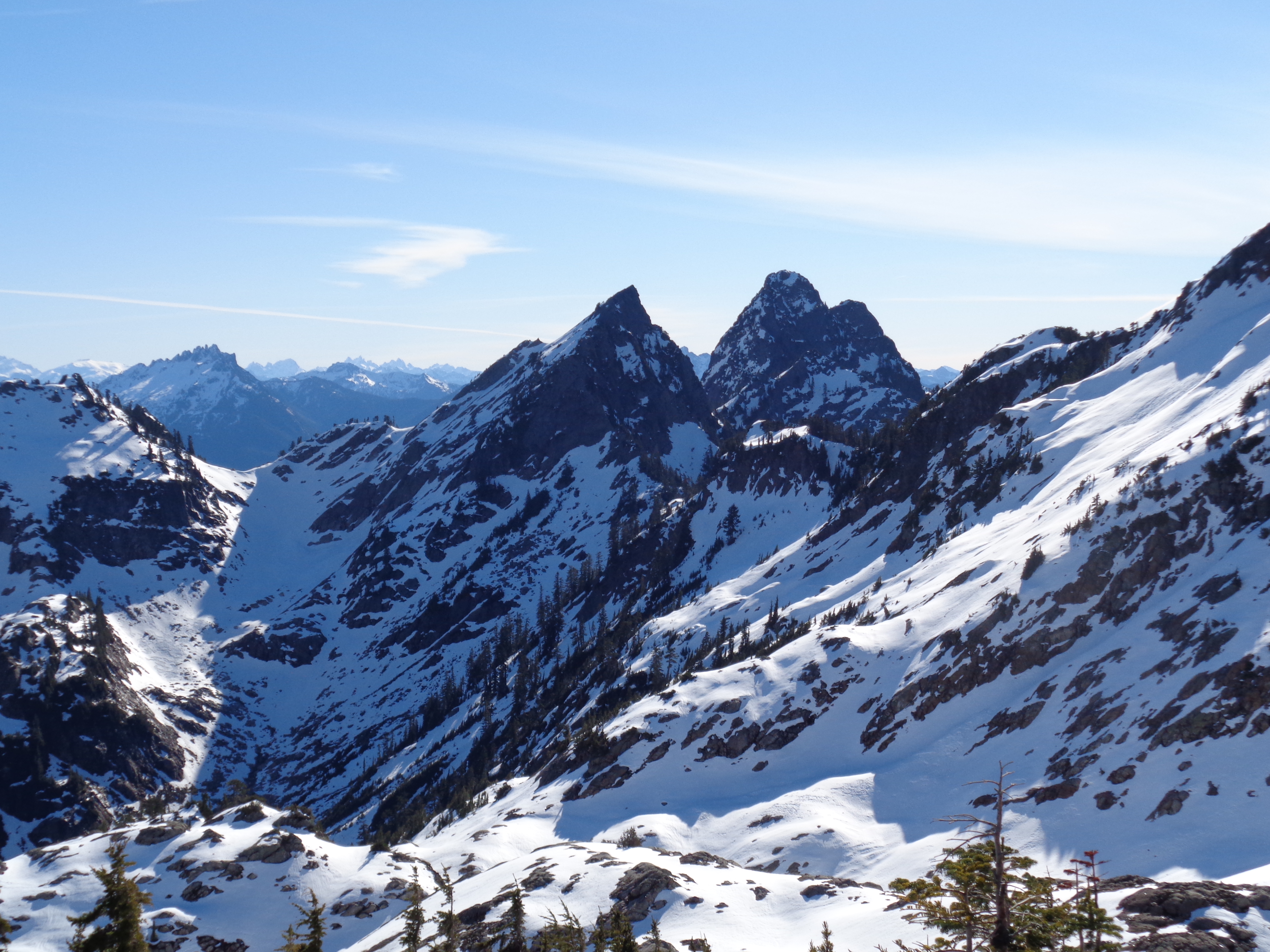
Gothic Basin, with Foggy Lake beneath Gothic Peak (center/left) and Del Campo (right)
- Distance: 9.6 miles (more because I spent time running in circles)
- Elevation: 3700ft gain (we went to a small peak) almost all of which is in the last 3 miles
- Weather: Sunny! 40’s and sunny
- Commute from Seattle: 1:45
- Did I Trip: No, which is a feat of pure determination
- Side note: It’s a little hilarious that in October I thought I could run this whole trail
![This is what pure joy looks like [taken by Surafel]](https://havetent.com/wp-content/uploads/2015/02/10995959_10203853107111307_6943306165412916428_o.jpg)
This is what pure joy looks like [taken by Surafel]

Waterfall after breaking out of the forest
I had the rental car for one more day, and had to put it to use, so I packed my things and drove out to Mountain Loop. I was debating between Dickerman and giving Gothic Basin a shot. Gothic Basin was a long shot. The last few trip reports didn’t make it to the basin, I didn’t have an axe, and I wasn’t sure how conditions would be at the top. But the Dickerman parking lot was packed. With cars. And people, and dogs. And I loved Dickerman, but I was more in the mood for a quiet hike than a trail with more traffic than Denny Way on a Friday afternoon. So I kept driving.
Gothic Basin doesn’t have a real parking lot anymore, so I parked in the Barlow Pass lot and trekked the 50ft down the road. Strenuous, I know. The first part of the hike is along an old road that was destroyed by rockslides/washouts, so it’s a flat mile with sneak views of Monte Cristo. It was sunny and foggy, and completely devoid of people. Perfect. I spent the first mile and half trying looking at tracks trying to figure out if there was anyone ahead of me. There were two cars near mine, so it was possible that I’d have company. Even when you can’t get to the basin, this hike is gorgeous.

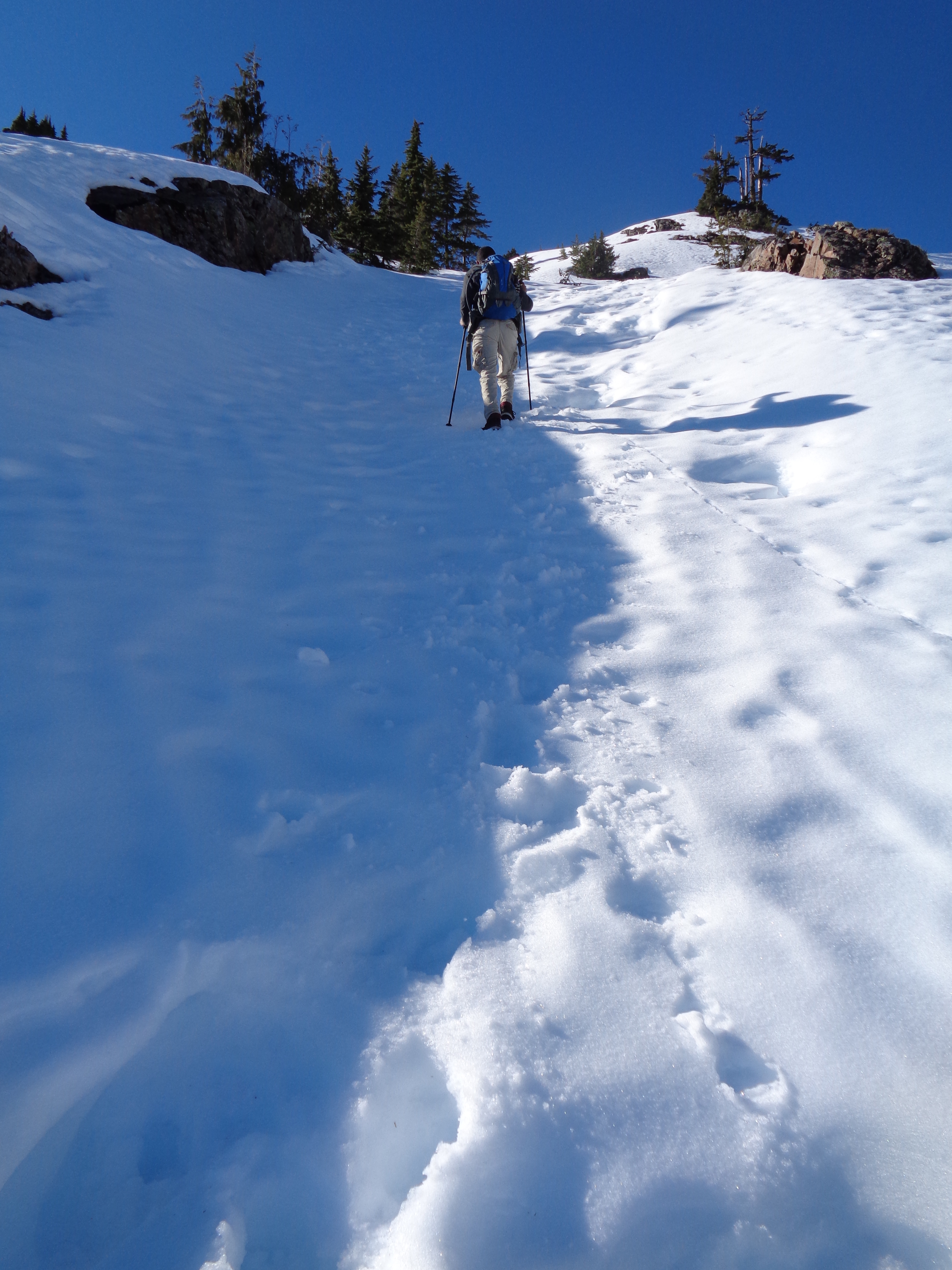
Trekking through the snow, Monte Cristo in the back
The creek crossing went much more smoothly than last time. Was it because I had poles? Or because I learned? I still feel like an awkward goat when I’m using the poles, but at least I didn’t have to wade/crawl across it like back in October. After the creek, the switchbacks started. And my legs complained. But I wanted those views. Eventually I head a few voices – yes! Company! They caught up to me quickly, a family of three in shorts and T shirts. We leapfrogged for a bit, stopping to take pictures as views opened up. They didn’t have traction devices, but figured (like me) that they’d see how far they got. I thought I’d have to turn around at the first waterfall above 3500ft. Nope, snow free. Okay, the second waterfall. Nope, snow free! Seriously, it could be summer. Green, thriving trees, sunny blue skies, shorts and t shirts. Oh crap, snow patch. Maybe turn around at the fourth waterfall? Nope, solid snow bridge. So far so good.
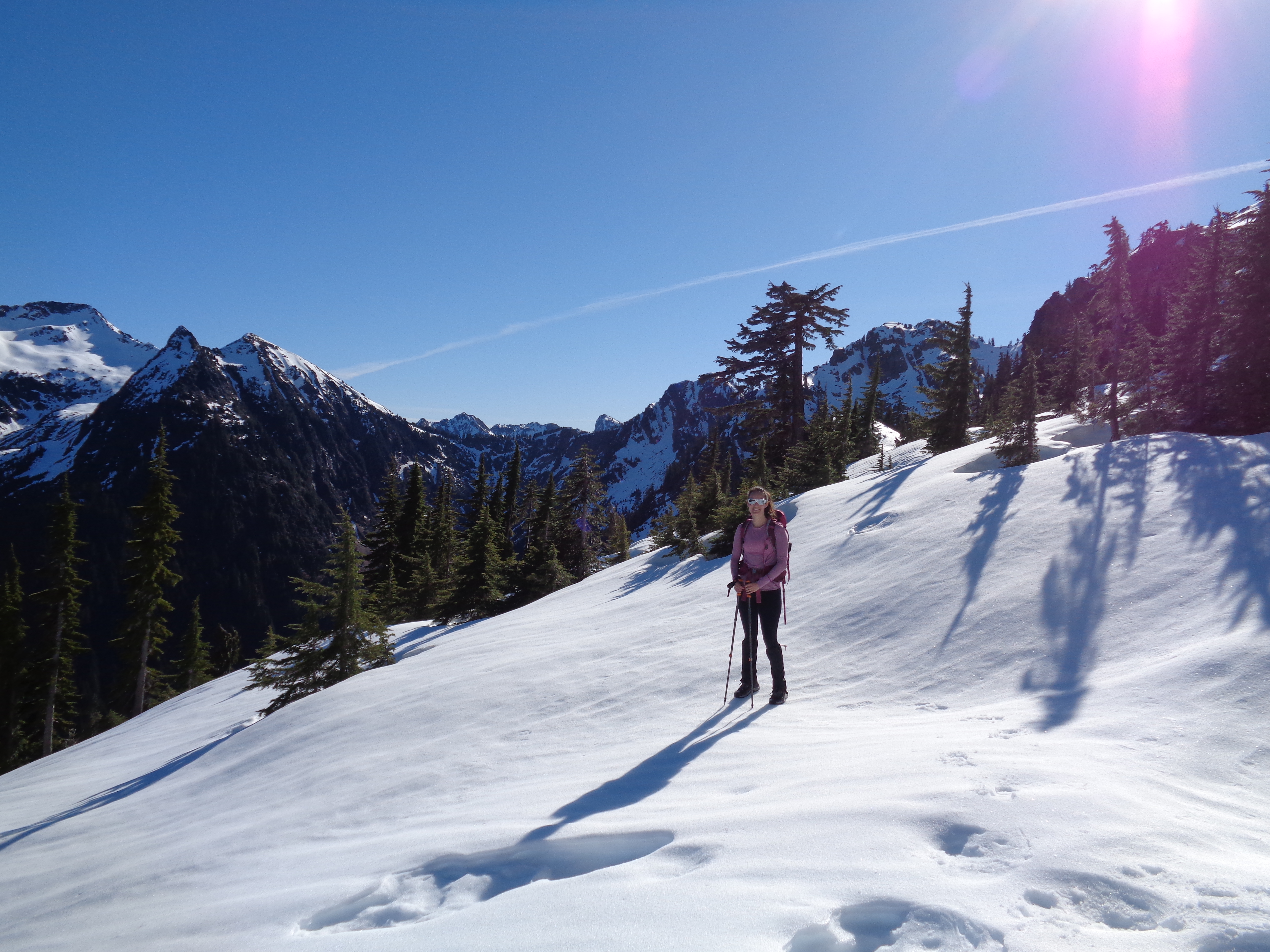
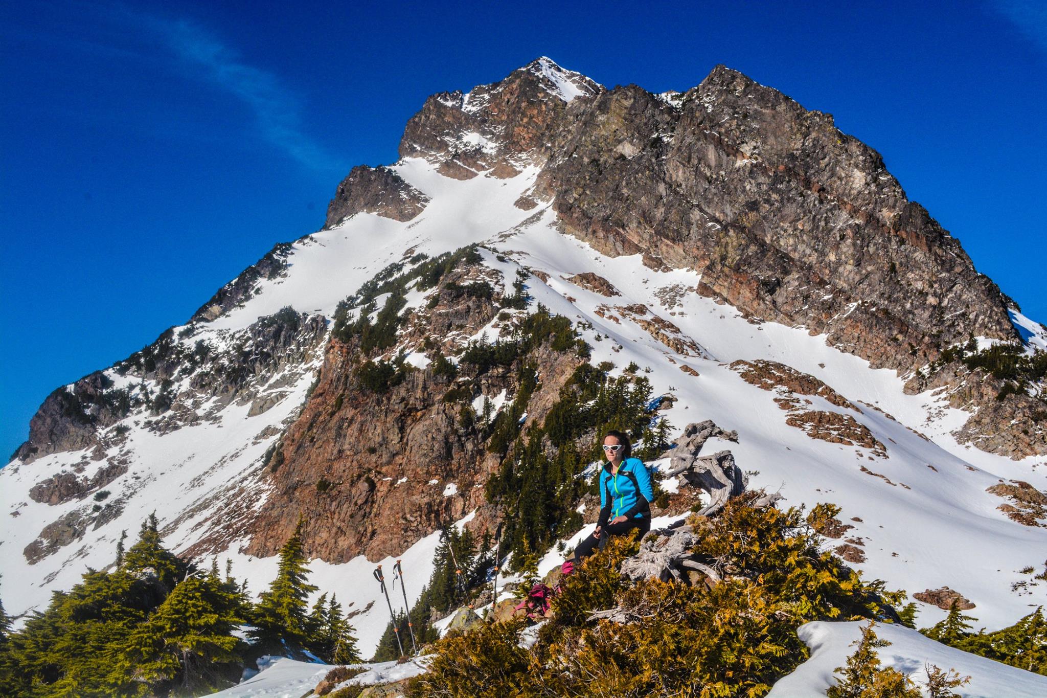
Where I thought I’d turn around for real, about 4.4 miles in (first use of my sweet new Julbo Explorers)
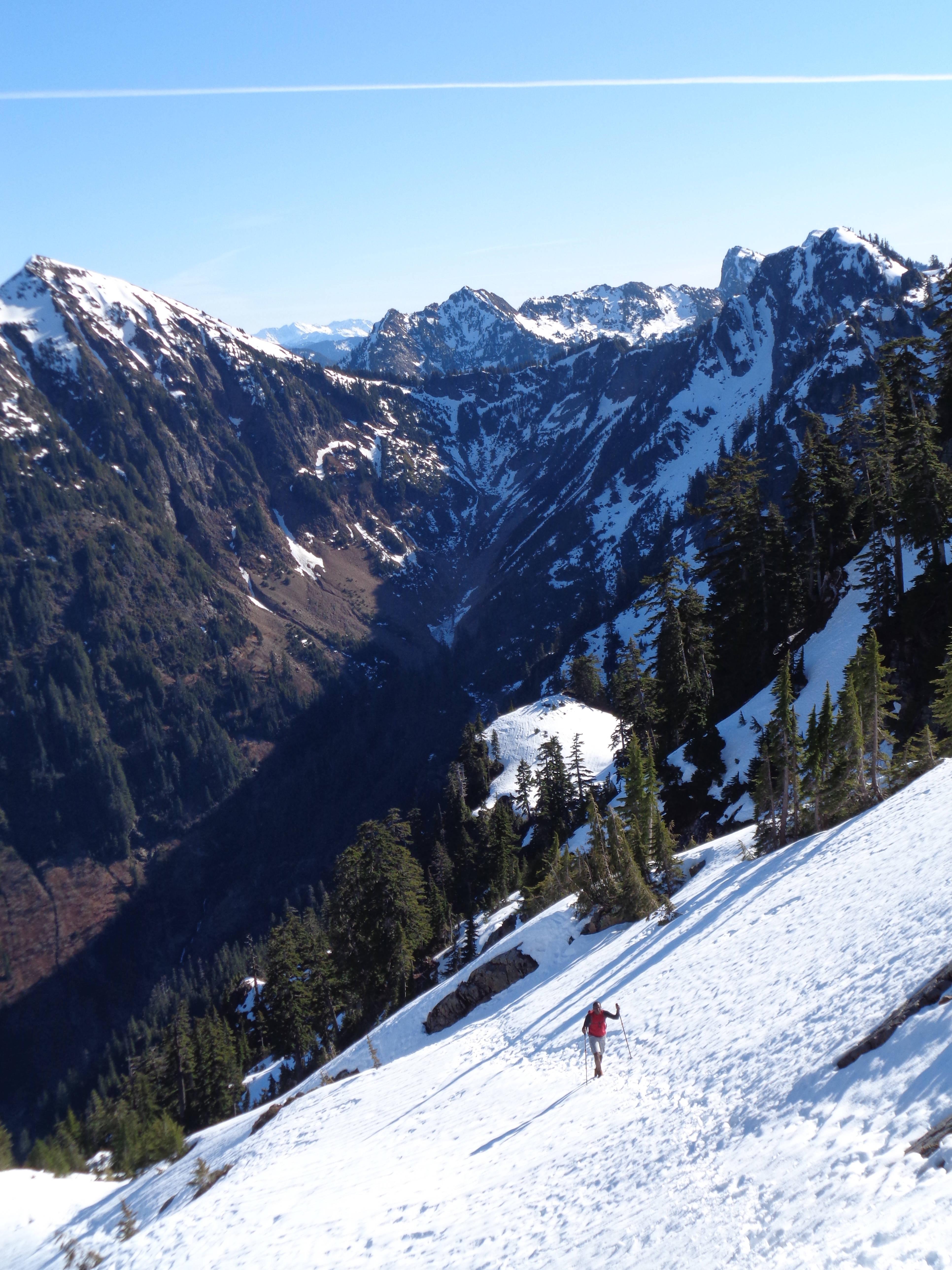
Once the snow started, there were tons of tracks, and it wasn’t hard to follow the trail. Beautiful views, beautiful waterfalls, sunny blue skies, I was already content. We made it to just below the basin (about 4.3 or so miles in) before looking up at the steep ridge that separated us from the basin itself. I ran up the first slope to scout out what was beyond and see if it was doable with boots, but it only got steeper from there.
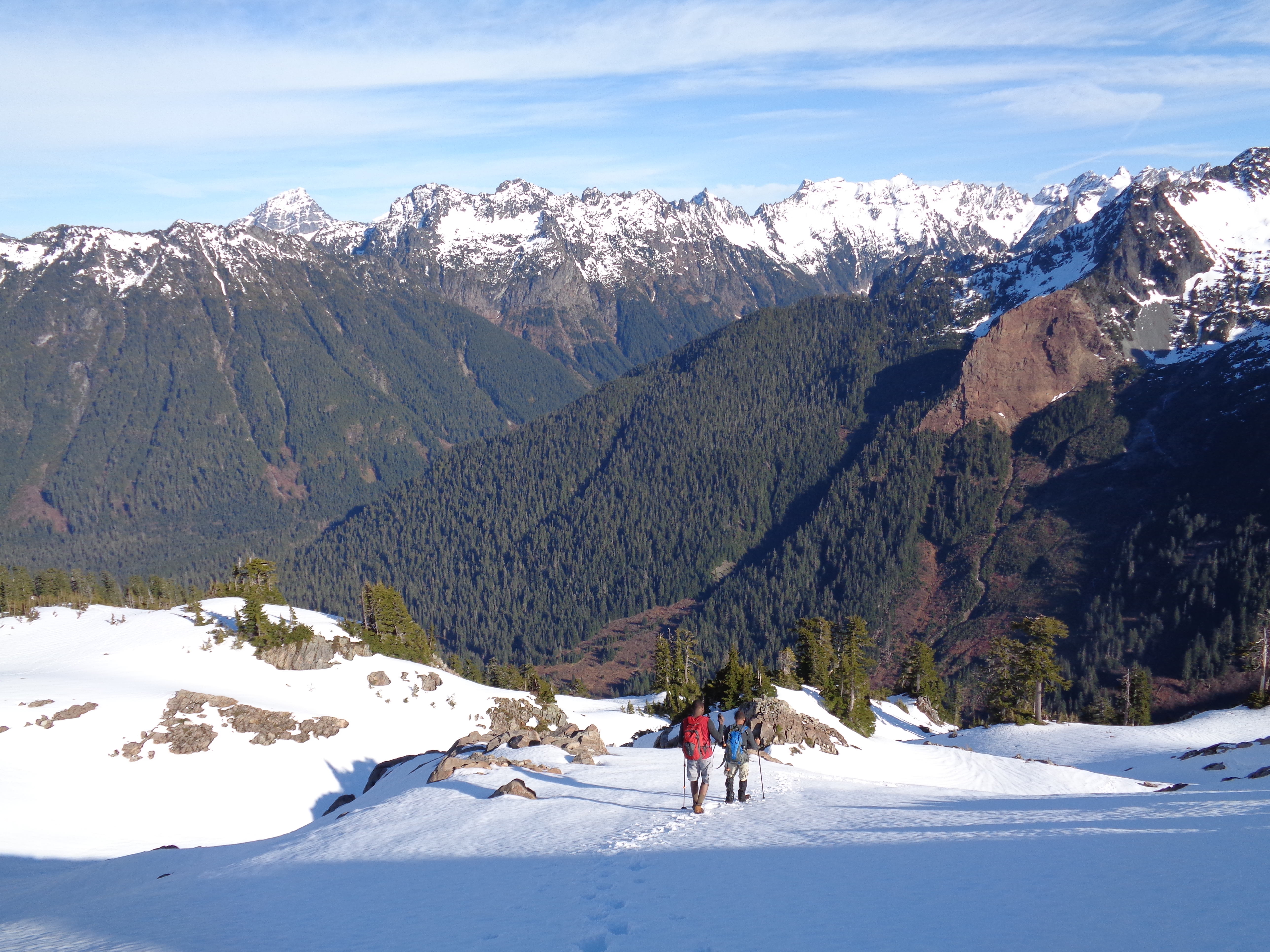
Game on, folks! Surafel in the lead
The family decided they were going to turn around, and began to head back. I had all day, and figured I’d at least poke around outside the basin before I left. I checked out a few other routes up to the basin, decided that while it was pretty feasible, I wasn’t comfortable doing it alone without an axe, and finally called it a day.
Ibrahima looking like a mountaineer, Monte Cristo on the left
Lucky for me, I ran into Surafel and Ibrahima on the way down who had traction devices and wanted to give it a shot. No fear from these two, and as soon as they said they were going to try, I was in. Let’s do it. I’m here, and if you guys are down, I’m down. We set off and headed up the first slope. What I thought was a two-slope process ended up being probably 45 minutes of traversing and climbing.
Ibrahima again
Someone before us had left tracks that had almost frozen into a staircase at points which helped, and the snowpack was firm and perfect for microspikes. I couldn’t resist turning around to snap some photos of Ibrahima behind me, though none quite captured the steepness or how awesome everything looked.
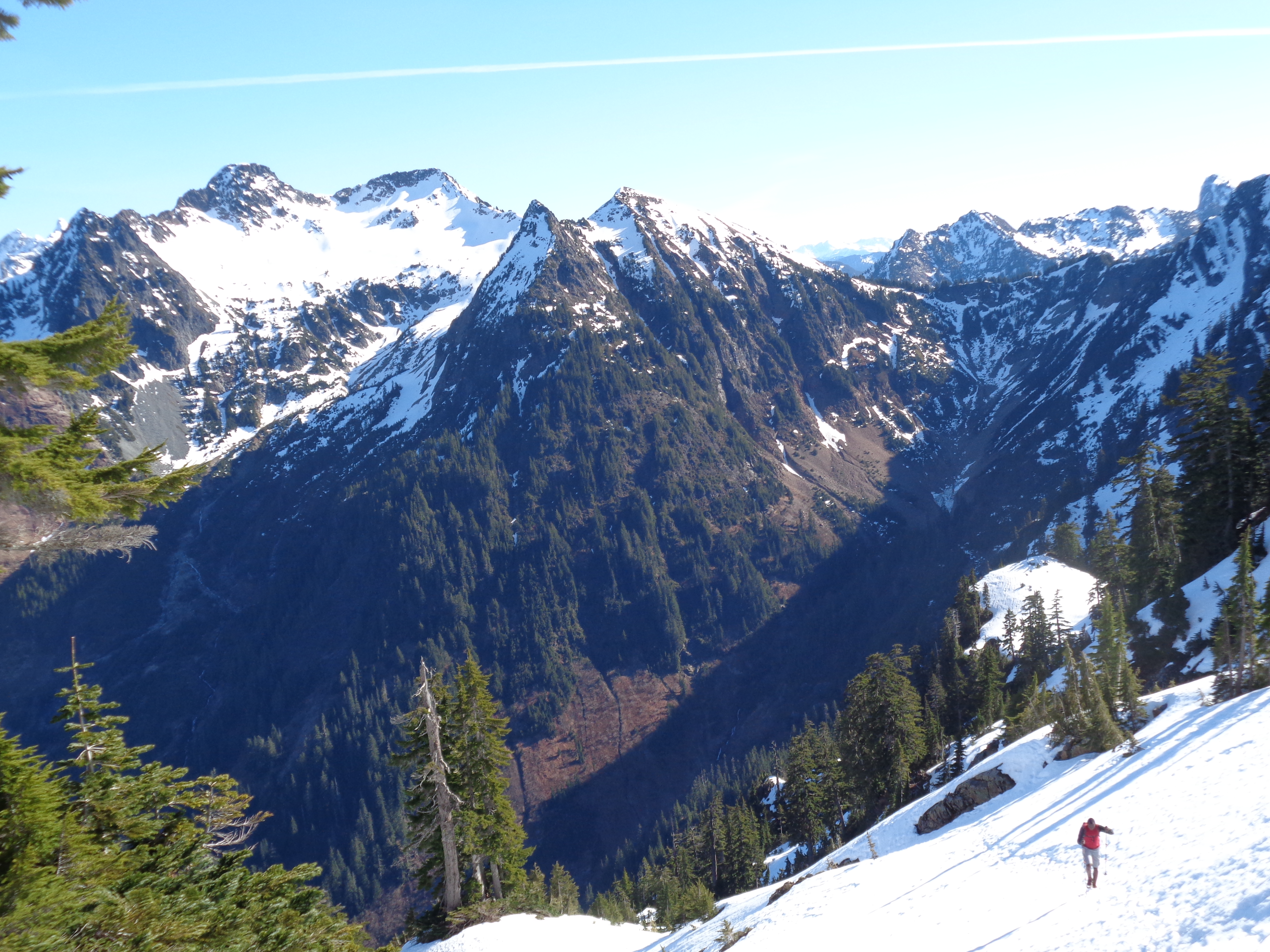
Left side of the basin (I actually don’t know what those two peaks are)
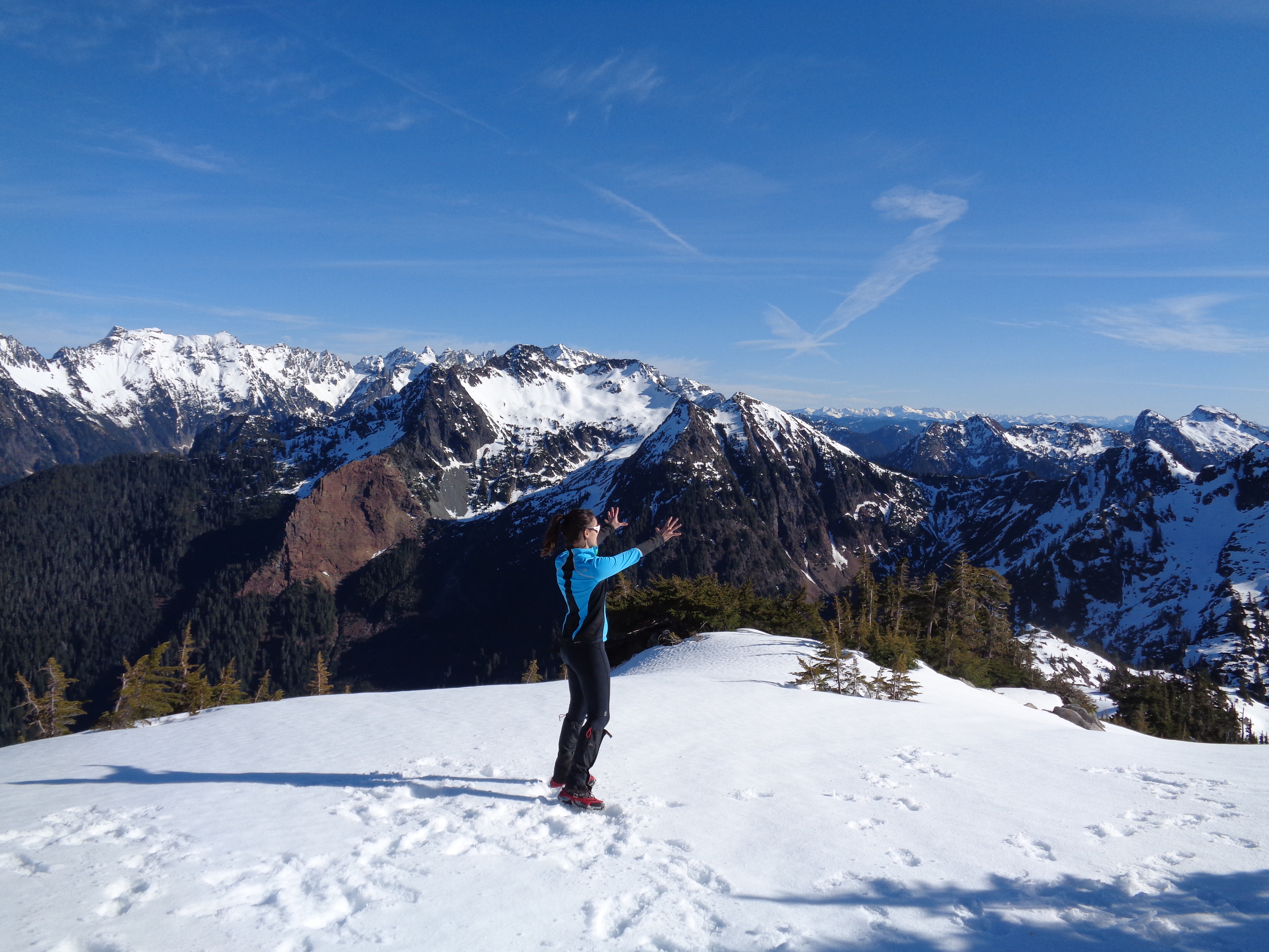
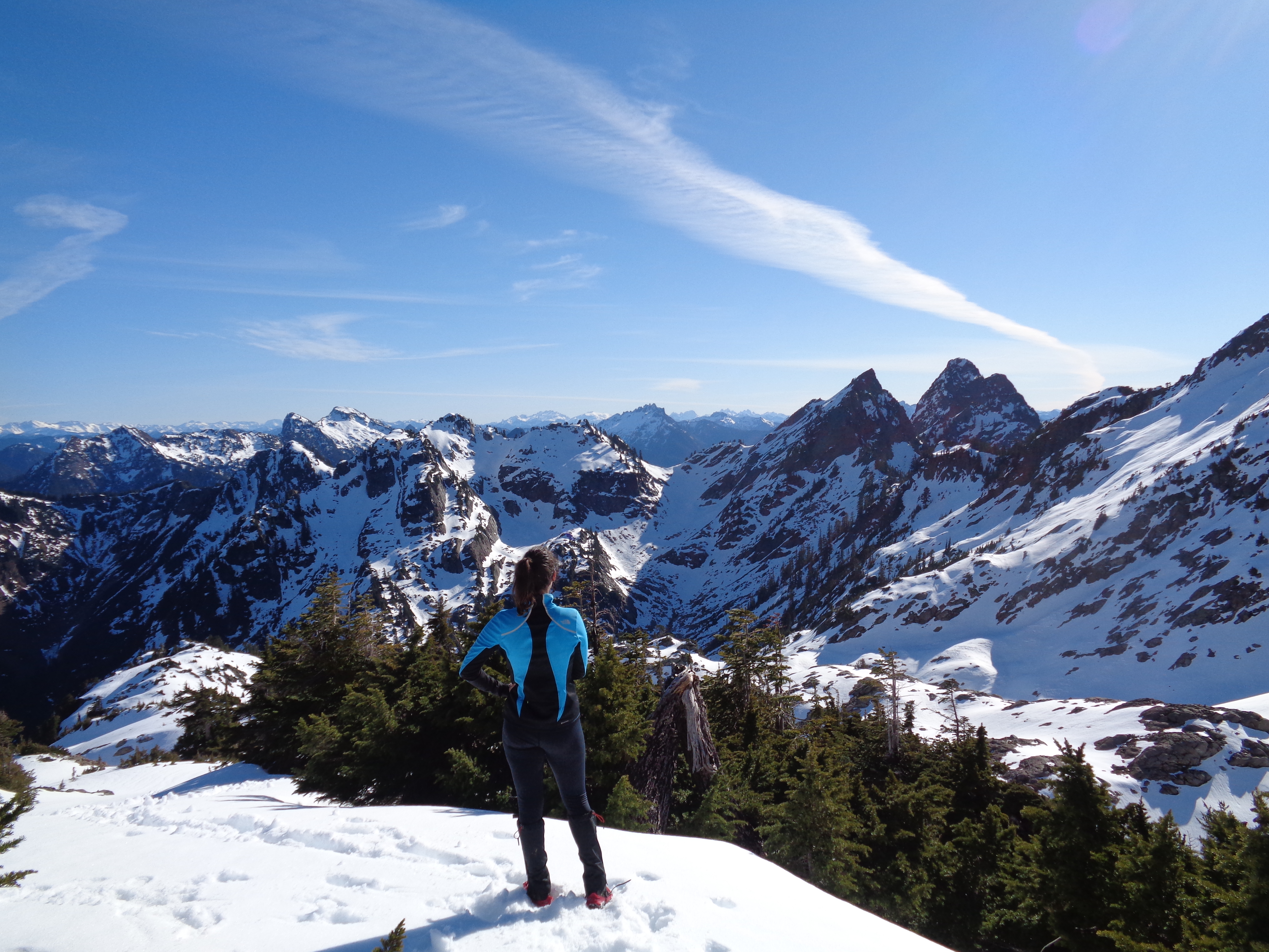
We finally crested the ridge overlooking the basin, and I couldn’t believe it. We had made it. We made it WE DID IT I had that rush of excitement where I don’t know what to do with myself. I had known we were going up, and I had known we were getting close, but nothing compares to the feeling you get when you turn a corner or gain a ridge and can suddenly see everything just laid out in front of you. I’m still amazed. I think this was better than the last time I was up there. I eagerly ran back and forth across our small summit taking photos in every direction and ooh-ing and wow-ing while Surafel and Ibrahima got settled in. Finally I remembered I had cookie butter(!) and tea that demanded consumption. And everything tastes better on top of the world.
I mean the view is okay.. I guess I can snack here (Del Campo in the background) [taken by Surafel]
Astounding views (Monte Cristo center)
Del Campo is the huge peak to the right of Foggy Lake, and Gothic Peak is behind the lake. If you look north, you’re staring at the Monte Cristo range, Sloan, Sheep, and Pugh. Beyond those you can just barely see the tops of several other ranges, and I can only imagine how awesome everything looks from Gothic Peak or Del Campo, which I’d love to do this summer.I was told that both are tough scrambles, but doable without ropes. Sounds like I shouldn’t solo it, but I’ll get there.
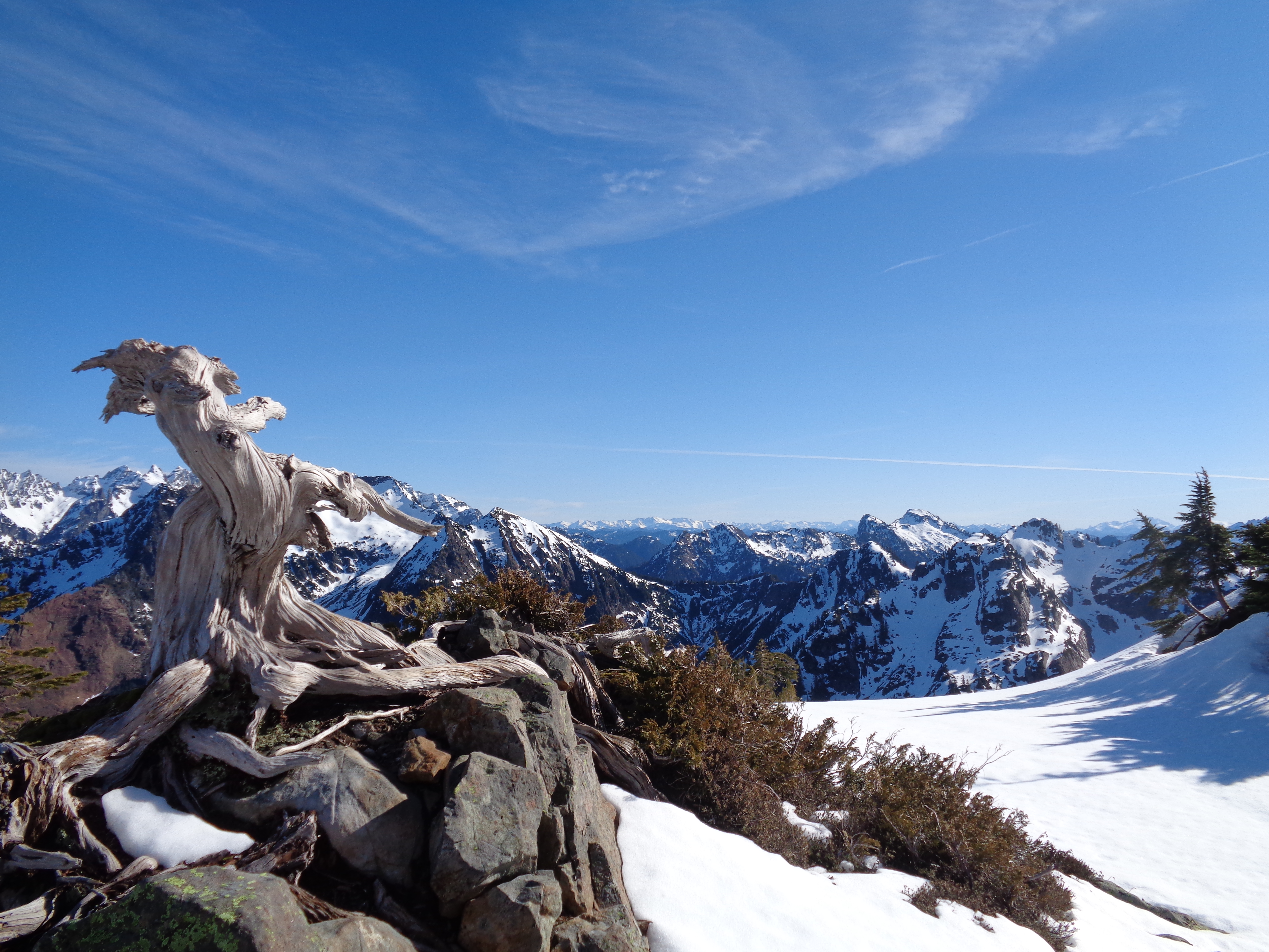
Snack place of choice, looking away from the basin
After a half hour or so of pictures, time to head down. I was worried it’d be tougher than the way up, but with such a firm snowpack, it wasn’t bad at all. There were two other hikers we never crossed paths with who had full crampons, but I felt fine in the microspikes.
Having company on the way down a trail like that is always appreciated, because nothing drives me more crazy than never-ending switchbacks through a forest, even on a sunny day after a fantastic hike.
![Descending [taken by Surafel]](https://havetent.com/wp-content/uploads/2015/02/10403805_10203853105351263_5332851316975867245_o.jpg)
Descending [taken by Surafel]
Ibrahima and Surafel Descending
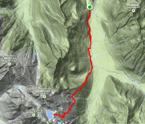
Strava map and elevation/mile stats here. The small circle is when I was trying to find alternate ways up to the basin, which ended up being further away than expected. On the way into the hike, if you look closely, I took a side trail, whereas I took the road on the way back.

Surafel descending with Pugh (left), Glacier (back center), Sheep (foreground), Monte Cristo (right)
Both work. The road felt faster, but maybe that’s because I had company. I took just over 7 hours round trip, but that was with a solid hour of bumming around at the top figuring out if it was worth trying before meeting Surafel and Ibrahima. According to Strava, it was over 4 hours of moving, so if you go straight up and straight down with no breaks, that’s an estimate. There are some tough miles in there, though – one has 1200+ ft of elevation gain. I knew it was steep, didn’t realize it was that steep! Like I said, hilarious that I thought it’d be a good trail run. I should mention all of the rocks and mini-scramble-hops you need to do once you’re out of the woods.
Surafel and Ibrahima, I can’t thank you enough! I hadn’t had a hike this spectacular since Mount Townsend back in January, and it’s a great feeling being able to look back and feel like I accomplished something. I had been trying not to get my hopes up that entire hike, because if I did, I’d be disappointed if I didn’t get to the basin and I’m trying to avoid my baby version of “peak fever.” But that just made the hike even more incredible. Happy hiking!
Screenshot of my Strava map
Bonus picture before you go! Because after this, it’s back to job apps, and eventually a late shift at REI. And let’s be real. This is way more fun.
Looking over the left side of the basin

Love that Strava map!
LikeLike
“And everything tastes better on top of the world.”
This made me smile huge. Always a pleasure to read about your adventures. I gave you a shout out on my new blog ❤
Keep up the good work.
LikeLiked by 1 person
Thank you so much! I’ll be over to check yours out momentarily 🙂
LikeLike
Pingback: Del Campo | Have Tent, Will Travel
Pingback: Spring Training | Have Tent, Will Travel