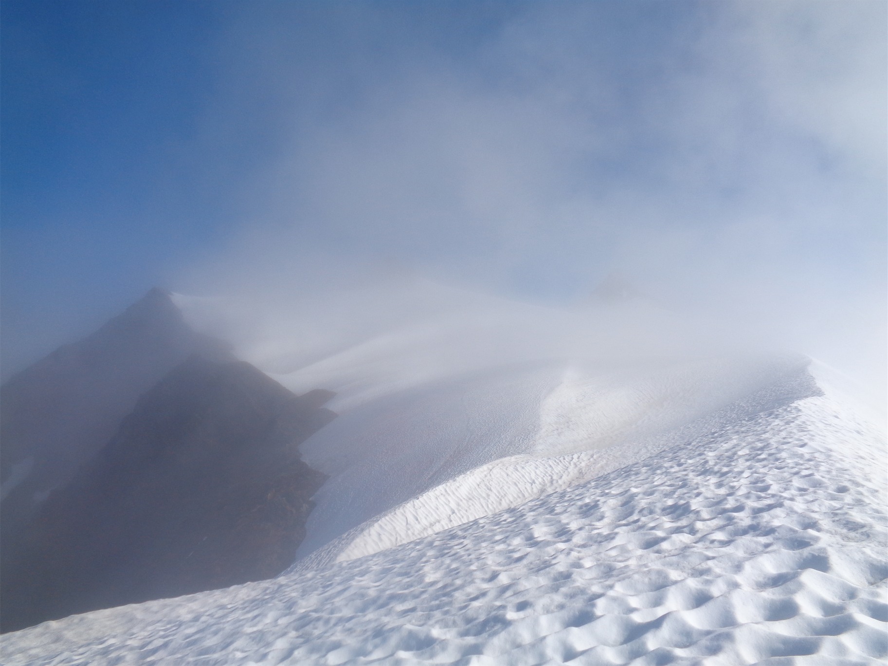
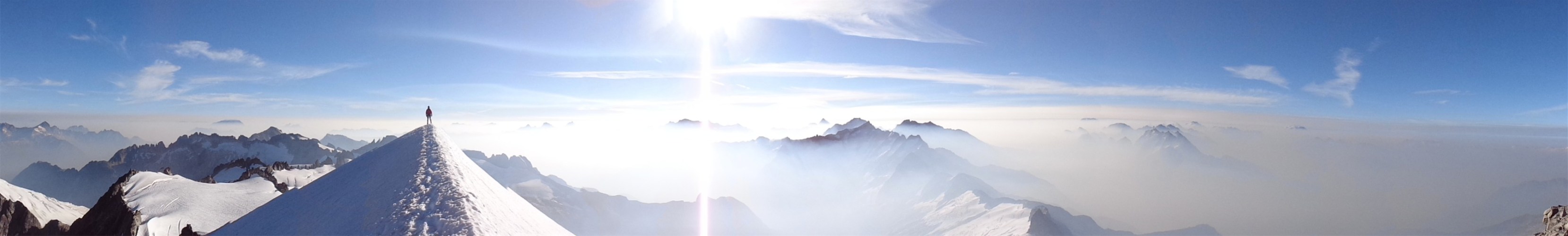
You know you’re in for a long night when this is the view while rappelling

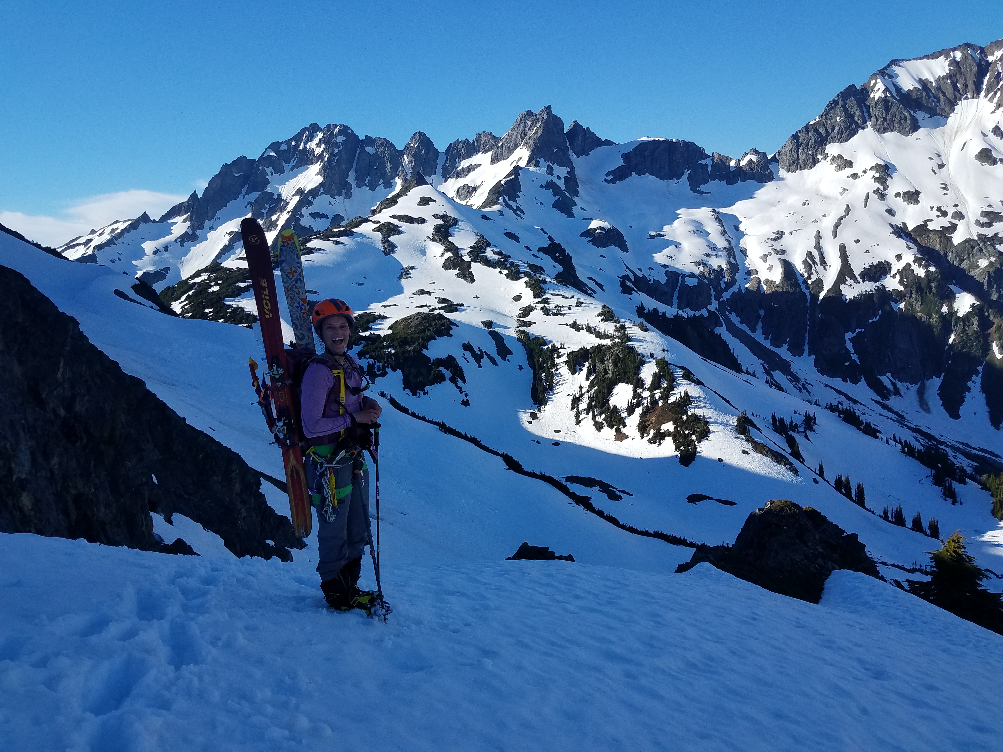
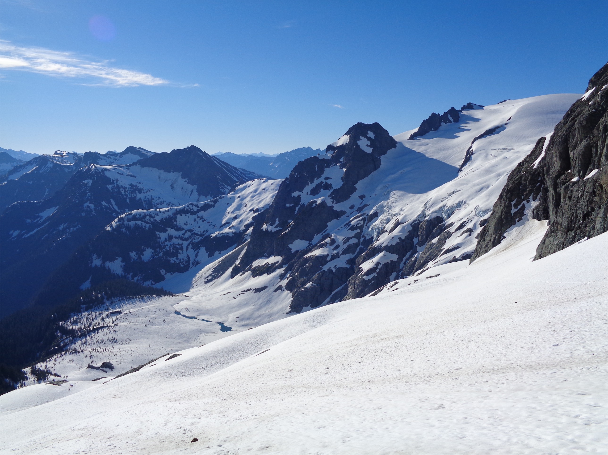
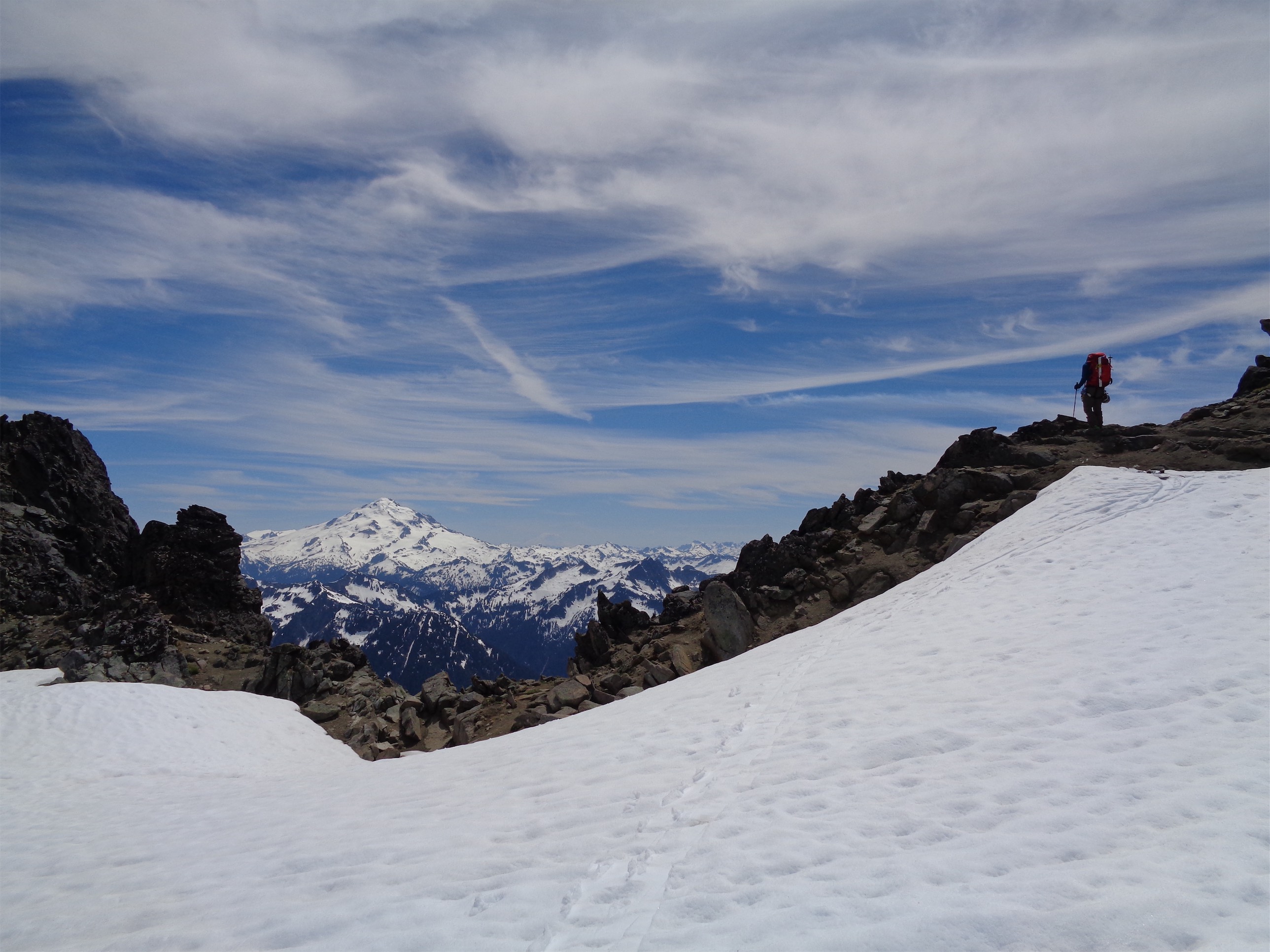
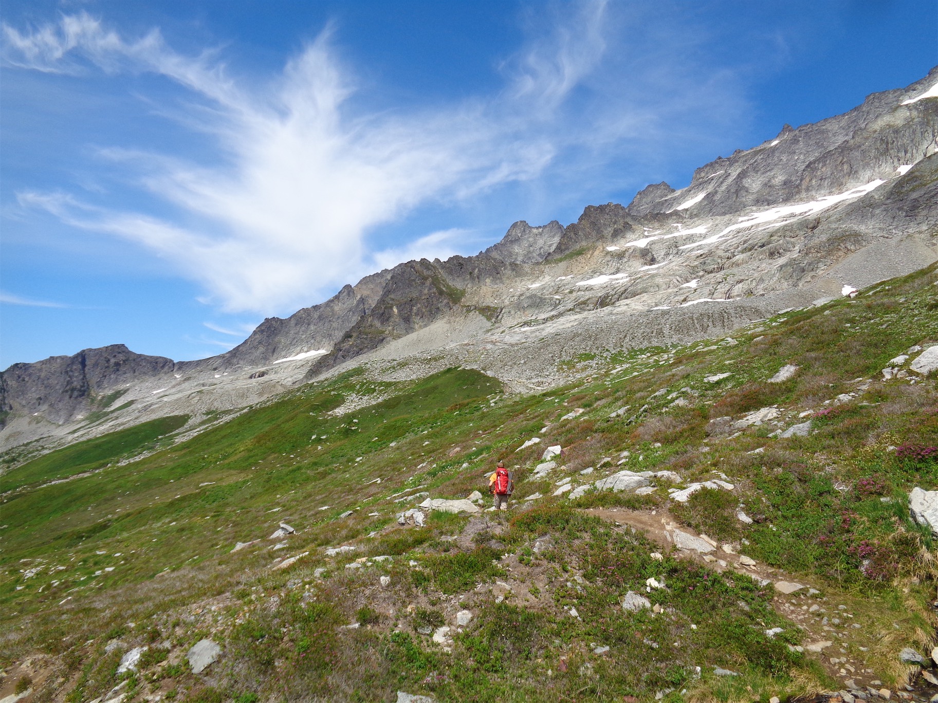
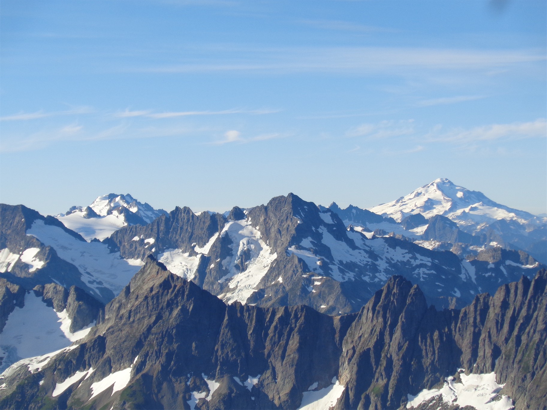
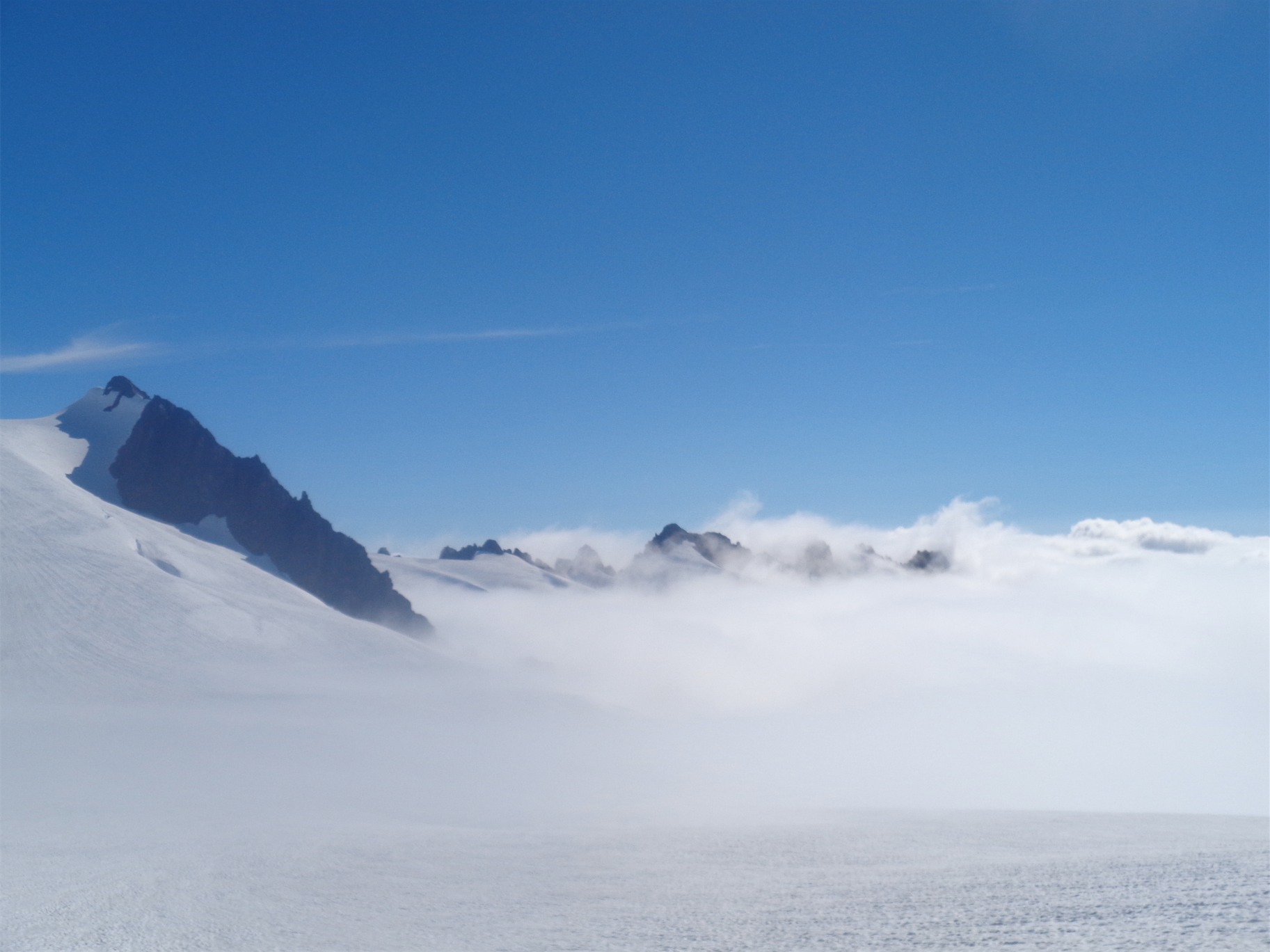
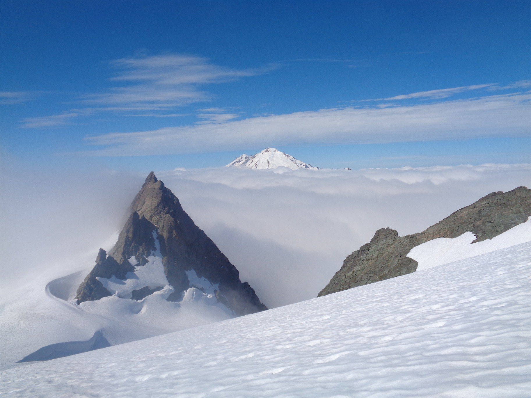
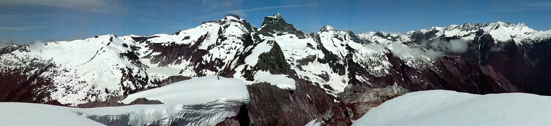
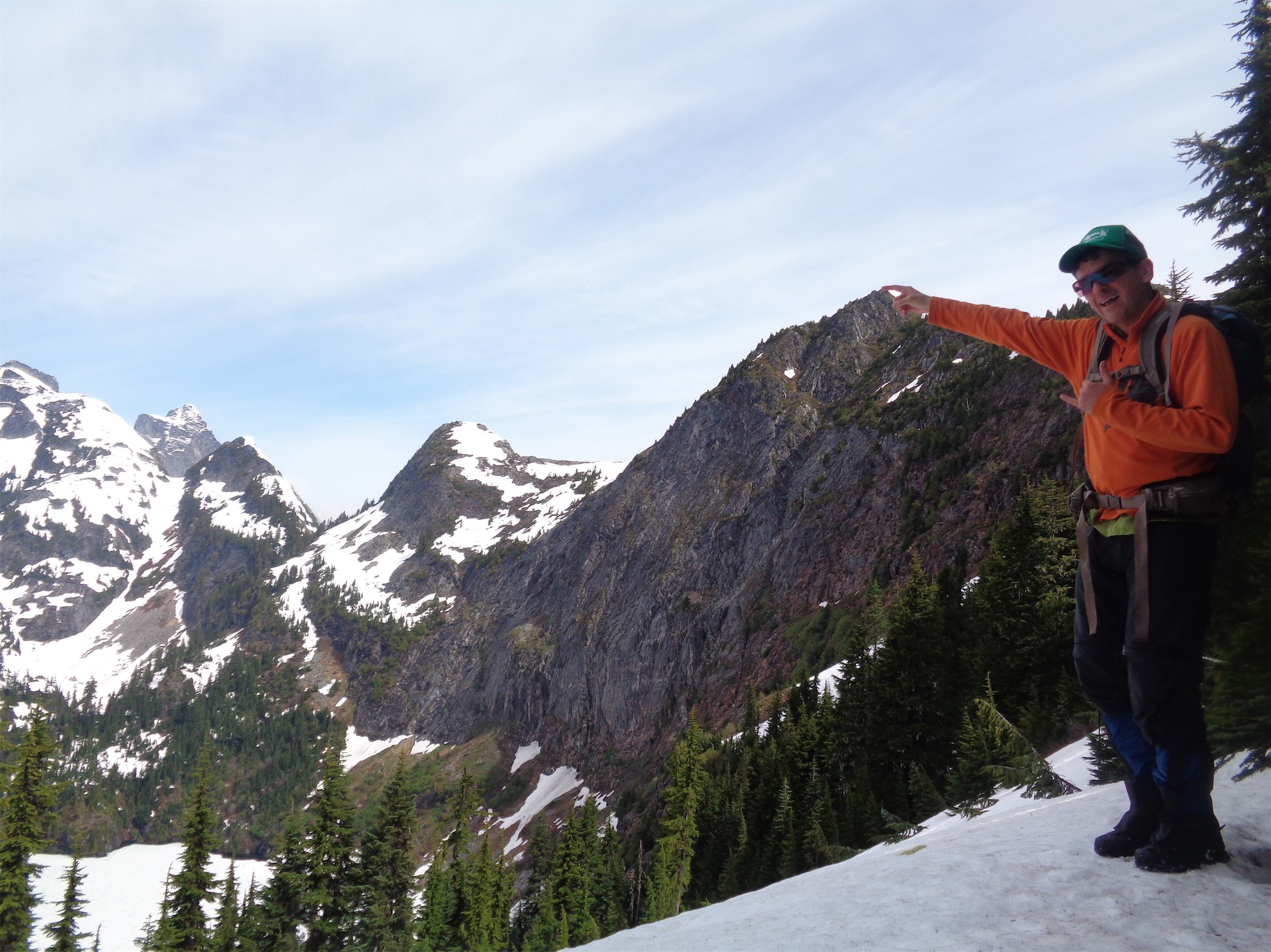
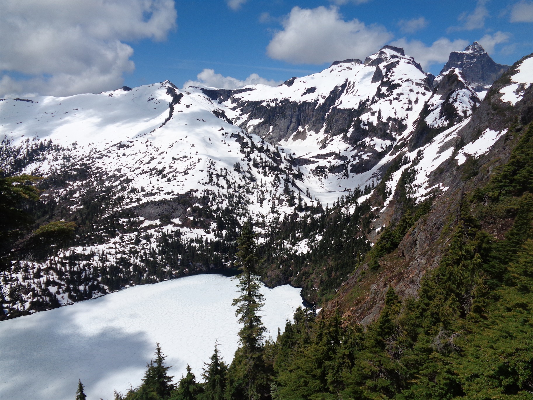
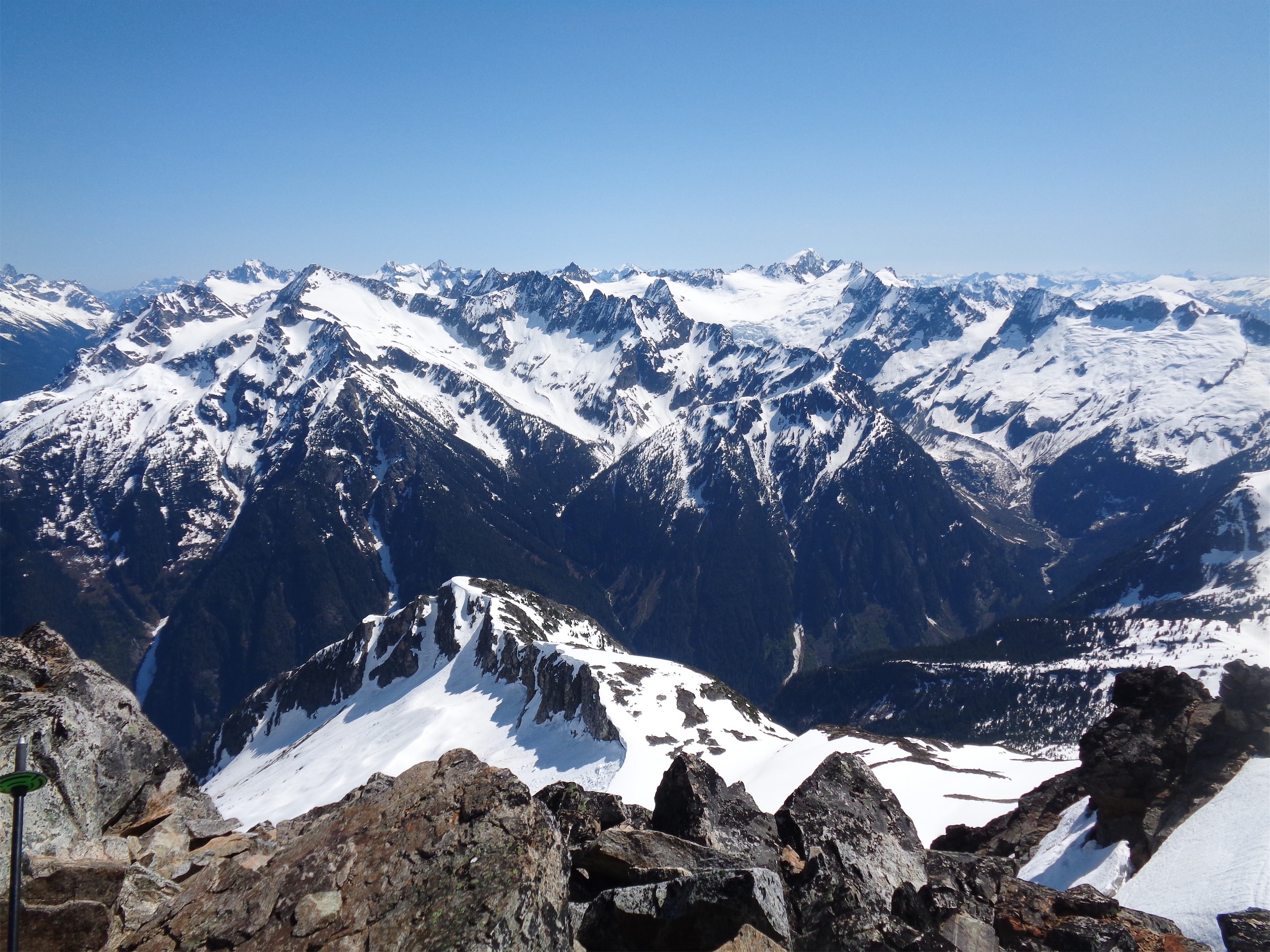
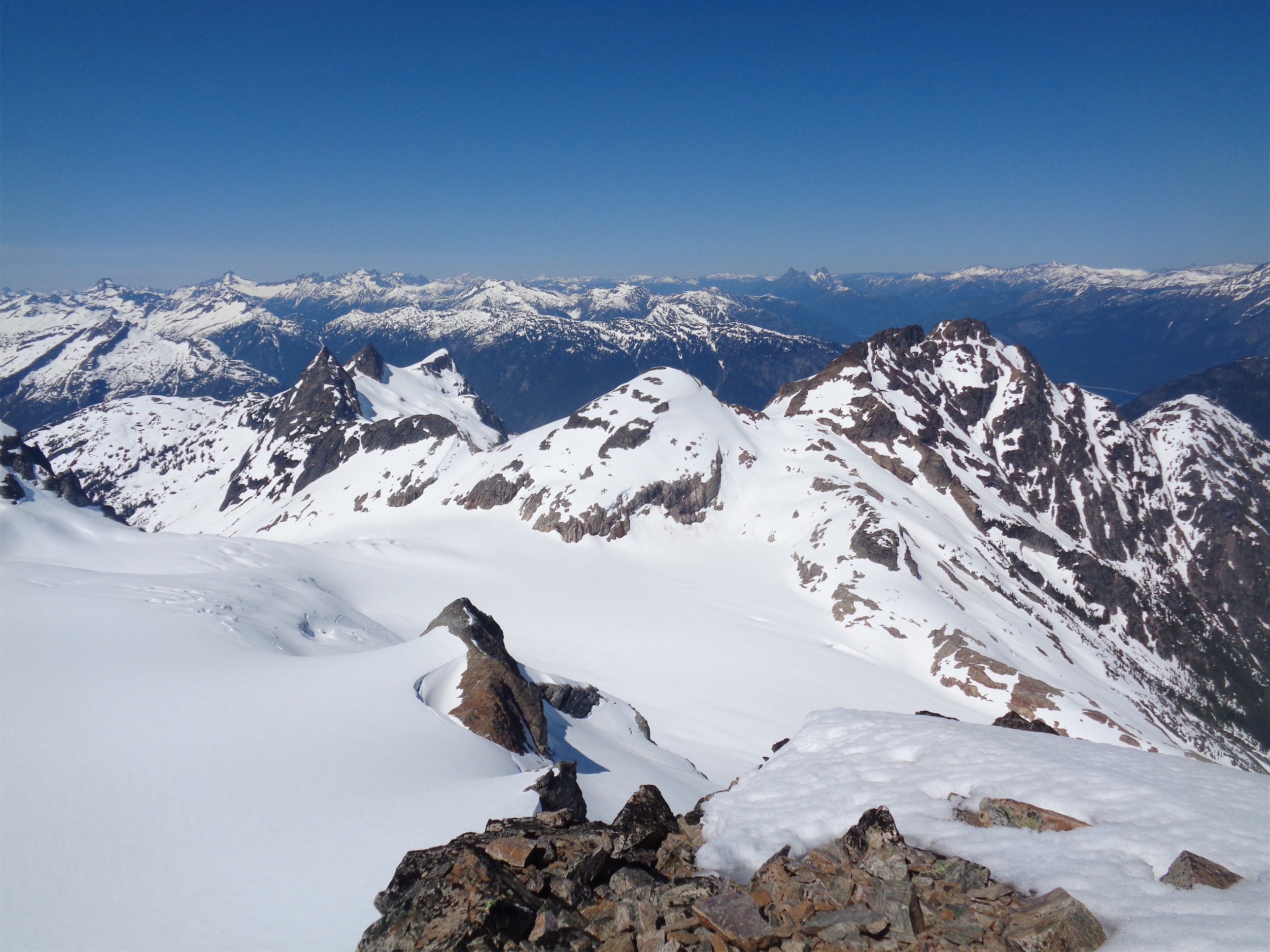
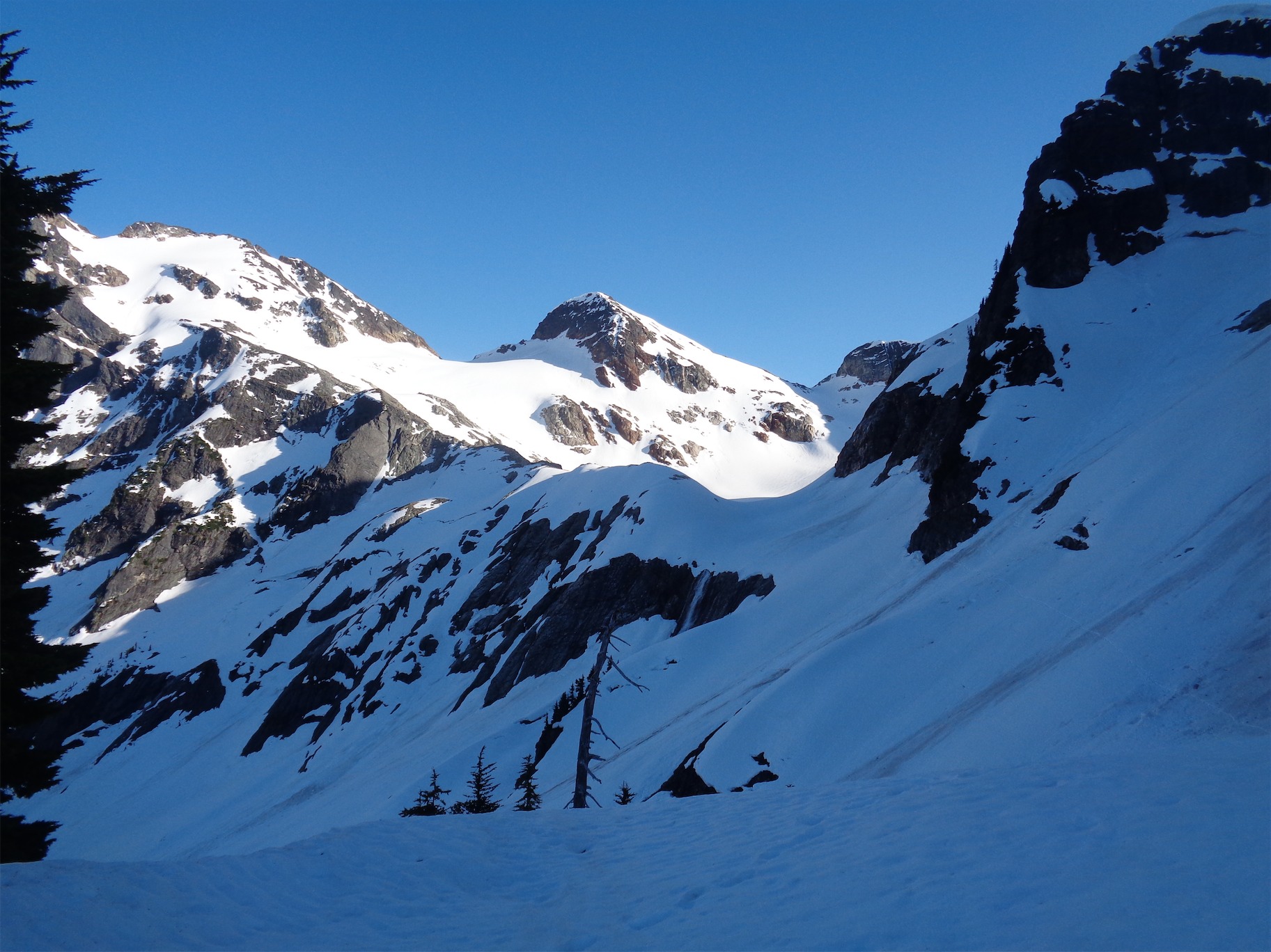
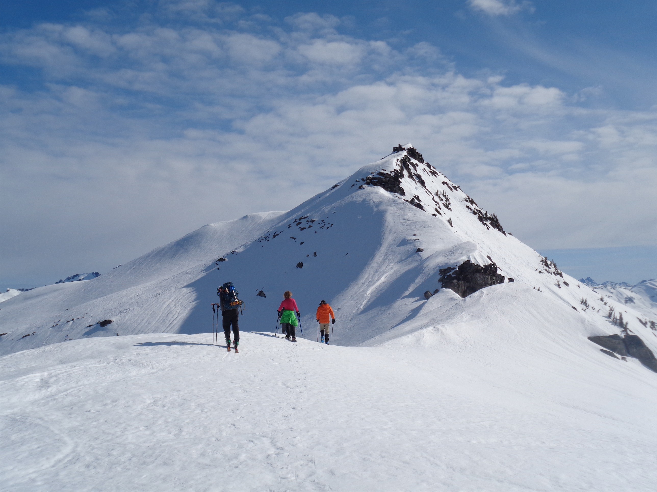
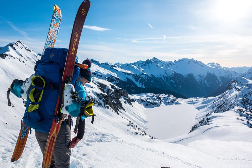
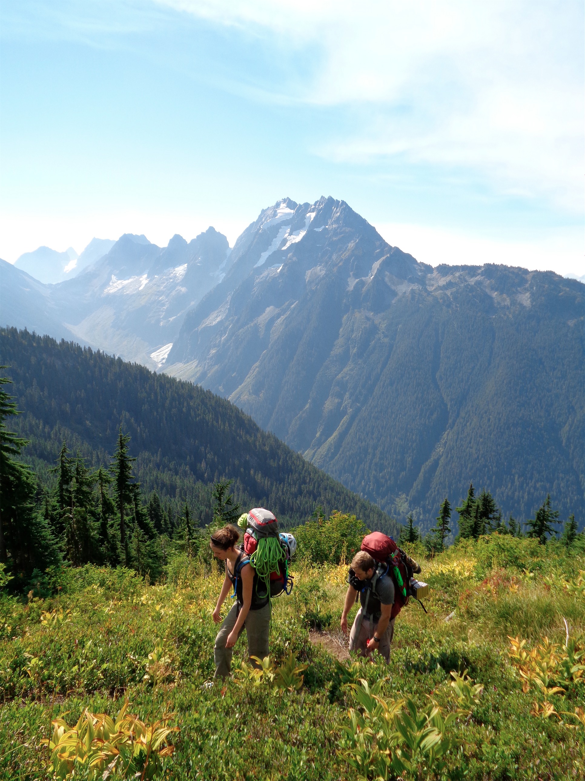
Looking at the entire traverse from Boston Basin
How did my last post start? Murphy’s law? Well this one is similar, but more along the lines of “the best laid plans of mice and men often go awry.” We had big dreams to do the Torment Forbidden traverse, which I had done last year. Last year I had followed all of it, so it was super easy in my head. I didn’t understand why everyone took three days and not just two. I was also in better shape with more exposed climbing under my belt, whereas this year I haven’t been out as much. But it’s also because seconding puts you on autopilot. This year, for whatever reason, was a different story. On the way up I joked about how 30% of my North Cascades trips are bail trips. Jinx, I owe myself a soda.

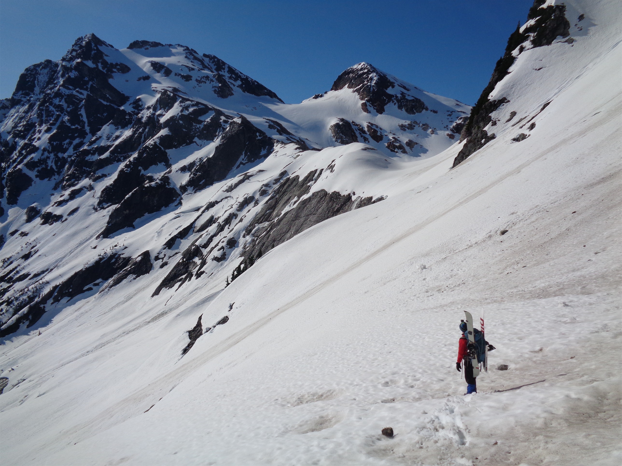
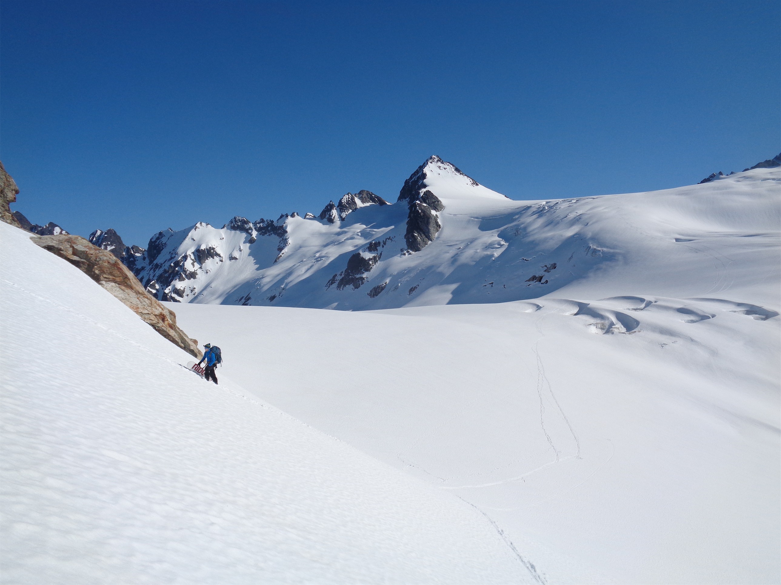
Calvin coming across the basin, Johannesburg back right
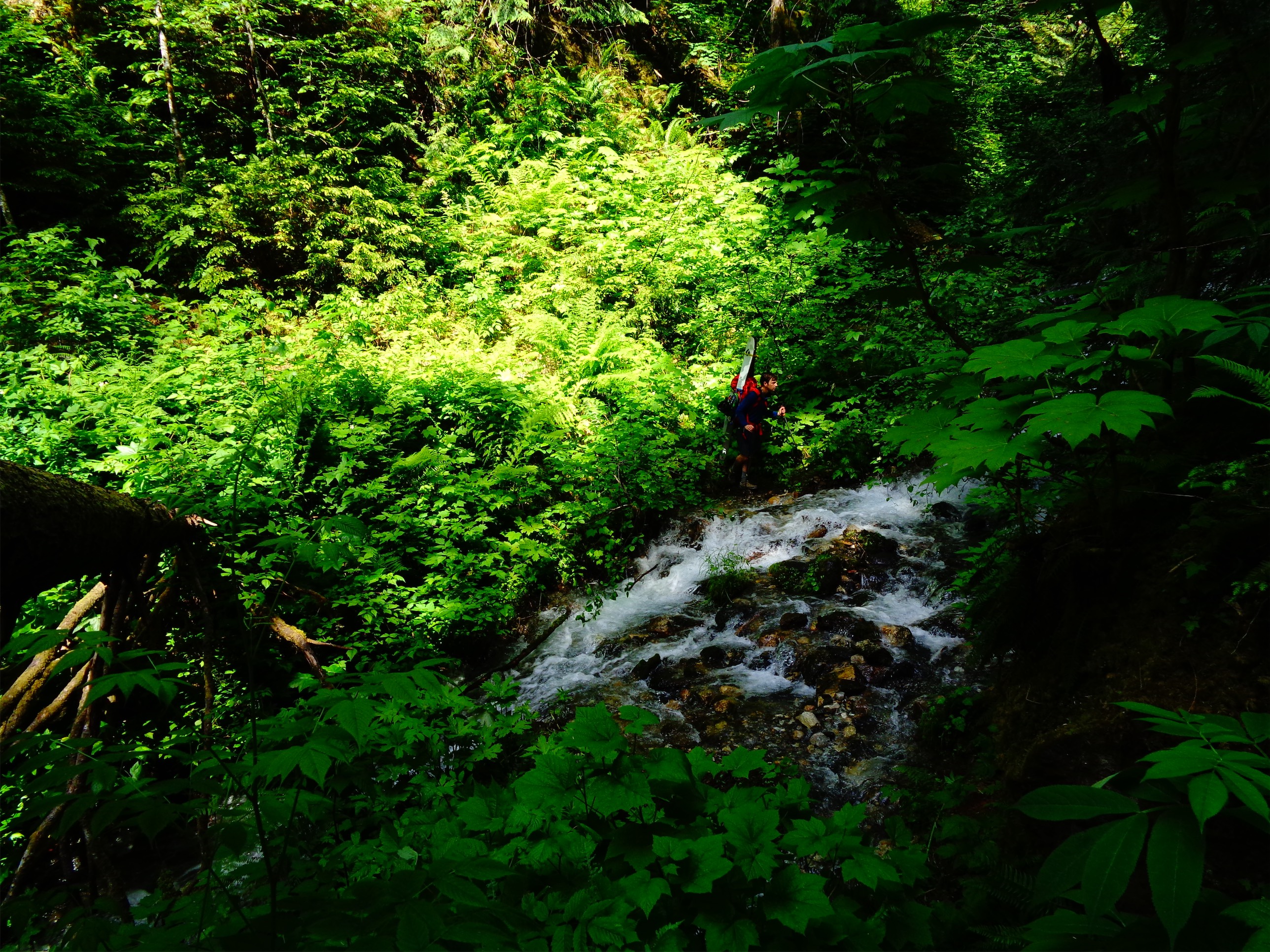
We car camped in Calvin’s awesome rooftop tent by the river flowing beneath Cascade River Road the night before (maybe a half mile from the trailhead) and woke up at 5 to get started. The hike up to Boston Basin was less miserable than the last year, though we still had to contend with bugs and a surprisingly high level of humidity. Calvin was having some struggles. “Shit! Fuckin tree branch-” I heard the buzzing. “Ah, shit, SHIT!” It wasn’t a branch stabbing him. Three bee stings to the right arm. Let the swelling and itching begin. Is that enough of an issue to count towards my three strikes rule? (3 things go wrong, I bail). Meh, he can probably tough it out.
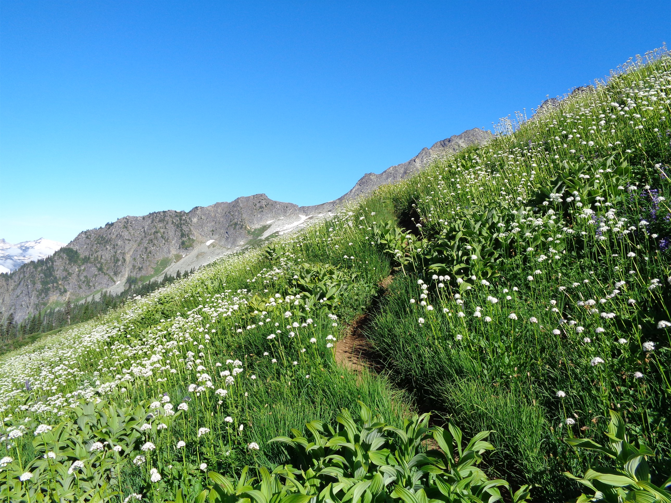
Wildflowers everywhere
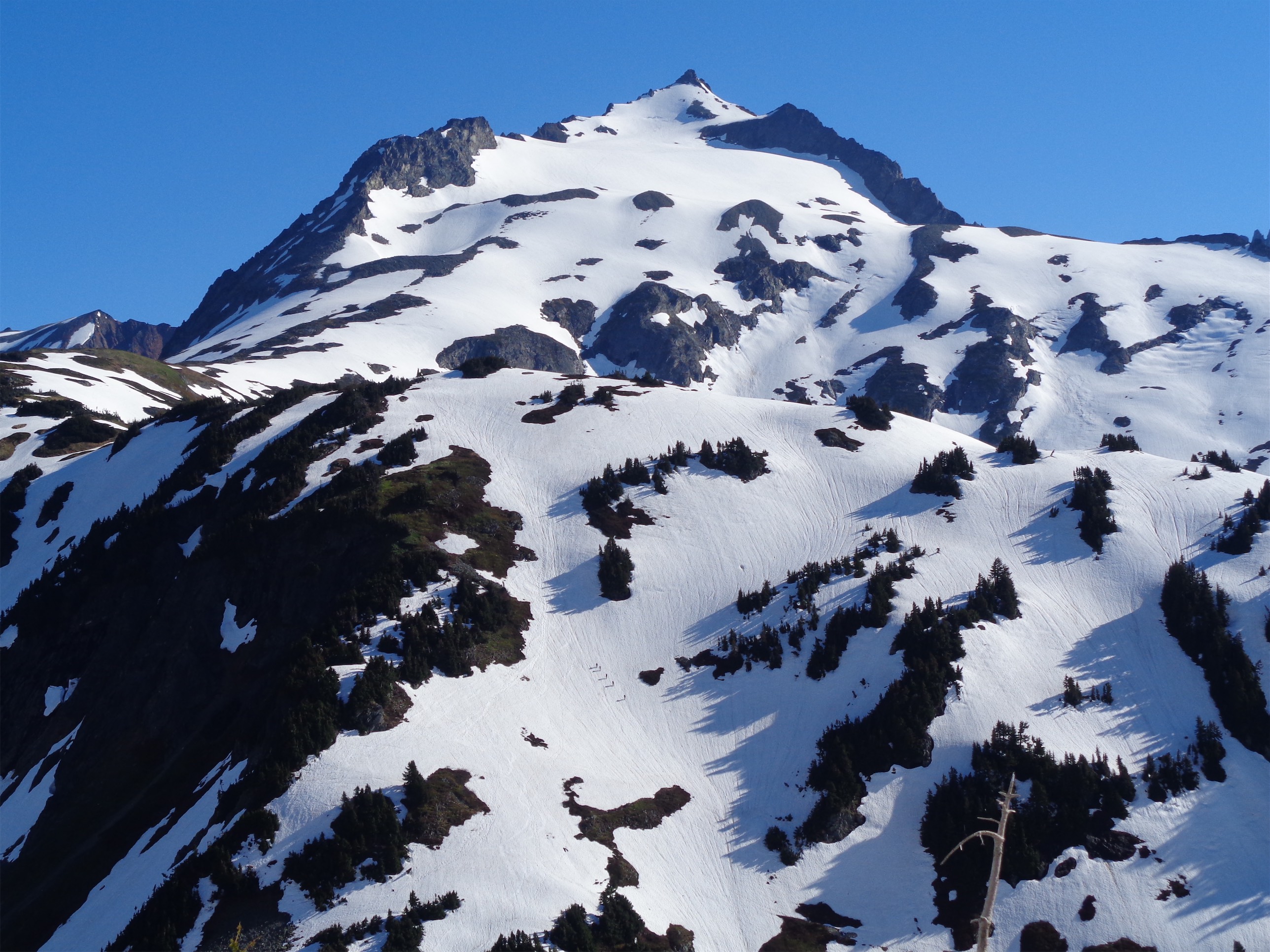
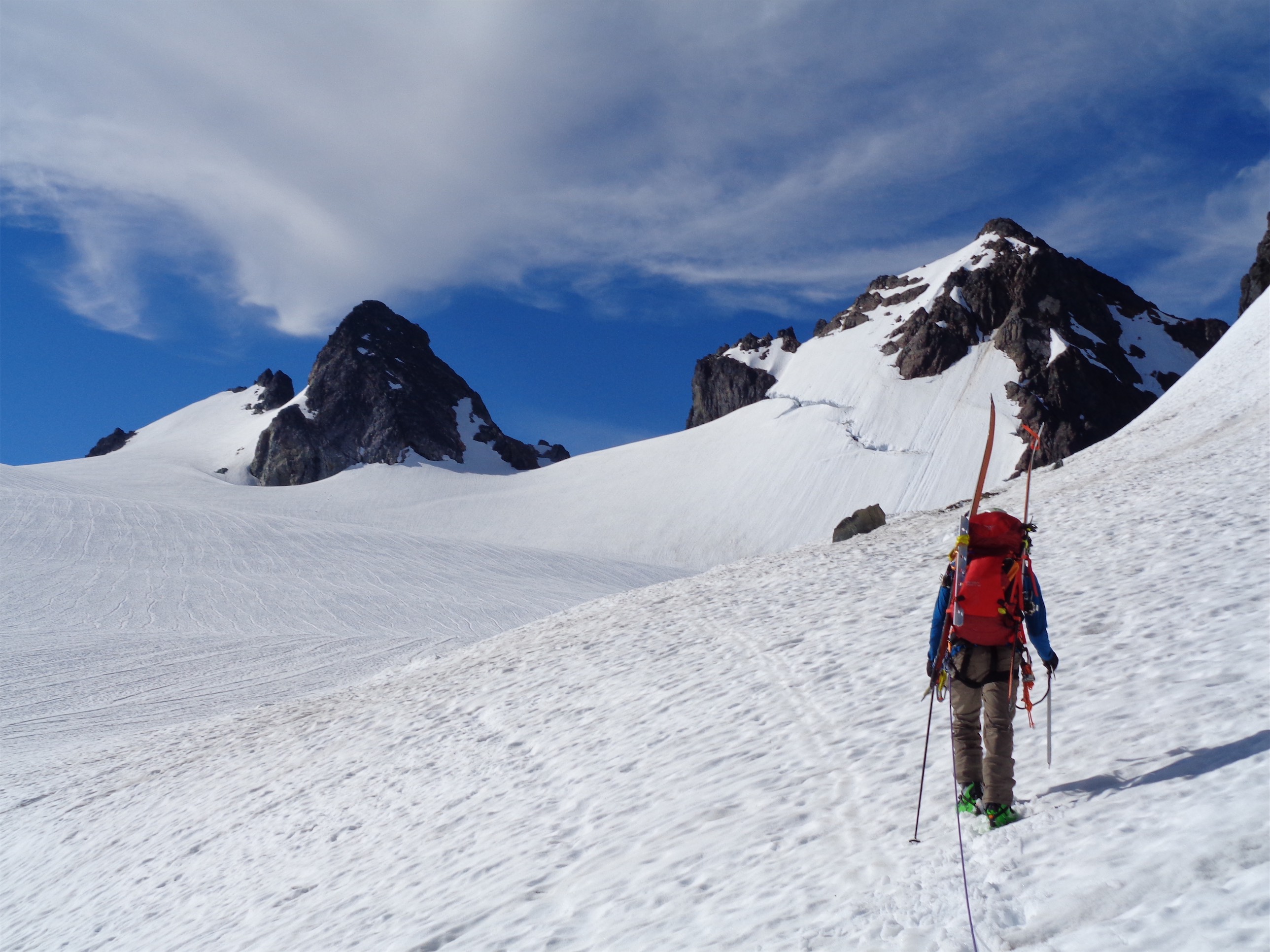
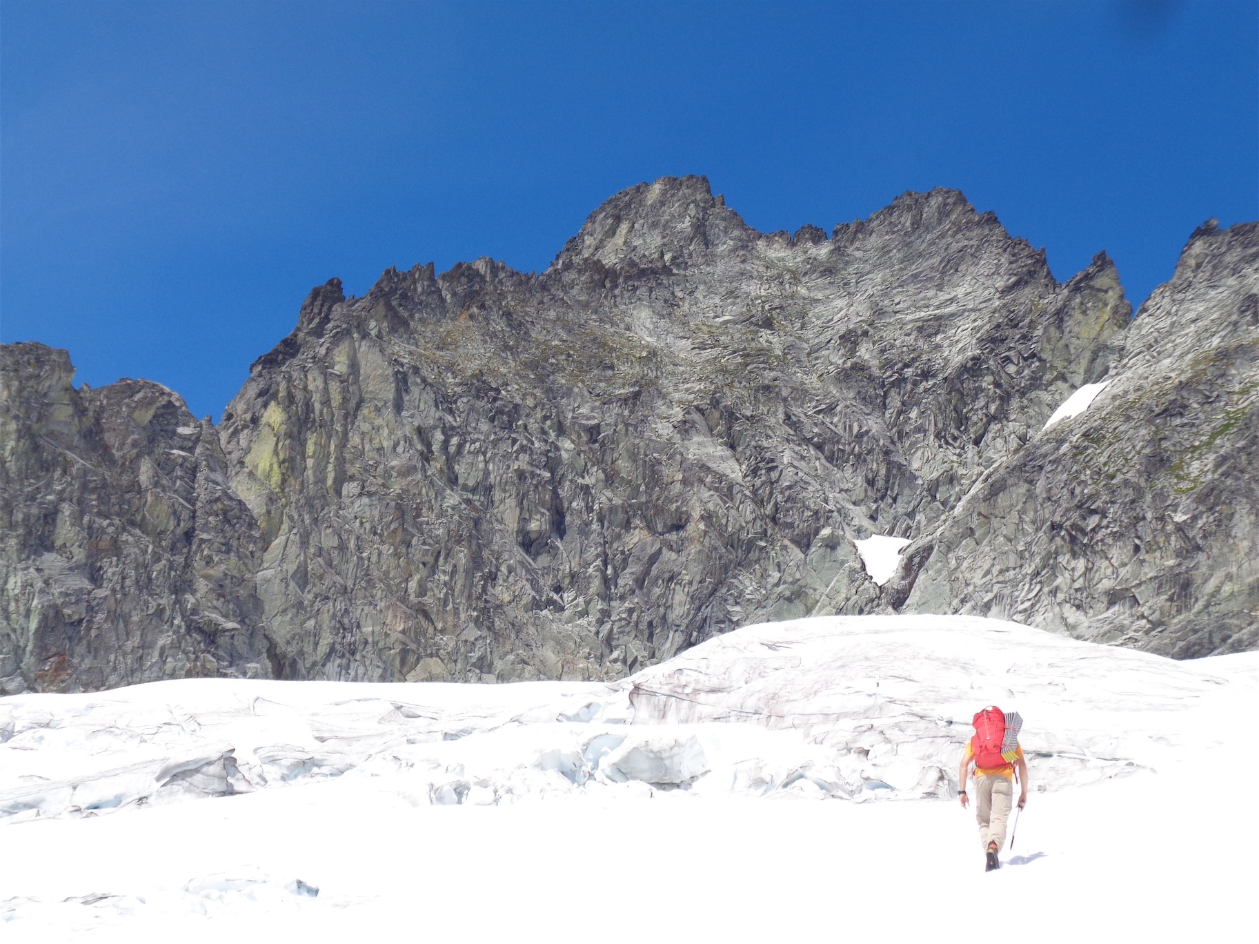
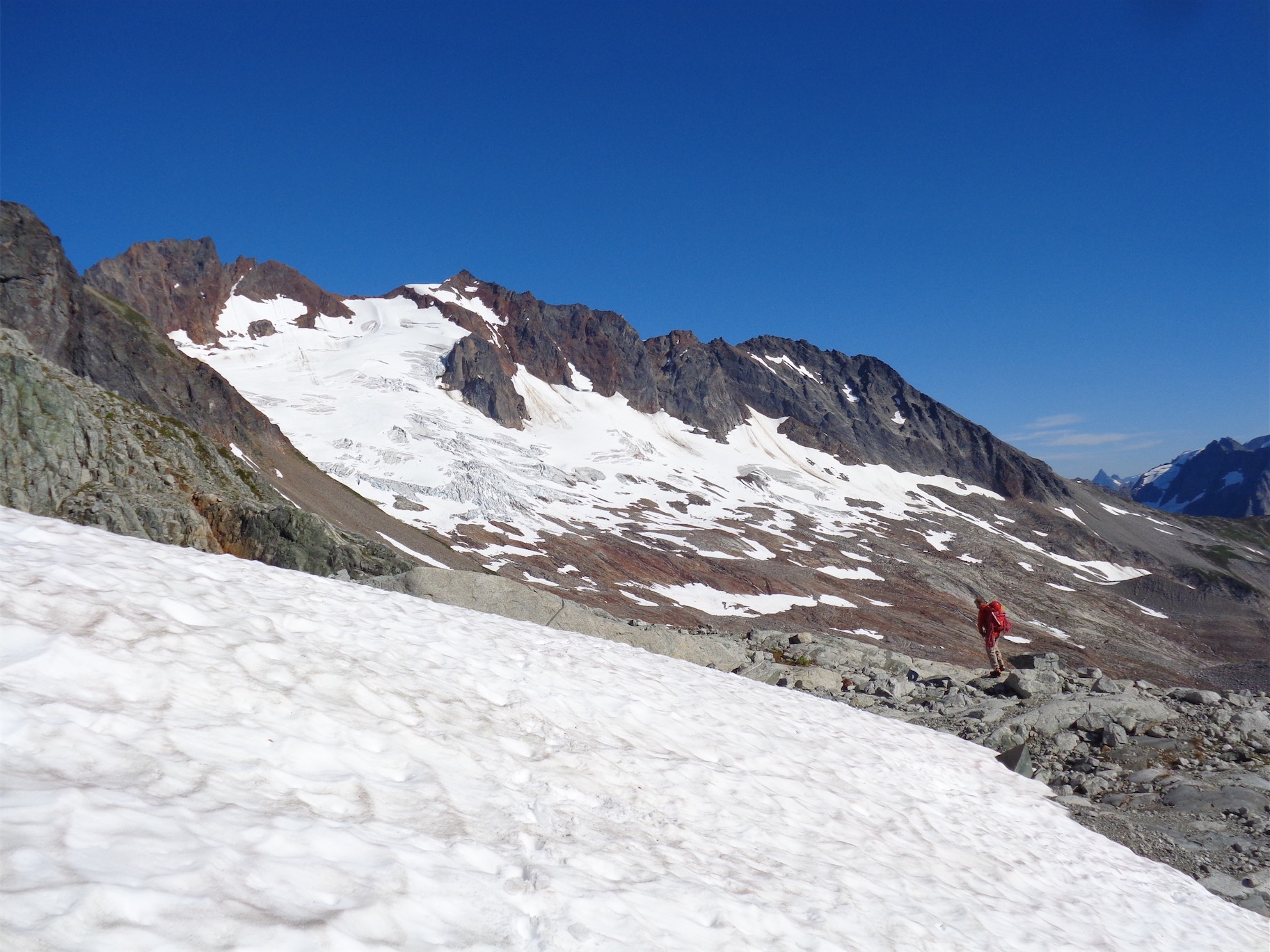
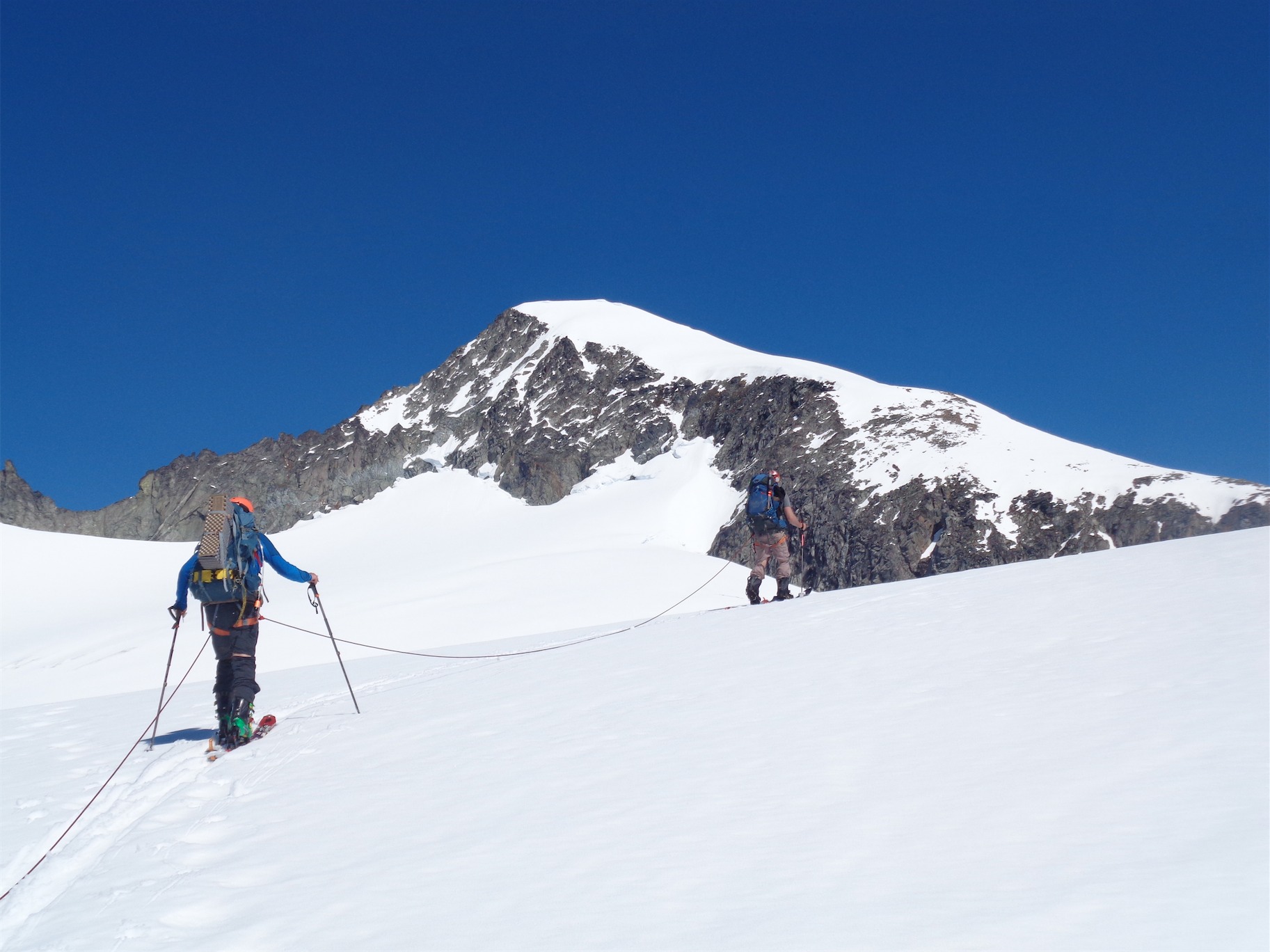
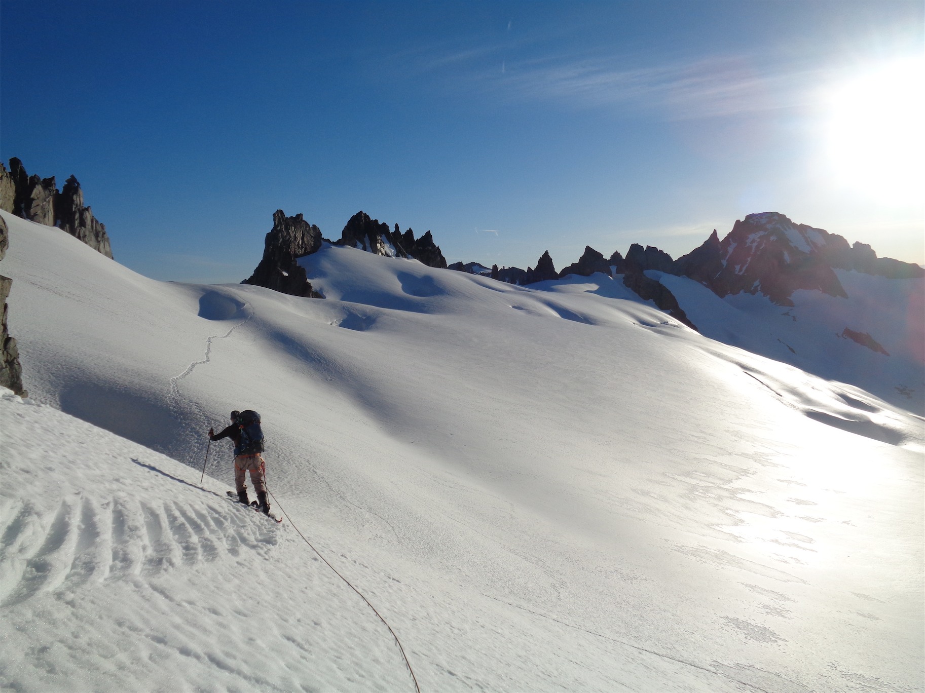
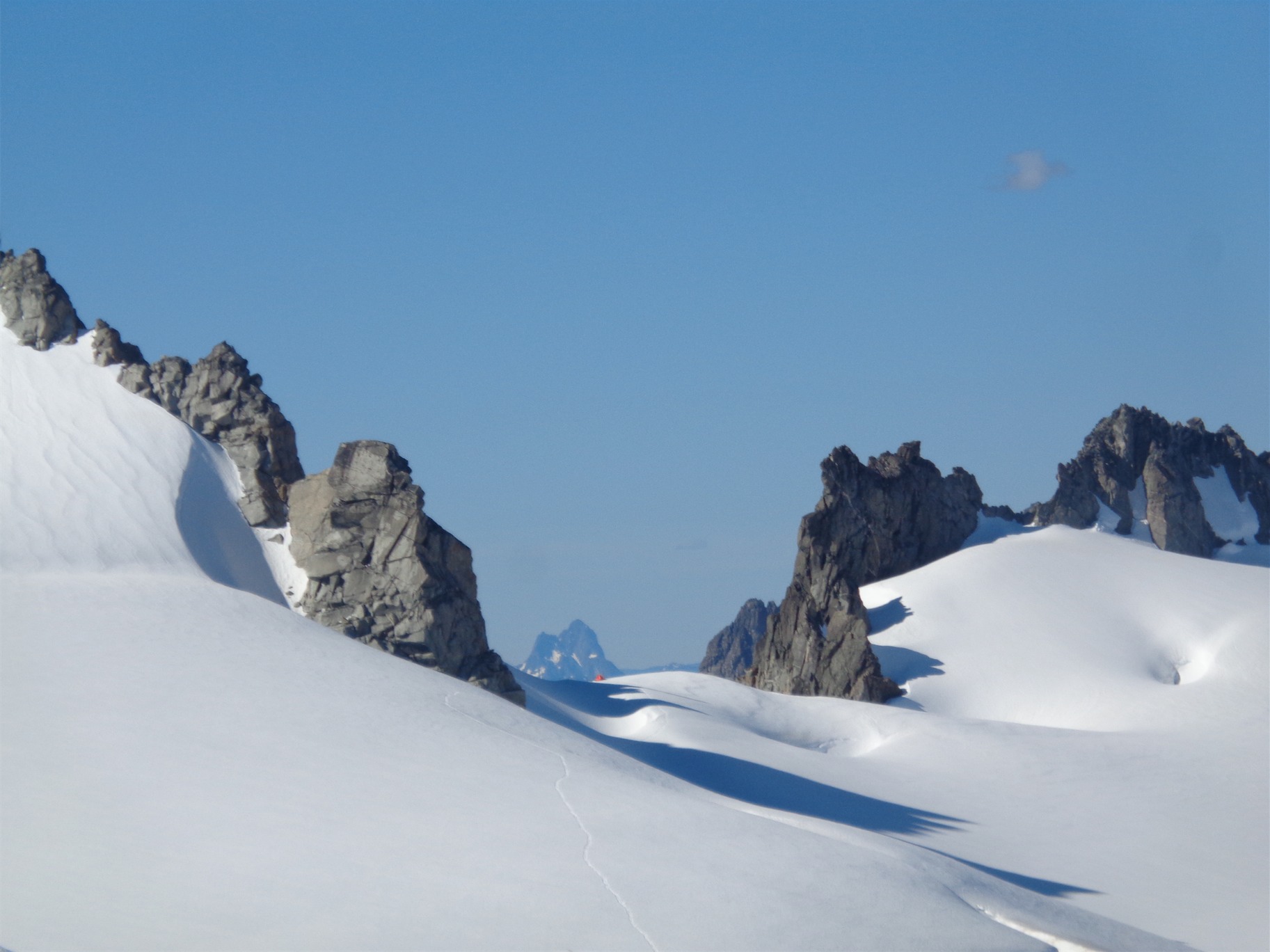
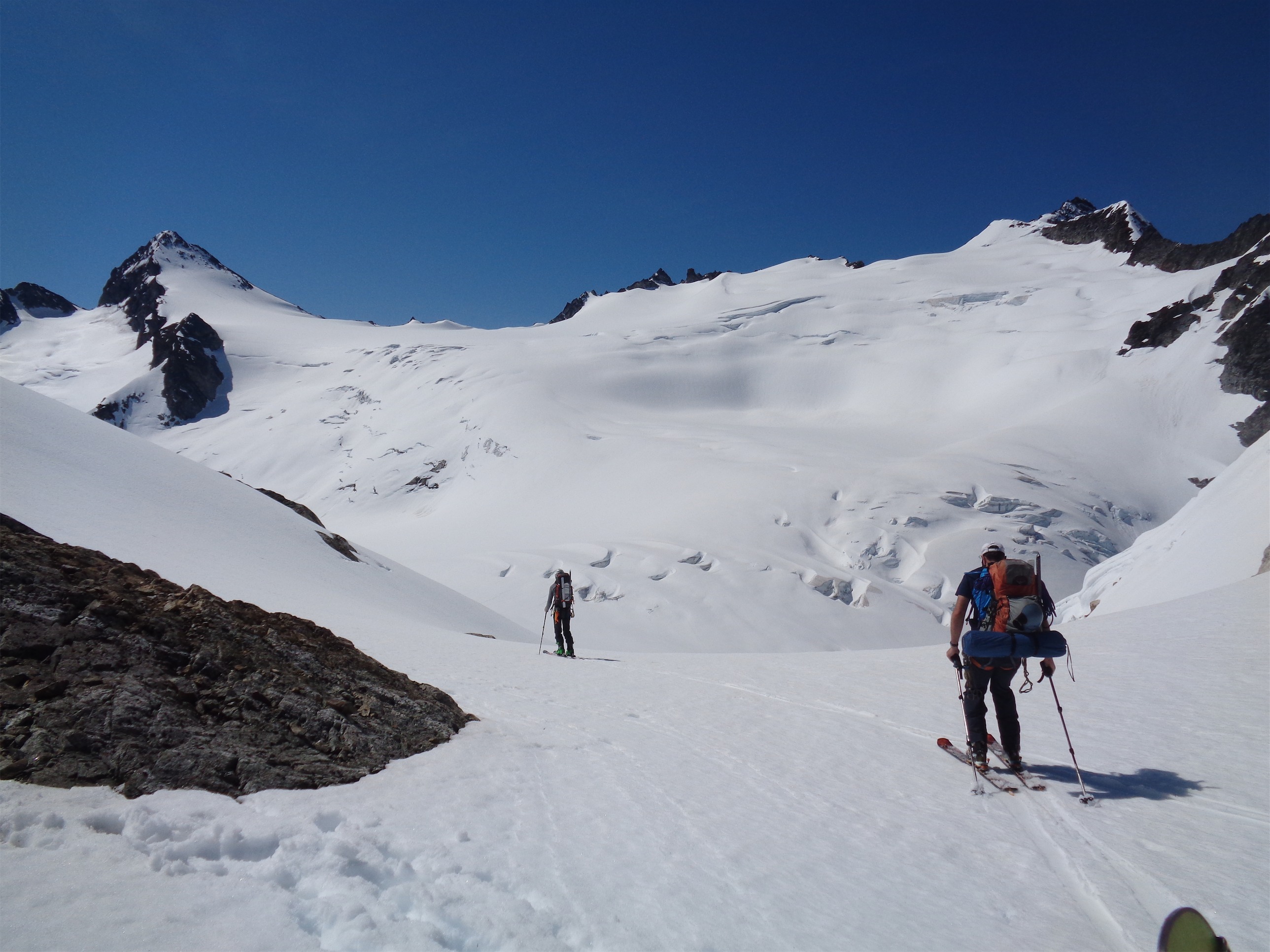
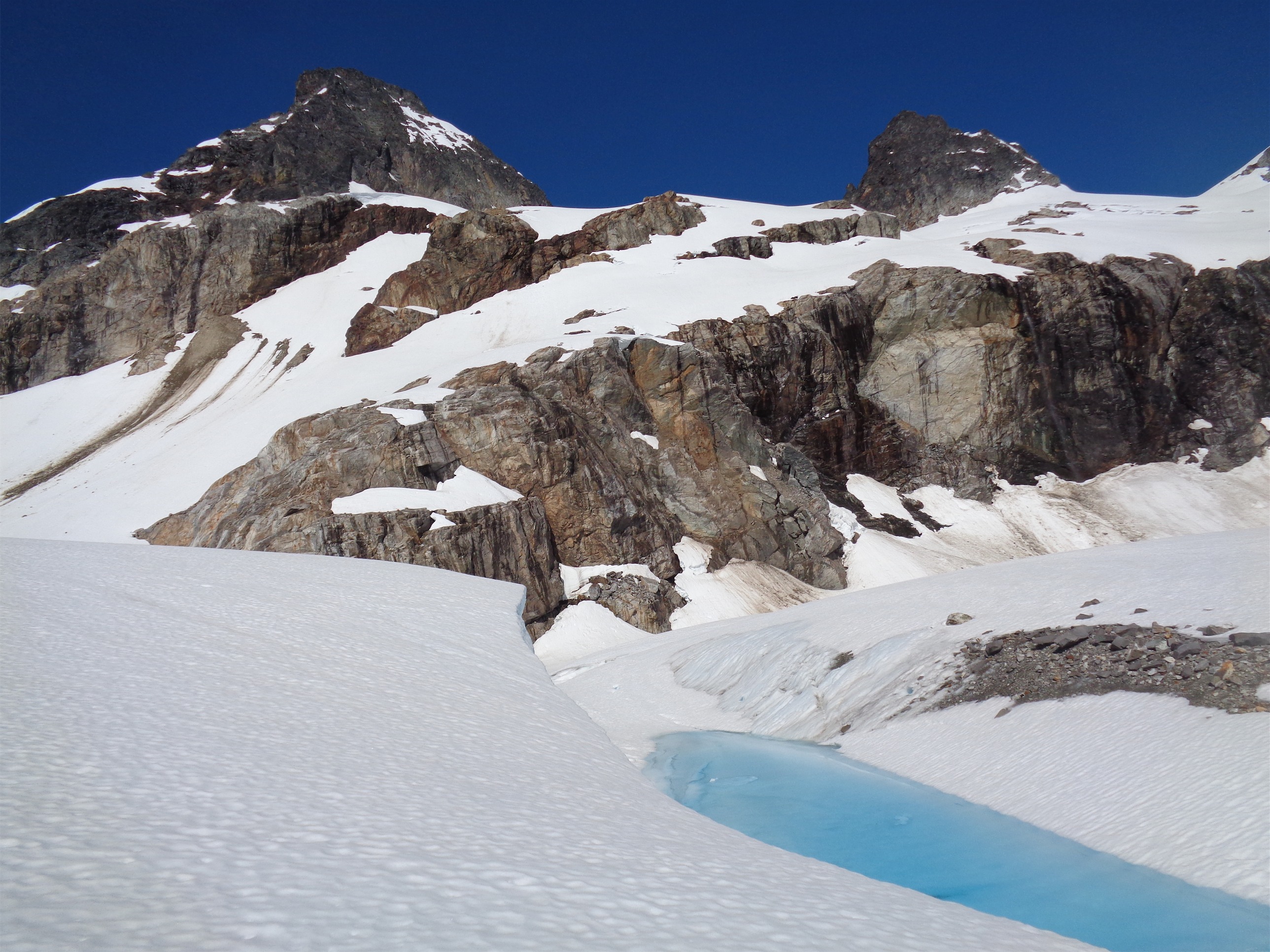
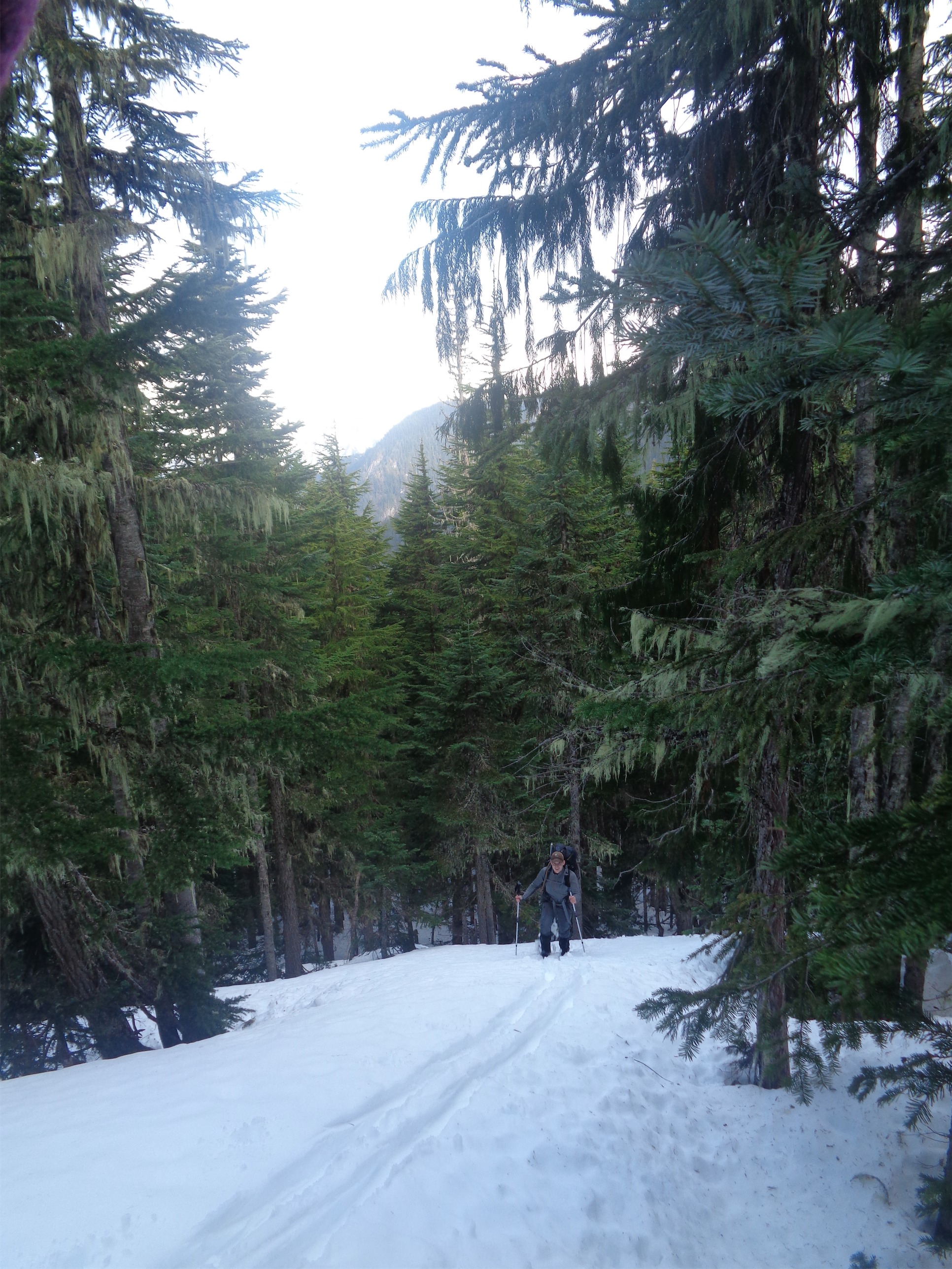
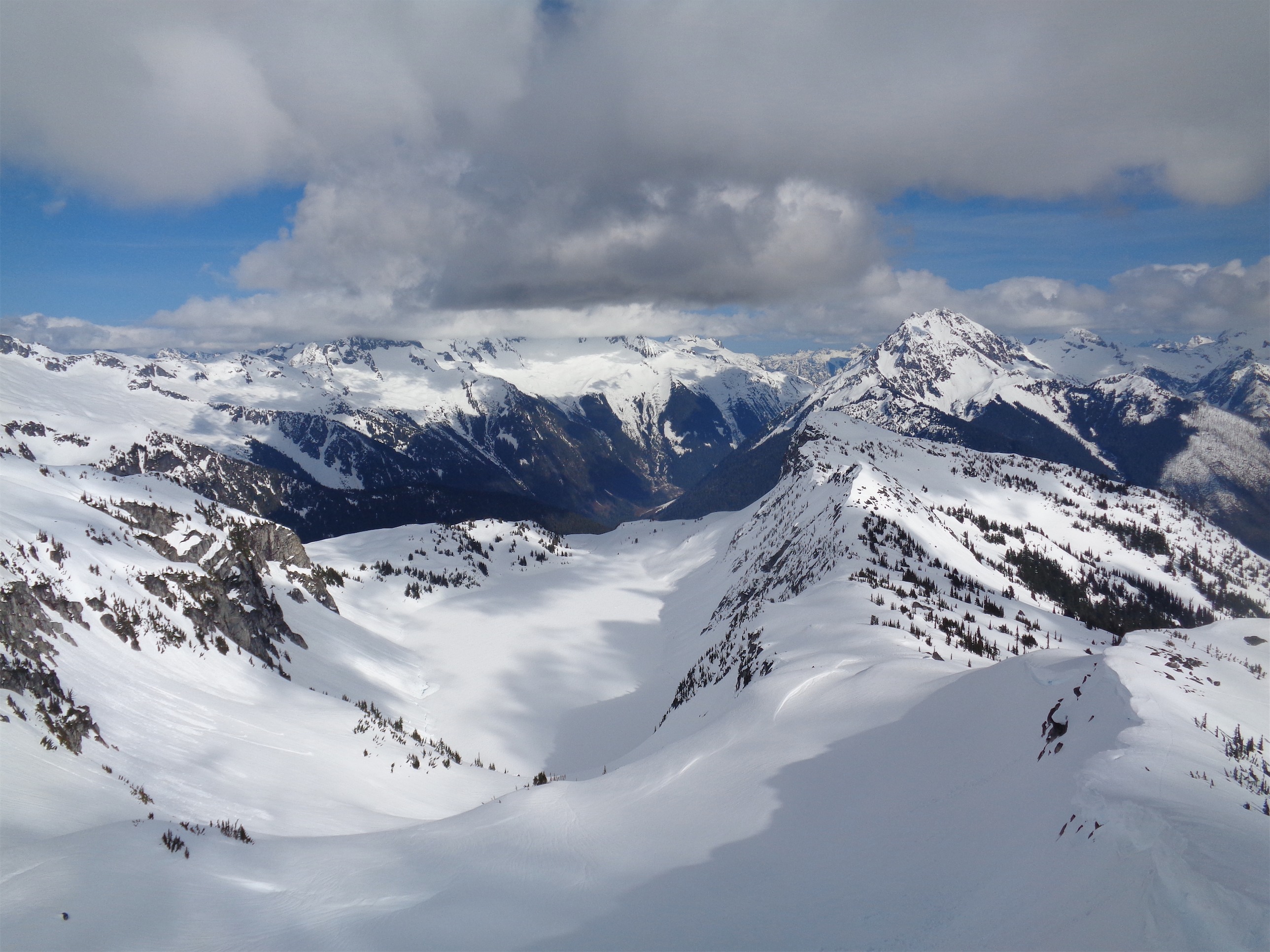
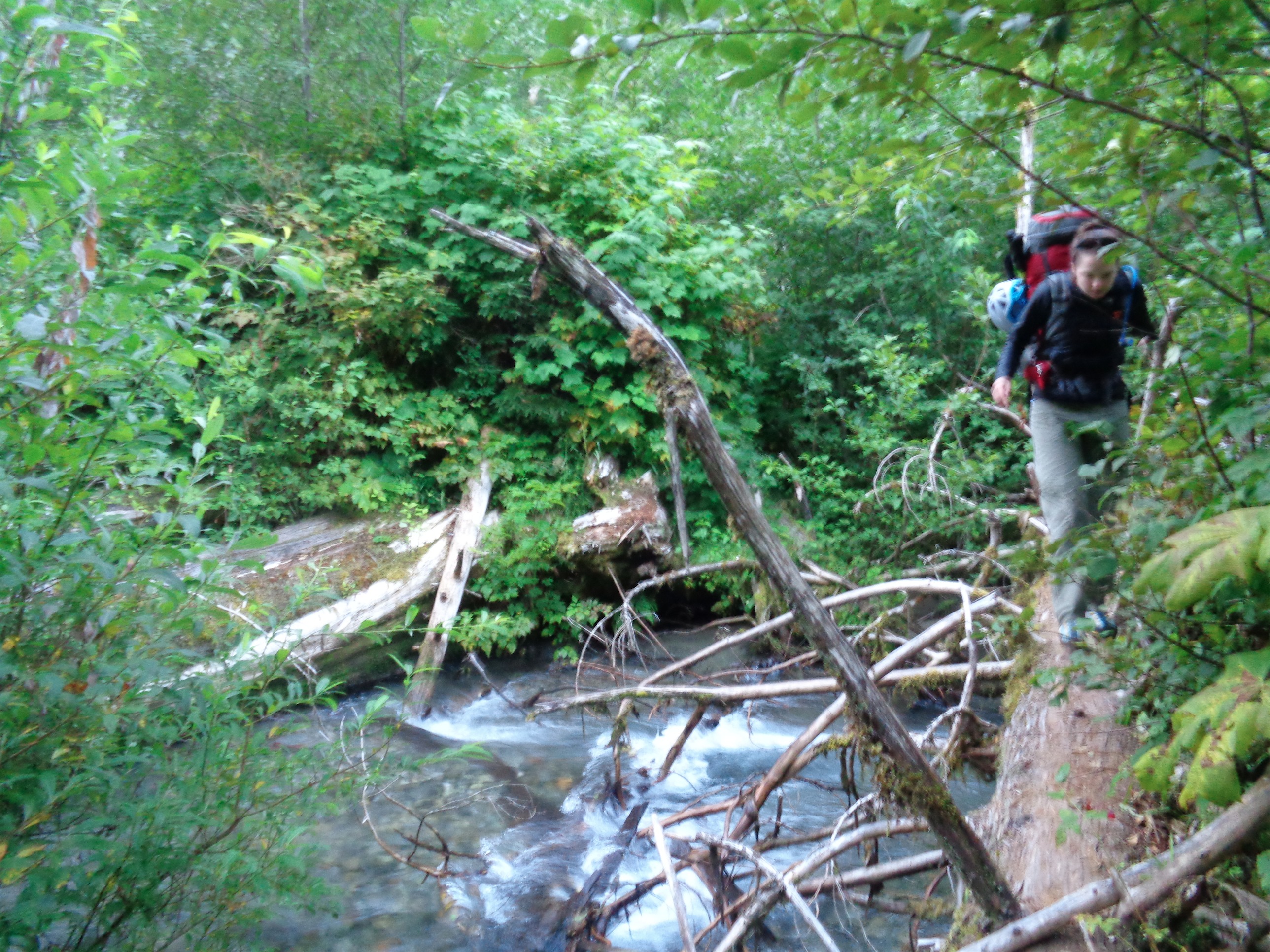
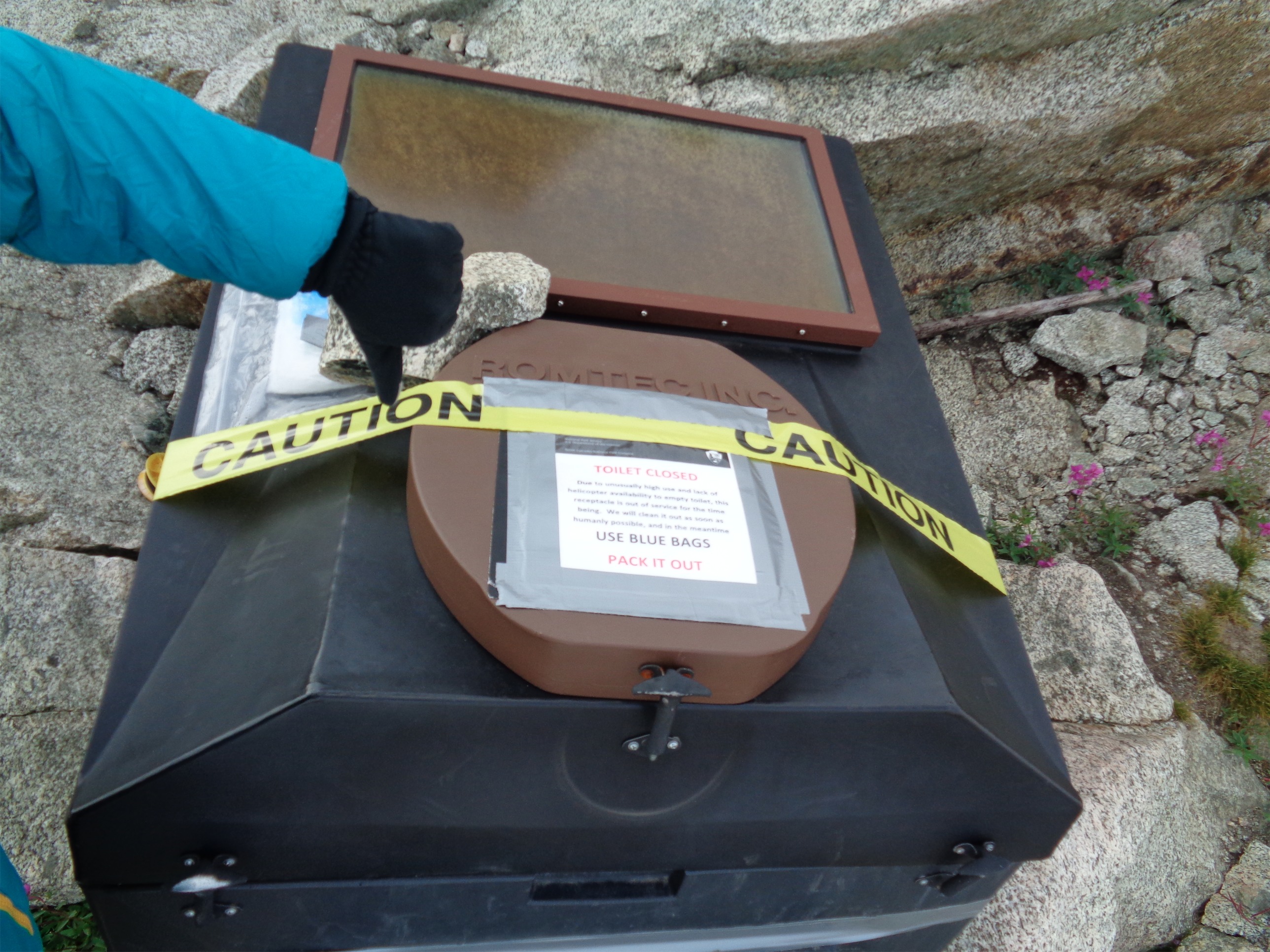
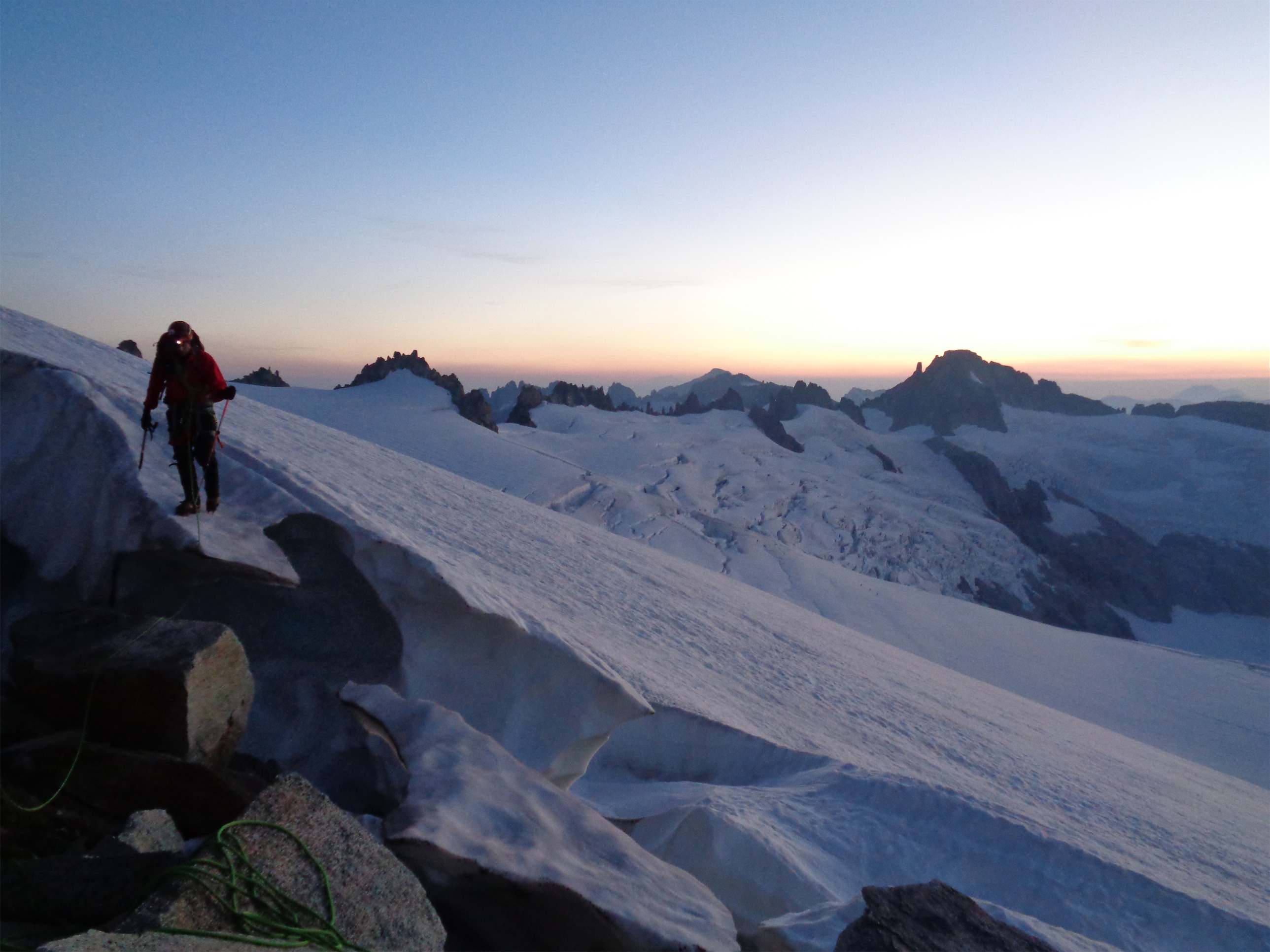
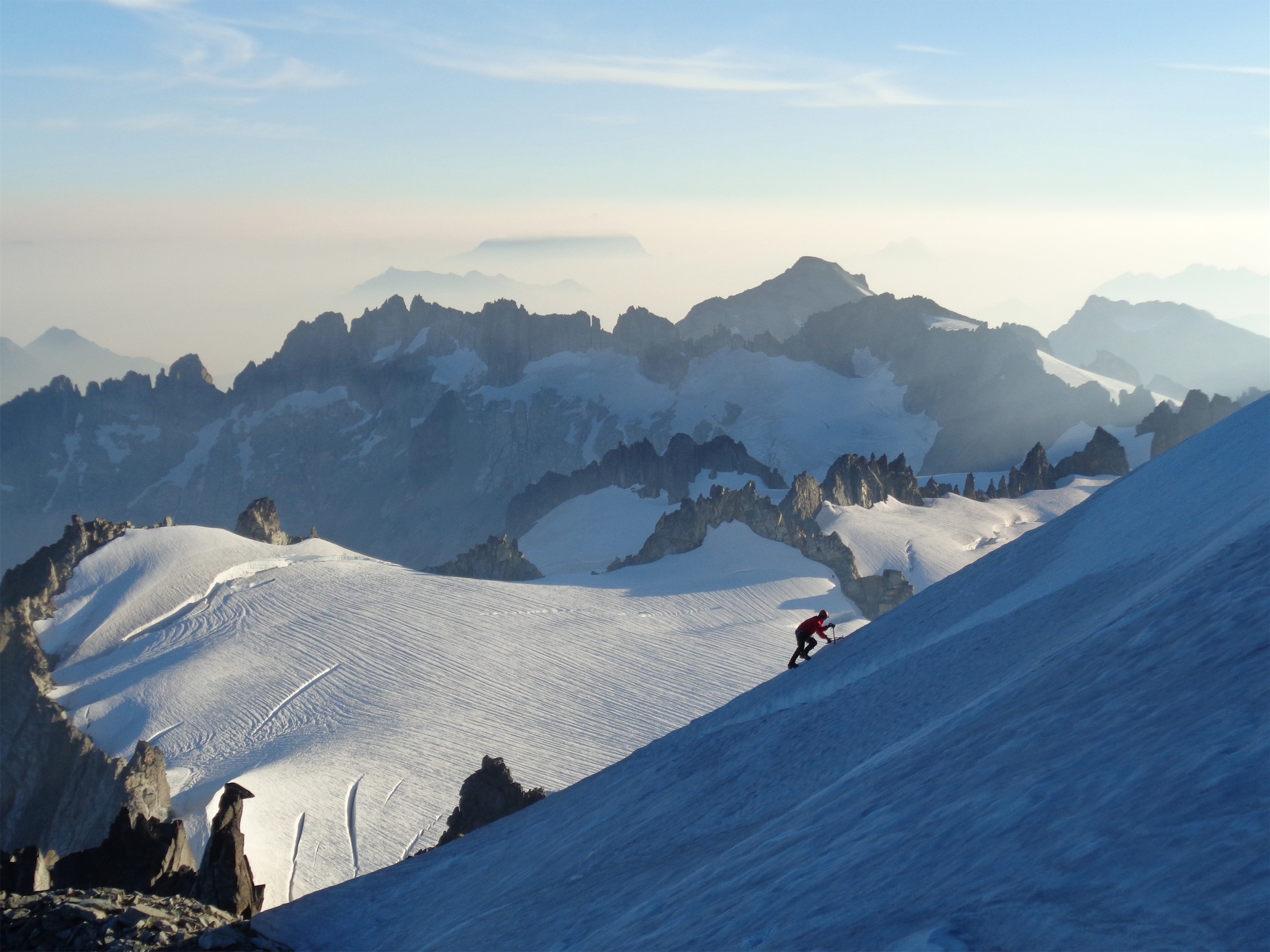
The basin was even more gorgeous this year, with wildflowers and trickling streams and sparkling glaciers. I honestly have no idea why more people don’t just do this as an overnight backpacking destination. I checked out the toilet, hoping I’d utilize it before I was in bluebagging territory, and stashed my walking stick with the rangers’ shovel. I expected more snow than last year, but the dry streak out here has nearly caught up to summer 2016 conditions. We restocked water at a stream running across slabs just below the glacier and trekked our way up to the notch left of Torment, not bothering to rope up as the glacier and snow bridges were still solid. We could see a team on the traverse above us, just by the ledge where I had bivvied last year. We made some nice crampon-on-rock moves to get across the small moat separating the glacier from the gulley, strapped crampons back on our packs, and scrambled up the gully to the notch where the rock climb begins. The gully is fourth class, arguably a fifth class move here and there. Time to remember how to climb, baby!
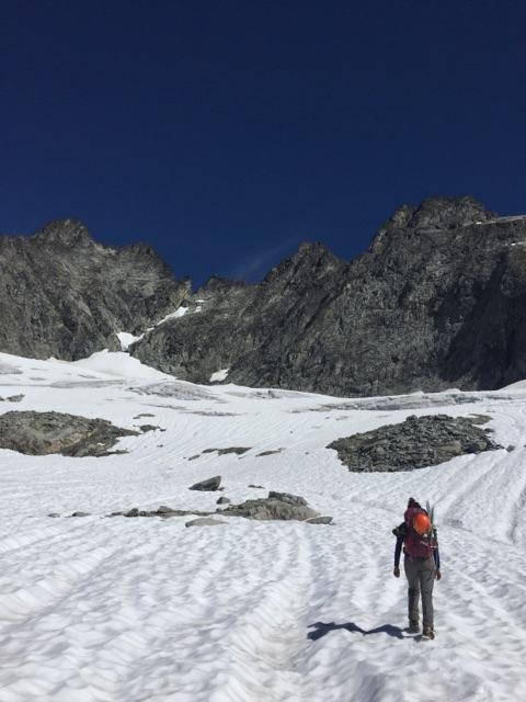
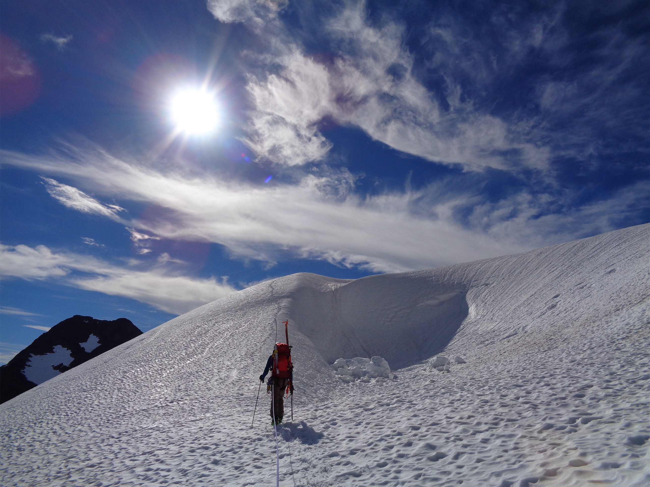
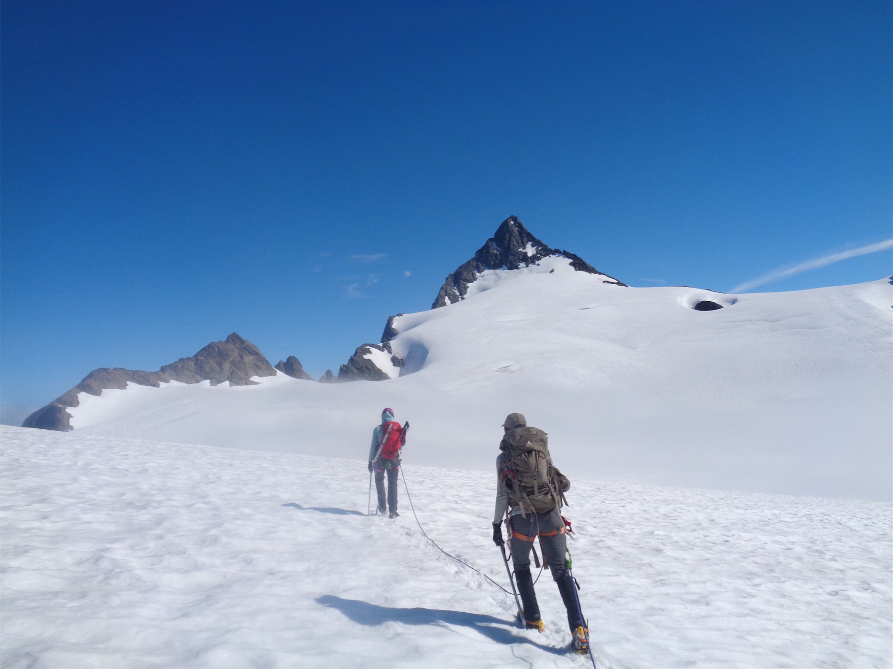
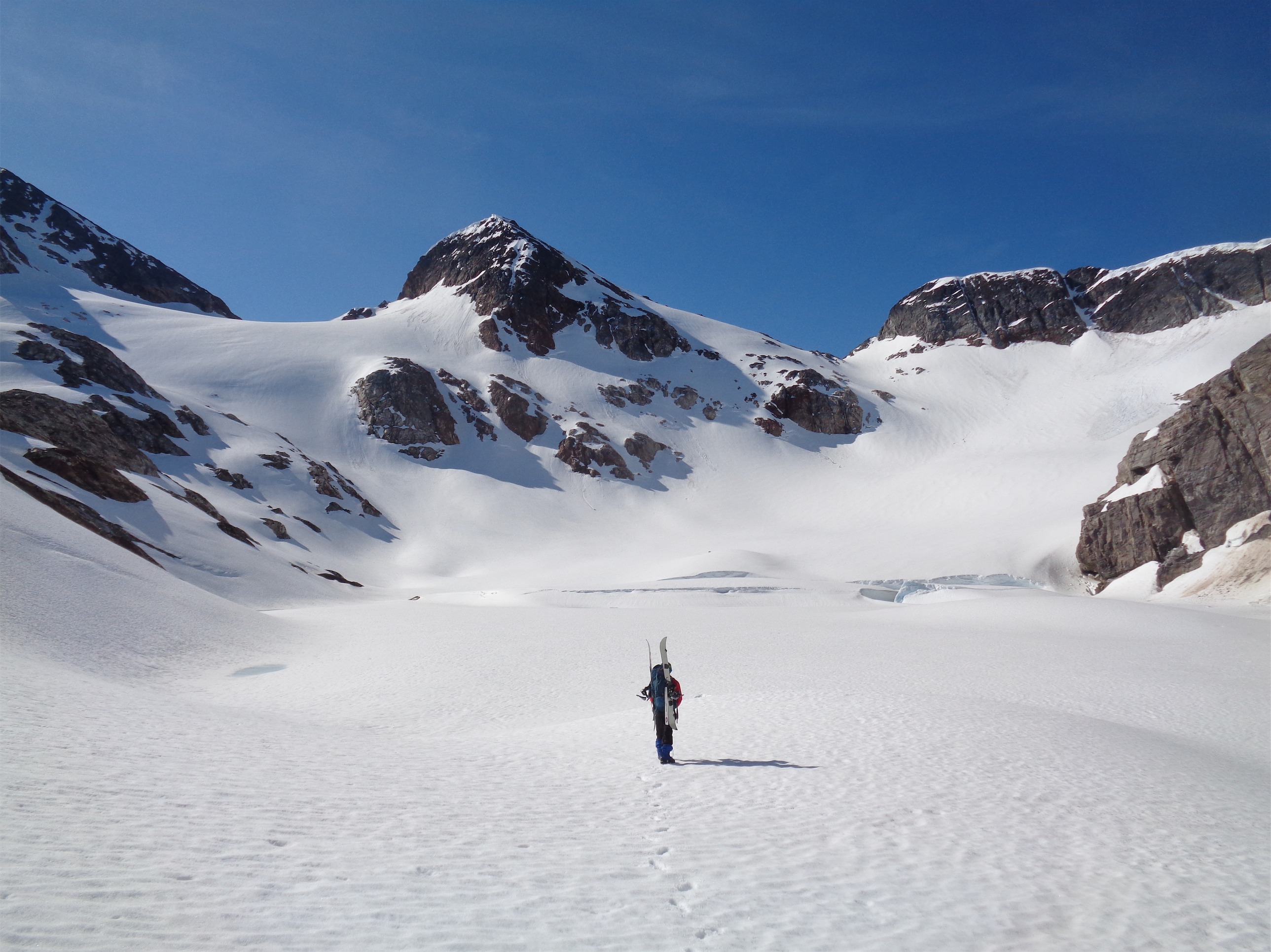
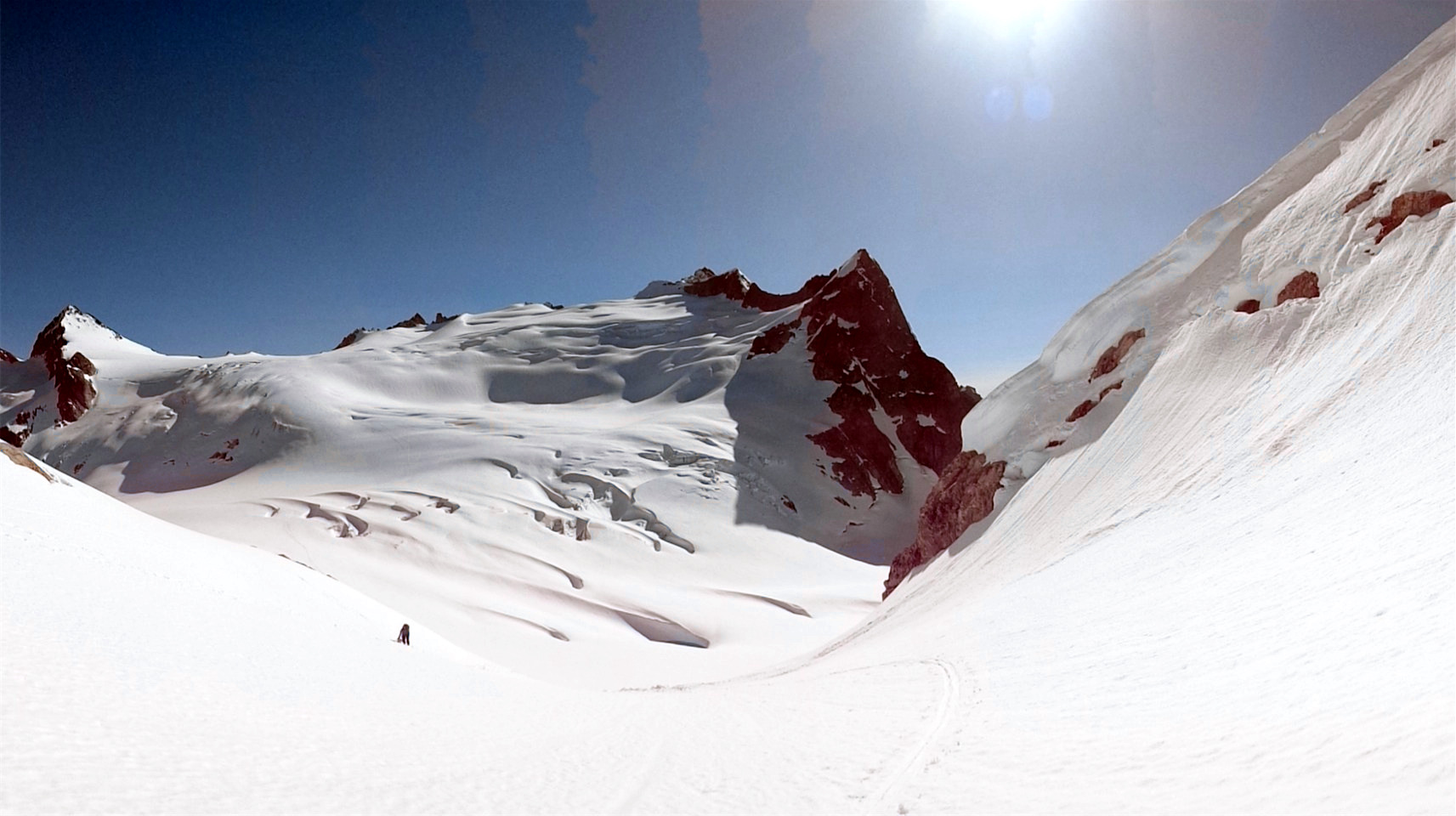
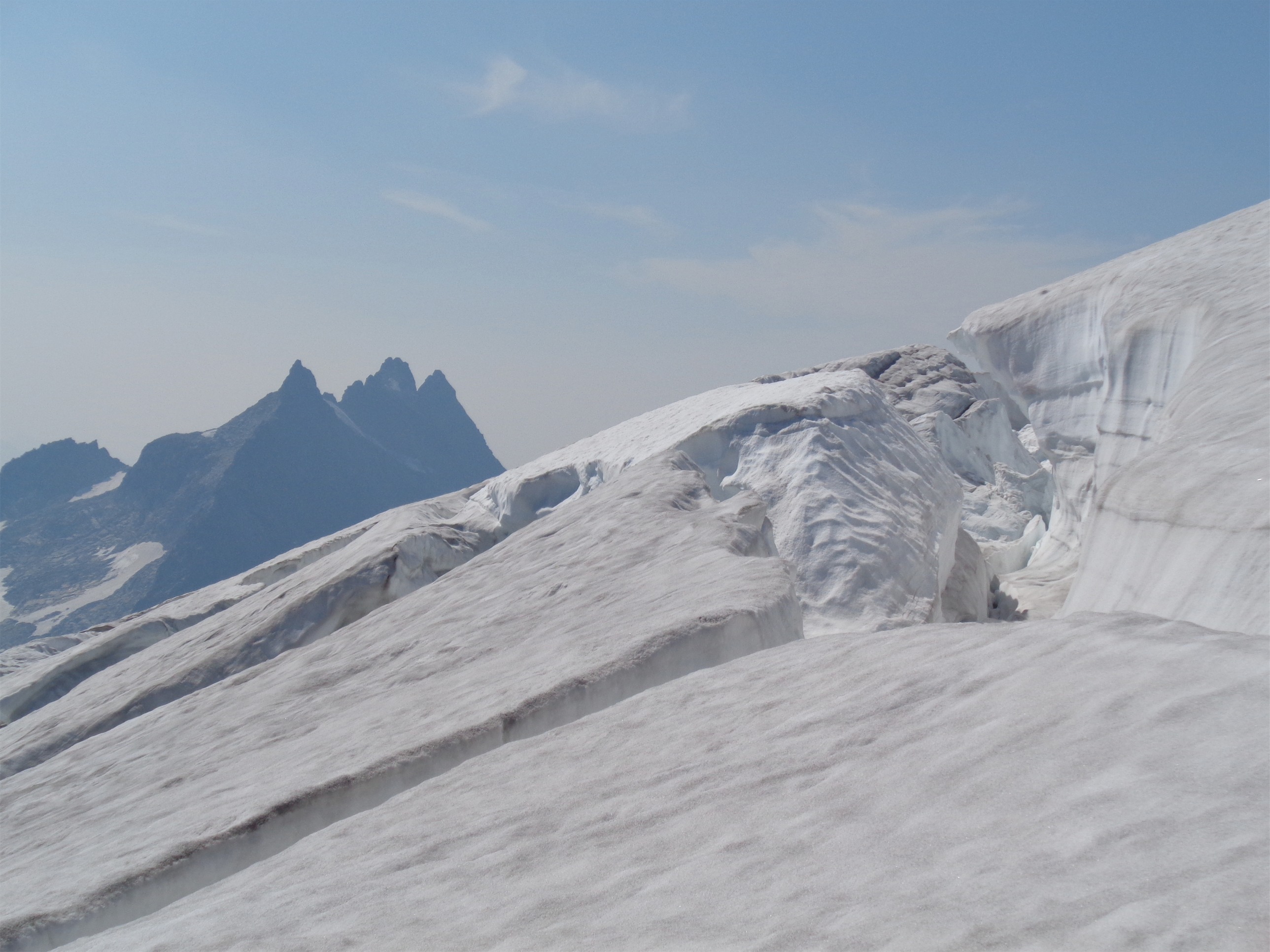
Crossing the glacier, Torment on the left (photo credit Calvin)
Oh no, wait, first I dropped my glacier glasses all the way down the gully and into the moat. I cursed and laughed. Hey Calvin… can you go get those? He was below me, and therefore closer to them, and I was definitely not downclimbing the moves I had just made if I didn’t have to. To be fair, not having glasses on something like this is basically a dealbreaker. So he dropped down under the moat, probably cursing my existence, and retrieved my sunglasses. Thanks buddy.

Cal retrieving my glasses
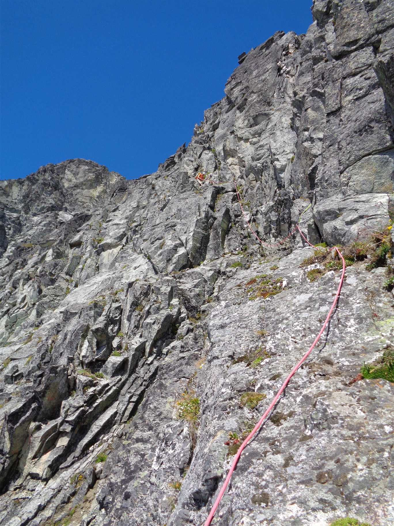
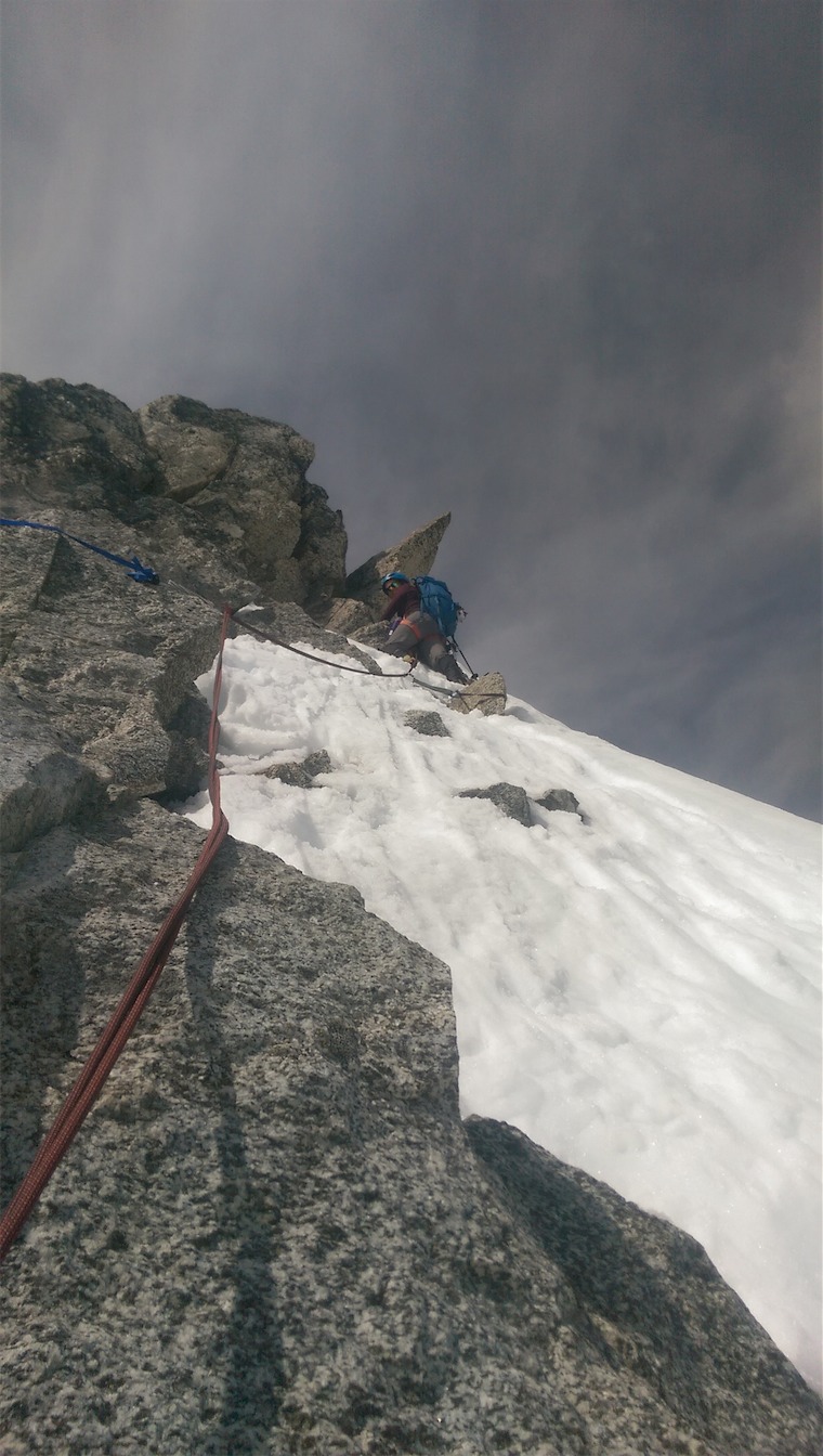
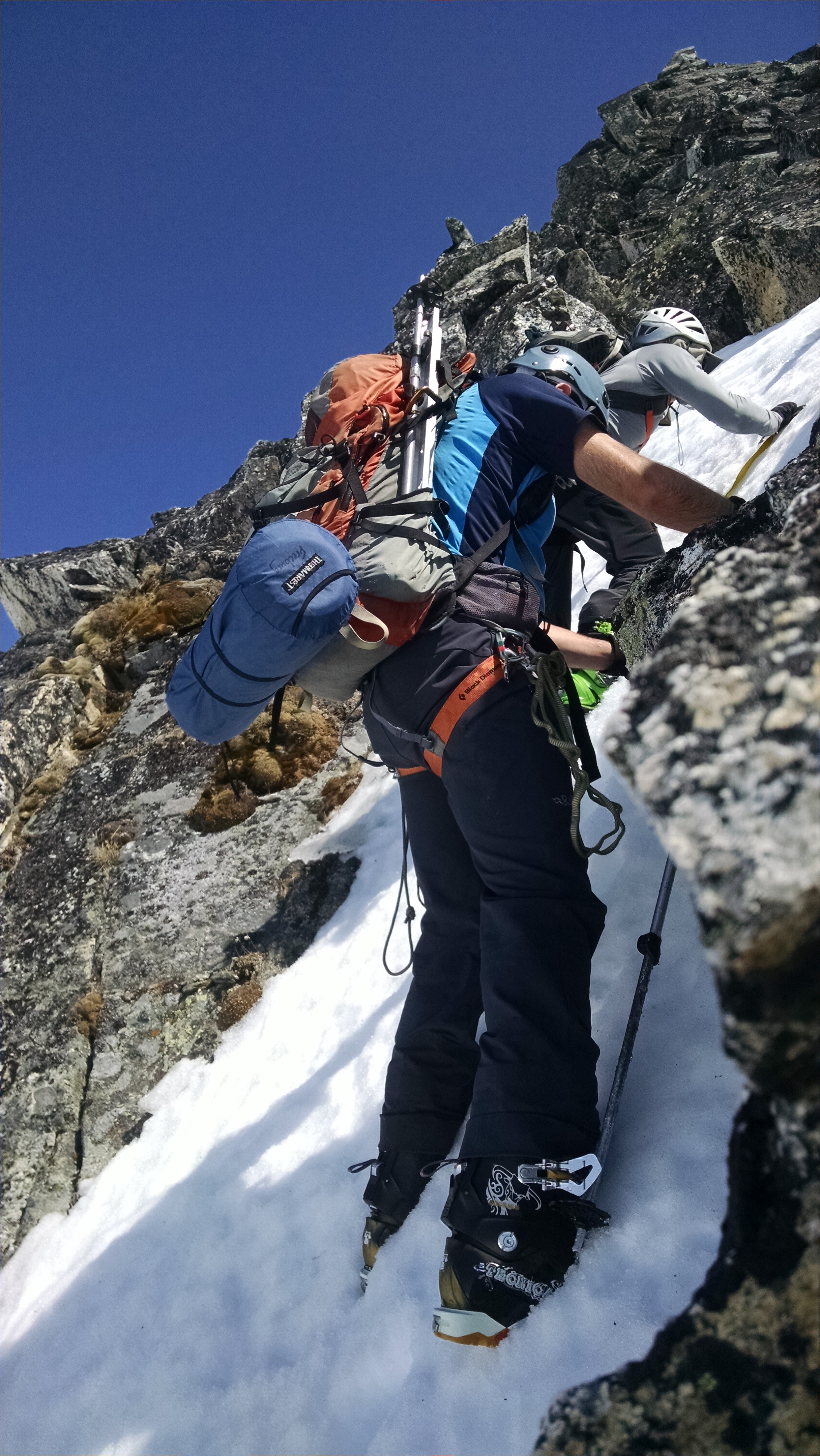
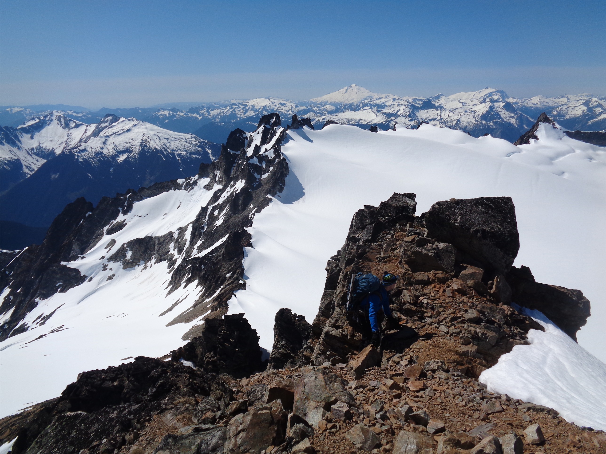
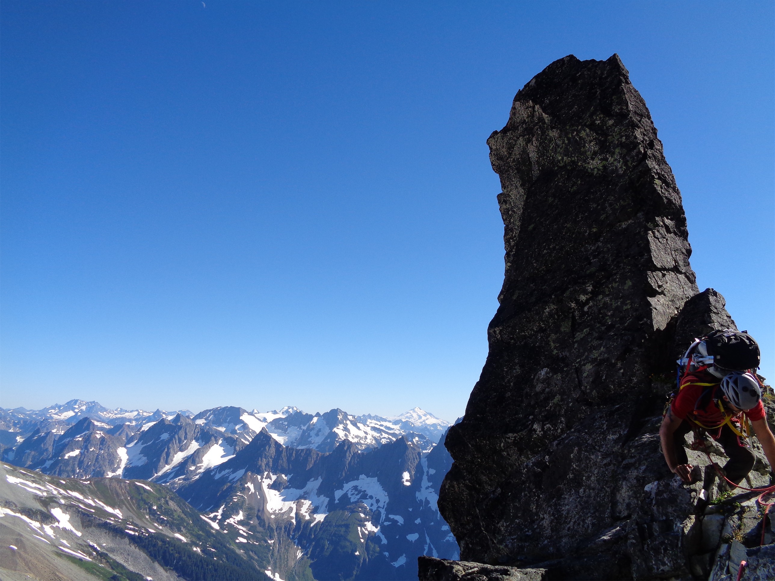
We were already set on me leading, for whatever reason. I was in my head about the first move, remembering it being the single hardest part of Torment. It was just as awkward as last year, but I muscled through it (who needs technique). We were off. I forgot that the hardest part of leading is freaking routefinding. I’d stare at two options, both of which would probably go, but is one better than the other? If I saw rap slings or belay station slings I’d aim for those, otherwise we’d trend up and left. My new shoes were killing my feet and we weren’t moving fast, Calvin kept catching up and then there’d be too much slack so I’d end up just belaying him up to me before re-starting simulclimbing. Might have been helpful to have him just toss a grigri on his end of the rope to pull his own slack through as he caught up. The only slack management we were really using was a microtrax at the top of legit pitches, a trick I learned last year. I squeezed up a left leaning crack and heard a series of “clink…clink, clink, clink, clink” behind me, and turned around to watch my can of spray sunscreen go tapping off each rock below, landing on the glacier a thousand or so feet below. Great, that’ll be there in 30 years when the glacier dies. SPF 30 banana boat can lying on a slab. I’m an asshole. I’ll send some young whipper snapper after it in a few decades.

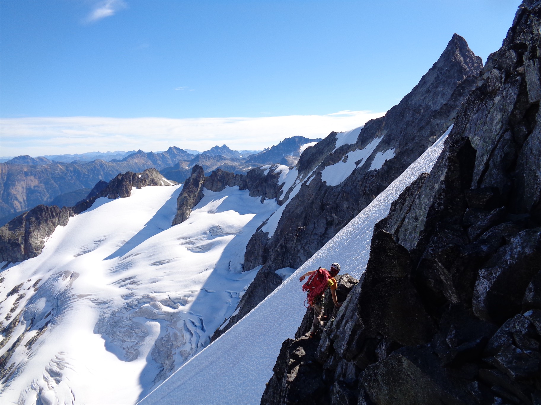
Over the crux right off the notch (photo credit Calvin)
As I started getting tired, route finding became trickier. Analysis paralysis was a problem. Instead of just making decisions I’d stare at two options for 2 minutes, for 5 minutes, wishing someone else was making the calls. I finally scrambled up through a a tunnel which I didn’t remember from last year and into a chimney with an overhung chockstone to contend with at the top. God dammit. Nothing was this hard last year. I set up a near-hanging belay at the bottom of the chimney and brought Calvin up. “I don’t like where I am, can you see if the route wraps left around the bottom of this instead of up it?” Calvin grunted through the tunnel unnecessarily and quickly found that you can drop down on some 4th class ledges to a bivvy platform. Unless this is a sidetrack for a bivvy, it’s gotta be the route. I downclimbed the chimney to a horn and brought up a bunch of slack on the rope so I could toss a loop around the horn and effectively fake-rap down to Calvin, who then belayed me across to the bivvy ledge. Fuck I need snacks and water and I can’t stand on my feet because my toes are crushed, we’re taking a break.

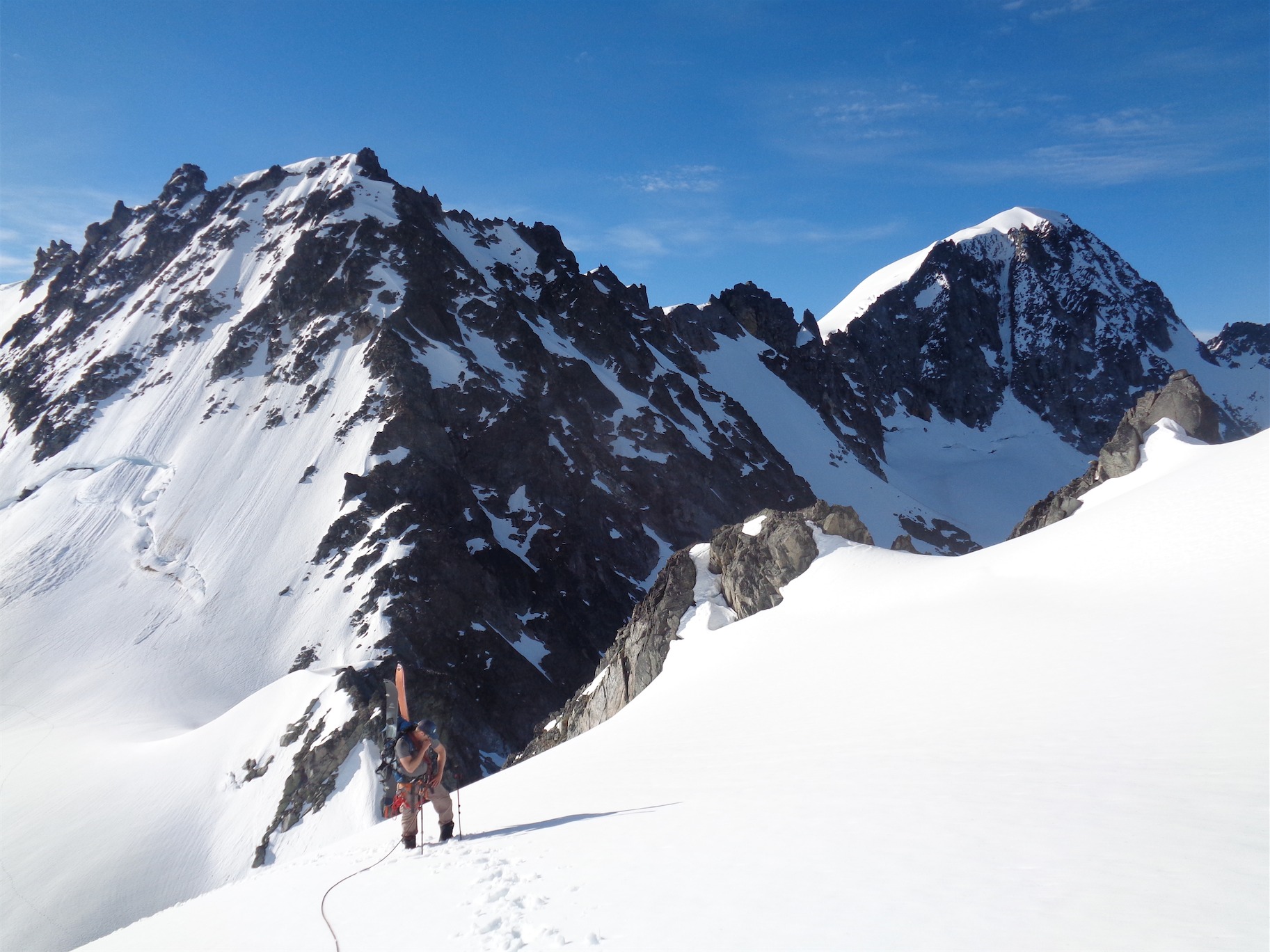
Calvin coming up with Johannesburg in the backdrop
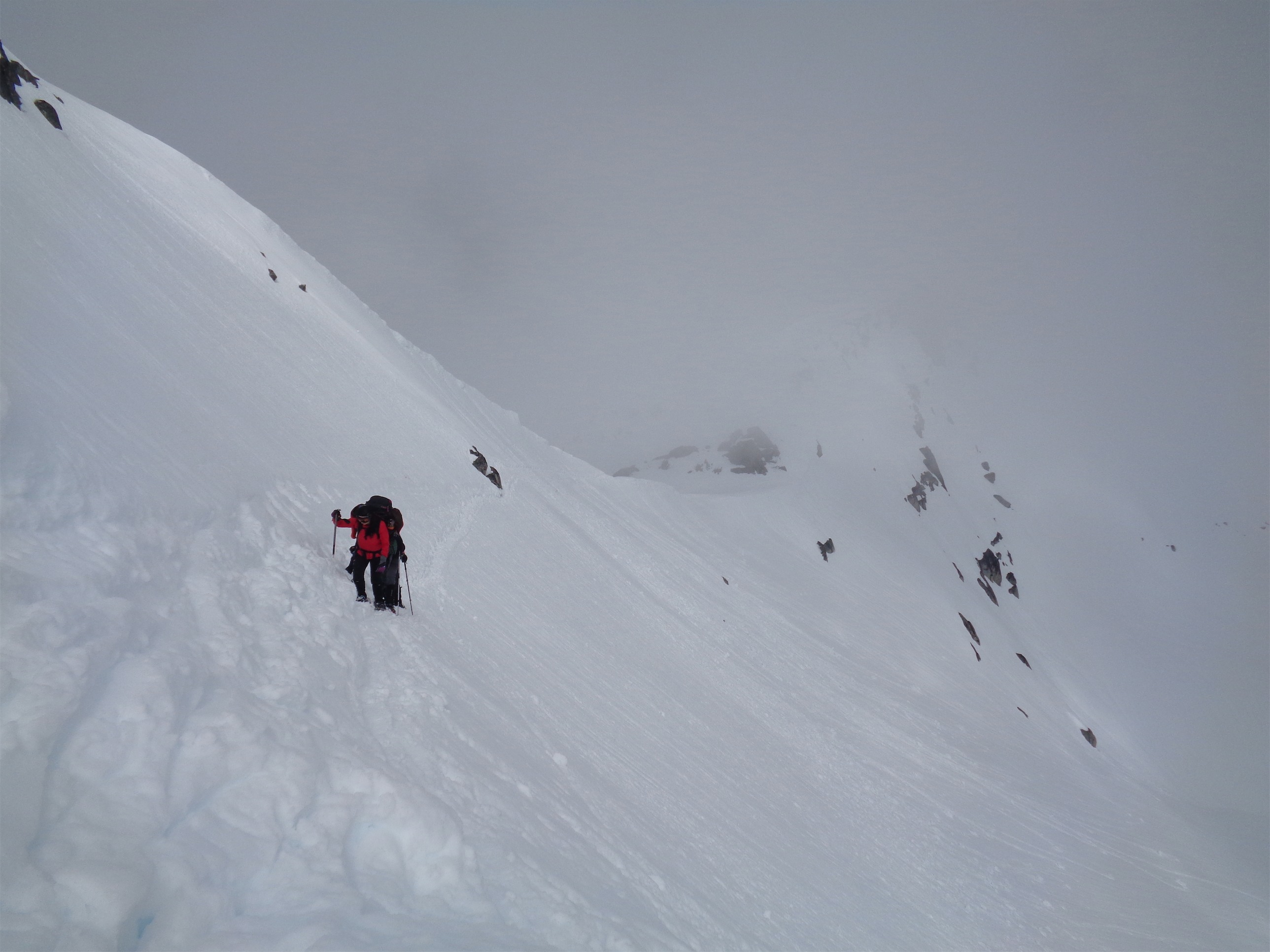
I dropped my pack and took off my shoes and had some almonds and water. Damn this would be a nice bivvy ledge if we had more water. I told Calvin maybe he should lead, we’d be going so much faster. He refused. Trying to give me the lead, dammit. He poked his head around the corner and it was another set of 4th class ledges to get down to the white gully I remembered from last year. And the gully itself is just a loose piece of shit scramble, so you dance up it trying not to destroy your partner’s helmet. We got to the notch and followed footprints (another mistake – whoever made those prints did not know where they were going) instead of dropping down to the nice grassy ledges that would take us to the summit. We reach the saddle between summits after excessive profanity, scarily loose rock, an abject lack of solid handholds and footholds and nowhere to place trustworthy pro. I found a great flake for a nut. Oh, the whole flake moves? Ahh! A great crack for a cam. Oh, a light tug makes the whole crack expand?! Ahh!! A great horn to sling with a runner. Oh, the whole horn tilts forward when I pull on it?! Fuck this shit!!! I hate everything!! There hasn’t been anywhere to sit besides the bivvy ledge for the past 4 hours and I swear last year we did this in like 3 hours and why are we so slow and how did I not notice how loose this was last year and I know all we have ahead us is rapping into a moat to climb out of followed by gnarly exposed 4th class traversing for literally days and you know what? I’m not having fun anymore. The expletives streaming up the ledges from Calvin below me confirmed he was on the same page. I brought him up to my hilariously shitty anchor (I threw in pieces, yes all of them moved, but at least I could sit sort of). Calvin had been in a nice position where all four points of contact were loose, and I’m sure he was thrilled to find out he was roped up with a grumpy chick sitting on a shitty downsloping ledge with an anchor that probably wouldn’t hold the weight of a duck.
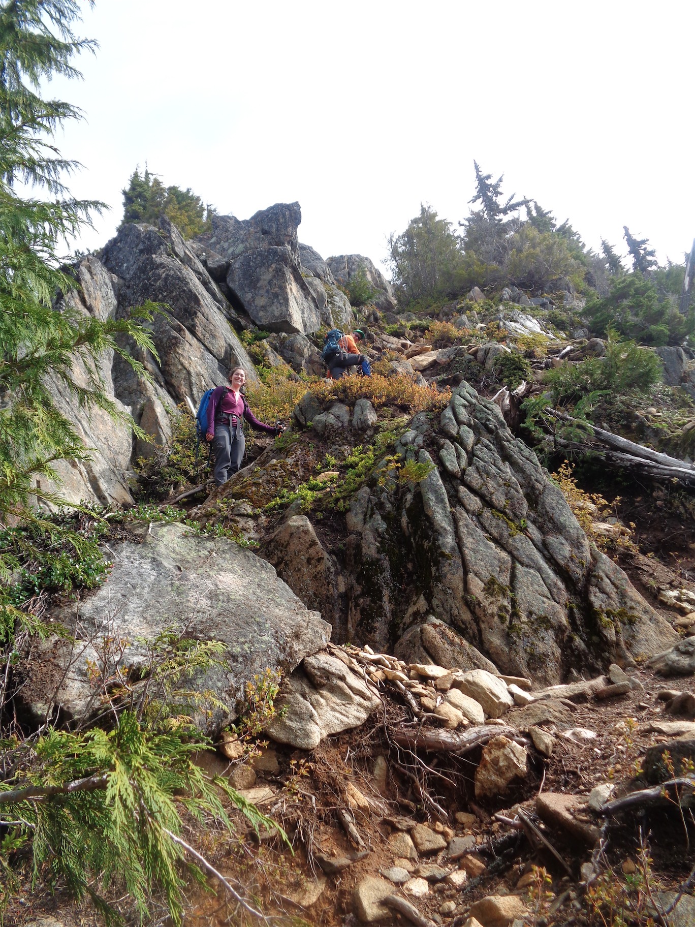
Calvin topping out at the top of the white gully
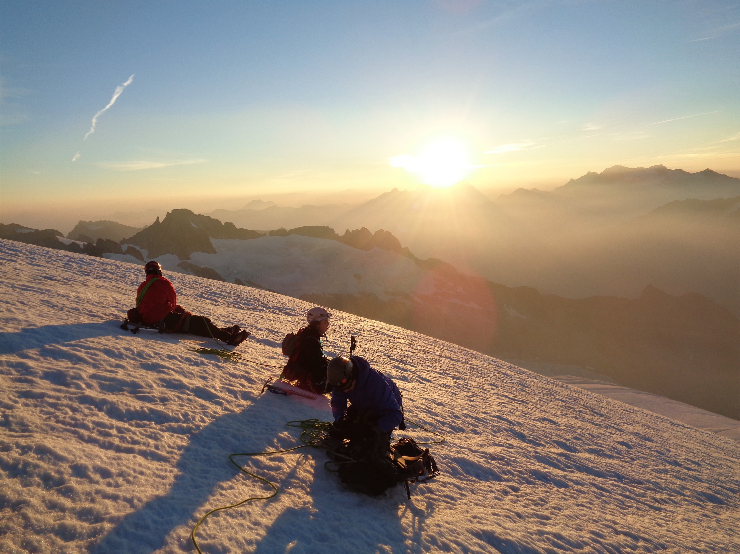
We agreed to bail. I think if we had mentally committed three days to the traverse maybe we’d have kept going, but we had only committed two, and we were both just not feeling it. Calvin had been in his head for the past few days, I had a downward spiral over the past two hours and was basically hobbling (it’d be limping if it was one foot being problematic, but it was both), the remainder of the climb was no joke, and I wanted to be down. Calvin had promised Tricia that if anything felt off we’d bail, and here we were both pissed and stressed. Who cares. I’ve already done it, it’ll be there next year, I felt bad not bringing our memorial wildflowers for Sue (who had passed on the TFT a week prior) but they were already crushed. I remembered Torment being the easiest part of the traverse last year, and didn’t want to commit the next two days to a similar or higher stress level.
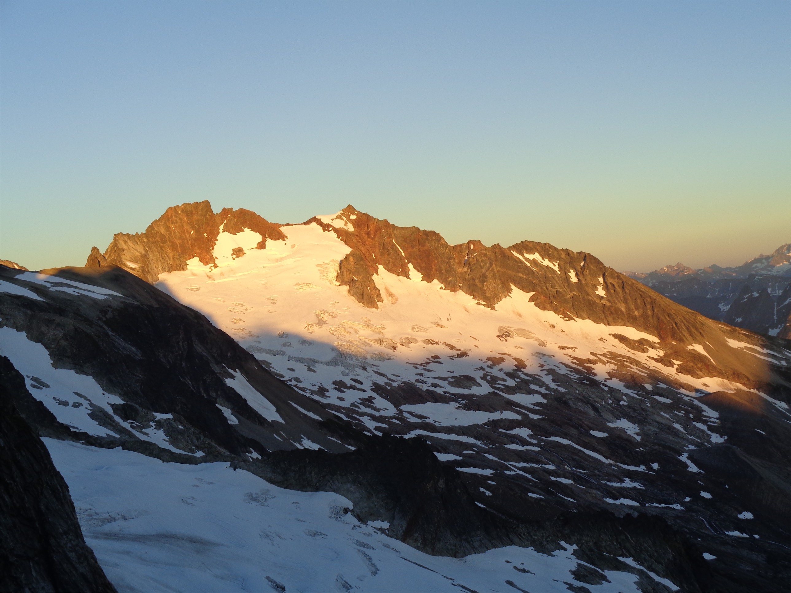
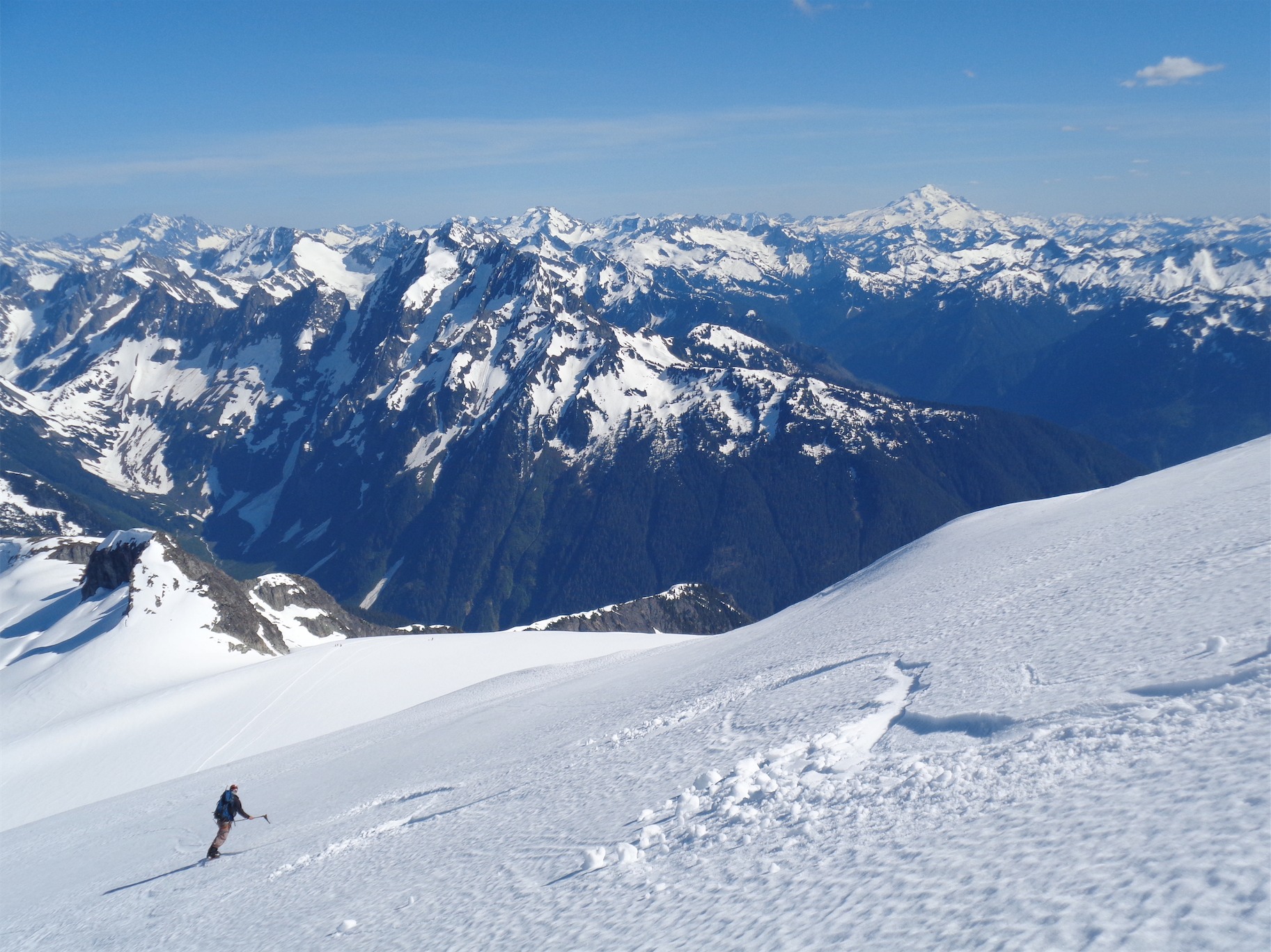
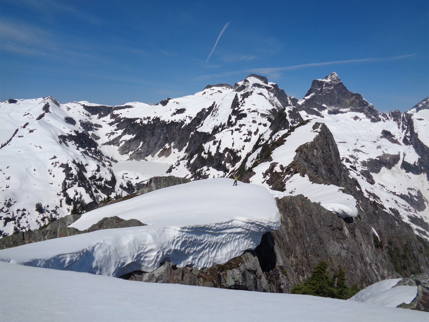
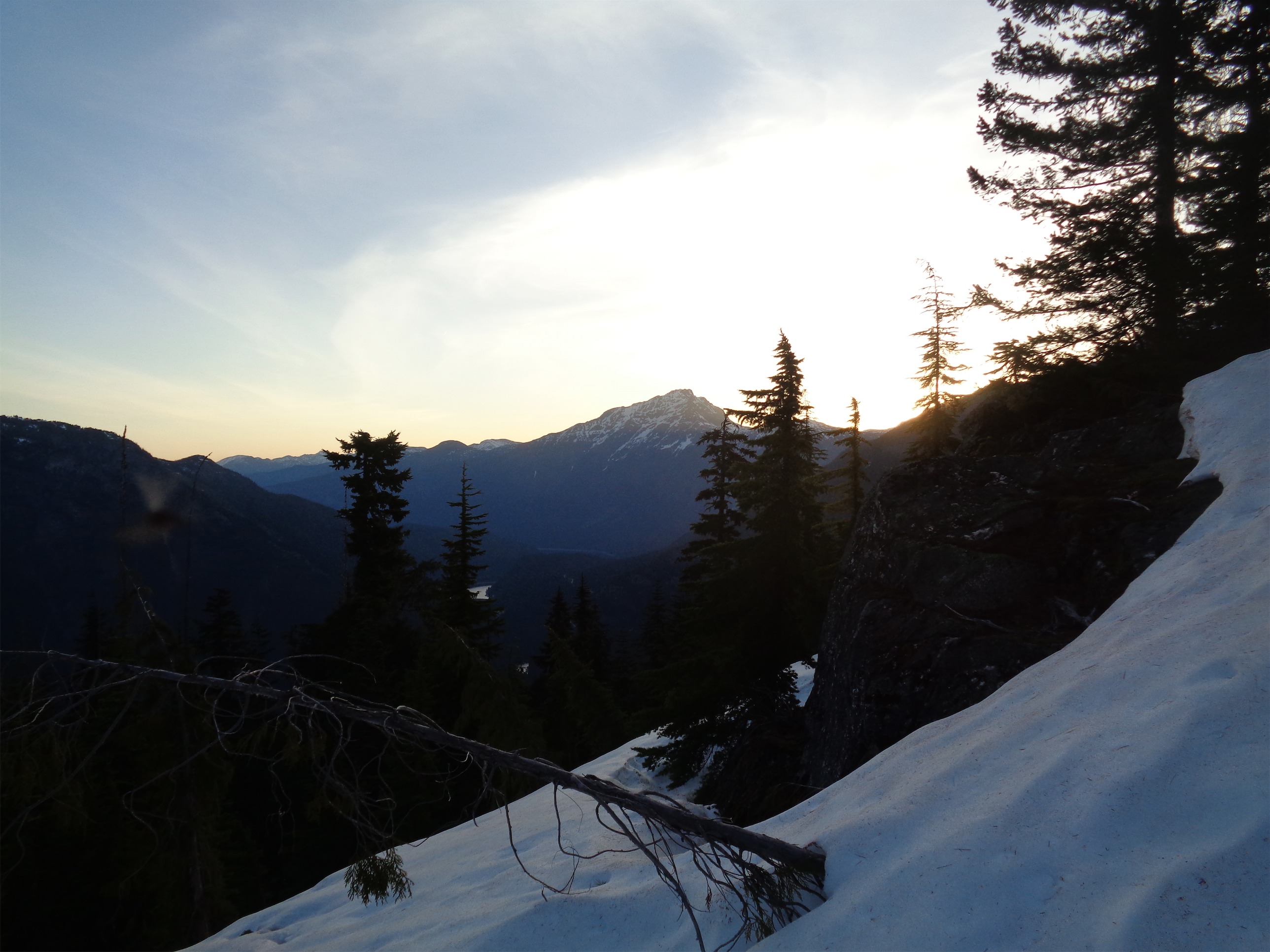
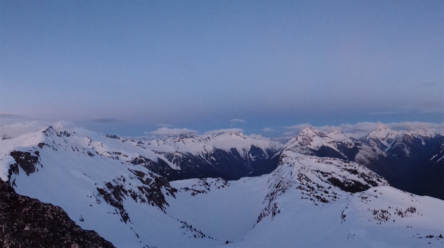
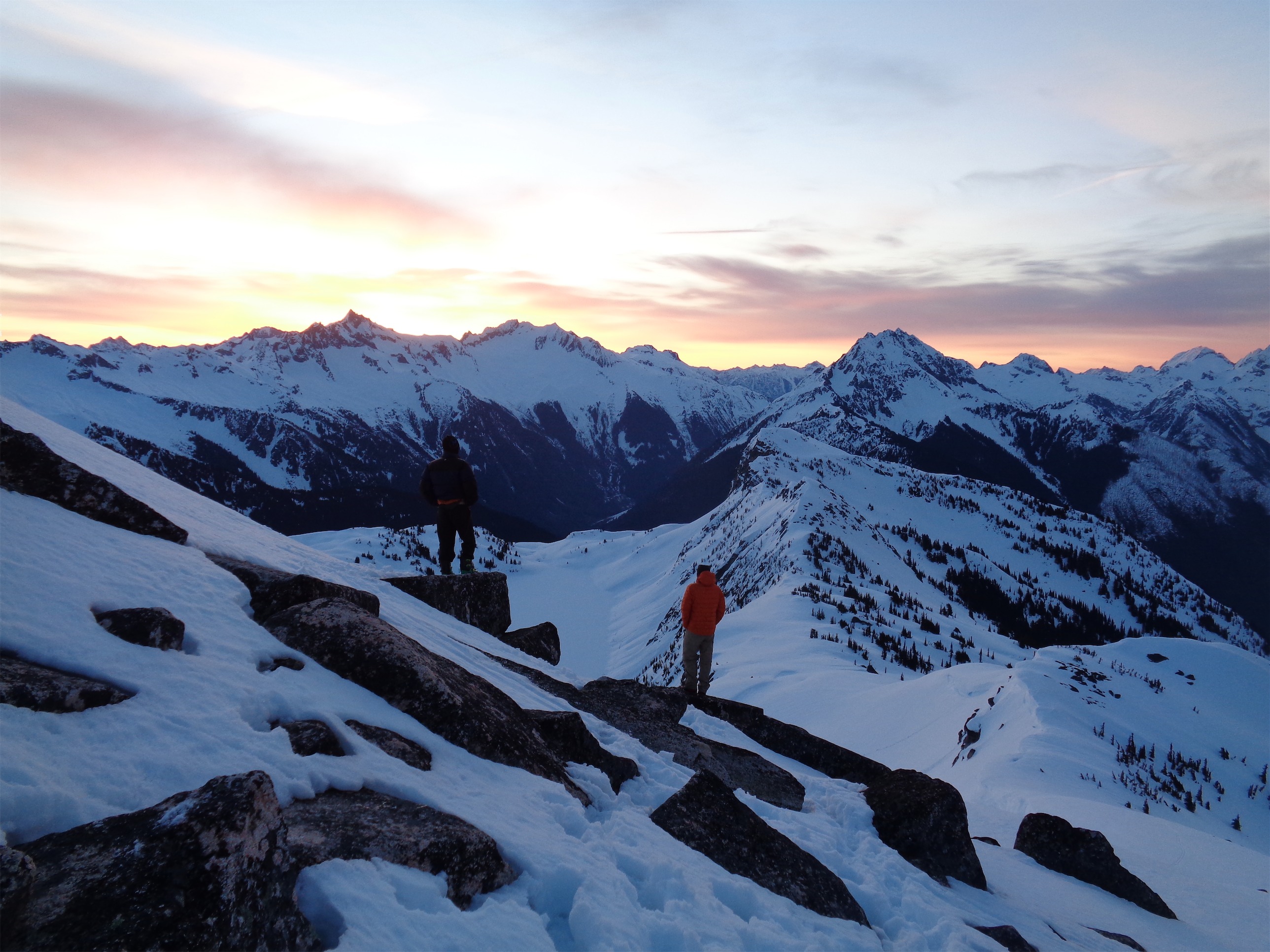
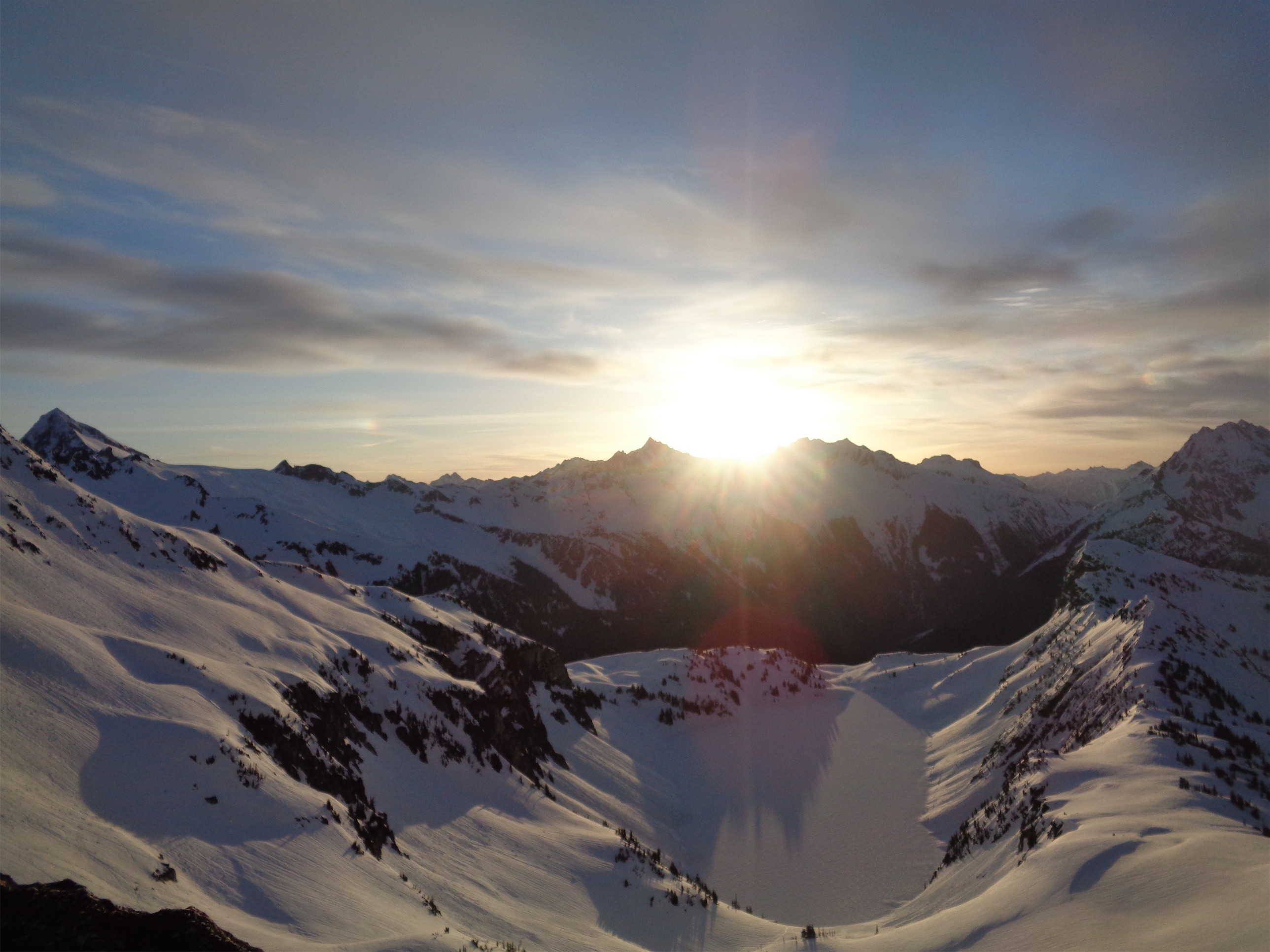
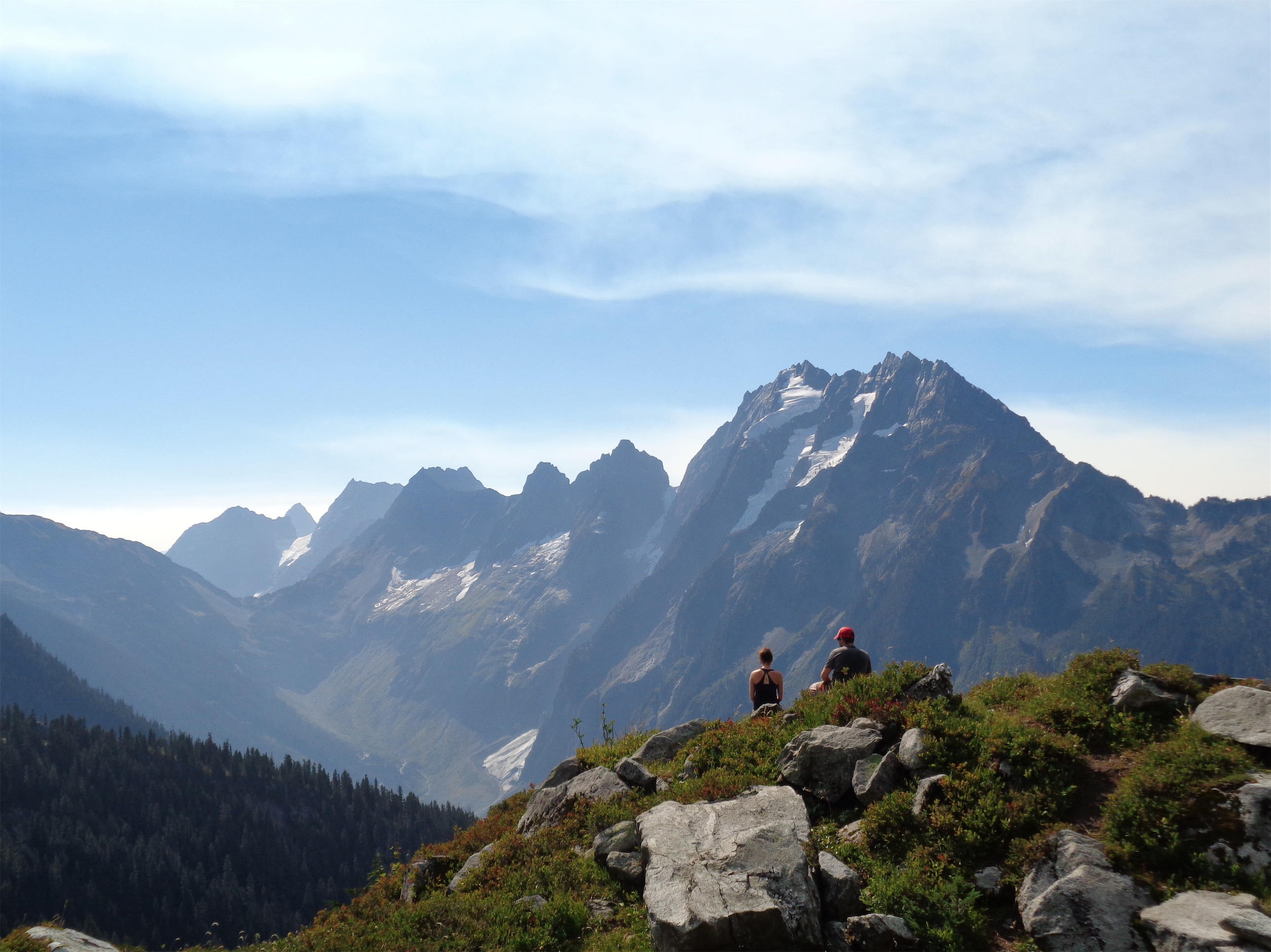
Sun starting to set on Boston and Sahale
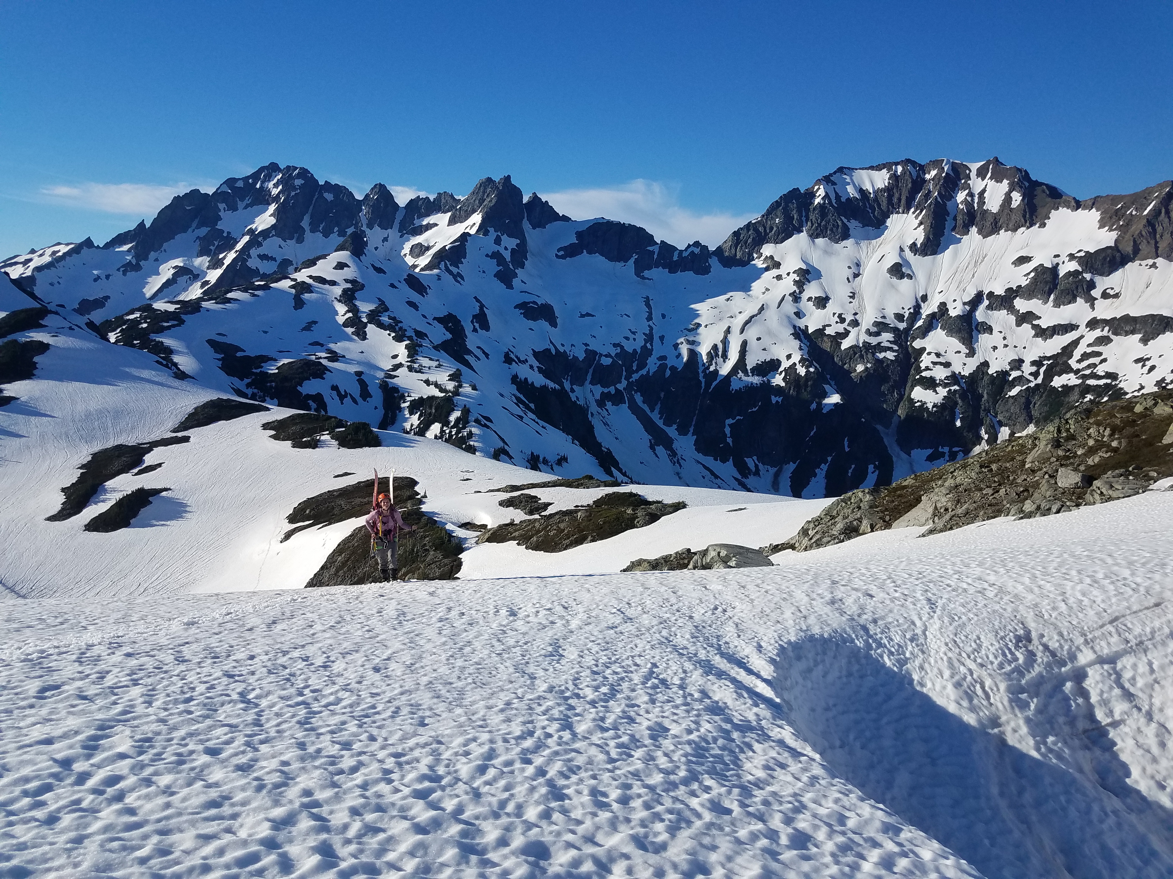
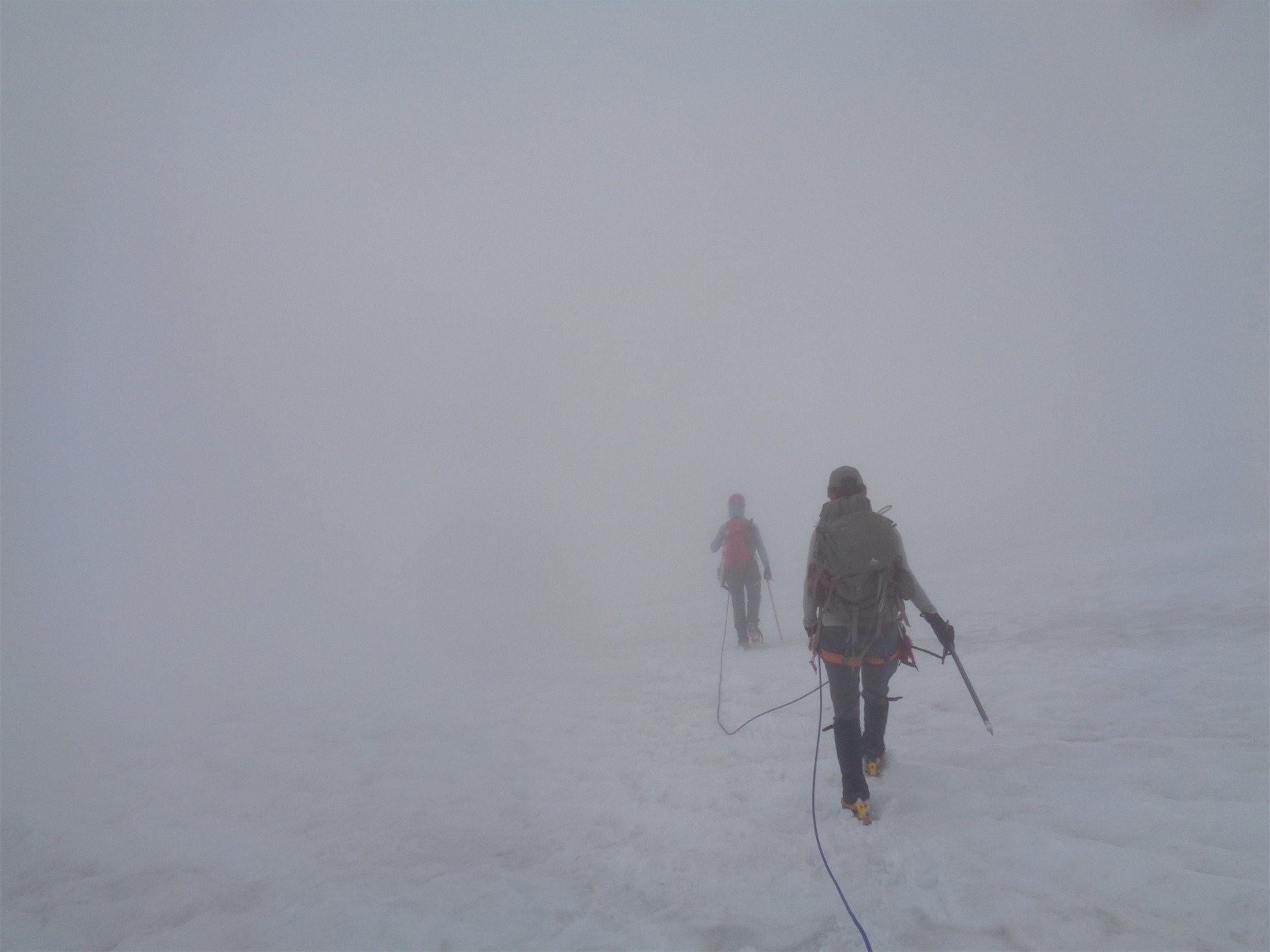
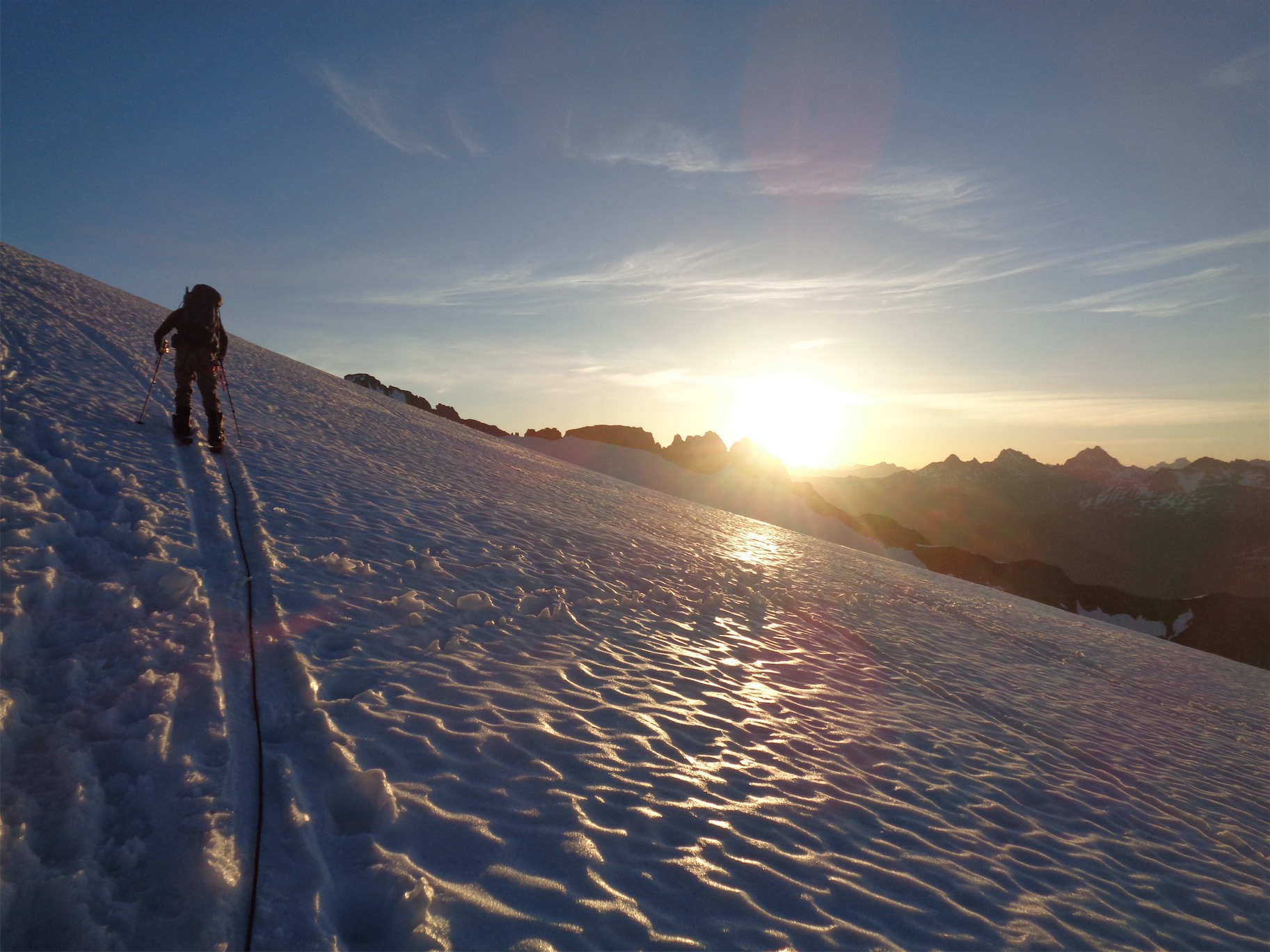
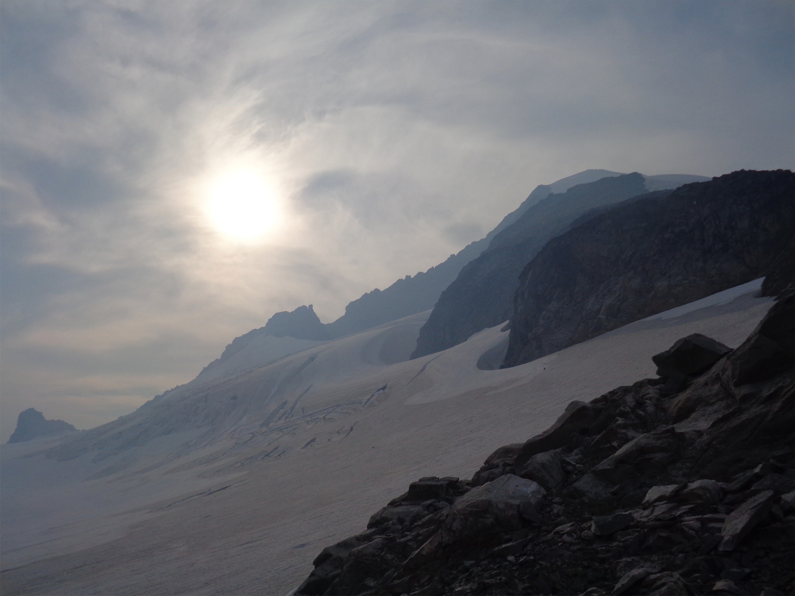
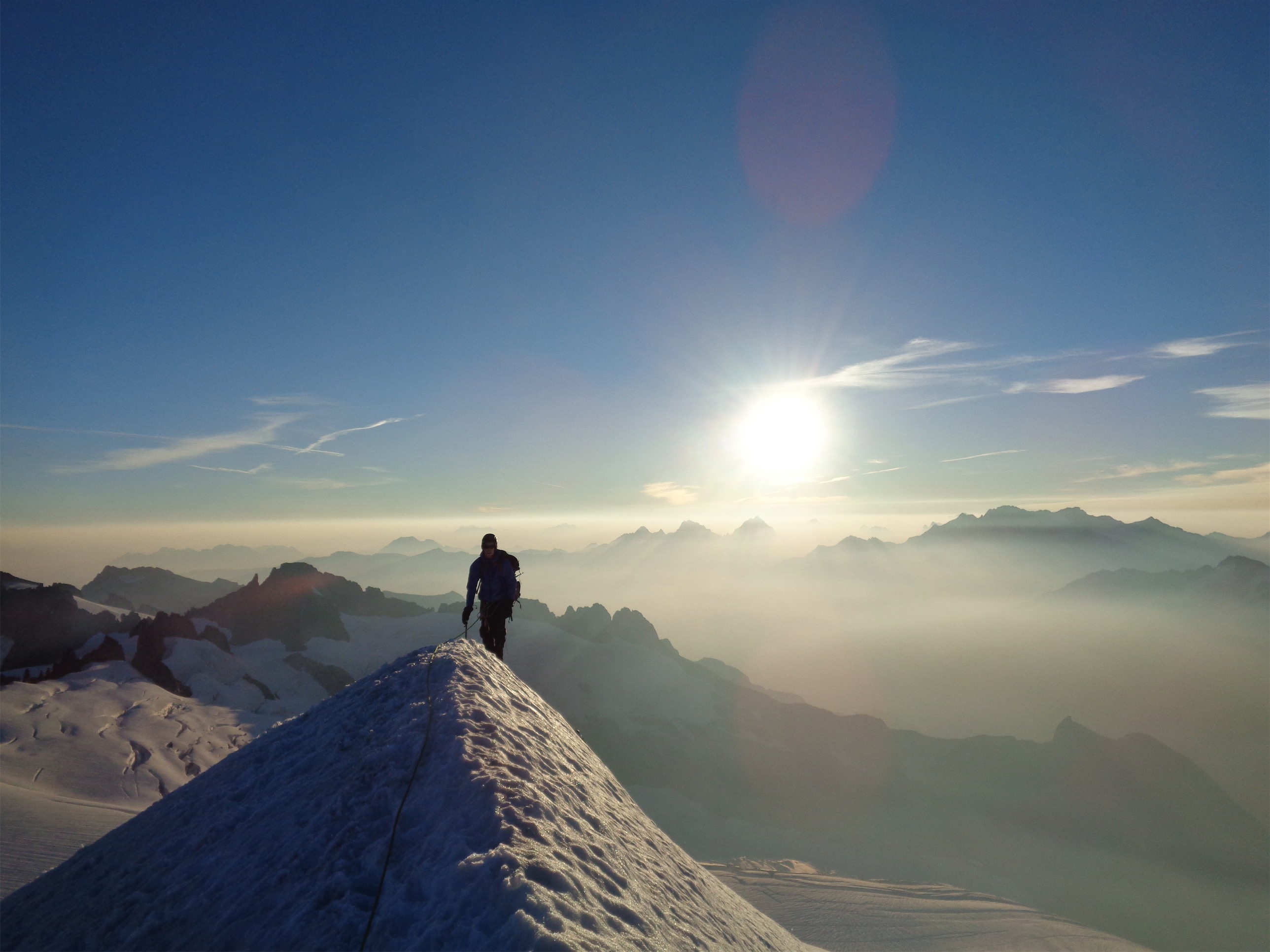
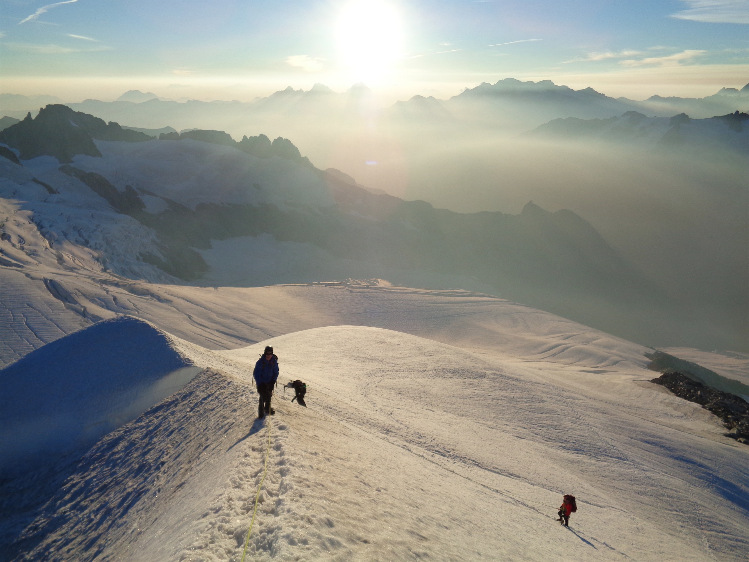
Calvin scrambled ahead to see if he could find rap slings. No dice. We saw some below us. Apparently most people rappel down to the grassy ledges that lead to the saddle you take to rap down onto the north side for the traverse. Last year we just downclimbed with no rope. Ha. I switched back to mountaineering boots, which I probably should have done at the bivvy site, because my feet were utterly destroyed. I could walk again!! I demolished a bag of peanut M&Ms, not realizing how badly I had needed fuel. Wow. We started rappelling into the unknown, hoping at the end of each rap that we’d find a new nest of slings. Hey, we’ve rapped into the dark before, we’re ready for this. The glacier looked so close, there must be a rap route down.
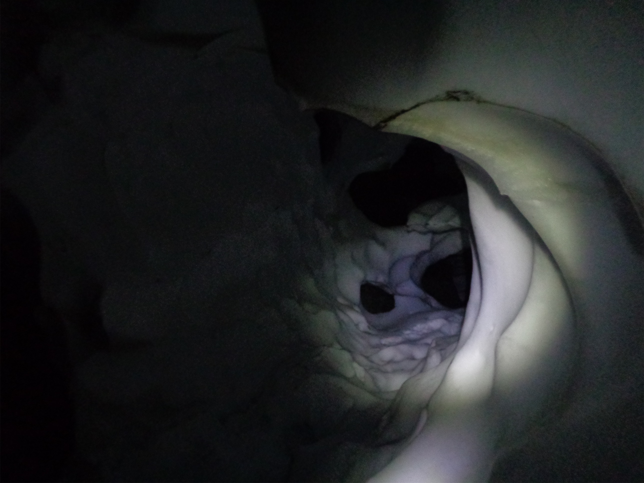
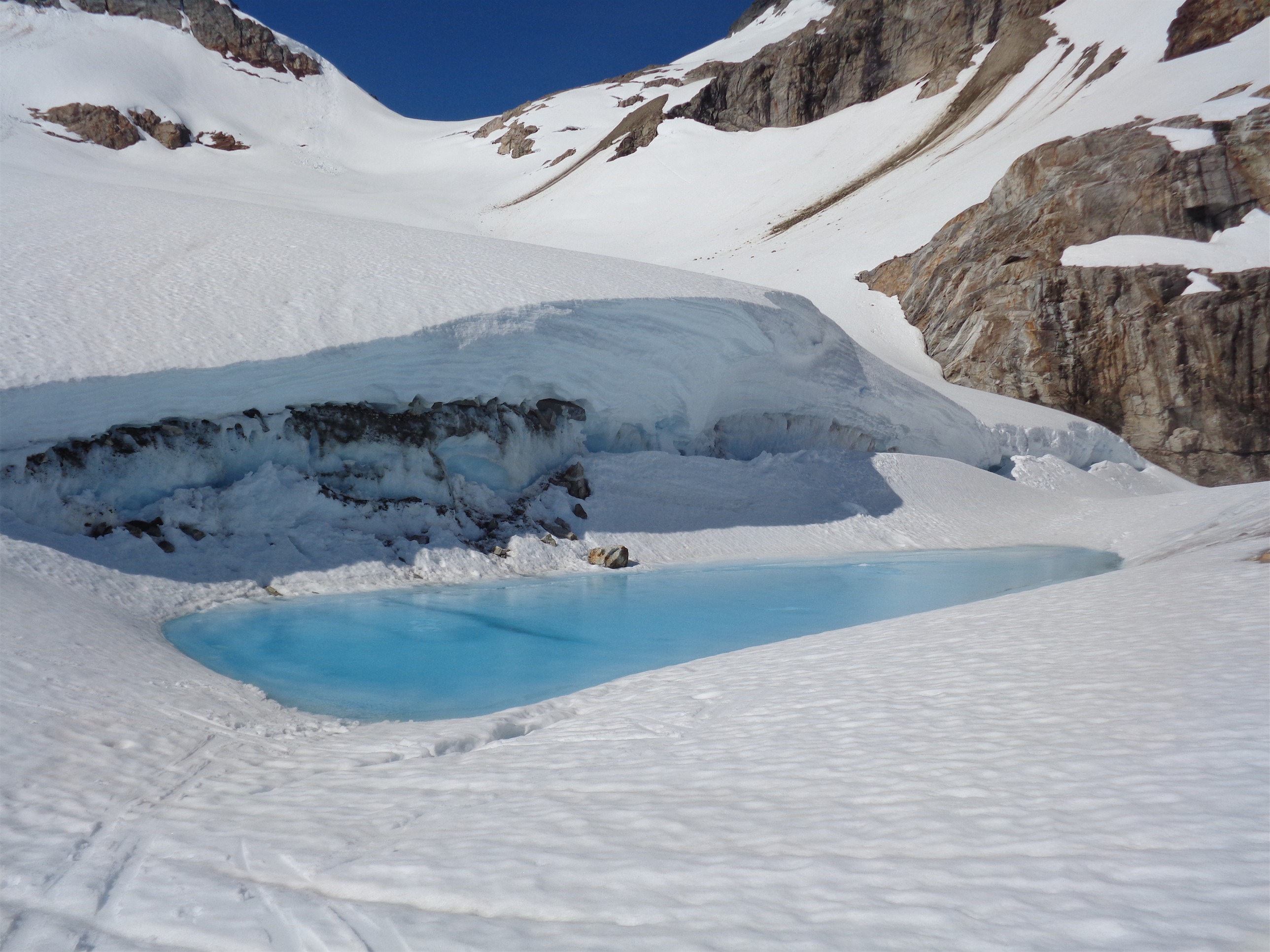
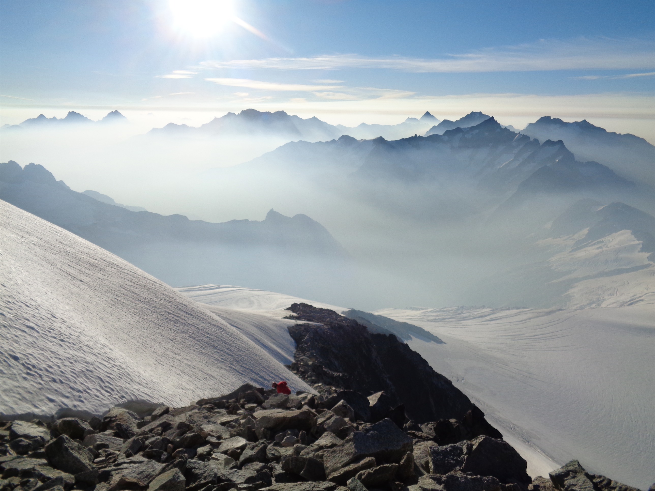
Spooky moat cave (taller than I am)
To the rap station he didn’t see, like 20ft below us. Shortest rappel ever. We set up at that rap station and I got in the next rap, which was a full rope with some nice overhanging stretches. Good, that meant we were losing elevation quickly. But it also meant there was potential to rap off of gear and potentially even a hanging station if we didn’t find a ledge. Luckily, I saw a small nest of new tat off to the right, and traversed over to it. By now it was dark. Calvin joined me. Hoping this would be the last rappel, I swung around the slung horn (awkward entry to this rappel) and started over another overhanging section, followed by a sheer rock face. I focused my headlamp on the ends of the rope, which dangled a few feet above a slanted ledge that ran out 10ft to a ~20ft drop to the ground. There was a decent sized moat, and the snowpack was ~12ft from the wall. There was a nice snow ledge I might be able to make it to that was only ~6ft from the wall, and we could ice climb over it and flop on the glacier and boot our way back to camp. But would the ropes reach? I didn’t like seeing them dangle and twitch as I continued down. I figured with rope stretch on my side, I had a chance. I shouted back up to Calvin. I’m gonna give it a shot, might need to prussik my ass back up if it doesn’t go. I’m sure he cursed in response, I couldn’t hear him over the sound of my awesomeness determination.

Cal using his nut tool as a spoon for snow cones (attempt to rehydrate)
Well the rope stretch was just enough, and I managed to hit the downsloping ledge with my ass. It was sheer except for one tiny crimpy foothold, and the wall next to me had no handholds. Shit. So I was held in place by my autoblock. I prussiked my pack onto the rope so I wouldn’t drop it into the dark black yonder below me and took it off my back so I could put on crampons and get my ice axe. I needed to get onto the snow ledge. With some wriggling and one-handed-crampon-strapping action, I pulled a bunch of slack through the autoblock and scooted over to get my frontpoints onto the one crimpy hold on the slab and kicked a toe hold on the vertical snow. It should only take two moves, I should be able to basically stem it, god dammit why don’t I do more yoga, if I could do a split this would be so much easier. Deep Warrior II. If I fell I’d only go like 10ft down the moat, it would just suck and I’d have to prussik back up the rope to get onto my slab ledge and try again. I was too exhausted for that.

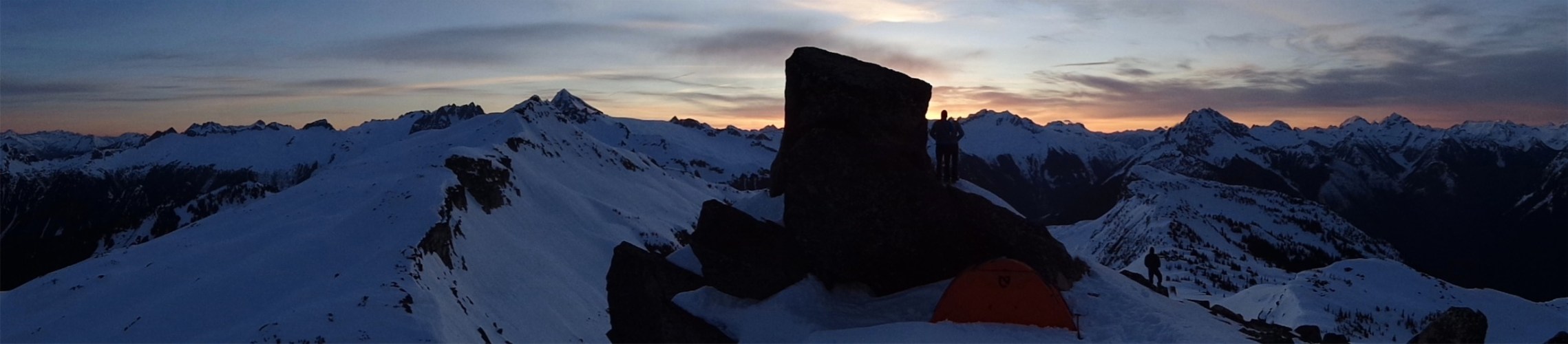
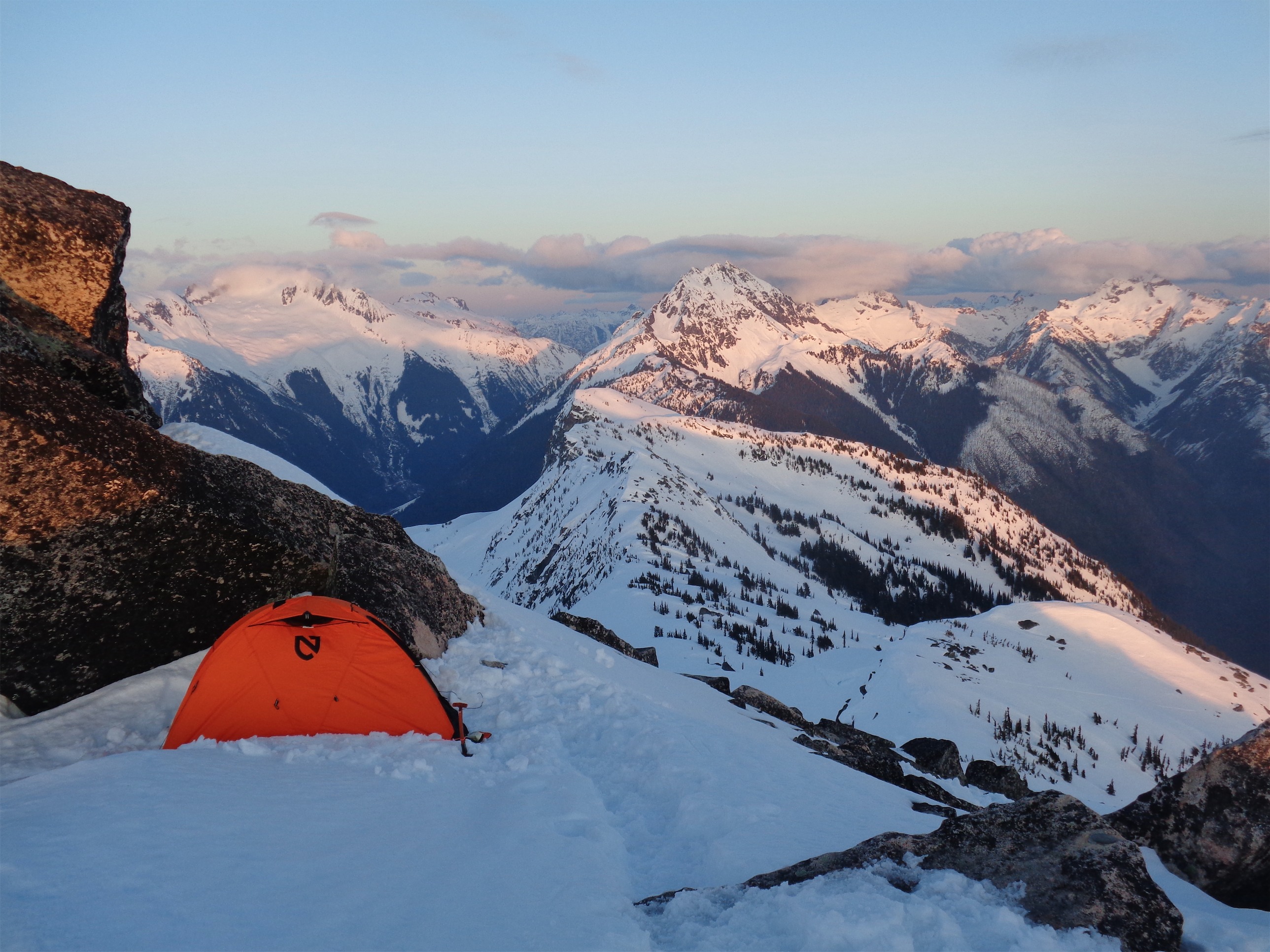
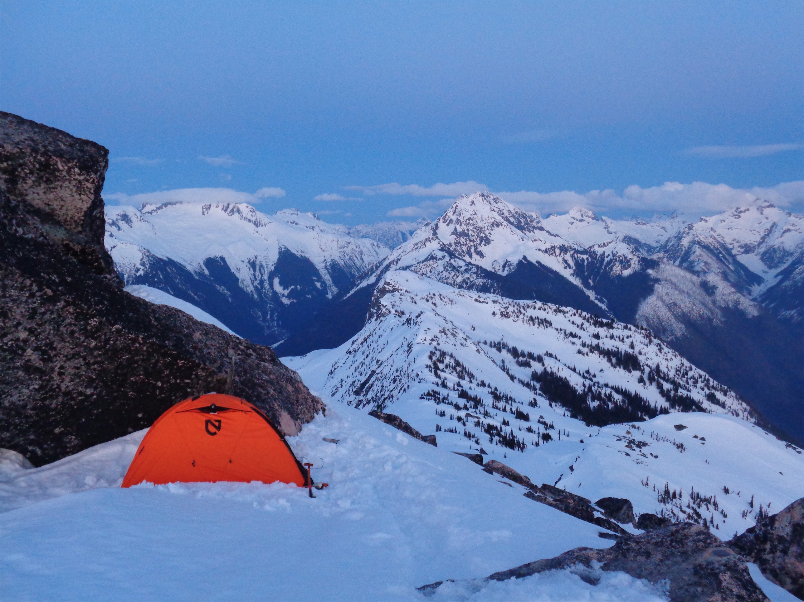
Our awesome bivvy site (photo credit Cal)
I heard the scraping of crampons on rock as Calvin dropped onto the rappel. He came over the lip of the rock face and saw the moat and released another stream of curses. I held the ends of the rope so he’d come straight to the snow shelf, and handed him my ice axe (should have brought a tool…) and pointed out the 7 or so ft he’d be leading. There’s my screw, you got a picket, we’re almost out of here. Calvin snapped into focus and was the happiest I had seen him in a few hours. Some people just enjoy being useful. He was up and over the lip in three swift moves and fewer than 12 f bombs (most of which were directed at my axe, because the pick wouldn’t stick to the frozen snow at all). He pounded in a picket, belayed me up, and we rapped as far down as we could off the picket since face-in-downclimbing steep snow is a pain in the ass and it was like midnight. I’m getting really good at leaving gear behind. Oh, we had rapped off a nut earlier too. Jesus.

Johannesburg over wildflowers
Back on plain mellow snow we retraced our steps to the first slab before the glacier where we had stopped for water. Every patch of rocks Calvin would ask “is this the water?!” We had been out of water for hours. I don’t drink water like at all, so I was in my usual persistent state of dehydration. We finally found the slabs and drank so much water and I went to the bathroom for the first time all day and we set up our bivvies and made dinner (it’s 2am at this point) and I used my medical tape on my dehydrated meal because there was a hole in the bag 😦 The meal never cooked but I was so hungry I didn’t care. Crunchy salt dry risotto anyone?

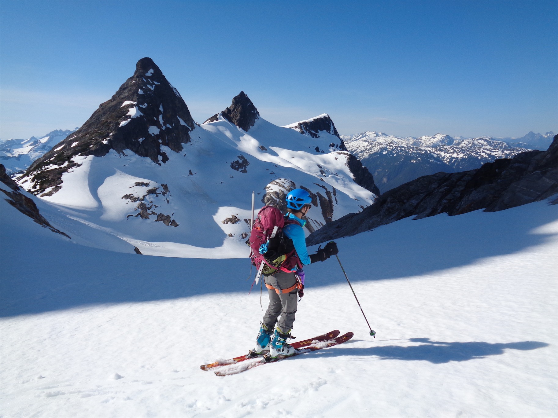
Going up the chimney on the second pitch (photo credit Cal)
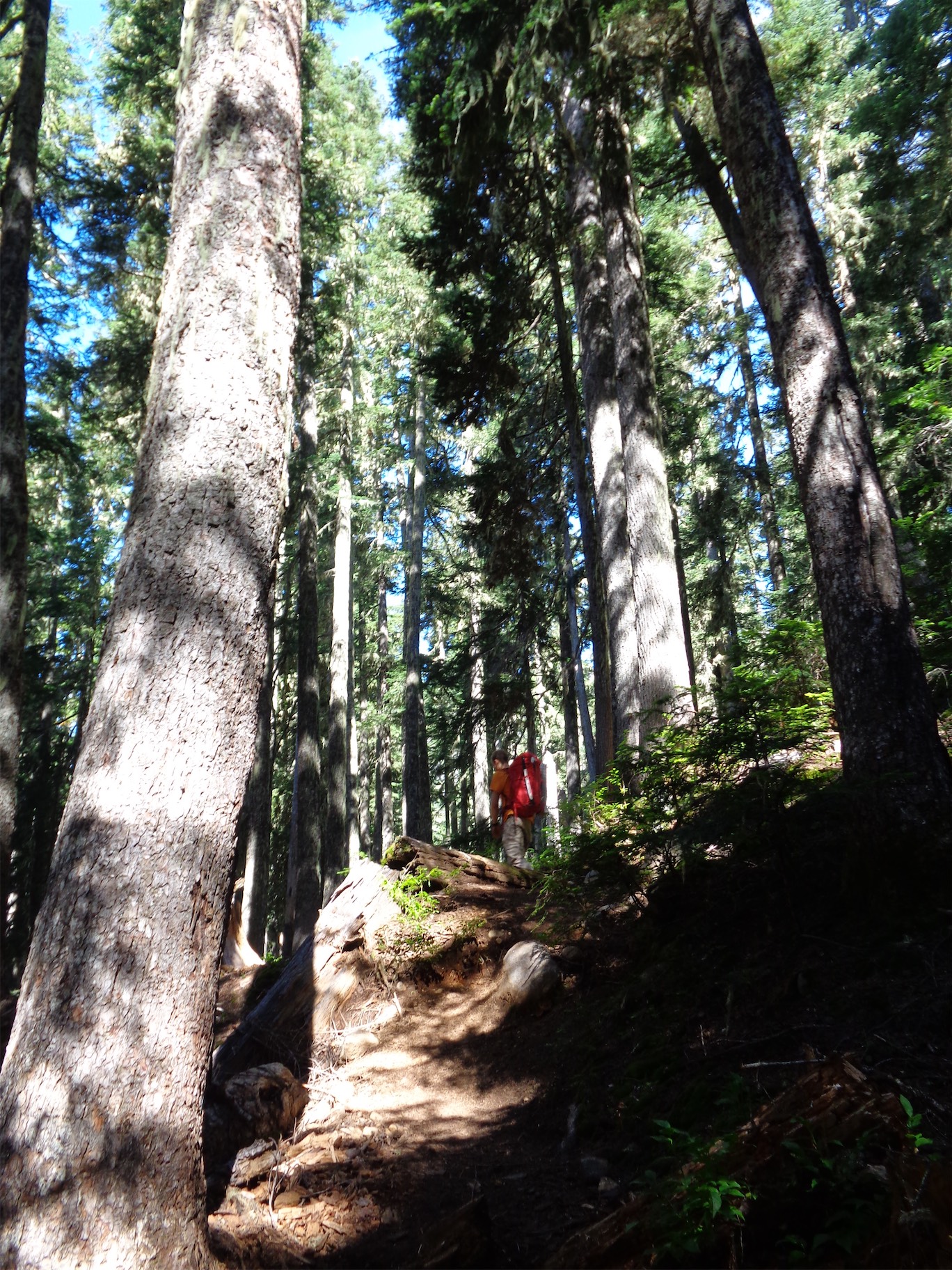
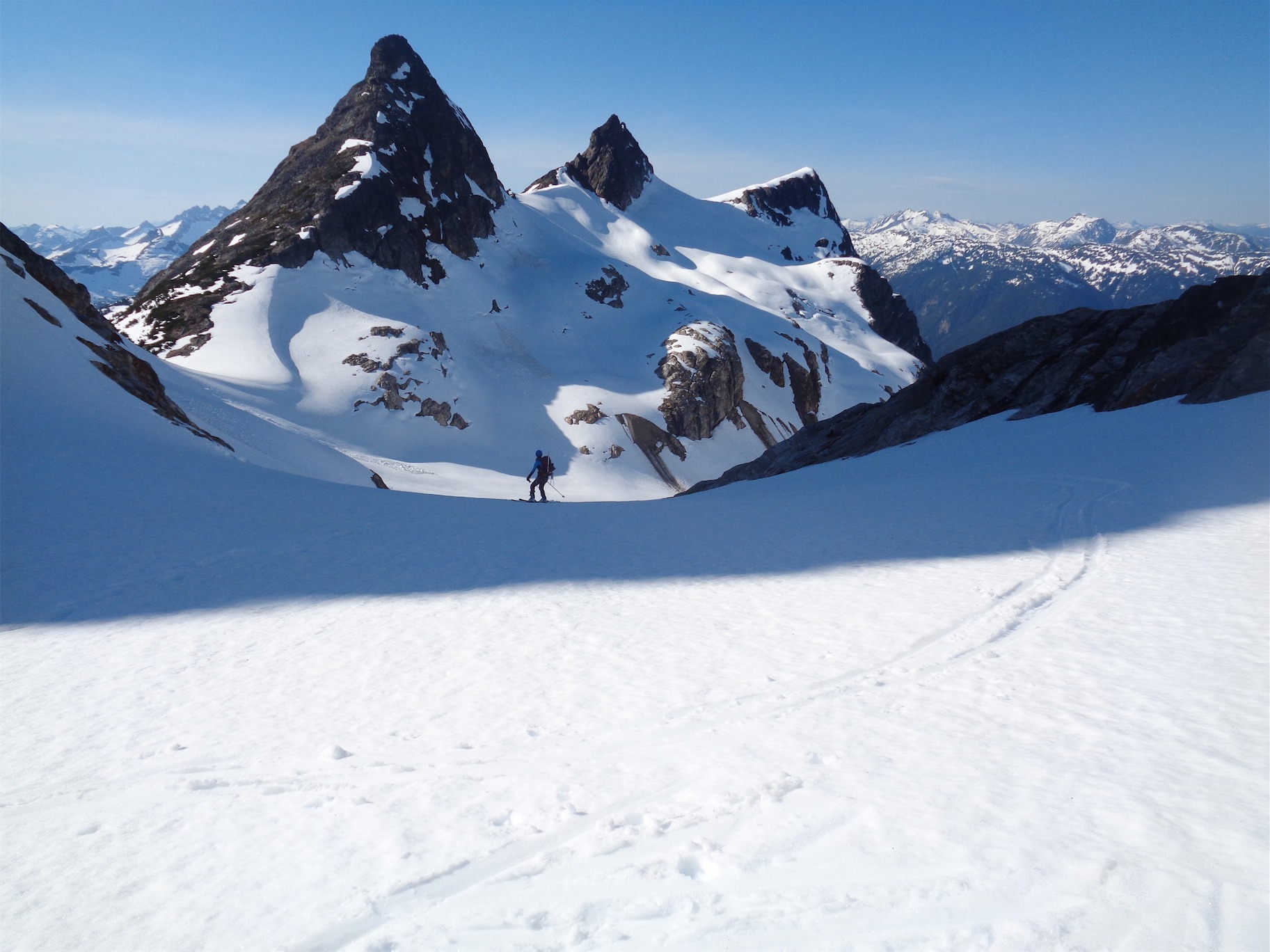
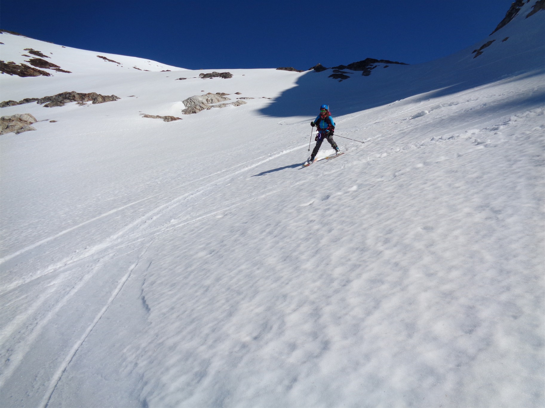
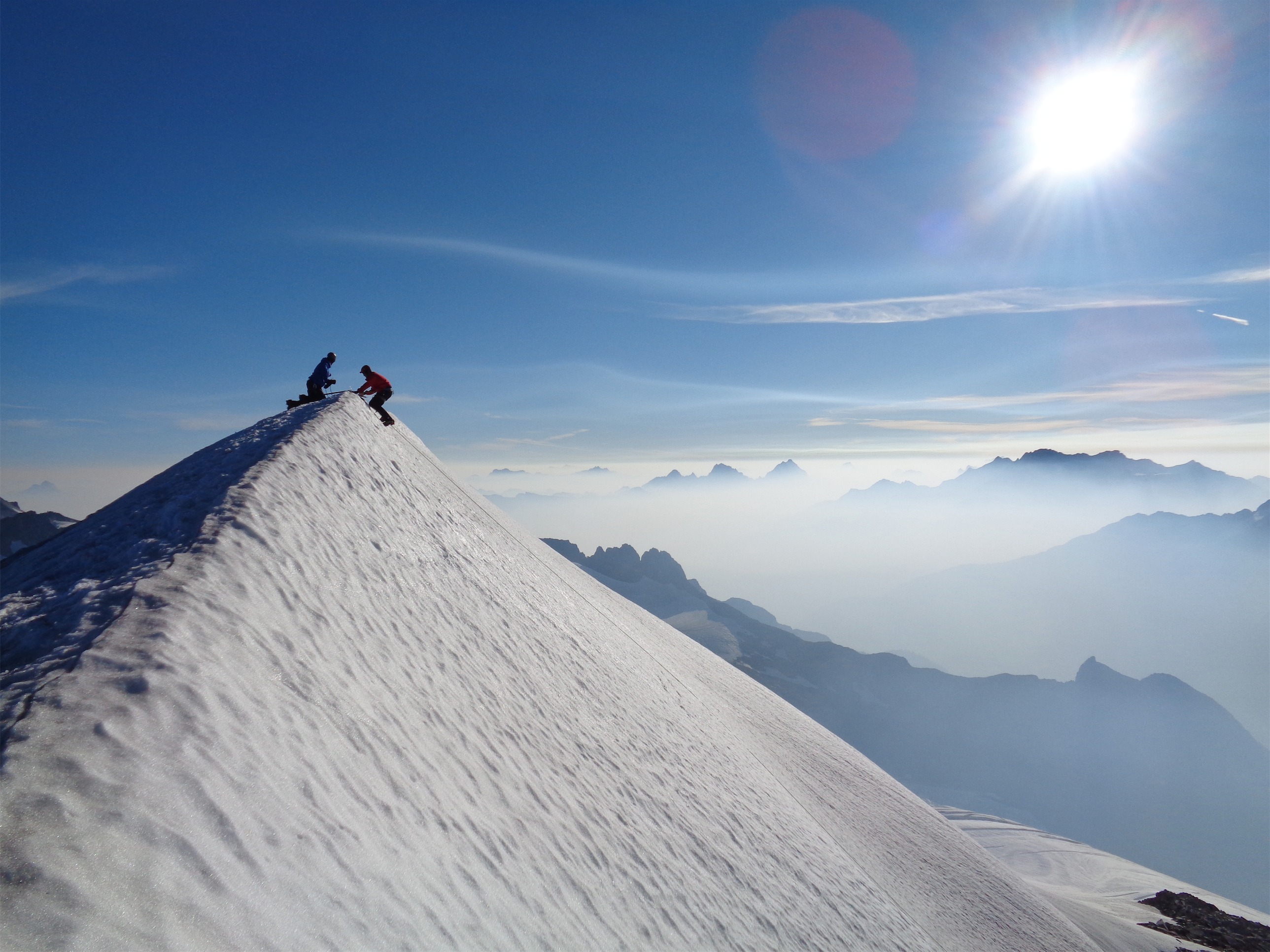
We hiked back to the car, stopped at the first gas station we saw for benadryl (Cal’s arm was now quite swollen and itchy from the bee stings), and stopped at my car so I could grab my other rock shoes and leave the toe crushers behind. We drove to Schoolhouse Brewery in Winthrop for dinner, where we destroyed guacamole burgers and beer. We car camped in Calvin’s awesome rooftop tent at the Blue Lake trailhead, woke up at 6, and got moving around 6:30. The approach to the Beckey Route is super easy besides an annoyingly loose gully scramble to the notch where it starts, but soon enough we were at the base. We got gear set up waiting for the team ahead of us, and headed up as soon as they were at the top of the first pitch.

Belaying at the top of the second pitch
The first pitch is a fun low fifth class “chimney” that you follow beneath a chockstone, though it feels more like climbing a gully than a chimney since there are jugs everywhere with a sweet layback move towards the top. Good hands, good feet. We cruised up it and met the group ahead of us at the belay station. Plenty of room for two teams. The second pitch has a real chimney, requiring actual chimney technique, which I inched up while bitching about chimneys. Over a few chockstones it turns into blocky climbing, and you belay at a tree below the slabby pitch. We passed the team in front of us to get to a further tree, and waited there for them to continue up.
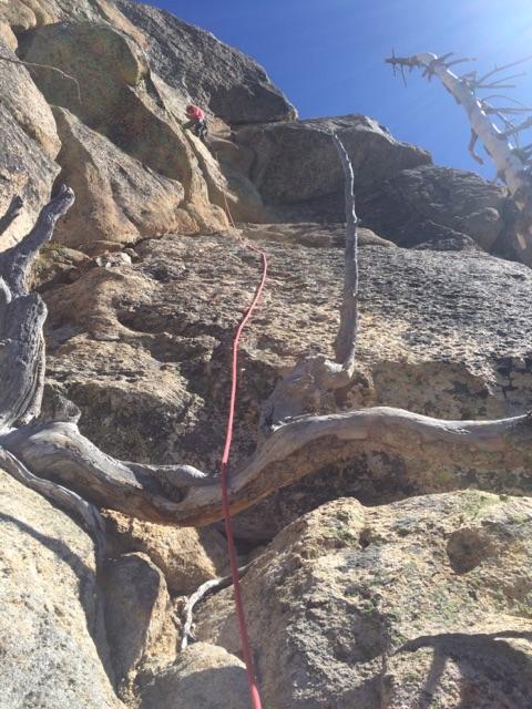
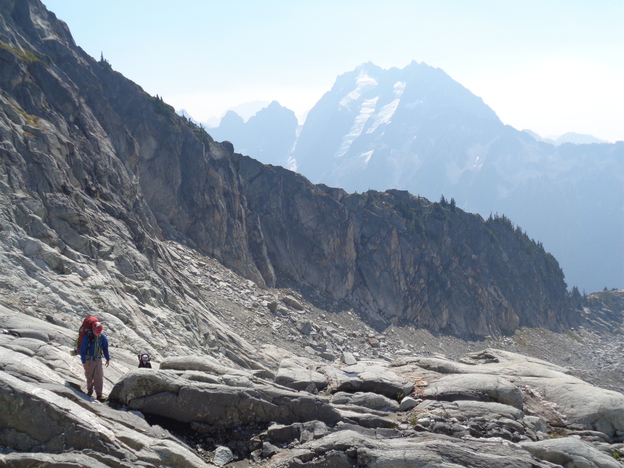
Heading up the third pitch (photo credit Cal)
The third pitch calls itself fourth class until the crack traverse, but I’d call it low fifth class slabs. The first 20ft or so are easy fourth class, but the 20ft leading to the crack felt technical to me. I placed a ‘panic piece’ (a piece that I usually know is shitty but I want to feel like I placed something, it’s a waste of time and energy) on the first traverse. The finger crack traverse itself was honestly not that bad, just a little side leaning and awkward. Good smears and a good hand in the crack were fine. I overshot the belay station here and went all the way up to the base of the infamous slab, and brought Calvin up.

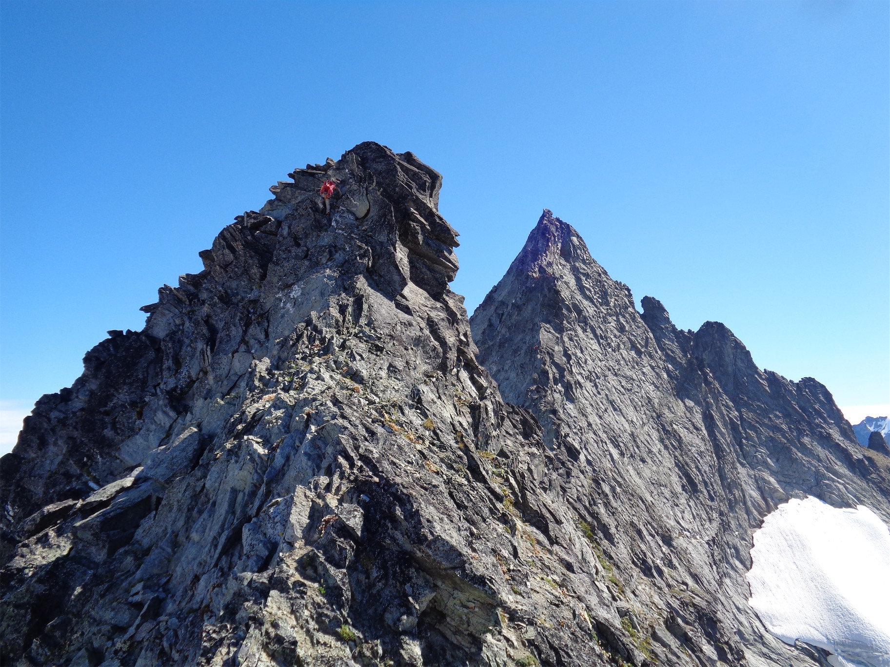
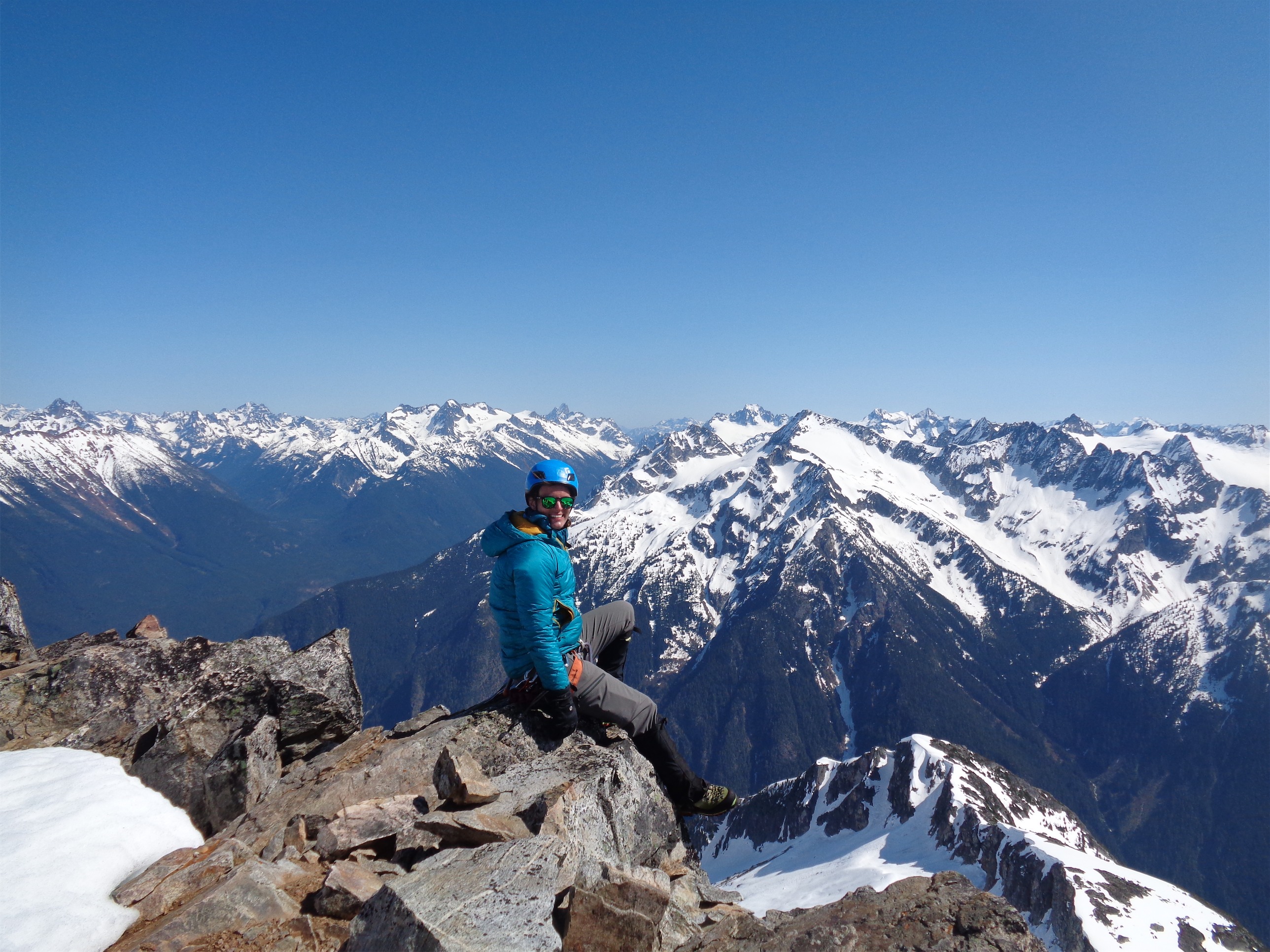
There are actually two climbers in this photo
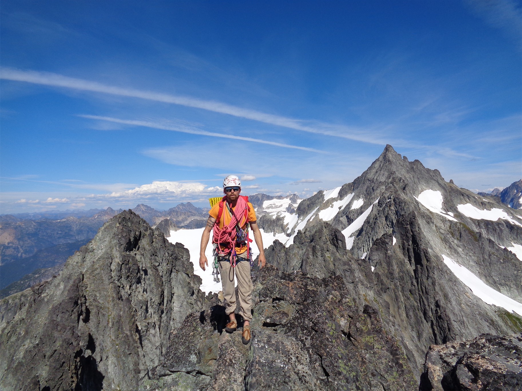
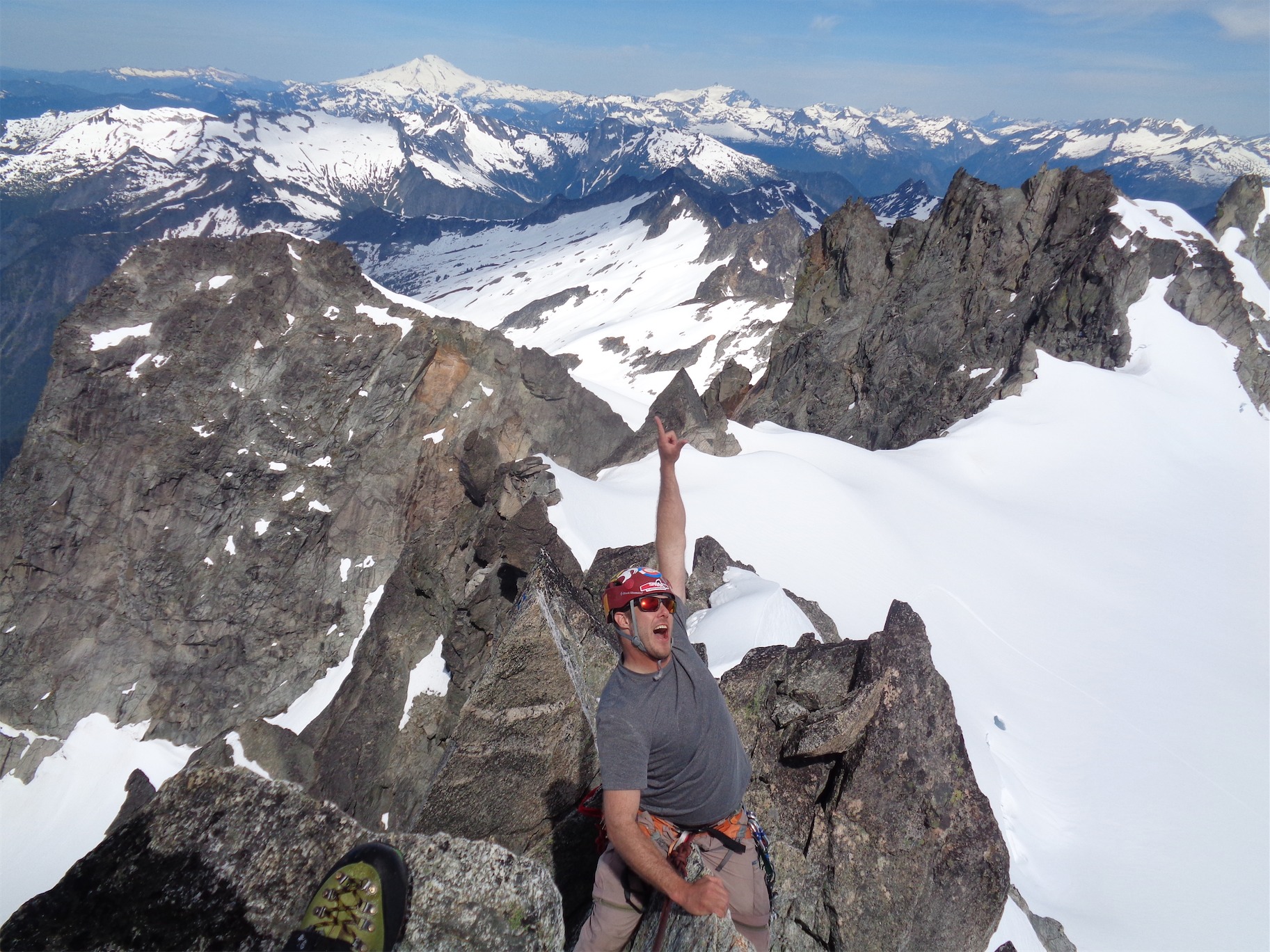
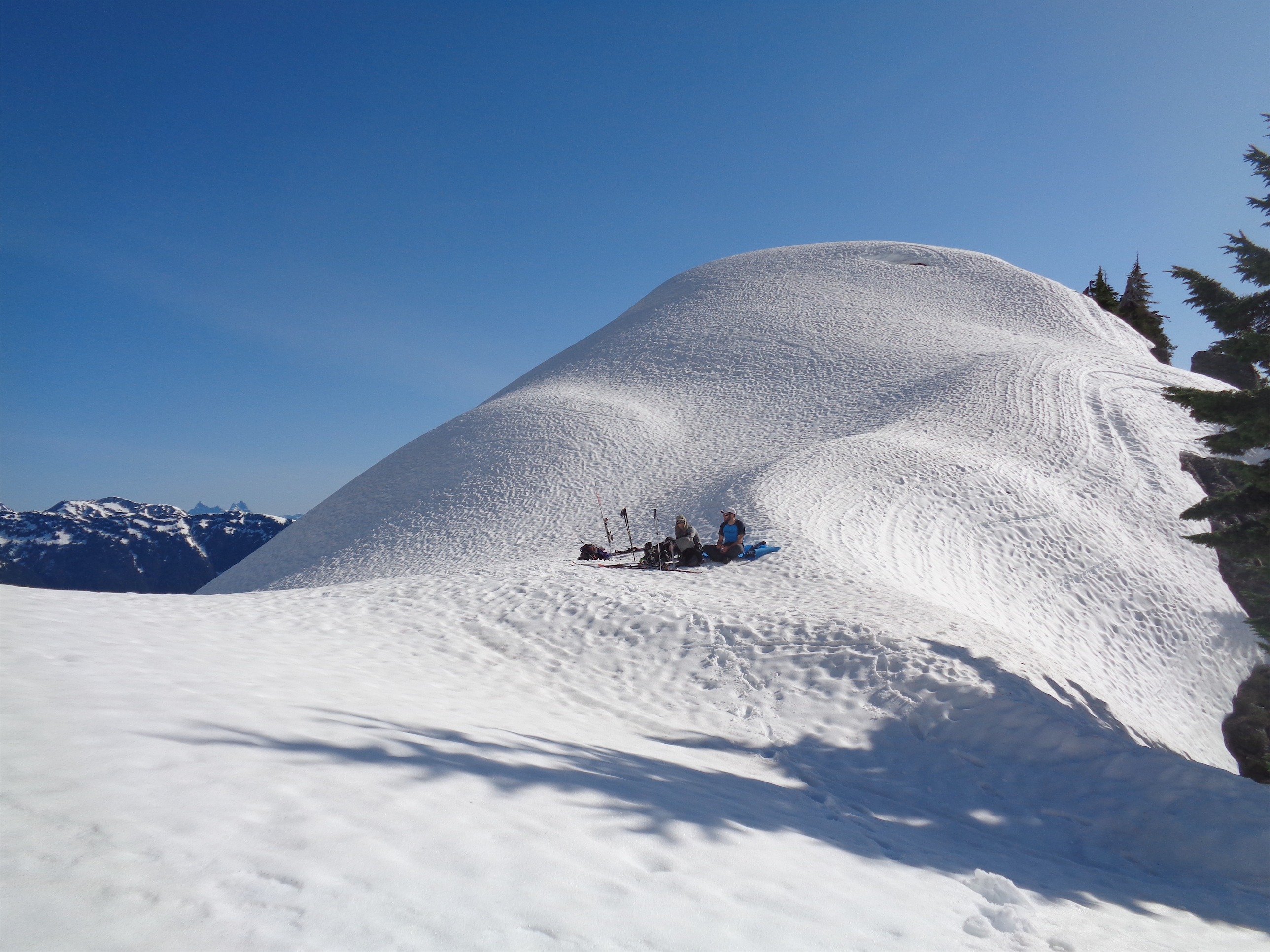
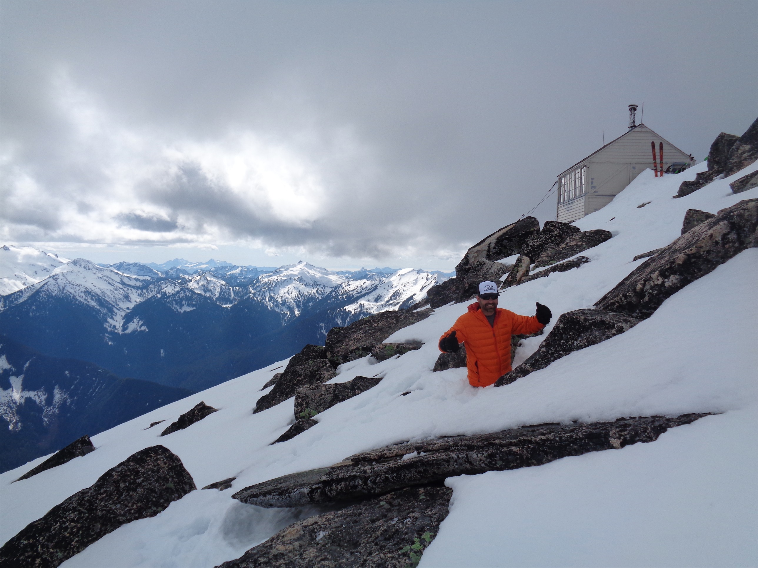
We wasted some time trying to get my cam unstuck, since I had yanked it out in a bad direction and gotten it pretty jammed in there. Then we waited for a team to lower over the slab, and then we were up. It looked intimidating, but was actually surprisingly short and really only one or two moves to get ahold of the glory jugs at the top. From there, we scrambled to the summit, where Calvin donned his summit hat as I sipped on whiskey.
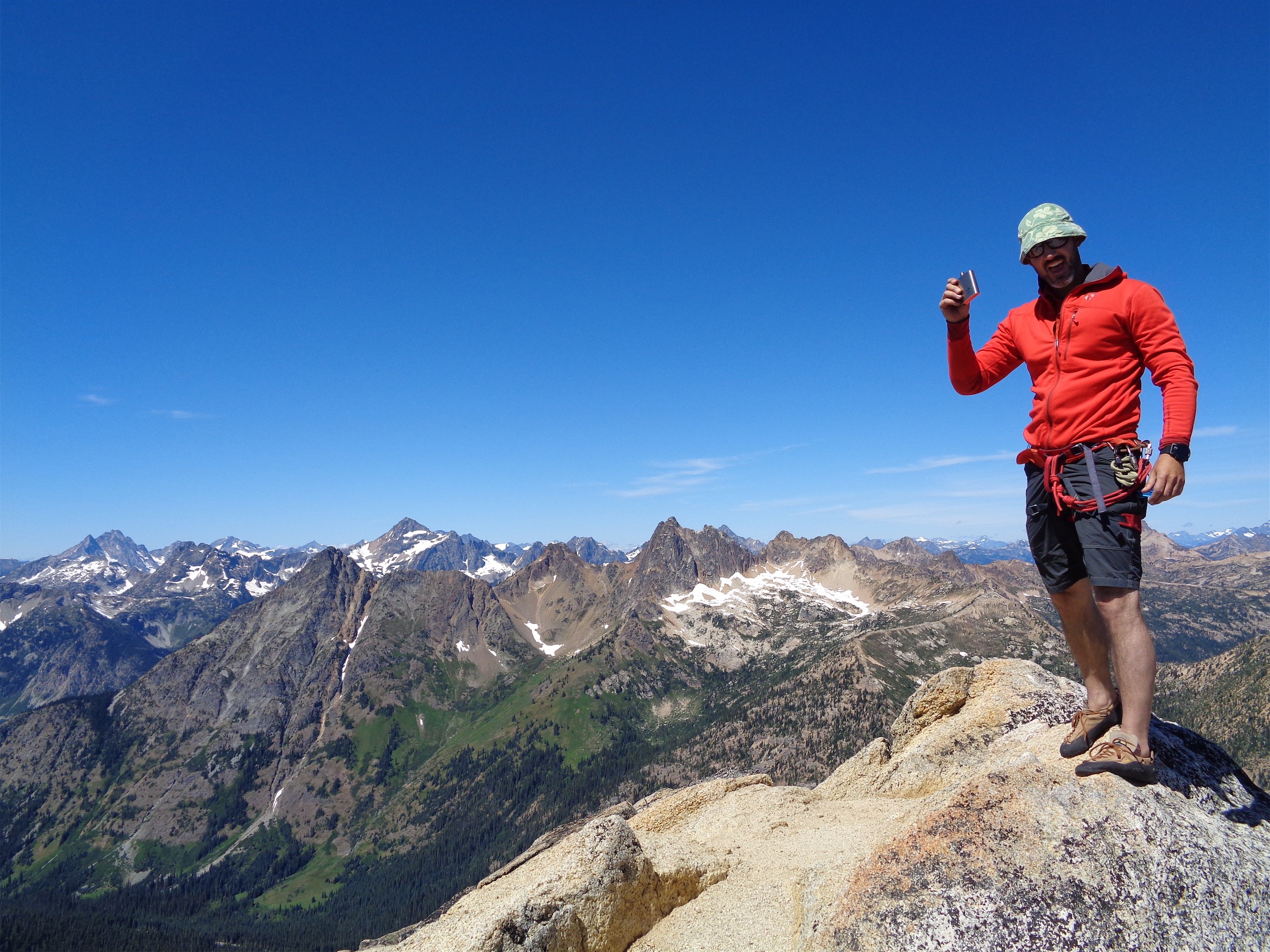
Summit hat and whiskey!
Two rappels get you back to the base of the route (fastest descent ever and so refreshing after the 11-rappels-ending-in-a-moat debacle of the previous climb) where you can get your gear back, climb back down the annoyingly loose scramble, and hike back to the car on beautifully mellow well maintained trail. We were at the car by 3, stopped for dinner along highway 20, and I was in Seattle once again at a reasonable hour. Crazy when that happens.

Cal downclimbing to the first rappel
So the weekend was salvaged, and ended up being interspersed with great burgers, beer, benadryl for all, and luxurious car camping. But it was awesome to finally get past my mental block rock climbing and start to get my confidence back after the past few months, and we still enjoyed some pretty awesome terrain and views. We’ll be back for TFT next year when there are fewer mental games going on. Huge thanks to Calvin for putting up with my anxious ass and making me take the lead all weekend, even after the first trip was so rough. Finally coming to the light at the end of the tunnel after trying to get back into climbing the past few months!

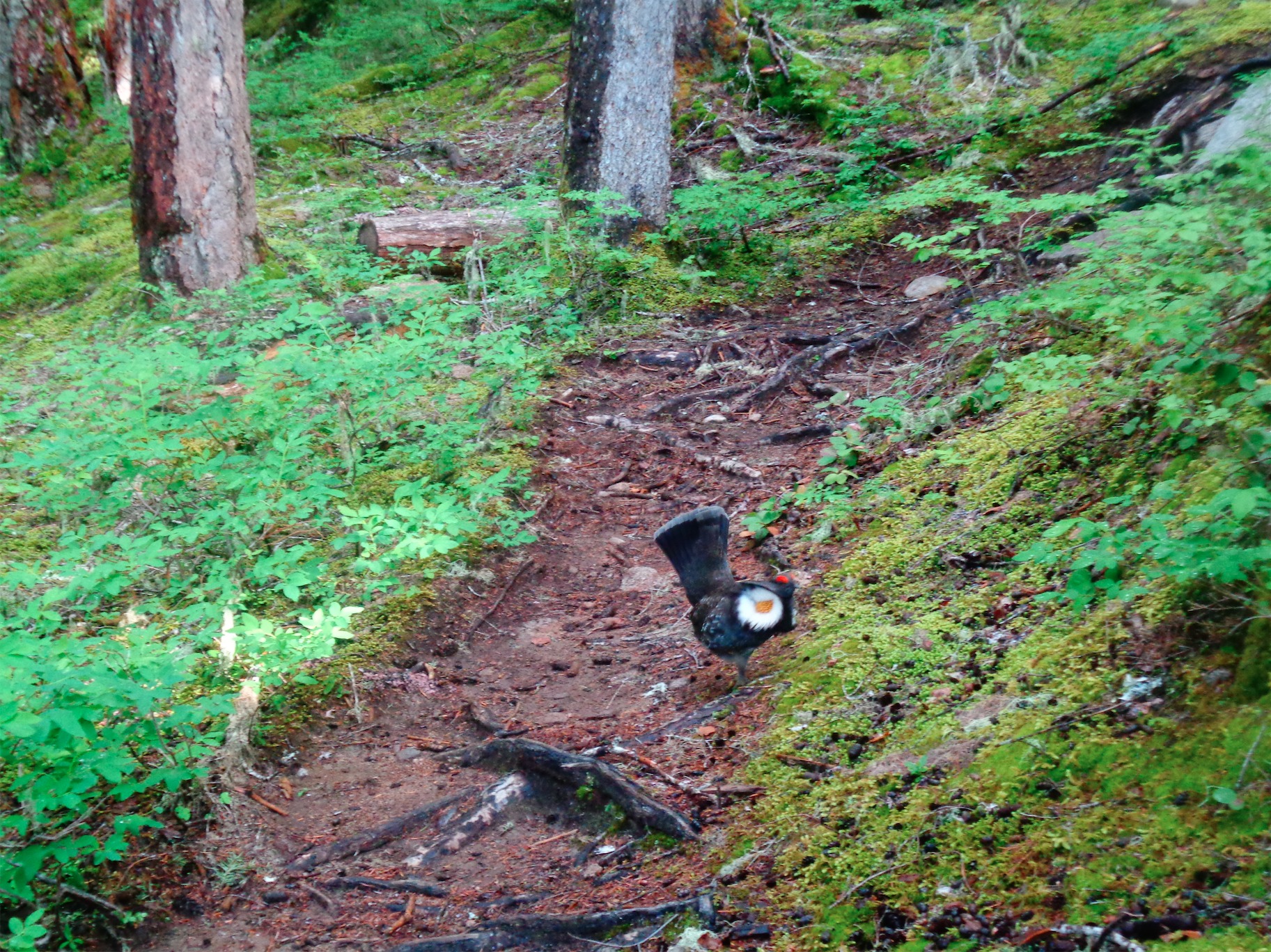
Goat just chilling (photo credit Calvin)