“Little” obviously has to do with the river, because these falls are anything but little. But the trail… the trail is… weird. It looks like there are multiple different ways of accessing the falls, two via a Weyerhauser road and a third from above(?), which we explored a bit but bailed because it was pointless for us. We started at the coordinates provided by WTA starting at Pack Forest, more specifically the Charles L. Pack Experimental Forest. Sounds more exciting than it is, it’s just a significant piece of land with multiple drainages, significant enough rivers and flora/fauna to use as a playground to land management. Fortunately, we get to use this as our recreational playground, too! Unfortunately, WTA’s description was either entirely inaccurate, incredibly unhelpful, or yours truly is incapable of urban navigation (most likely).
- Distance: 7mi (all falls plus a slight exploratory detour)
- Elevation gain: 500ft
- Weather: 50’s and cloudy
- Commute from Seattle: 1:30
- Did I Trip: No! Neither did Amber, though her muddy clothes suggested otherwise
We pulled up to the Park Forest gate at the coordinates from WTA. Well, sort of, the gate was closed like a quarter mile before the WTA coordinates. There was a couple who parked next to us and asked if they were in the right place, to which I confidently replied “yes!” and they asked where to go and I said “beyond that gate, and follow the road until eventually there’s a trail!”
Within 5 minutes of walking, we found ourselves at some sort of… camp? Office retreat? I have no idea. Cabins and parking and we continued to follow the road until we came to a sign: TURN AROUND! Ah crap, is it closed for some reason? We got closer. “Mashel Falls is not this way. Go back to the sign and turn right.” Oh. Okay. That’s cool I just immediately got us nearly headed off in completely the wrong direction. We would have been wandering a maze of forest roads with no waterfalls. We went back to the sign, which turned out to have a trailhead style billboard with a map saying “Little Mashel Falls Reroute” which made me feel a little better. And a bright red paper saying “LITTLE MASHEL FALLS ——->” which made me feel less better. So, that drives the theory that WTA’s directions are out of date.

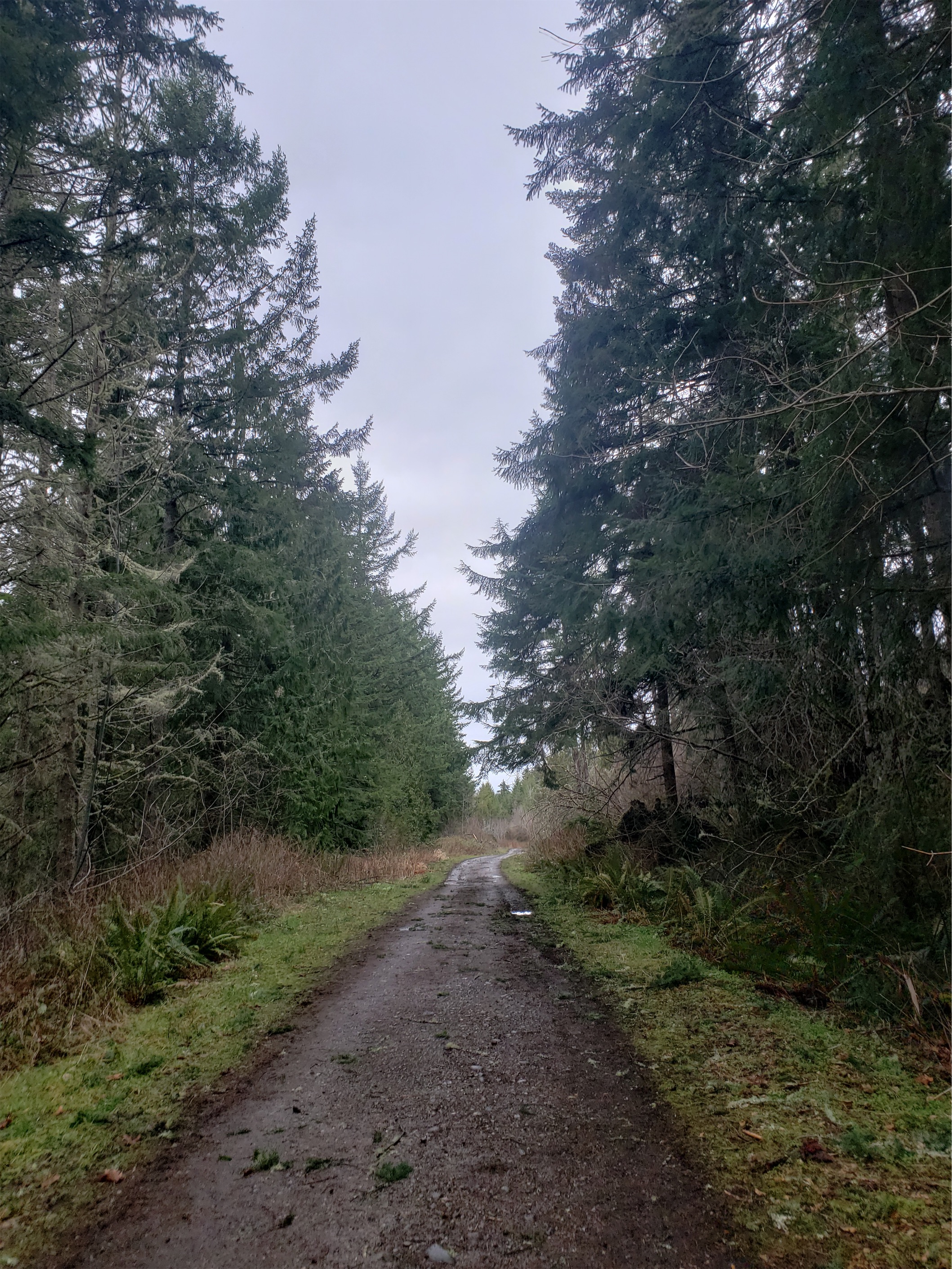
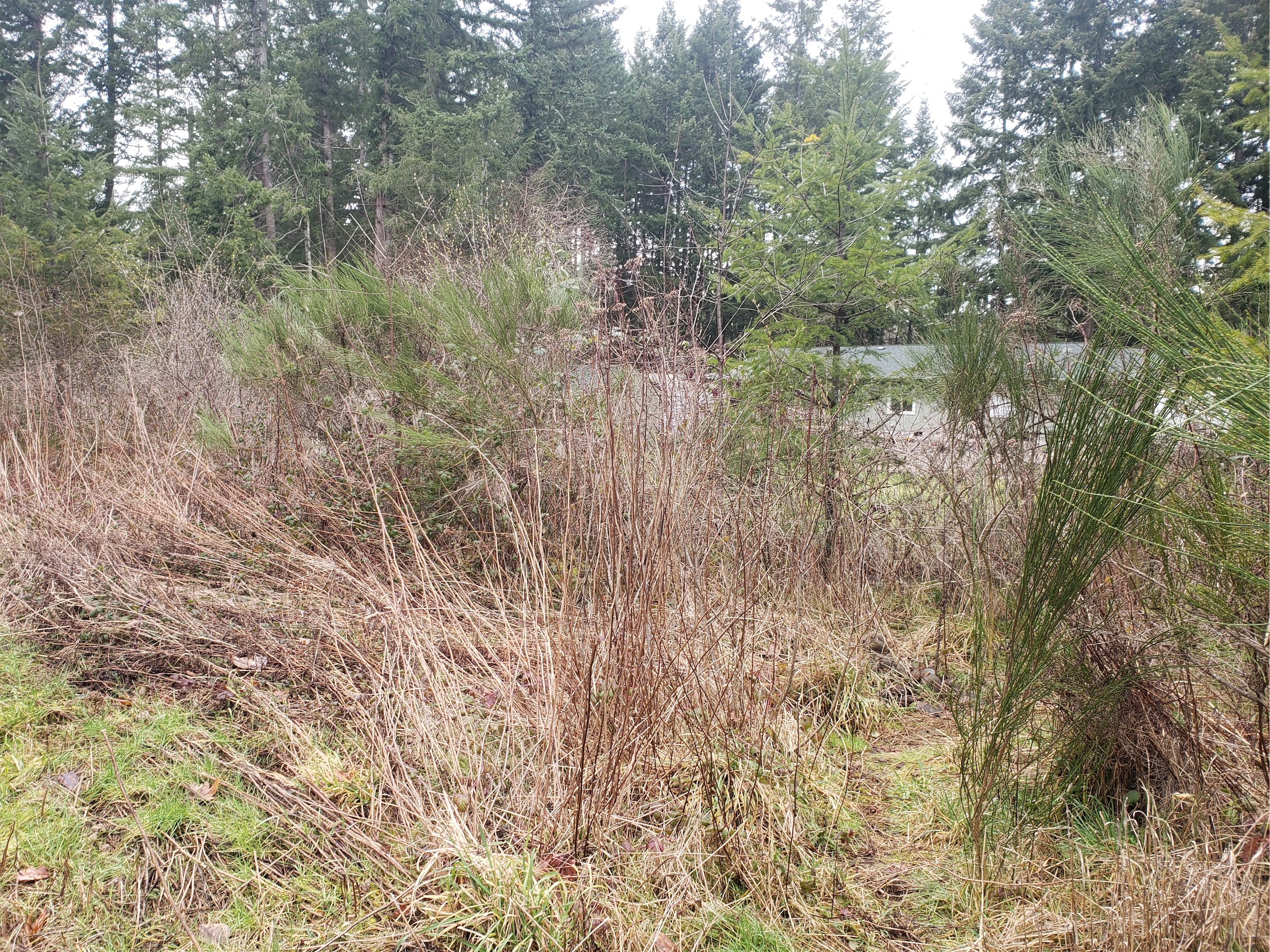
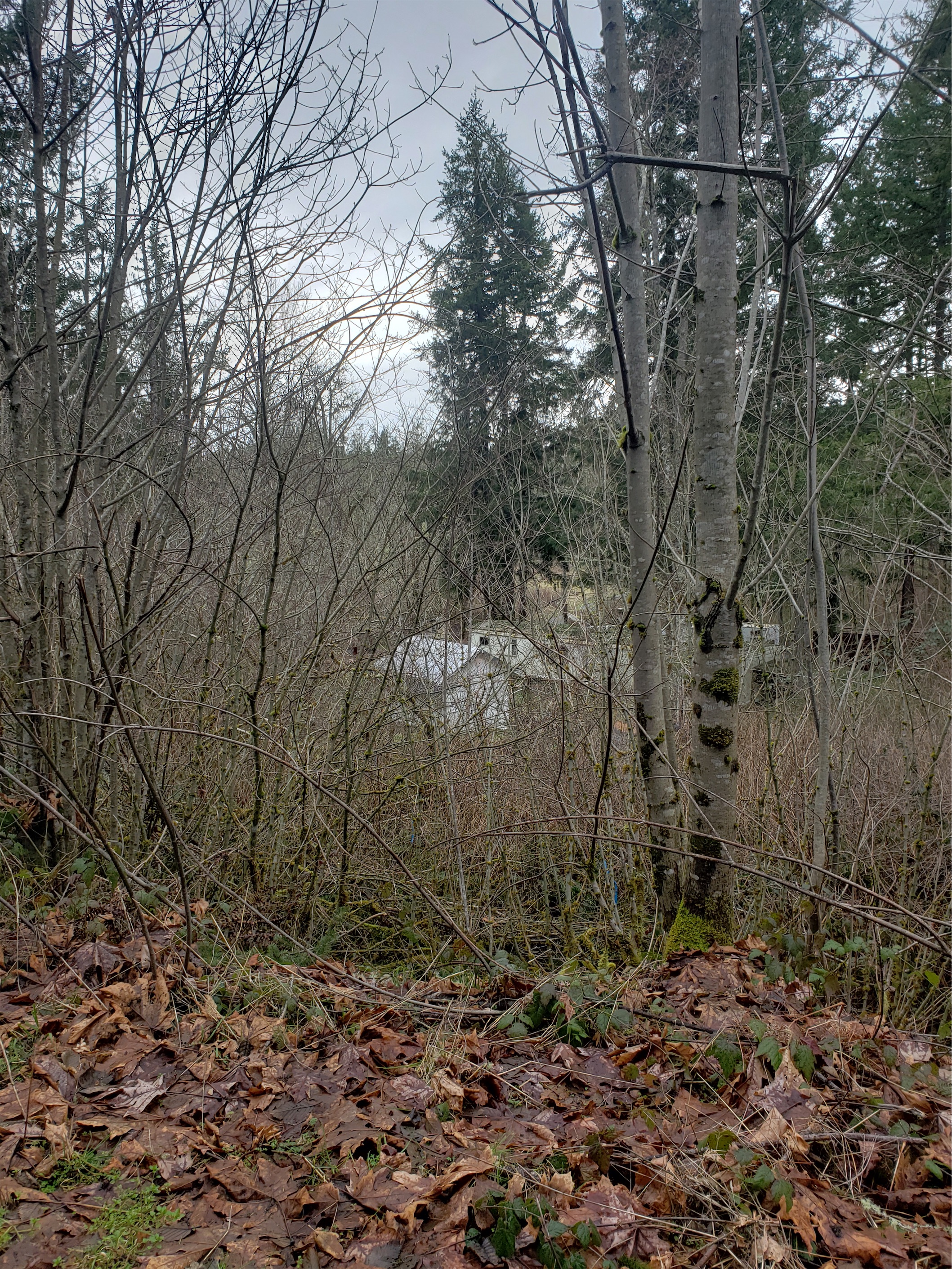
We walked across a field (new red sign “falls —>”) went left/counterclockwise around a pond (another sign “falls —–>”), and popped out onto a Weyerhauser road (signed), which we followed for what felt like forever (with more signs). Our new friends knew this route, and had just been following us hoping for something shorter and faster. We unfortunately soon left our new friends behind as they took a break, though we got the advice “you’ll cross a bridge and then the trail will be right there!” which kept us from doubting ourselves too much as we passed backyard after backyard after backyard and no signs and more backyards. Infinite backyards. Twilight zone levels of gravel road and backyards.
We eventually came on a small waterfall between backyards. “Is this it?” I asked. Did I drive all the way here for a small waterfall mostly covered in brush off of a gravel road? “We haven’t crossed a bridge yet, so let’s keep going? And given the signs… it’s probably signed?” And the WTA description definitely mentioned a trail eventually. And there was supposedly 500ft of elevation gain somewhere in there. So we kept walking. “This feels like the Burke Gilman.” My expectations were getting lower and lower. I hoped Amber wasn’t disappointed. Still a change of scenery, a break from Seattle, a walk with good company, and finally… was that a sign?! A trail sign!? Just before a bridge? YES! And we turned onto a real trail!
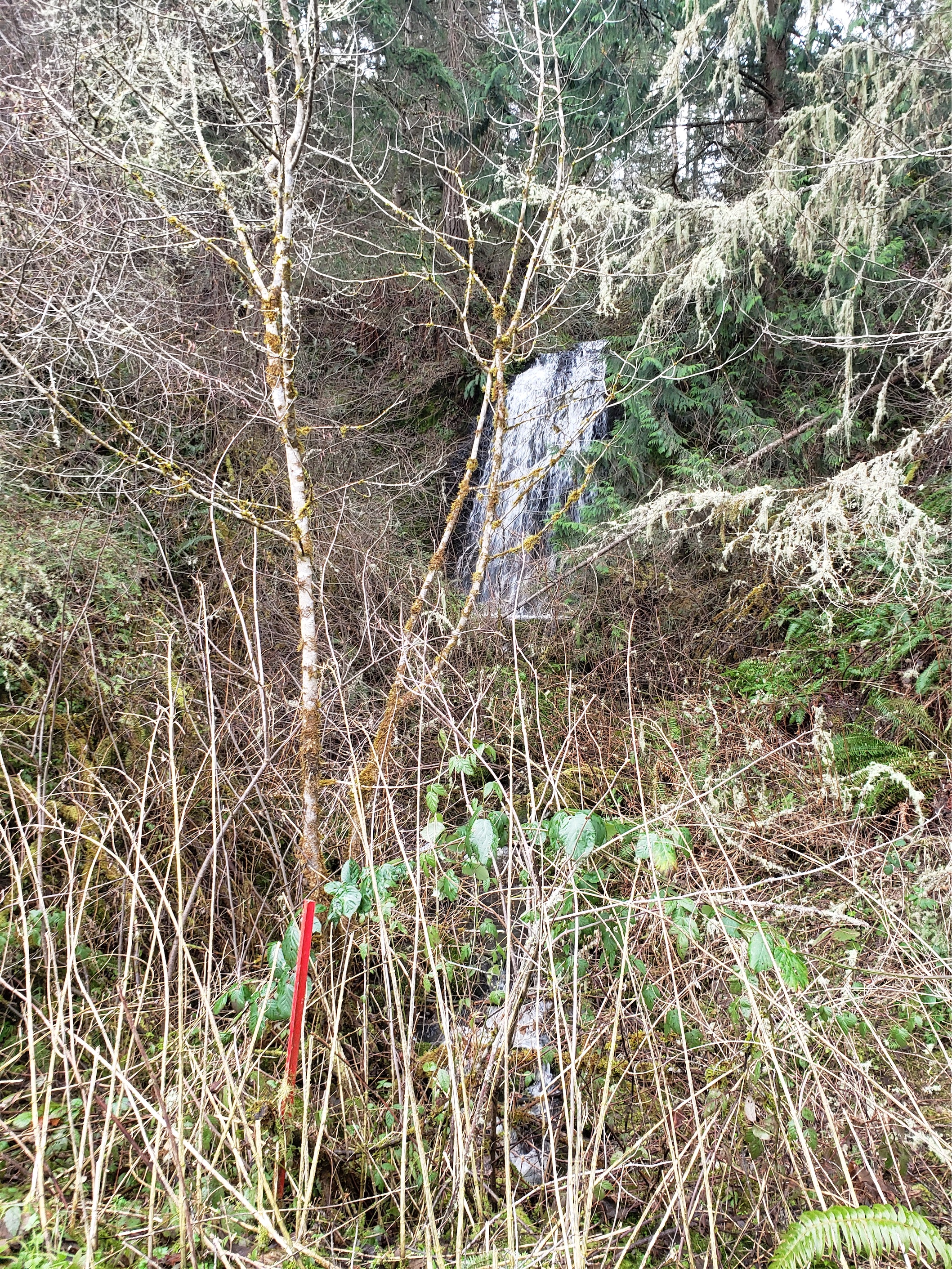
The real trail was 70% mud, and we had neglected to consider that you gain all of the elevation in the half mile to the falls. It’s slippery, and surprisingly steep, but it finally felt like we were in the wilderness and not on a logging road paralleling a highway.

START WITH THE UPPER FALLS. Because they were the most anticlimactic/least climactic. Stay on the main trail until you come to a junction with a small creek running to the right of the trail, and head left. Most of these were signed. The falls were pretty big, and in summer they might be cooler because you can log hop or wade the river to get a closer view. We didn’t want to negotiate a very slippery wet 12″ diameter barkless log to reach the island with the (maybe/probably superior view) so we settled for obstructed viewing.
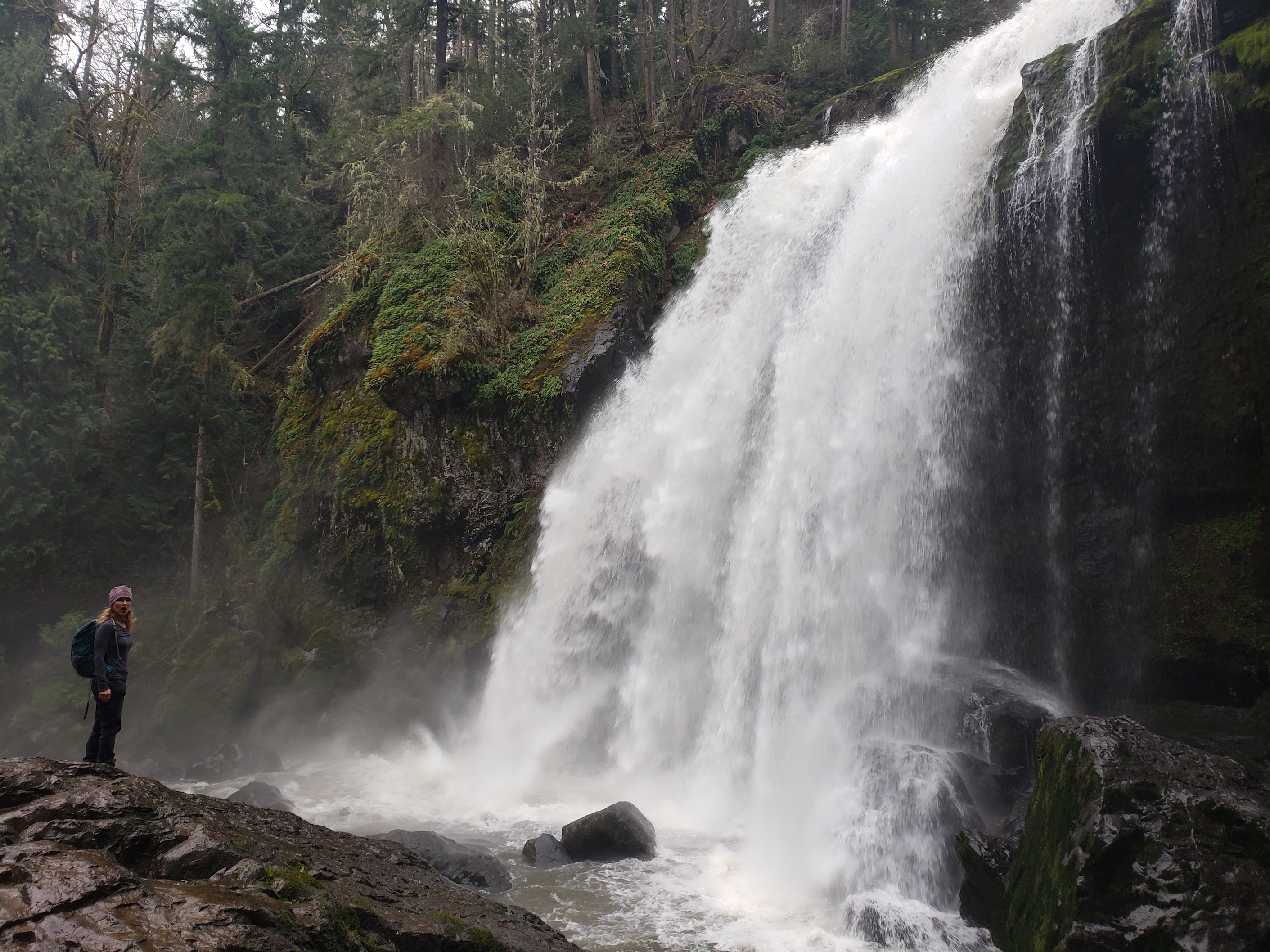
The middle falls are the best. SUPER slippery, lots of mud and wet rock, but they funneled most of the water into one central fall (unlike the upper fall, which had many routes) and it was POWERFUL. You could see the mist blowing through the air and feel it thundering. Next to it was a slimmer lace-like fall, looking all dainty and delicate next to the main event. We hiked down laughing with excitement, along with two other equally stoked women. After the upper falls, the middle falls were so close and so awesome. I had brought my new camera, ready to practice waterfall pics, and triumphantly took it out only to turn it on and see “battery exhausted.” I was going to practice with my new tripod, but I guess.. not anymore. Not Today! I snuck out two pics before it died all the way. No time to change settings or reframe. Rookie mistake. I was hoping to get a pic of the more delicate falls out of frame too.

You can also walk behind the middle falls! There was so much water flow that we couldn’t get all the way behind the main fall, but we could sneak around the daintier fall and get pretty darn close. Amber (smart woman) put on her rain coat so she wouldn’t get soaked, I just risked it. The temperature must have dropped 10 degrees when we got close to the water. Apparently in summer the fall is only like four feet and you can go all the way behind it and even dunk your head/body into it, but that would have been insane with today’s volume. We figured this had to be the best part, there was no way the lower falls would be this good.

Surprise! The lower falls were pretty damn good too. We met two happy dogs, I thought Amber wiped out because she was covered in mud somehow (she didn’t wipe out… “I wish I had wiped out, because then I’d have an explanation for all of the mud”), I managed to sneak two more pics on my trying-to-die camera before we headed back uphill to the main trail. That’s the only downside – the side trails to the falls (besides the upper) were downhill, so you had to regain elevation to get back. Oh, and did I mention the slipperiness? It’s actually pretty impressive neither of us totally ate it at some point. Or lost a boot to a sucker-hole of mud.
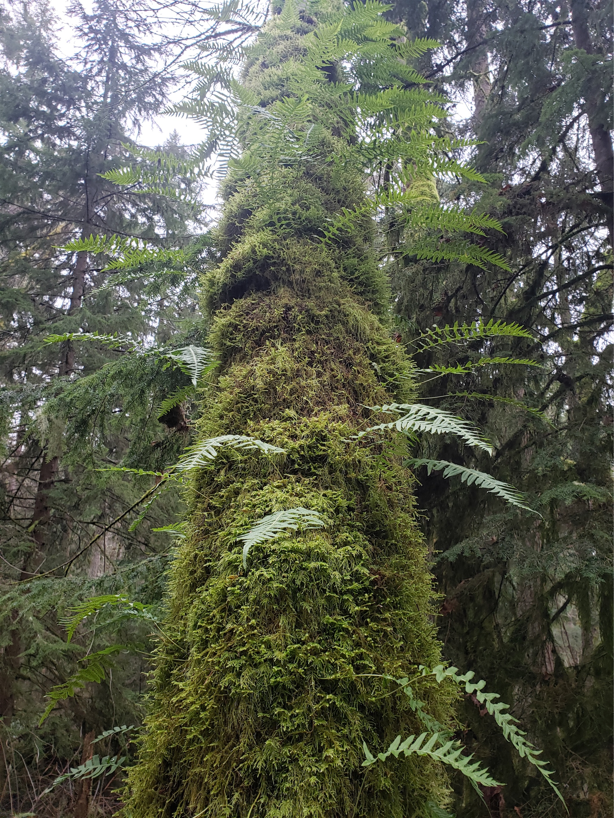
I’m honestly surprised there weren’t more people here. Multiple access points, huge beautiful falls, only 500ft of elevation gain, 90 minutes from Seattle, dog friendly, where was everyone? It’s so accessible and quite beautiful and green despite being young growth, at least once you’re done walking past everyone’s backyards. And perfect for a rainy winter day. Or if you figure out the alternate route. In which case let me know because maybe I’ll go back with a fully charged, very much alive camera to actually frame some long exposure shots!


Last spring, Eve, during the first COVID months, 500 hikers were showing up each weekend at the falls, parking illegally and sometimes blocking traffic in town. Glad to hear that has changed!
LikeLike
Just did the falls trail a few weeks ago on my way back from snowshoe at Rainier – did not expect much but they were gorgeous (well, the sections you mention anyway 🙂 Happy hiking!
LikeLike