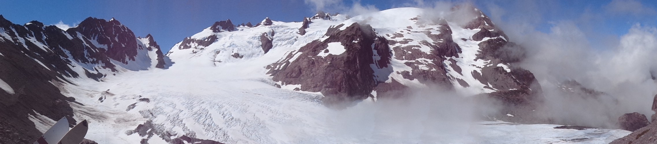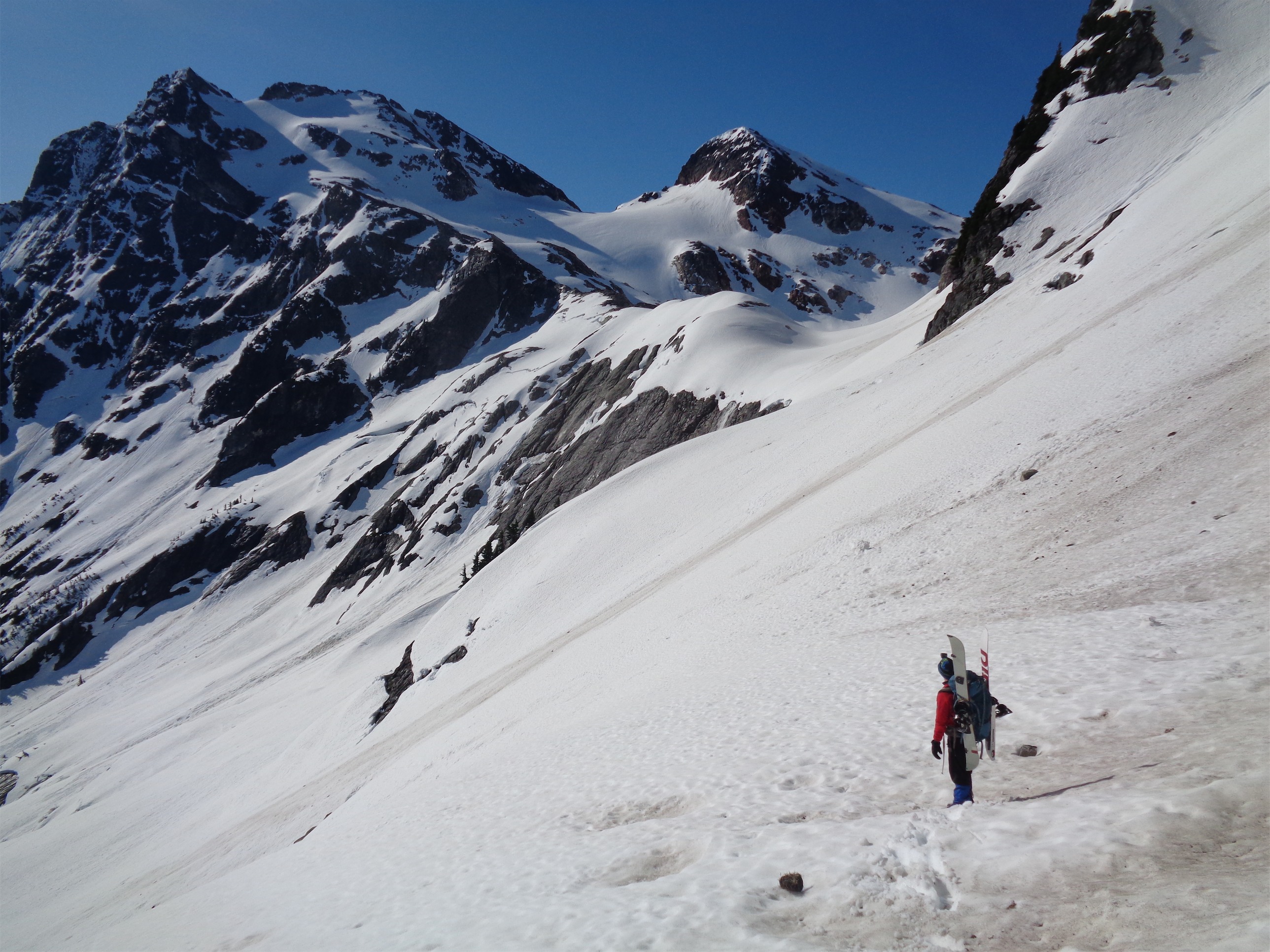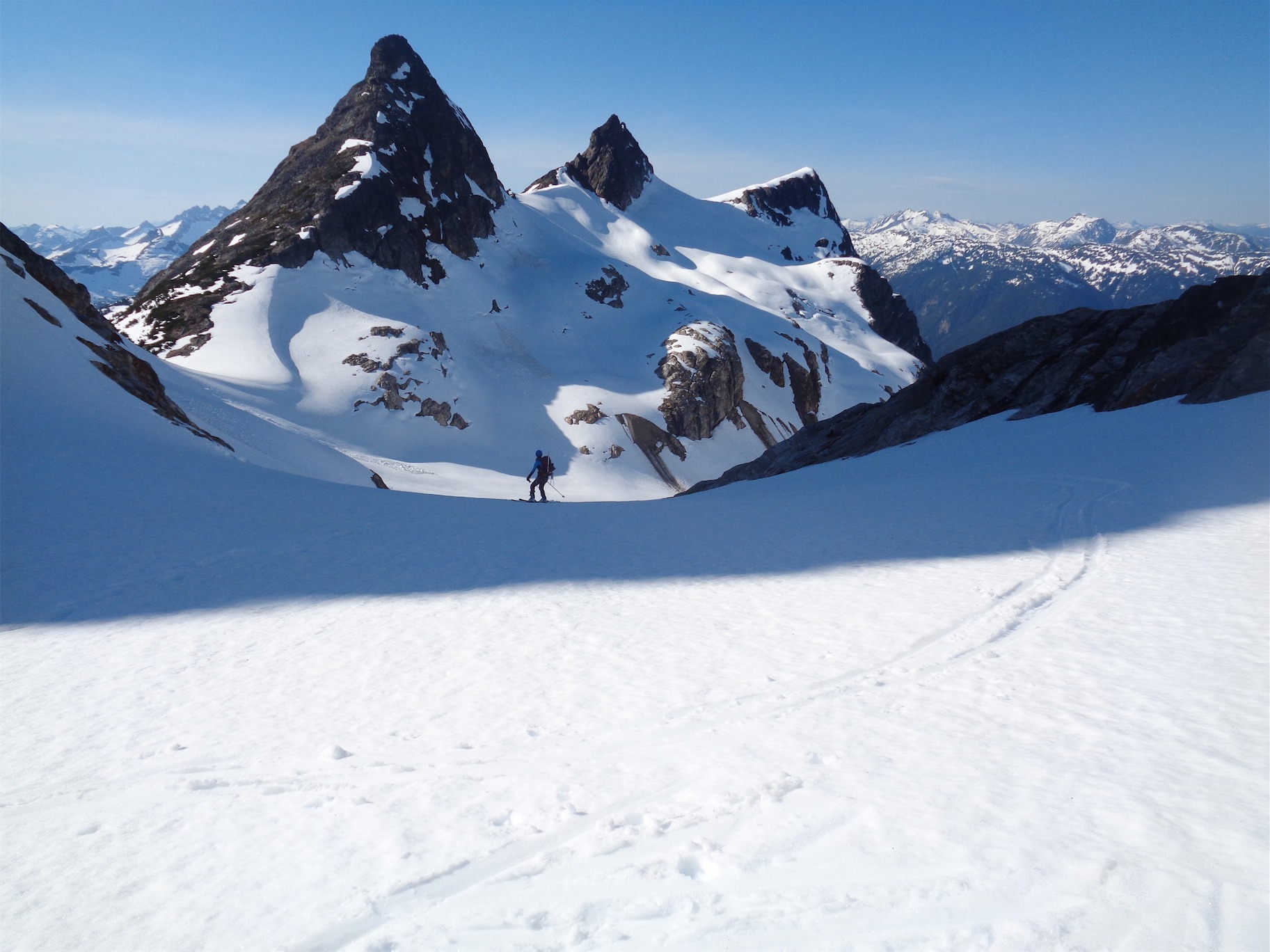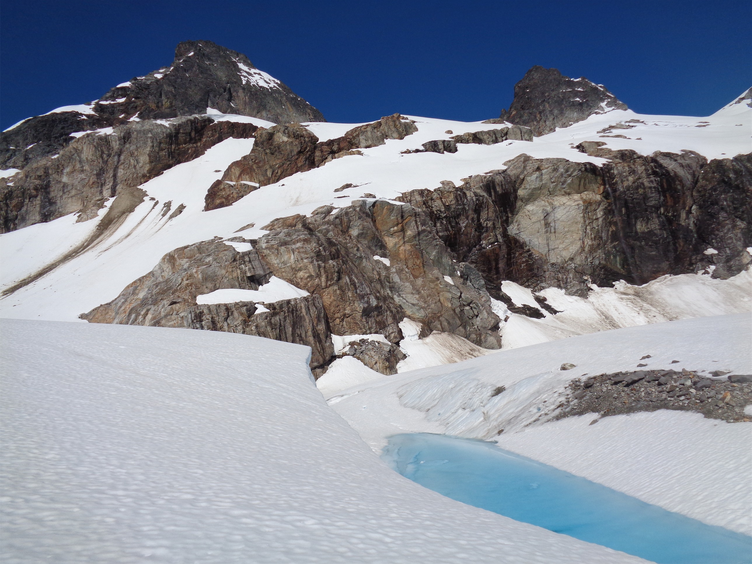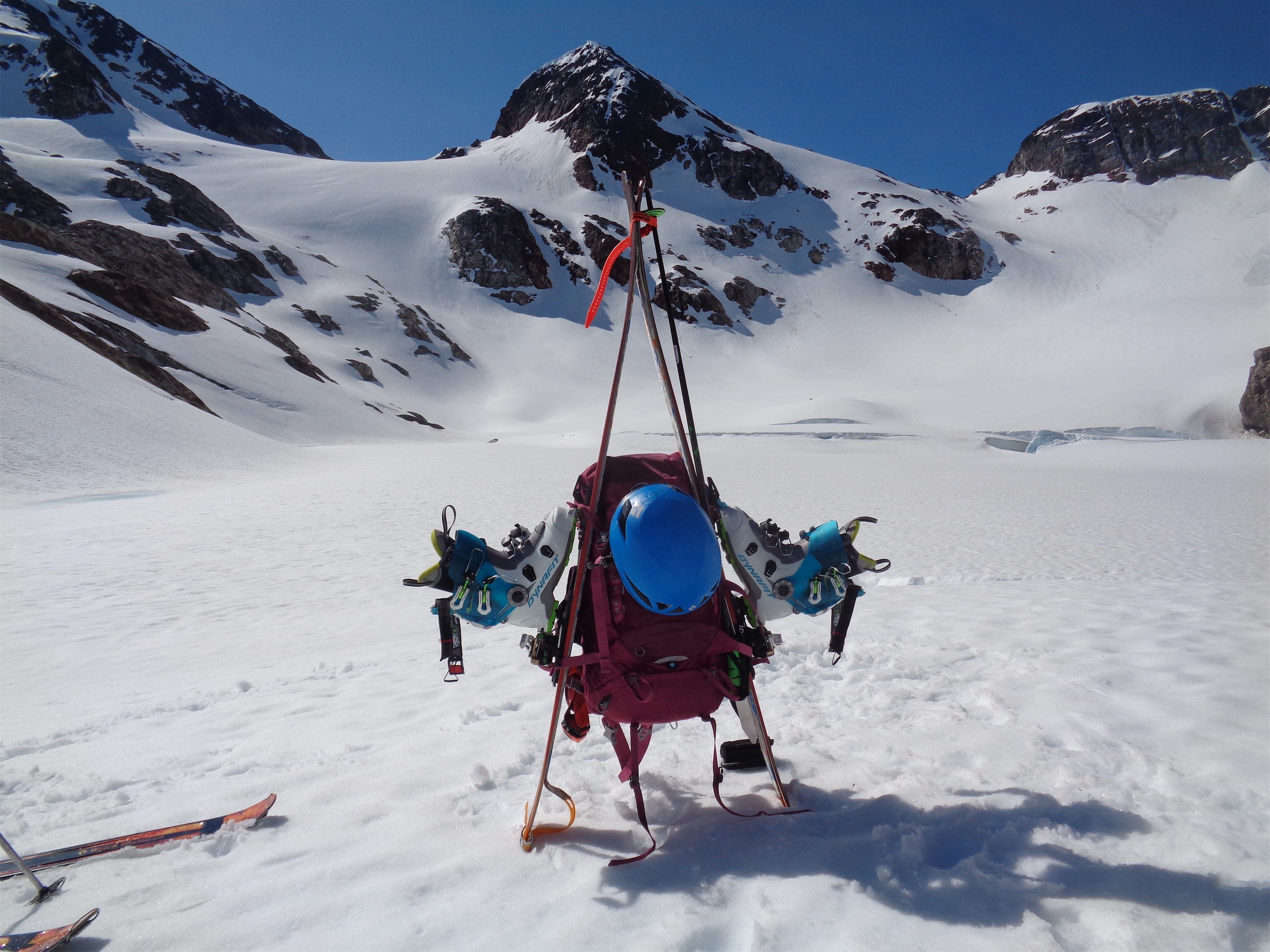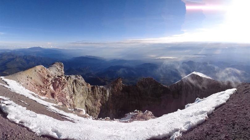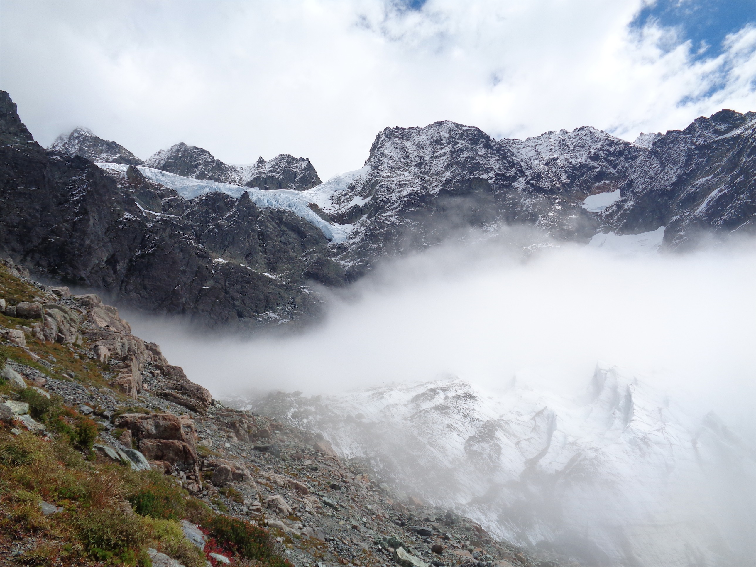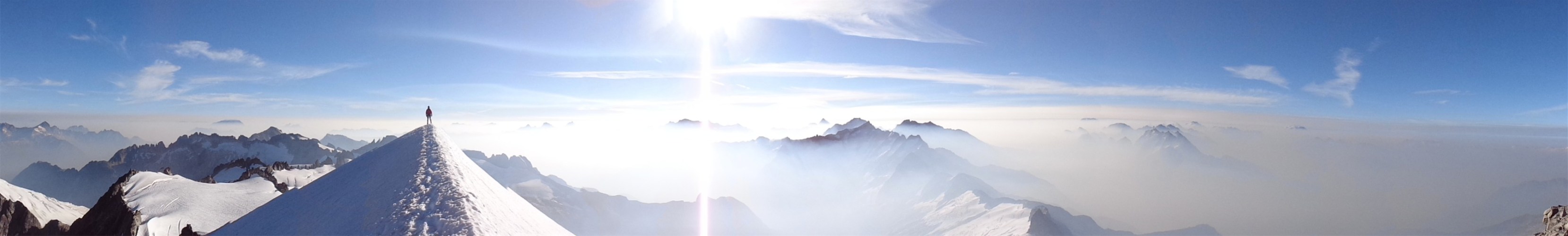
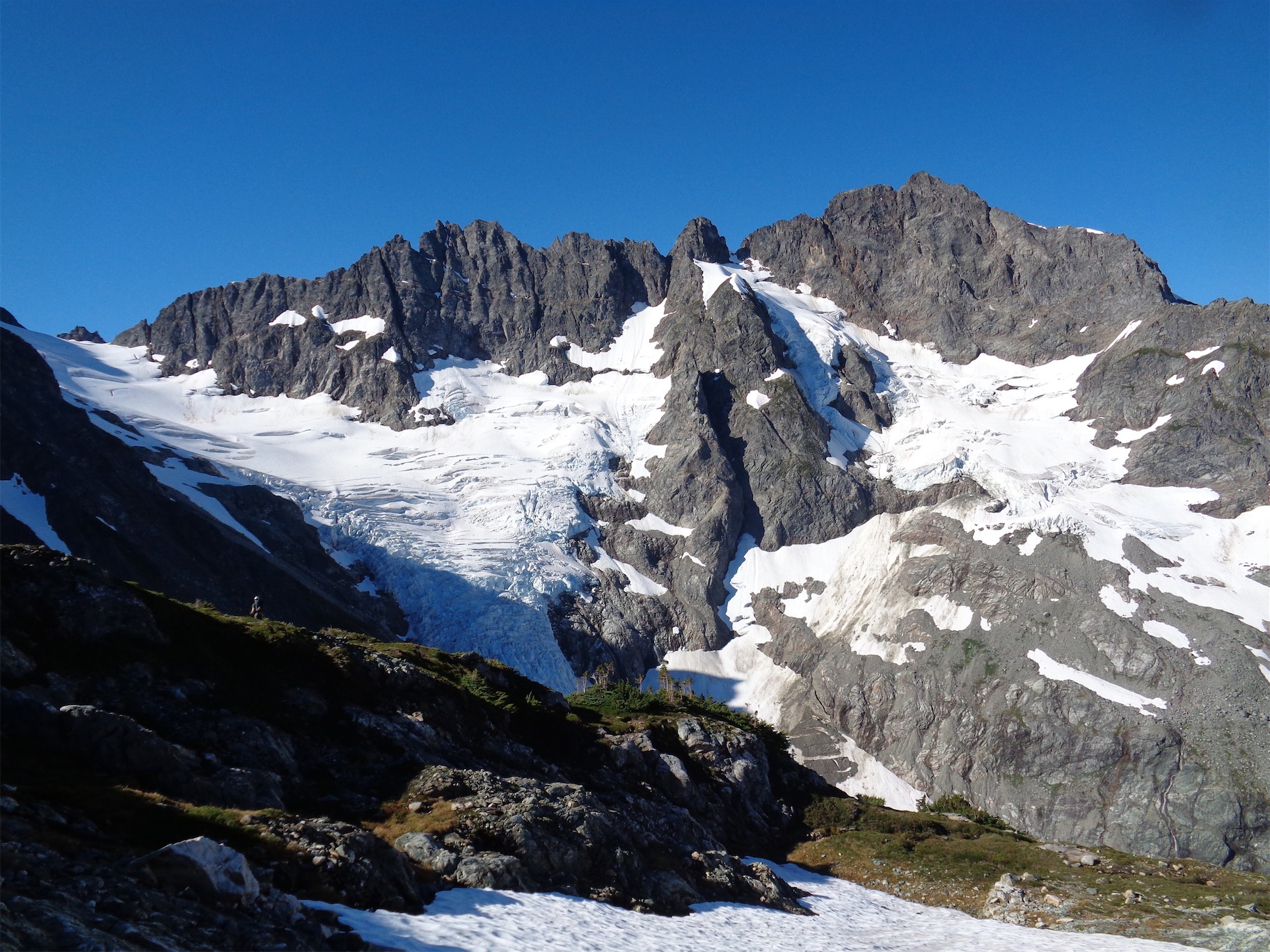
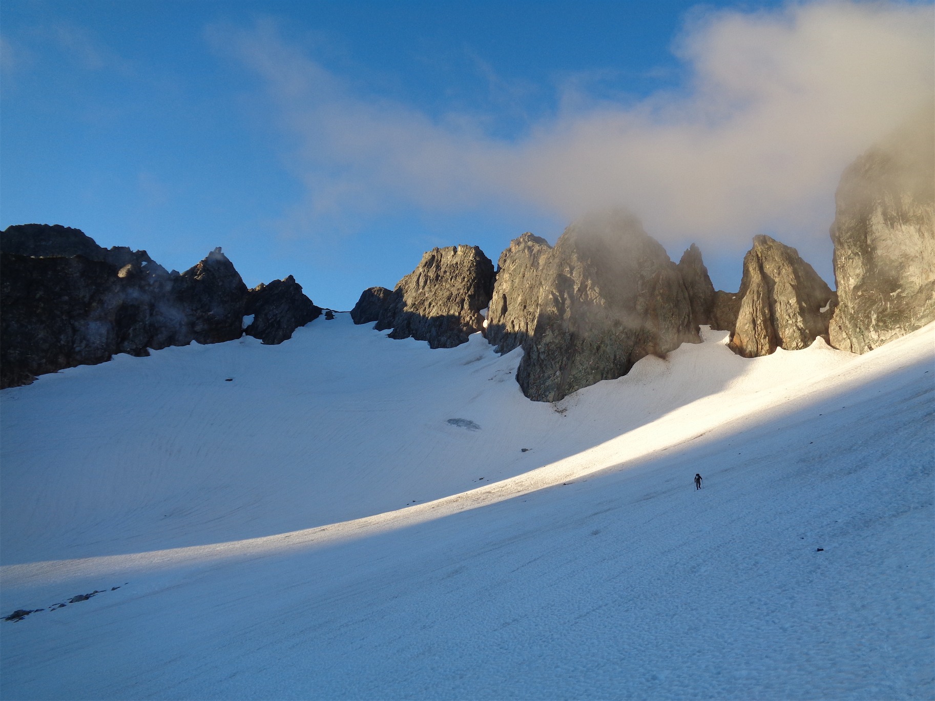
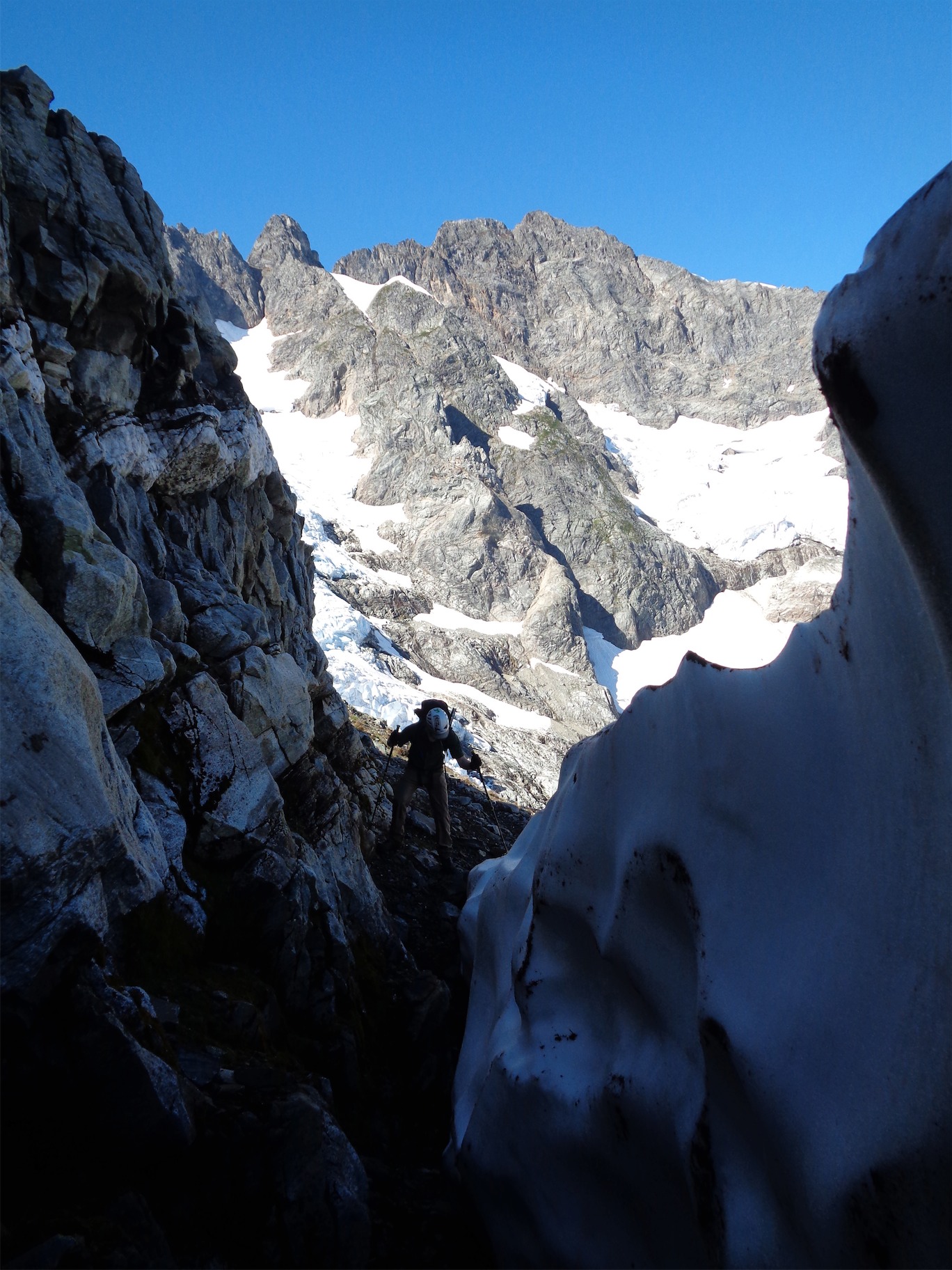
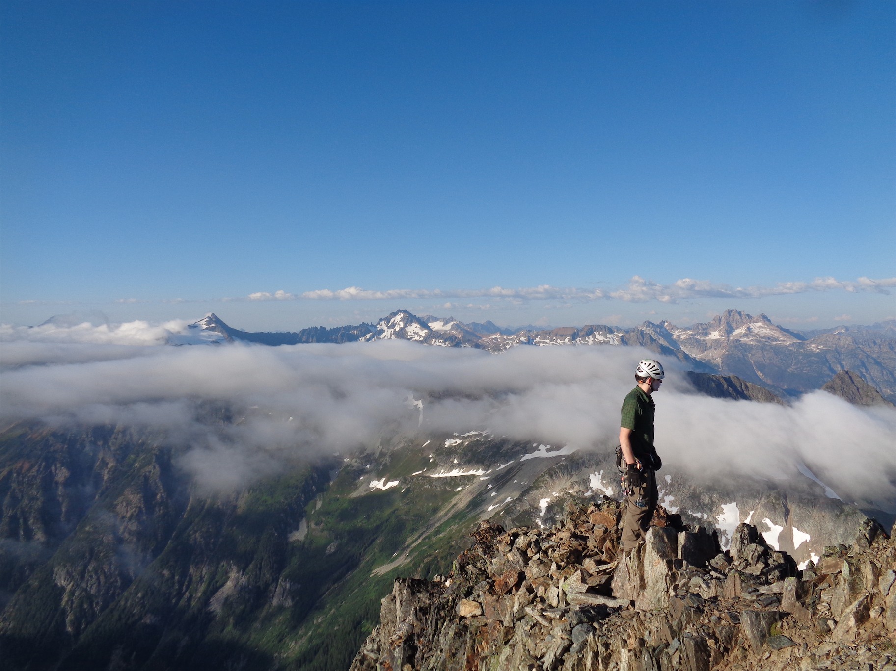
The NE Face of Formidable, JT bottom left for scale

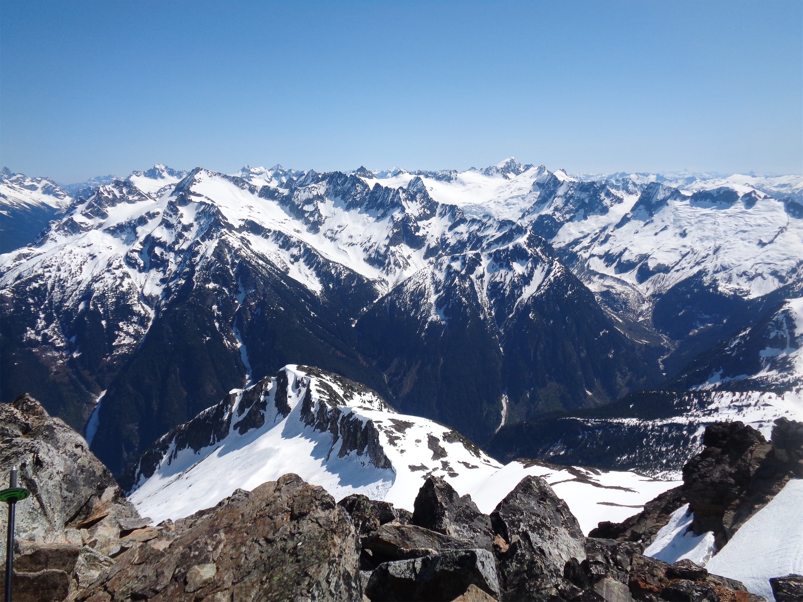
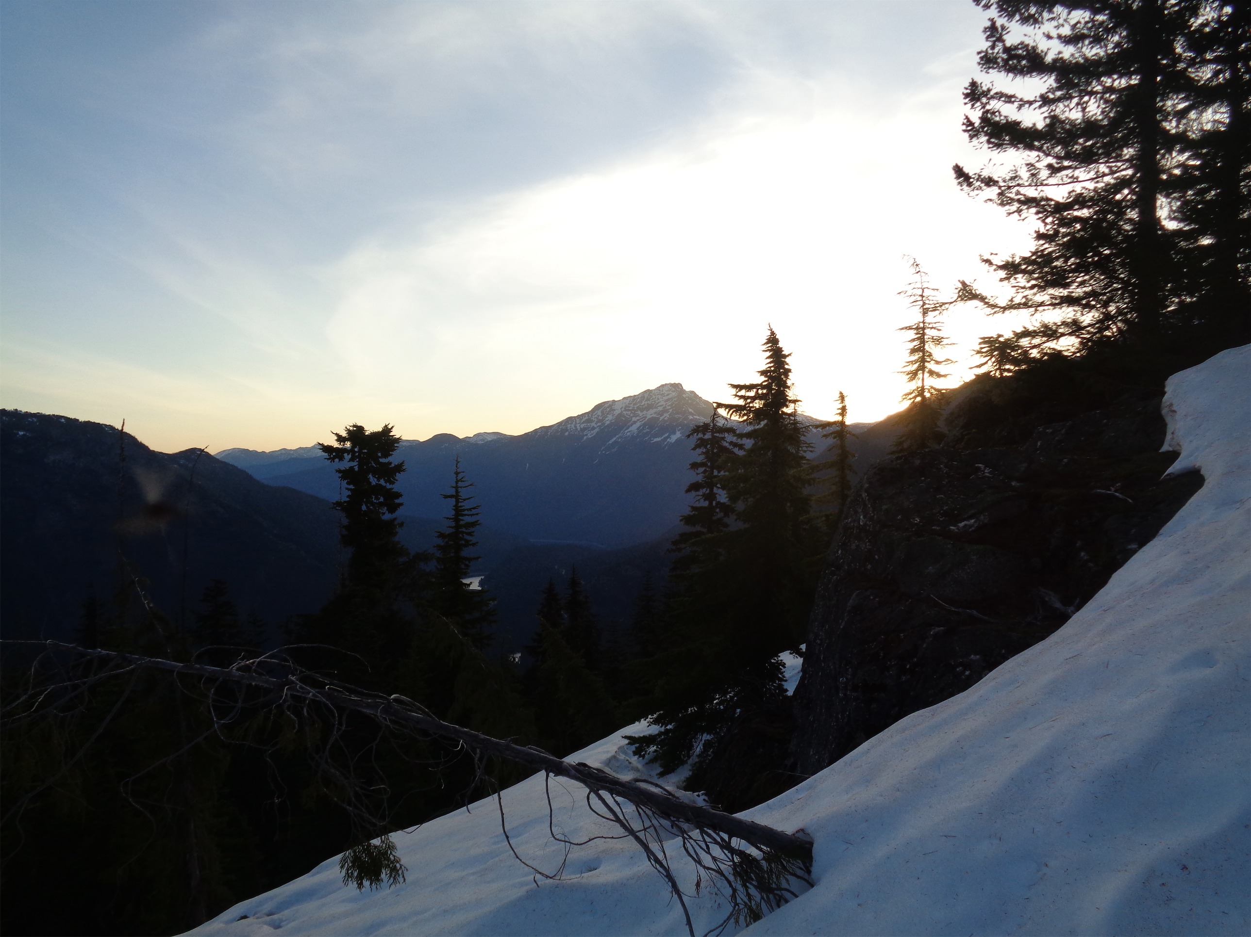
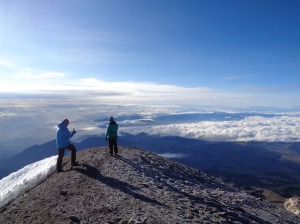
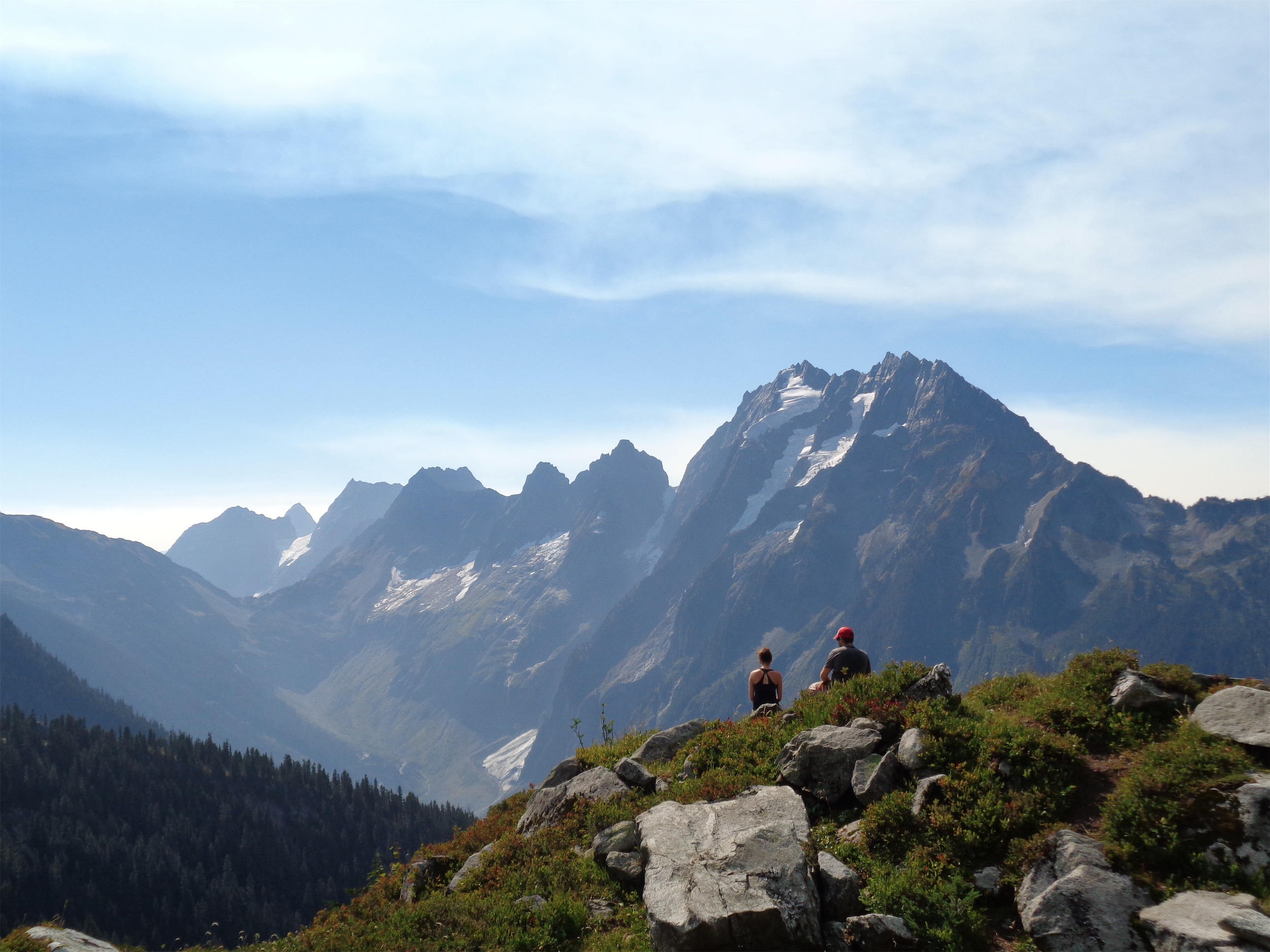
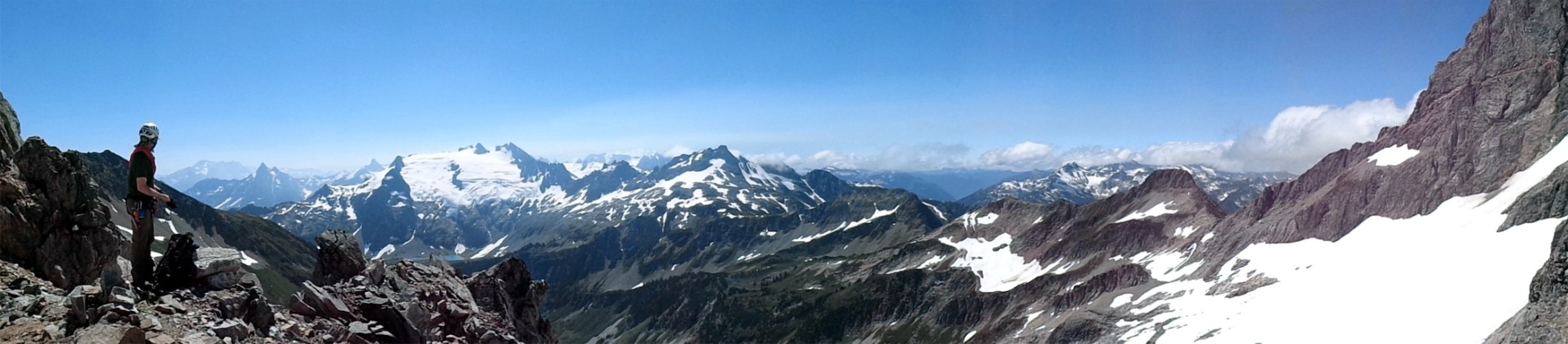
The southeast side of Johannesburg, Cascade Peak, and snowy Eldorado framed by the Triplets and Mixup Peak
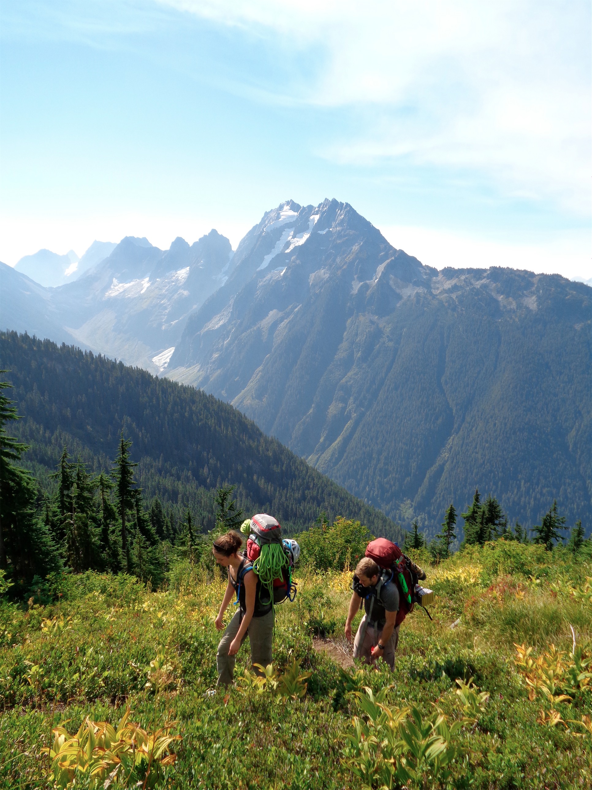
The title is an understatement, but I had to get the peak in there somehow. This came to fruition on a Thursday night, when I had three realizations. 1) JT was back for just the weekend, 2) we had a 24ish hour weather window on Saturday 3) I was going crazy after not really doing anything for the entirety of July and JT felt similar. Oh, and I have this ridiculous list of peaks I wanted to bag that would likely be absolute sufferfests, and that’s what I usually pitch to Sam and JT. Unfortunately, Sam’s getting tan surfing and relaxing and not suffering (besides the FOMO I imagine this will give him) on the east coast, so JT and I decided to be a two man team and see just how thrashed we could get.
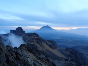
Mt. Formidable has a taunting (or daunting – little column A, little column B I think) face with an 5.6 line up the NE side, which you stare at as you hike the Ptamigan Traverse. Usually you look at peaks and think “shit ,that face is ridiculous, the route must be on the other side.” Well yeah, the standard route is on the other side, but we were eyeing this route. Could it be done in a day? No on had done it in a day before (spoiler alert: we also did not do it in a day). But we figured we’d give it a shot with an alpine start Saturday morning and a deep understanding and resignation that we might be in for a shiver bivvy that night. Bivvied 8/7/2016, gotta start listing dates since I’m so freaking behind in blog posts. I even skipped one to write this one! Jeez.
- Distance: 24 miles? Honestly not sure
- Elevation: Also not sure. Net ~5000ft gain (8325ft highest point) but you gain 3400ft to Cache Col, lose 800ft to Kool Aid Lake, gain another 1200ft to Spider/Formidable Col, drop 600ft again to heather ledges, and finally gain the last 1300ft to the summit. Sneaky elevation.
- Weather: 40’s and foggy, 60’s and sunny
- Commute from Seattle: 3 hours. Cascade River Road takes forever. At least JT doesn’t drive like a granny (I do).
- Did I Trip: You know what? Not really. No faceplants. I did slide 15ft down some scree at 4am when we were off route though, that was a rough start.
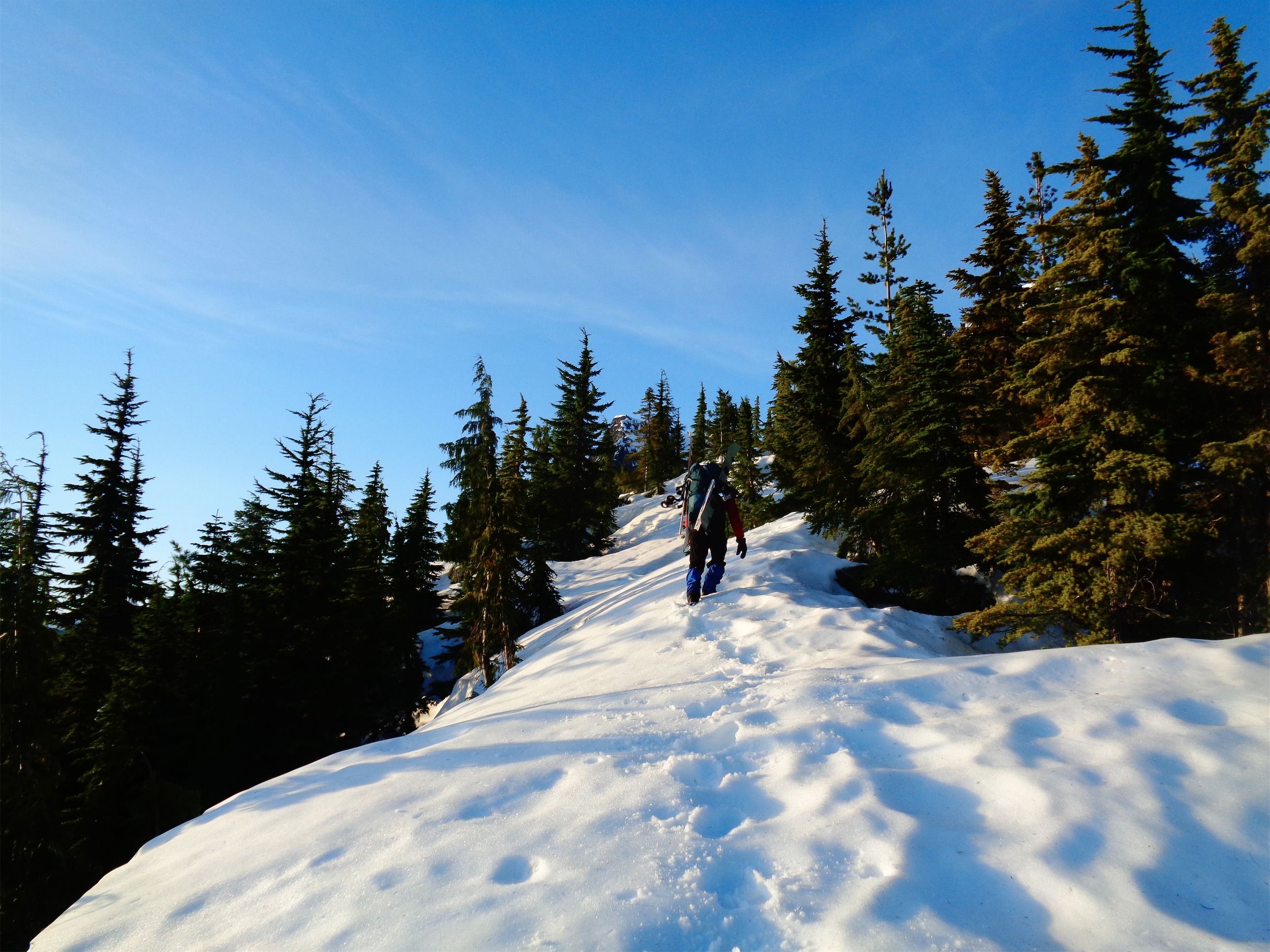
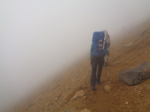
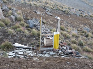
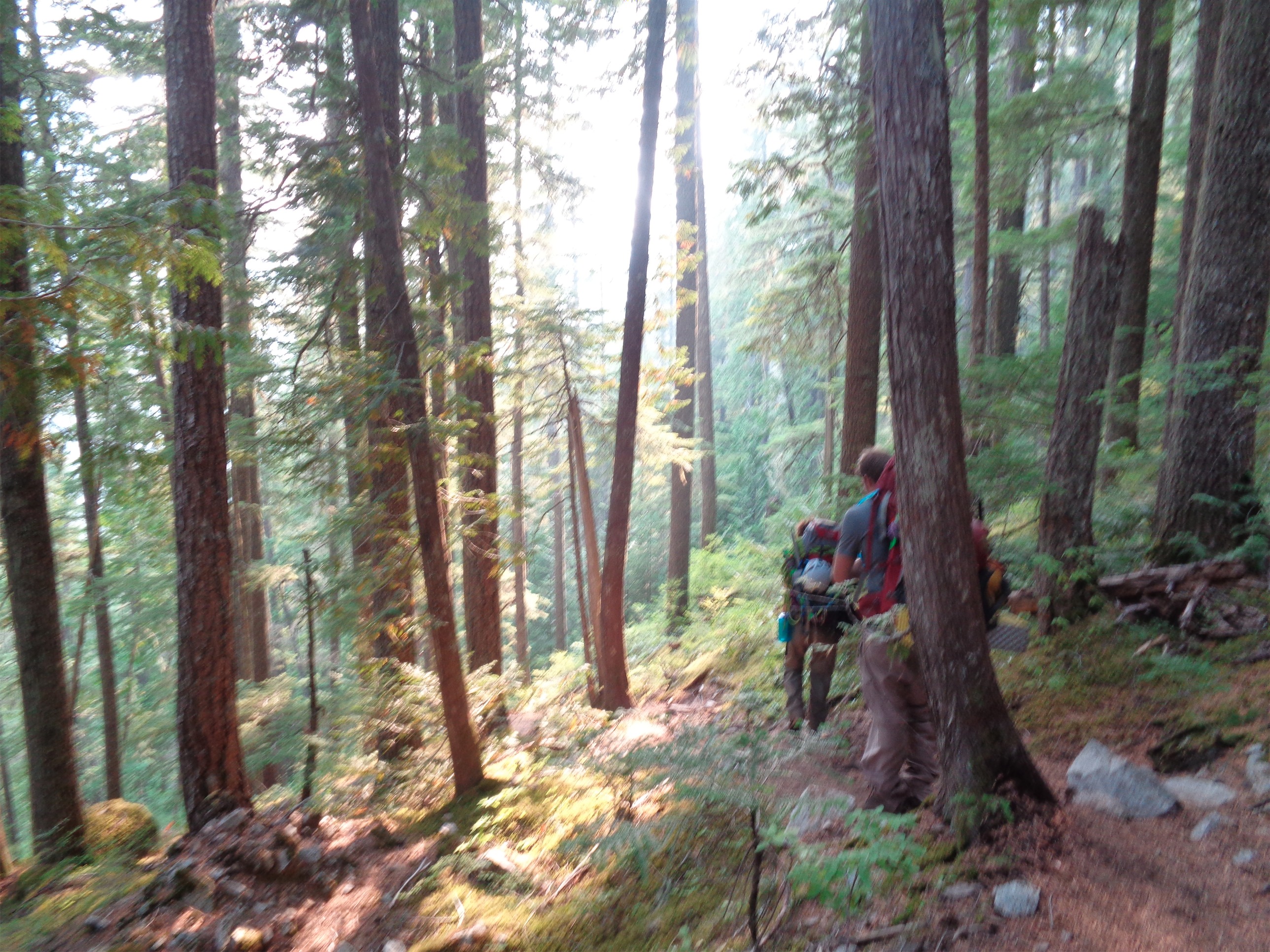
Awkward icy sidehilling without crampons
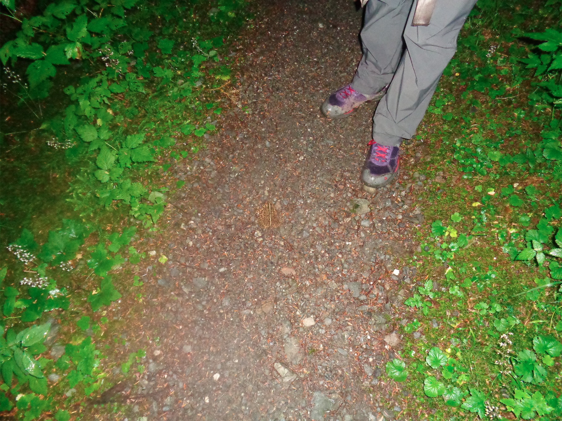
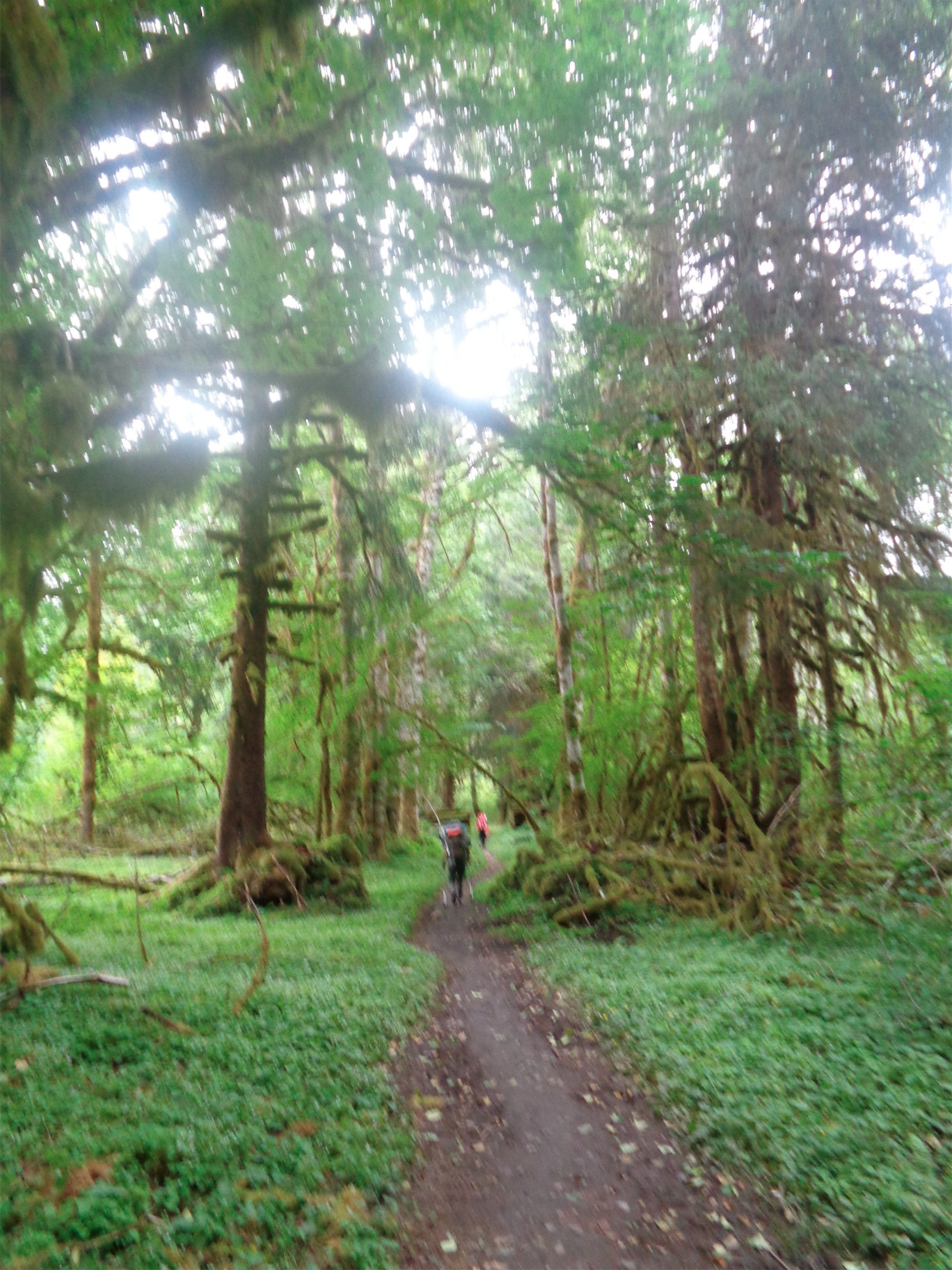
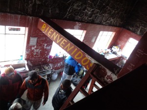
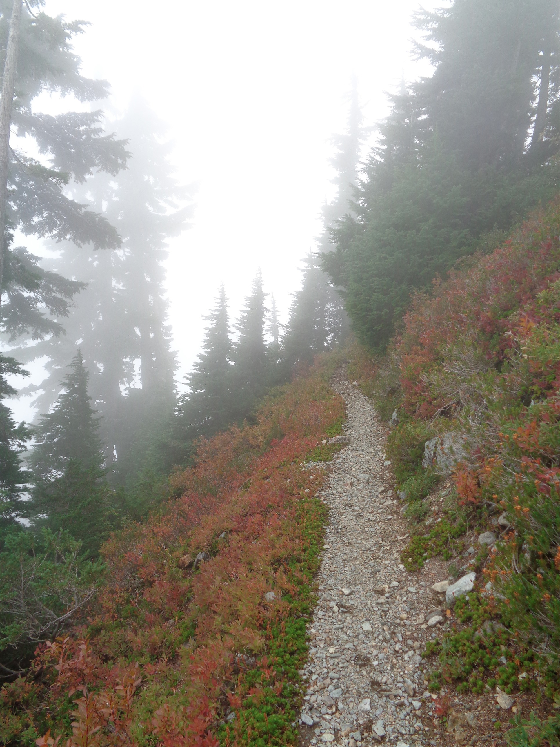
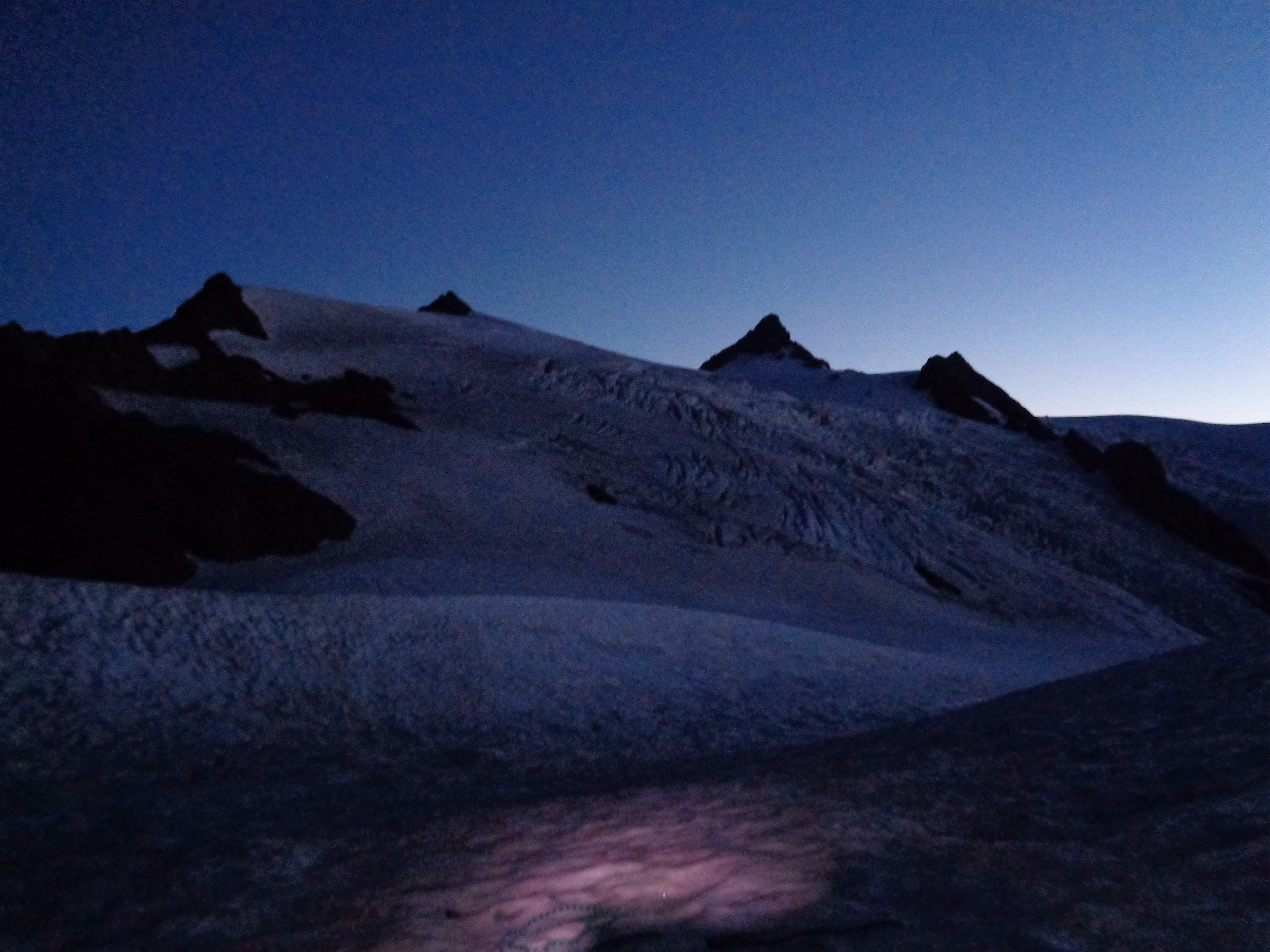
I dragged myself out of my parking lot bivvy at 2am, admired the stars above Johannesburg and Cascade Peak and the Triplets, gave JT my extra socks (he had only brought cotton, and cotton is rotten) and we started up the Cascade Pass trail. Summitpost describes the trail as “stupidly inclined,” which is appropriate. You don’t even know you’re going up. What that means is… switchbacks! 36 of them, to be exact. Woo! But nighttime is a time warp, so suddenly the switchbacks were over and we were at the pass! Fog rolled in almost immediately and I started to get discouraged. We followed our GPS track up another 1,000ft or so, and then started to traverse the scree and snowfields over to what we thought was Cache Col.
Forbidden, Sahale, and Buckner with clouds spilling over Cascade Pass
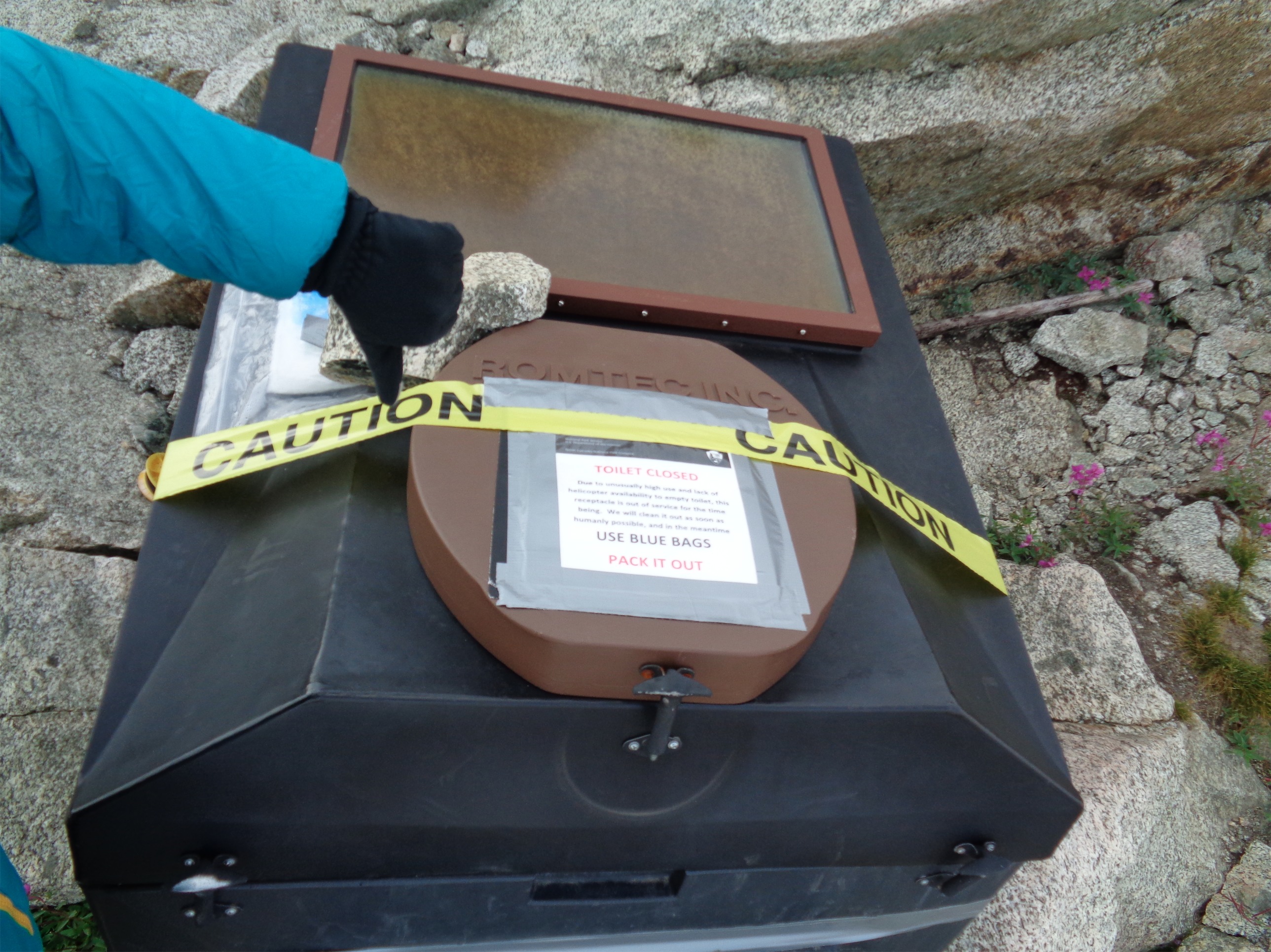
Well, we had two realizations as the fog cleared and the sun rose. 1) we were several hundred feet above the standard route, which has a nice pleasant bootpath. When you hit Cascade Pass, go right, and near the toilet sign, go left. That’ll take you on a rising traverse to the col, instead of the mediocre sidehilling we got to enjoy. 2) Snowfields are icy at 4am. 3) Scree sucks. We struggled through it, wasting maybe an hour crossing frozen snow while the two runners below us probably laughed (or worried, depending on how nice they were and how clumsy we looked).
The real Cache Col. Suckers!
We eventually made it to the gap, only to look ahead at what was actually Cache Col, across a glacier hidden by the terrain. Good start. The glacier is quite mellow though, and we were able to make quick work of it after losing a few hundred feet of elevation and regaining even more. Behind us were clouds spilling over Cascade Pass, with occasional peeks of Eldorado, Boston, and Sahale. From Cache Col you get your first glimpse looking south at Formidable (yes!) and it’s a line of sight path to Kool Aid Lake. Which requires you to drop another 700ft, and drops you onto endless fields of unpleasant talus. RIP my ankles.
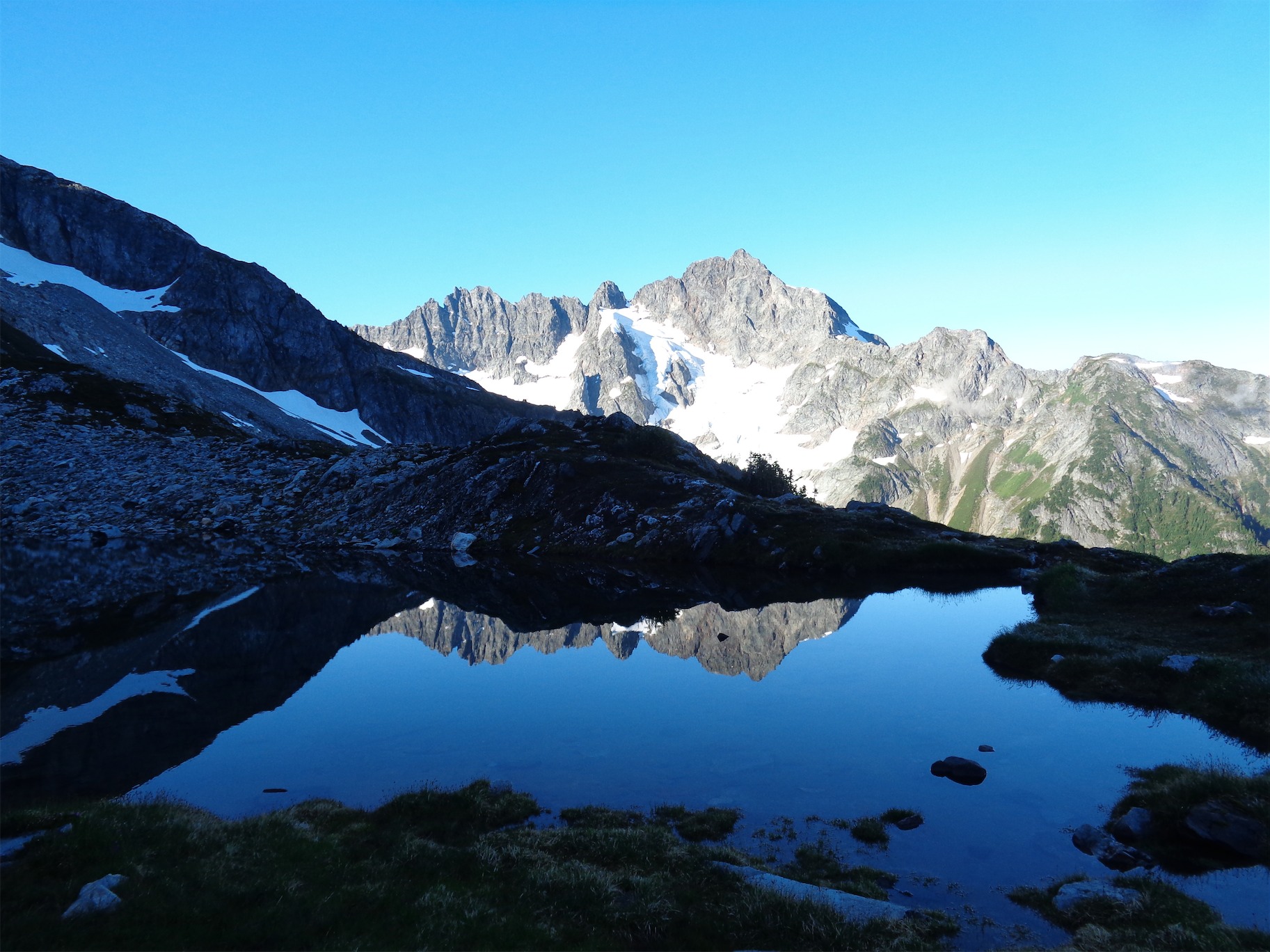
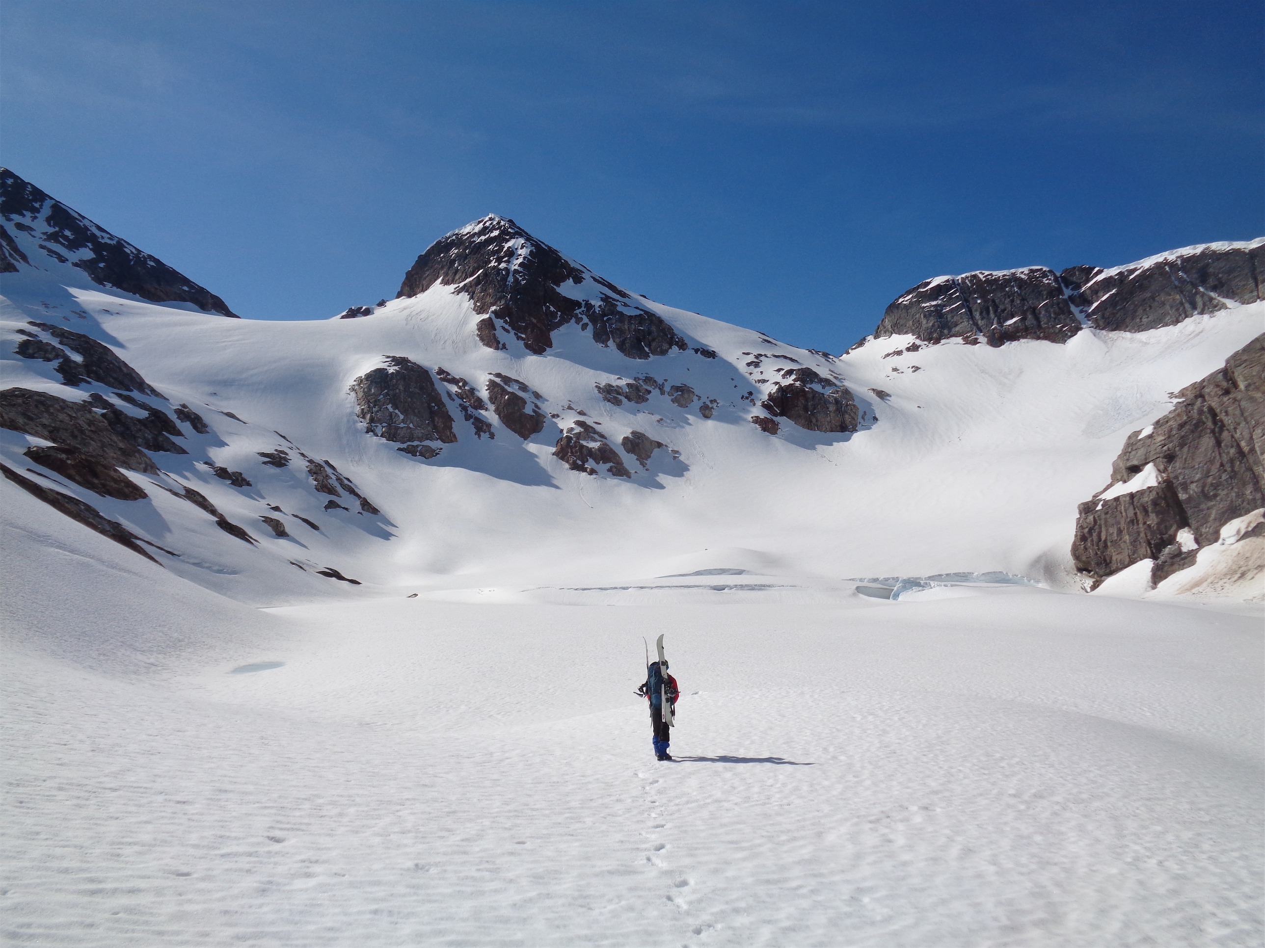
Formidable over Kool Aid Lake
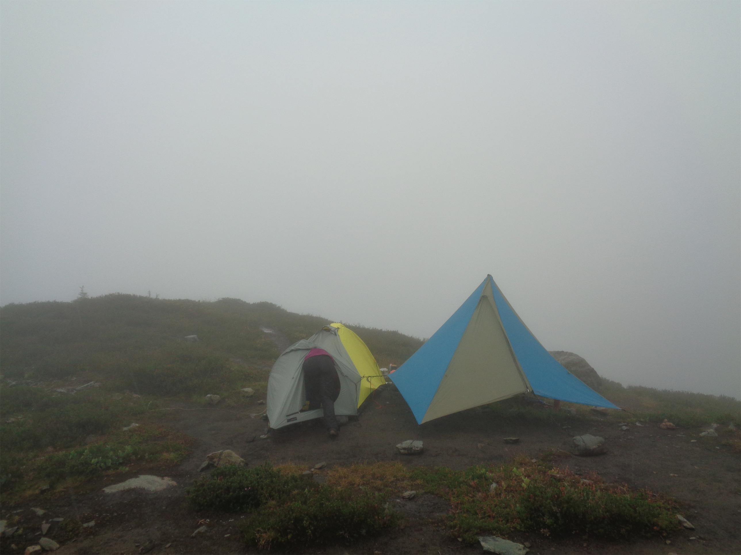
At Kool Aid Lake we saw the only other group we’d see for the rest of the trip. Well kind of, we saw their tents but they were asleep. Ah, to sleep in on a climb. What a dream. We kept moving, eager to get to Red Ledges since it would mark our turn off to drop onto the Formidable Glacier. Plus, Kool Aid Lake had been unimpressive. We crossed heather benches, more talus fields, more snow patches. The red ledges are very obvious, a scar of red rock cutting through the cliffs. It looks ridiculous from afar, but as you get closer, there’s basically a trail along them. We dropped down into a moat, pulled off some nifty third class scramble moves to get to the ledge, and scampered over to the other side where the trail continued.
Red Ledges
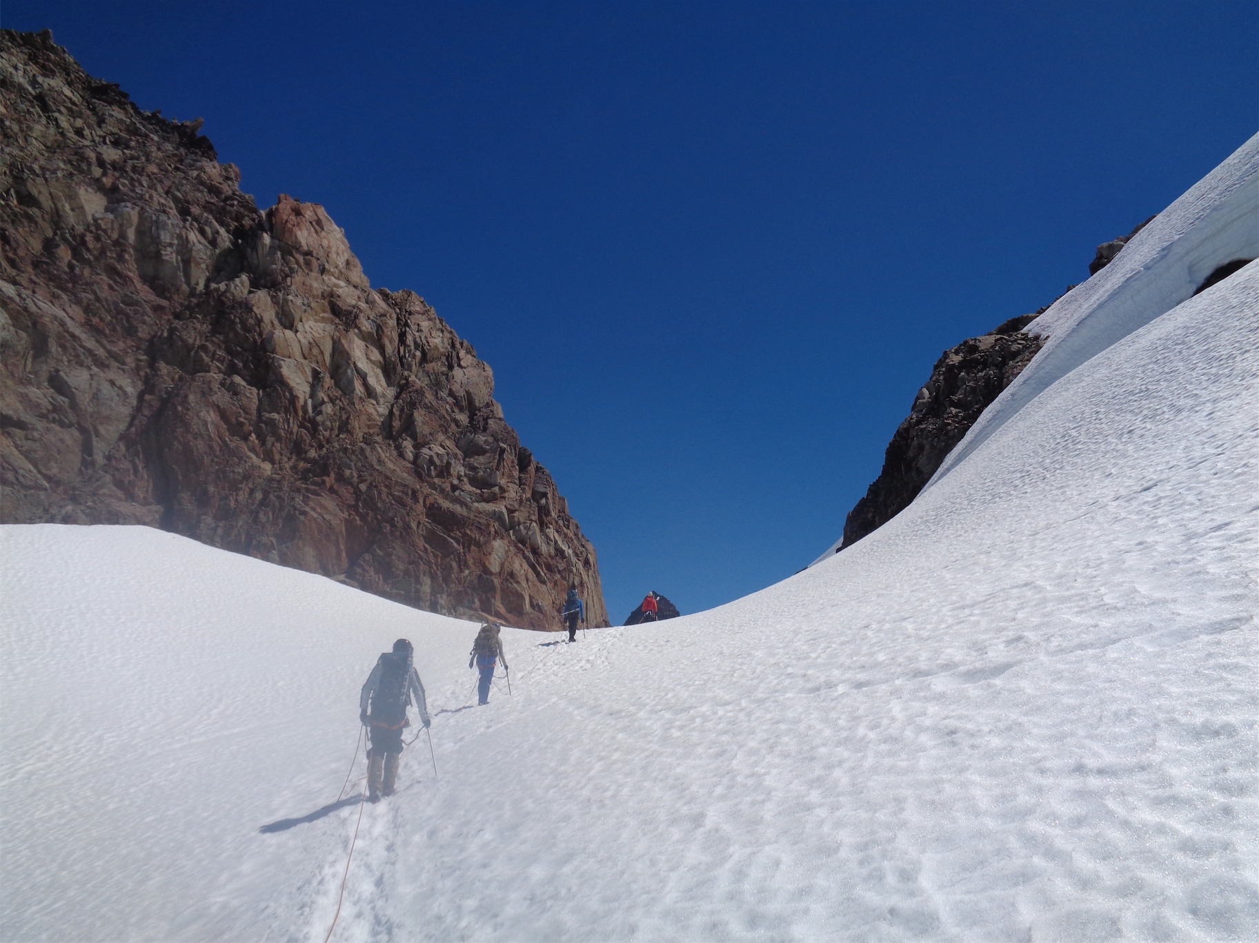
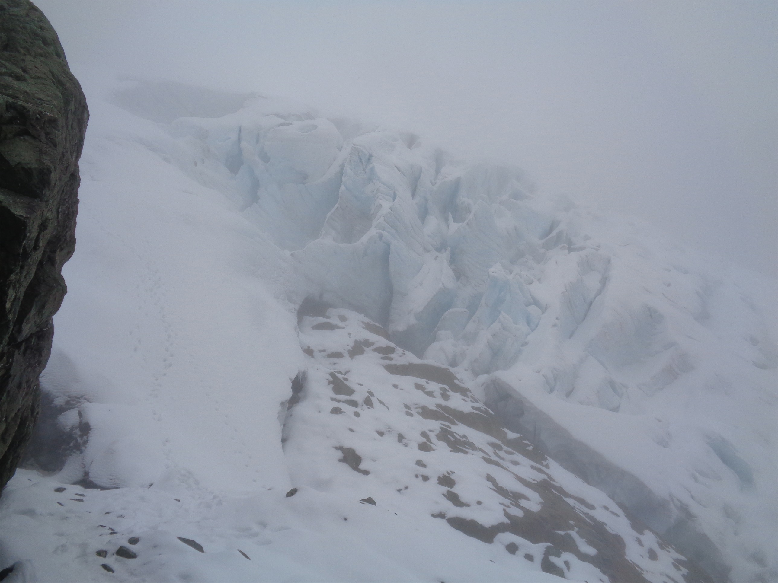
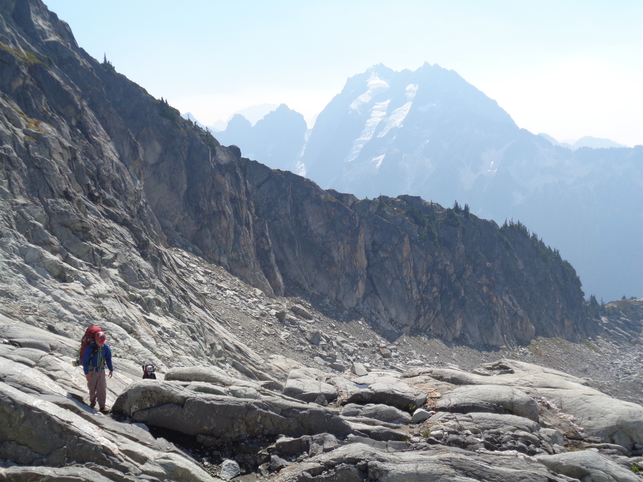
Carrying on to Spider/Formidable col (obvious notch)
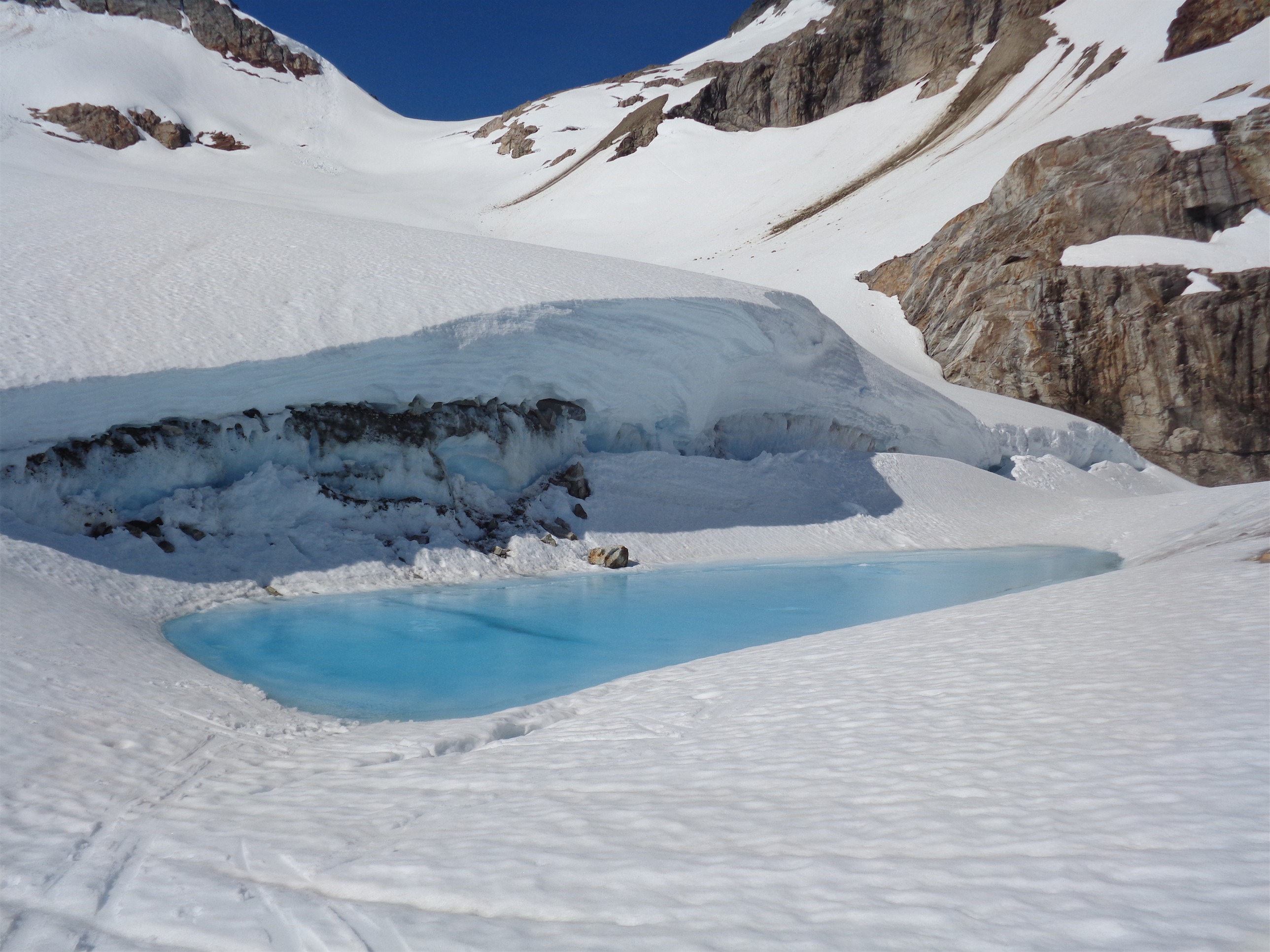
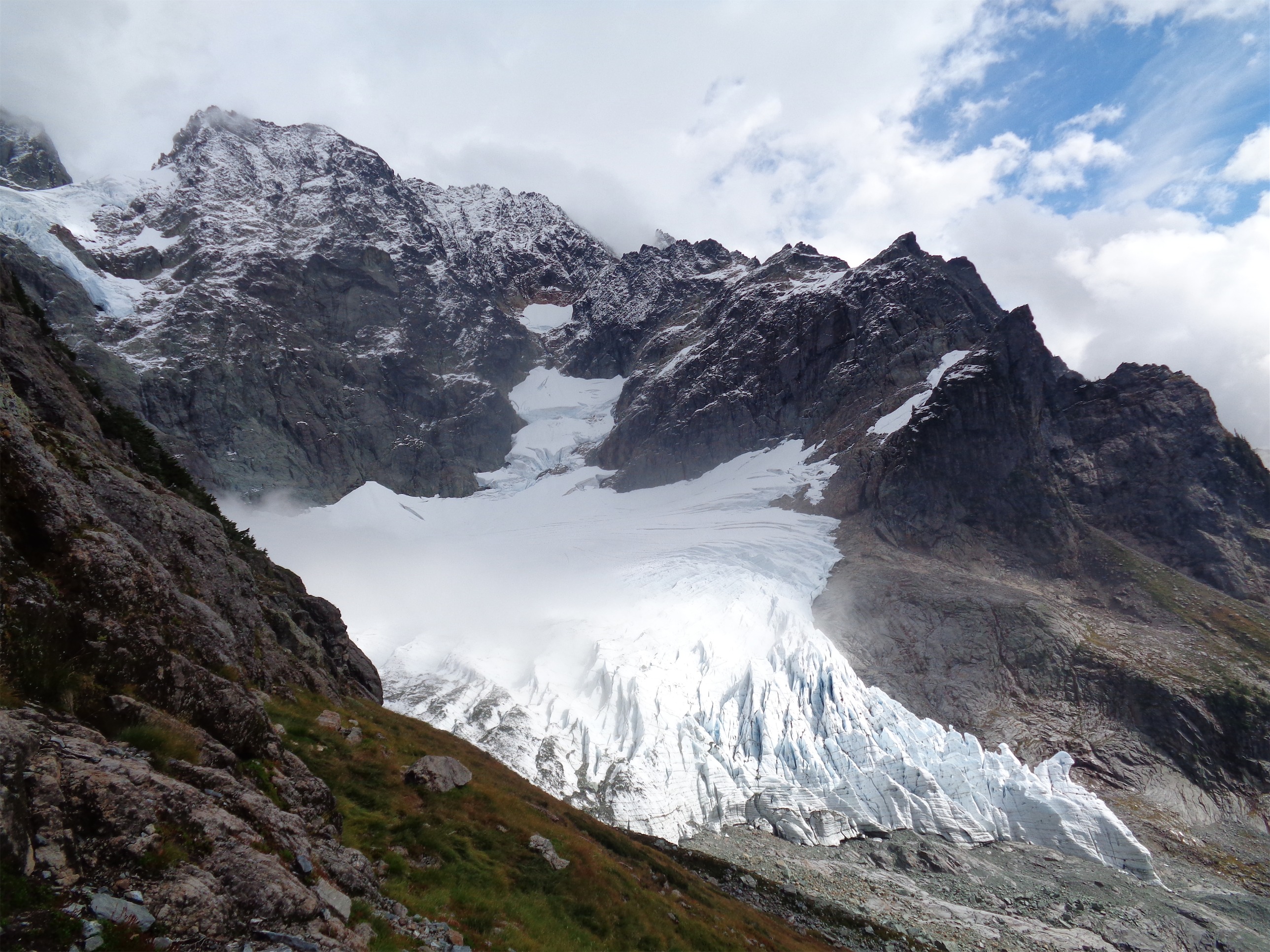
About a quarter mile past the ledges, you can drop down onto the glacier. But JT and I weren’t very fortunate here. We couldn’t see a decent line up to the glacier. The previous reports all had far more snow coverage than we did, we’d be dealing with nearly a thousand feet of steep scree with terrible runout and a serac waiting to collapse above us. As if on cue, a huge chunk of ice fell from the glacier and started a domino effect of tumbling ice. Yeah, maybe we should pass. Slow start, late in the morning, it’d only get warmer as the day went. Would my mother yell at me for trying this? Yes (that almost always applies though). Would WH&C shit all over the article about my death because I should have known better? Probably yes. Would mother nature flip me off and deny me from mountain heaven post mortem because I was an idiot who didn’t earn it? Maybe. Okay, standard route anyone? (You’re welcome, mom).
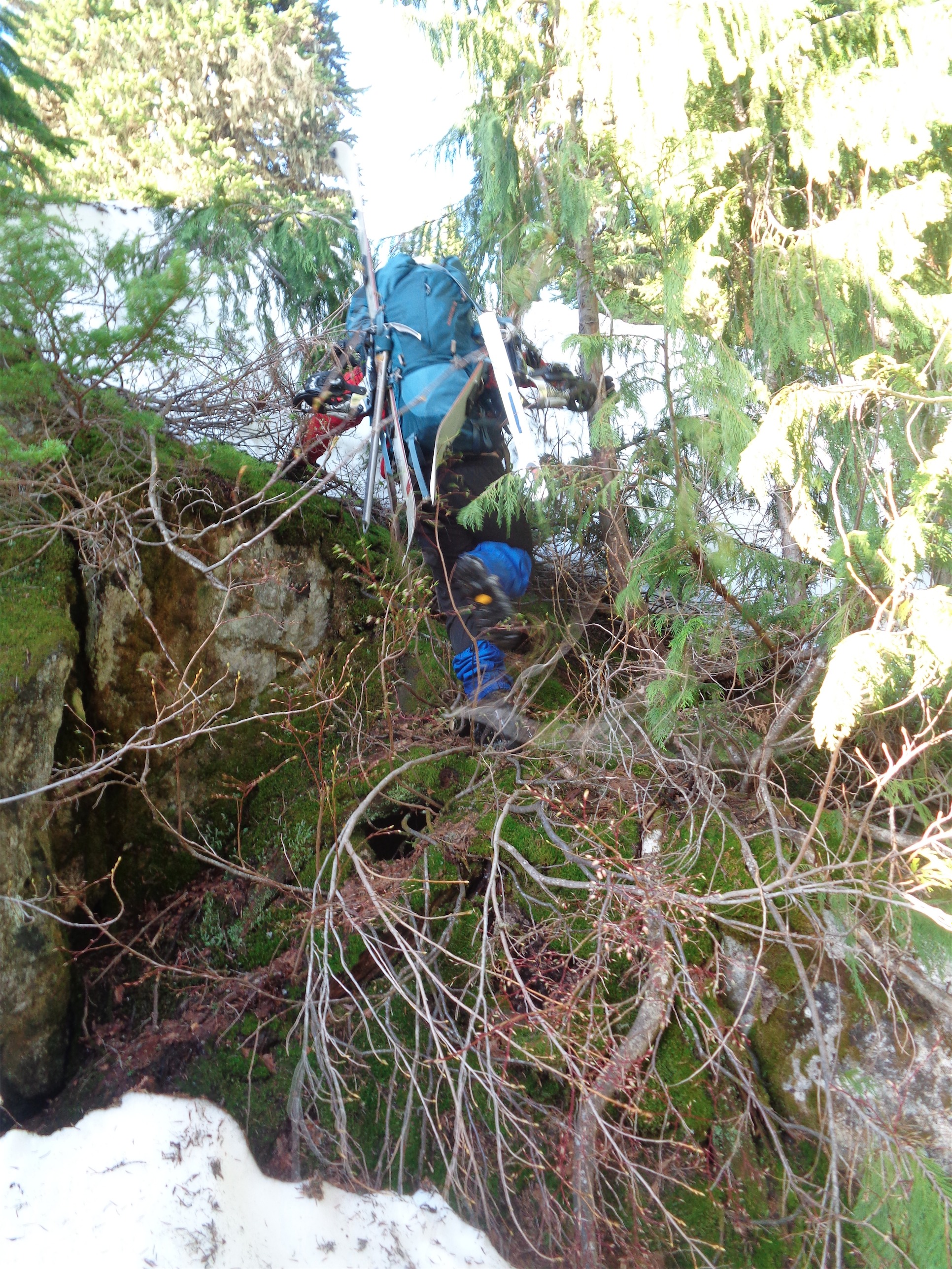
JT laughs as I hang stuck by my pack in a moat between snow and a rock
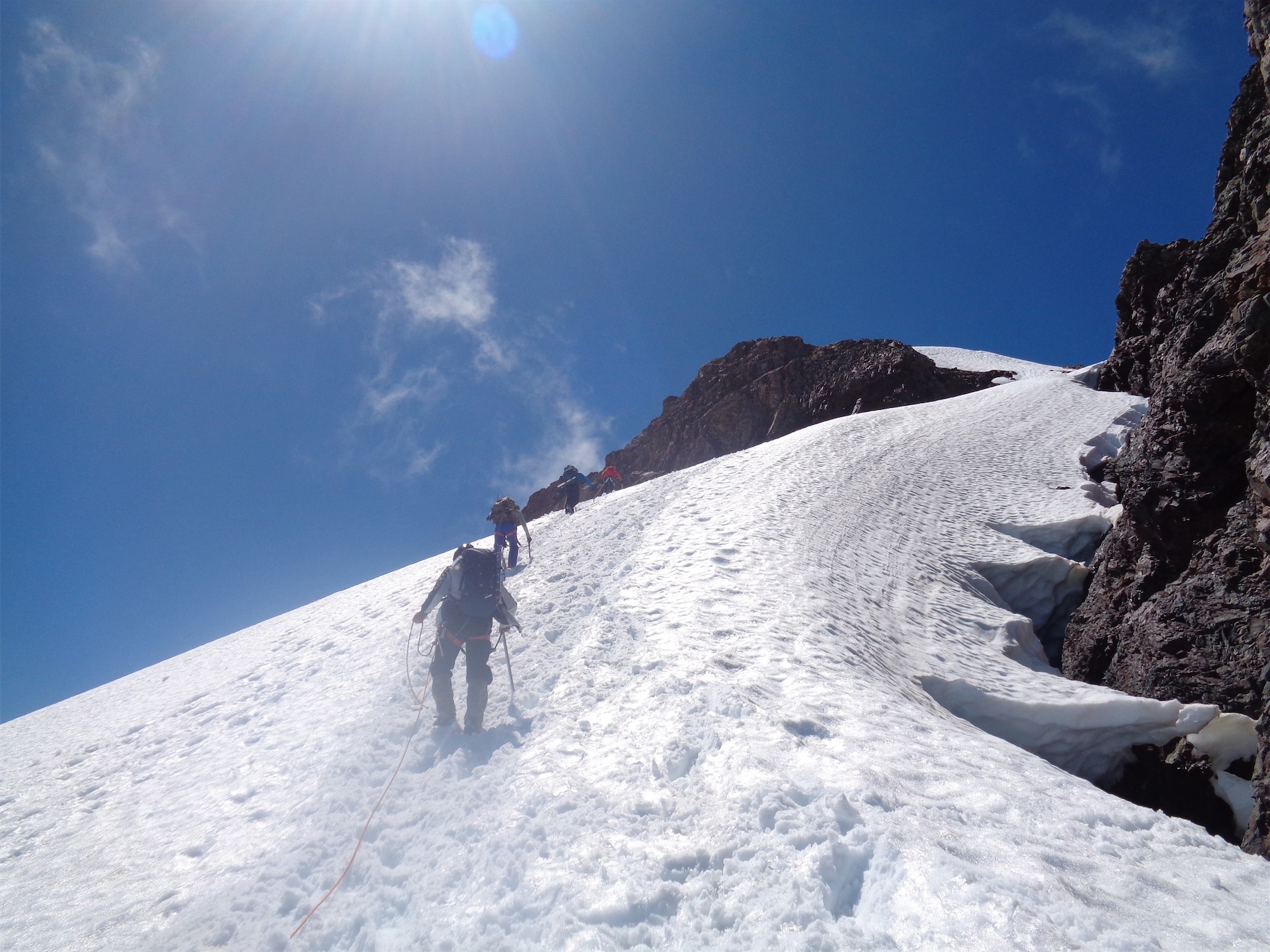
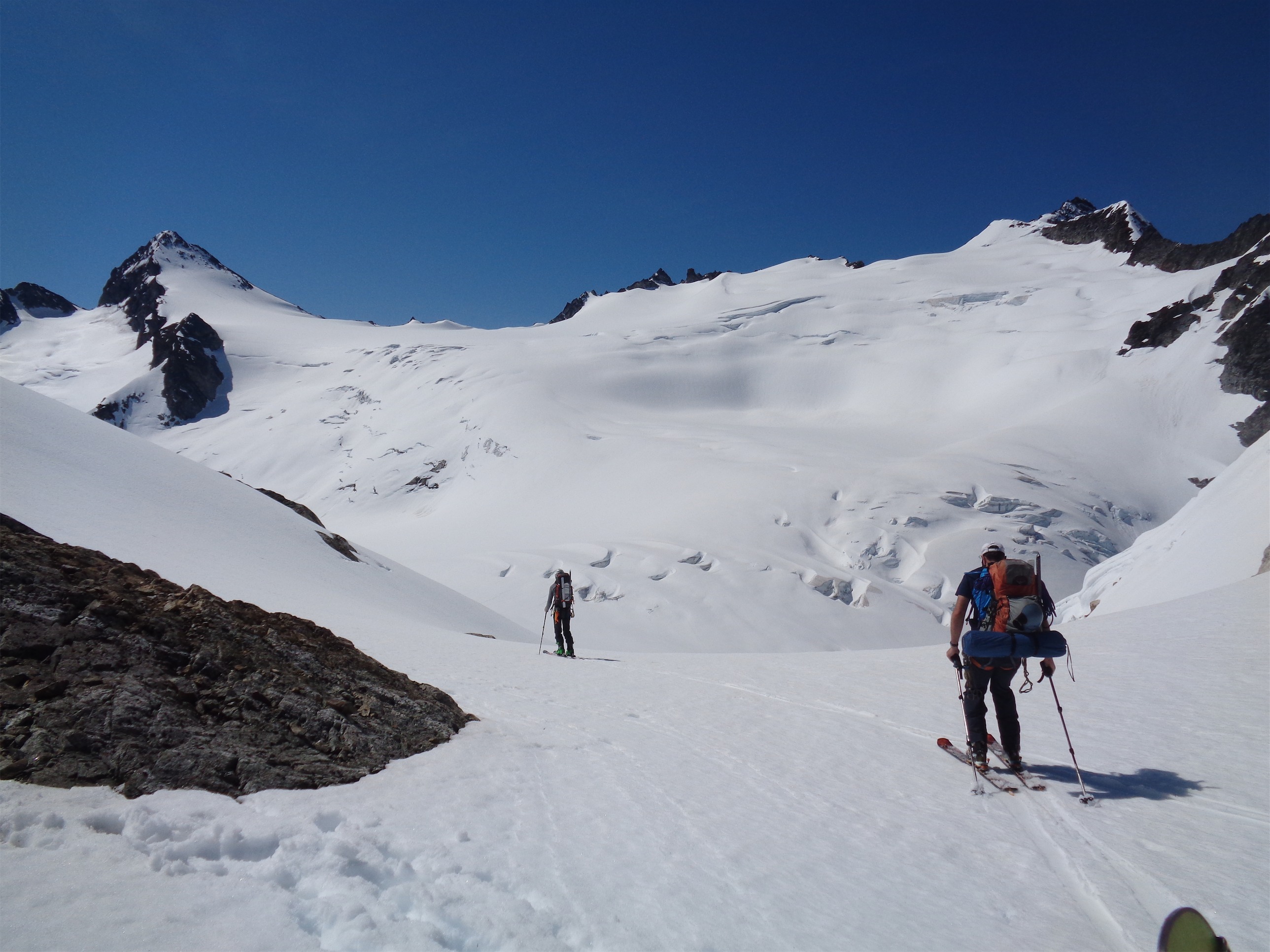
We hung out for a few more minutes scouting out potential lines for a return trip. Many of these remote peaks have fairly simple lines waiting to be climbed, it’s just that no one ever goes out there to do them. My feet were already killing me, covered in raw wet hot spots. JT had brought his cotton socks, so I made him give me back my Darn Toughs and he donned his cotton socks. Sorry JT. We eventually got moving again, and met the side of the Middle Cascade Glacier. The bottom half of this glacier is an awesome ice fall, but the upper half is pretty mellow. We did some painful sidehilling to avoid crevasses, I bitched about my boots killing my ankles, and soon enough we gained the Spider-Formidable Col. From here we could see that our route to the glacier on the NE face wasn’t as steep as we thought, and might have been doable. Dammit. But we were committed to the standard route at this point, since we had spend an hour or two getting up to the Spider-Formidable Col and backtracking would likely take just as long.
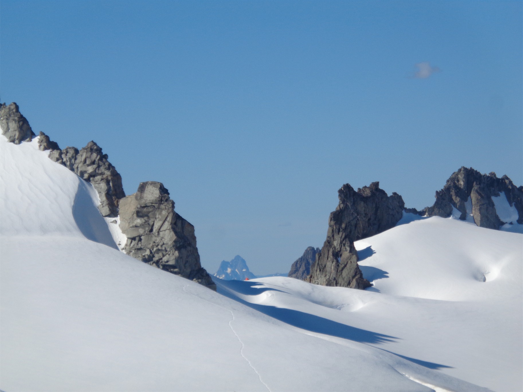
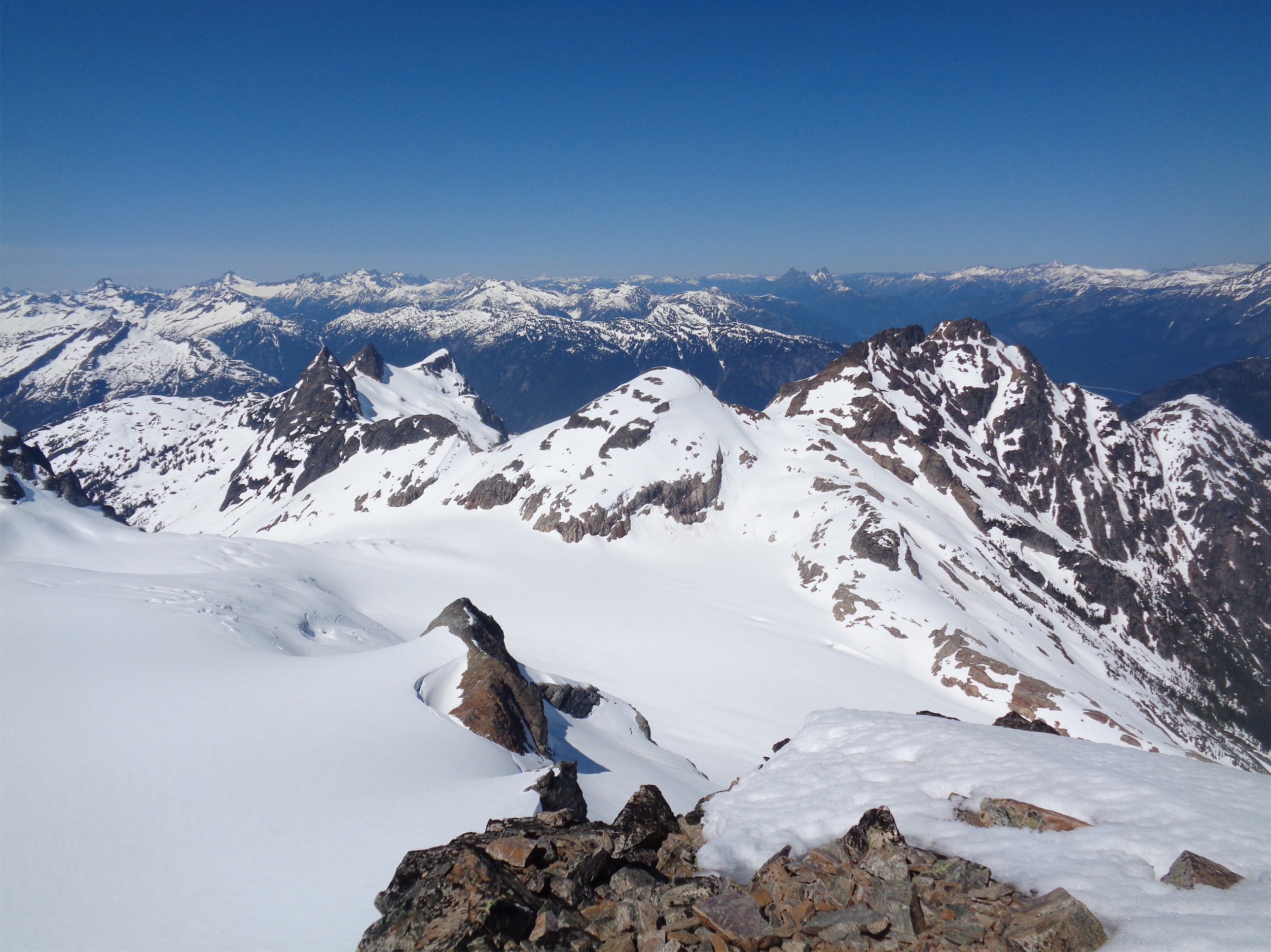
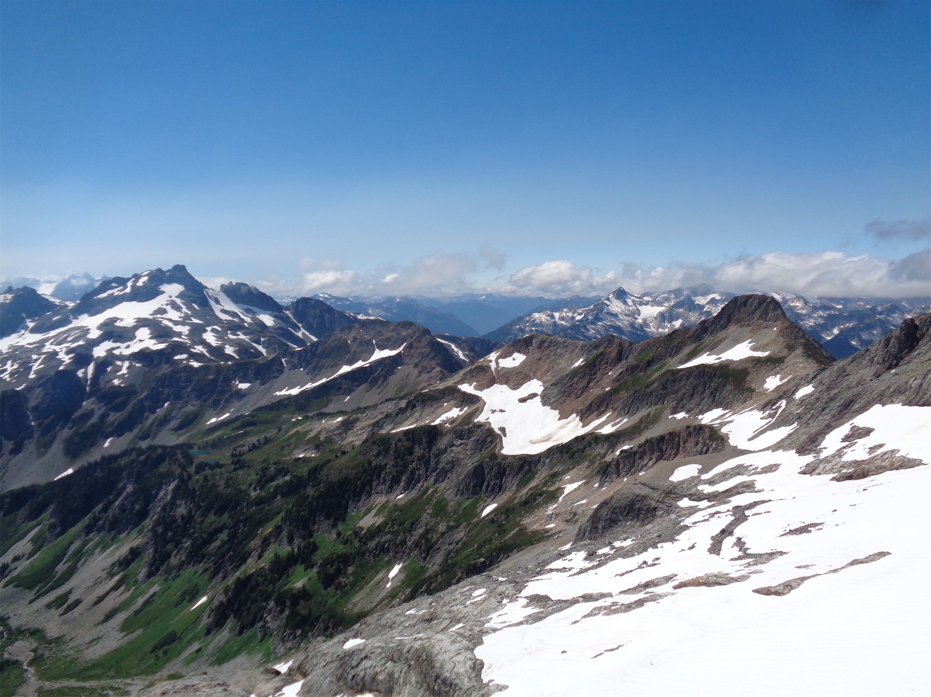
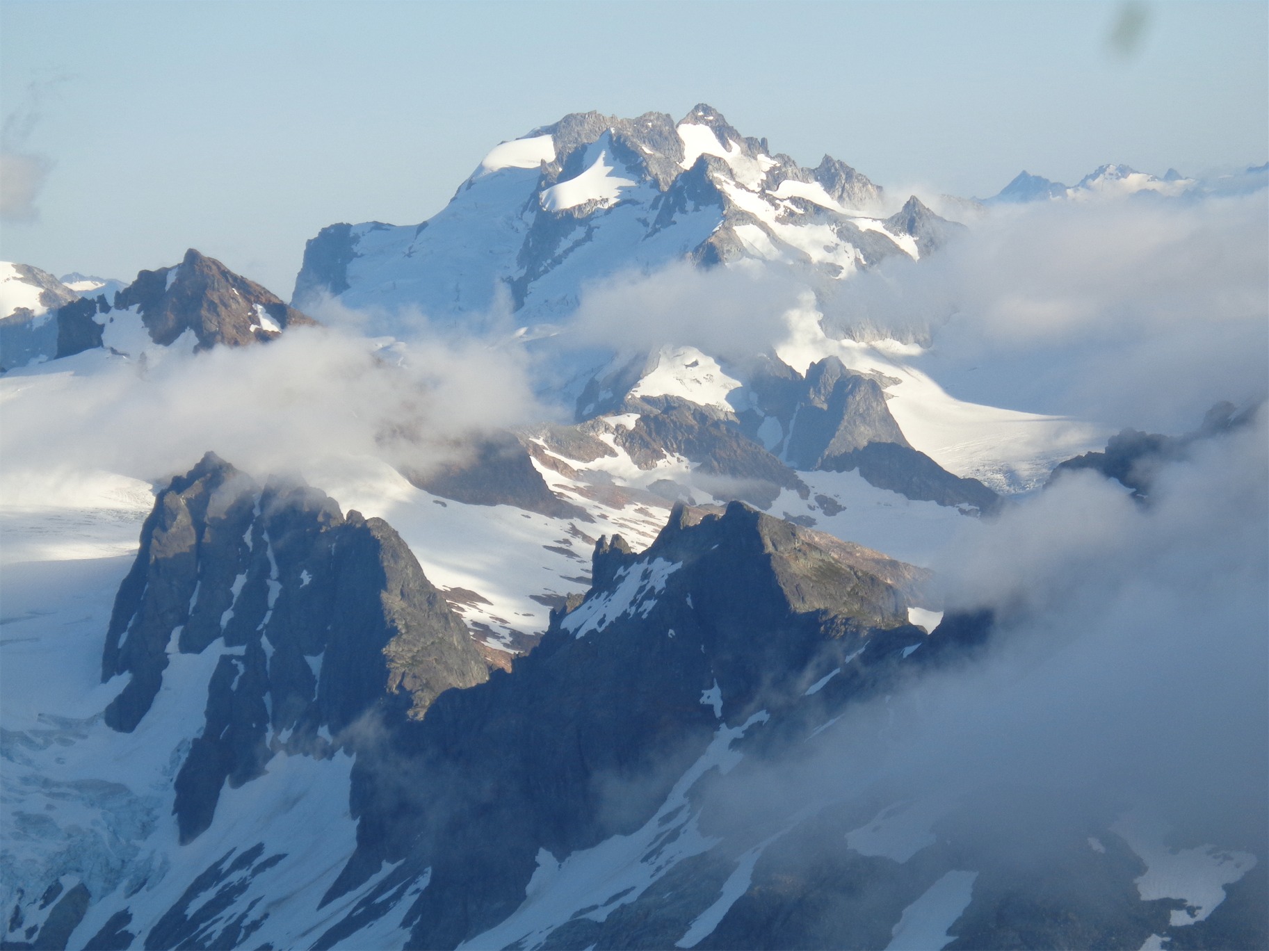
First views of Le Conte Lake and Gunsight, Old Guard and Sentinel Peaks
The col on the right has two small bivvy spots, the narrow col on the left is where you’ll want to drop down to the next section of the Ptarmigan Traverse. I lost my breath at the top col seeing the view on the other side – Old Guard and Sentinel are one huge glaciated massif with glacial turquoise Le Conte Lake below them, with Gunsight (an obsession of mine, the twin spired peak behind Old Guard). Spectacular, especially against the red rock we were standing on. I have one complaint. Le Conte Glacier is on Old Guard Peak. It drains into Le Conte Lake. That makes sense. But Le Conte Peak is to the west. Why isn’t the Le Conte Glacier on Le Conte Peak?!

Checking out the bivvy col
We dropped down quickly to the snowfield below, and headed along the Ptarmigan Traverse path to the fourth notch in our journey. The Traverse continues to Yang Yang Lakes which you can see from the S/F col, but we veered off right to the notch that would drop us onto the final face of Formidable. So many cols. This snow traverse was nice and easy, and we gained the notch I later named Heather Ledges. This is because you have two options to drop down onto the final traverse. A “nefarious gully,” which gets its namesake from the absurd amount of scree that managed to conglomerate on this third class scramble, or some heather ledges, which are steep but pleasant enough in crampons, which we were too lazy to drop off. The ledges do eventually dump you into the nefarious gully, which we battled down to another snow field.
Looking across to our notch on the ridge, Yang Yang lakes center left, Le Conte back left

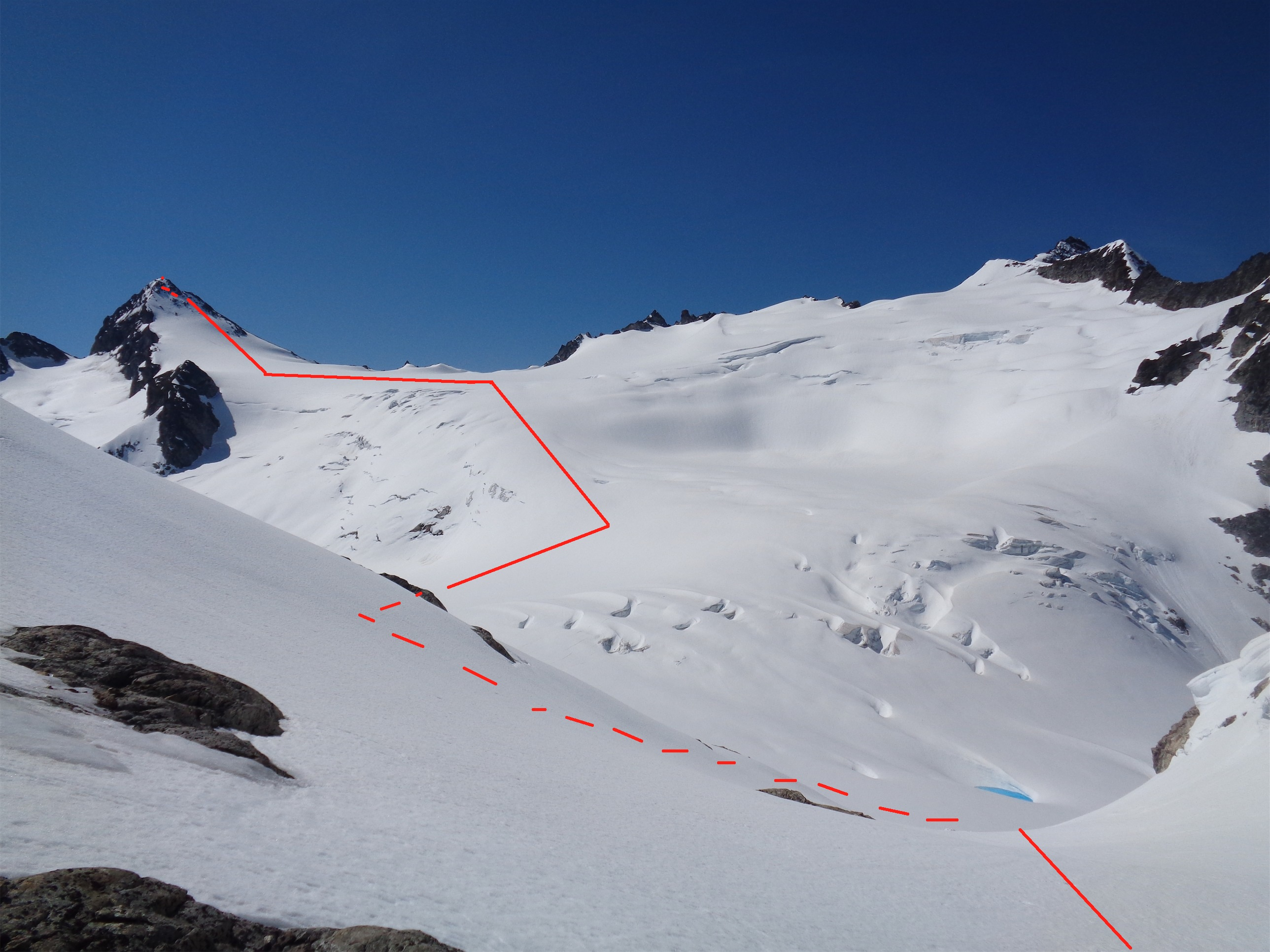
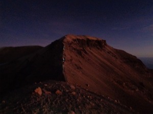
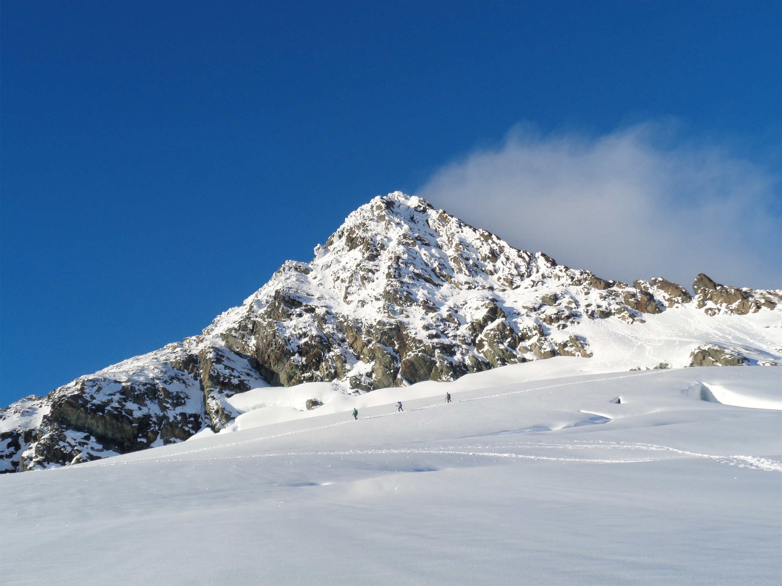
Atop Heather Ledges looking at the final section of the climb. Gain the grassy rib on the left, head up and left from there.
After the nefarious gully you have a few more snowfields to cross, more talus, fantastic views of a jagged ridge that amazingly has no name, and Buckindy in the background. And of course, Dome and Old Guard still loom over the far horizon as you gain a grassy rib and scramble up to the base of the gully that leads you to the summit.

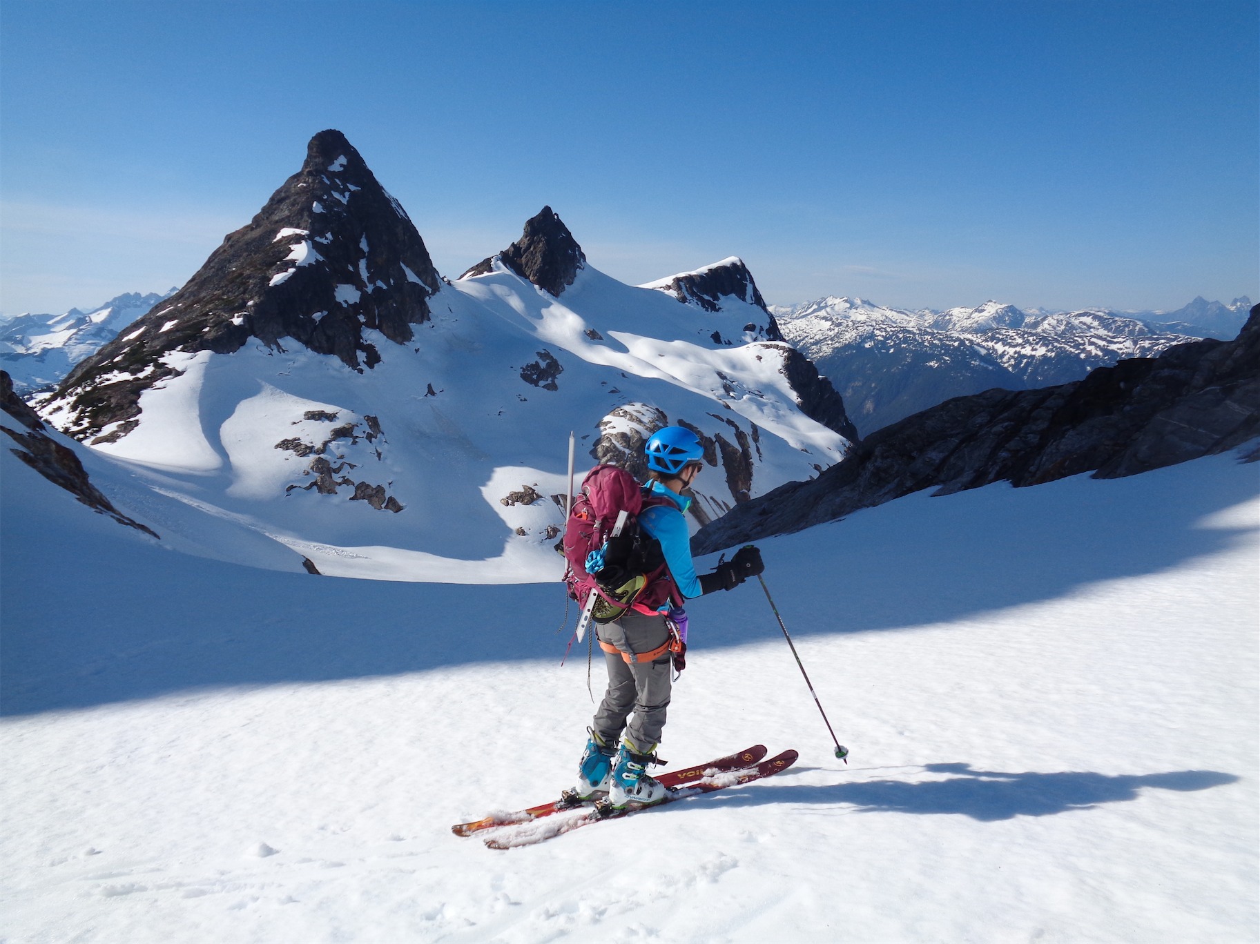
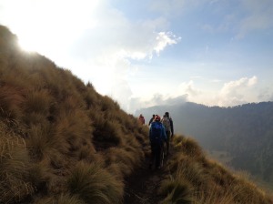
Quick break to soak in views
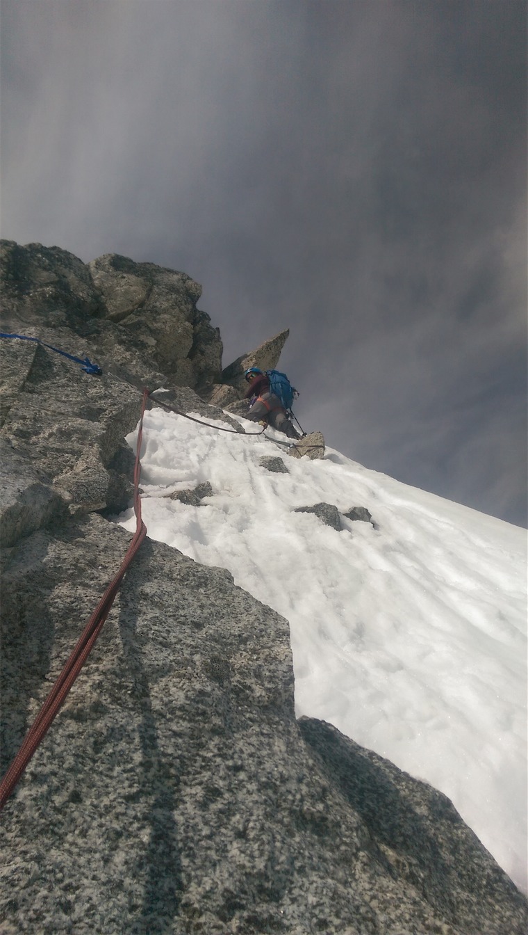
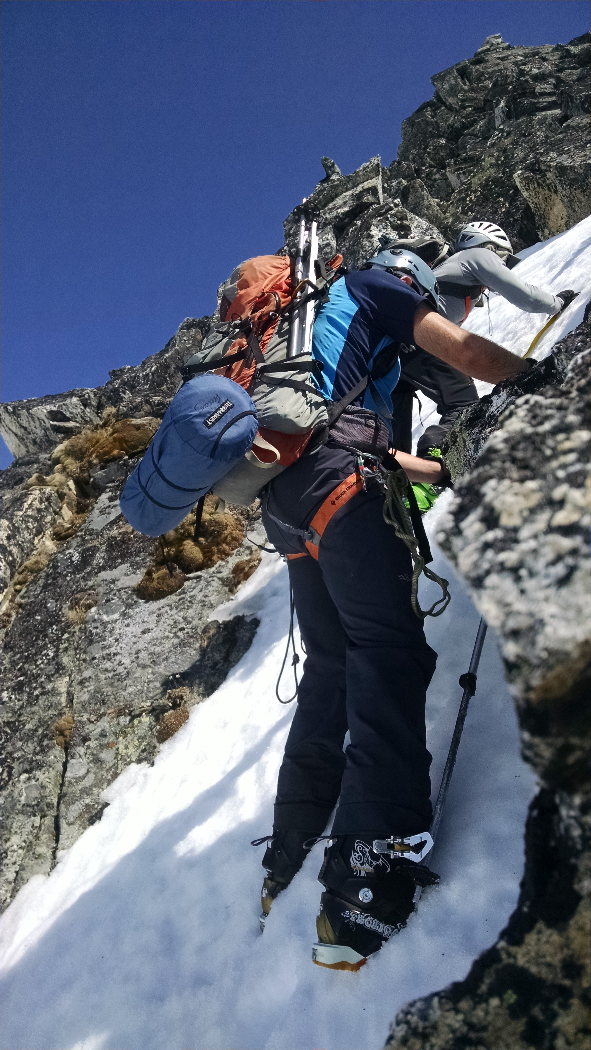
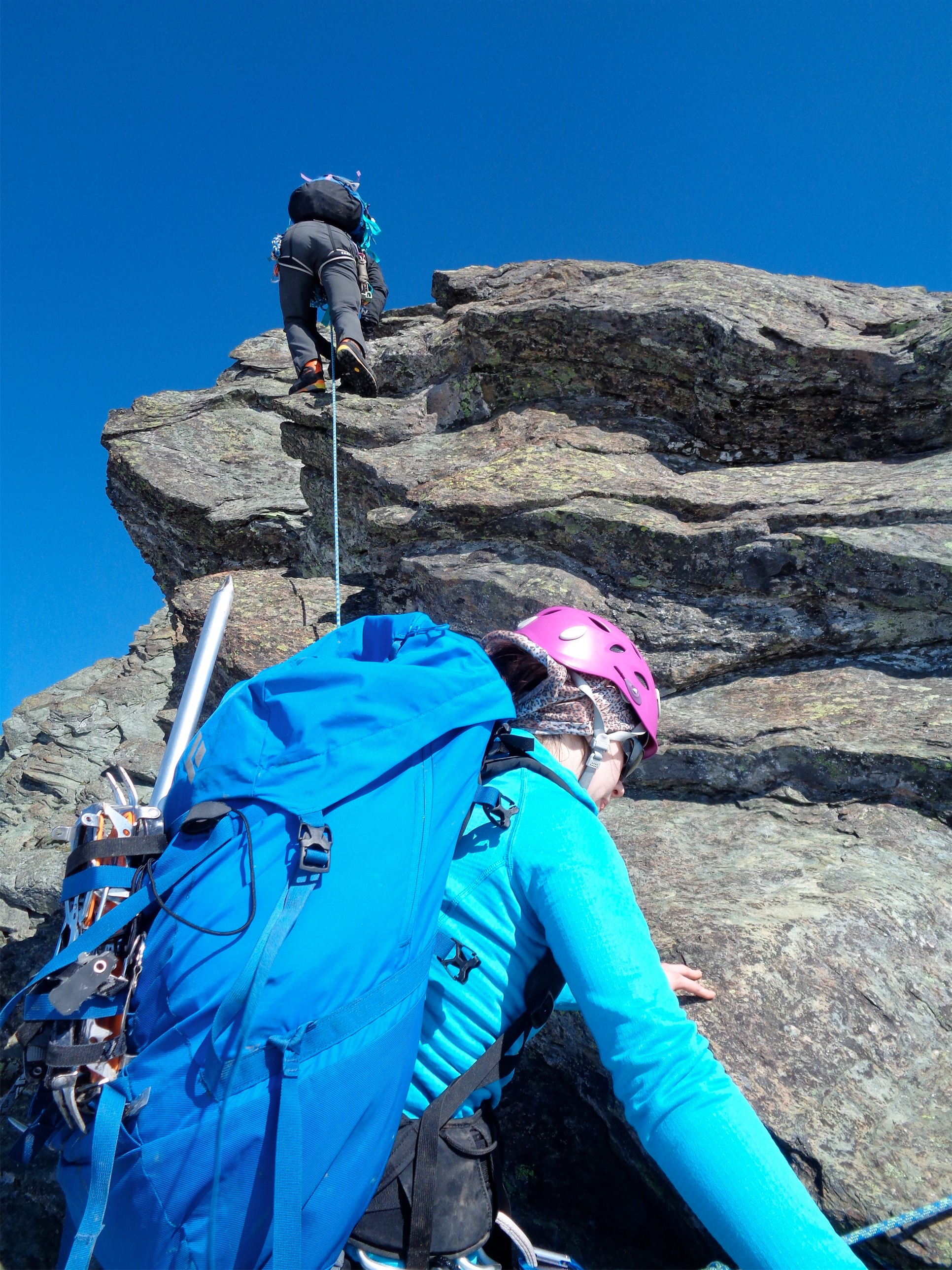
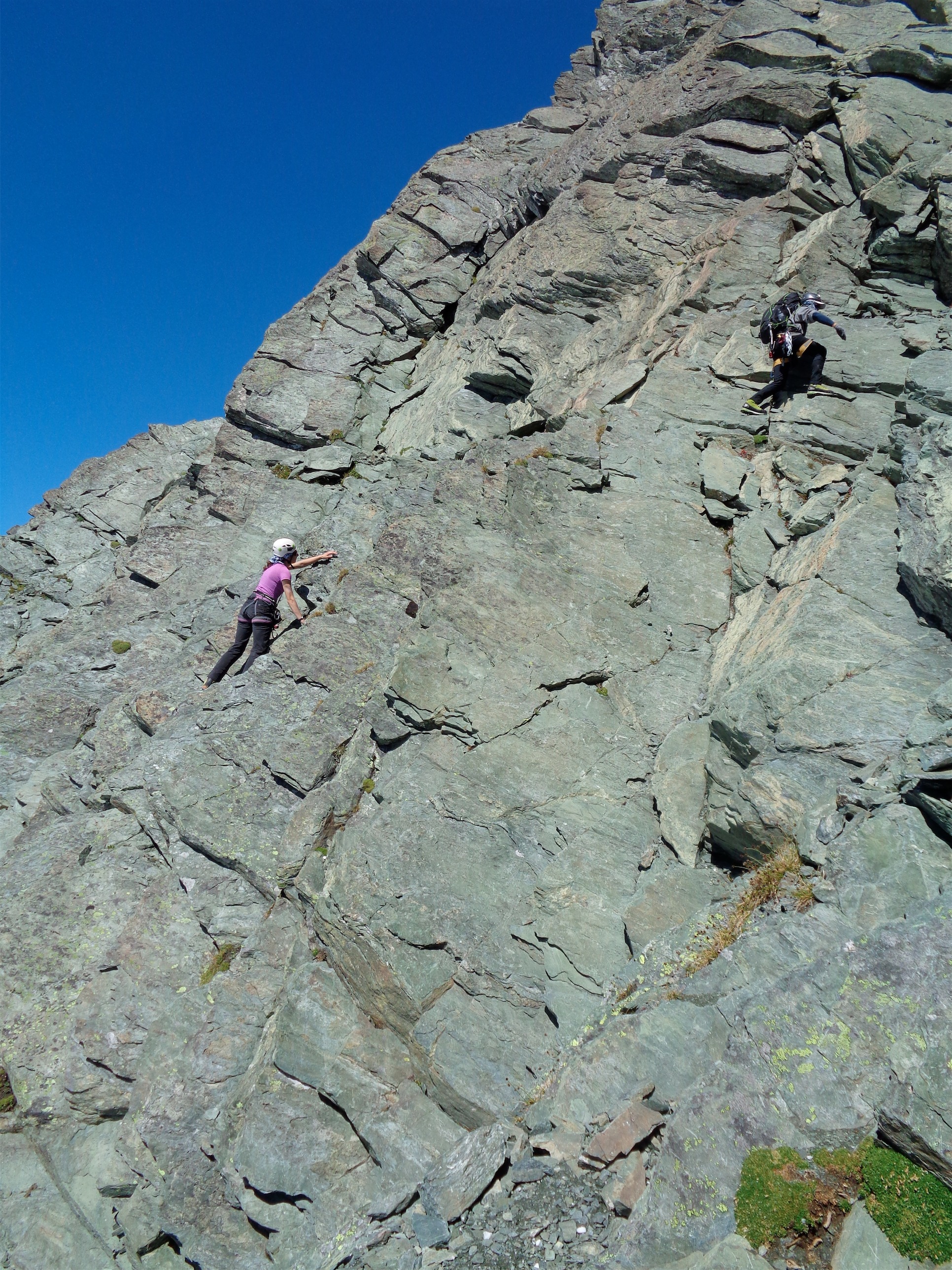
Except it’s never that simple. We missed the nice grassy rib, and ended up in a low fifth class gully. Luckily we had lugged a 60m rope and a light alpine rack thinking we were doing the NE face, so what the hell, let’s put it to use. One pitch of easy climbing later (ignoring the hollow flakes that broke off as we climbed) and we were up by the gullys, which were supposedly marked by cairns. There are two routes up, one that follows a series of ledges with an airy traverse and one that follows a loose fourth to fifth class gully. We were aiming for the ledges.
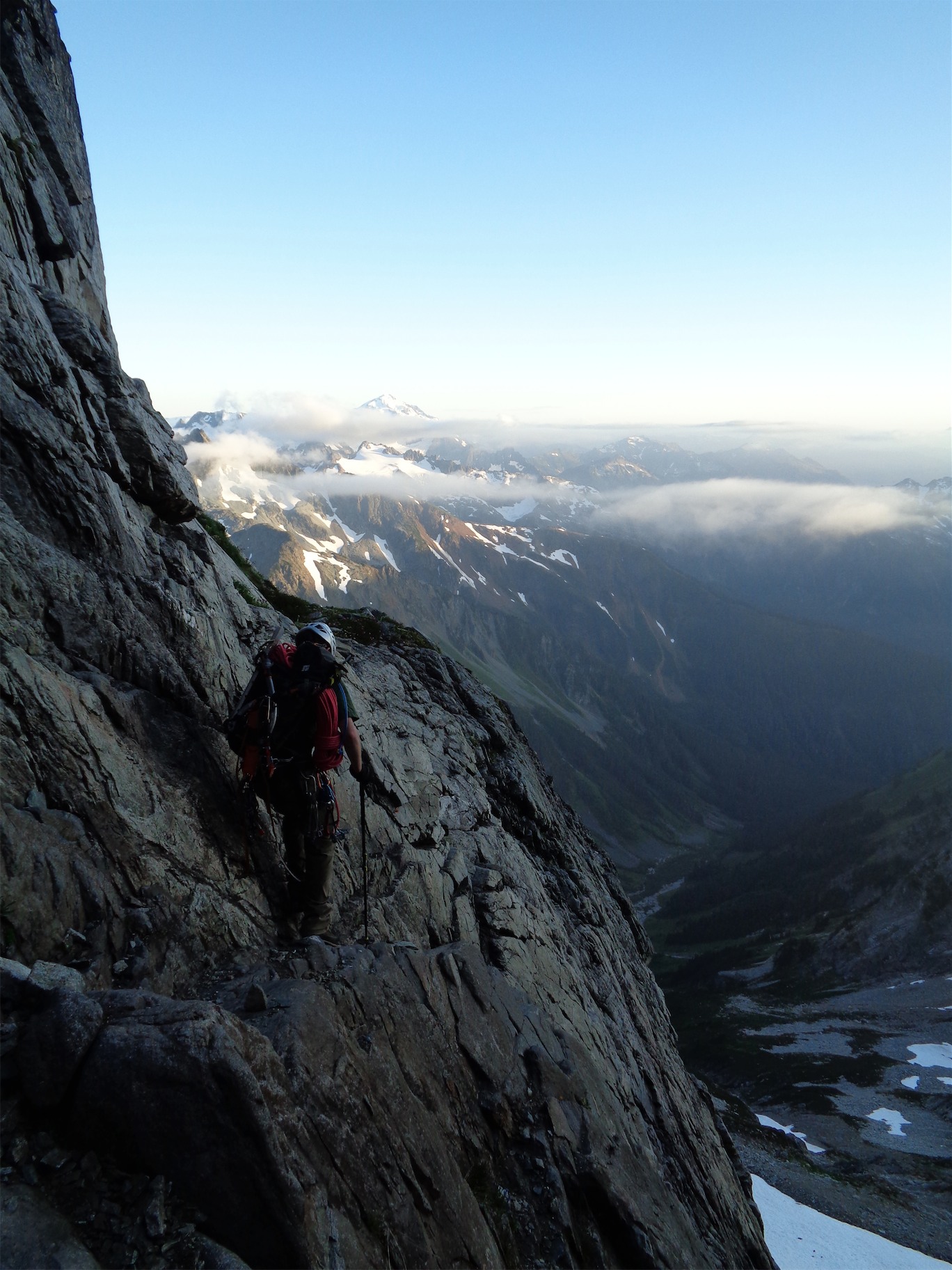
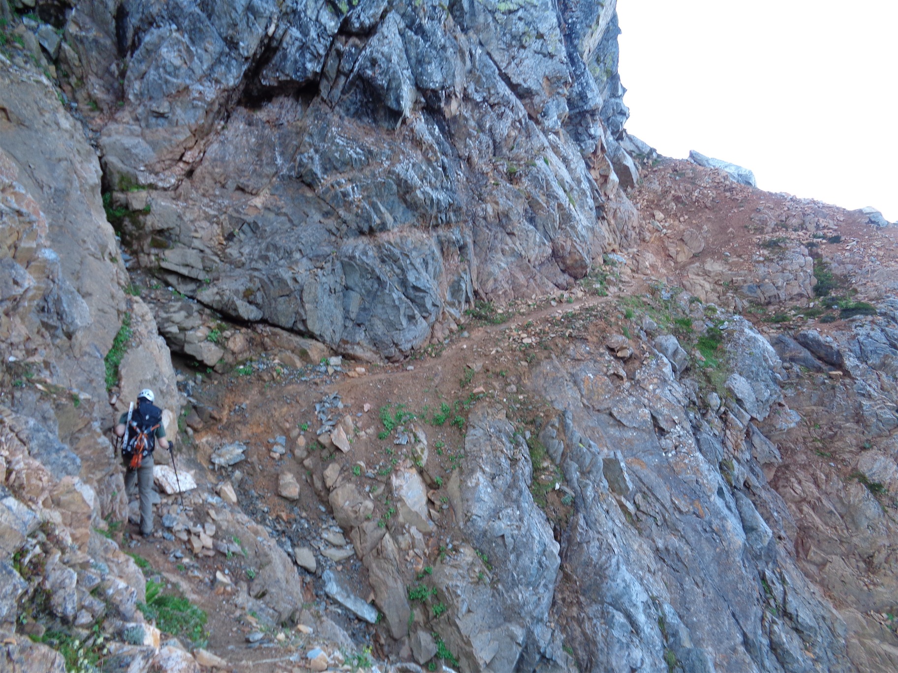
Part of the airy traverse
We managed to find the airy traverse, which was quite airy, and marked by a single cairn at the end. From there, it was a choose your own adventure, supposedly to the top of another gully marked with a cairn which is where the ledges route meets the gully route.
Just kidding! No cairns for you, not out here. Just that one at the end of the airy ledge. Choose your own adventure. We started working our way up through the path of least resistance. A few wrong turns, a few backtracks, a few definitely-not-third-class-moves. We almost ended up on the wrong summit, but I noticed that the one to the right looked taller and made JT backtrack. He was just ready to get the false summit but hell no, I wasn’t letting that happen. “I’ll carry the rope! I’ll carry the rack! I’ll carry your bivvy!” “Joke’s on you, I didn’t bring a bivvy!” Dammit JT! So you’re just gonna huddle in your clothes and shiver for a few hours? We had come this far, we were committed to bivvying. Yep, guess that’s the answer. We downclimbed to a nice gully with what’s that? A cairn? Two cairns?!? Yes!! On track!
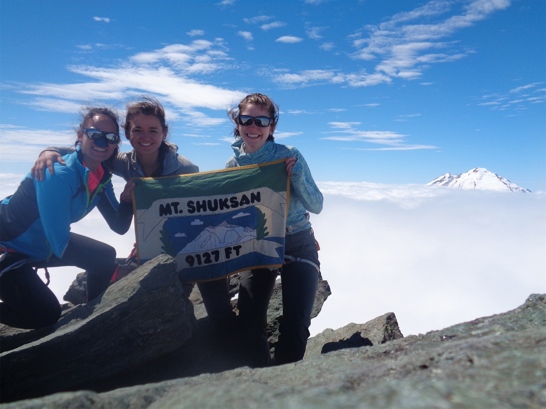
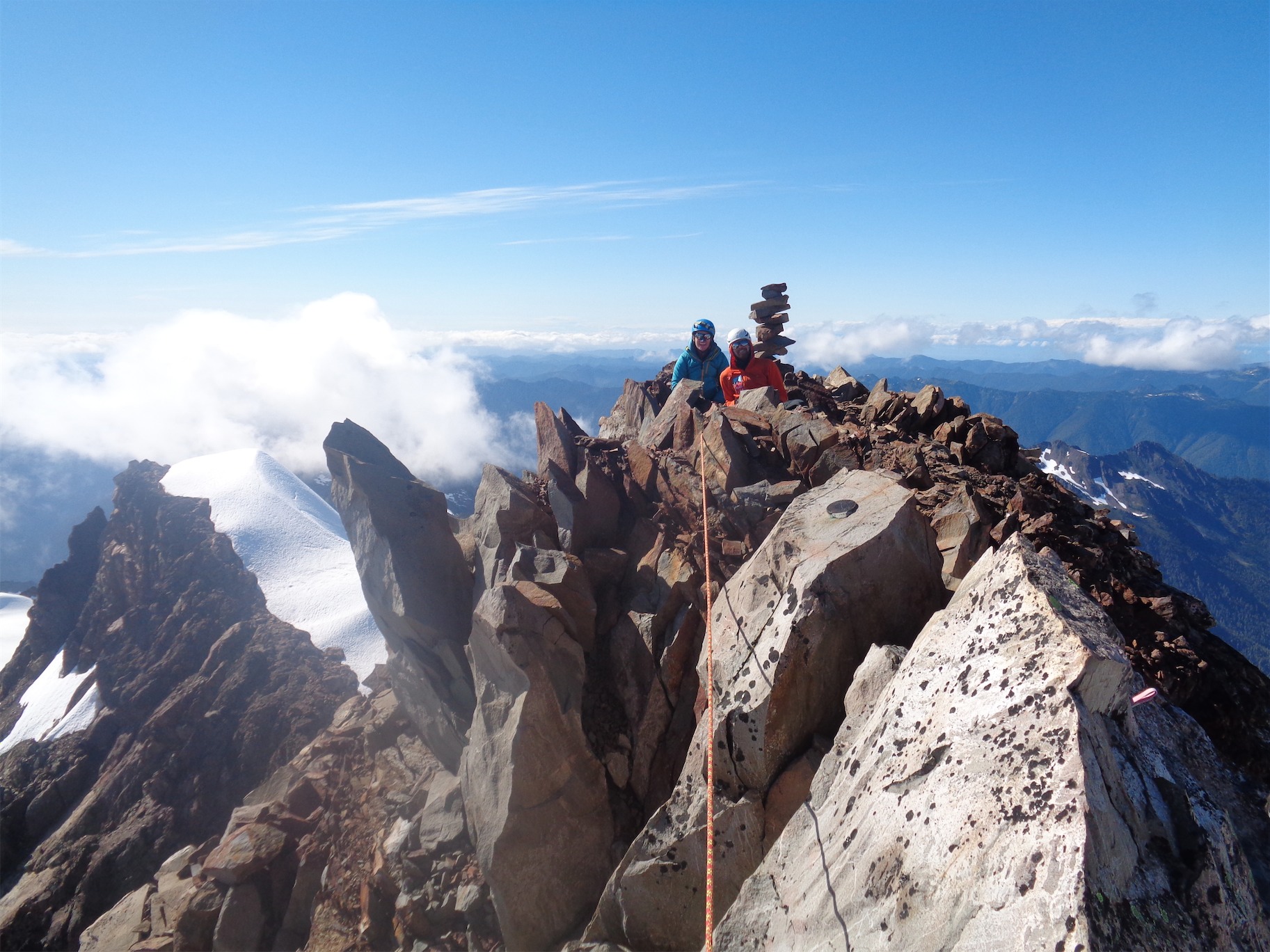
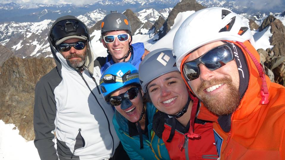
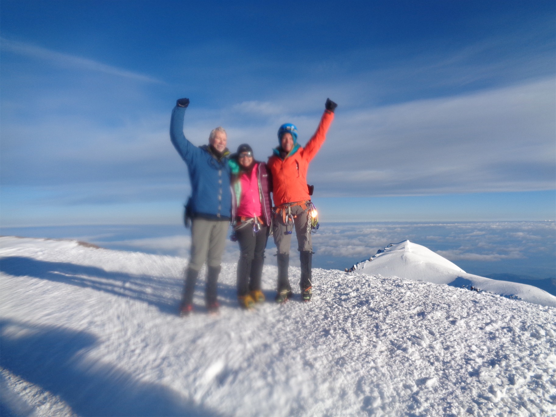
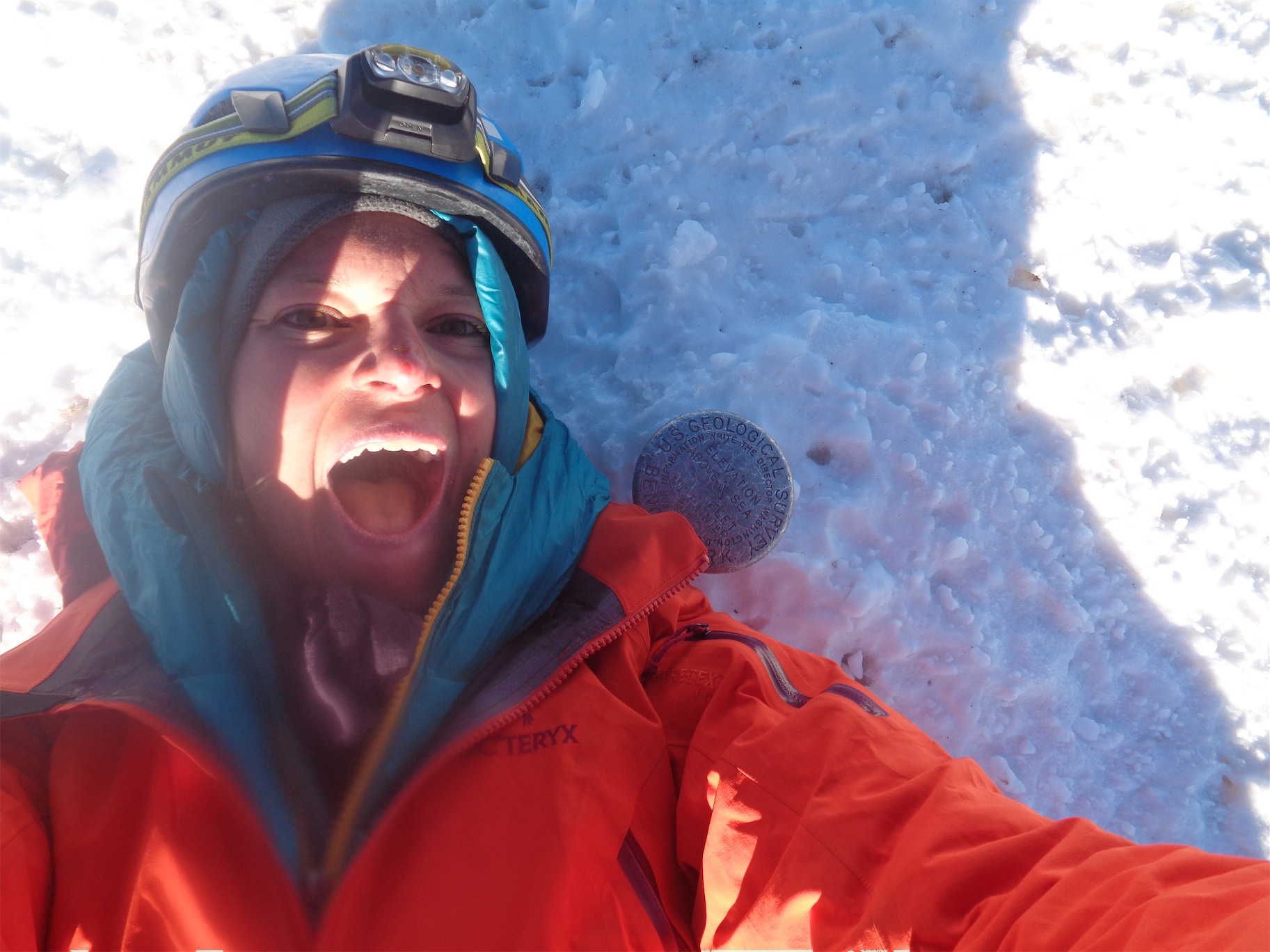
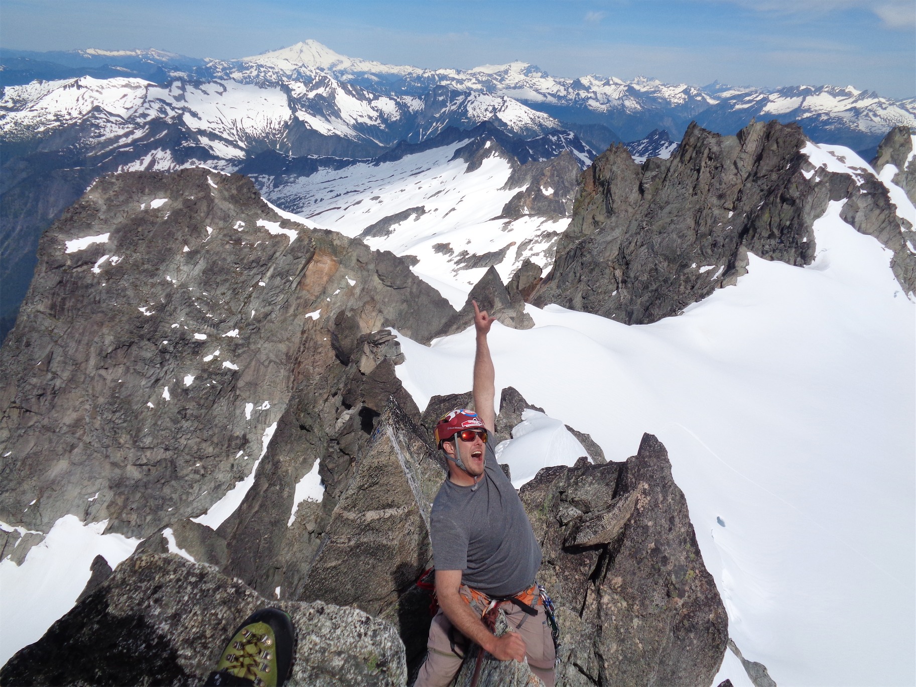
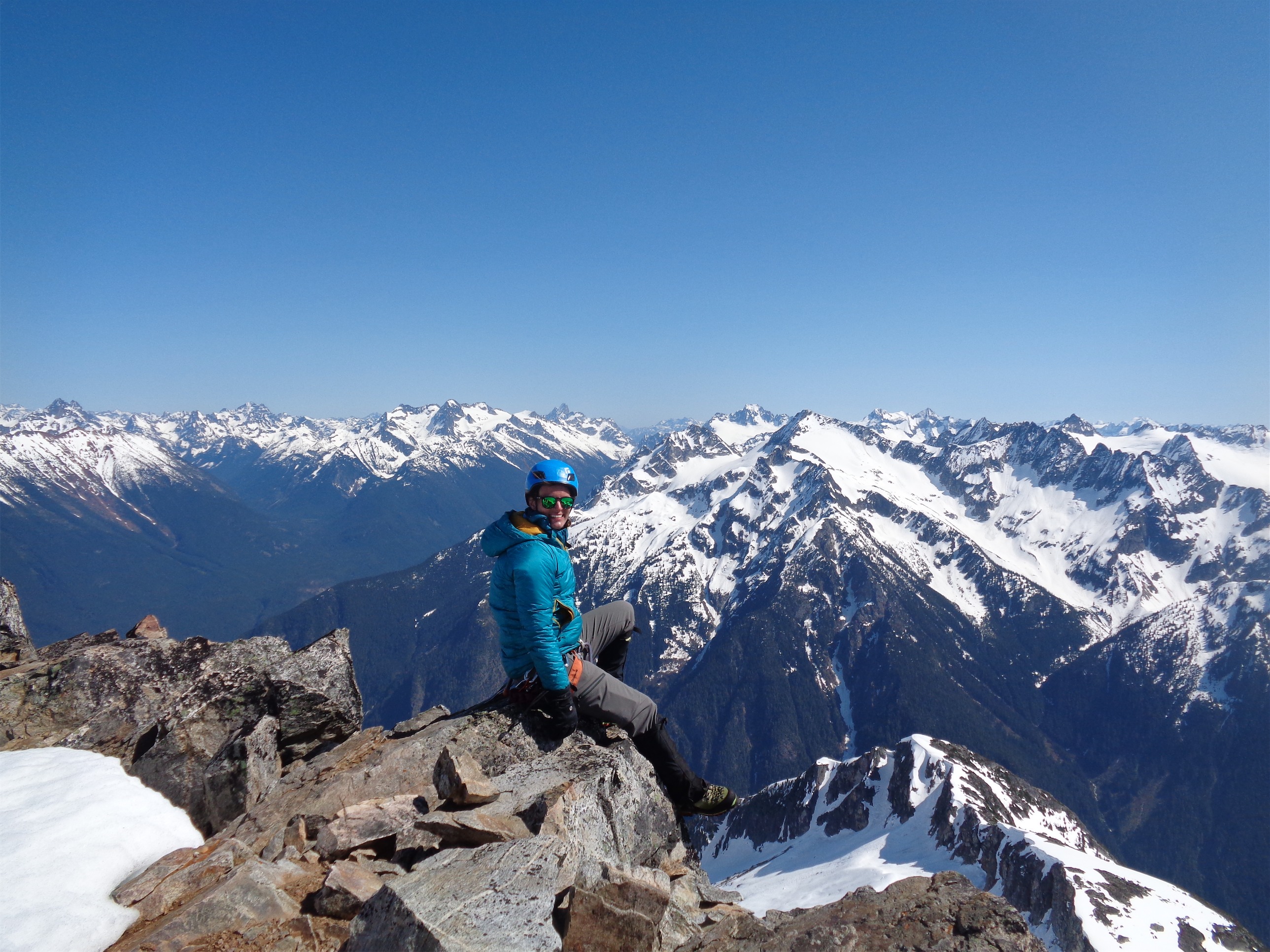
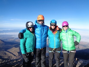
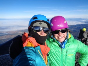
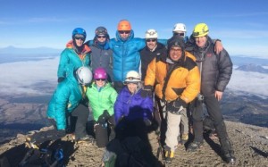
Summit shot!

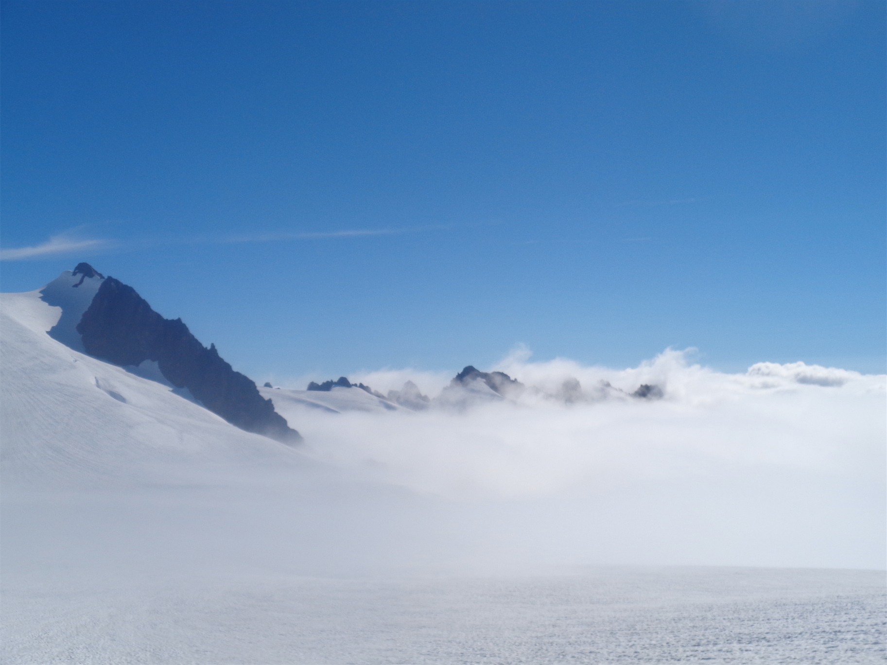
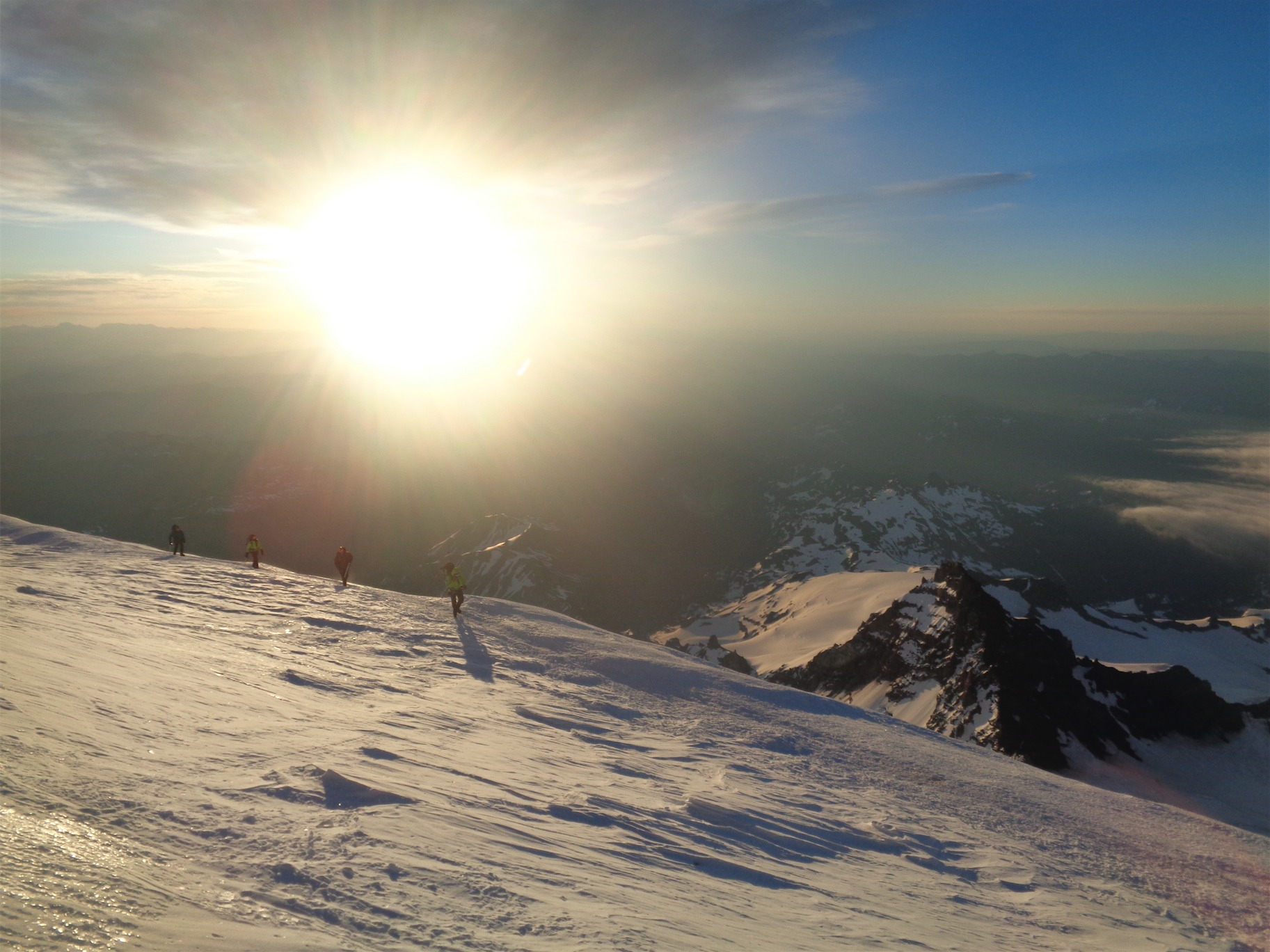
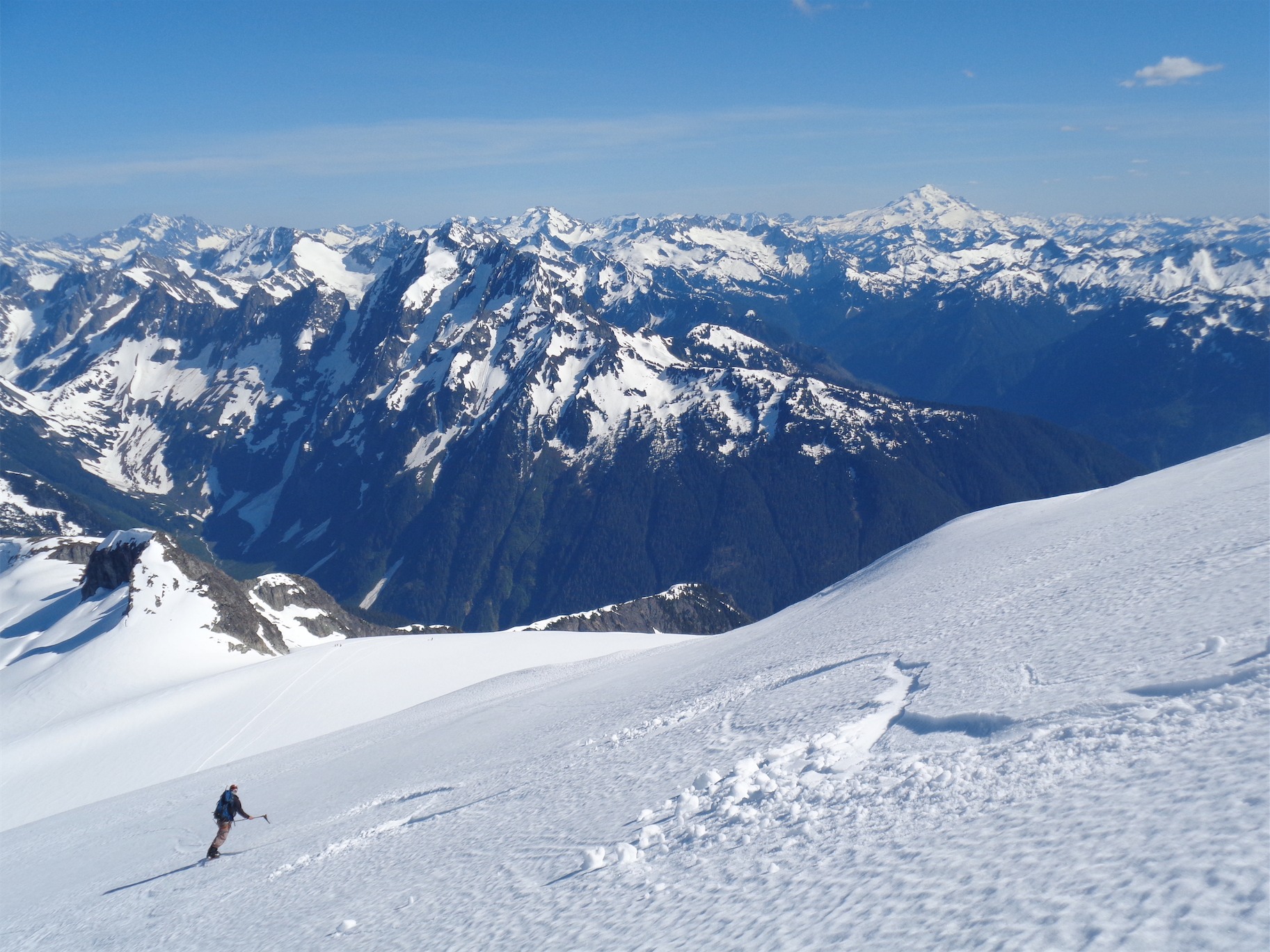
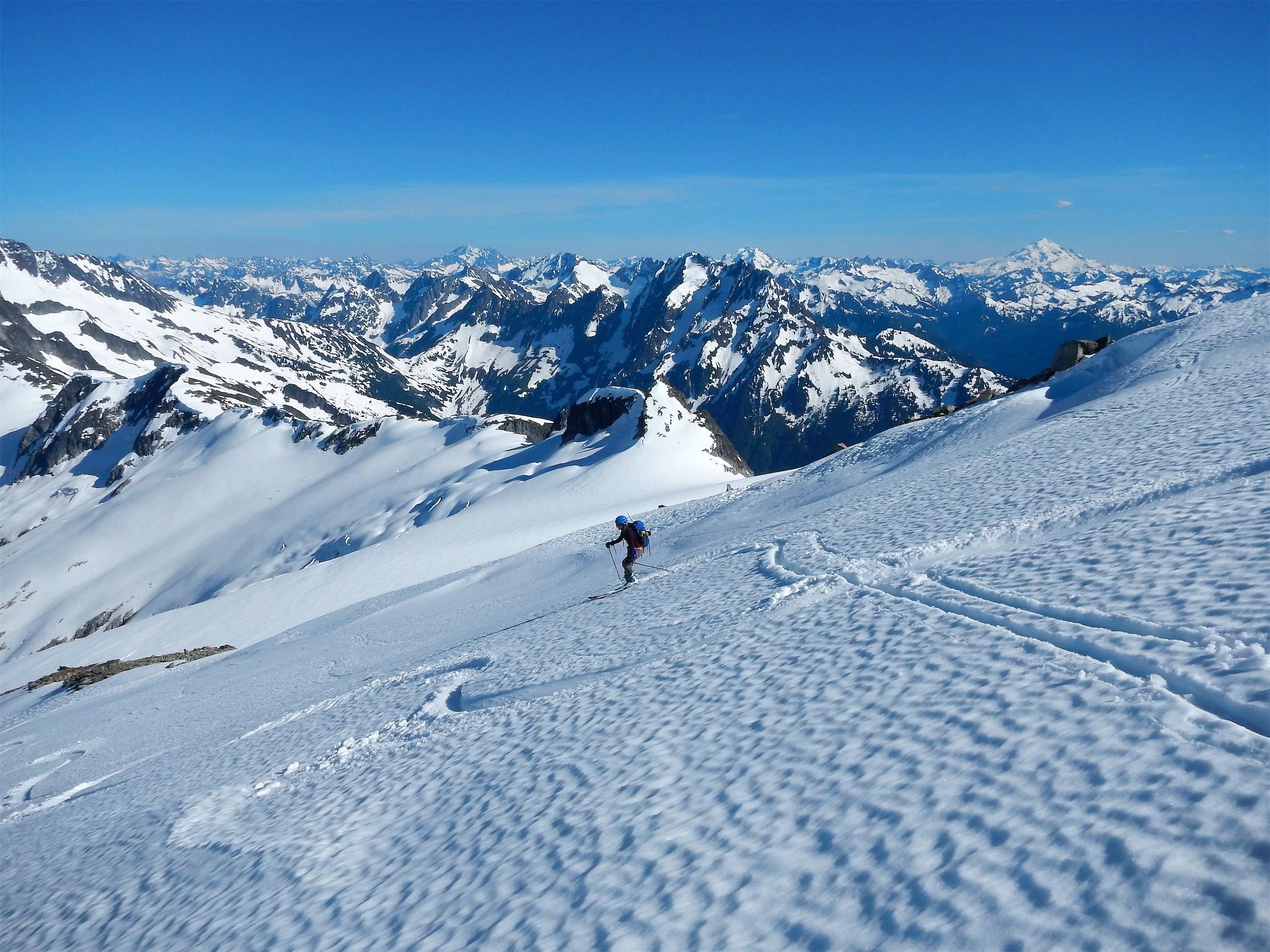
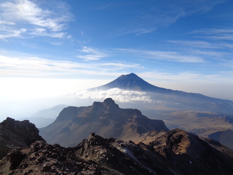
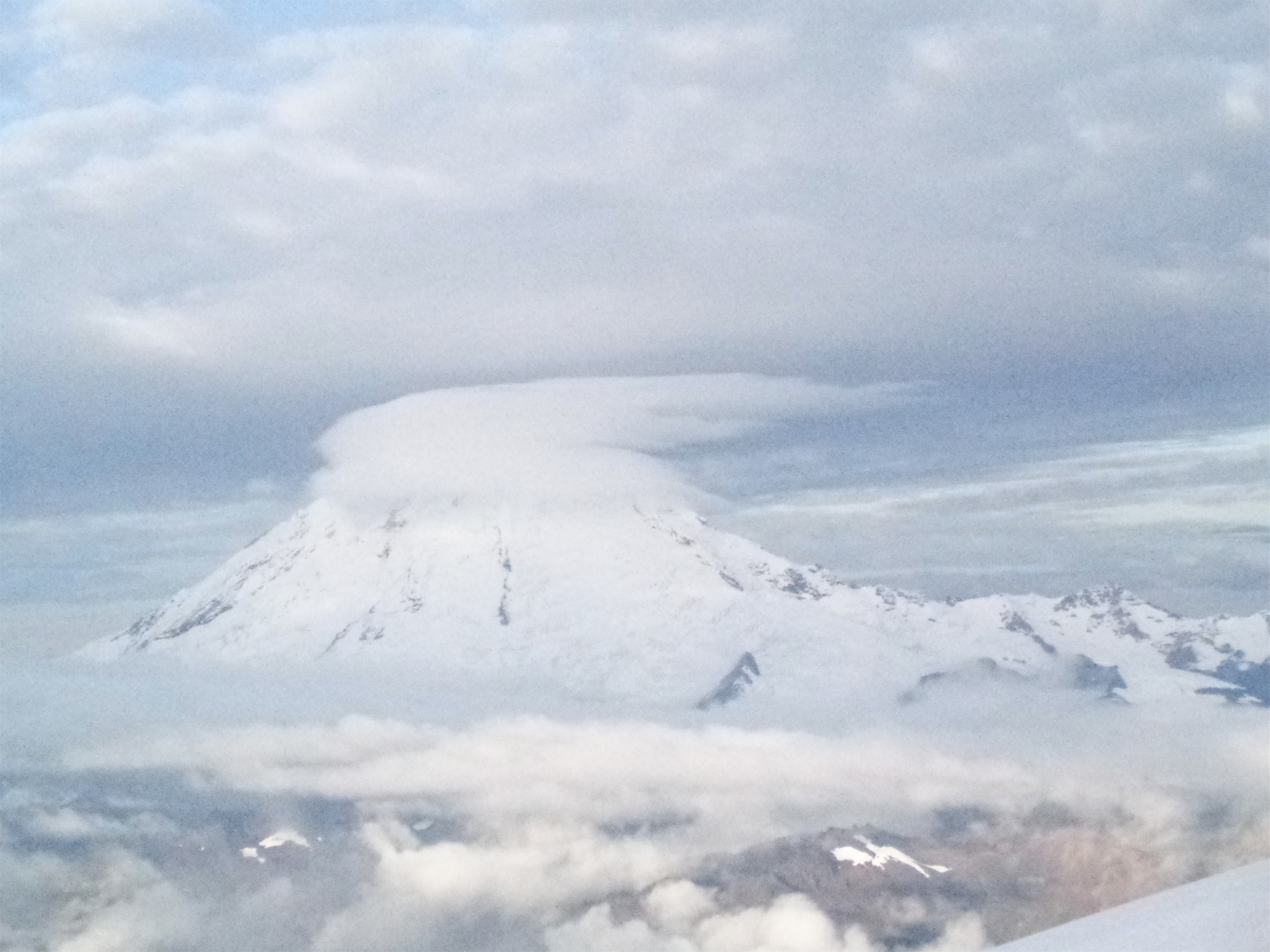
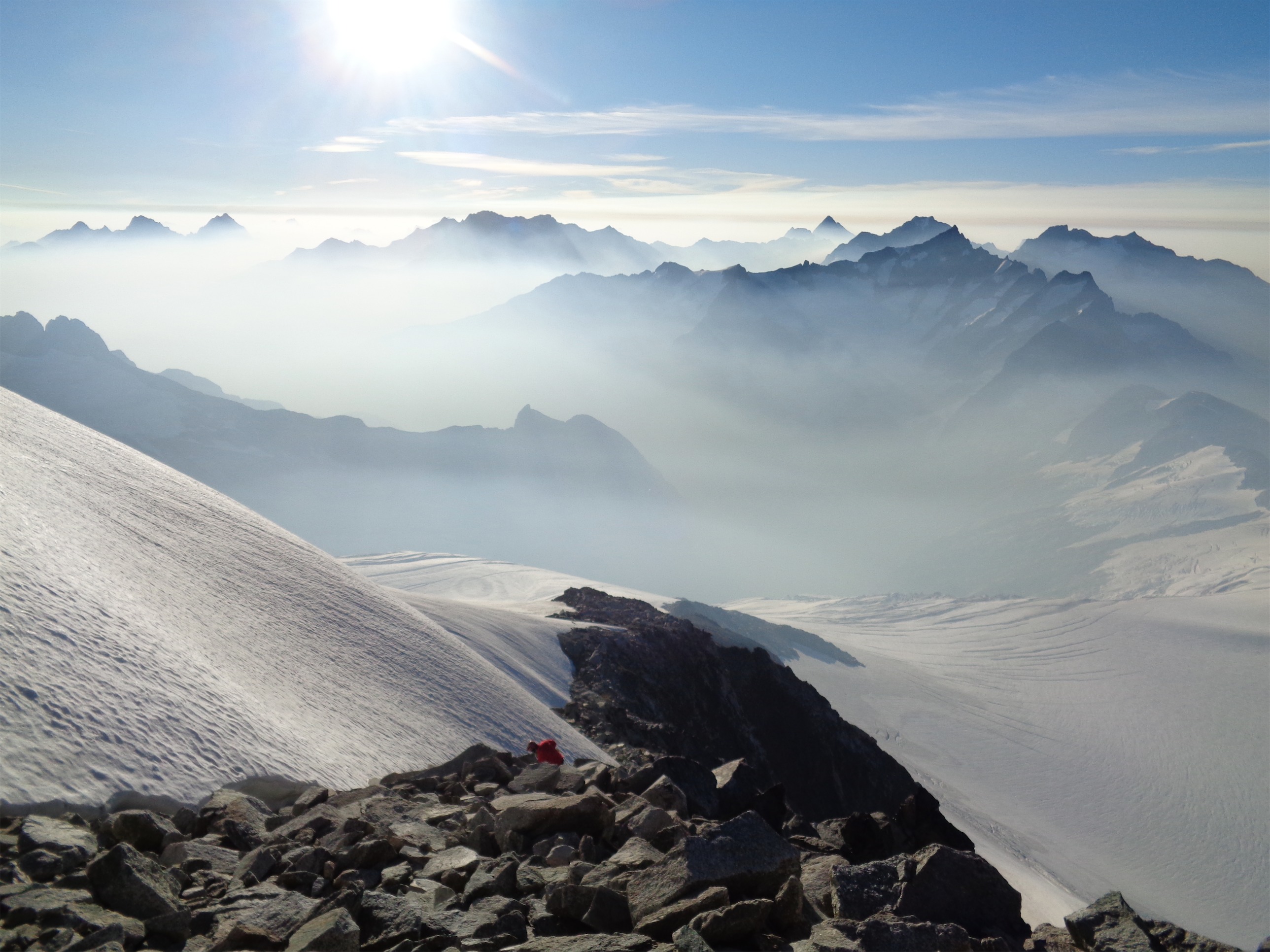
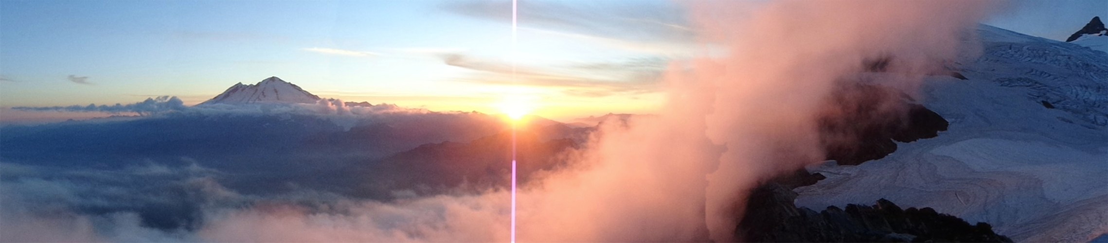
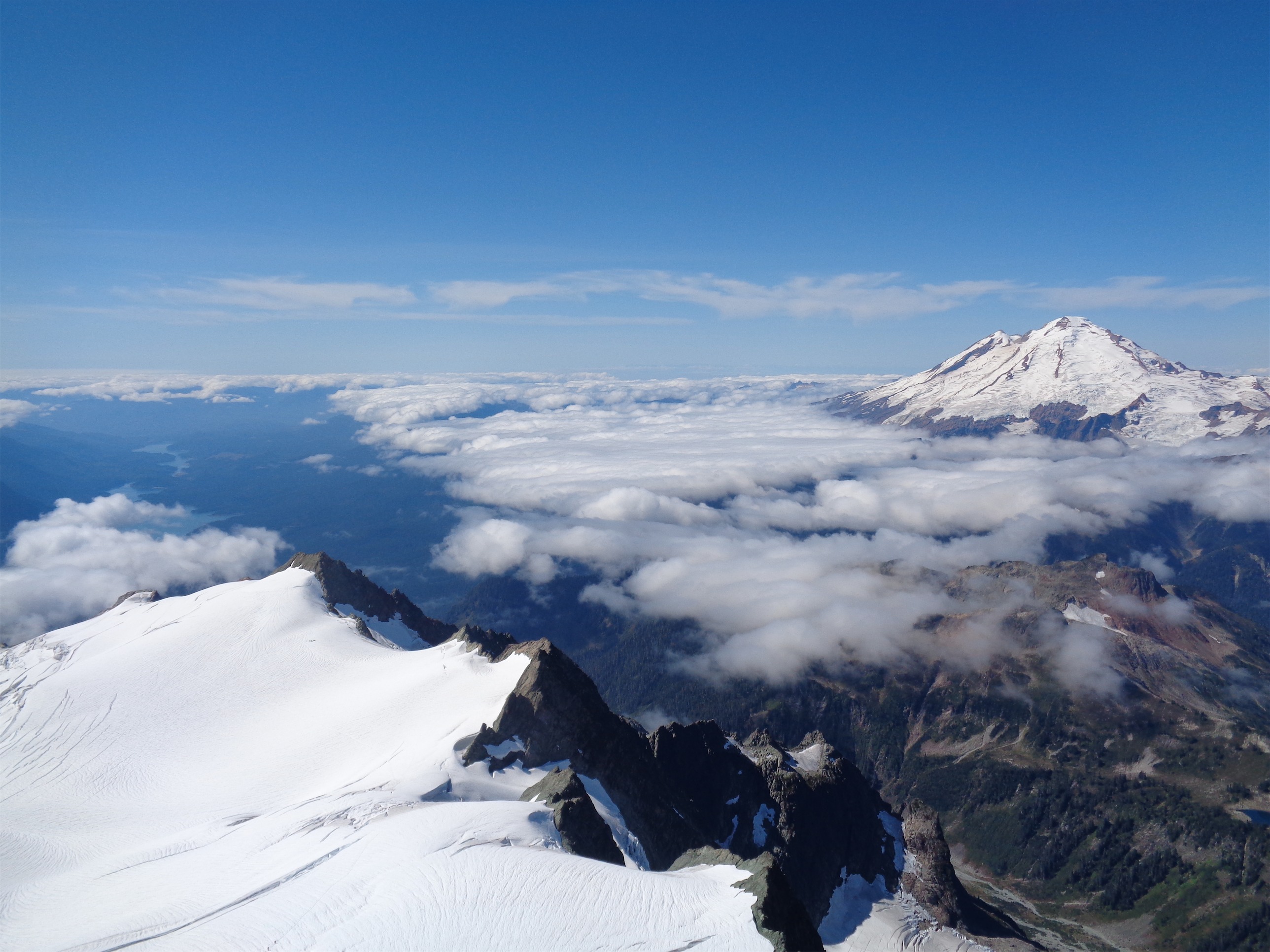
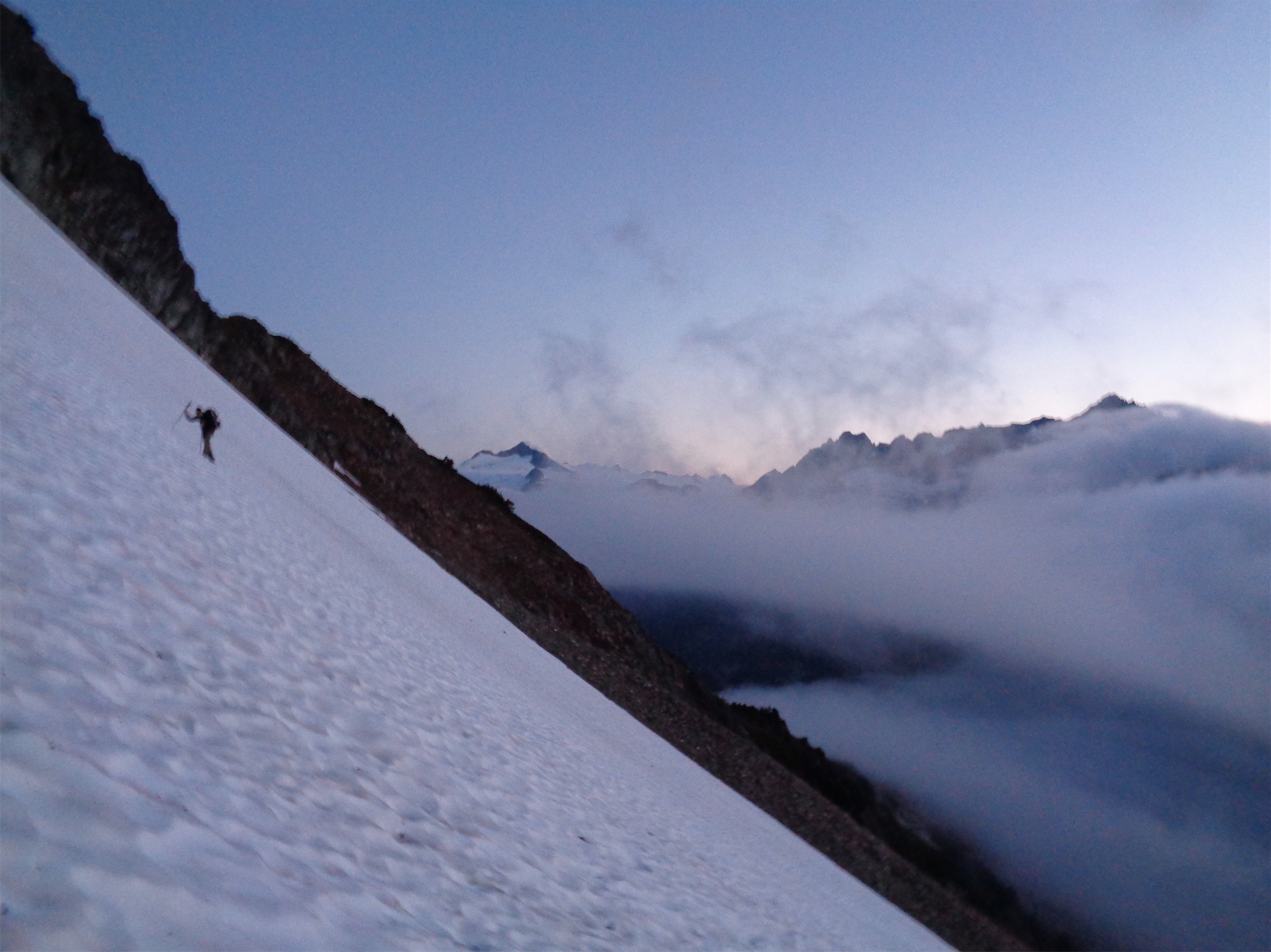
Cloud deck to the west on the way down
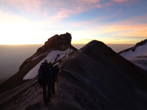
I quickly moved up the gully until boom, summit. The views were stunning. Cloud cover below us to the west, sunshine up above, Old Guard (yeah I’m not over it) and Sentinel in the distance. And some other peaks, like Boston and Sahale but I’m obsessed. And a brilliant turquoise lake beneath the jagged, no name ridge. Eve Ridge. We could see the trail of the Ptarmigan Traverse below us, and had a brief “shit, we’re far away” moment. Oh well. Like JT said, “those are problems for tired JT.” Deal with it later. Heather Ledges looked pretty steep and shitty from where we were too. Well, tired Eve problems. No point in worrying now. We took a quick break, snapped photos, and headed down immediately. We wanted to at least be back at Heather Ledges by dark.

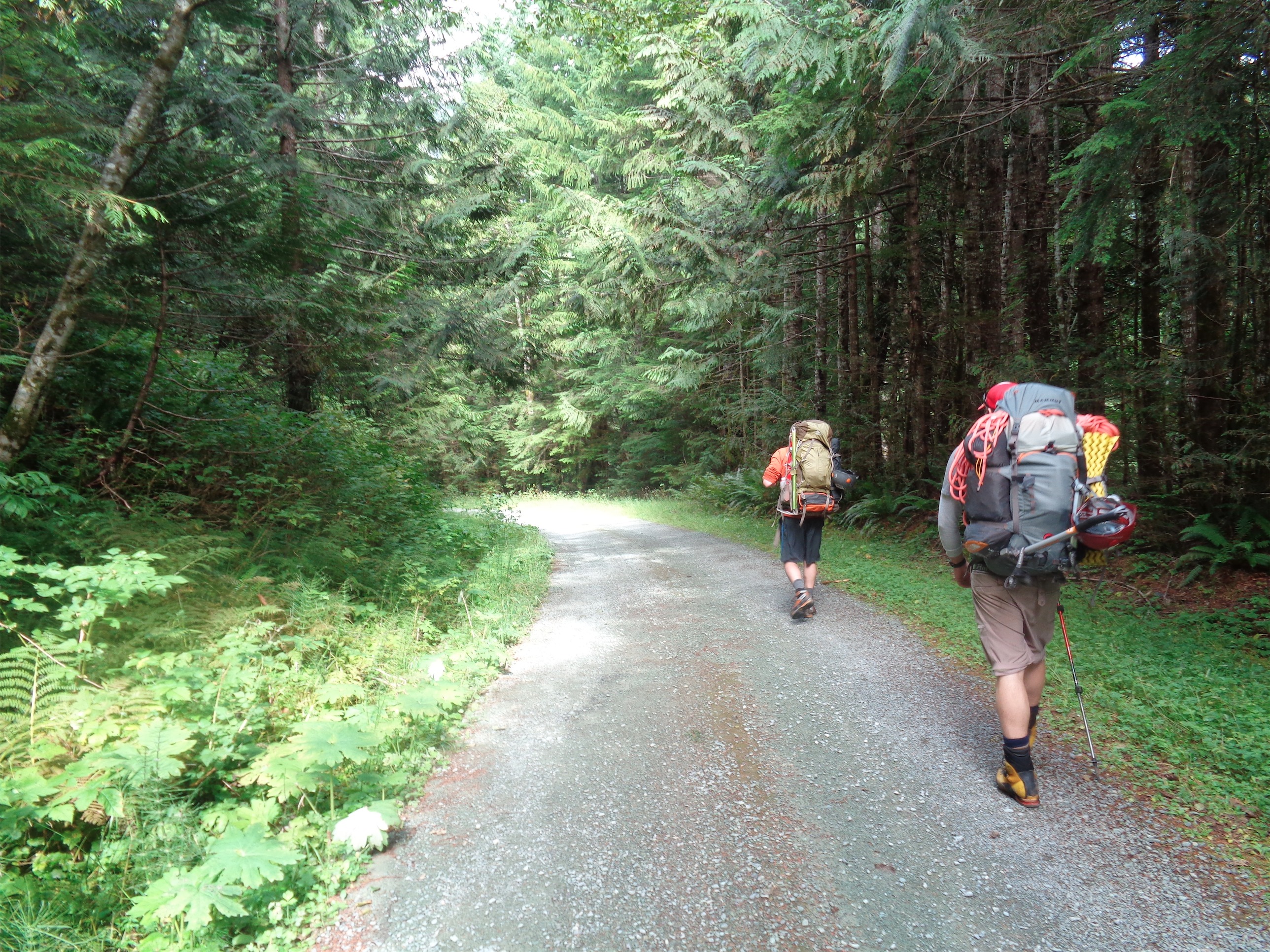
Time to head down
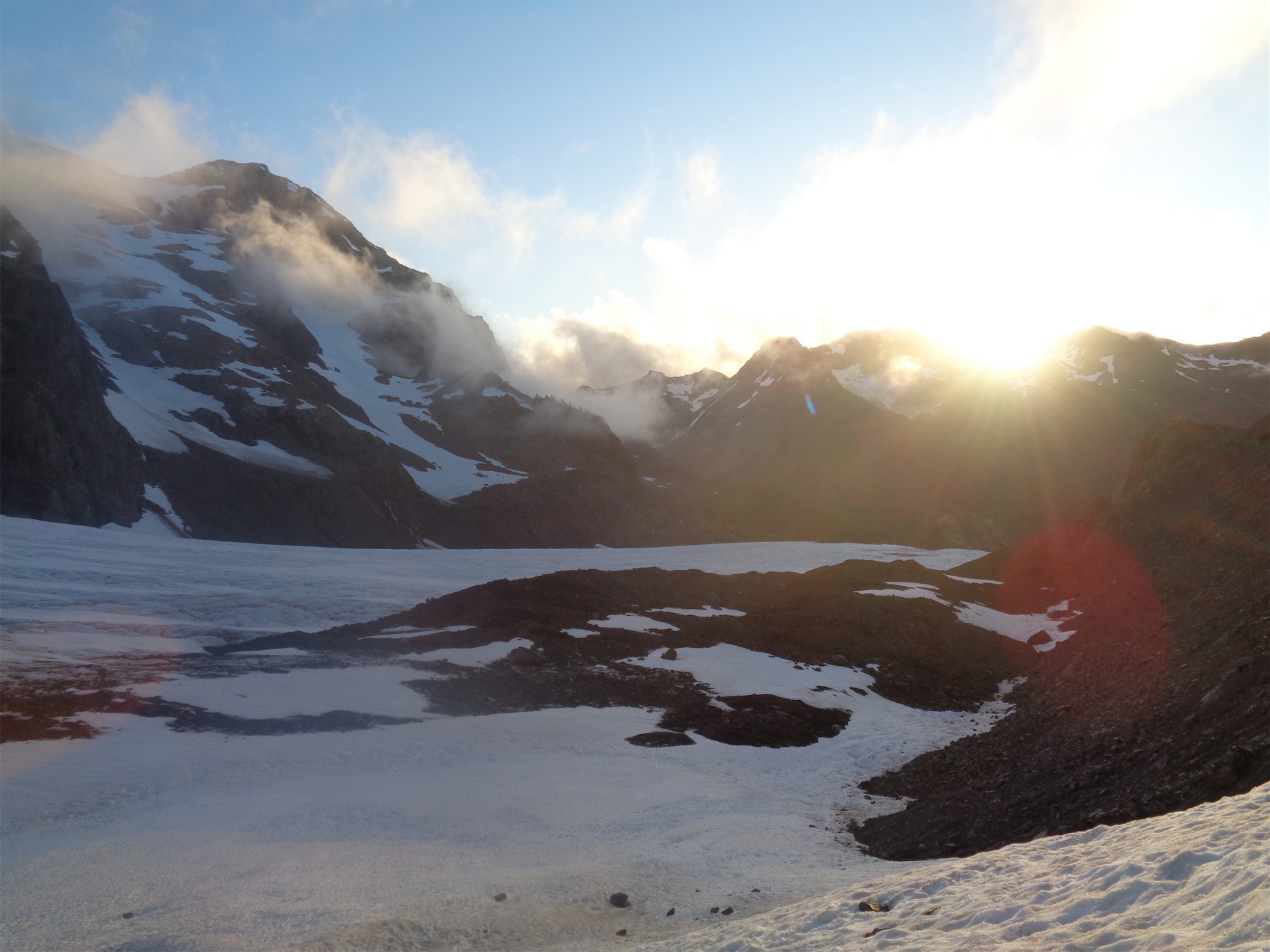
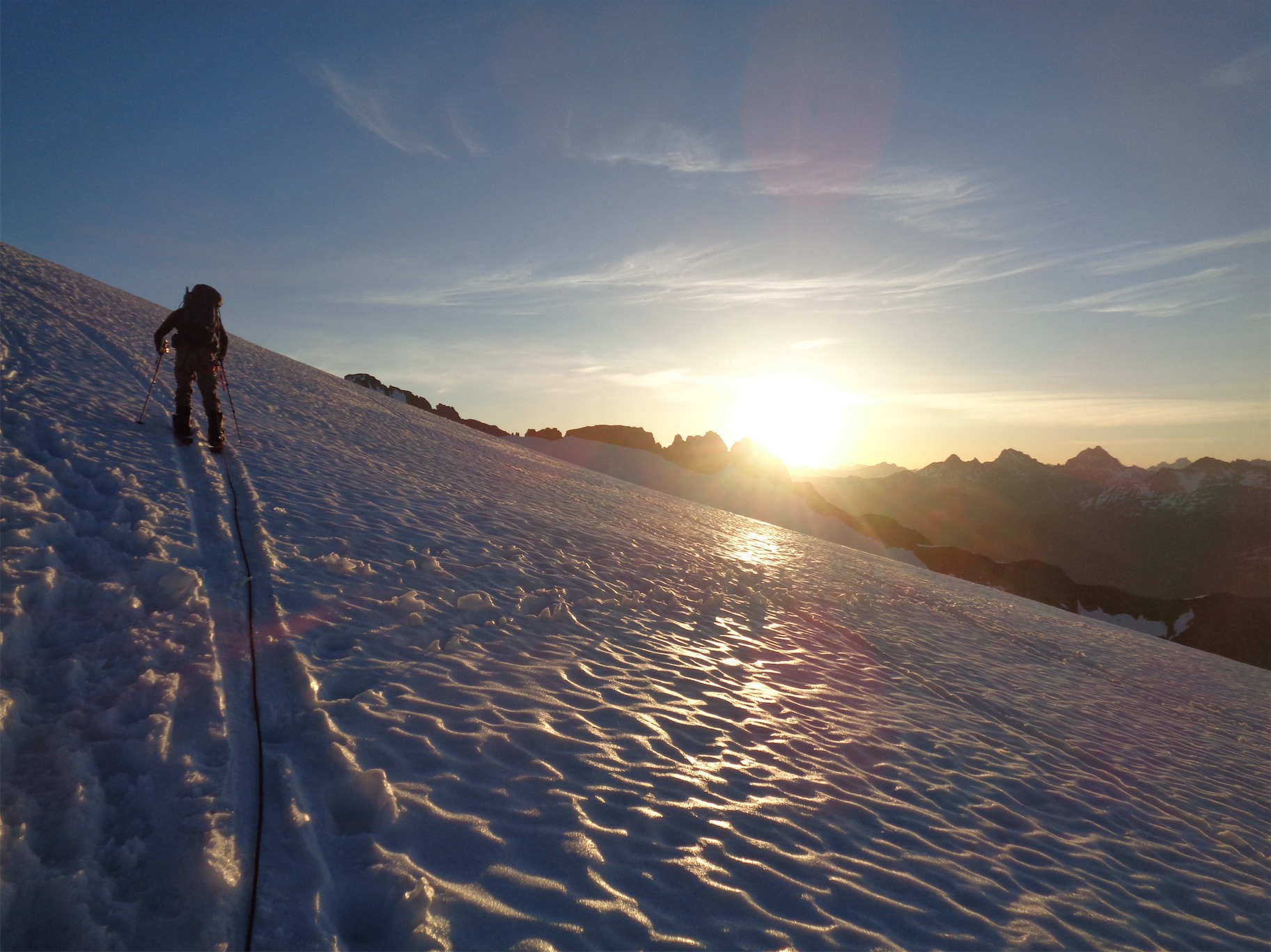
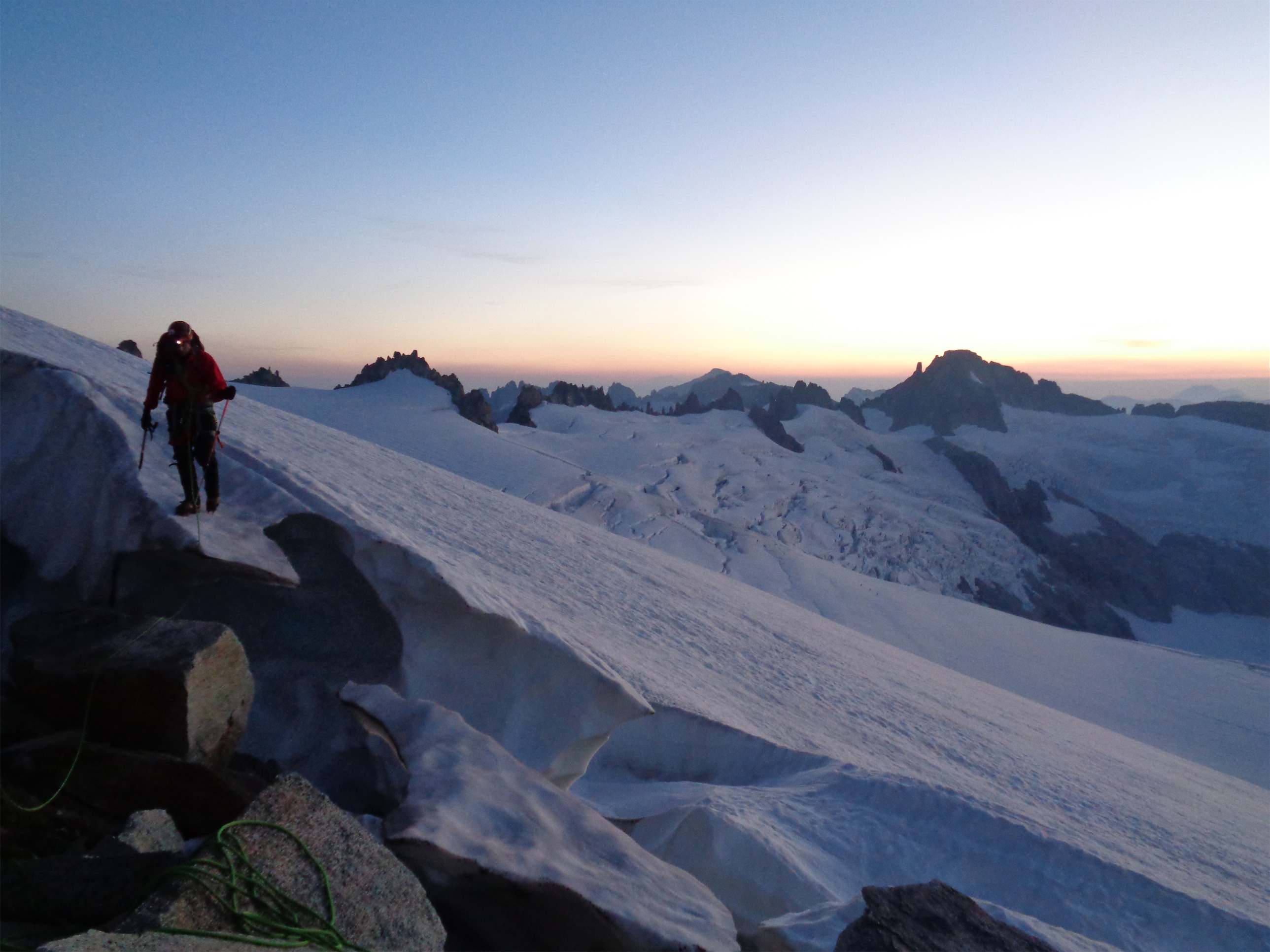
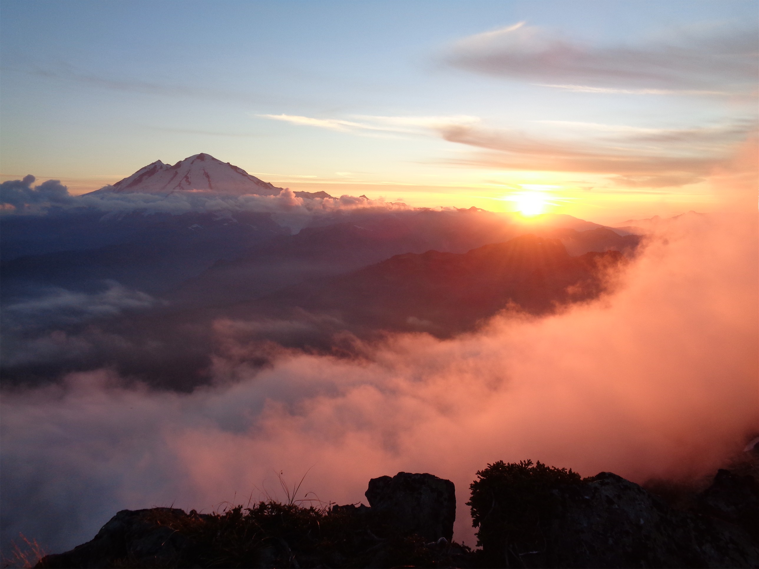
We made it down the gully quickly, and back across the airy ledges. We rapped down our low 5th class gully rather than trying to find the standard route, which was a great plan, and we were making great time, until… the rope got stuck as we pulled it down. Fuck. I looked out across the valley. I snapped a picture of sunset. Similar to Cutthroat peak, I had a simultaneous “wow, pretty” and “oh, shit” moment. JT climbed back up to free it and luckily we got it loose. At this point, the sun was down. We had maybe an hour of dusk before it would be dark, so we started walking.
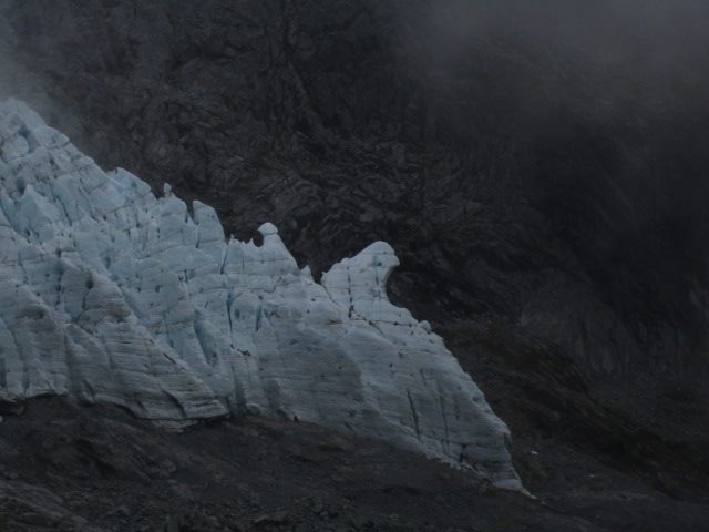
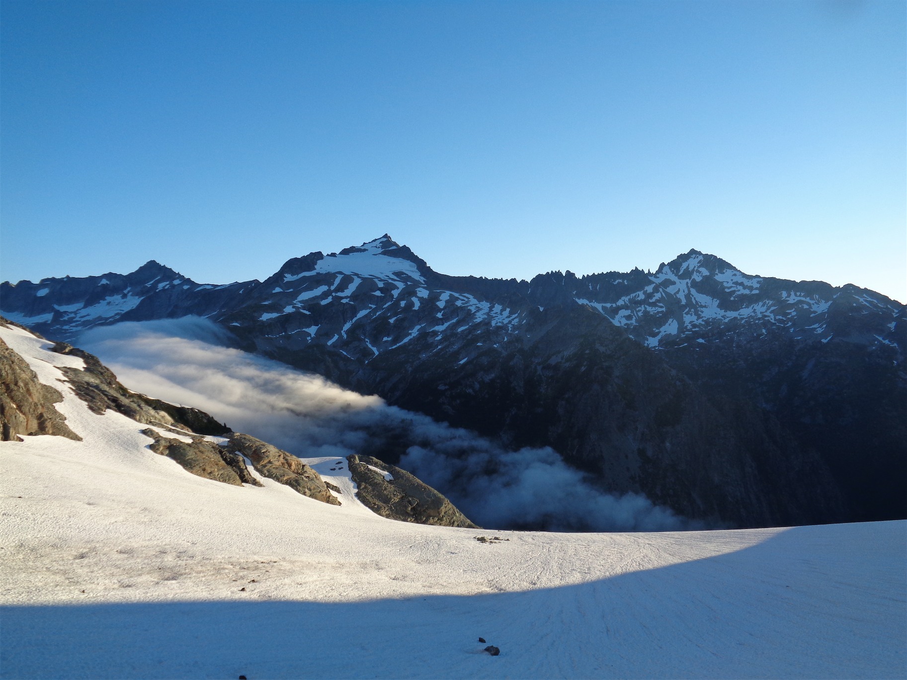
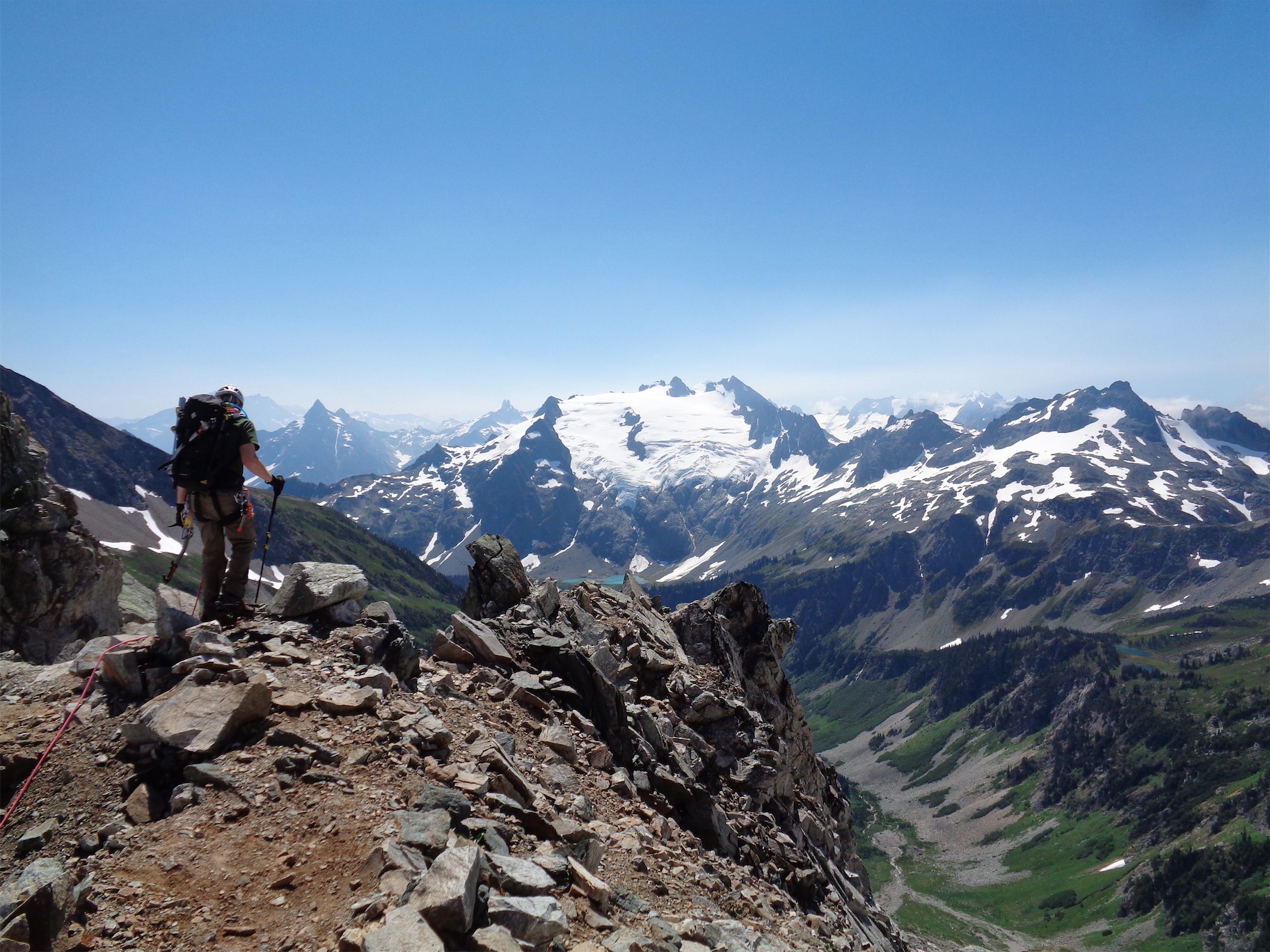
Dome Peak teasing me

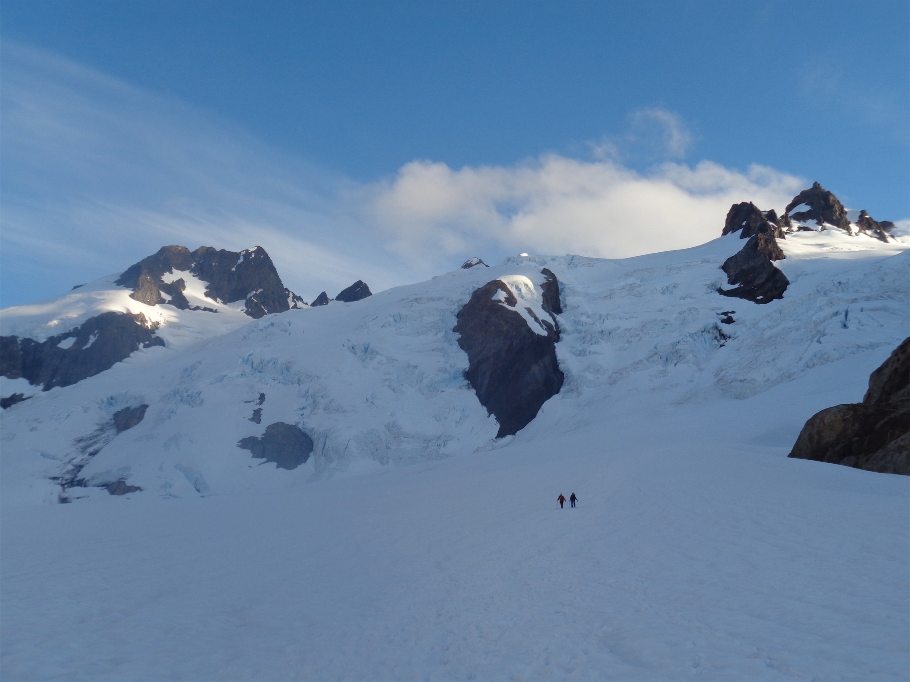
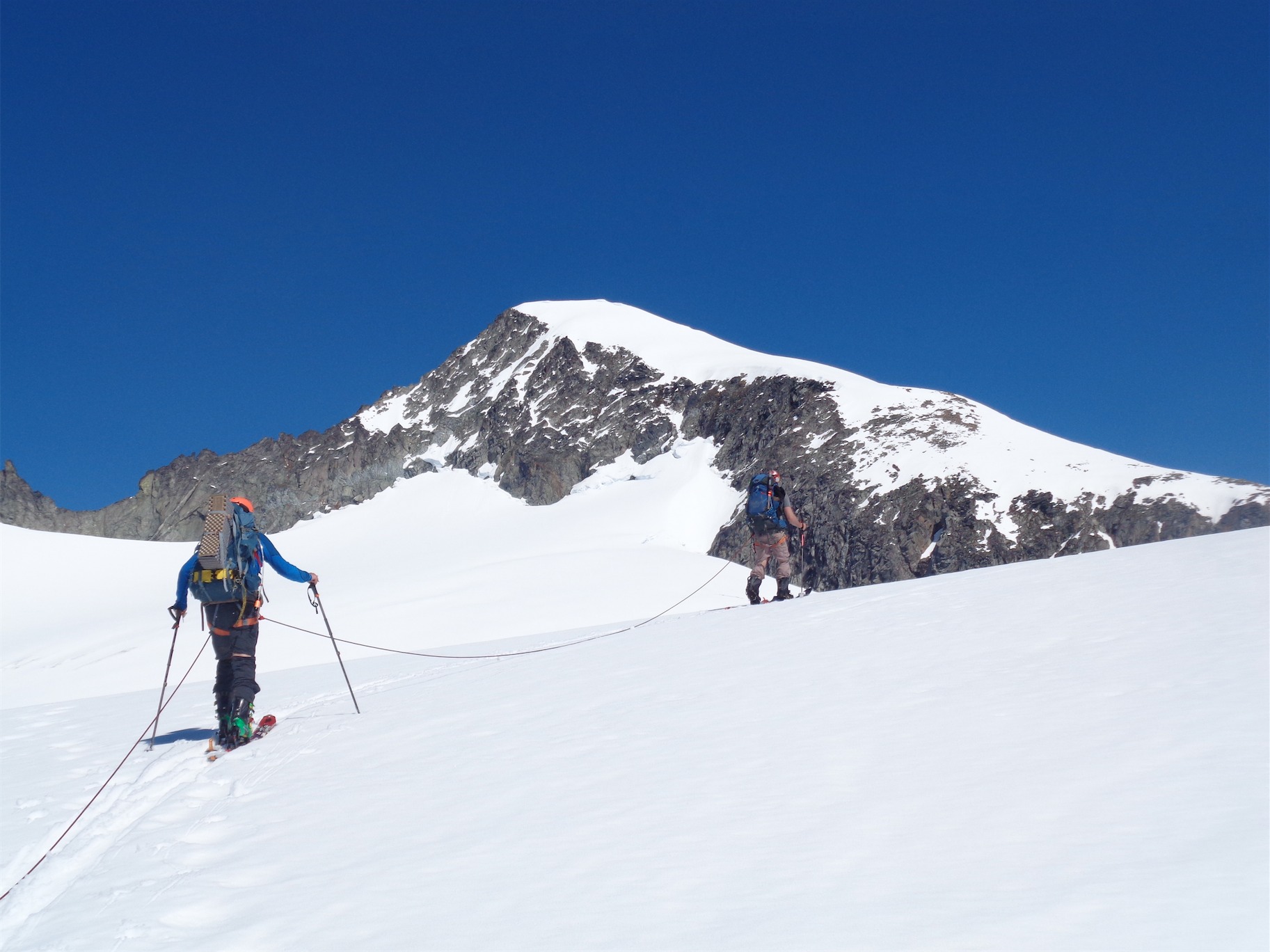
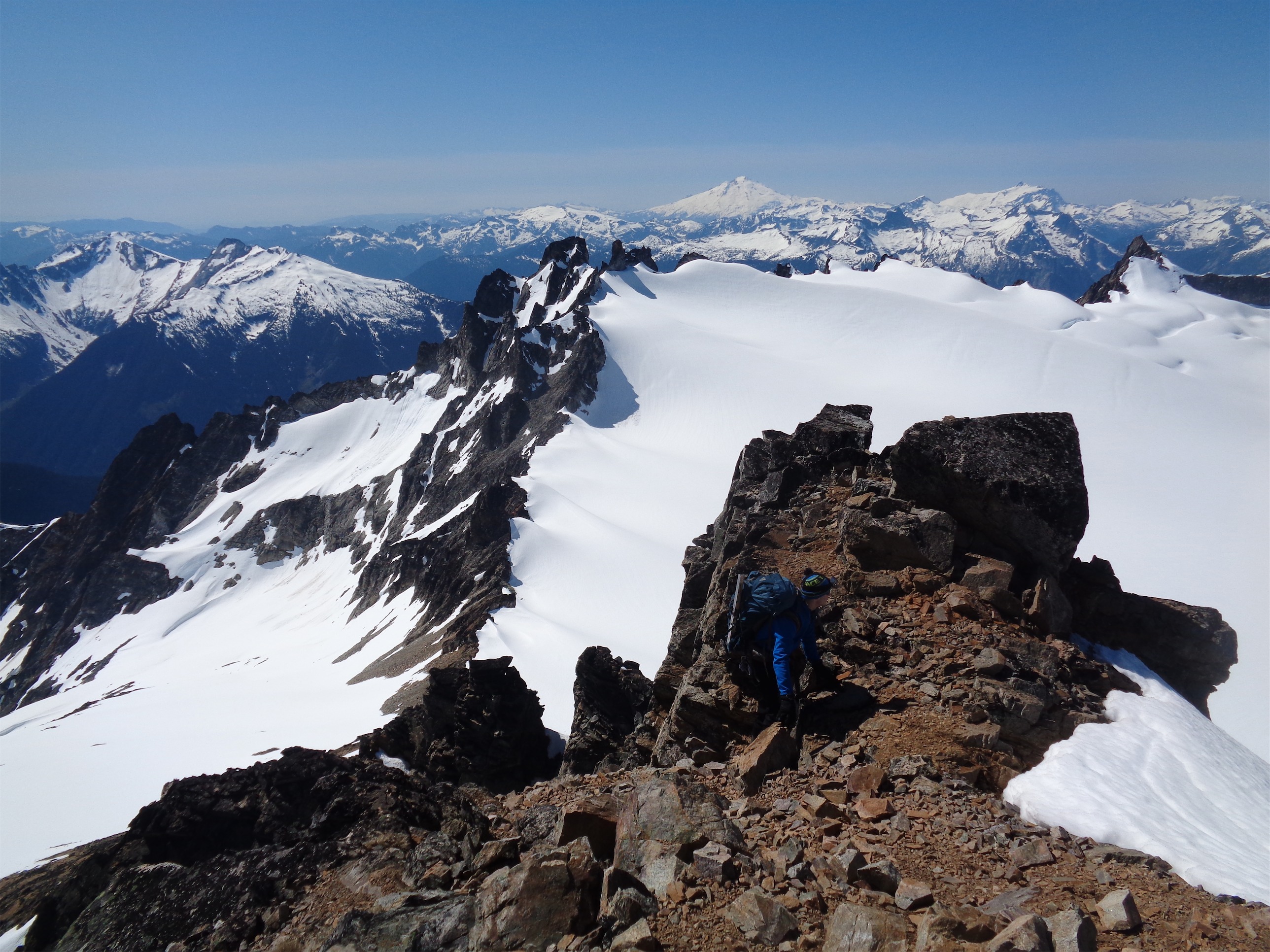
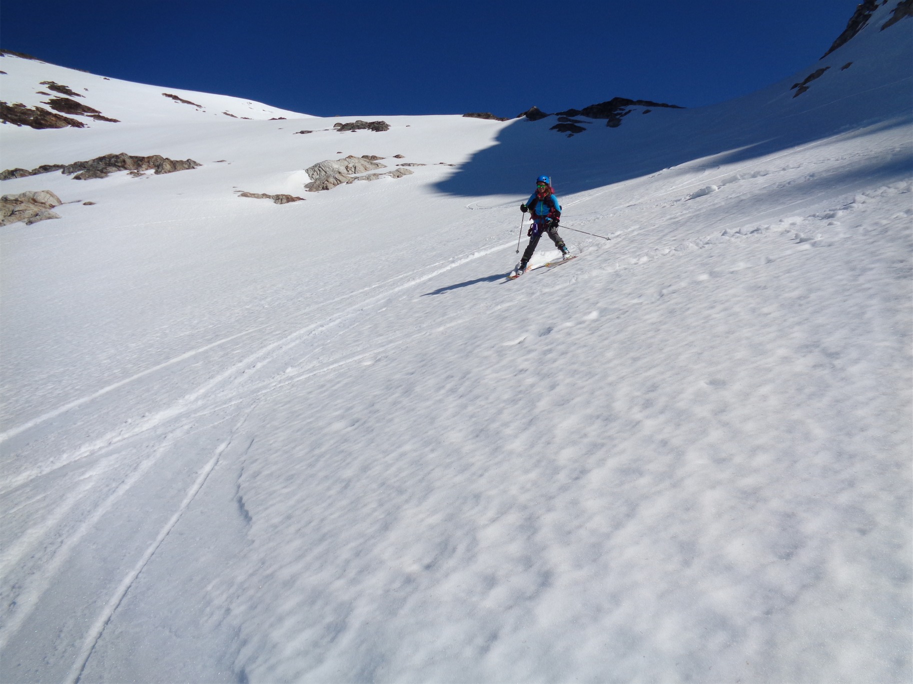
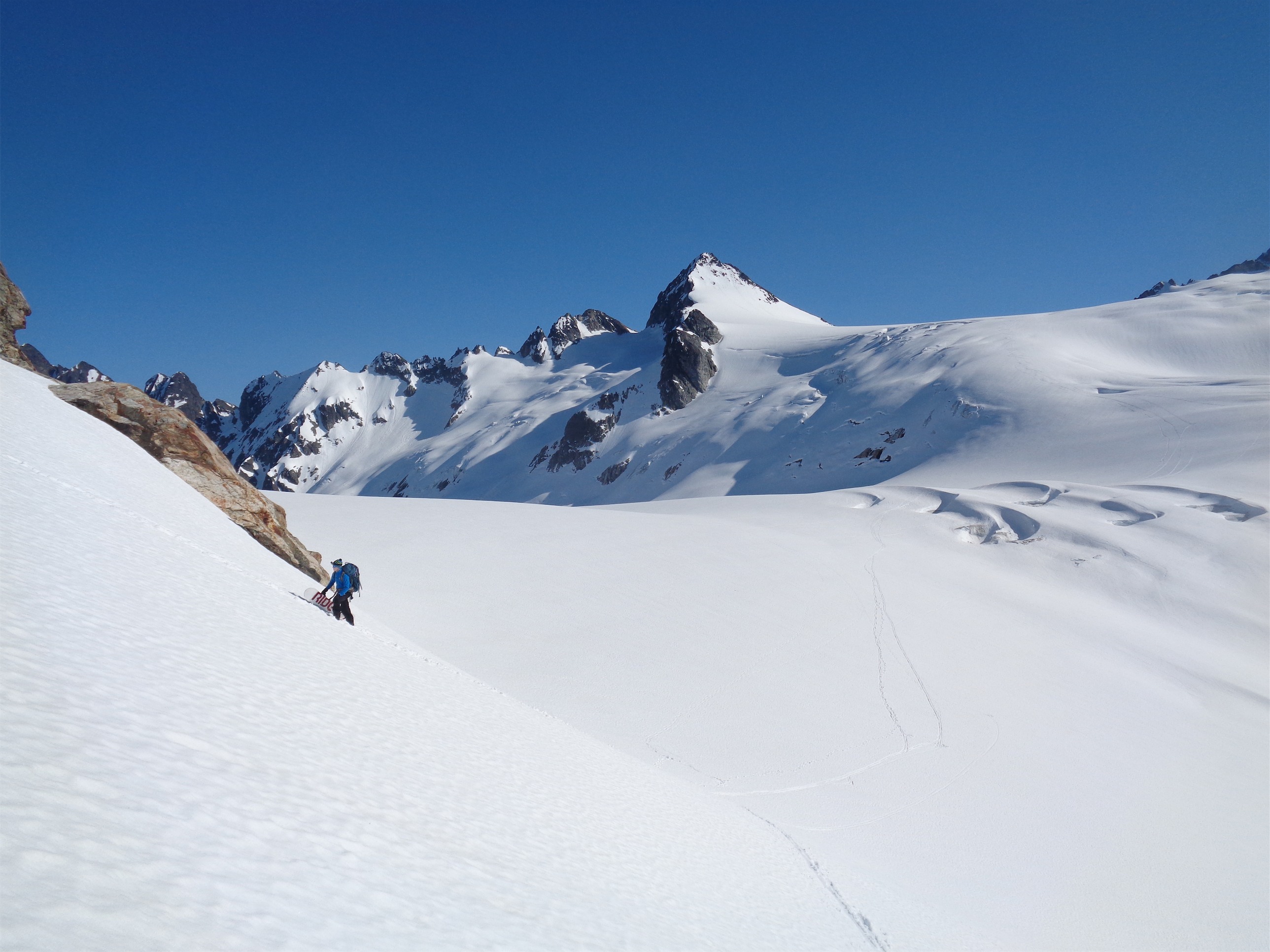
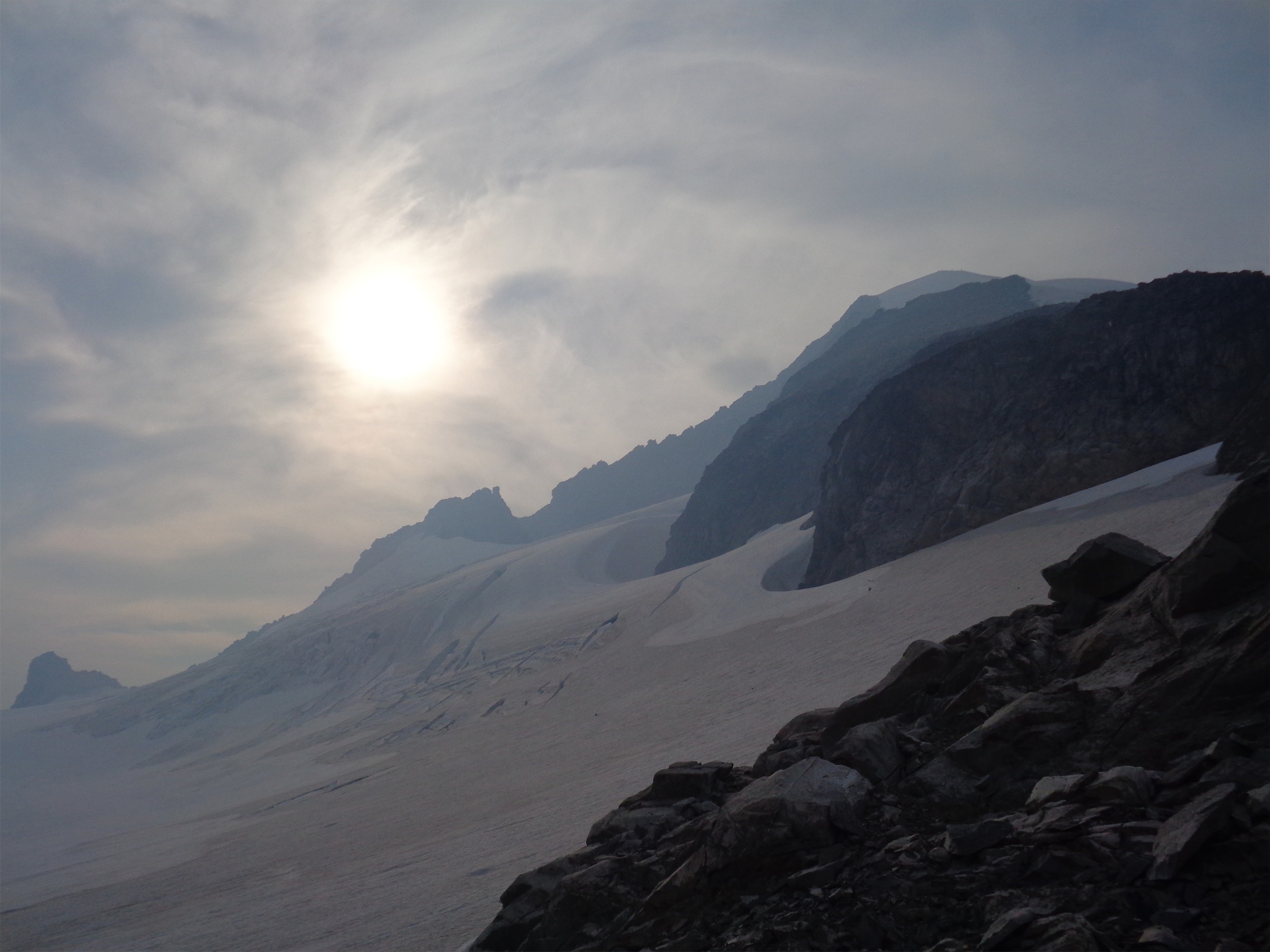
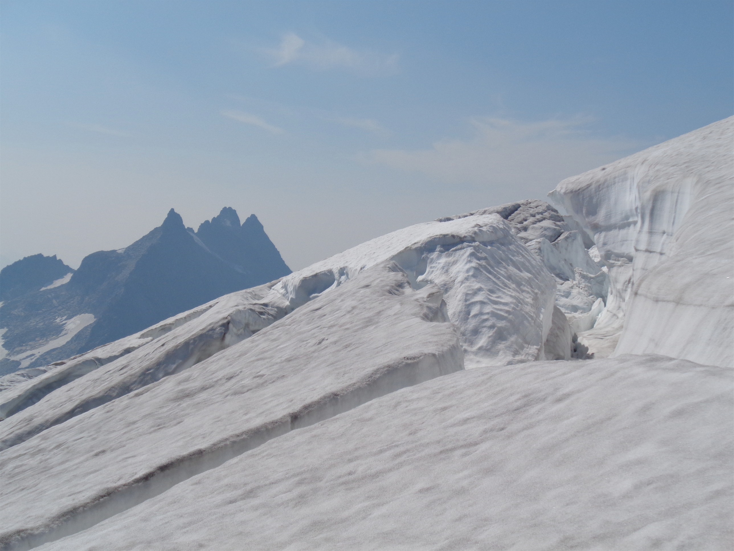
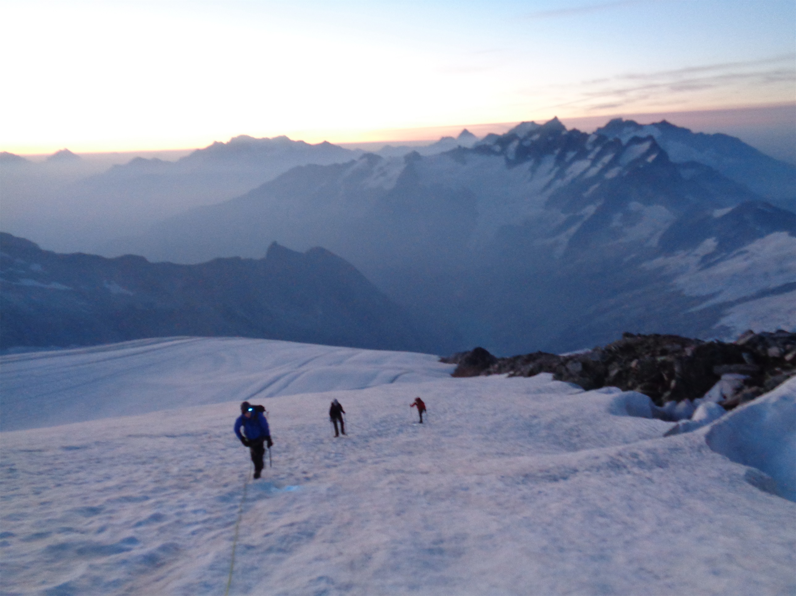
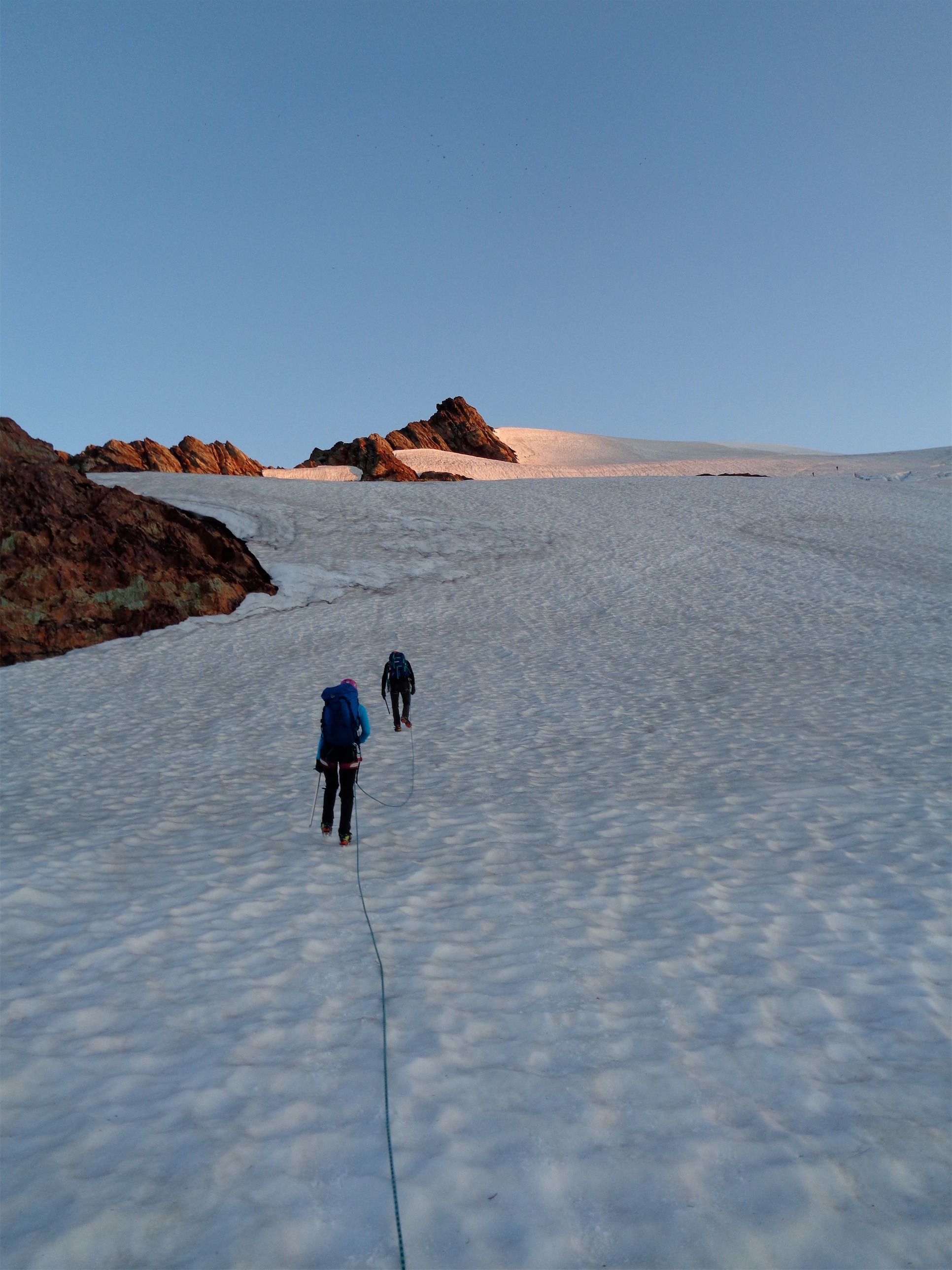
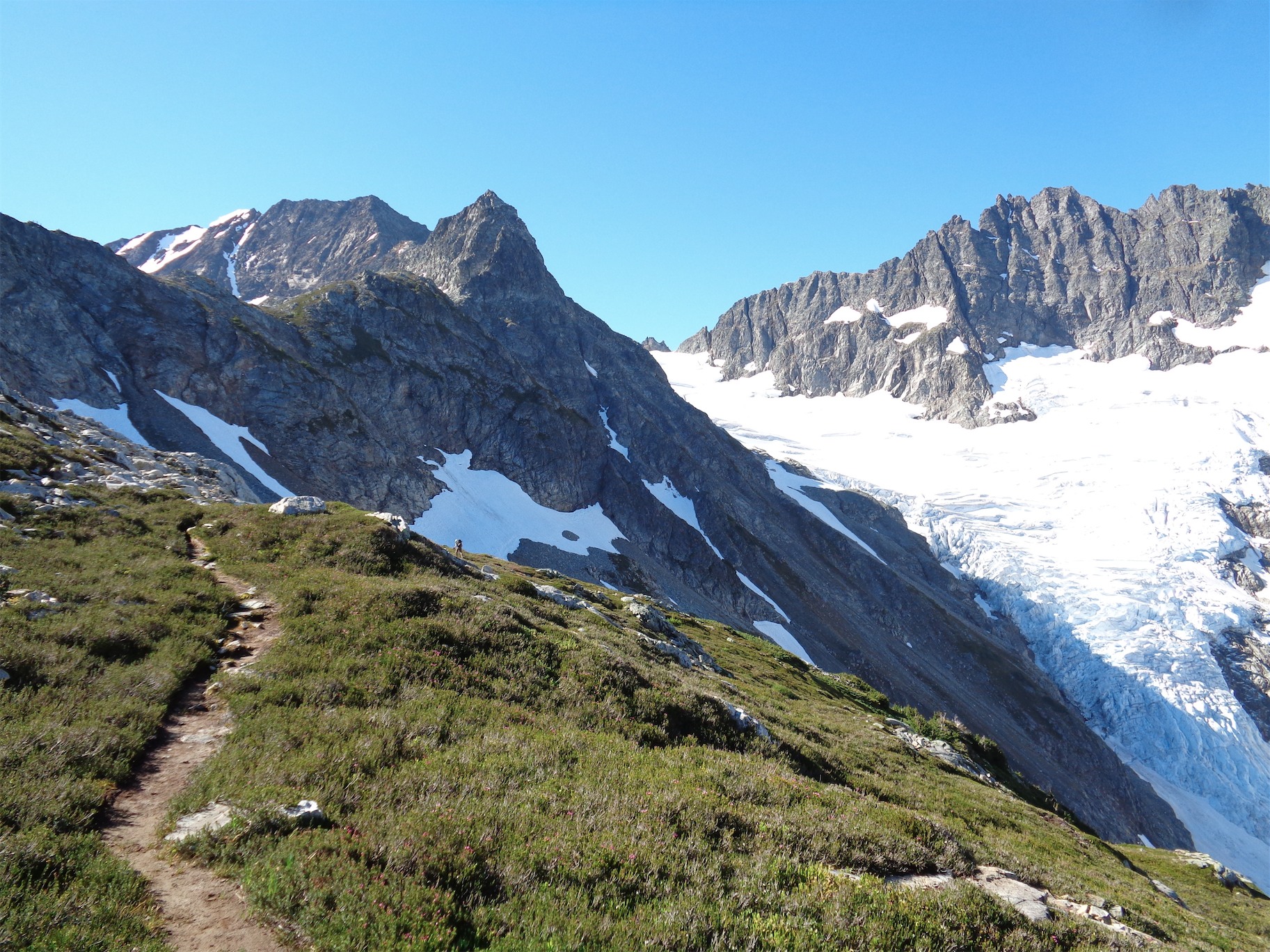
JT and Glacier
We got back to the base of the even-more-nefarious-in-the-dark gully, and scrambled up to the ledges. I destroyed so much heather this weekend. My headlamp was dying, despite having new batteries. Bulb issue? Shut up Calvin, if you’re reading this I don’t want to hear it. At the top of Heather Ledges we took a break and contemplated bivvying there. “We could just…..keep going” “bivvy here!” we said simultaneously. Shit. Suck it up, we’re gonna keep moving. At this point my feet were lovely swollen painful pruny shredded stubs. I missed my hiking poles. I’d have been limping if it was one foot, but it was both, so I just hobbled. And I couldn’t turn my ankles, since the boots had left huge gashes on my ankle bones. They’d just buckle any time I put pressure on the sides. So that was great. But we weren’t camping at Heather Ledges. We needed to at least get back to the col.
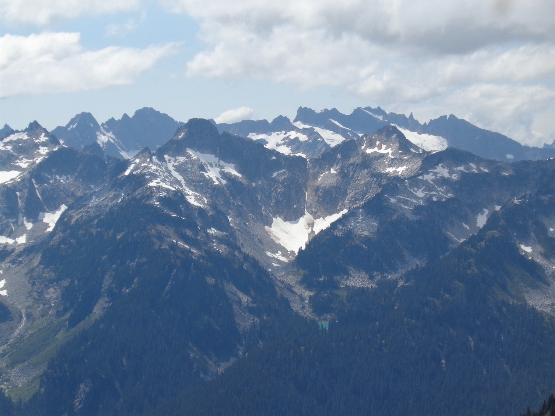
No Name Ridge (Eve Ridge!) in the foreground above that turquoise lake, Buckindy back left
We agreed on the suffer stretch and started off. It was an eternity. Pitch black, thousands of stars, tiny sliver of a moon, entire Milky Way scattered above us. I was exhausted. JT laughed in front of me. “My mind’s playing tricks already.” Eyesight gets funky when you’re exhausted. “I thought that stick was a boa constrictor!” Great, it hasn’t started for me yet but I was sure I wasn’t far behind. For me it’s rocks that look like tents, dead trees that look like zombie creatures, wind that sounds like voices next to the trail. Luckily we were above treeline so no creepy shit. We took breaks every 20 minutes or so, maybe more often and just every stretch felt so long. At one point I flopped down on my pack. “Well, I don’t know about you, but I’m thoroughly enjoying this.” I cracked up. That’s JT. You push it all day just to savor the point of exhaustion when you’re lying on a glacier dozens of miles from civilization looking at the entire galaxy wondering how you ended up here and why you think it’s fun.

Another break on the way back to Heather Ledges
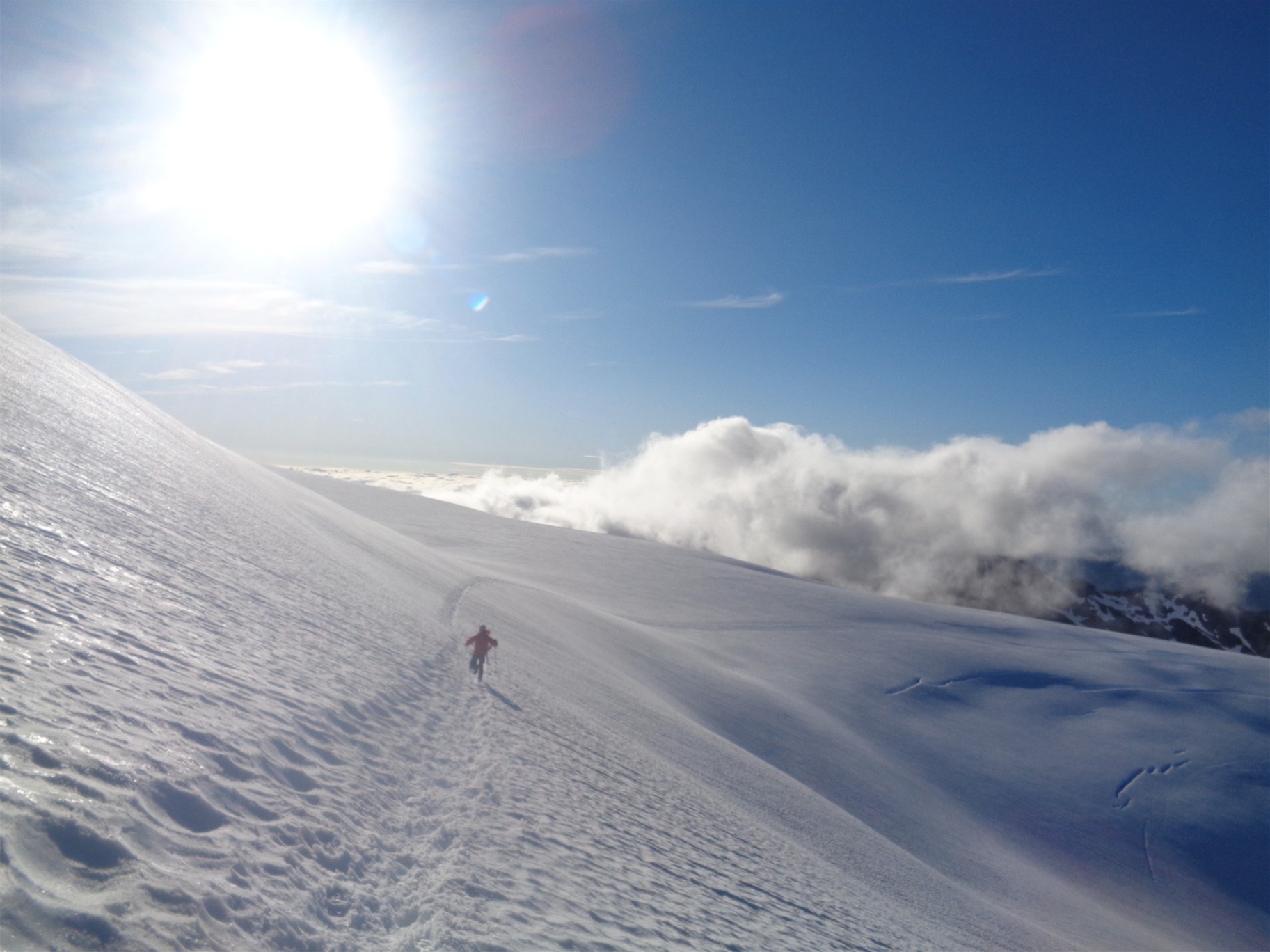
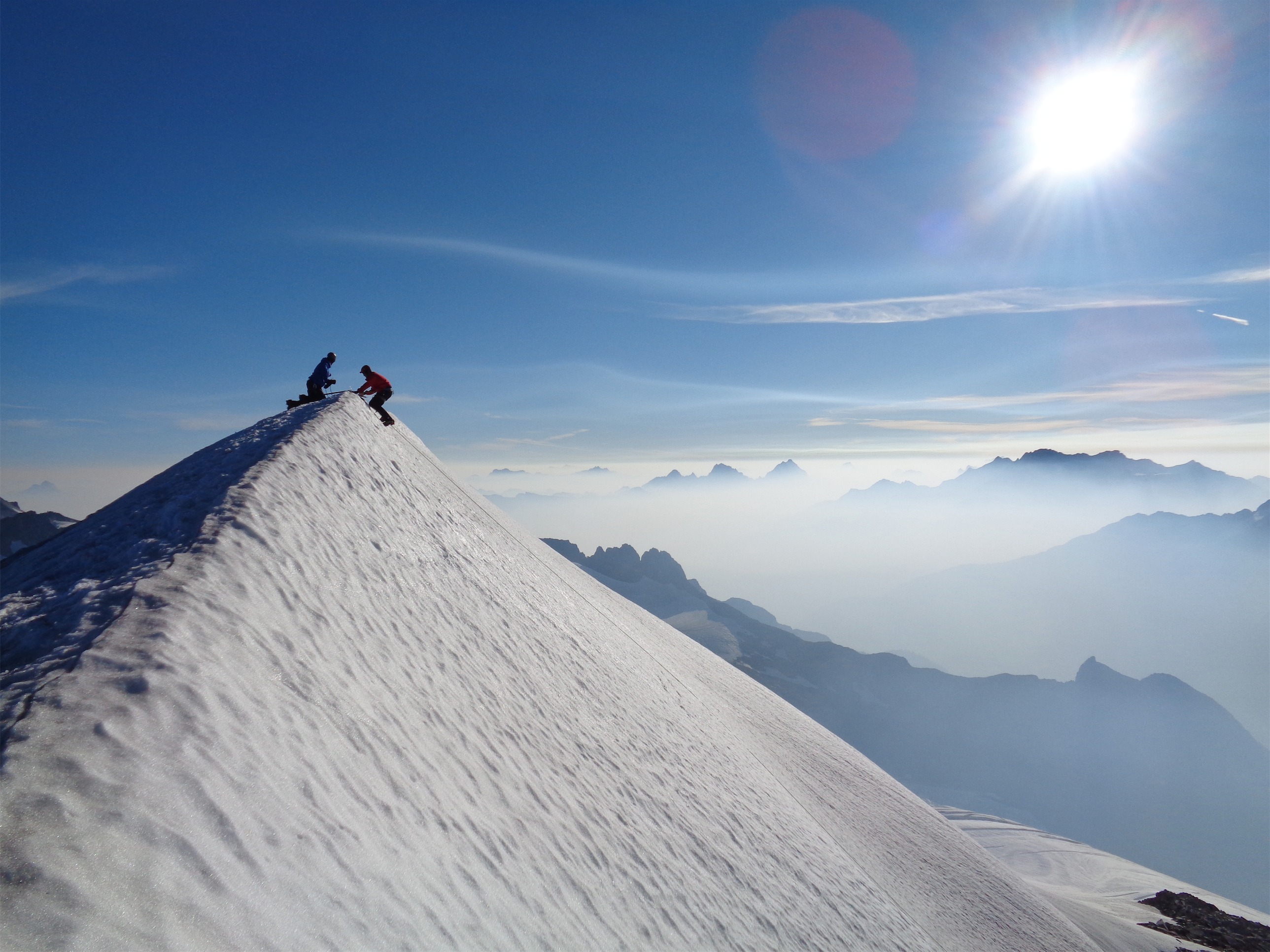
The struggle back up to the col was tough, but singular. Even though you’re tired, it’s kicking steps in steep snow, and you sure as hell don’t want to slip. It was warm enough that it was soft which made kicking steps easy. It was Andrea who pointed it out on Cutthroat Peak a few weeks ago. Climbing is so singular. You need to focus and you need to focus on this one thing and nothing else and that’s how the short climb to the col was. Just me, and a snow slope, and my tool and my boots and the stars and the shine of JT’s headlamp above me.

“Oh how pretty!” “Oh, shit.”
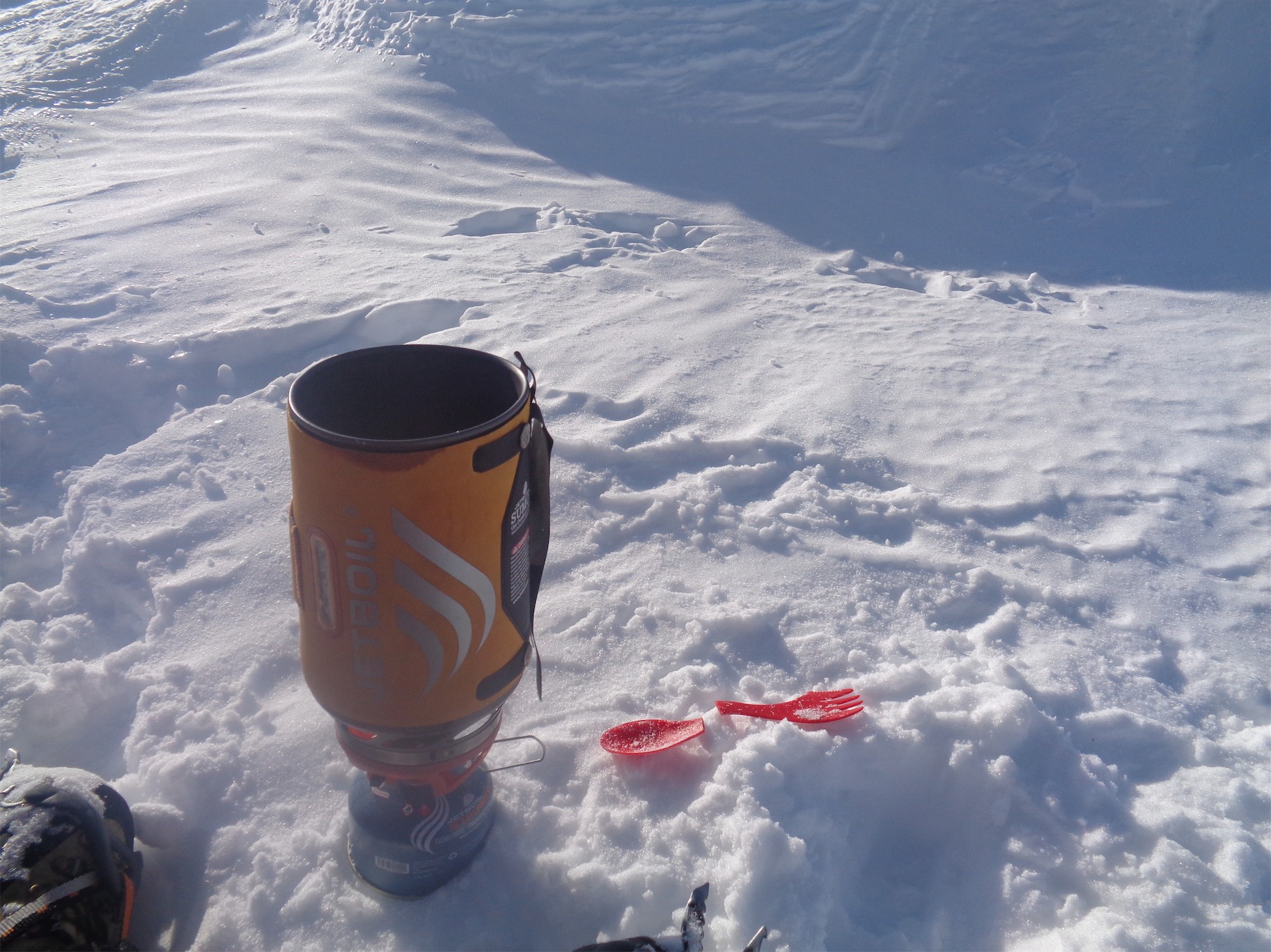
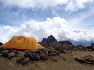
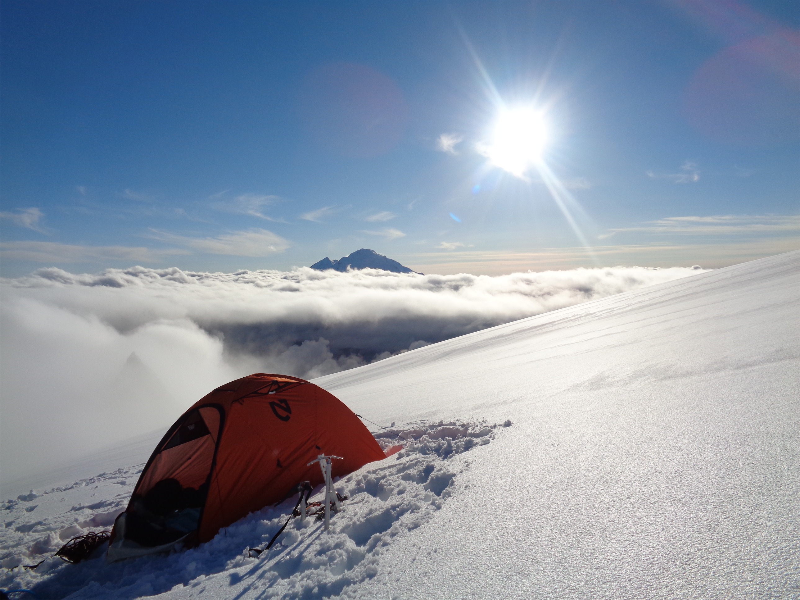
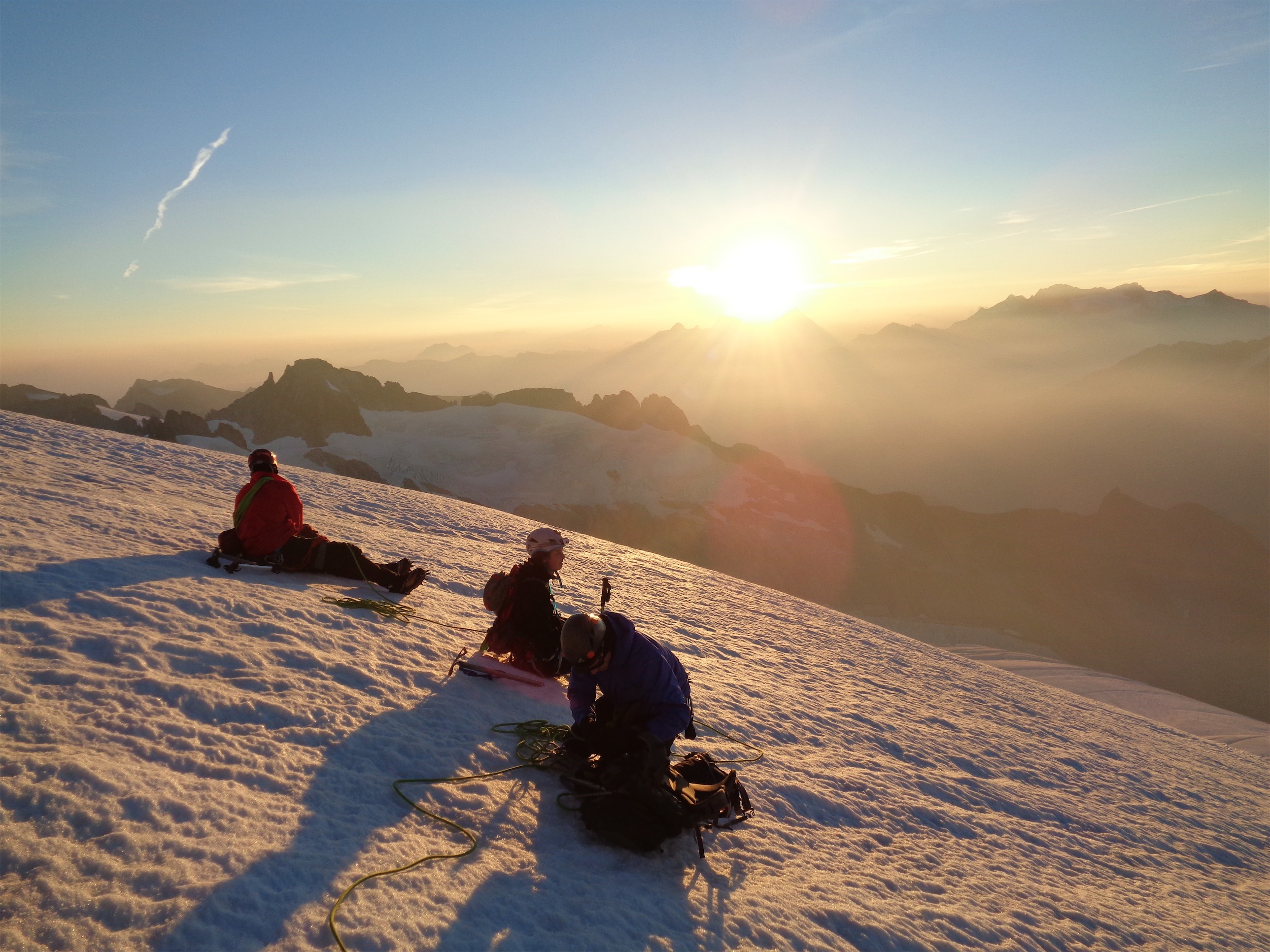
Our bivvy spot was phenomenal. I felt like a princess with my bivvy and sleeping bag liner. I put in my headphones (11th essential: ipod shuffle) and dozed on and off, snuggling my pack for warmth and using the rope as a ground cover with visions of Excel spreadsheets and emails in front of my eyes. My feet and socks were still wet, I debated between warm wet wool and cold dry feet. Ugh. Everything kind of sucked, but you know you’ll be fine so you just wait it out. I only know I slept because I have vague memories of spreadsheets, which means I dreamed about work. I dreamed about work, sleeping at 7,000ft in a bivvy in the most beautiful section of Washington. I obviously wasn’t uncomfortable enough.

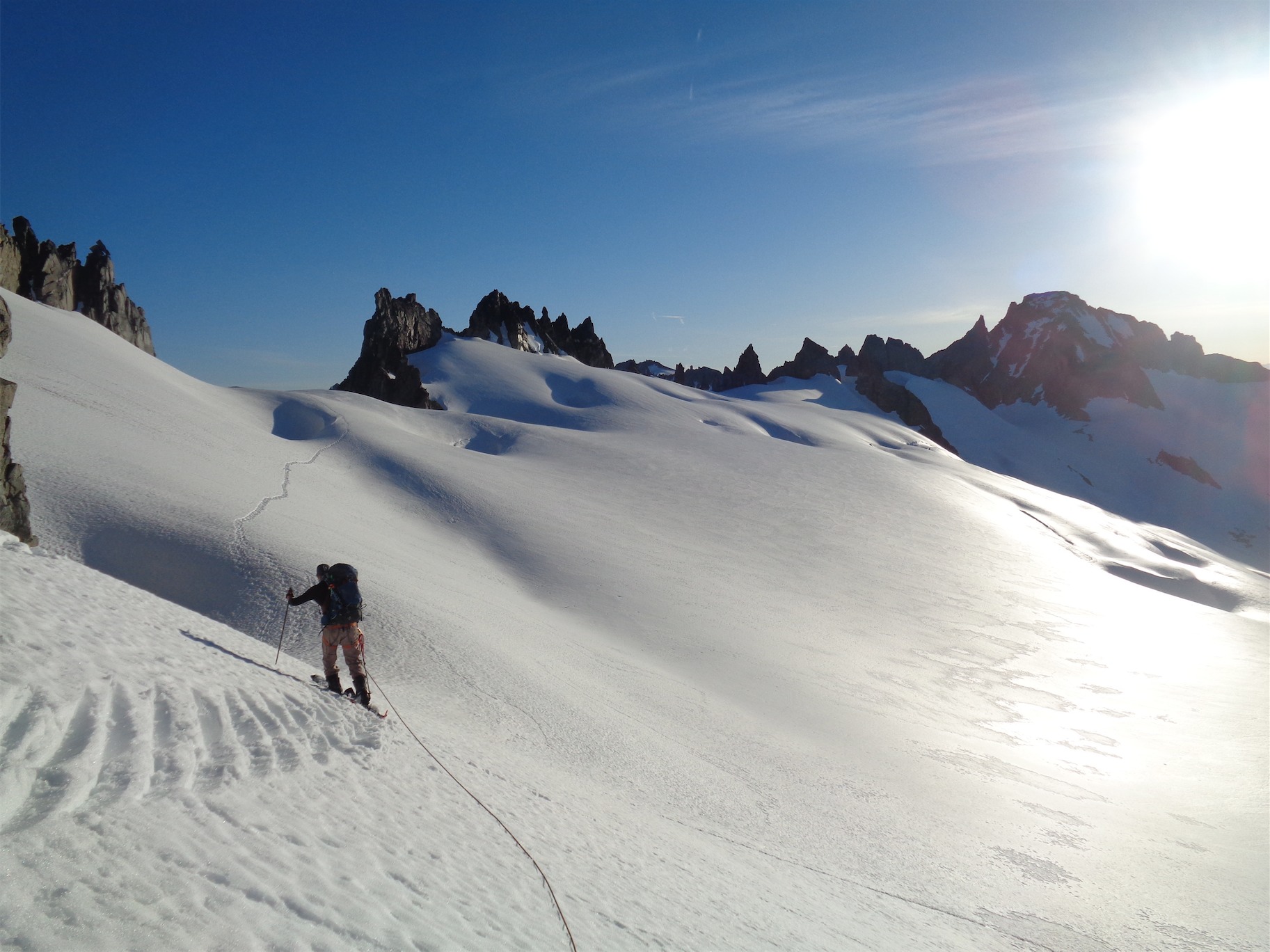
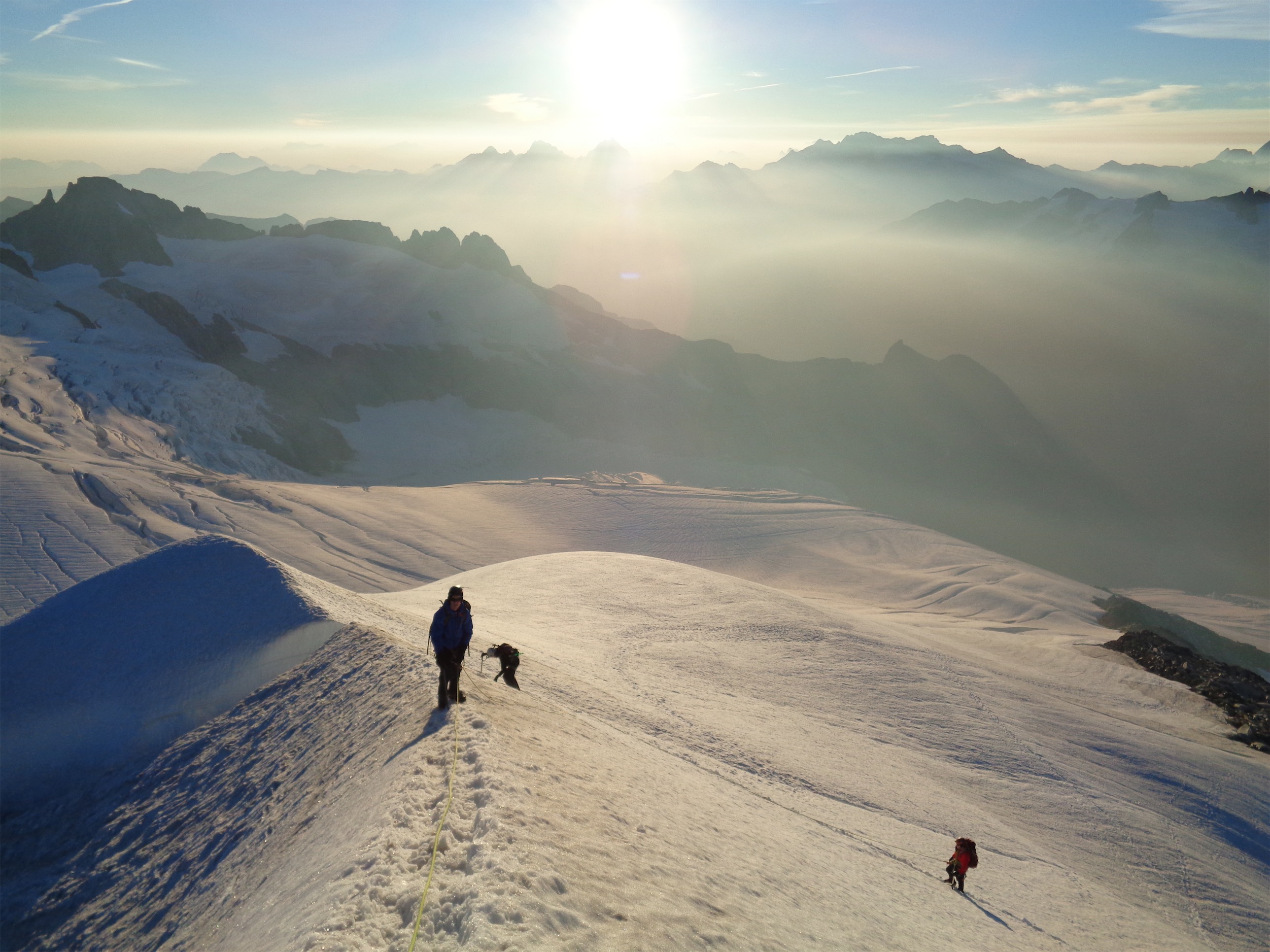
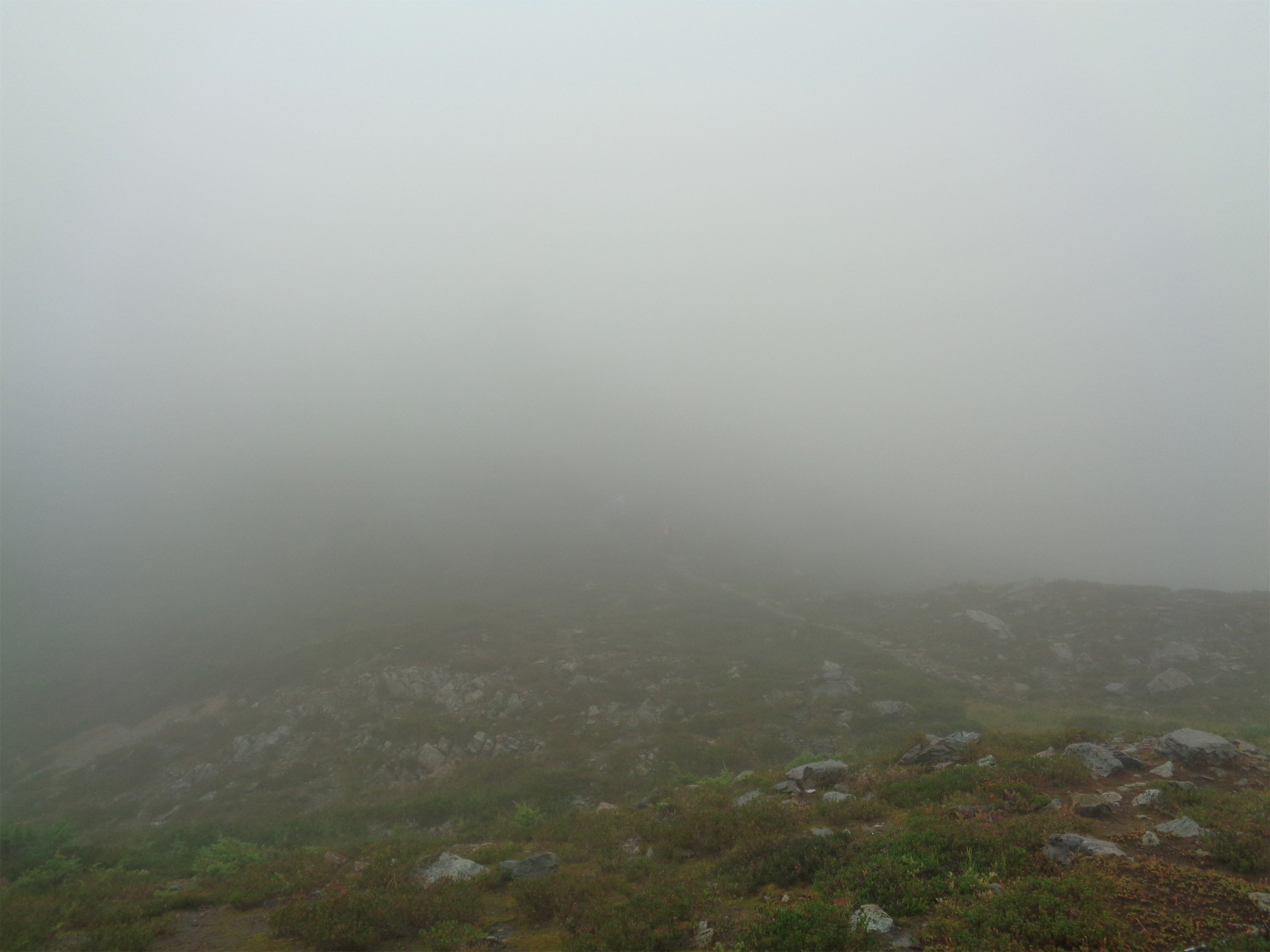
Waking up at our bivvy spot, Yang Yang Lakes and Heather Ledges covered in fog
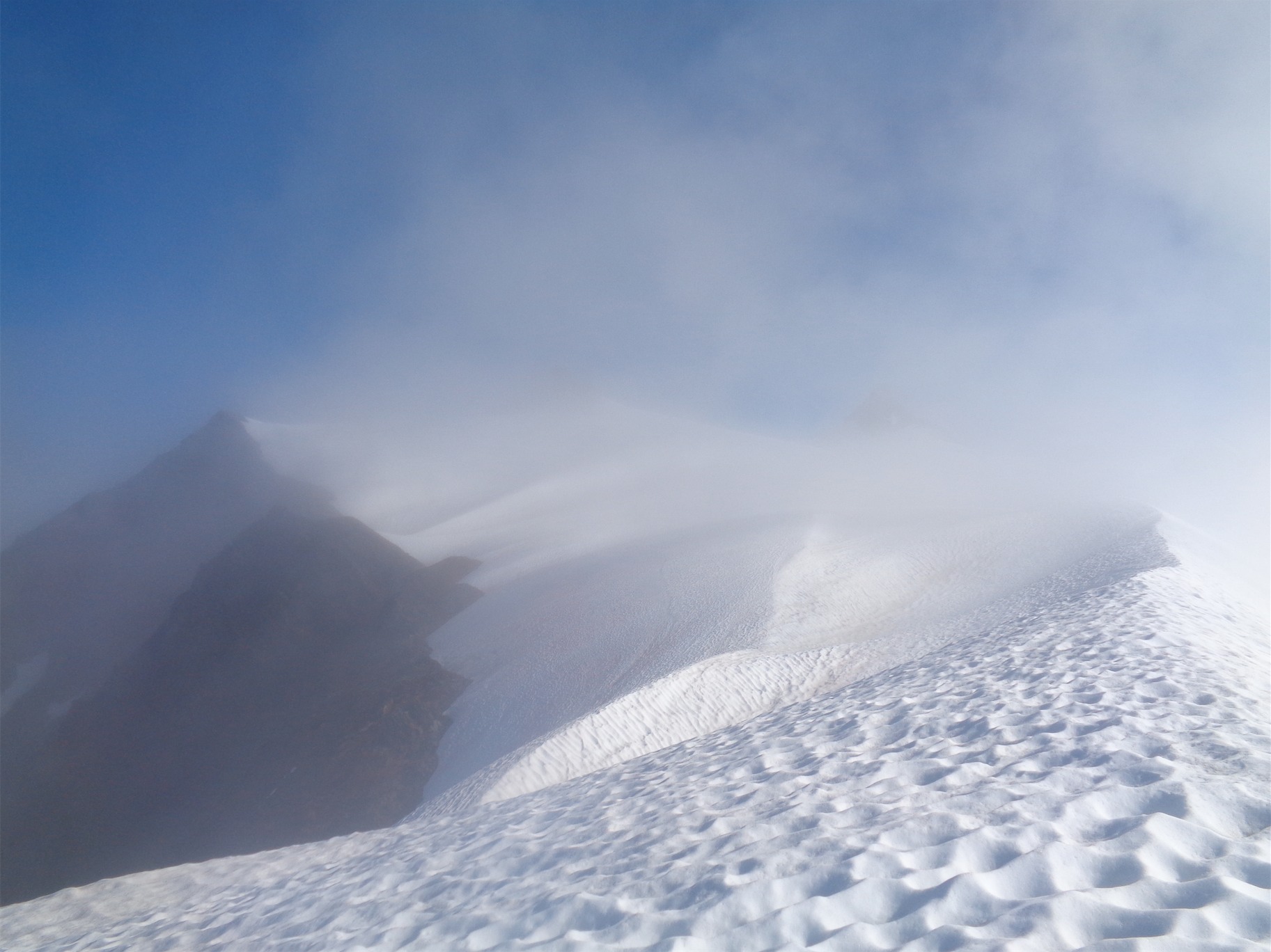
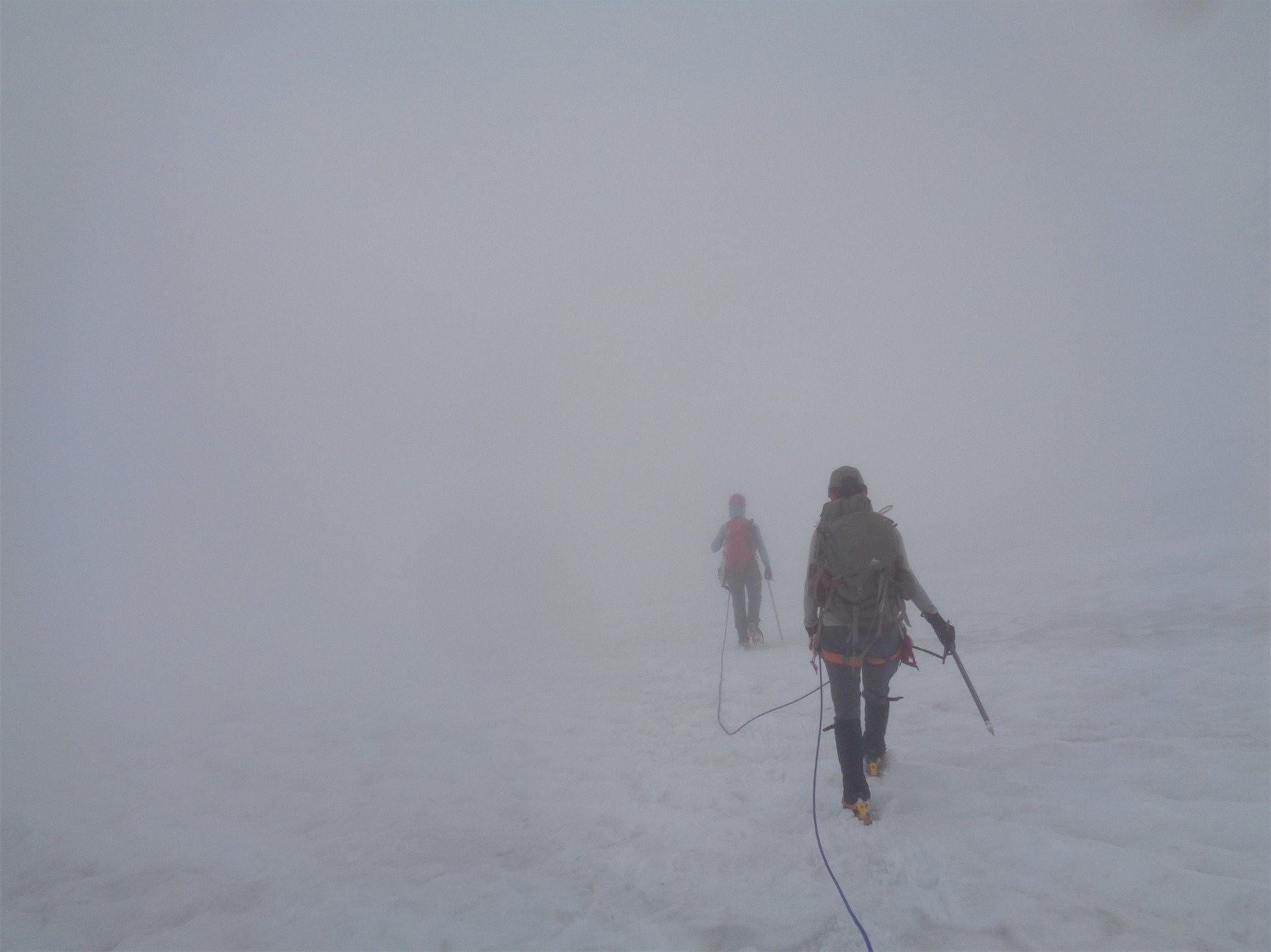
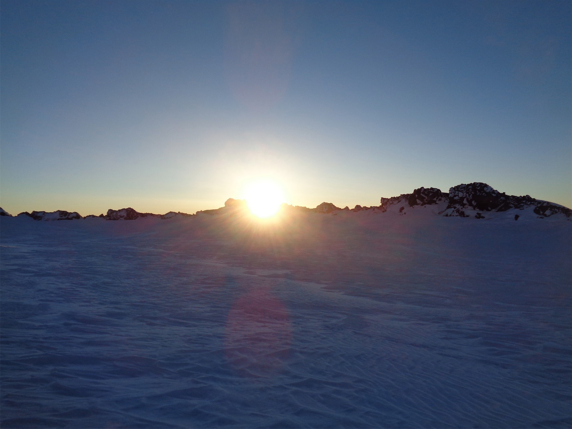
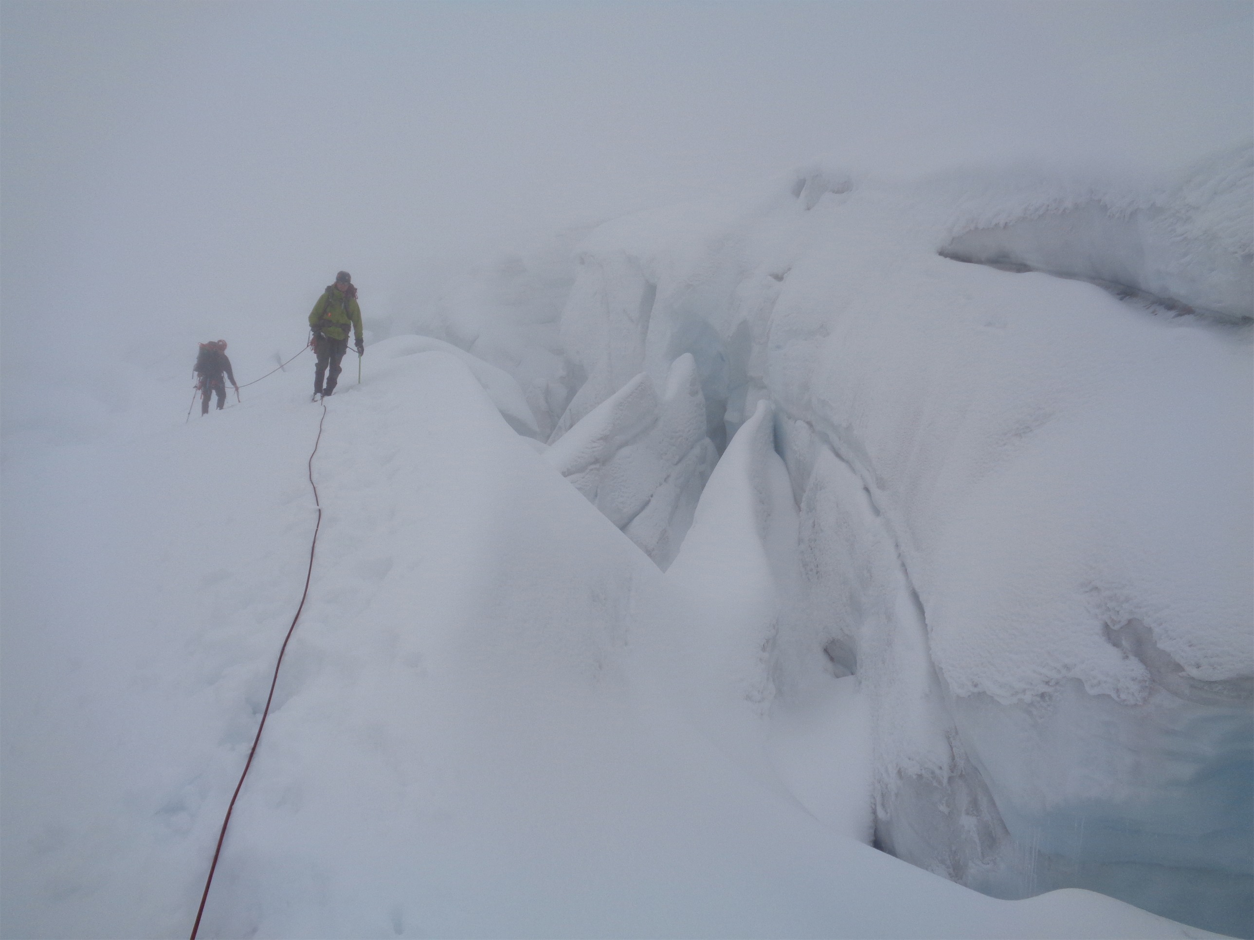
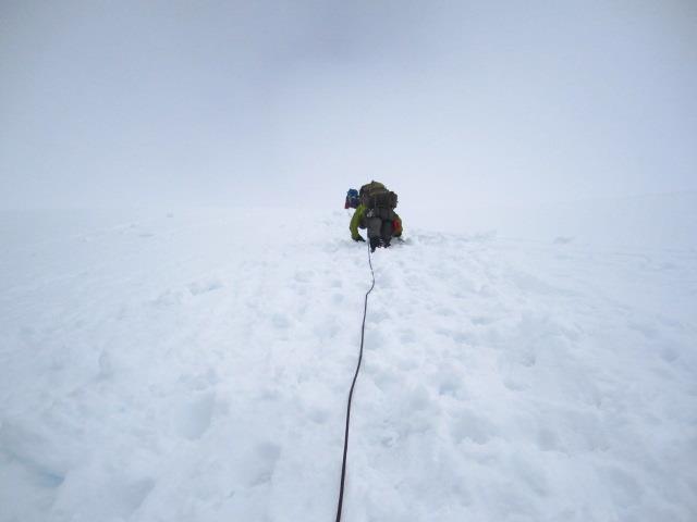
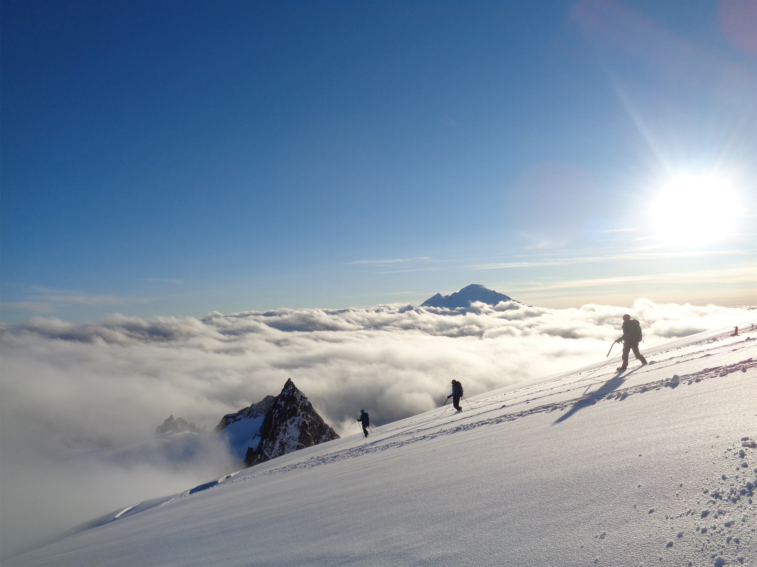
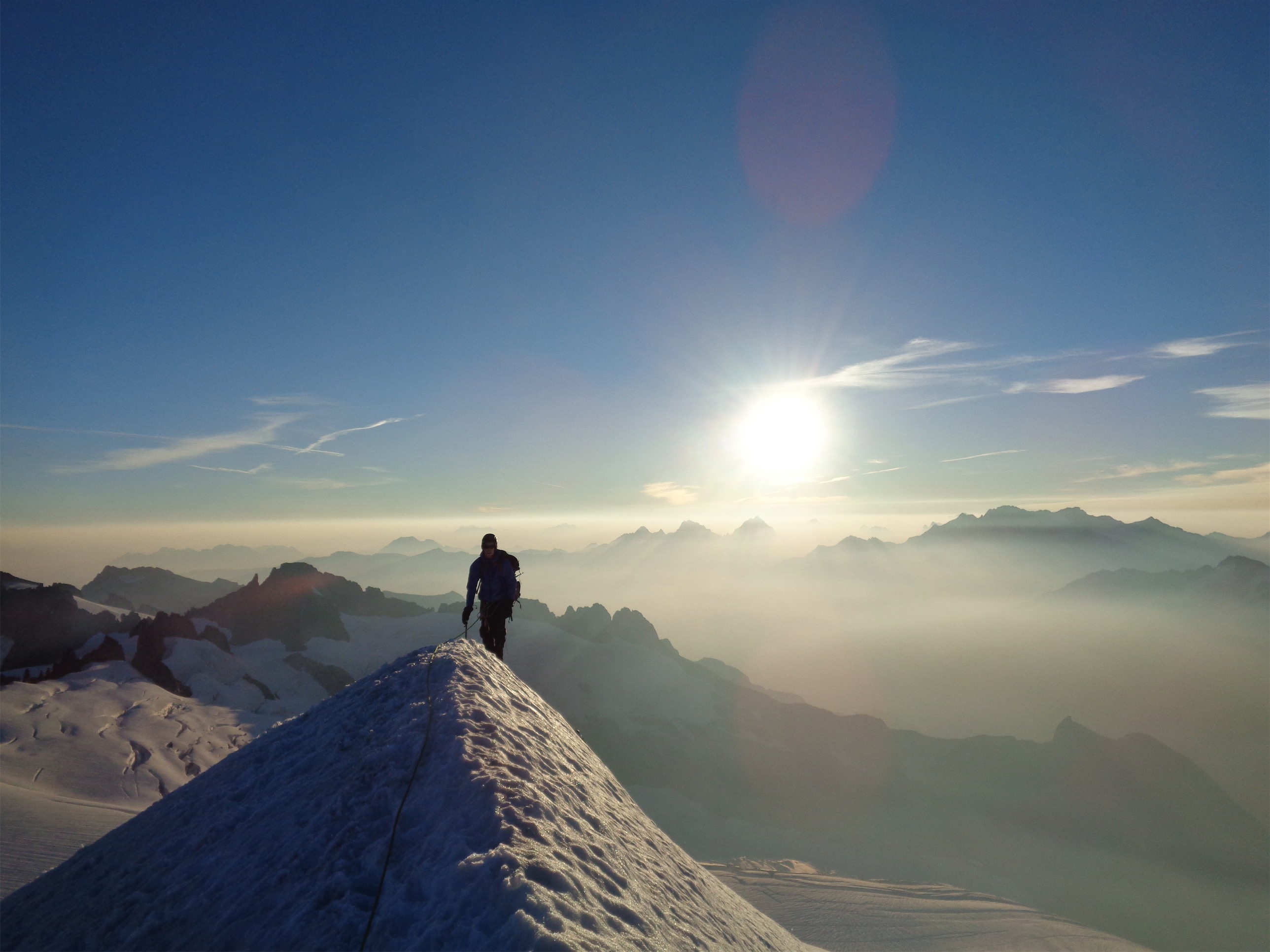
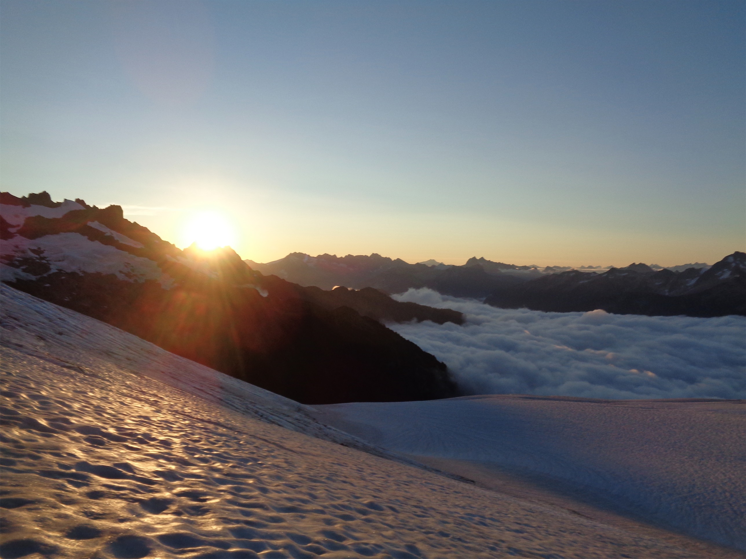
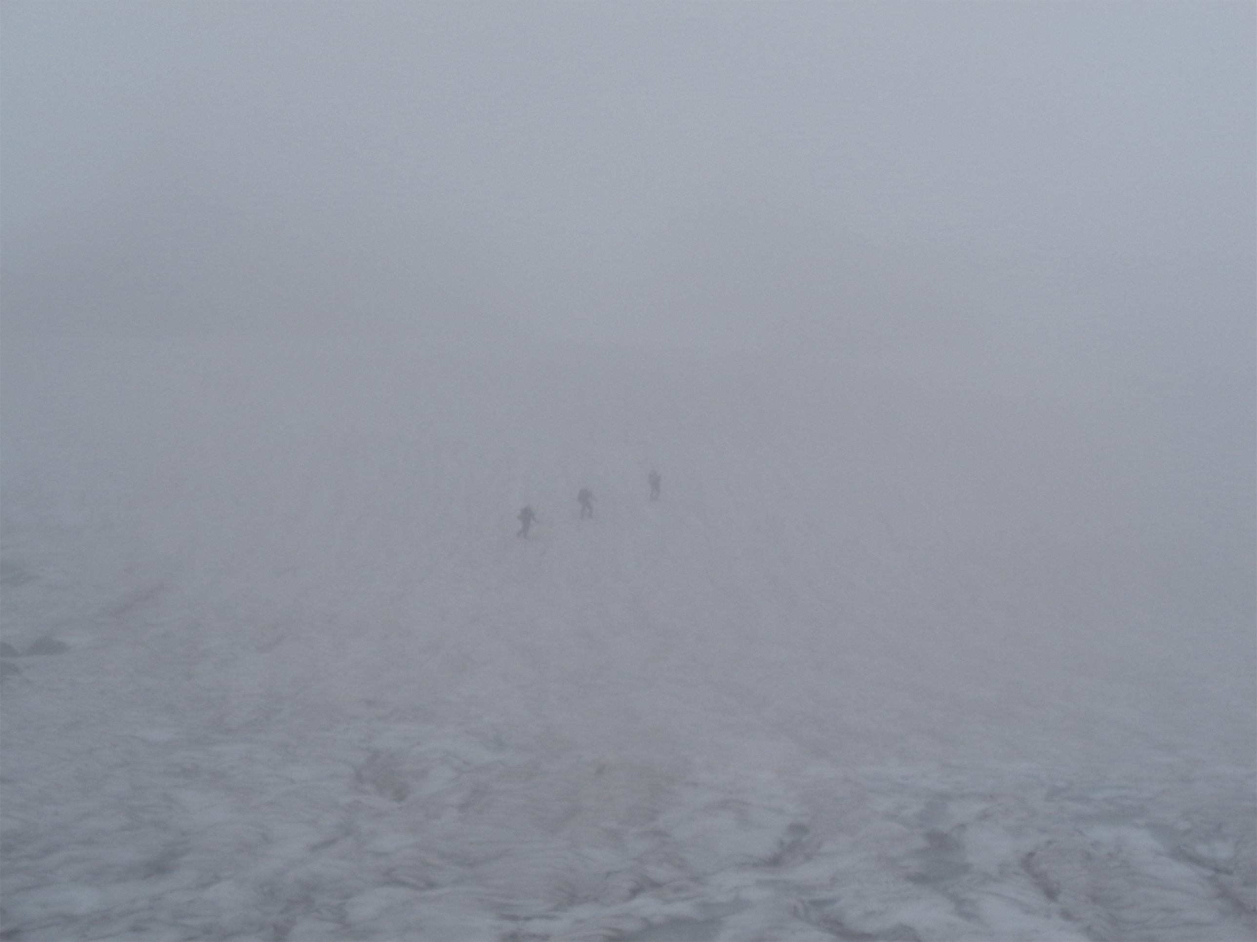
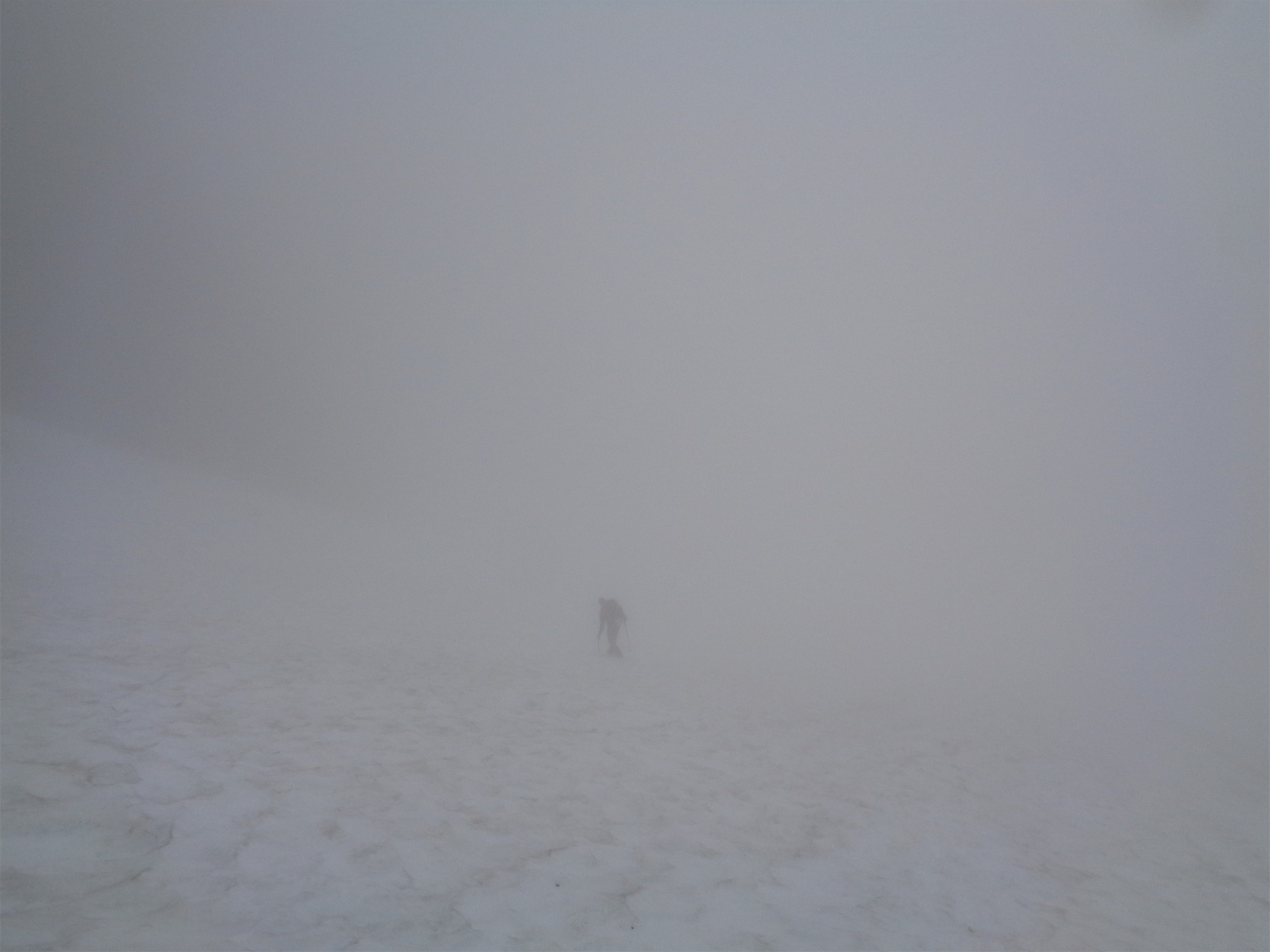
Alarms went off at 5am. JT was ready to go. Absolutely not, I said. I was finally warm ish and I knew I could get back to sleep and I was going to savor my hour. Sunrise was gorgeous, clouds were spilling over the notches into the basins around us, and we were on top of it all. I dozed for another hour or so until the sun hit us, and finally got moving. We were above the clouds, and descended into whiteout.
I was relieved we had made it to the col. Waking up at Heather Meadows in the fog would have been demoralizing, cold, wet, brutal. Instead we woke up dry and above the clouds, enough for me to mentally rally. I stuffed my feet back in my boots. Ouch. JT didn’t even take off his boots because he was worried his feet were too swollen to get them back on. Why do we do this? JT had peach rings for breakfast and I had Whole Foods chocolate truffles and a fresh baked Whole Foods peanut butter cookie and a few bites of a Sledgehammer sandwich which was also from Whole Foods. JT had the breakfast of champions. All I needed was a girly Starbucks drink to complete my Basic Bitch Breakfast.
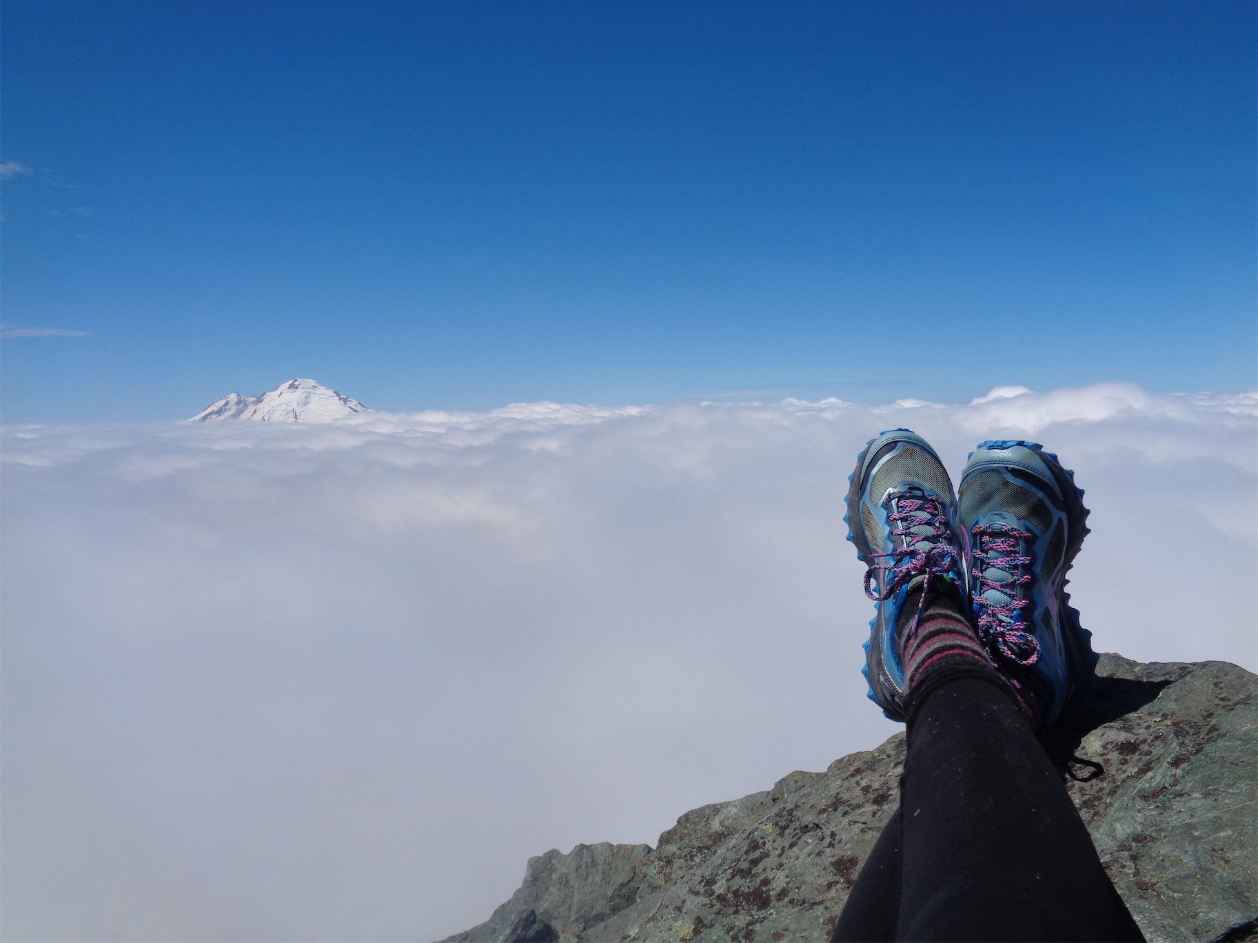
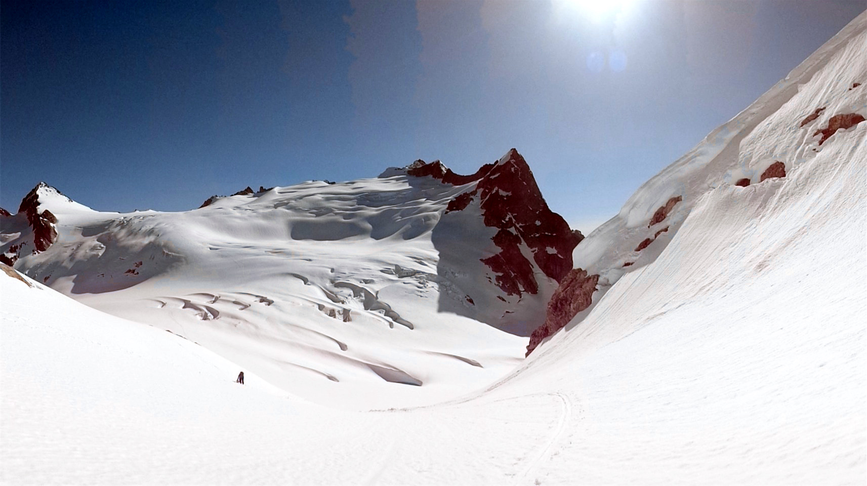
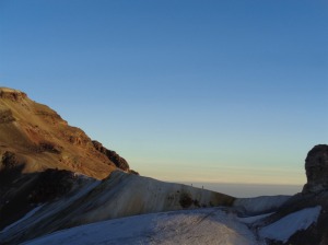
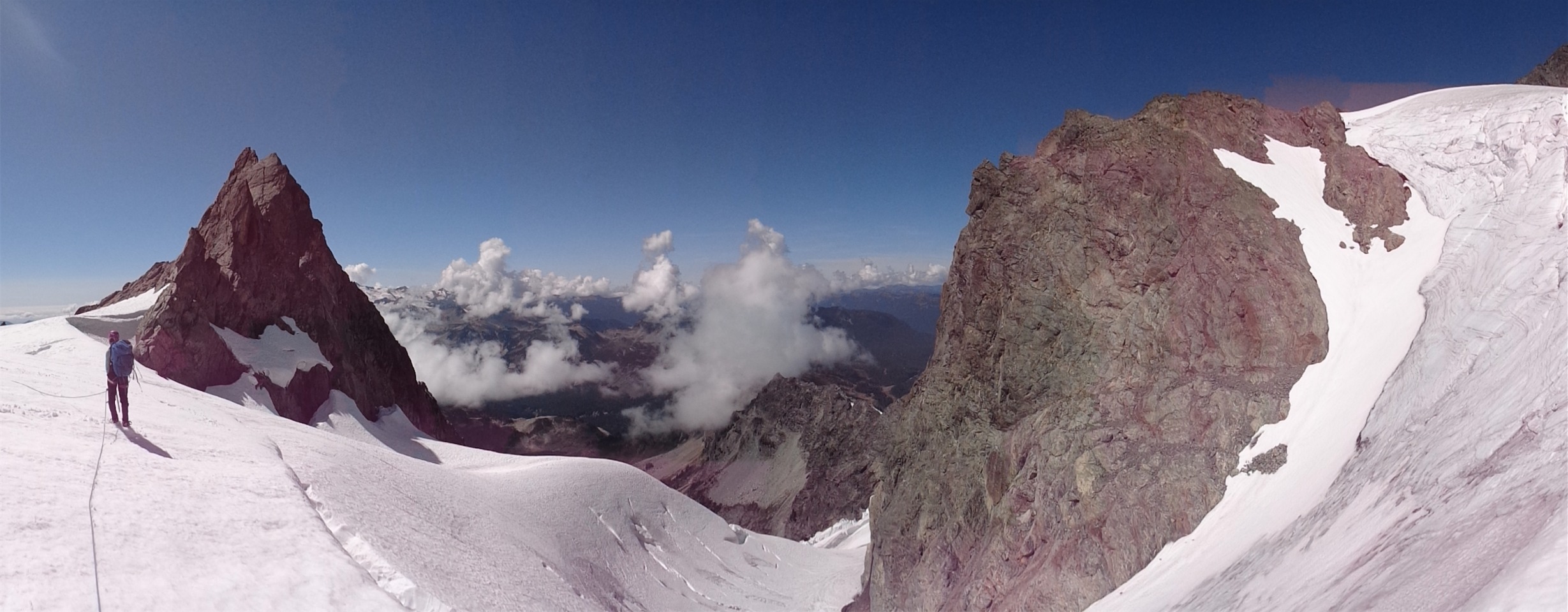
View from the bivvy spot the previous day
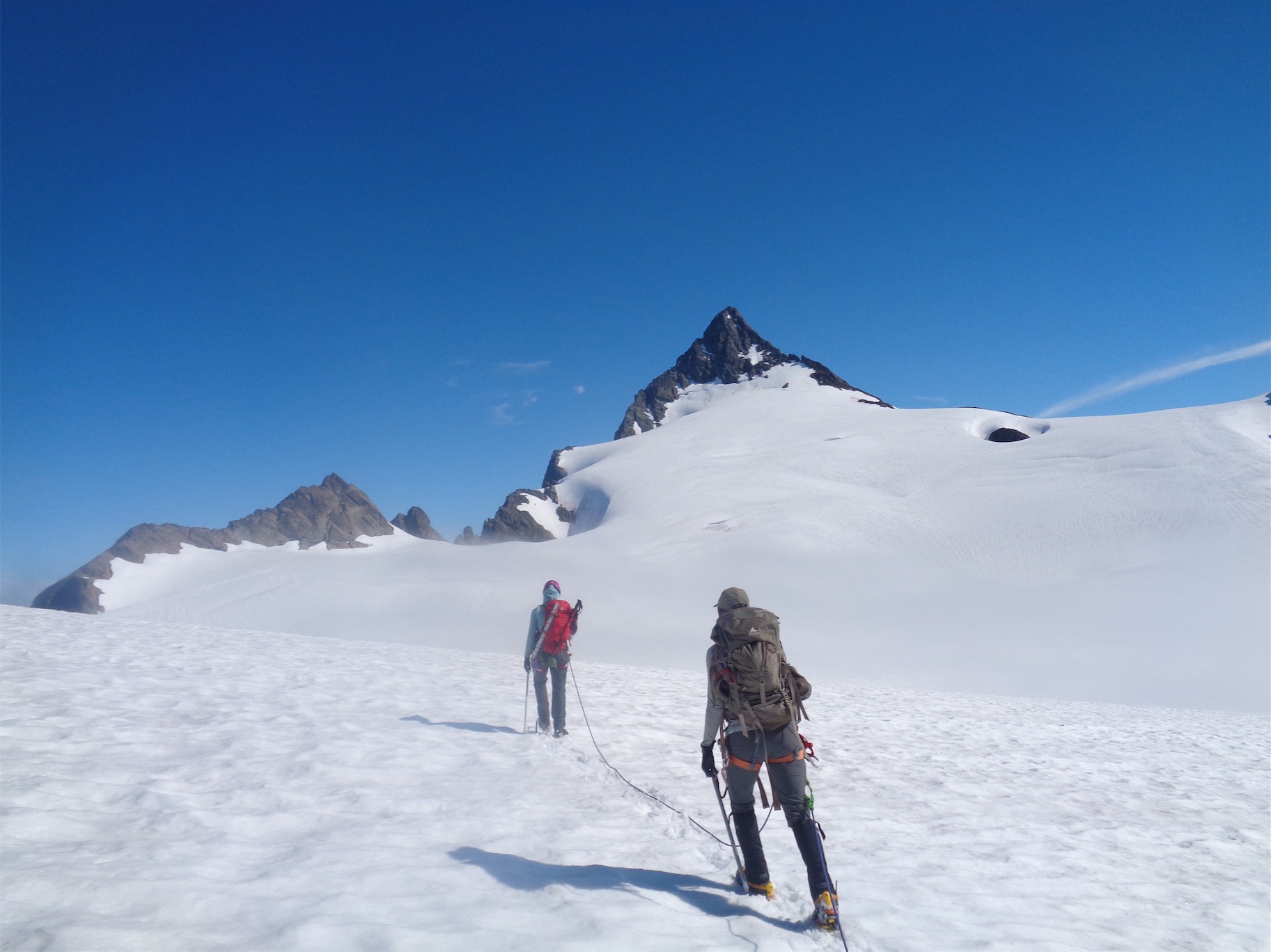
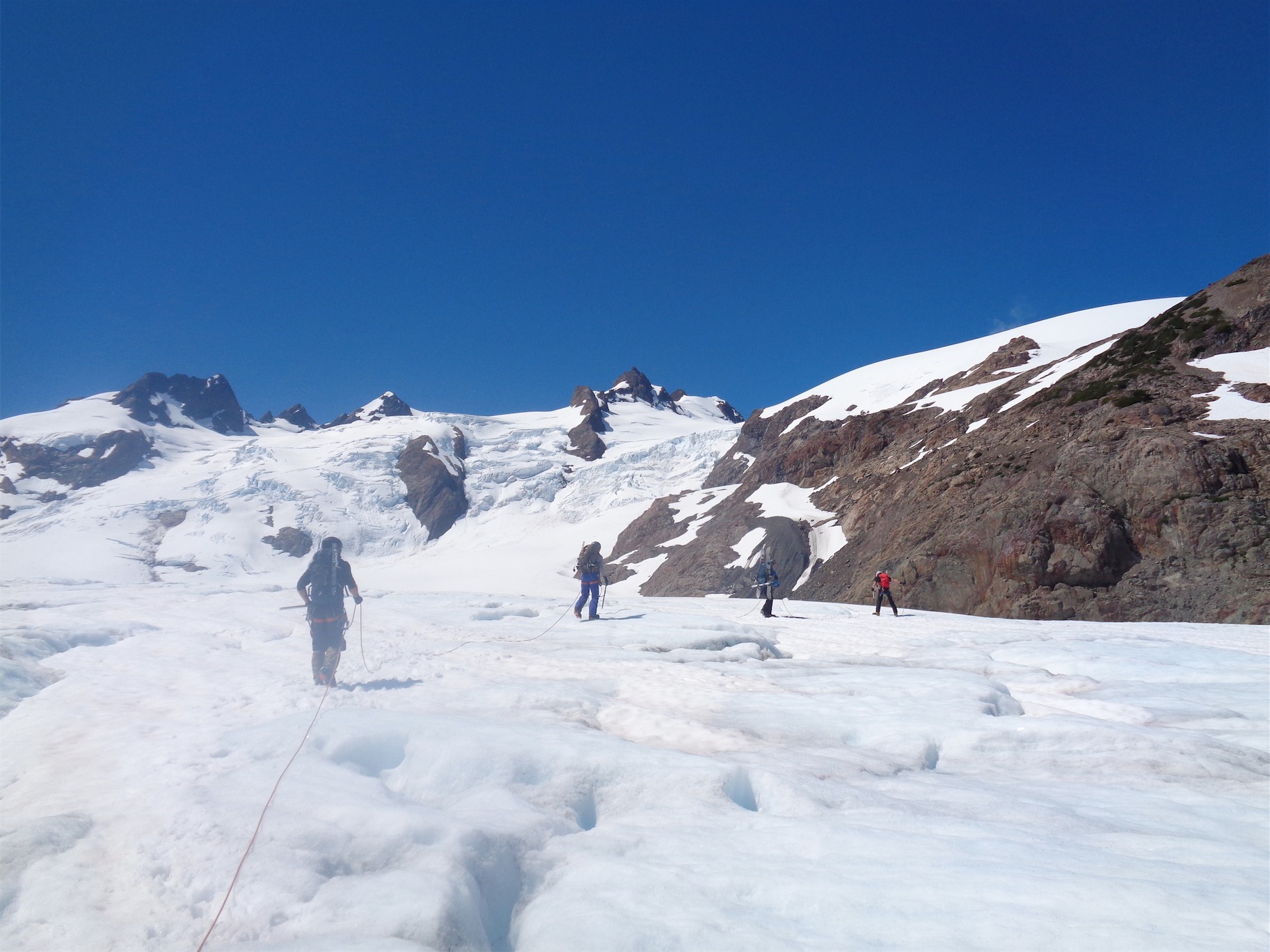
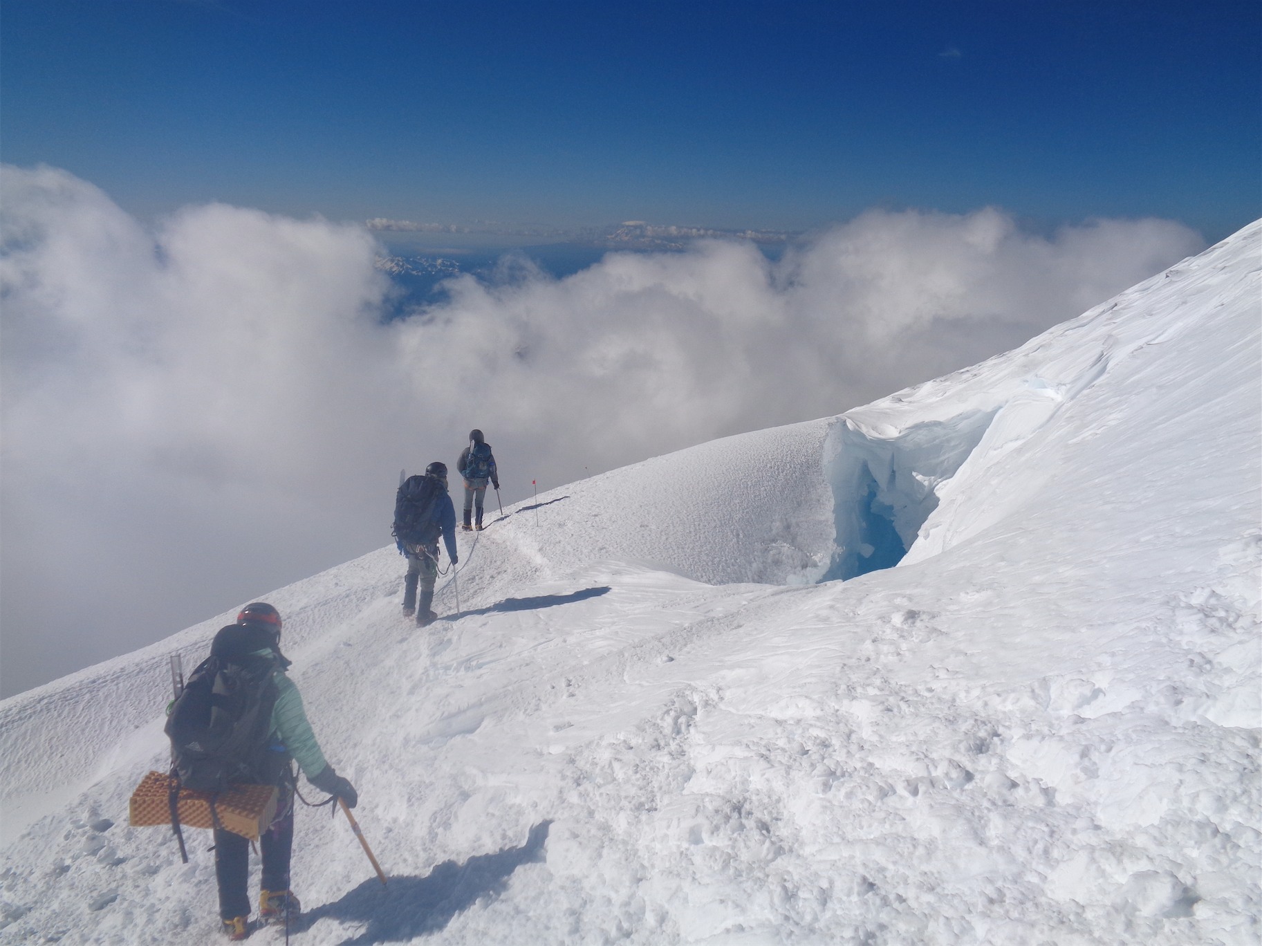
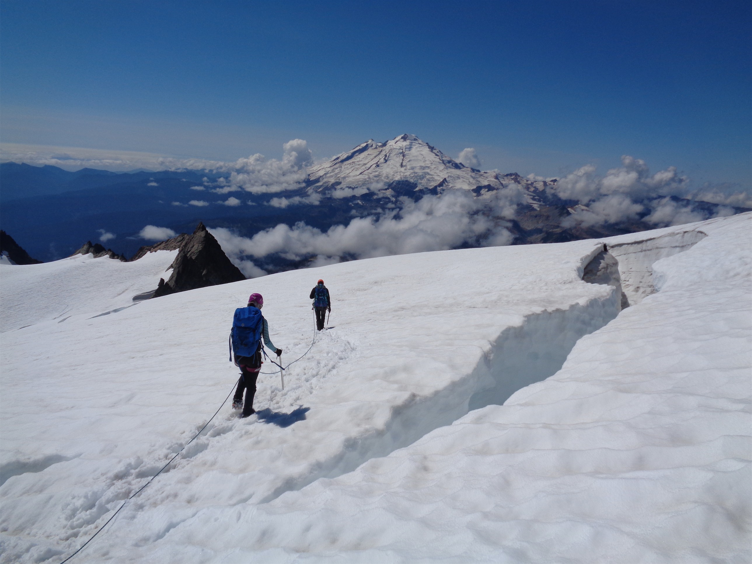
We roped up and started across the glacier. Up and over the crevasses this time, no sidehilling, give my poor ankles a break. Glaciers are annoying to navigate in fog, but we got a few glimpses since we were at the top of the clouds. We met the rocks, and we went back across the endless talus fields, back across red ledges, more talus fields, finally to Kool Aid Lake. We got off track many times between the lake and Cache Col. Endless talus fields in fog all look the same. At Cache Col we vaguely knew the route back to the notch that would drop us onto the slopes above Cascade Pass.
We were too high at first, sticking to the cliffs along the side for easy navigation. But the route itself was a few hundred feet lower. There were minimal crevasses for us to use as landmarks. There were only two places where we could gain the notch, and the rest would cliff out.
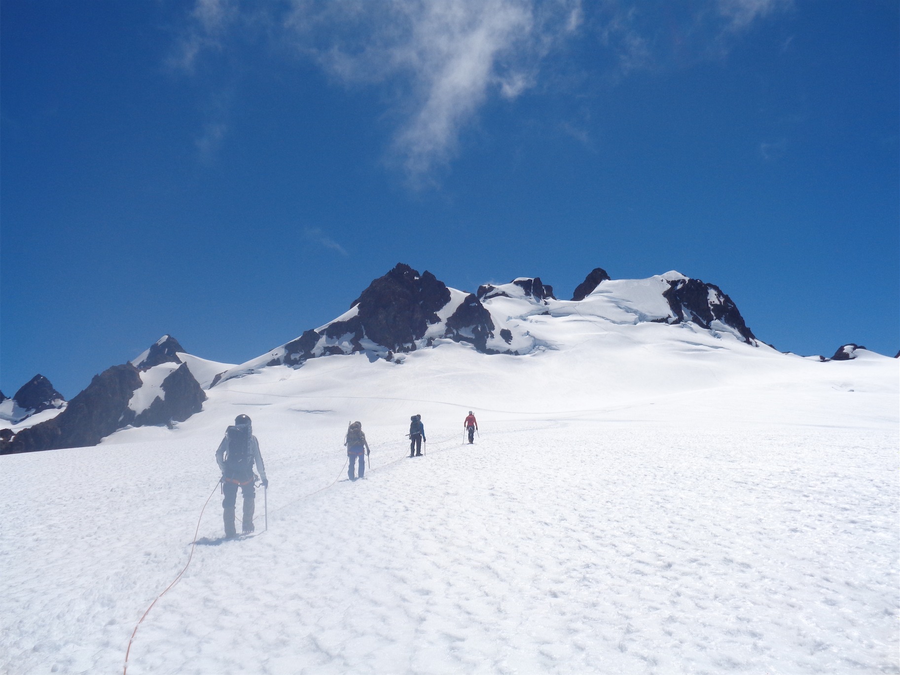
JT on the Cache Glacier. Phenomenal views. Bet you’re glad you can see the full version of the pic so you can see all the details.
We took out the GPS. We looked up photos we had taken on the way up. We only had a few dozen feet of visibility, so we tried to match waterfalls, red streaks in rock, interesting shaped patches of snow stuck in the rocks, just to figure out where we were. I tend to get analysis paralysis when there are too many options, where I take forever to make a decision and second guess everything. We tried to just keep making decisions as efficiently as possible. It started to rain. I put on my Goretex layer. “I really want to be off this glacier by dark,” JT said. Shit, has the bar dropped that low? Knowing you have a bivvy in moderate weather is great. Surprise night #2 bivvy in rain and fog… that would suck. Finally I went out on a limb and crossed to a new patch of snow, where we found what looked like very old footprints. They led me to a few nice steps of heather ledges, which dropped me off at one of the two notches. Not the one we had come up, but one that would go nonetheless. We dropped down to the talus and snowfields, and the fog blew through for a hot minute. Cascade Pass! So close yet so far.
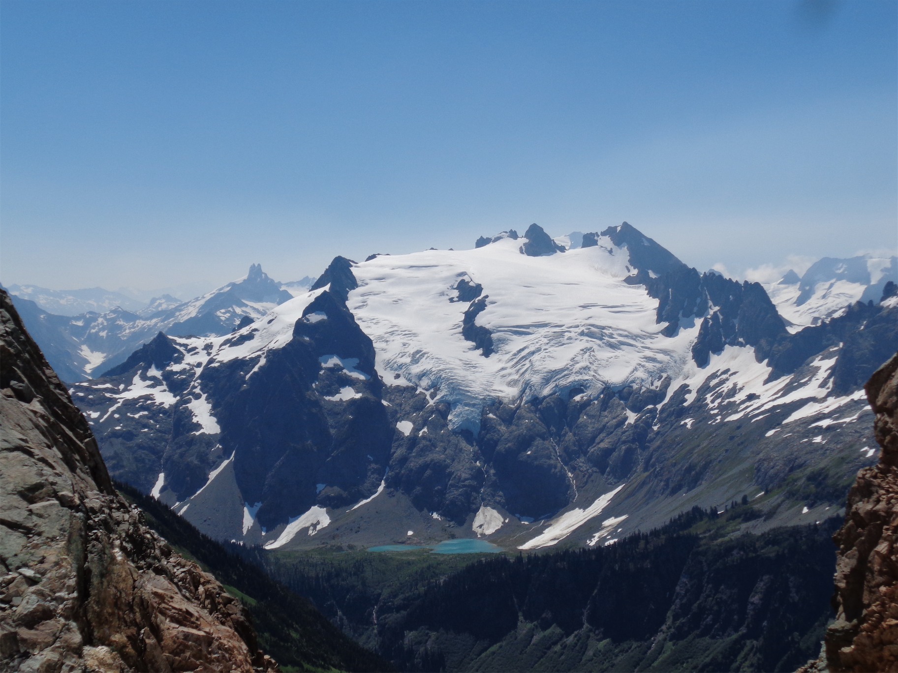
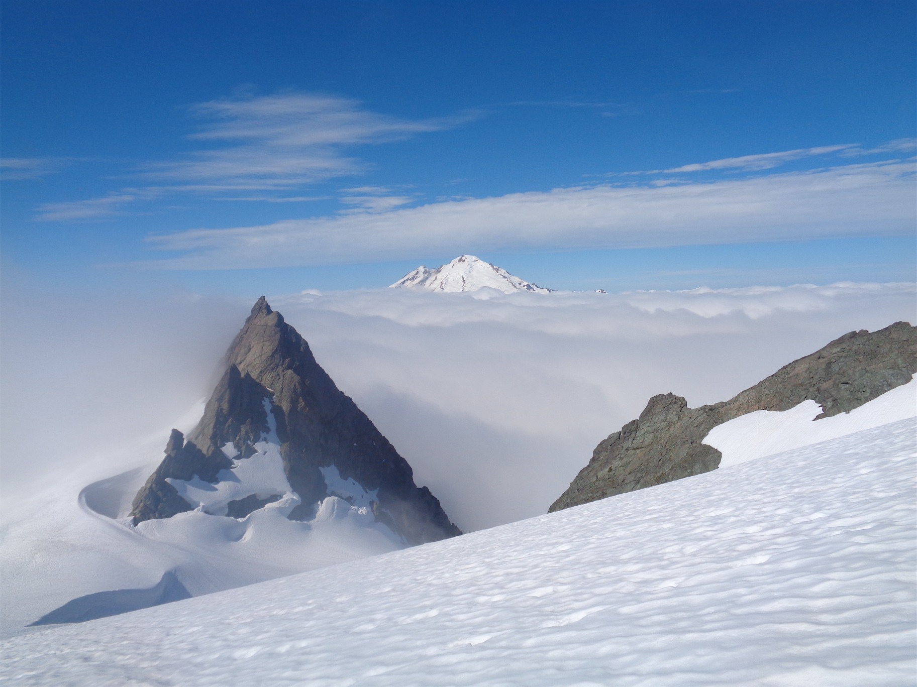
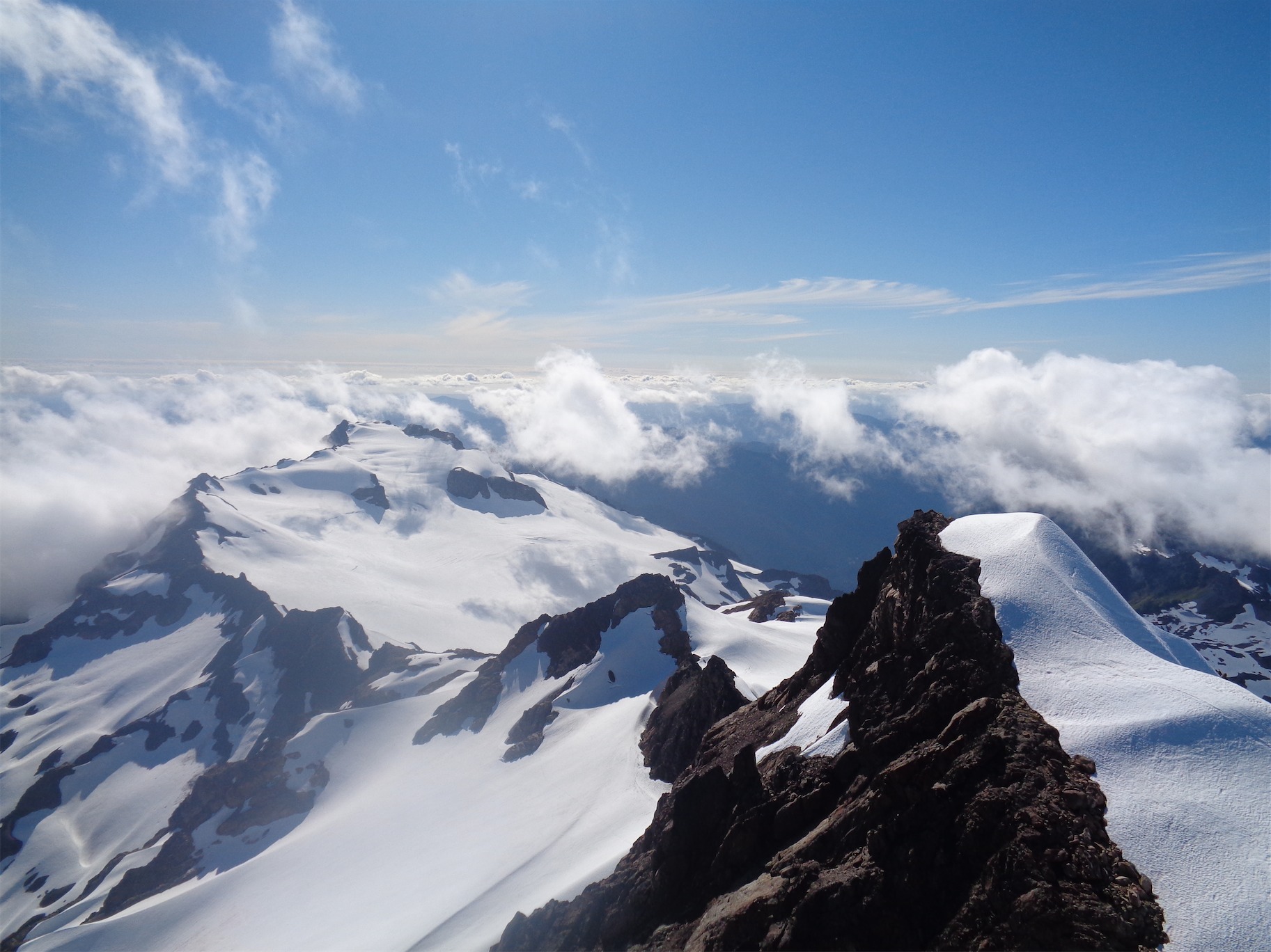
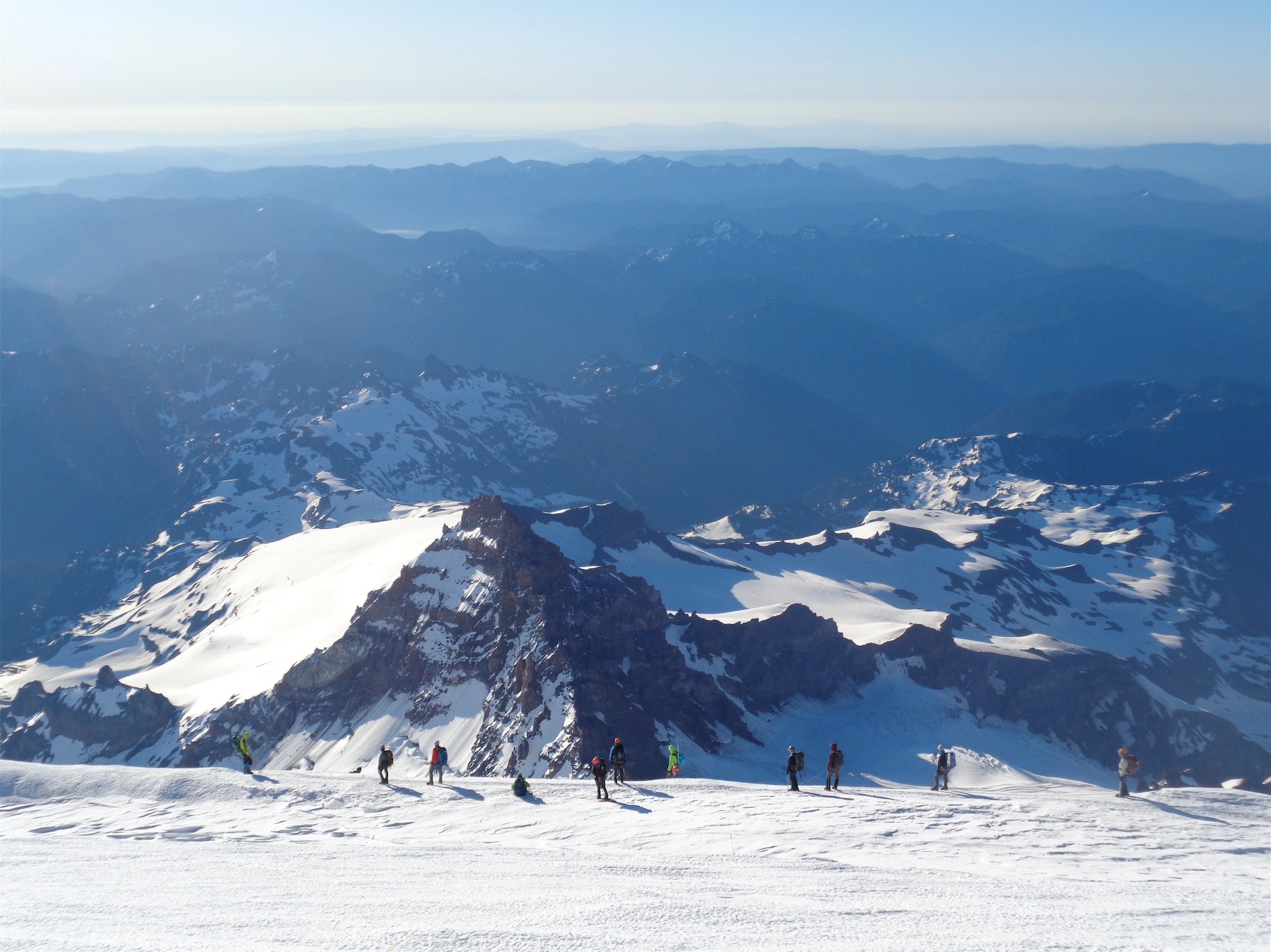
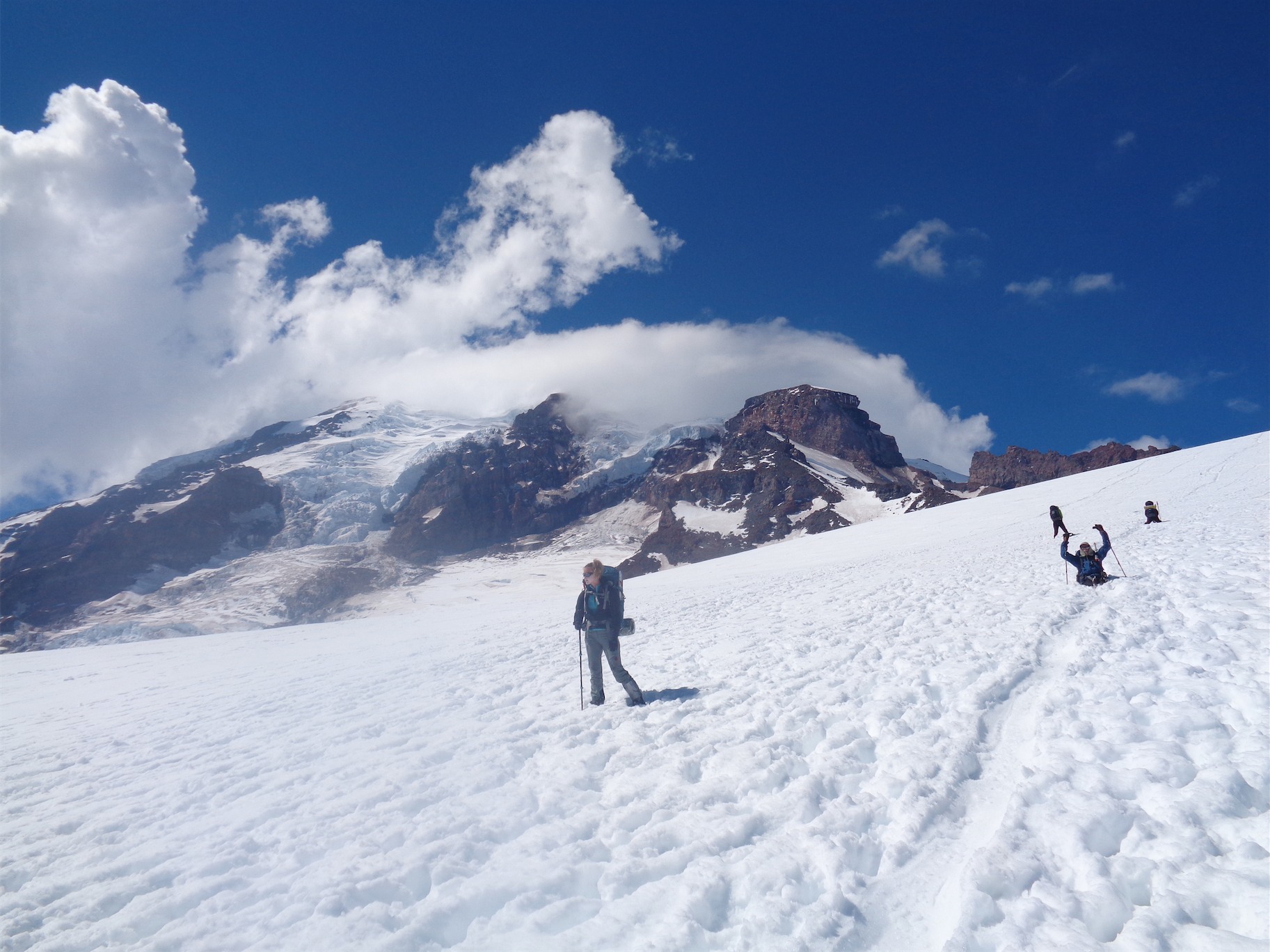
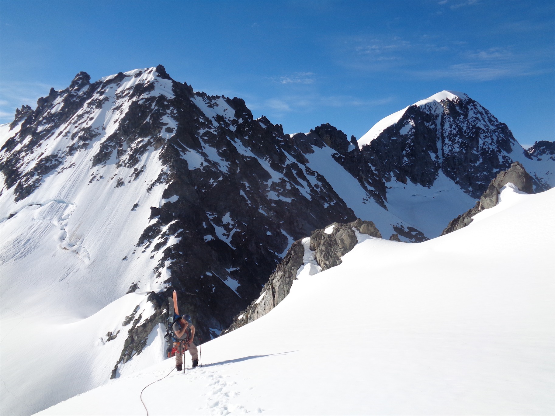
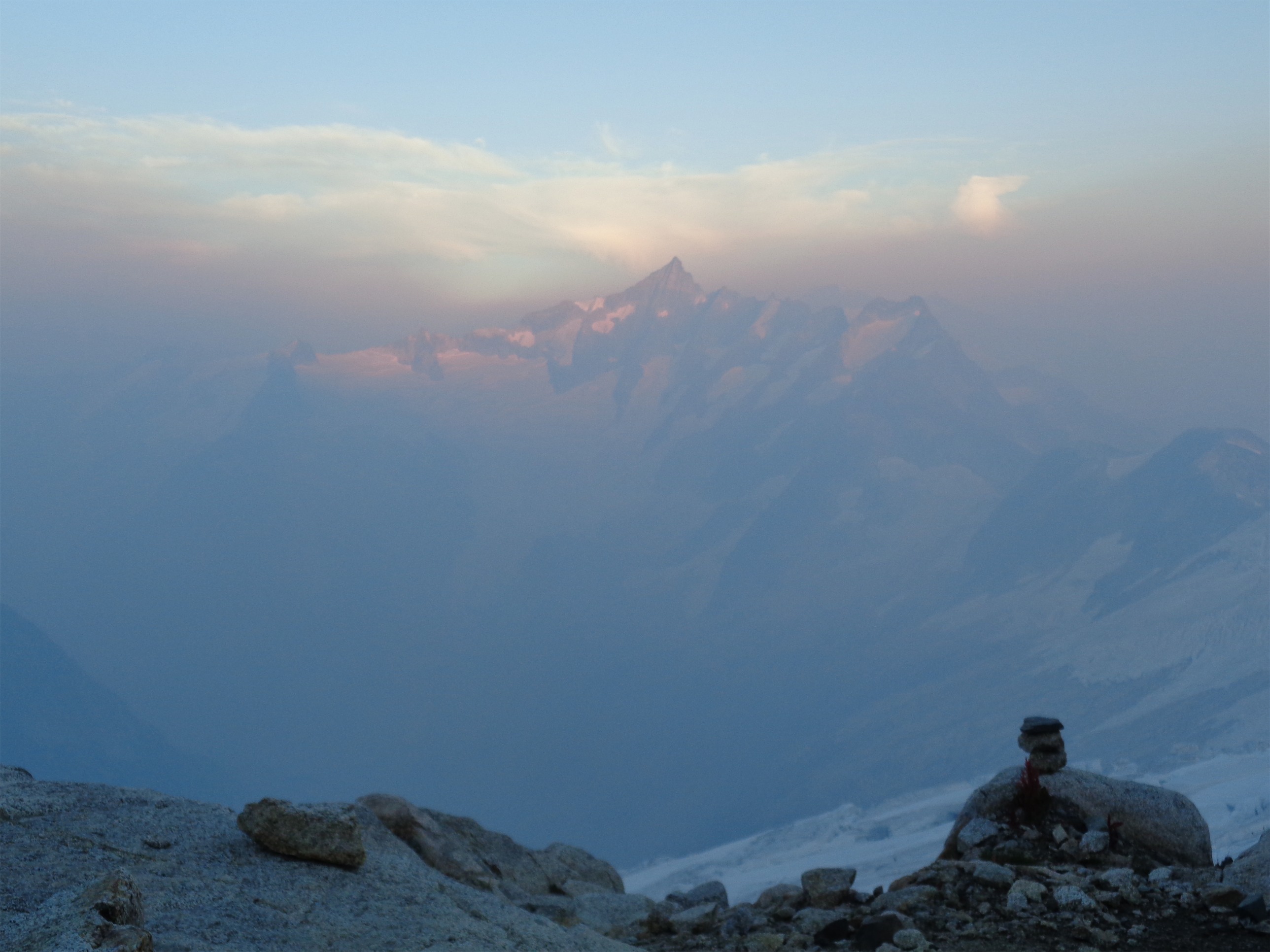
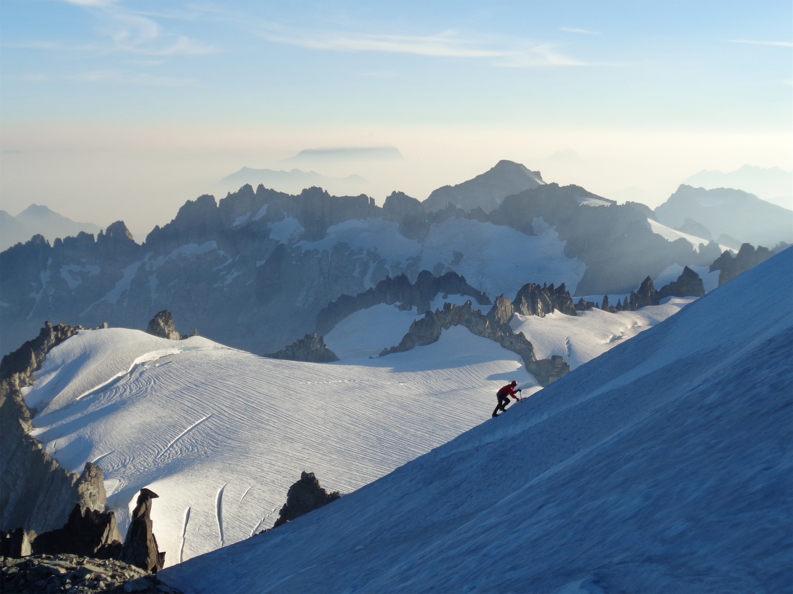
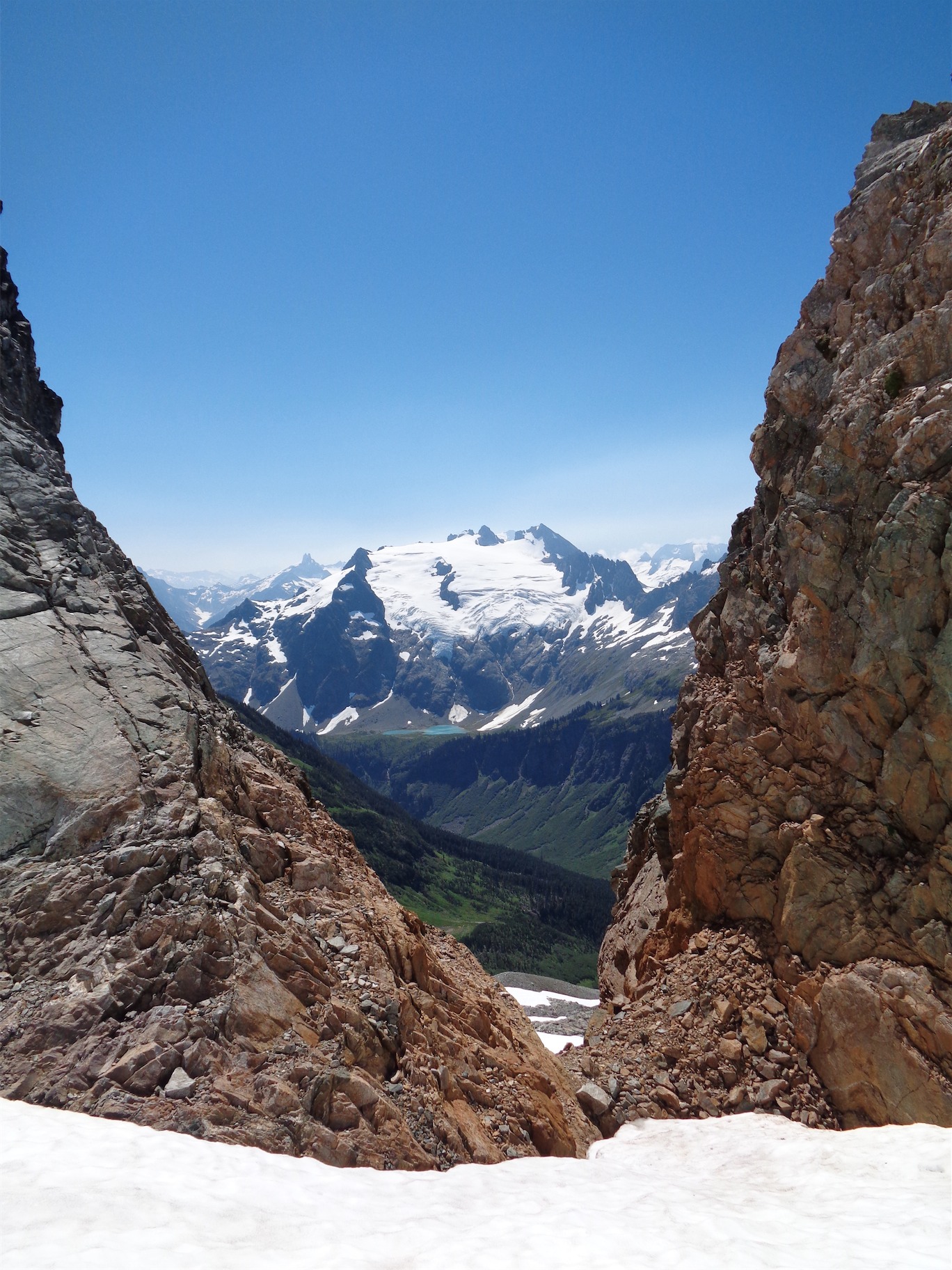
Quick reminder of why we do this. Gunsight and Old Guard anyone??
We continued down below the snowfields to try and follow the bootpath that we had seen the two runners take the previous morning. It still wasn’t pleasant, but it was a hell of a lot easier than steep sidehilling on snow, especially with my bloody bruised ankles. Shitty. We saw the huge rocks and hikers below at the pass, so far beneath us. Getting back to the pass was amazing. I was drenched from fighting through wet rainy shrubs with clumps of goat hair stuck to my legs. Luckily, the hikers had left the pass, so no one was there to laugh at how ridiculous I looked as I limped like a 90 year old down the trail. Great, all we have left is 4 miles and 36 switchbacks.
Halfway!
The trail down was exactly what you’d expect. Tedious, endless, tiring. Stupidly inclined. I joked with JT that we should count all the switchbacks. Except I was totally serious. I needed something to focus on. JT got ahead of me. At one point someone started writing the number of the switchback at each corner. I thought it was JT and I was thrilled when I saw the first one. It gave me something to look forward to. Switchback #14, that’s 7/18ths of the way there, which is 38.9% of the way there, and switchback 15 is next. Switchback 15, that shares the common denominators 3 and 5 and no wait just 3 with the total 36 so 15/36 can be reduced to 5/12 which is 42% of the way there. And 18 will be halfway and then you can check the GPS and see how much mileage you have left! Woohoo, a treat!
Yeah, I was tired. At the second to last switchback you get a great view of the parking lot. Why didn’t anyone put fucking stairs there?! I was pissed. Seriously just make it like Paradise and put in some steps it isn’t that hard. I yelled whoop WHOOOP to JT who didn’t hear me and then speed hobbled the rest of the way to the car where I stepped out of the woods laughing at what we had just done and how shattered I was. Without good reason! The terrain was annoying but nothing too difficult, just lots of ups and down and long days and mental strain getting back through whiteout. I think it was just the wet feet that had screwed me over, which was an issue only a few miles in so I had no escape.
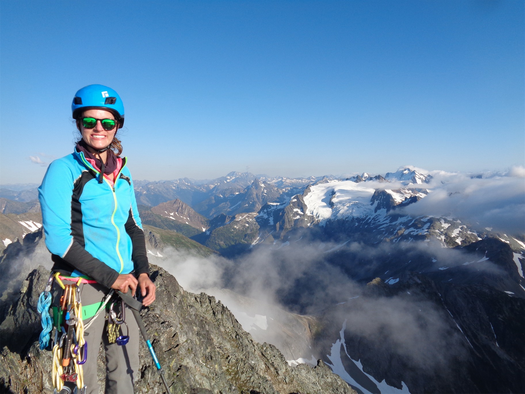
Yay!! I swear I felt more triumphant than I look. I was disappointed by my summit cookie.
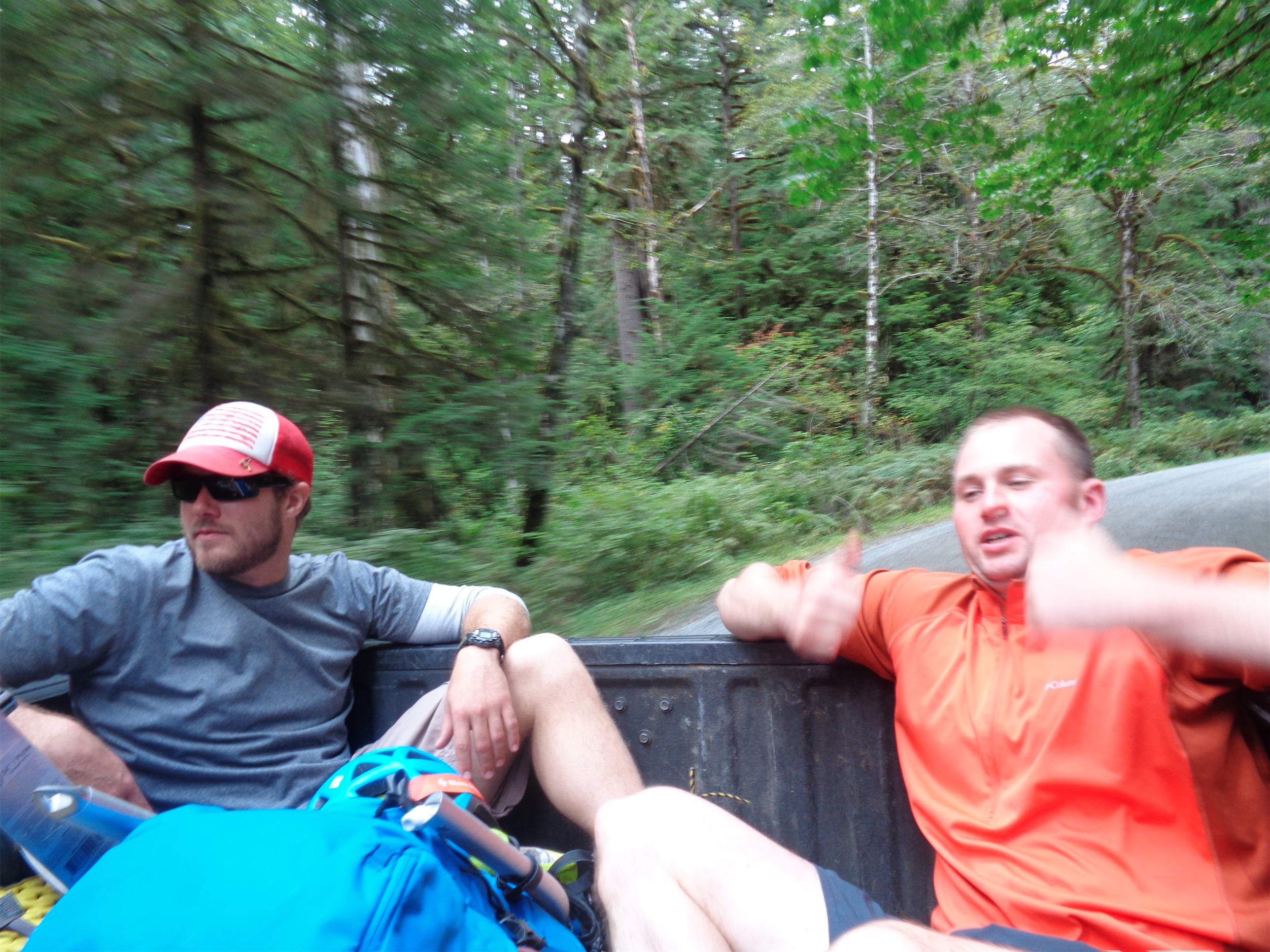
I had left three bites of a sandwich in the car and it was amazing. My feet were almost too swollen for my flip flops. I was glad JT drove because my granny driving would not have made it down Cascade River Road. We went back to Calvin’s where he and Quinn and Haley were enjoying his hot tub. 1) I was far too offensively disgusting for a hot tub 2) A hot tub probably would have been brutally painful on my stubby torn feet. But it was a nice thought. Rain check?