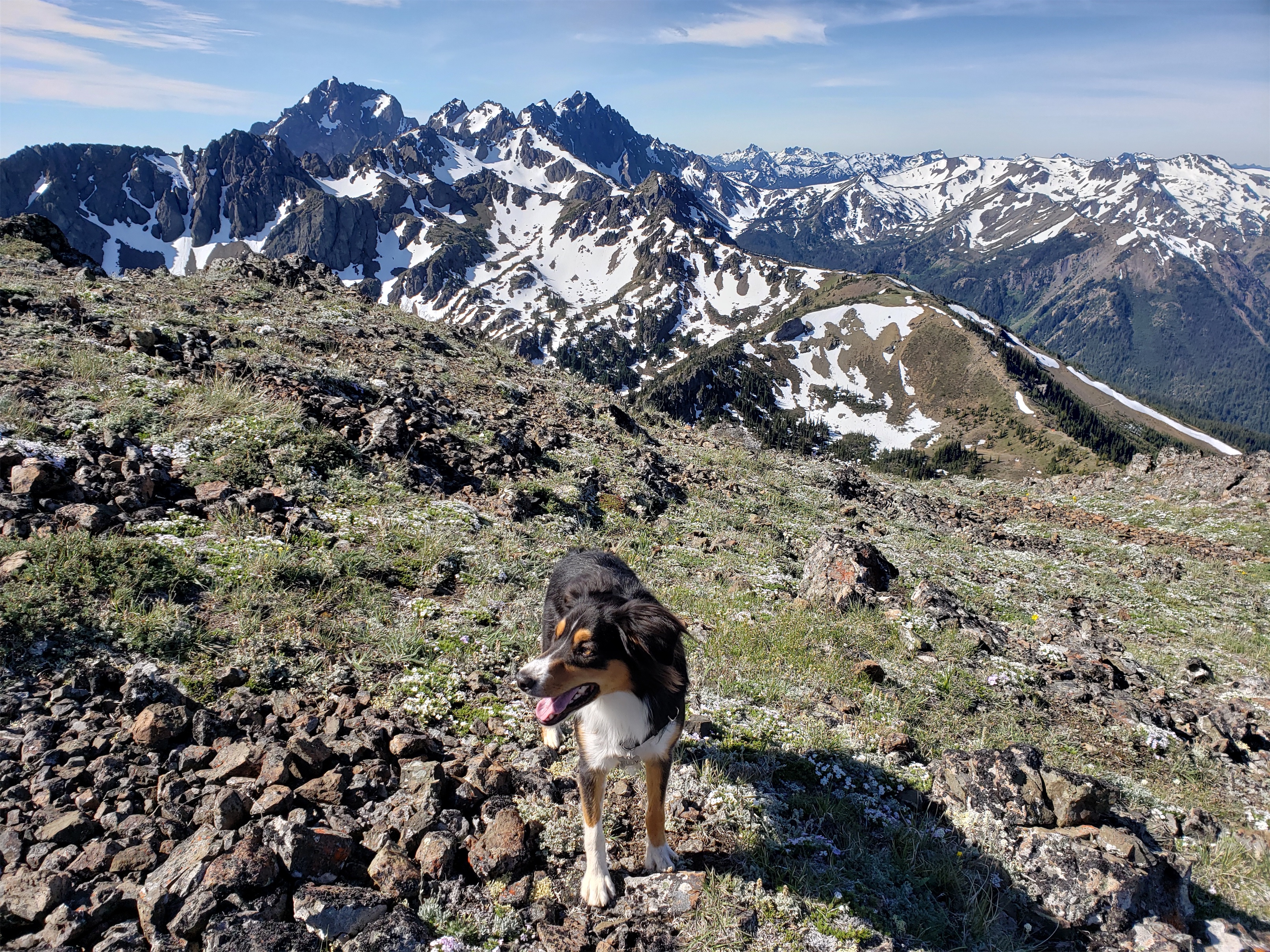

Amazingly, I’ve been here 8 years at this point and still hadn’t done Ellinor in the winter. Well, I did it in March 2015 but that didn’t count as winter because 2015 had zero snow. In fact, we took the summer trail the whole way to the summit, and not once did we hit snow.
This was different. We couldn’t even get to the trailhead. But let me back up a sec. First I woke up. Then I made pancakes with pancake mix that expired in 2019. Seemed good. I dumped some maple syrup in there, double bagged them, and stuffed them in my pack as hiking snacks. Met AJ and Jamie in Tacoma, and we were off towards the Ellinor trailhead on a brilliantly sunny Friday with AJ as the dedicated driver in Jamie’s dear car. The forecast was for like 12 degrees and windy (but sunny). So I had four jackets, a balaclava, expedition weight long underwear paired with ice climbing pants covered by goretex shell pants, you get the idea. I was ready for head down, fight through the cold, tag summit, and bail.
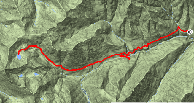
- Distance: ~8mi (7 since we got a ride)
- Elevation: ~3000ft gain, 5944ft highest point
- Weather: 30’s and sunny
- Commute from Seattle: 2:30ish
- Did I Trip: I don’t think so! Am I getting more nimble?
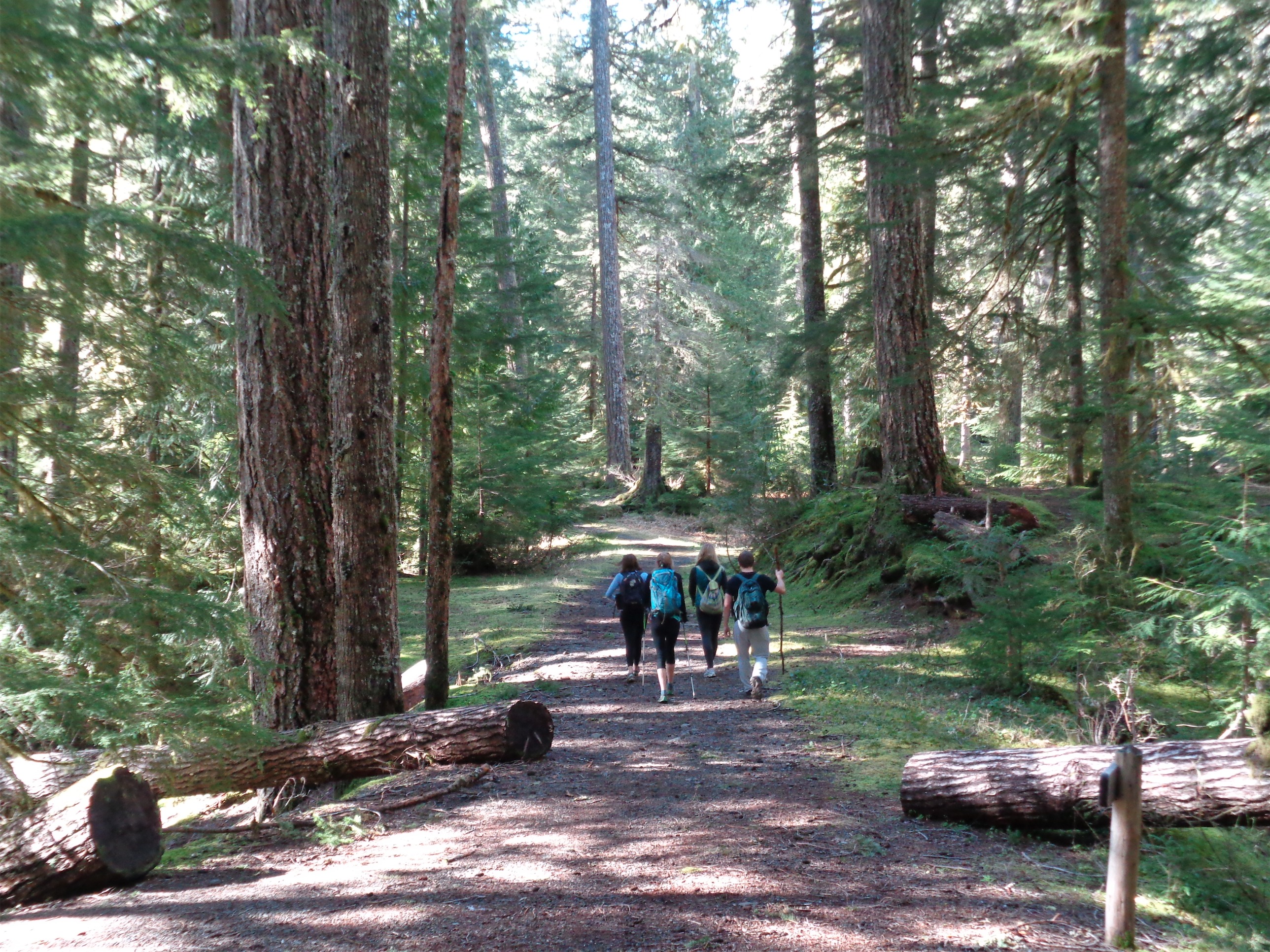
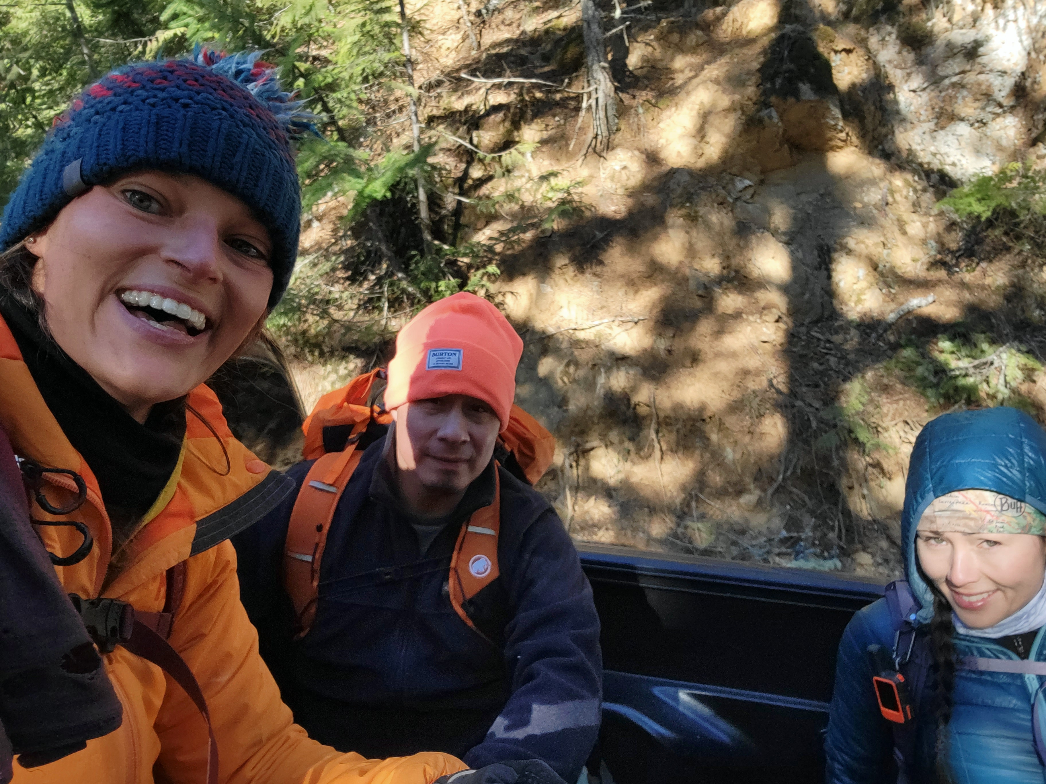
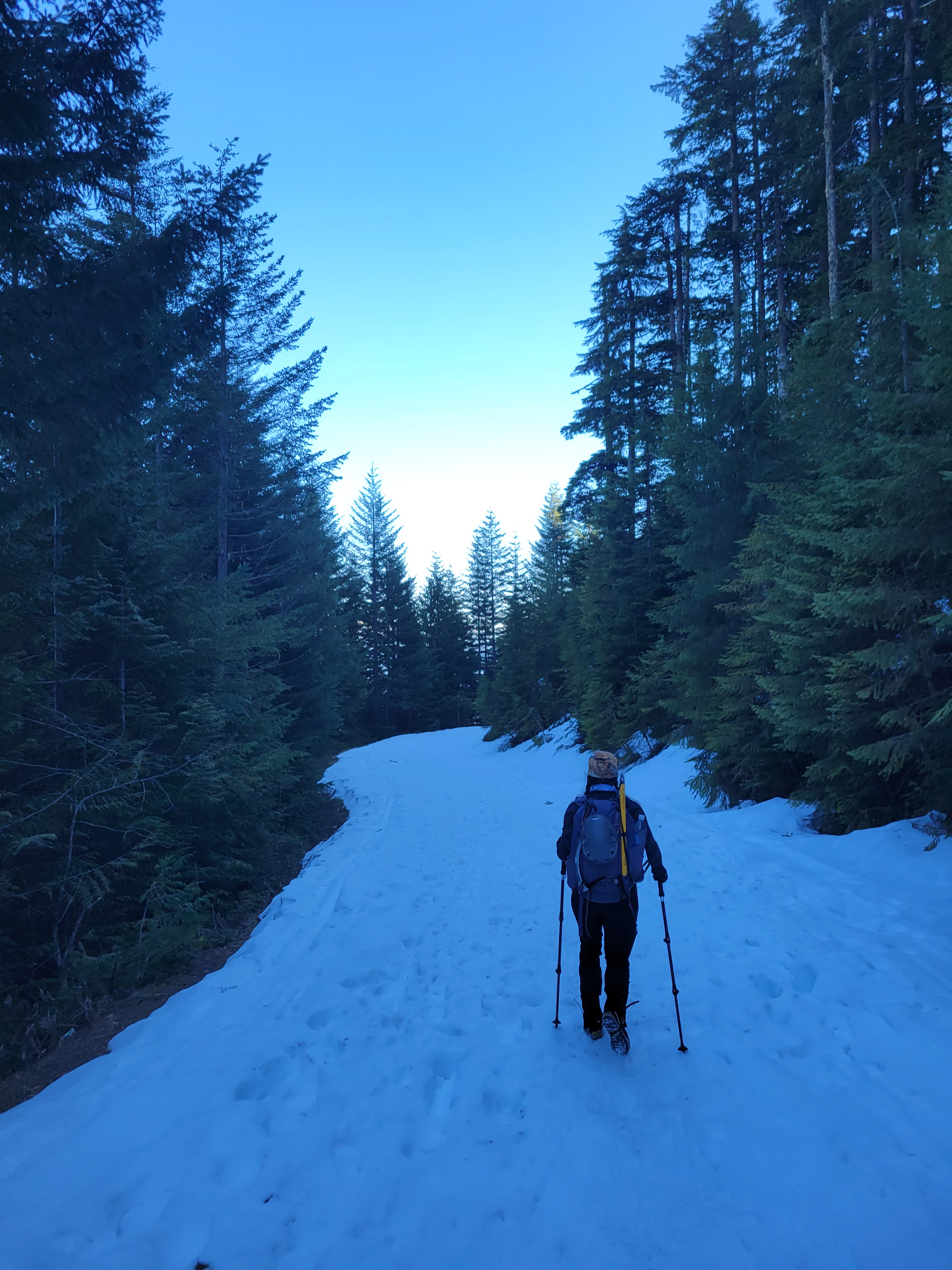
We parked ~2mi from the lower trailhead before a big patch of snow that’s most definitely gone by now and got packed, resigned to walking the rest of the way. Left snowshoes behind (thank god), brought crampons and microspikes. 200ft from the car, a miracle pickup truck pulled up. Holy shit. Does he… do you think he’d give us a ride? “You know you’re still pretty far from the trailhead… do you want a ride?” We whooped and jumped in the bed. Manual transmission for sure which I have a soft spot for as one of the seemingly few people in the US still driving manual. Clearly knew how to handle his truck on snow (despite no snow tires). He dropped us about a mile from the trailhead when the road was consistently covered in several feet of snow, and we started walking. Things were going TOO smoothly. Suspiciously well for a winter route.
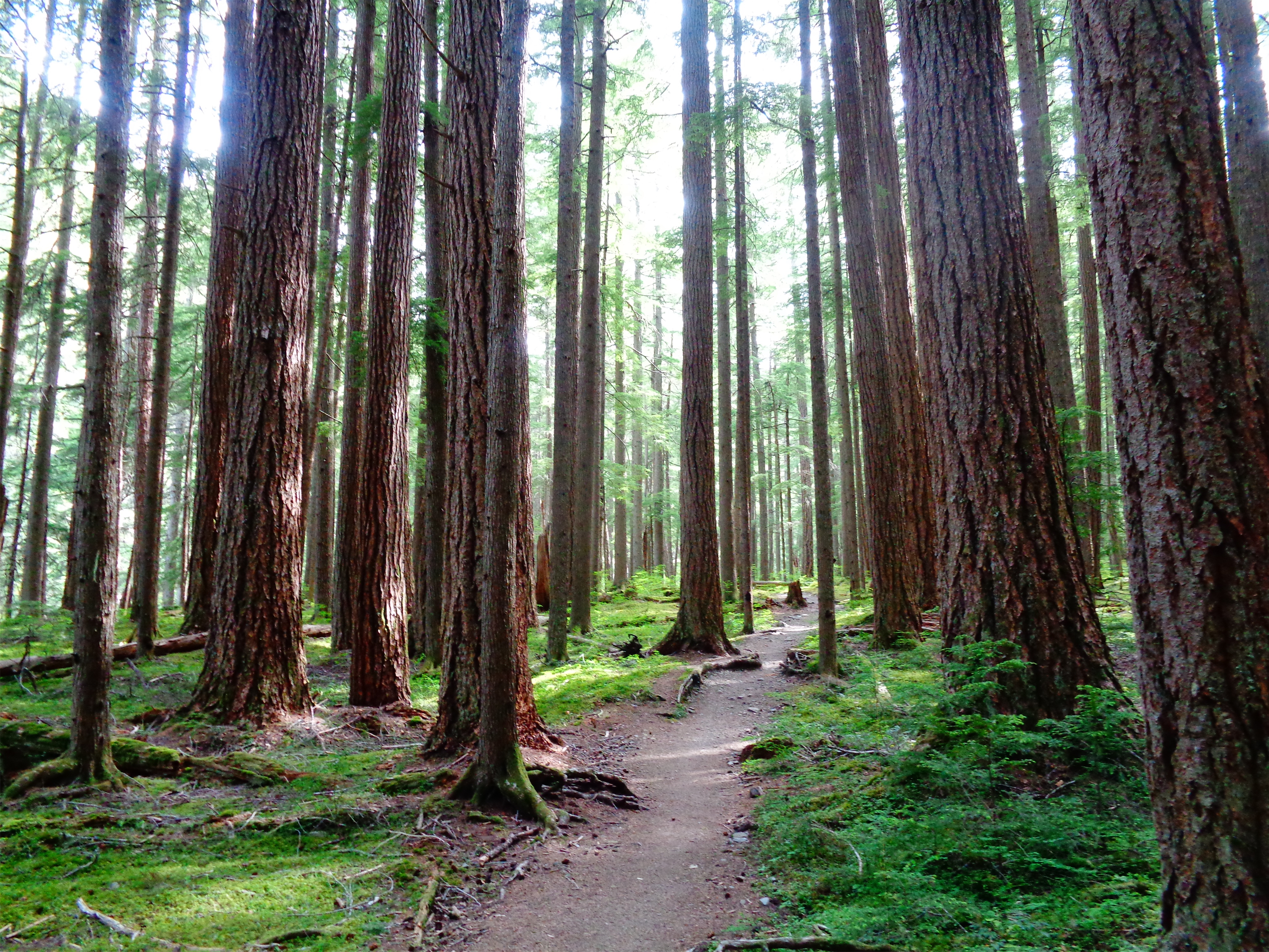
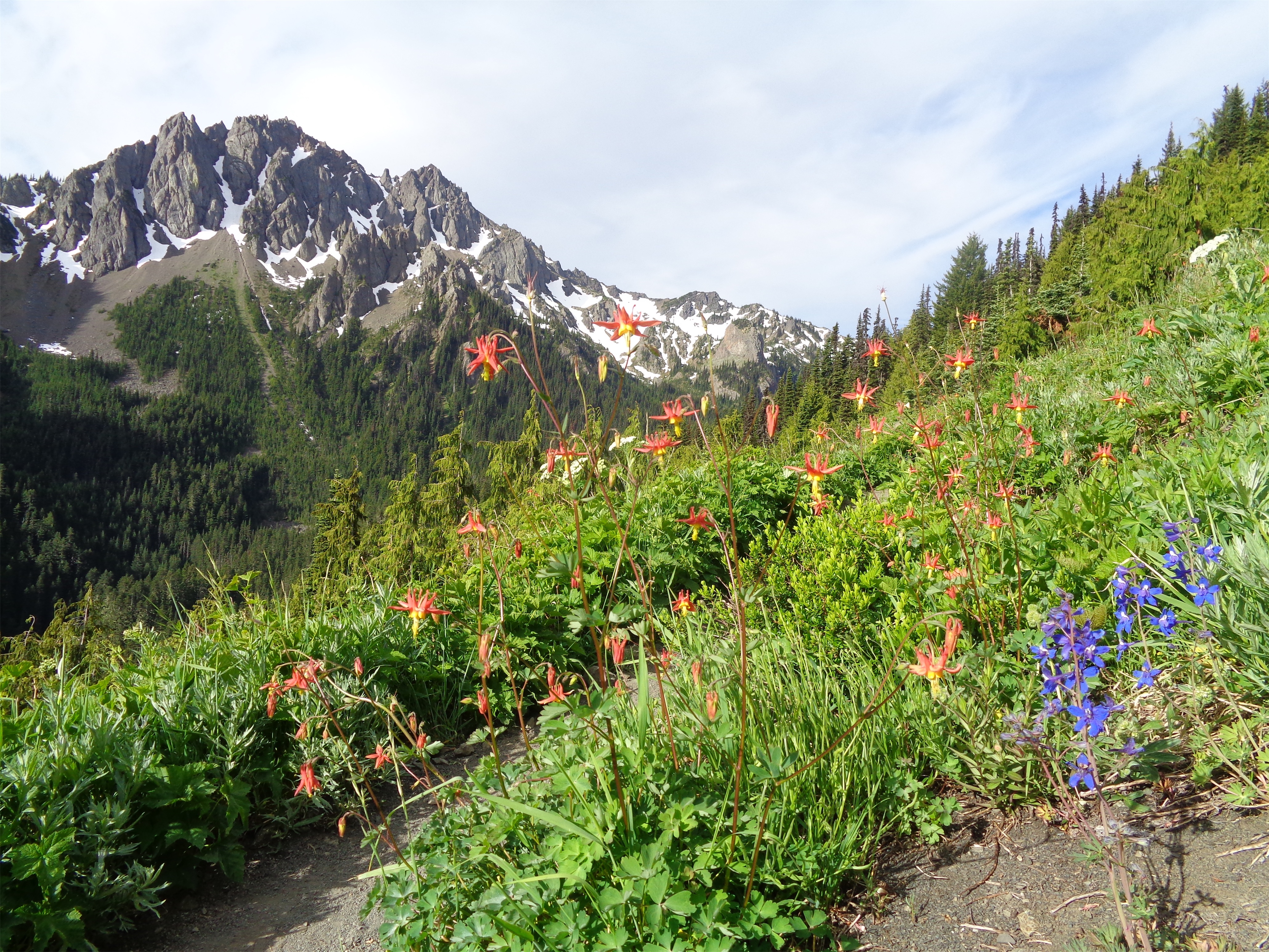
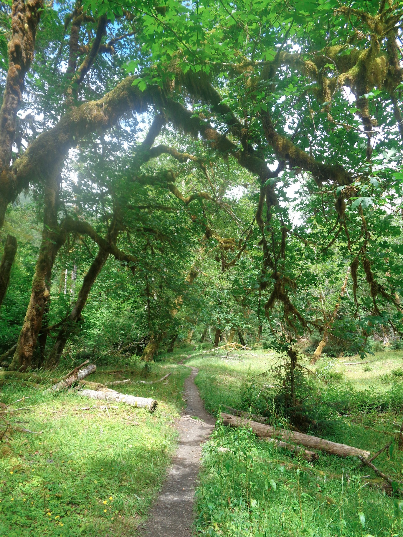
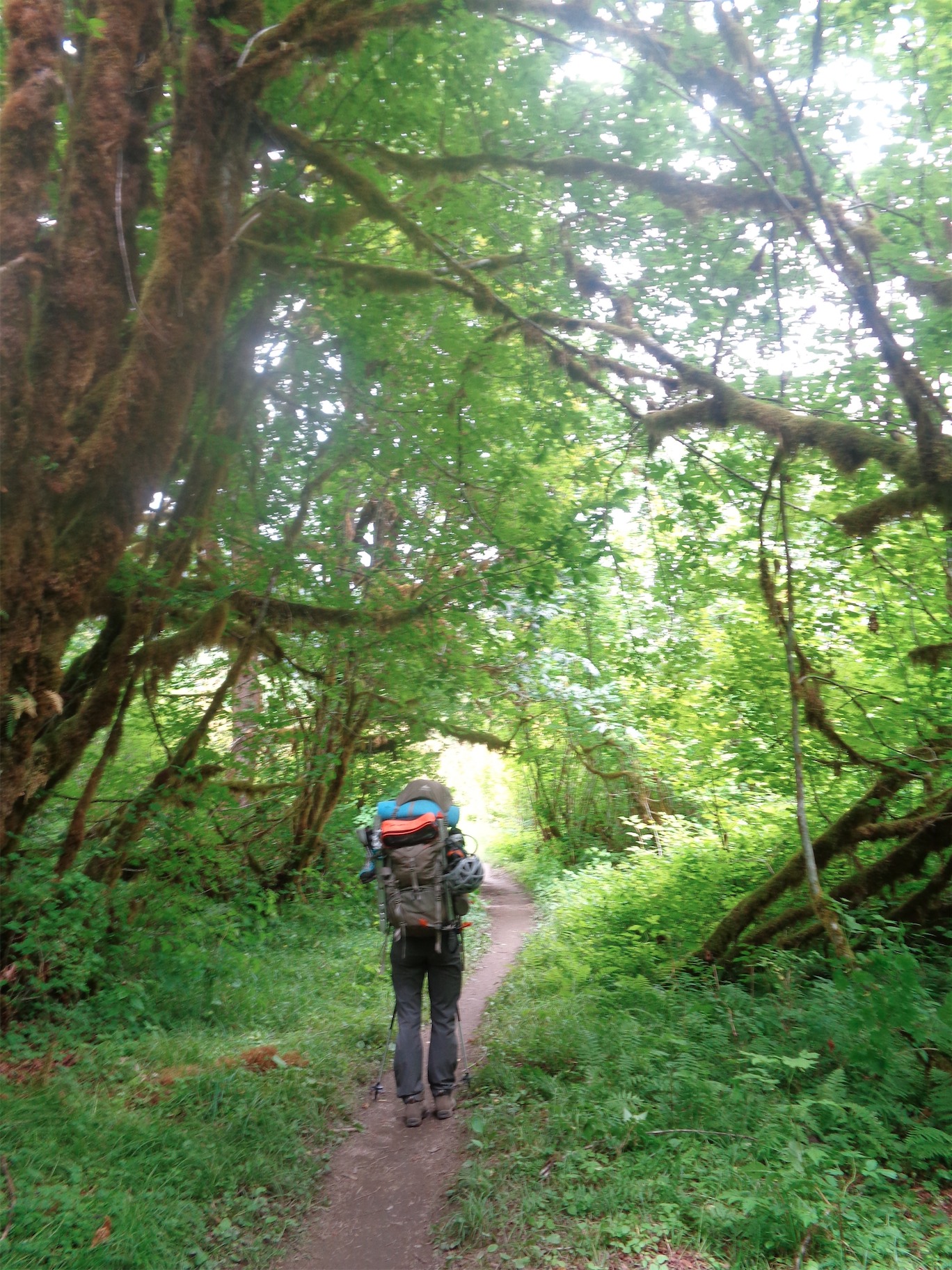
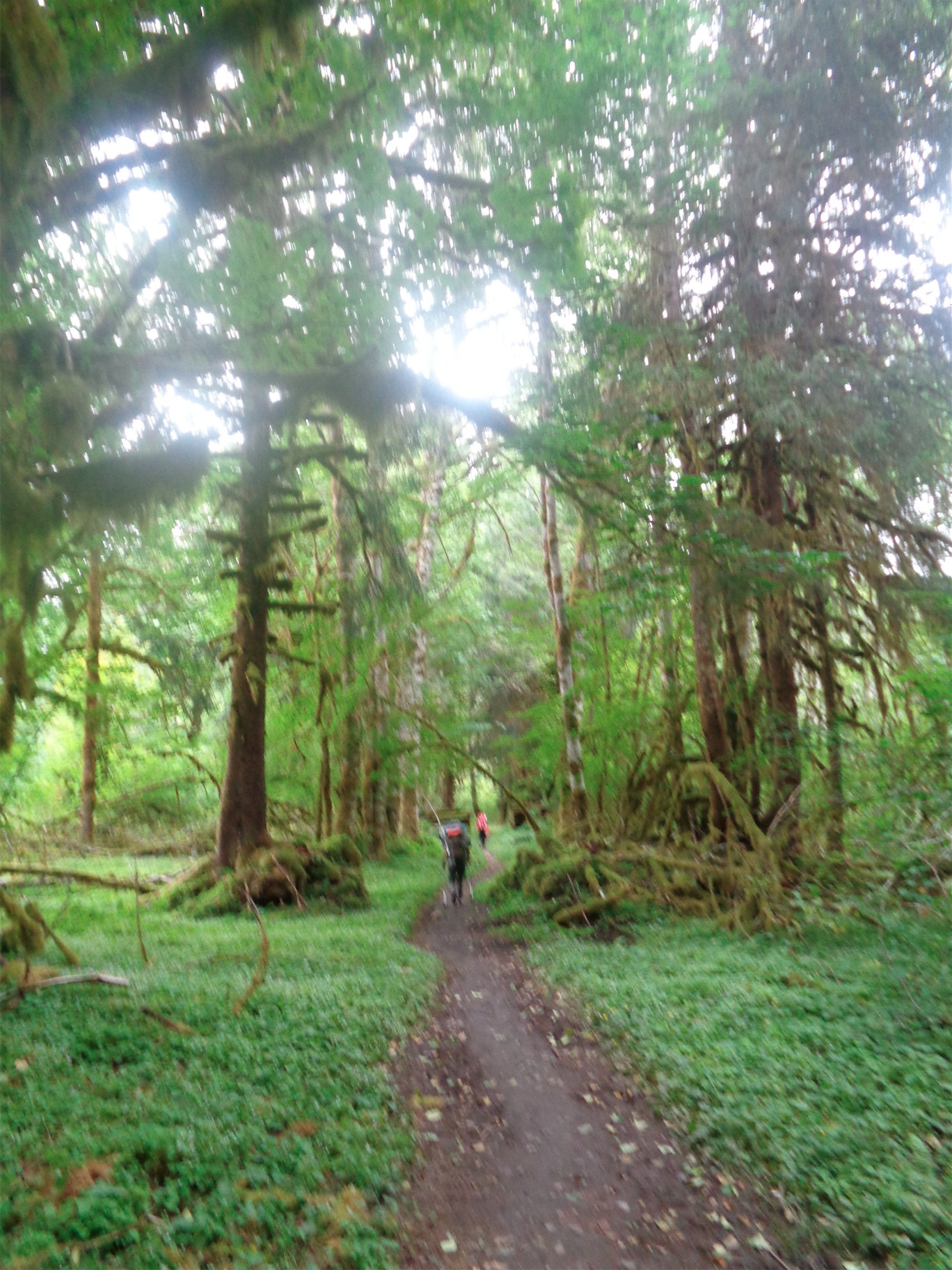
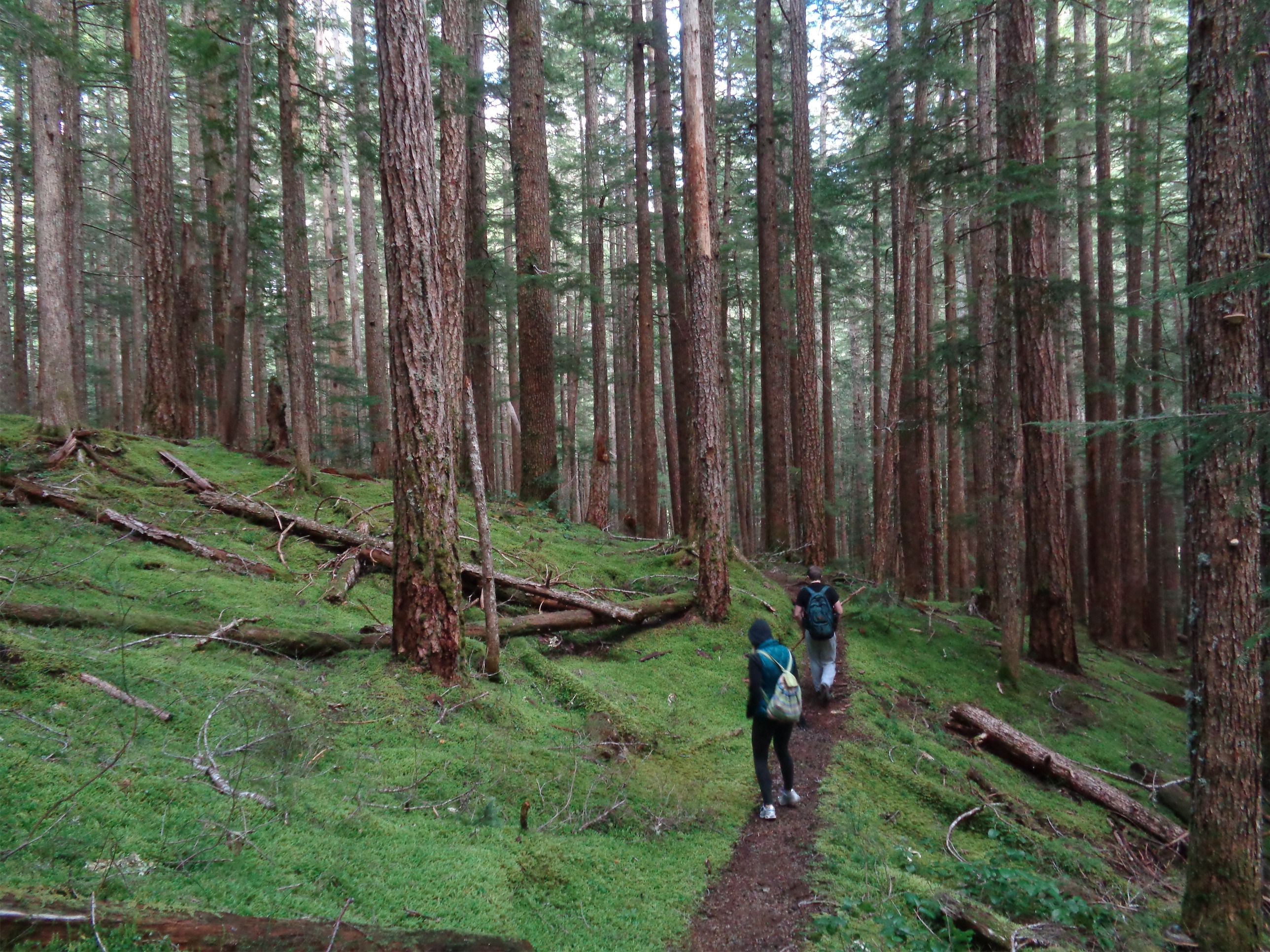
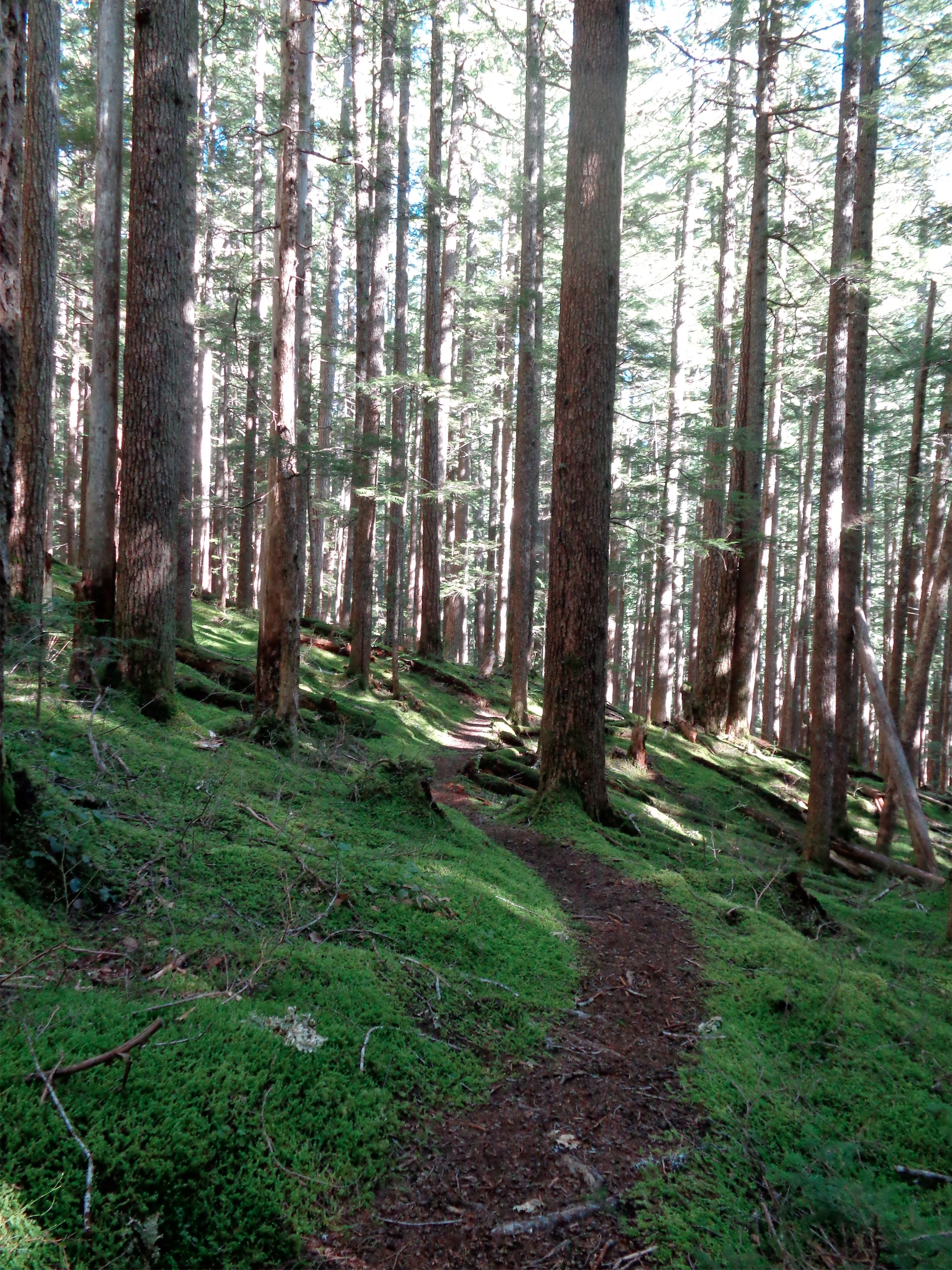
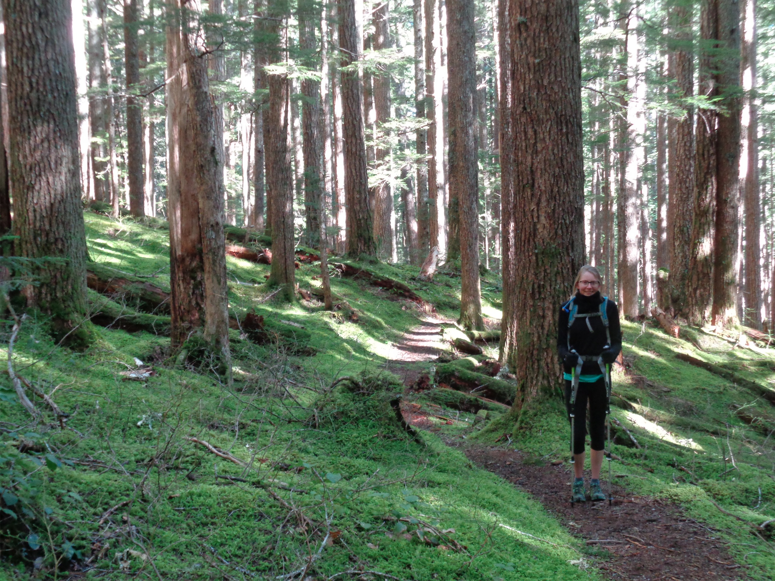
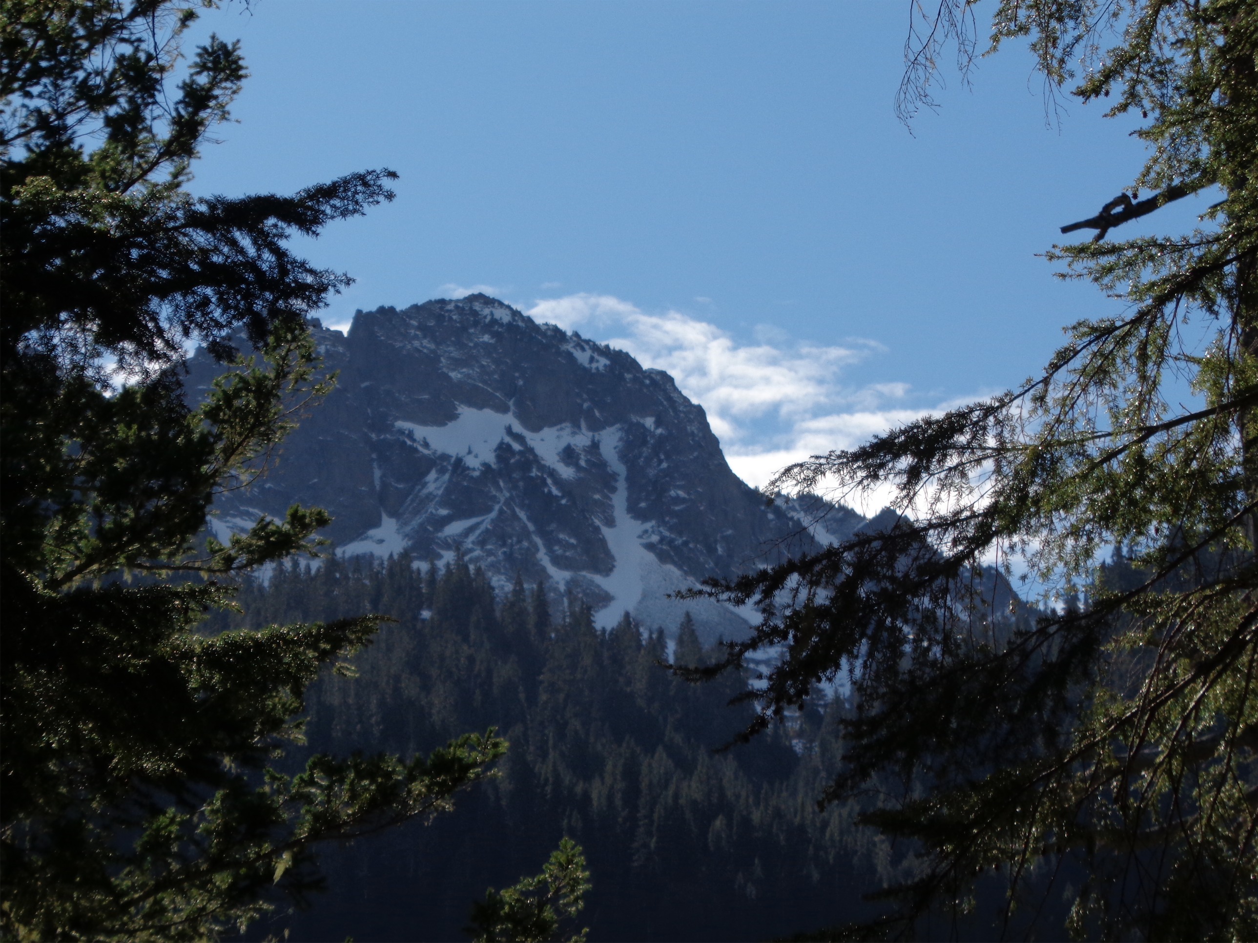
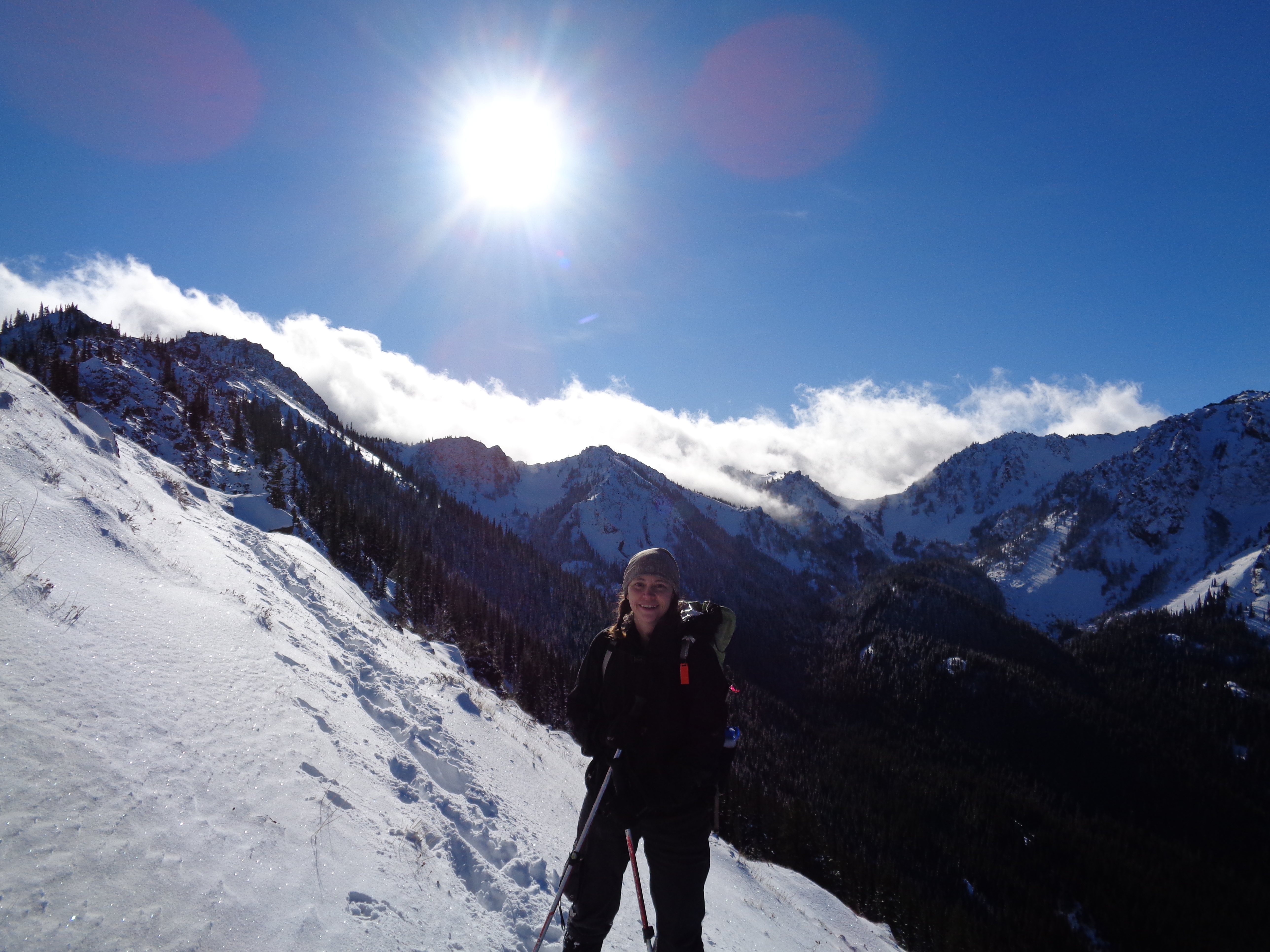
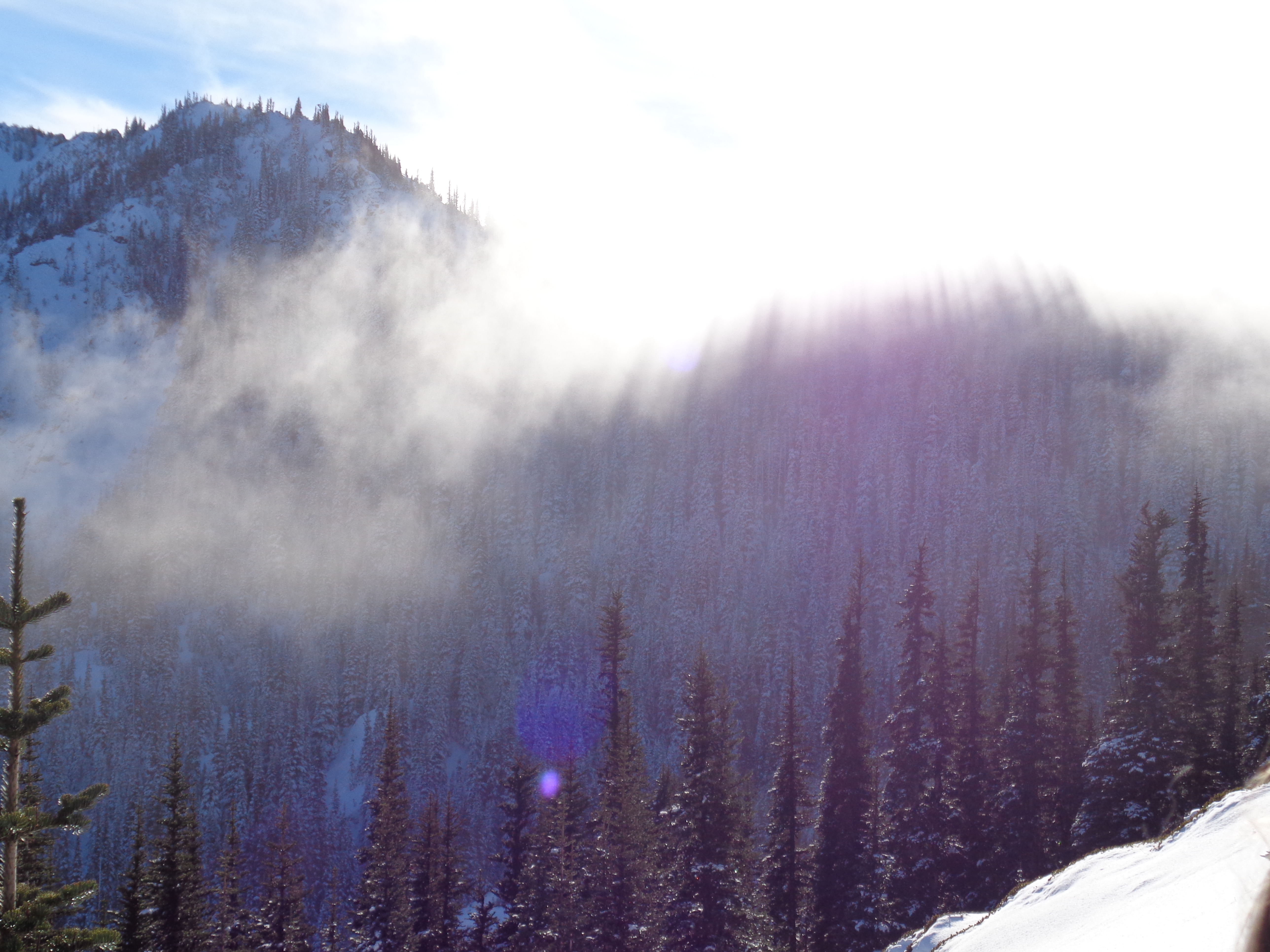
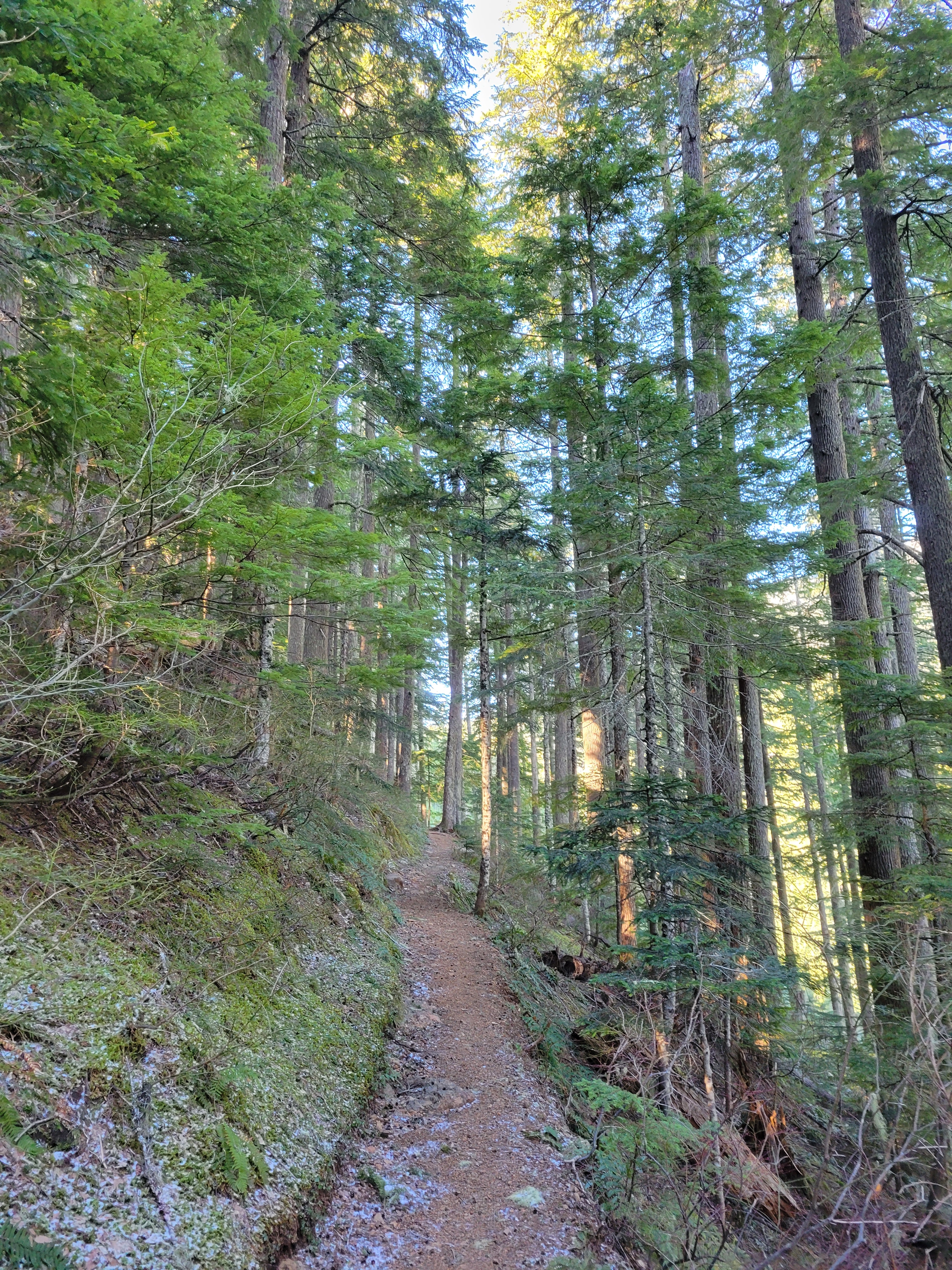
The trail was snow free all the way to the junction with the upper trailhead. I was raving about the scenery within 200ft of starting the trail. It’s just incredibly well maintained and cuts through extremely pleasant forest! I don’t know how else to put it. Just really beautiful. And yet I only took one picture. AJ said Ellinor in winter was a treat but I still underestimated it. And it was warm! I was hilariously overdressed, but I was so relieved that it wasn’t the opposite.
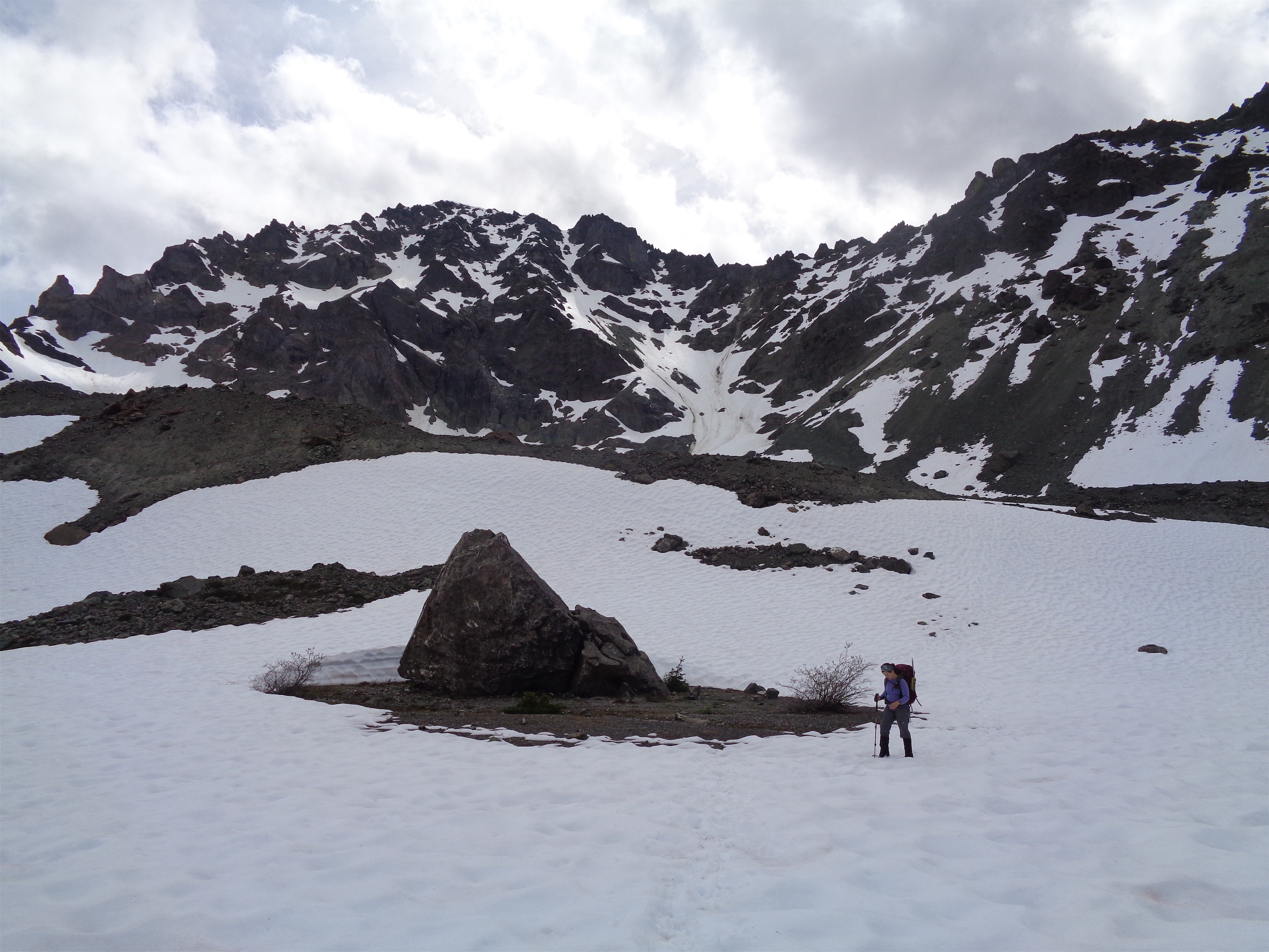
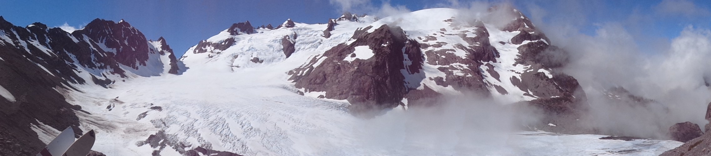
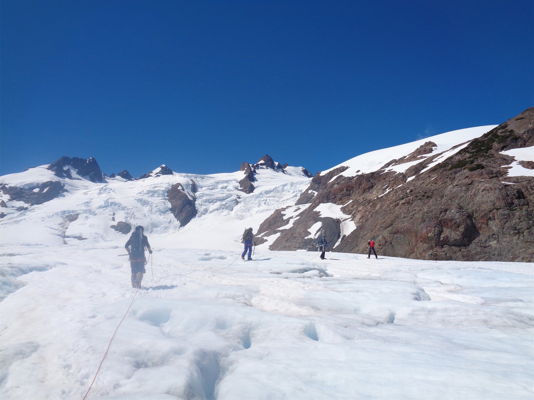
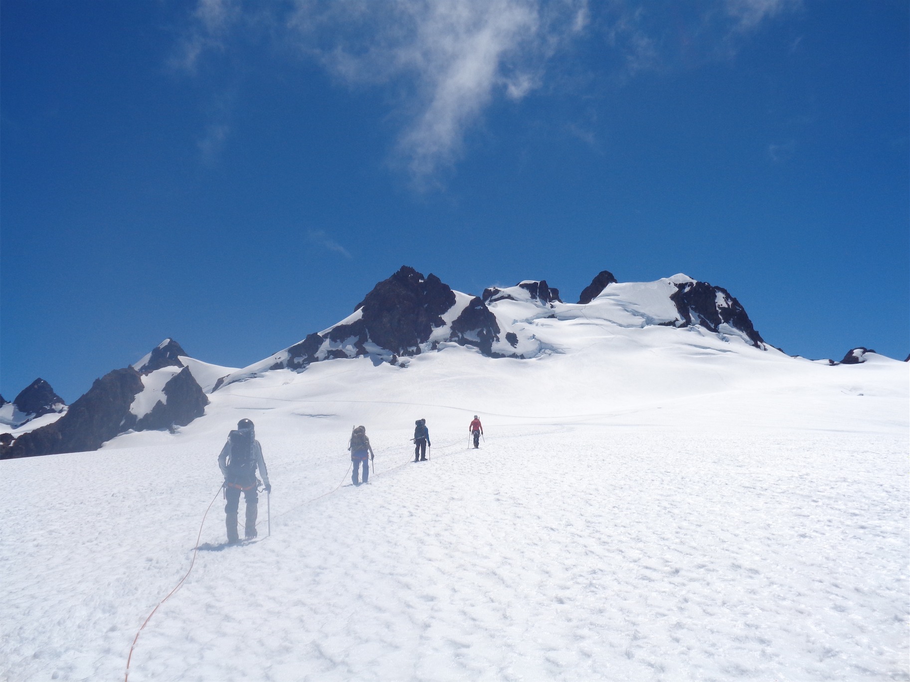
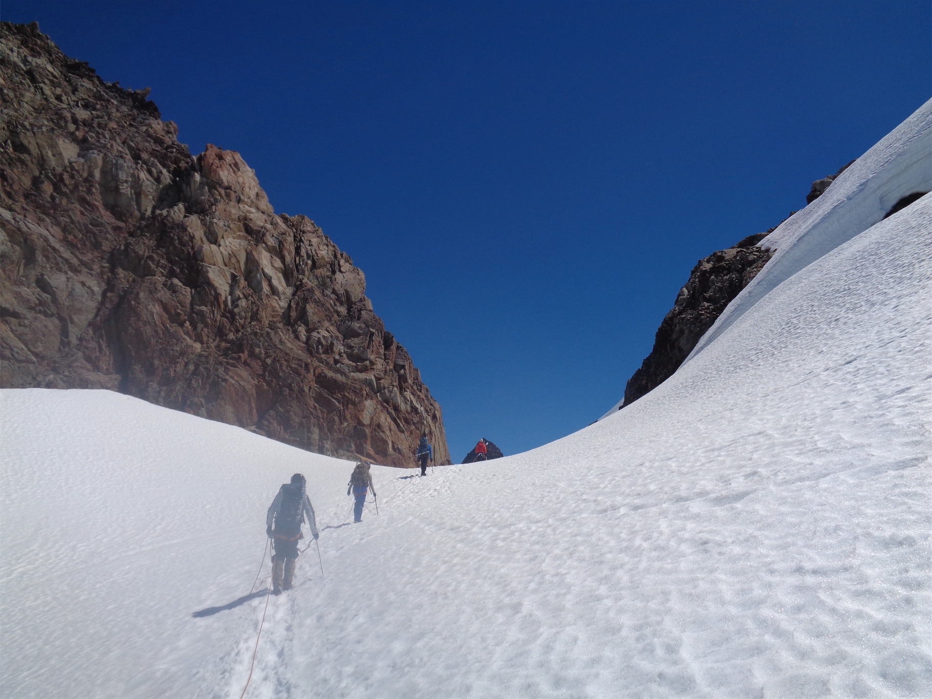
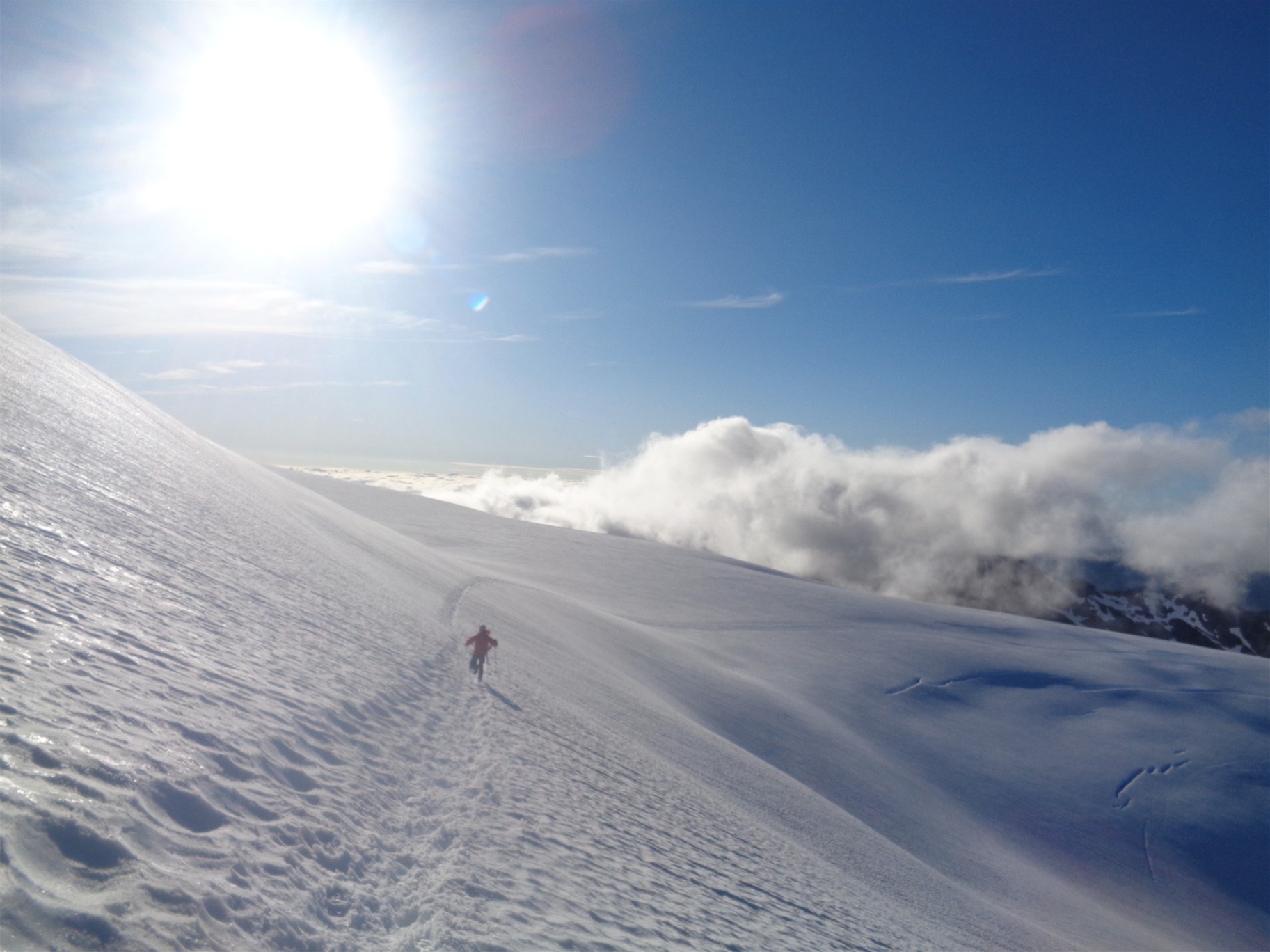
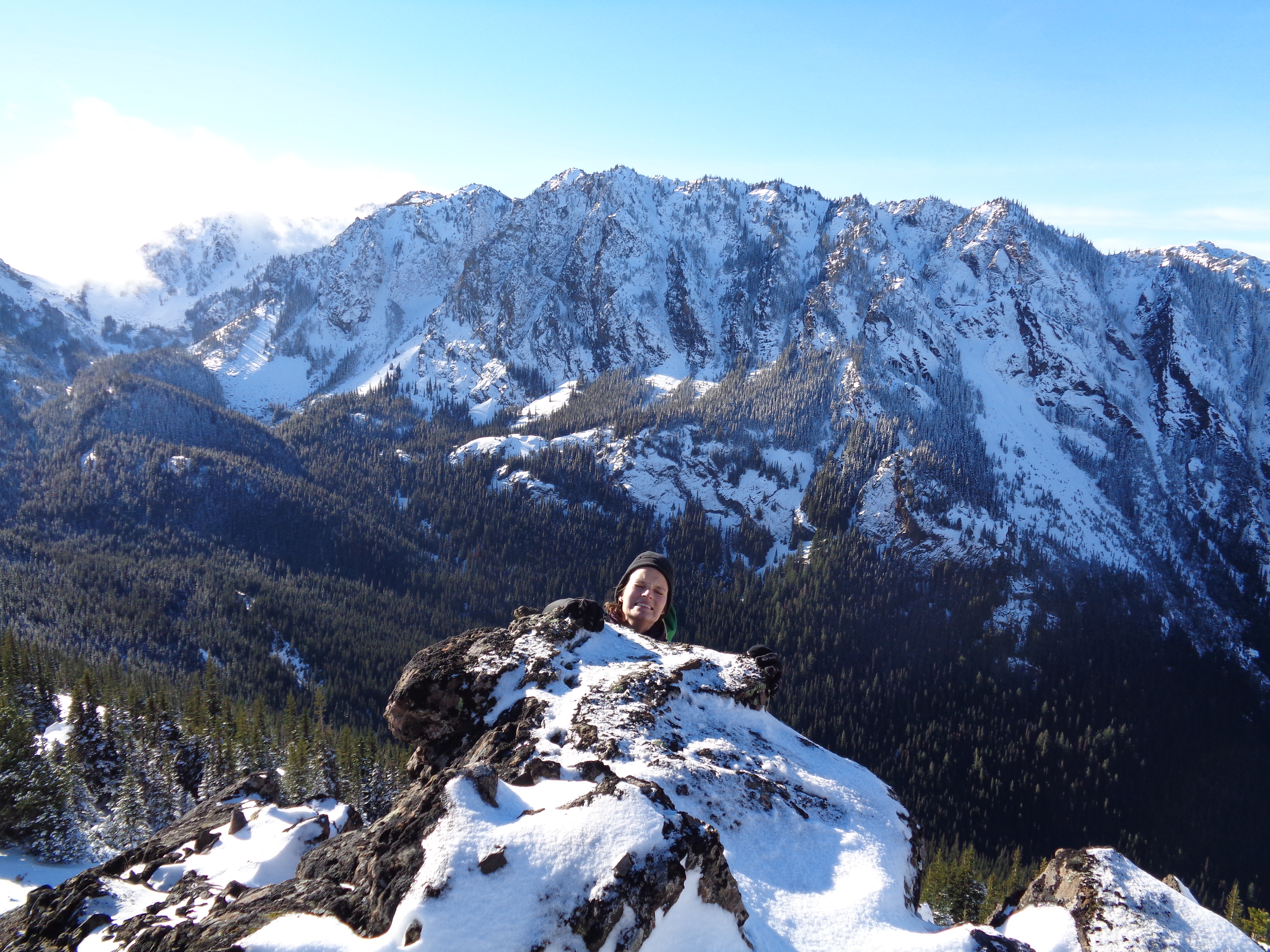
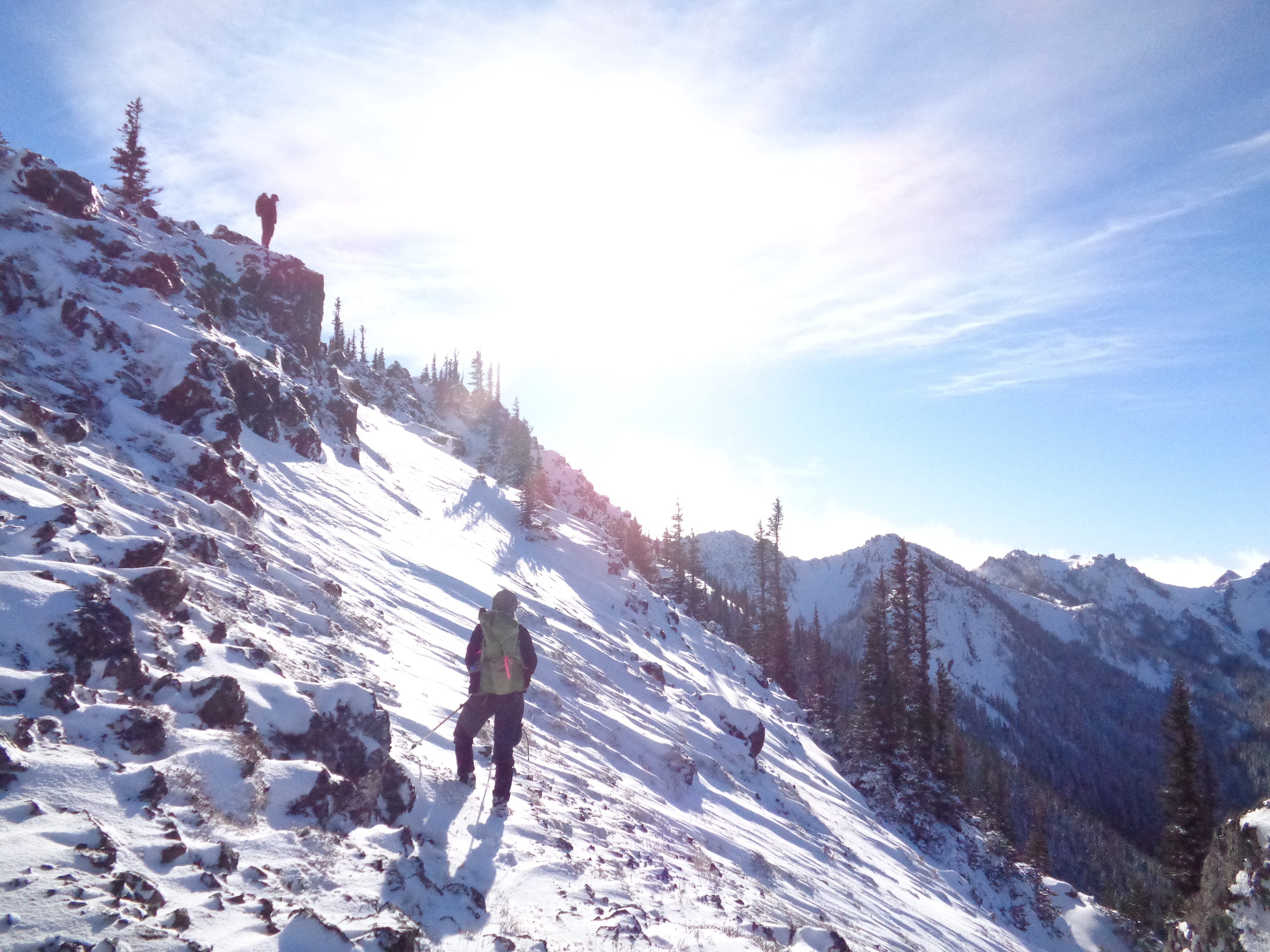
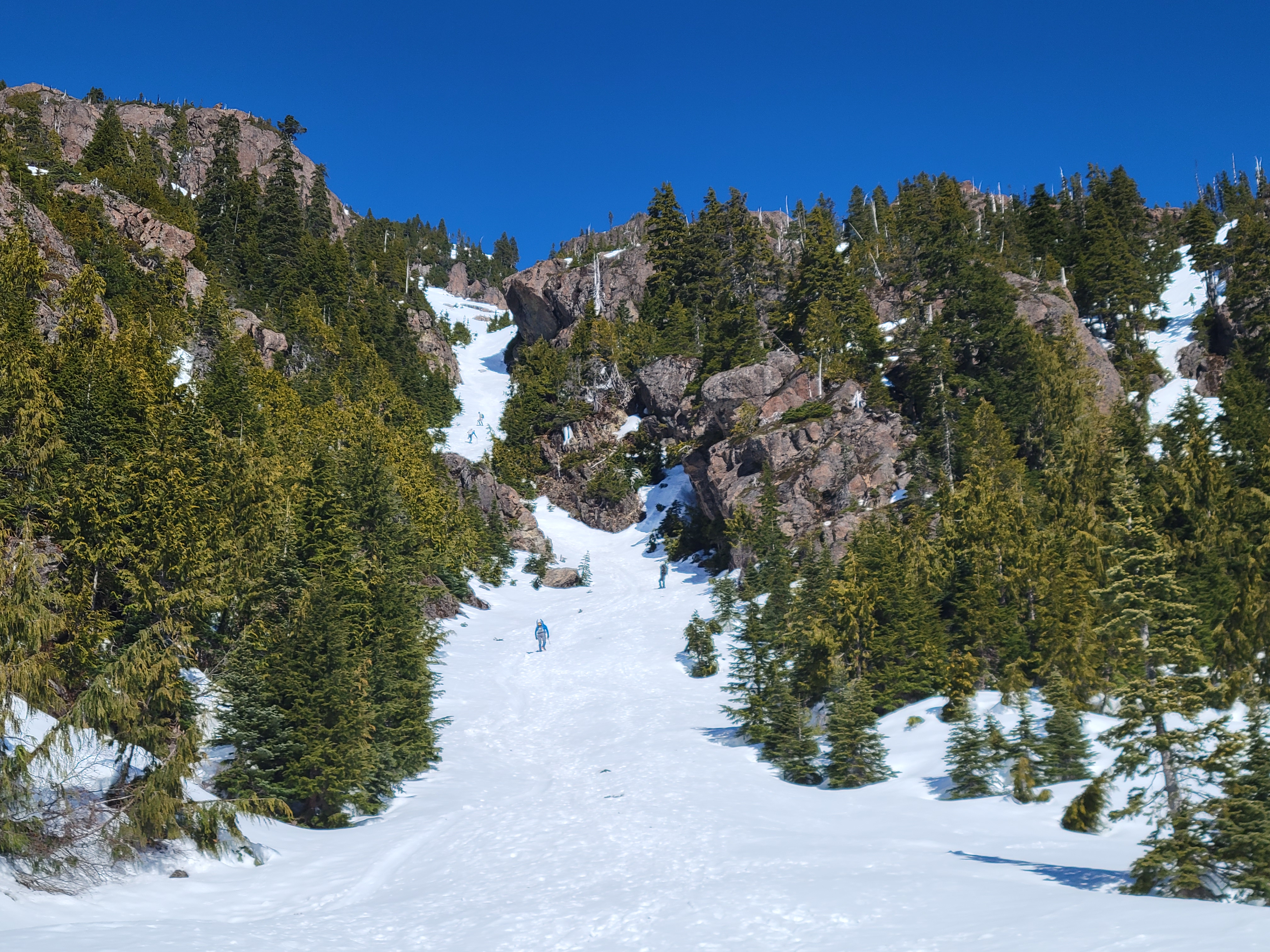
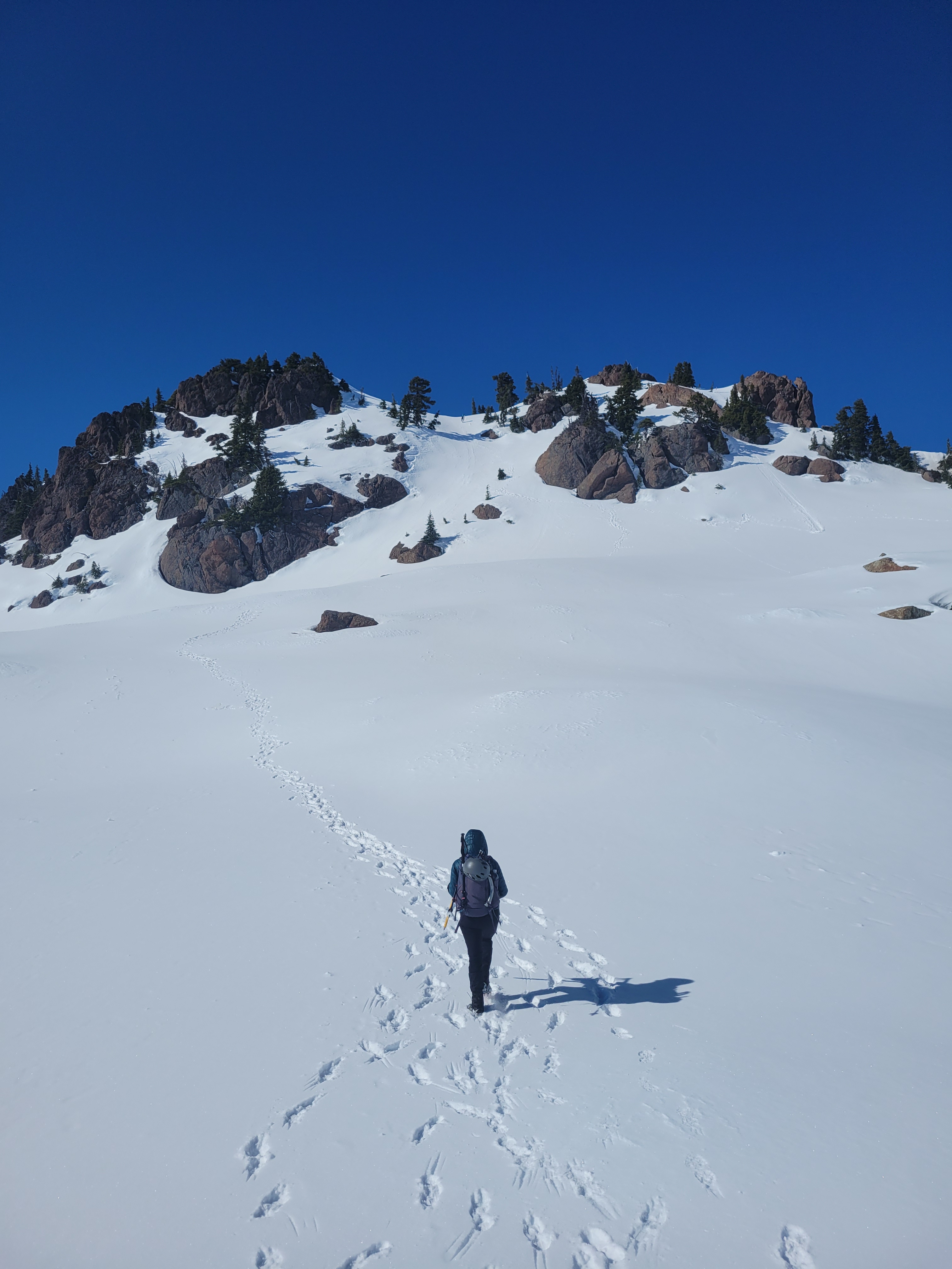
Once you hit the junction with the upper trailhead, the trail gets more serious. Switchbacks, elevation gain, and snow started. We put on microspikes. We were cruising, split off from the summer trail to follow the winter route, and suddenly we were at the base of the famous chute. And damn it looked looong and steep from where we were standing.

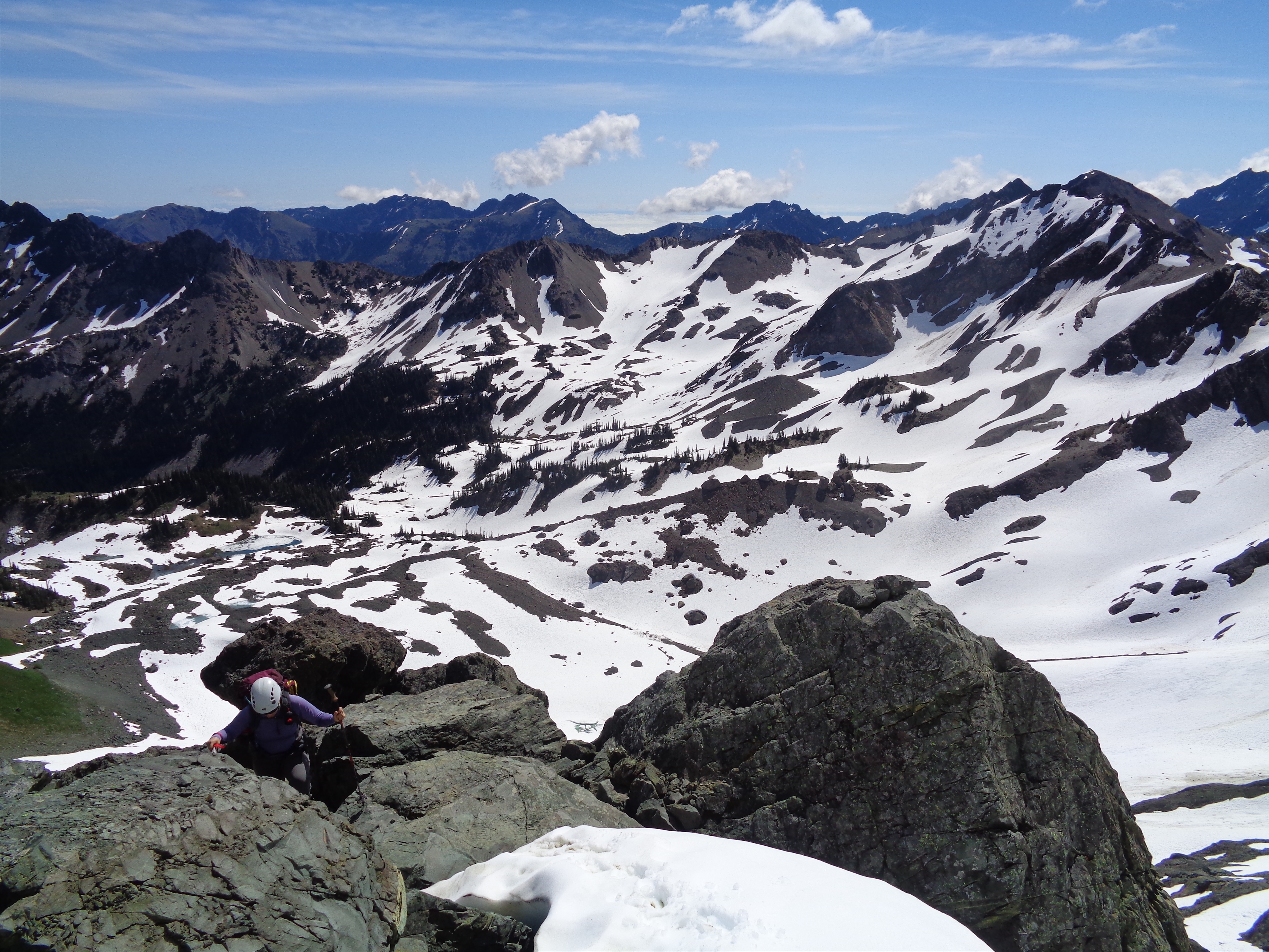
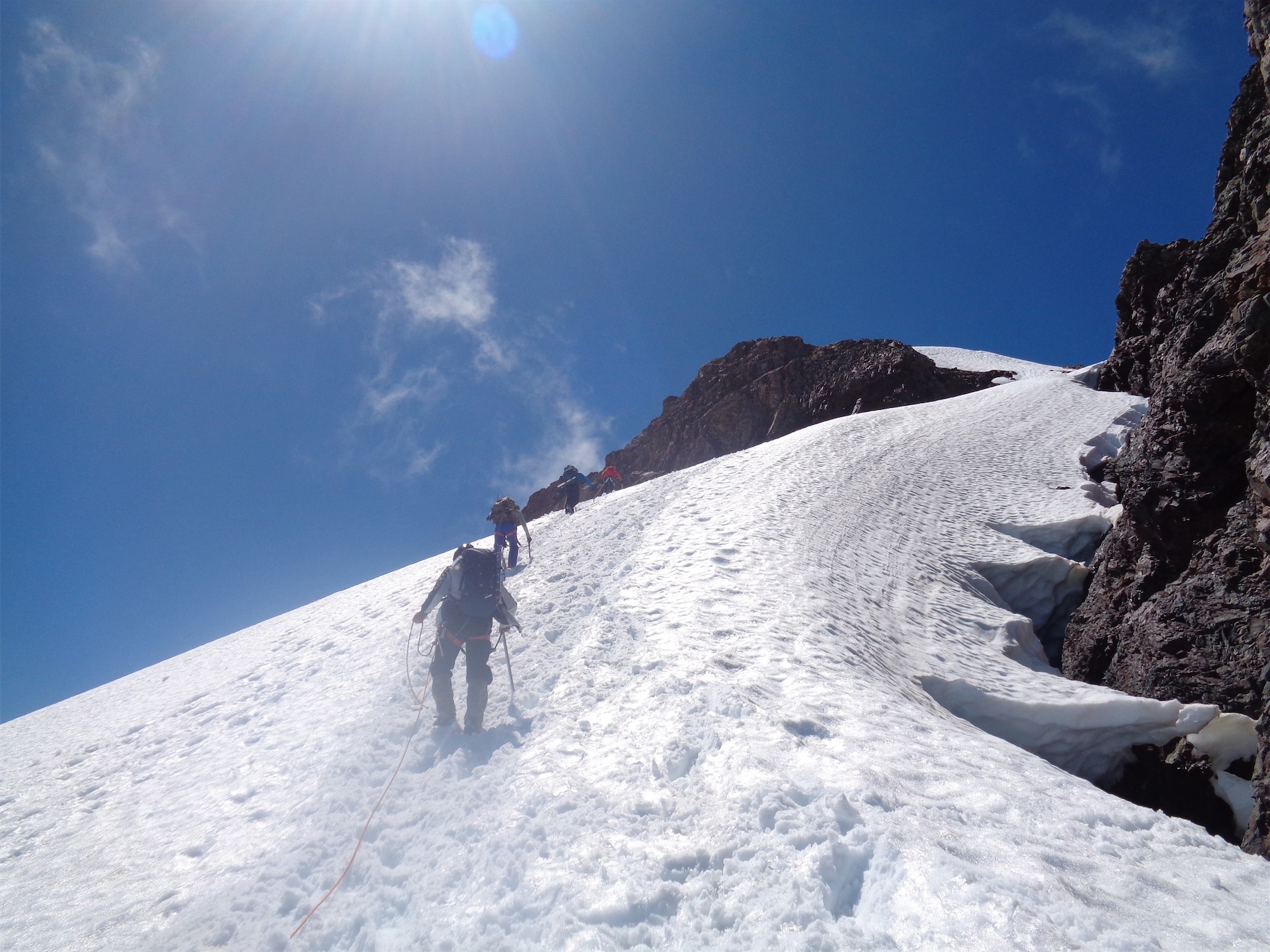
We decided to stick with microspikes. The snow was soft, traction had been good, I didn’t see a need for crampons. Until we were about halfway up the chute, and the snowpack turned to 1″ of slush on top of blue ice with no steps kicked prior, no staircase, just us and a snow slope. With our best pseudo french technique and some hilarious borderline crawling with axes we made it to the top and immediately switched to crampons. No one ever said the alpine was graceful all the time. I snapped a few pics of another hiker, Gregg, coming up the chute. I was stoked to share them with him until I realized my finger was in the way of every. Single. Picture. Sorry Gregg. If you’re out there.
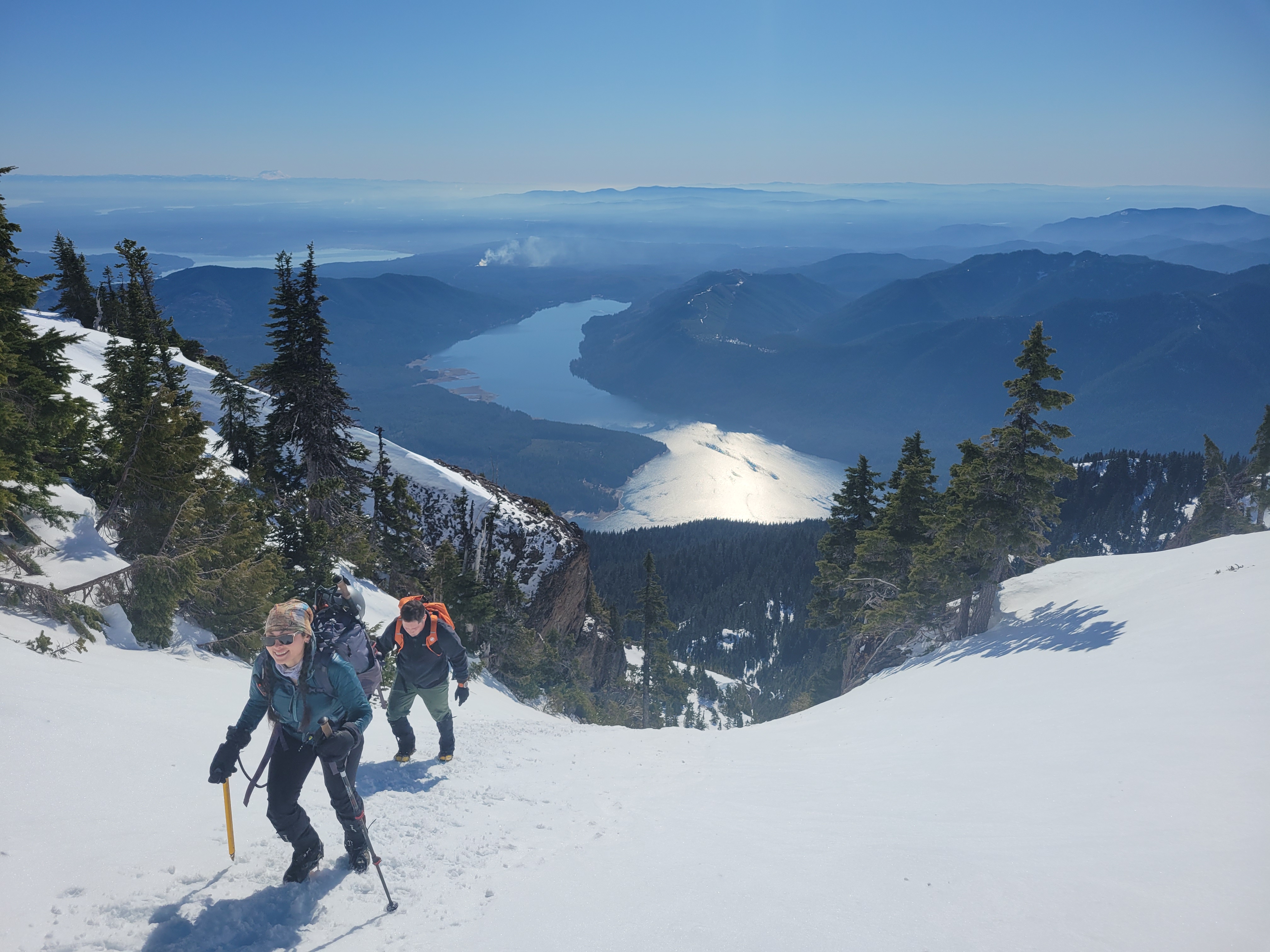
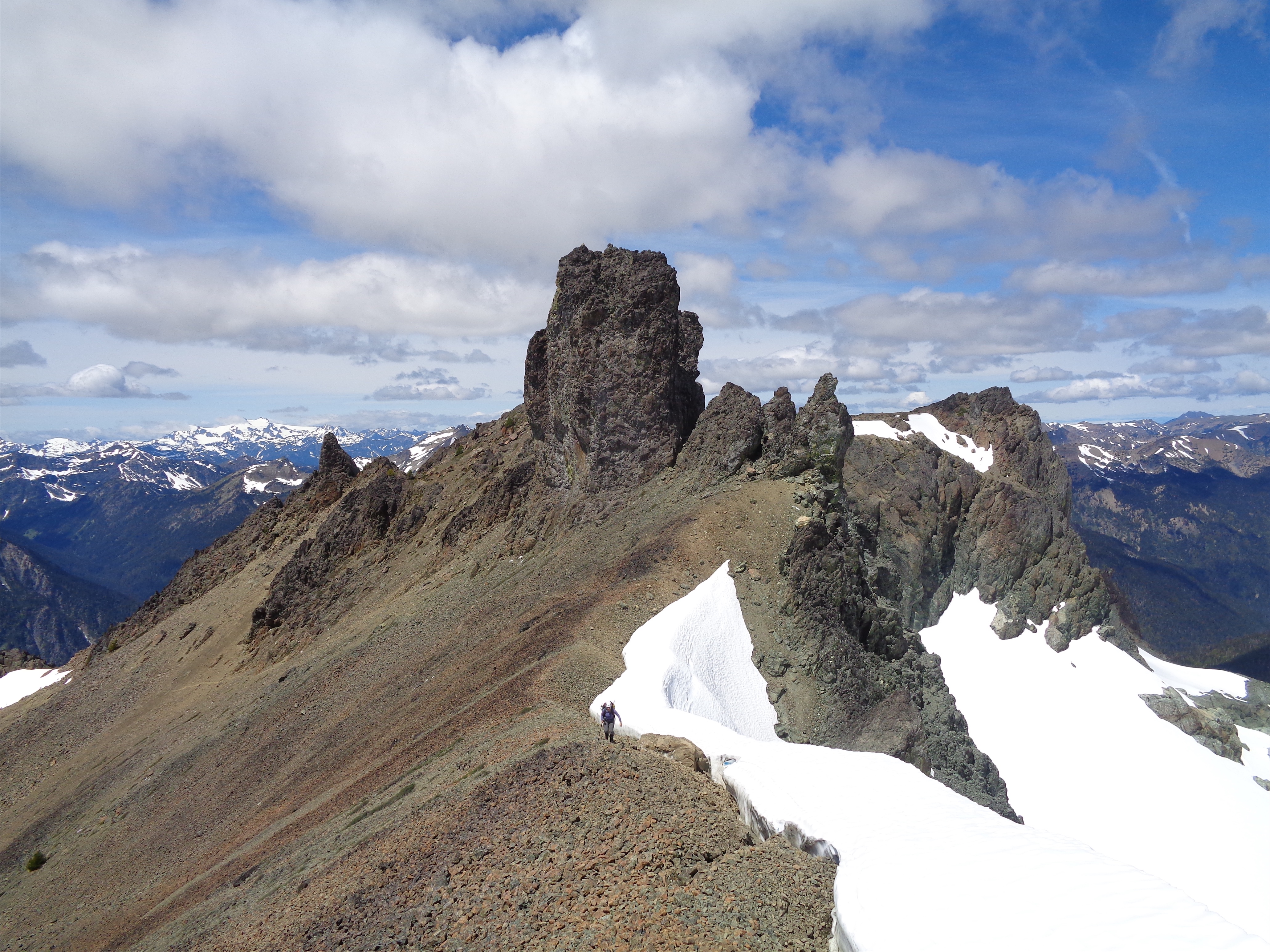
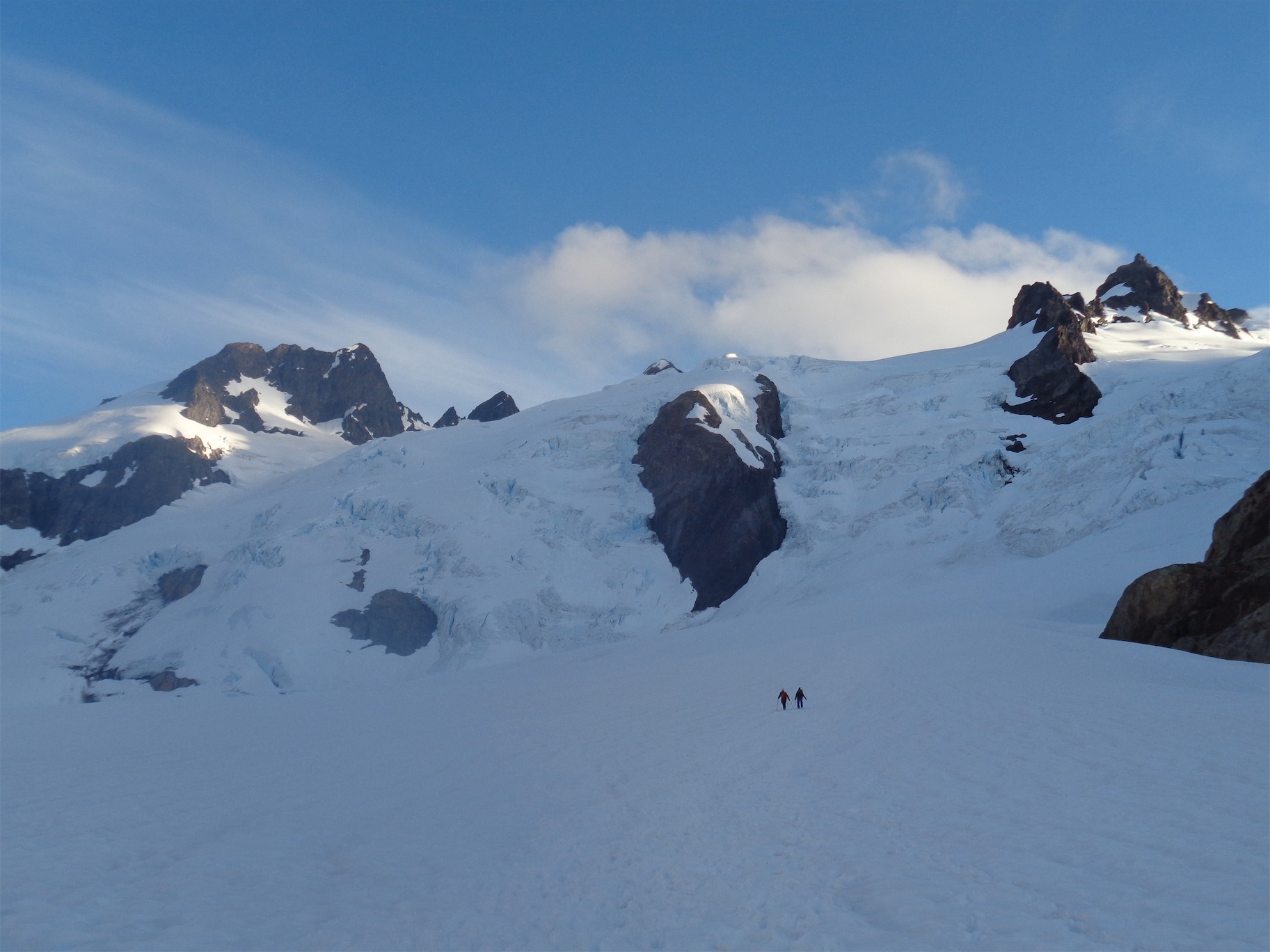
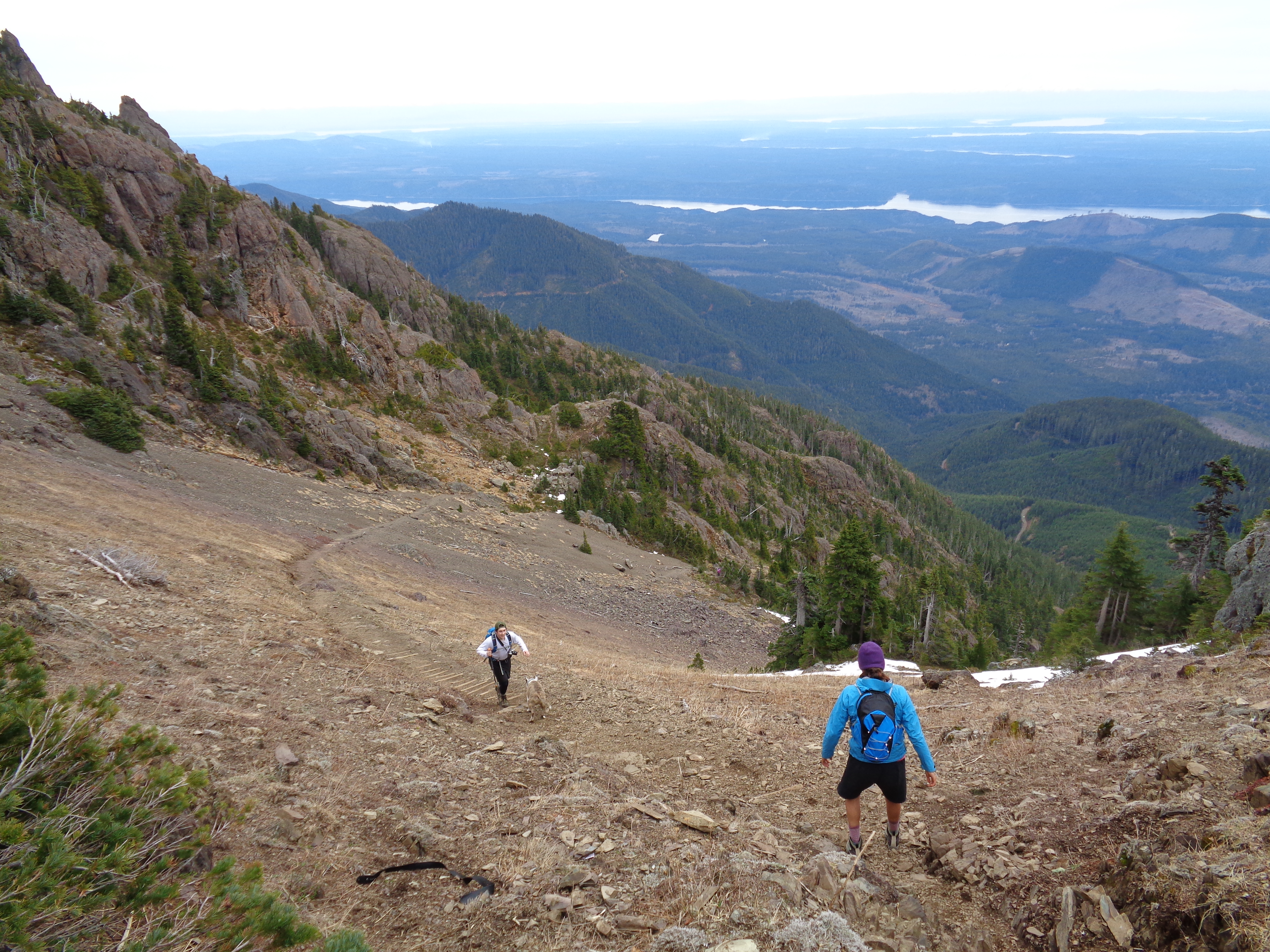
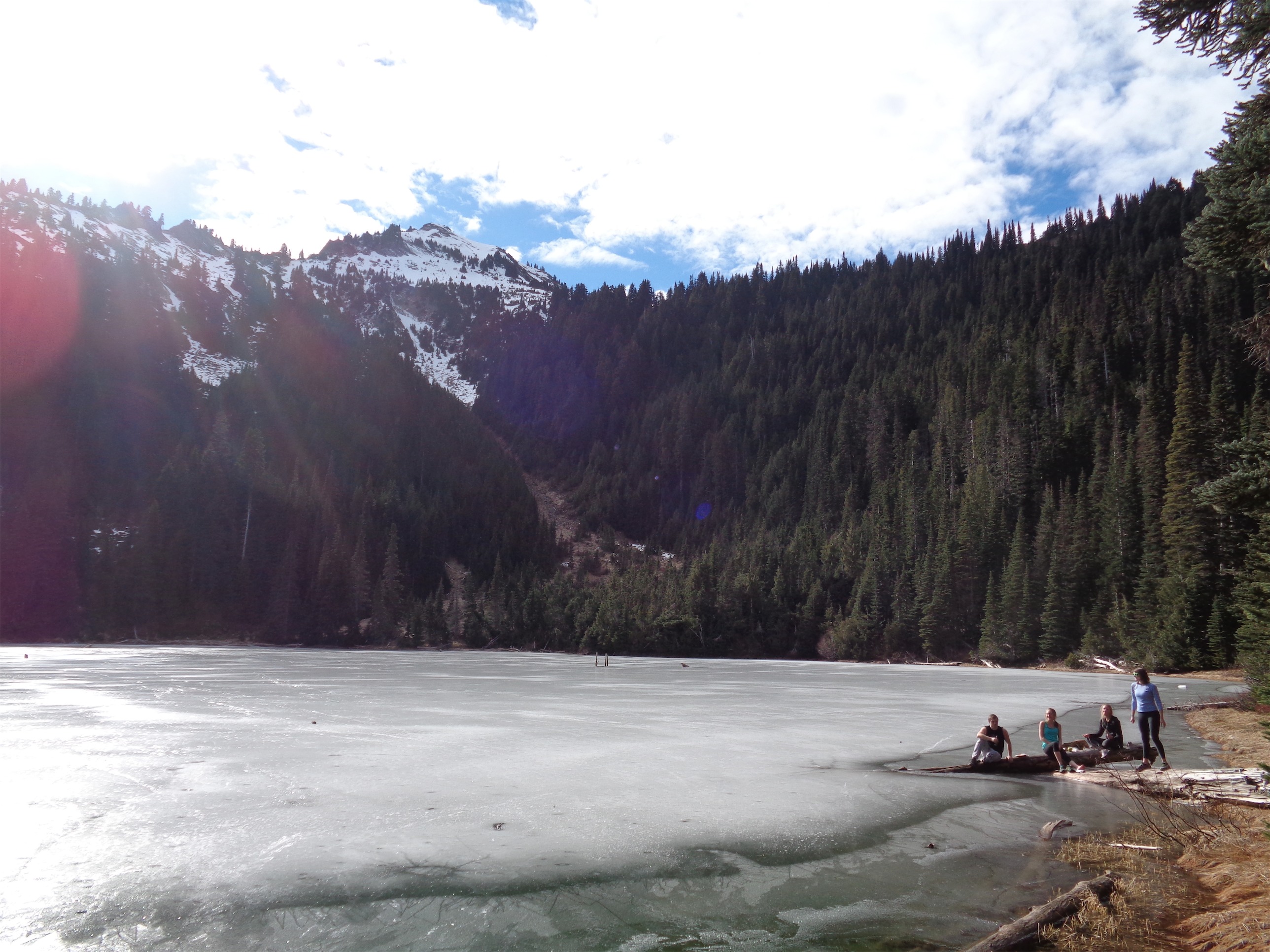
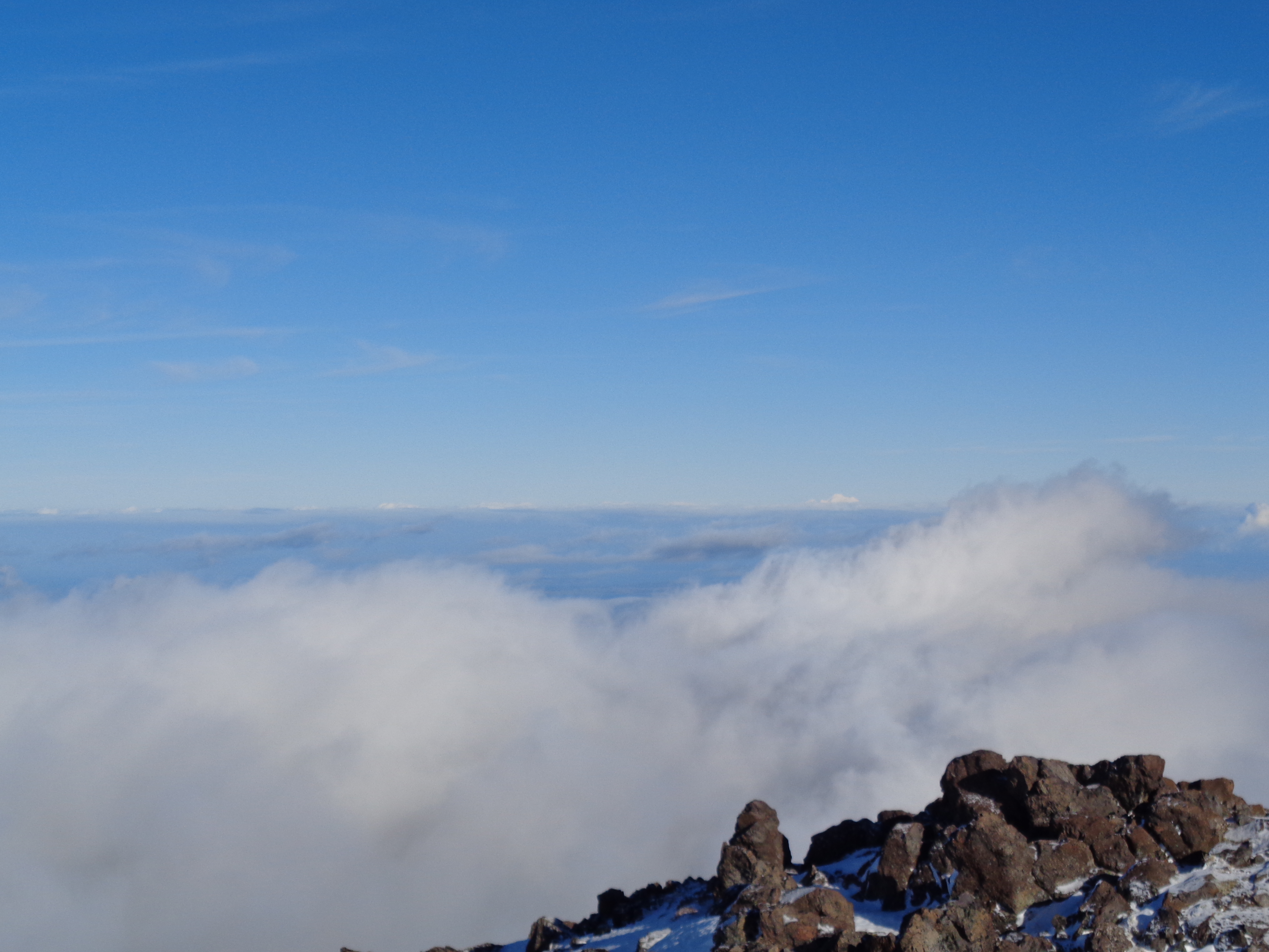
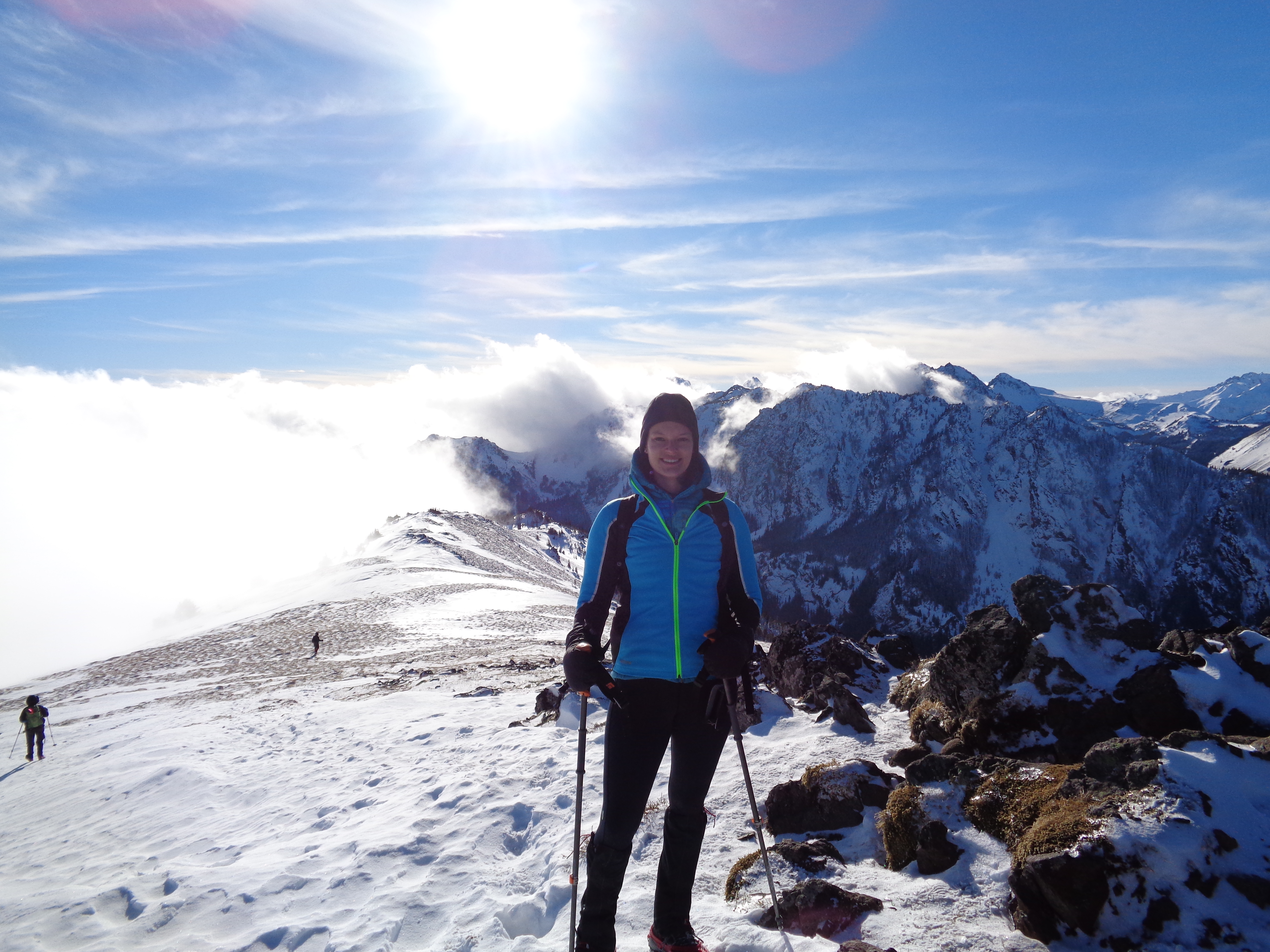
Once you’re at the top of the chute and standing in the lower basin, don’t get too comfy, because you still have two slopes to climb. Head left and up the wide slope in front of you, and once you’ve crested that, you’ll be elated to find yet another steep slope. We went straight up this final one, but it was even more icy, and the main trail wrapped around to the west and came back up the ridge to the true summit.
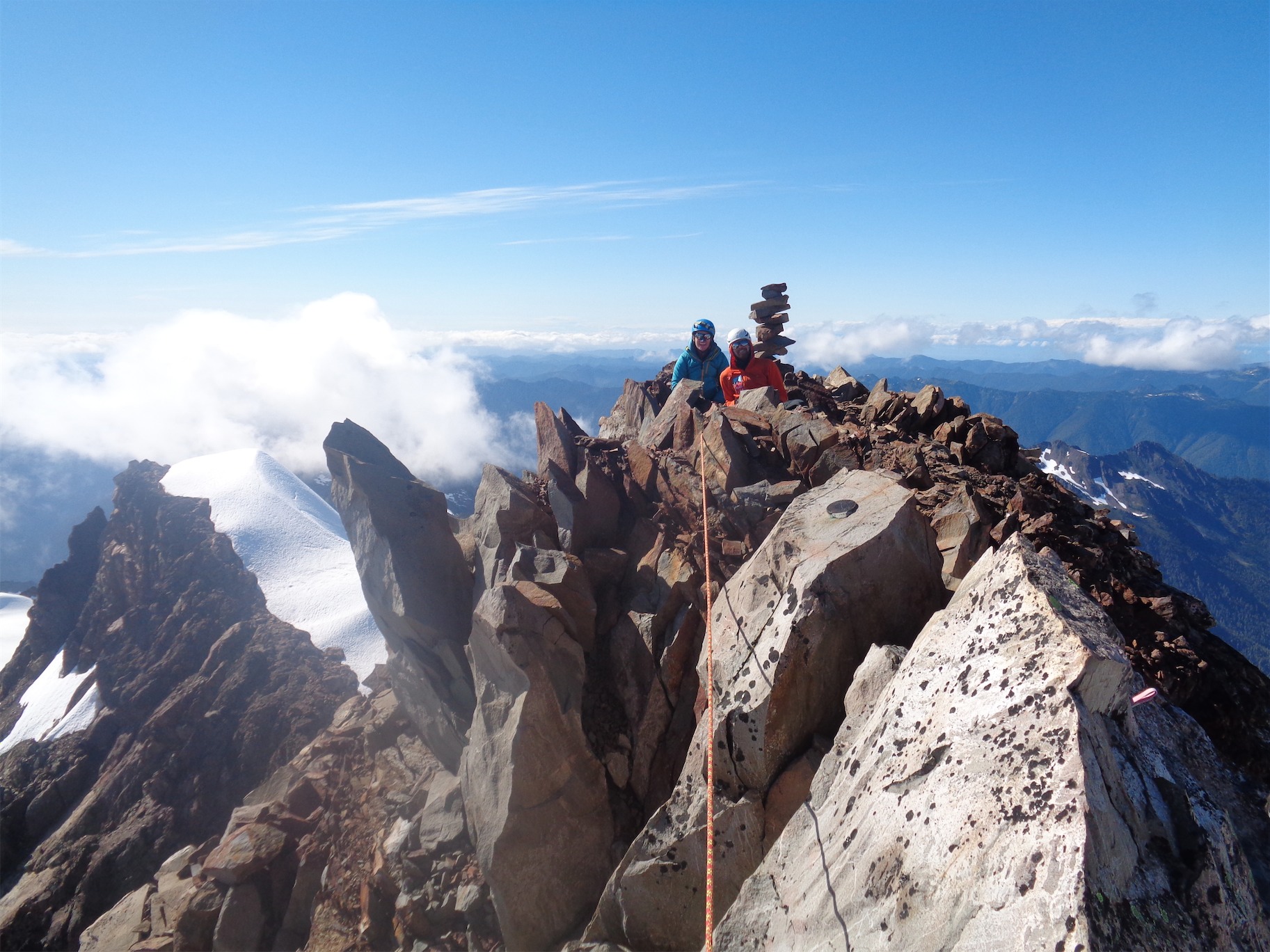
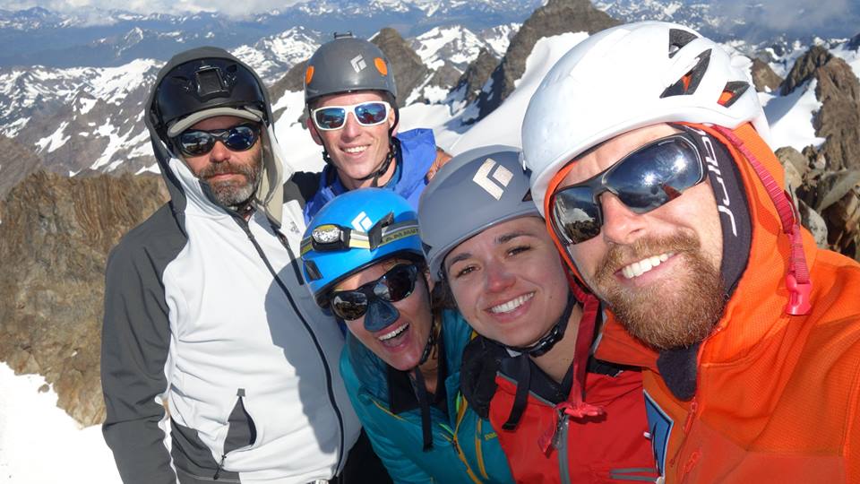
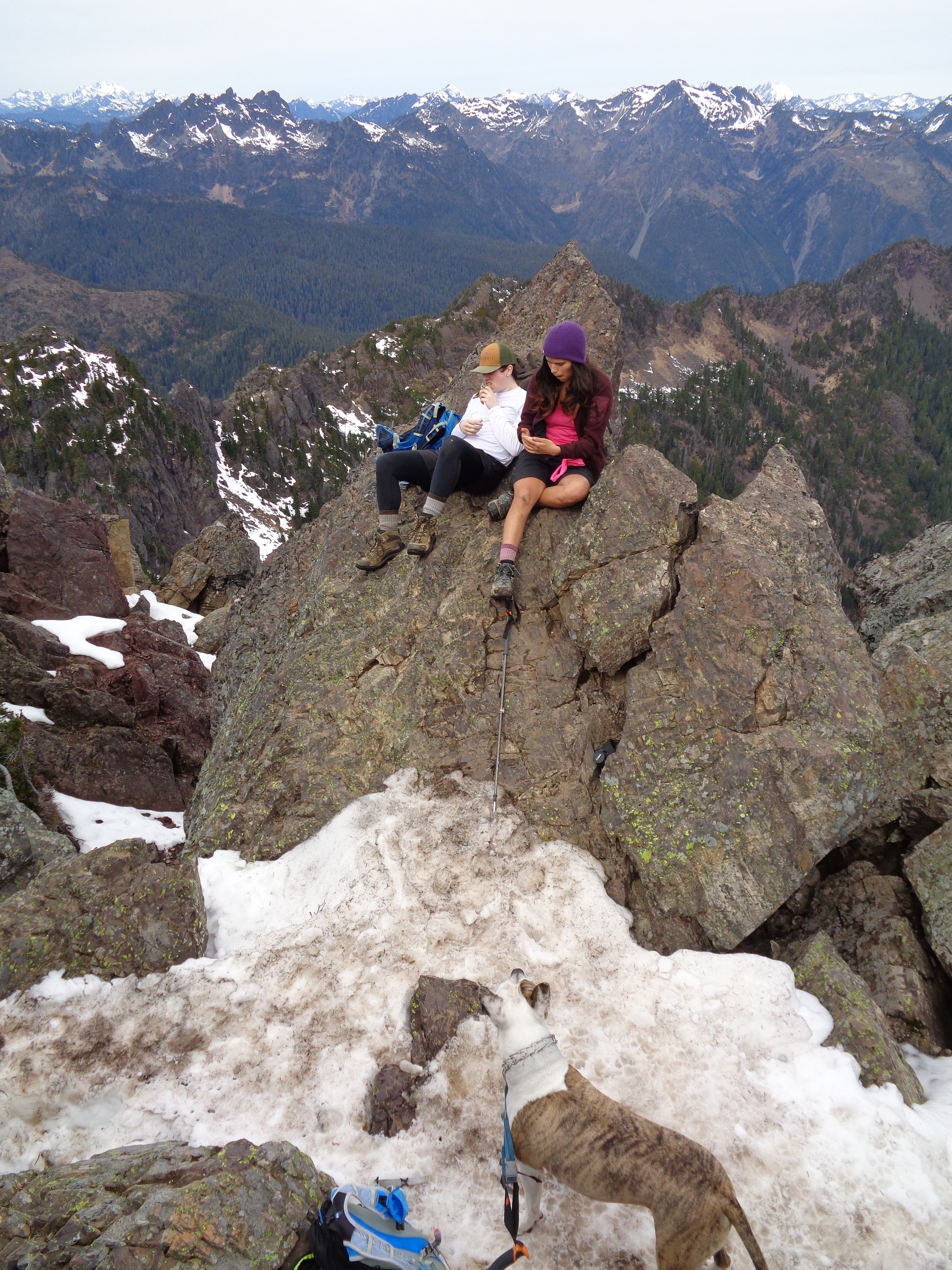
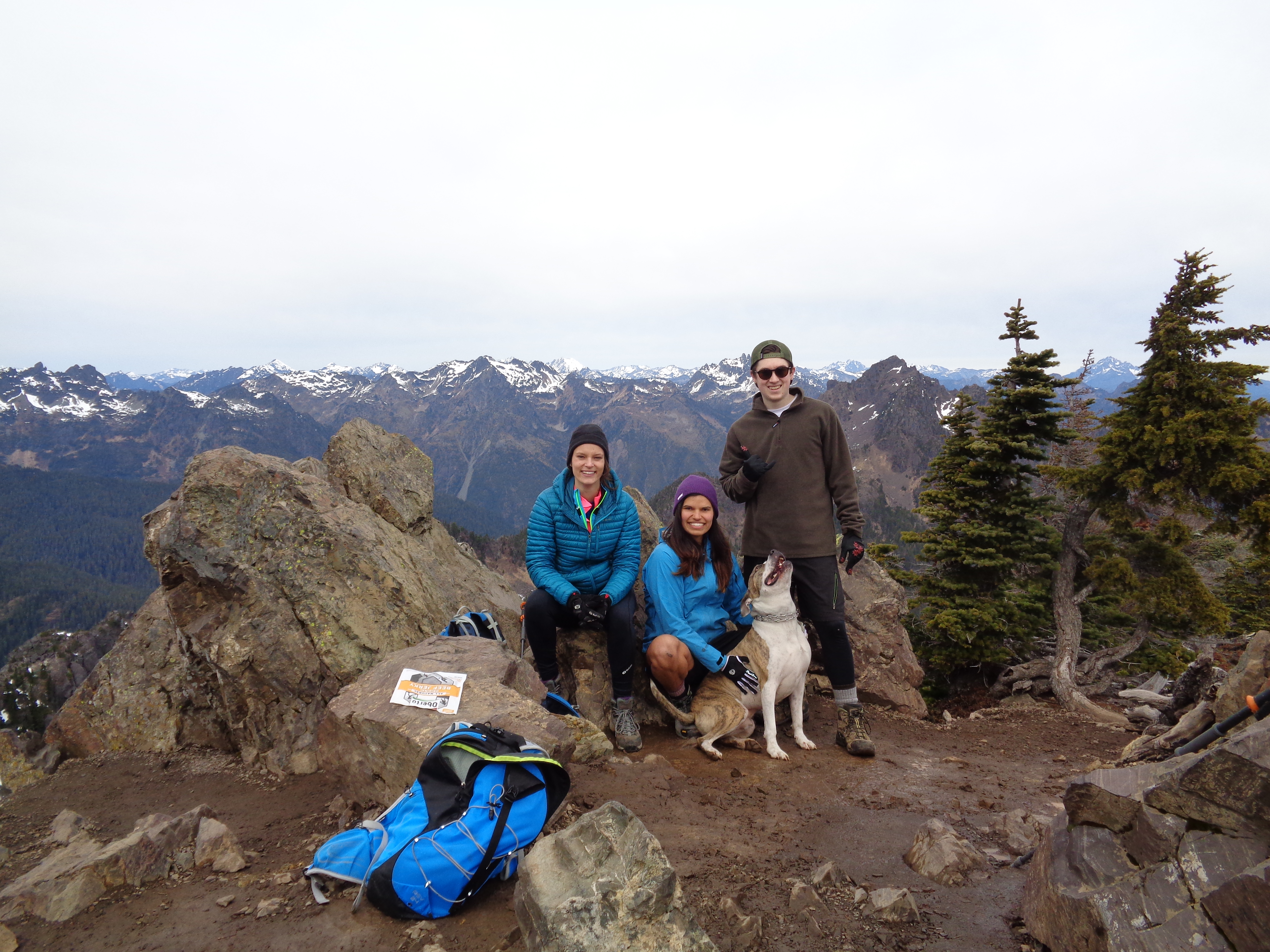
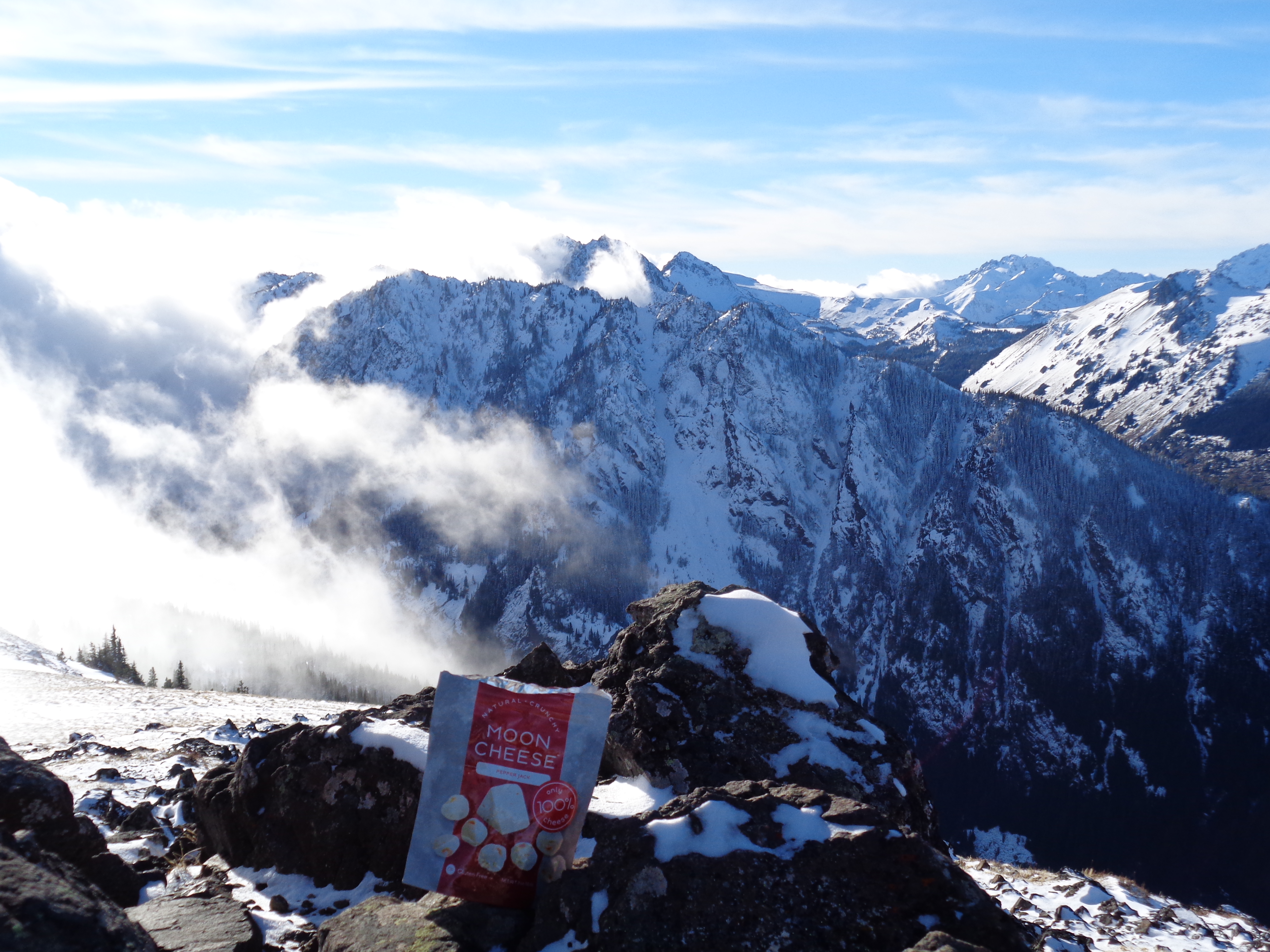
The summit was a party! Lots of people. Jamie and I sat down and immediately started eating. No words. I thought I would eat like 3 pancakes but I ended up eating all 8. AJ crested as we were snacking and started laughing. Apparently Jamie’s default state is snacking. It makes sense, she’s wicked fast and that speed has to be powered by something. Seems to be some combo of bird food and jalapeno potato chips. My default state of being is wanting a burger. Or mac n cheese.
We snapped photos, I did my whole dental hygiene routine for my stupid invisalign, and we started back down. Need to start getting action shots of tooth brushing so I can make a list of the 10 most scenic places in WA to brush your teeth. Our ride to the trailhead announced he was headed down and would be happy to shuttle anyone who needed it back past the snow to our cars, so that meant it was time for us to head down too. Even though we knew he’d probably beat us back. We did pass two skiiers and I was maybe 4/10 jealous.
The first two slopes went quickly, and soon enough we were back at the top of the chute. AJ went first followed by Jamie followed by me, agreeing to spread out a bit so if one of us wiped out we wouldn’t take the others out with us. And soon enough, AJ wiped out. In slow motion. Extremely slow motion. Sliding off into the distance, seemingly resigned to his mildly controlled slide. The main threat was a tree which he dodged. Soon I couldn’t see him over a knoll in front of me. I looked at Jamie. It felt like it had been two minutes of silence. “Is he… is he still going?” “Yep.” He’s shouting IT’S FINE I’M FINE and we see him come to a stop some 150ft below us. He popped up and reiterated he was totally fine. Well he’s in one piece, that’s good, we’ll see how he feels in 20 minutes when we’re finally down to him. He took the efficient route.

We caught up to him after some careful side stepping (impossible to plunge step because of that damn blue ice). My envy of the skiiers jumped to 6/10. And then it was alternating glissading with more side stepping. Another party glissaded by us shouting “LIFE PRO TIP NEVER GLISSADE IN CRAMPONS” as their disclaimer for glissading in crampons. (EDIT: I later learned this was an unintentional glissade! He was not the only one!) We soon hopped in his glissade track to follow, and we were back at the base of the chute switching from crampons back to microspikes. I swear the chute was longer going down than going up.
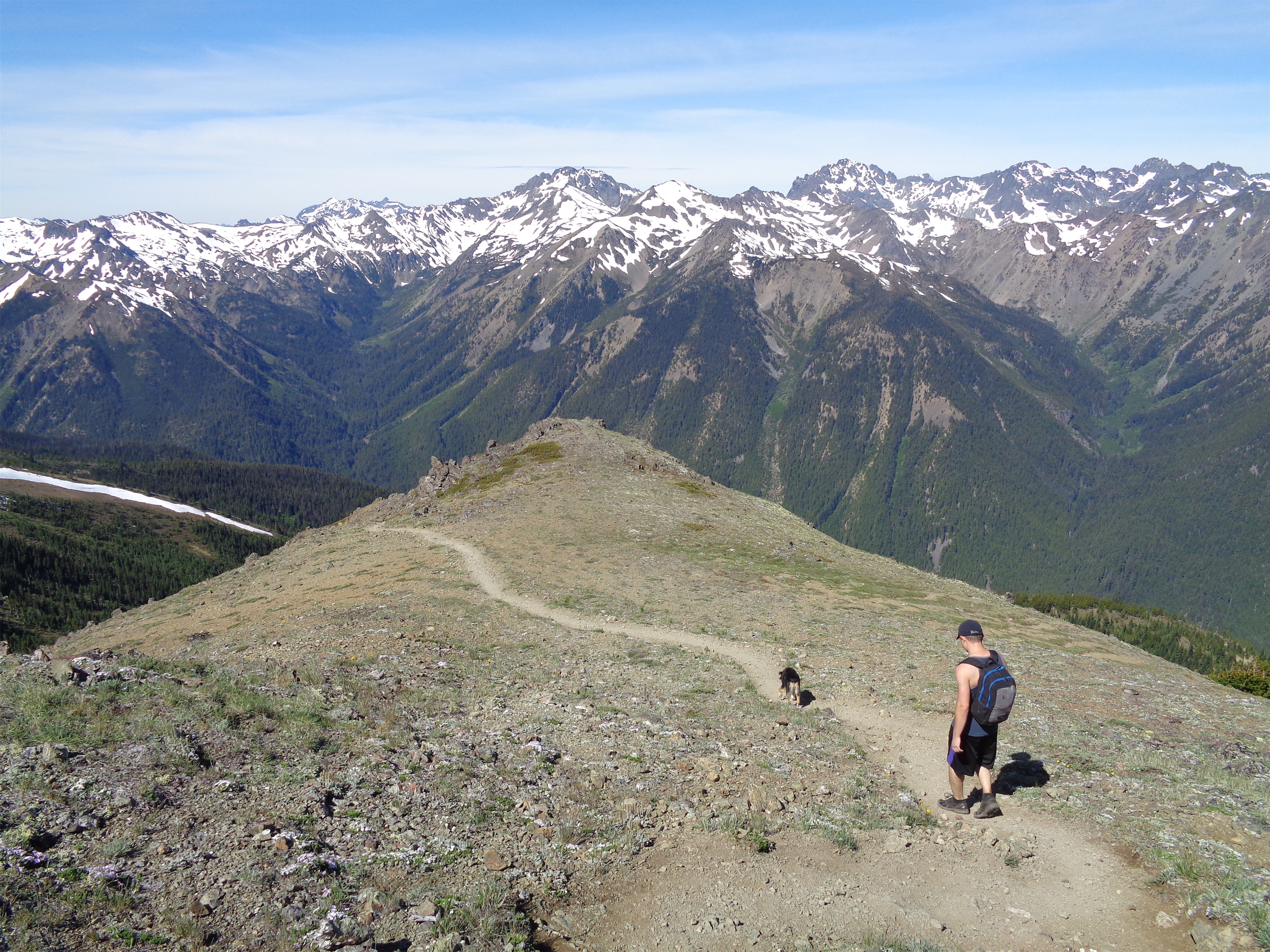
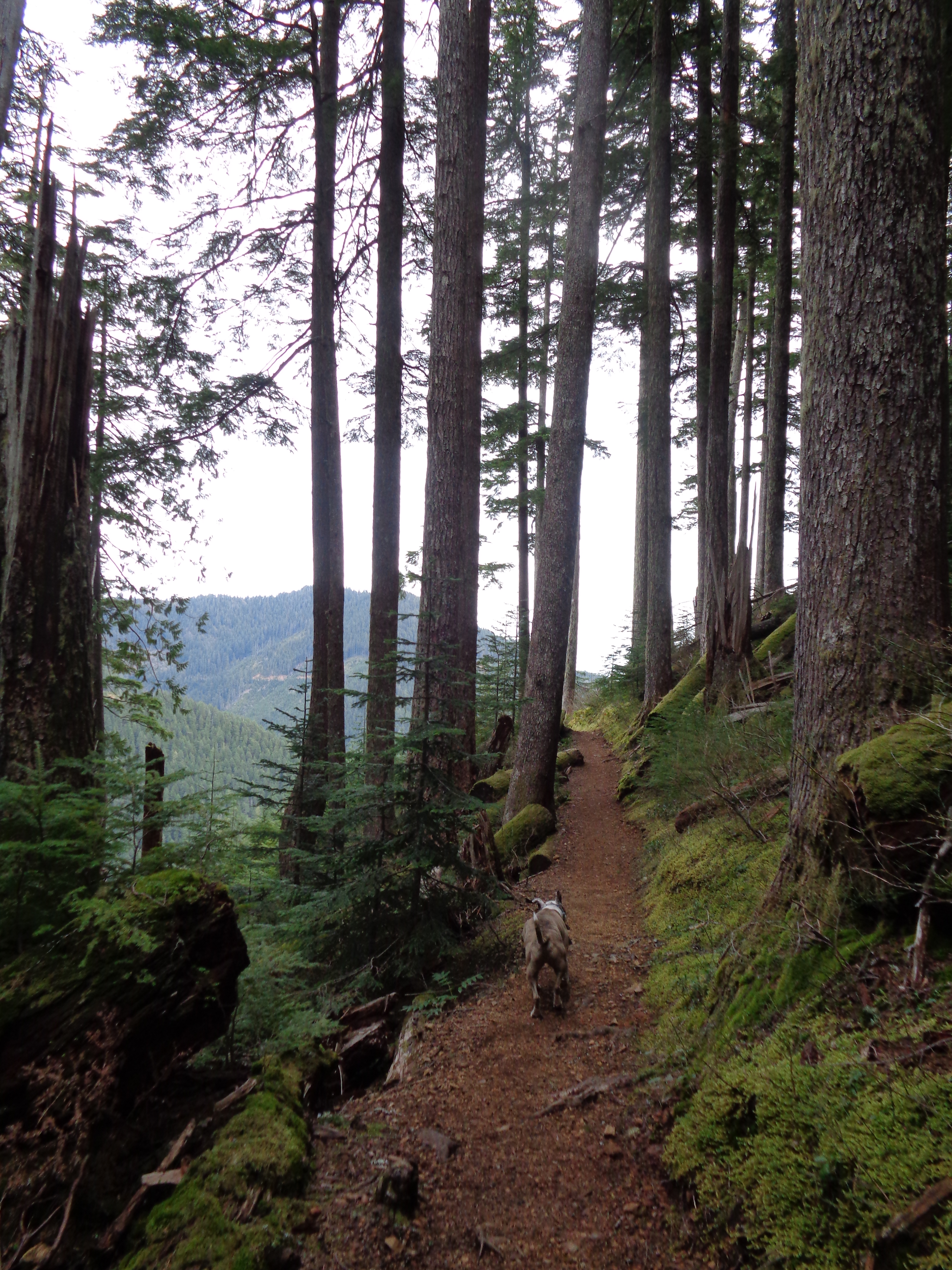
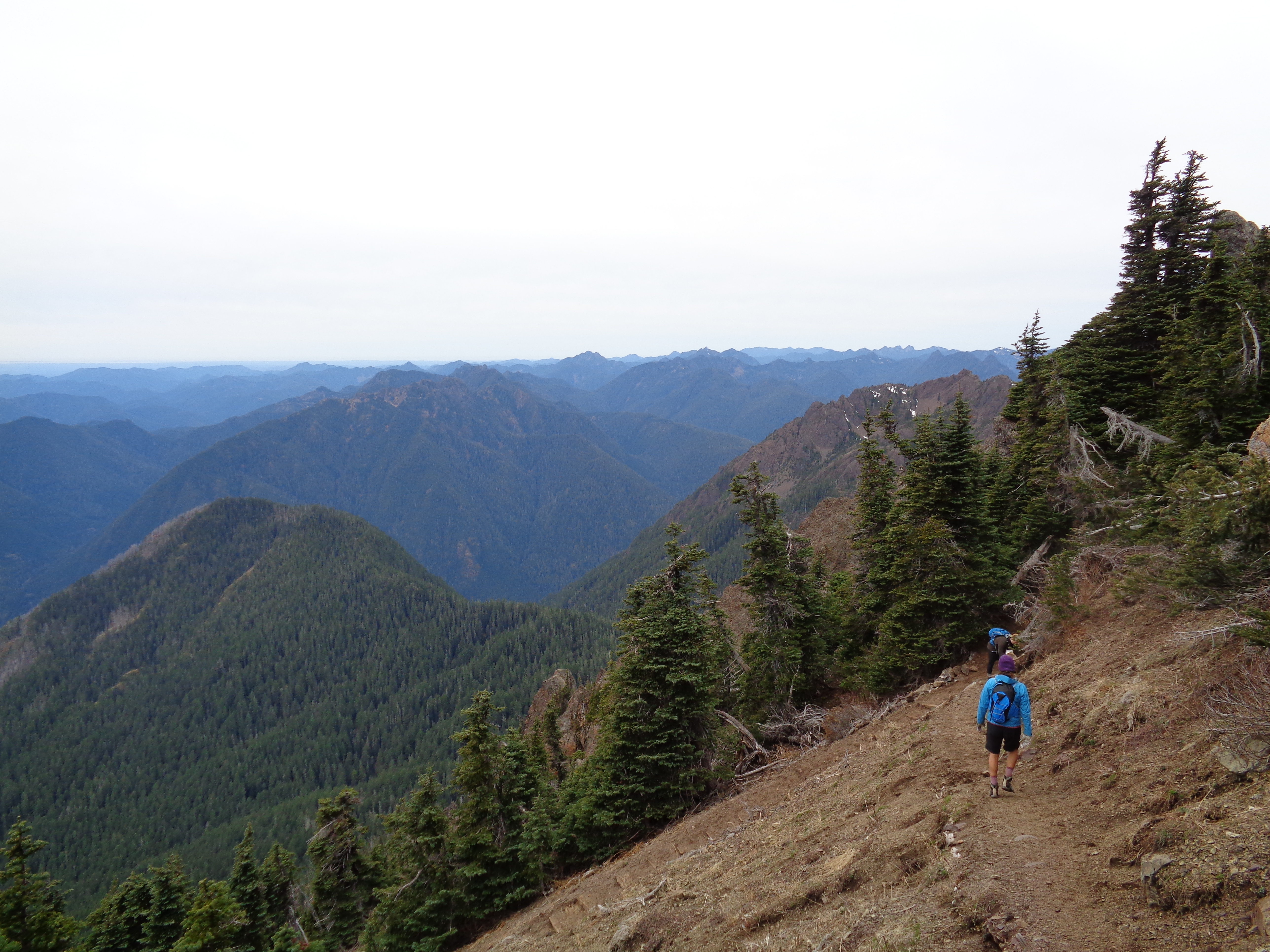
We headed back through the trees in dappled sunlight, back through the green forest. This hike has such clear sections. Road walk, forest, chute, basin, ramps to summit, each with its own character. We leapfrogged one of the other groups that had come up from an even lower trailhead (there’s the upper trailhead, the lower trailhead, and an even lower trailhead by the Big Creek campground). We went our separate ways when the trail split, and it was just us cruising back to the traditional lower trailhead. AJ pointed out we parallelled the road for like a mile on the trail. He is right.

When we got back to bare road, our good samaritan pickup driver was long gone. I was hoping we weren’t that far behind him, but walking another mile wasn’t the worst. It was sunny, we had good company, what’s another 20min of trekking.
Back at the car, we celebrated how ridiculously smooth the hike had been, laughed and debriefed on AJ’s slide, and decided we were definitely stopping at the burger place on the way back. In Hoodsport. I think it’s just called Burger Stand. But it’s run by this lone asian guy with awesome options like a bulgogi burger, a hawaiian burger, a kimchi burger… I got the hawaiian burger (basically a burger with grilled pineapple) with jalapeno added, and it was insanely delicious. HEAR ME OUT this isn’t like hawaiian pizza. It’s more like having a slice of pineapple on a taco. Like the tacos at Tacos Chukis. If you like those, you definitely need to try this burger. And if you don’t like those tacos… fight me, you have no taste.
We made it back to Tacoma in time for AJ to get to work (starting at 7pm!) and in time for Jamie and I to hit traffic heading back north. I thought I could be clever and skirt i5 but it uh didn’t go as planned and I got lost but I think I experienced the “tacoma smell” for the first time so that counts for something?
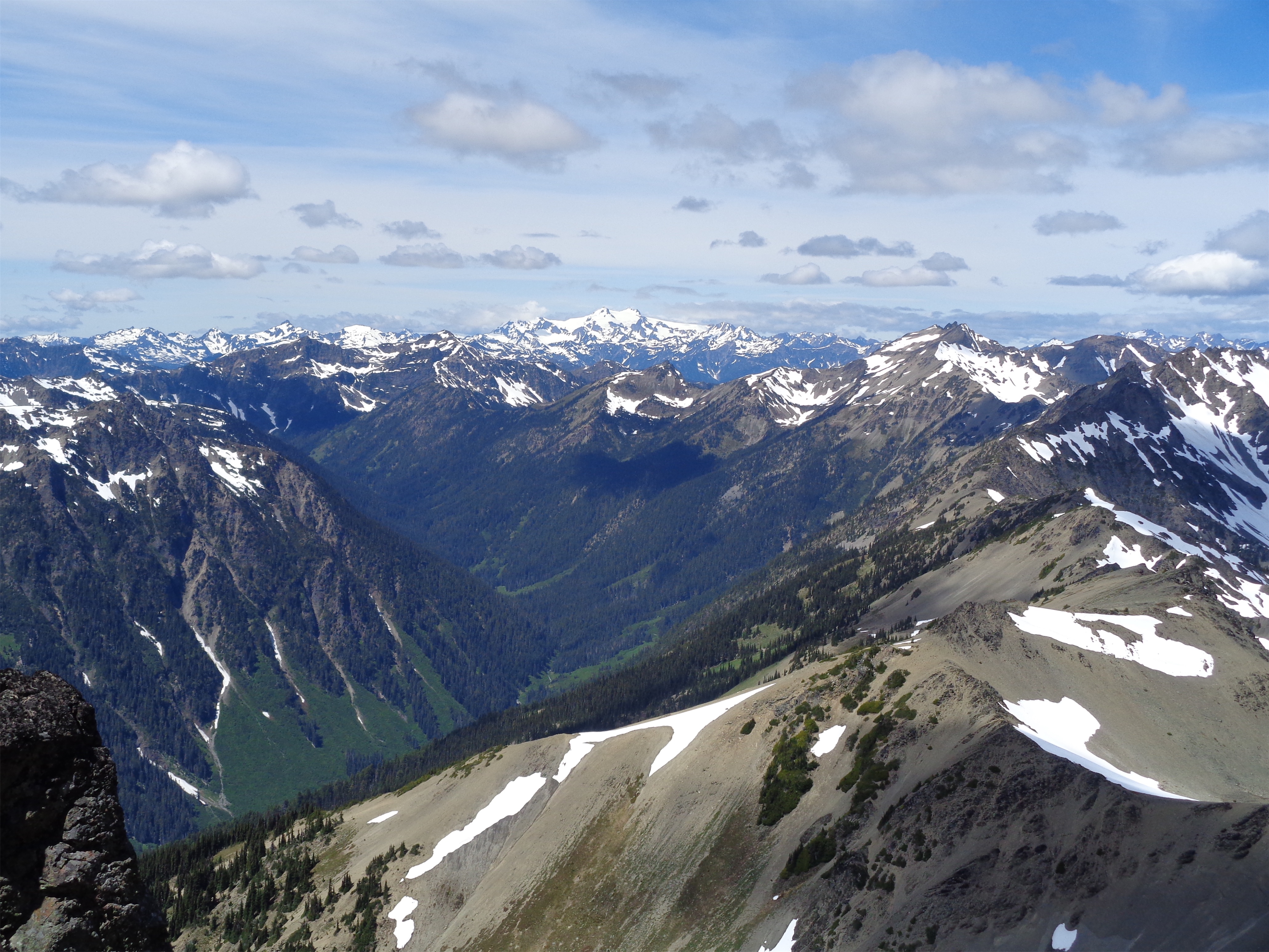
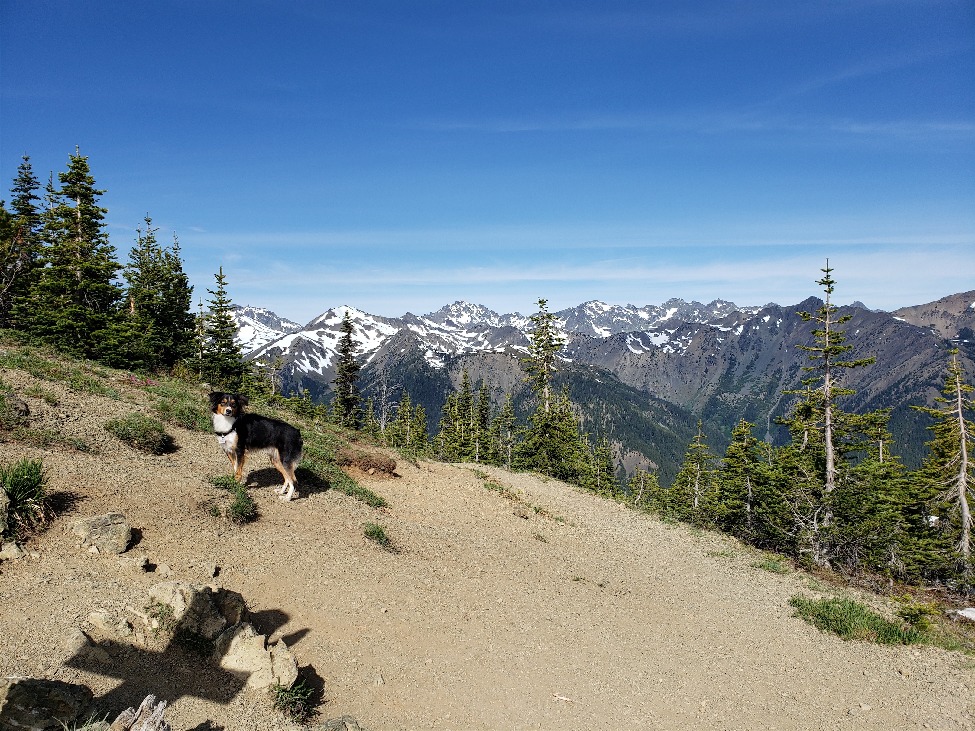
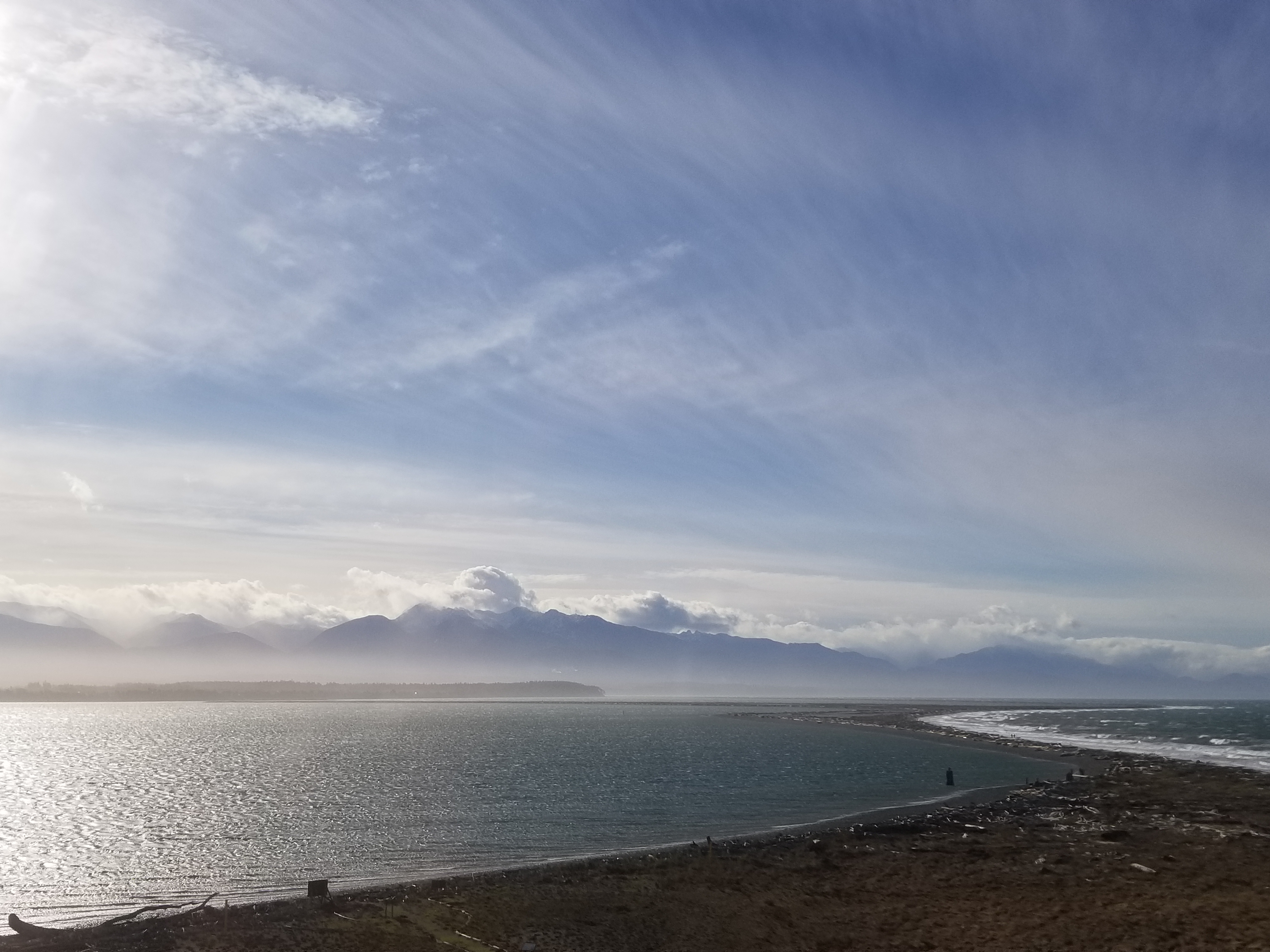
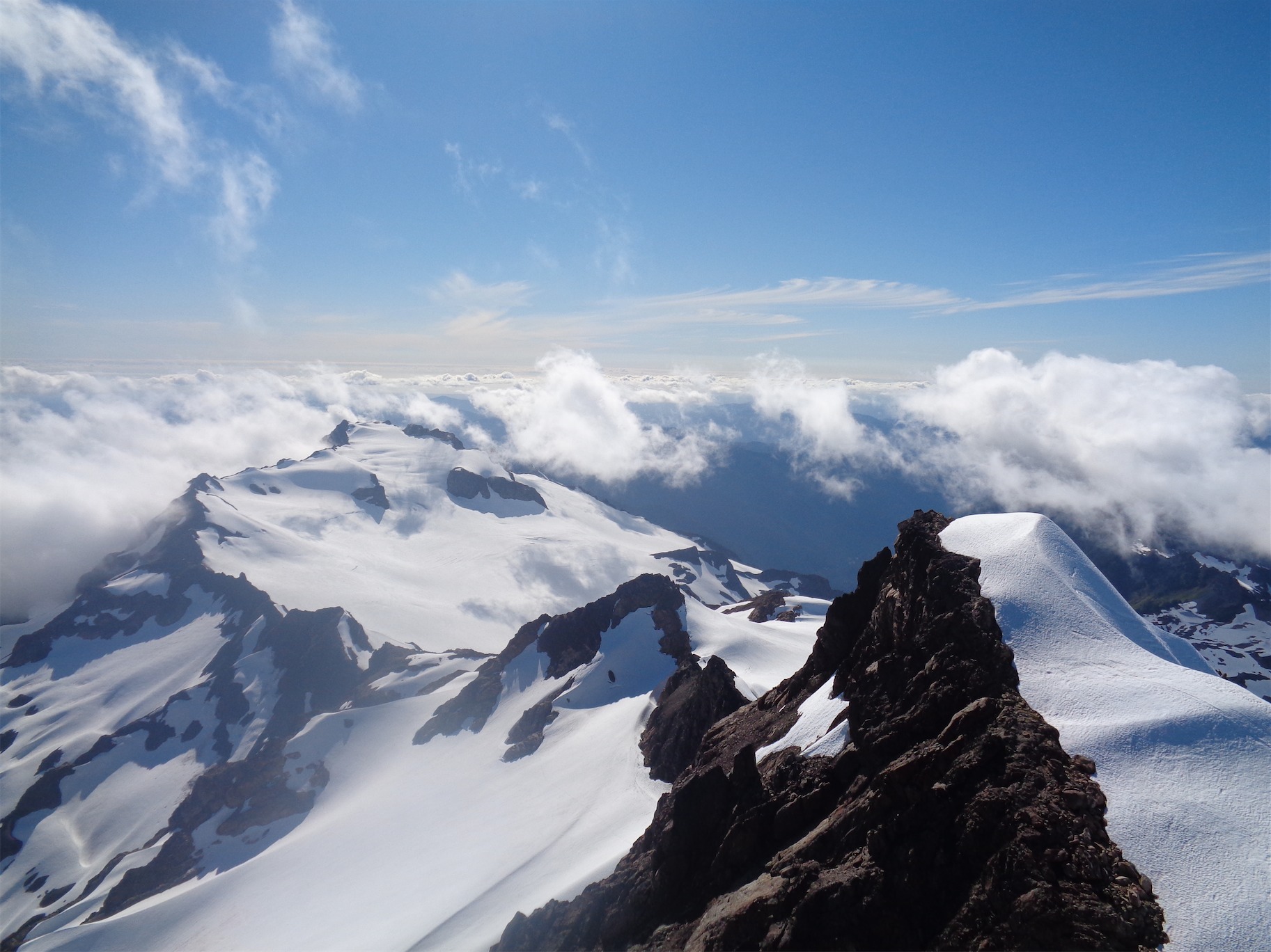
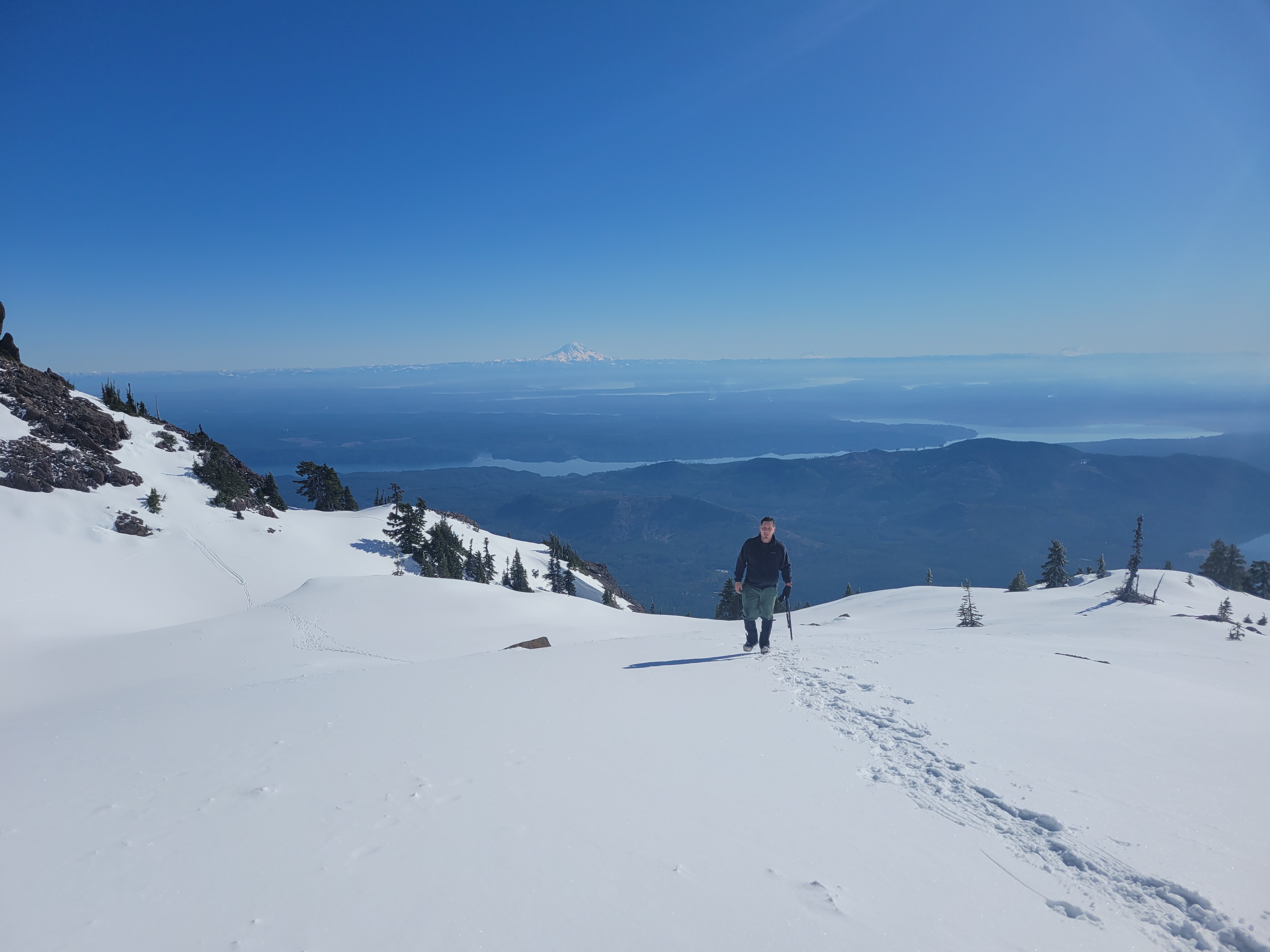
Awesome company, awesome peak, highly recommend Ellinor in winter. It’s a huge bang-for-your-buck destination in the right conditions. I looked back at my 2015 trip report and it was pretty cloudy, glad I got to experience the full scenery. I think we saw all five major volcanoes – Baker, Glacier, Rainier, Adams, St. Helens. No Hood though. And here’s to hoping we get out on a few more adventures together!! I swear I’ll bring better snacks to share in the future. Actually the pancakes were good snacks I just wasn’t up to sharing, apparently. So I’ll be more.. generous in the future.