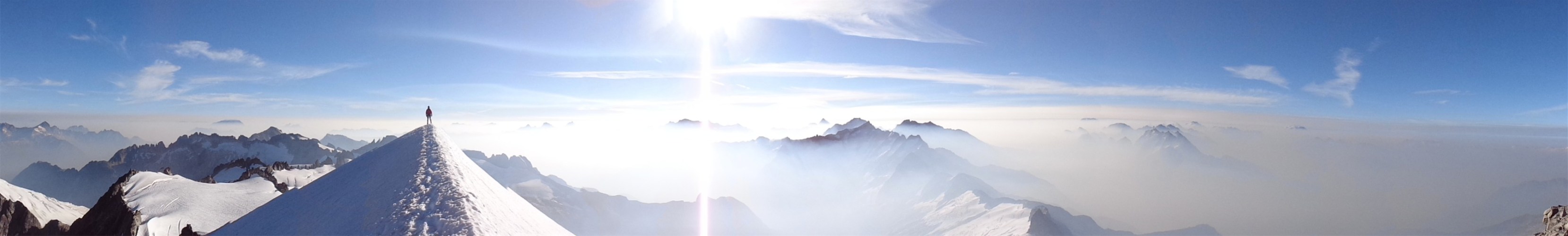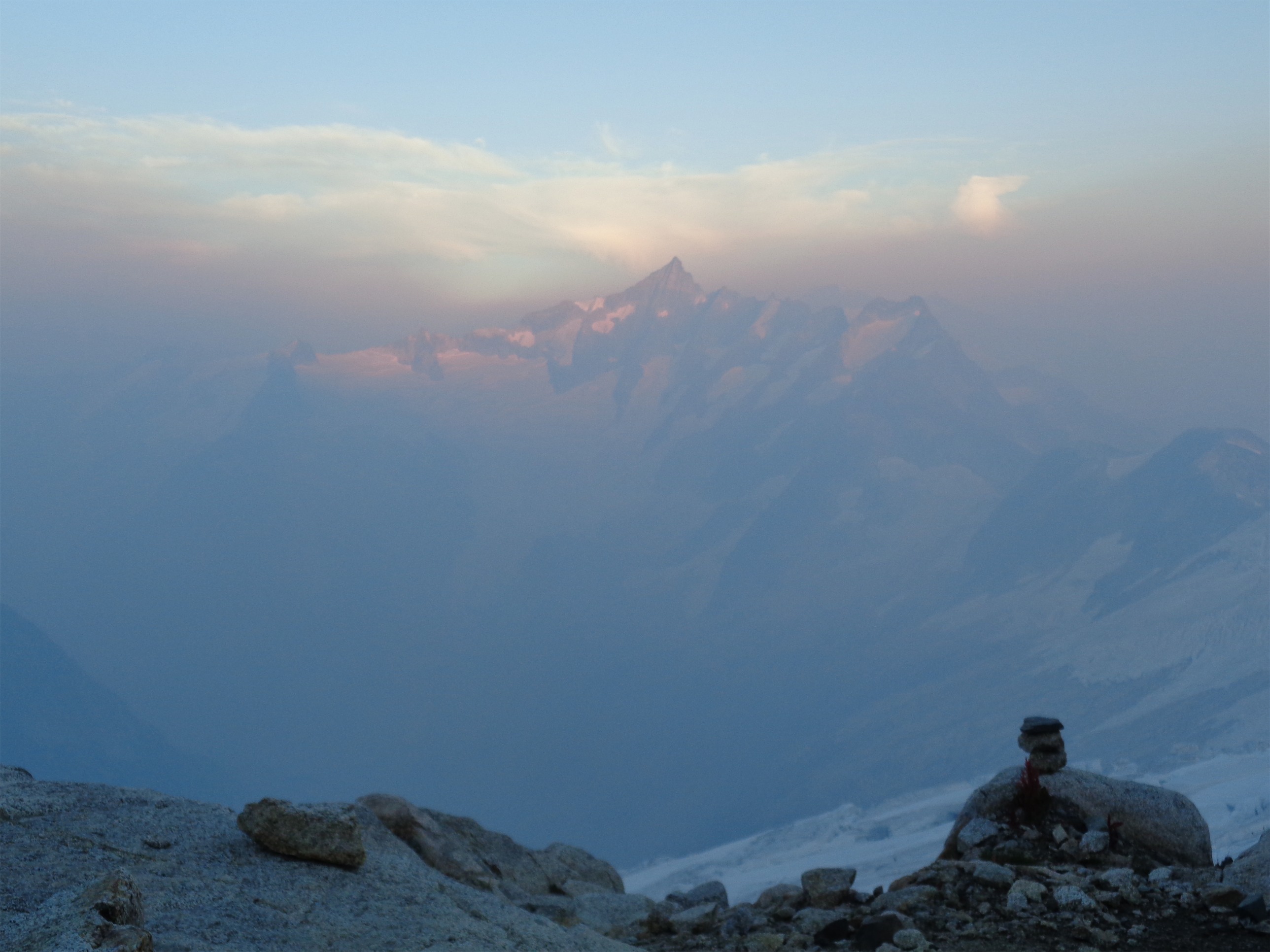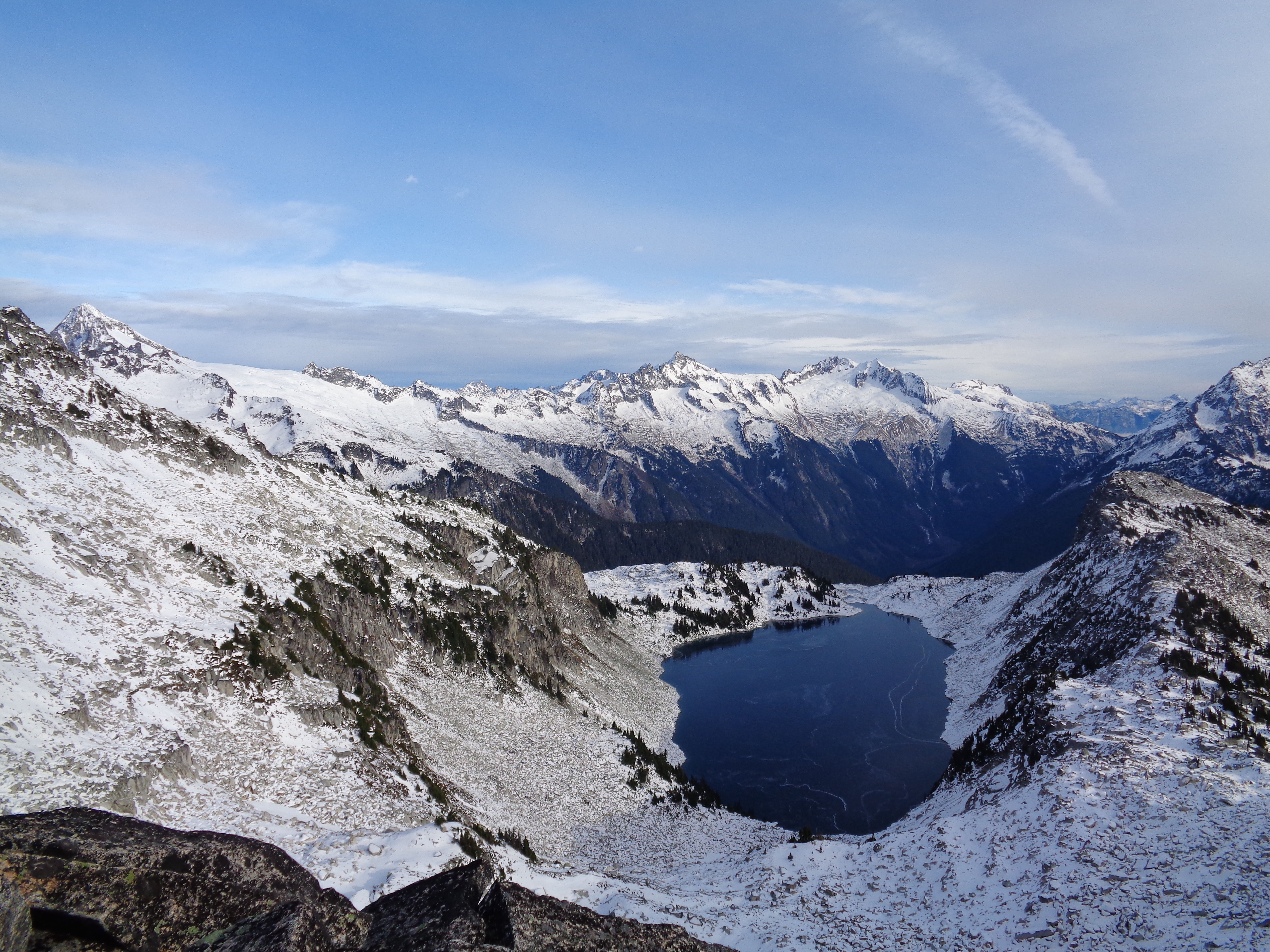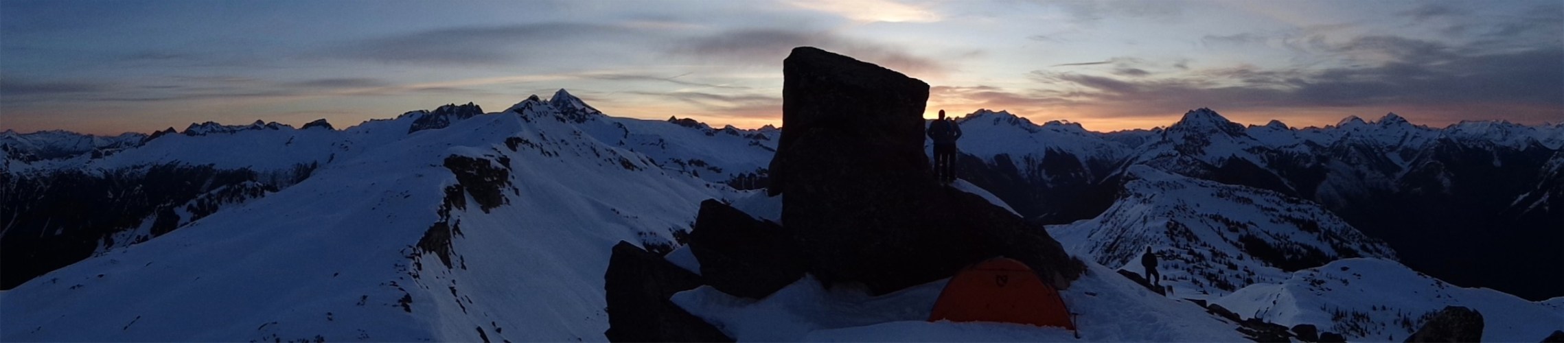
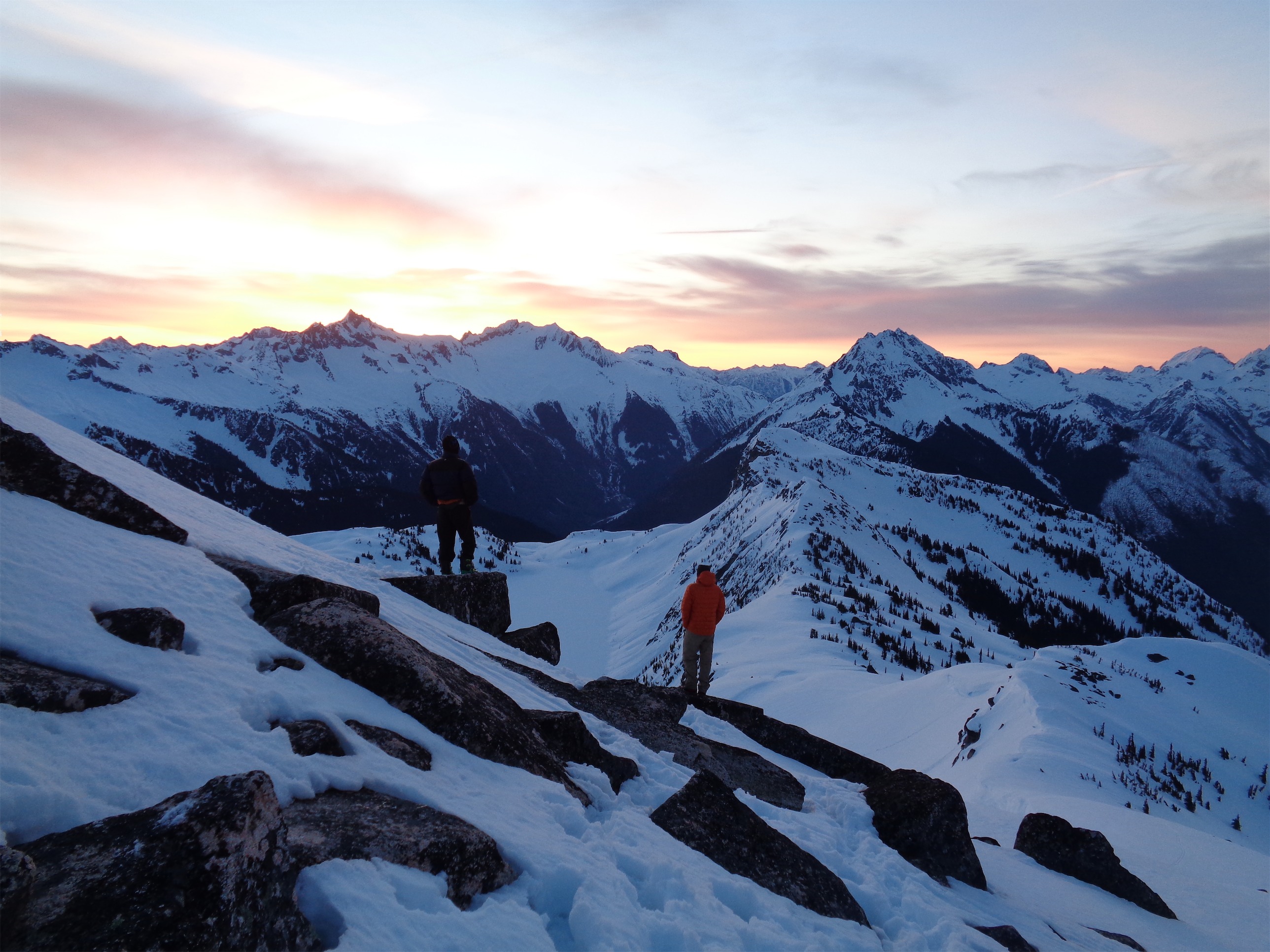
Hidden Lake just after sunset. True summit on left, Sahale and Boston center, Johannesburg on the right
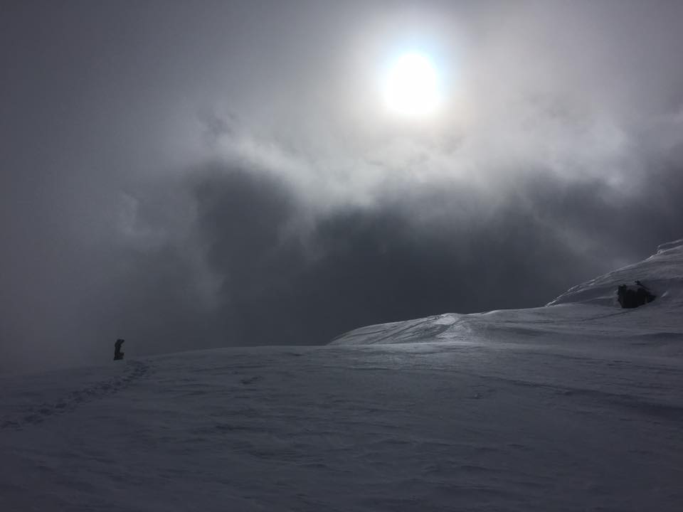
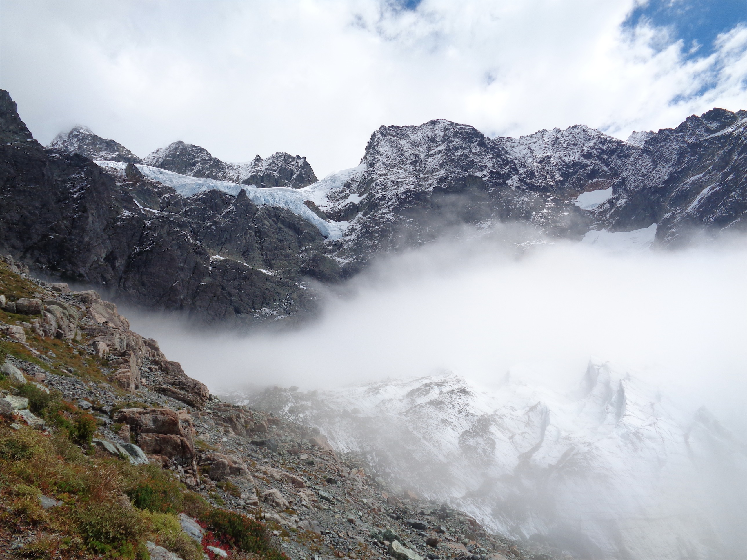
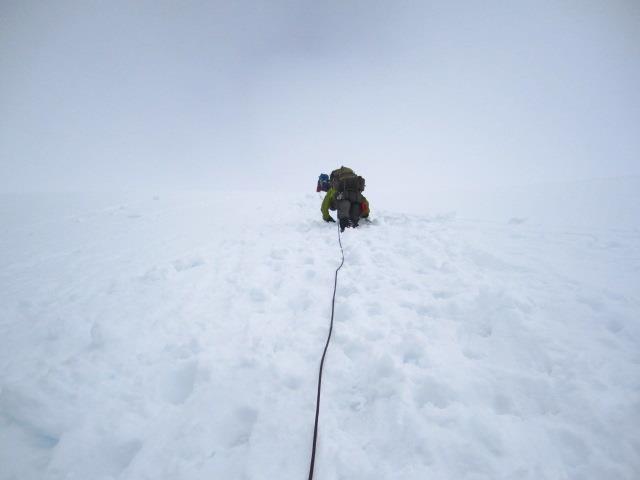
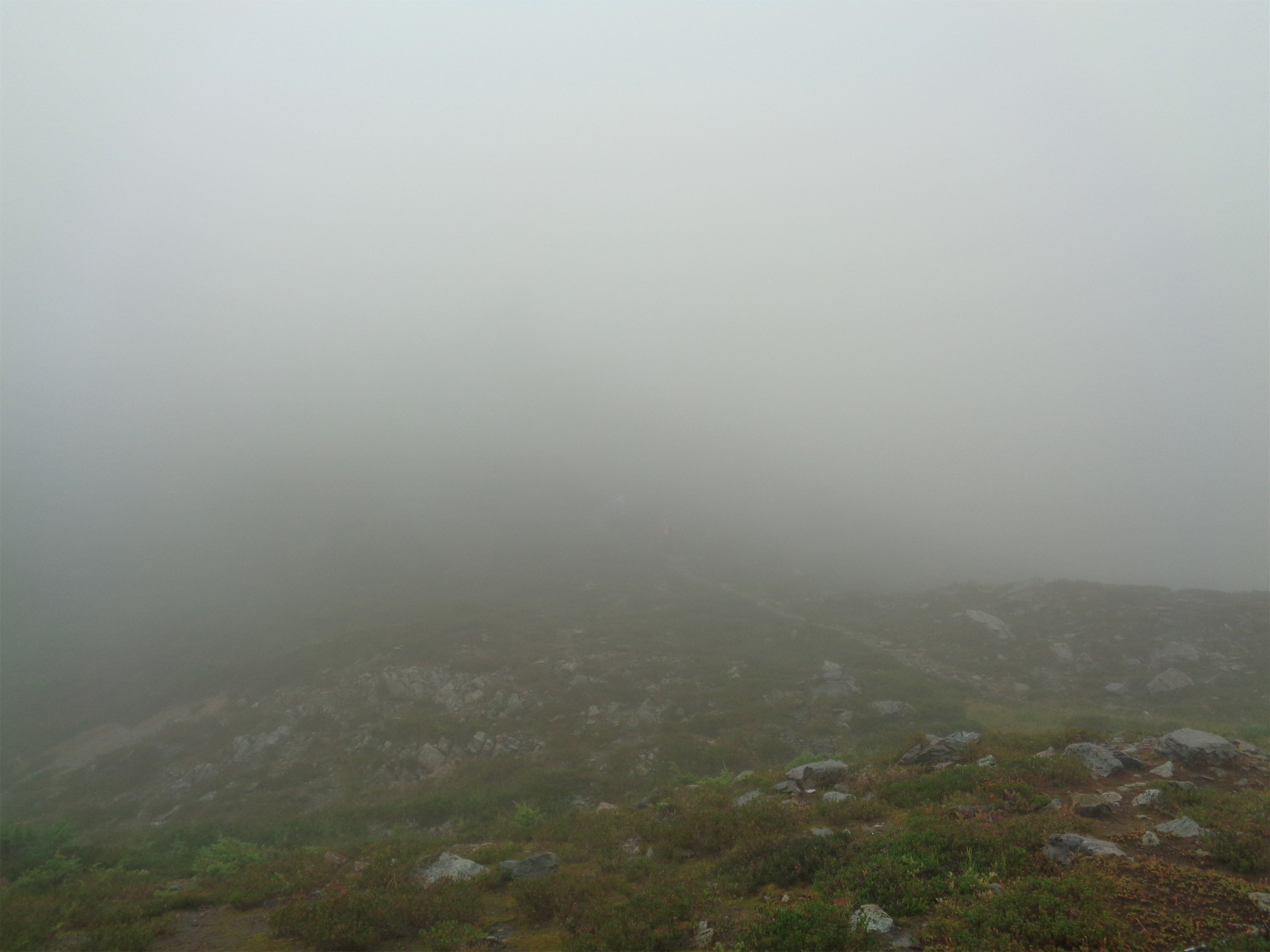
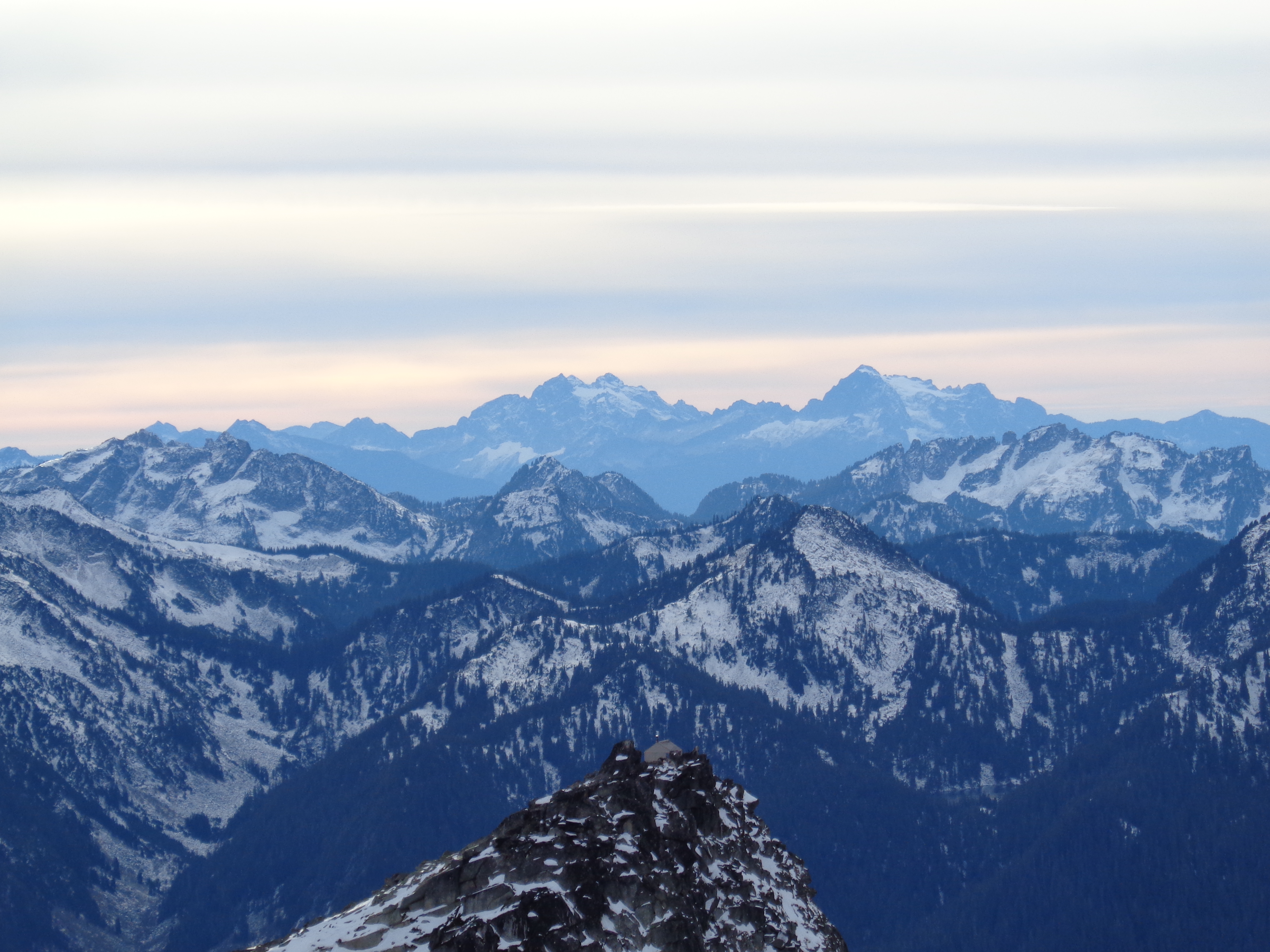
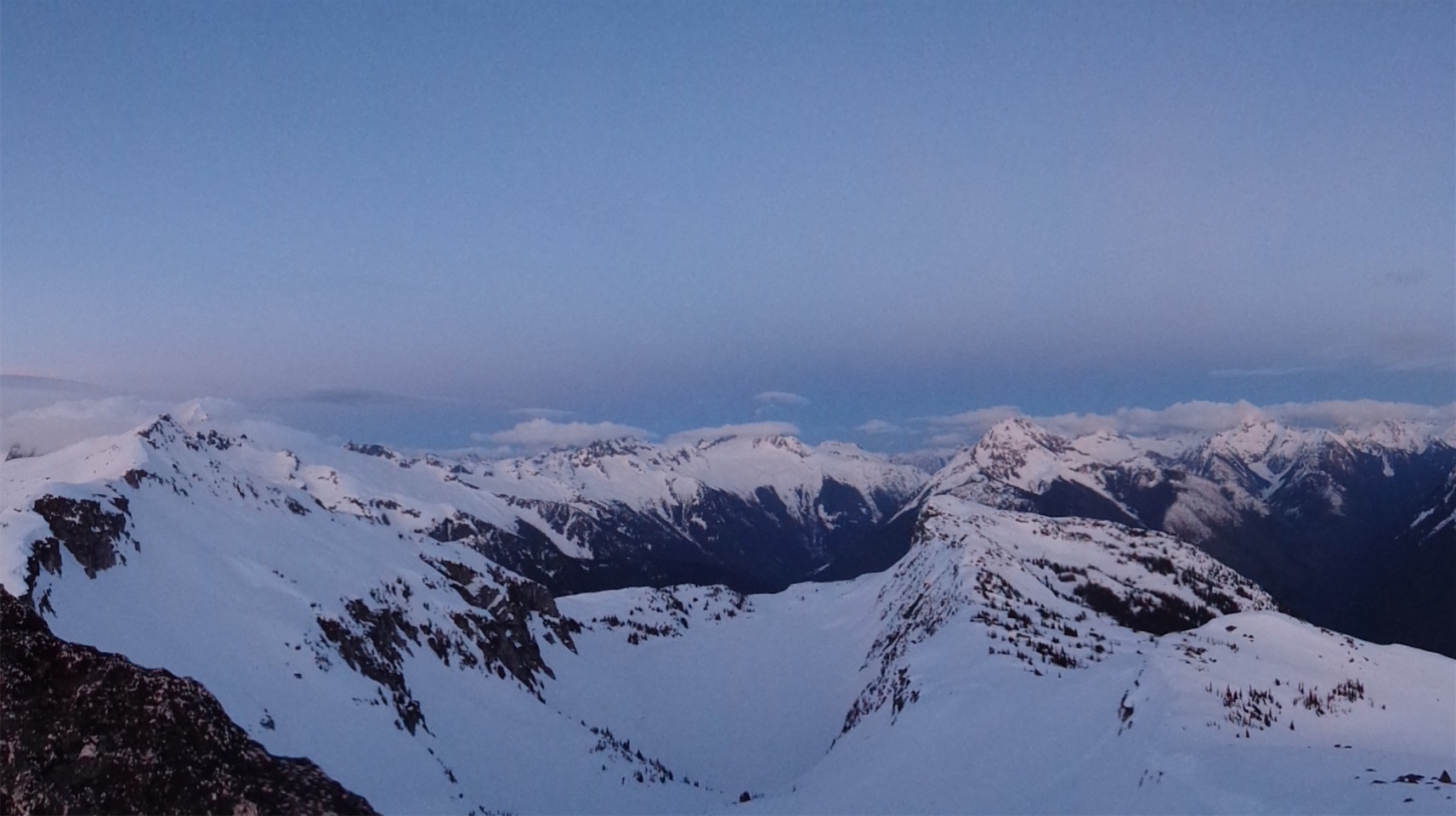
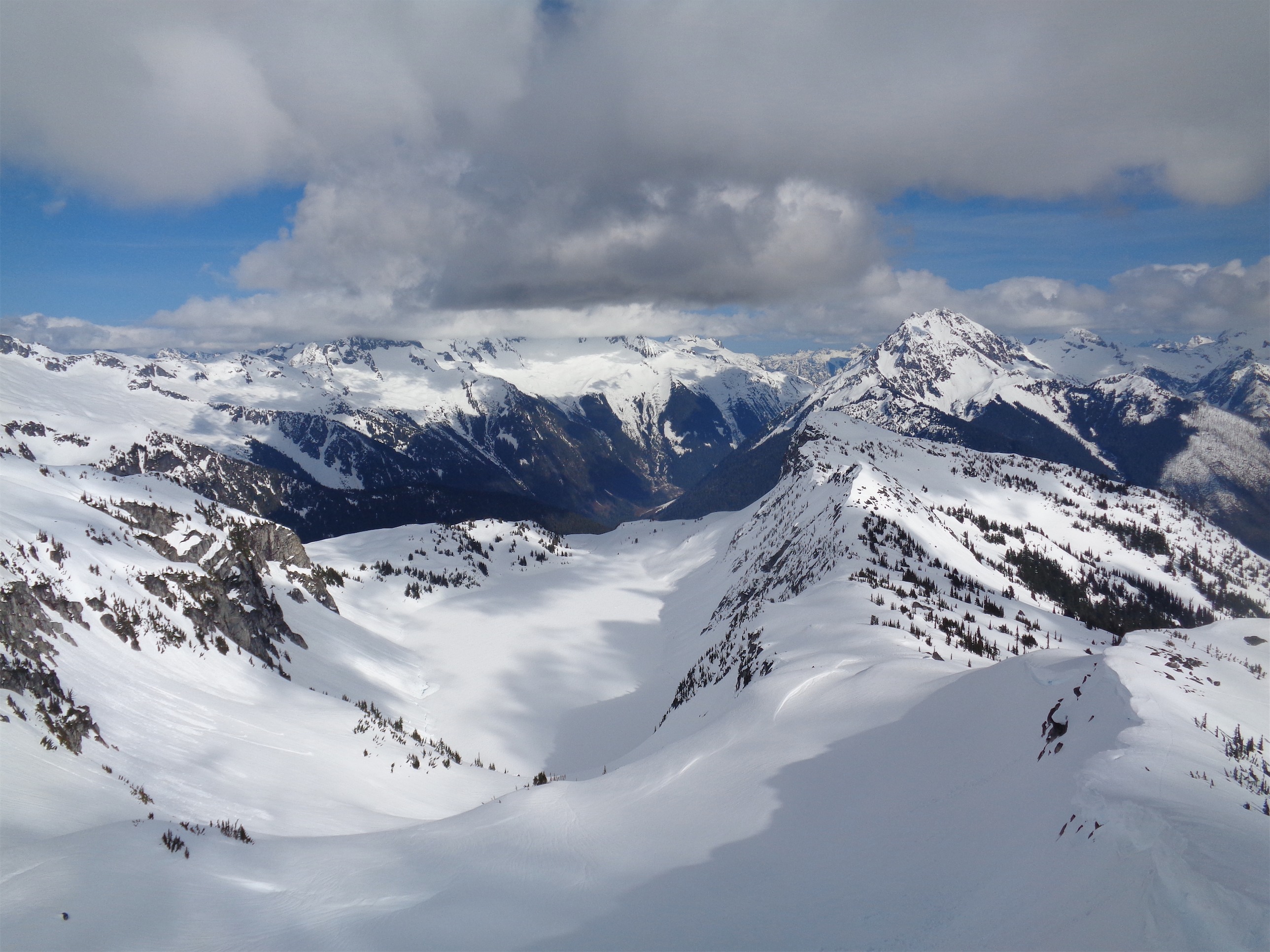
Clouds moving in and out along the ridge (Photo credit: Kacie)
- Distance: 11 miles
- Elevation: 4200ft gain to the true summit
- Weather: 40’s and cloudy, teens overnight, 40’s and sunny
- Commute from Seattle: 2:30
- Did I Trip: I postholed, I slipped, nothing epic unfortunately. Dave had a full body posthole. The joys of snow covered boulder fields. Tony wiped out on his skis but no one saw. We only know because he lost his ski crampons. Sneaky bastard.
- GPX files here (summer trail to ridge and true summit and lookout) and here (direct ridge from road to lookout). Both are dropbox, let me know if you’d like an old school map of if the link gives you issues.
I got to the trailhead around 11pm. Well, to where the road became impassable due to snow, at least, which was about 2 miles from the trailhead. Tony’s bright yellow FJ was parked and so was Dave’s truck, so I pulled over, pitched the tent, and got cozy. I didn’t sleep, because I was anxiously awaiting the arrival of Quinn and Kacie. The other three had left for the lookout Friday morning, and were already up there.
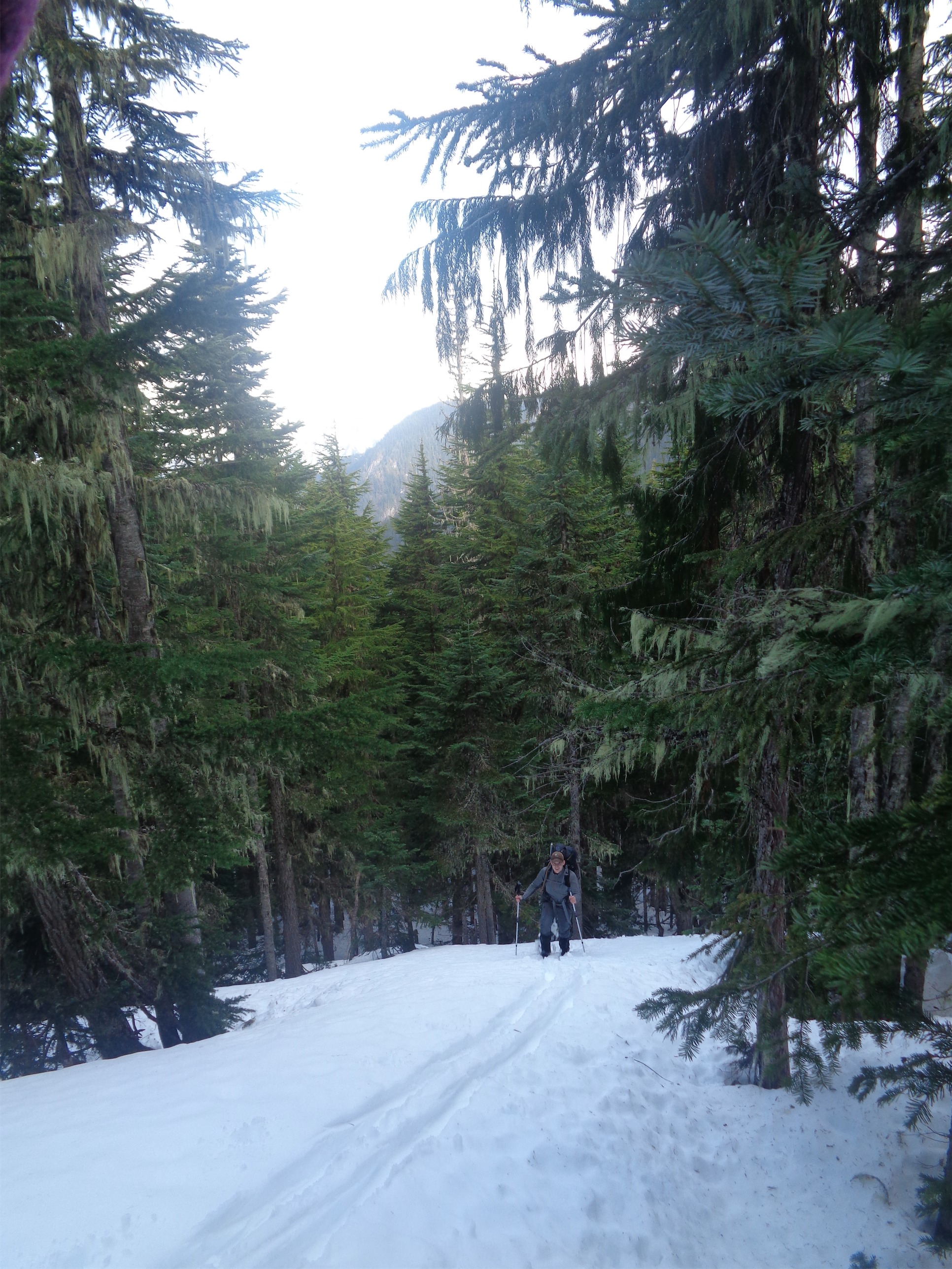
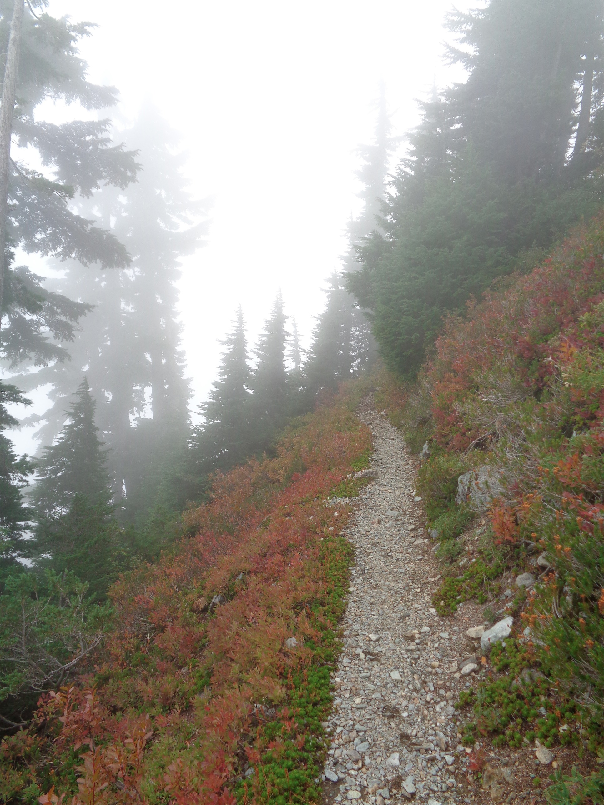
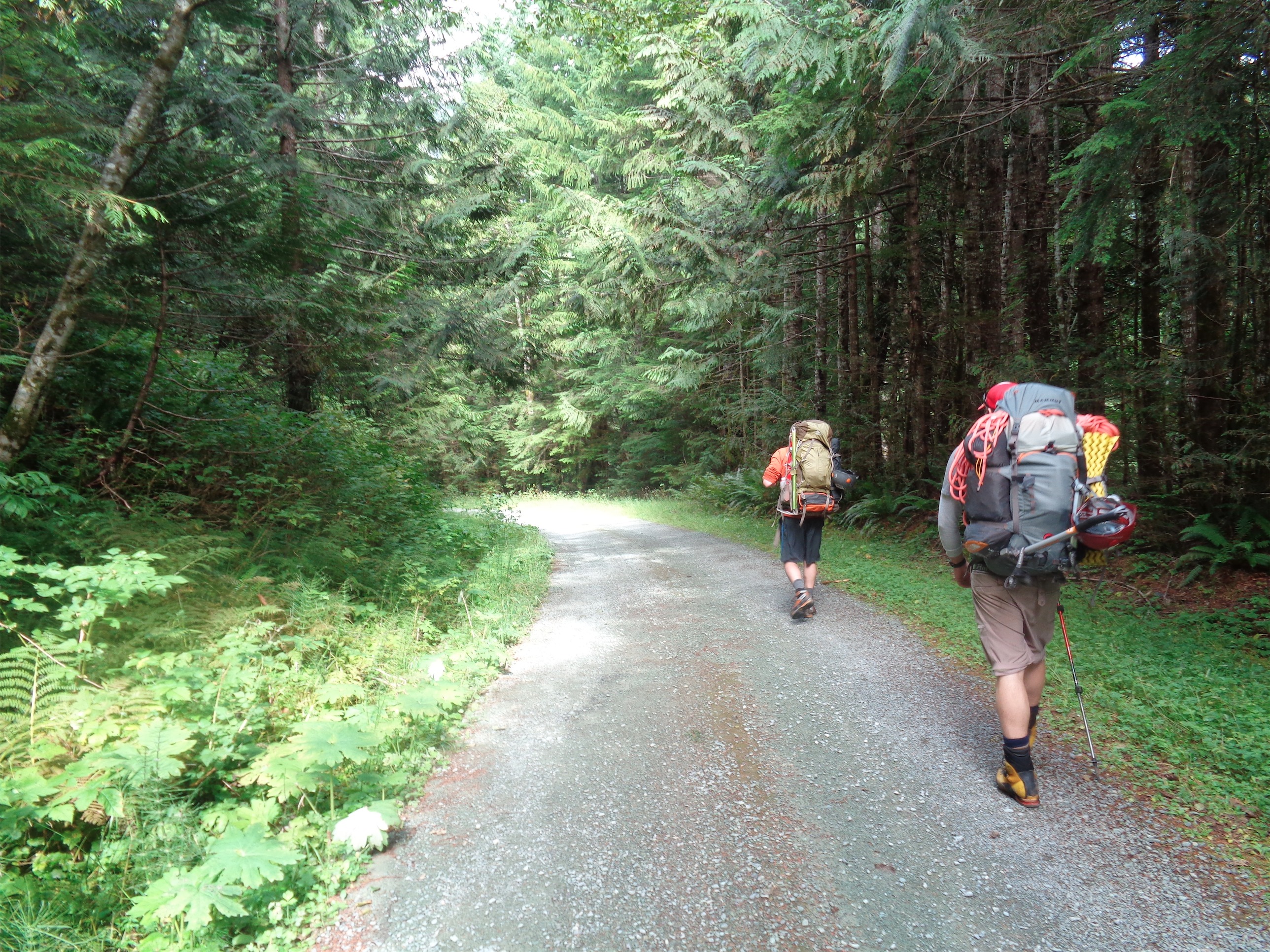
Hiking up the road to the trailhead
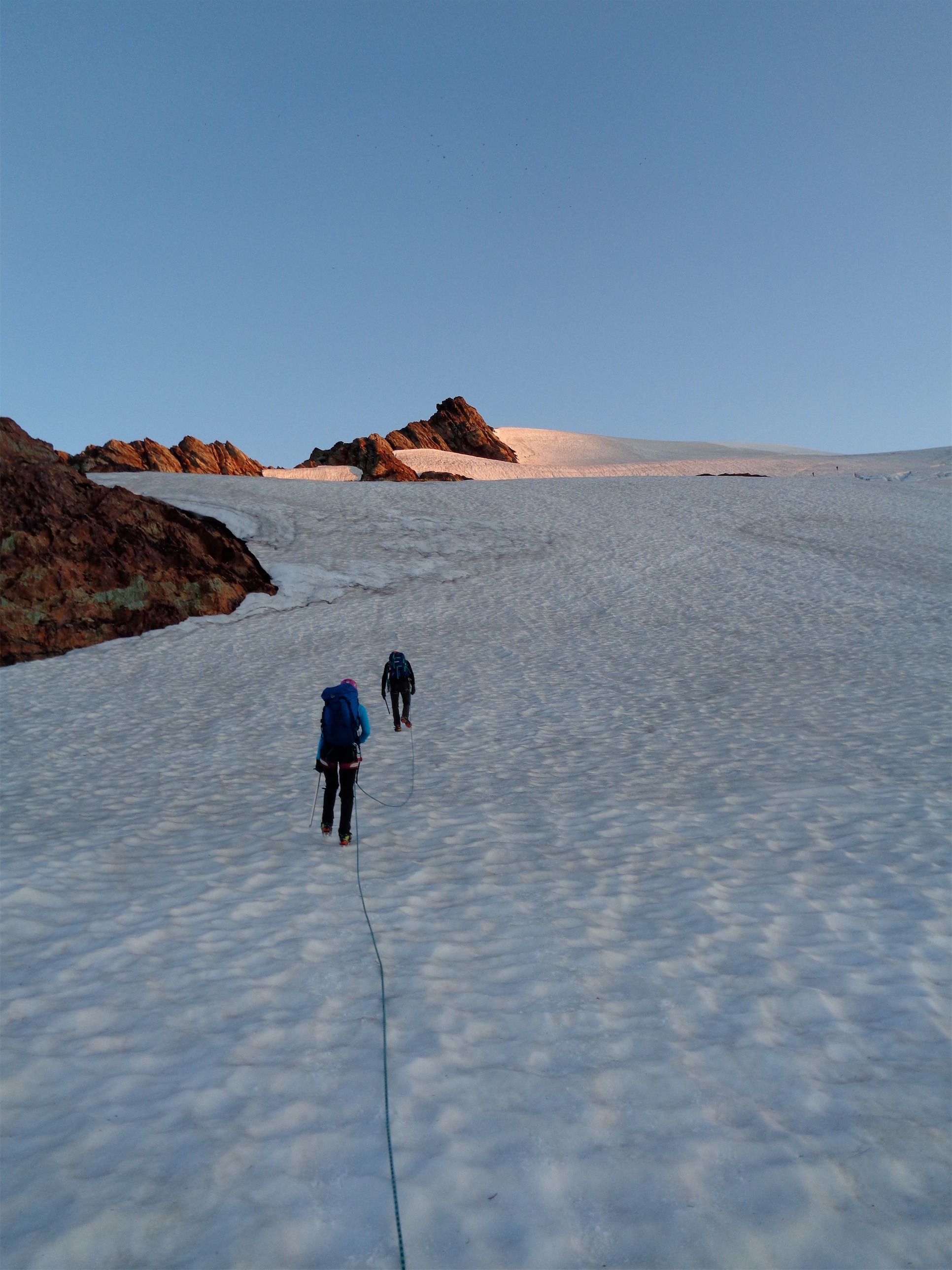
Quinn and Kacie got to the trailhead at 3am, because who needs sleep. They napped (or tried to) for two hours, and we got up and had a snack and were moving by 6am. We had a feeling that the other group might have just gone straight into the forest from the cars (at the switchback on the dirt road around ~3000ft) since I had sent them a map detailing such but frankly it looked like a pain in the ass and I’m lazy, so I figured we’d take the winter route I knew.We headed a quarter mile or so up the summer trail (which was a brutal, postholing, snow-bridge-collapsing endeavor) and left the trail at 4000ft to head south-southeast-ish (that’s an intercardinal direction, I swear). The snow in the forest was patchy, and the undergrowth slippery. I stared at a three foot tall mossy rock for a solid five minutes, knowing if I slipped with this pack on my back I’d be crabby about it. Kacie had a more in depth stare down with a tall log. I was happy to hit snow solid enough to kick steps, and Quinn broke trail for much of the way as Kacie lagged behind fighting a sleepy mental battle with herself (Tony nicknamed her “Night Rider” because her travel seems most efficient at night) and I tried to mediate between the two of them so we wouldn’t get too far apart. Prints are easy to follow in snow, but better safe than sorry.

Forest opening up
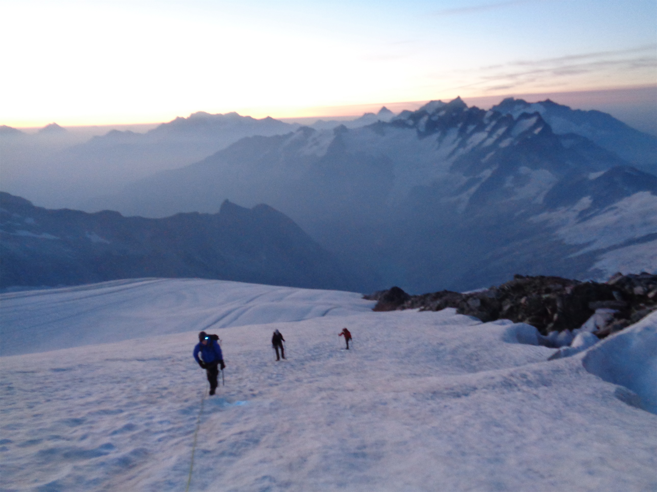
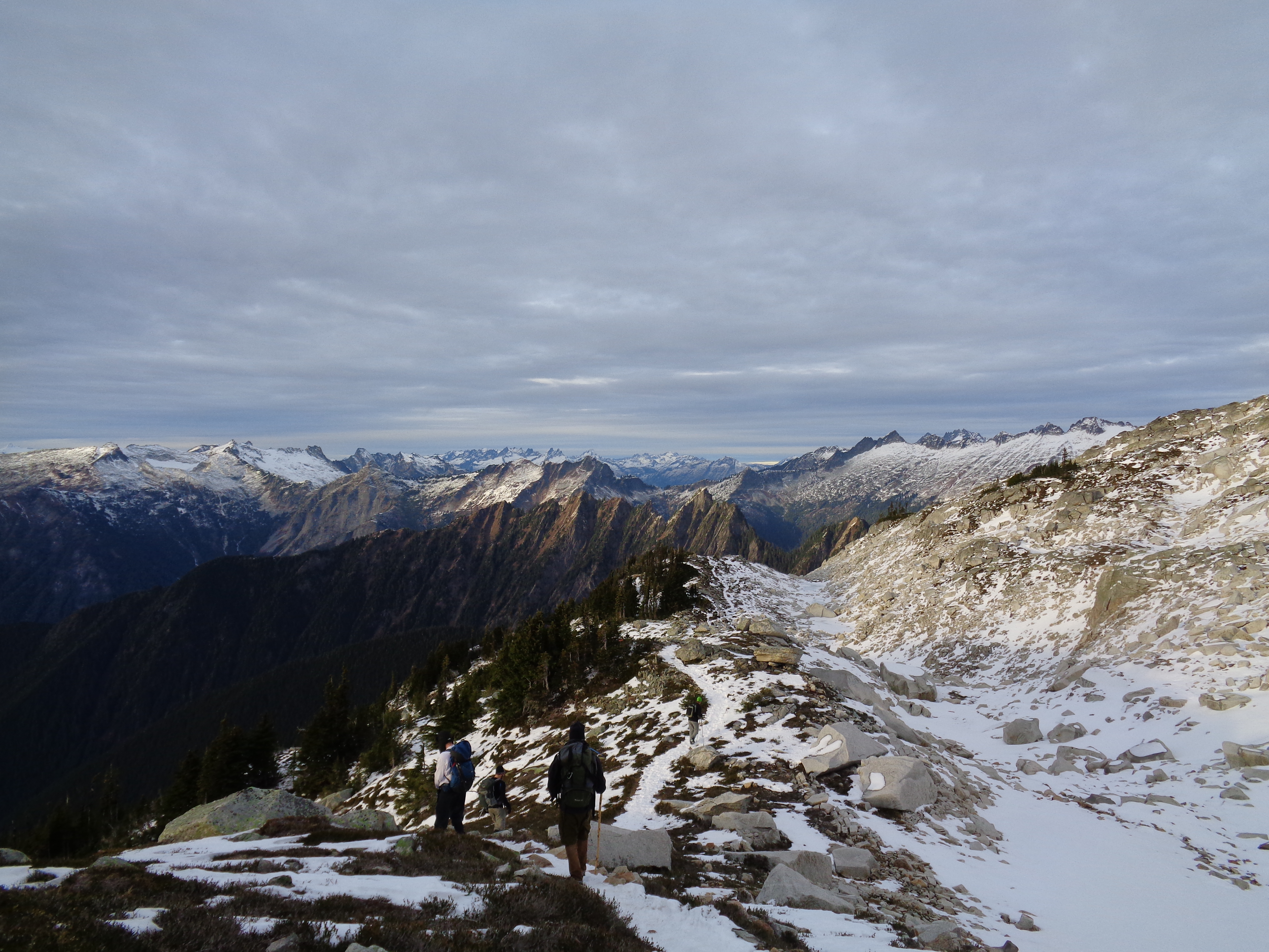
The most sustained steep section of the climb was in the forest. There was still avvy danger, but we lucked out with snow conditions. It got flat enough around 4400ft that I switched to skis and Kacie and Quinn strapped on their snowshoes. I took off on the skis, floating across powder and zigzagging through trees and around slopes. Sunrise was a mental boost (Kacie proclaimed so herself), and as usual I started to flip out when we started to get views. “Look at that RIDGE” “Look at that avalanche debris across the valley!!!” “GUYS turn around and look behind you when you get to this spot!” I’m surprised they didn’t want to punch me in the face as I pranced around them on skis. Tripping over half of my kick turns probably made them feel better.

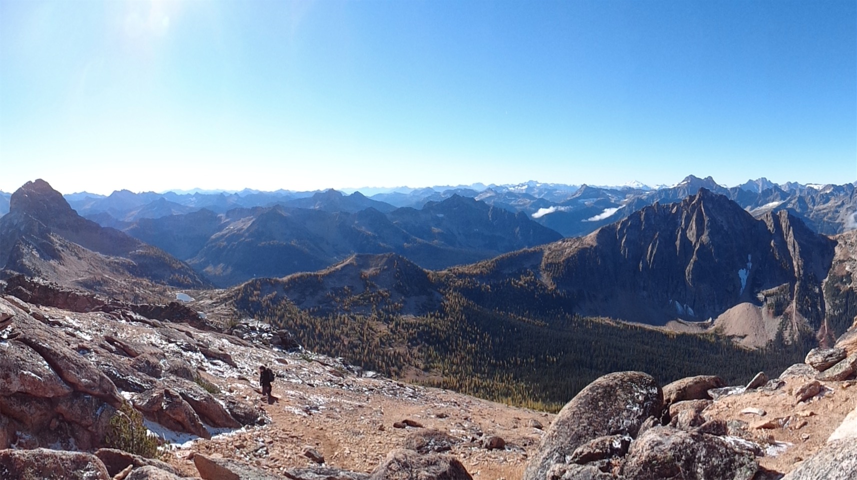
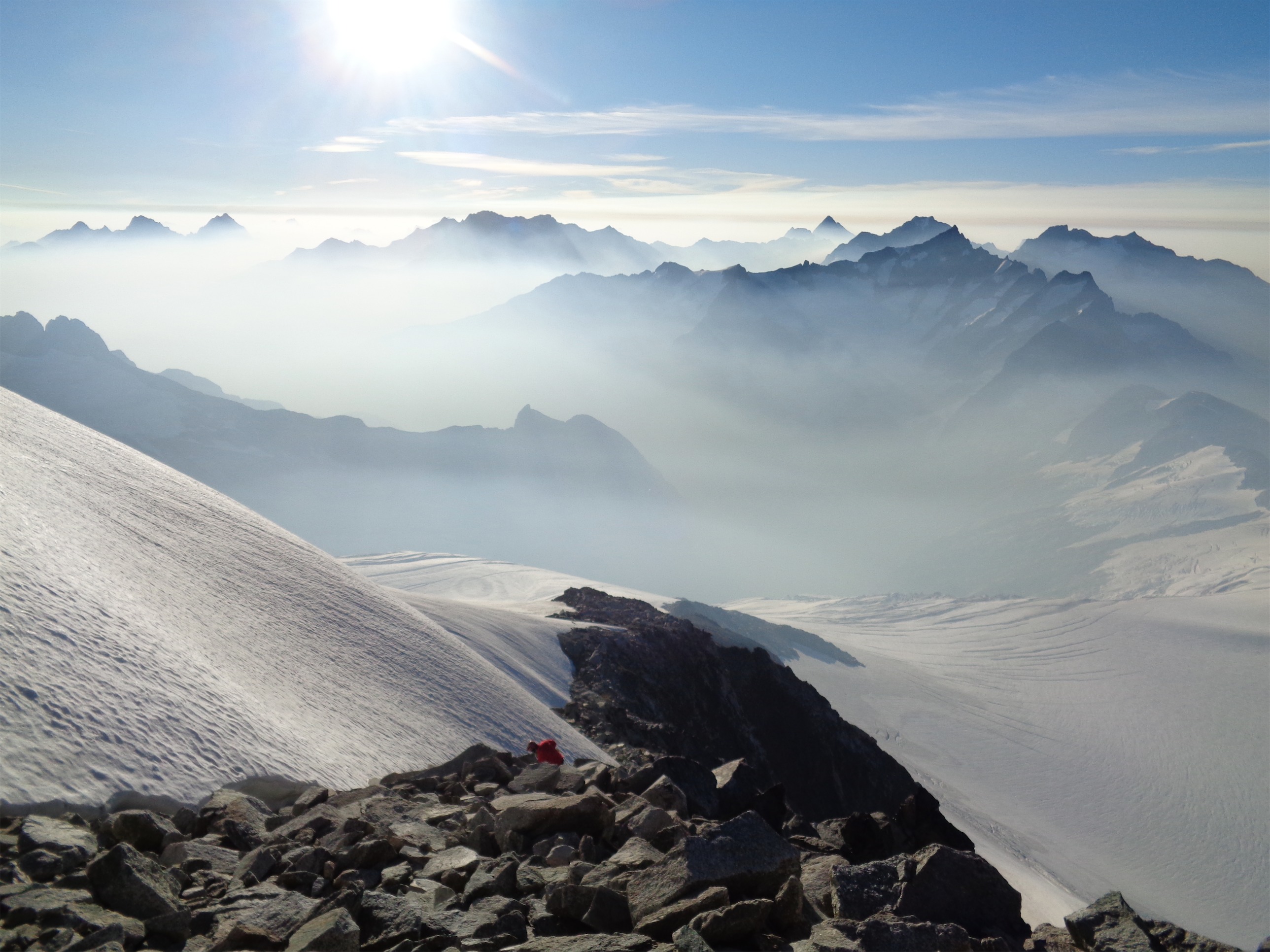
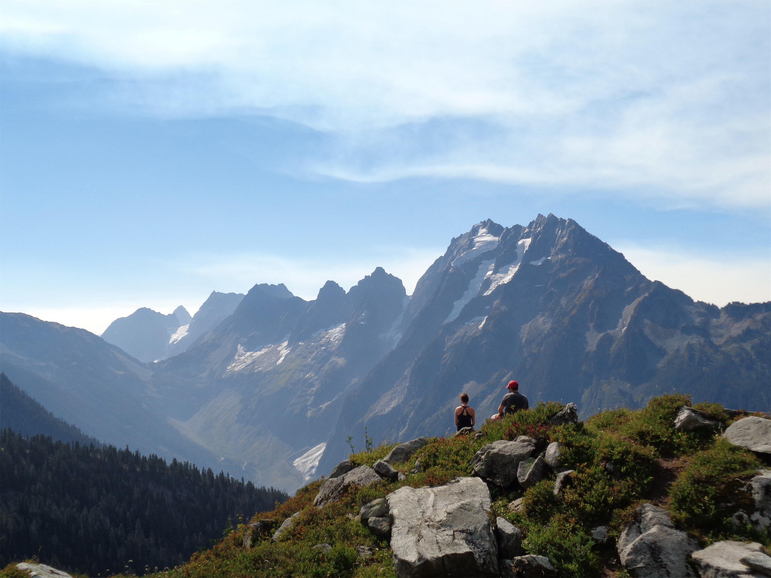
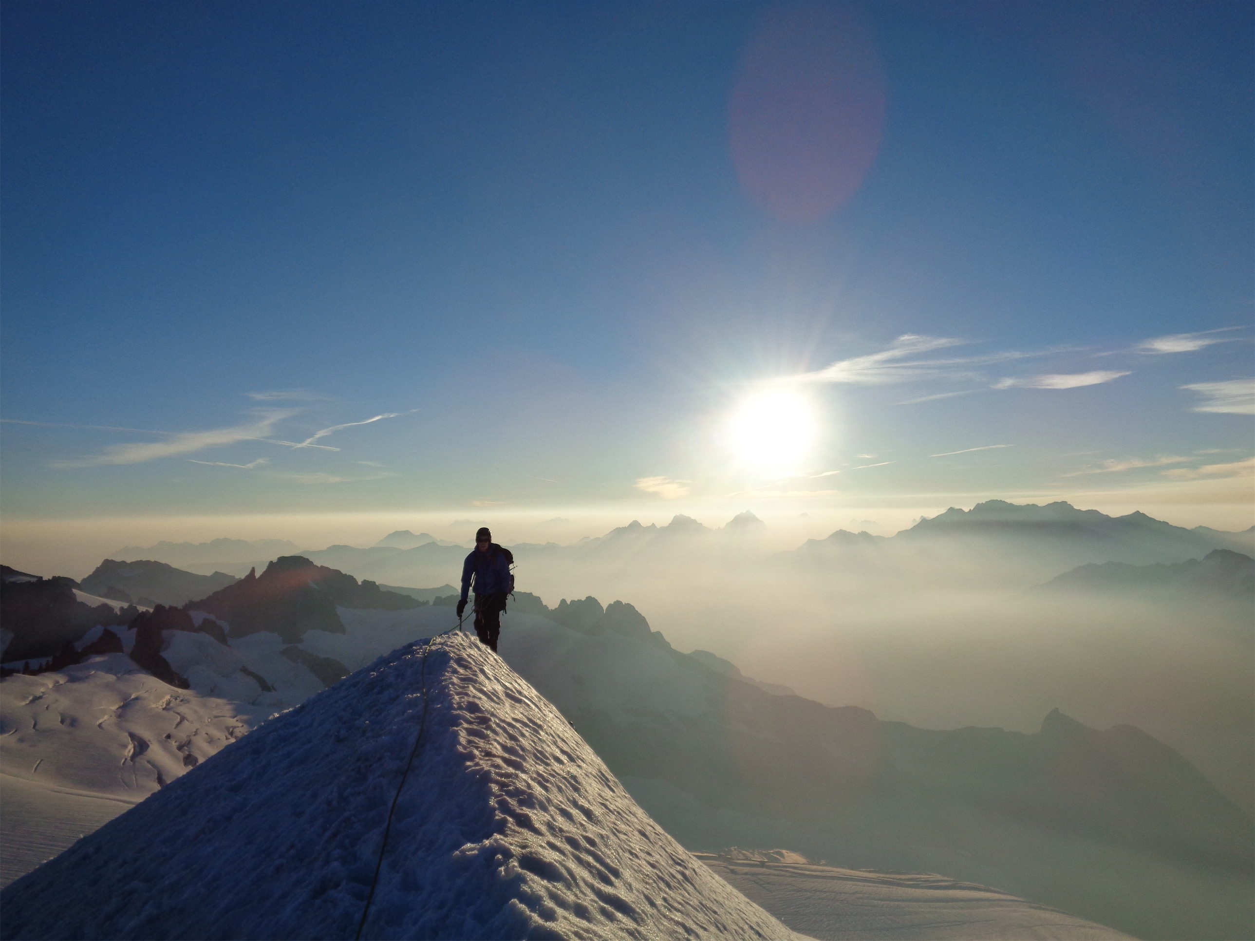
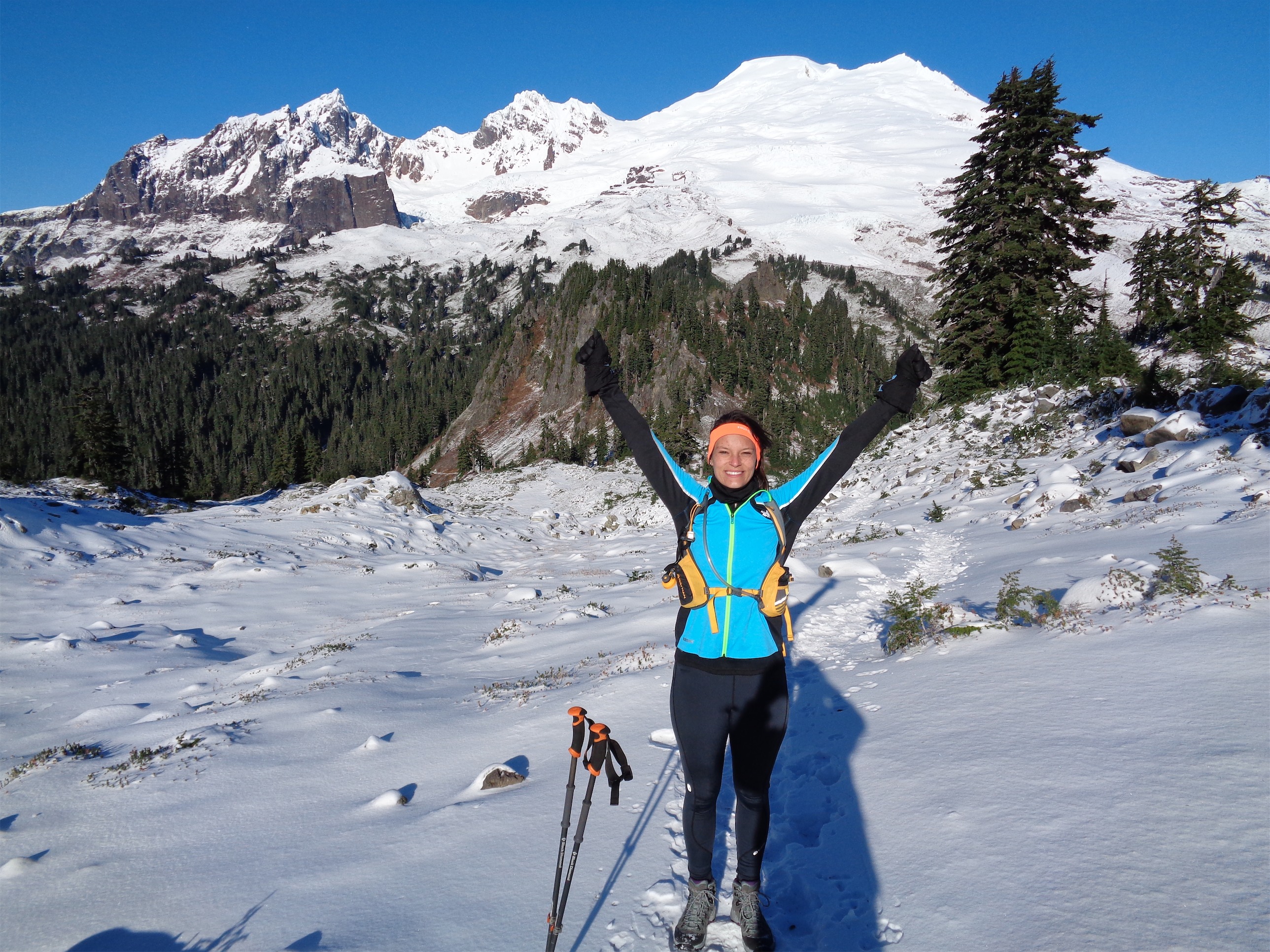
LOOK at that RIDGE GUYS
As we got higher the blue sky got lower and lower and I knew it wasn’t the ridge – do I crush their hopes now, or later? Finally Quinn caved and asked. “Is that the ridge?” I laughed. “Nope!” But I knew we’d be reaching a flat section, so I told them to hang tight and we’d take a break there. I dropped my pack, slathered my white-Seattle-winter face in sunscreen (living in Seattle in winter is like being a mushroom in a forest), and grabbed one of my few snacks. Honey Stinger Waffle and chicken salad leftover from lunch, yeah baby. Not together, jeez. Who do you think I am? I have standards.

“don’t sit no go stand over there”
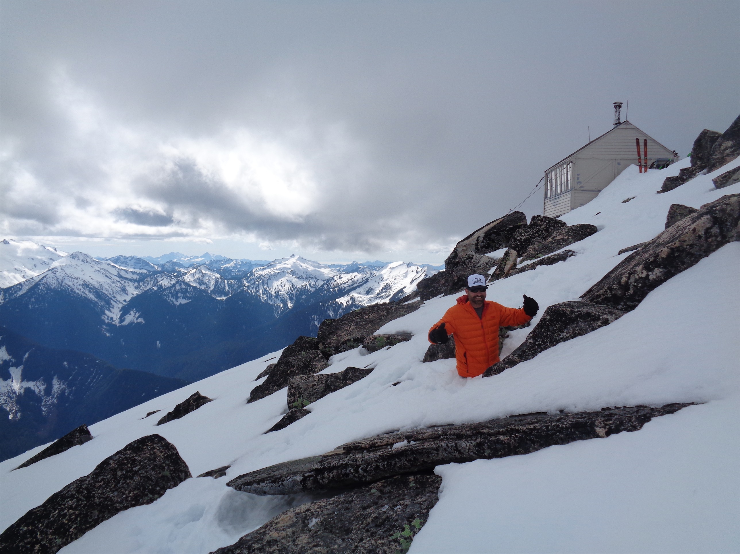
Quinn caught up first, and before he could sit I told him to “go stand over there so I can get a pic.” He obliged. The pics I took the rest of the day were better. Sorry Quinn. He was low on water, but I had 3 liters and as usual had only drank like half a liter (I’m in a perpetual state of dehydration) so I tossed him a liter. My other waterbottle was full of a combo of salty Watermelon Gu tabs and Peach Iced Tea by Crystal Light. Disgusting until I was thirsty and needed salt, and then it was glorious. Quinn didn’t want to try it. I offered him sunscreen as well, but he insisted on working on his base burn. I get it, I get it. Any color is better than pasty. Even lobster red.Kacie caught up next, and soon enough we saw a skiier! “It’s Tony!” Kacie said. “TONY!!!” I yelled. “No wait, it’s Dave?” Kacie said. “DAVE!!!” I yelled. “Wait, no it’s Tony.” “Dav- TONY?!? TONY!” Followed shortly by Cheryl rocking her snowshoes. I honestly didn’t think we’d see them until the lookout since we had taken a different route. Yay, friends!
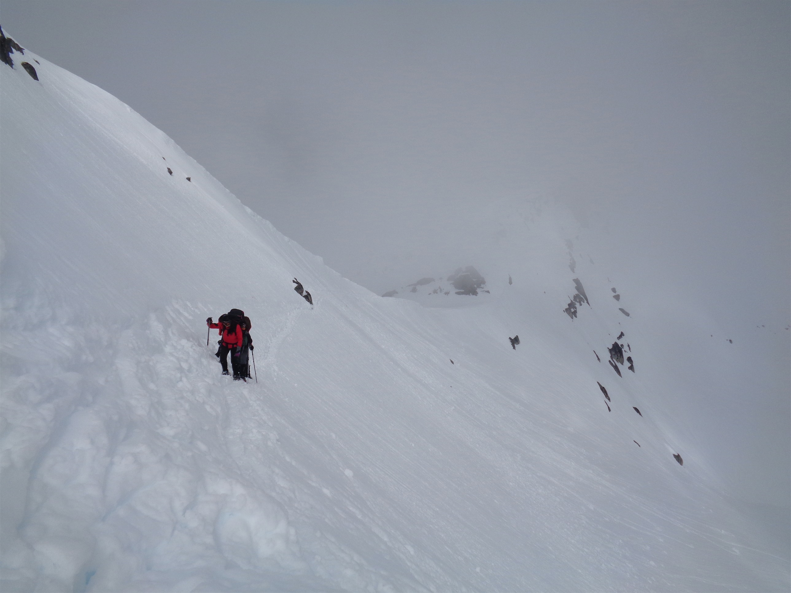
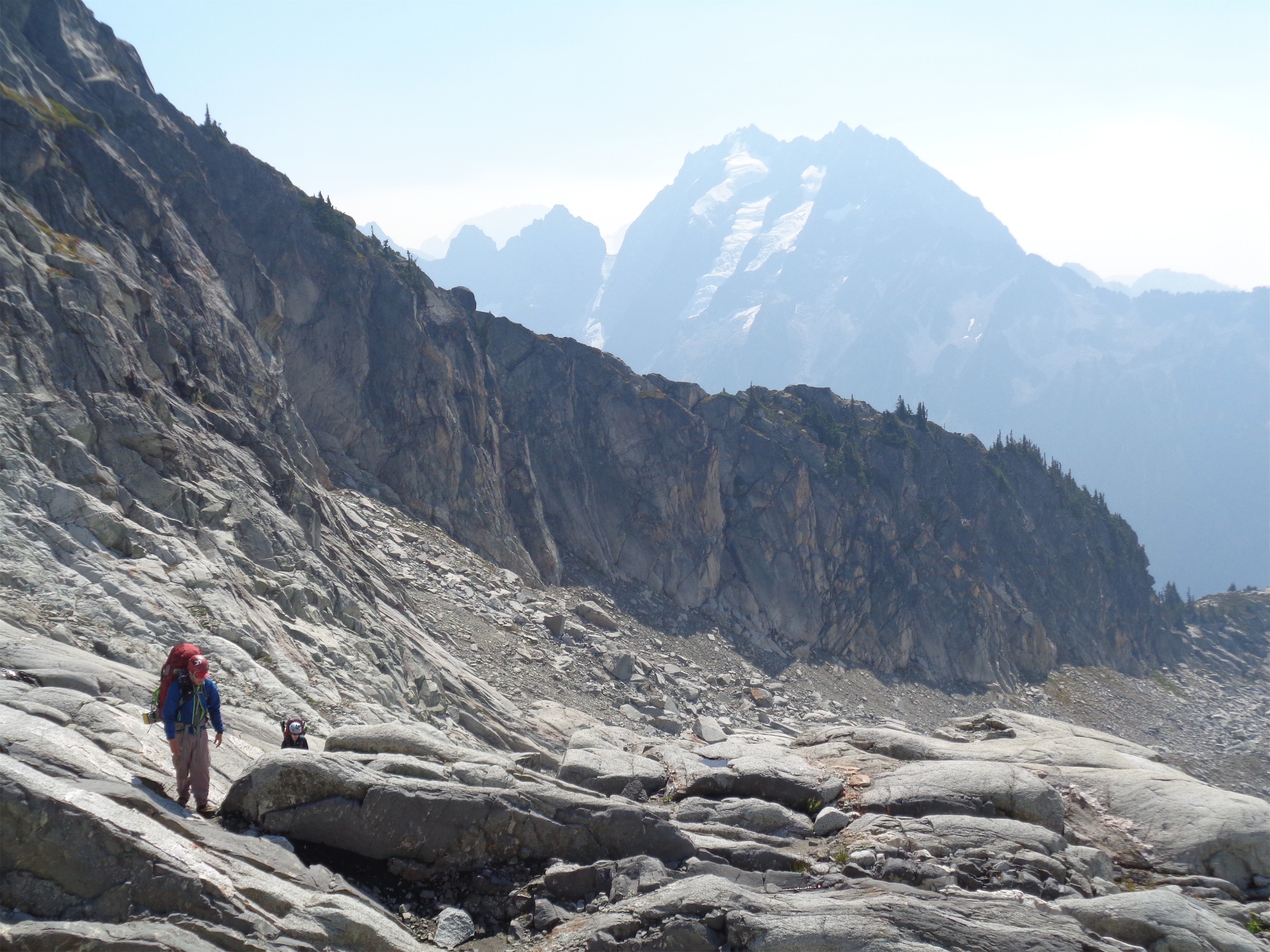
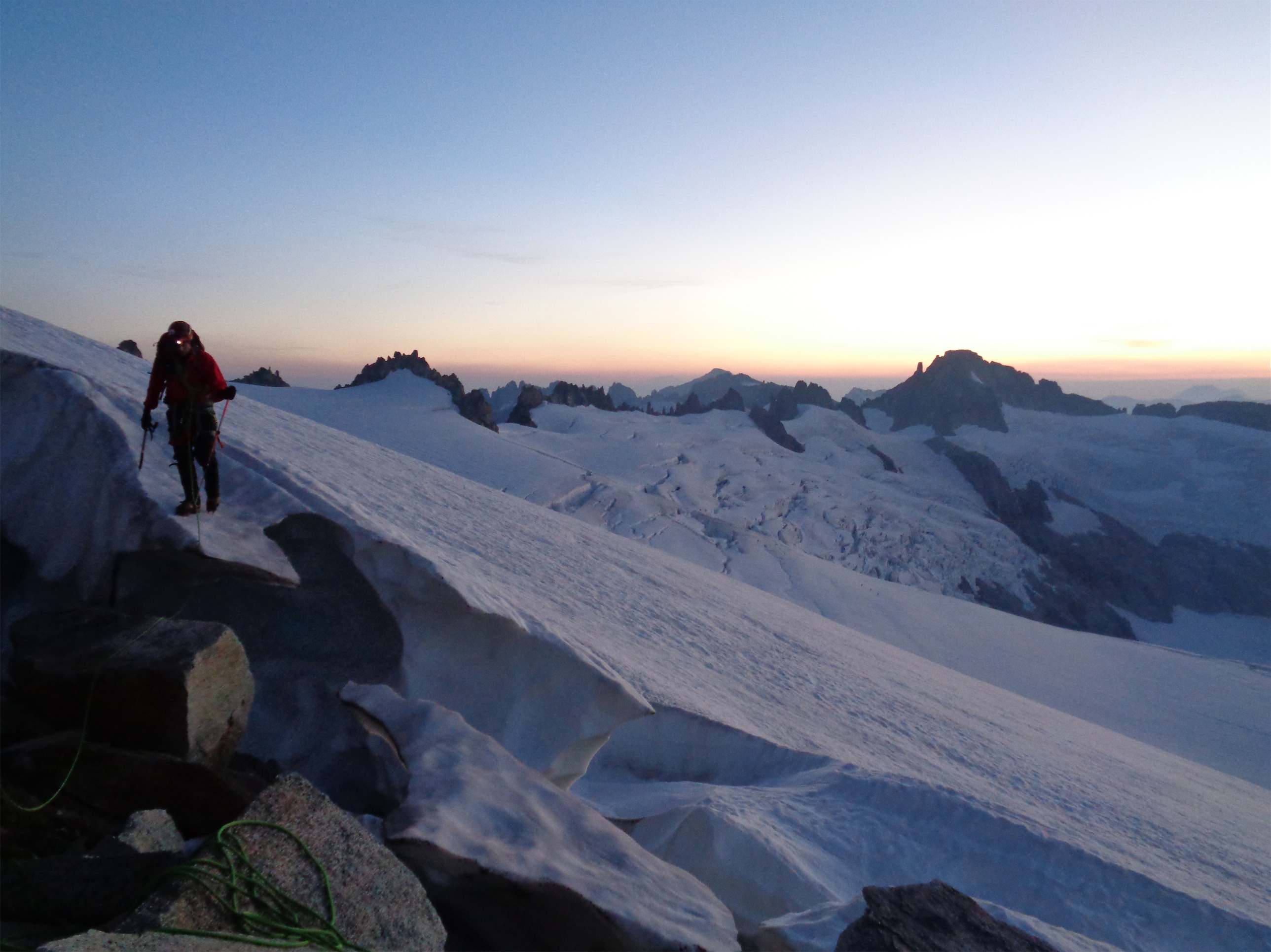
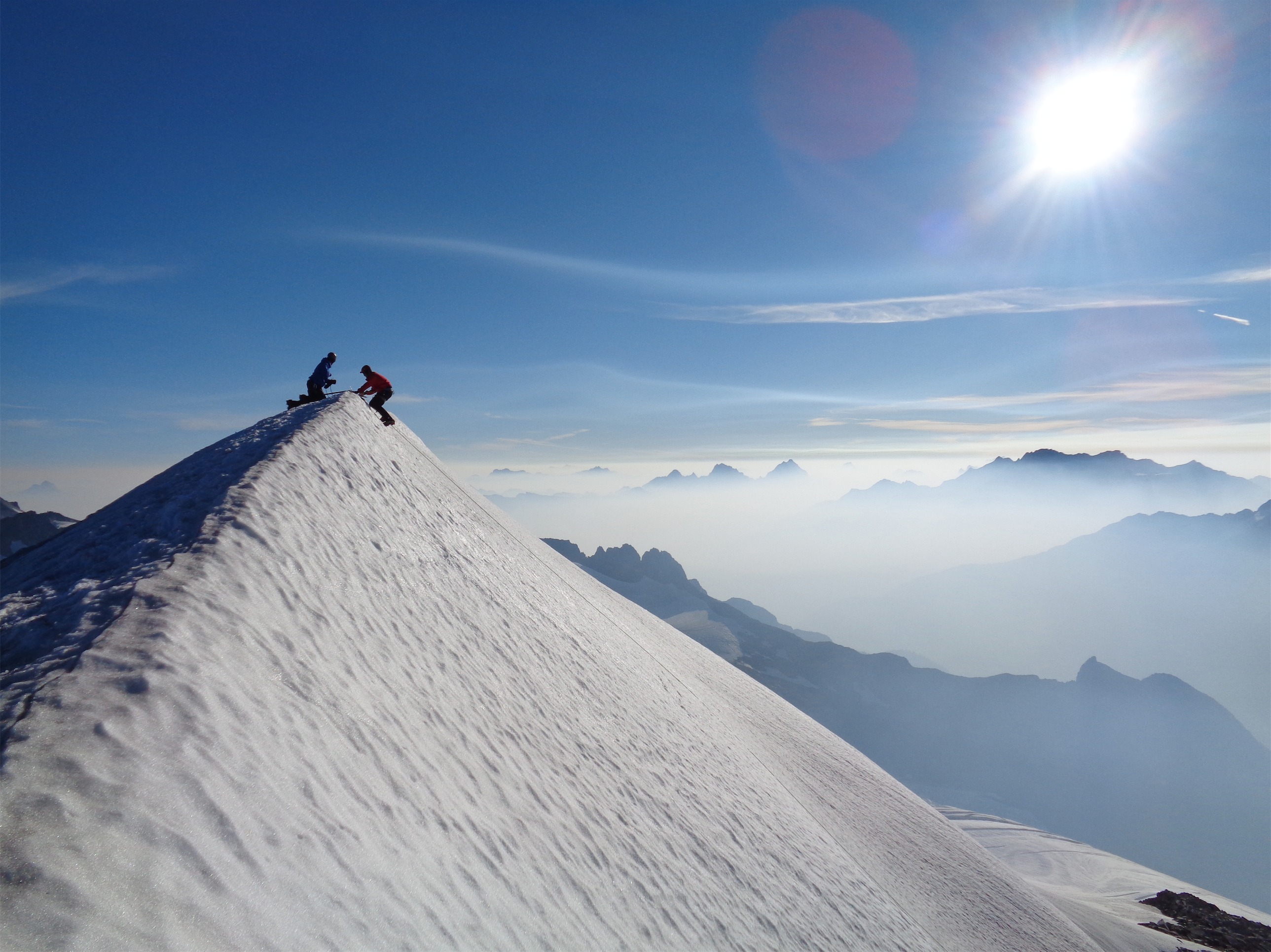
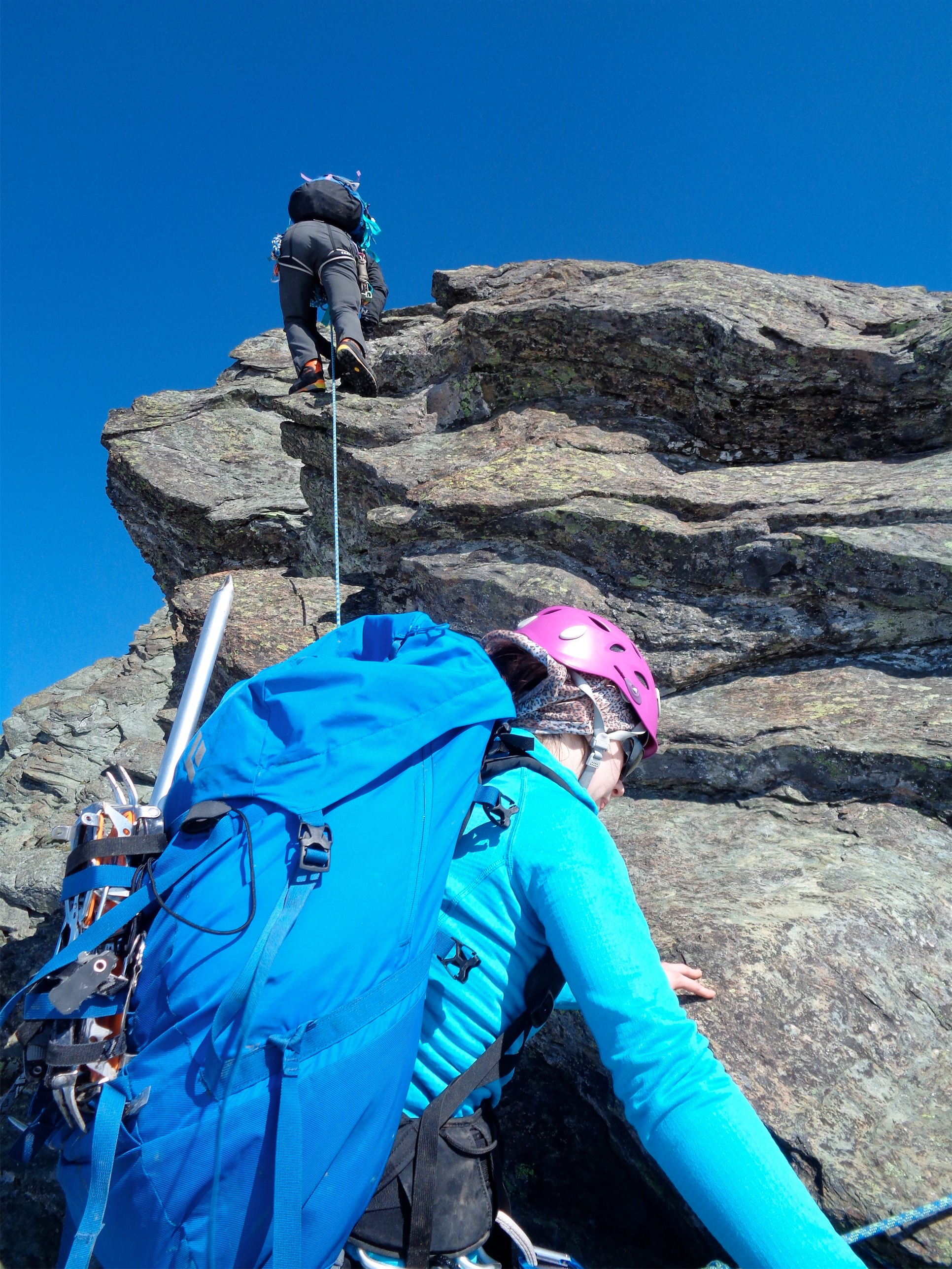
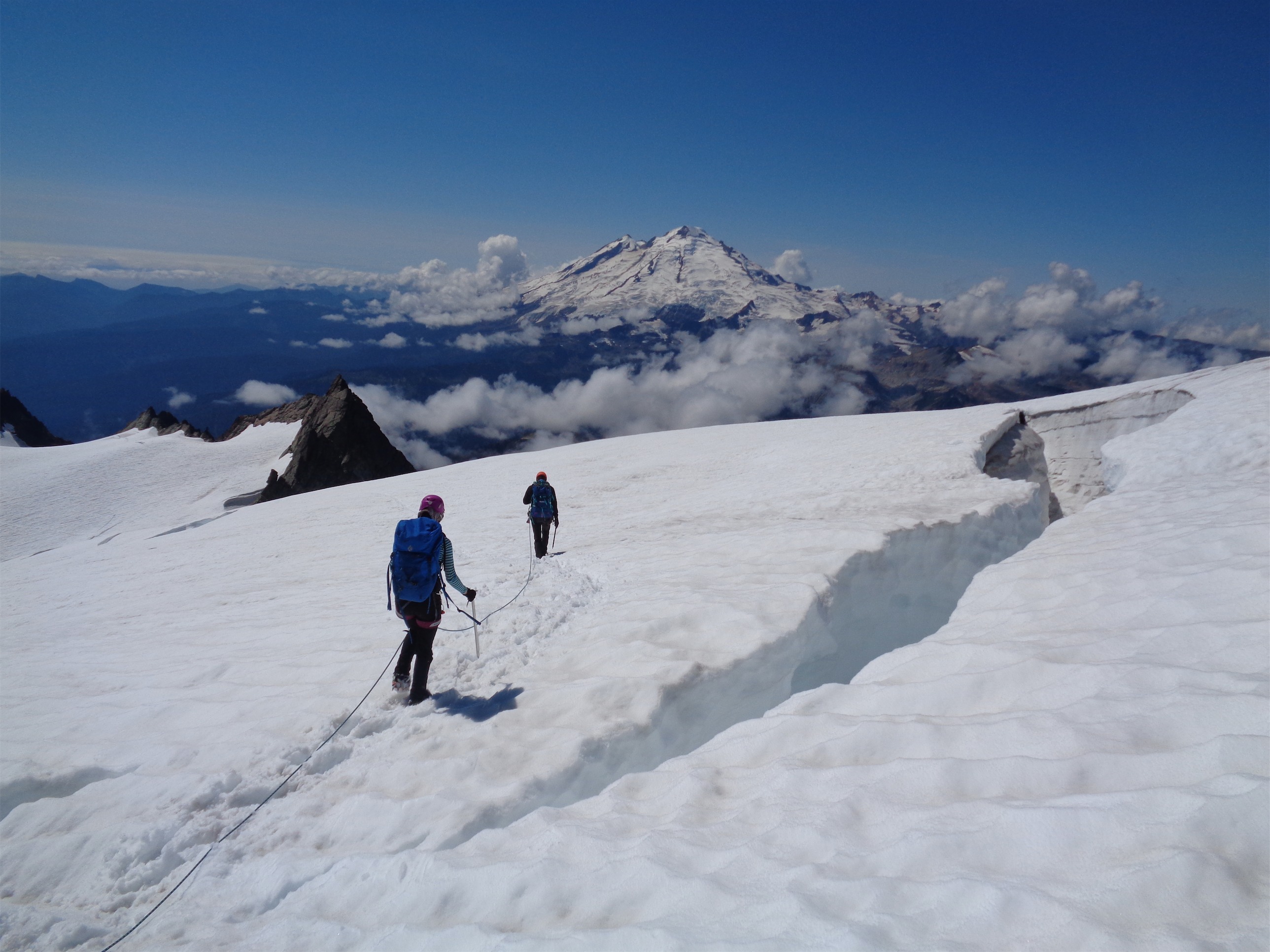
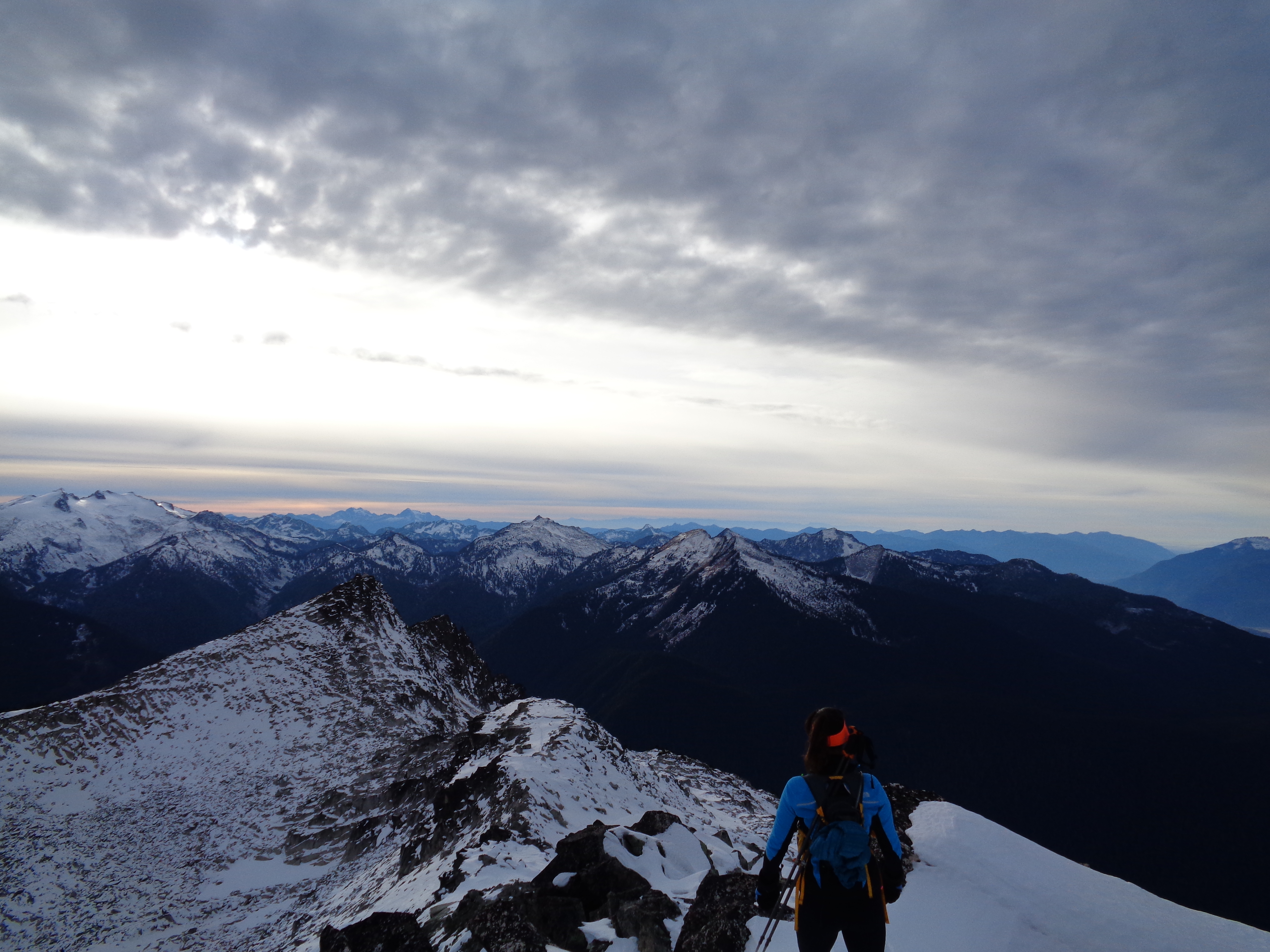
The Traverse
I followed Tony skinning up a shortcut to the saddle while Quinn and Kacie followed Cheryl along the tracks they had made the previous day. I snapped pictures in every direction. Getting close to the saddle, Tony laughed quietly and said “wait until you see the traverse. Kacie’s gonna hate it.” Okay, I mean how bad can it be? “Cheryl did it right? So Kacie will be fine, it can’t be that bad.” “Cheryl hated it.” We crested the ridge and bam, a classic flat steep 45 degree face sloughing off its snow in the afternoon sun. Oh, good. Well, everyone would get a taste of mountaineering at least.

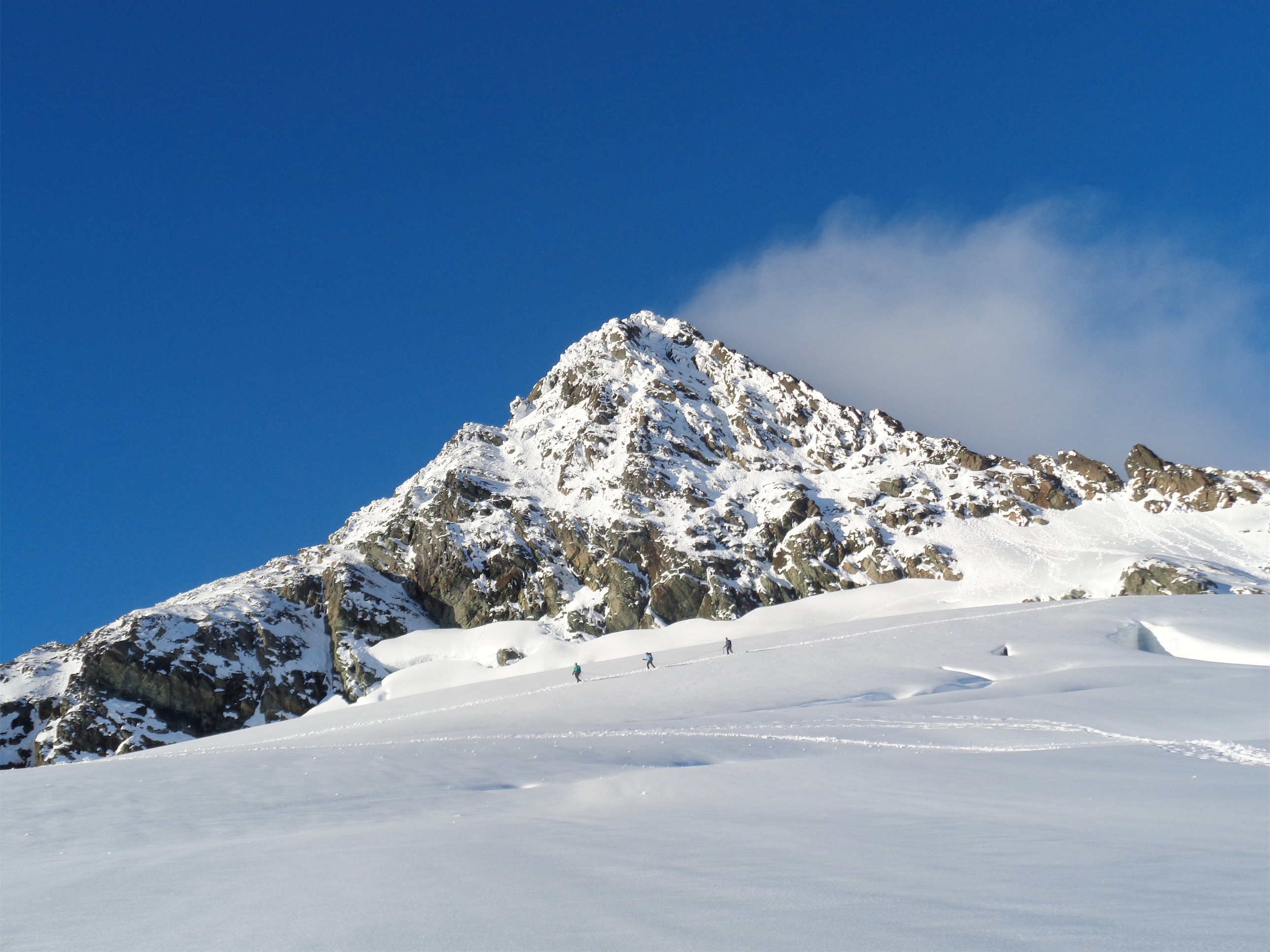
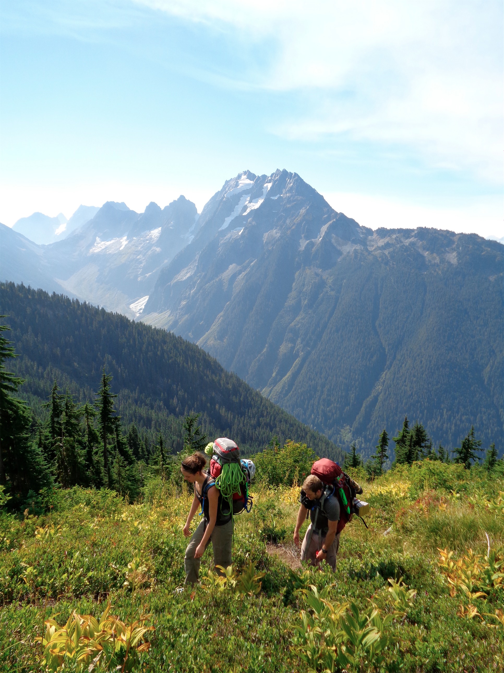
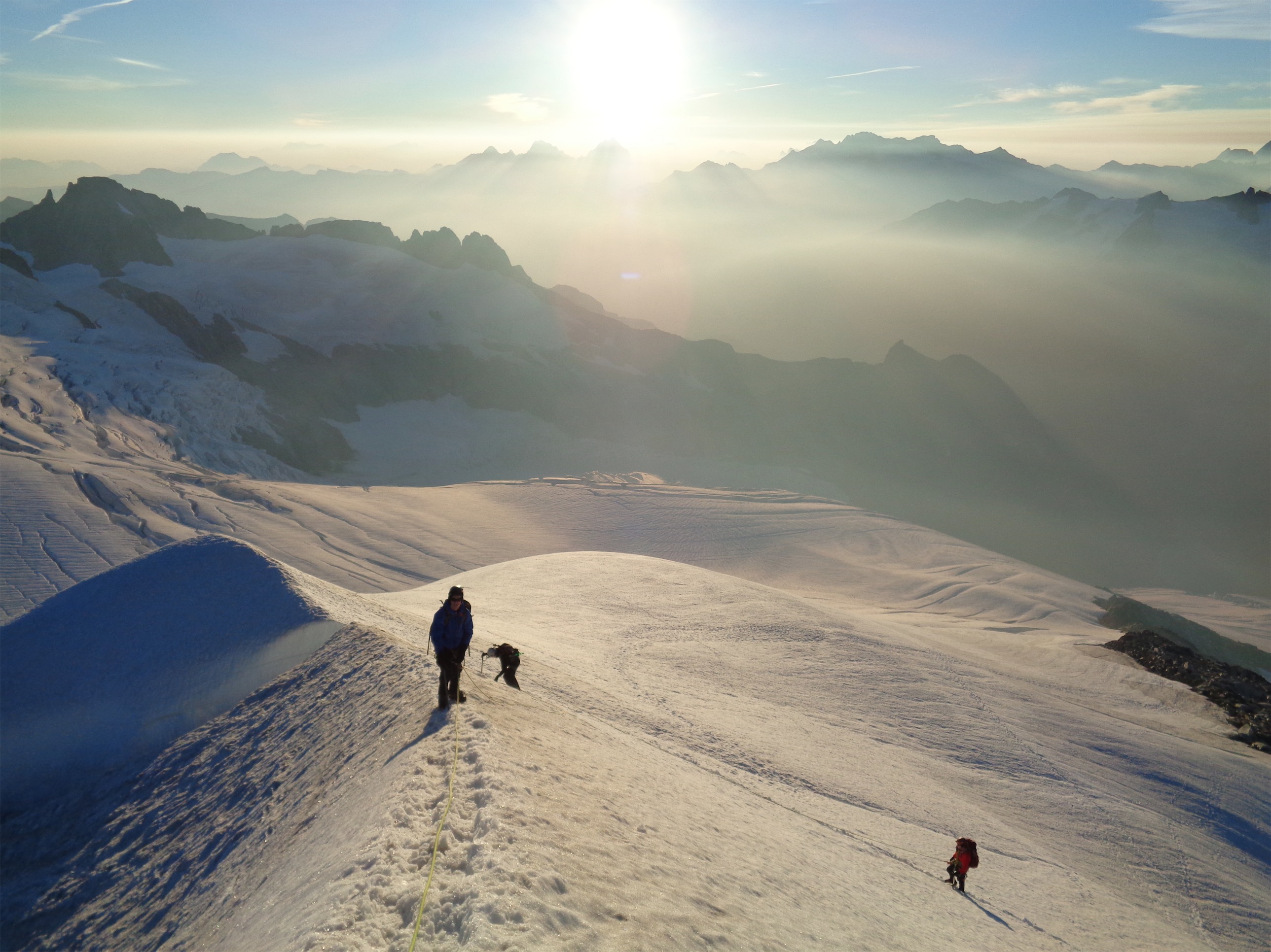
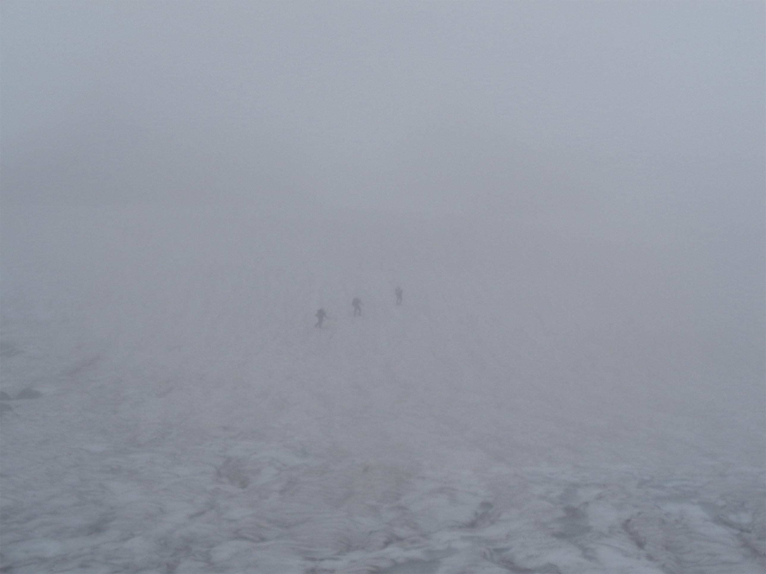
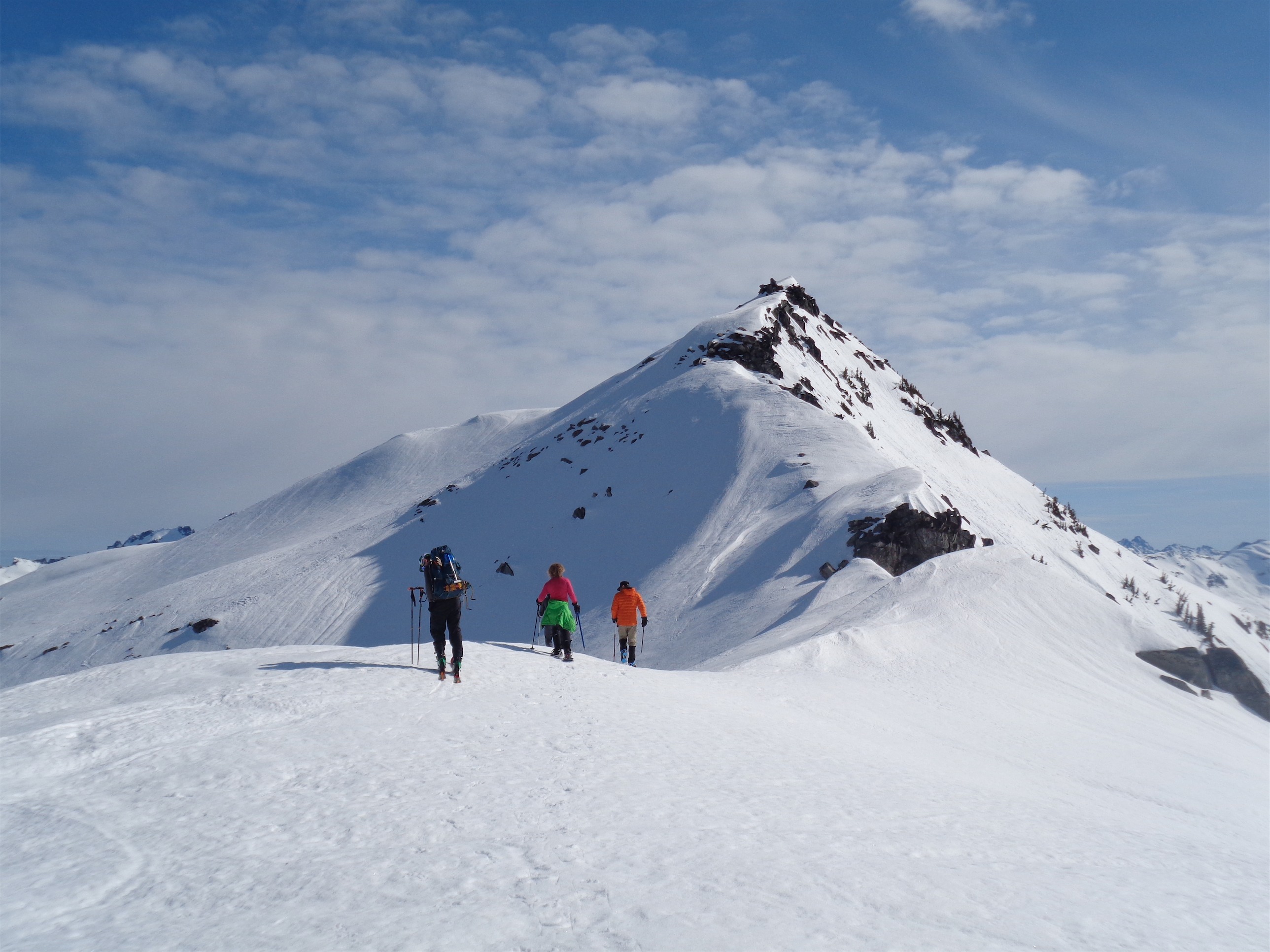
Cheryl, Kacie, Quinn coming up the final ridge
We waited for the others to catch up and I debated whether to ditch the skis and put on boots and crampons or push the comfort zone and see if skis did the trick. Who am I kidding, I’m trying the skis. I have to know if I can do it. Tony went first with his skinny skis, and I followed with my fat ass powder skis. I could fit like one ski in both of his tracks. So it was one tiny baby step at a time, while laughing at myself because this whole situation was ridiculous. I did slip once, but miraculously caught myself and managed to balance well enough to get back on track. I met Tony and Dave at the other side of the ridge, and we snapped a few pics of the three snowshoers behind us.

Cheryl on the traverse the next morning
Quick tip, you generally want to spread out on slopes like that in case something does go wrong. 1% chance something happens, but if that 1% comes to fruition, you don’t want it taking out your entire team at once. Tiny chance, huge consequences. That’s how I look at mountaineering hazards. But I figured now wasn’t the time to tell anyone that, and chances of an avalanche were low. As for falling, at least there were no rocks below the traverse. Well there was one, so just aim your fall well. Tony will ski down to you while I tumble and curse behind him.
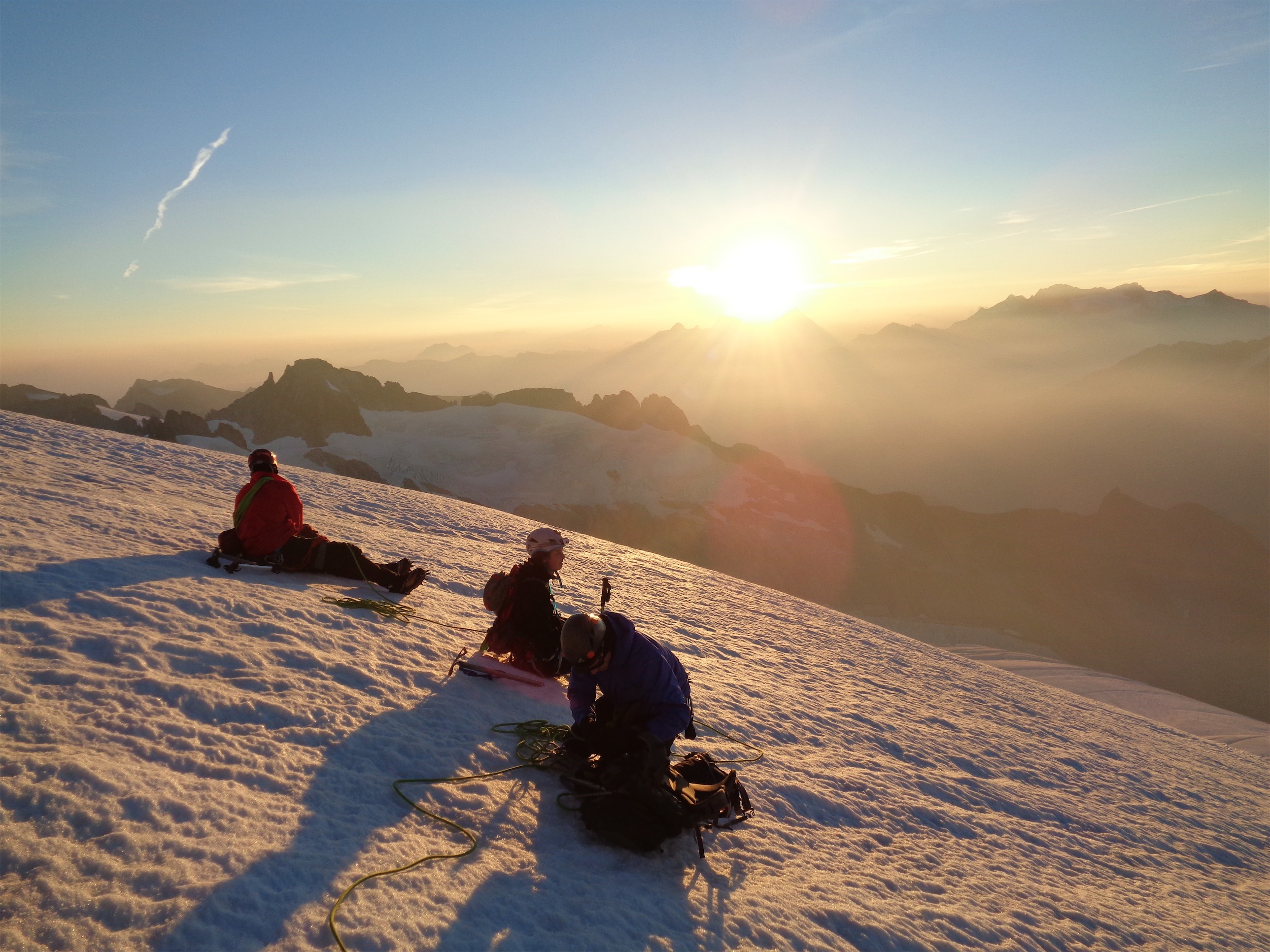
Talk about pushing your comfort zone. Cheryl cried off all of her sunscreen (no, not actually) and Kacie glared at the snow with lasers and disdain I didn’t know human eyes could convey. Quinn didn’t even notice he was on a slope. Once we were above the cornice on the other side, we scurried up to the lookout, dropped our gear, and devoured snacks. Kacie asked me if we had just crossed what I would call “a zone of danger.” I mean, I guess so. But how would you phrase that? A slightly more than risky zone? Dare I say… the danger zone?
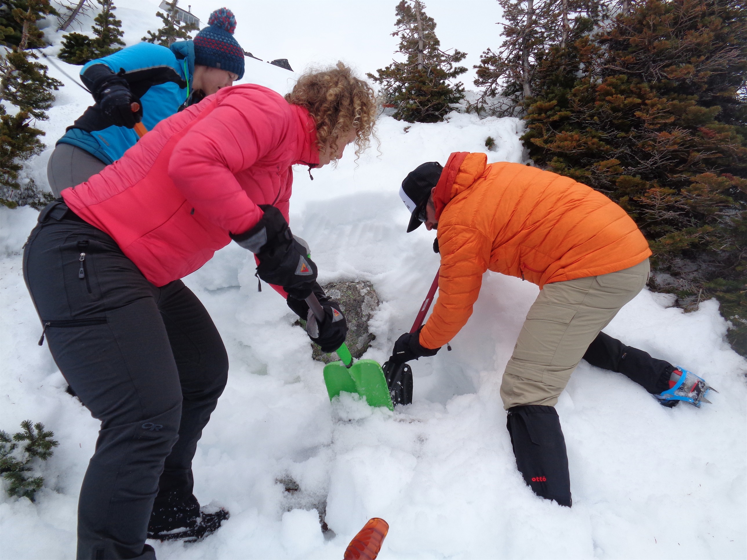
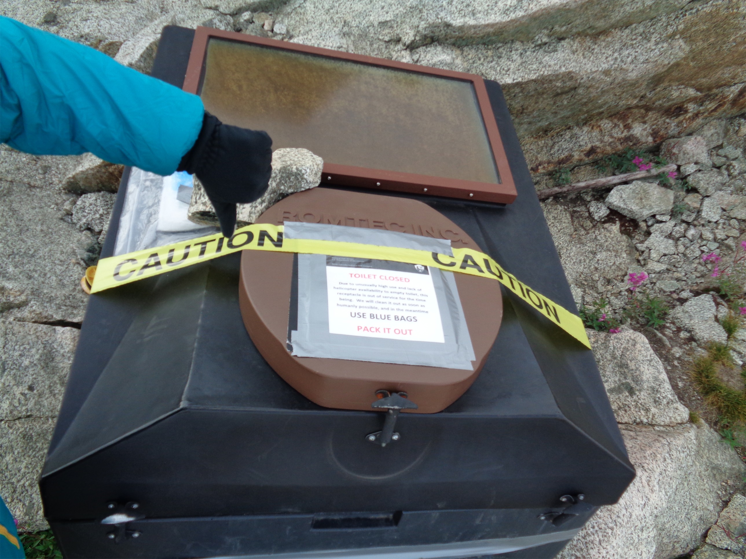
We’d be good slave laborers, digging toilets
Dave eventually mentioned the pit toilet. There’s a pit toilet? With a five-star view? Did you know about the 50 Classic Craps of Washington? Why aren’t we digging it out right now?! Somehow everyone either rallied to humor me (I love digging and I think secret toilets are hilarious) or they were legitimately excited about it. Or maybe they saw the practicality in not needing to use blue bags. We all grabbed our shovels and ran down the slope, using a picture on Cheryl’s camera from summer to triangulate the location of the toilet. We got to the spot and everyone started digging. “I GOT THE EDGE!!” Dave shouted. We surrounded him and frantically dug and two feet later there was a toilet. It had been maybe 5 minutes. We all look at each other as if to say “what now?” Tony started hurling snowballs from above. Back to the lookout!
Is it a posthole if both your legs punch through?

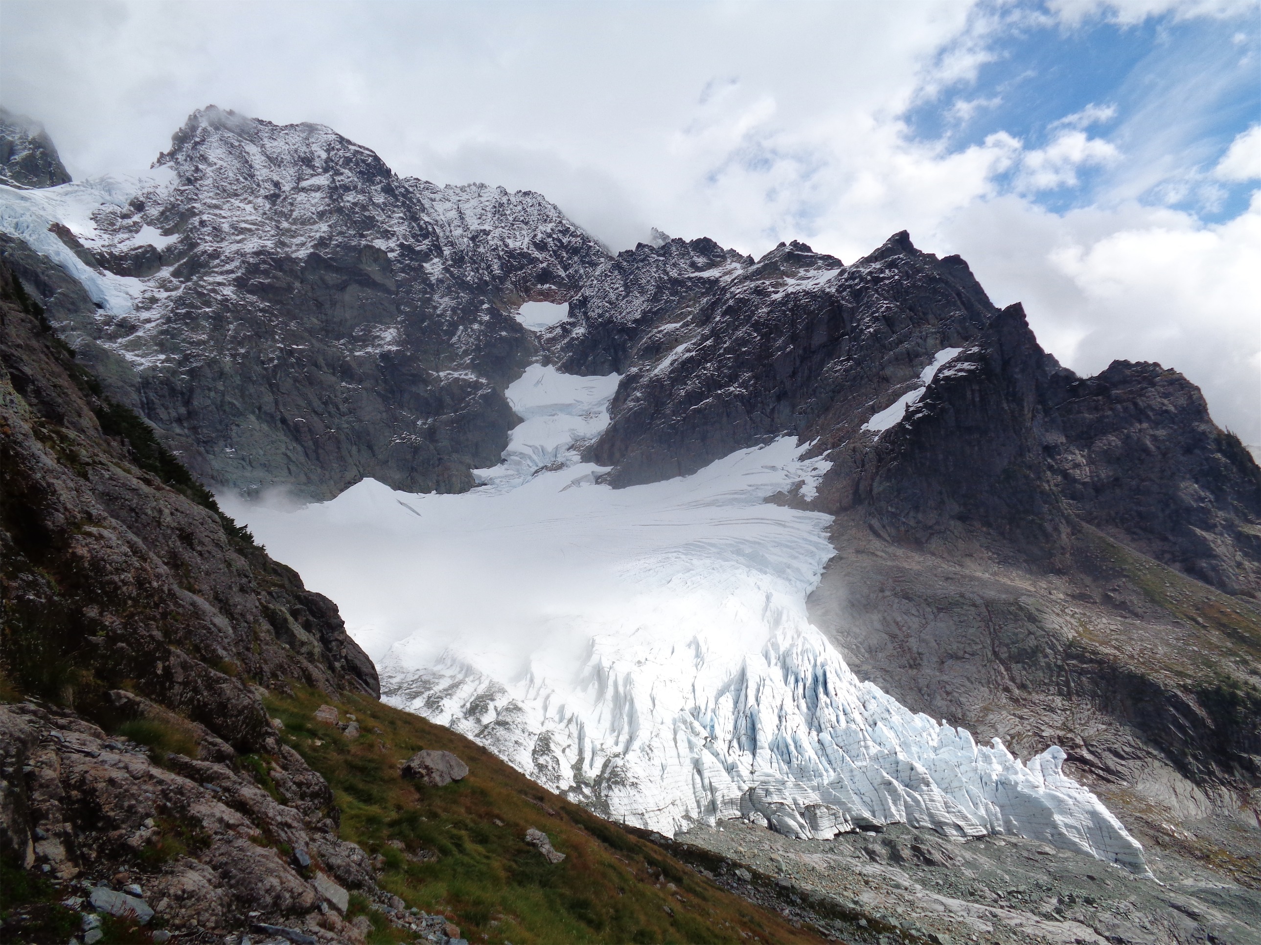
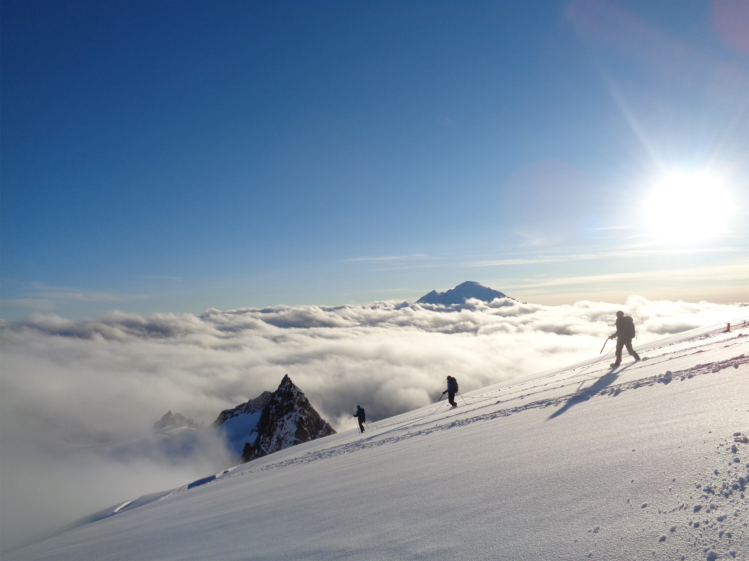
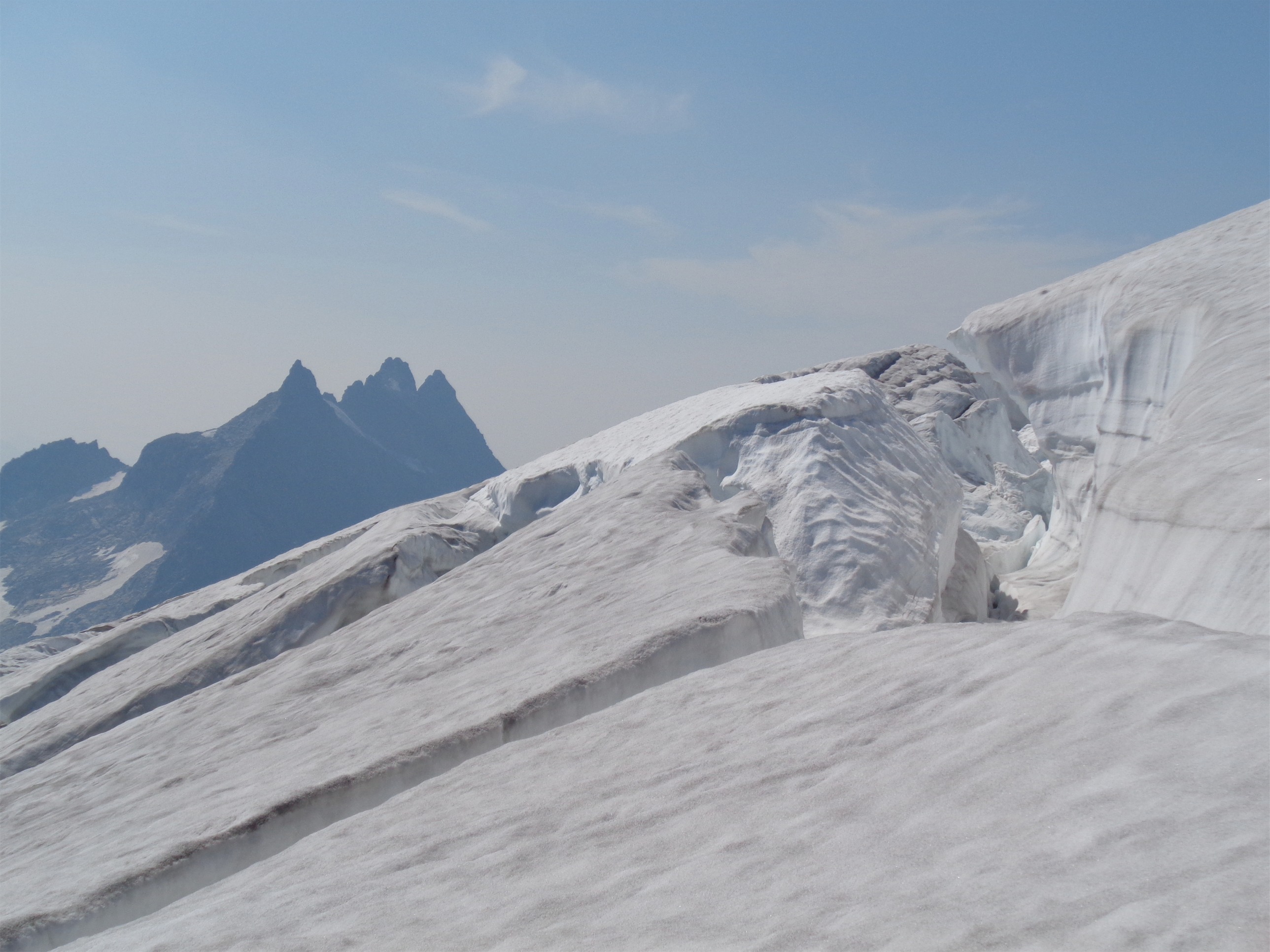
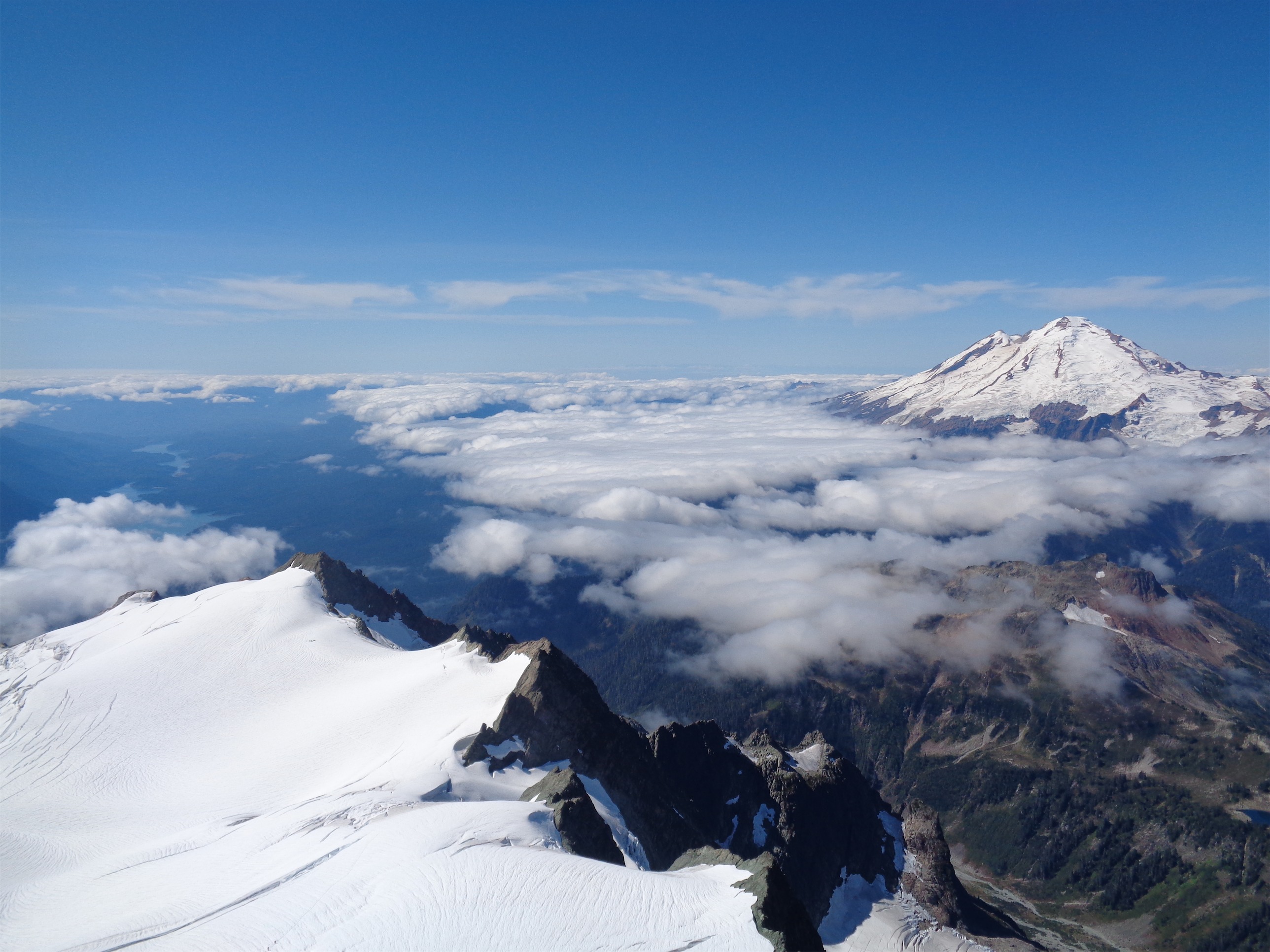
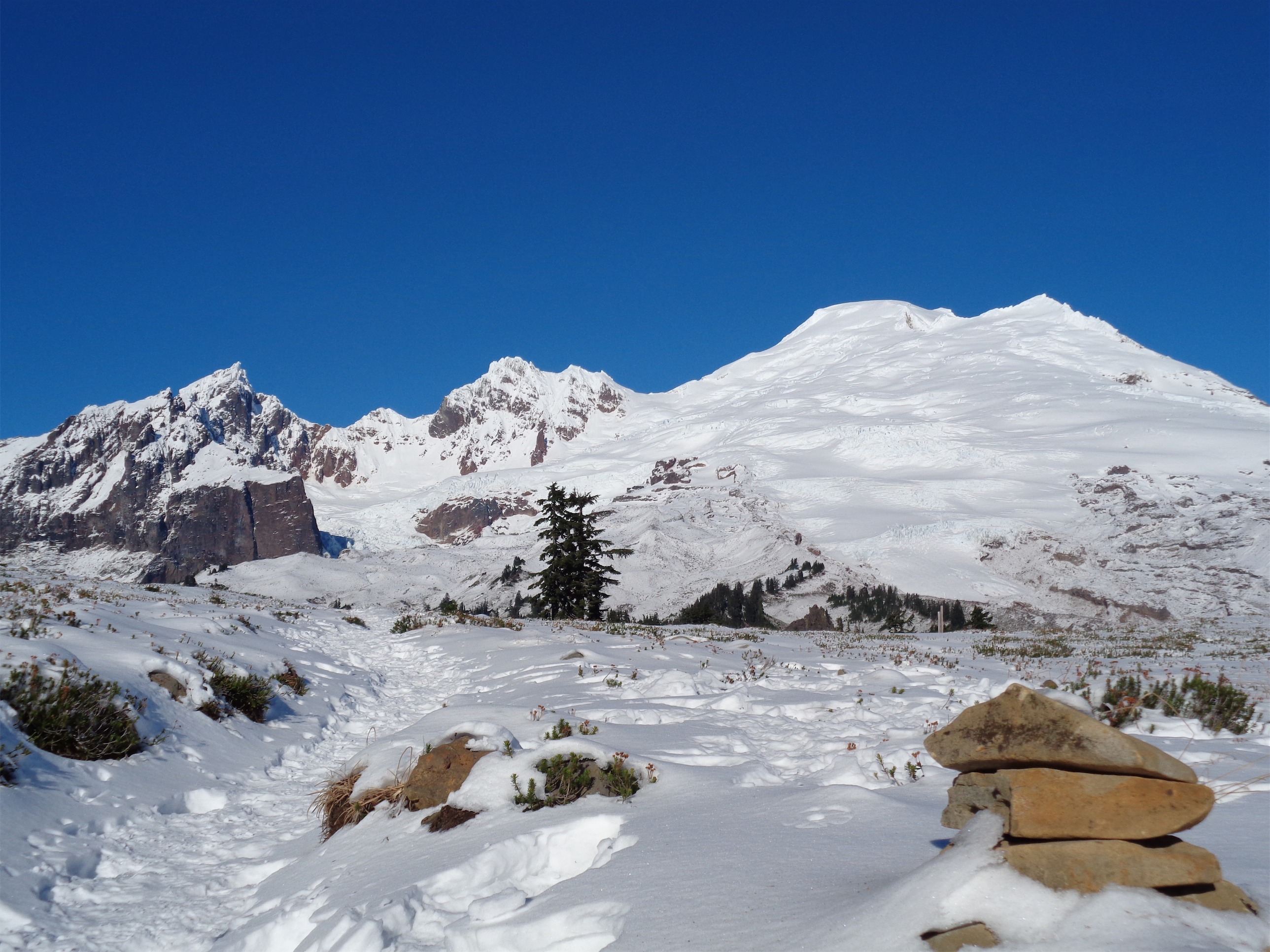
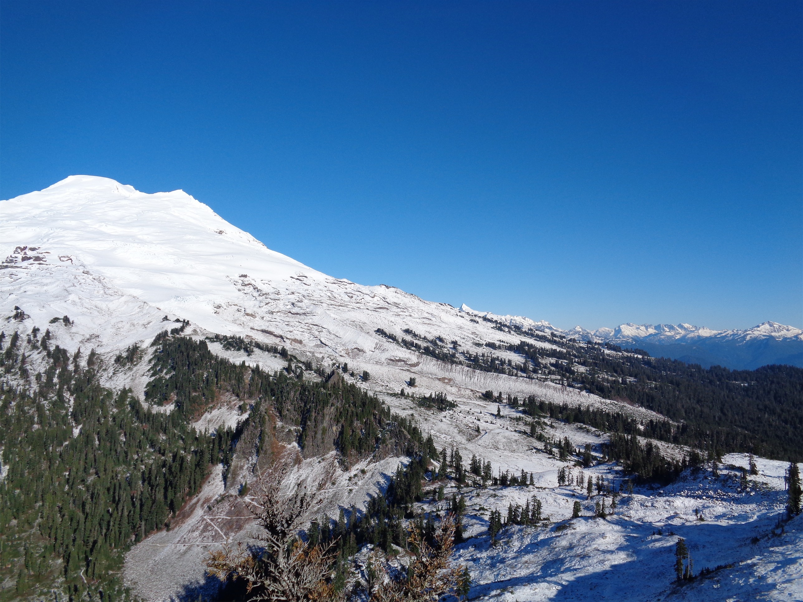
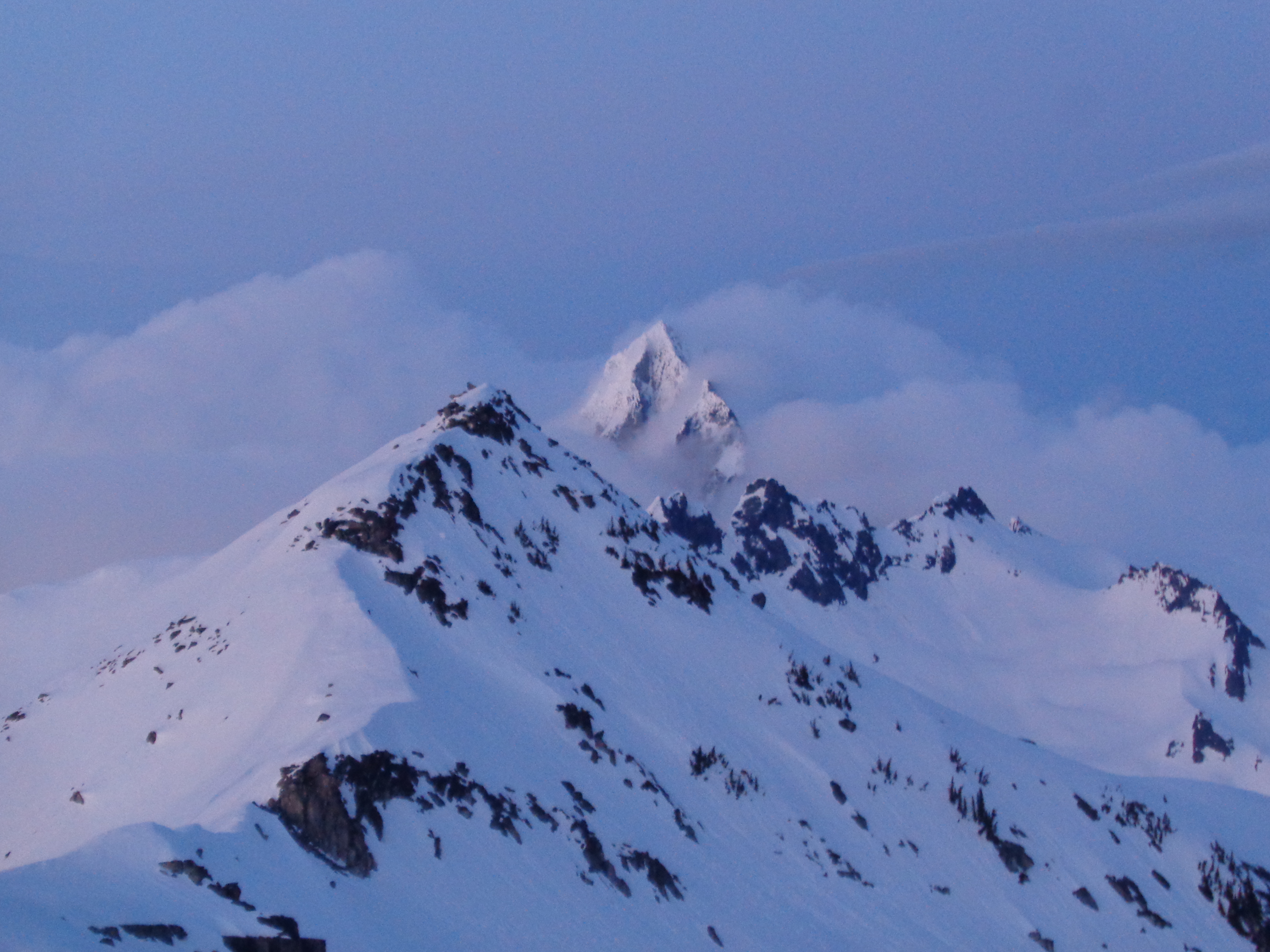
Hidden Lake Peak on the left, Eldorado on the right
Cue another few hours sitting on rocks in the sun, snacking, sunburning, postholing in the snow, whining about Eldorado. Come on, Eldorado. Get your head out of the clouds. We met Gabe, a lone splitboarder who came up to the lookout only to find he had to share it with 6 barbarians. He boarded down to the lake to escape us. We timed how long it took him to get back up. He left at 3:17. No one checked the time when he got back. Crap. (Gabe turned out to have a ton of alpine experience in incredible places, Peru being one of his favorites. Ecuador and Bolivia are overrated. Take note, anyone who likes beautiful fluted peaks with steep snow and ice, I wish I had written down his peak suggestions).
Ask me how many pictures I took of my tent
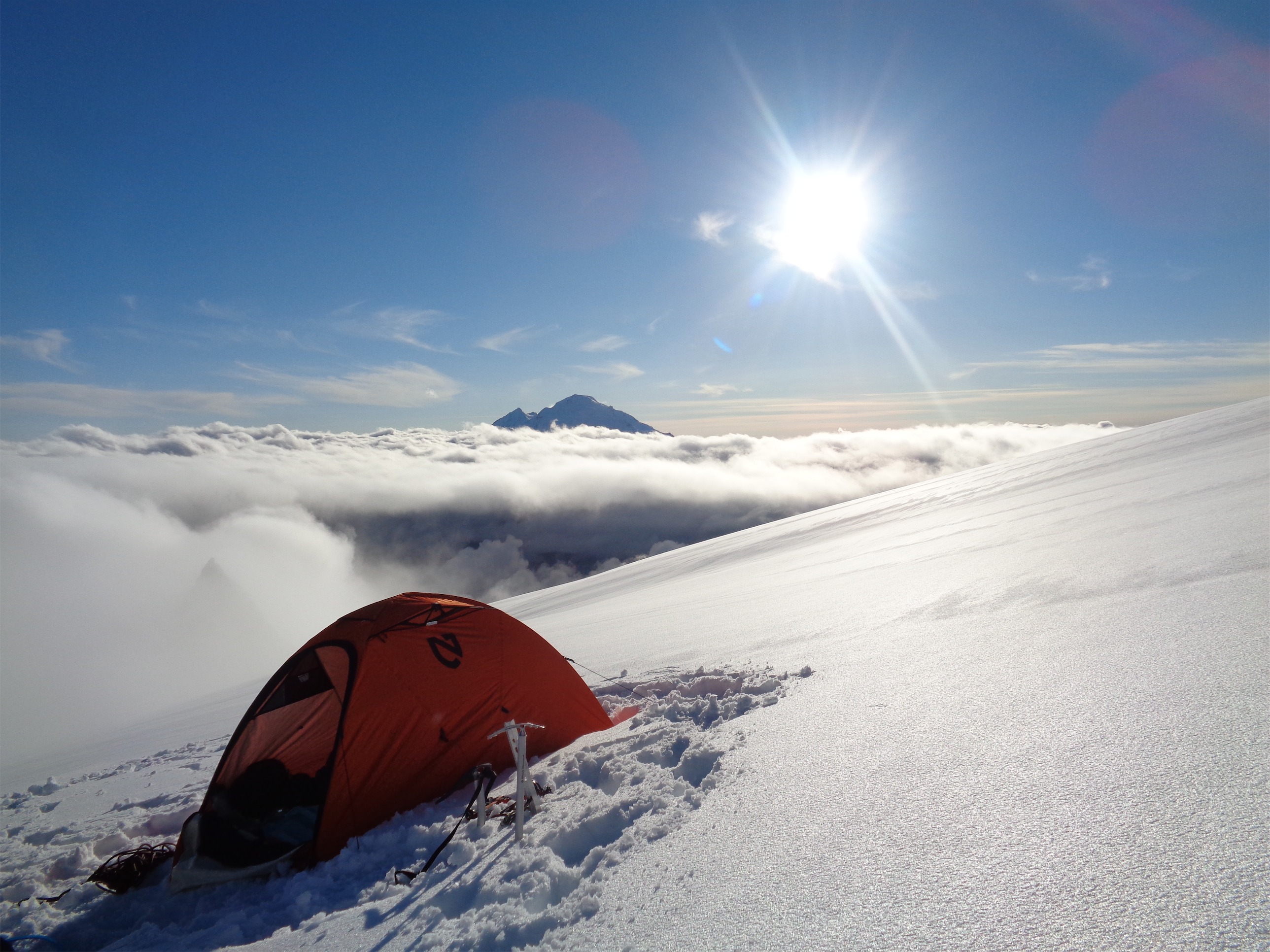
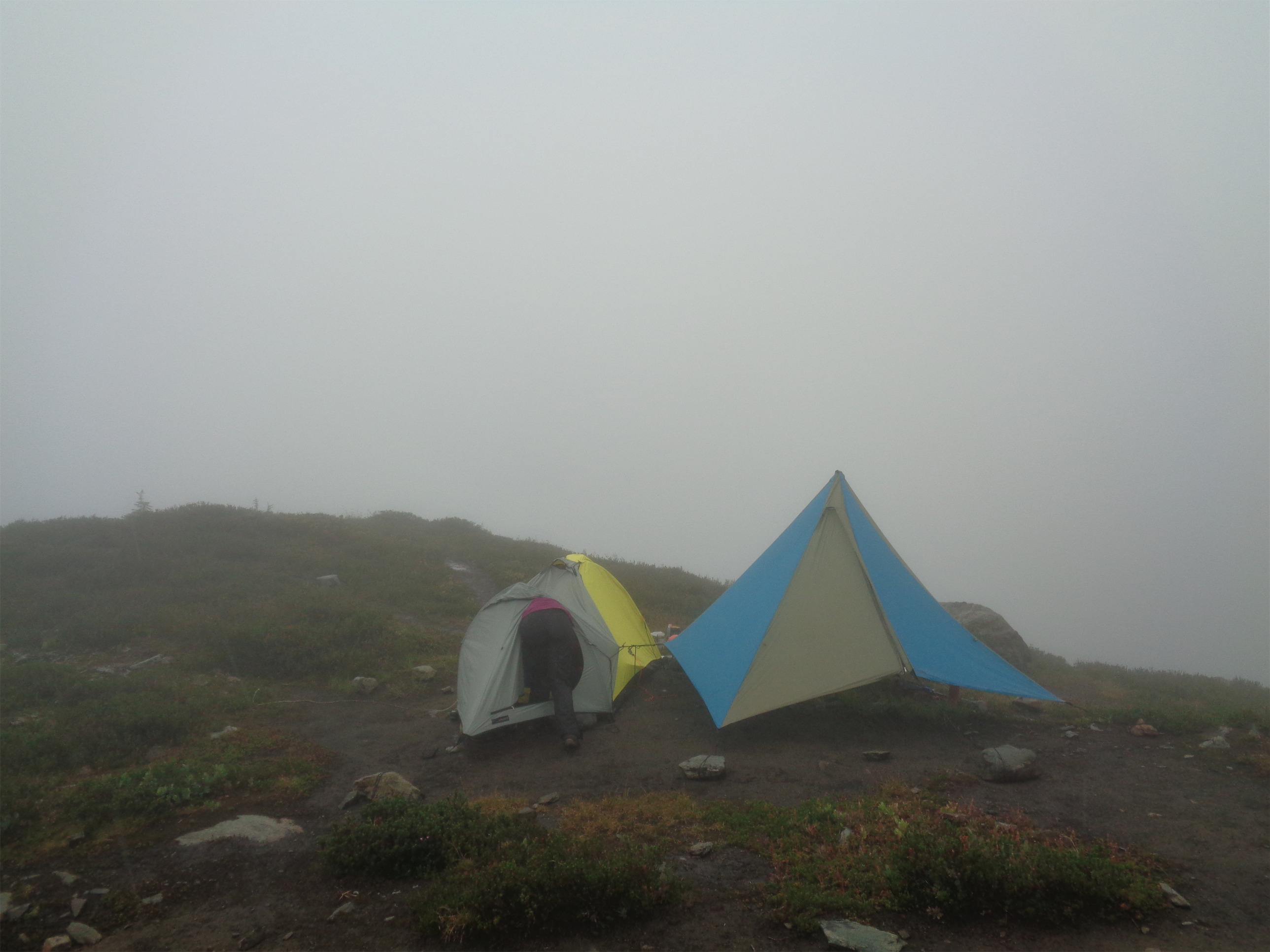
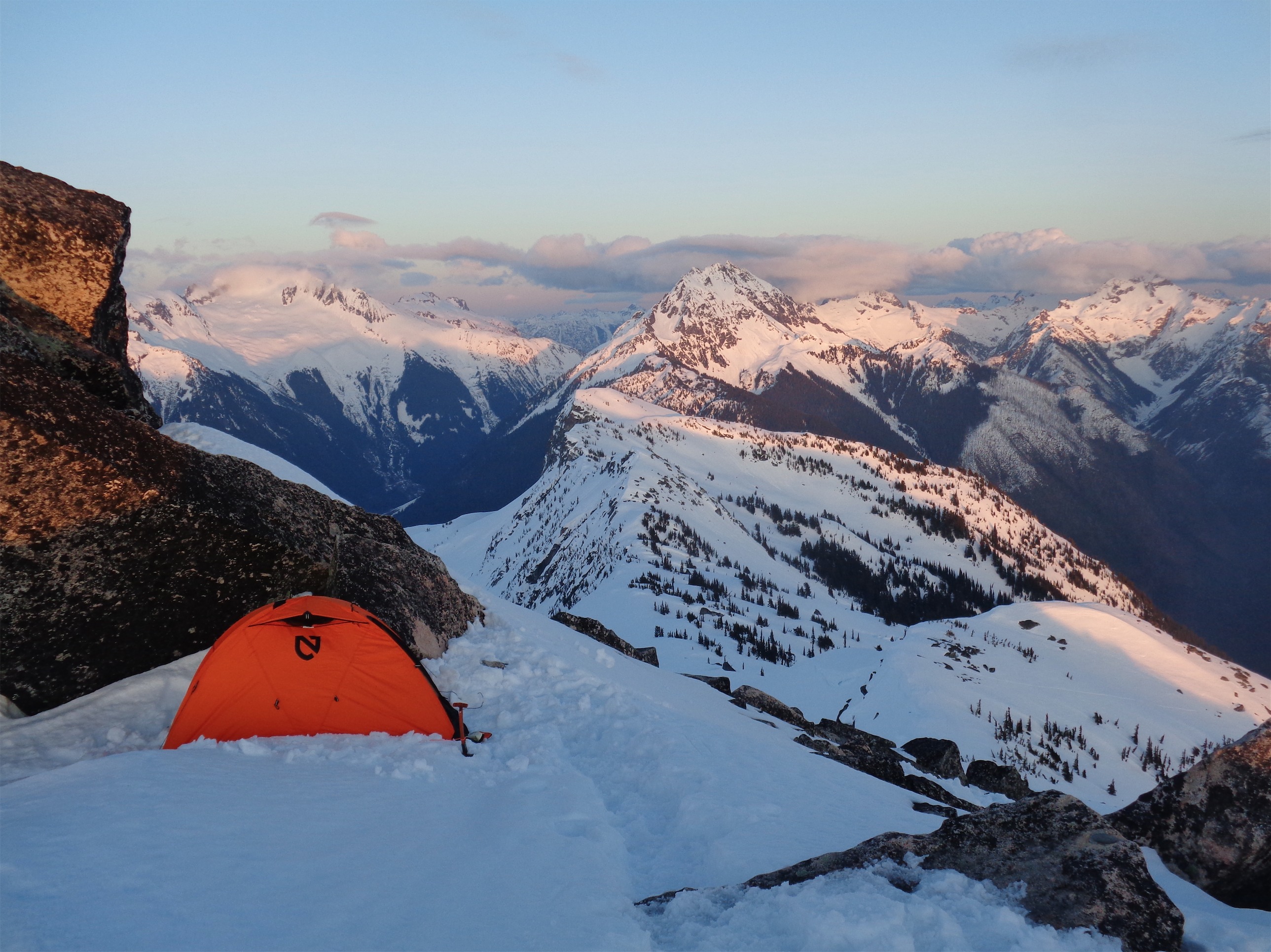
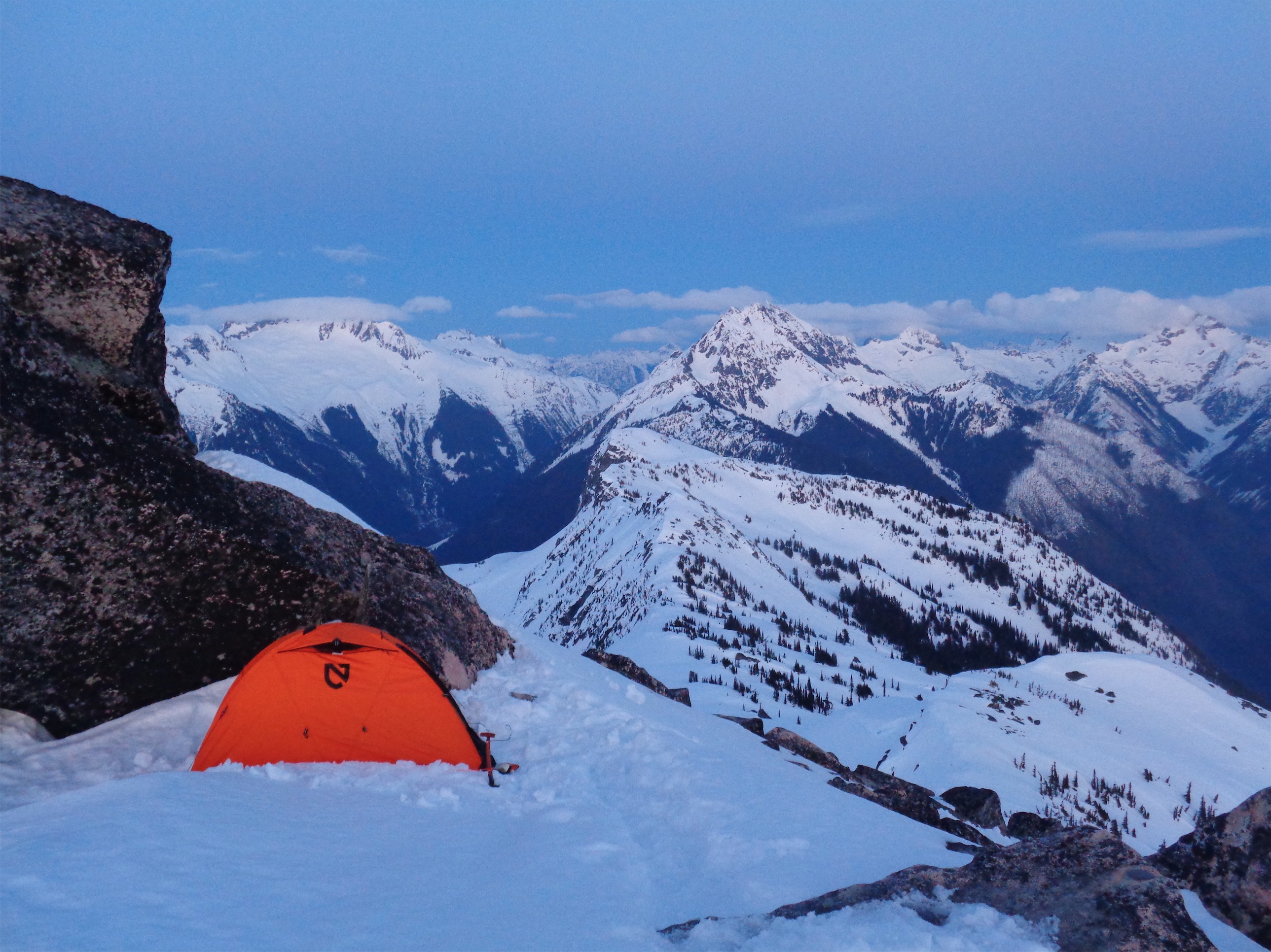
I pitched my tent, freaked out by the swarm of mice in the lookout. I hadn’t seen them or heard them, but supposedly they had kept everyone awake Friday night. I panic when I hear mice around my camping stuff, because obviously they must be chewing through my bag or my tent or my food or the foot of my sleeping bag and shitting inside of whatever they just destroyed with their tiny mouse teeth. I knew I wouldn’t sleep if I stayed in the lookout. Also, I like putting my tent in awesome places. i tucked it next to a rock hoping to help block some wind.
Probably too many
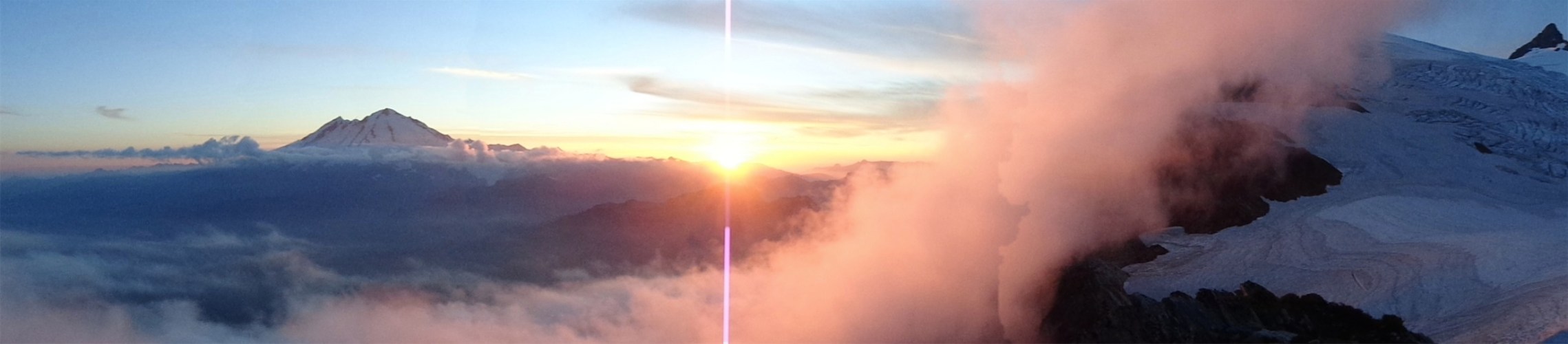
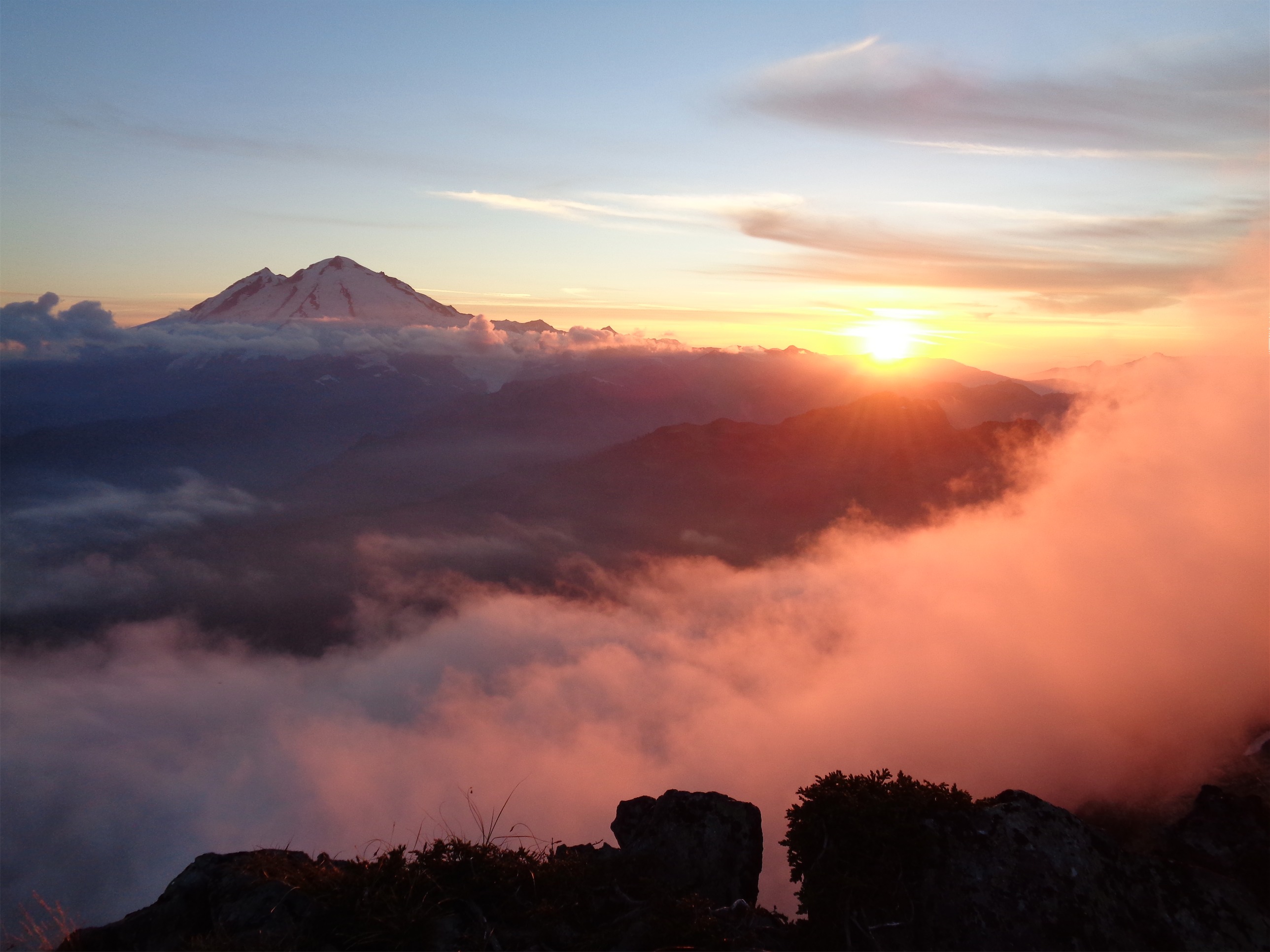
We ate dinner and waited for sunset. I had some Mountain House Chili Mac which I highly recommend (I mean it’s hard to screw up chili mac). Kacie and Cheryl fell asleep. Cheryl let out maybe three snores, which was enough for a not-quite-awake Kacie to mumble a not-quite-coherent “who why snoring ugh god so LOUD” which she claimed to not remember saying when we told her. Of course once sunset came, we all burst out of the lookout for a photo spree. There is nothing like sunset or sunrise in a place like that. I took over 200 photos. 5% are cool pictures of people, 10% are identical photos of the lake, 25% are my tent, and 60% are Eldorado in various stages of cloudiness.
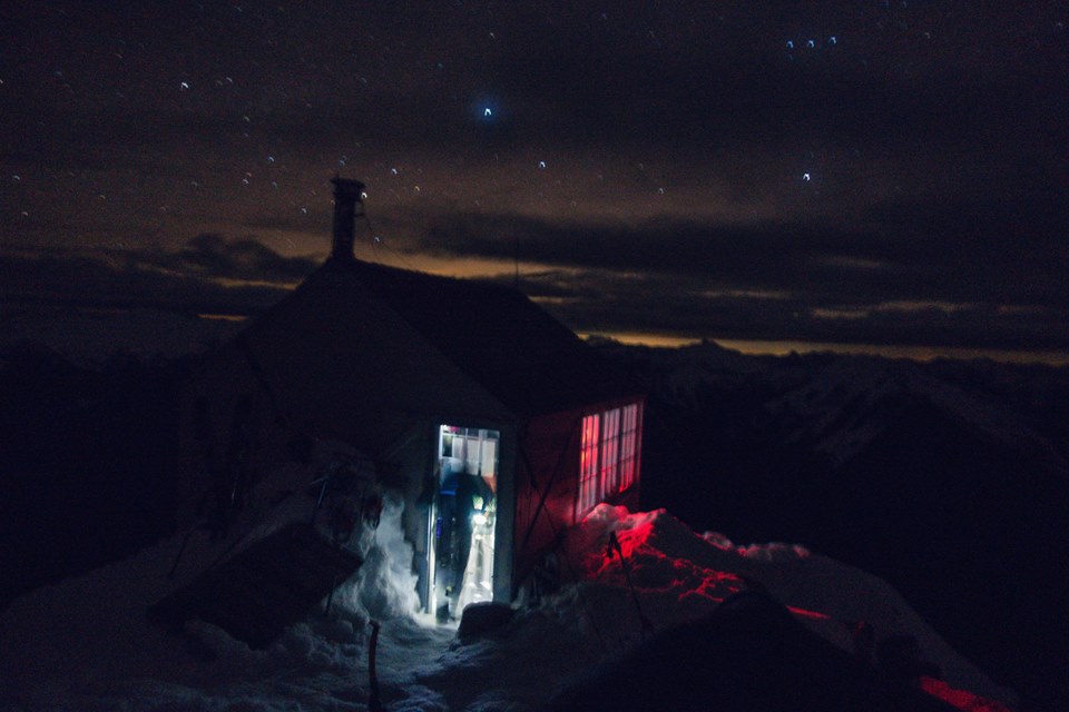
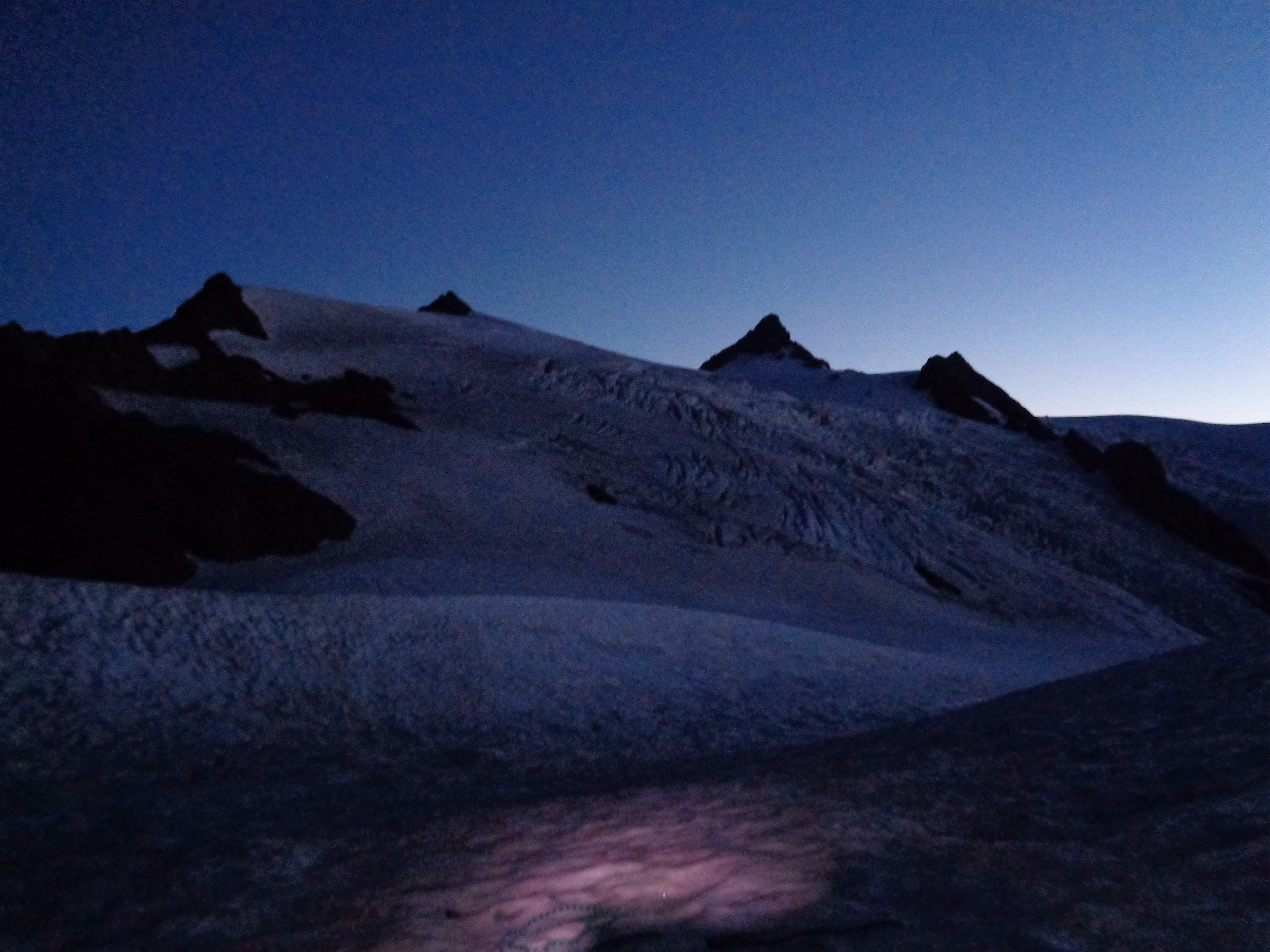
The lookout at night
(Photo Credit: Quinn)
After sunset we hung out in the lookout, boiled water so everyone could sleep with hot water bottles, Quinn took some night pics, and I was in bed soon after. Not as cozy as I thought. Should have brought my sleeping bag liner. I have generally lost any motivation to keep my toes warm in my sleeping bag. You eventually get to the point where you realize okay, they’re uncomfortably cold, but they aren’t going to get hurt, so I’ll just doze. And so I dozed, and had stress dreams about work. Who dreams about Bogs fucking up Nordstrom POs in the mountains?! Can’t my subconscious do better than that?
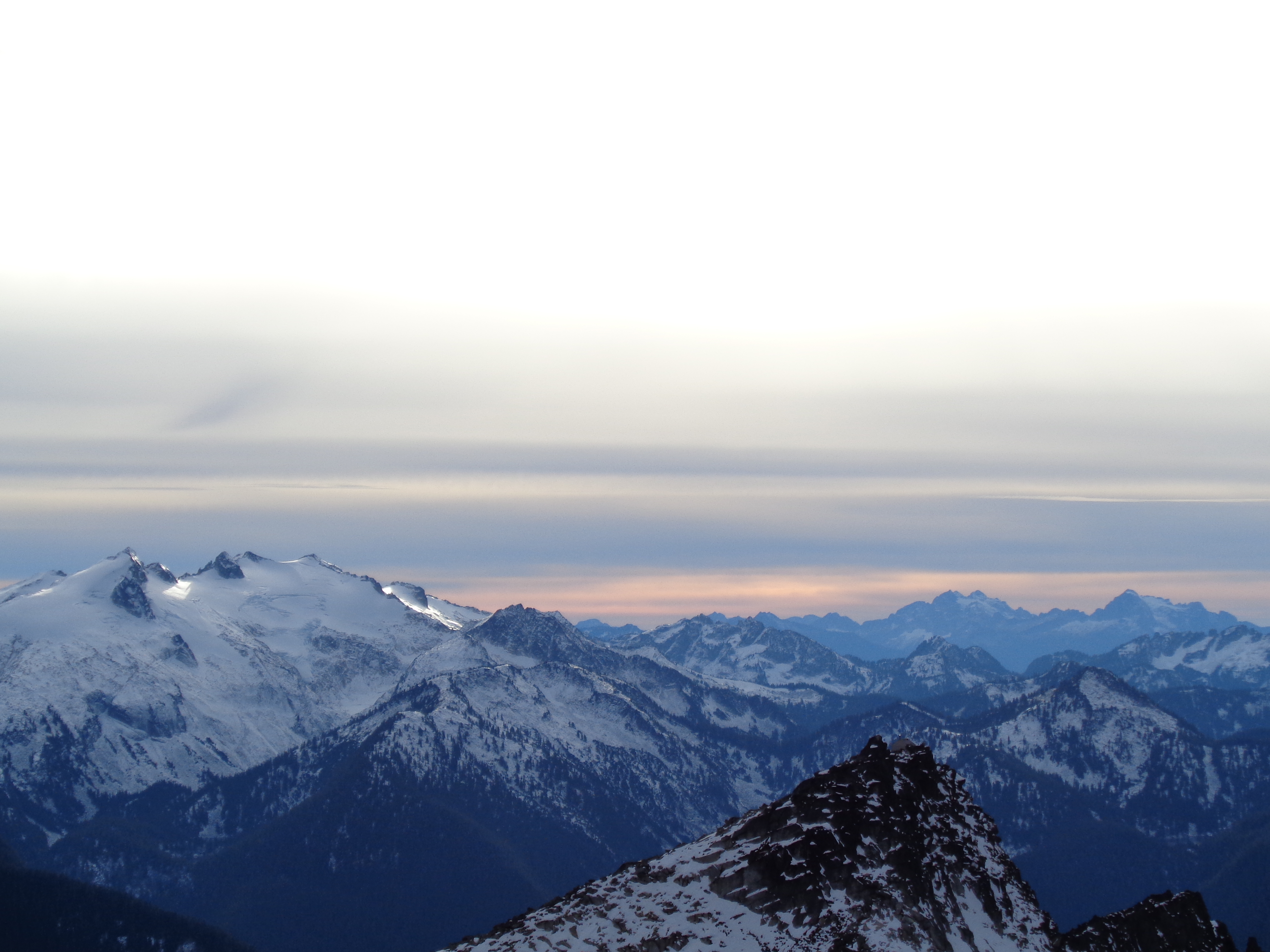
Admiring sunrise
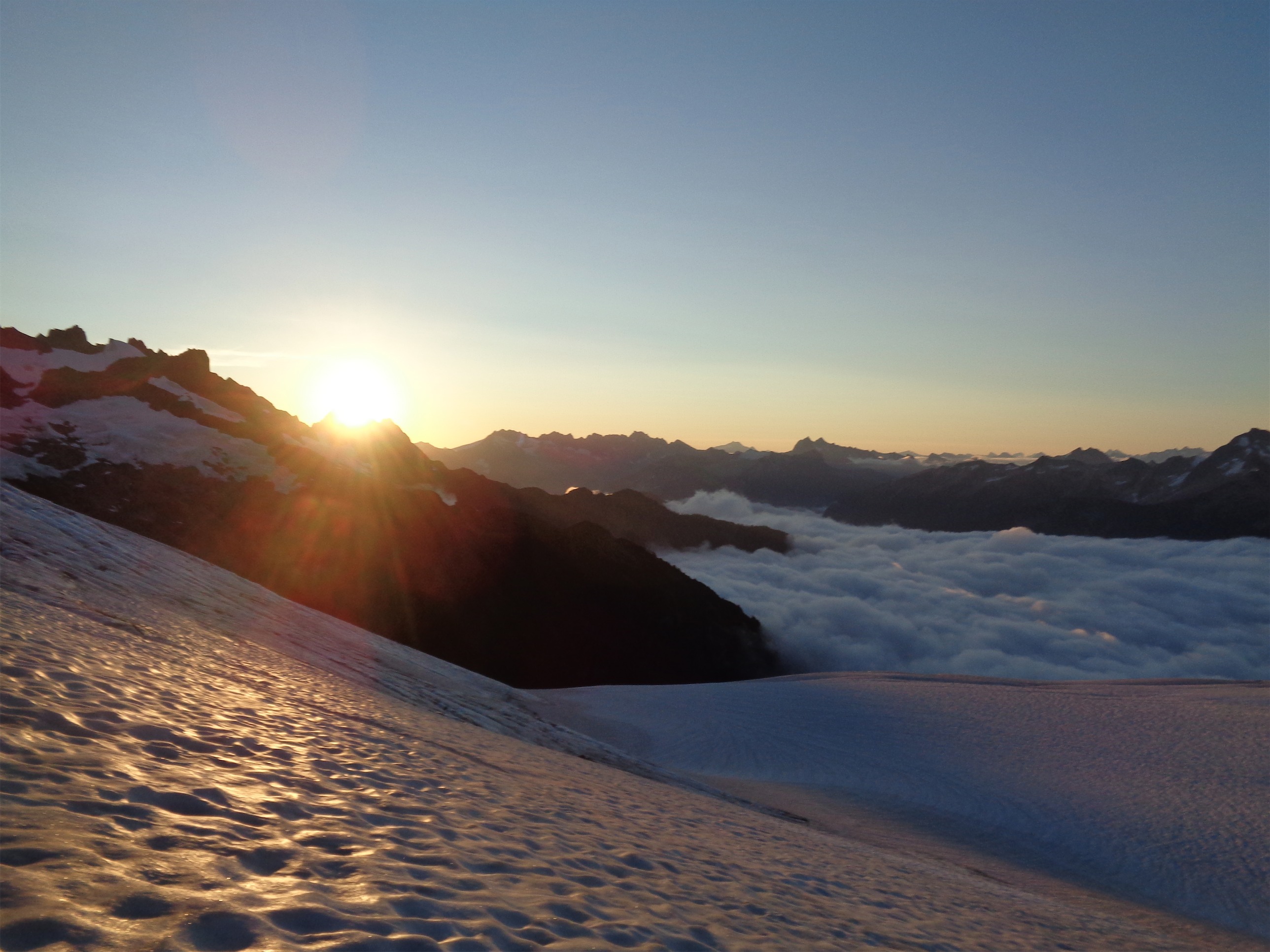
I had set my alarm for 6:30am, which was supposed to be 20 minutes before sunrise. Public Enemy woke me up, and it looked light outside so I frantically unzipped my tent and started snapping photos. Gabe (eventually renamed “The Gabe”) was standing on a rock overlooking the lake right there and I’m sure was less than pleased to see my bleary face squinting out at the light. I didn’t have contacts in, I put my boots on and ran around outside tripping and slipping all over the snow and ice in and out of postholes and obstacles I couldn’t see. But I got some cool pics and finally calmed down enough to put in contacts.
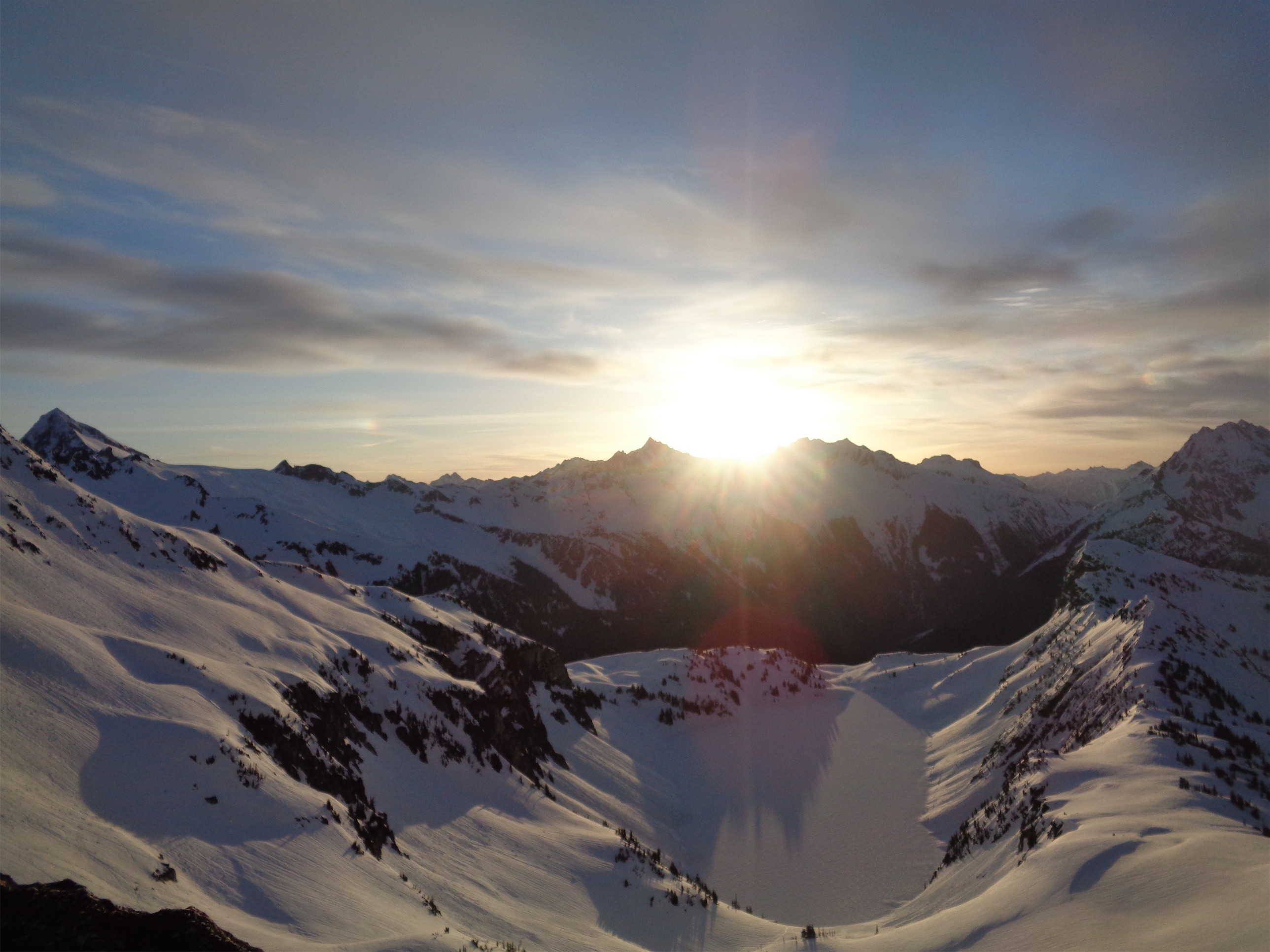
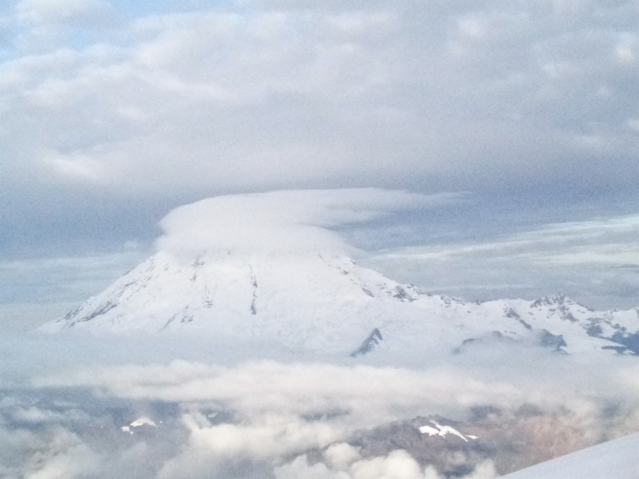
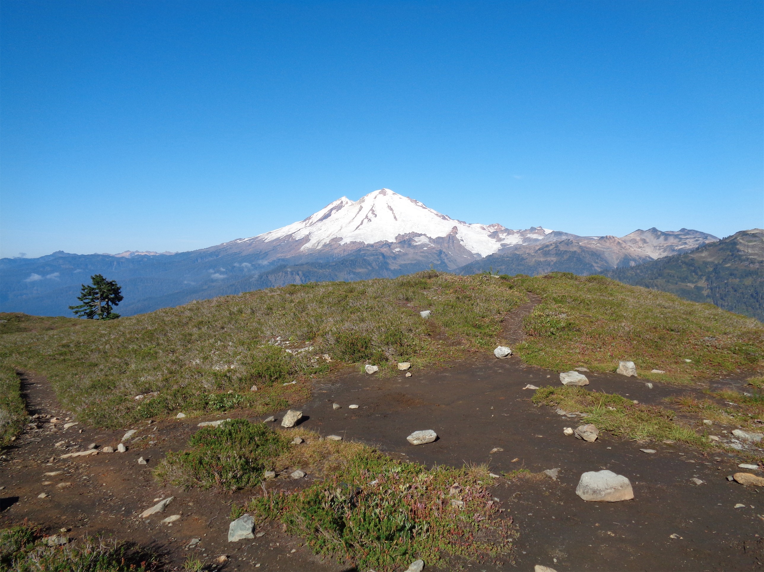
The fateful sunrise pic, featuring Eldoardo far left and Johannesburg far right
I had a healthy breakfast of Clif banana maple oatmeal (it’s actually delicious) and a double espresso clif shot. Breakfast of champions. I’m a morning person, and the last thing I need is caffeine. I ran up to stand on the big rock to get a good picture of the lake, finally nailed it (got Eldorado AND Johannesburg in one shot), and promptly dropped my camera off of the cliff.

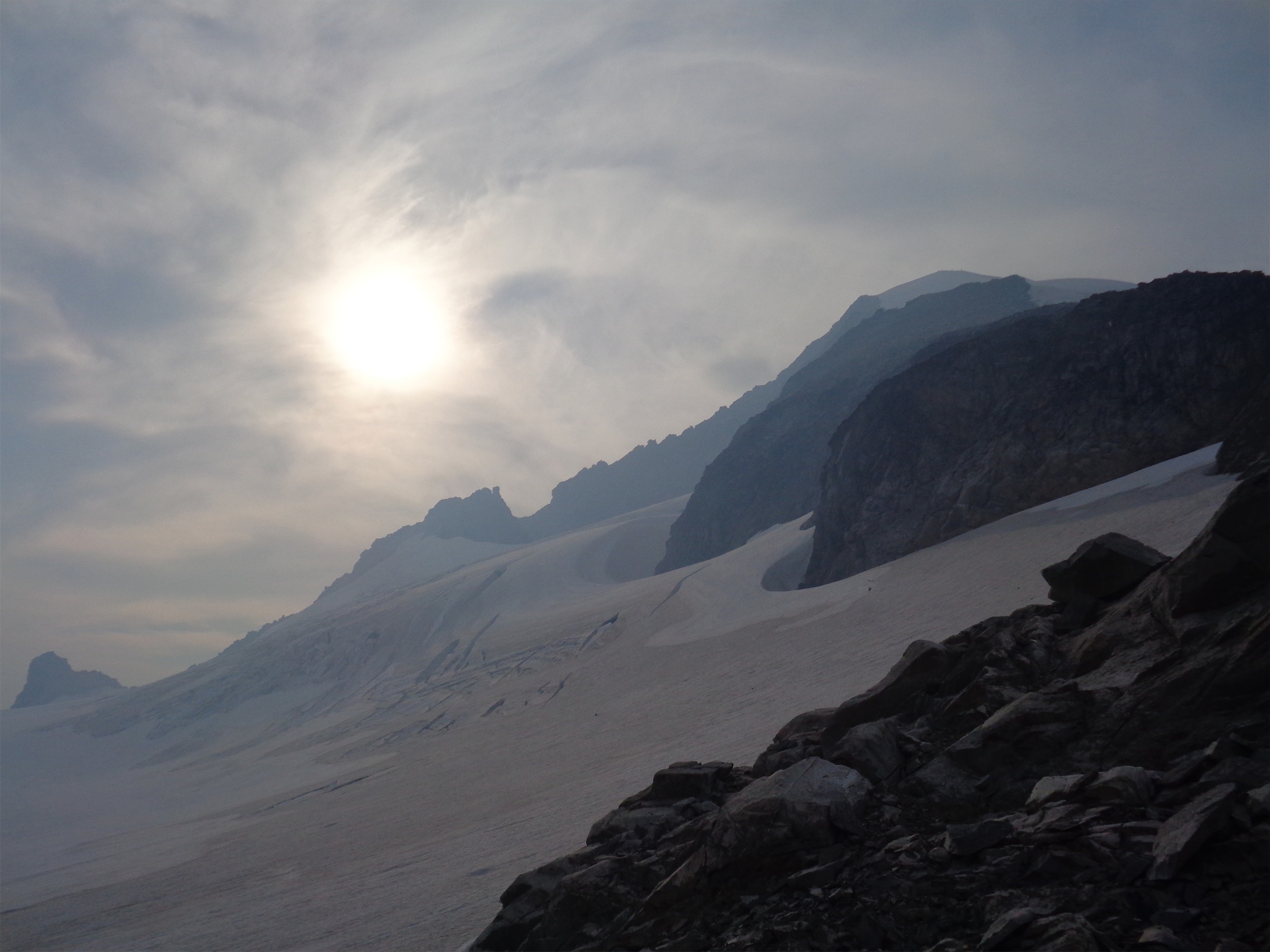
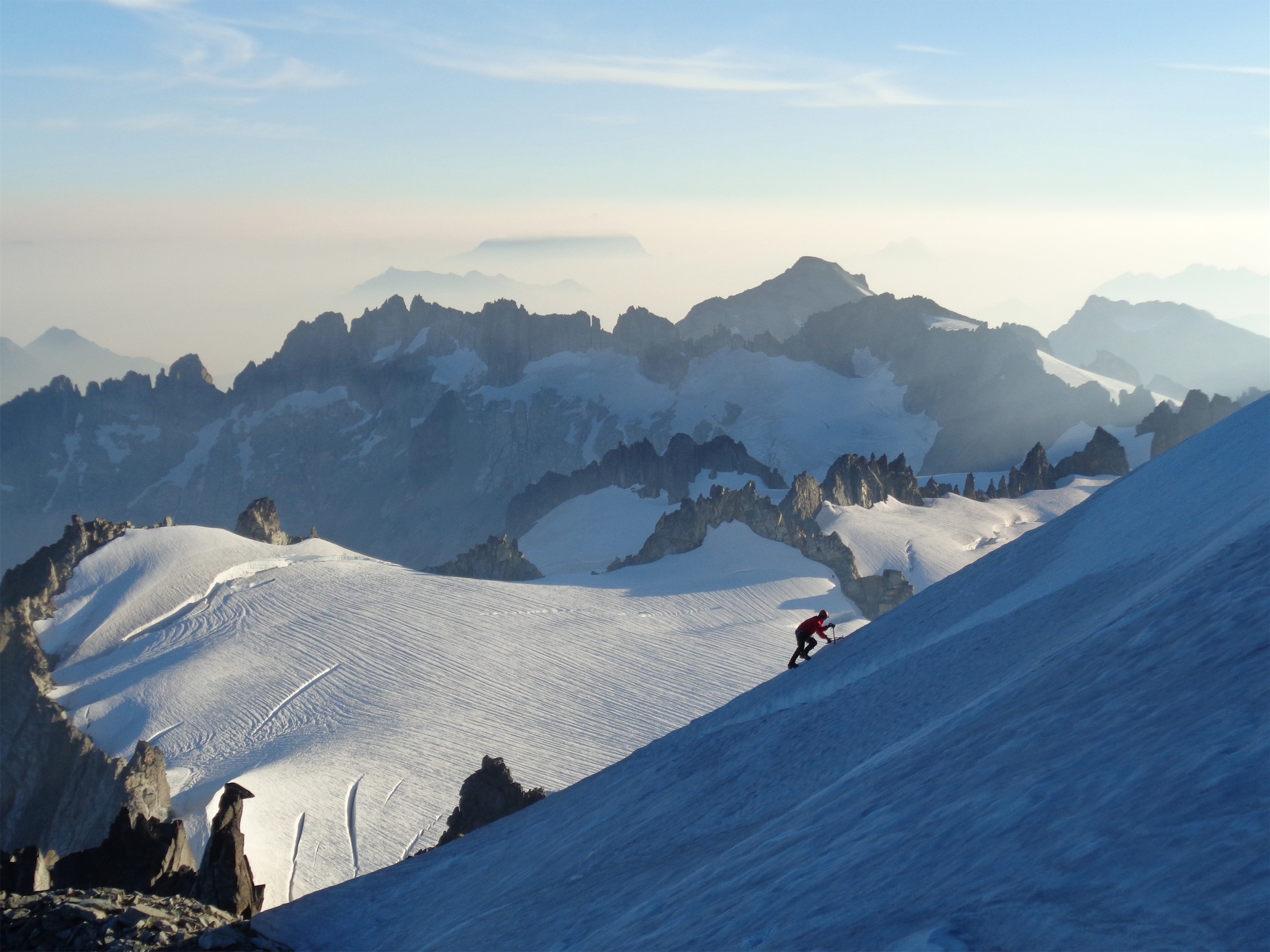
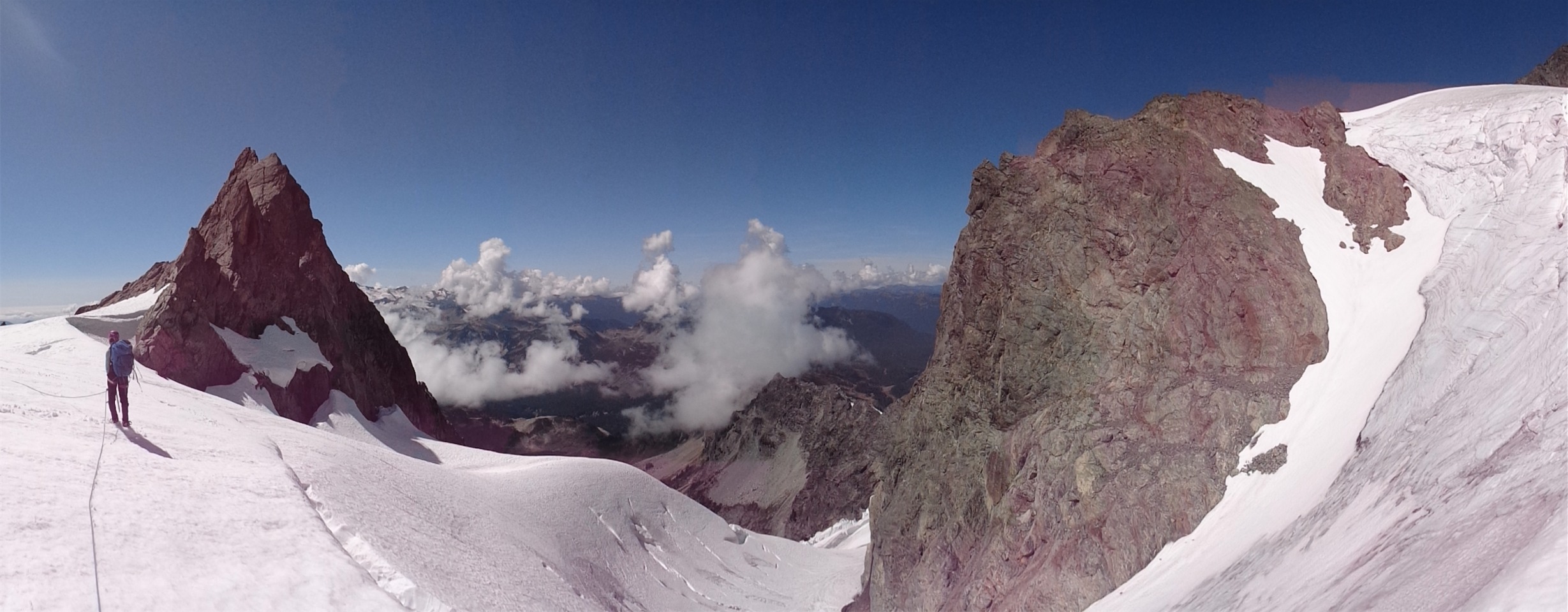
Looking across the traverse at the true summit (phone pic)
I somehow convinced most of the group to check out the true summit with me. Quinn had boundless energy, I knew he’d be in. Tony would want to ski down from it, so I figured he’d be in too. Cheryl and Dave I wasn’t sure, but they were in, and as soon as Kacie heard she’d have the lookout to herself, she declared she was opting out of the true summit and was going to enjoy having time to just be.
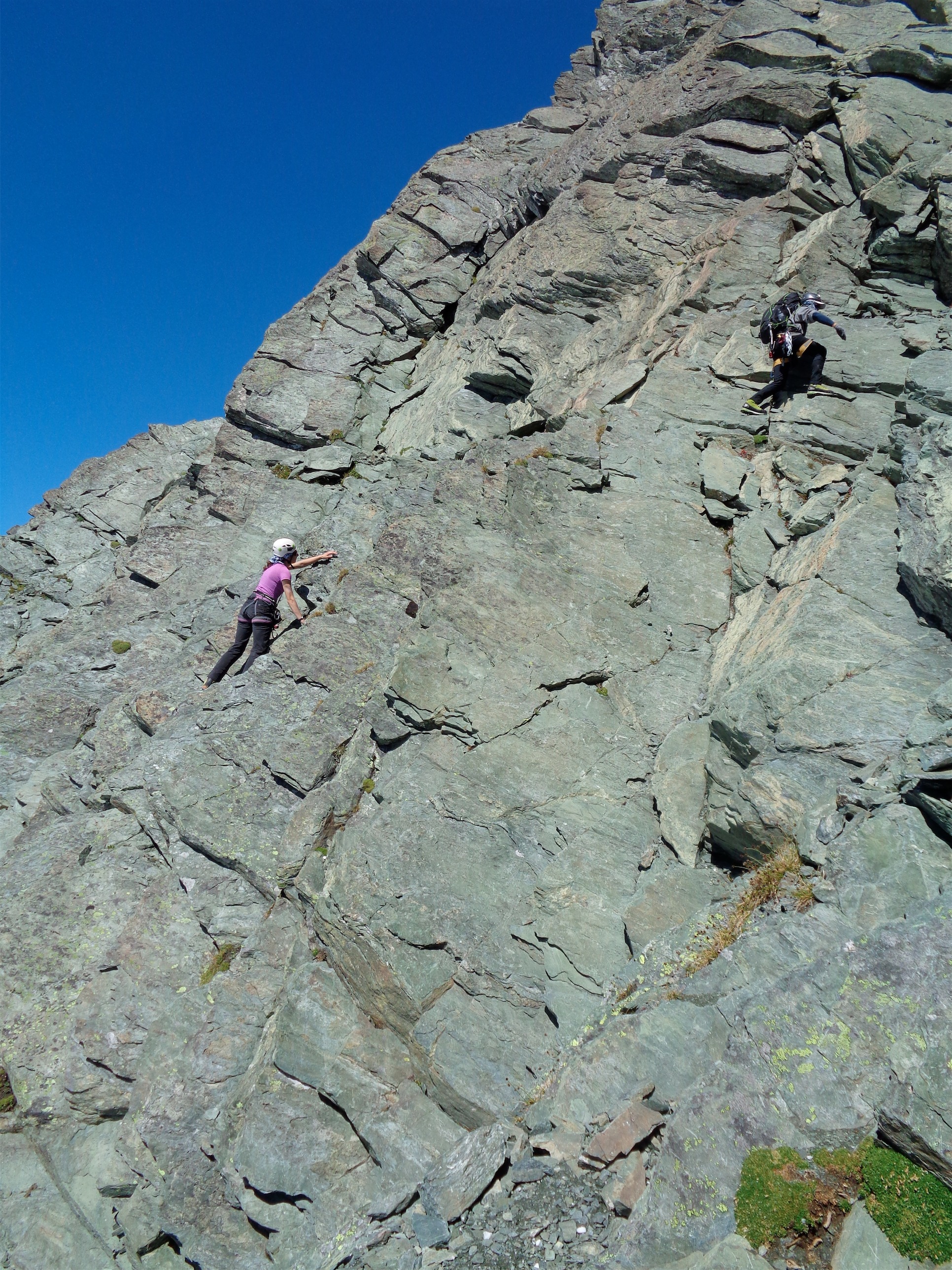
I decided on boots and crampons for the traverse on the way down. It was much more icy in the morning, and I’m very comfortable on almost anything in boots and crampons at this point. Skis, I’m like an awkward duck. Quack quack. Quinn and I headed across the traverse first, and went on Operation Camera Rescue while we waited for the others. I walked across in crampons and turned around to front point to drop down lower towards what I thought was the camera. When I turned around to front point, I realized Quinn was wearing microspikes. On a 60 degree snow slope. In light hiking boots. “Do you know how to self arrest?” “Well.. maybe, sorta.” I stopped where I was and laughed. What else can you do? We were just on snow, no rocks, so I mean… it wasn’t the WORST place to learn how to self arrest. I showed him the basic position and he kind of backwards hopped down the slope self arresting on his stomach. Hey, it worked.
Well what I thought was my camera turned out to be a stick. You’ve got to be kidding me. I was pissed. All I needed was the memory stick! I debated going lower to check out a small black patch, but it was probably just another branch, maybe I should climb up and check the rocks above us. As I was traversing back to our starting point, I saw a shiny square. Something metal. Something metal, labeled with bright red letters. “SONY” it said. Sony! Yes! Battery!!! Ahh! I snagged the battery and looked directly below it at the black patch. That HAS to be the camera. Or pieces of the camera. Shattered dreams. I front pointed extra quick to drop down to the camera (too icy to glissade, I prefer my tailbone intact) and there it was! Scraped, dented, but memory card intact, and the craziest part is I put the battery in and turned that fucker ON AND IT WORKED. I was like soccer announcers celebrating a goal. In my head I was running around with both hands in the air “GOOOOOOOOALLLLLL” but all I could was awkwardly front point and stumble over to where it was mellow enough to run back to everyone.
To the true summit!
Dave and Cheryl were down from the lookout and ready to go. Tony realized he left his ski crampons at the lookout and we waited another 20 minutes while he went back up to get them. I debated between leaving my stuff at the saddle, or bringing everything and skiing down. I thought I saw some easy slopes, and again, who was I kidding I had to try it. I hadn’t used these skis downhill at all yet, they’d been training weight and glorified snowshoes for the past few months. It was time.
We skinned almost the entire way, but had to take the skis off for the last few feet below the summit. I stuck them back on my pack because we had some steep ice. Too lazy to don my crampons, I kicked myself a staircase through the crust. It was an exhausting 15 vertical feet. Balancing with 55lbs on your back kicking steps thrice with each foot because one kick isn’t hard enough to make a full step and you don’t have your axe out to arrest with so if you slip you’re just toast. But we pulled ourselves up onto the summit and spent probably two hours taking pictures and relaxing. Everyone needs a pleasant summit once in a while.

The lake from the true summit. Johannesburg, Hurry Up, Spider, Formidable, Old Guard, Sentinel, Dome, Glacier, and I’m forgetting a few in between

PEANUT
The snowshoers headed back first, and Tony and I hung out with two skiers and their adorable dog Peanut, who was in doggie heaven. When he dies he’ll go right back to that spot. He was flopped over in his owner’s arms while she scratched his belly and his tongue lolling out one side of his mouth. She’d stop and he’d just lazily nudge her with his paw, half asleep, “why’d you stop??” They had set up camp at the base of an avvy slope in the Sibley Creek drainage we had avoided when they saw a huge avalanche on a slope that they thought was done sliding. Be careful no matter how it looks, folks. We spent a while chatting with them and schmoozing with Peanut before deciding it was time to head down ourselves.
I booted it down those first 15 feet to where the slopes were easy. Green circle slopes, get at me. I kept the skins on like training wheels. The first two or three turns were about as awkward as you’d expect. I had a slow motion fall, and once that was out of the way, it was all better. I actually made a few decent turns. Big, slow, snow-plow turns. Hey, you gotta start somewhere. My quads were on FIRE. Which this morning I realized probably wasn’t me being “out of shape” as much as it was the 45lbs on my back. I’d make a turn or two and have to stop and move my legs to relieve my quads. Skiing muscles are a thing, apparently. A thing I really need to develop. I’ll start doing squats and wall sits at my standing desk.

Coming down the bunny hills with a sun halo (Photo Credit: Tony)
Tony showed me a video of myself at dinner after the hike. I burst out laughing. In my head, I was going so fast and turns were crazy because I’d go even faster for a split second as I pointed directly downhill briefly until I completed the turn and dug in my edges. And Tony’s video was like watching a slow motion skier showing how to do the pizza. One inch a minute, perfect snowplow, cautious timid turn. But you know what? It’s still faster and way more fun than snowshoeing or hoofing it. And there’s nowhere to go but up(down?)! Huge, huge thanks to Tony for waiting for me three or four times while I inched my way down the slope. It was freaking awesome and I can’t wait to do it again. I’ve got the skiing fever.

One more because I’m proud (thanks Tony!)
We beat the snowshoers to our meeting point by a few minutes. We thought they might be ahead of us since we spent so much extra time on the summit, but the tracks were old so we knew they hadn’t come through yet. We hung out there for a bit once the whole group joined, giving Tony enough time to build a snowman. I swapped skis for boots since I wasn’t sure I could handle the forested section (I think I could have done the beginning up high where it was still wide enough) and started the postholing journey down.
Postholing isn’t bad once you’re in a rhythm of postholing. It builds character. The worst is when one foot sinks two feet and the other only sinks a few inches. Or when there’s a crust that occasionally holds but most of the time fails. If it’s all evenly deep powder, it’s doable. I trailed the snowshoers, giggling when they slipped or fell, embracing the misery of postholing. Tony had disappeared into the trees on his skis. I just plunge-stepped slowly down the slopes. It’s awkward to fall when you have skis on your back. Don’t risk it.
One more of Eldorado
We were down in a little over four hours. Back at our cars I had a half lb of cheddar cheese, Tony had pretzels, and Quinn donated some beef jerky. Perfect smorgasboard of post-hiking snacks. Oh, and Rainier beer. Yes.
On the way out, we stopped at Train Wreck in Burlington for dinner. It’s not quite on the way back to Seattle if you take rt 9, but it works if you take i5. And it’s worth the extra few minutes. I recommend ordering several plates of cheese curds and whatever burger has the pico on it. Or the regular burger and add avocado and cheddar. Just make sure you get lots of cheese curds, because they were the best curds I’ve had since I moved here from the Midwest. We also discovered that Kaliber is a great non alcoholic beer (made by Guinness, apparently) – Dave had been talking about it for the whole trip and the waitress totally lowballed the delivery. “We only have Kaliber, sorry…” as our faces all lit up “Yes!! That’s what we were hoping!” and did I mention the cheese curds? Next time I go I’ll just get three plates of curds for myself and nothing else. Maybe five plates of cheese curds. And a Kaliber.
One last look at the lake
Drove home, hit traffic at exit 190 because you can’t drive around the greater Seattle area without it even at 9pm on a Sunday, and eventually pulled into my parking garage, surprisingly wiped. Showered, straight to bed. I had a pound of buffalo chicken at 9am the next morning because I was ravenously hungry at work. That’s recovery right there. Gorgeous, successful weekend with good company, and I think everyone got to expand their mountain horizons whether it be the dicey traverse, learning to self arrest, or showing off their recently perfected pizza slice on their new favorite toys.
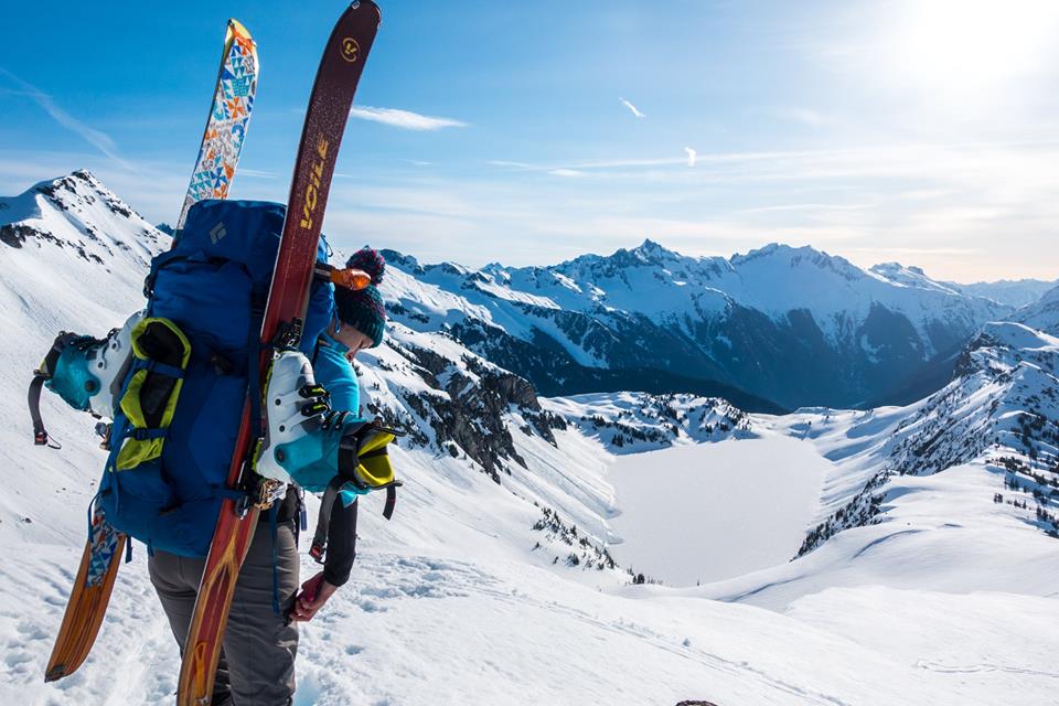
New favorite toys (Photo credit: Quinn)