

Day 1: Spickard and the approach to Lake Ouzel can be found here
We woke up around 5:30 or 6am and got moving around 6:30. We expected a shorter day than the prior day, but given the two peaks took Steph Abegg 8hrs, we figured probably a nice round 12hrs for us. I forgot how freaking fast she was. Scale it down for us plebs.
- Distance: I have no idea 😦
- Elevation: ~5000ft gain
- Weather: 50’s and sunny changing to cloudy
- Commute from Seattle: 3.5hrs depending on the border crossing
- Did I Trip: Actually, I may not have tripped this entire day… miracles happen

Beta bullets:
1. Snow helps
2. We used a LOT of beta from Steph Abegg’s report here
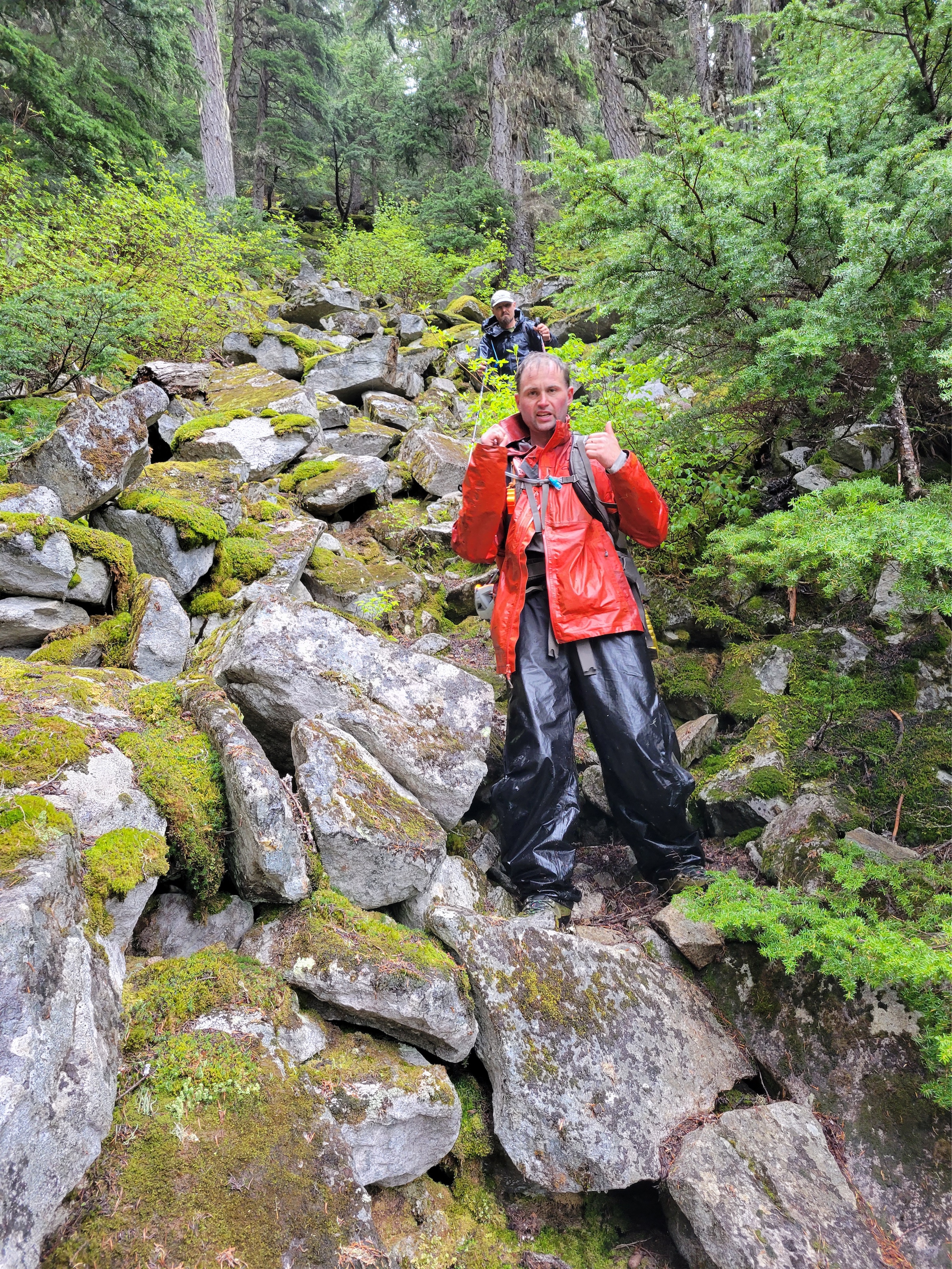
3. We took the far right 3rd class ramp to get through the rock band on Rahm. Loose but mostly covered in snow and not too bad.
4. Custer’s south ridge is WILD on so many levels, both good and bad. Don’t panic, it goes, and the exposure is done after the lowest point. The alternative is losing like 700ft of elevation to drop into the basin southwest of Custer and boot to the top.

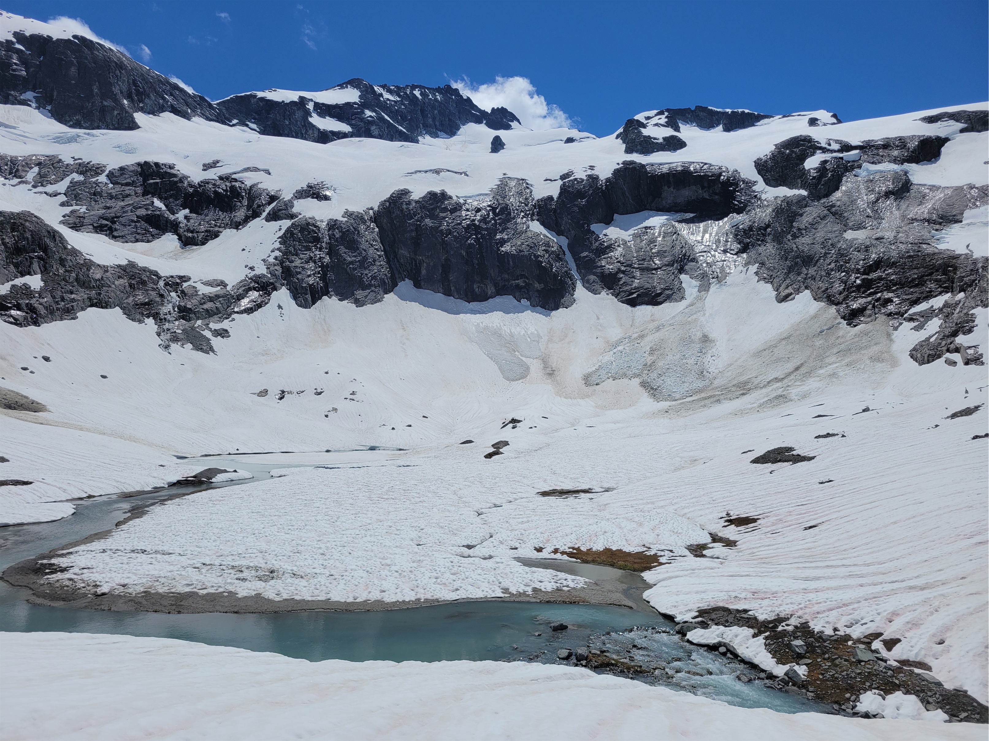
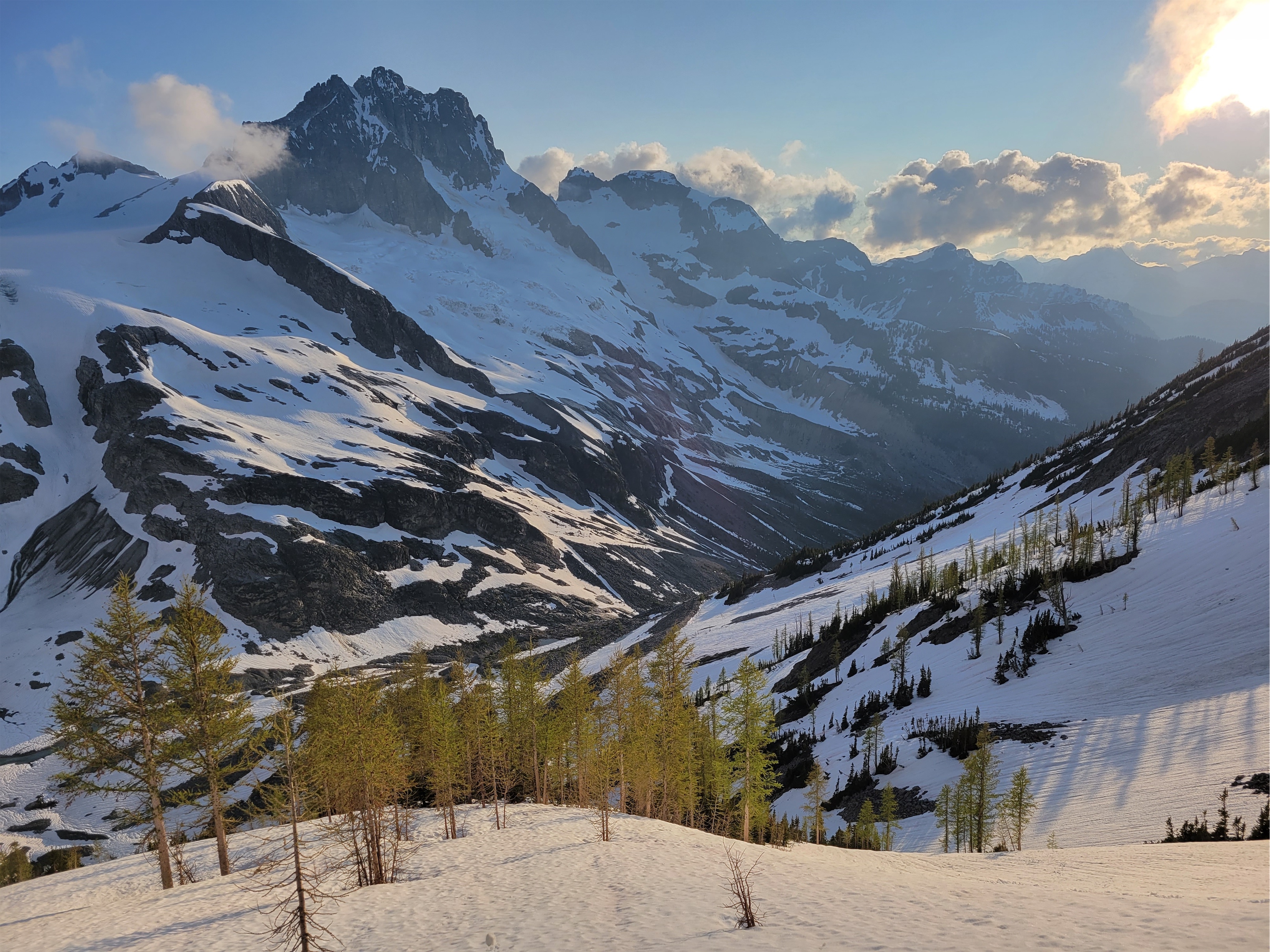
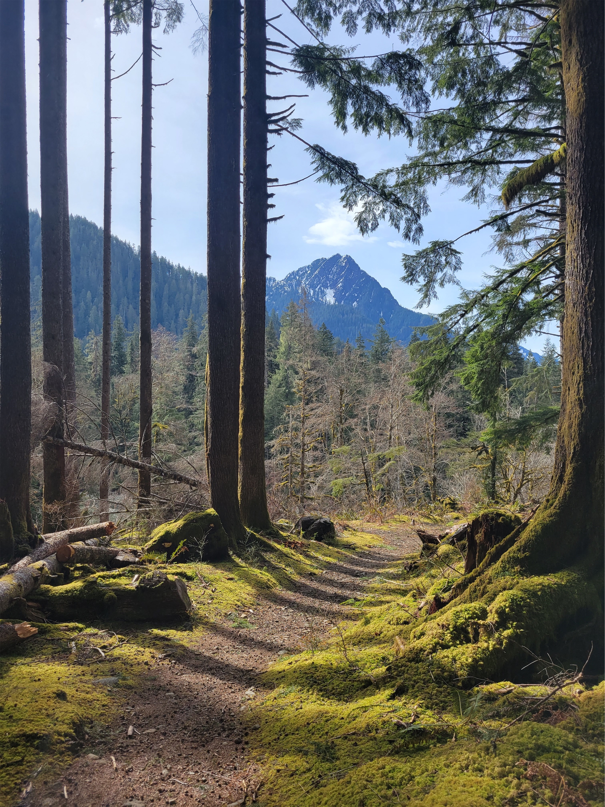
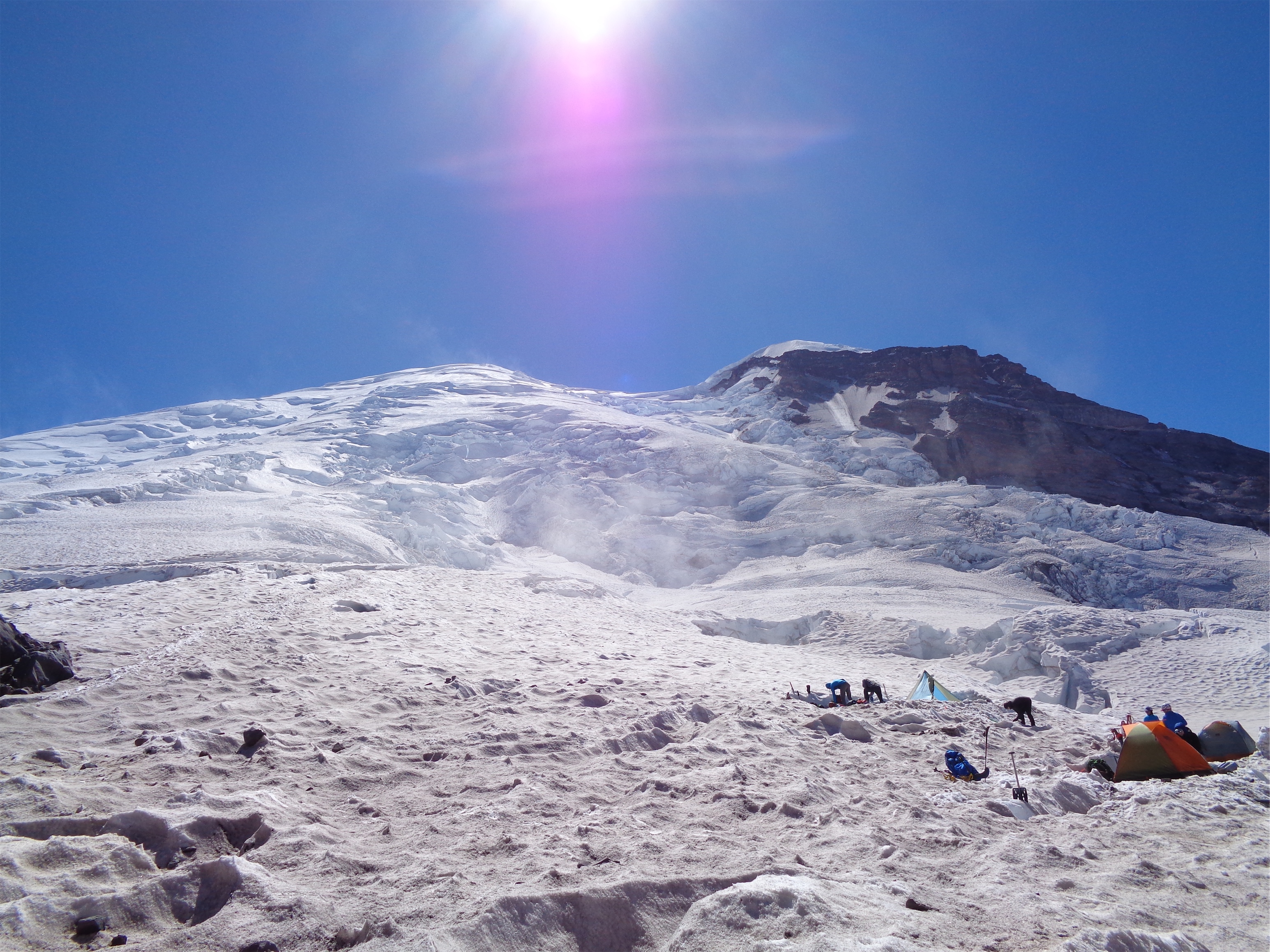
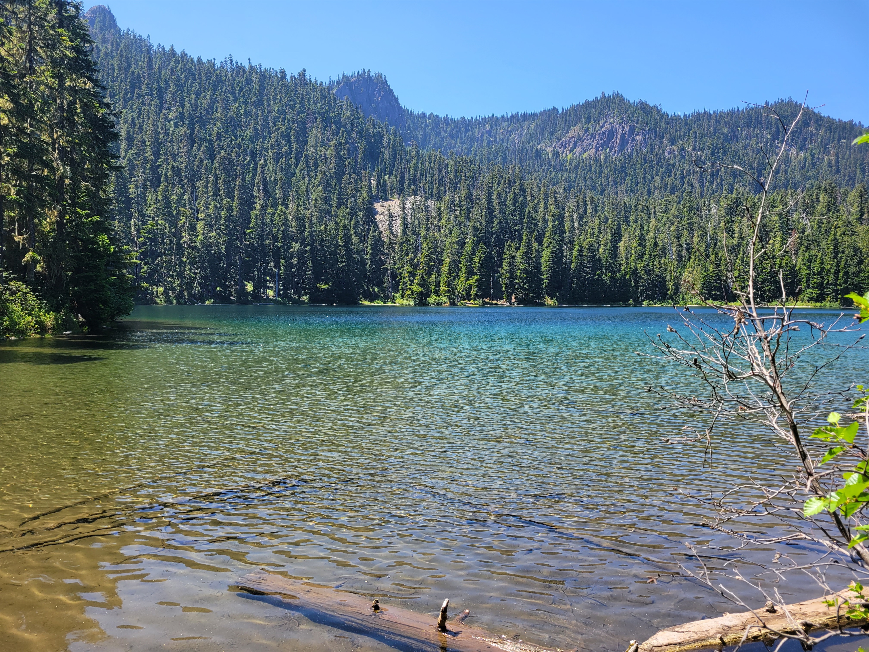
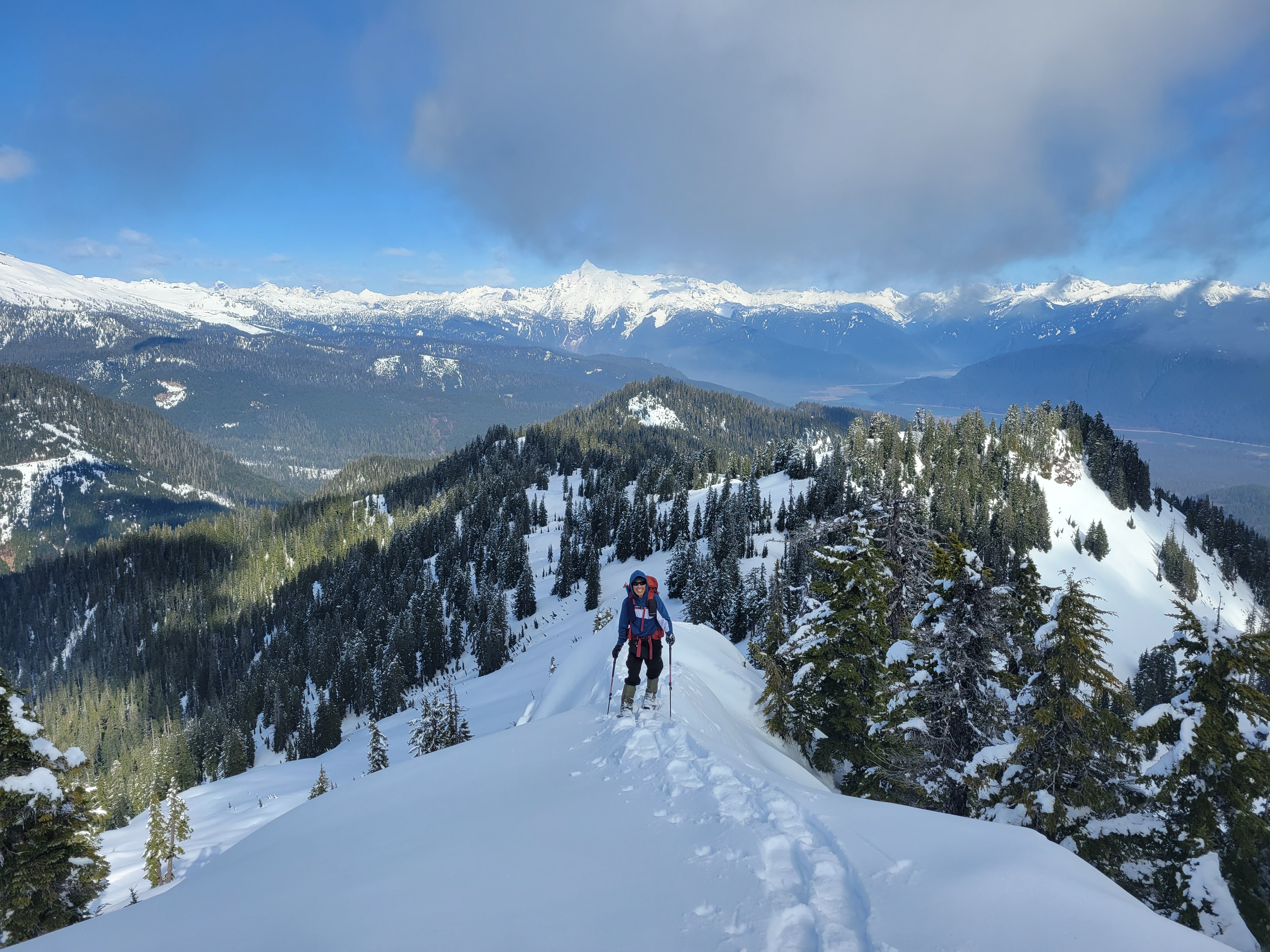
We got moving around 6:30am, headed up to the col between Silver Lake and Lake Ouzel once again. Snow was already soft enough that we didn’t need crampons. This time, we went all the way to the top of the col, where we found melted out talus and took a breakfast and bathroom break in the sun. I marveled at the sky. We knew the forecast called for storms, but that’s so hard to imagine when you have a clear blue sky. I also ate my last pb&j disaster rollup. It was very sad. They were delicious. The worst part of delicious things is when they are gone.

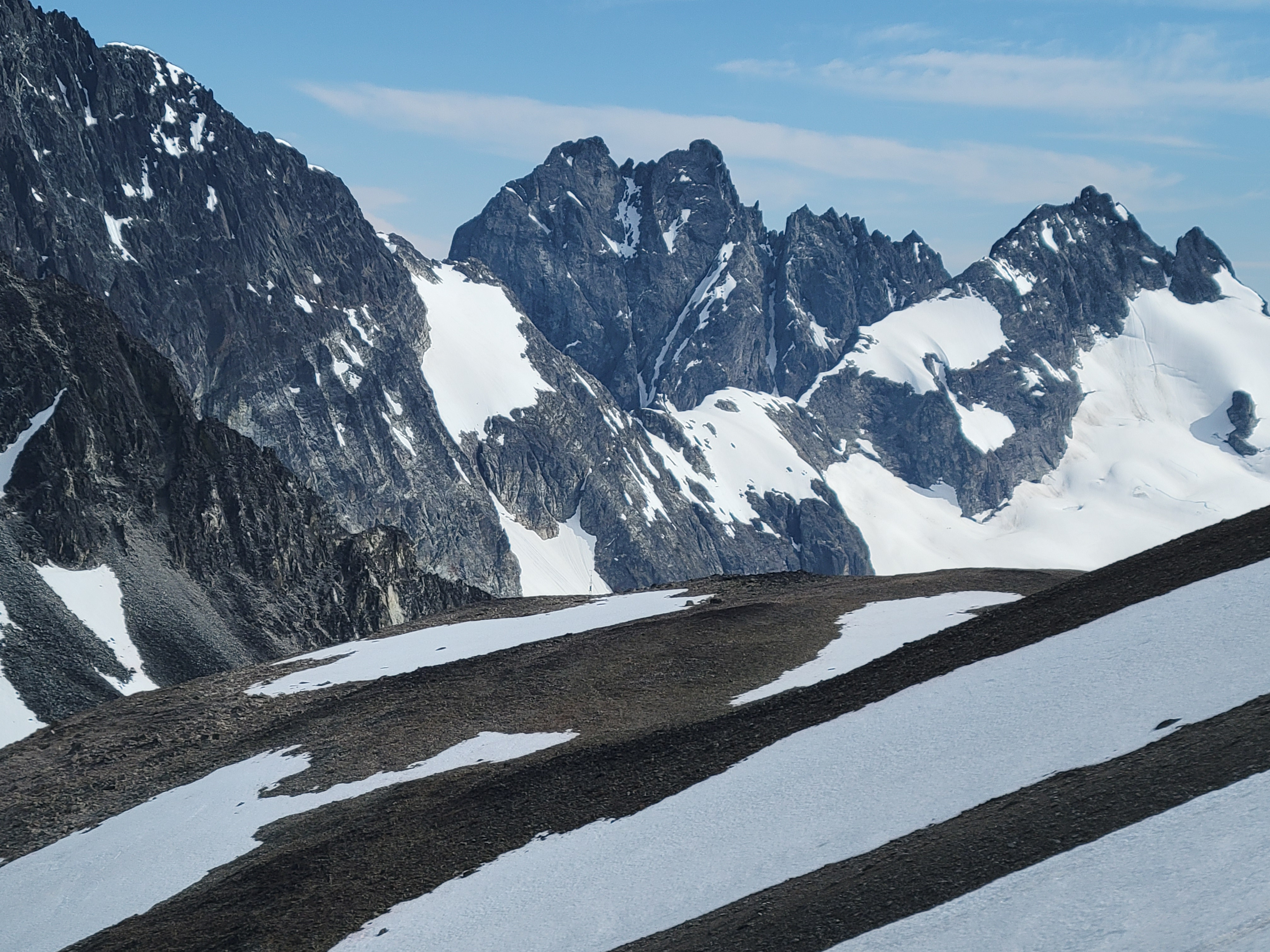
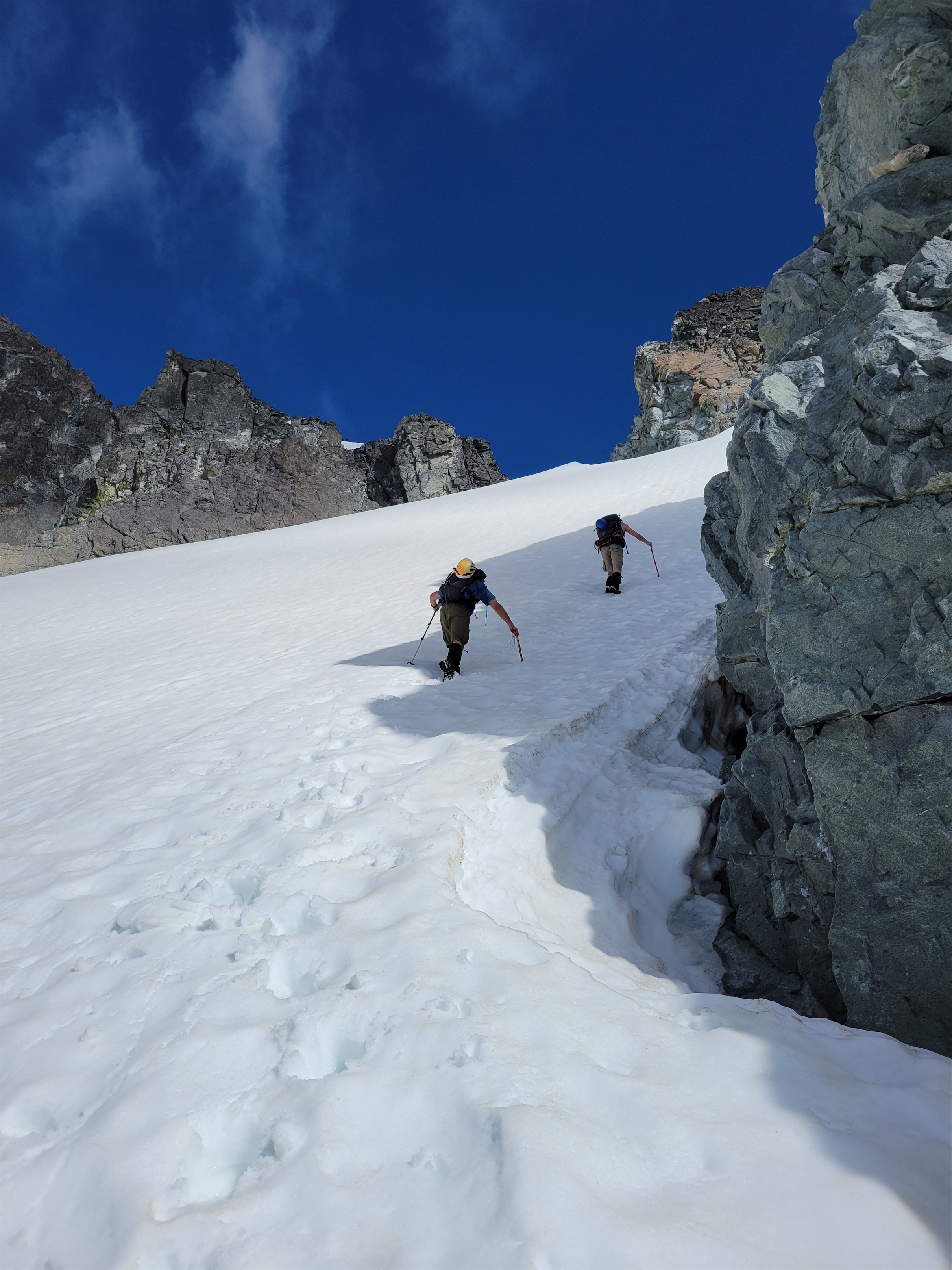
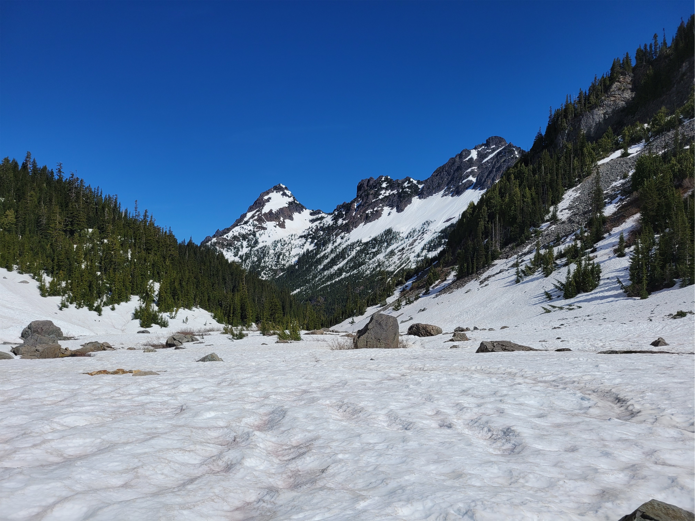
From the col, we immediately crossed a steep snow traverse. I wore actual mountaineering boots this day instead of hiking shoes, and I was glad I did. The traverse quickly mellowed out, and the rest of the way over to the rock band on Rahm was actually uneventful. There were a few streams of running water, but for the most part, we were just walking a very tame snow slope hiding miles of talus from us. Feathery clouds moved in, usually a sign of rain in the next 24-48hrs. And so it begins. At least I wouldn’t get sunburned?
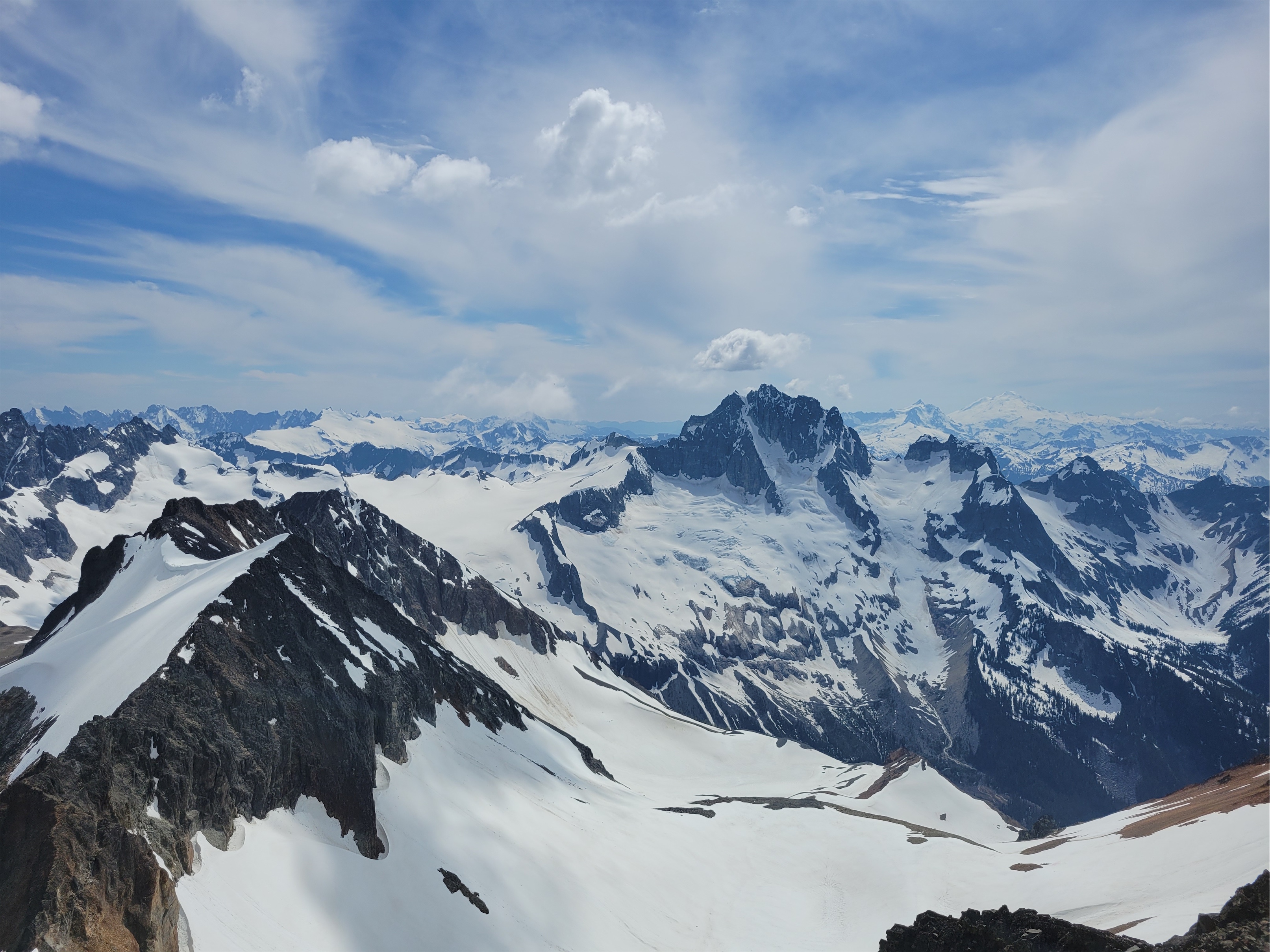
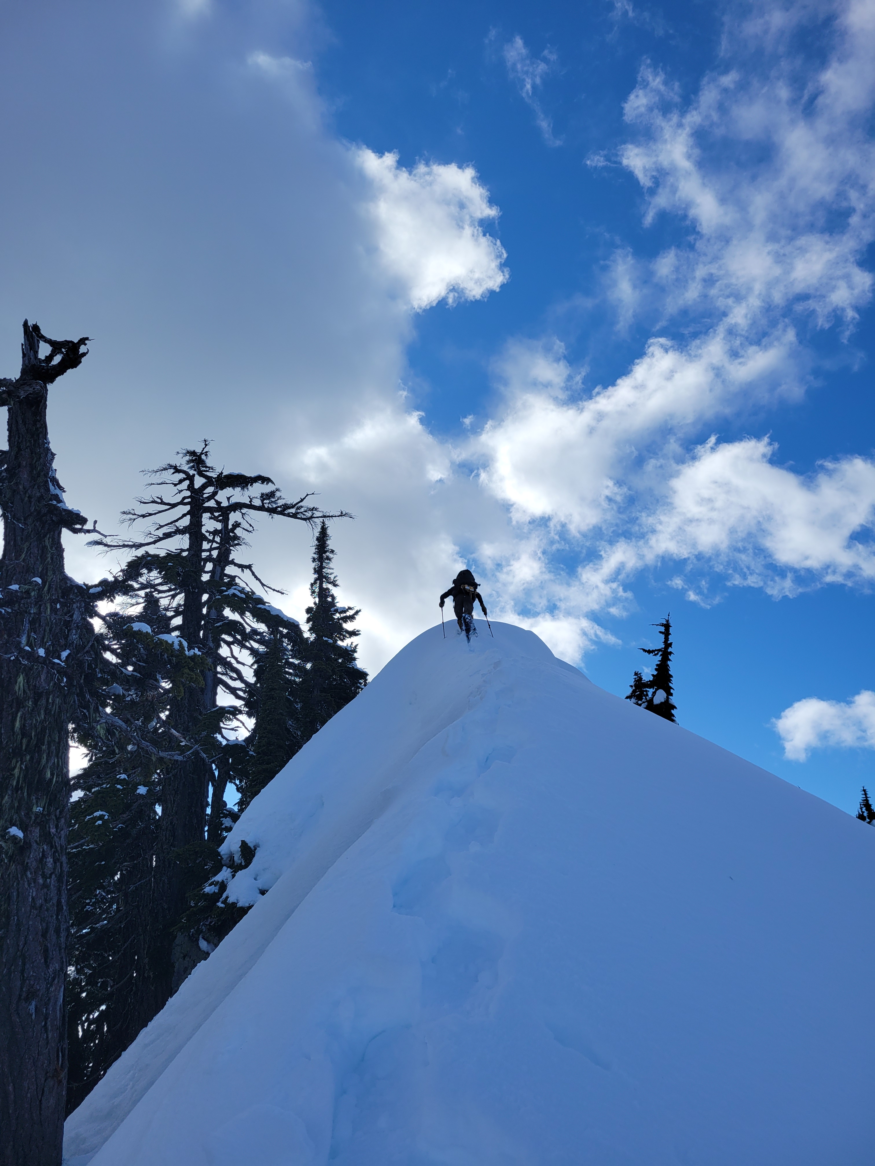
At the rock band below Rahm, we took the far right gully, which is 3rd class. The other gully options had goats above them, unceremoniously kicking down rocks i can only assume were meant to mock us. In the goat free gully, we just had to hop over a chockstone (three people, one chockstoke, three variations of moves!) and it was moderate snow to the top of the gully. Above the gully, it was moderate snow to talus, and then a talus walk that felt like it took forever until we were on the summit. We deliberated which summit was the true summit before deciding you know what, the east summit is marked on the map and has the summit register, so let’s call it this one. Rob took out the summit chocolate(!) and we had a short celebration before facing a decision.
We were originally looking at the ridge traverse between Rahm and Custer, but we had three possibilities talk us down:
1. The ridge was a terrible mix of knife edge rock and melted cornices (where the cornice is somehow hanging on despite being almost entirely melted)
2. Custer looked terrible from Rahm. Terrible.
3. It would really suck to be on that ridge in any sort of storm
4. You can’t bail once you’re on the ridge besides retracing your steps.
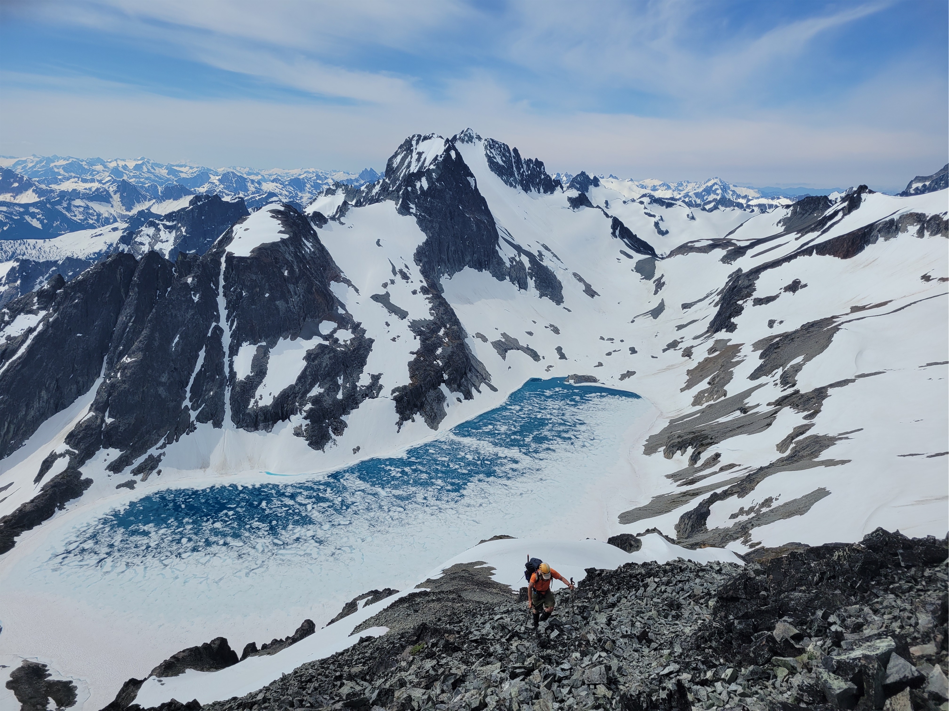

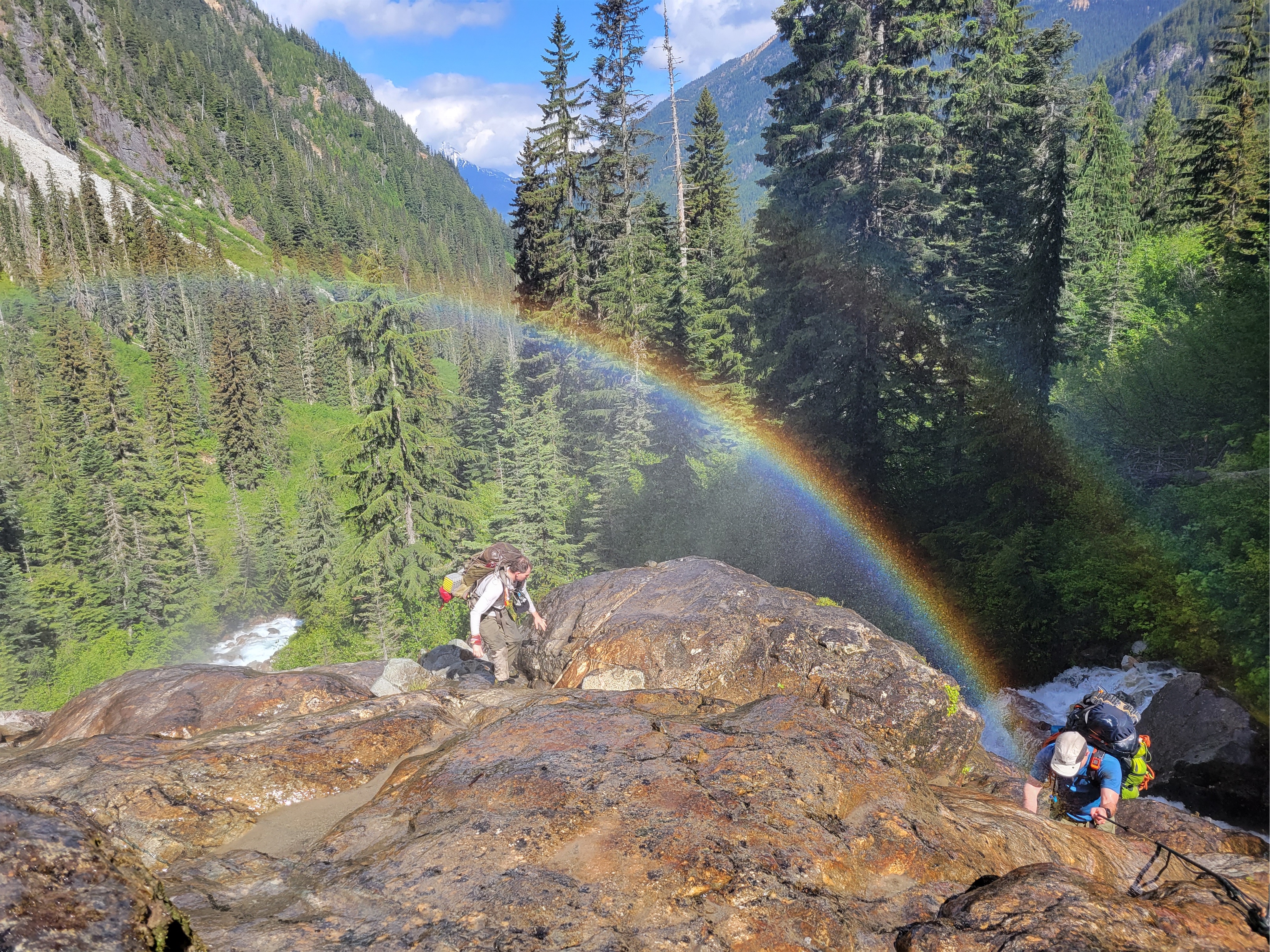
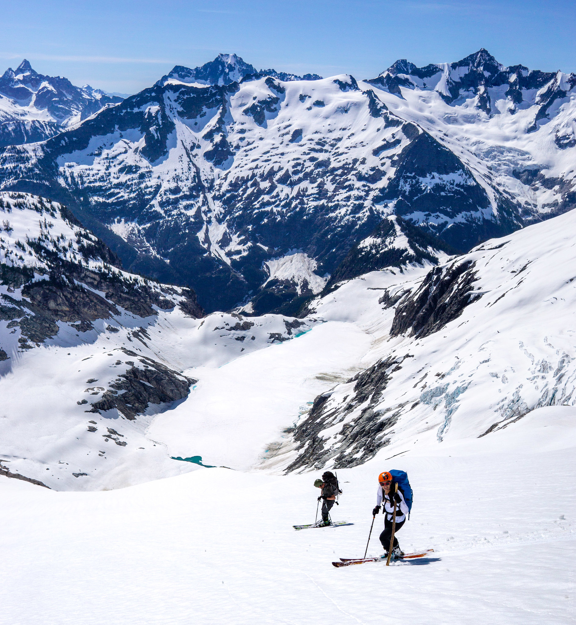
And so, we decided to retrace our steps back to the mellow snow slopes, backtrack almost all the way to the Silver Lake col, and then climb Custer via the south ridge. Downclimbing the gully was easy and we took a break to fill up water bottles in the waterfall running down it (this might make it less enjoyable as a gully option later in summer). The traverse went quickly too, I was hoping to get a before and after pic of Silver Lake’s melting status so I kept turning around to take pics hoping one would match the morning picture I had gotten. And soon enough, we were rounding the corner of a talus rib and ascending snow slopes up to Custer’s south ridge.

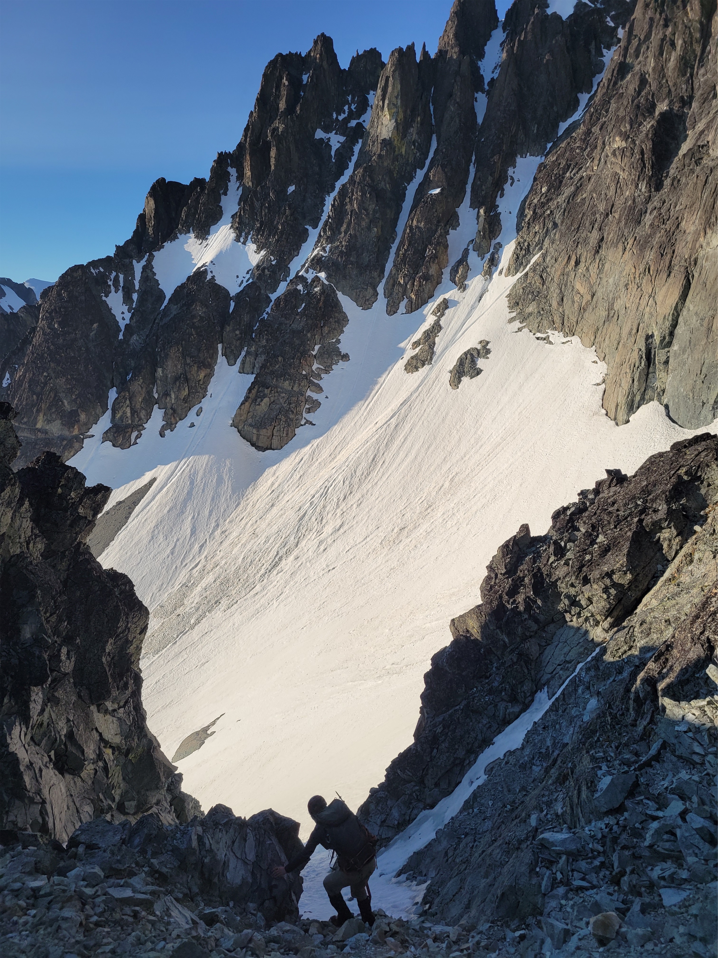
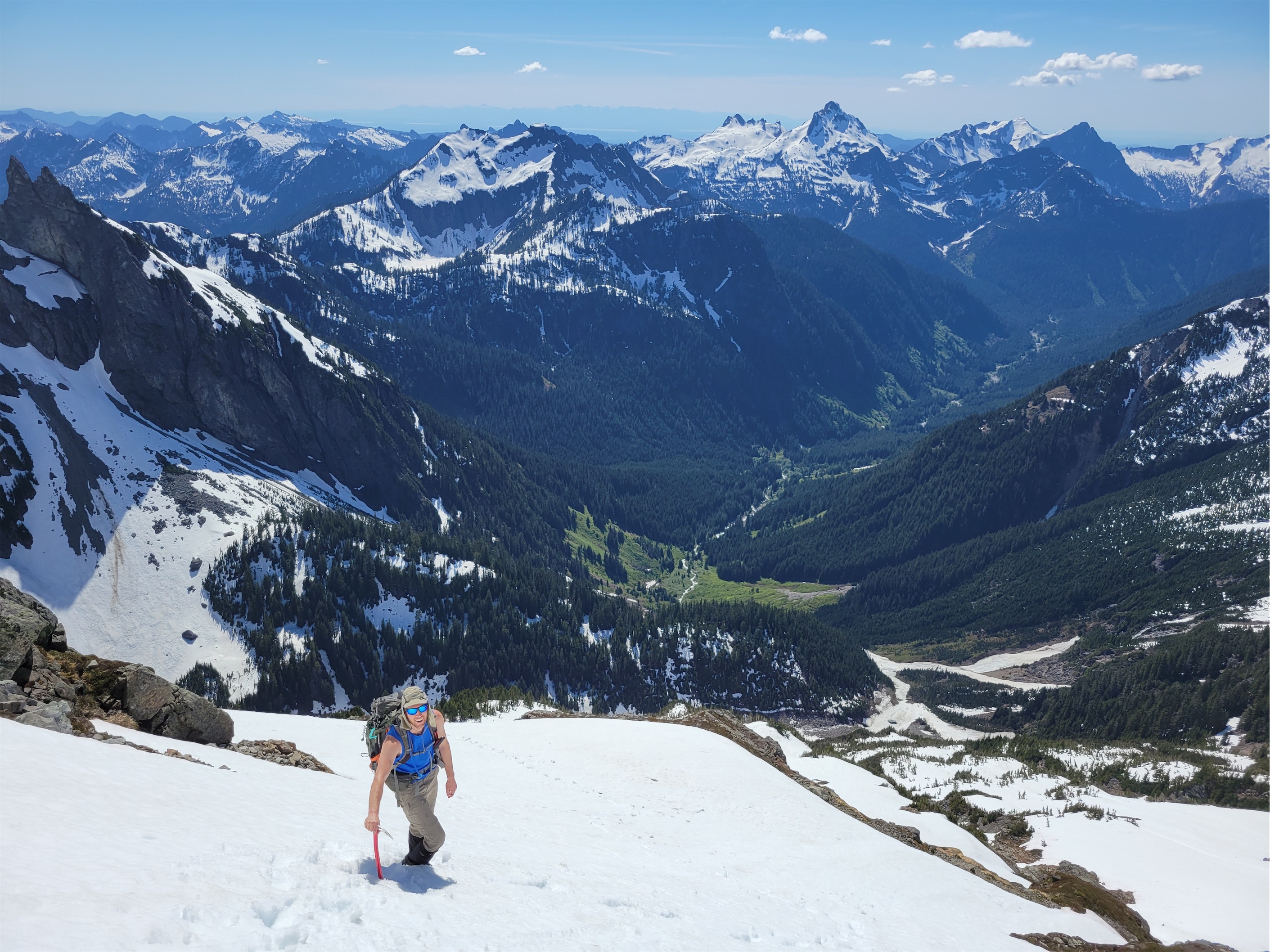
I was dying, again. I was stopping like every 10 steps to wipe sweat off of my face. Where did the clouds go. Please come back. And the wind. Please, just a light breeze. Thank god for Jon breaking trail up ahead, probably wondering why we were dragging behind him. Believe me if I could tie a bungee cord to that man and get a ride up in a sled I’d do it and he probably wouldn’t even notice. He was standing on the rock ridge gazing at Custer when Rob and I finally huffed and puffed our way to the saddle.
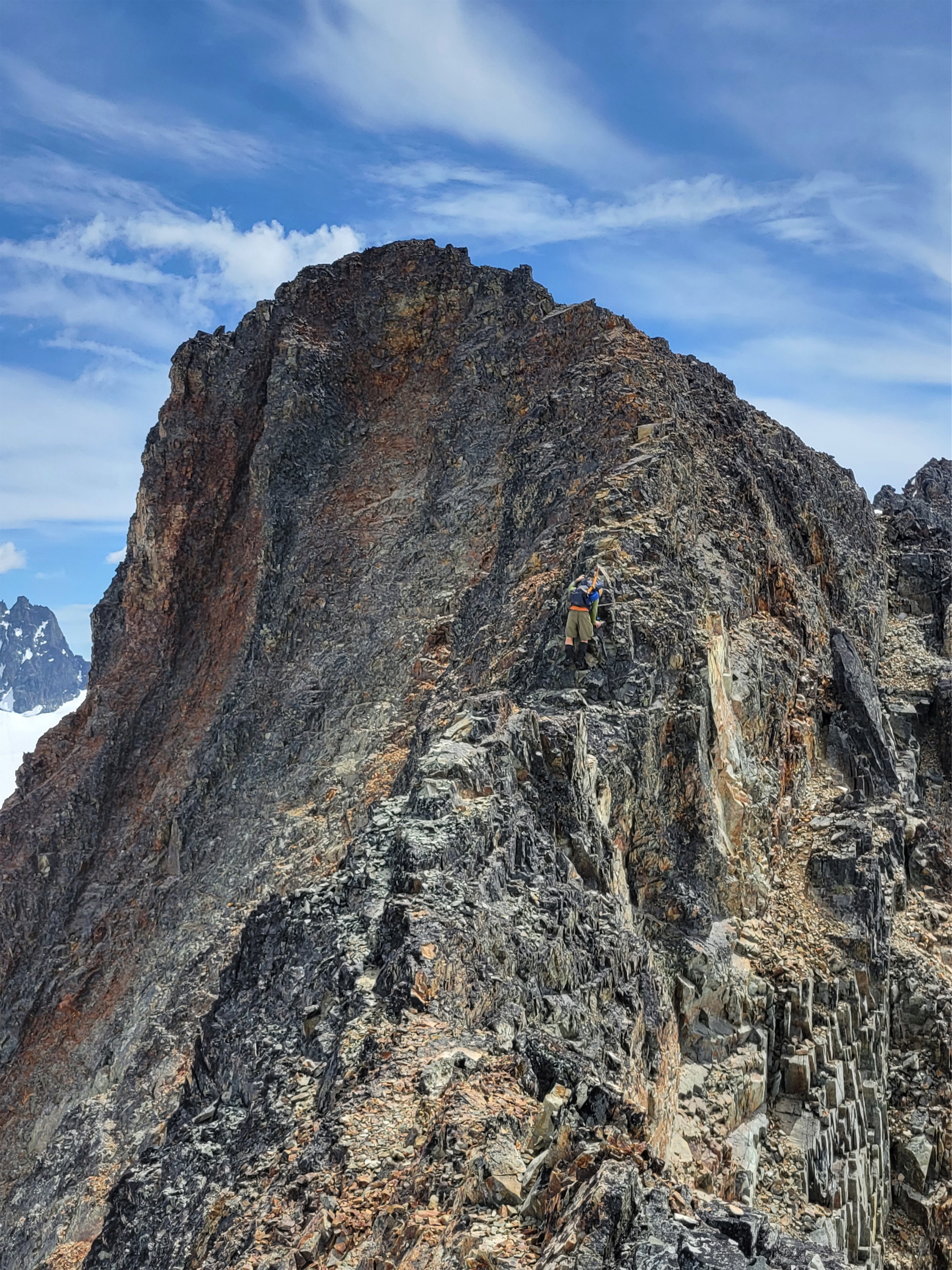
We looked up at Custer. Um, that still… that still looks terrible. My GPS says we only have like 300ft to the top but that looks like Martin which was 1000ft of tedious choss gully after tedious choss gully. It’s even the same color. Well, let’s get started I guess. “This goes for sure right? Because it looks… questionable…” “Well, I have a gpx track and they made it” “Hmm my route is different… do you have any idea what the ridge is like?” “Nope” “So you’re just assuming we can handle whatever they did” “Yep, it’s part of the adventure! “Have you considered that some of us are wimps on occasion and like to be reassured that we can handle the adventure?” [paraphrased] “No” “Well… it always gets clearer when you get closer right? So hopefully we’ll see the route when we get there…”
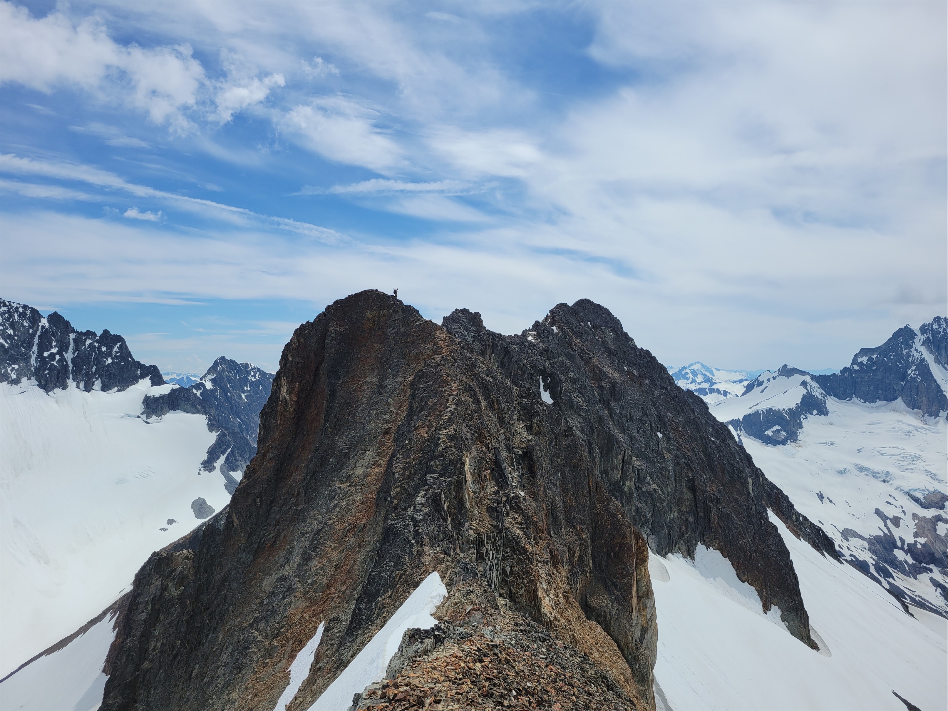
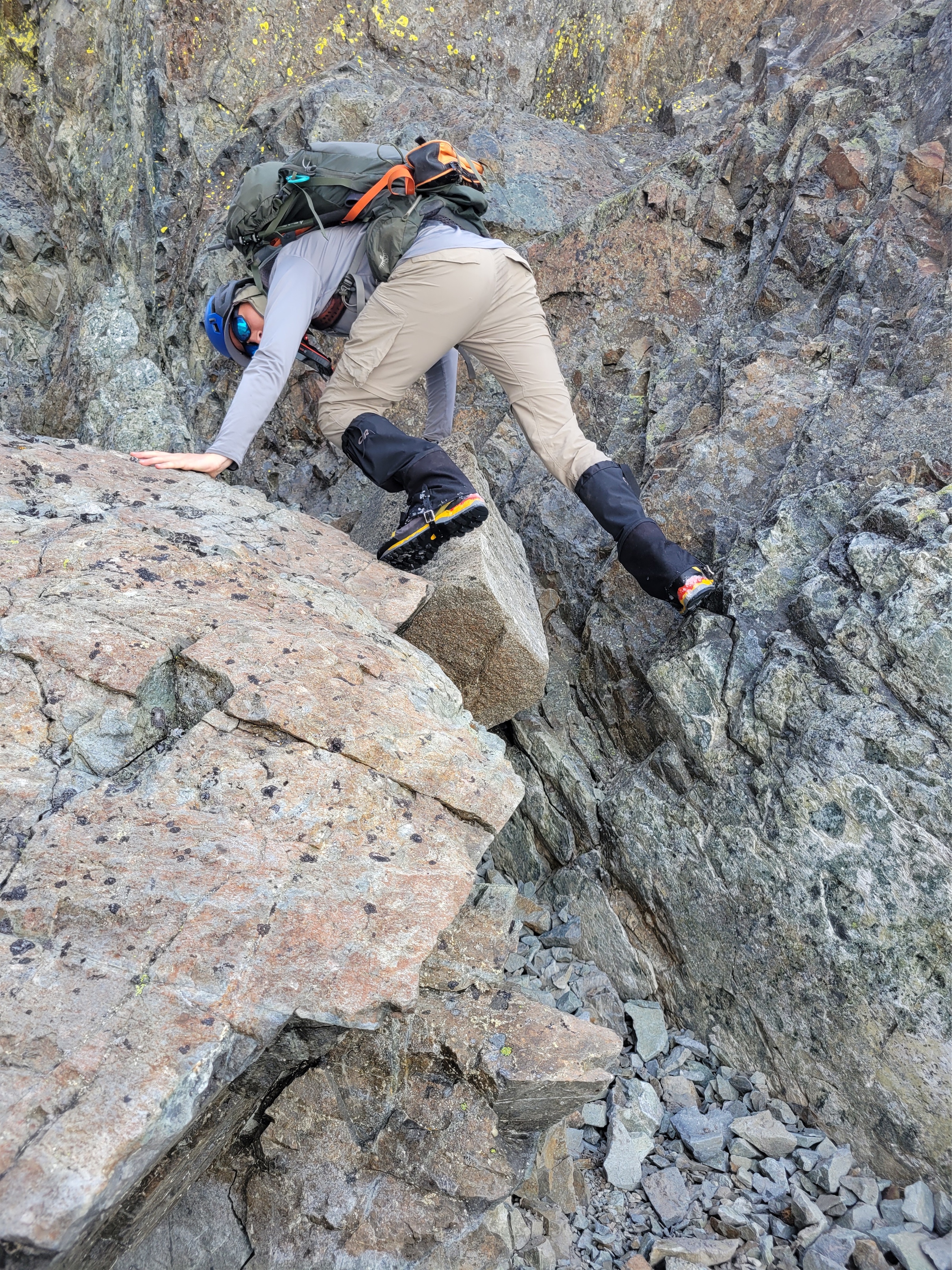
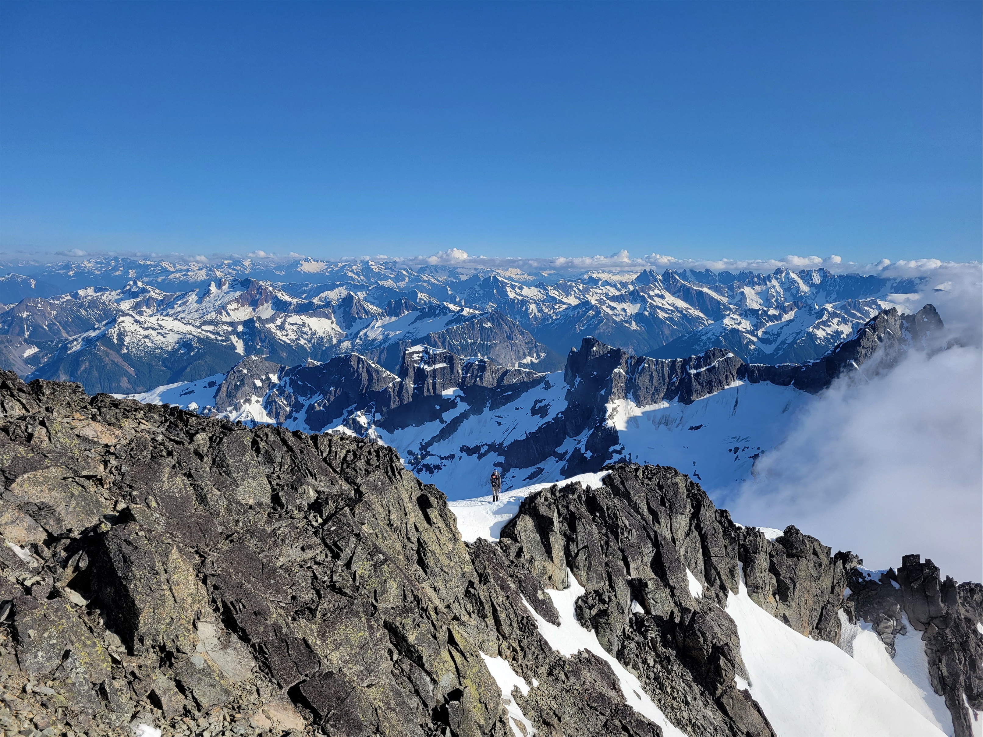
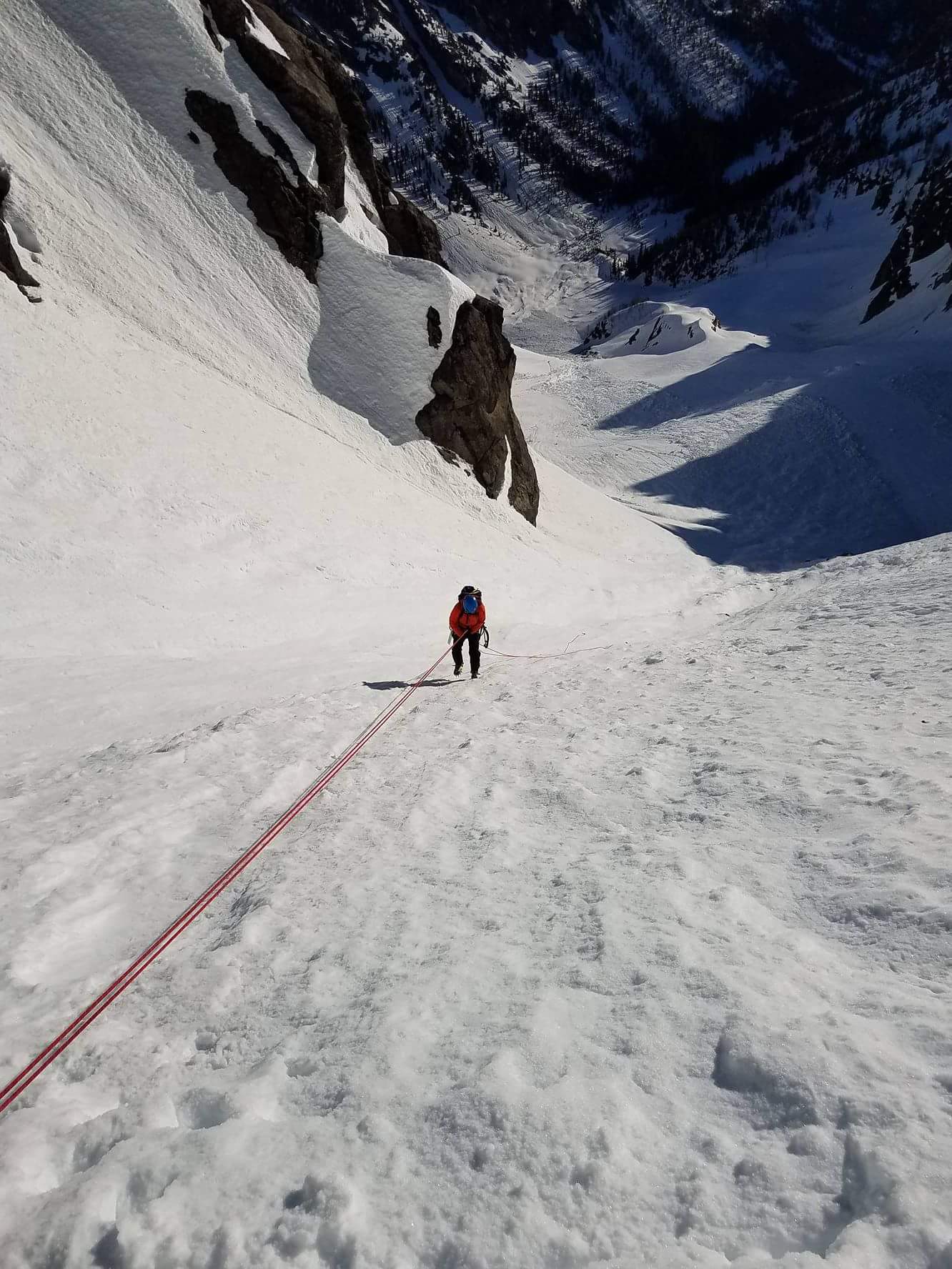
The scramble gets worse before it gets better. It gets looser, and knifier, and finally you’re downclimbing a third class ridge with WILD exposure on both sides and did I mention the ridge feels like it’s about to crumble beneath your feet? I swung over an outcropping and I can’t believe the whole thing didn’t burst below me. I hesitated before the last downclimbing step. It was loose. I watched Jon get through it smoothly but watching doesn’t make it better. I looked back at Rob. “I don’t know guys…” I was on the fence. Jon was already across. Rob was going to turn back. Too much objective hazard. I so didn’t want to be the tiebreaker here, but I also really dislike when parties split up. We’ve had some bad outcomes when parties split up. I looked back at Jon. I could see a boot path behind him. I would feel silly if I bailed because of 10 feet of loose ridge scramble. Hey Jon. Are you stoked? If you’re stoked, I’m stoked. He was stoked.
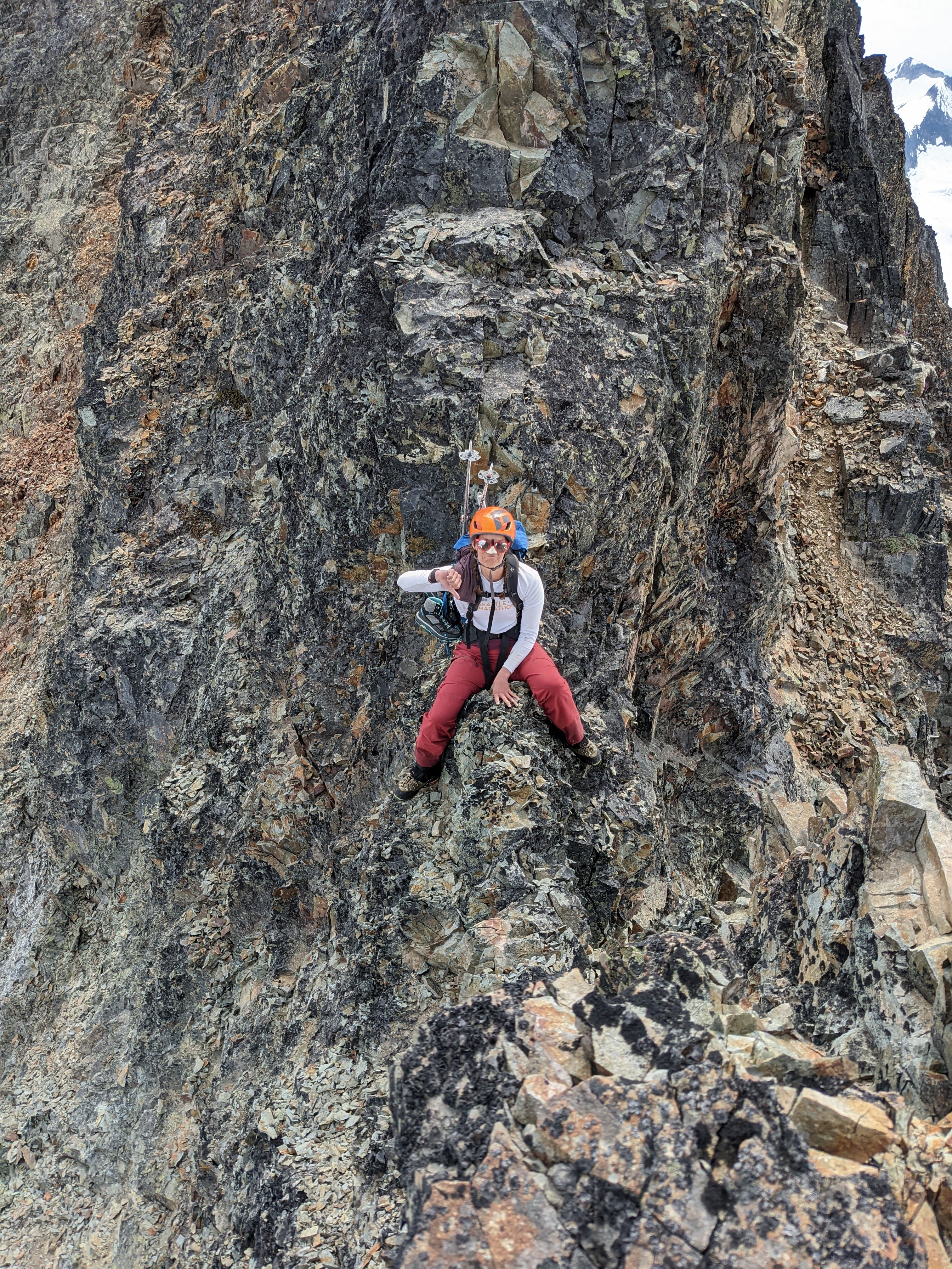
I made the last few downclimbing moves. I au-cheval-ed the lowest point expecting the dragging of my ass to lower the notch another 6″ thanks to crumbling. Shout out to Helly Hansen bibs for not getting shredded by the sharp rock that was shredding my fingers and palms and confidence. I hopped over one more small horn and officially was on the other side. The ridge flattened out. No more exposure. I looked back at Rob. I shouted to ask him to message us from Ben’s inreach when he was back at camp, so we’d know he was safe. Rob shouted back. “How was it?!”
“Not as bad as it looks! The exposure is over quickly!” Rob was considering turning around again and coming up with us. I looked at Jon. Heck yes. There’s a chance. Rob was scrambling down towards the notch again. I’ve said it here before, he’s a way more nimble scrambler than I am, so if I can do something, he can do it. I shouted exactly that back to him. We could always go down the snow/scree route and lose and regain that 800ft of elevation. And a minute later, Rob was through the crux, standing right next to us. YES. All three of us let’s do this.
From there, you might as well swim breaststroke up through the rocks to get to the top. I think we once again all took different routes, more with the goal of not showering rocks on each other than anything else. I grumbled crawling up talus about as gracefully as a komodo dragon laughing as Jon Danceswithtalus aka chossboss led the way with the grace of Jesus walking on water. But soon enough we were on the summit sitting in a pile of ladybugs marveling at the lack of summit register. I’d have carried one up here if I knew! I munched on the last of my mike & ikes. I think I had a margarita shot block from Jon. It was the best shot block I’ve ever had. I chugged water. I didn’t want to ask if there was a third summit chocolate, no way did Rob bring enough for multiple summits. Except then he took out summit chocolate!! Aahahaha yes!

We scouted out the basin snow/scree route back, but eventually decided we didn’t want to deal with the elevation loss especially given that we couldn’t see the couloir we’d have to climb up. And again, that storm. Quicker to take the south ridge back and hope the mountain gods smiled upon us. And they did. We made quick work getting back to the ridge, scrambled it very efficiently, and soon enough we were leapfrogging glissades back down to the traverse to the Silver Lake col. I turned back to Rob. What did you think of that scramble? would you say it was.. dangerous? What zone would we be in if you had to call it a zone? Trying to get him to start singing Danger Zone as he had on so many prior trips. I was unsuccessful, but Jon said something about “are you down” so I instead had “baby are you down down down down down doooowowowown” by Jay Sean in my head for the next 16hrs.
We had one break on the way because some dummy made an amateur, glissade 101 mistake. I had carried my hiking shoes in case my mountaineering boots made my feet bleed after a while. They needed to stay dry for the hike out the next day. You know what doesn’t keep boots dry? Letting them drag behind you on a glissade so they get stuffed chock full of snow. AMATEUR HOUR! I stood up at the end of the glissade as the light bulb hit me. Oh NO! I poured all the snow out and stuffed them deep in my pack hoping I was quick enough the snow didn’t melt at all and soak them. We’ll find out at camp. Rob turned his ice axe into an air guitar and started ripping the Final Countdown before we glissaded back into camp from the lakes saddle.

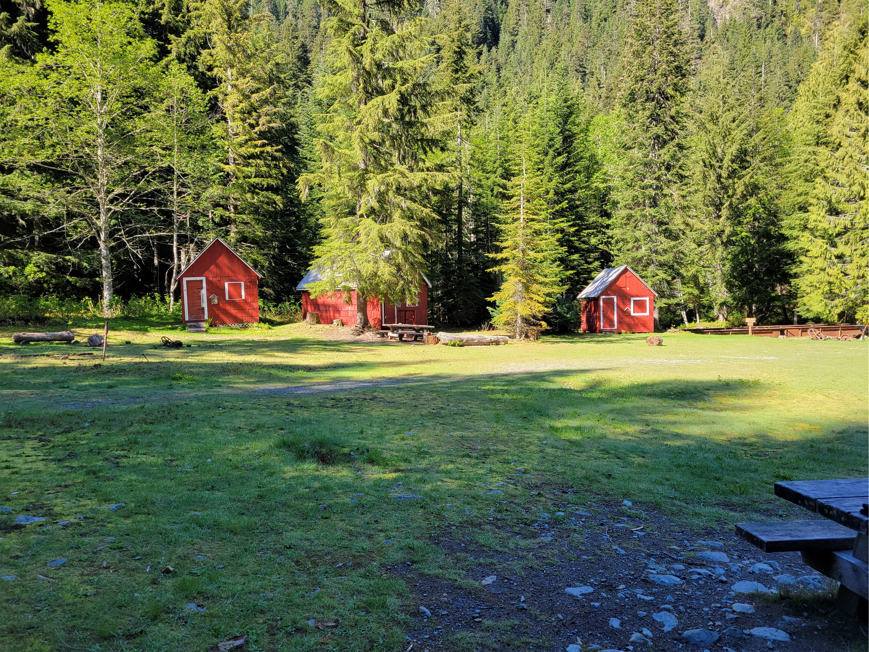
We were back at camp around 6pm, just in time to meet the neighbors coming down from Redoubt and the Moxes. They were not the owners of the gloeves I had picked up on the trail. “Did you see our T shirt though?” “Yes but we left it at your campsite!” “Oh, the one where we camped on elk poop? Yeah that was a low moment…” we laughed, and they continued on to their 4800ft camp above the waterfall. We had plenty of time to lounge in the sun, dry out wet clothes/pants/some idiot’s boots, and enjoy the evening. Or so we thought. We finished up dinner and clouds started closing in fast. And then the first few droplets hit. And the rolls of thunder crept in the distance. I wrapped up my yard sale and got in the tent so I wouldn’t be scrambling when the skies opened up. It was gradual, but around 8pm, the rain started. And it never stopped. “Should we put our food in bear bags?” “I… I think i’ll take my chances in the tent.” I don’t have a bear bag, I just put food in my sleeping bag stuff sack and put it somewhere out of the way. And honestly, if a bear comes to my tent in a thunderstorm to get my food… well assuming I make it out alive, that’s a great story.

I didn’t sleep well that night. Rain on a tent is loud, and I always worry something is getting wet. Amazingly, all of our things stayed dry. The tent stayed securely staked. There weren’t even pools of water on the ground, it must have been super absorbent. Rob was less fortunate, he was up at 1am re staking his tent in the pouring rain. We woke up around 6 and just waited, listening to the rain. Around 7:30 I voiced my concerns. I don’t want to pack up in the pouring rain… but I also don’t think it will stop pouring rain. Jon shouted to Rob. Rob, want to leave around 8:30?! “Sounds good!” I shouted to Ben. “Ben, can you be ready to leave by 8:30!?” I saw an arm flail out the tent door and suddenly Ben was standing outside in head to toe goretex. He was READY.
We started packing. Jon brilliantly packed the tent up from beneath the rain fly so the rain fly was the last thing to come down! And amazingly… the rain stopped. Here’s our window!! Let’s get moving! I crammed my last pb&j sandwich into my mouth. In case anyone is wondering, if you leave one half buried in snow a la Canadian Fridge, the part of the bread in the snow gets crunchy, as if it’s toasted but less delicious. In case anyone else is traveling with a variety of pb&j sandwiches.
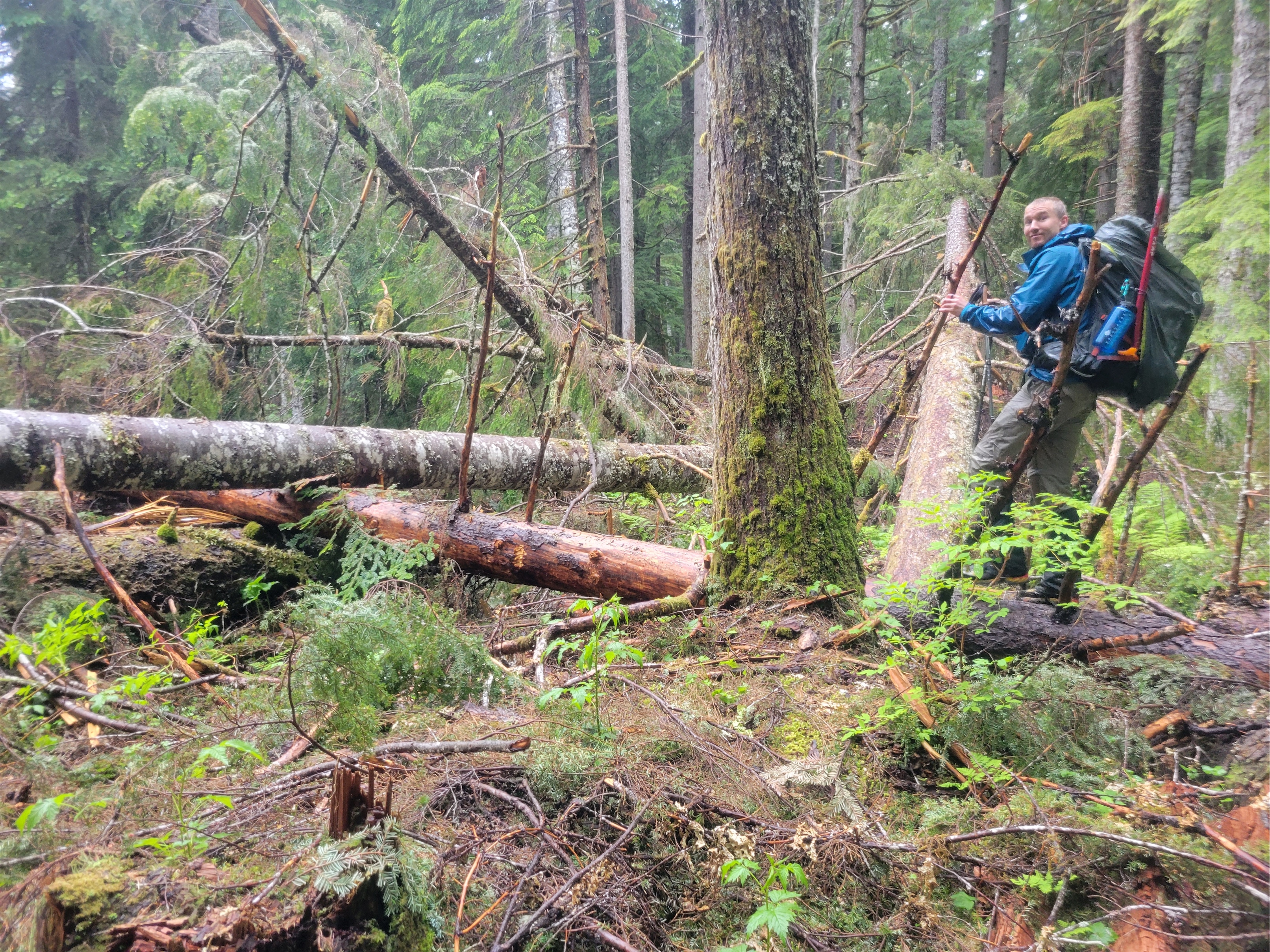
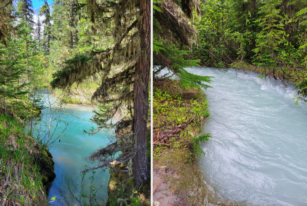
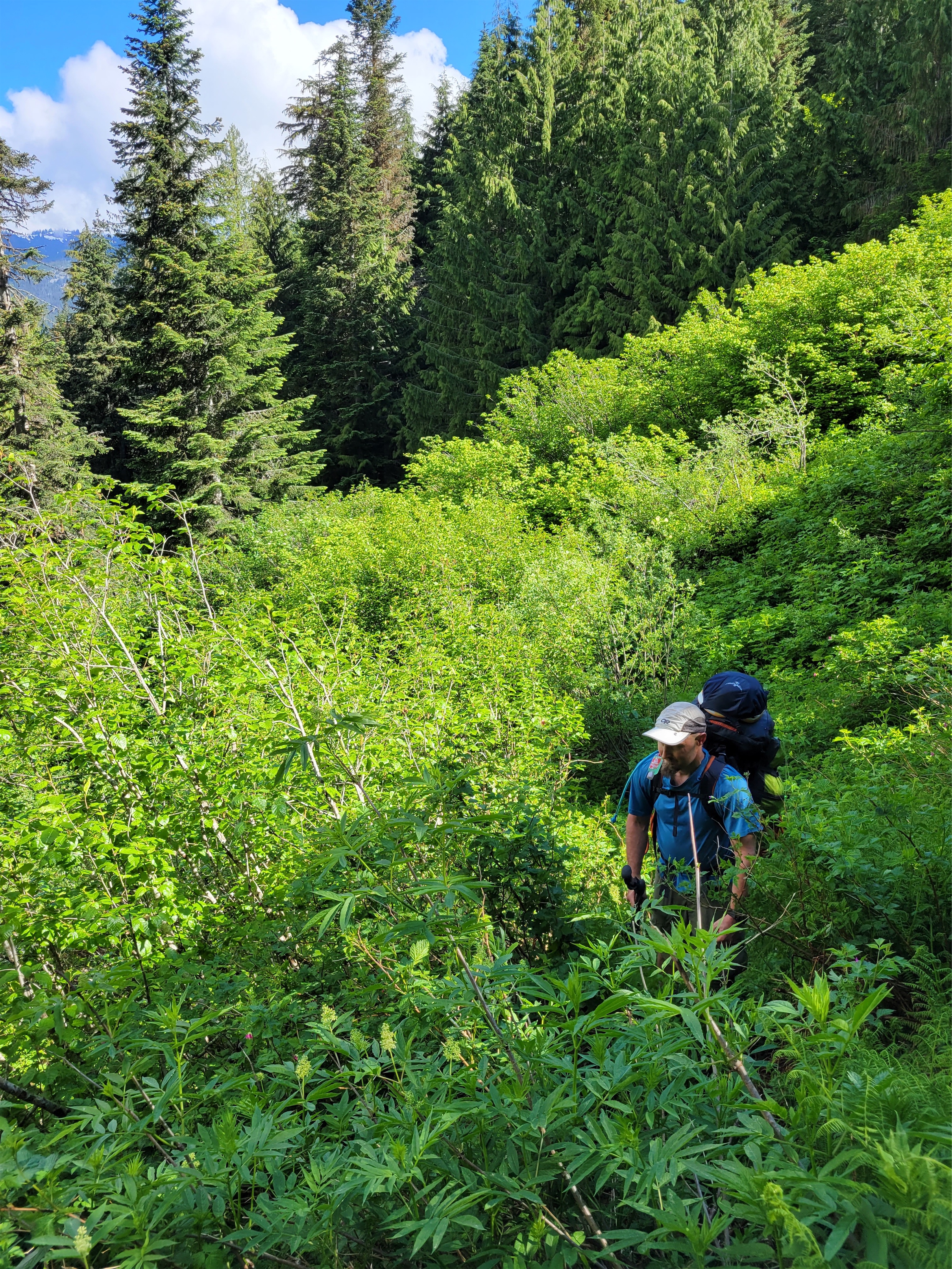
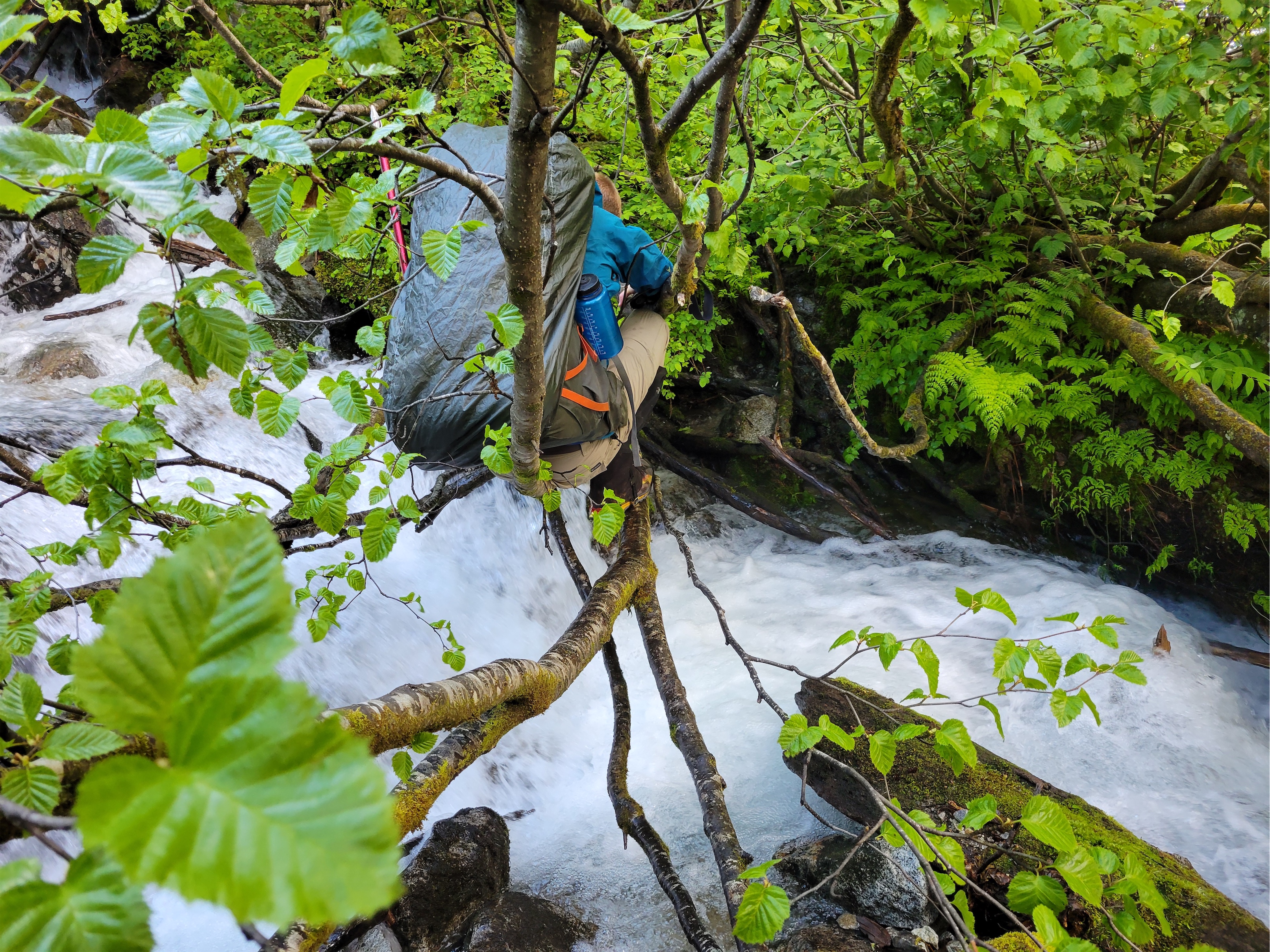
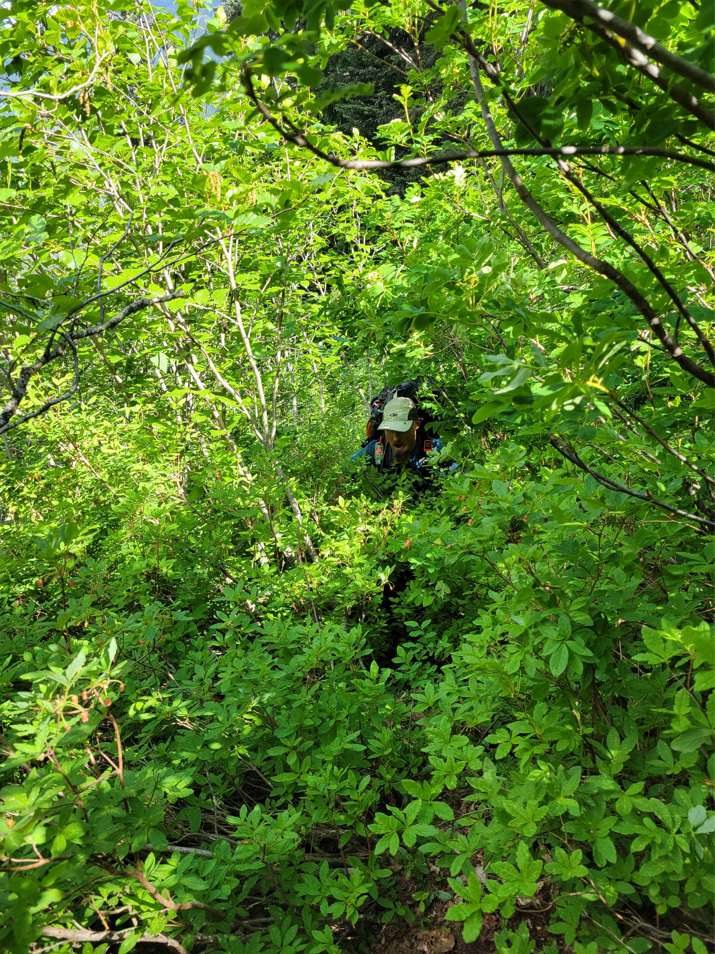
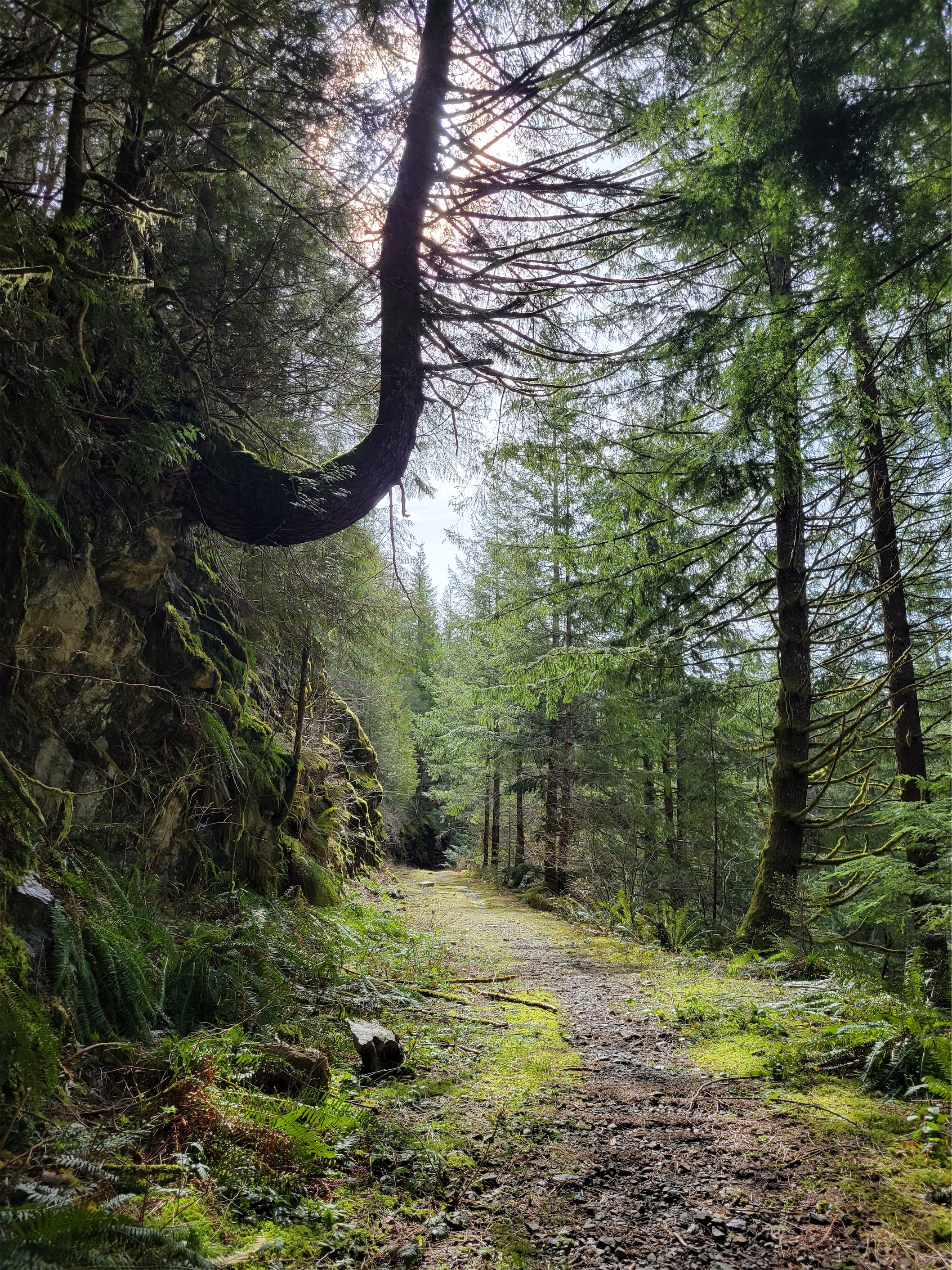
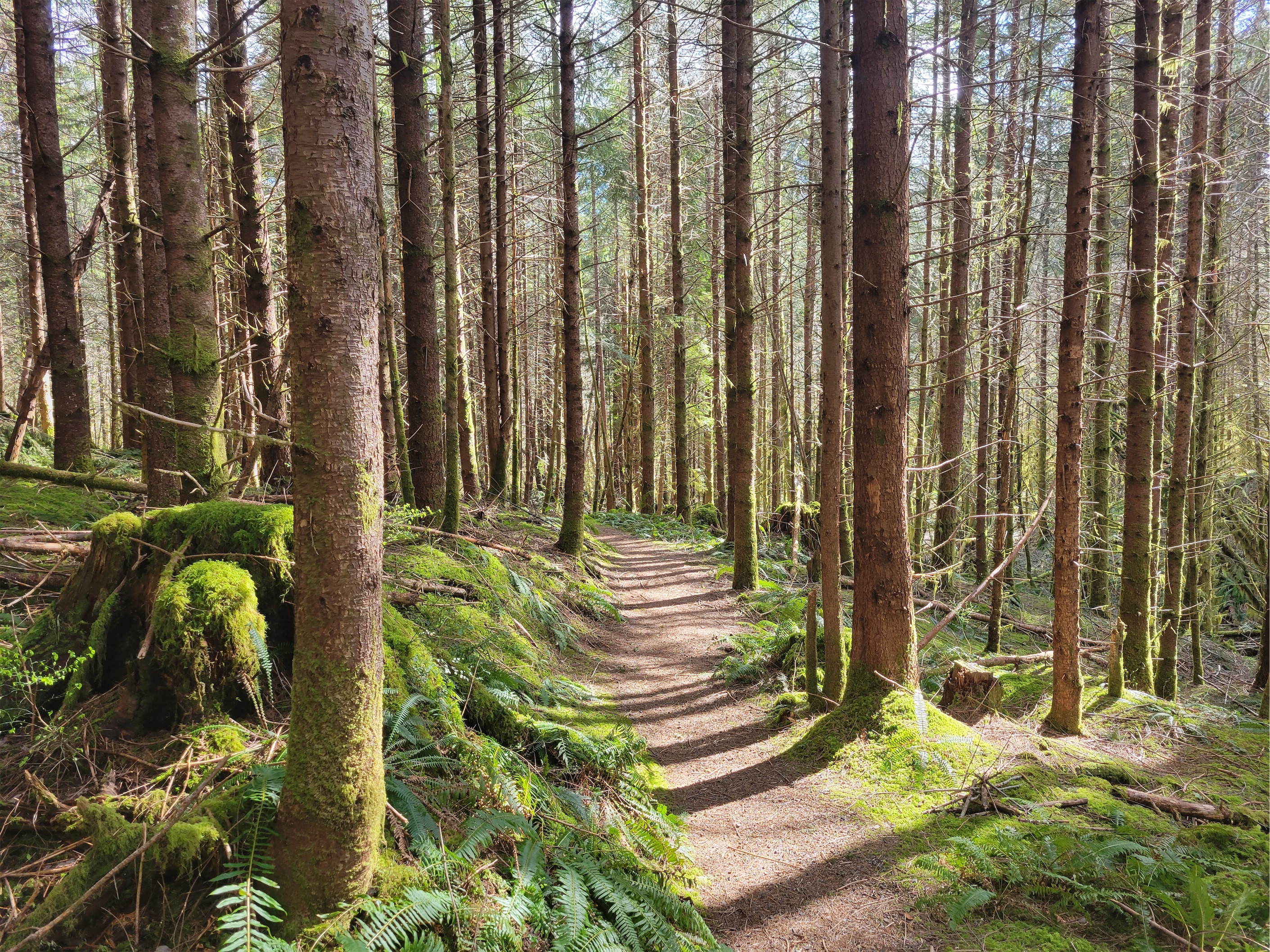
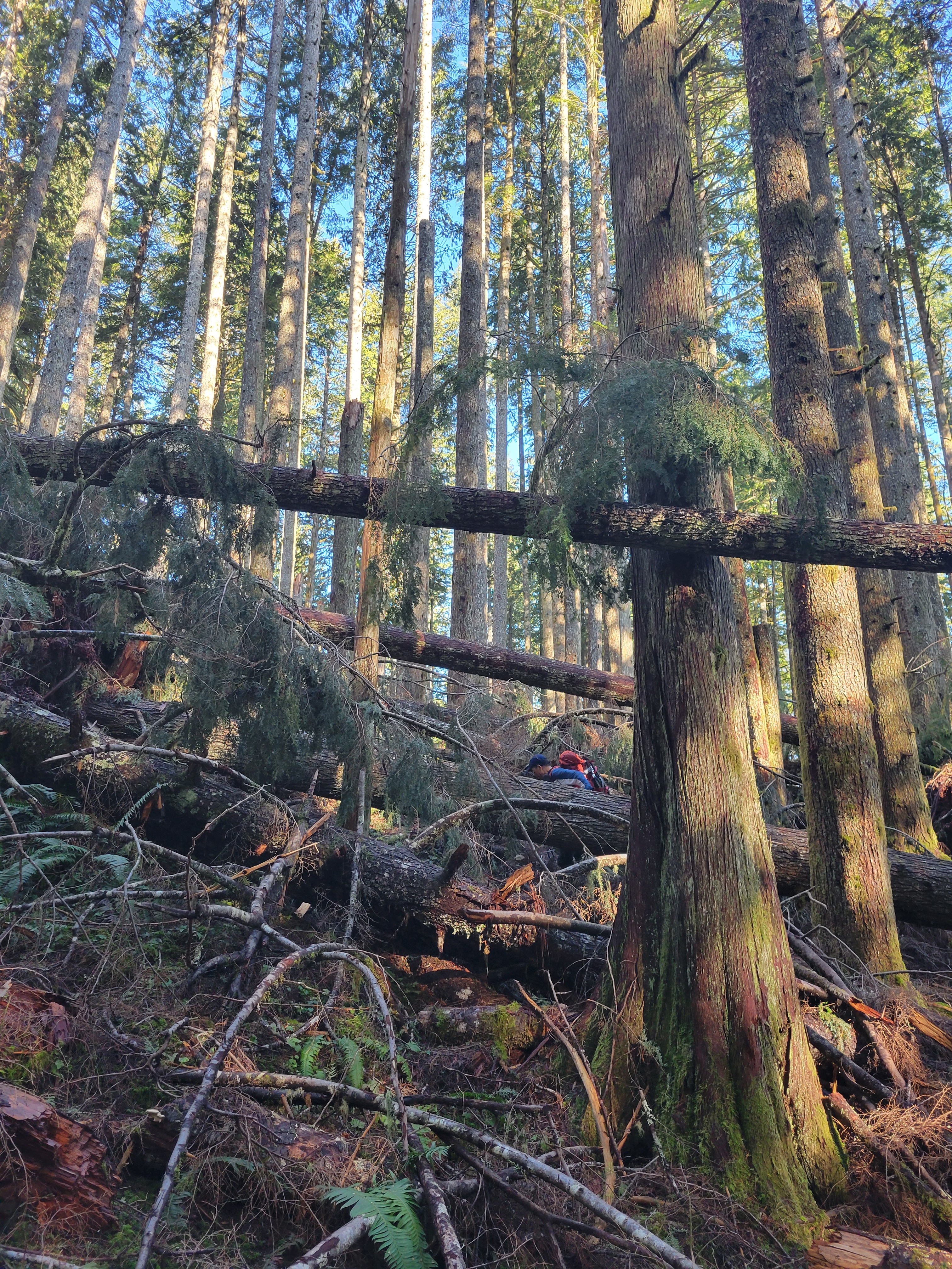
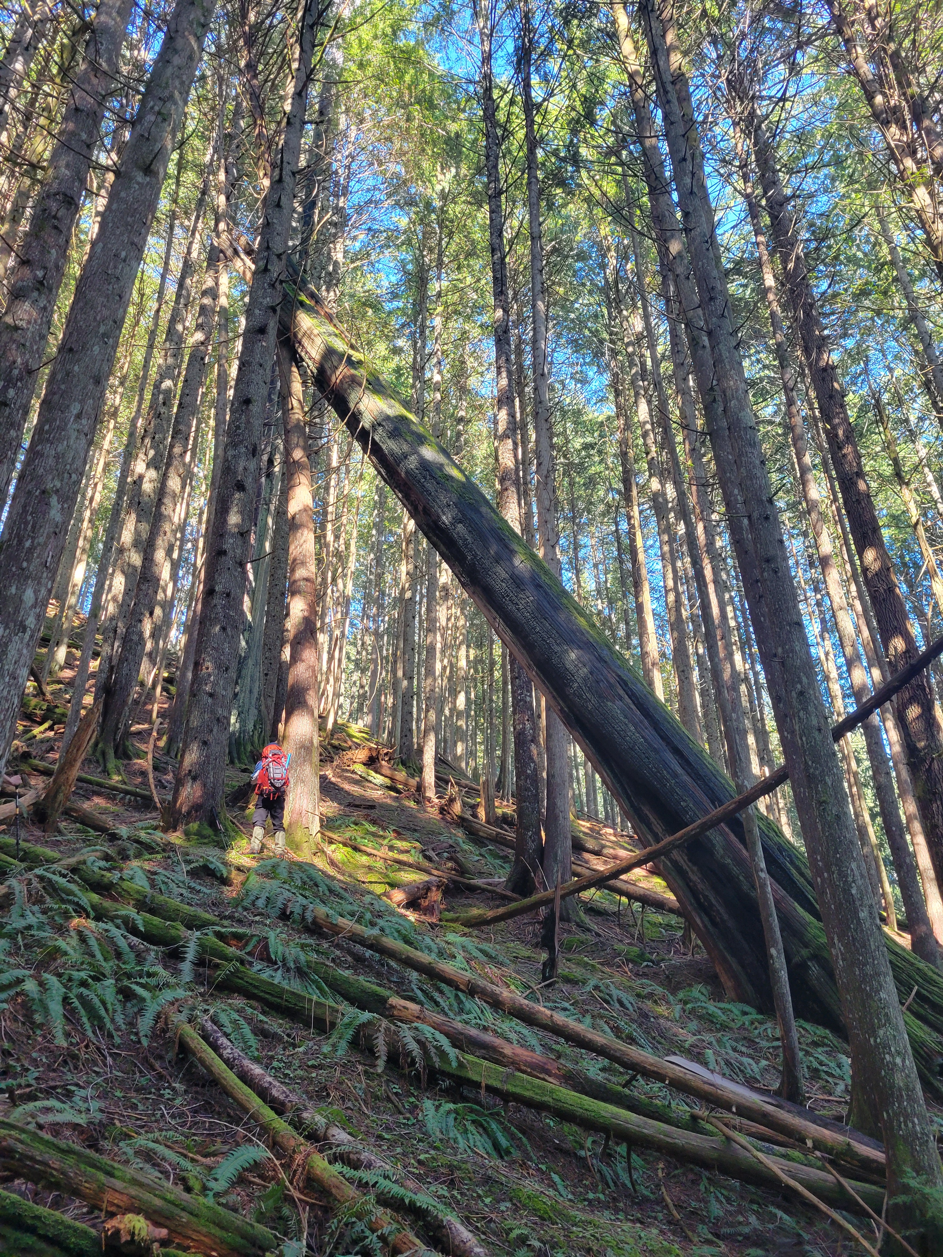
It took us similarly long to get back to the 4800ft camp at the top of the waterfalls. The river was SO swollen compared to Friday, and crossings were more perplexing than they were on the way in. Streams we could hop across suddenly required planning, or different crossings entirely. Remember how I said Custer was a heap of shit? Well in the early 2000’s, there was a massive rock and ice slide off Custer (LITERALLY CRUMBLING) that obliterated the trail from the waterfall top elk poop camp to Lake Ouzel. The slide alder was awful in the late 90’s, improved with the rock slide, and now it’s regrowing with a vengeance, so you get no trail and bonus talus and slide alder with a grudge. THAT’S why that last mile to Lake Ouzel is so brutal.
As we got closer to the main falls, it turned almost scary. From exciting and invigorating to holy shit, this is a monster. Going down the steep dirt and talus was a knee banger, and I learned a new term for what I’ve always called “the alpine butt-scoot.” When you scoot down something on your butt. The new term is better. It’s an ass belay.
We popped out on the waterfall slabs, where I ass belayed my way to the top of the hand lines rather than sidehill while fighting through alder. I couldn’t stop laughing. We’re in torrential downpour, now trying to downclimb a waterfall, and I’m sliding down a slab on my butt like a kid on a waterslide. I hopped up to cross a boulder to the first hand line. The wind nearly knocked me over. I stopped and held my stance to wait for the wind to stop. Oh, wait, I’m in a waterfall, it’s not going to stop, Okay, MOVE!
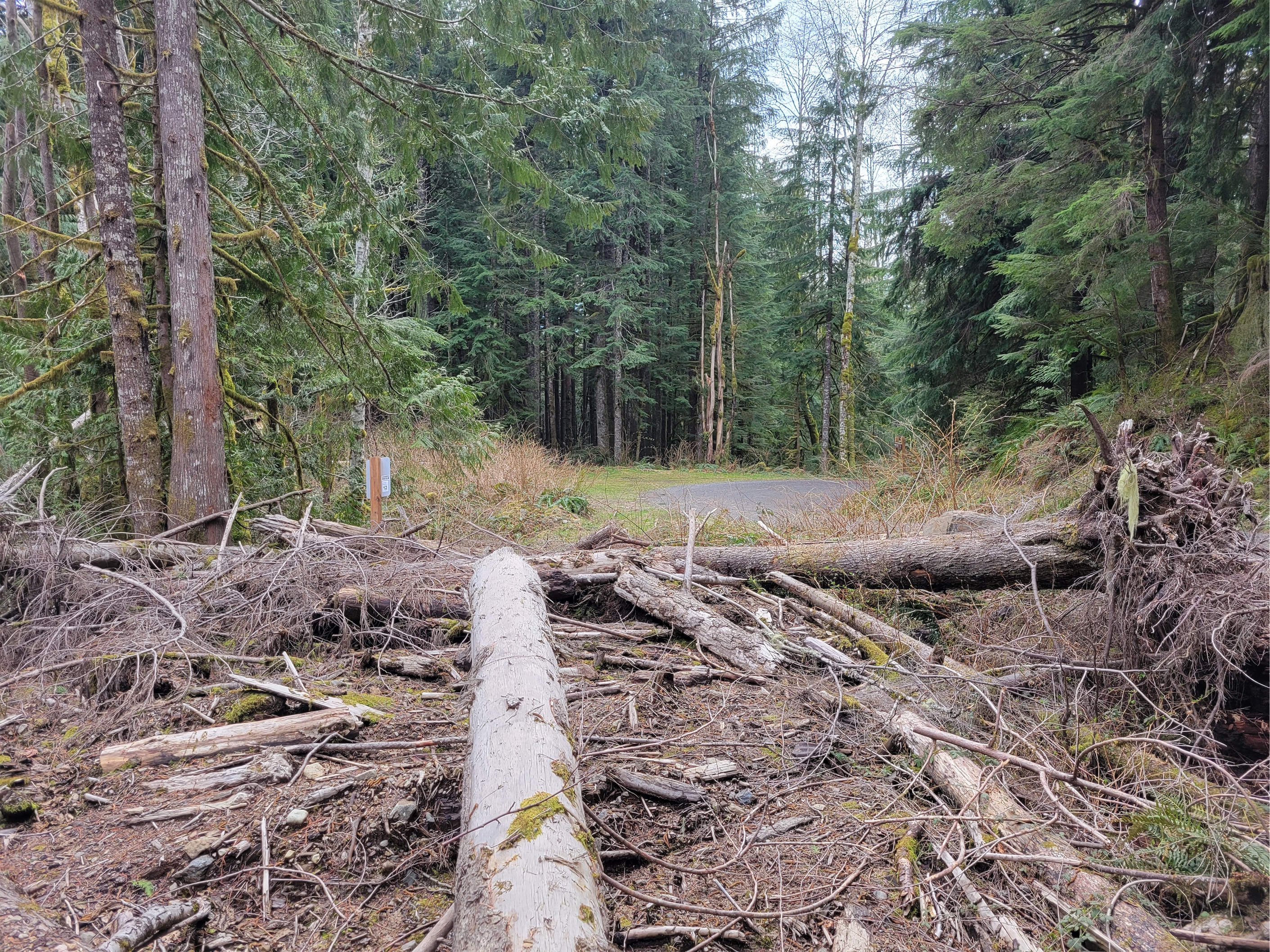
Going down the hand lines was easier than going up in my opinion. Crossing the slide alder bridge was similar. I think I was a lot better at balancing by the end of this trip. Log walks were highways, not the scary-can-I-balance challenge they usually are. I was getting very good at crawling with a pack on. Thank god I wasn’t carrying skis. Below the falls we actually stayed on trail for hours. HOURS! We barely lost it until the last mile or so from the border, where once again we went into the Twilight Zone of deadfall and logging debris. We kept doing our best to find the trail. We wanted to see the obelisk! I don’t even know if it’s still there! Or where it is 😦 “Screw you guys I’m cutting to the road!” Ben ditched us to just bushwhack the like 100m from the trail to the logging road we had walked initially. We continued for another 10-15min before I said guys.. I think I’m with Ben here. We don’t even know if the obelisk is up here. And there’s SO much deadfall we haven’t seen the trail in ages. And we, too, cut straight back to the road, where we followed Ben’s prints back to the car.
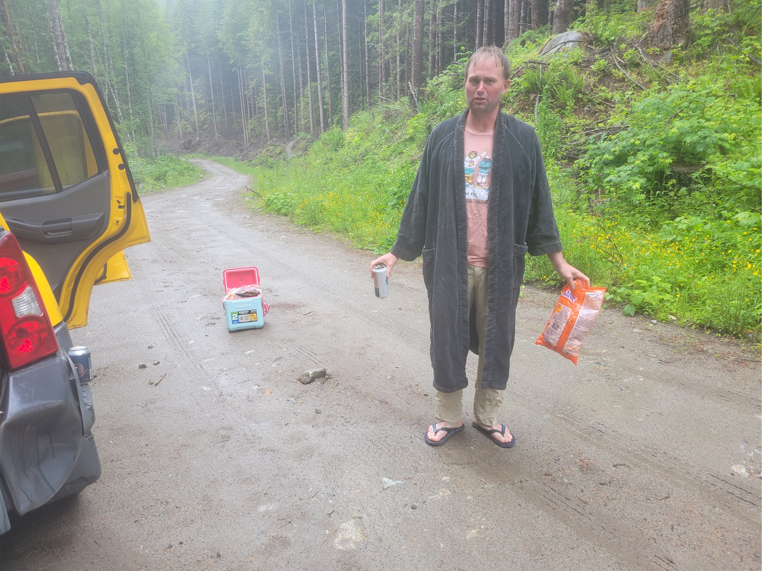
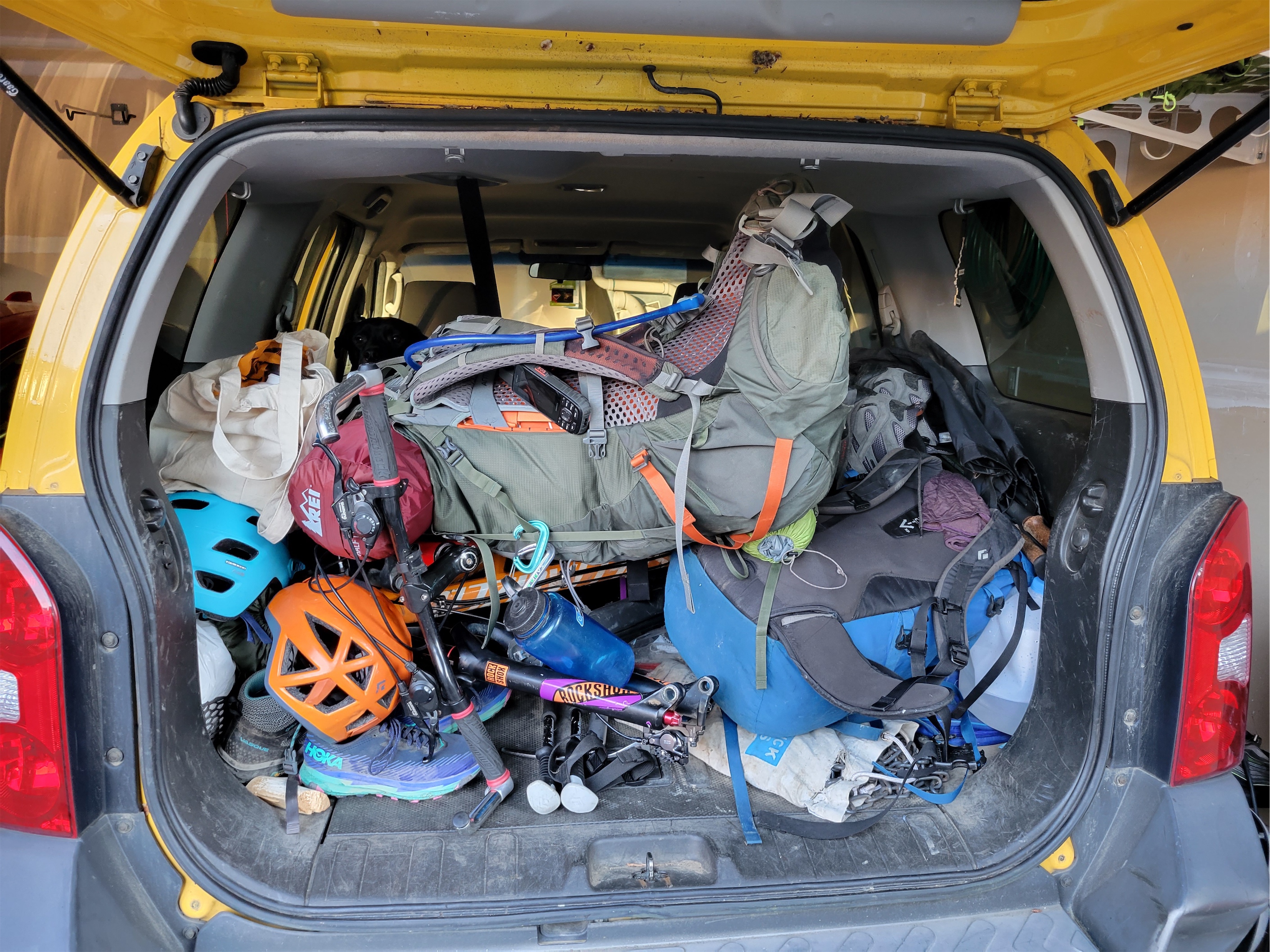
I love seeing my bright car from a distance and knowing I’m almost back. We changed into entirely dry clothes and piled our sopping wet gear into the trunk. I was worried the car would smell like wet feet on the way home but somehow we kept it contained. Some folks ahead of us had put logs and rocks in one of the deeper culverts, which was a nice touch. I was getting skilled at not scraping the back mud flaps. Back at Ben’s car, I jump out of my car only to see Ben standing in a bathrobe with a cooler of beer and a bad of off brand cheese doodles. I cracked up. It’s like something out of the Big Lebowski. Don’t worry, we crushed the beer and cheese doodles, eventually sitting in the car because it was so freaking cold and wet outside.
Heading back to the US, we stopped for burgers, had zero wait at the border crossing, got gas for UNDER $5 THAT’S RIGHT THE PRICE PER GALLON STARTED WITH A 4 at the skagit casino, and I was home spreading wet gear out in the basement by 10pm. A bummer that we couldn’t stay another day as originally intended, but all things considered, the trip was a huge success, and the hike out wasn’t as miserable as I expected, and I don’t think I got cavities from wearing invisalign in the wilderness with questionable dental hygiene for 3 days straight. To be determined.
Awesome trip, awesome group, FAR surpassed my expectations. I mean I thought these peaks were popular because they’re on the Bulger list. I thought they’d mostly be walk ups. Instead I got a totally wild, remote area, more scrambling than I anticipated, snow so good I wished I had carried skis on that whole damn approach, and a supportive encouraging stoked team. Totally worth the overnight storm and the hike out in the rain. And thanks for letting me be proud of my car 🙂
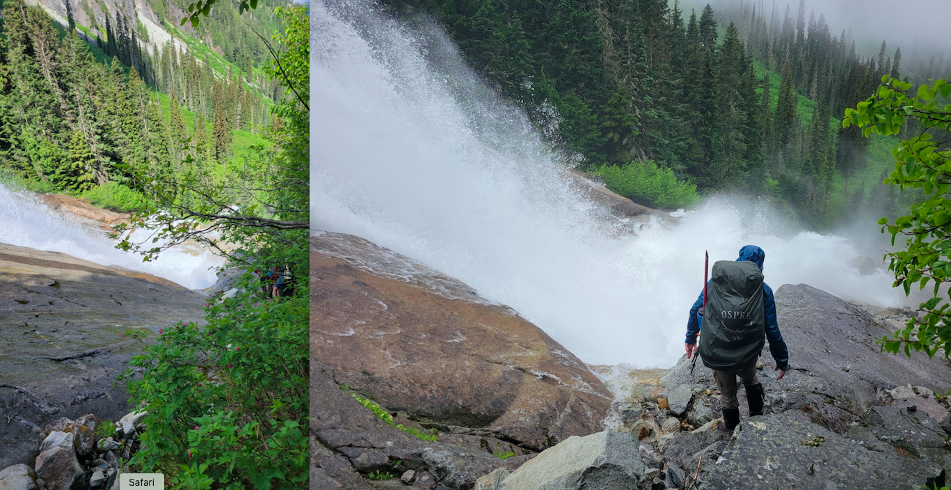
A few before and after pics of the river conditions:


