After two weeks of no hikes for the first time since September, I’m finally back on track – at least temporarily. A friend is visiting from Chicago, I have a rental car for the week, five days off, and that means… hikes! Dave’s plane landed around noon on Wednesday, and I can’t put into words how happy I was driving a freshly rented car down i5 for the first time in weeks. Back to routine: day off, hop in the car, get to the trails. After a quick lunch we were headed out to Mason Lake/Bandera Mountain. We got to the trailhead in mid-afternoon, and I didn’t think we’d have time for Bandera, but I figured we’d make a decision at the junction depending on how long we took to get there. If the title of this post wasn’t a big enough spoiler alert, we ended up doing Mason Lake.
- Distance: 6.5 miles round trip
- Elevation: 2400ft gain, 4300 highest point
- Weather: 40’s and cloudy
- Commute from Seattle: an hour
- Did I Trip: yes

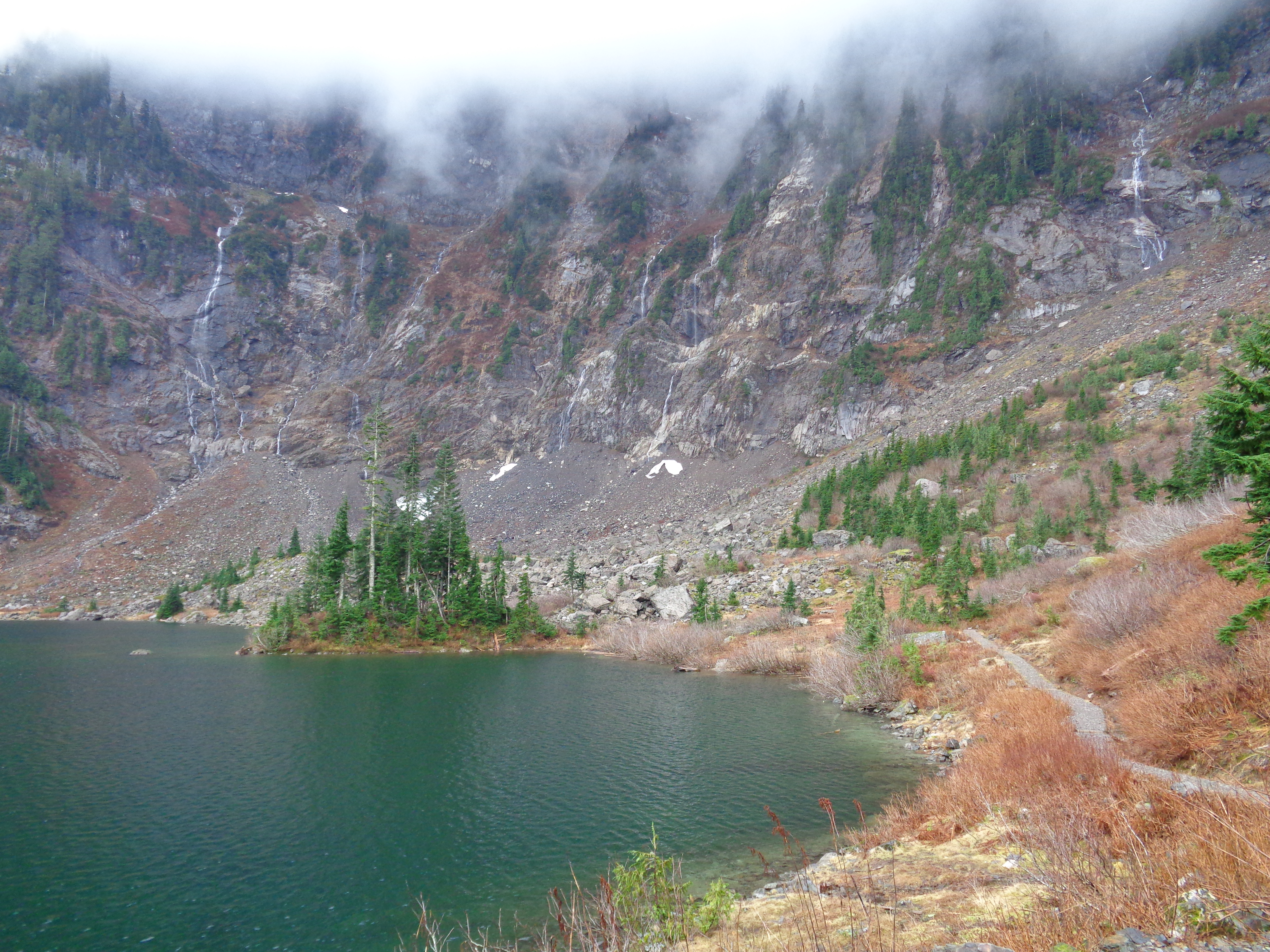
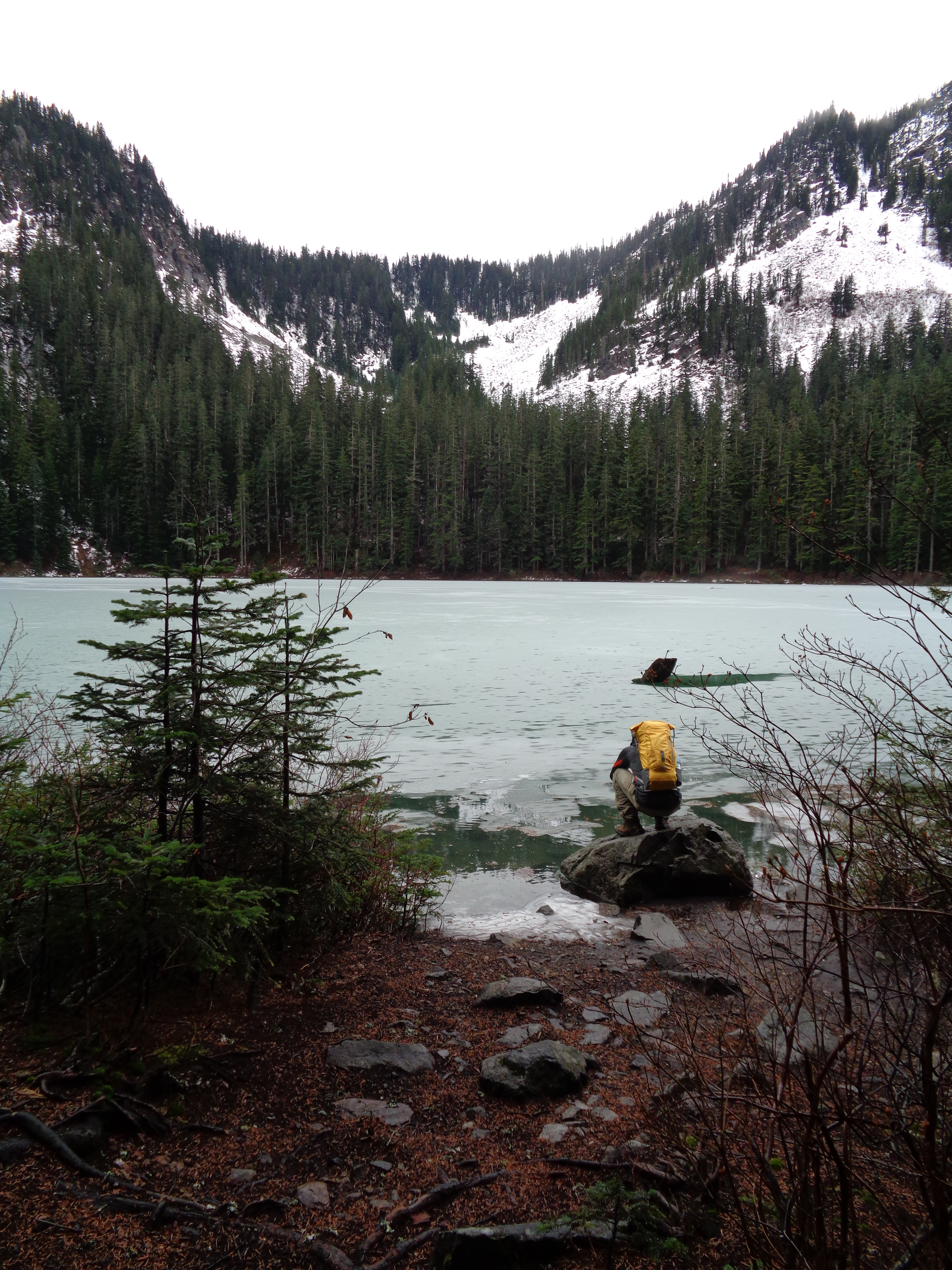
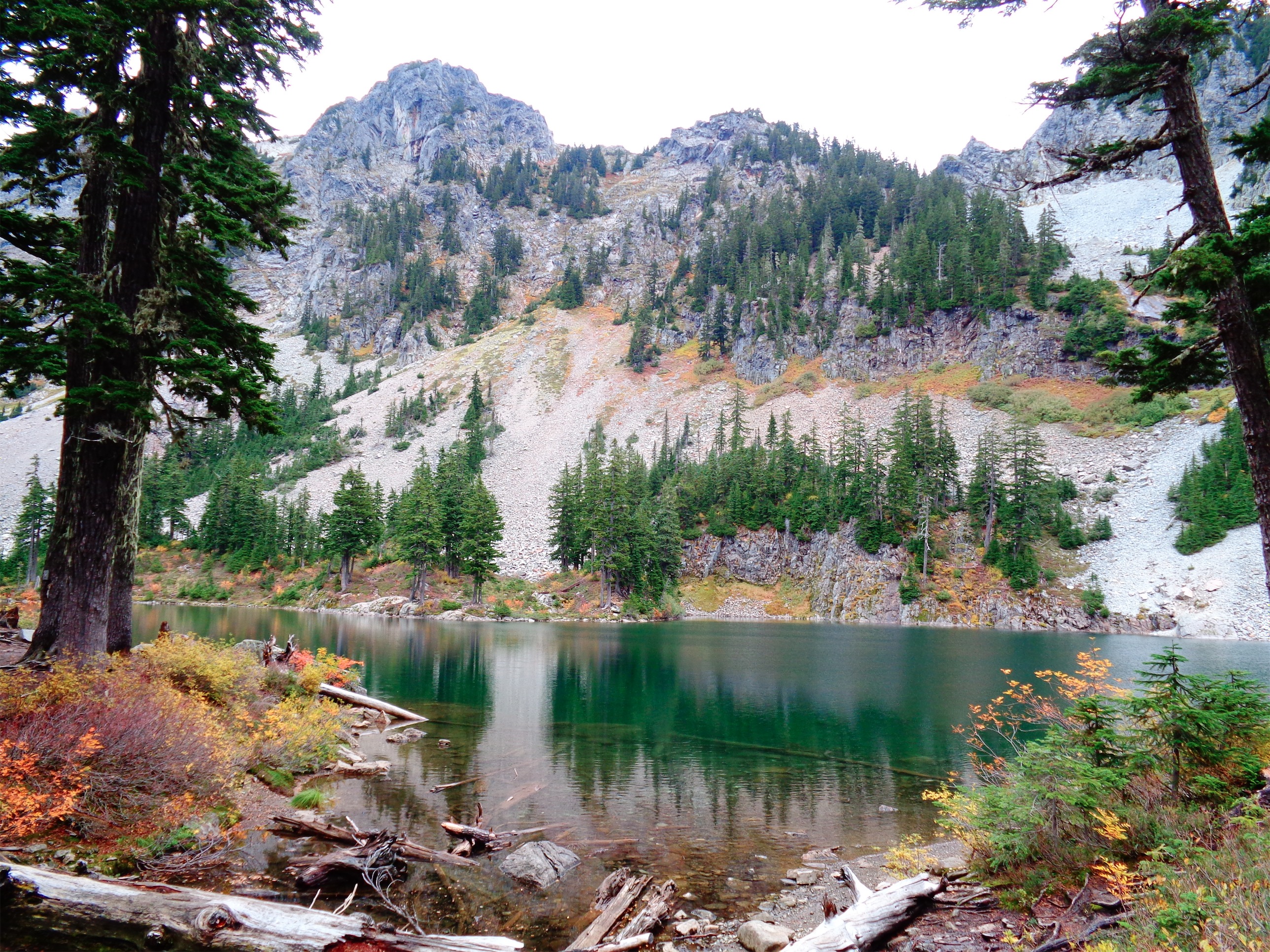
Mason Lake from the outlet stream
I hadn’t been back to this trailhead since October, when I hiked Bandera. I didn’t expect it to be accessible in February, but that can be said for a lot of the hikes this winter. We brought along microspikes just in case, but didn’t expect much snow. I got my rental Subaru down the potholed road (lower clearance than my old Accord, somehow), and started out around 2:30.

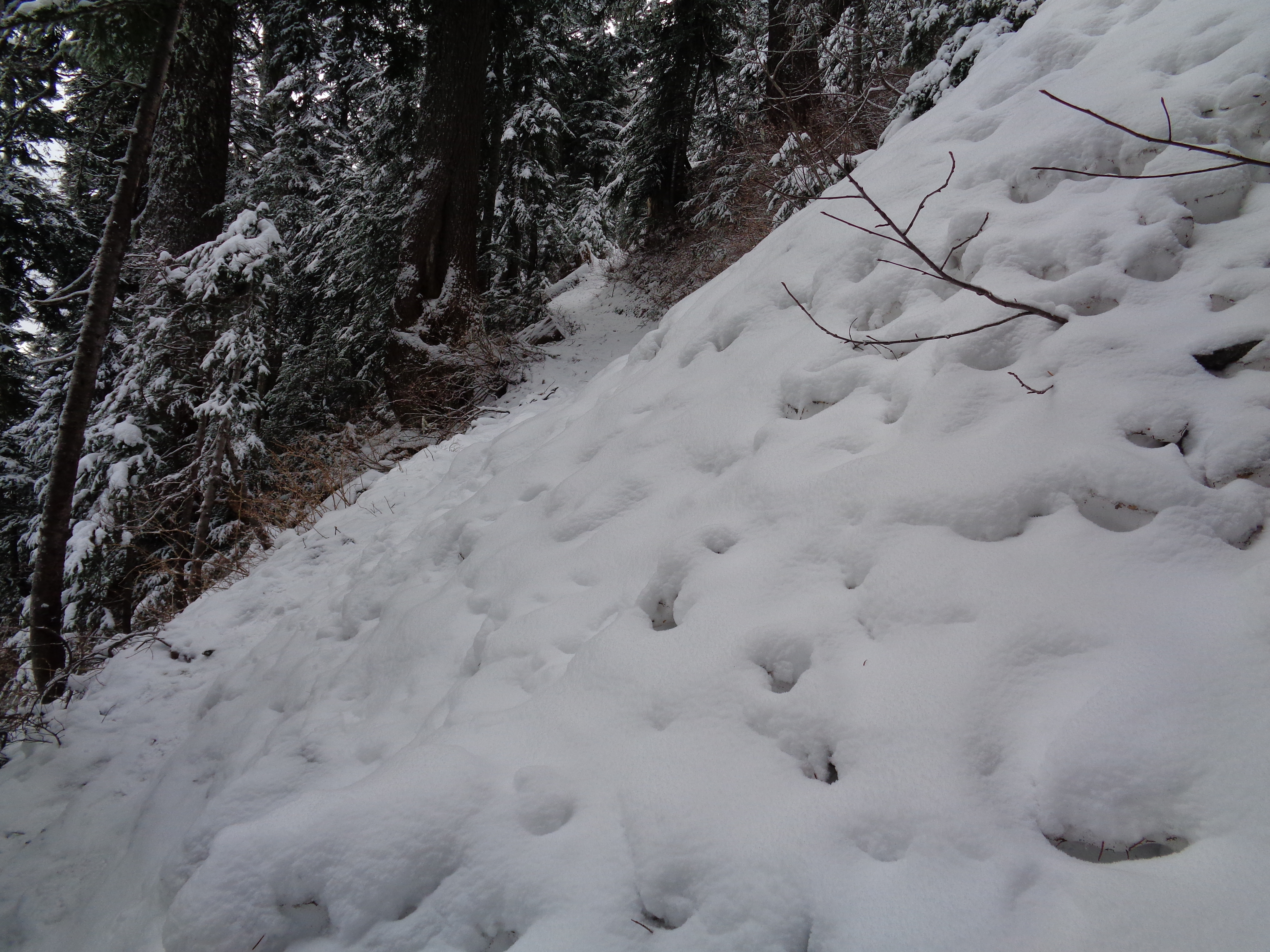
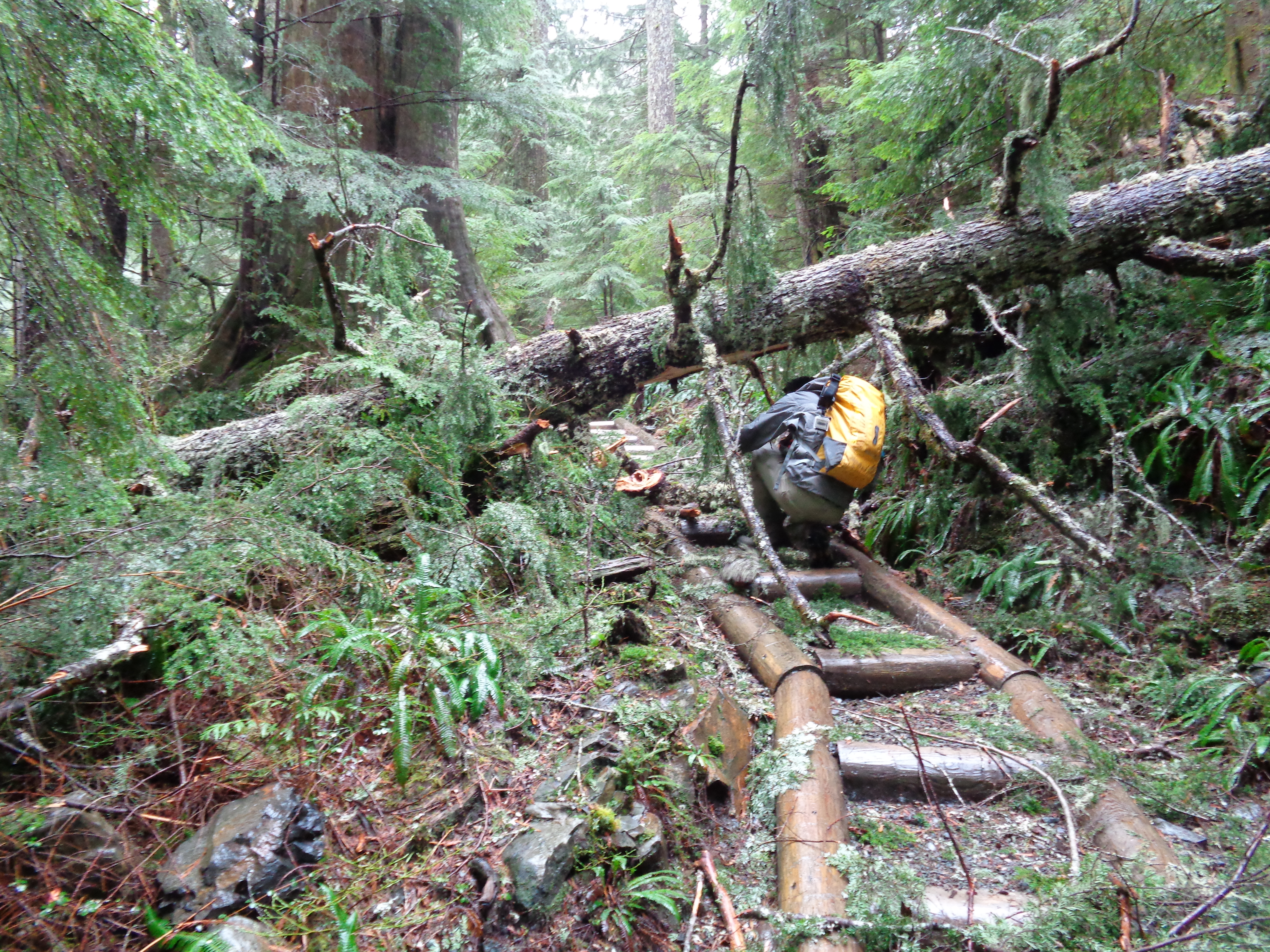
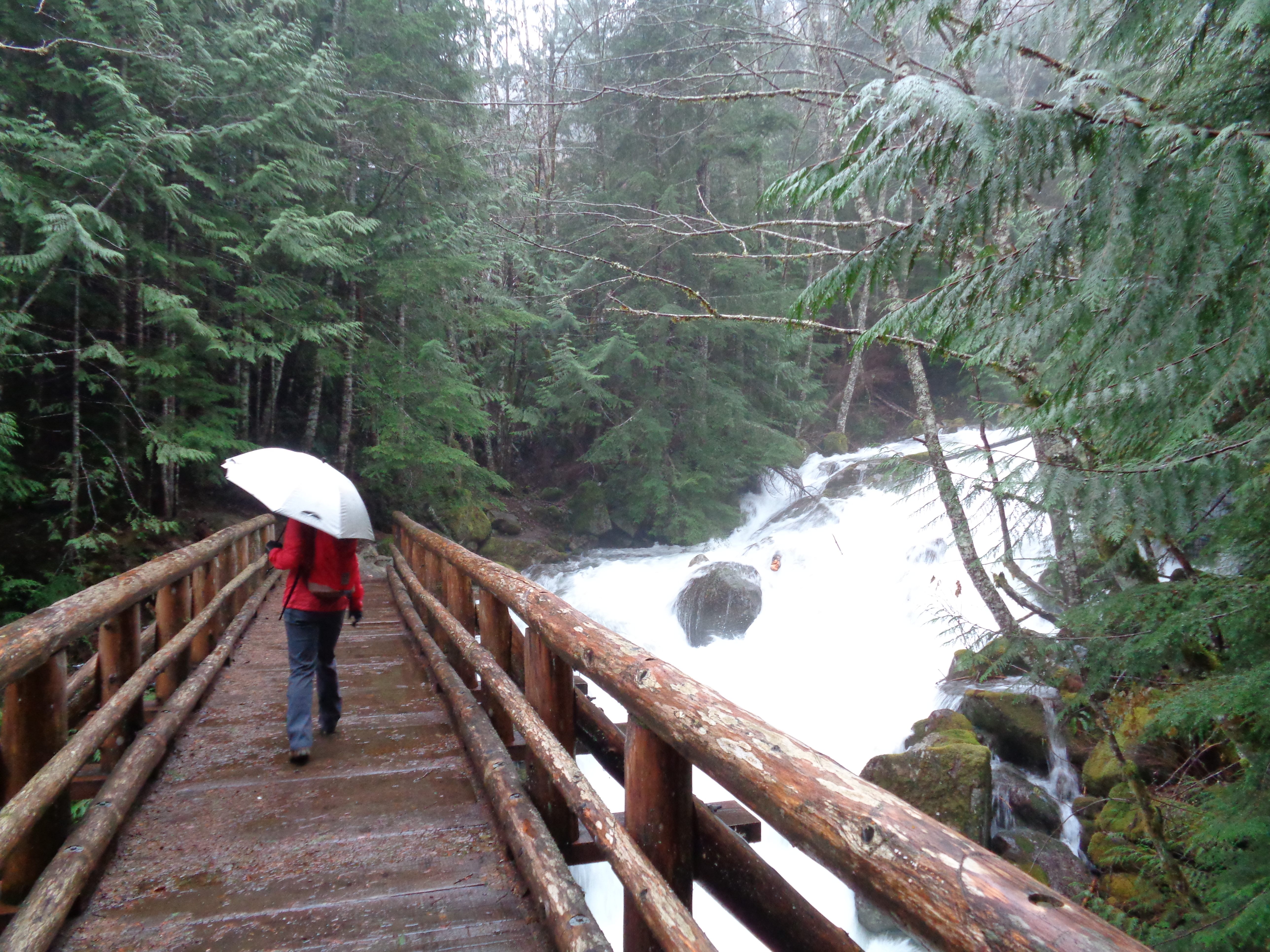
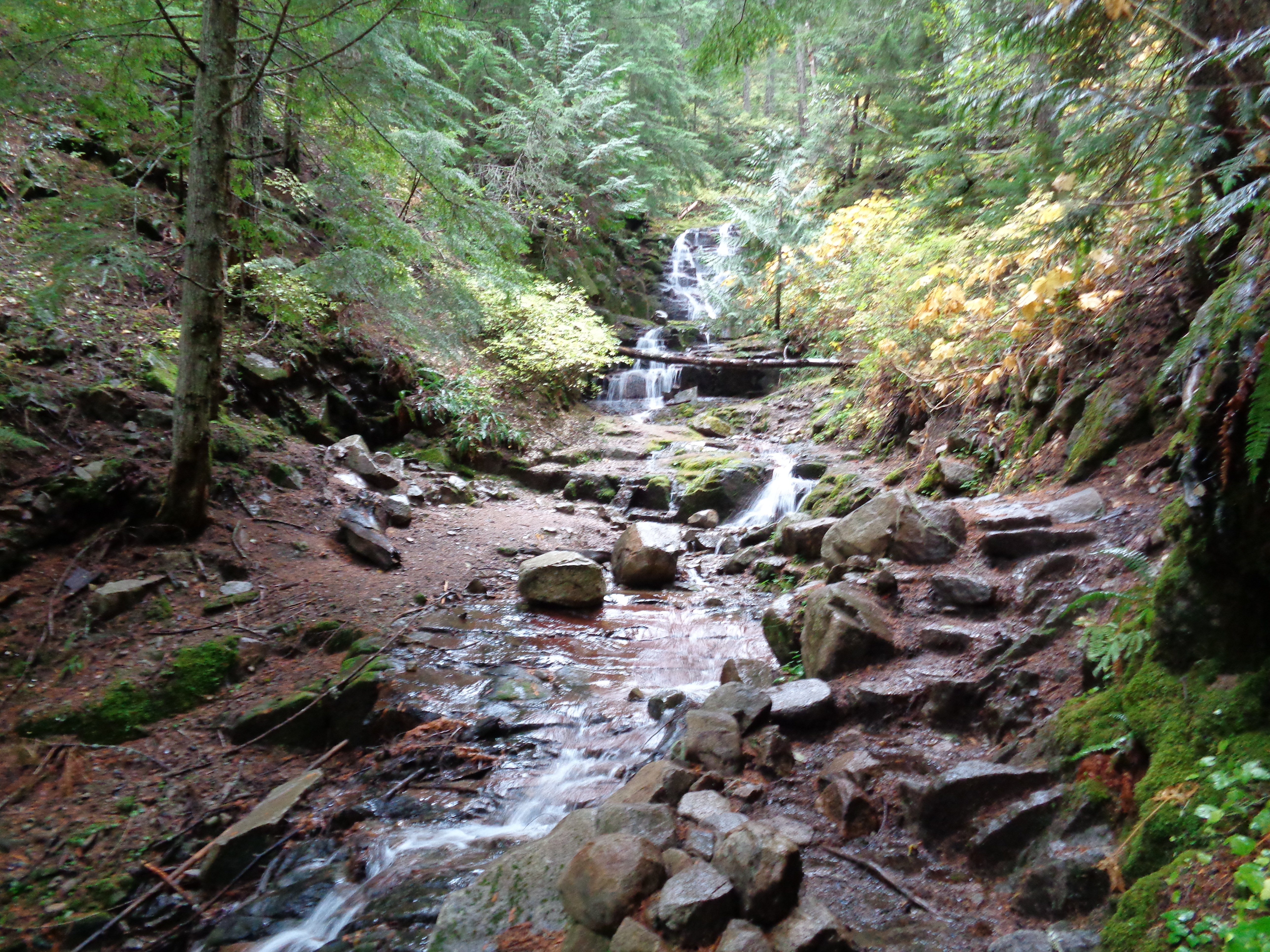
River crossing
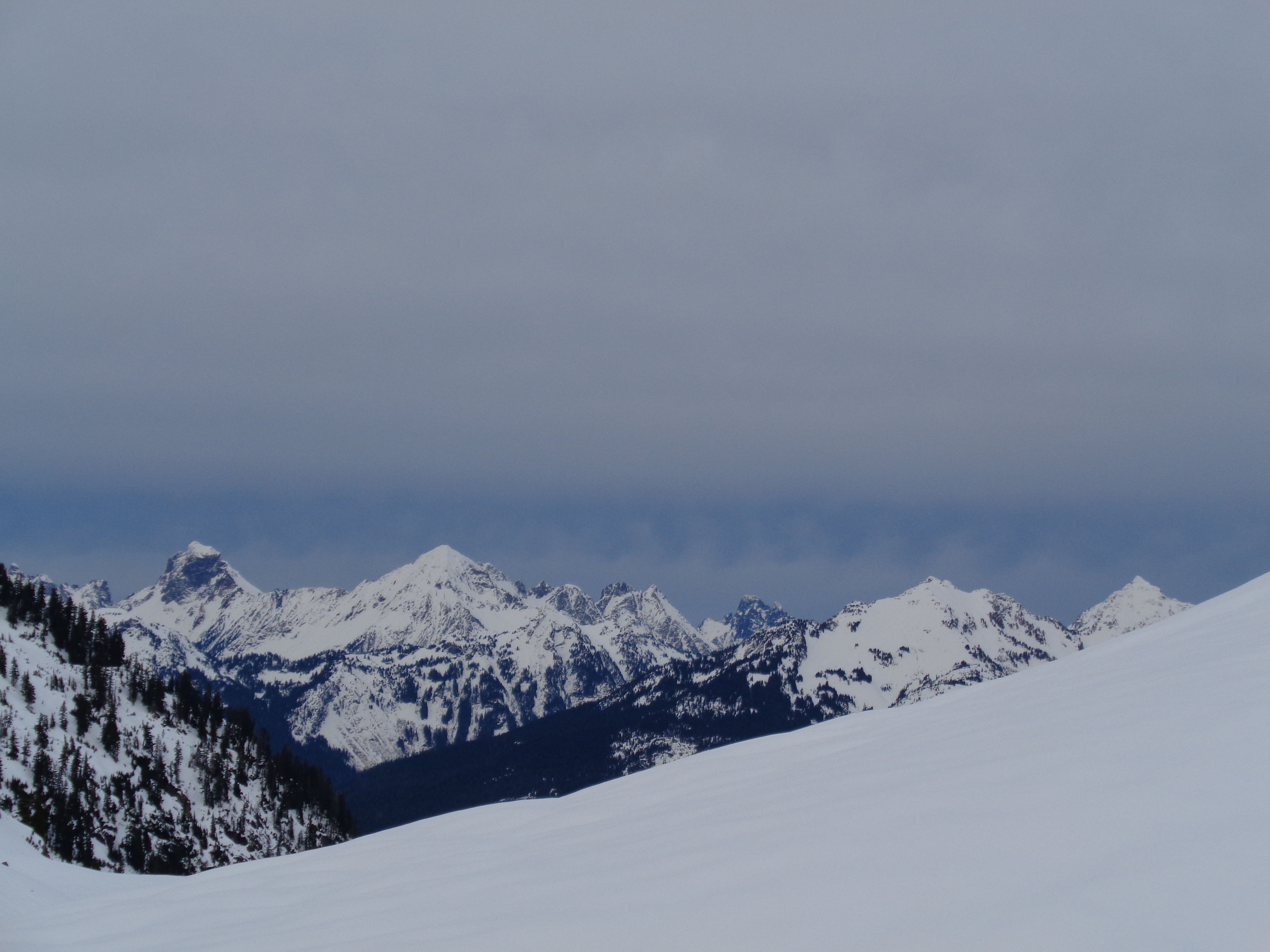
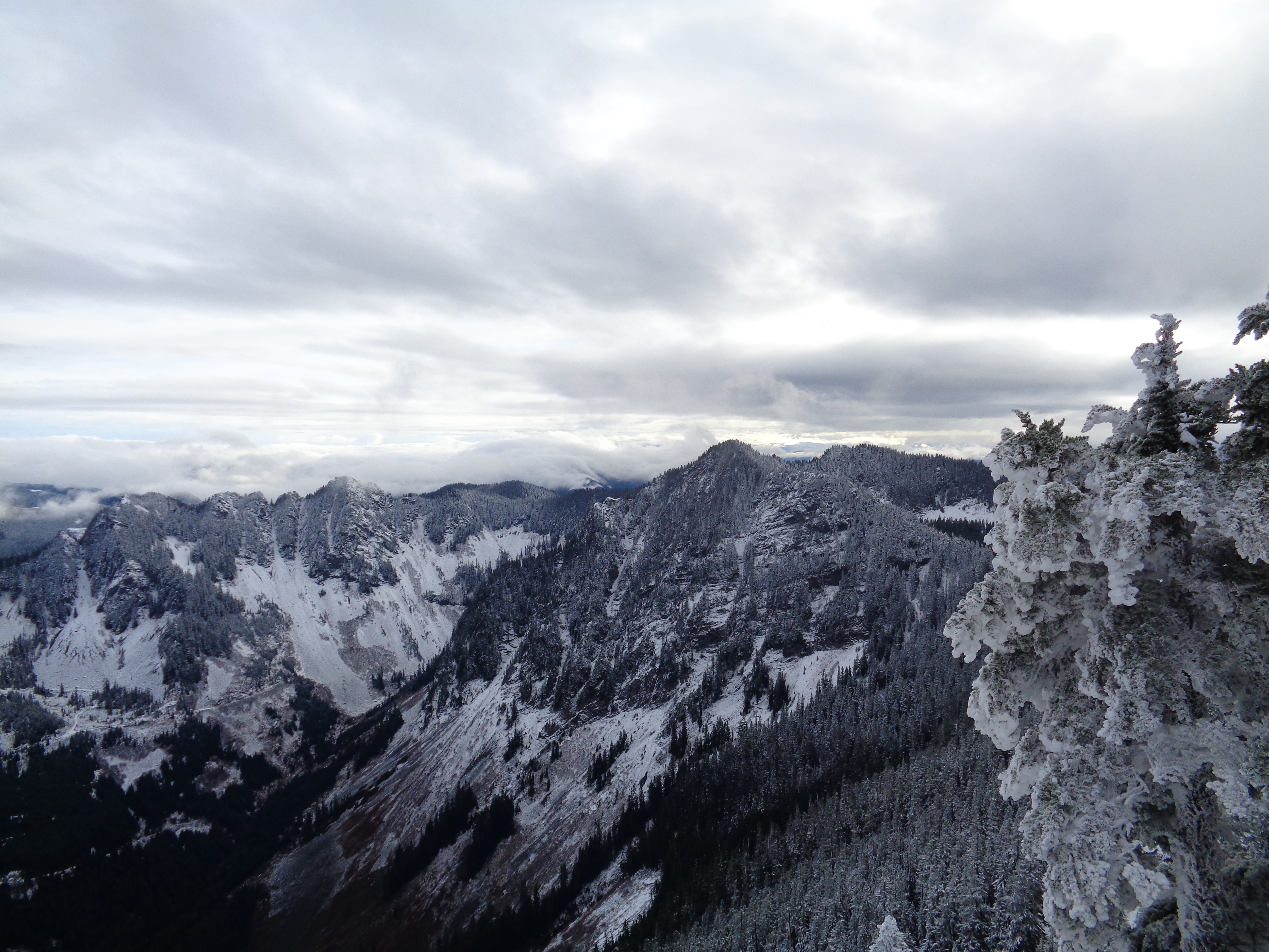
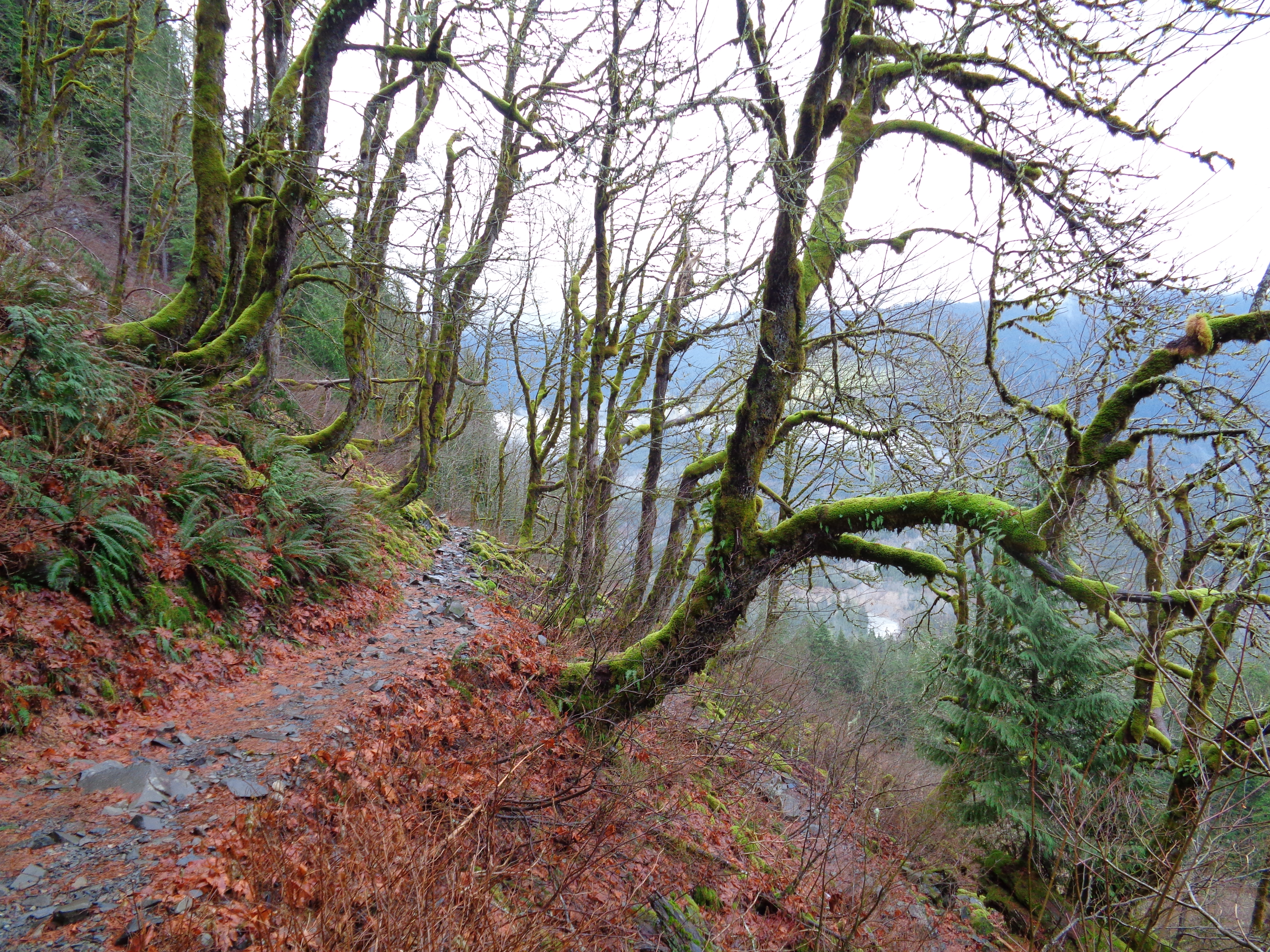
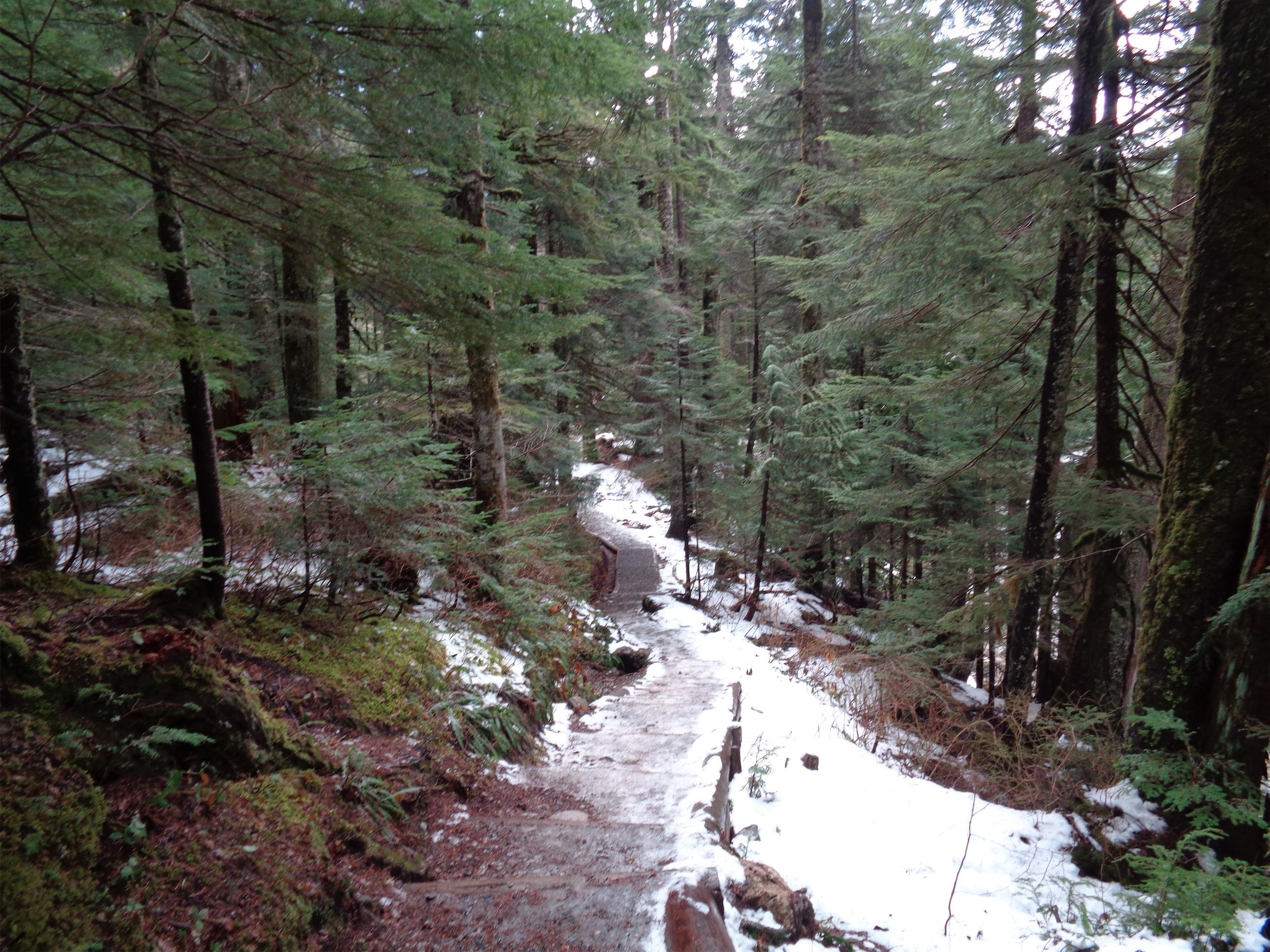
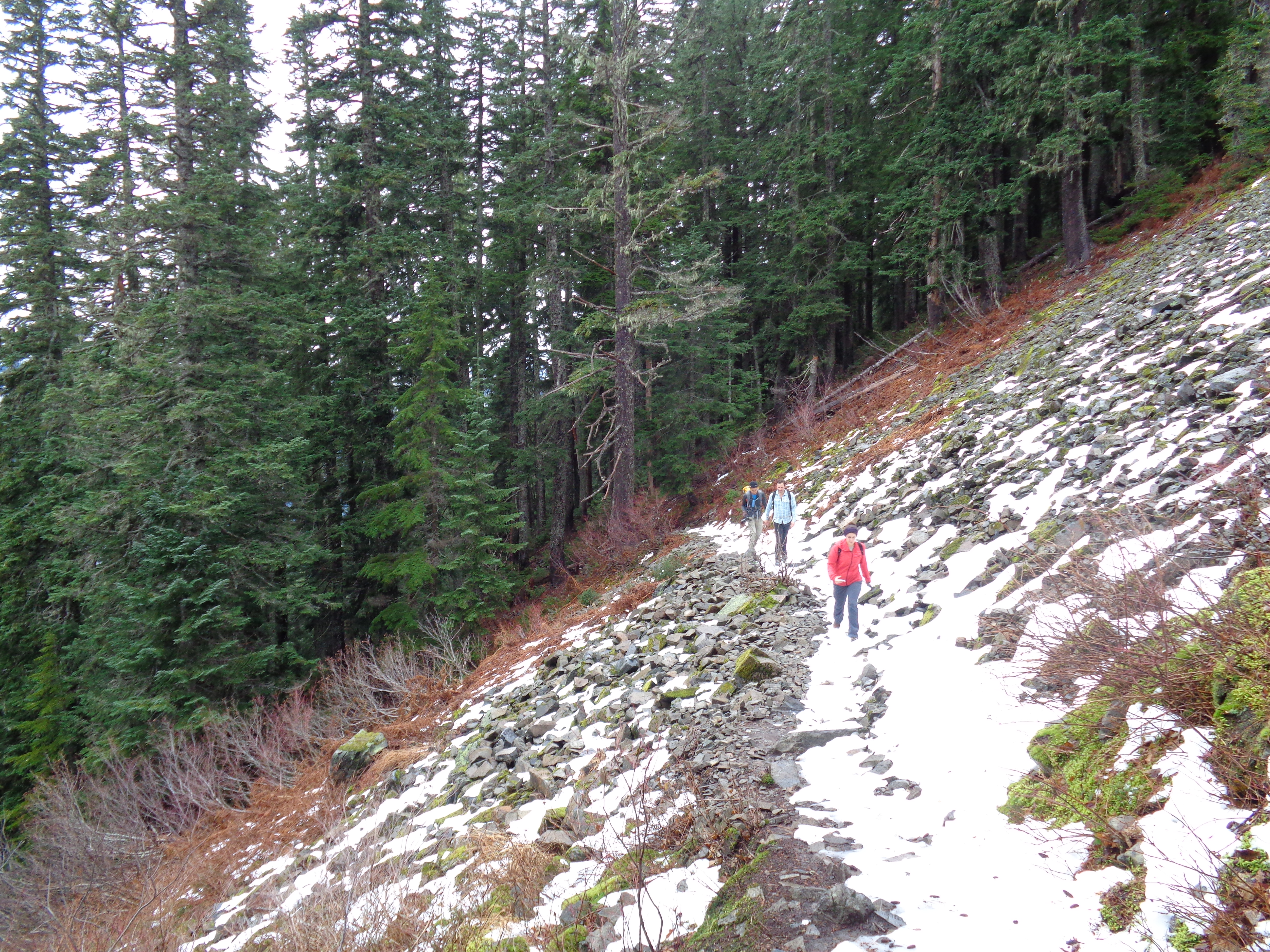
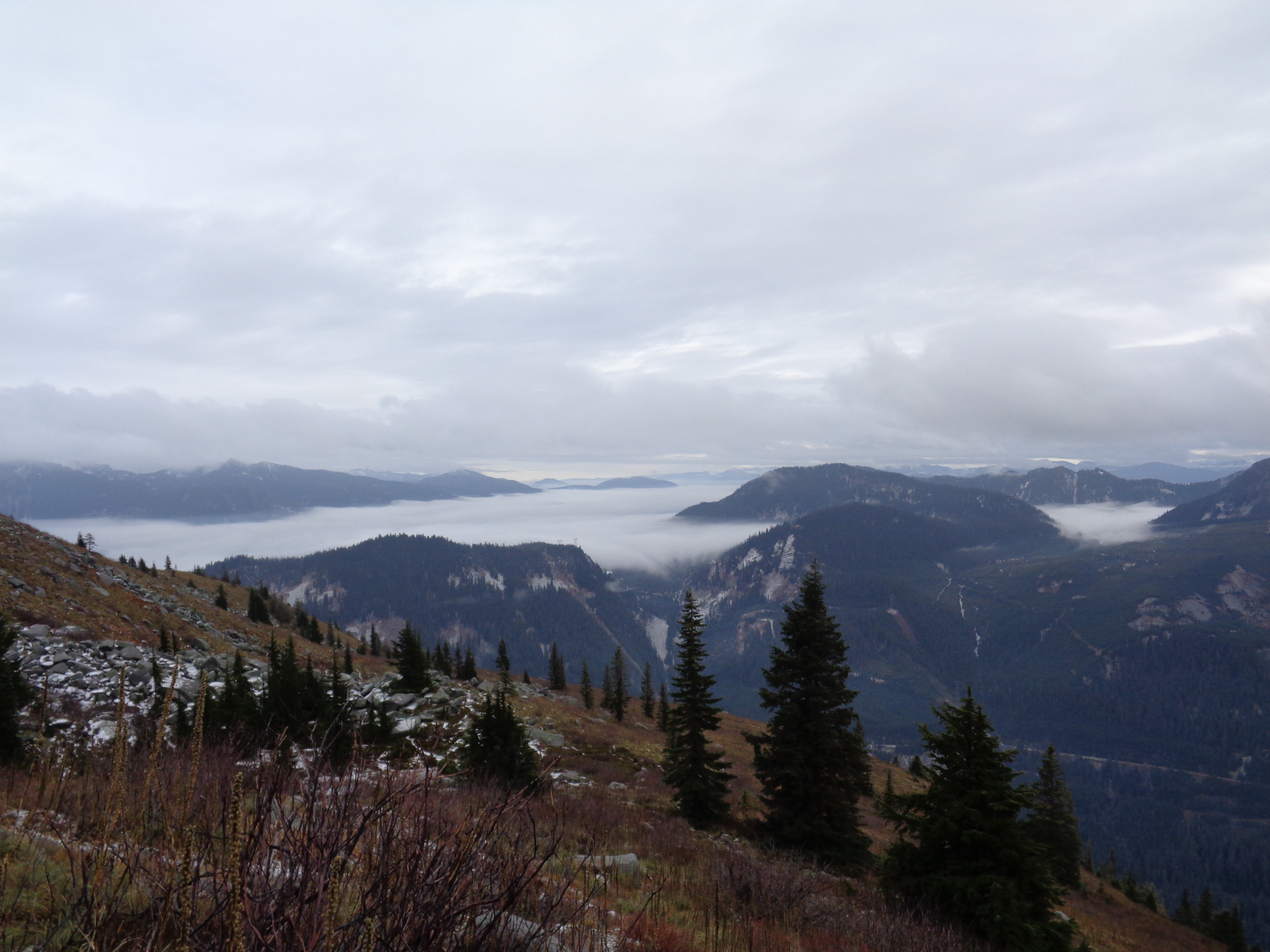
This is a well maintained, straightforward trail. Crossing the river was fun since someone had placed a few branches across it, complete with a tall one to use as a railing instead of rock-hopping. Eventually the wide trail narrows and steepens, and it starts to feel like a real hike and less like an old road. Views open up at the first switchback, and I started to realize how much I already take this for granted. While I was whining about hearing i90, Dave was taking pictures in every direction. Despite being cloudy, we could see half of Rainier, and most of the peaks in the i90 corridor. We could even see back to Seattle, which I don’t think I noticed last time. I must have been too busy looking at Rainier.

Looking back along the trail towards Rainier
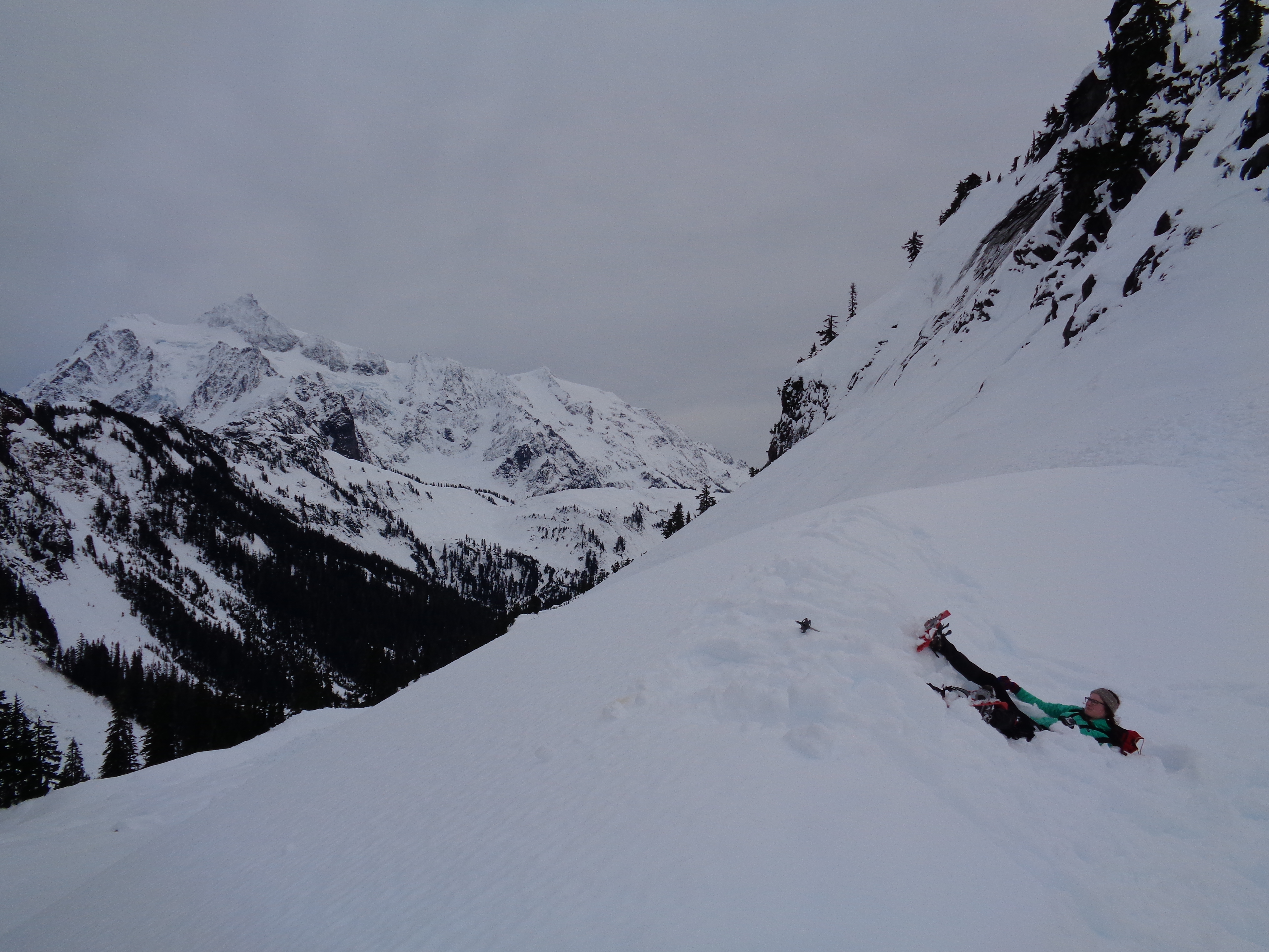
We got to the junction of Bandera and Mason Lake after about an hour, glanced up at the steepness of the Bandera trail, and headed towards Mason Lake. I had never done Mason Lake, so that’s what I was hoping for anyway – perfect! Finally, a new hike. You continue across a slope facing i90, which I’m sure is a gorgeous meadow in spring and summer but in winter was just barren, brown grasses and rocks. Just before entering the woods again, there’s a small boulder field to the left of the trail. We stopped there to take a few pictures and scramble around, and found the Ira Spring memorial plaque, which was a neat surprise.

Greener than the entire state of Illinois right now
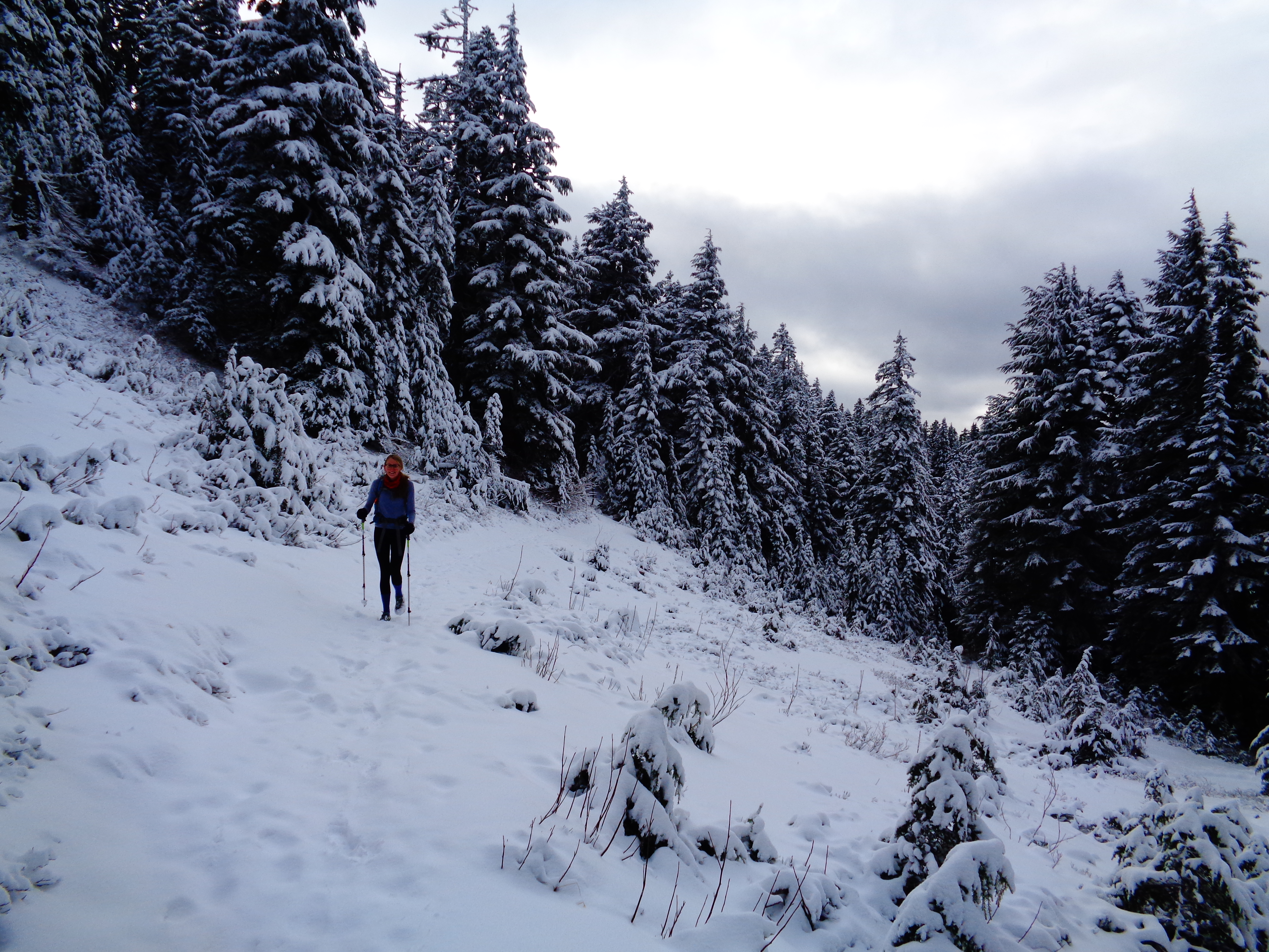
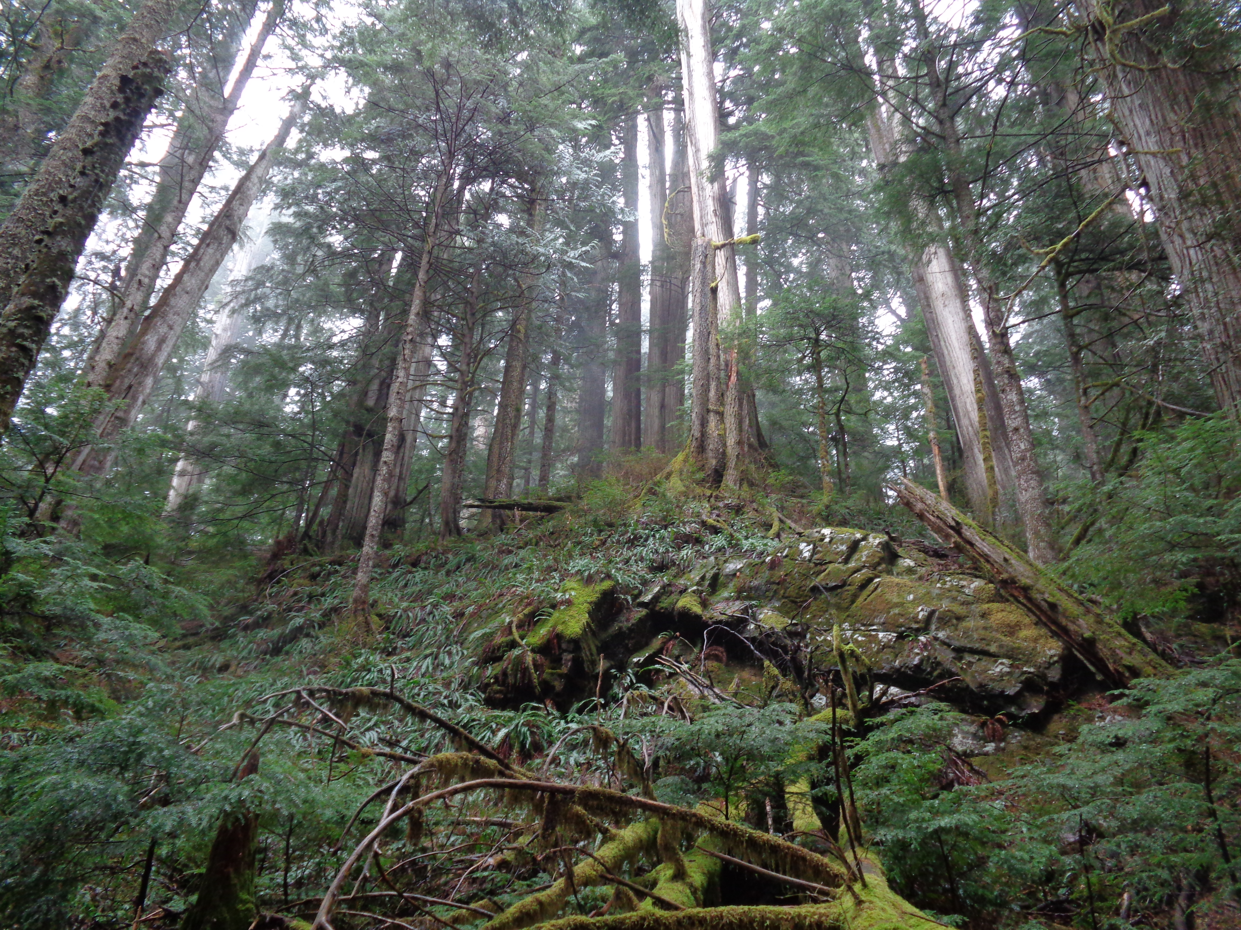
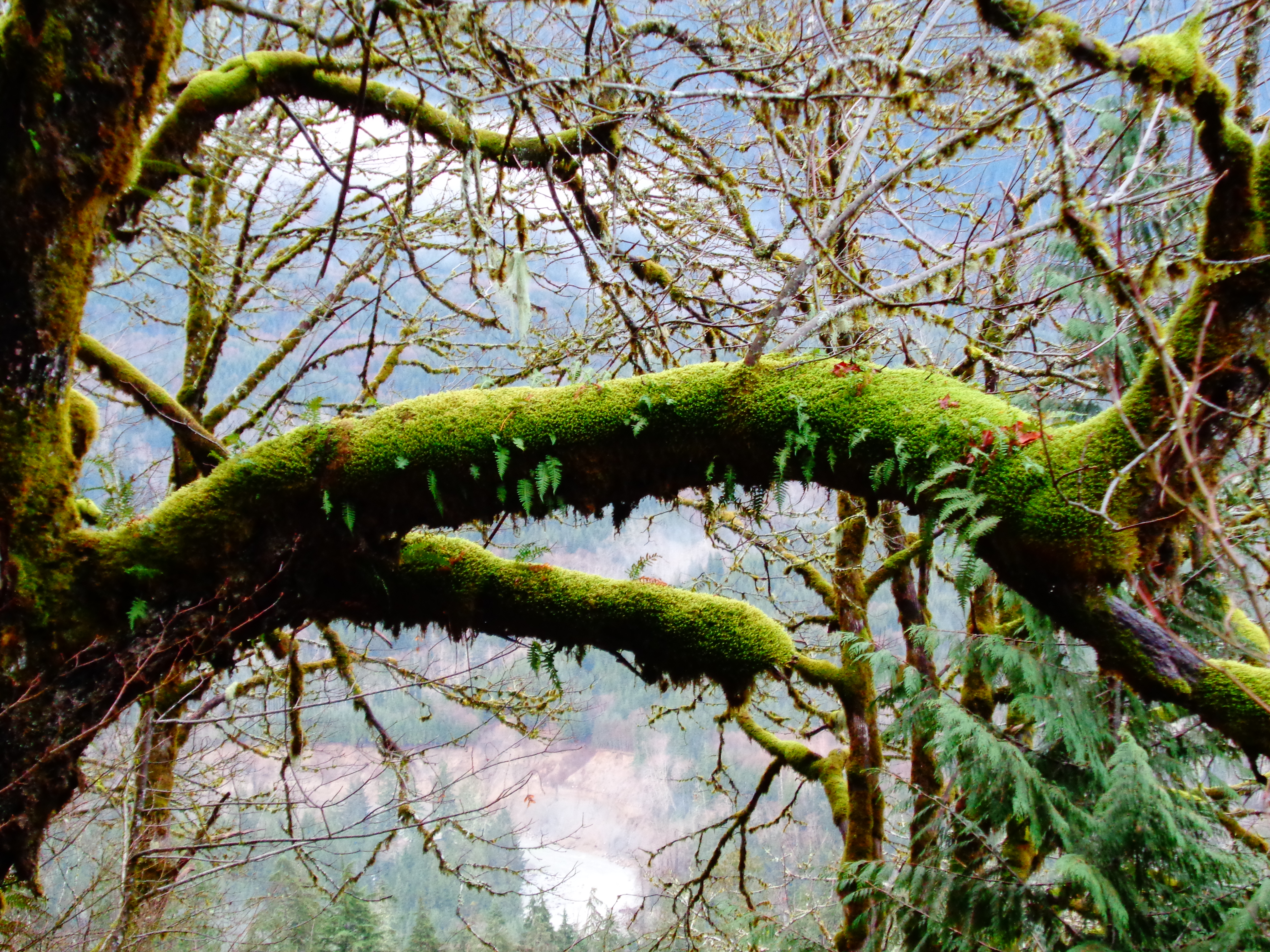
Continuing into the woods, I had another “holy shit it’s so green” moment surrounded by trees and moss. Like I said, Dave’s coming from Chicago, which is freezing and barren right now, and was basically happy to hike in a t shirt since this might as well be summer compared to where he was 24 hours earlier. Even crossing the exposed slope, there wasn’t much wind.
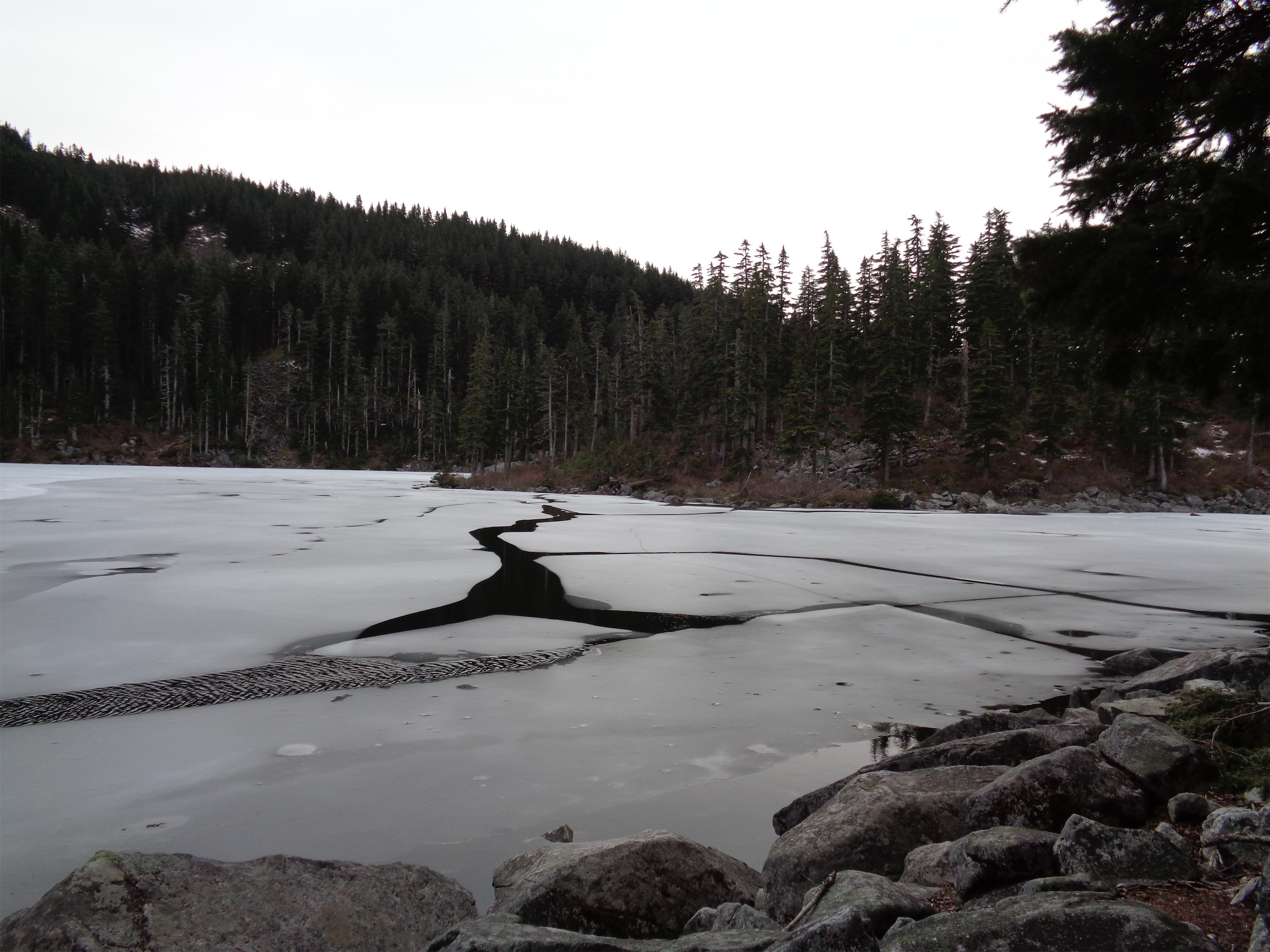
Cracks in the ice along Mason Lake
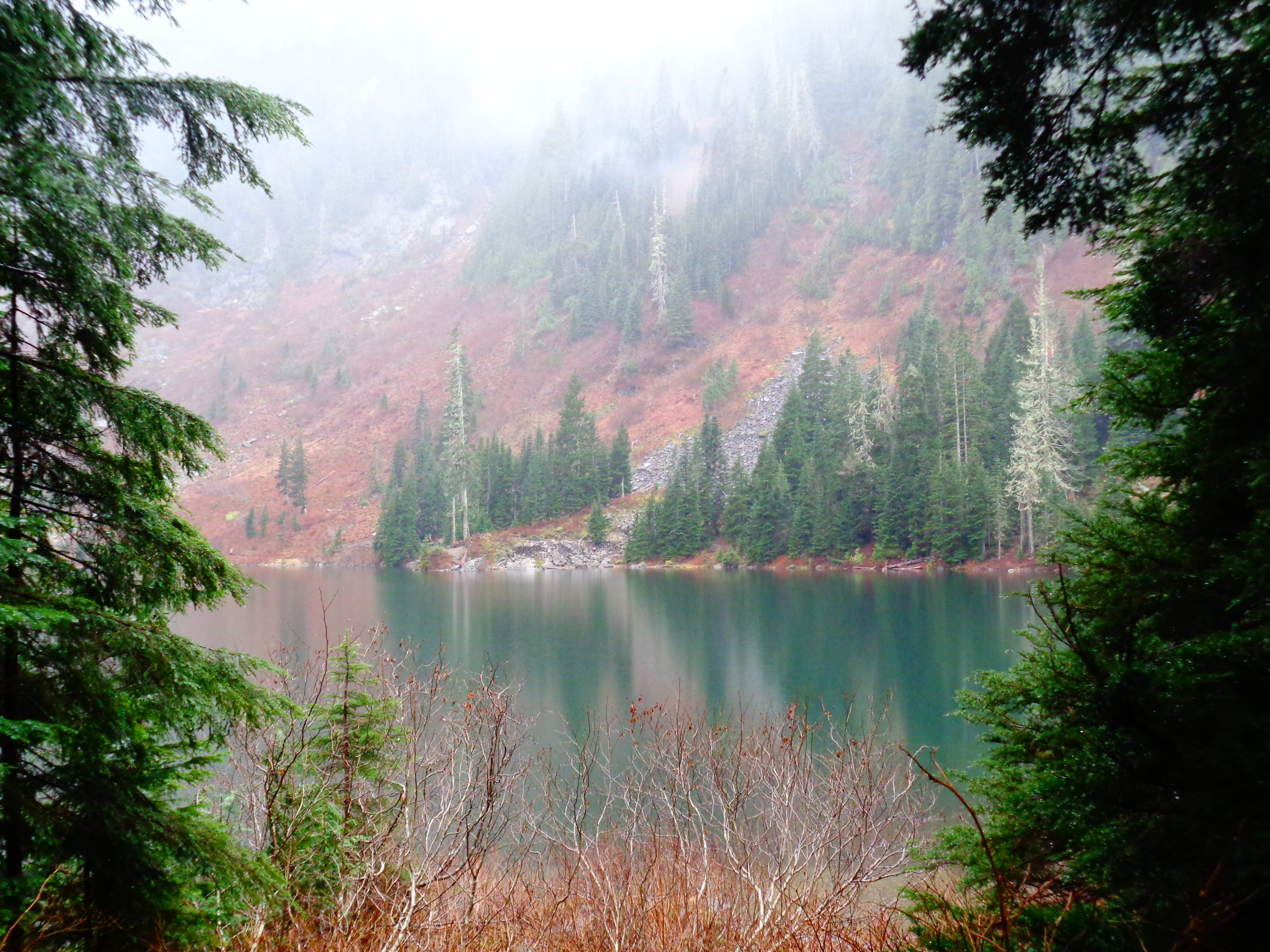
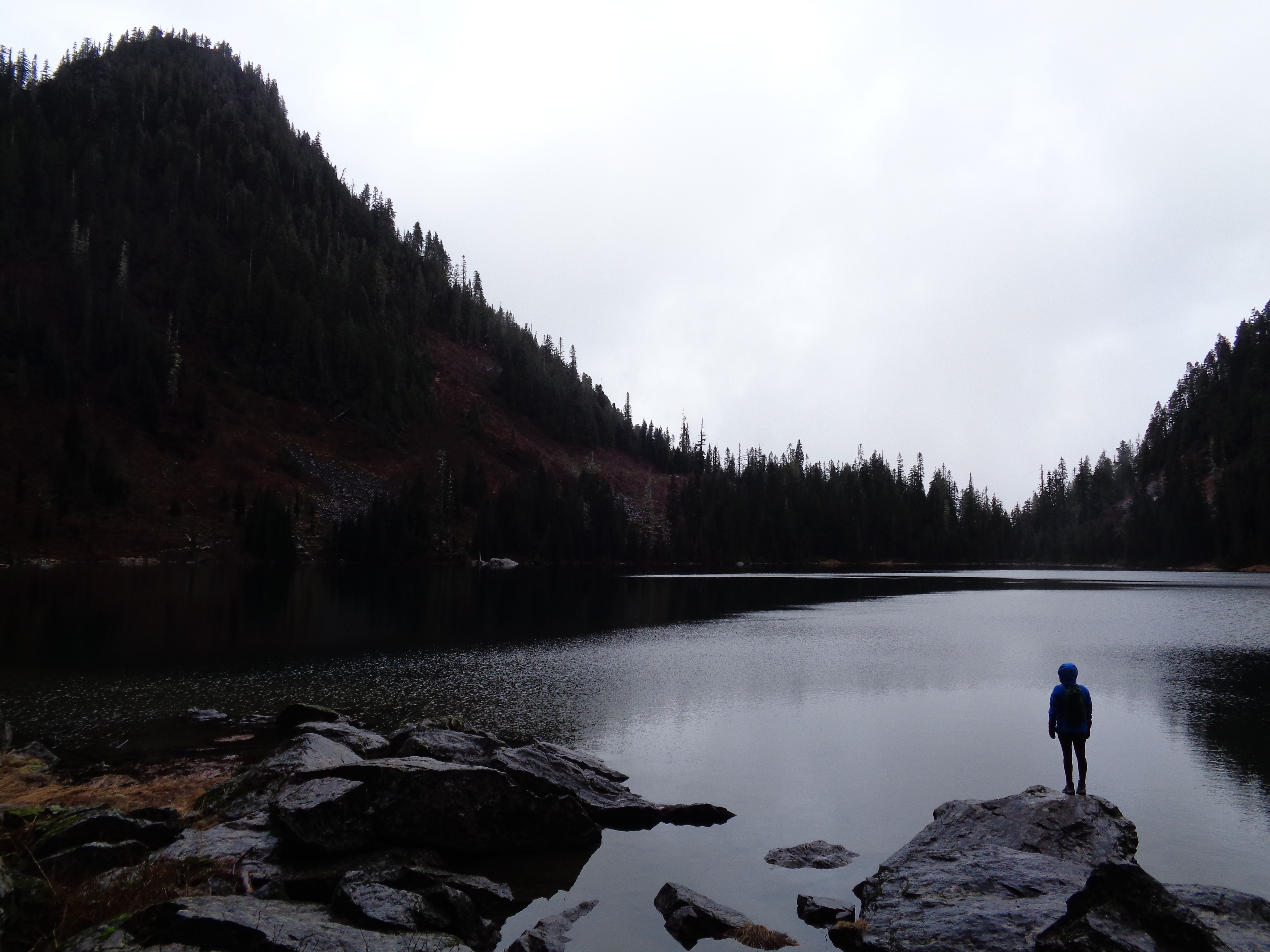
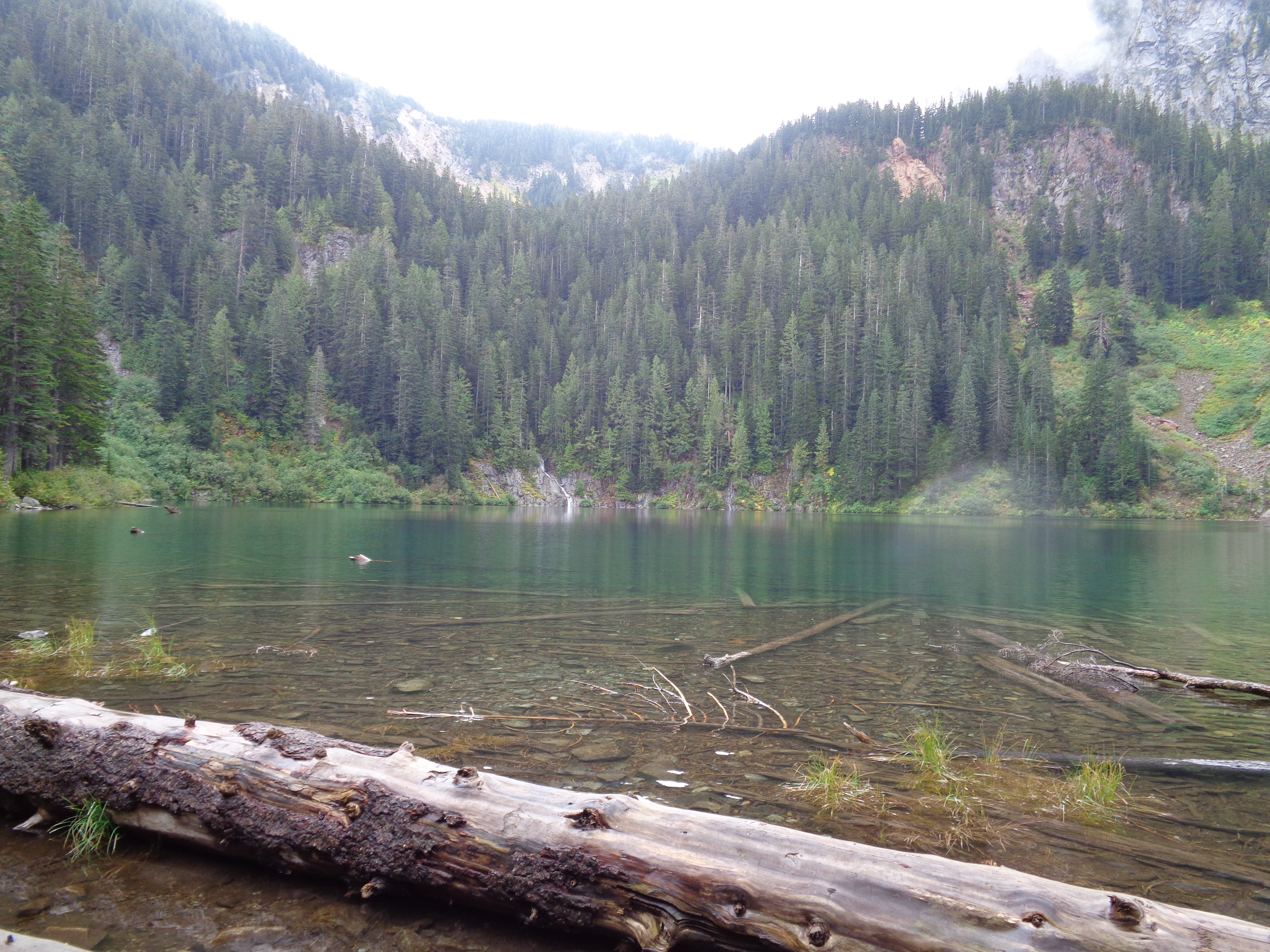
In fact, the windiest area was by far the lake, which we reached shortly after the trail junction. Mason Lake was mostly frozen over, with a few cracks running through the thawing ice. It’s crazy to think that just a few weeks ago, a couple guys camped out on top of the frozen lake. We crossed the outlet stream and followed the “lower trail” to the side of the lake to get some pictures from boulders on the shore. The “main trail” is the trail that connects many of the lakes in the Alpine Lakes Wilderness. I remember being excited when I realized Pratt was connected to Talapus and Ollalie and Rainbow and Island and even Melakwa which was connected to Tuskohatchie… well throw Mason into that mix with a few others, because the trails all interconnect. I’ll backpack that route somehow, and then scurry up Defiance to see as many as I can see.

Couldn’t resist
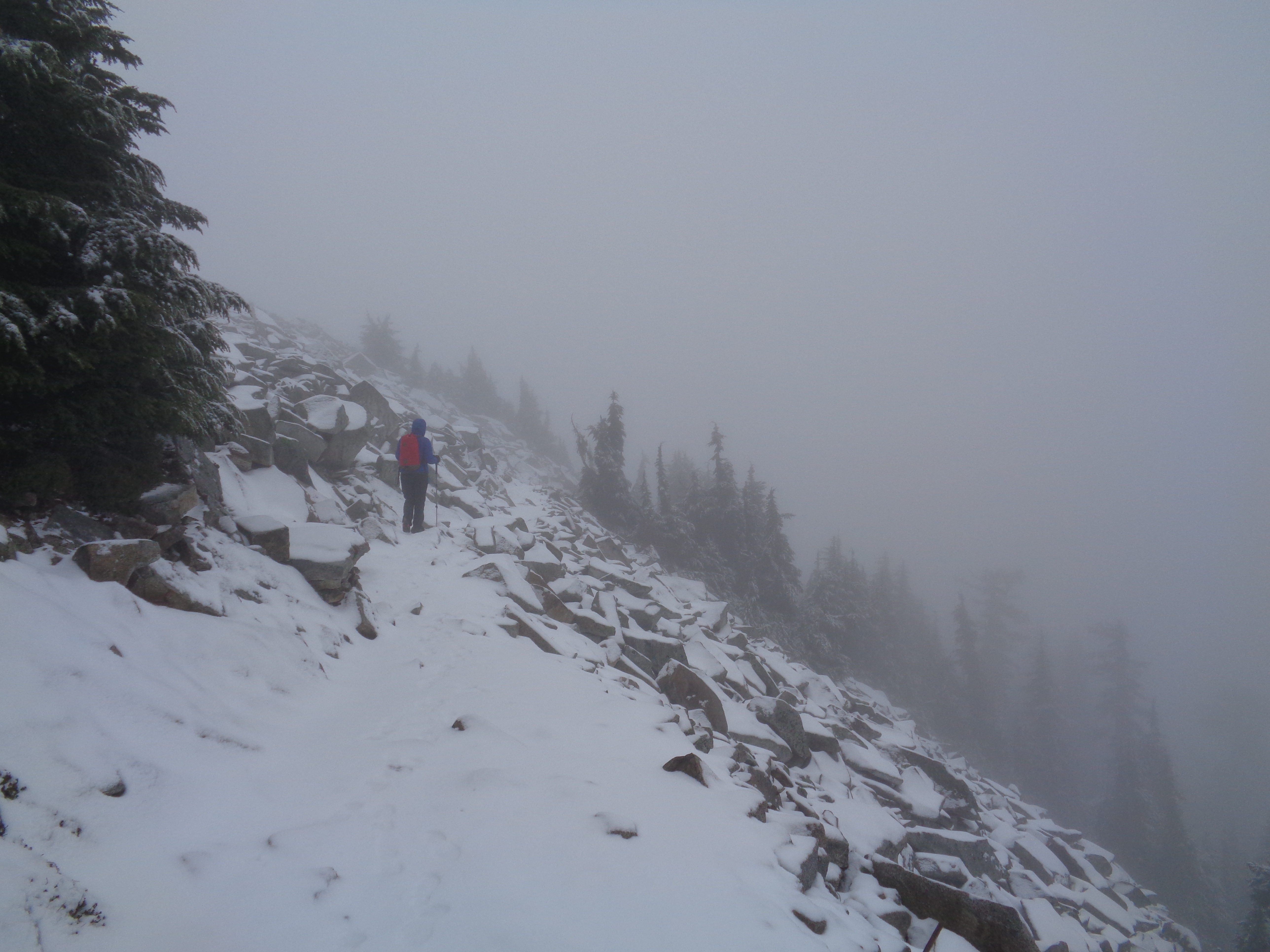
We turned around a little before 4:30 after taking a short break at the lake, and it was perfect timing. The way down went much more quickly, and we got back to the trailhead in just over an hour. Perfect timing, because the “hint of sun” that was peeking through the clouds had finally set. I’d say Dave had a pretty solid first few hours in the state of Washington. Even if it’s a six mile round trip off i90, there’s plenty out here that you just don’t get back in Illinois. I remember the first time I saw Rainier on a hike, I was running up Kendall Katwalk on a hike and glanced behind me after leaving the forest and seeing Rainier peaking out and absolutely losing my mind.
Here’s a quick map of the hike on Strava if you want to see the trail and topography. No surprises there, we never left the trail. Overall, great quick hike, and one of the few popular ones off i90 that I hadn’t checked out yet!

Screenshot of the map