
I know I know I’m way behind on writing. Just going to jump to recent trips and maybe someday get caught up on past ones. I seriously think my job (heavy on documentation) is interfering with my enjoyment of writing despite wildly different styles and genres. But I’ve had the itch all week this past week, so here’s a good short report (more pics fewer words) to start reviving things! Rampart Ridge on July 3rd via Lake Laura/Lillian, considered the “back door” route.

- Distance: 6mi
- Elevation: 2,700ft gain, 5,800ft highest point
- Weather: 60’s and sunny
- Commute from Seattle: 90min (amazing)
- Did I Trip: caught it
We were fresh off our friend Eva’s wedding, so I think we all felt varying levels of lethargic and lazy, but Brooke and Forrest were only in town for the next ~12 hours, and we figured we’d go for a hike. Forrest suggested Rampart Ridge via the backdoor route, which I had actually never done. I had been up to Rampart Lakes via Rachel Lake, but never all the way to the ridge above, and never via the shortcut. I have heard amazing things, plus it’s a shorter drive and shorter trail than the Rachel Lake route. Twist my arm, I’ll be there.
We got to the trailhead at a casual 10:30am (“bonfire start” as we call it, the opposite of an alpine start) and there were only four other cars. I thought Brooke and Forrest might need to hitch a ride based on reports of the road to the trailhead being heinous so I waited at the last turn before the road got narrow only to see them tokyo drift the switchback and carry on full steam ahead. They made it in their rental Honda CRV hybrid, for anyone curious, with only some minor body damage thanks to having to pass another car on the extremely narrow, overgrown road. I had to pass the same car (a Subaru) on some ruts I knew they wouldn’t want to reverse up, so I reversed maybe a quarter of a mile and pulled over in a ditch so they could go around me. So you don’t need high clearance per se, I would recommend an overarching lack of concern for your car’s paint job and aesthetic, and a decent pair of balls.

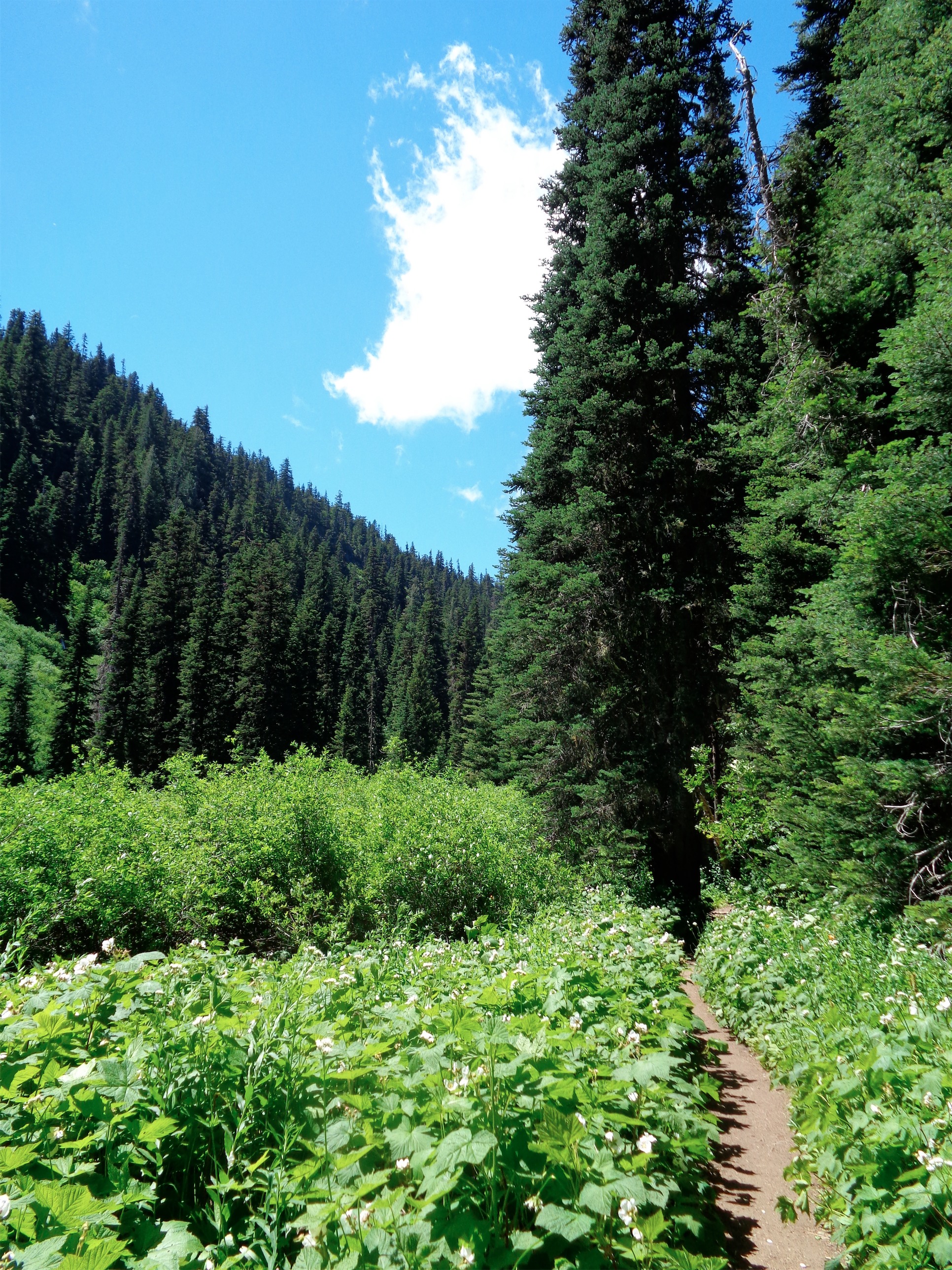
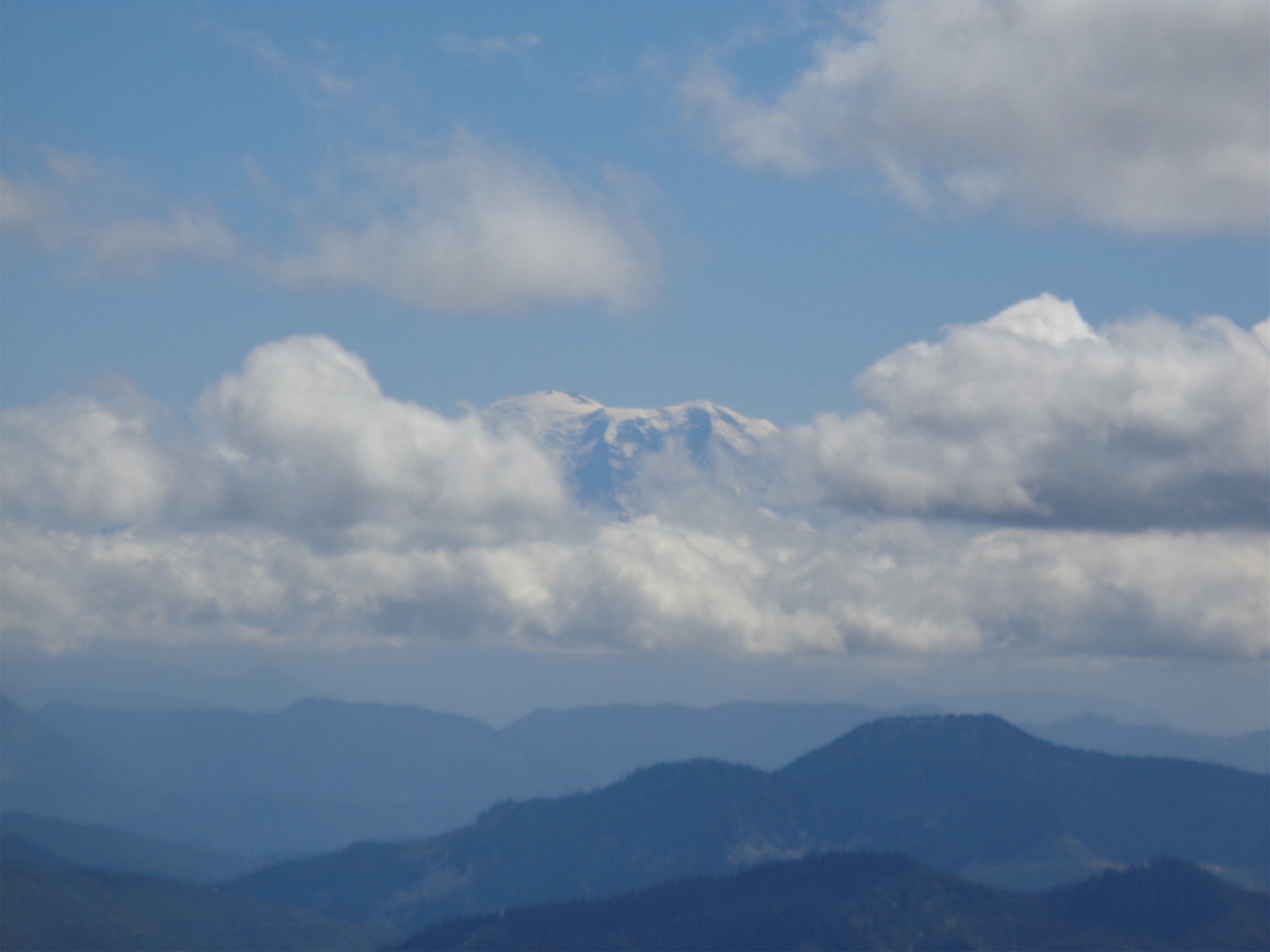
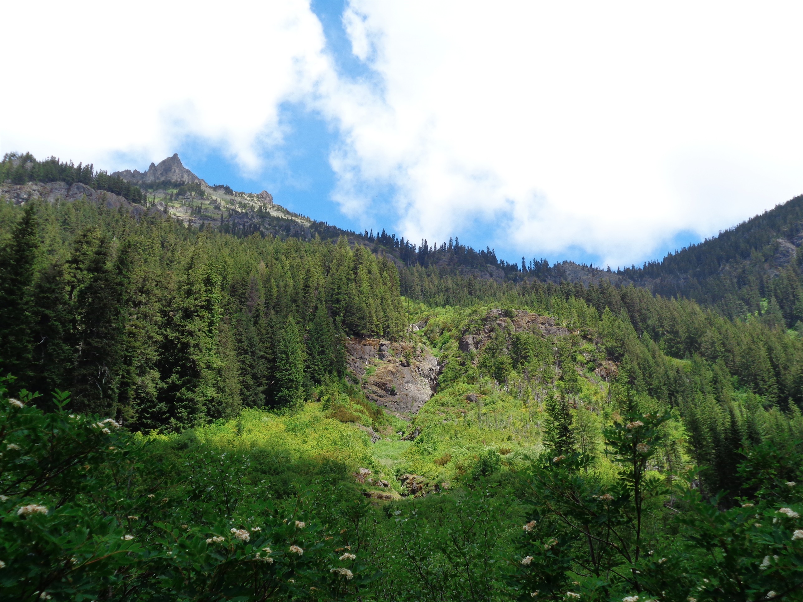
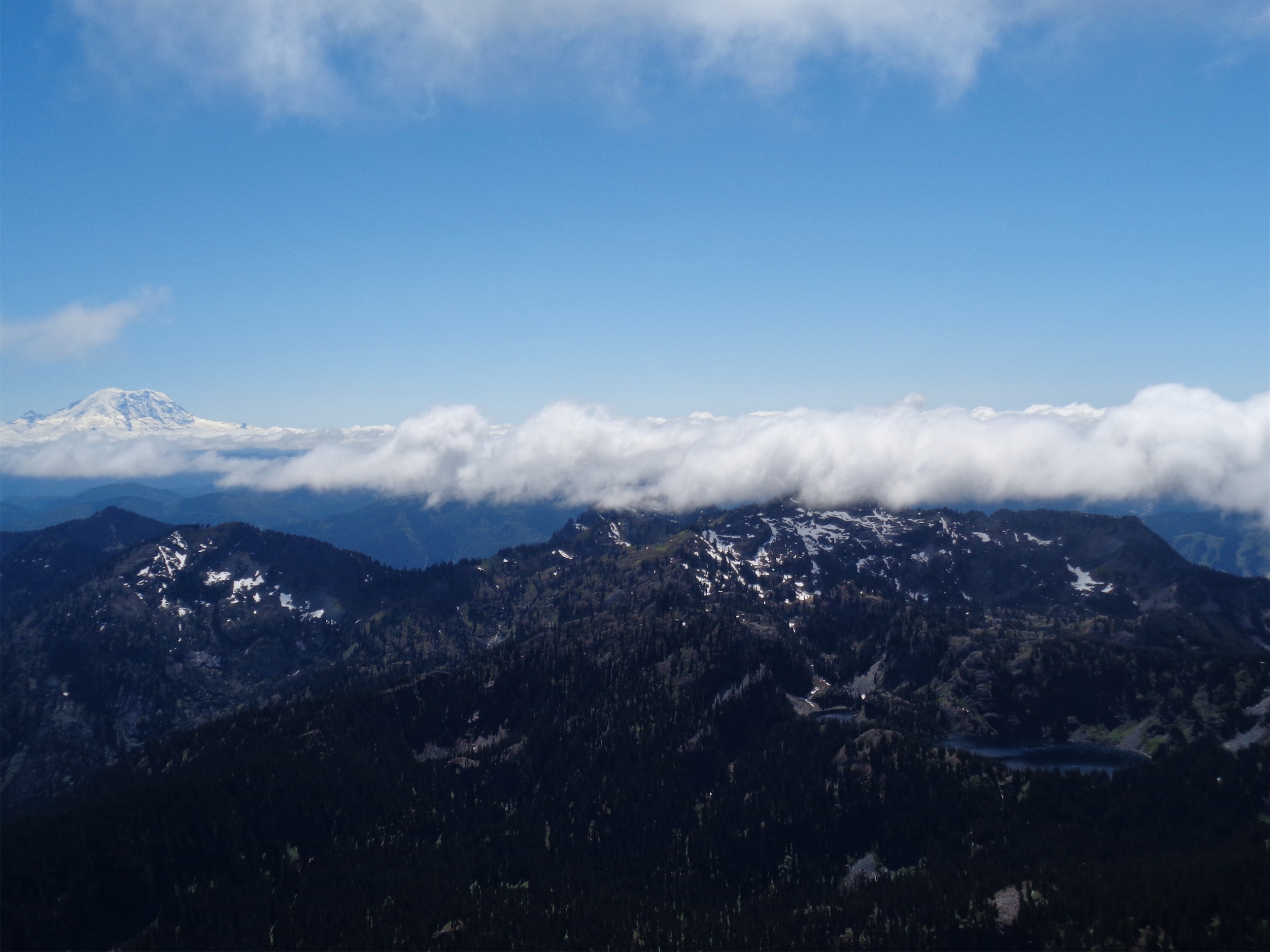
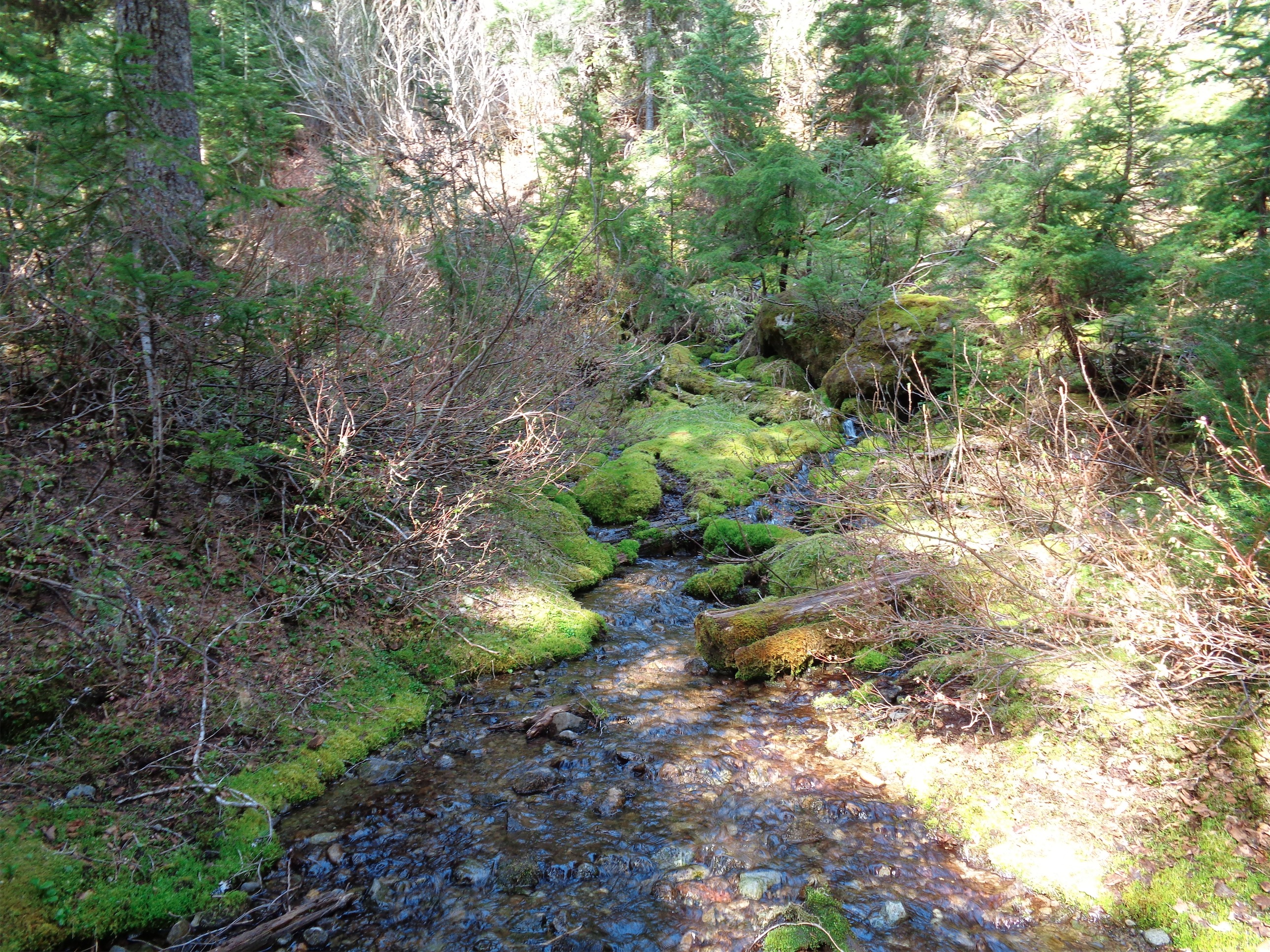
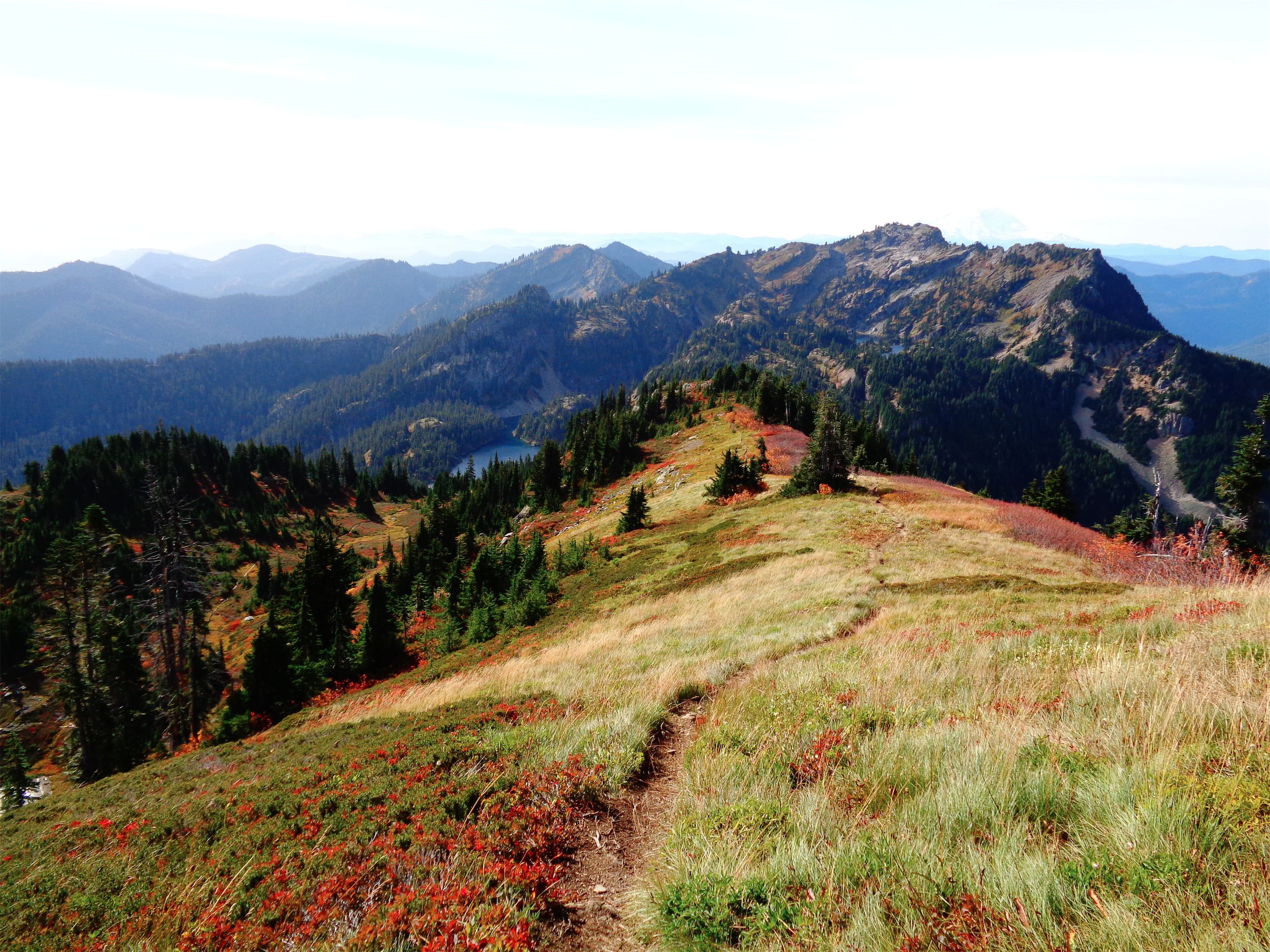
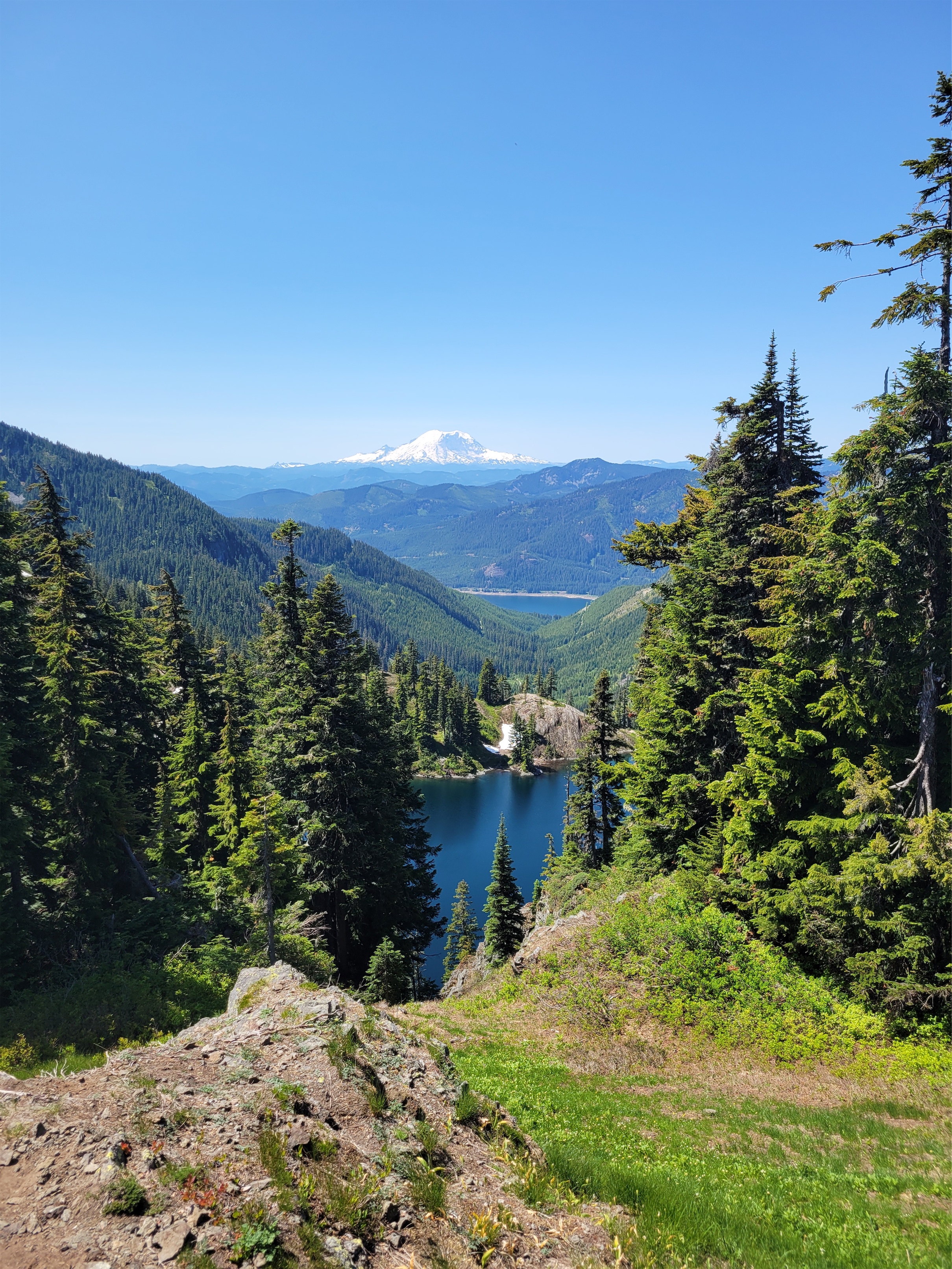
Forrest is a mutant in the mountains and fresh off a trail marathon, so he took off at a pace I knew within minutes would not last for me, feeling more like an undercooked pancake of a person than an athlete. The trail to Lake Lillian is steep, more of a climber’s or fisherman’s trail than a hiking trail but that means you gain elevation quickly. We tromped up through trees over 3rd class roots and rocky steps I knew would be brutal on the way down. We took a detour to an awesome waterfall throwing rainbows at its base with a perfectly framed view of Rainier. It’s only a mile to Lake Lillian, but oh boy it felt LONG. At the lake we finally ran into people and made a new pup friend before carrying on to the ridge.
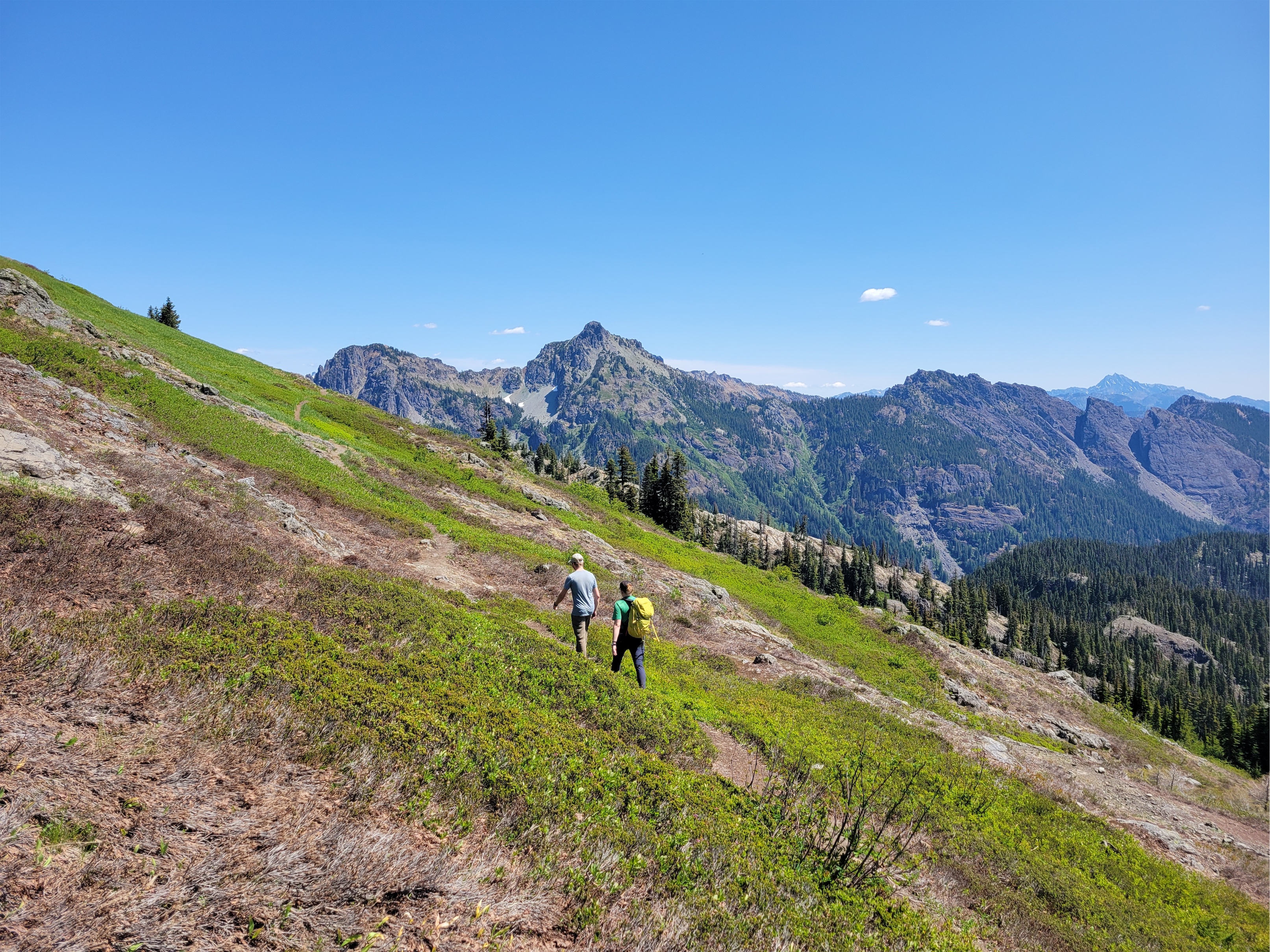
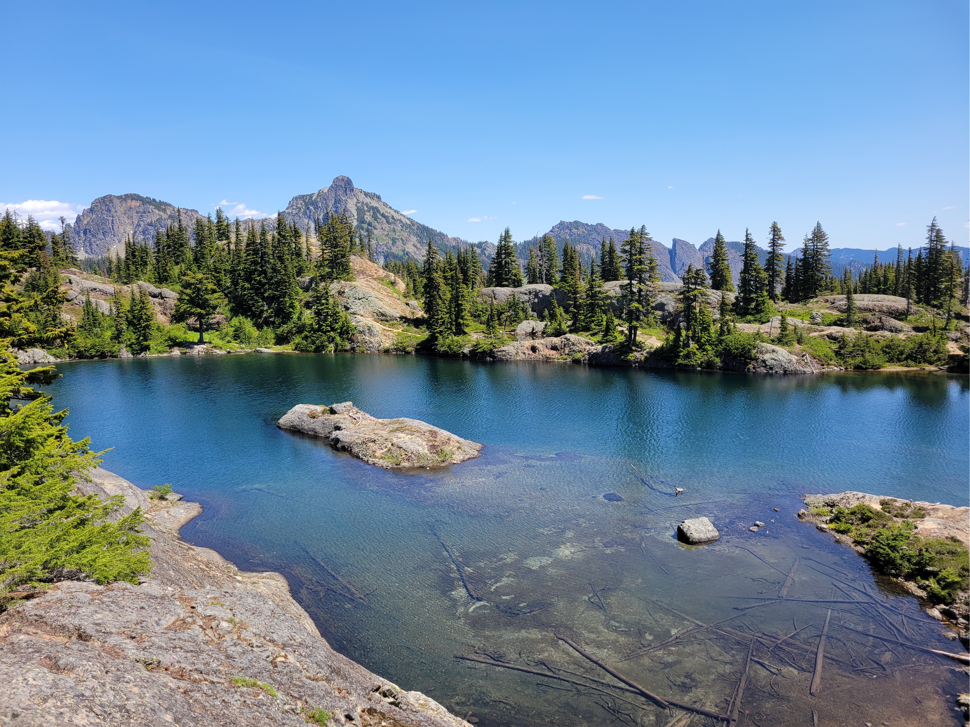
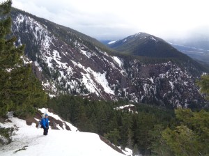
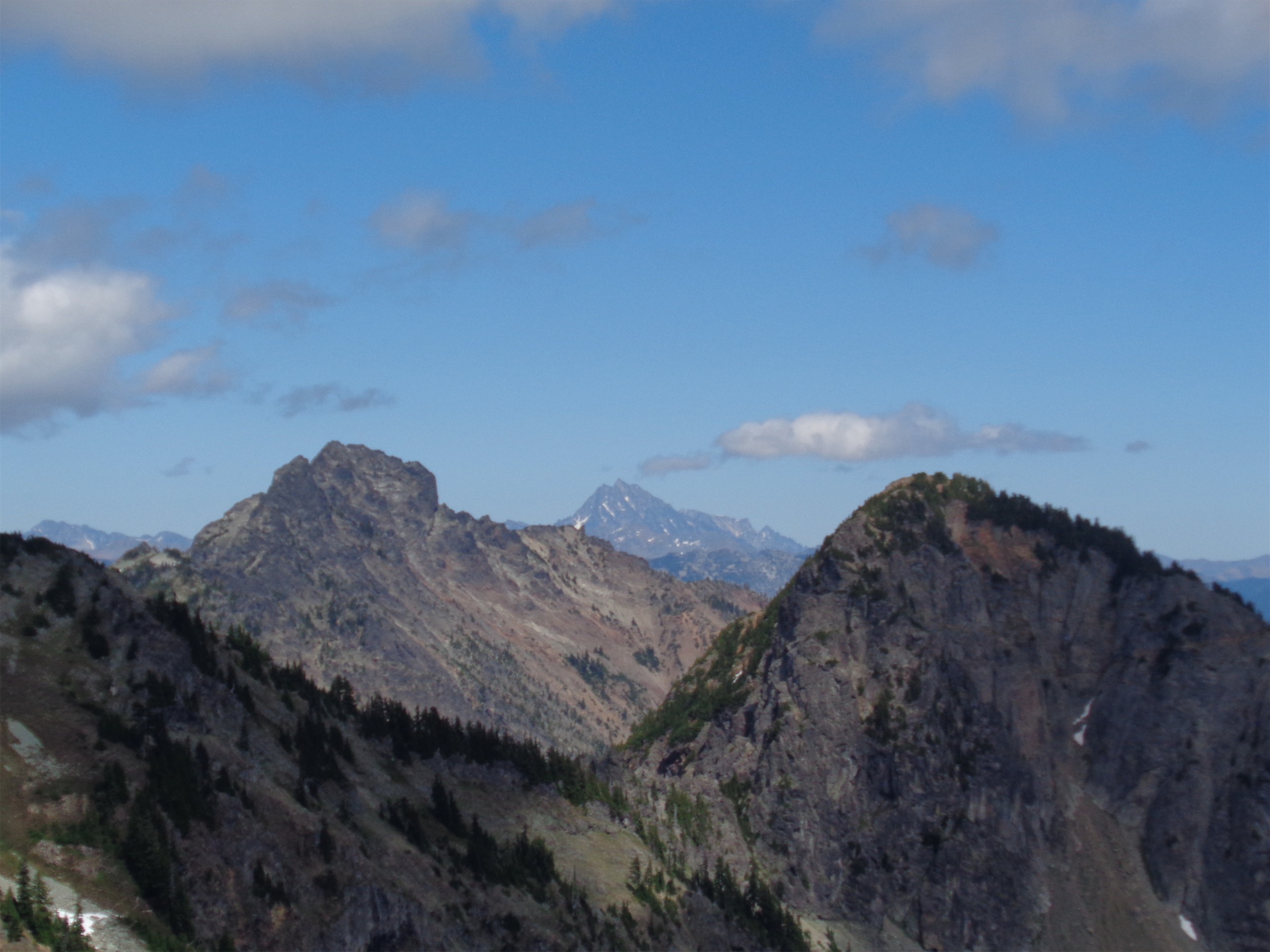
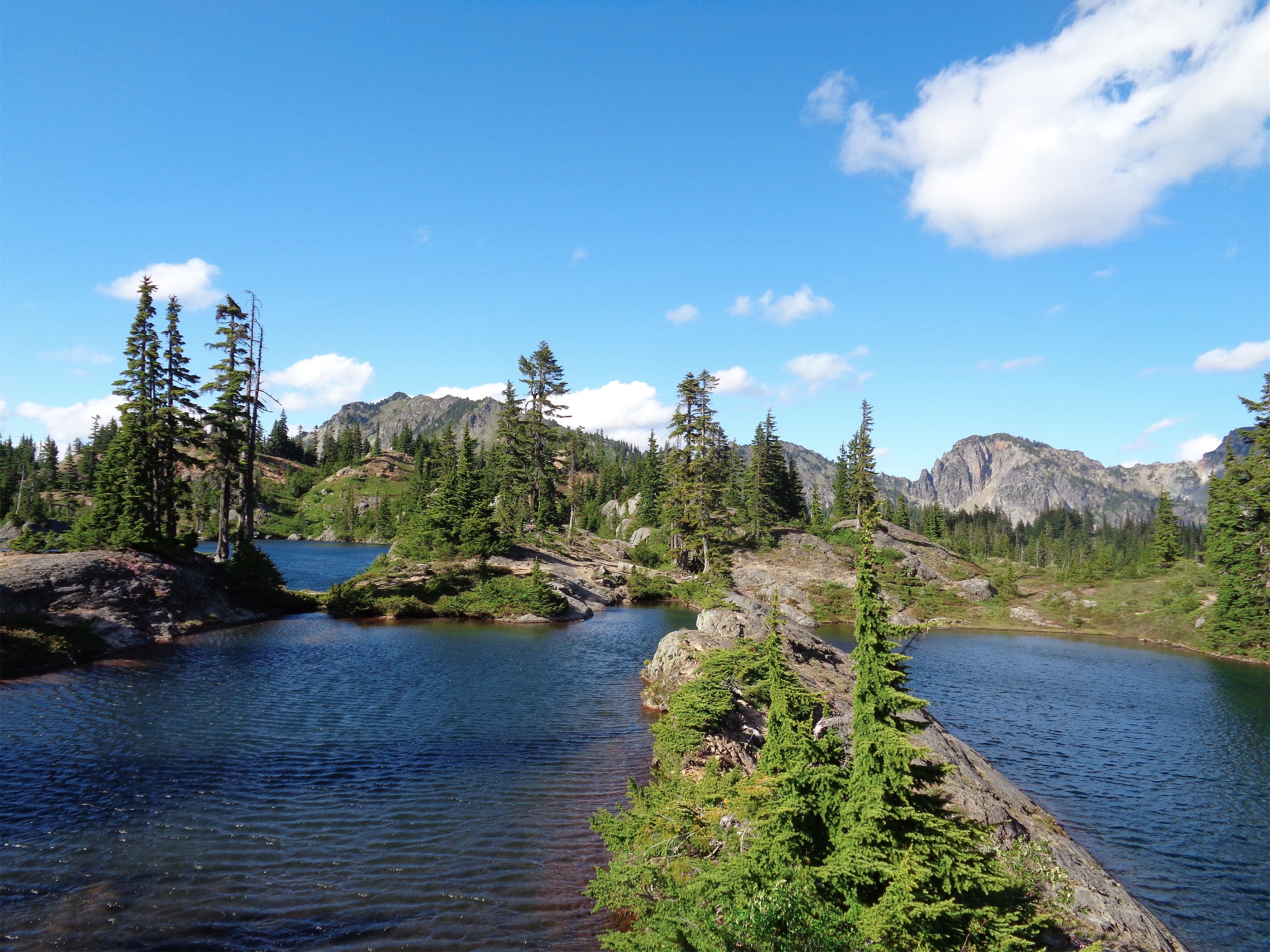
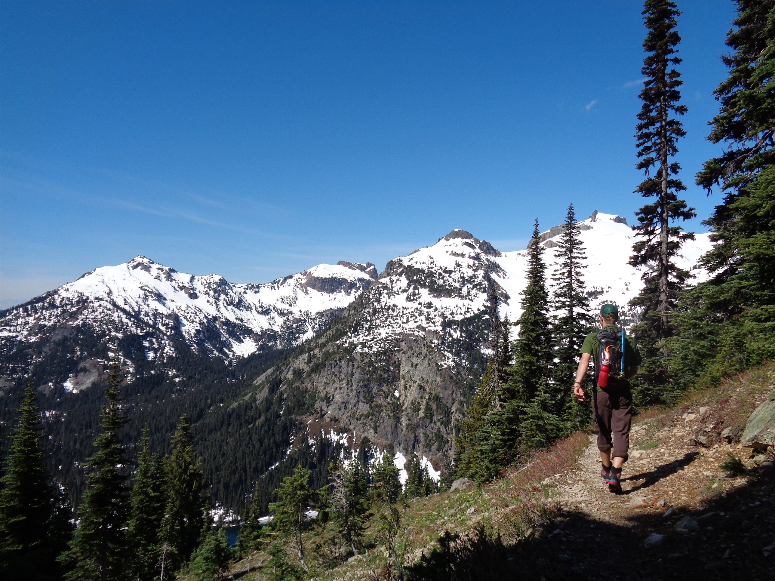
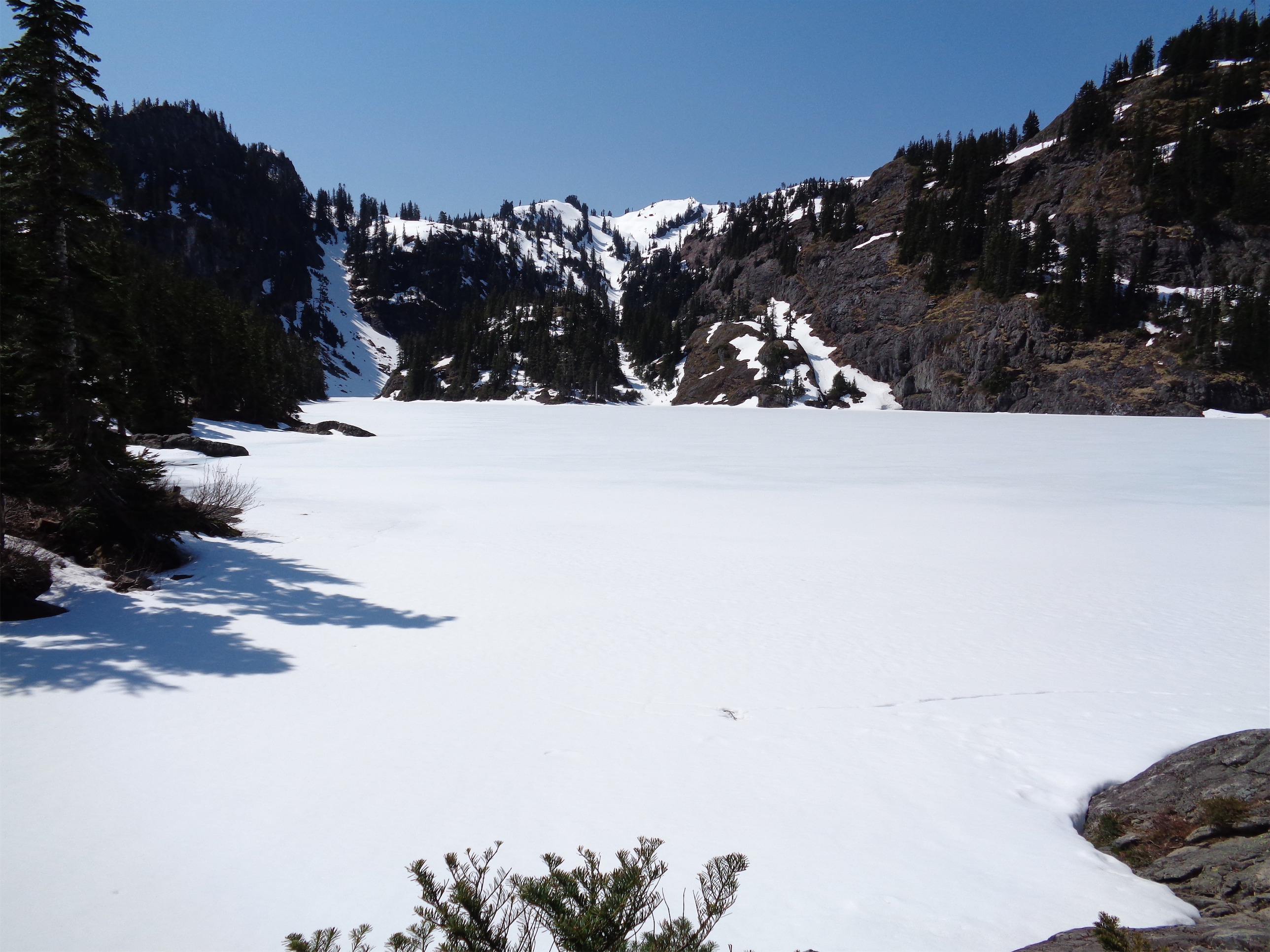
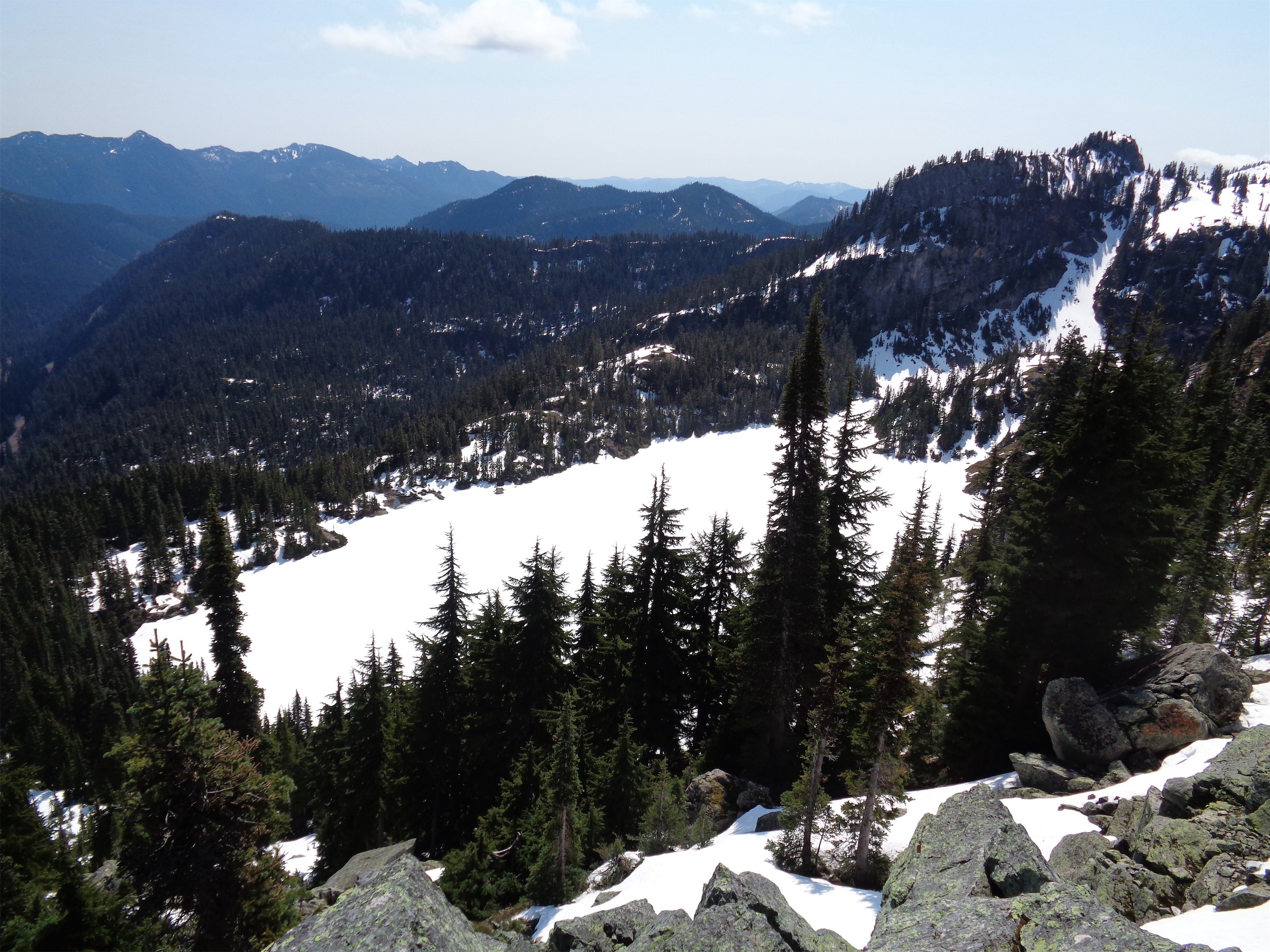
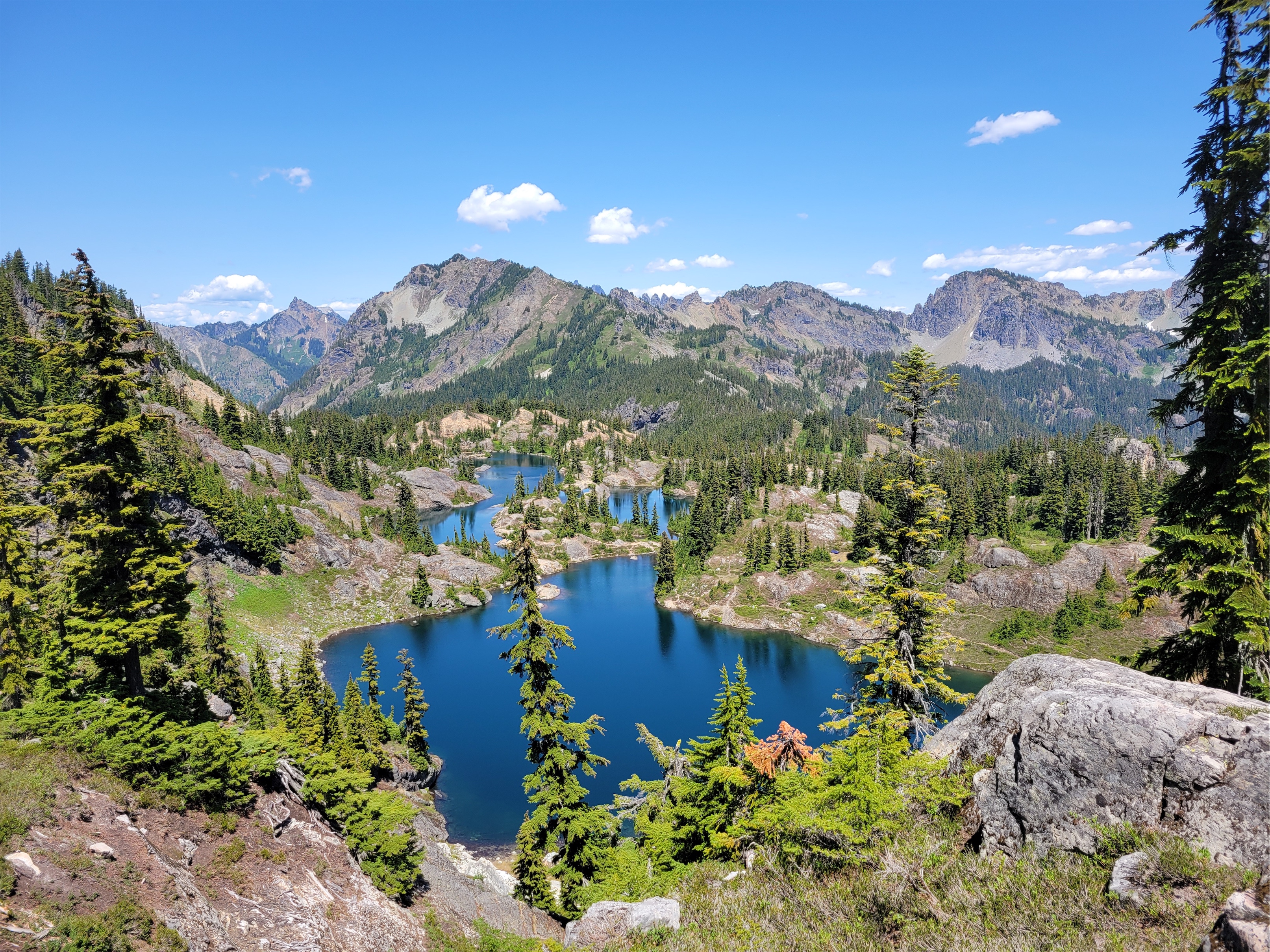
There are two routes to Rampart Ridge from Lake Lillian, an east and a west. We took the east route on the way up, keeping elevation relatively low and following clear trails wrapping around the shoulder of the ridge before dropping towards the lakes. Views of Hibox were amazing but to my surprise the meadows of avalanche lillies were already past prime. I exited trees onto a snowpatch and was ambushed by a snowball fight, and after more subalpine rambling we finally came upon the first lake.

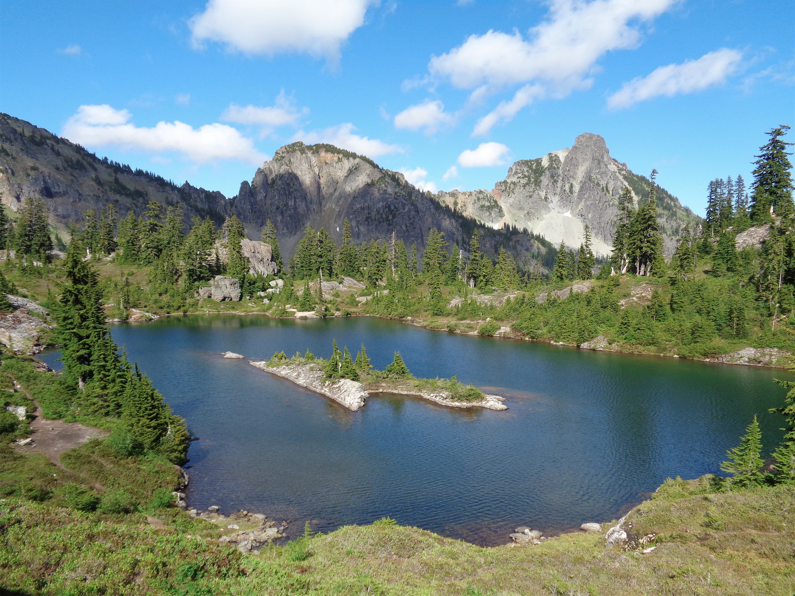
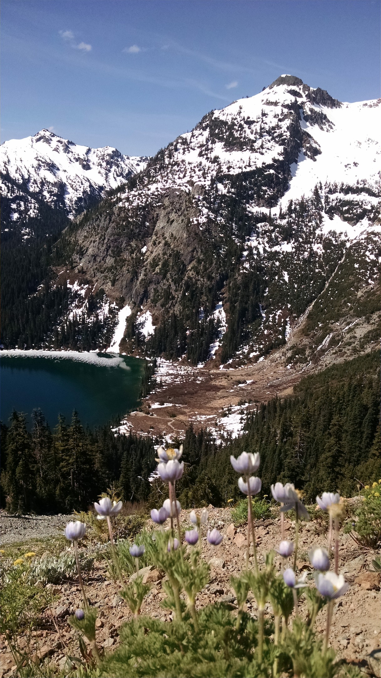
There are a million social trails up here, and what feels like a million lakes. How do we know which one to jump in? If we had more time, the answer would be “all of them.” But with a return flight to San Francisco hanging over our heads, we just had to trust we’d know it when we saw it.

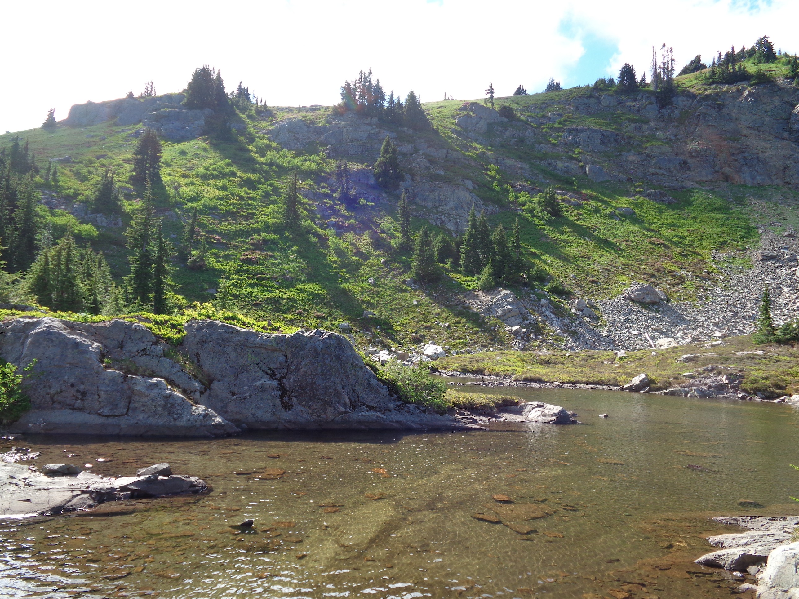
We ran into a few campers, a snake, two frogs, 10,398 mosquitoes, and a fish. We never went far enough east to get a view of Rachel Lake, rather we stayed west and finally stumbled upon a really cool rock bridge (for lack of a better term) where we decided to take a dip. We were able to jump off the rocks into deep water, no time to think about what you’re doing or how cold it’ll be. The best campsite was right on the other end of that rock bridge, pretty much at the northernmost tip of the northernmost lake. The only downside is the established toilet (not qualified for a classic crap due to lack of views) is basically at the opposite, southern end of the lakes. Oh, and mosquitos. They were all babies, and only bit us while we were wet (weird? as soon as we were dry they stopped?) but damn they will be BAD in a week or two.

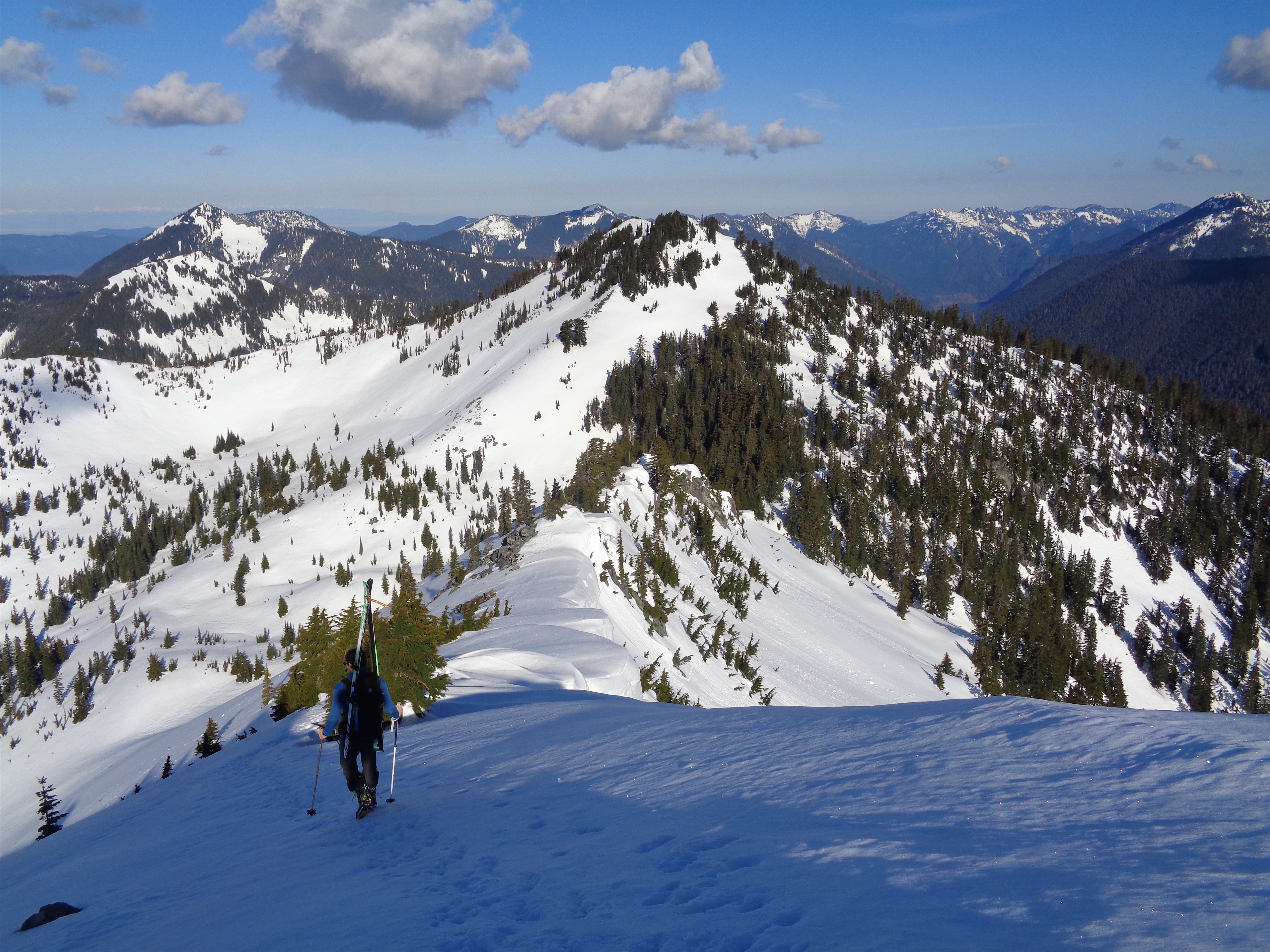
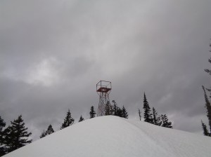
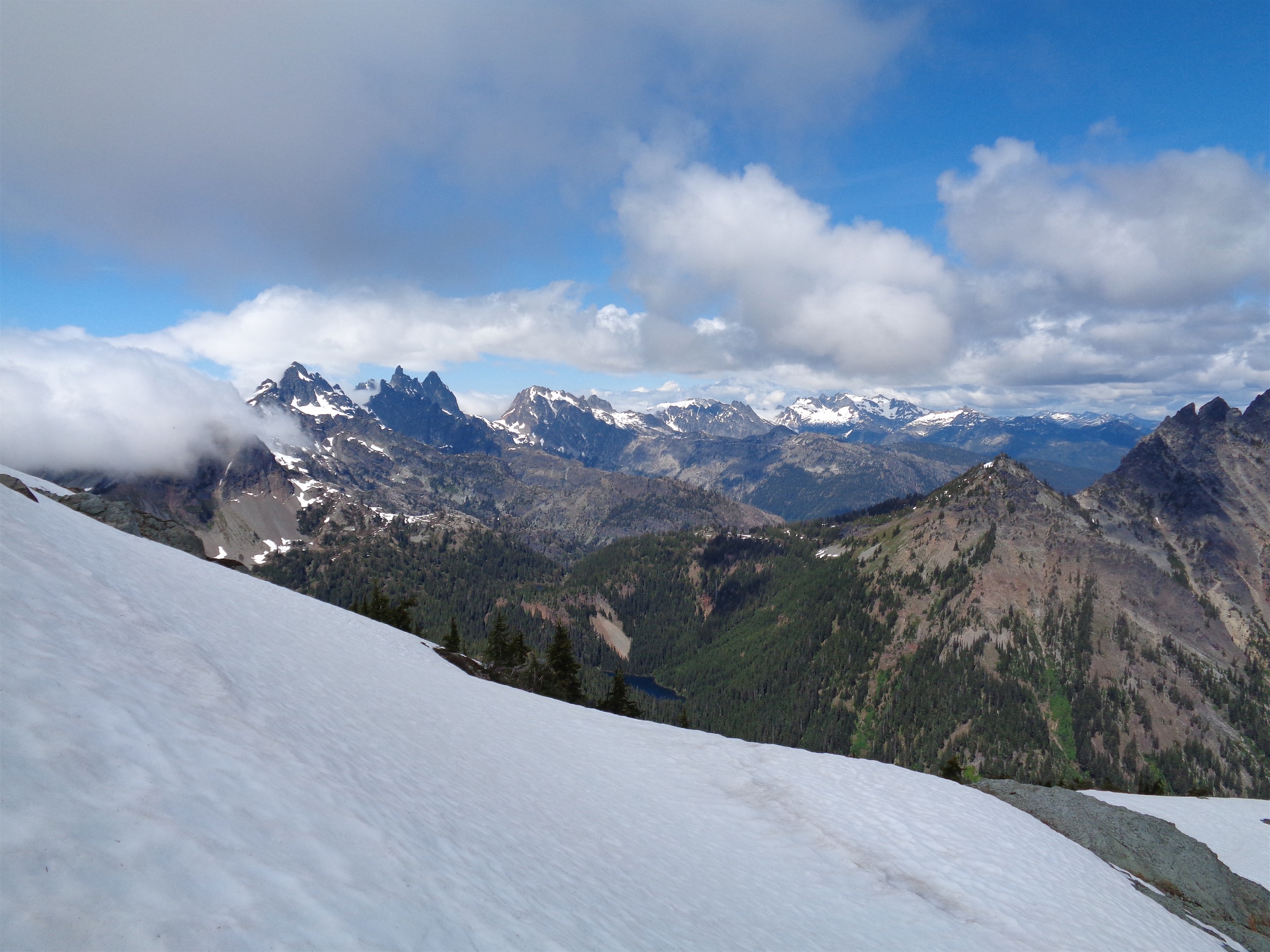
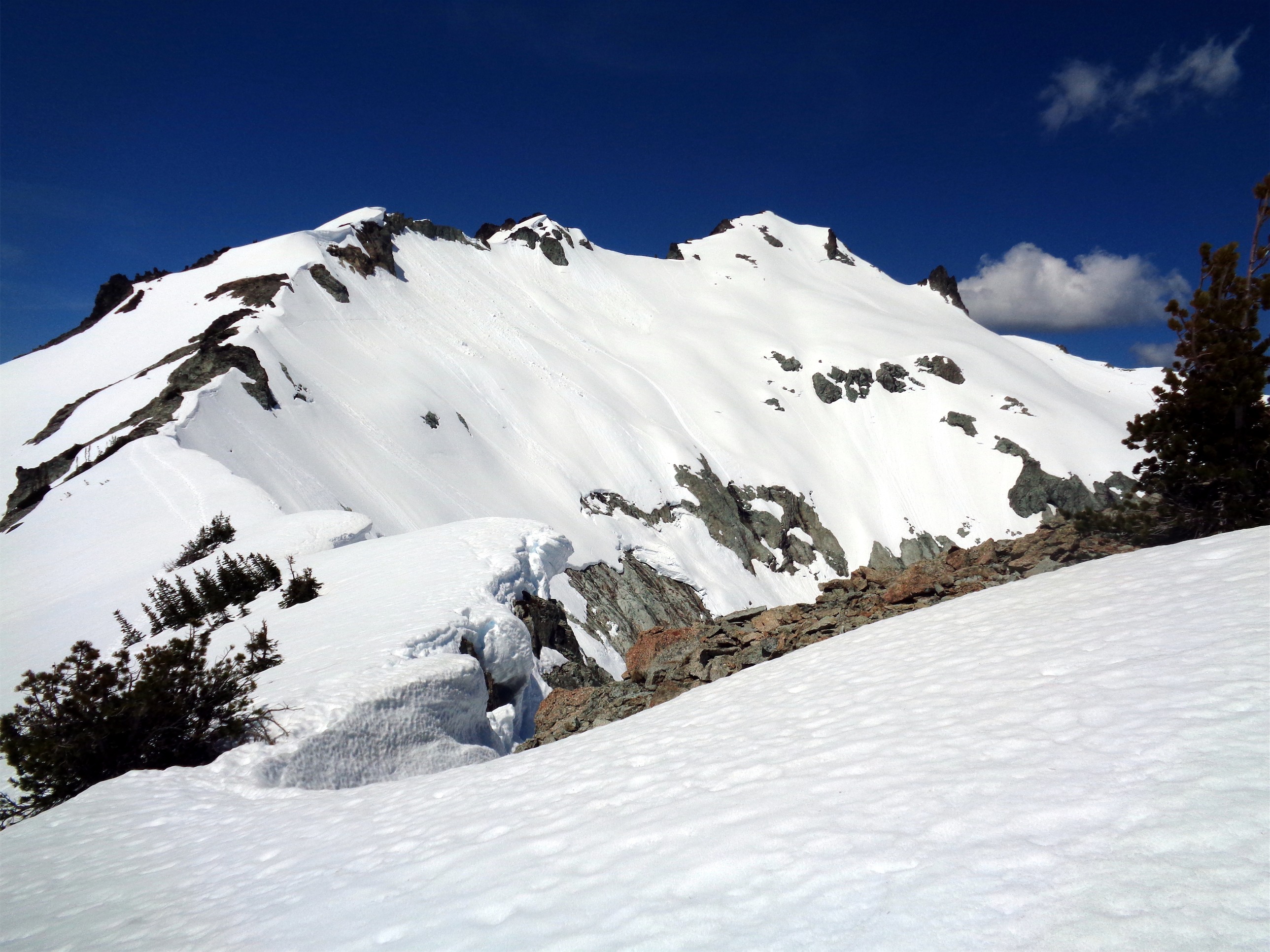
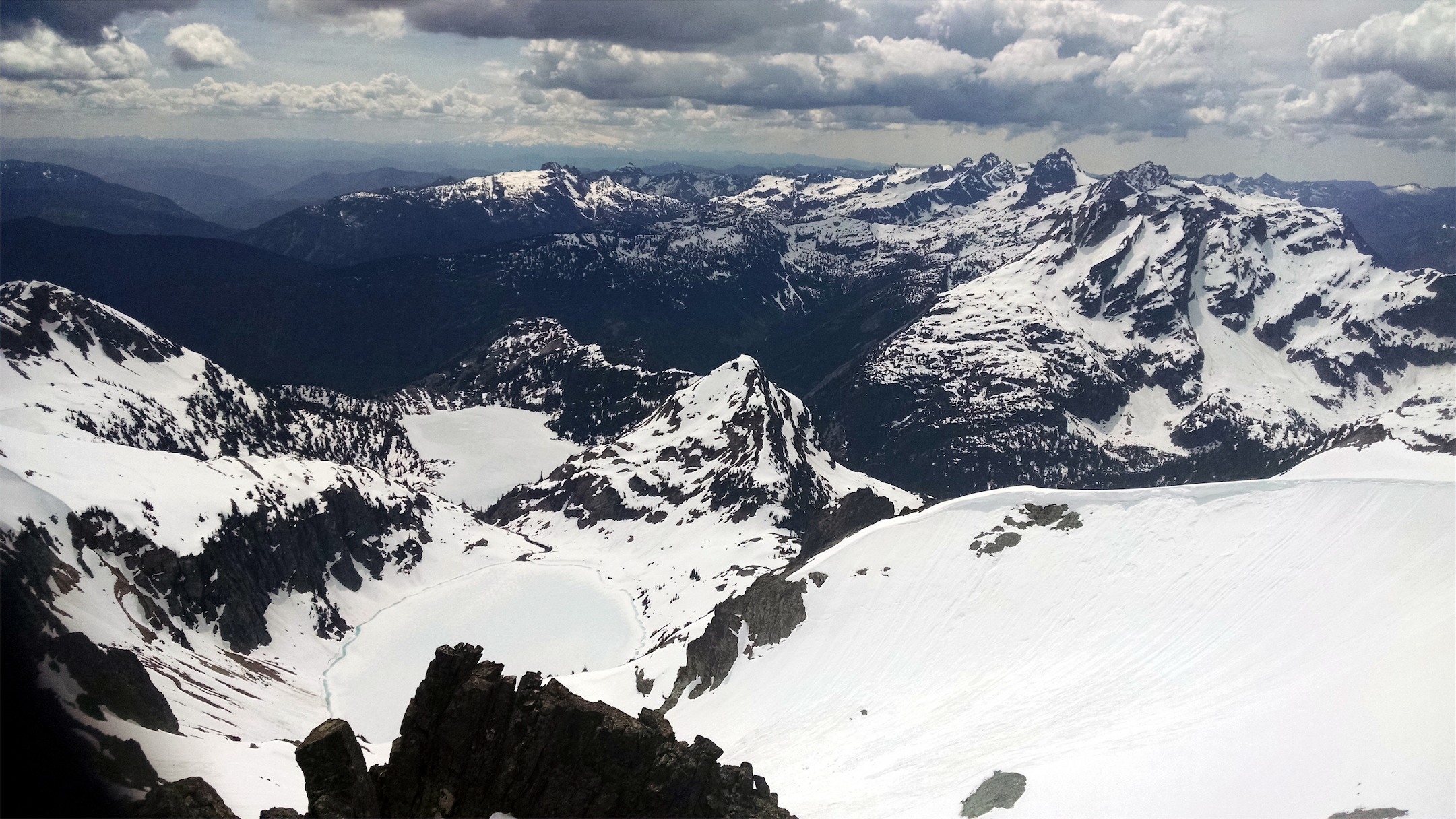
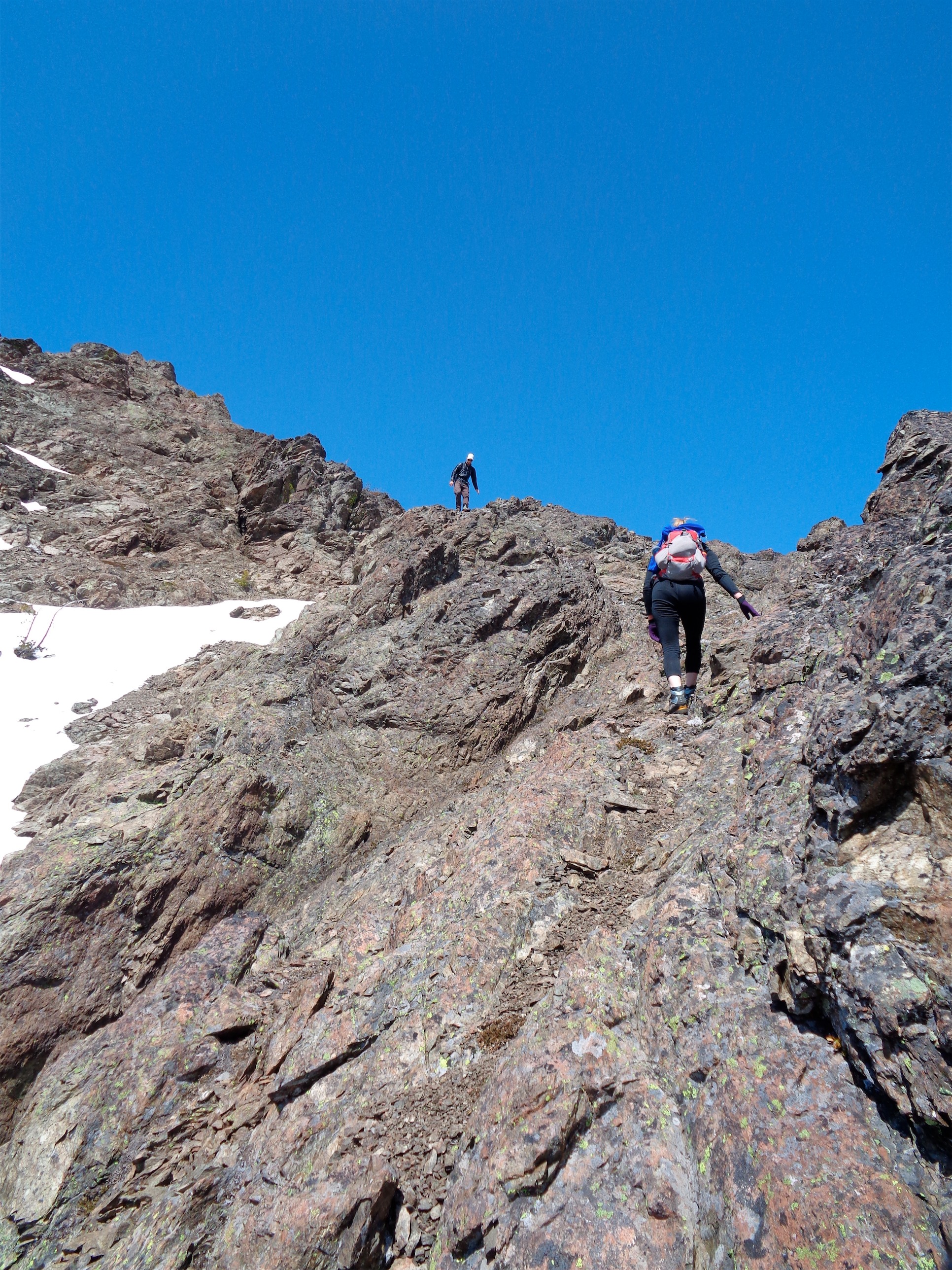
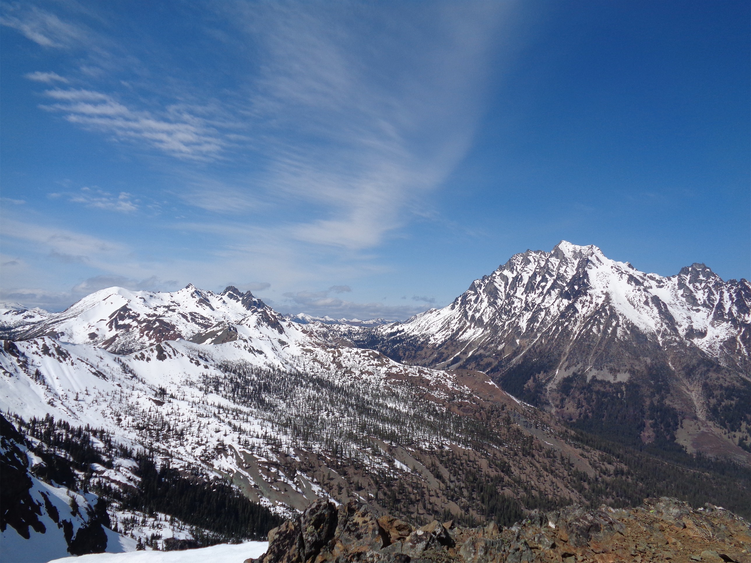
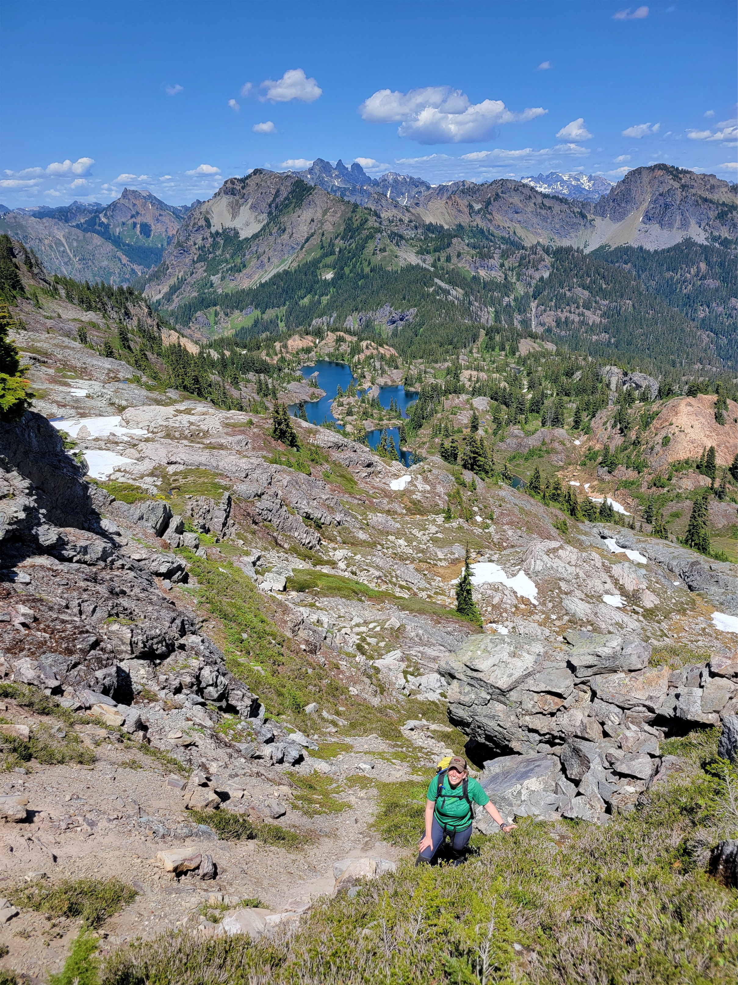
Around 1:30 we decided Brooke and Forrest needed to be back at the car at 3:30, and we needed to head down. But first we were going to head up and see if we could tag the high point on the ridge. I was willing to bypass it but now that we were up there and it was just a tiny offshoot of the normal trail it seemed so doable. Rampart Ridge looks wild in the winter from the ski resort by Snoqualmie, it’s this 2,000ft rock cliff looming over the valley and yet it’s a simple walk up from the other side (mostly).

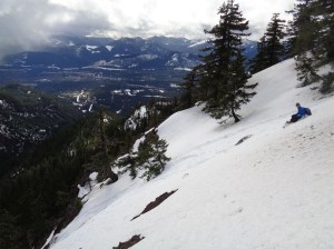
Rather than follow the trail, which would have been straightforward and efficient and logical, we chose a brush bash on the west side of the lakes to a gully of our choosing that we hoped would just go. We started out through slide alder and blueberries, getting a nice taste of the cascades. We eventually broke above the brush to talus along a waterfall where we found some bouldery scramble moves, drank straight from the stream, crawled up steep heather thanks to veggie belays, hit a headwall, traversed south, and broke out into rolling talus and grass a few hundred feet from the high point. I saw Forrest leap a small chasm between two cliffs. Brooke and I took the route that didn’t require any air time, just walking. Near the high point I dropped my pack and ran to scramble (maybe one 4th class move) to the top and back to meet Brooke and Forrest, knowing we were pushing it given they had to be at the airport at 5. Didn’t see any register of any sort but I also wasn’t looking too hard.
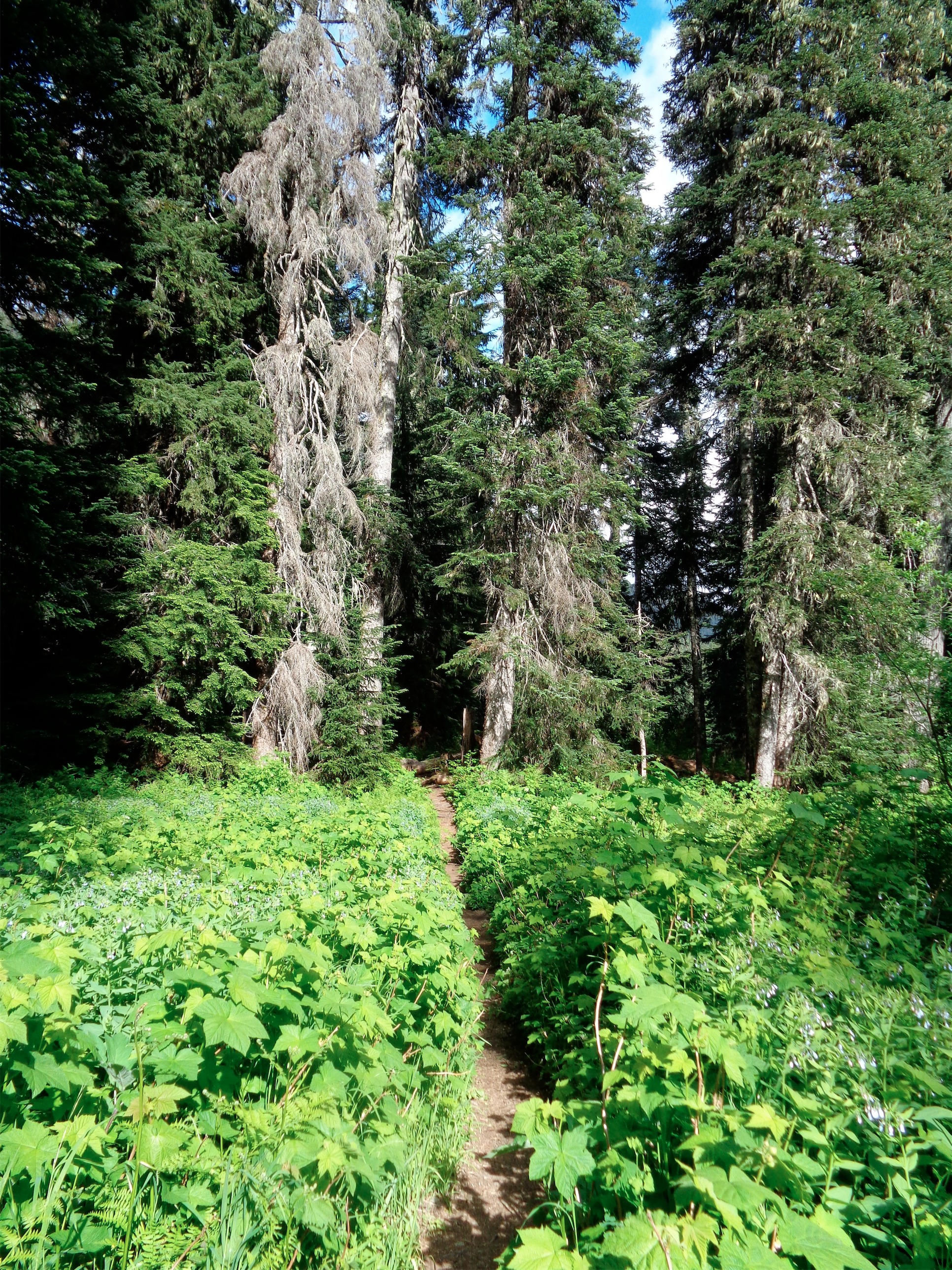
We took the west route on the way down, jogging where we could to save time and pausing only so Forrest could compliment frogs on the way. The trail again was very clear and easy to follow, though we missed a turn between Lake Lillian and the car without realizing until the trail suddenly started going up again, not down. “Do you remember it going up this way? I don’t remember this” I proclaimed. Everyone else agreed. I checked the map. We were headed towards Mt. Margaret, not the car. Reverse! Everyone backtrack!
We found our intended trail and were back at the car at 3:25, perfect timing despite our adventure route up to the high point of the ridge and our brief detour on the way down. Hiker beware: unsigned split on the trail that’ll take you to Mt. Margaret instead of Lake Lillian (or the car, if you’re coming downhill).
The drive out was tricky due to cars coming up late in the day, that is a tough road to pass other vehicles on. But friends made it to their flight successfully, didn’t get charged for the paint damage as far as we know, legs were tired and happy, and we all got a breath of the alpine for the first time ina while. And maybe worked off like 1/8th a slice of wedding cake. How lucky are we to have this as a short hike within 2hrs of Seattle?!