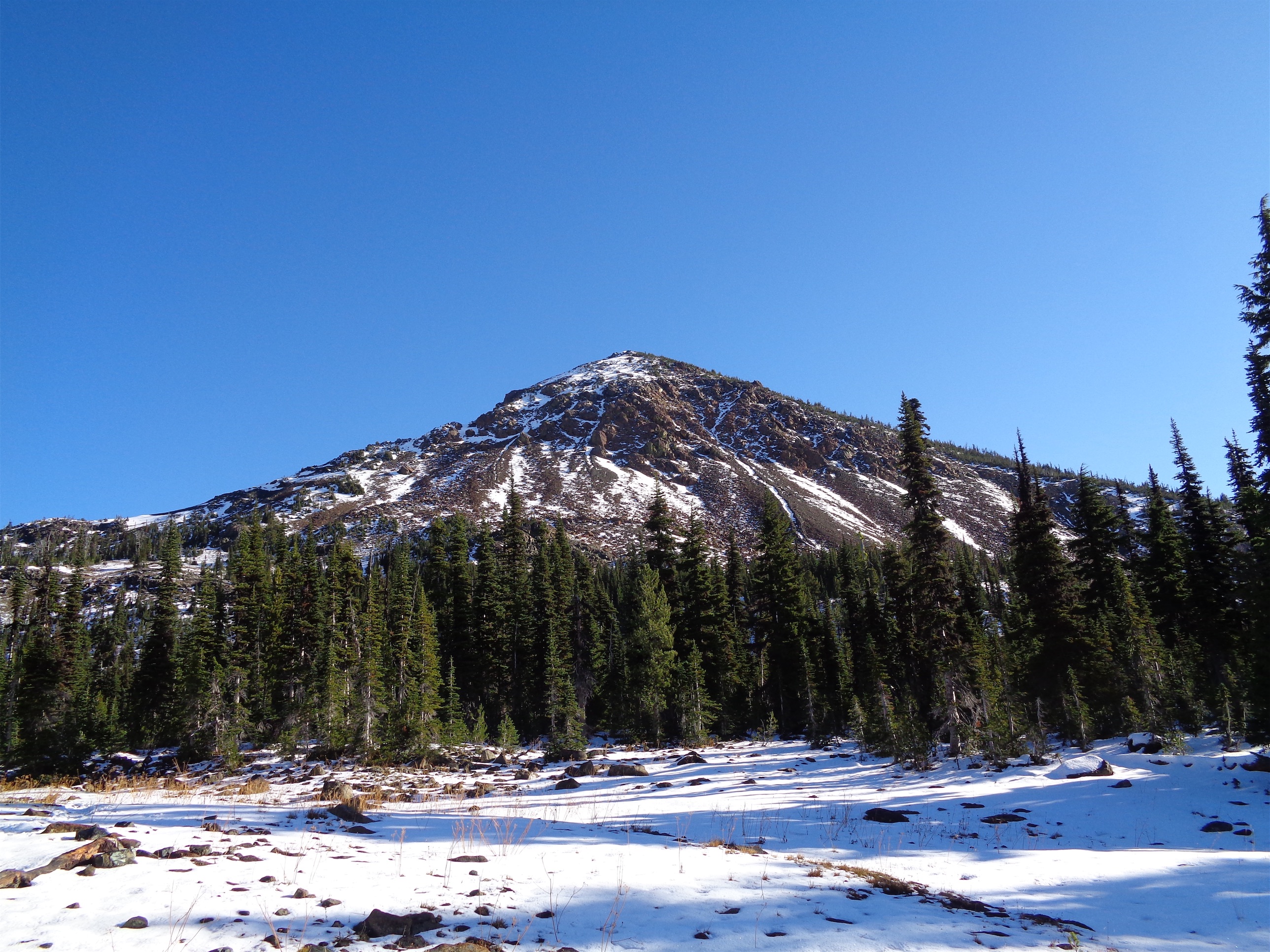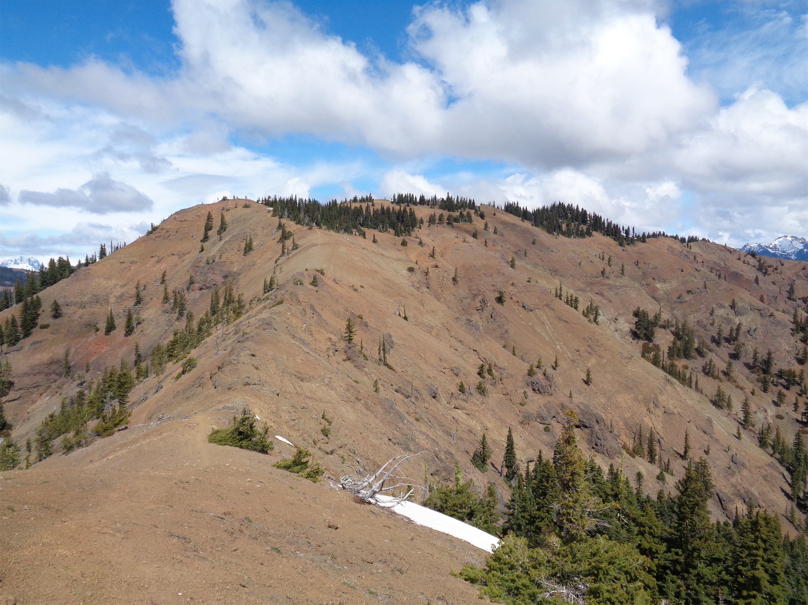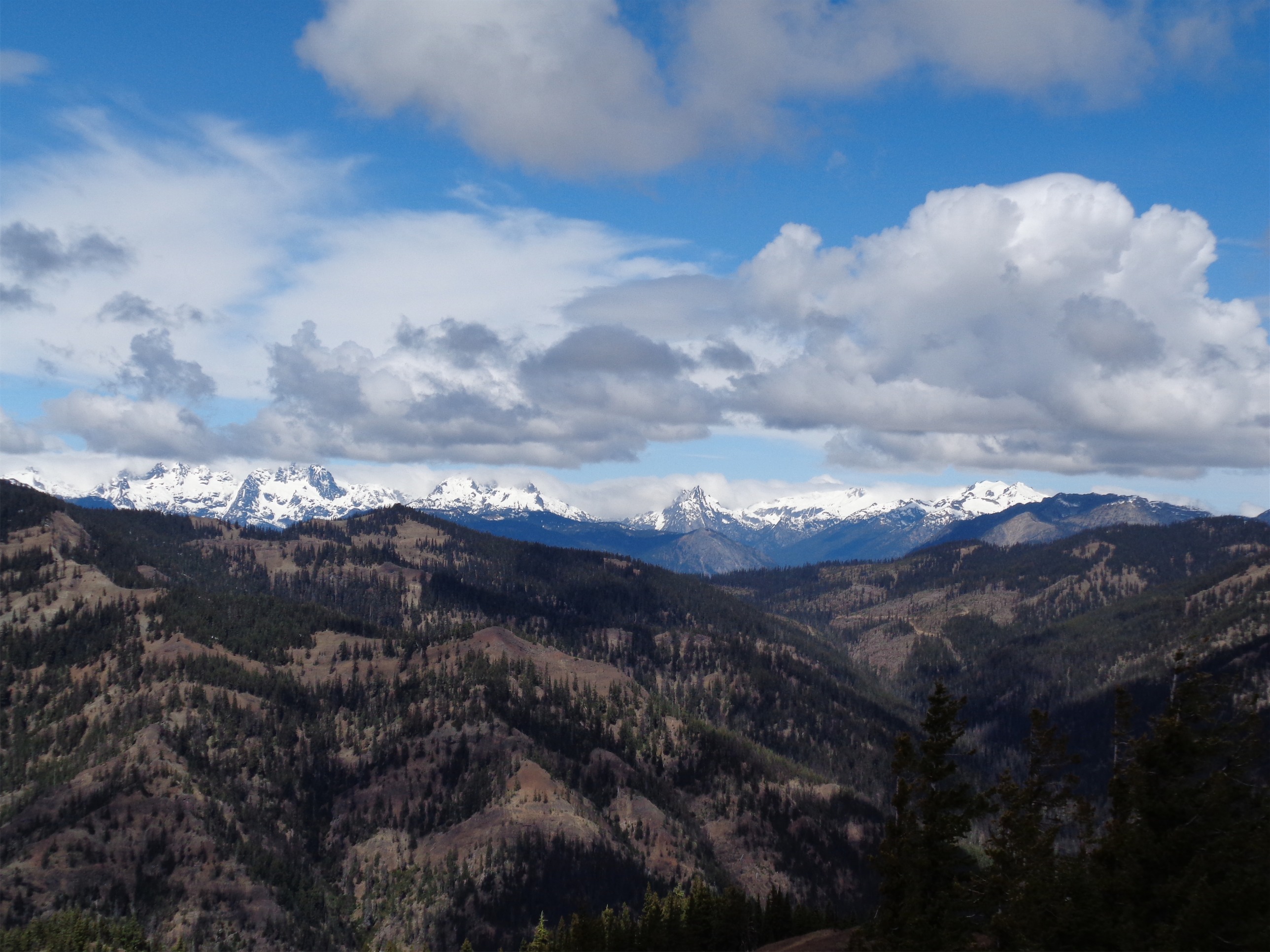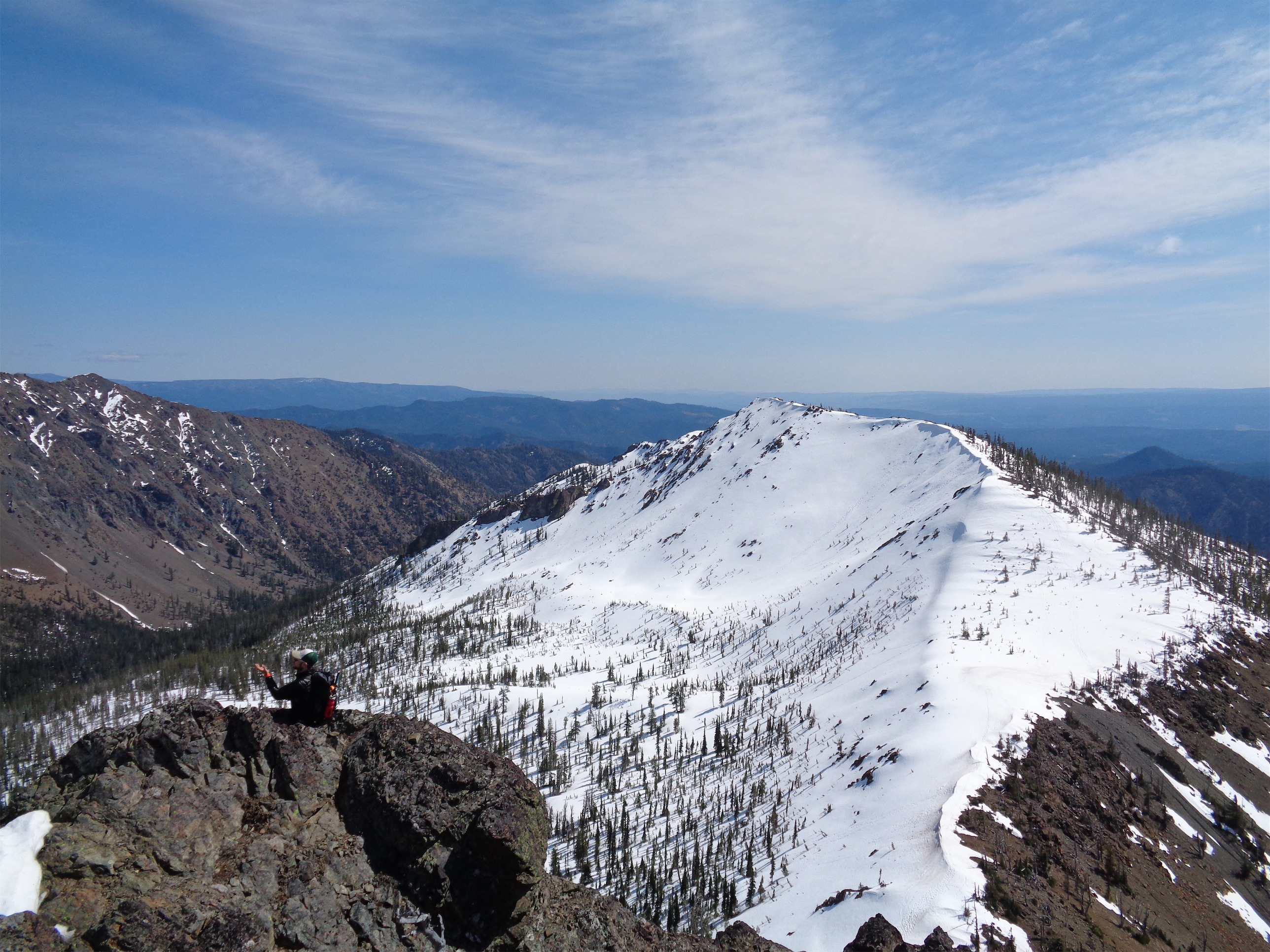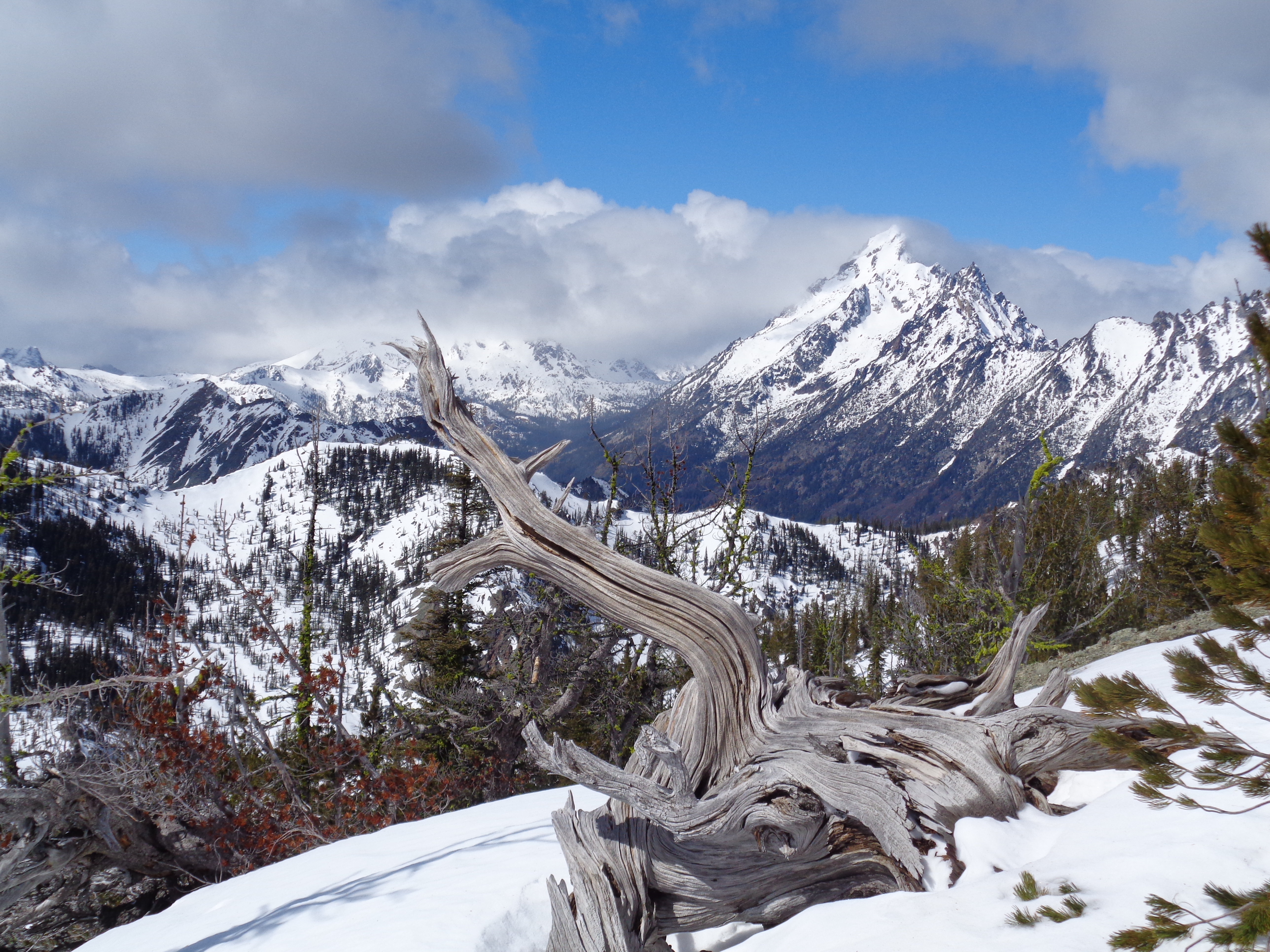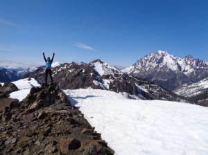
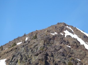
Iron peak summit
Blog post #50, baby! I should probably be figuring out how the hell I’m going to introduce Scott Jurek to a couple hundred people at REI before his presentation today, but I was too eager to get started here. 50 posts, some good, some bad, some awkward, but all worth the time and effort. And if I may say so myself, I do suck a little less at photography now compared to my first few. So here we go. I had been worried because the forecast for the Cascades was pretty crummy, but we went off to the secret land of sunshine. A great day out in the Teanaways, 4/23/2015.

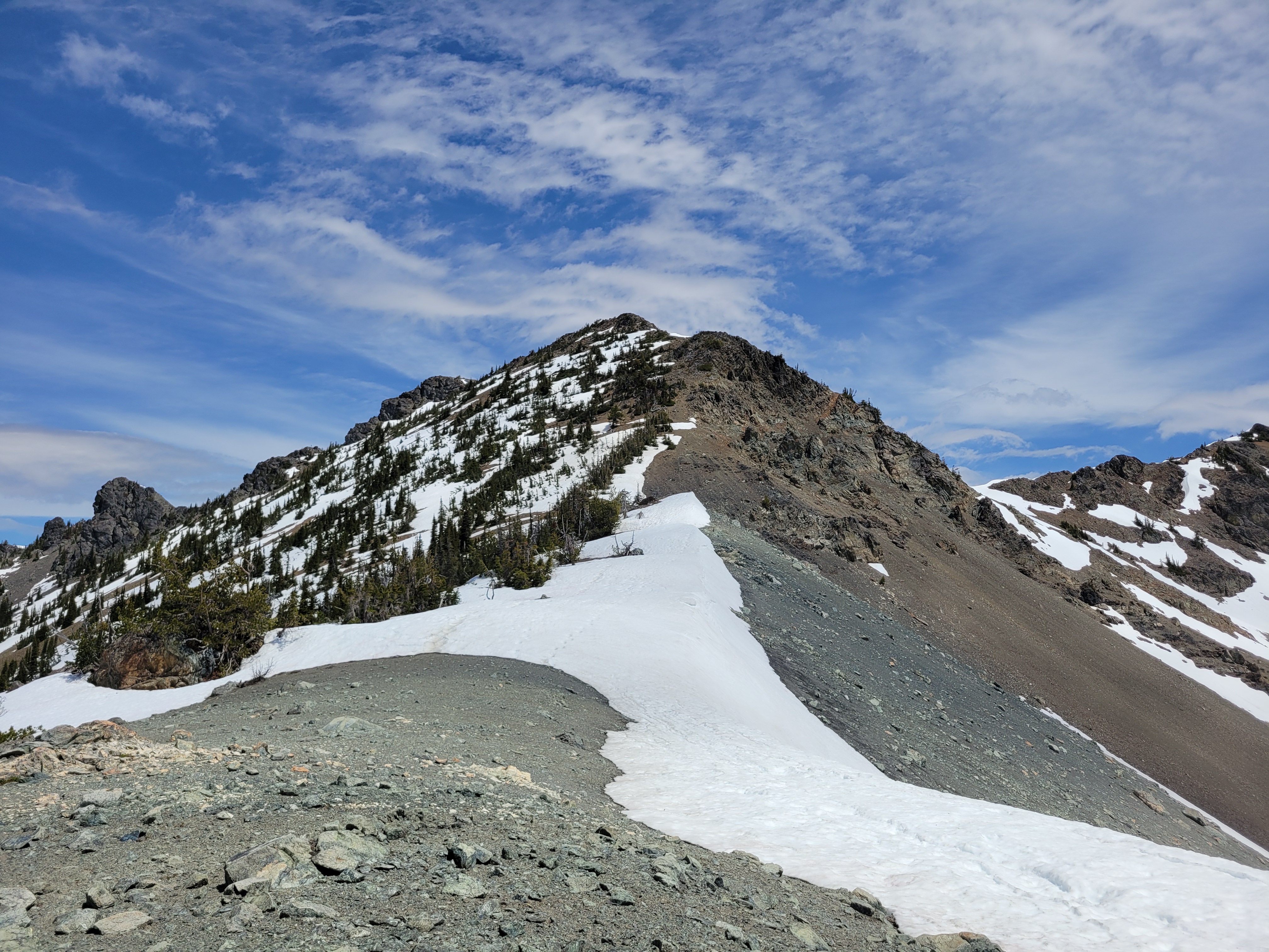
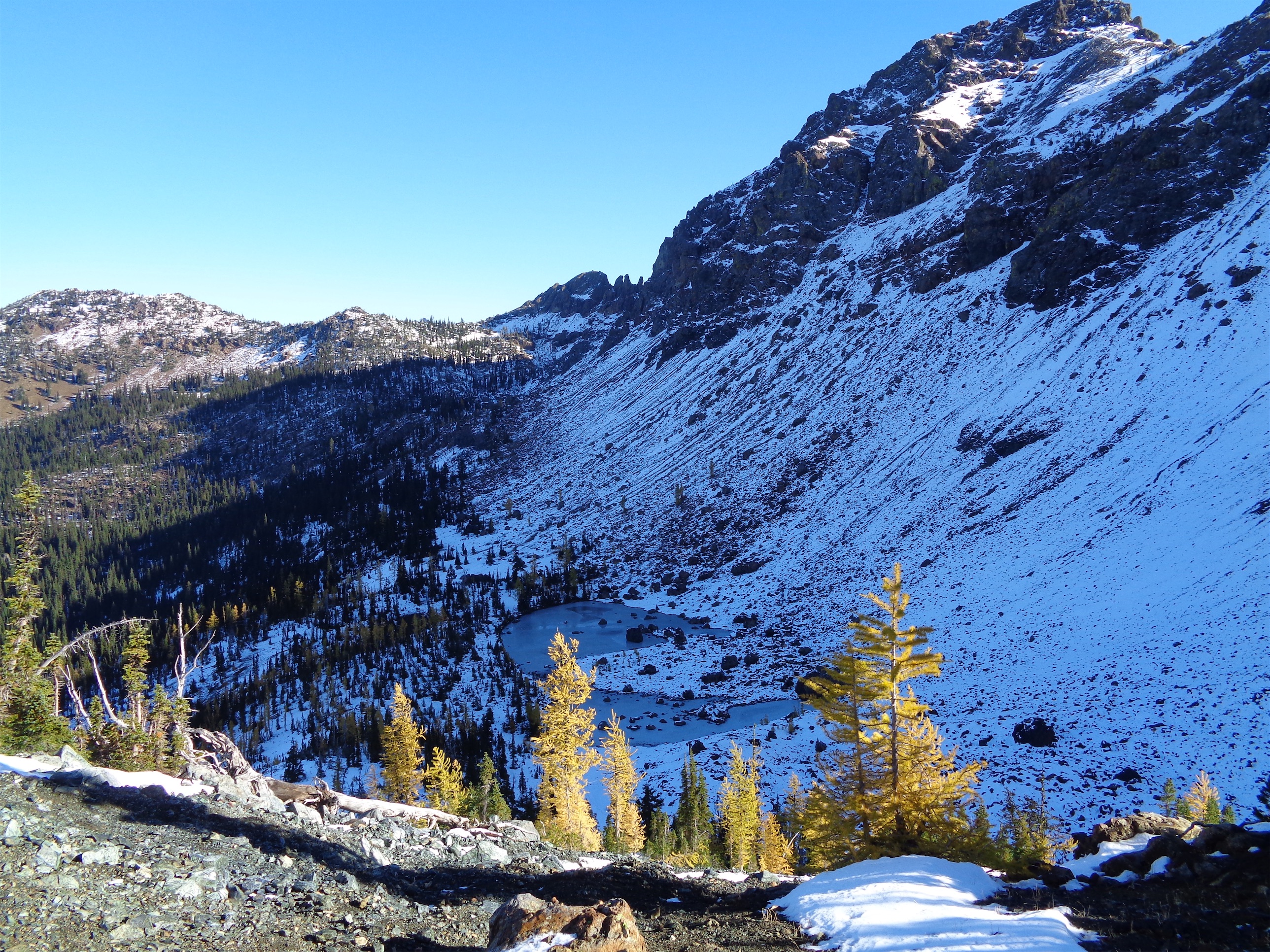
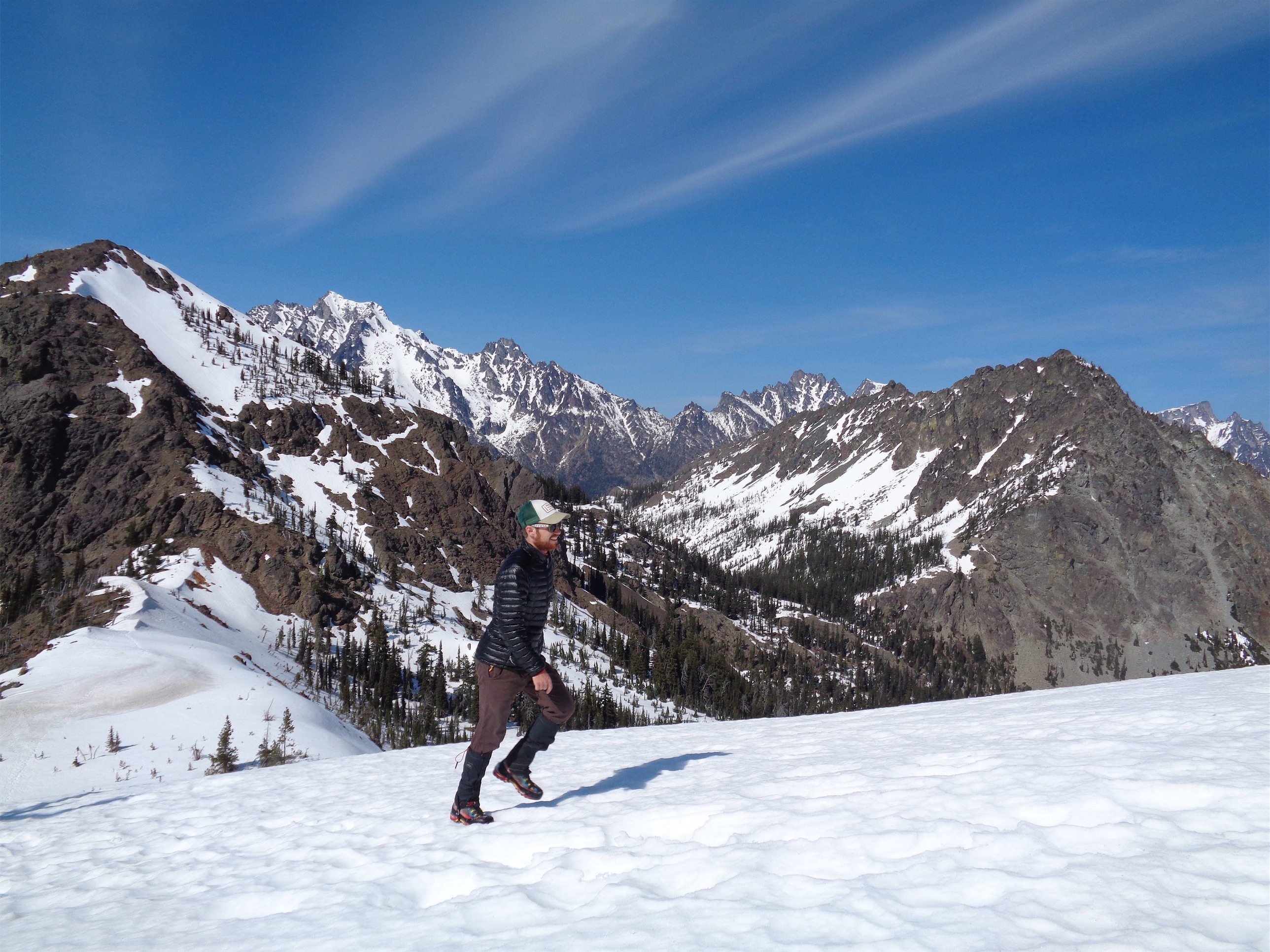
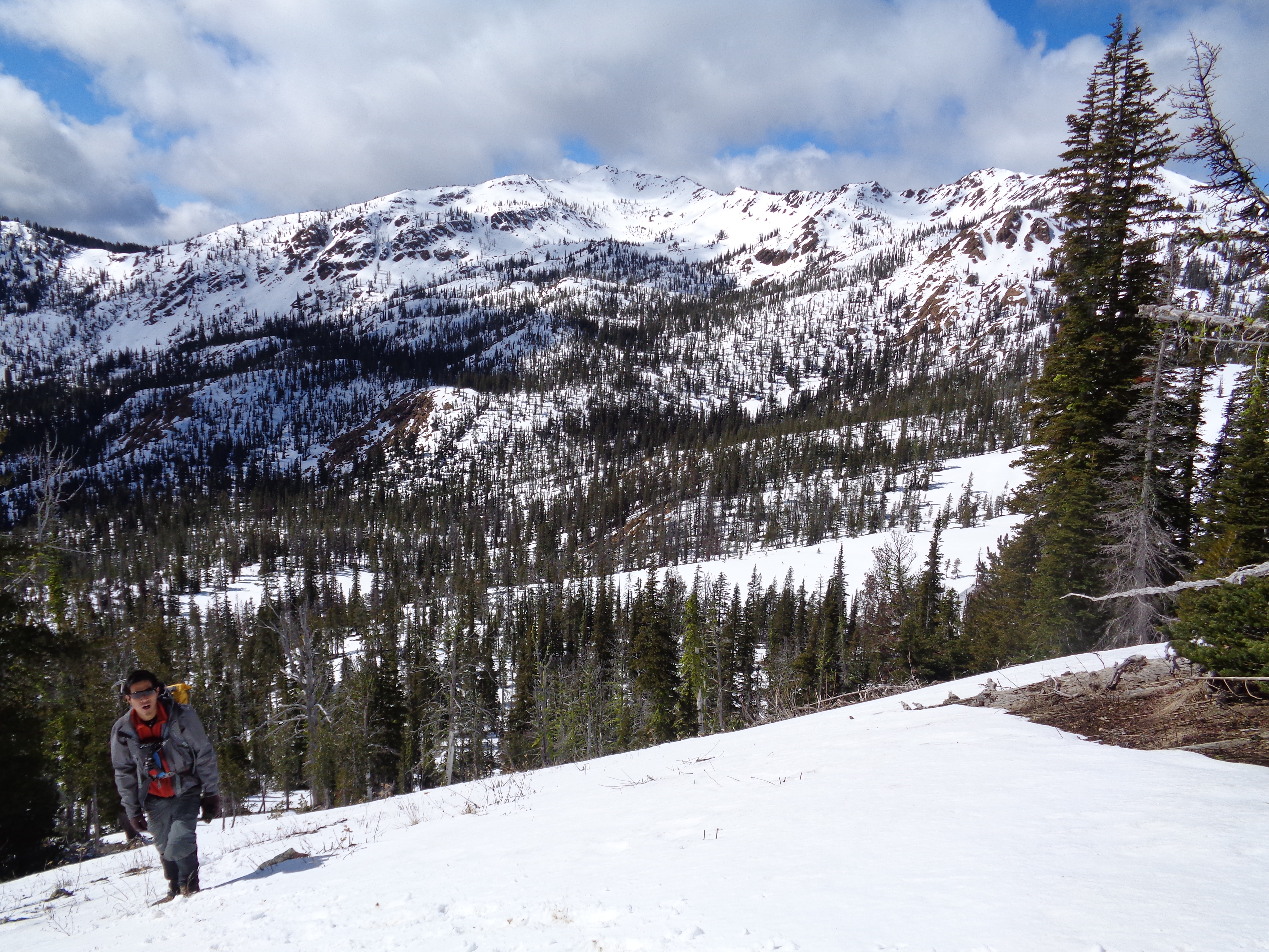
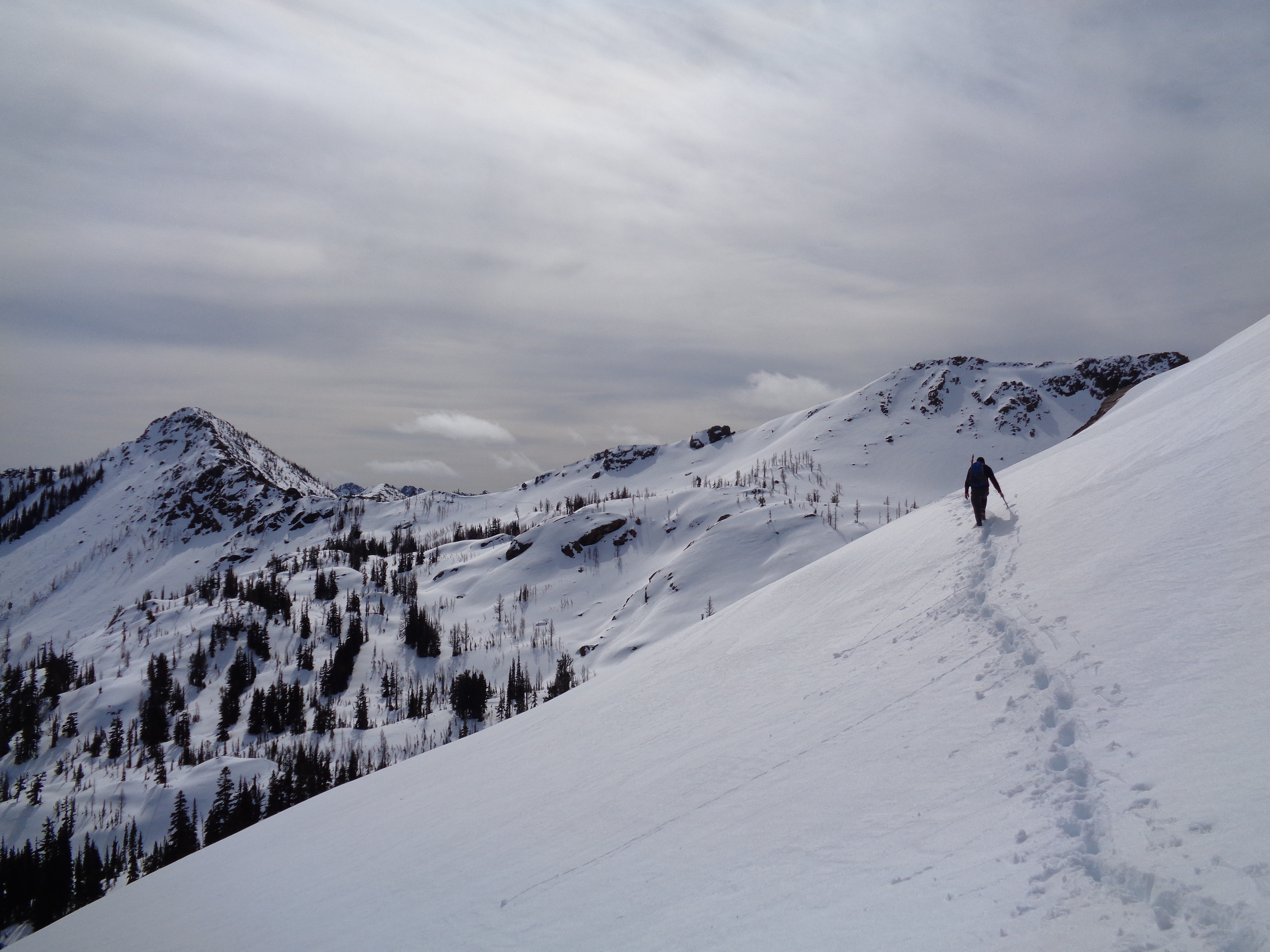
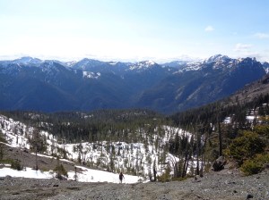
Ridge coming back from Iron
- Distance: 7.3 miles round trip (both peaks)
- Elevation: 3370ft gain,
- Weather: 30’s-50’s and sunny
- Commute from Seattle: 2:30
- Did I Trip: I don’t think so?
Getting out of Seattle was a mess. Seattle traffic, an exploded pipe in Kayla’s bathroom, a park n’ ride with no parking spaces left, picking up water at a gas station, missing the exit off i90, I could go on. But we made it to the trailhead (De Roux Campground) in one piece. And promptly spent another 15 minutes trying to find where the hell the trail started. Long story short, there’s a small lightly traveled trail that brings you from the campground back to the road, and the real trail starts on the other side of the road. Finally, we were off.

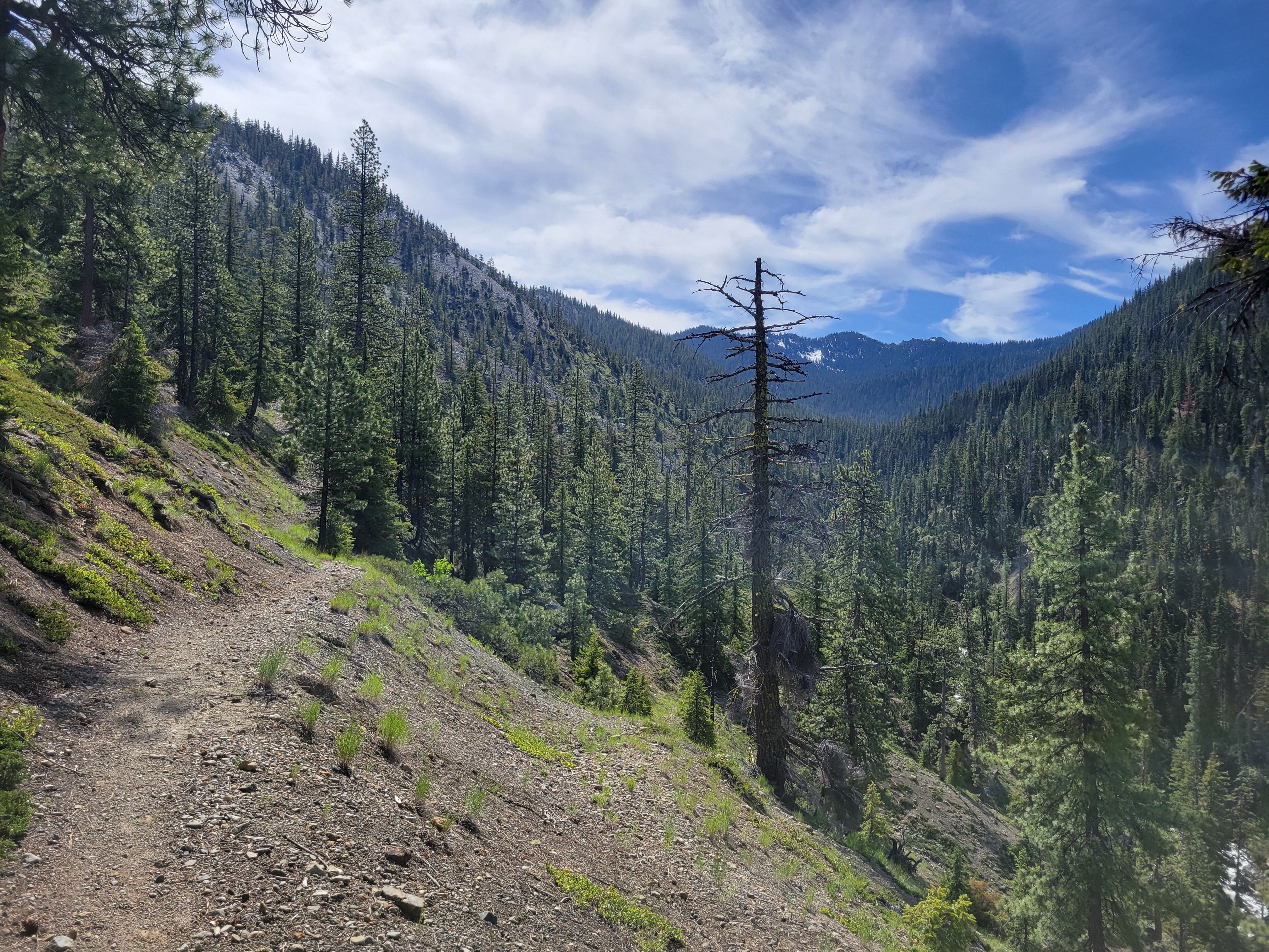
Starting off along the trail
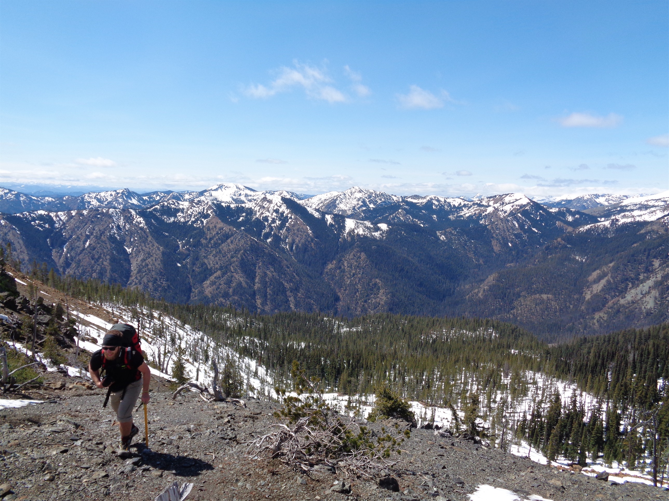
Everyone wore light mountaineering boots, and I tagged along in my barely-even-qualify-as-trekking-boots. They had never failed me before, and I hoped if it actually got tricky, I’d just go last and by the time I got there, they’d all have kicked nice solid steps for me. The trail switchbacks up along the side of the valley above Eldorado Creek, and was snow-free for the first mile or so.

Flowers starting to bloom
There were a few flowers starting to bloom, and everything is looking a bit greener than a month ago when I was along the same road hiking to Ingalls Lake. There was a light bootpath to follow as we started to hit patchy snow, and finally we were off the trail altogether.

Switching to loose dirt from snow
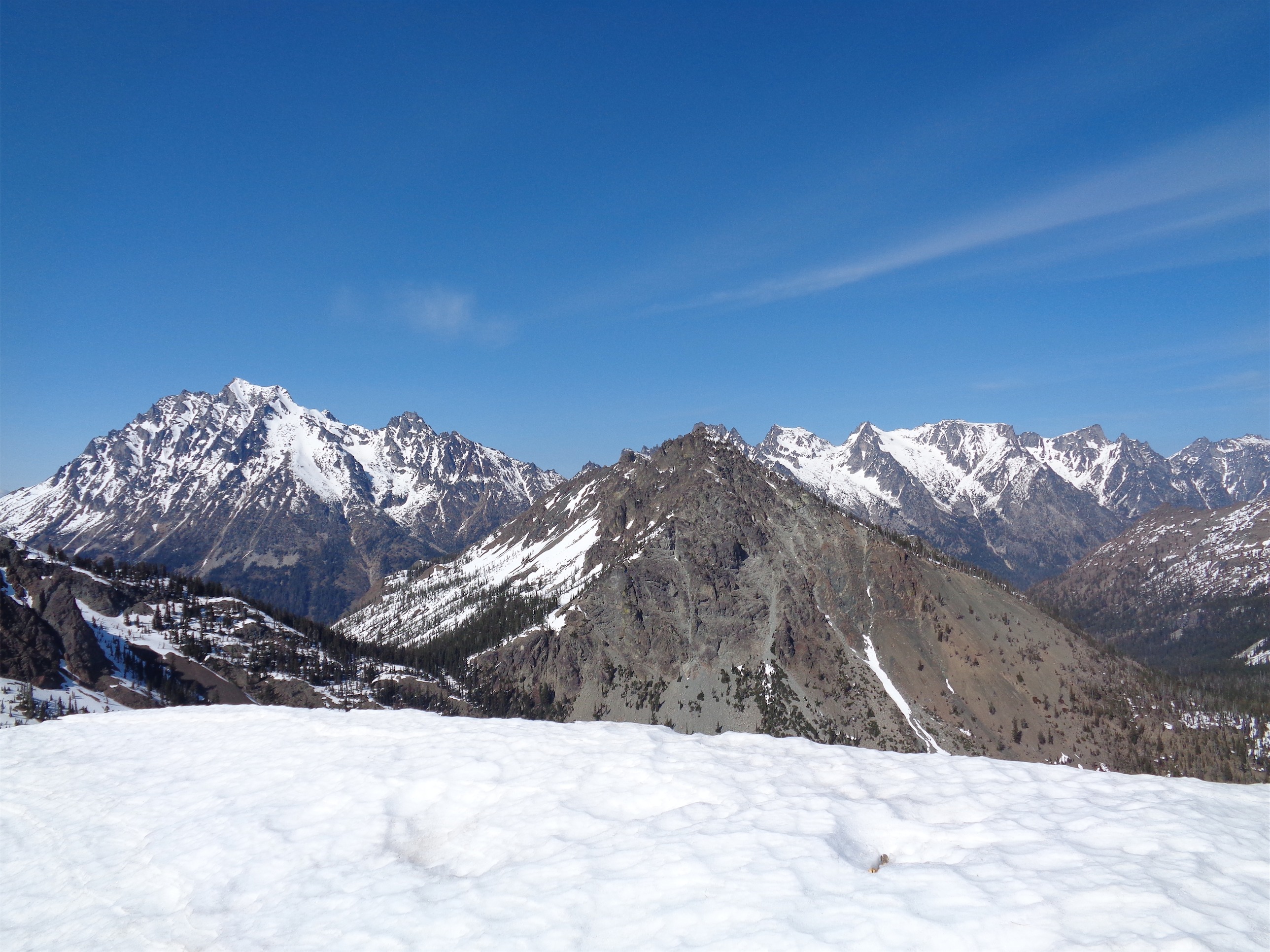
When we broke out above the trees, we swapped trekking poles for ice axes and aimed directly for the saddle. The snow wasn’t too deep, and it was compact enough that we didn’t have many postholing issues (a relief compared to what I slogged through back at Squire Creek Pass). We followed snow halfway up the slope, and switched over to some loose dirt for the rest of the way. Gaining the ridge, you have Gene’s Peak just a scramble away to your left, Iron Peak a ridge-walk to the right, and Bill’s Peak smack in front of you with the Stuart range behind it.
A quick bit of history: Gene’s Peak has been renamed Teanaway Peak for some reason, which is too bad because Gene’s and Bill’s Peaks were named after the two Prater brothers, who allegedly developed the first lightweight metal snowshoes. Bill’s Peak retained its name, but poor Gene got demoted. We’ll try to keep it alive for a while longer.

Starting down the ridge to Gene’s Peak
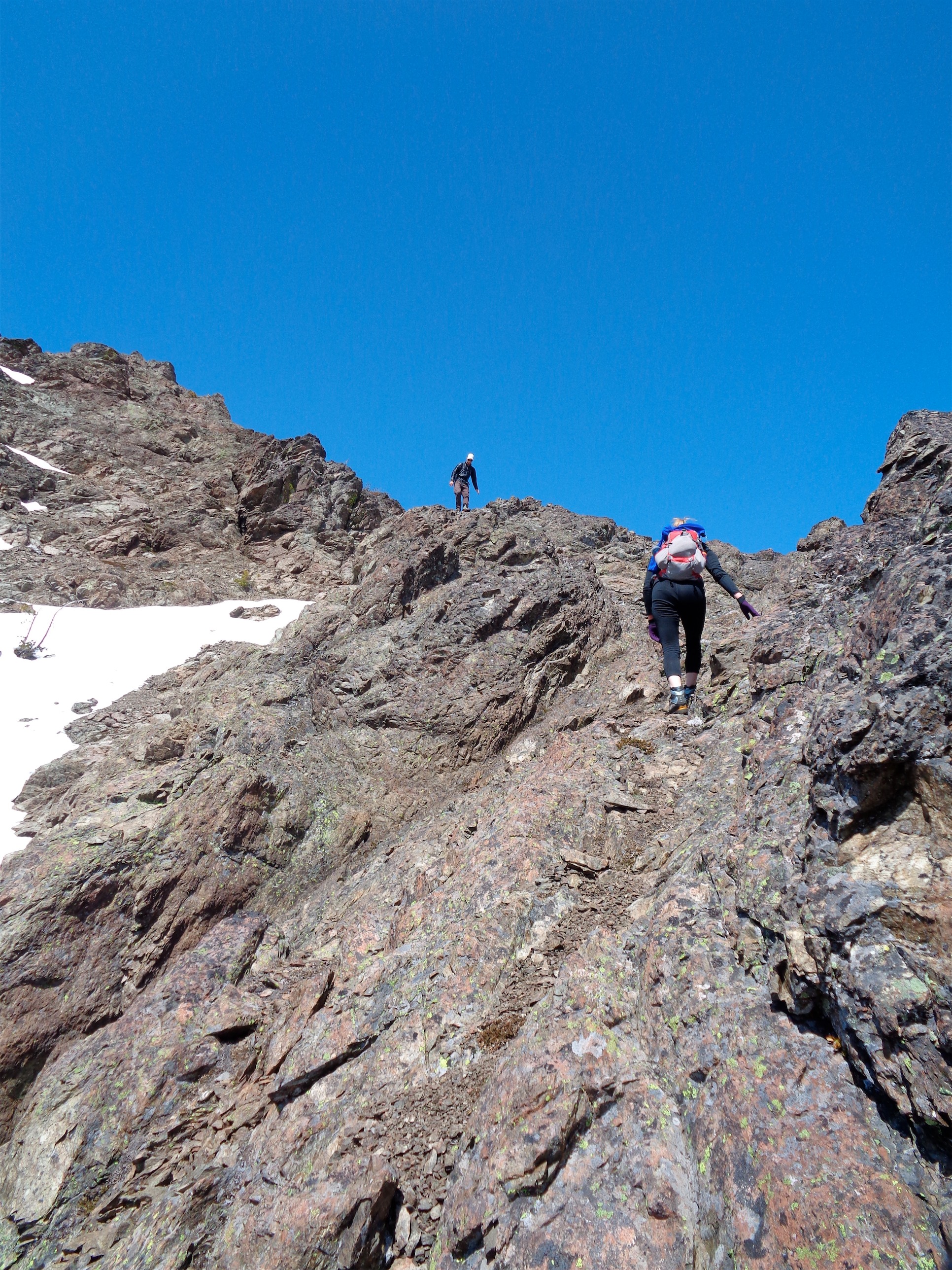
Kyle had been to Iron peak just two days earlier, so we went for Gene’s first. We had a choice: follow a bootpath up a steep section of snow, or scramble along the ridgeline. We decided that the runout on the snow didn’t look too good – short, steep, and rocky – so we decided to scramble. Fine by me, I actually love scrambles. I mean I’d be thrilled to do either, but something about scrambling just gets me excited. We walked along the ridge to the base, stashed the ice axes, and started up.

Brian and Kayla up above
Brian, resident trail runner, basically ran the scramble. He was mostly out of sight ahead of us, so I followed Kayla’s route as we tried to trail where Brian had gone. It was mostly a class 2 scramble, with a few class 3 sections. Lots of chossy rock (guys look I’m using my new vocab word) and plenty of rubble to try to avoid kicking down on those below me. At one point, Kayla’s gatorade fell out of her pack and ended up a few dozen feet below us in a steep, rocky gully. Man down. We weren’t sure we could get it, so we continued on.

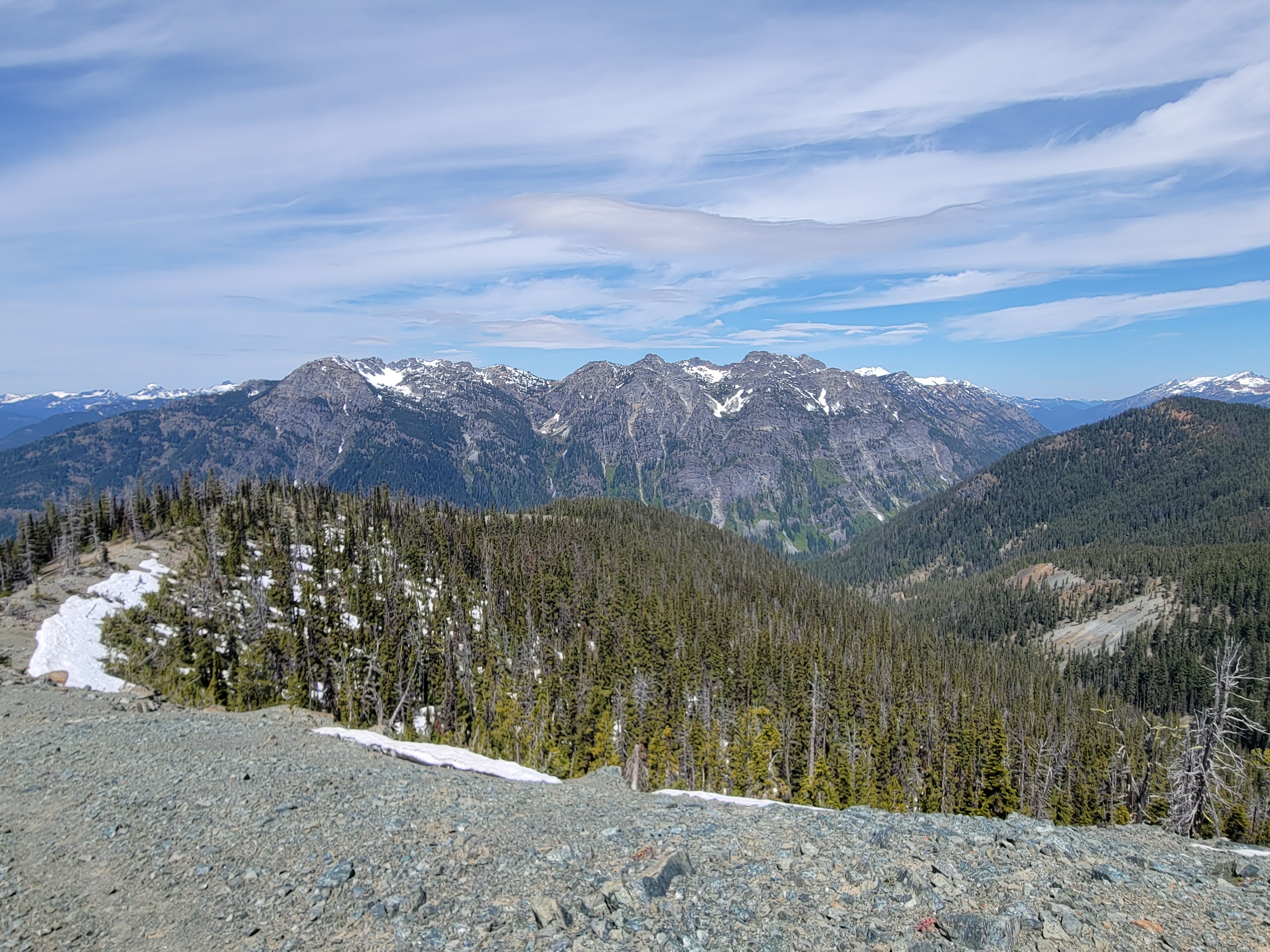
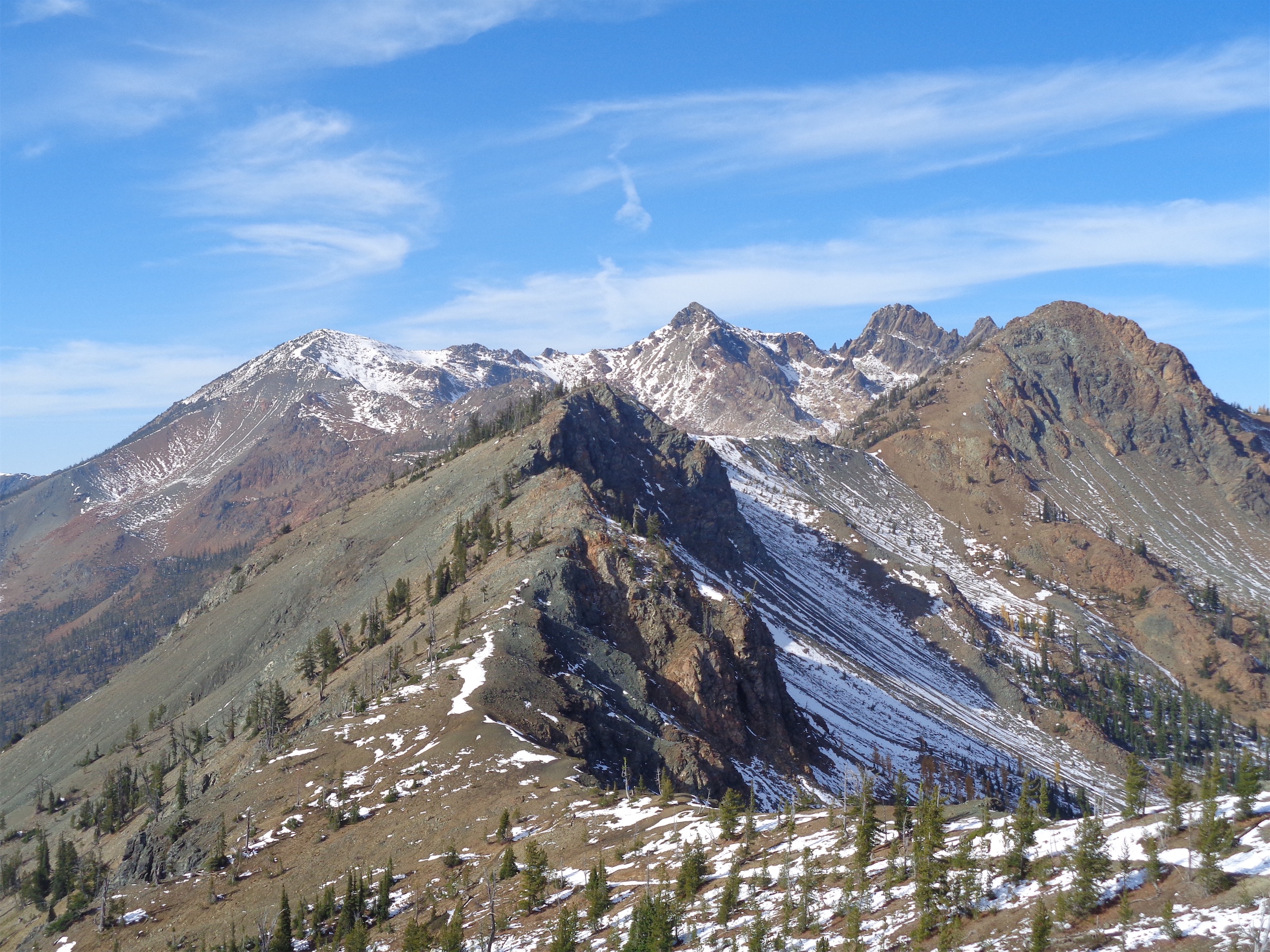
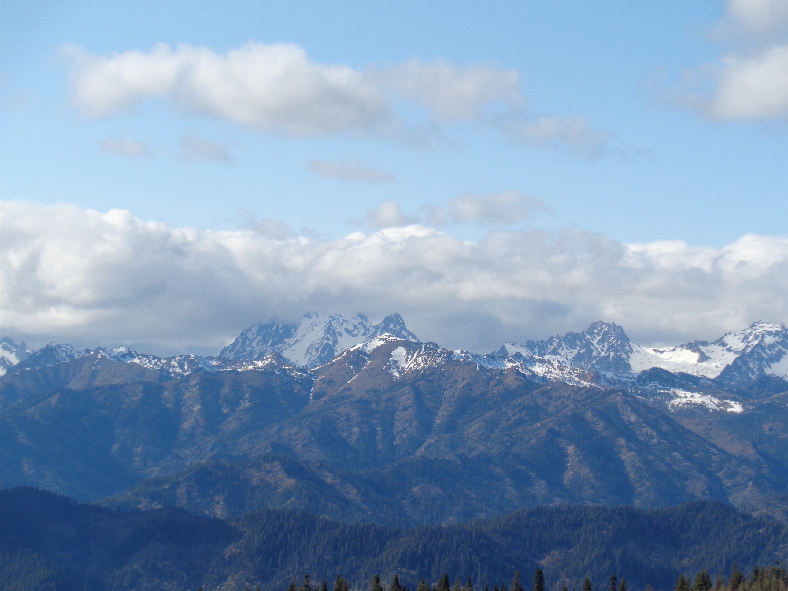
Ingalls (left) and Stuart (right) from Gene’s Peak
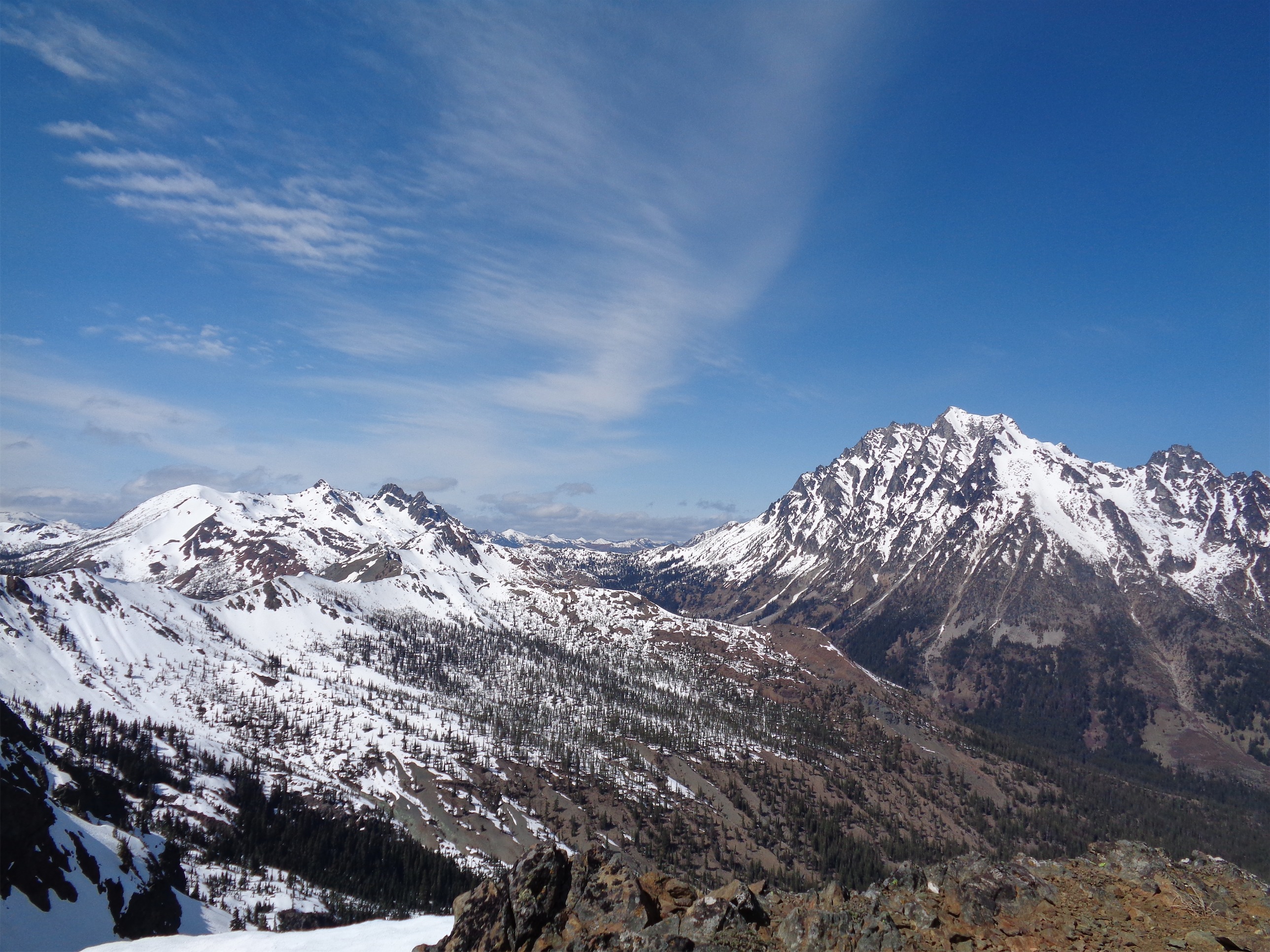
The last stretch to the top was a walk. Brian beat us there by a solid 15 or 20 minutes. The top was pretty windy, so we snapped pics and set up just beneath the summit for snacks. Amazing views of the entire Stuart range with Ingalls and Daniel (mostly hidden by clouds) on the left.
I brought enough food for a small African village. I’m a walking grocery store. I like having enough food to share with everyone, and yes it’s heavy, but that means I’ll get more in shape, right? So I had a half pound of cheese, half a pound of salami, two huge avocados, an entire box of wheat thins, two unopened bags of chocolate covered blueberries and pomegranate seeds, a bag of parmesan crackers, what am I forgetting. Maybe the 3 liters of water. If we ever get stranded and I only donate one bag of snacks when we pool our survival stuff, you know I’m hoarding food. So I ate like a king. And the more I eat, the less I have to carry down, so no one has to feel guilty about sharing my snacks.
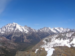
Stuart range from Gene’s Peak
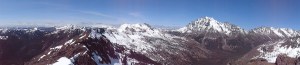
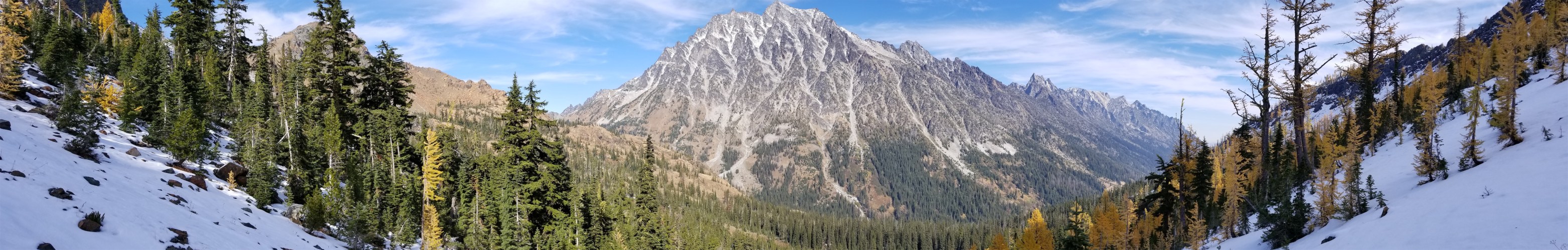
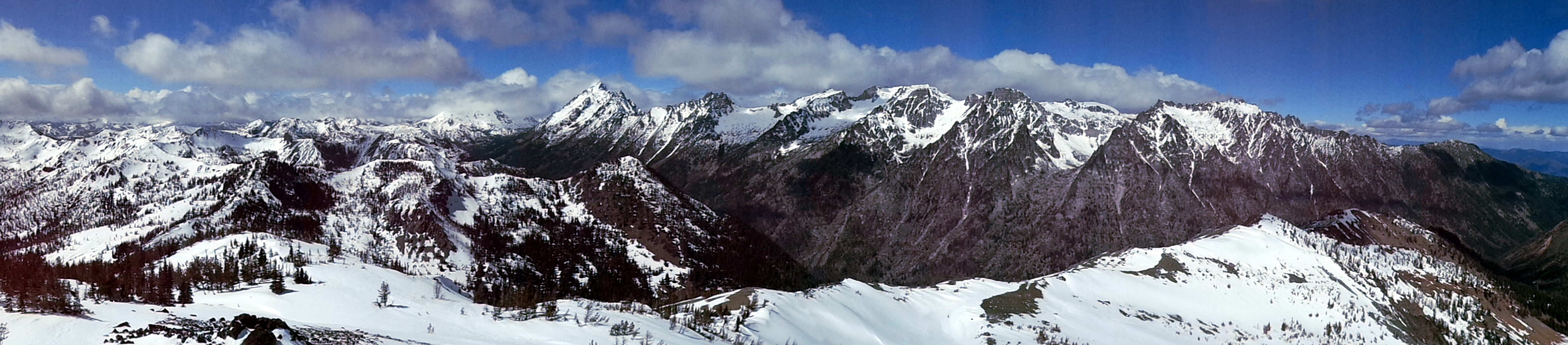
Panorama from Gene’s Peak

Brian juggles while waiting for us, Iron Peak along the ridge in the backdrop
We headed back down to the saddle after maybe 20 minutes. Downclimbing wasn’t that bad. I’m flawed. I don’t have that inherent fear of heights that I imagine was advantageous from an evolutionary perspective. It never occurs to me “oh, I could die or seriously get injured if I fall here.” And when I do, it’s with a shrug of my shoulders, not a shot of adrenaline. I think I’m just too focused on footing to worry about it. At one point, I was standing near Kayla and we hear “ROCKS!!” and I look up (mistake) to see Kyle sheepishly standing above us with a bunch of small rocks spilling down the gully towards us. Kayla hit the ground and covered her head (she was pretty directly beneath the rocks) and I jumped out of the way, but let me just say looking up is NOT what you want to do. Waste of time. Just get down and cover your head as fast as possible. Whoops. But that was the closest thing we had to an issue, besides the rogue gatorade. Which Brian somehow retrieved before high-tailing it down the rest of the scramble and beating us to the bottom, despite his detour. I can barely run trails across talus slopes, nevermind a scramble. Time to work on my footwork.
Goats!
At some point, someone turned around and realized that goats had taken over our snack area at the summit. They came out of nowhere! I couldn’t get a great pic, but I swear the white lumps in this one are two goats. I’m sure our salty crumbs tasted delicious. I’ve actually only seen mountain goats out here twice now. The first time was at Lake Ingalls back in October, when the goats were just casually strolling around the trail with clearly no concerns about humans. Which freaked me out, so I skirted around them instead of taking 100 pictures like all of the people around me. These guys preferred to give us space.

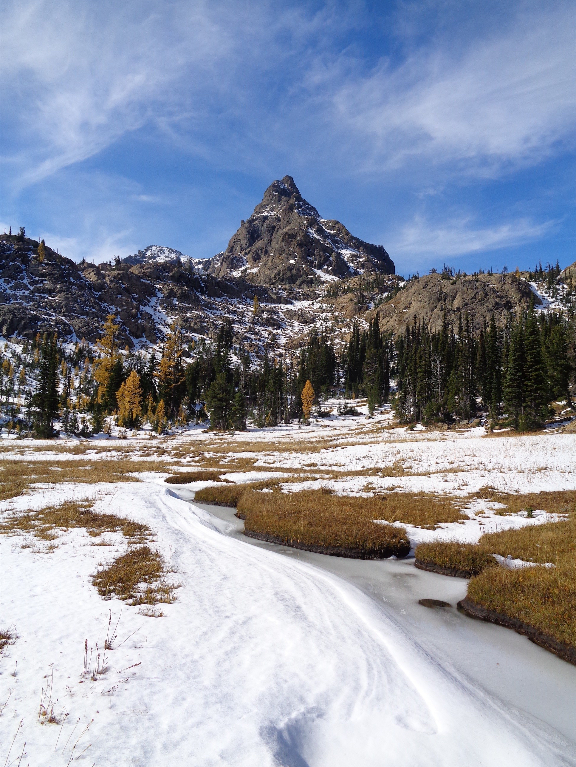
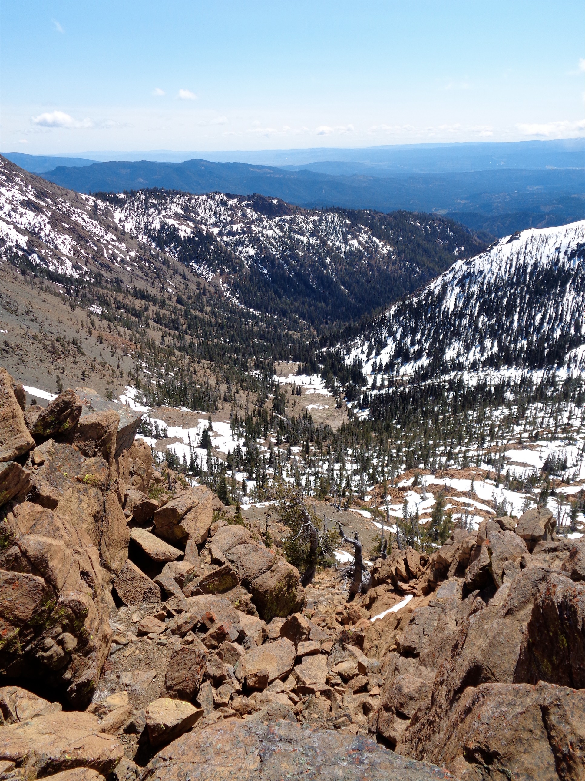
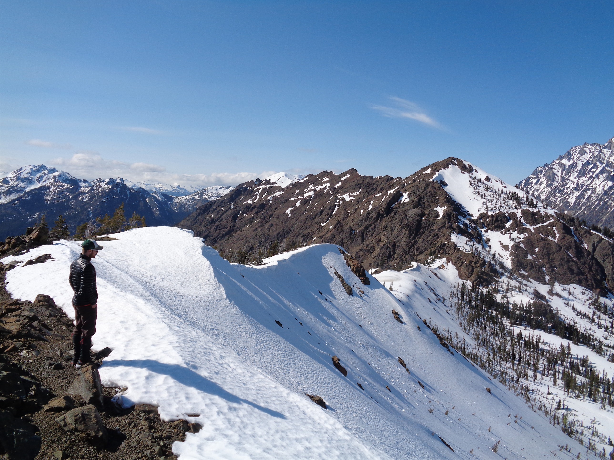
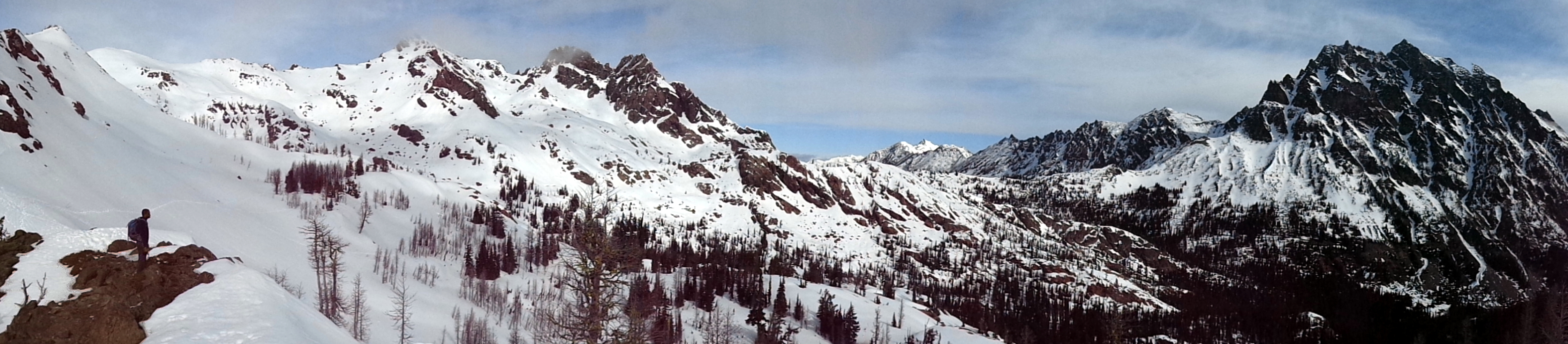
Views along the ridge
At the saddle, Kyle and Kayla took a break while Brian and I decided to walk over to Iron Peak. Yeah, you know it, I’m becoming a peakbagger. It looked close and easy, and I couldn’t pass it up. We were right. It took us about 15 minutes to walk to the true summit, alone a ridge with small cornices hanging over one side and melted-out rock on the other. The summit had a register! Woo! We signed it, and noticed that most of the signatures from April and May of 2014 had notes about ski touring and snowshoeing in them. There probably wasn’t even enough snow to skin up the peak this time around.

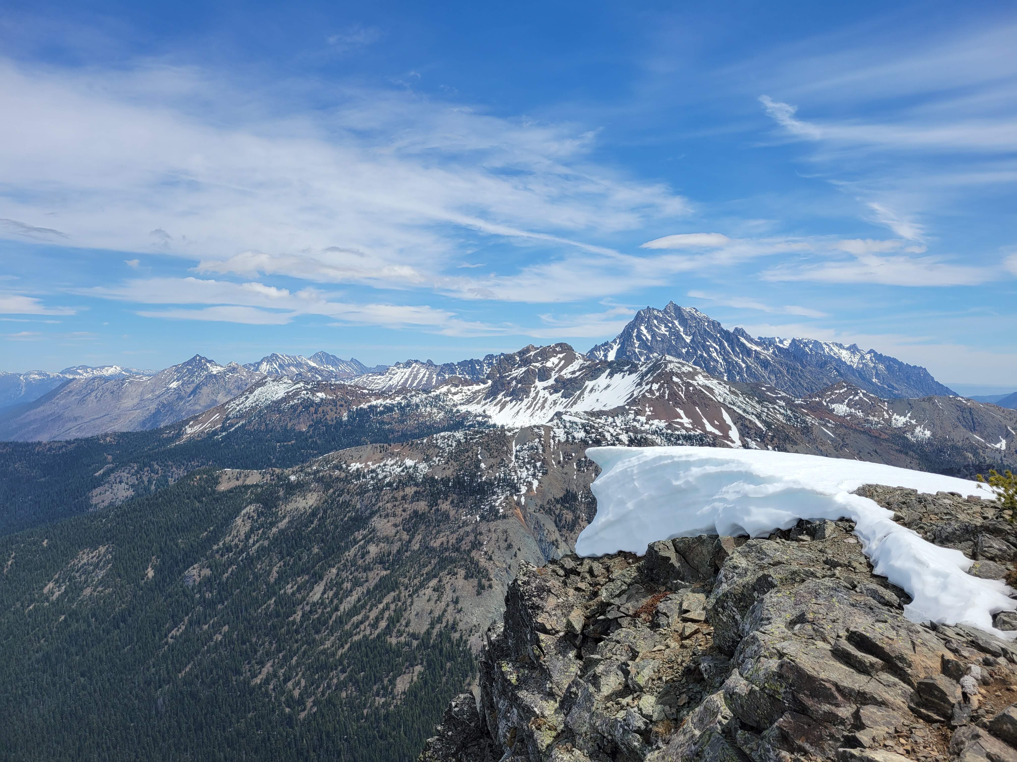
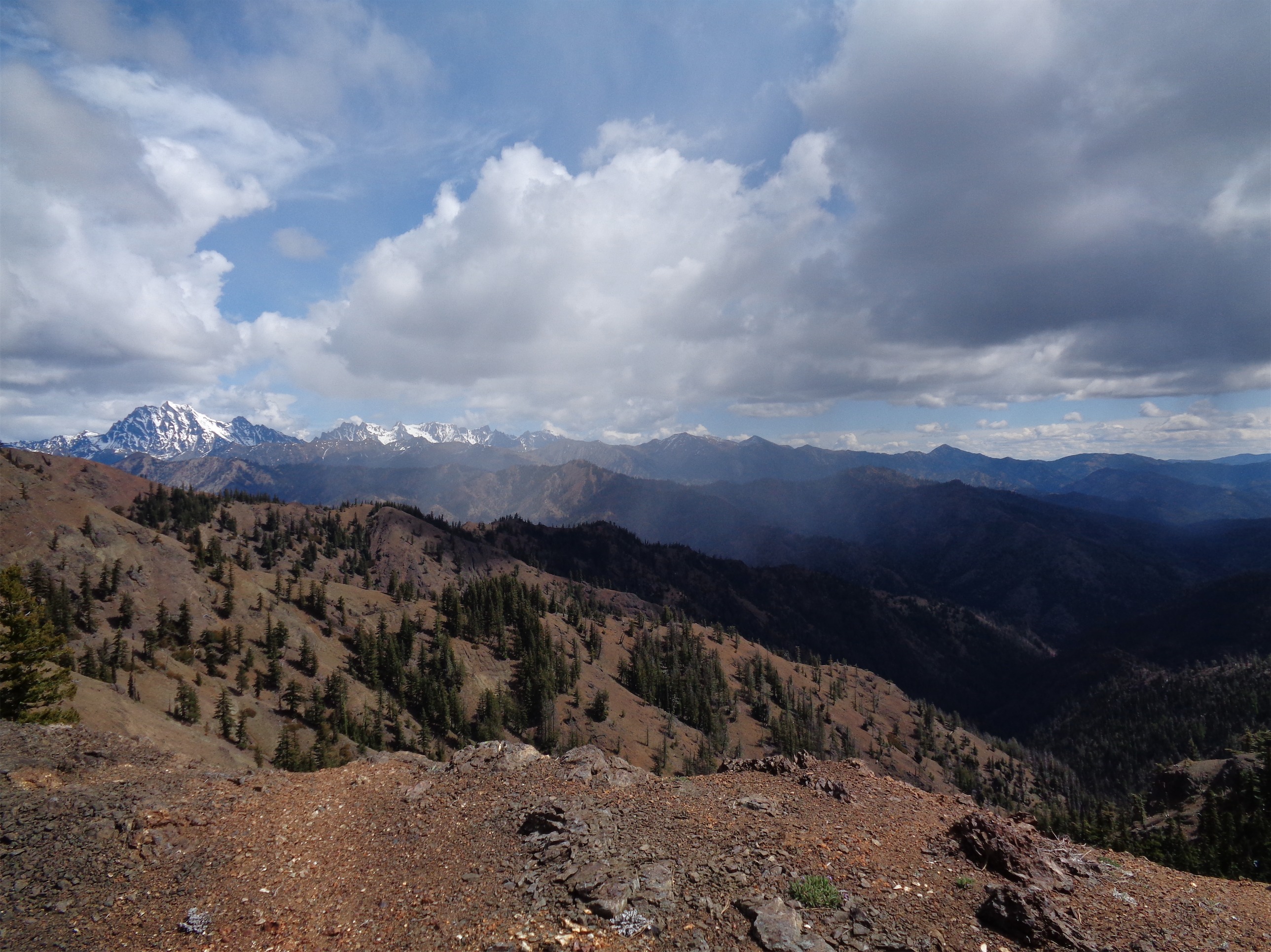
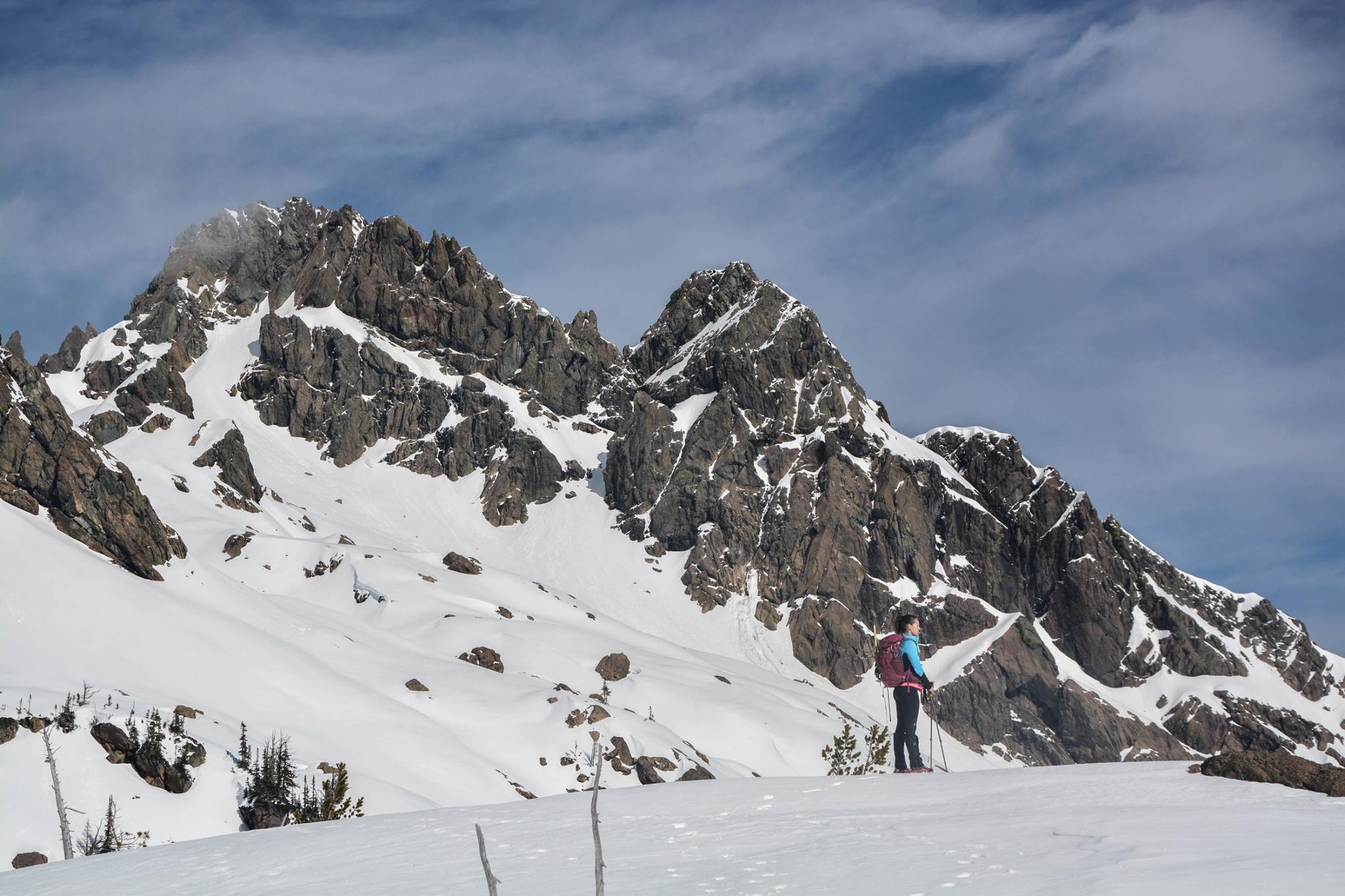
Stuart range behind Bill’s Peak (from Iron Peak)
I swear Stuart looks bigger from Iron Peak, but it’s just the fact that it’s framed by Gene’s and Bill’s. After a few minutes at the peak, we ran back down the ridge, and I got to spend 90 seconds pretending I was Killian Jornet. It was just under 30 minutes from the saddle to the peak and back, so absolutely worth it if you’re looking for a good two-fer.

Cornices along the ridge
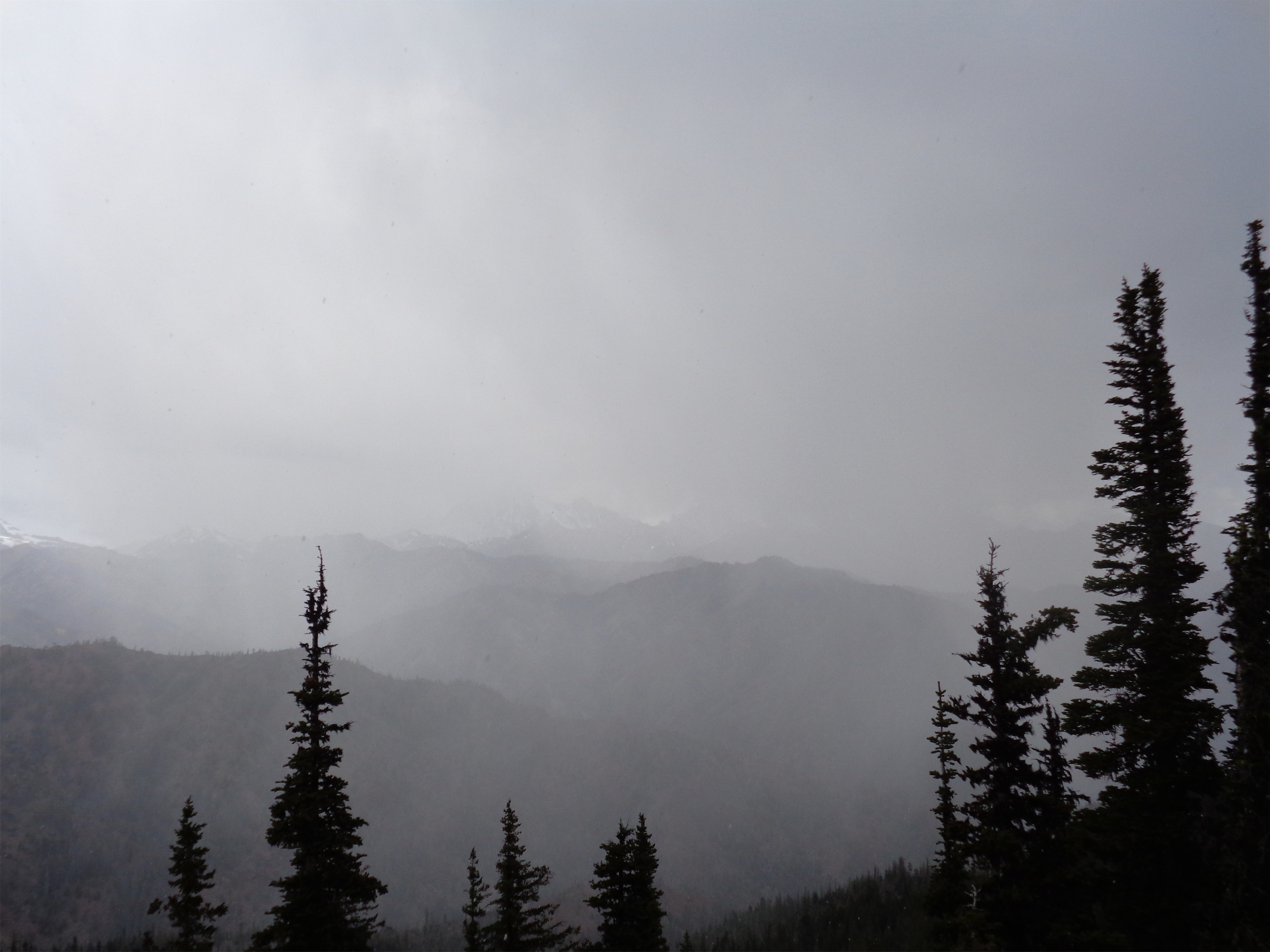
It was pretty windy at the saddle, so after more snacks Kayla and I headed back down to the tree line to wait for Kyle and Brian somewhere warmer. Plunge-stepping through the loose dirt (we skipped the steep snow) was much easier on the way down, and we sat on an outcropping of rocks to wait for the other. For what felt like an eternity. We heard a shout at one point, but couldn’t see either of them. How long should we give them before climbing back up to the saddle on a rescue mission? 10 minutes? Nah, they’d yell again if it was that big of a deal. Right?
Heading back down from the saddle
Soon we caught a glimpse of Brian running through the trees above us (of course) and shouted so they’d know where we were. They had taken a different route down from the saddle, so we waited at the bottom of the slope only to be pummeled by snowballs raining down from Brian and Kyle above us. I started running and narrowly avoided a snowball whizzing past my head. When was the last time I was hit by a snowball? It must have been four years ago. When did I get so old and boring?! I didn’t bother fighting back. My aiming skills are… sub par. I once missed hitting a tree with a papaya from about three feet away. If you want to look good playing catch, bring me along. I’ll make you look like an all star baseball player. But you’ll have to run for the ball a lot when I miss by 100ft. No, wait, can I throw that far? Okay, 15ft.
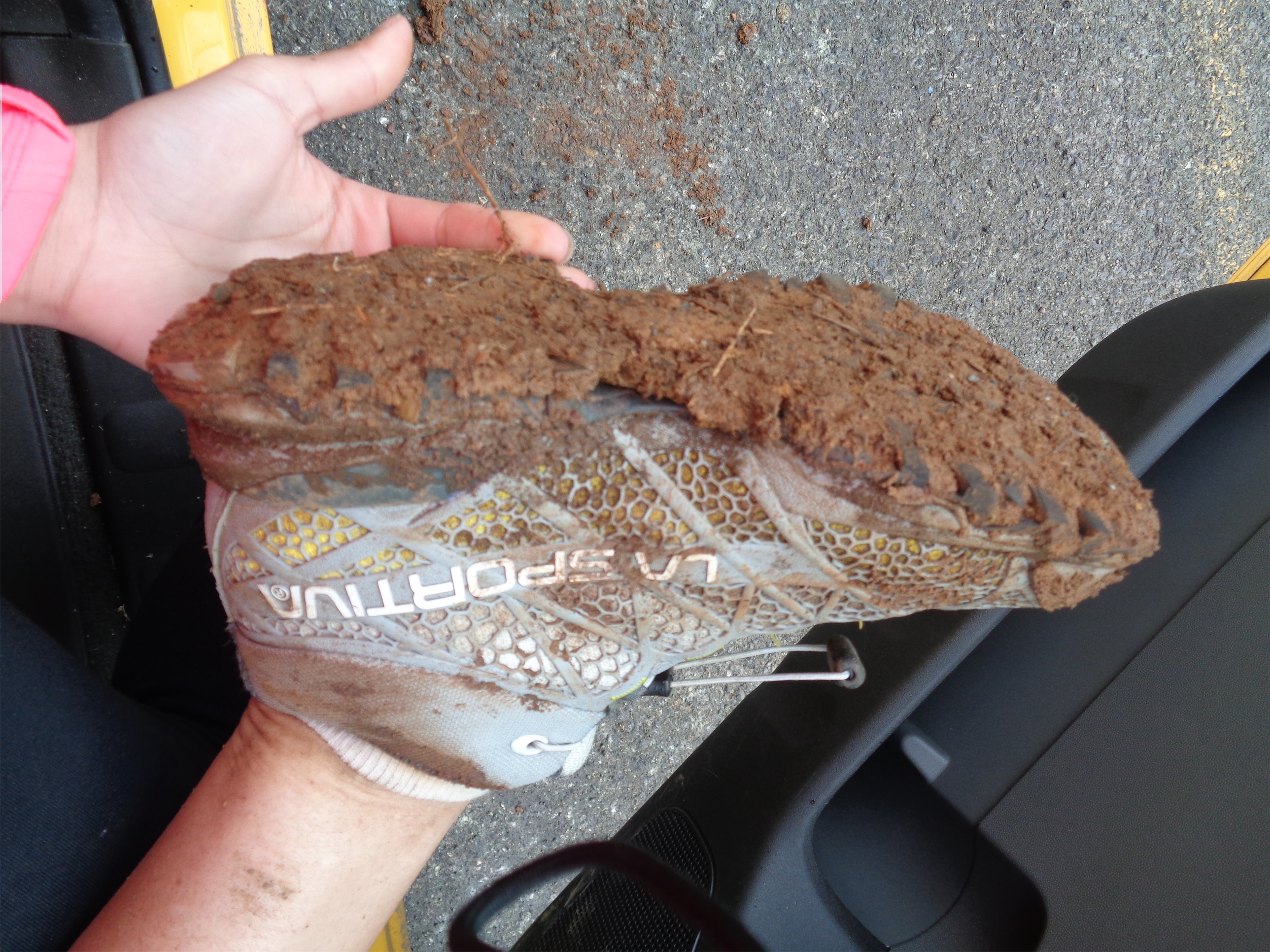
Following our footsteps back was straightforward, and soon enough we were back on dirt trail. I didn’t realize just how long the dirt section was . We were moving quickly, more quickly than the way up, but it felt longer. I whooped when we finally popped back out onto the road, and found our way back to the car. For once, I had remembered to bring a change of shoes so I didn’t have to sit around in my boots. Tip: Don’t forget socks. Like I did. Shit.
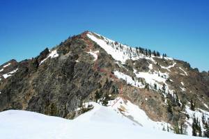
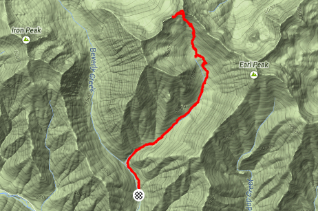
Red line shows our path up Gene’s (credit to Kyle)
Strava map can be found here, and above is a nice pic made by Kyle that roughly shows our scramble route up to the summit of Gene’s Peak. The snow field would have been doable as well, but I have to admit, I did enjoy the scramble.
We stopped for burgers at a fast food place where we demolished some huge double burgers and plenty of fries. I could not have asked for a better hike. Nevermind the 50th blog post, that’s just a silly stat. I just want to get out there and learn more often, and this hike was a perfect mix of snow, rock, and trail, with awesome views and an alpine feel to it. More, please!

Overlooking cornices on the way back from Iron