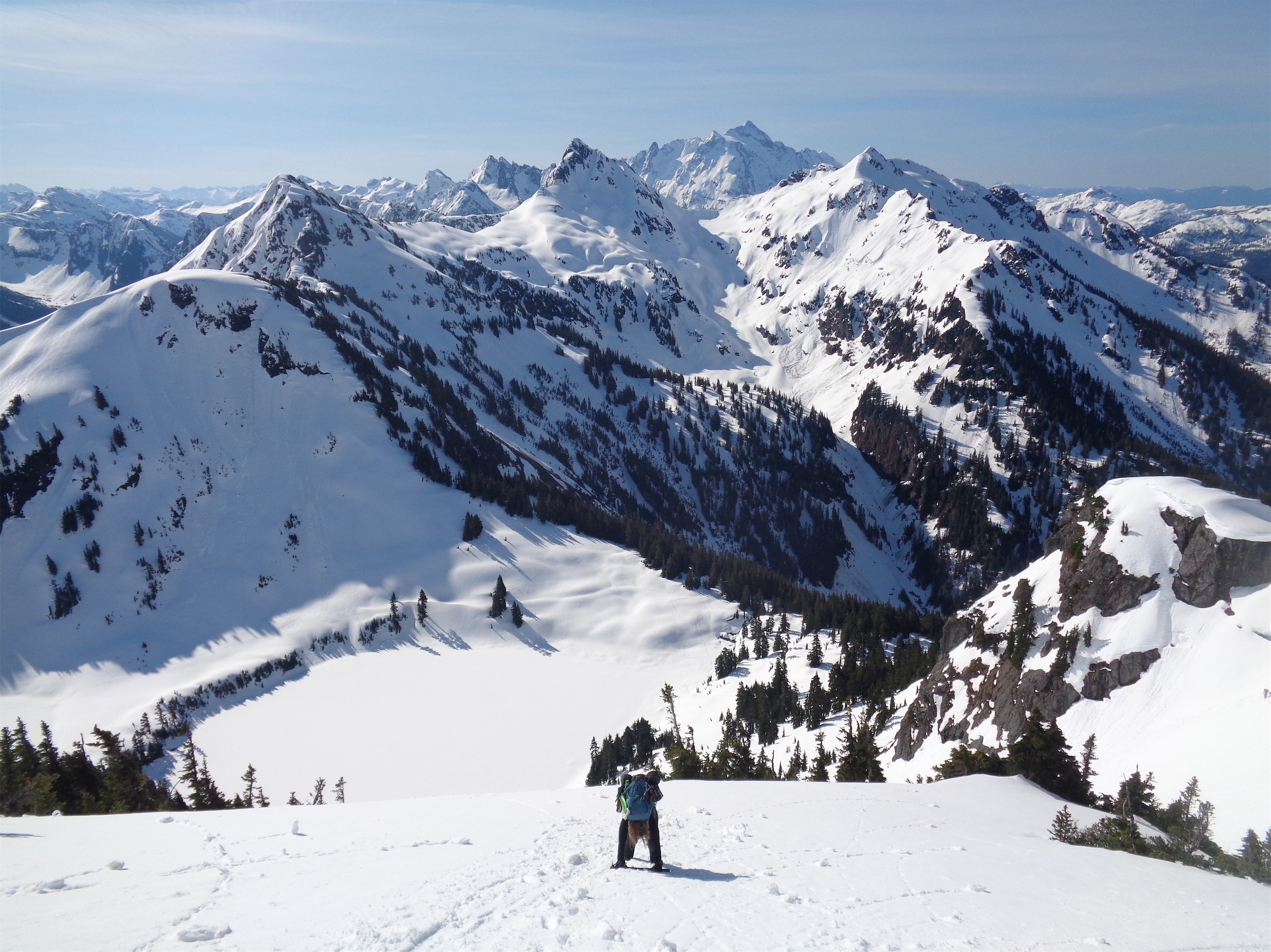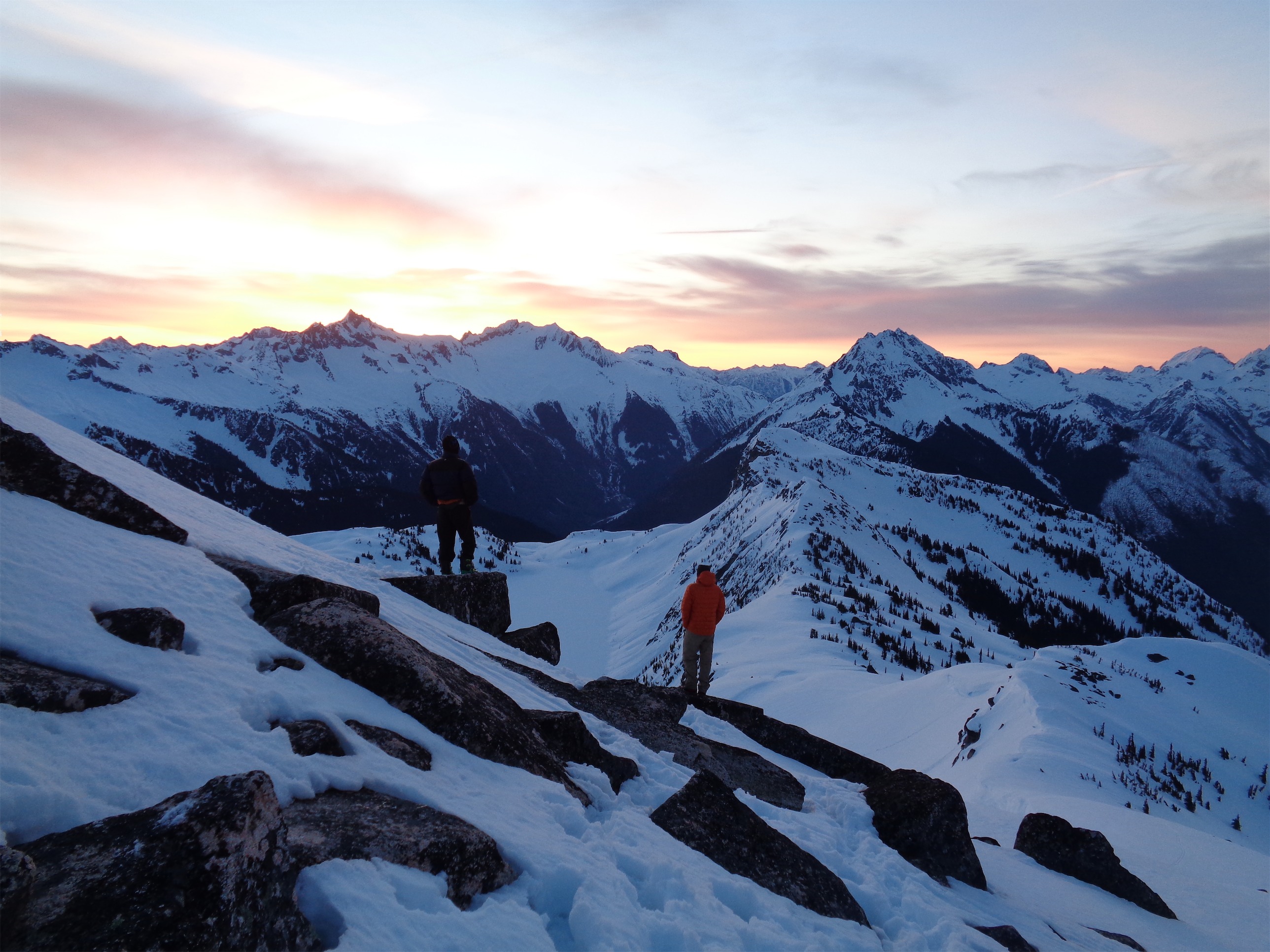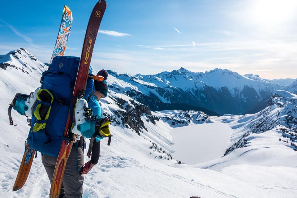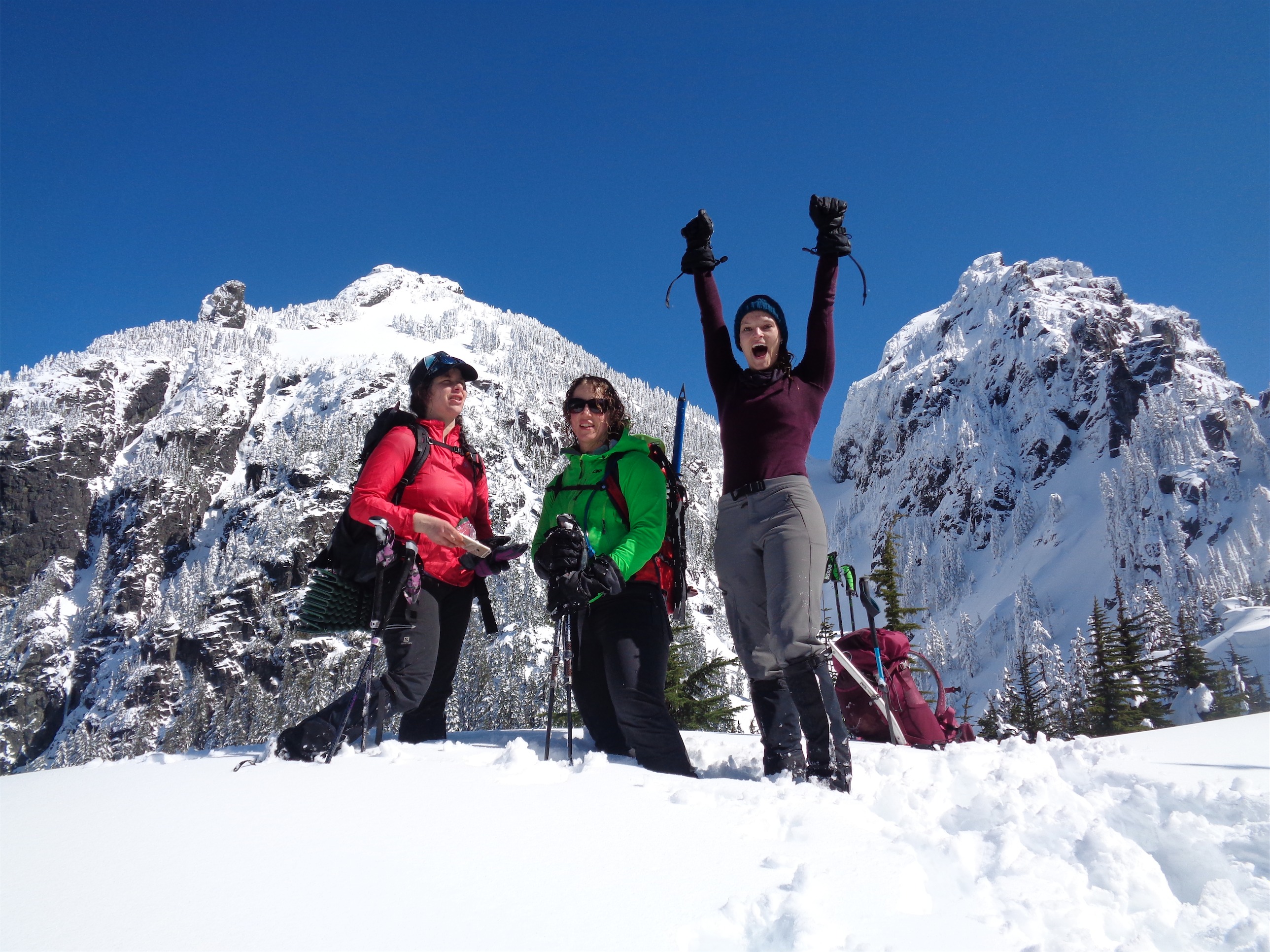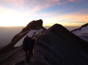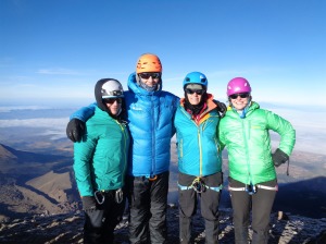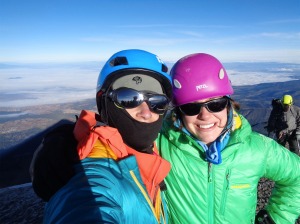
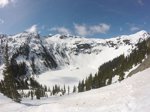
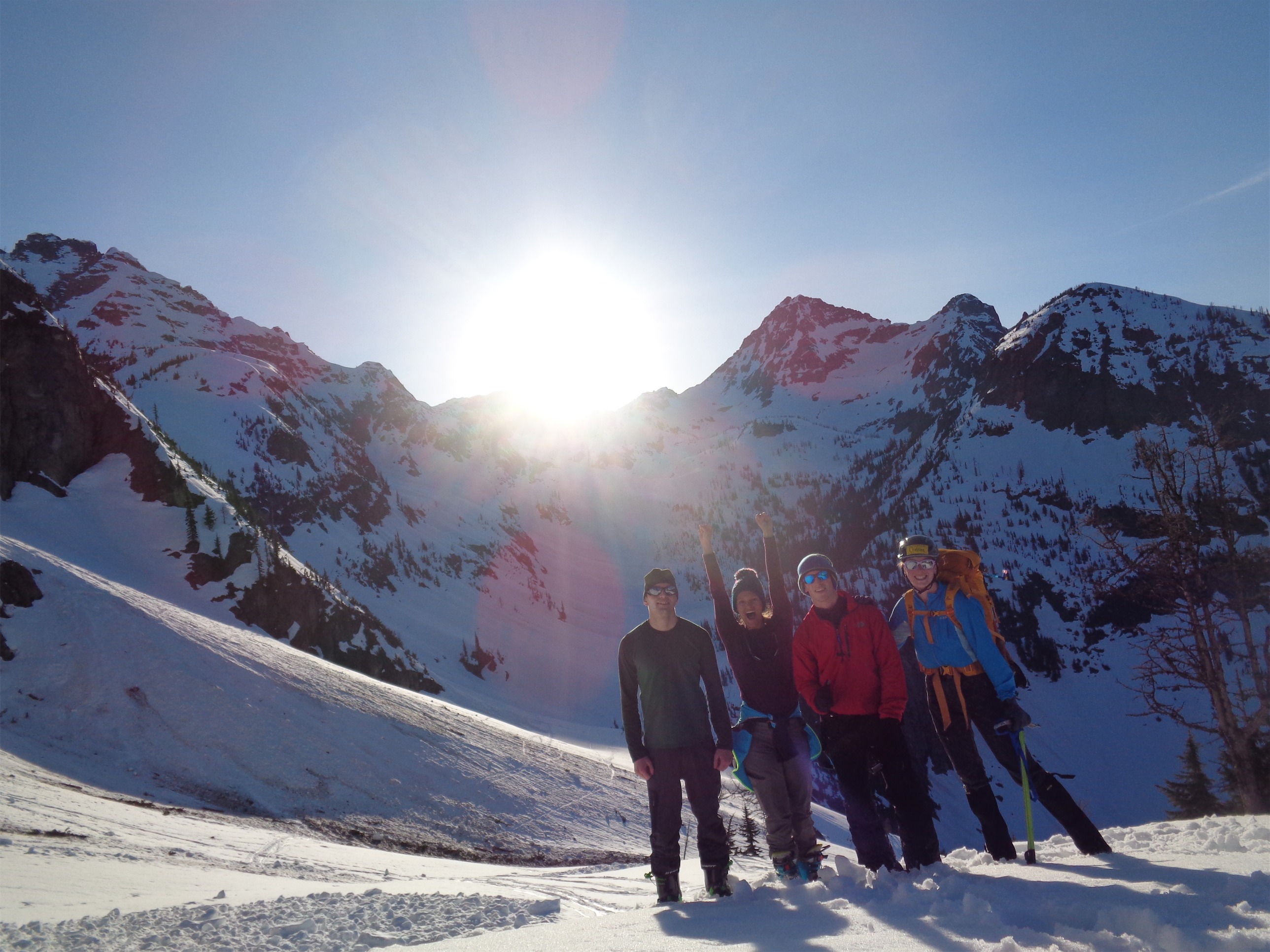
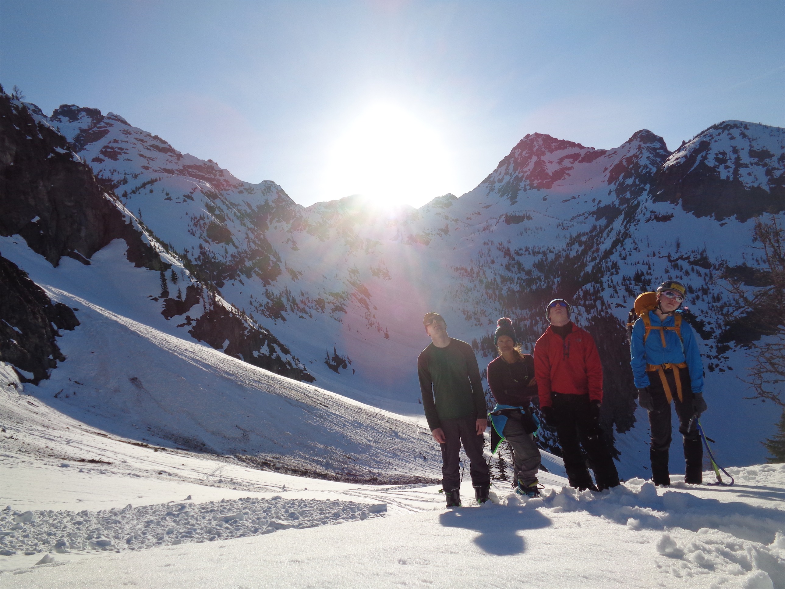
Chelsea, JT, and Sam above Wing Lake
- Distance: ~11 miles round trip
- Eleveation: ~4100ft (plus 500ft you lose and regain)
- Weather: 50’s and sunny
- Commute from Seattle: Three solid hours
- Did I Trip: I was thinking about this on the way down from Lake Ann, because I hadn’t, but I jinxed it and wiped out on my skis minutes later.
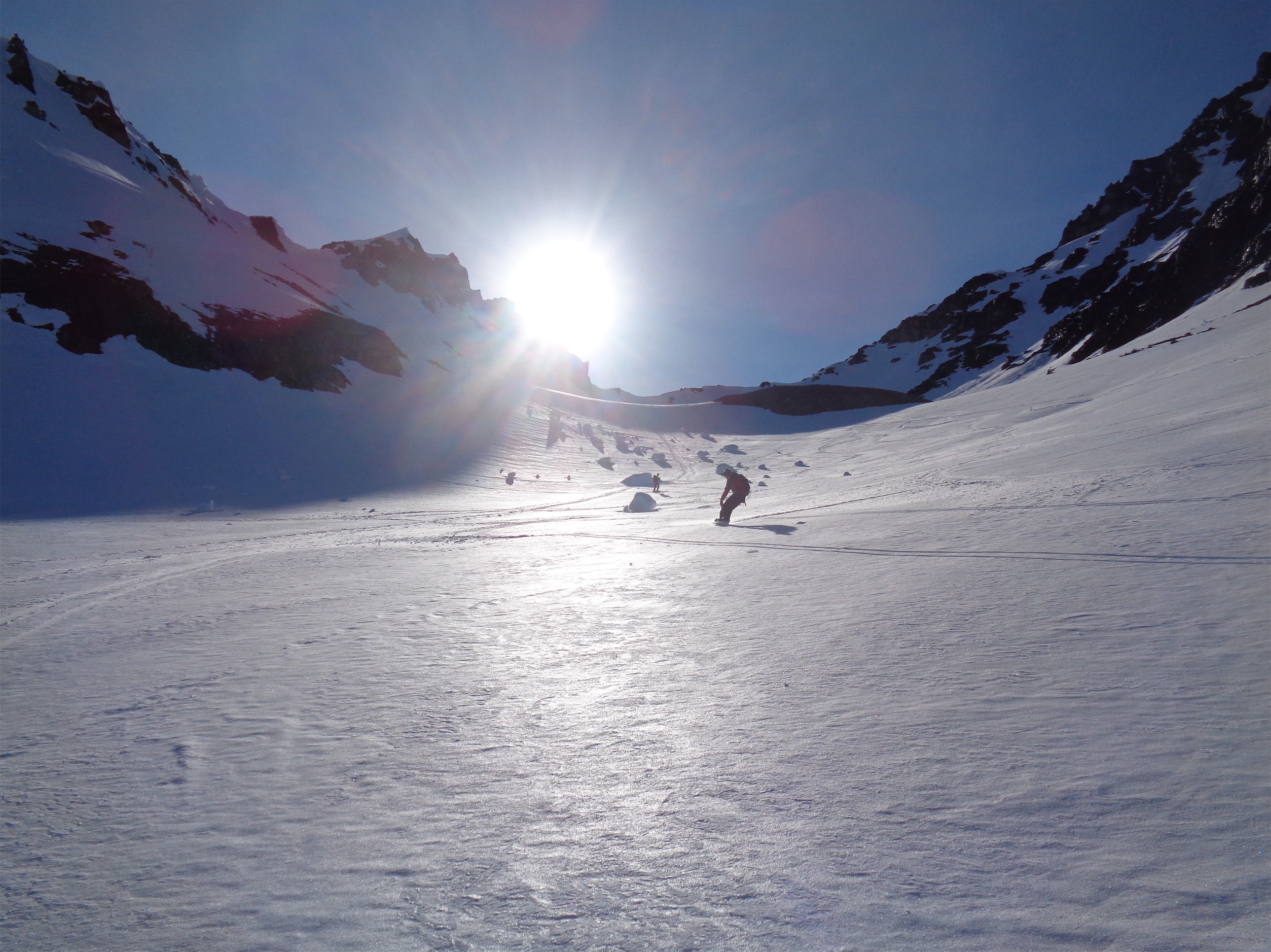
Skiing down!
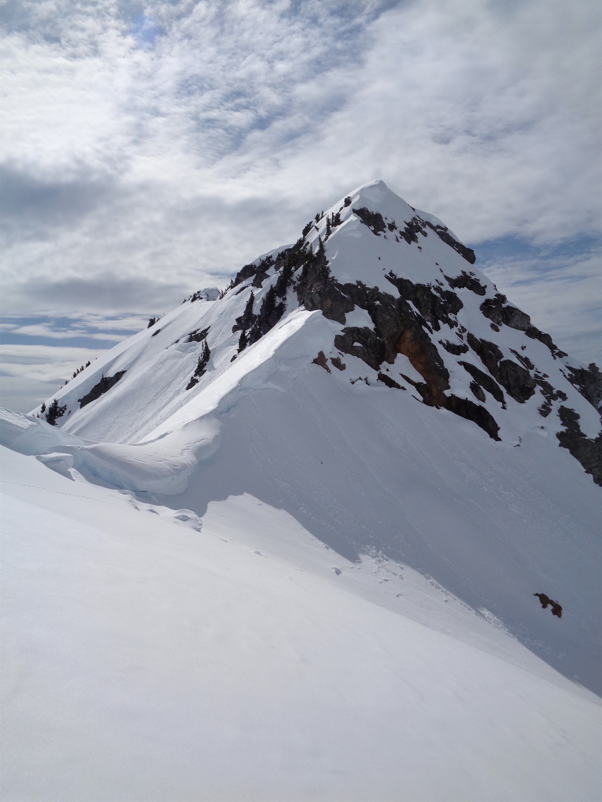
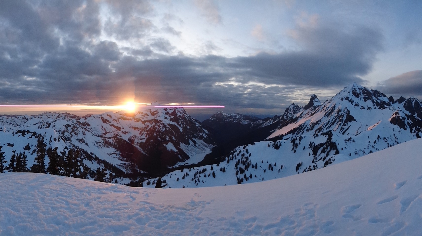
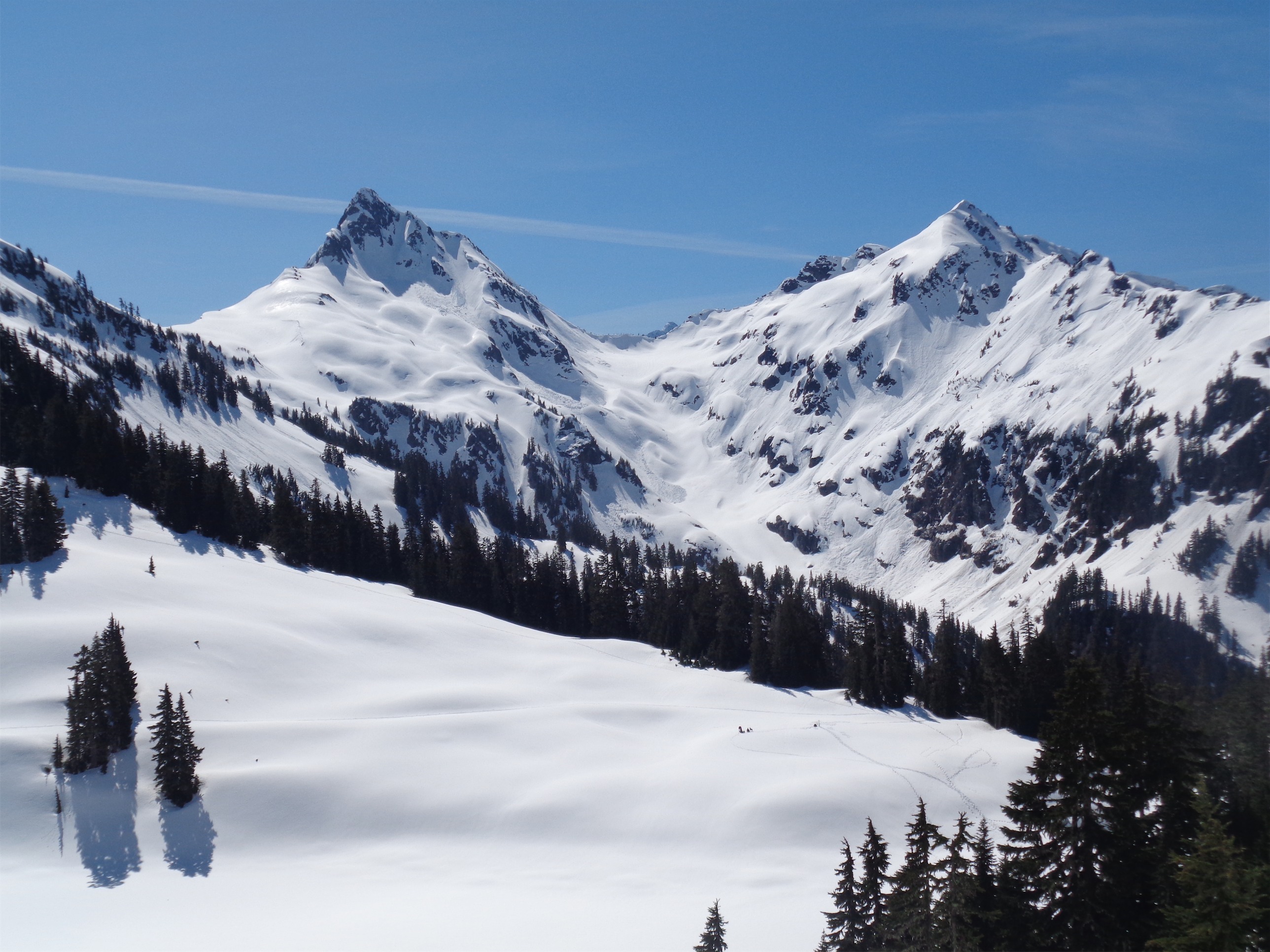
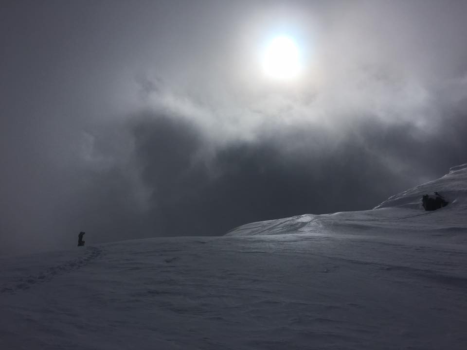
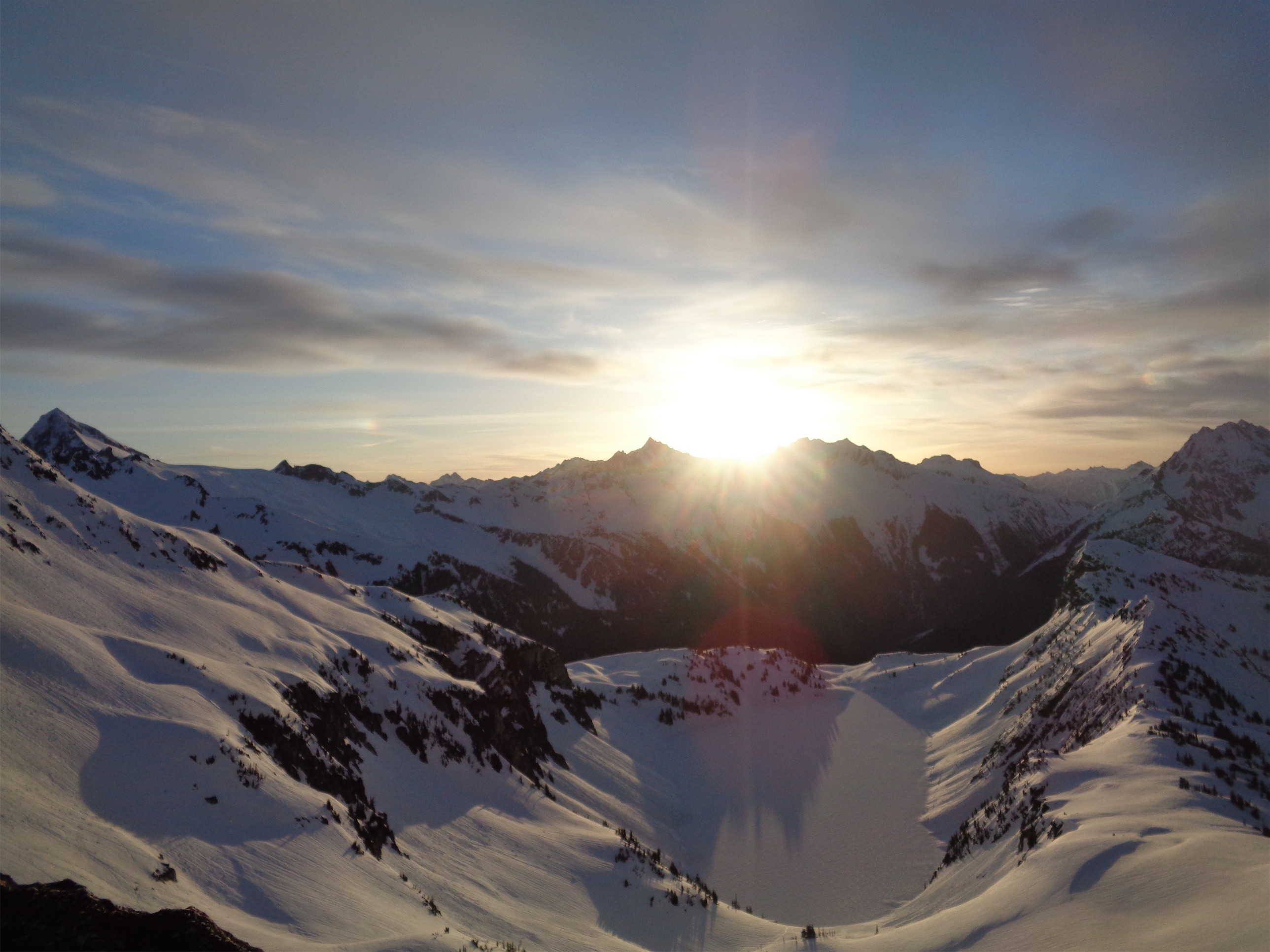
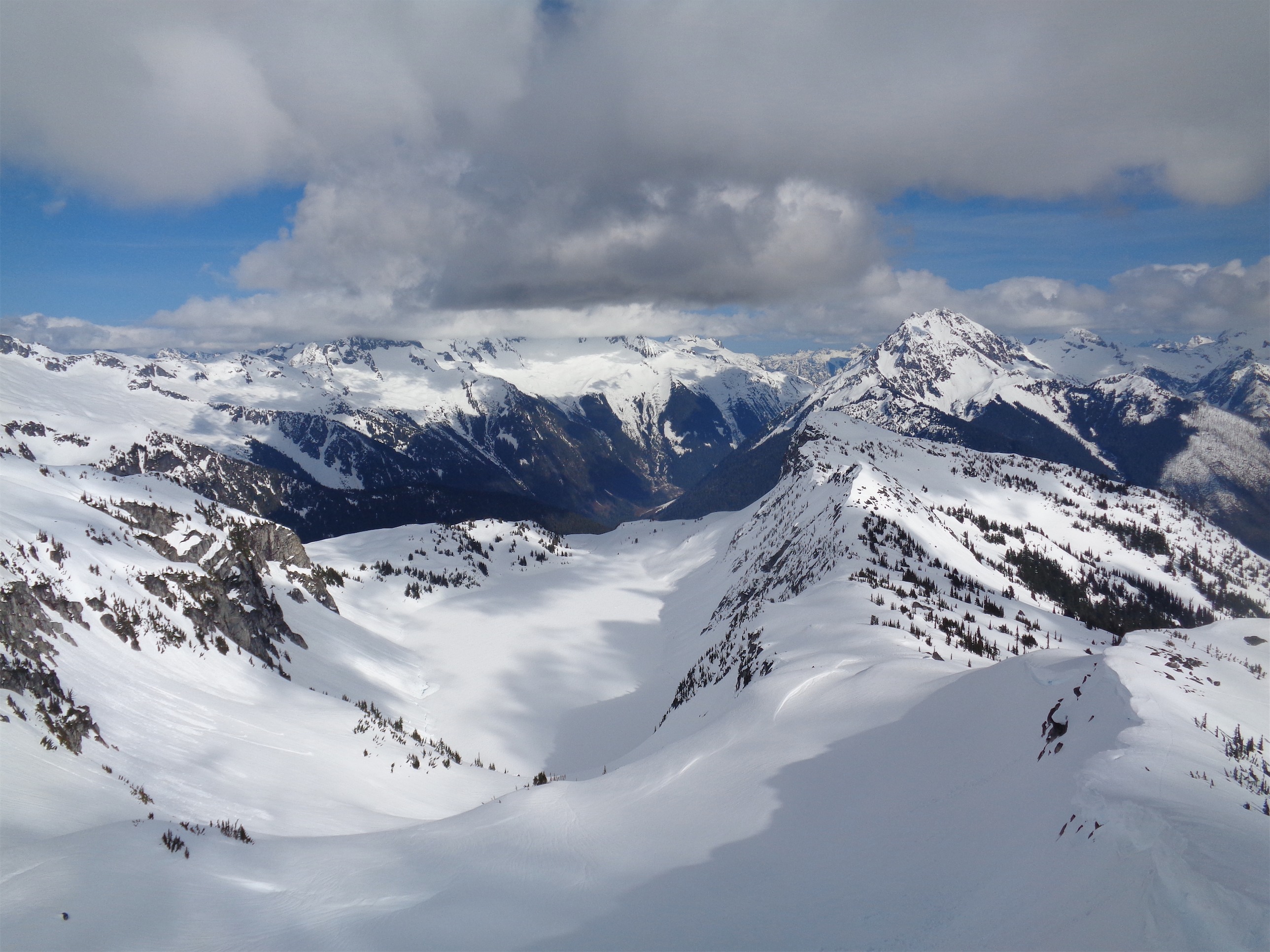
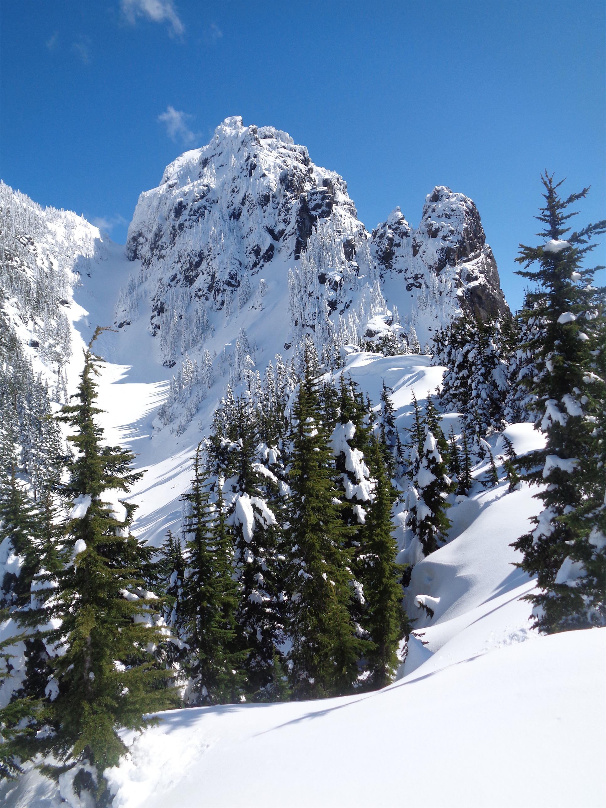
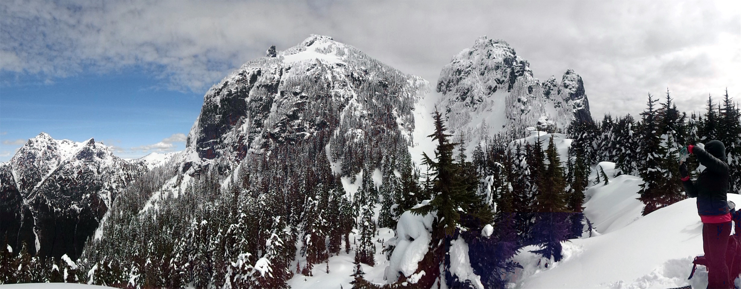
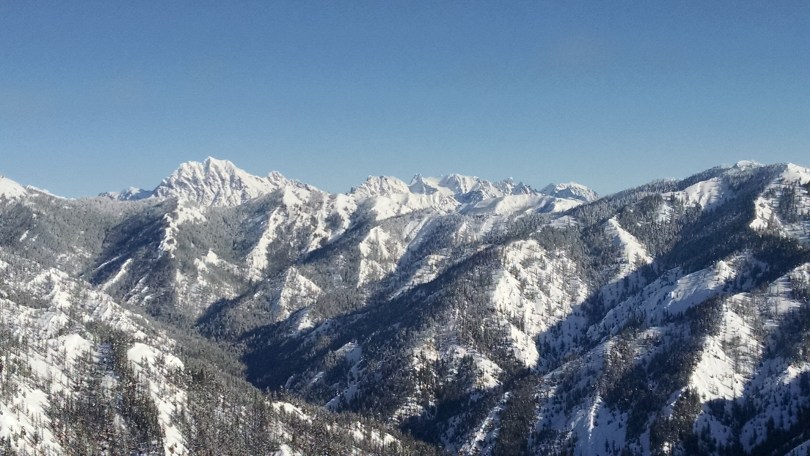
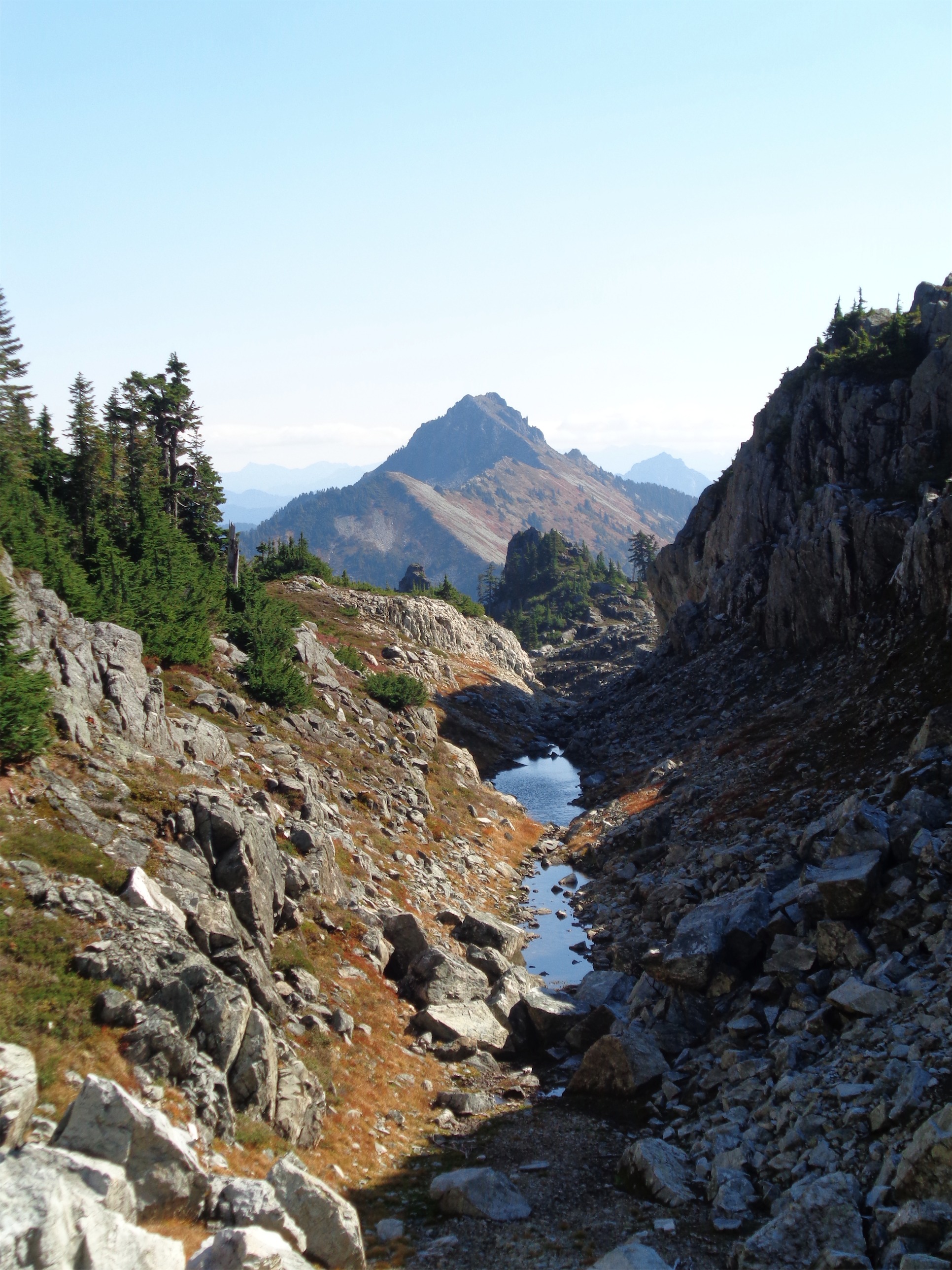
Black Peak over Wing Lake
When I was getting into mountaineering (I mean I still am), all the stories I heard were of success and accomplishment and the smooth trips where everything goes according to plan. Or they were horror stories, with storms and injuries or death, and you have the “it’ll never happen to me” feeling that us beginners have. No one mentioned the casual trials, the mental and physical and emotional discomfort, that often come with trips. Getting off route in a new area, or maybe you get to your destination but in the least efficient way. Choosing between being comfortable and sunburning or boiling in the sun with your base layer, or foggy sunglasses versus risking being snowblind, or do you sweat in your goretex shell or just get rained on? Or how being tired just becomes a constant and you figure out how to savor the ups and push through the downs.

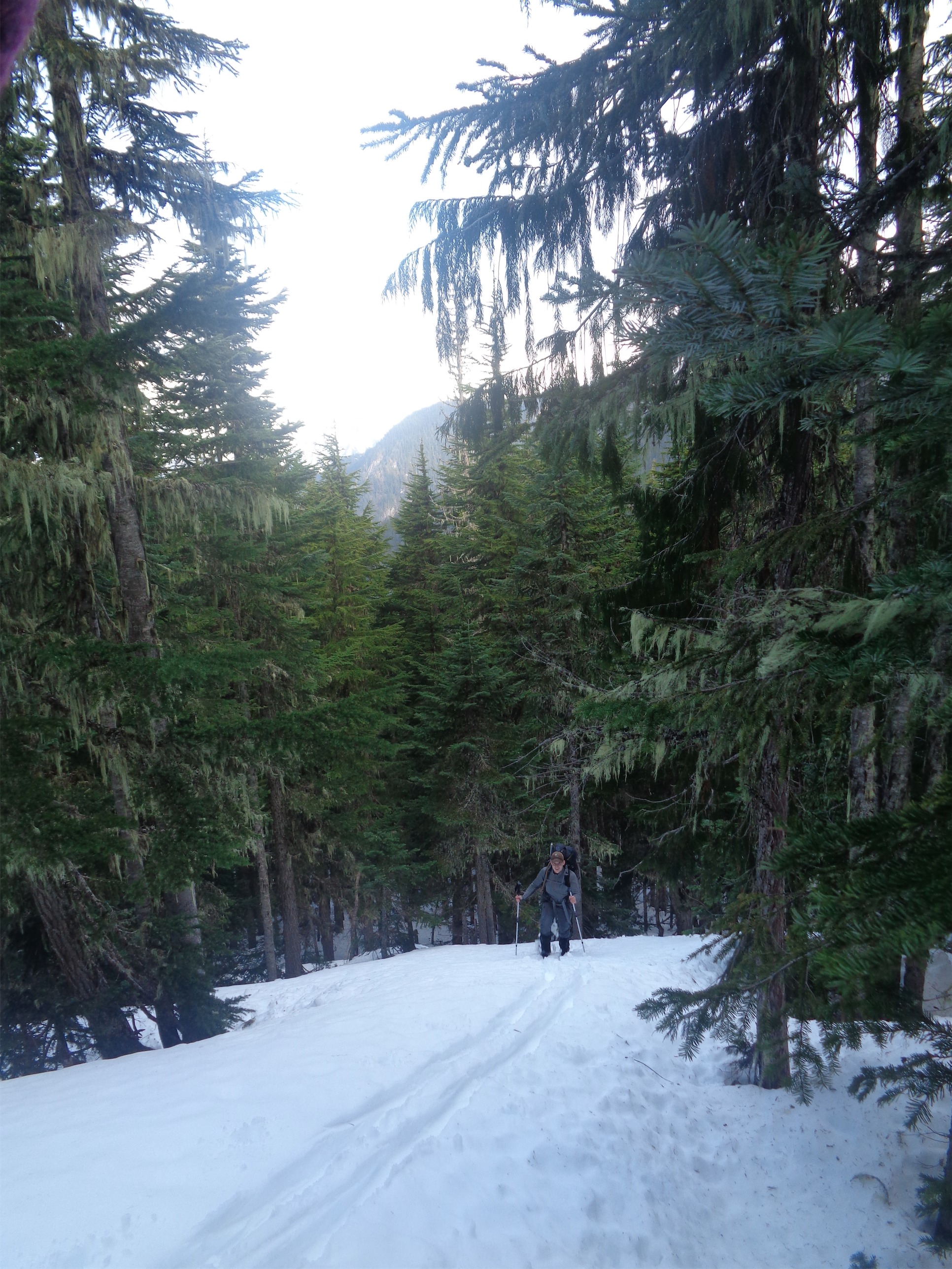
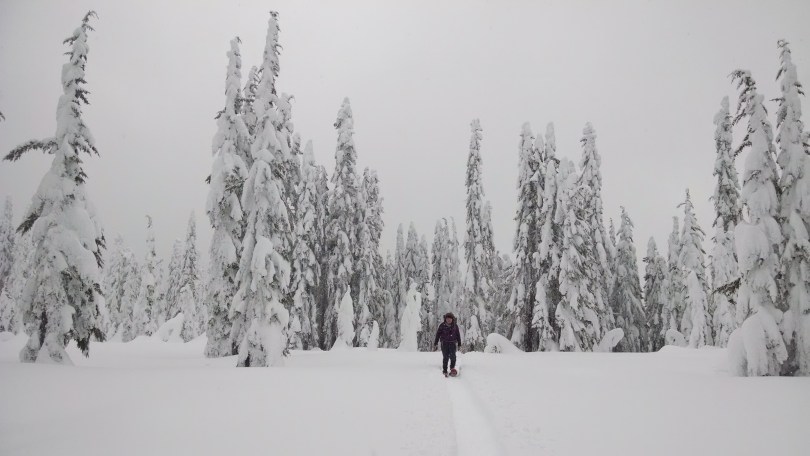
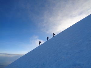
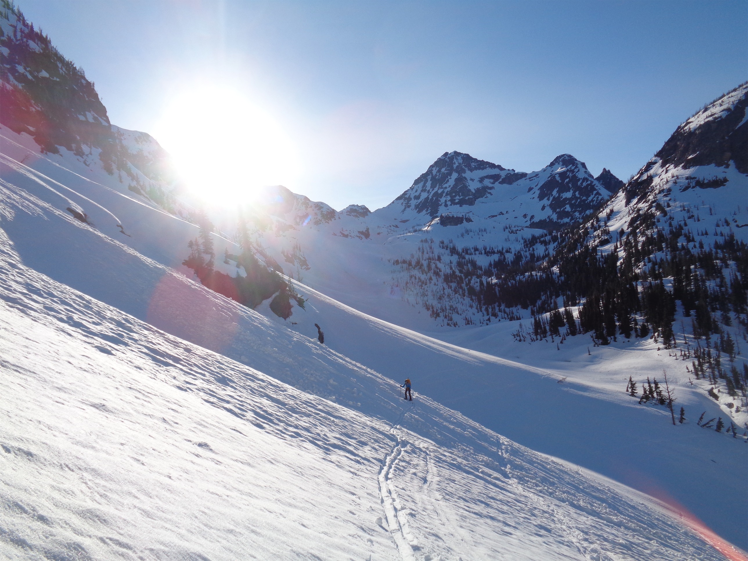
JT skinning just past Lewis Lake
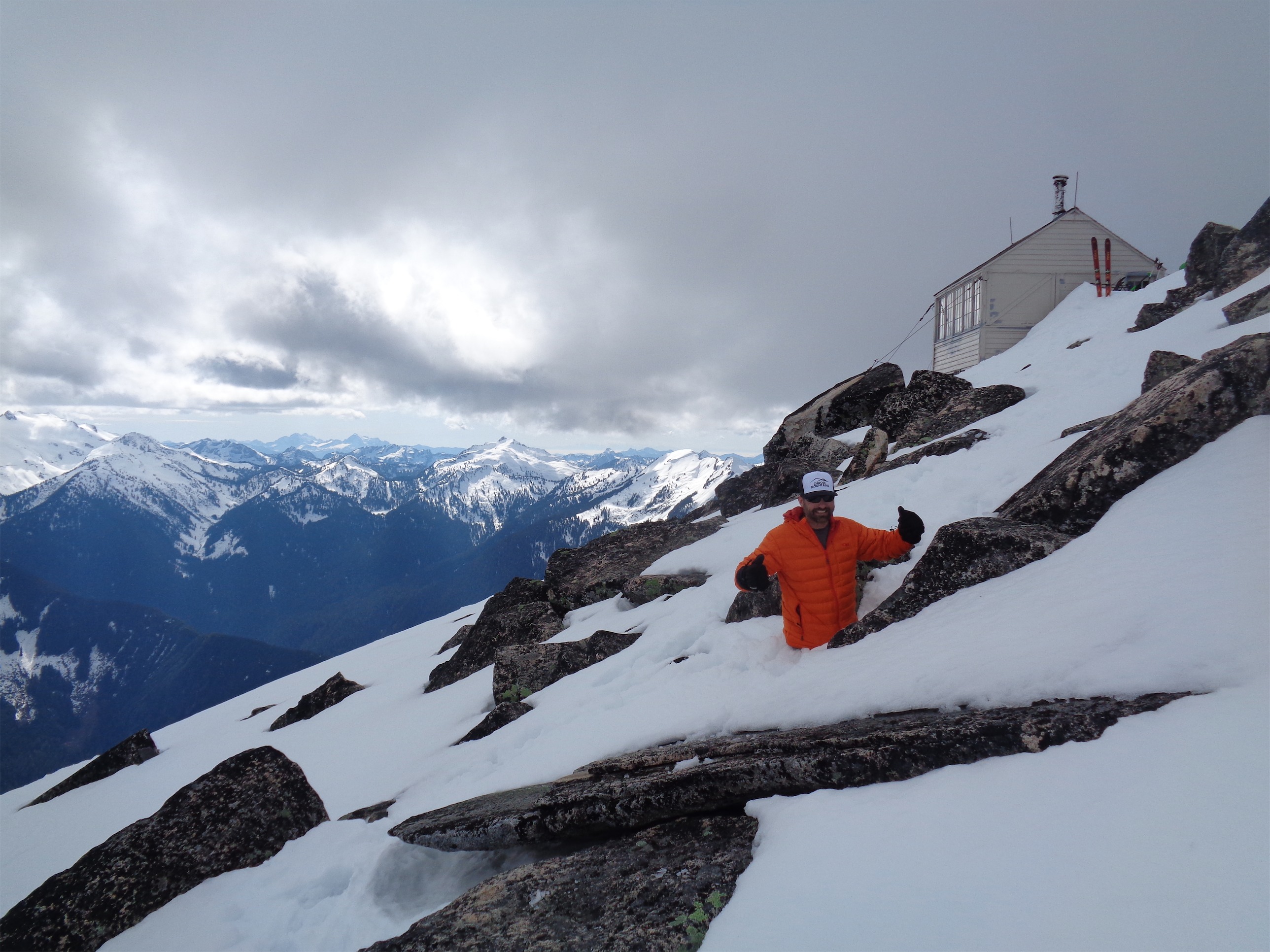
I don’t actually know where “snow hiking” or “backcountry skiing” turns into “mountaineering,” but it sounded catchier in the title than the other two. I tend to consider mountaineering anything involving technical glacier travel or alpine style rock climbing, but steep snow, avvy terrain, and needing basic skills like self arrest, self belay, kicking steps, and fake front pointing (we weren’t wearing crampons) and peakbagging all in one trip can blur the line.
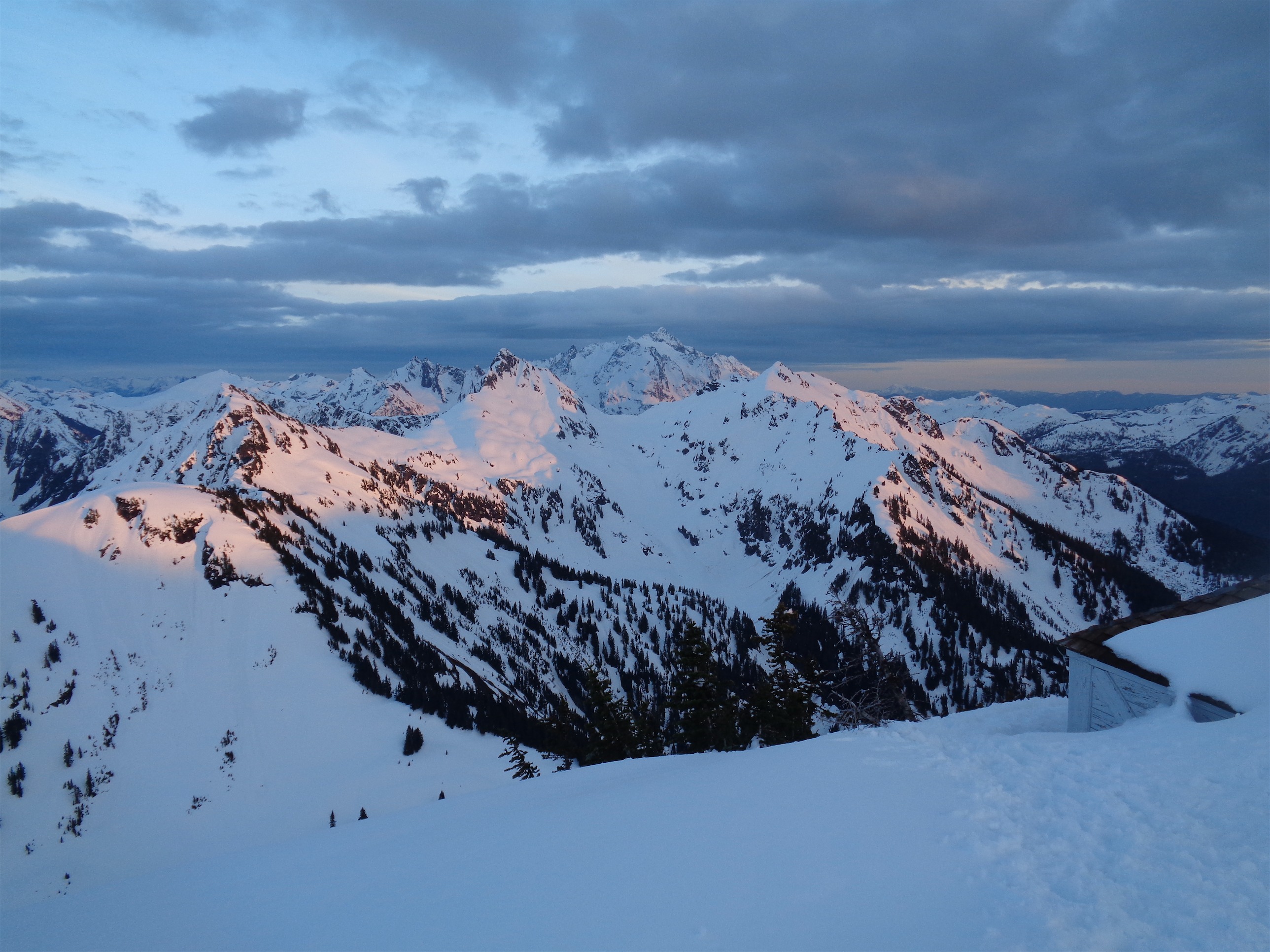
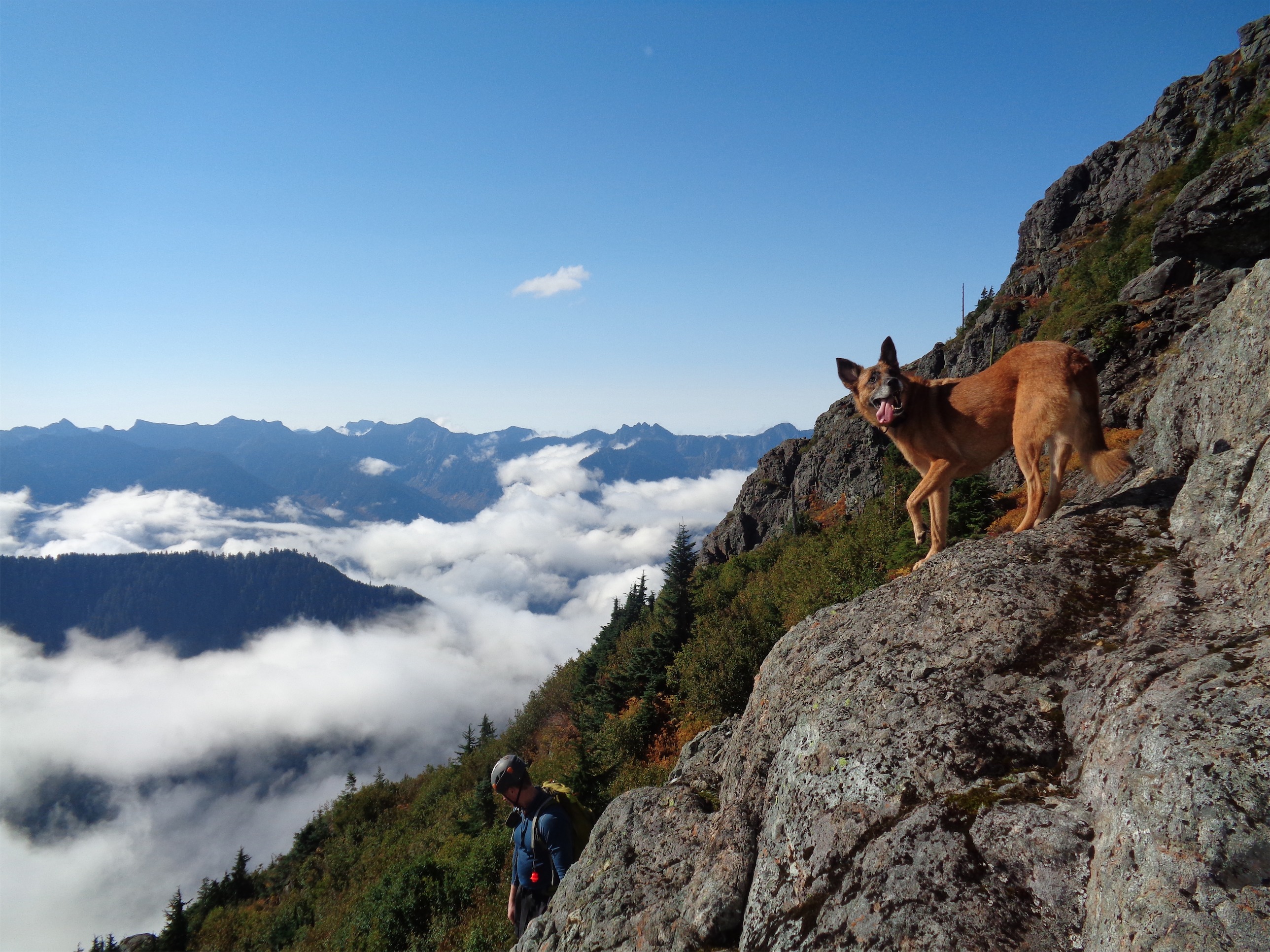
Great visibility. Can I blame my navigation on that?
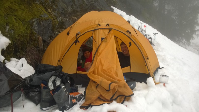
Sam had wanted to snowboard Black Peak for months, and the highway was finally open! We were originally going to overnight it, but Sam had to dog sit last minute, so we were limited to a day. But we figured a day would be plenty of time. We all drove up Friday night. Chelsea was first, getting there around 9pm. JT was second, I have no idea when he arrived. I got there at 11:59pm, just barely beating the crack of midnight. When I first got my Xterra, my mother said “don’t you dare ever sleep in it, it’s creepy and weird.” Spoiler alert: I slept in it. Sorry Mom. I’m guess I’m creepy and weird. I could set up my mountaineering tent on pavement on the side of the road in the rain and deal with a wet tent, or I could curl up in the back seat and avoid putting in any effort. Back seat it was. Sam showed up last, stopping to nap in Newhalem at 11:30pm, rallying at 2:30am, getting to the trailhead at 3:30am, and immediately passing out again. If only sleep were optional.
We got up at 5 to start moving. I was considering sleeping another half hour or so since it was foggy with low visibility and how are you supposed to get excited for a ski trip when there are no views? But with everyone else ready to head out, I conceded and grabbed my stuff. We could put on skis immediately thanks to the 4-5ft of snow at Rainy Pass, and I led the way to the start of the trail.
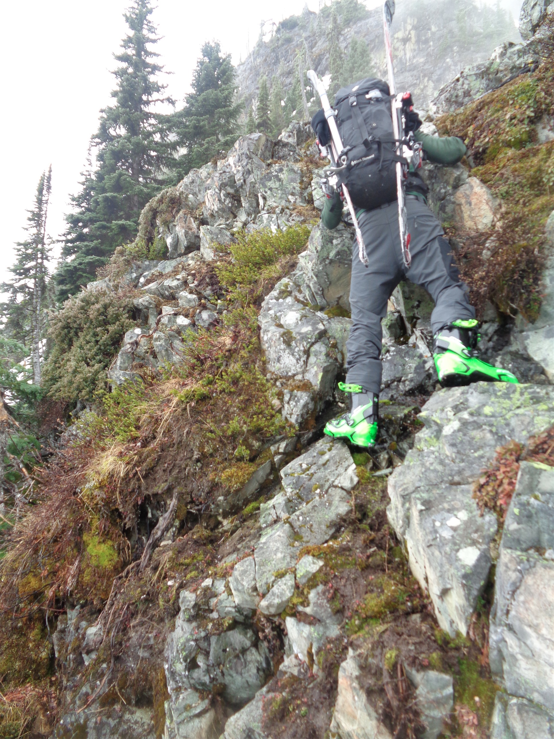
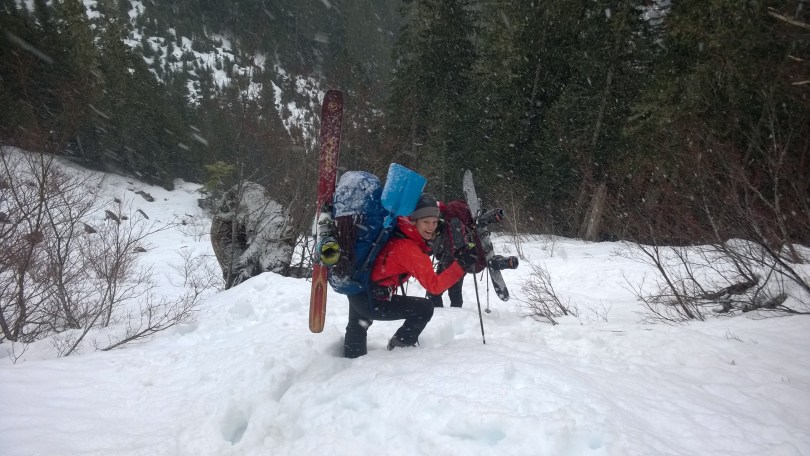
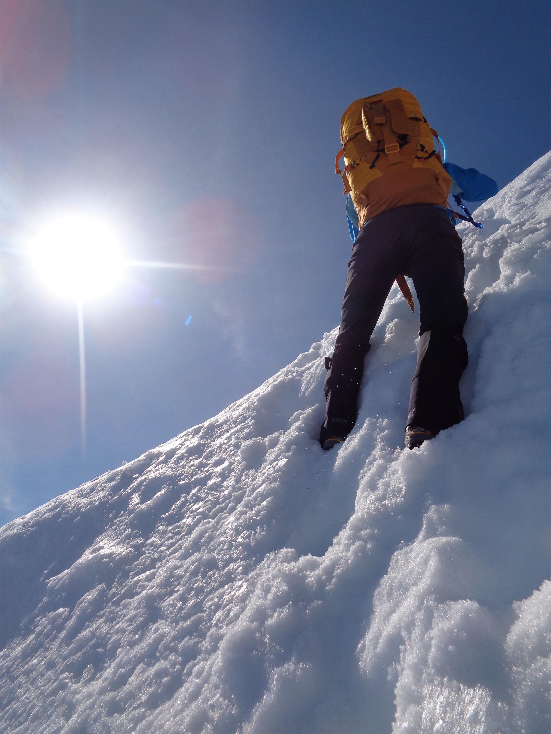
Nothing better than scrambling in ski boots! Oh wait, everything is better.
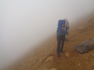
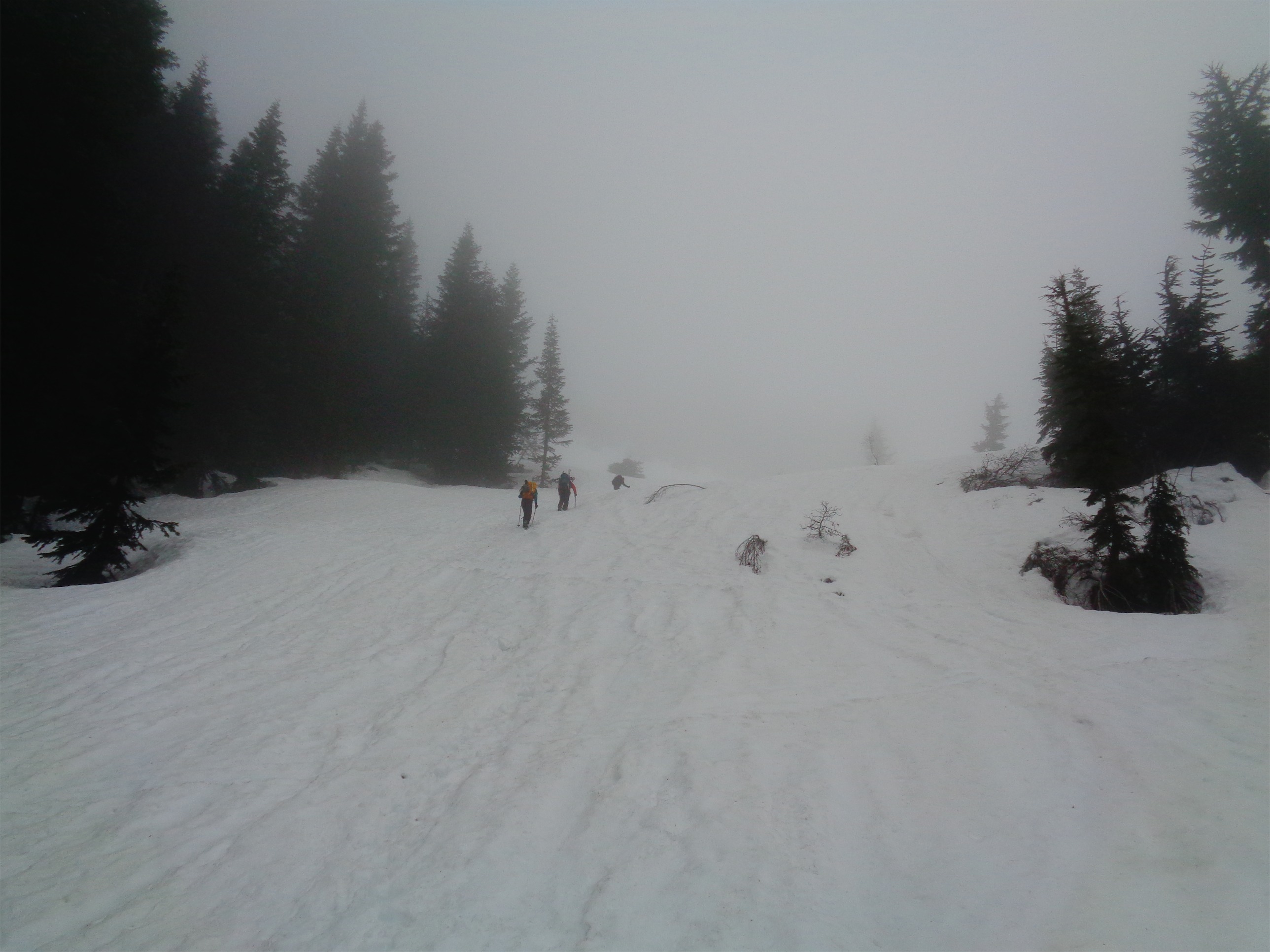
When I did this peak in summer, there were two areas where the trail meets the parking lot. One will lead you clockwise around the Heather/Maple Pass Loop (4 miles to Heather Pass) and the other leads you counterclockwise (2 miles to Heather Pass). This is the foundation of my error. I led us to the second trail. We started up, and began to traverse towards Heather Pass around 6500ft. Why didn’t I realize most people in winter went to the lake and then cut directly up to Heather Pass? Because it wasn’t mentioned in anything I read and I assumed because we all knew the area that we’d get there easily, meaning I never actually sat down to look at a map and figure out where the path of least resistance may be. But we knew where we were and where we had to go, it just wasn’t efficient, especially with ~50ft of visibility. Oh, and after a few pictures of us socked in by clouds, my camera decided it didn’t want to work anymore. Ok, cool.

Phone pic of Chelsea while the clouds finally dissipate
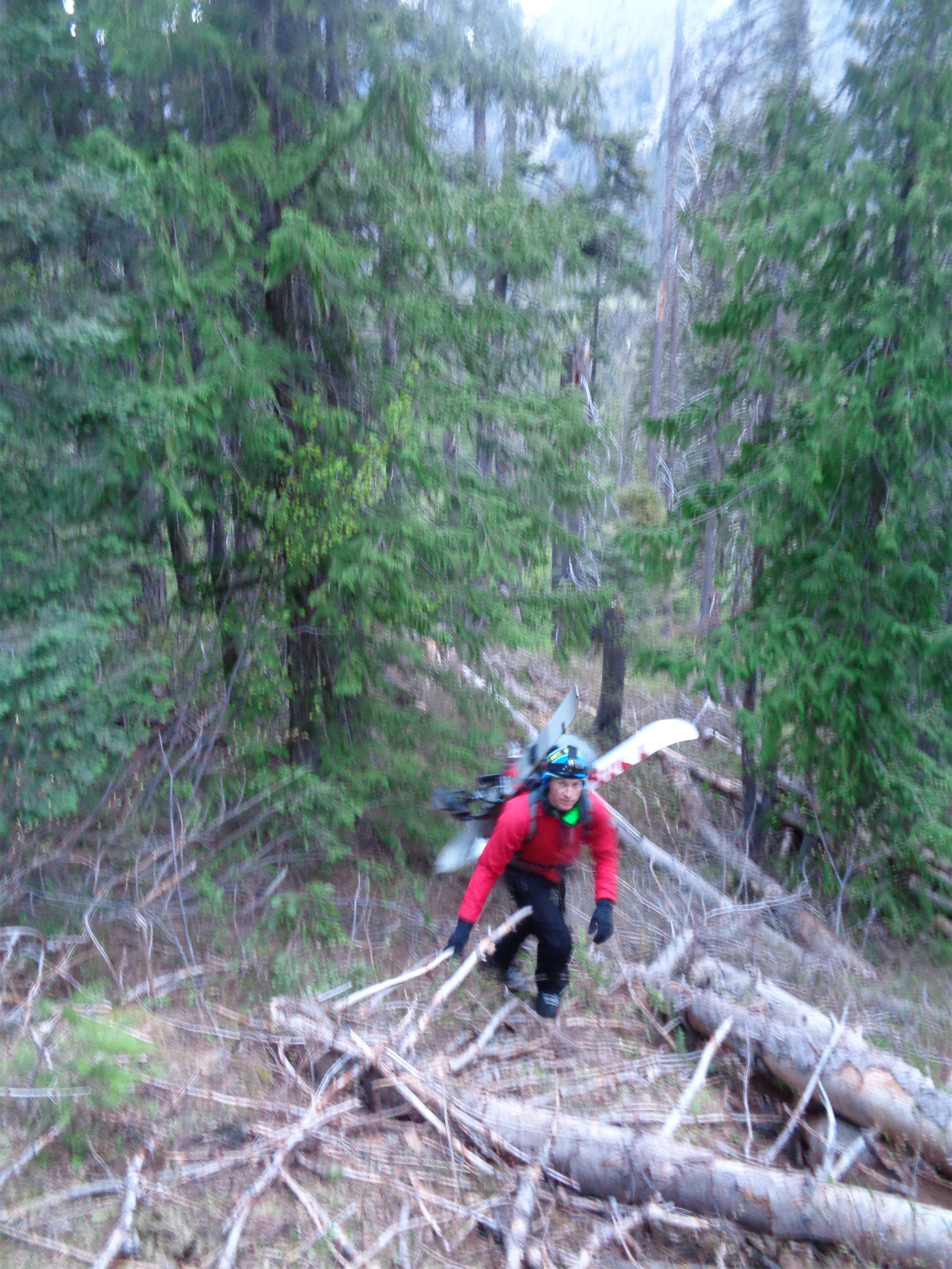
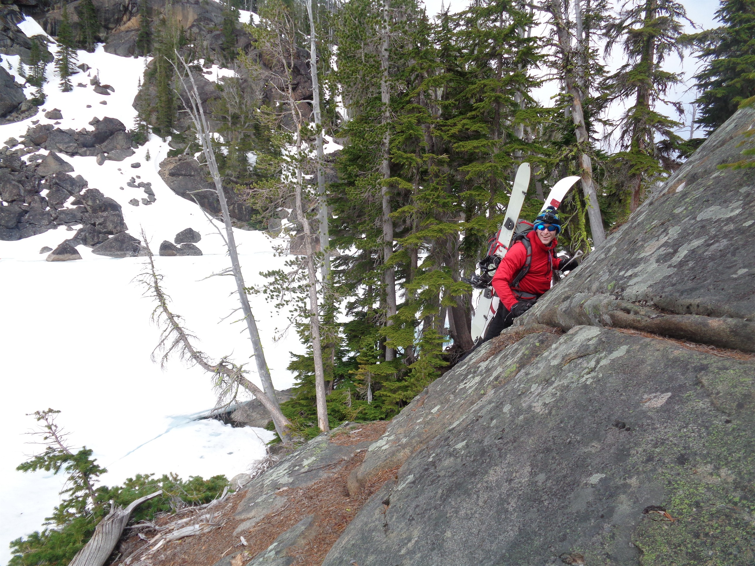
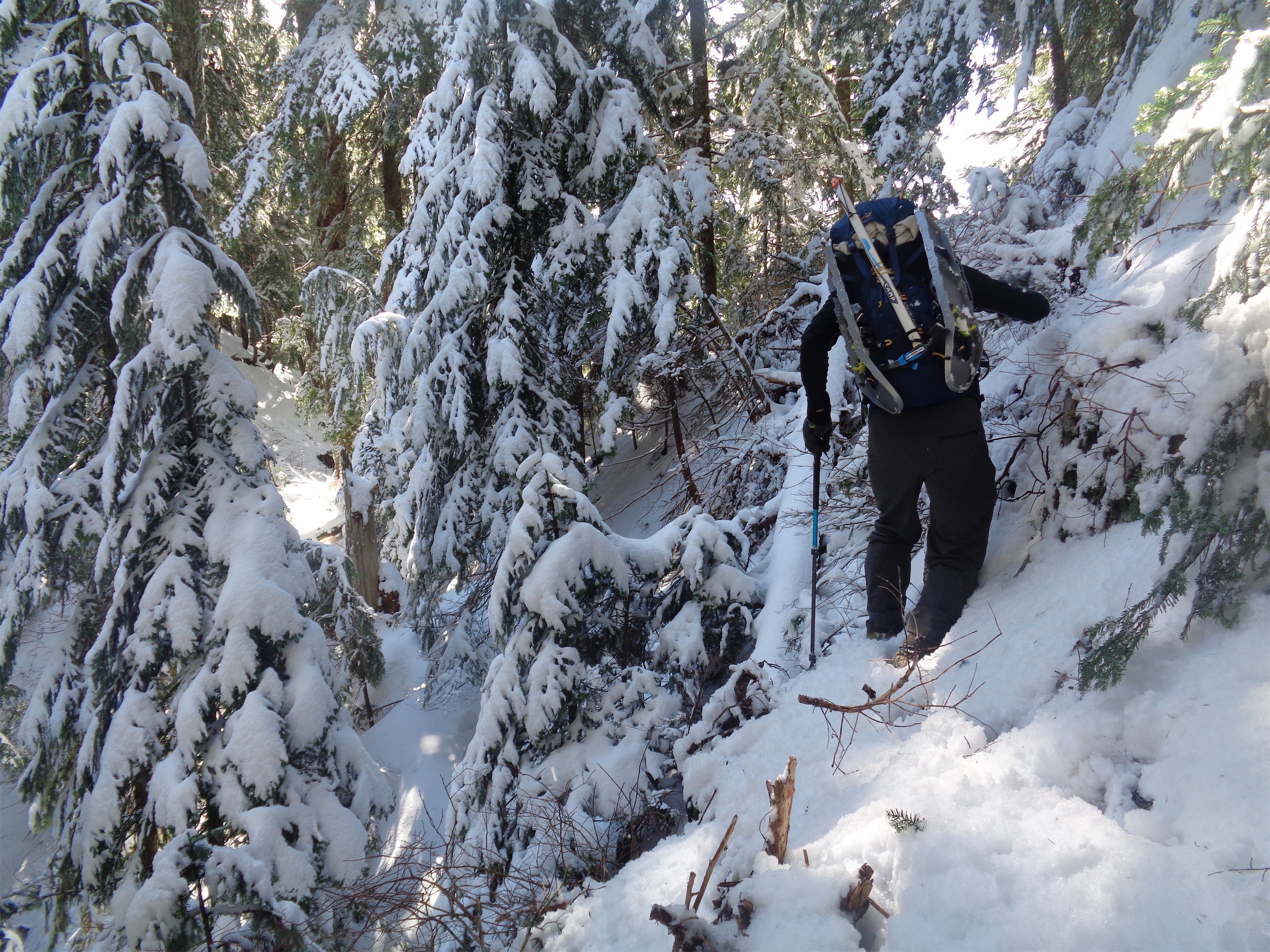
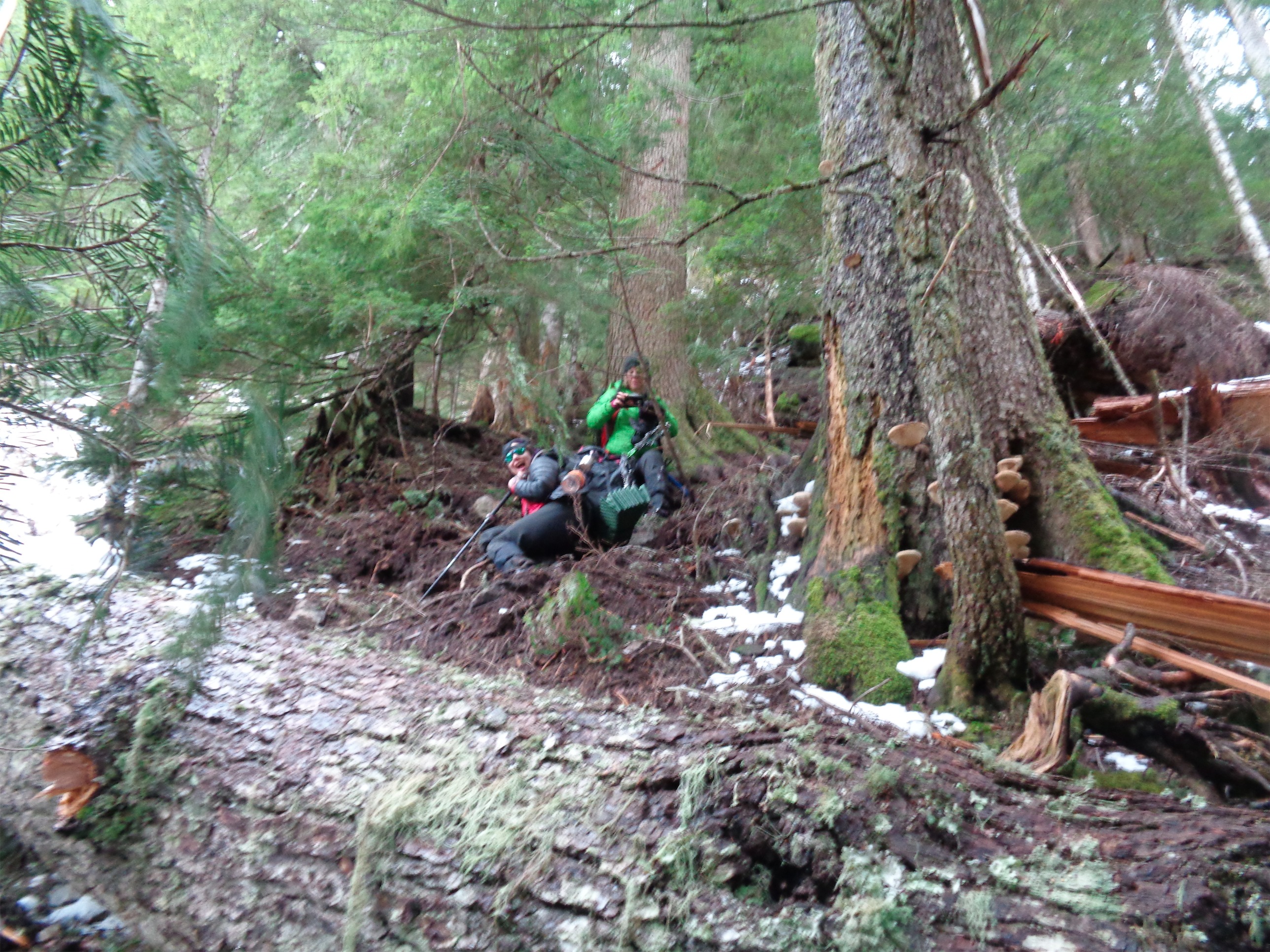
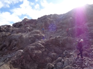
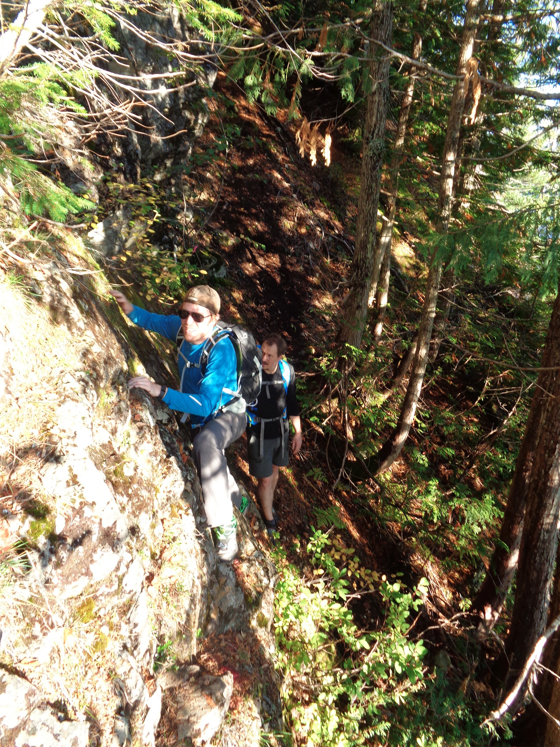
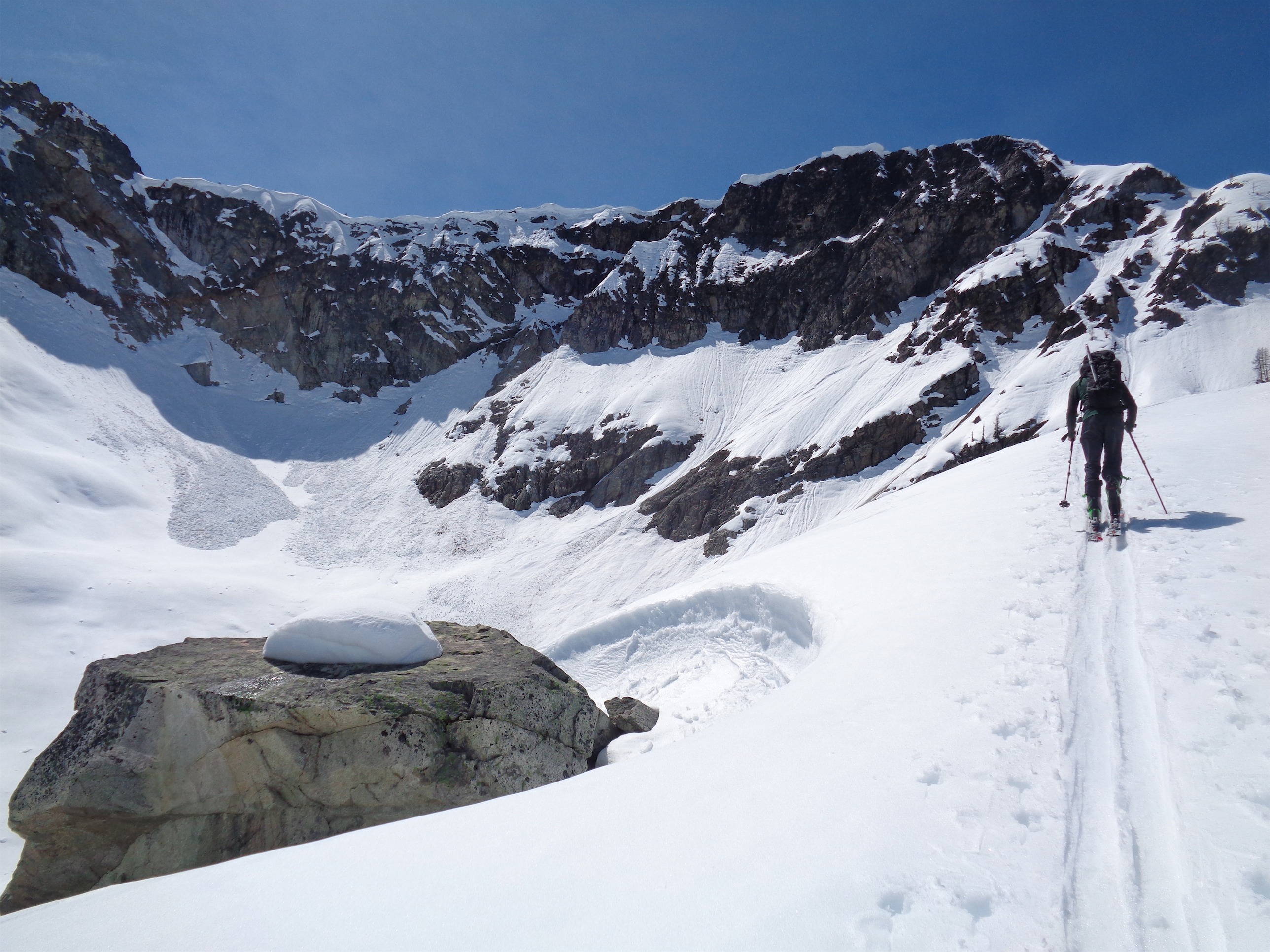
What reinforced my error was the “why would you even upload this” GPX track I had snagged from a Peakbagger trip report of a winter ascent. The guy is either a masochist or likes to fuck with innocent last minute trip planners. It led us straight to rocky crags above Lake Ann, where we broke trail, scrambled in ski boots, bushwacked through shrubs and trees and slide alder and thanked the sweet baby Jesus for veggie belays, fought postholes and tree wells, and had no idea how the hell whoever made this GPX track had been where the track said they had been. Sam scrambled up a section that he couldn’t downclimb safely, so he had to keep going up. Chelsea and I decided to drop elevation and stay on snow and traverse beneath the crags, seeing as the GPX track gained 800 unnecessary feet of elevation and had to lose all of it getting to Heather Pass (that should have been a red flag). JT took a separate route to try and find Sam up in the crags, and we agreed to meet at Heather Pass. If one team did not make it to Heather Pass, we would meet at the car at 4pm, and if not everyone made that appointment, we’d know to start worrying. Somewhere in the midst of all of the complications, the clouds blew through and the sun came out. I stopped to take a sip of my crystal lite, and instead nearly barfed. It tasted like death. Oh, you haven’t washed this water bottle in like 6 weeks. Could that be why?
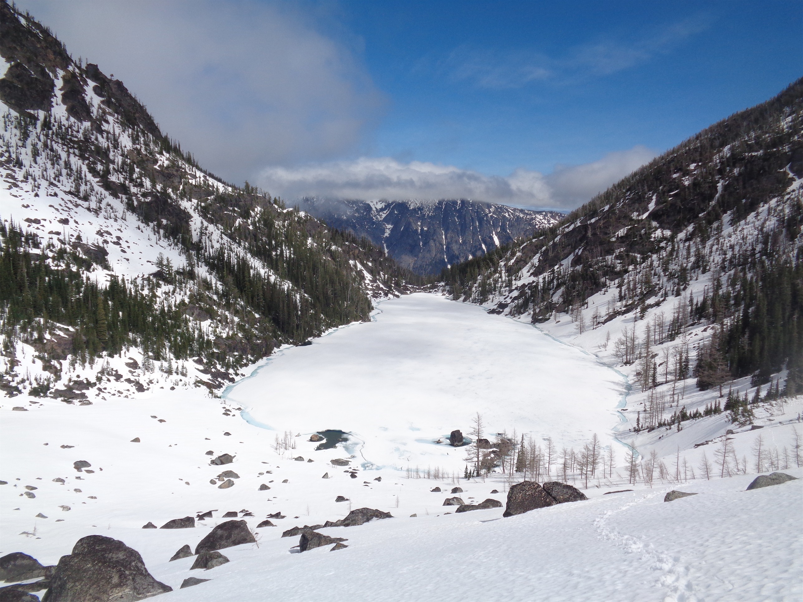
Sam’s pic of Lake Ann as he caught up to me and Chelsea
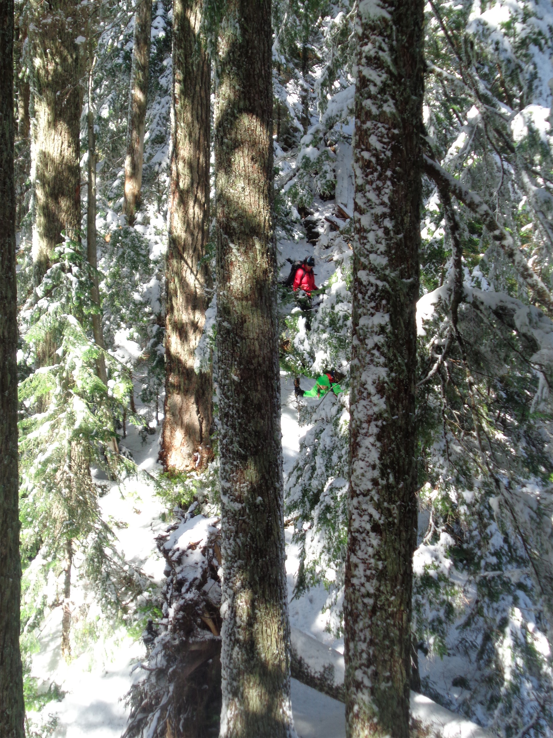
Chelsea and I had a fairly easy time of the snow below, minus some ass deep postholes. I carried my skis and we took turns breaking trail, trying not to lose too much elevation so we’d hopefully pop out right at Heather Pass. We heard JT yelling for Sam, but it stopped before we could figure out what he was saying. Maybe 30 minutes later I hear “EVE!” And I look around wildly, “where are you?!” and it turns out Sam is maybe 200 yards behind us! He had hit a spot where he couldn’t scramble any farther, and had to find a different route down to drop on to the snow, where he followed our prints. We started yelling for JT, who we saw above us on the rocks, still scrambling along with skis on his back. There was an obvious easy gully for him to scramble down to meet us, so we kept walking, assuming he’d catch up quickly.

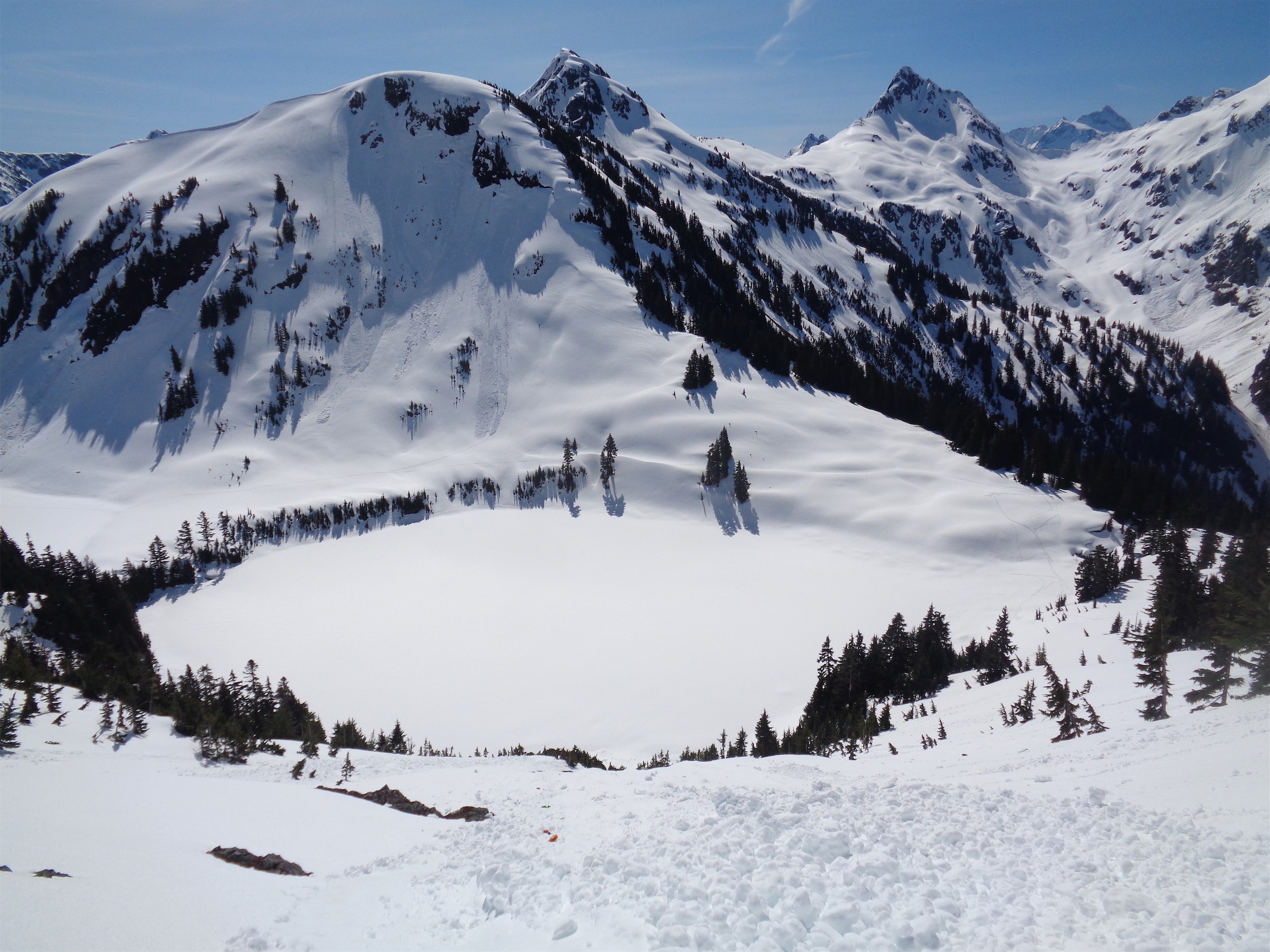
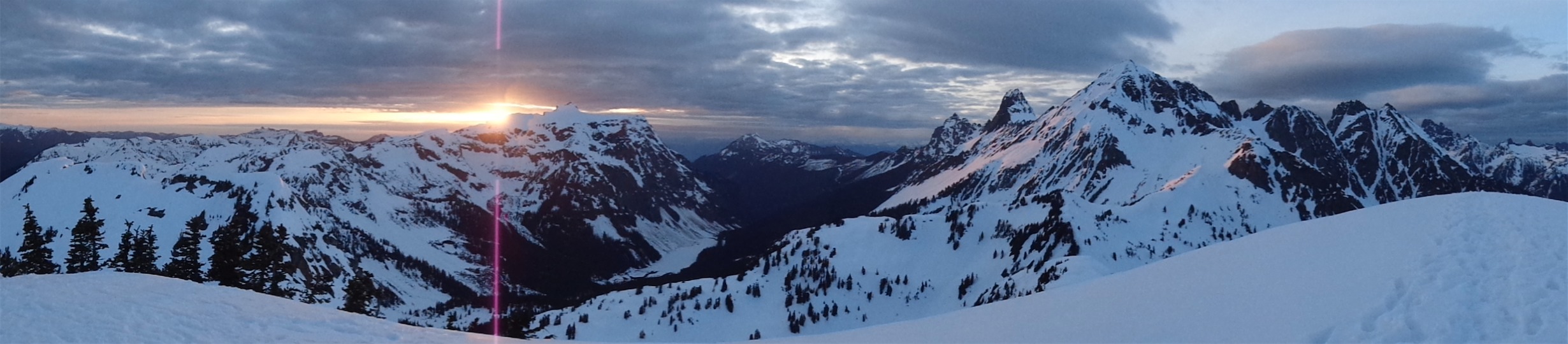
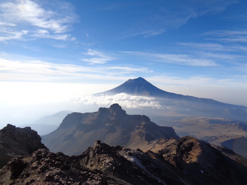
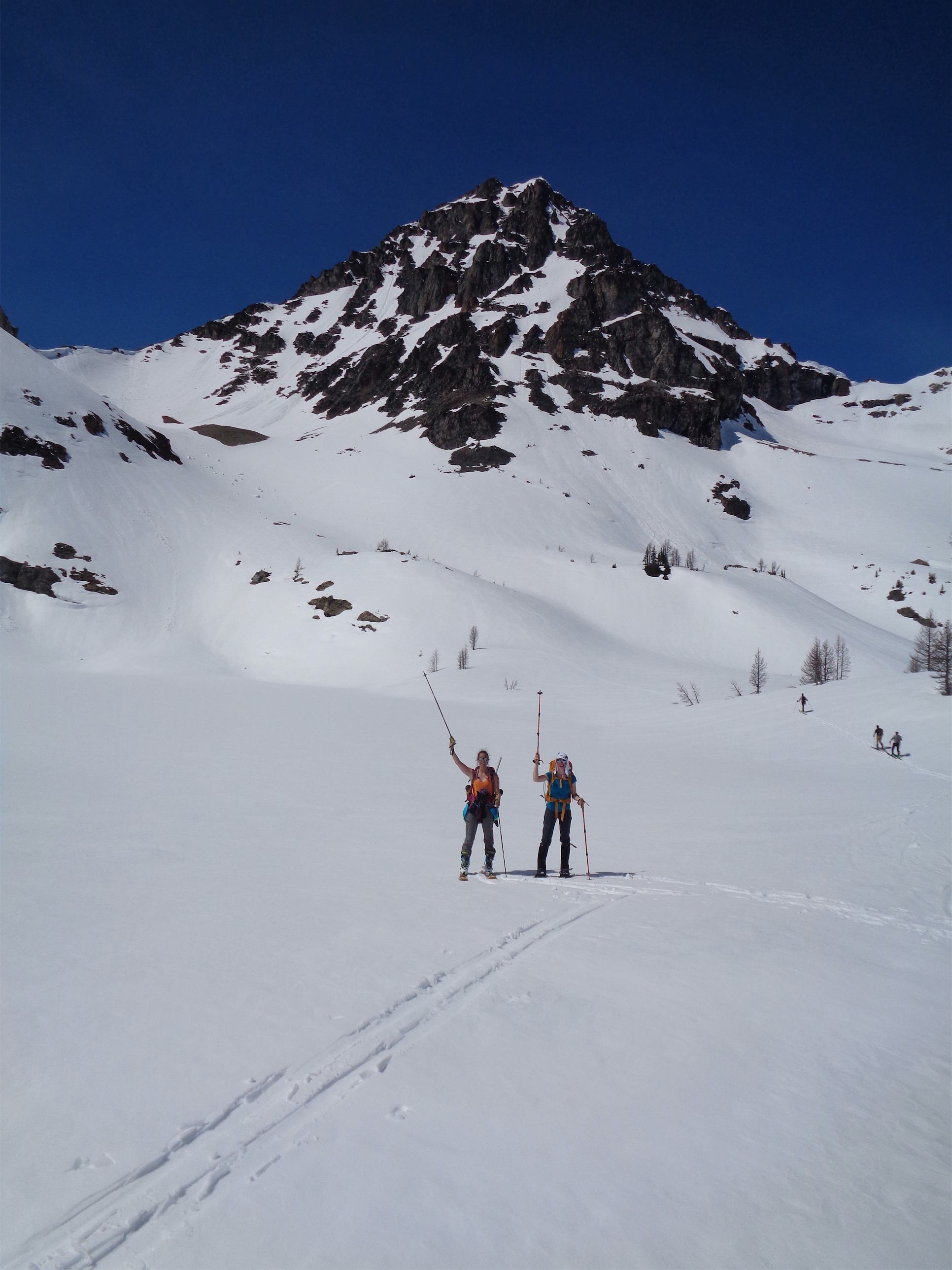
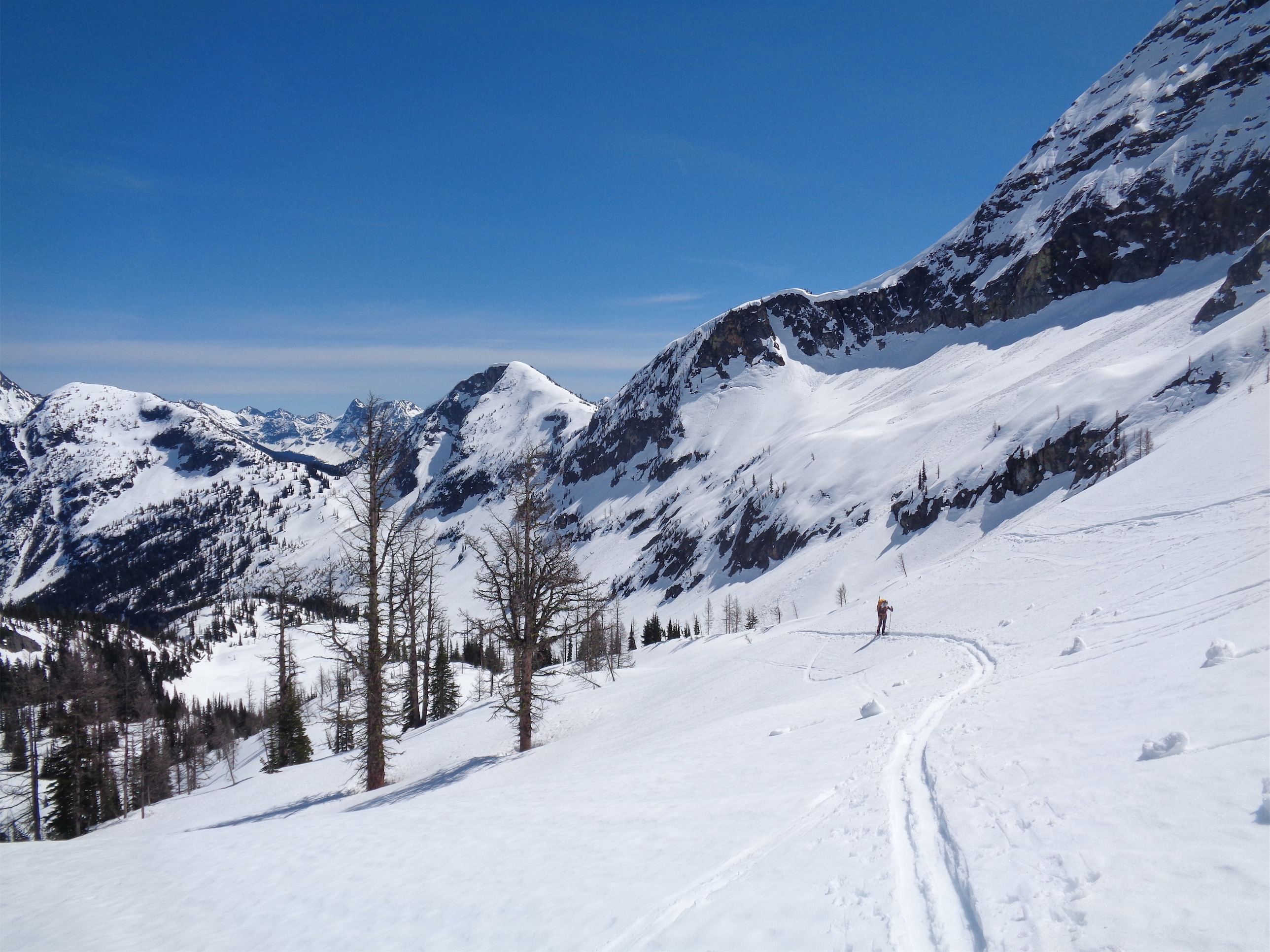
Black Peak from Heather Pass
Well apparently the gulley wasn’t as obvious from JT’s perspective. He did not catch up, and we reached Heather Pass and deliberated how long to wait before we should go look for him. Sam and I skinned back towards the rocks to see if we could shout and hear him, and after 15 minutes of looking I finally heard a response. “JT!” “Hey!” “JT?!?” “What’s up!” “YAY!” I couldn’t see him, but he was just below me somewhere and that meant he was off the rocks and close to Heather Pass. I went back to where Chelsea was resting and had a snack while we waited.
Chelsea coming up from Lewis Lake, Heather Pass is the saddle on the left behind the tree
And waited, and waited. Finally JT came popping around the trees, and we told him to stay there and we’d come to him. Which I think he appreciated, because he immediately flopped on the ground and took off his skis. After a quick bite to eat, he was ready to go on. Chelsea decided she was ready to turn around, but we all said fuck that and started off towards Black Peak.
JT skinning past a cool boulder
It turns out I’m not as terrible at skiing as I thought. For the first time, I was carrying a day pack, maybe 20lbs tops. Probably more like 15. And it was a blast! I was excited for every downhill rather than dreading it. I had no trouble balancing or turning, and my quads weren’t on fire every 50ft like they are going downhill with an overnight pack stuffed with a rope and screws and all that junk. Suddenly speed was fun and exciting and more like flying and less like “oh god I’m gonna crash with this heavy ass pack and not be able to sit up and I’ll have to take it off and untangle myself from pack and skis and PIZZA and why do I do this PIZZA EVE MAKE A BIGGER PIZZA OH no oh NO fuck.”
Sam and Chelsea trudging along
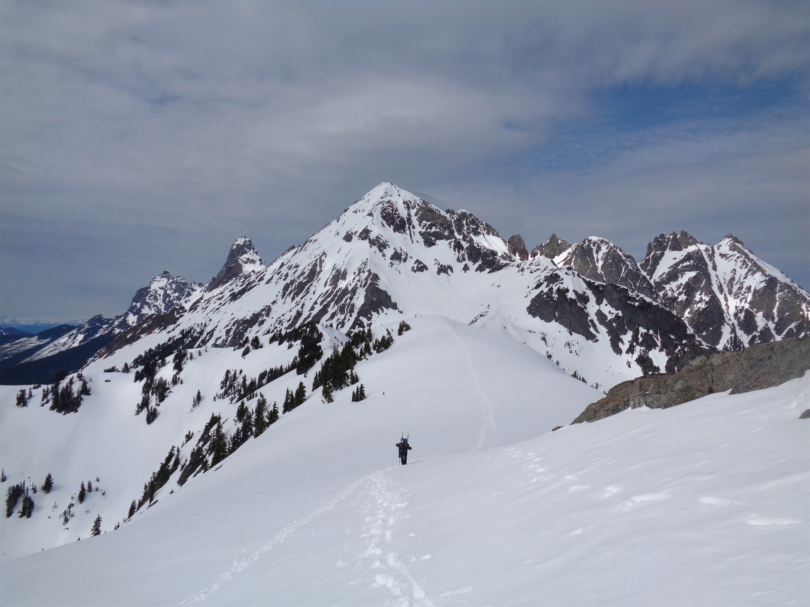
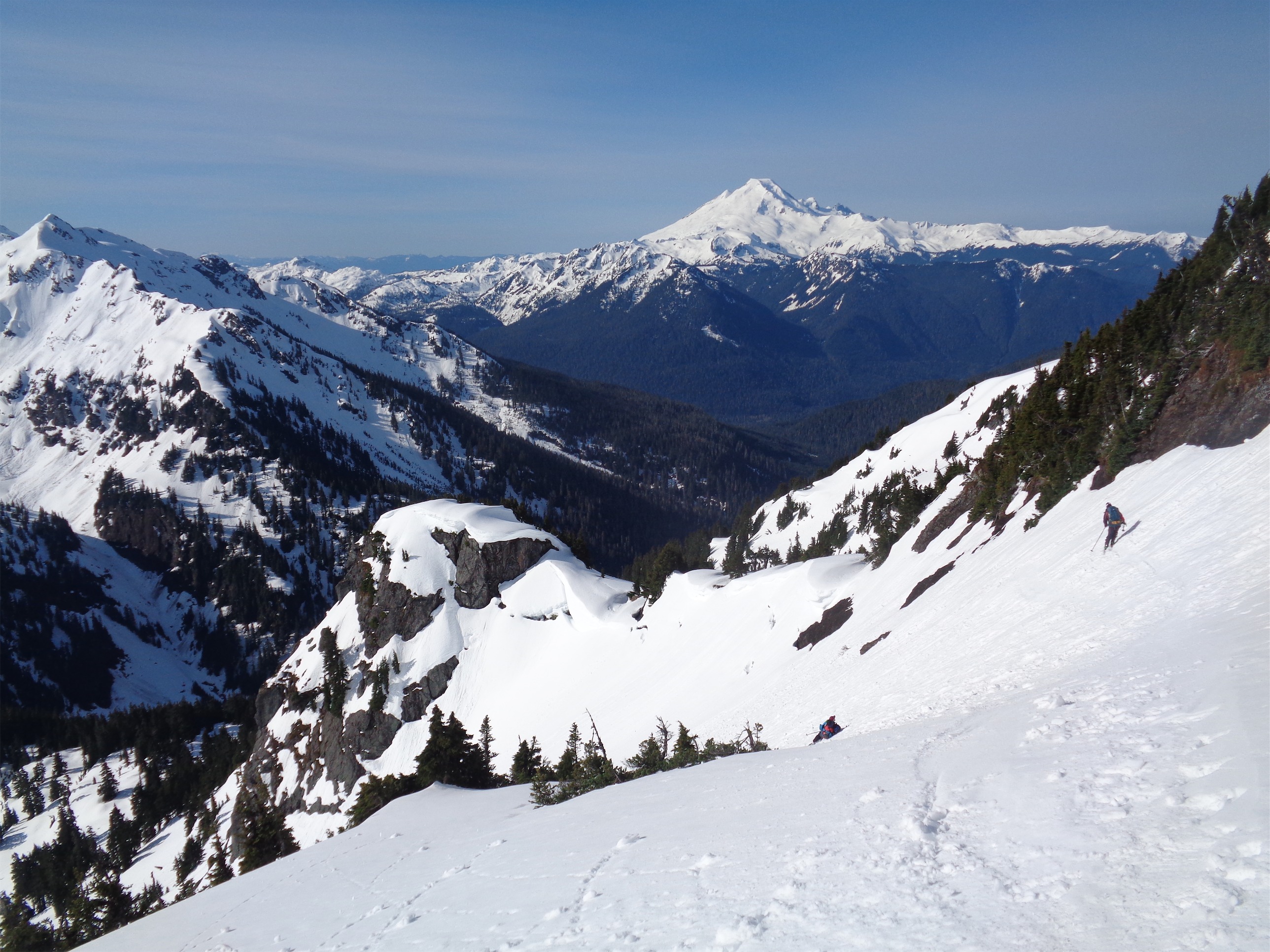
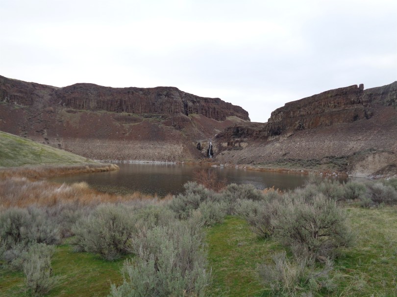
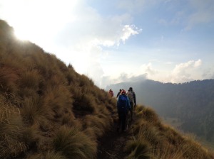
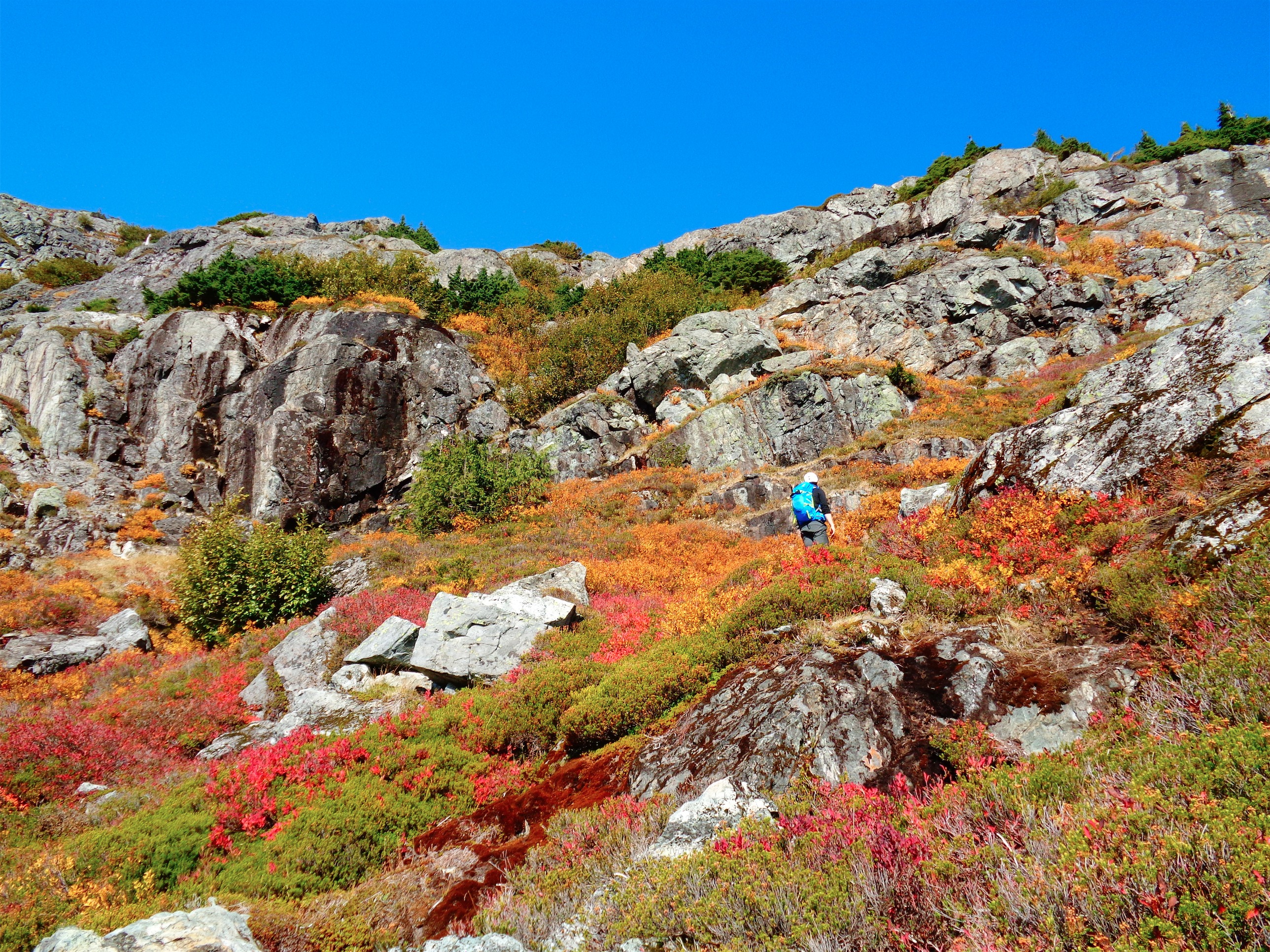
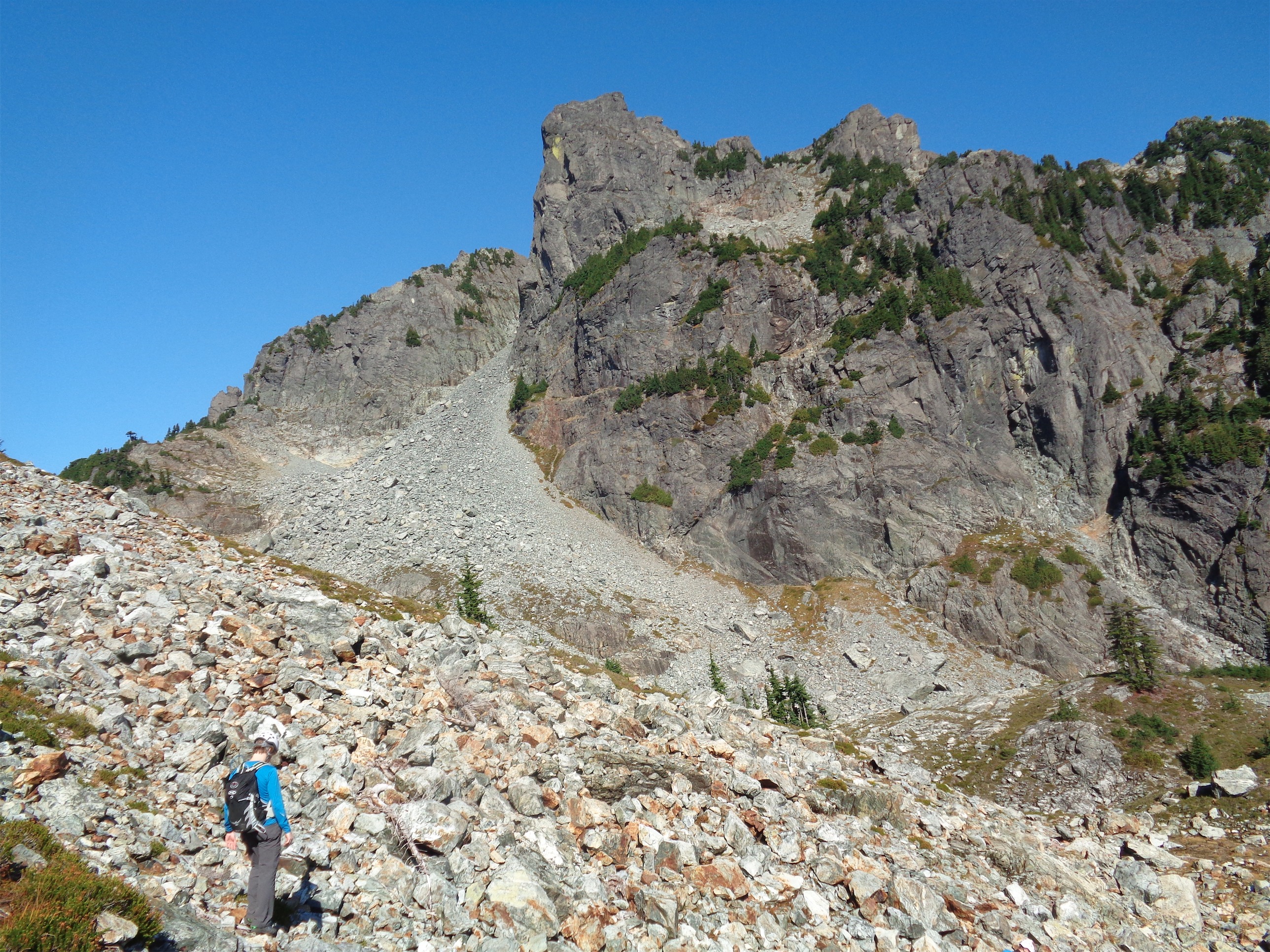
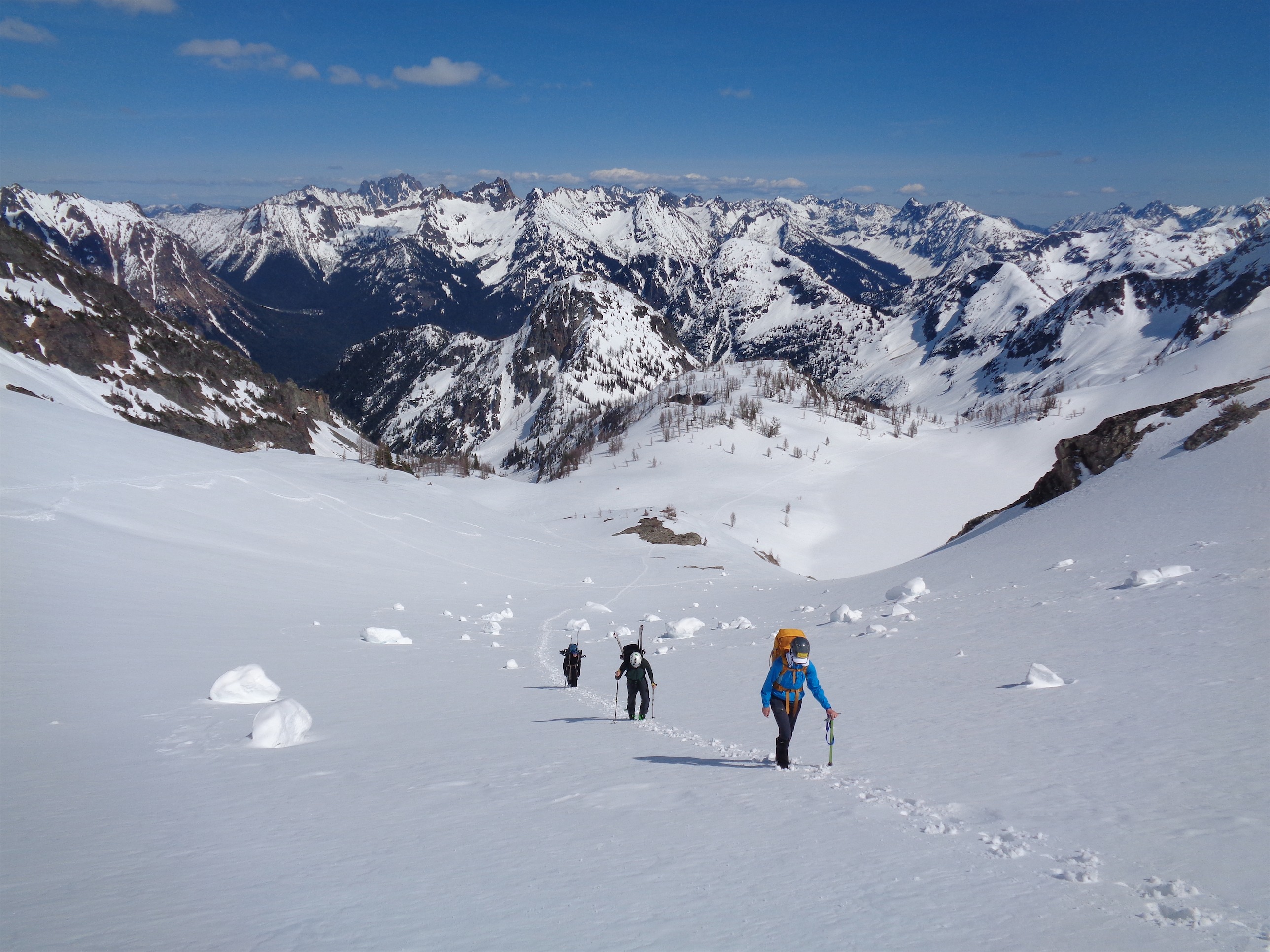
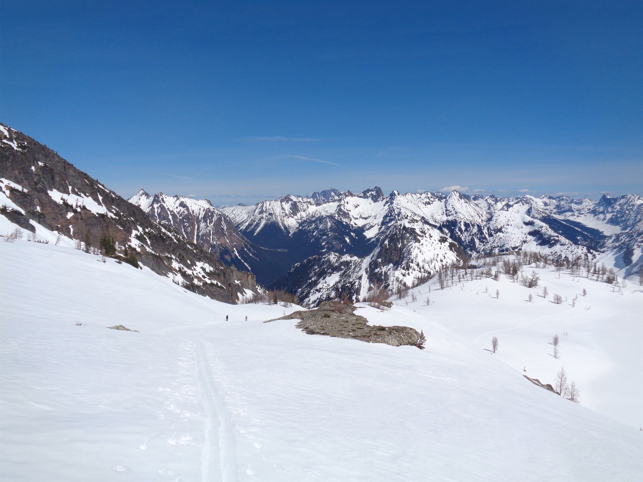
Chelsea was on snowshoes, but she was still ahead of Sam, who has the crappiest skins known to man. They kept falling off, they didn’t grip anything, it looked brutal. We took a few short breaks for sunscreen, snacks, and letting everyone catch up. My camera miraculously started again near Lewis Lake, so the photo saga continues! The terrain was a perfectly mellow mix of up and down and rolling hills (it’s all a boulder field in summer, far more enjoyable covered in snow) from Heather Pass to Lewis Lake and on to Wing Lake. Between the pass and Lewis Lake there are some very steep avvy slopes to your left which had strewn old debris all over our path, which almost had Chelsea bailing for the second time. She made a very good point that when you’re new, you’re 100% trusting whatever the people you’re with say, and it’s scary not knowing anything. But we were out of avvy terrain by Lewis Lake. I do wish the two lakes had been a little more melted out, since their colors are part of what make the approach to Black Peak so cool. I have a few pictures from my last trip (not blogged) that I will add so you can see how it looks in summer.
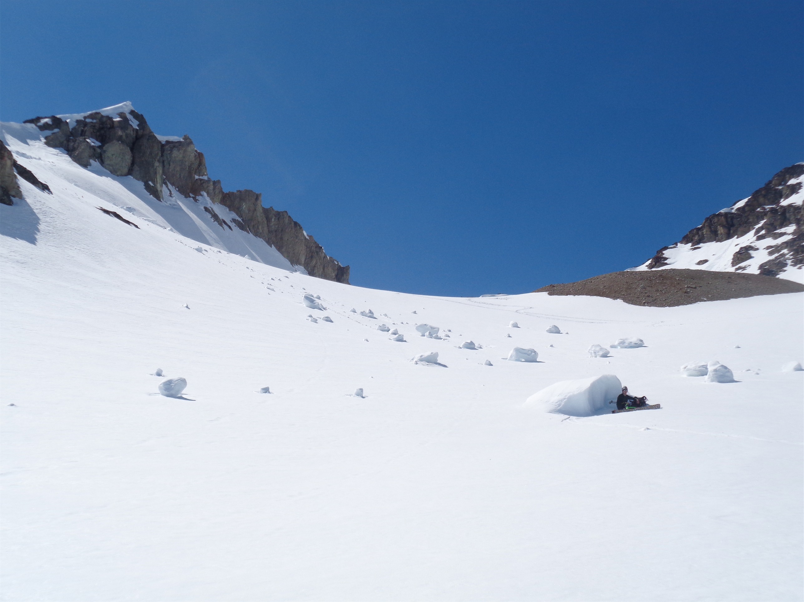
JT rests in the shade beneath a snow boulder
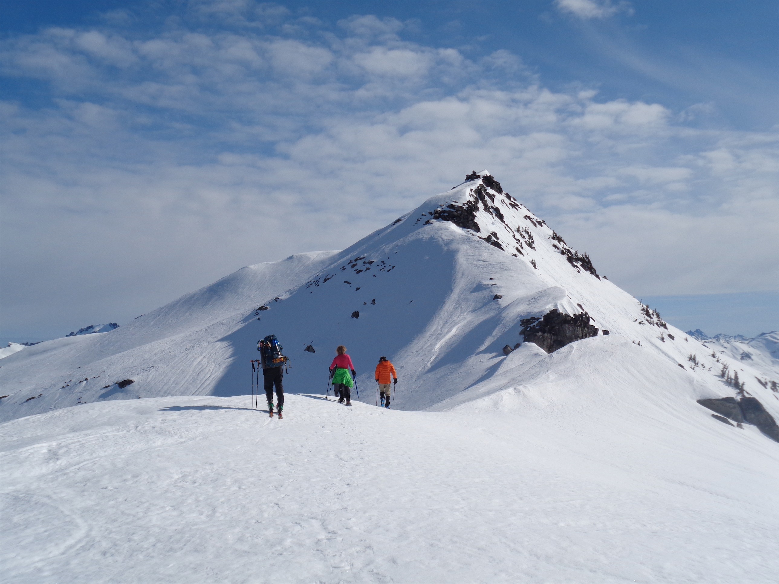
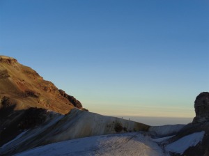
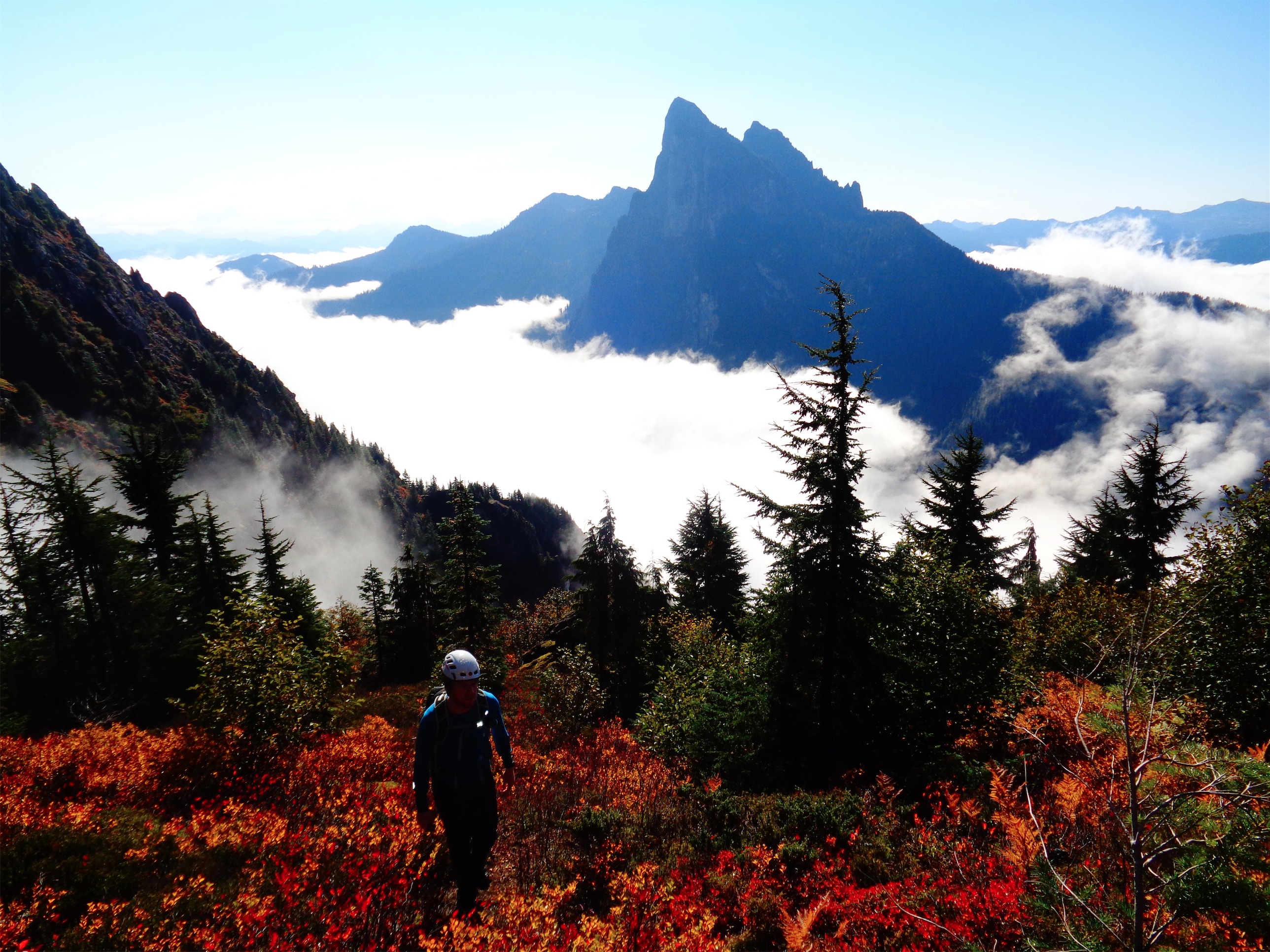
Almost at the ridge
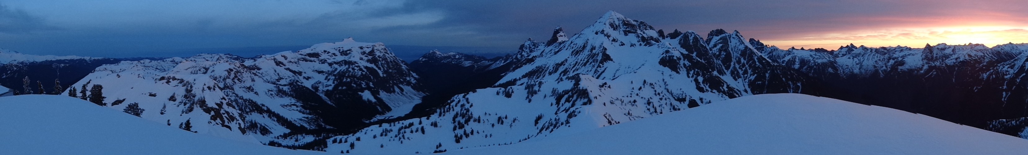
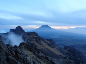
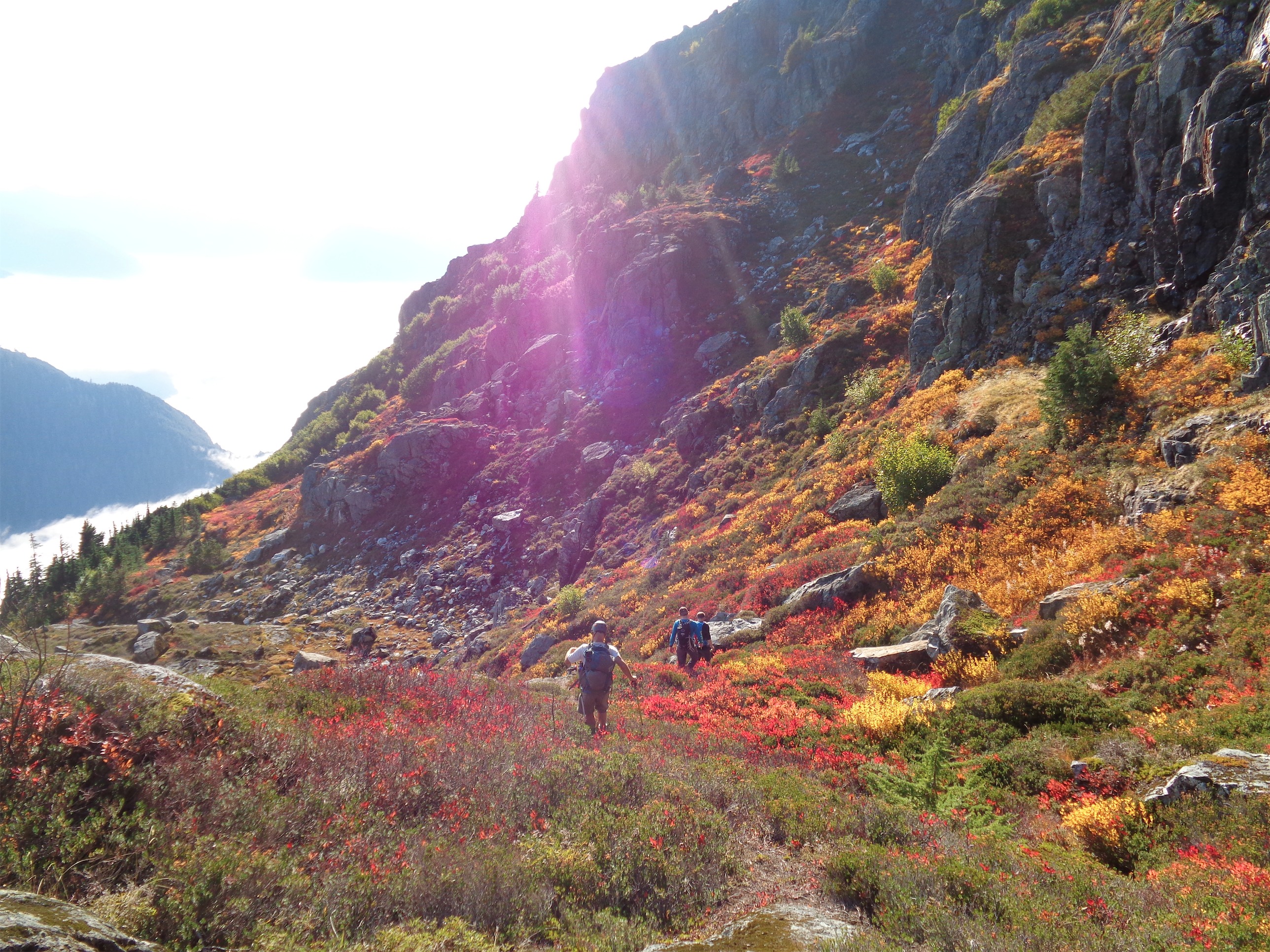
We continued above Wing Lake, and JT chose a shady patch beneath a snow boulder to wait for Sam and Chelsea. Chelsea looked like she was about to stop at the rocks below. “Chelsea! No!” I yelled. “What?” “KEEP COMING!” “No, I think I’m going to stop and wait here… my ankle hurts, it’s steep snow, I don’t know…” JT and I started yelling jokes and encouragement. “That’s what ibuprofen is for!” “Army candy!” “At least come up to us and see the views from here!” You can’t stay at Wing Lake. The views get better and better as you go up. Heather Pass is pleasant, but then you get to Lewis Lake and it’s better. And the you get to Wing Lake and it’s pretty. And then you start stomping up to the ridge, and it goes from pretty to awesome to breathtaking to fucking unreal and it’s like a panorama from some IMAX movie except you ARE the center. And we figured if we got Chelsea up to us, we’d be able to convince her to keep going at least to the ridge. We’re good at dragging people along.
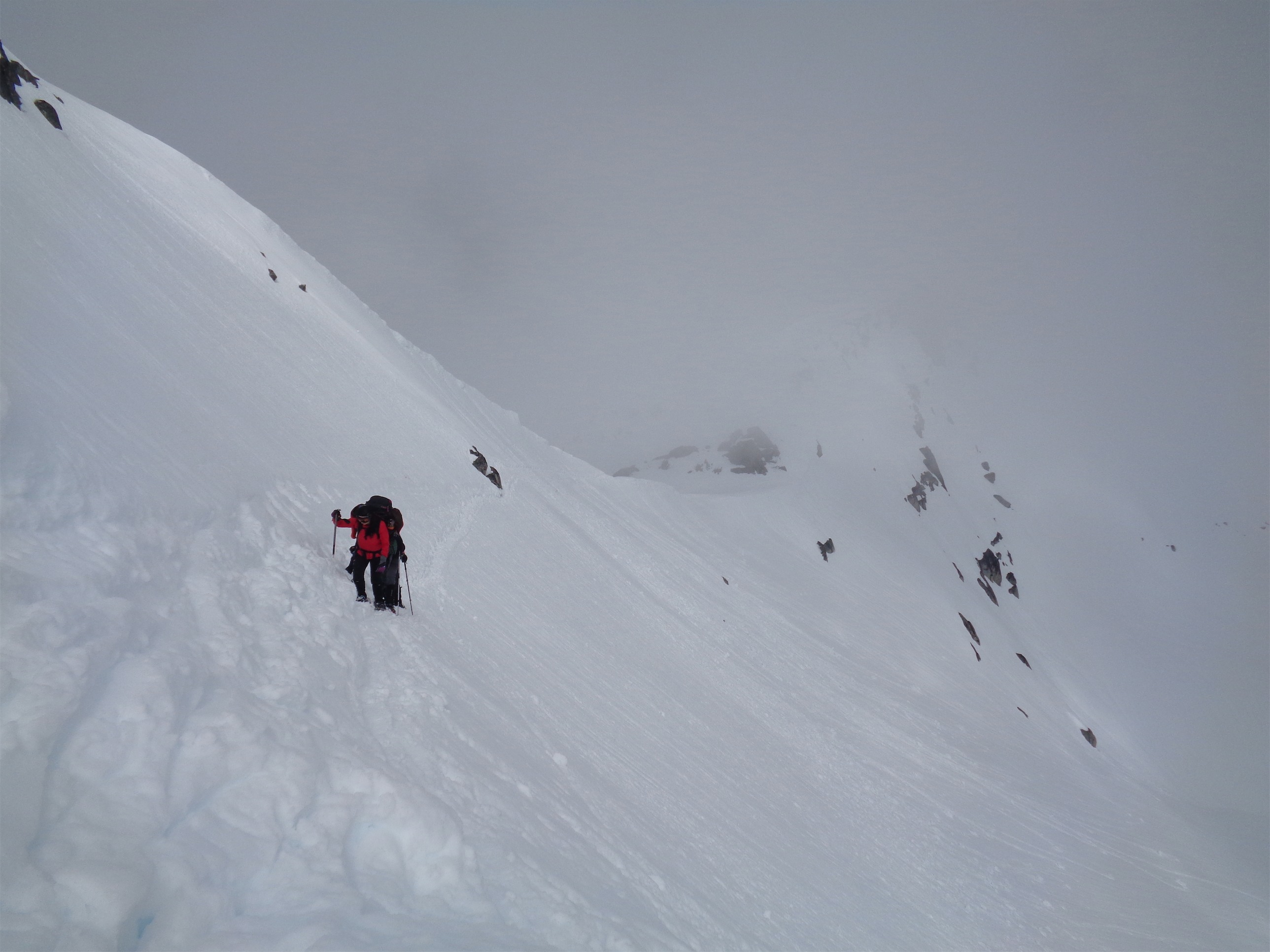
Chelsea on the last few steps
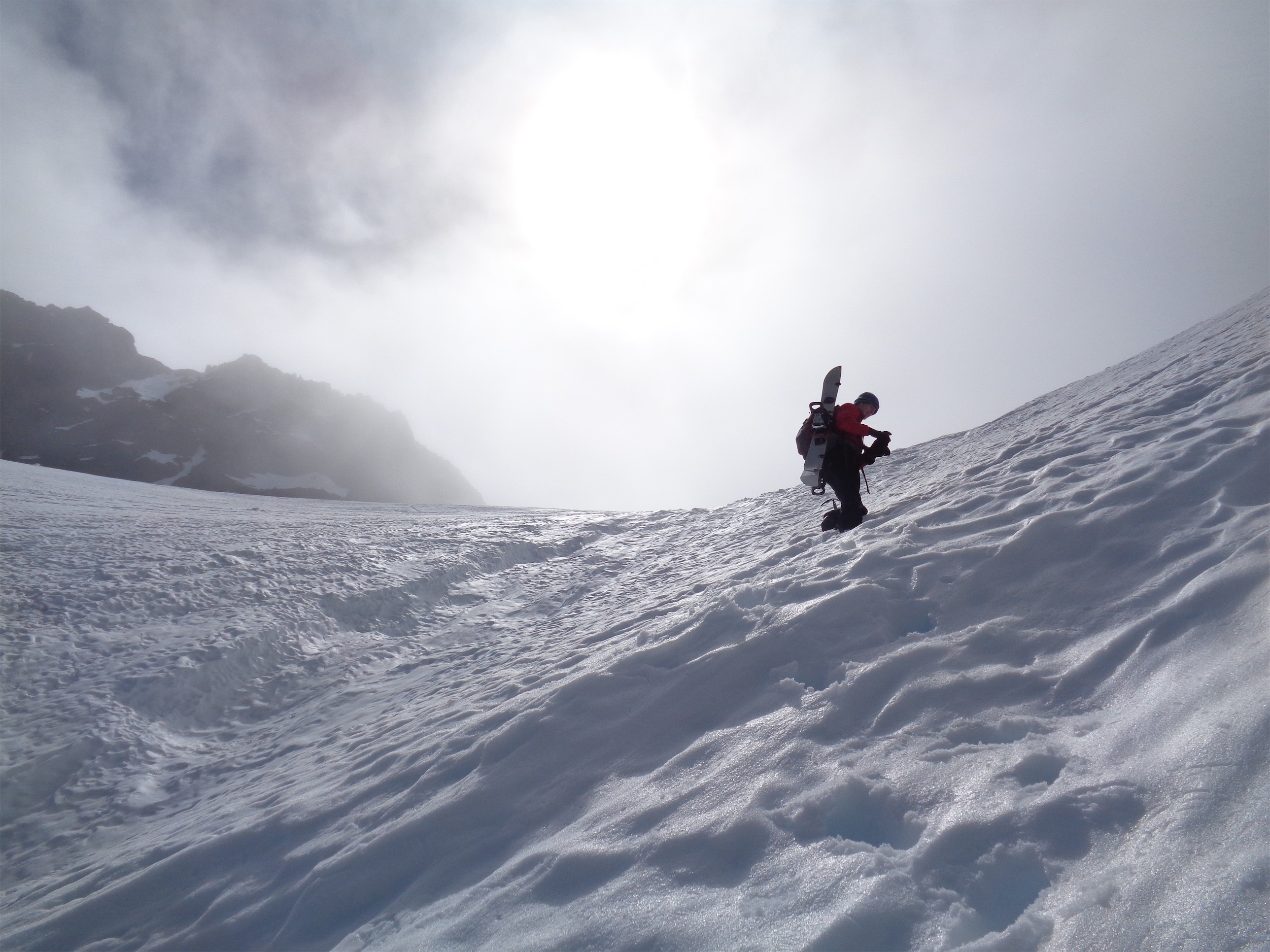
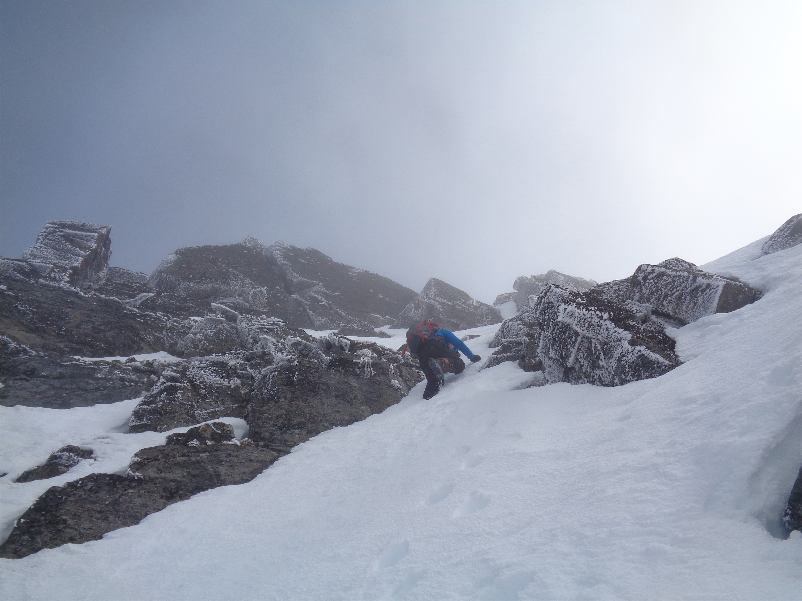
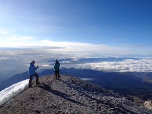
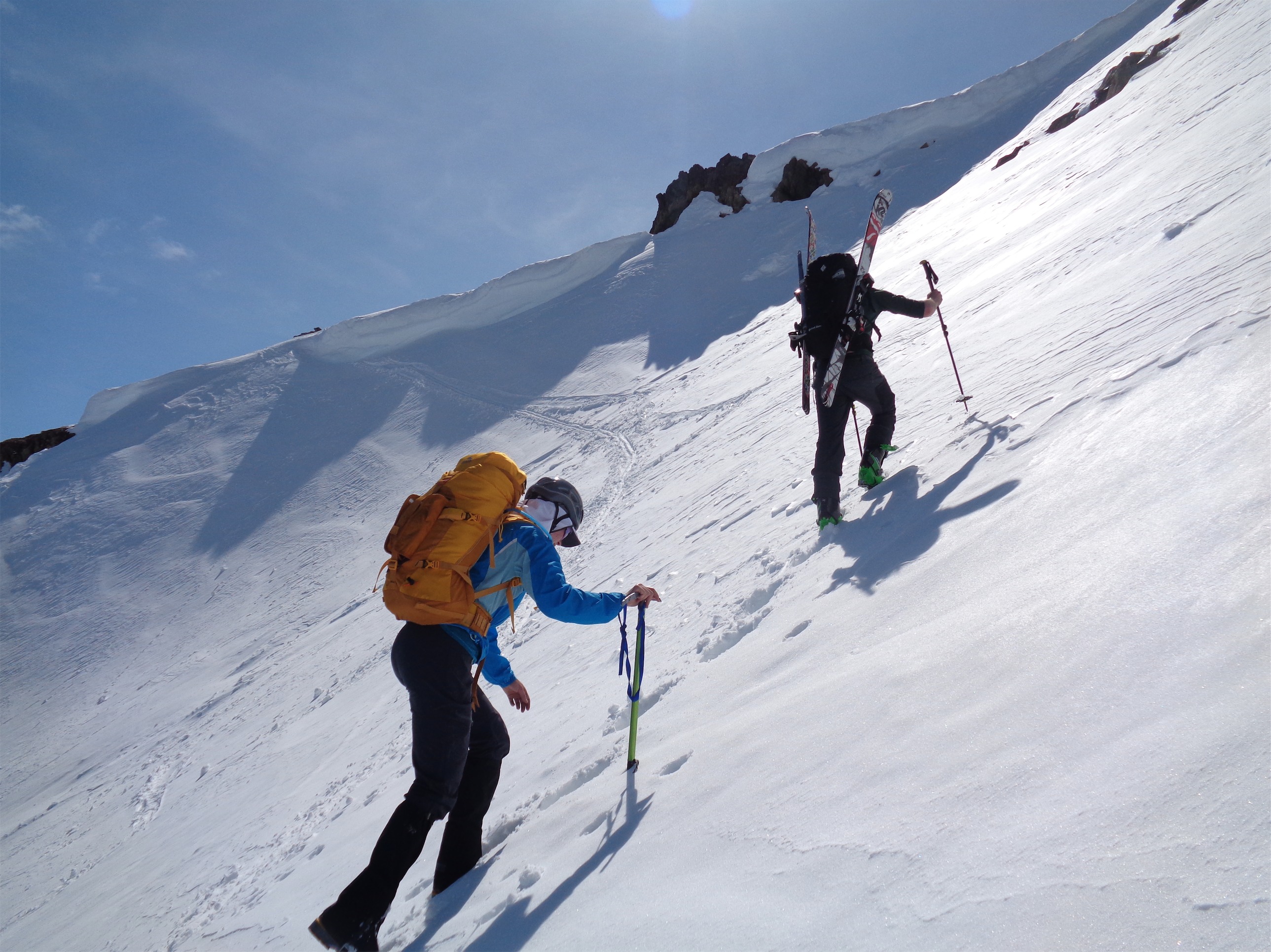
We agreed to all boot up to the ridge, though it could have been skinned. Sam and JT carried skis and snowboard, I left the skis below figuring I’d keep Chelsea company so she wasn’t booting down alone watching us all play in the distance. Plus, I could not have skiied the top 30ish feet. JT broke trail most of the way, including a very steep step over a cornice (we avoided the badly overhanging parts). Chelsea followed (“I can’t tell what he did with his feet!” so many of his steps had collapsed as he burrowed up), I scurried over it next, and Sam brought up the rear. We took a quick break. There had been two groups in front of us, one solo skier who stopped at the ridge, and three skiiers who blew by us on the way up, but also appeared to have stopped at the ridge.
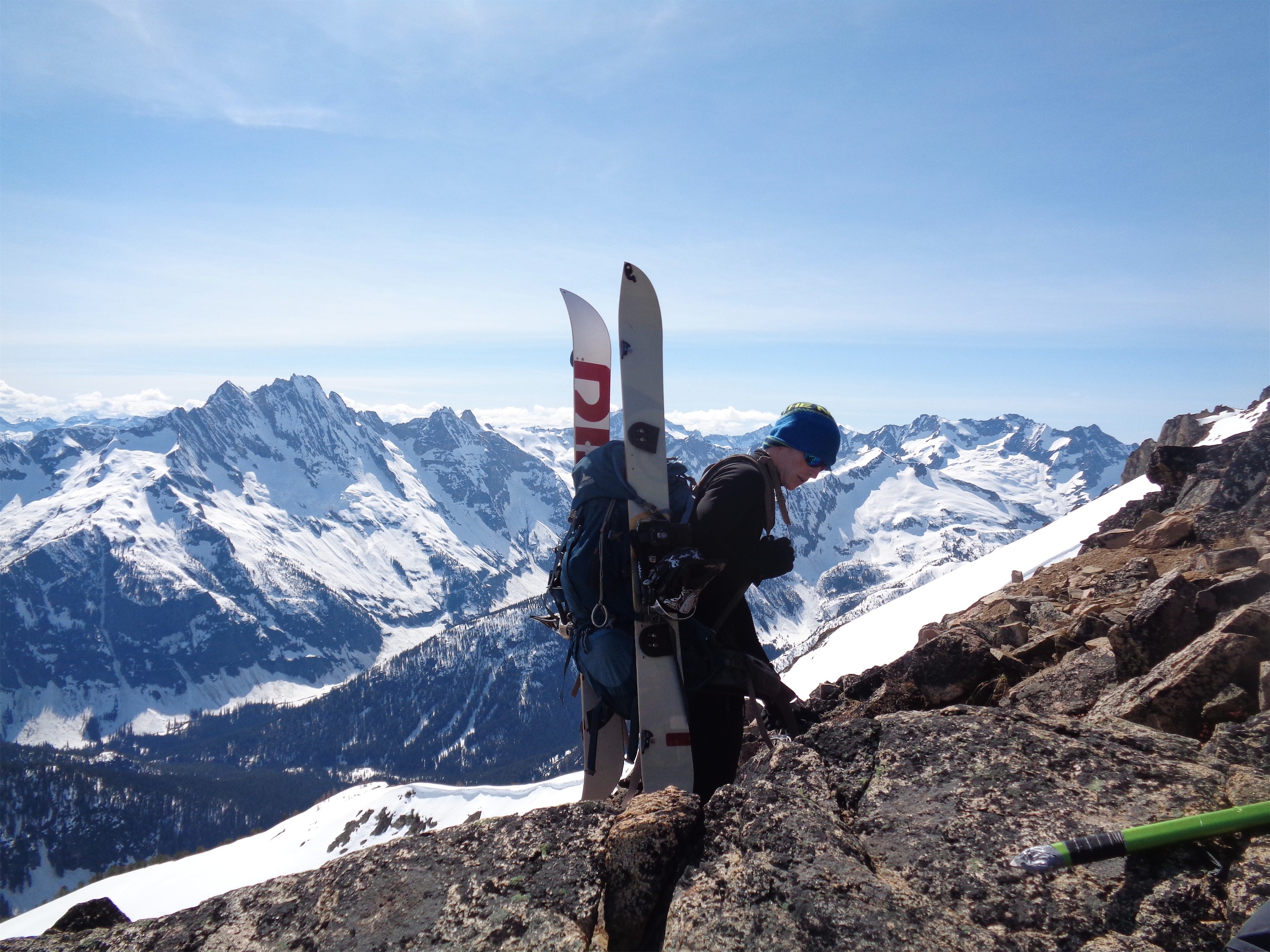
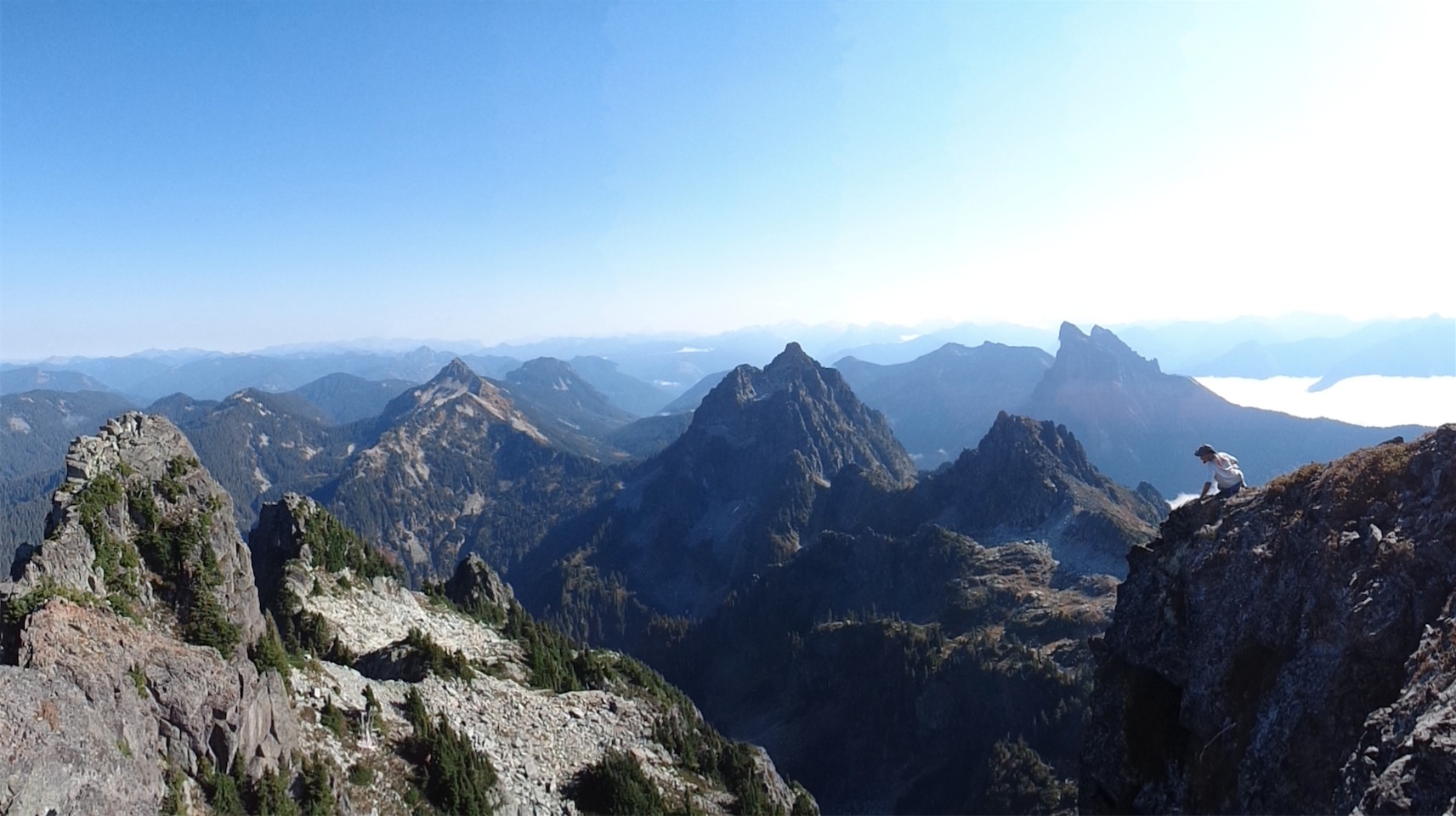
Sam on the ridge with Goode in the background
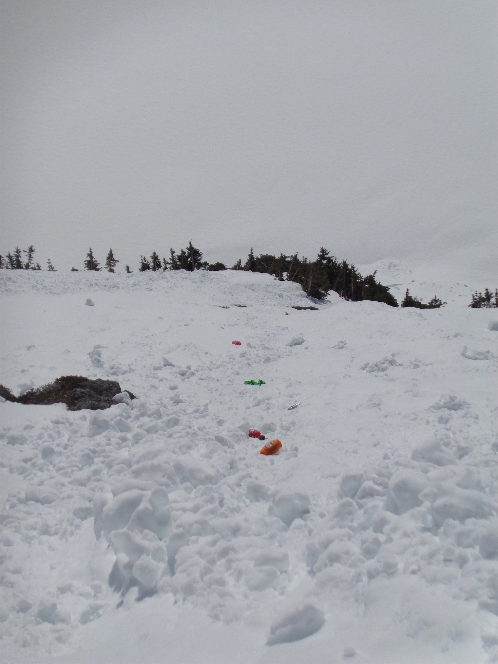
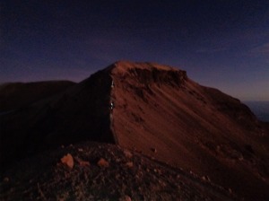
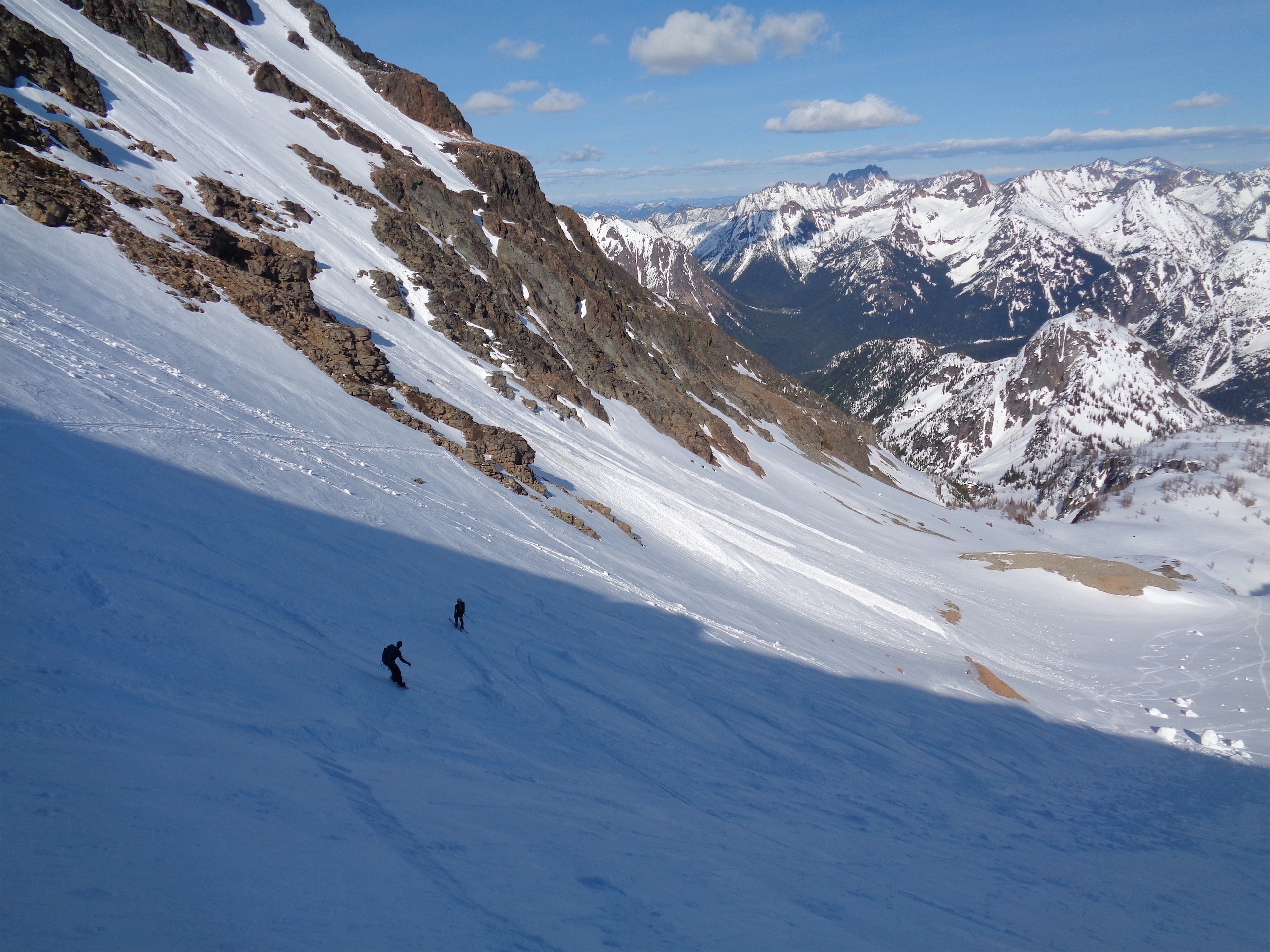
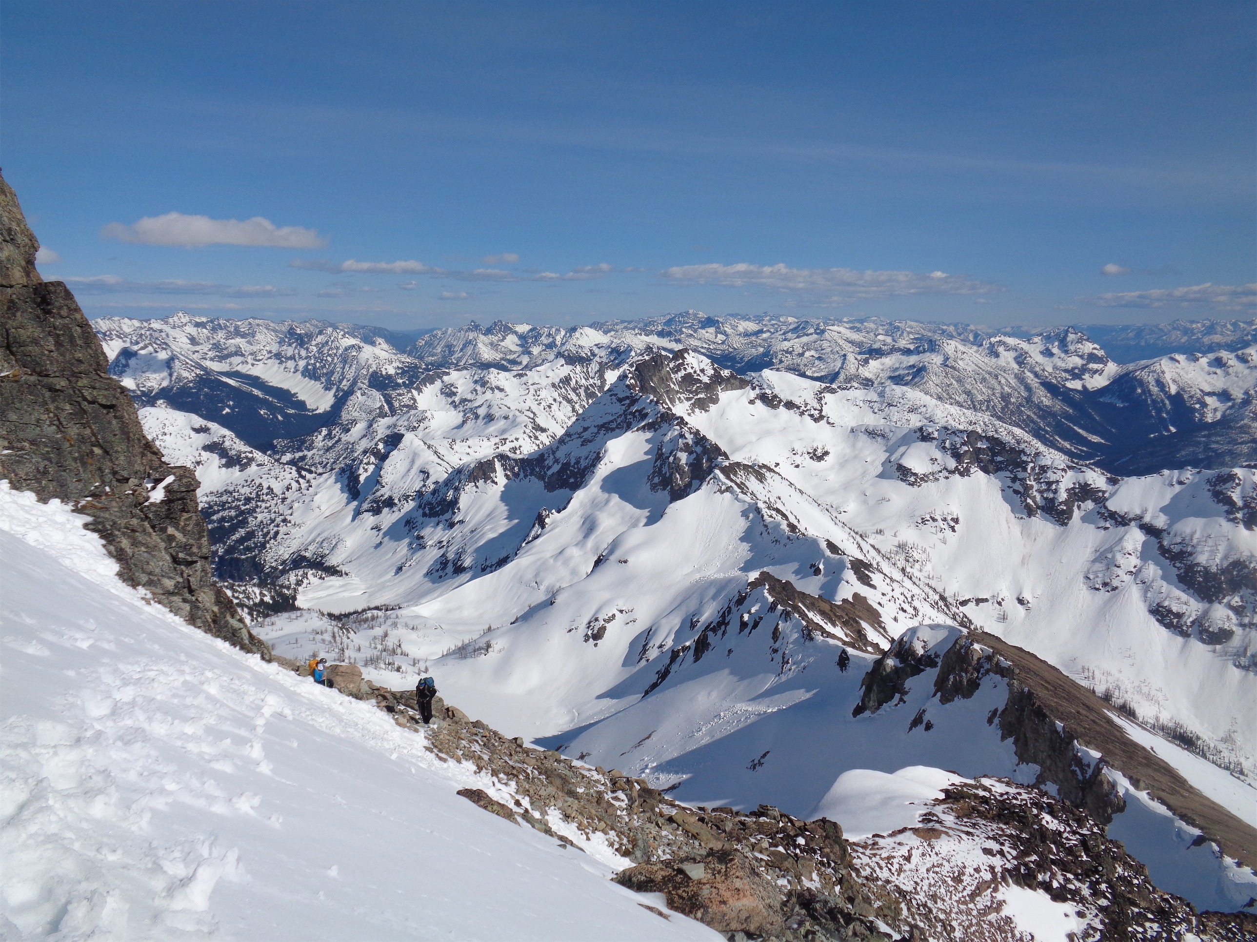
We scrambled up the ridge with Chelsea leading the charge until we were forced to drop into a gully to the left. Now I got stumped by this last summer as someone had told me to NOT to take the first gully, and it took me a few tries to realize that the first gully is, in fact the correct gully, just to the left of the ridge. But there were footprints leading over to the second gully. Who do we trust?? Is it the gully I think it is, or is it the one where the footprints go? The second gully had recently had a small slab avalanche, so that was unappealing, and meant the first gully might be about ready to go as well. JT and I went to go investigate and see which looked like a safer, easier option.
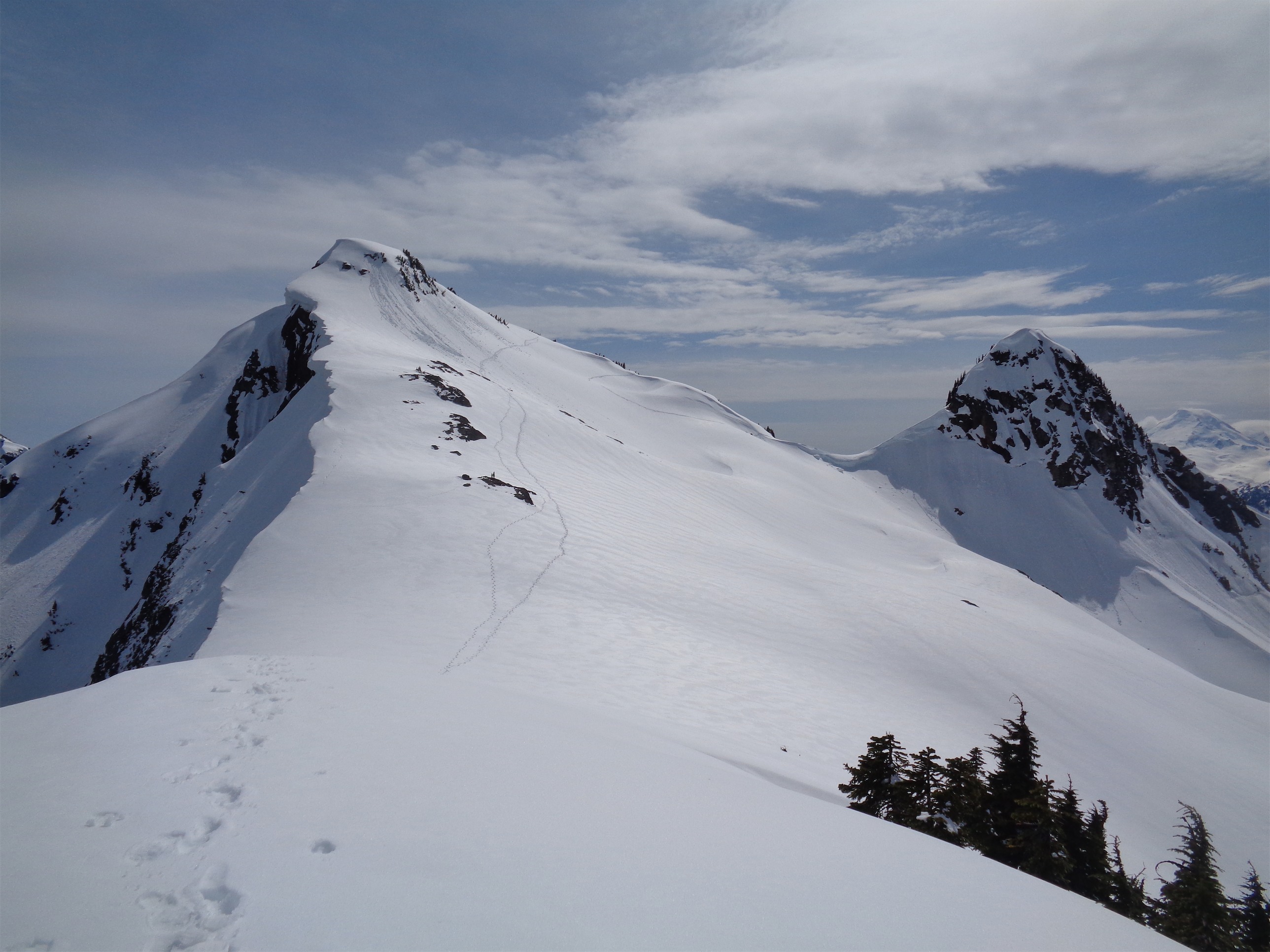
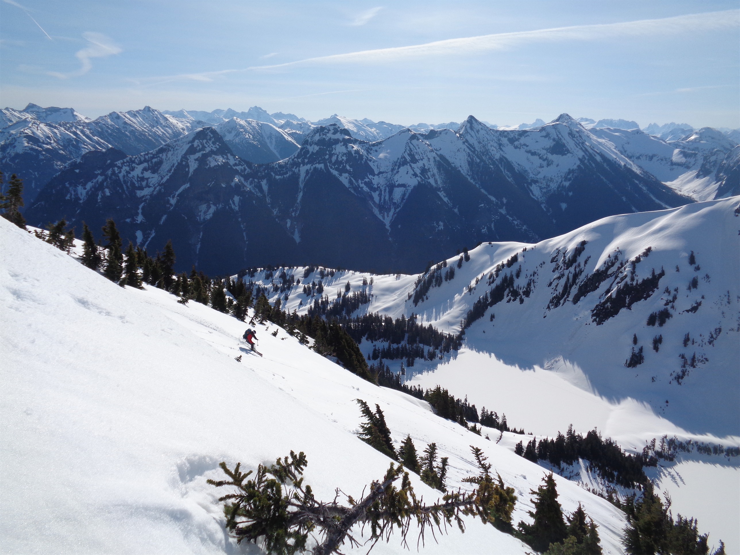
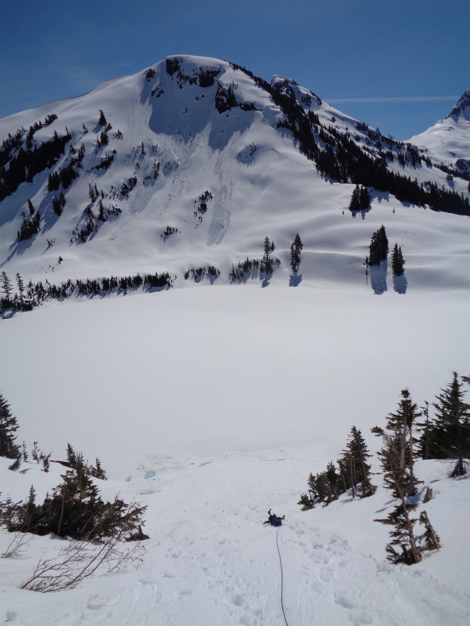
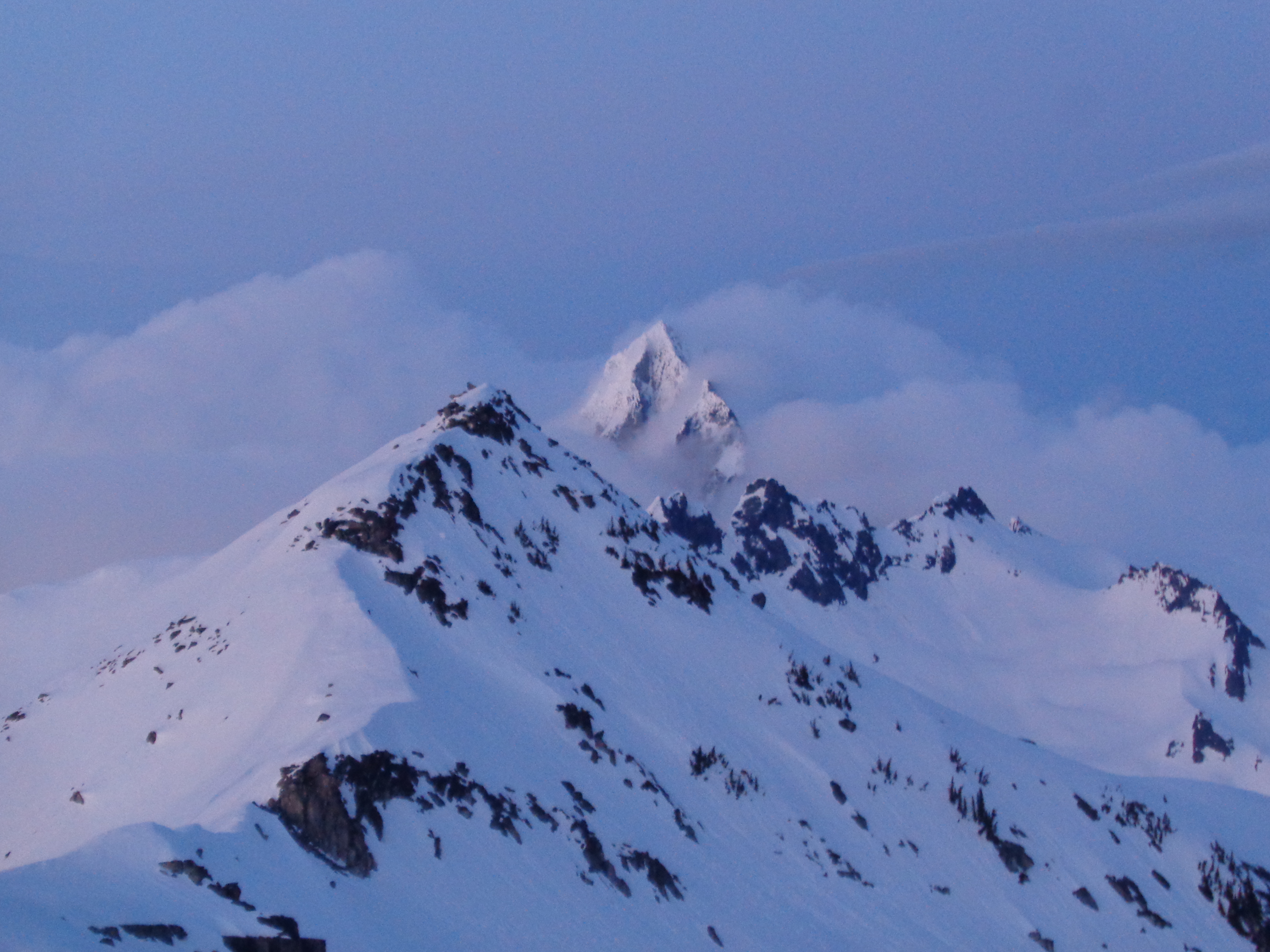
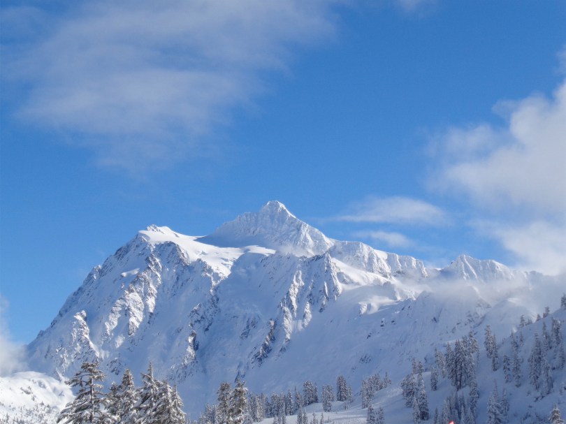
April 2016

July 2015

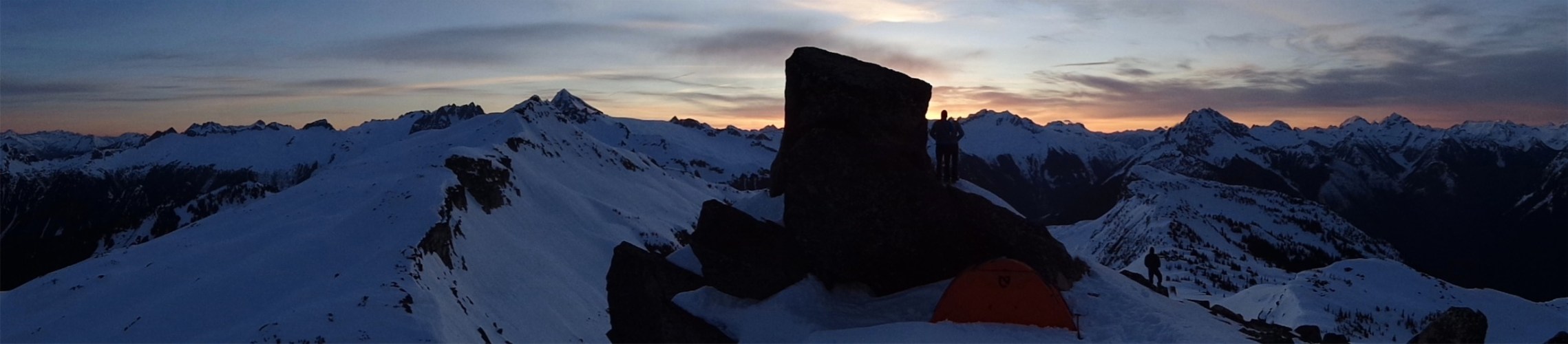
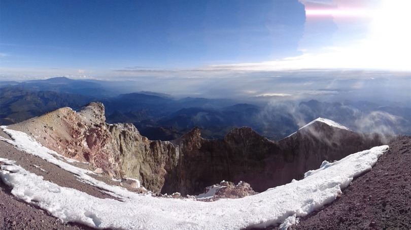
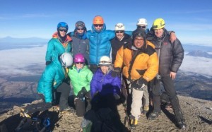
Finally!
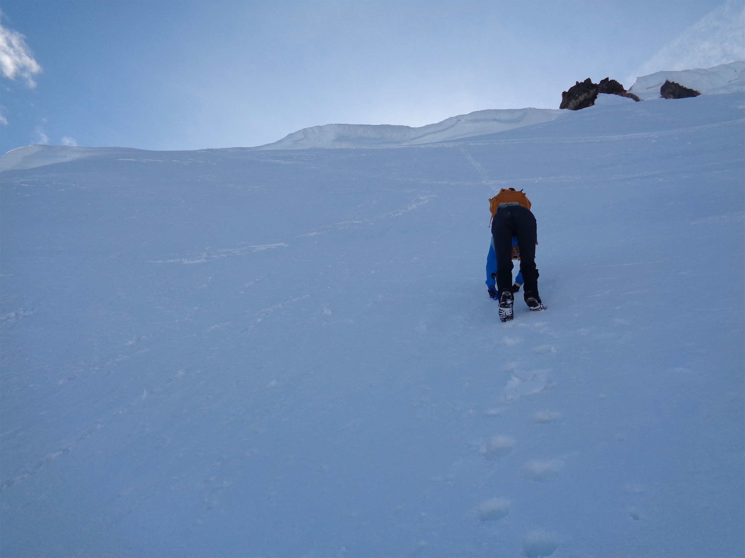
Turns out it didn’t matter. Sam shouted up to us that it was getting late. It was almost 4:30 and that was past our turnaround time. I had no idea it was that late. I hadn’t been checking, the sun was high in the sky, I was feeling great, spirits were high. We knew we’d be much faster on the way down since we knew skiing down to Lake Ann and following tracks back would be much better than retracing our “adventure route.” Sam offered to just chill and wait for us if we wanted to keep going. We had discussed coming down in the dark earlier that day, but for Sam to call turnaround he must be pretty done, and Chelsea had already pushed through several instances of “I’m going to turn around” and I wasn’t sure how many she had left, plus I wanted everyone to be sharp for those first few steps off the ridge. JT and I agreed that if one person turned around here, we’d all turn around, and so we started the trek down.
Chelsea coming down the staircase
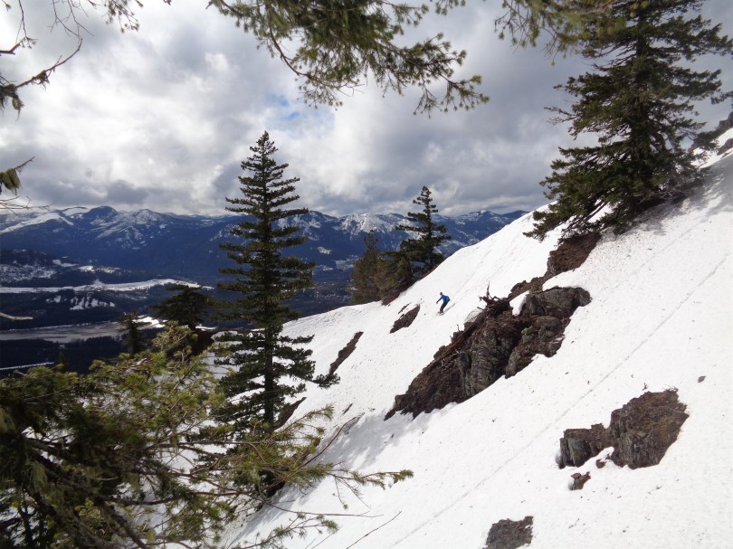
Back at the saddle, I started downclimbing with Chelsea. This was Chelsea’s first “real mountaineering” trip (depending on your definition of mountaineering) and some of that snow was steep. Steep, and very crusty. Steep enough that if here had been a crappy runout below us, I would have offered to belay her the first 30ft or so. But there was just snow, and so I turned to face the slope and kicked steps into the crust so she’d have a staircase to take one step at a time. I stopped at one point to get pics of Sam and JT coming down on their skis and snowboard while I still had cool views. Sam passed me with maybe 3ft between us, resulting in an awesome picture. Once the slope mellowed out and was a bit softer from the afternoon sun, I turned around and started plunge stepping.
On the way down just above Wing Lake
And here comes the snowshoer
We met JT back at the snow boulder were I switched back to skis and Chelsea strapped on her snowshoes. Sam was ahead of us, knowing as soon as he was back on his miserable skins we’d all catch up. I finally got to click into my skis and enjoy the next 30 minutes or so of mellow skiing, stopping to wait for Chelsea at the bottom of every slope and laughing at the misery I could only imagine Sam was enduring. At one point Sam stopped and seemingly stared into space. “I think he just hit that point,” JT said. I was there a few weeks ago on Winchester at 3am (though I think we all were). I chucked, thinking of our train of misery. Well, I was doing fine. I think JT was too. Sam was cursing the world for his skins, and Chelsea was patting down steps in the side of the slope with her poles so she could take snowshoe more easily. Finally Sam gave up and strapped the splitboard to his pack, and Chelsea’s face lit up as she slowly realized she could ditch the snowshoes and take turns breaking trail with Sam.
How much fun are we having?! So much!
Okay now show everyone how you really feel
Back at the pass, Sam and JT skied/snowboarded directly to the lake, and I let Chelsea pick the route down. She went for the gradual downhill traverse, until she realized how long it was taking. Luckily we found a direct path to the lake “you’re going to walk across a frozen lake?!? People DO that?!!!” She sounded horrified. Maybe it’s because I grew up skating on ponds every winter of my life. I made sure to get plenty of pictures of her on her first frozen lake crossing.

Chelsea bravely standing on Lake Ann
And of course, there was a nice, well traveled path from the lake back to the trailhead. I don’t think we lost that much time on our adventure route, but it sure as hell would have been easier. And our friend Sammy followed our terrible tracks, though he says he had a similar GPX track so I’m not 100% to blame (sorry Sammy). It was pretty funny looking up at our tracks on the slope while we stood below on the easy trail, laughing at how hilariously off we had been. I should have taken a picture.
We made it back to the cars by dark, and headed back to Seattle. We had all driven separately. JT stopped for food. Chelsea made it home in one push. I nearly nodded off 15 miles from home, but put on some live Avenged Sevenfold and made sure to sing at the top of my lungs. Sam slept in a Winco parking lot somewhere in Everett. Wait, remind me why I like this?

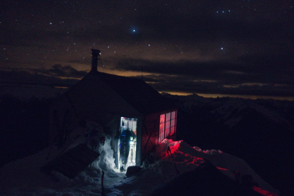
(so I can sit somewhere like this)