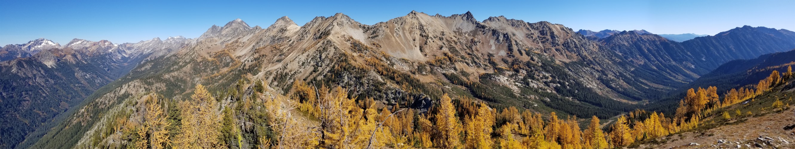
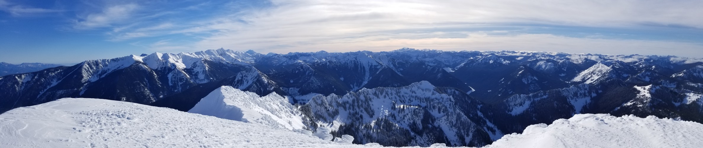
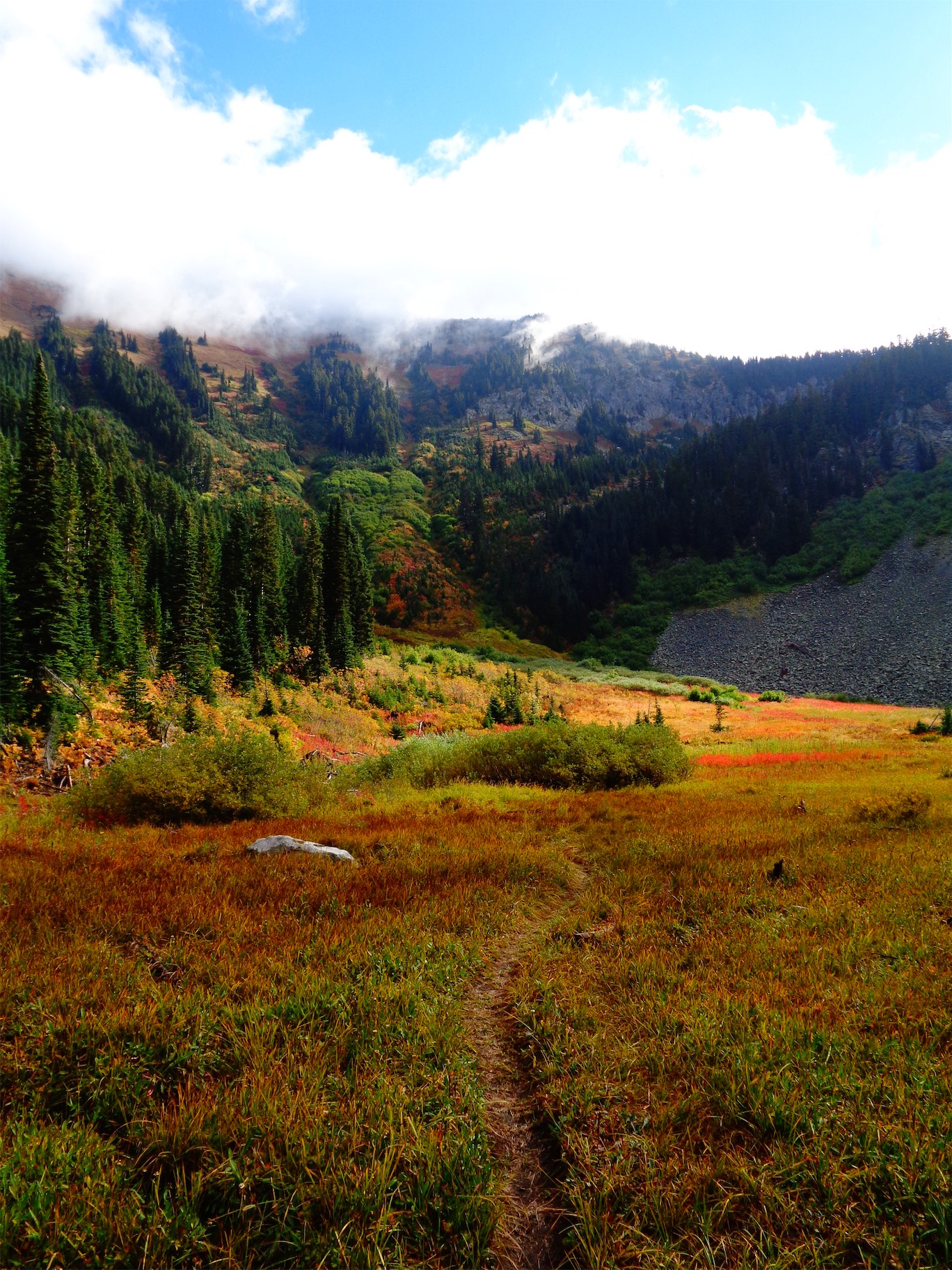
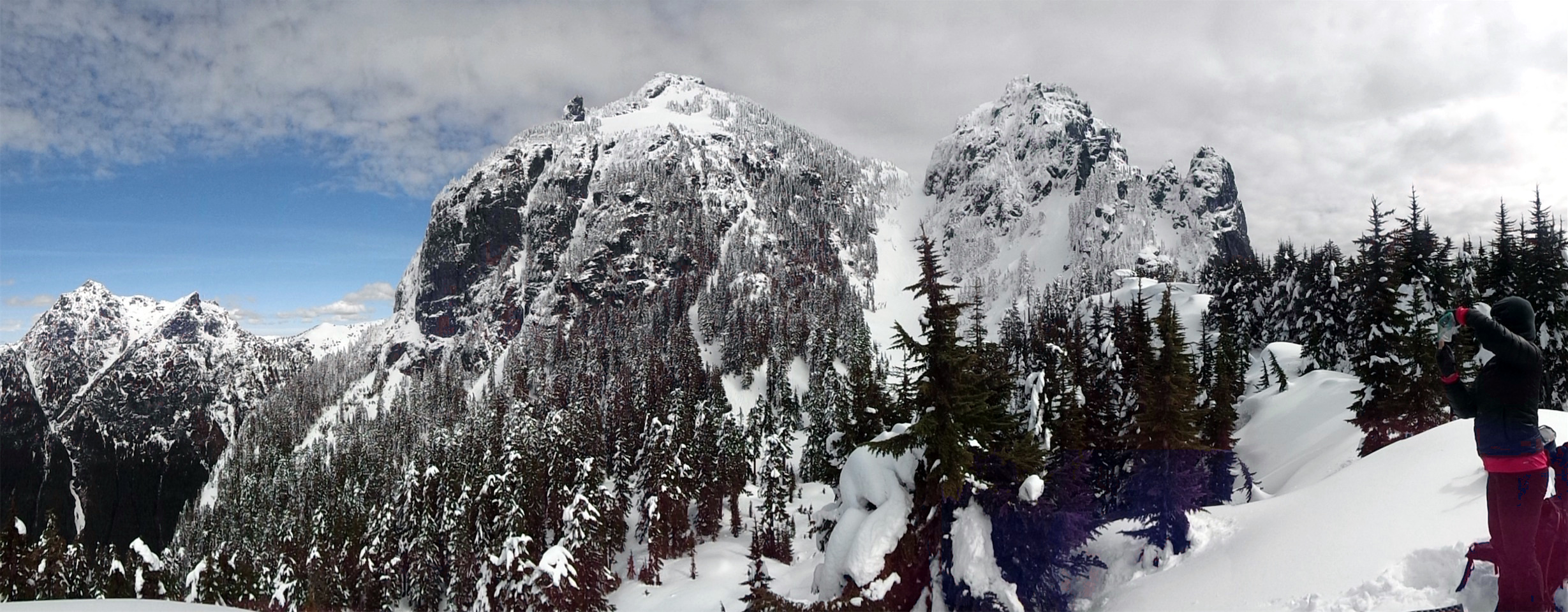
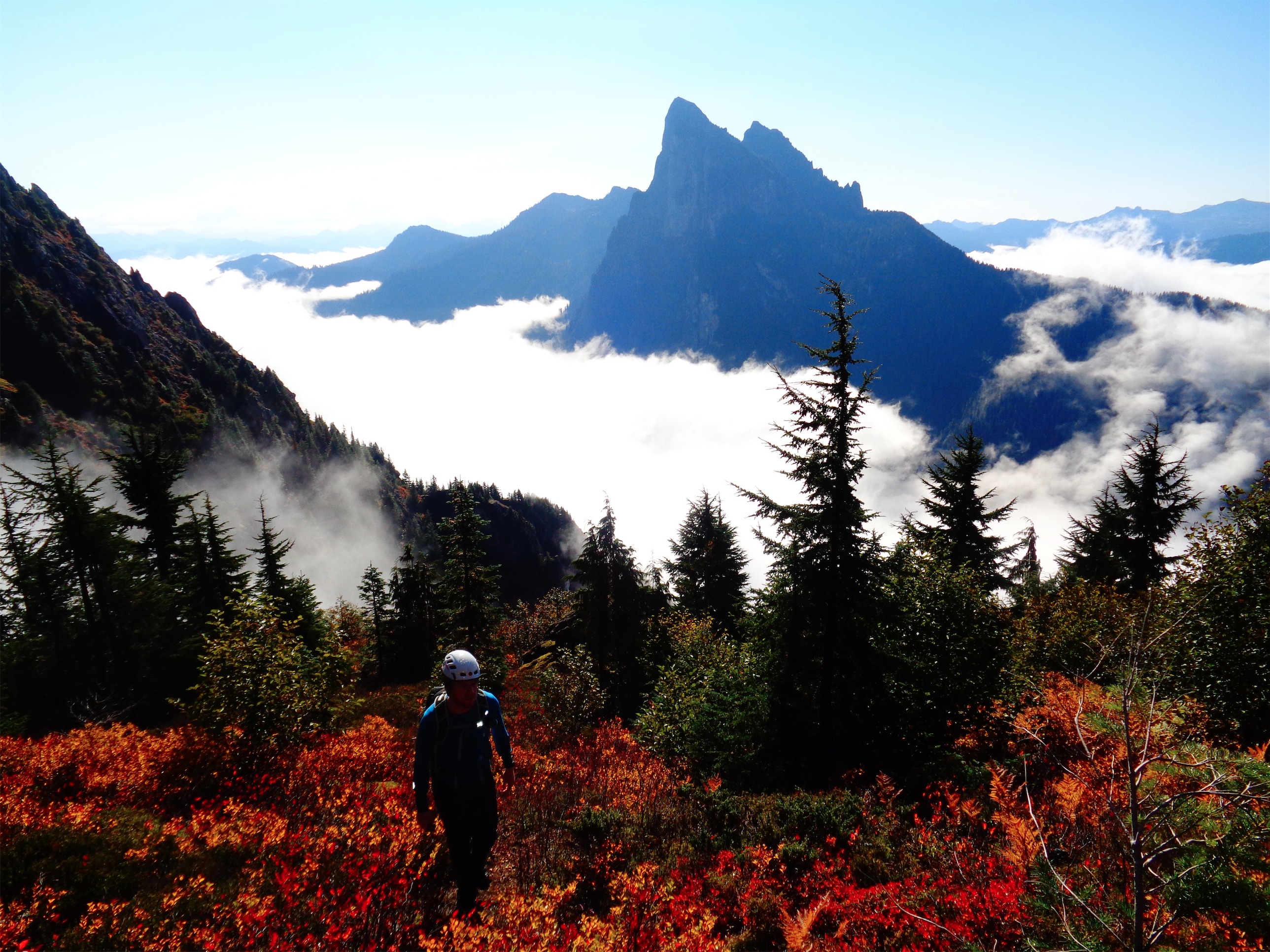
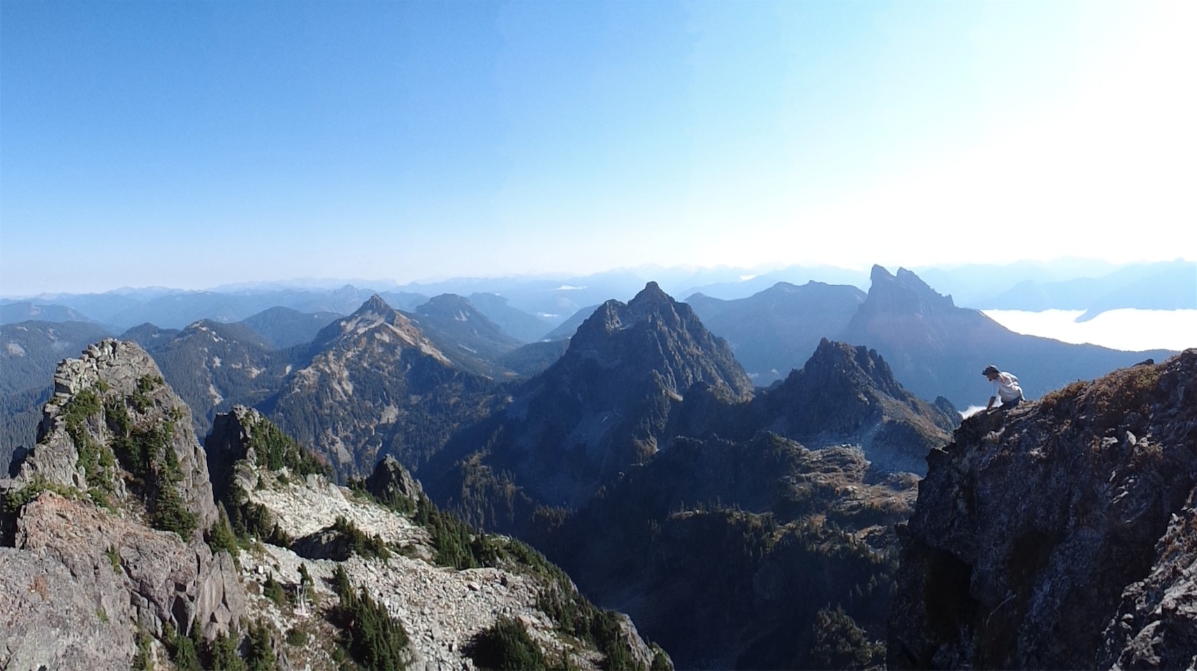
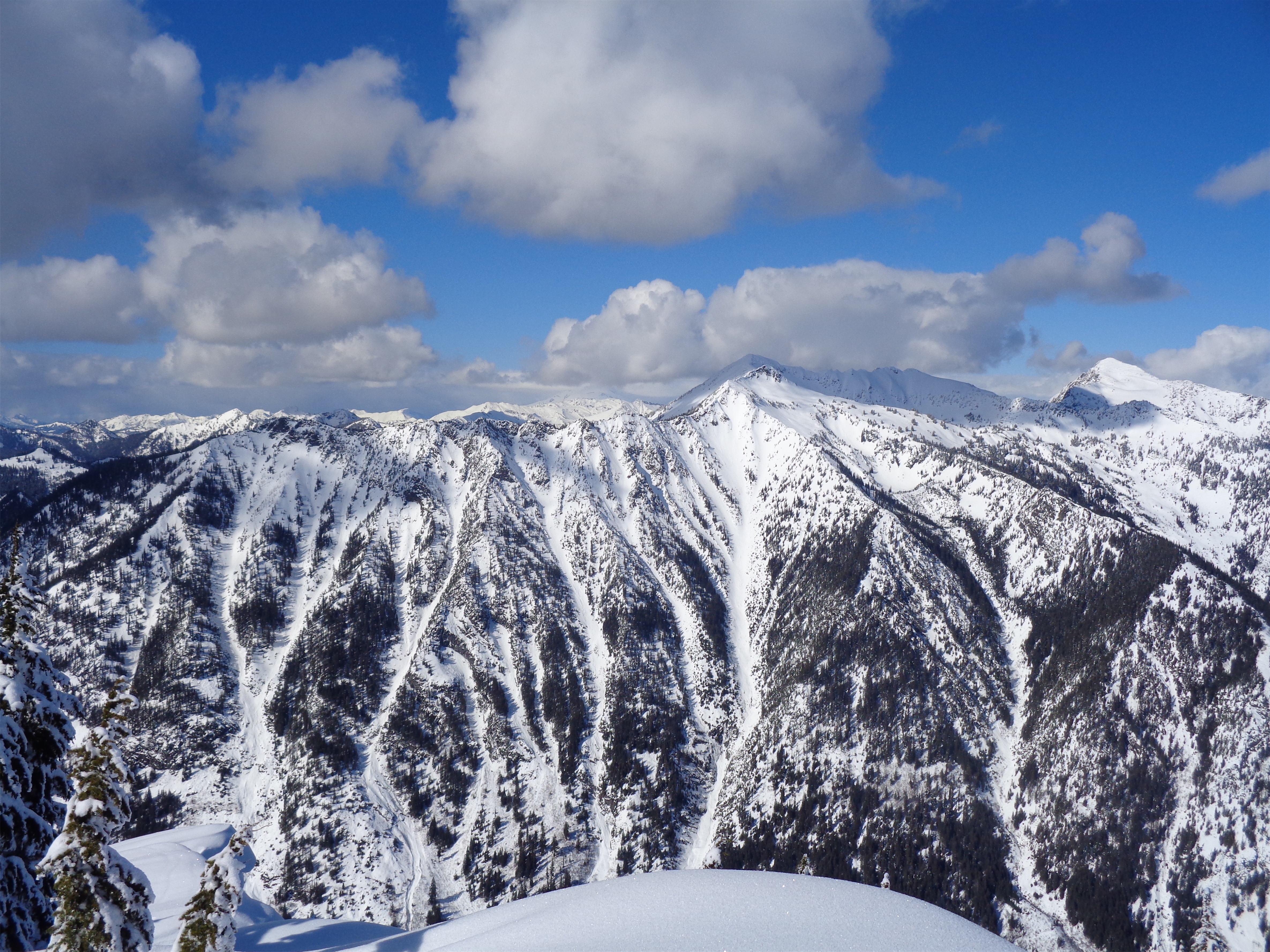
Looking out at the Chiwaukums

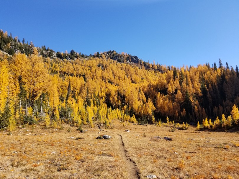
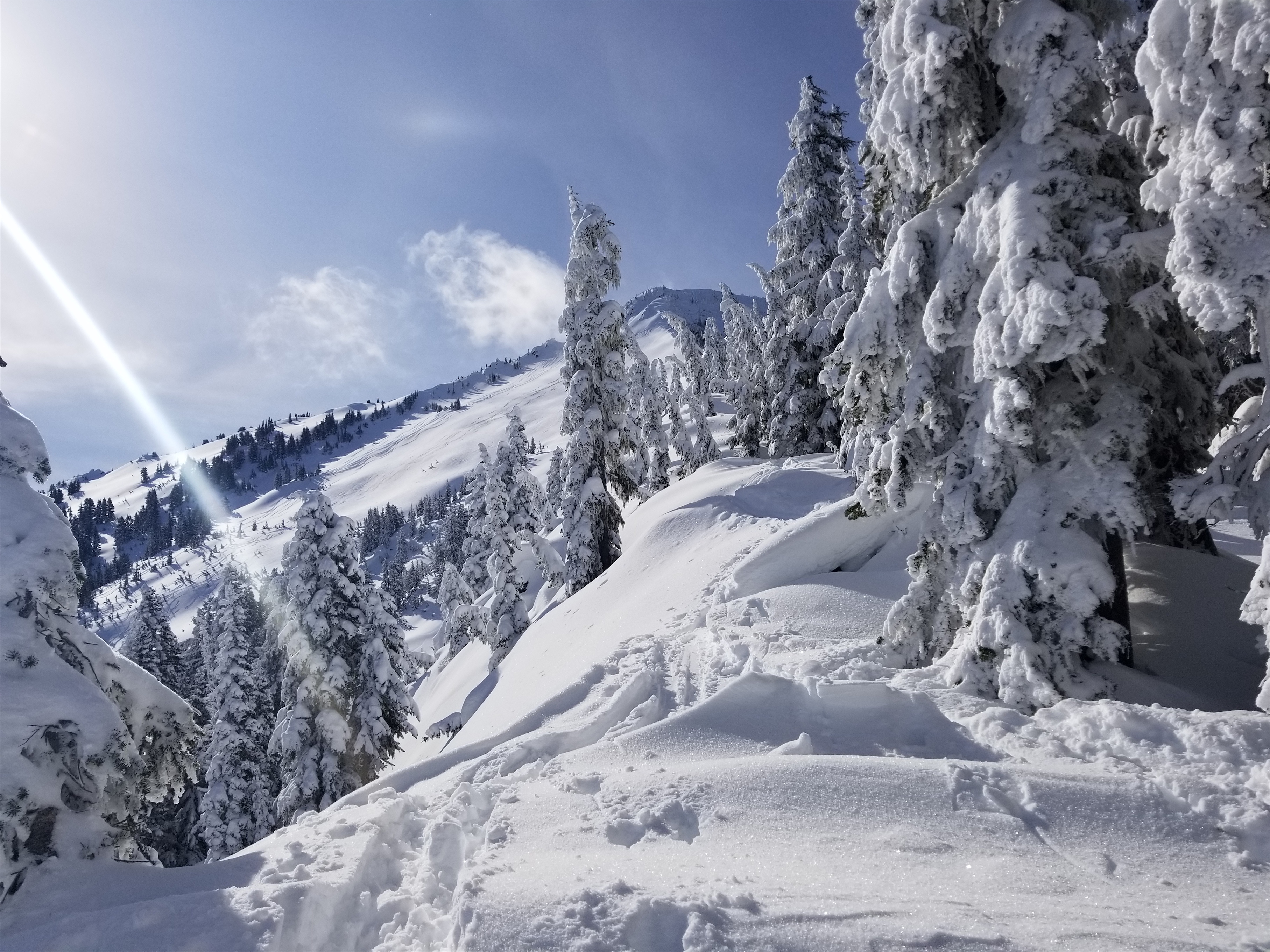
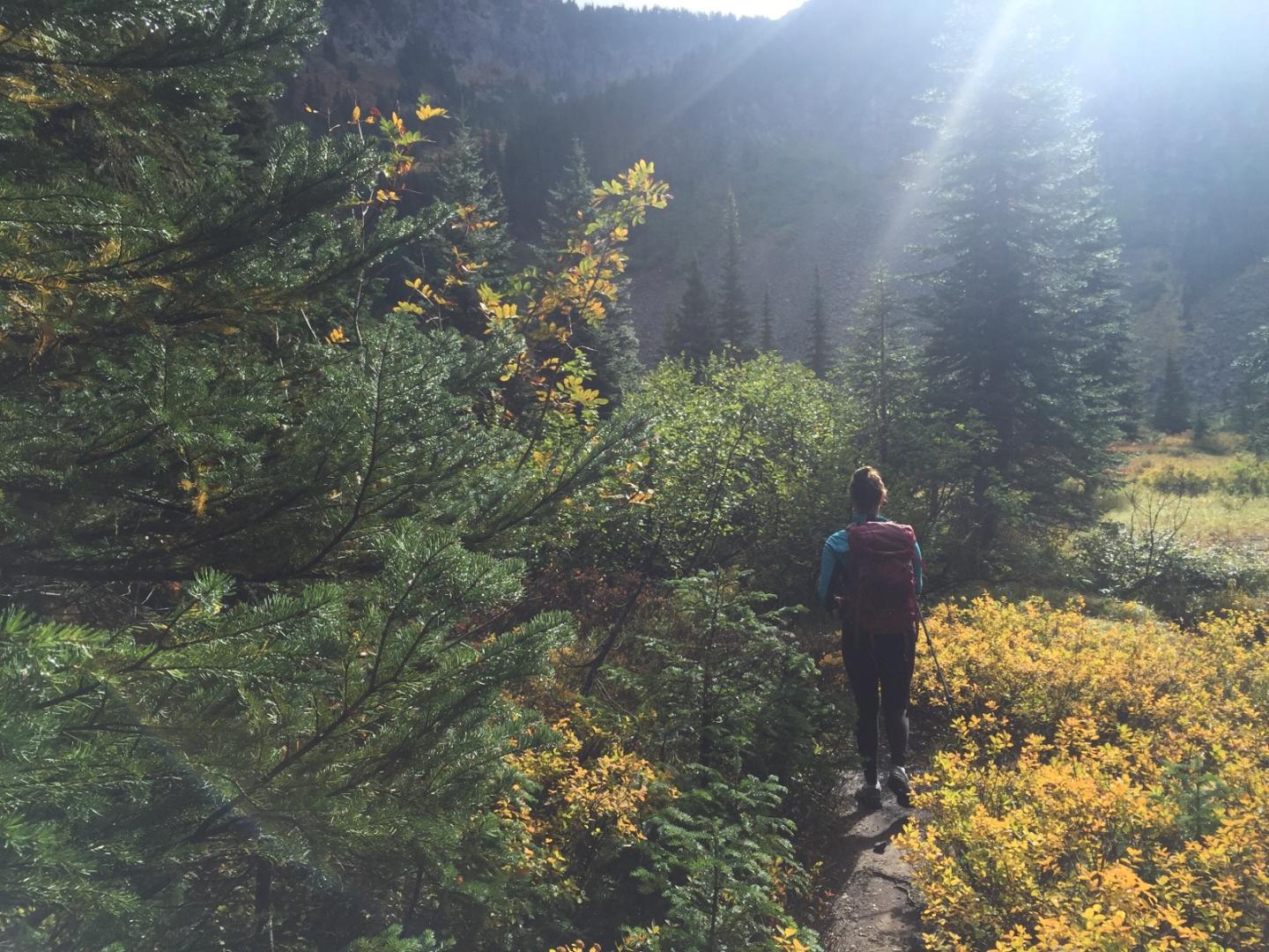
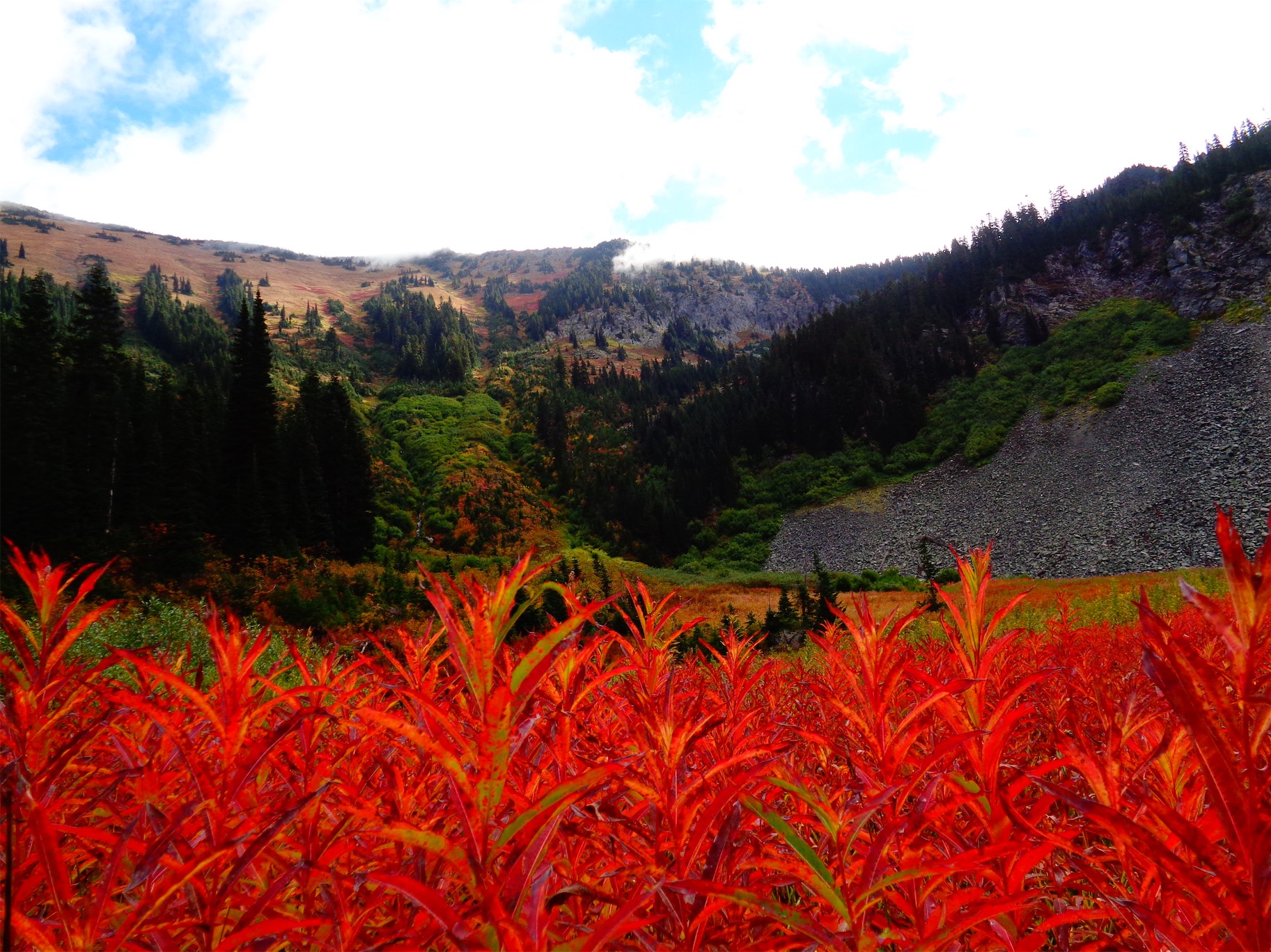
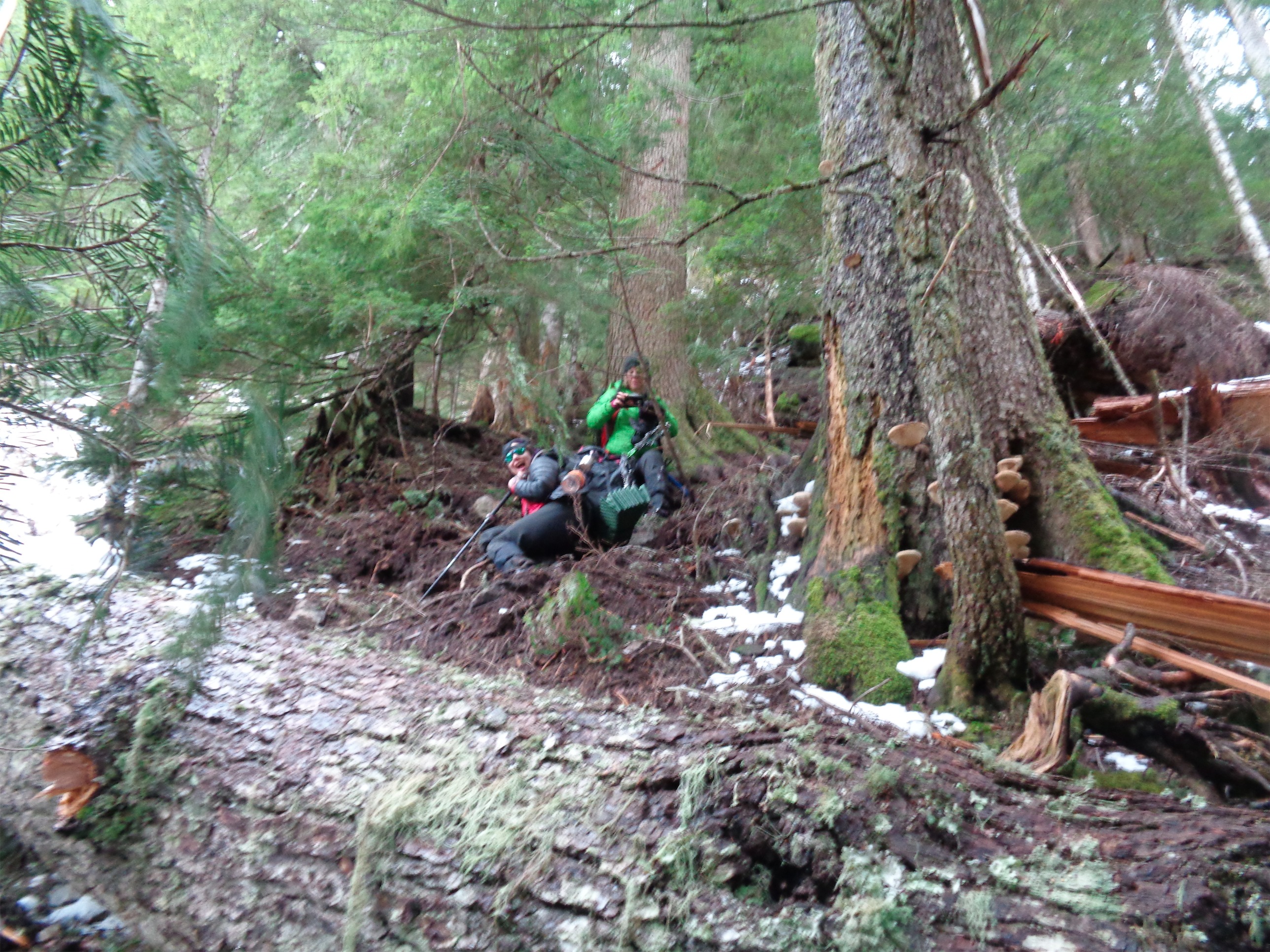
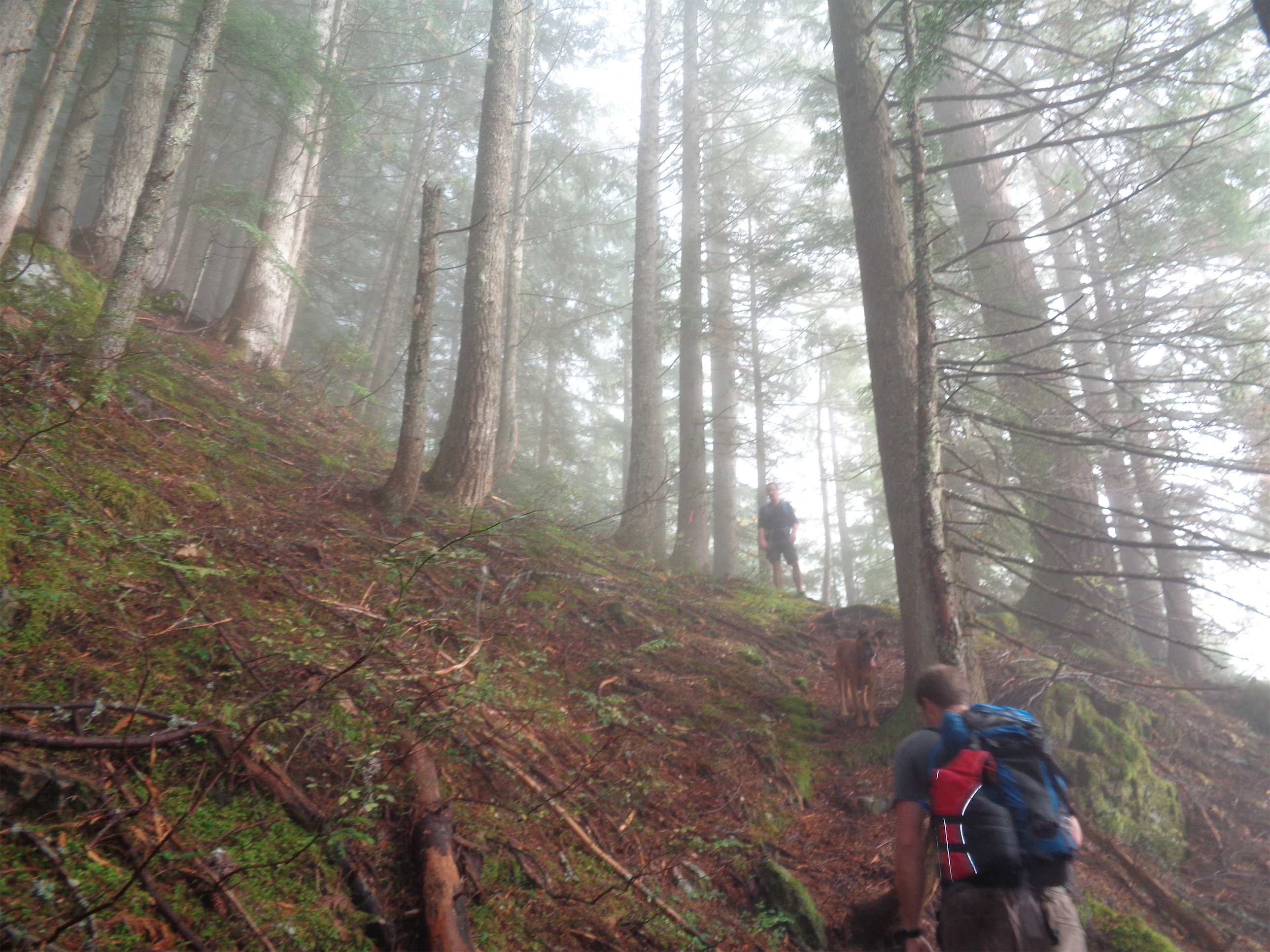
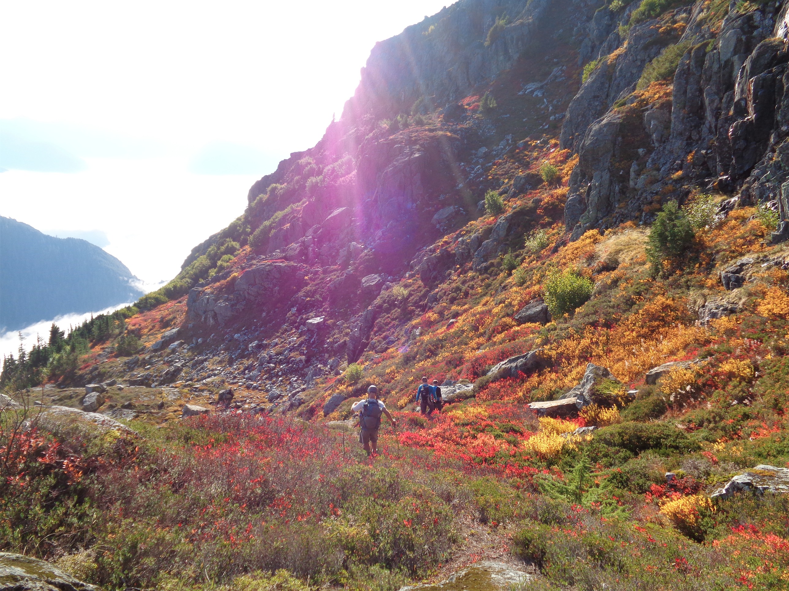
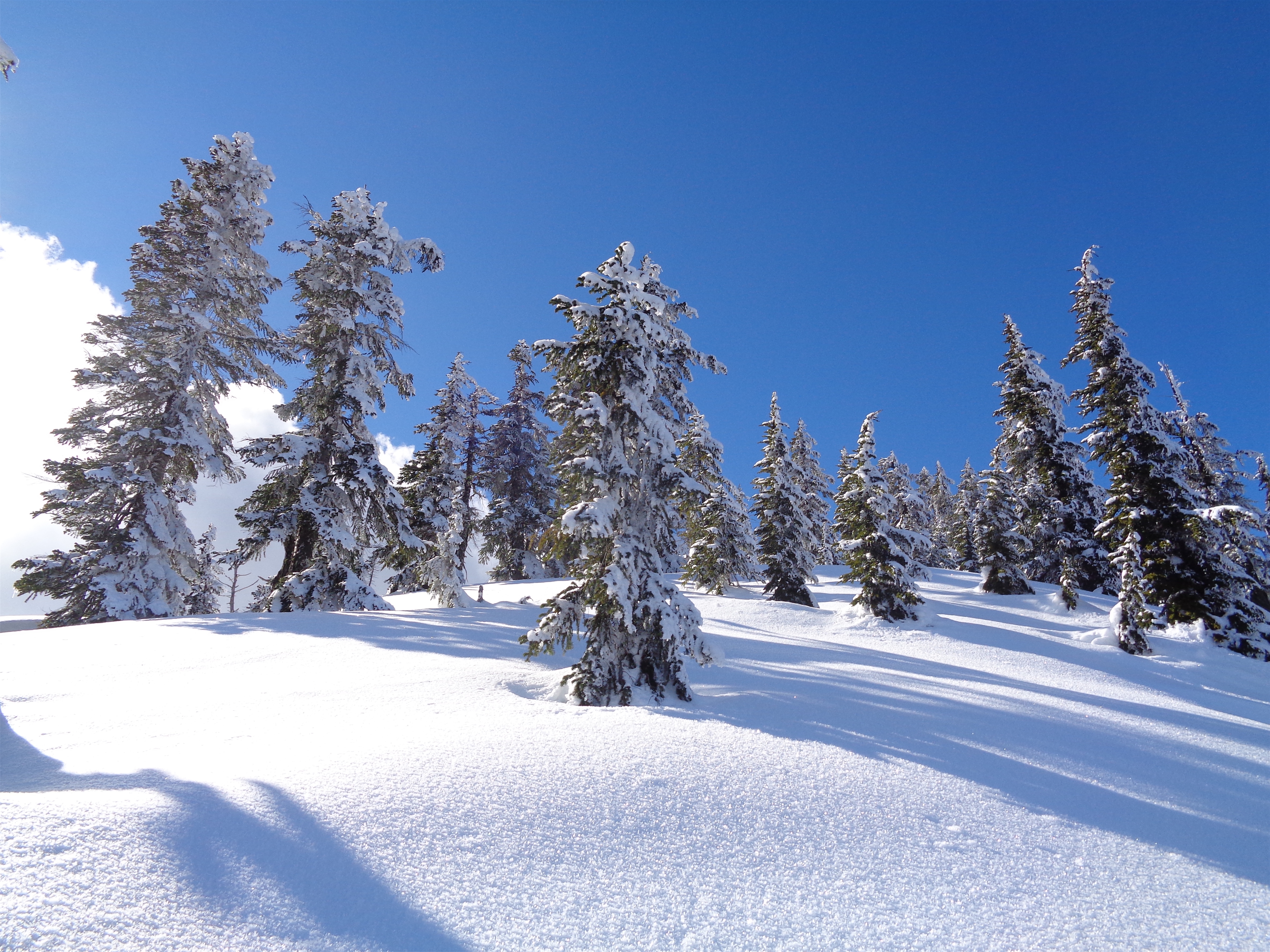
Finally hitting sunshine in the forest
I may be limited to half day trips, but really all that means is that for a while I have to go for quantity over quality for the next few weeks to stay sane until I have full weekends back. But sometimes you get lucky, and that “better to do something than nothing” trip turns out to be pretty freaking rad.
- Distance: 7mi round trip
- Elevation Gain: 3,300ft gain (6,000ft highest point)
- Weather: 30’s and sunny
- Commute from Seattle: 2hrs if you avoid Stevens Pass ski resort backup
- Did I Trip: A single wipeout on the way down. Perfection is hard

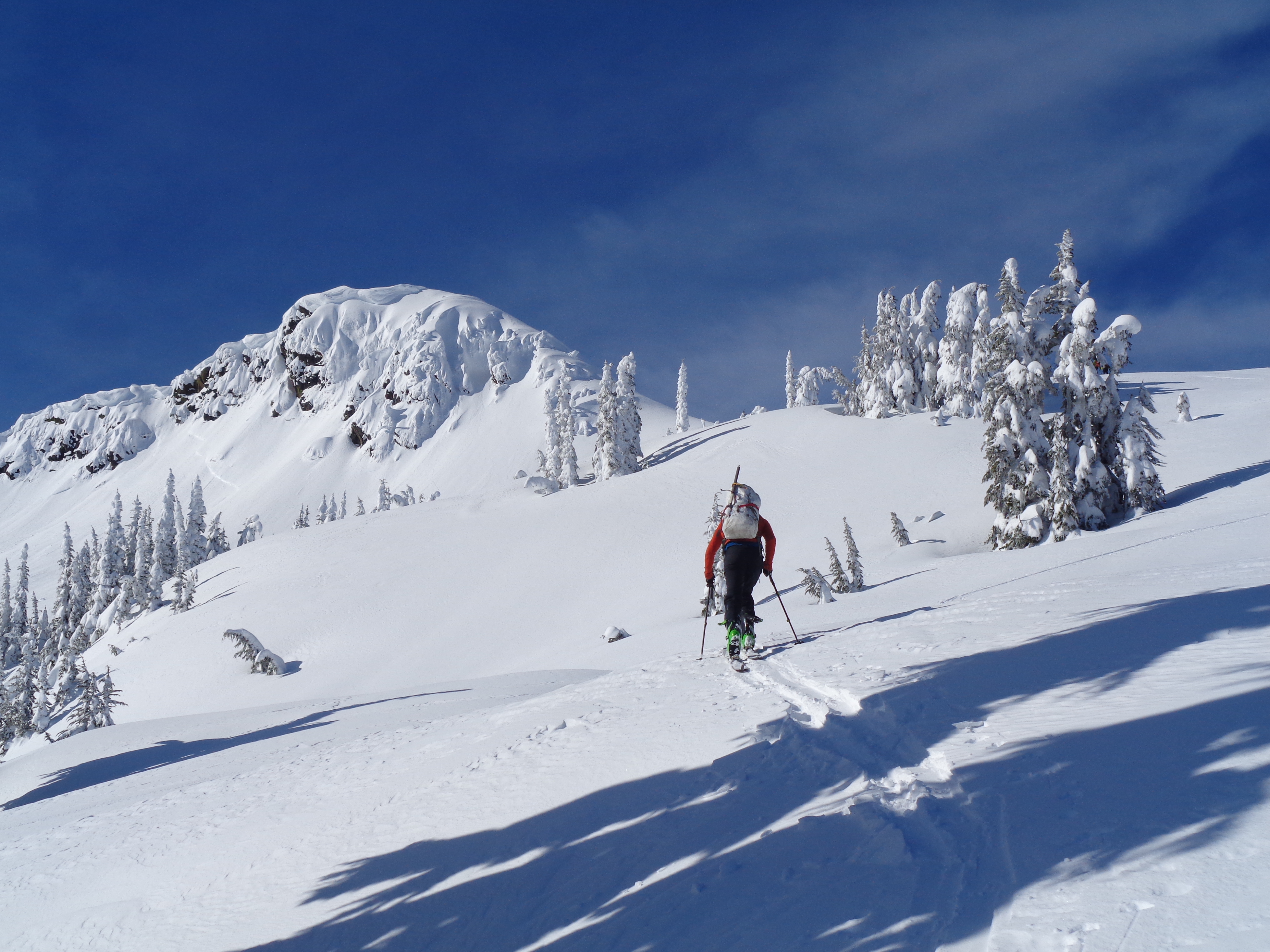
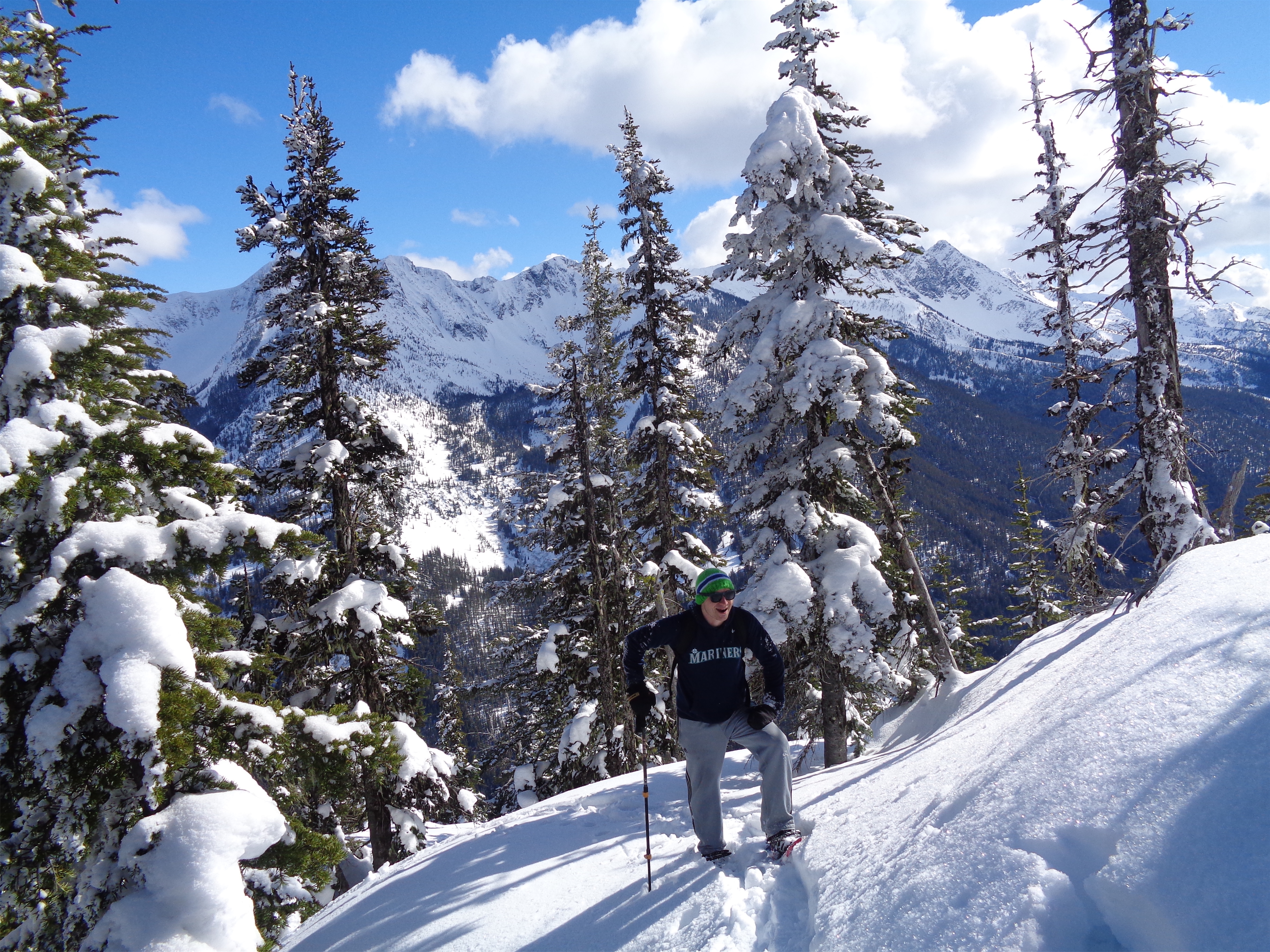
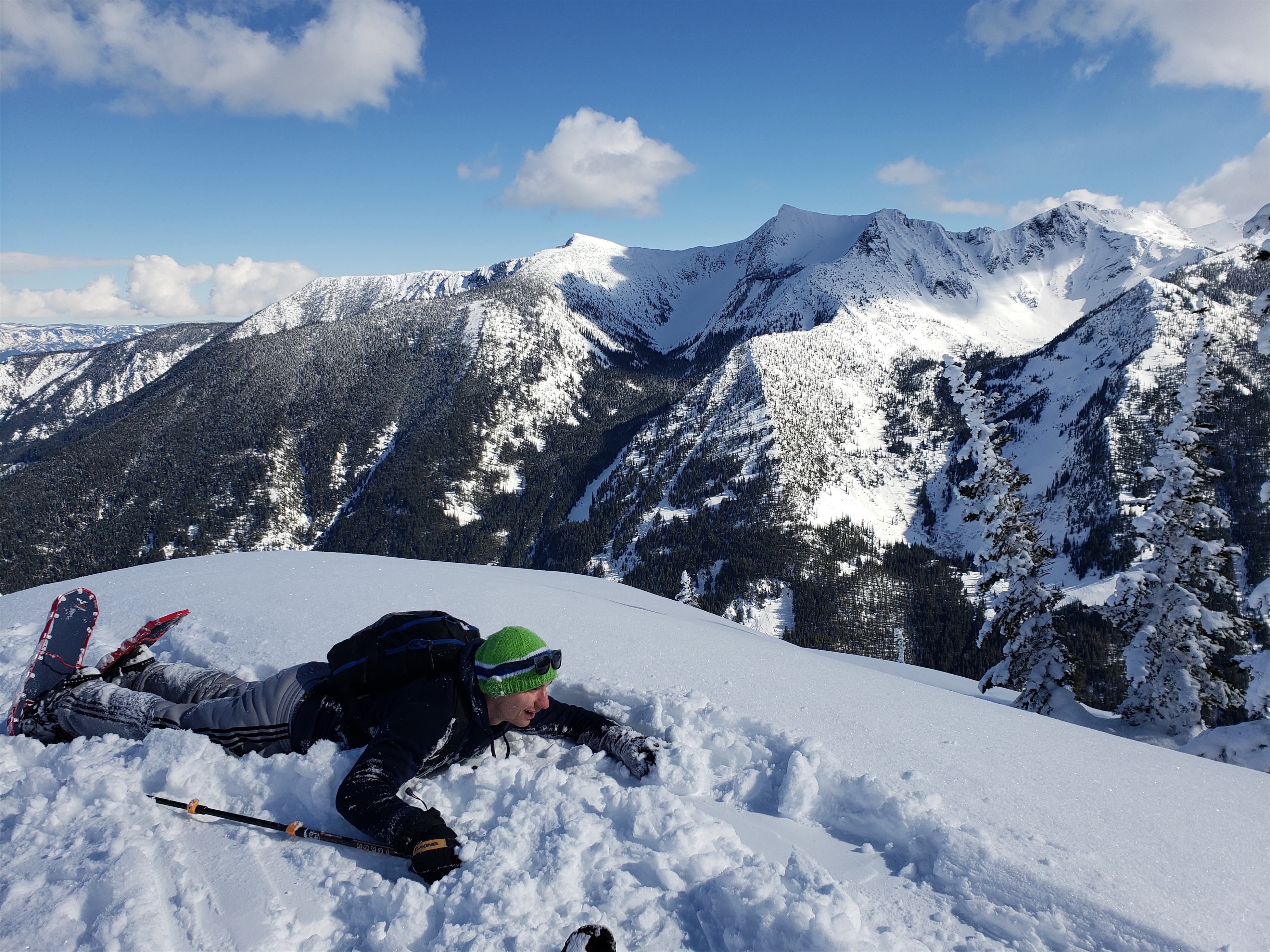
Yes he’s wearing mostly cotton
We hit the road just after 7 and stopped at Sultan Bakery for summit treats and breakfast. I had packed my snowshoes for Andy and my skis for myself, conscious of the fact that 1) I’d be skiing a snowshoe route 2) it was Andy’s first time on snowshoes and 3) I wanted him to actually enjoy the snowshoe, not resent the fact he might be chasing me on skis the whole time. #3 ended up not to be that much of a concern on the way up, because cutting a snowshoer friendly trail while skinning is actually kind of a pain in the ass, because basically anything with kick turns isn’t going to fly (snowshoes blow for sidehilling). It might have been an issue on the way down, but Andy was pretty quick to get used to the goofy flappiness of snowshoes, and kept up pretty well.
Let’s quickly go over the setup for Andy’s first snowshoe.
- Rated “strenuous” by the mountaineers, 3k gain in about 2 miles
- Low traffic (expect to be breaking trail yourself)
- Wearing mostly cotton
- Running shoes (old road running shoes to be specific)
- Two layers of socks with a plastic bag in between to try and keep feet dry
- Three apples
- Coming off a ~1 week long cold
- I think he might be a Seattle sports fan but I can’t really tell
- Keeping company with a skiier (even if a mediocre one who’s trying to break a snowshoe trail)
Not a good start for most people. I made him swear to keep me updated on temperatures, comfort, and the status of his feet, because they could get cold and wet enough to make us turn around at some point. Don’t be a hero. But it was sunny, fairly warm, and I had enough jackets and extra pants for him to use if his layers got wet. I didn’t have extra shoes. And how did it go? Pretty freaking well.
Living the dream
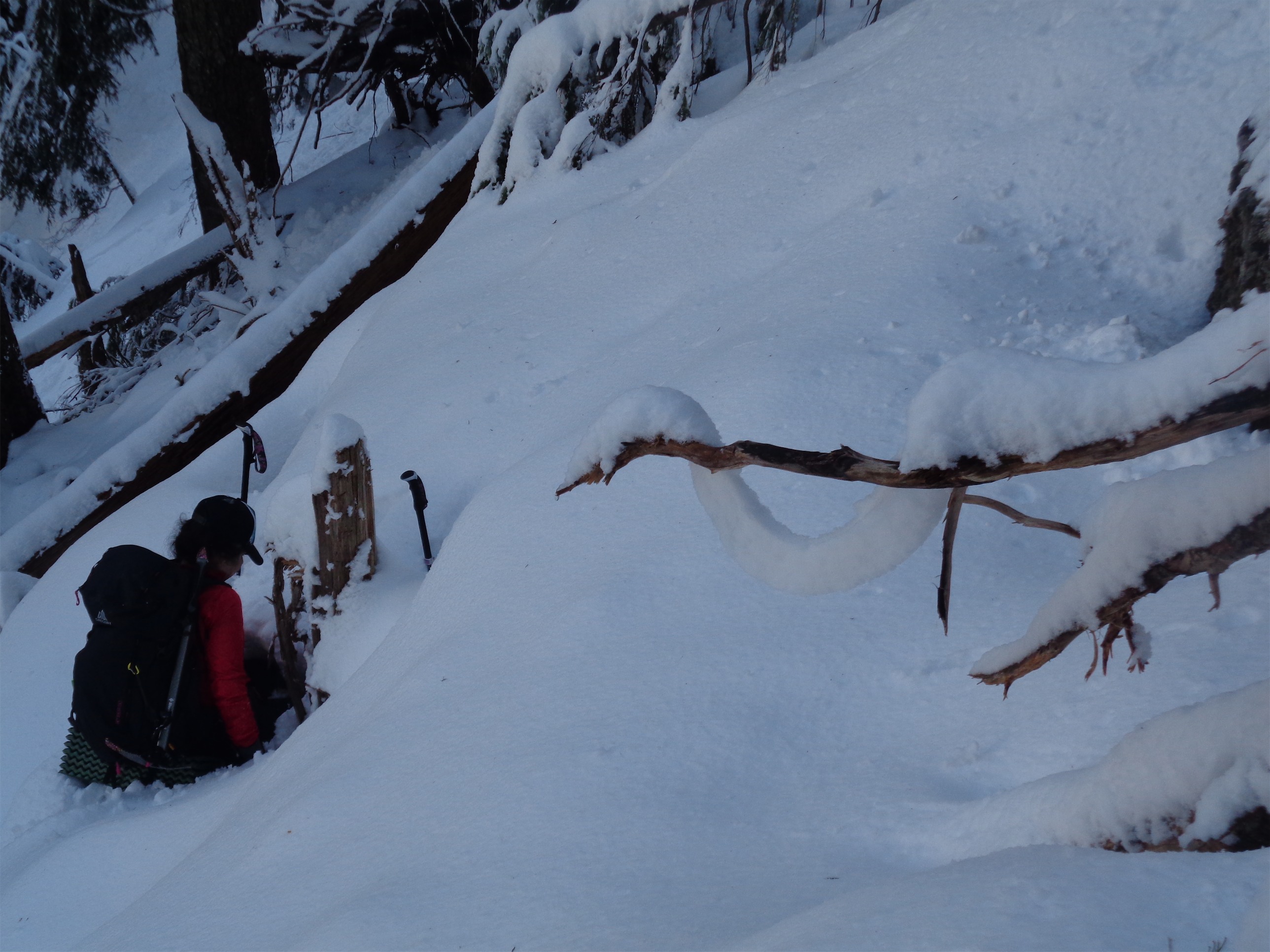
We found the railroad tracks immediately, and roughly followed Steph Abegg’s map (several gpx files on peakbagger). Stupid me thought that they were abandoned, but they were very much active, and that freaked me out. Every loud car that came by made me freeze and listen for 30 seconds to decide whether it was a car or a train. We had one train pass almost immediately, and then we started walking east until we ran into four skiiers headed in the other direction. They confused me for at least 30min, convinced that we were going to the same place yet we were going east and they were going west. We turned around to follow them until I checked the map and put two and two together – they were taking the Henry Creek approach, same route to get up to Jim Hill. Duh. That’s basically skiiers only, I wasn’t going to drag a snowshoer up that to destroy skin tracks and be a traffic cone for skiiers to dodge. So we turned around again, committing to the snowshoer route as originally planned.
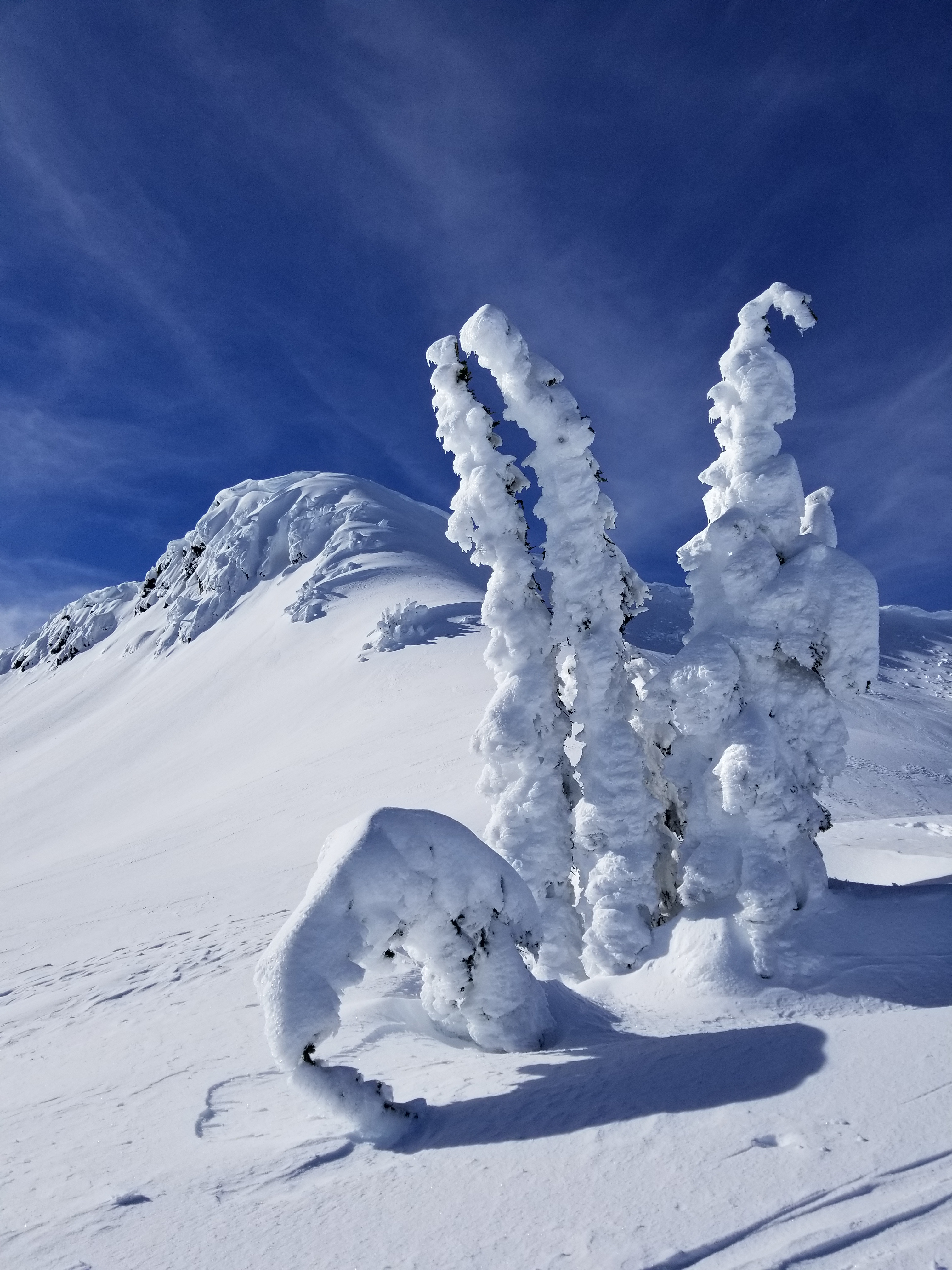
Tell me that doesn’t look amazing
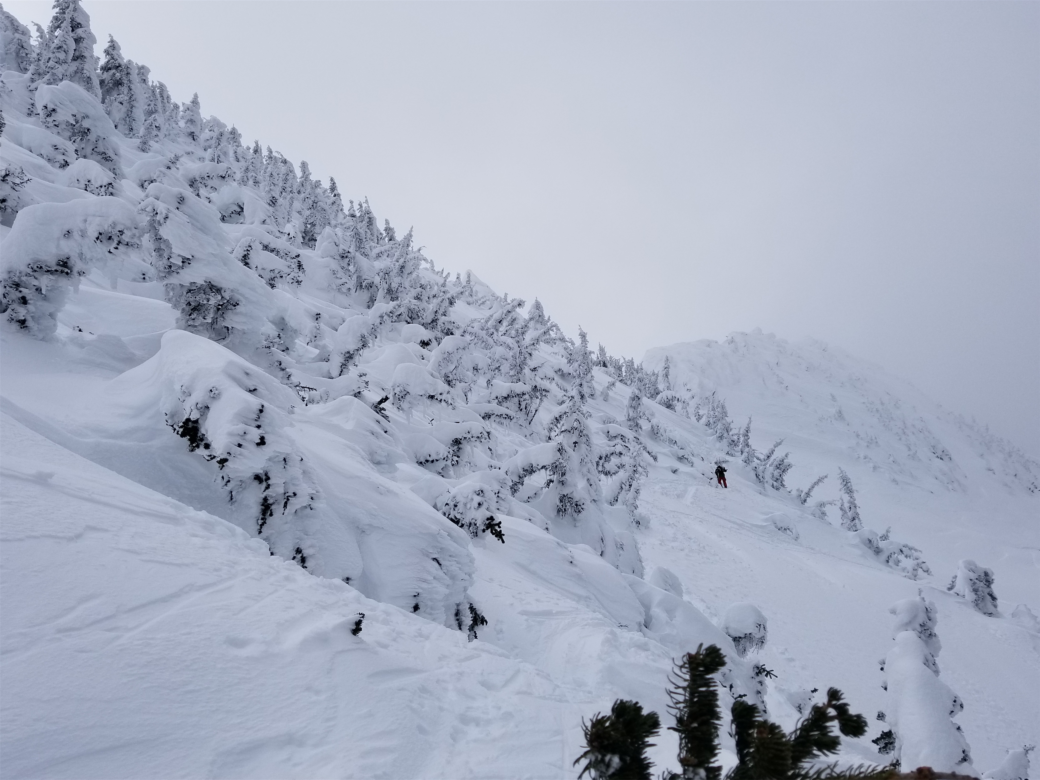
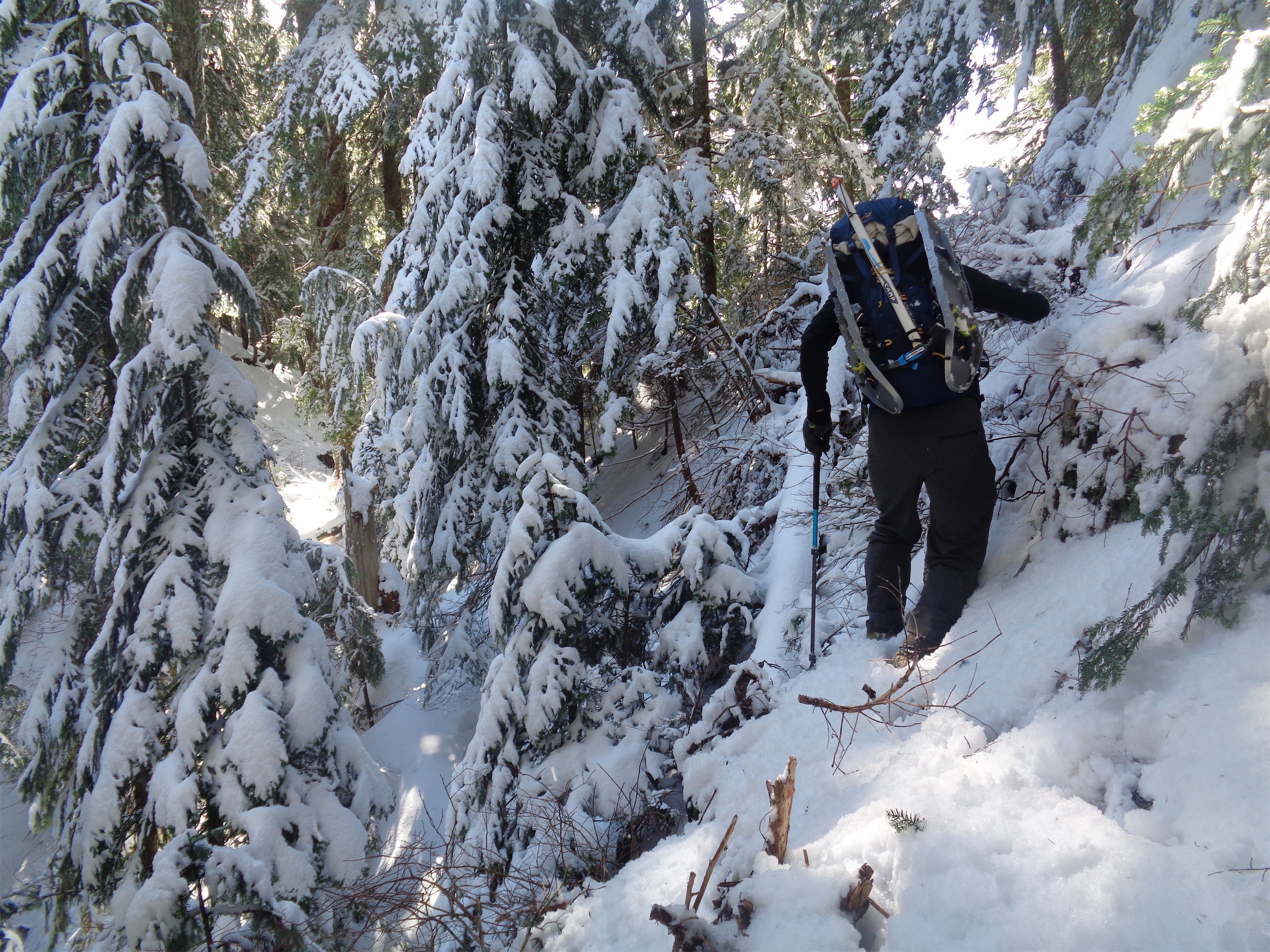
That was a great choice. We popped off the train tracks where it looked like an old road or another railroad grade started, and miraculously found some very old snowshoe tracks that we could somewhat follow. As soon as we stepped off the train tracks, boom, a second train came by. Trains are awesome and also scary. The uphill travel was easy, open forest, and we knocked out the first mile of real elevation gain at a steady pace, getting sneak views of the peaks across the highway. I tried to avoid kick turns as best I could, and when they did have to happen I told Andy to keep going straight up. But I think you could say I broke one of the least efficient skin tracks ever to be broken in the Stevens Pass backcountry.

“This is the best apple of my life.”
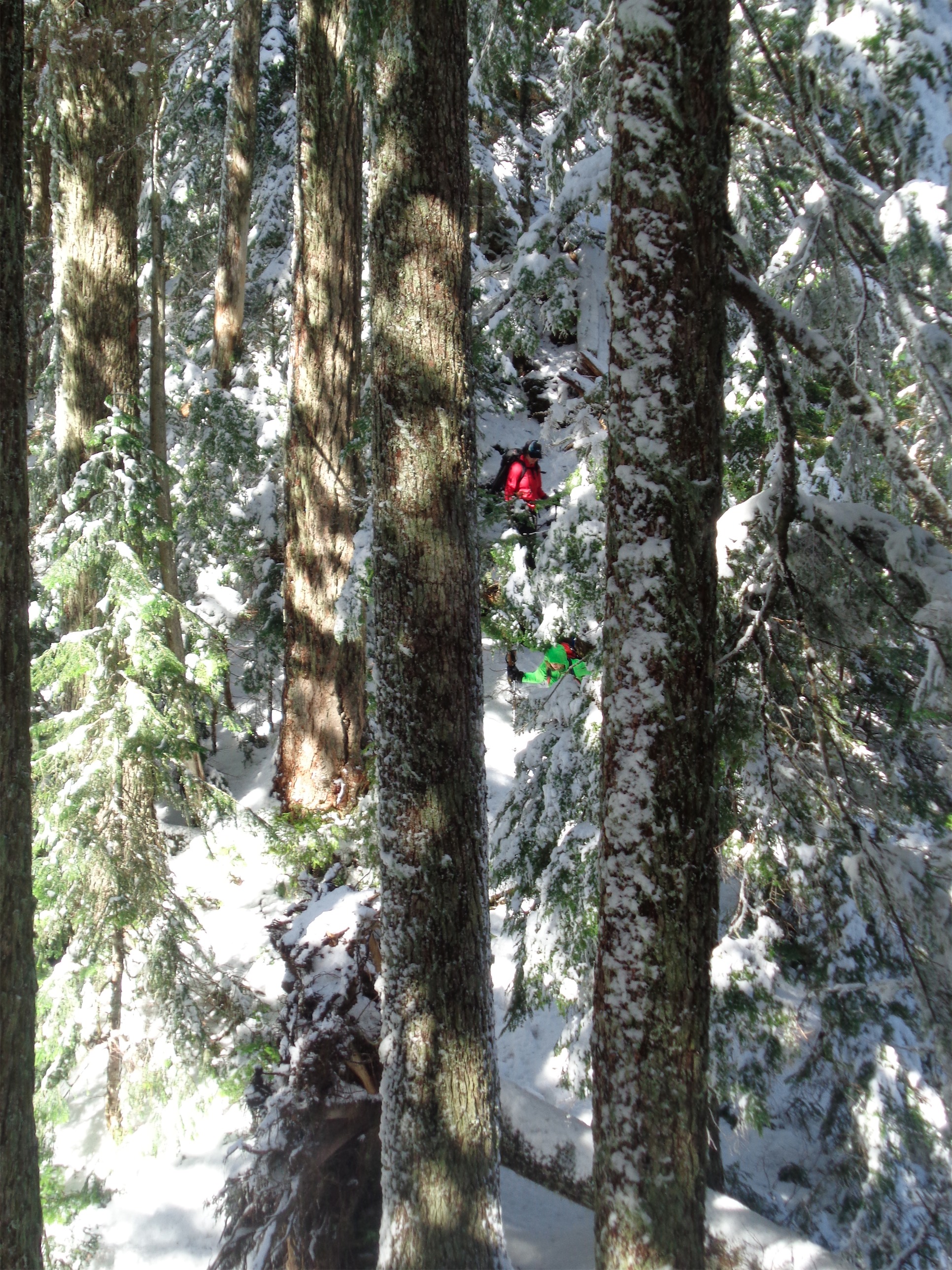
At the ridge in the sun, we stopped for a snack. Andy had definitively the best apple of his life. I was skinning in circles babbling about the Chiwaukums and how we had picked such a good area to go to. It was still another thousand feet of gain to the summit, and from the reports I had read, those last thousand feet go pretty damn slowly. And they were right. We meandered around trees, avoided some exposed convex slopes, some fluffy pillows that are a pain in the ass to go over but easy to go around. The views got increasingly better and finally, we were looking at the summit. Andy had been taking breaks every few minutes to let his lungs catch up and made me swear not to tell him if it was the actual summit. He clambered over a steep snow pillow (picture the dramatic hand-grab-over-ledge scene from movies) and pulled the beached whale move to get onto the top and boom, we were there. I flipped into mom mode and demanded he wipe the powder off his sweater and put on a jacket, otherwise he’d be wet and cold real fast. Andy enjoyed the second best apple of his life while I faced the stark reality of having left my summit treats in the car.
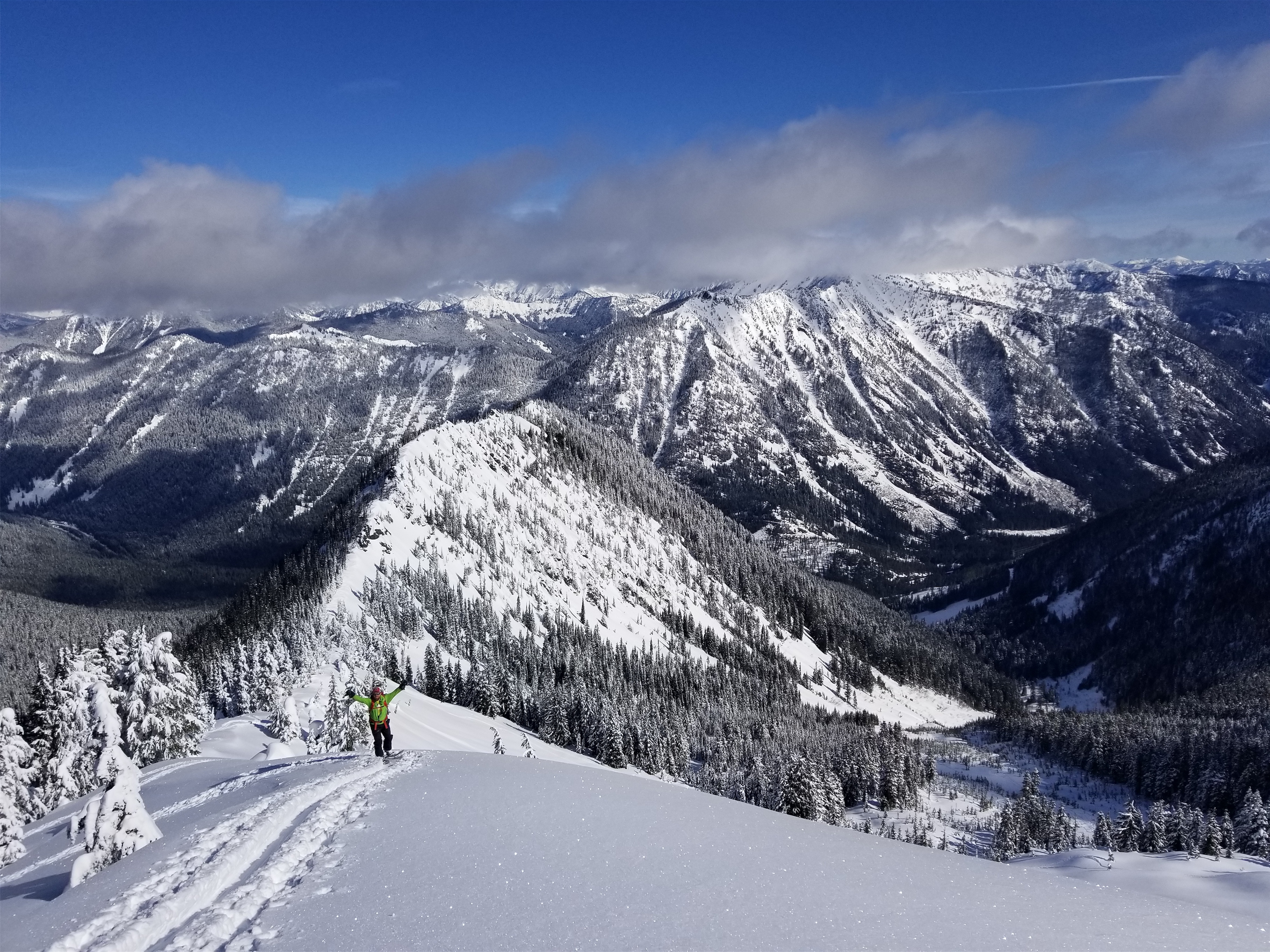
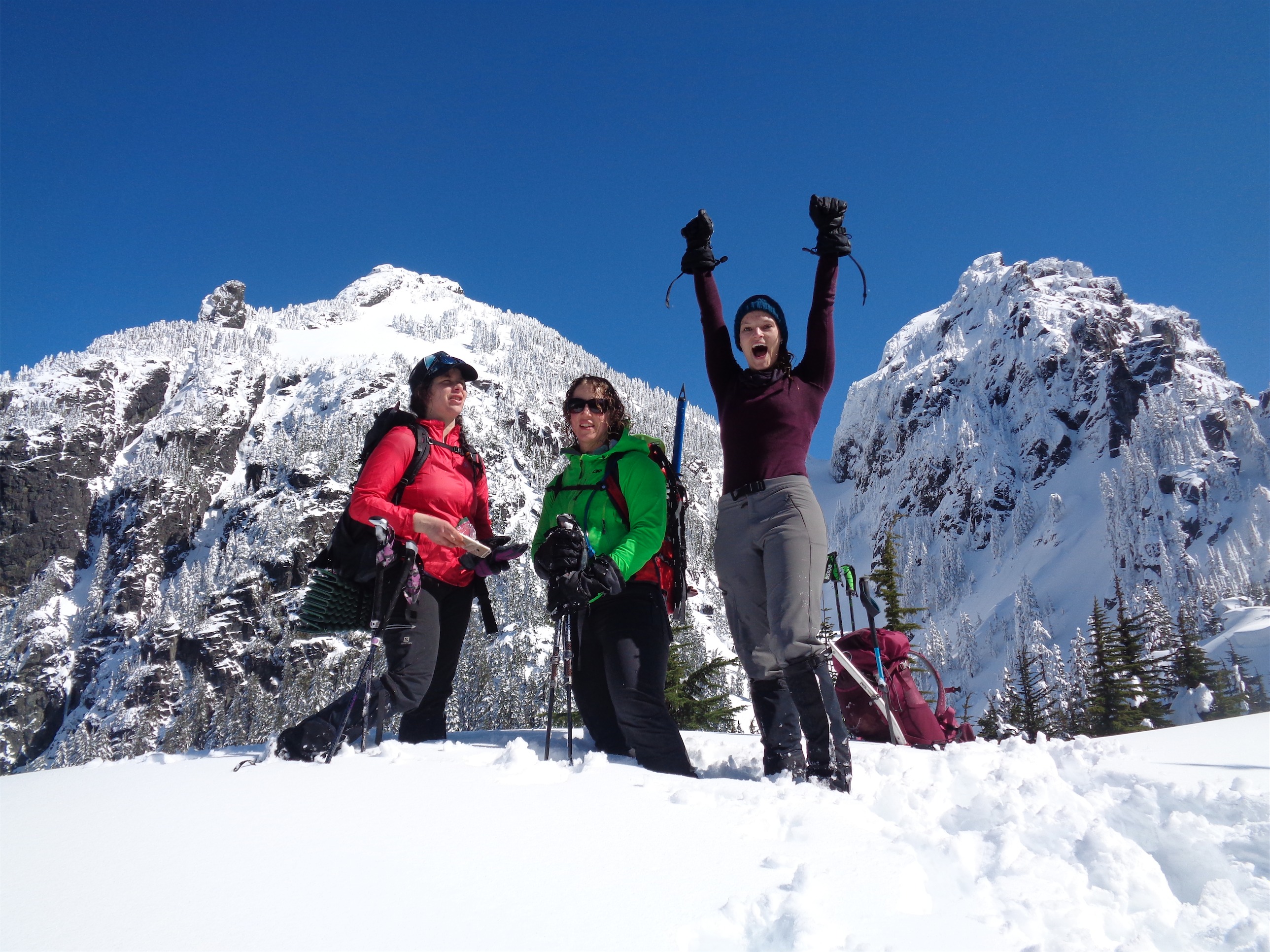
SUMMIT
We took a million pictures before heading back down. We followed our tracks, I’d ski a bit, wait for Andy to catch up. The skiing was phenomenal. Absolutely perfect. Probably 12″ of fluffy, cold powder THE ENTIRE WAY DOWN. The ridge was fantastic glade skiing, threading the needle between trees trying to stay near the ridge top and not dropping too low. We passed two other snowshoers who took a much less pleasant route up and were turning around because of time limitations. “Where did you come from?!” they were shocked. “Yeah, you should probably follow our tracks down, it was all nice open forest.” They had gone too far east on the railroad and ended up in thick trees, steep snow, and some nasty bushwhacking. We hadn’t had to do a single bit of schwacking. They offered us some of those coconutty girl scout cookies, which were everything my body wanted in that moment. I told them it was Andy’s first snowshoe. Their jaws dropped.
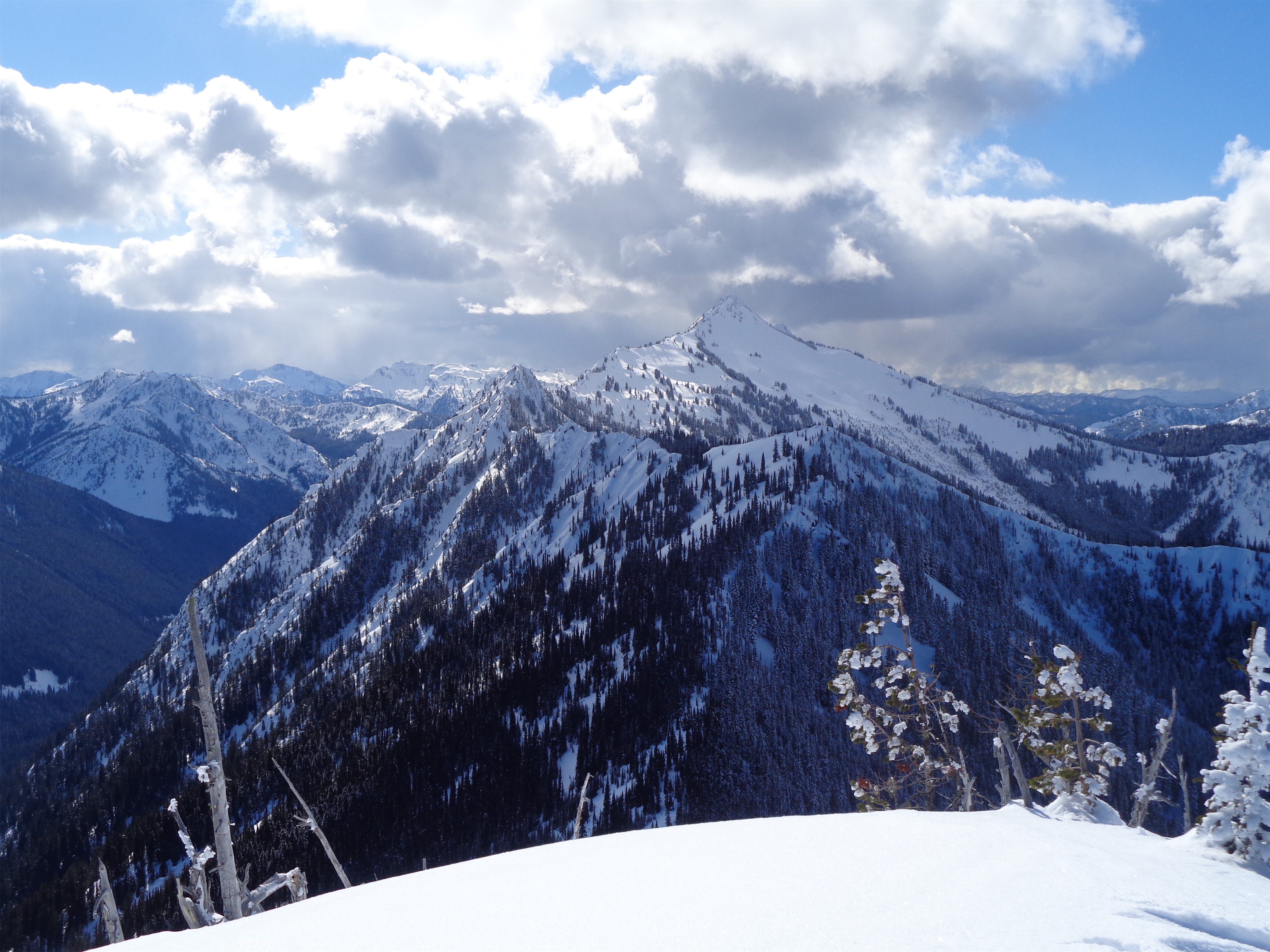
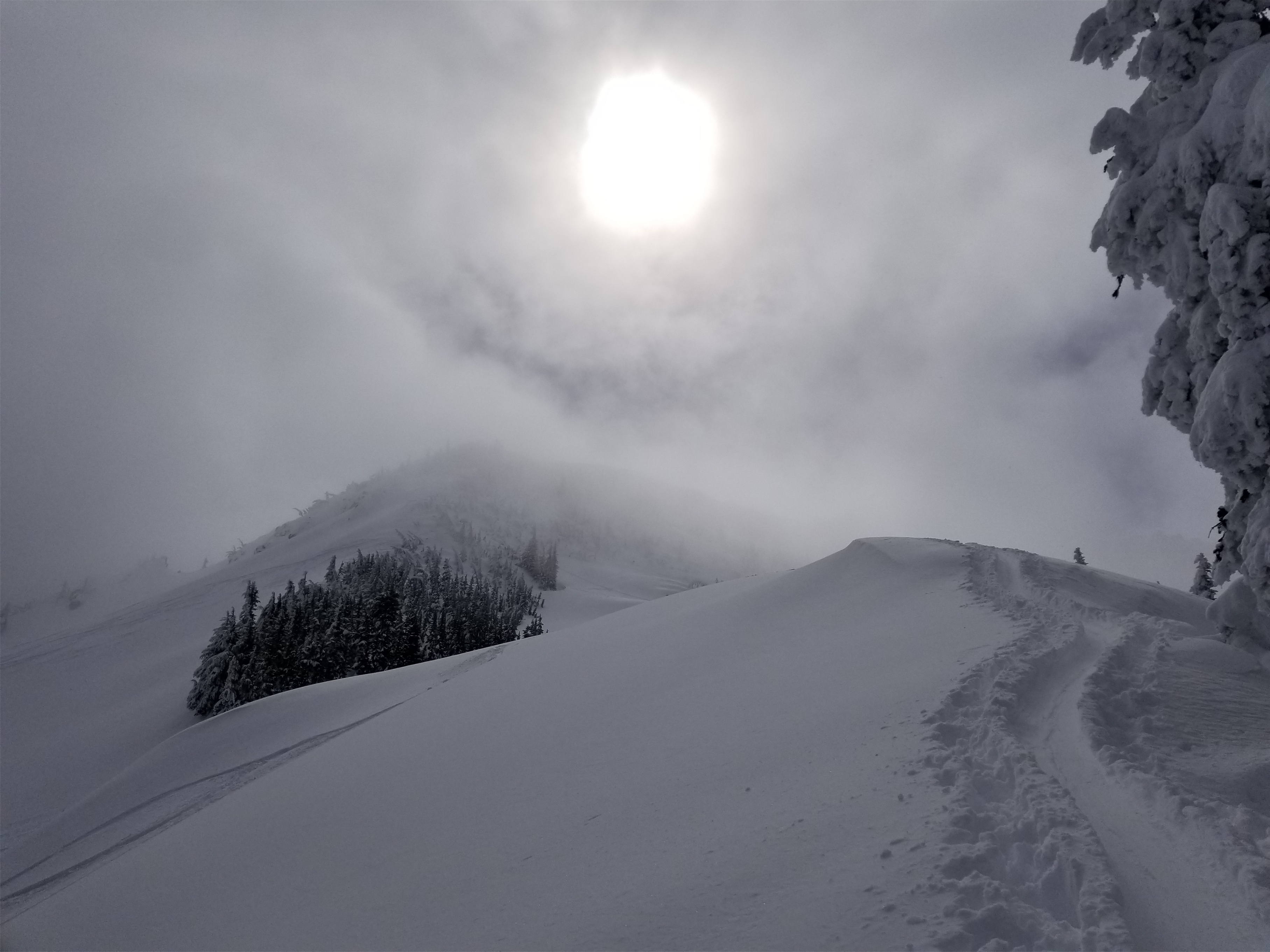
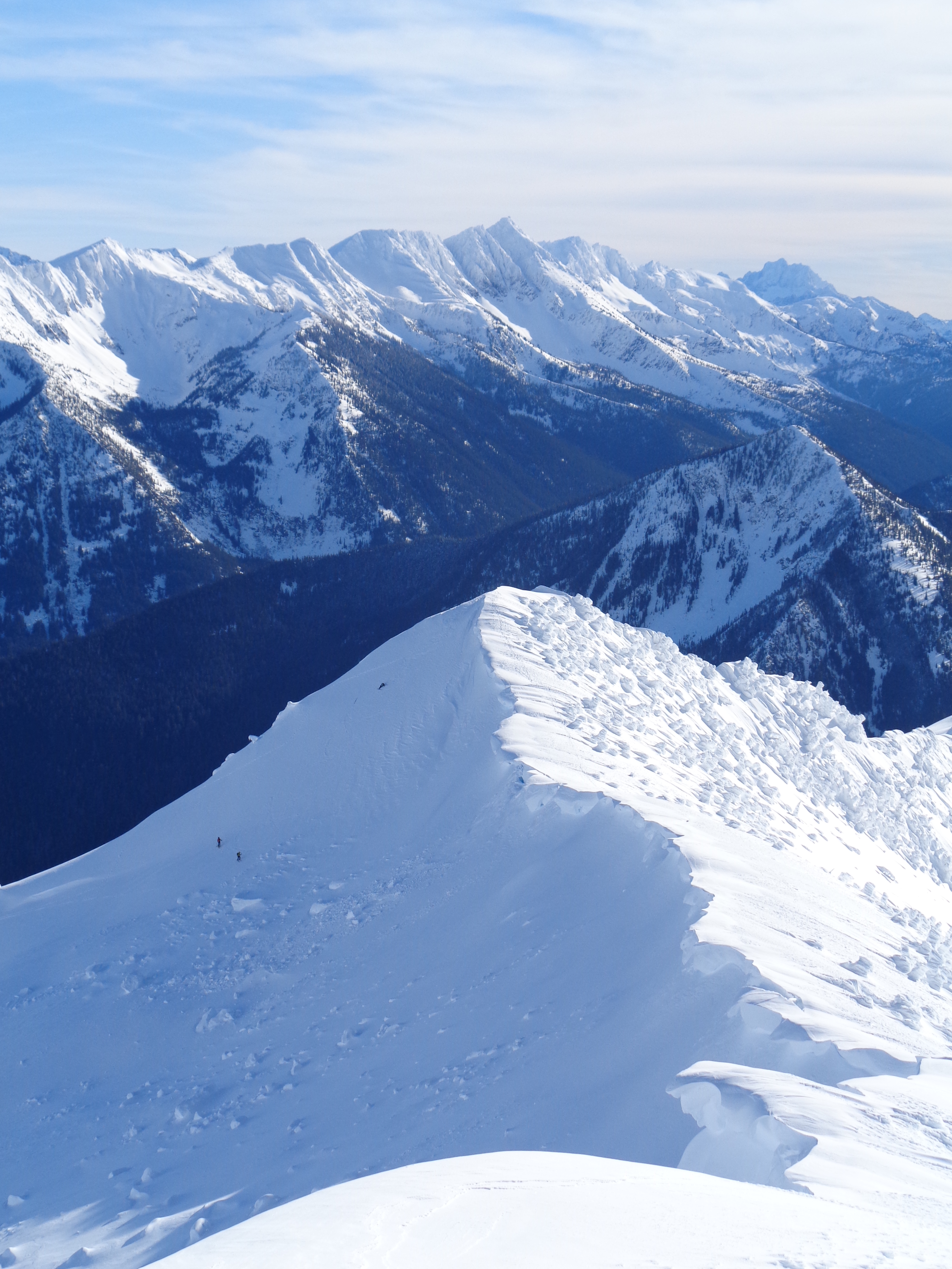
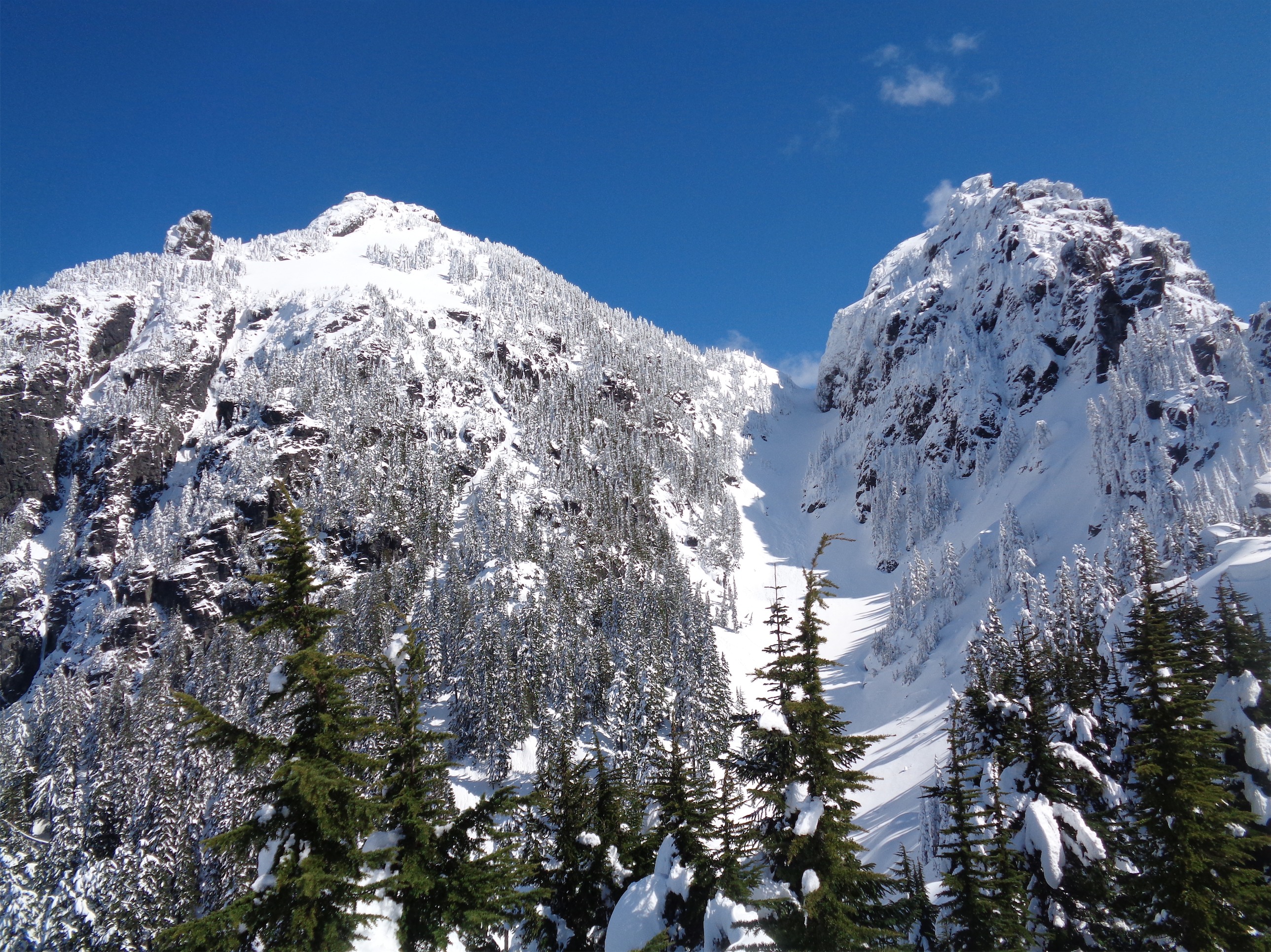
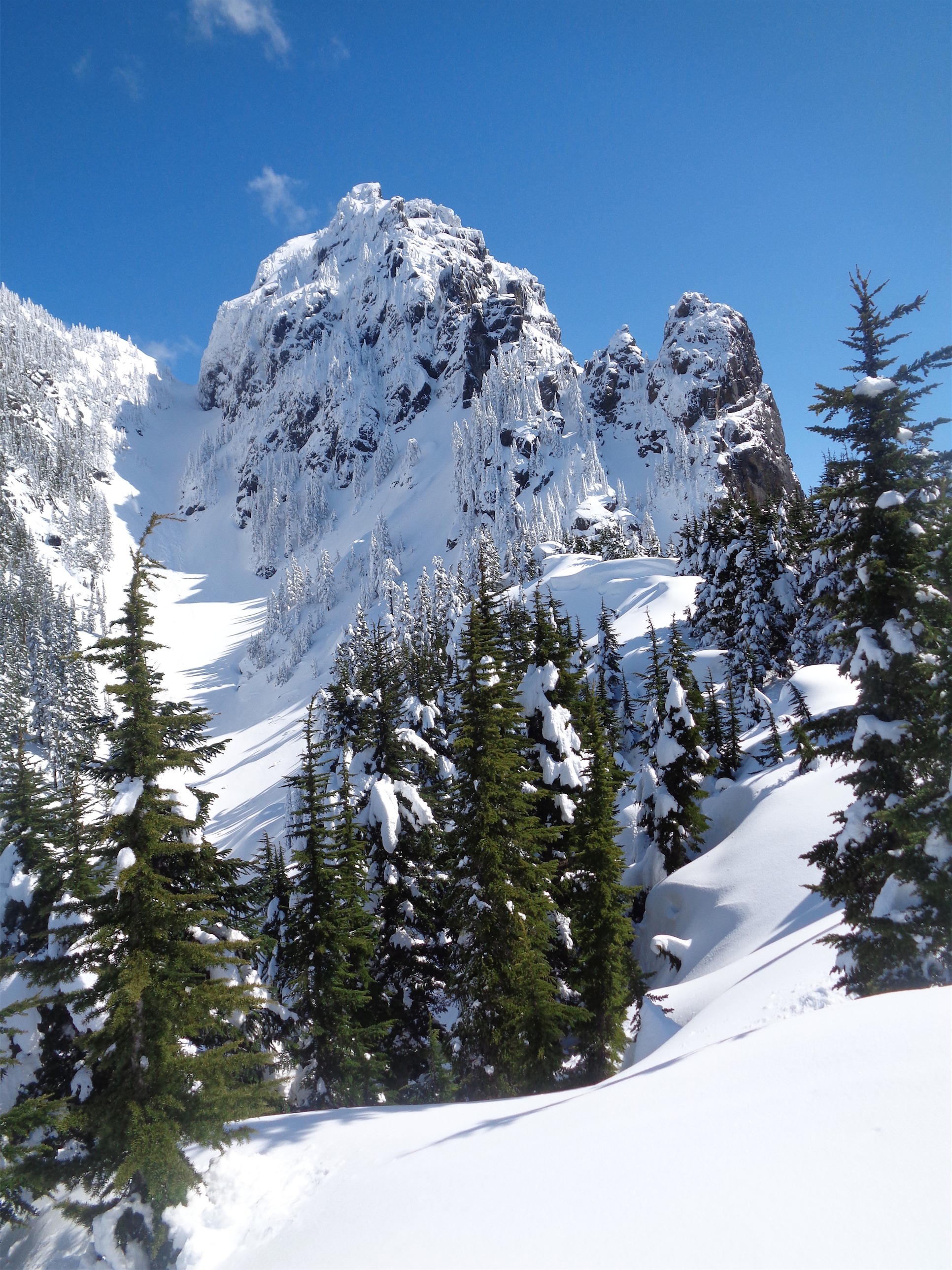
Looking out at Jim Hill Mountain
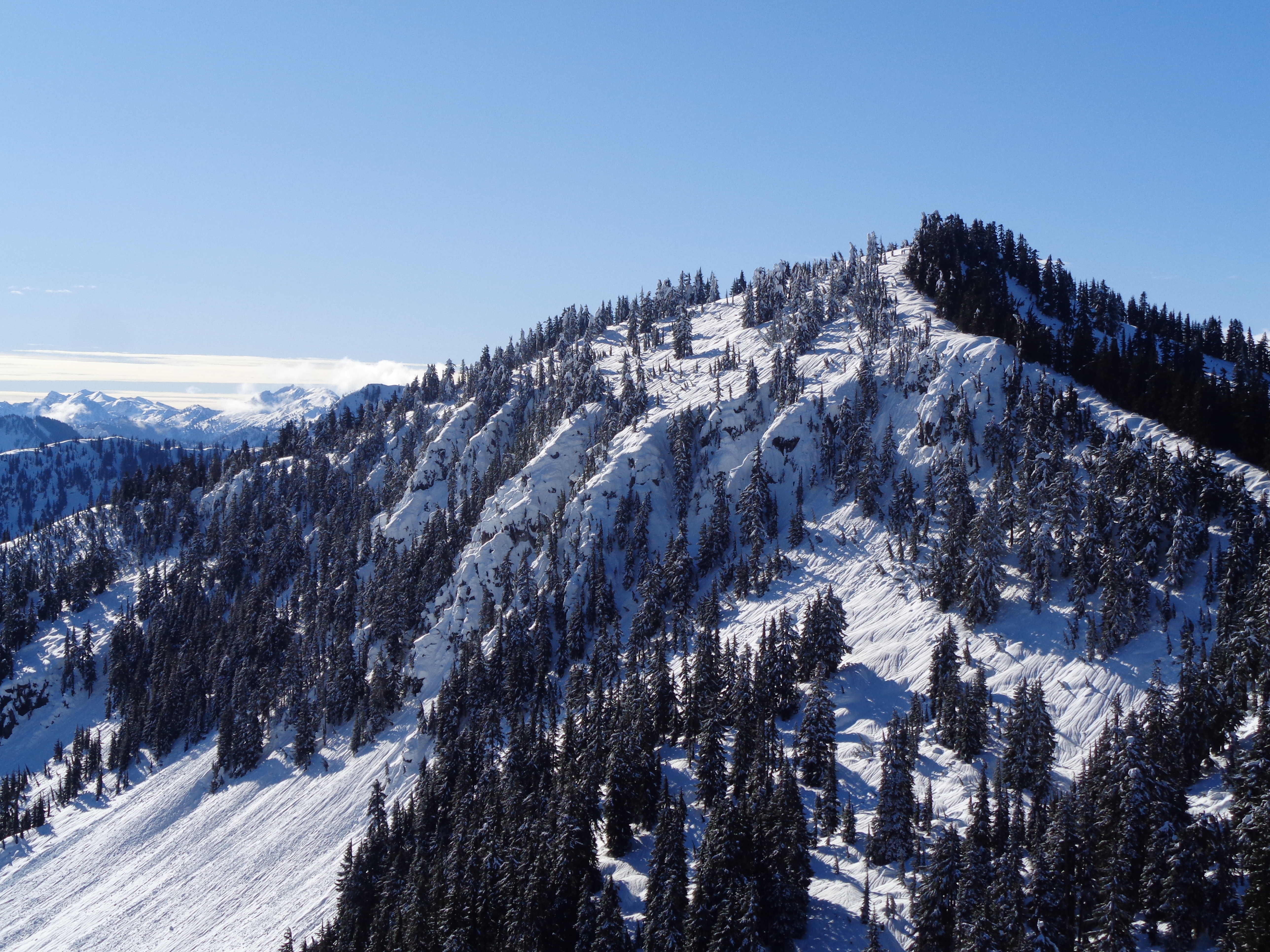
Rock Mountain, Howard Mountain
We continued down, I think I was giggling the entire time trying to find mini jumps along the ridge between trees. The skiing was just so surprisingly great. We followed our tracks back into the forest, where the powder continued. Trees were slightly thicker, but not enough to ruin the fun, arguably it was even more fun. Andy moved pretty quickly going downhill on snowshoes, figuring out how the sliding works and some mini glissades. The snow eventually thinned out and mixed with sticks and pine needles and barely covered logs and surprise rocks, but the trees were still sparse and the skiing was still prime I had my first and only wipeout trying to get enough speed to make it back over the mound that was between the railroad grade and the actual railroad, which resulted in me hitting a tree on the mound and slowly sliding backwards to rest on my ass on the railroad grade. It would have been easier to pop skis off and just walk up the hill, but I didn’t get 3,295ft of vert in just to walk the last 5 feet. I side stepped up that shit and skiied to the railroad.

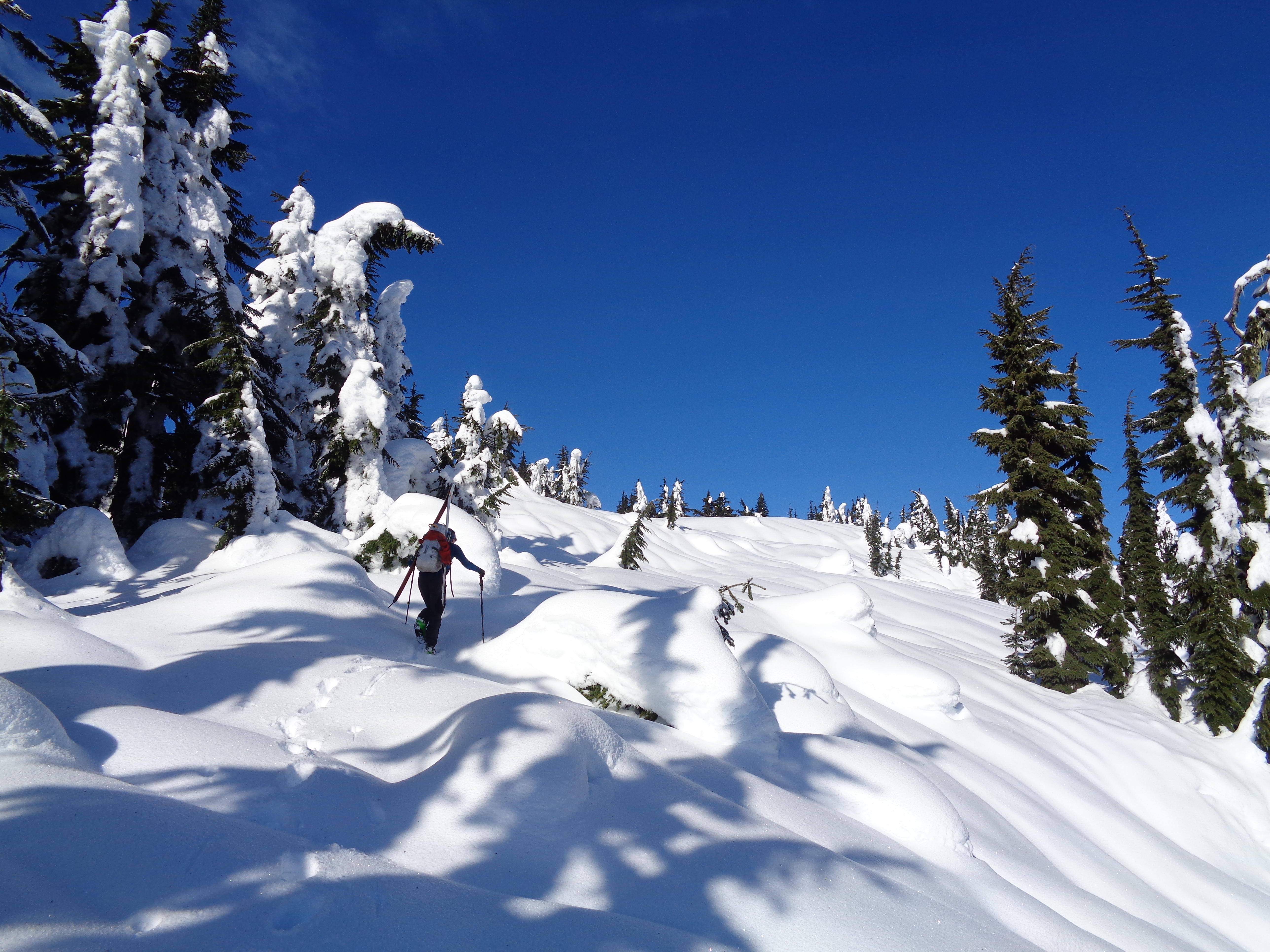
Starting out on great low angle powder
We walked back along the tracks and dropped down to the highway, where my car was waiting for us, ticket-free. I never know with those pullouts. Most are allowed but there are some that are restricted to maintenance vehicles. I have no idea where the skiiers or snowshoers that we saw parked, and we definitely had the best pull out. It’s on the left side of the highway if you’re driving east, just after a small overpass ~6 miles after Stevens Pass. I think there is another pullout further down where the skiiers parked (I joked that we should have switched starting locations) that would work for Arrowhead and cut off some of the railroad mileage, but never confirmed where. Either way, we were back at the car by 4pm, felt like we were the only ones up there, I got to listen to the wshhhhh of cold powder under my skis, Andy crushed his first snowshoe (despite coming off a cold!), and we didn’t even need an alpine start. Pretty rad for a half day trip.