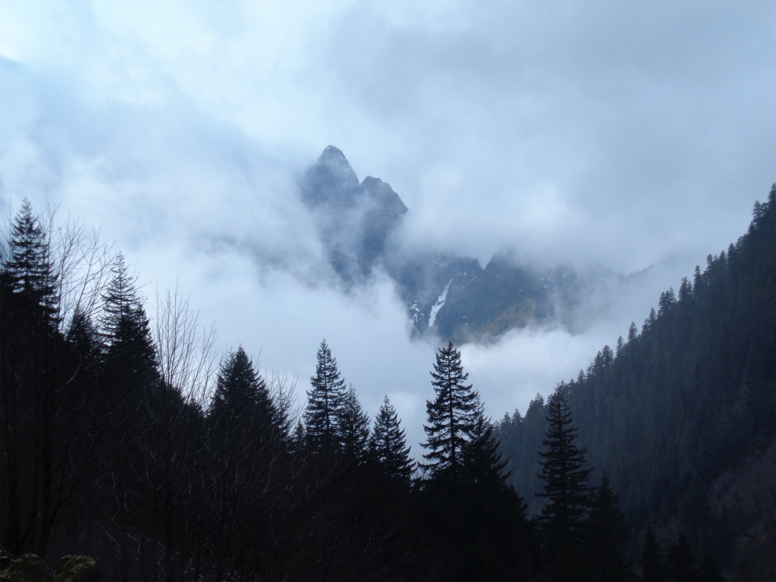
Back to the very first hike I did in Washington! I did it with Pattra and our mothers back in August (pre-blog era) and today had the chance to repeat it on a sunny day. Given how close it is to Seattle and how short it is, I’m surprised it isn’t more popular. But let’s keep it a secret, because I like solitude at the lake. Hiked 3/10/2015 – maybe I found solitude because it’s a Tuesday.

Heather Lake
- Distance: 4.6 miles
- Elevation: 1024ft gain, 2400 highest point
- Weather: 30’s and sunny to high 50’s and sunny
- Commute from Seattle: just over an hour, like 1:15
- Did I Trip: I nearly ate it like 20ft from the parking lot on the way back (so technically no)
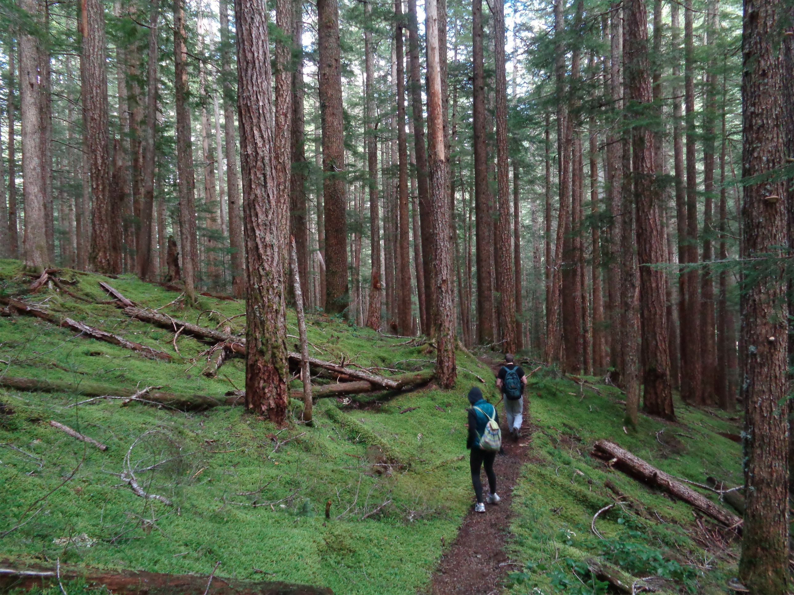
Jonathan didn’t want to do anything too ambitious, so I let go of my dream of hiking Green Mountain or Goat Lake and suggested Heather Lake, a much closer, short hike that I’ve been meaning to revisit for a while now. And I’m glad that’s what we ended up doing.

Enormous tree stump! Over 6ft tall
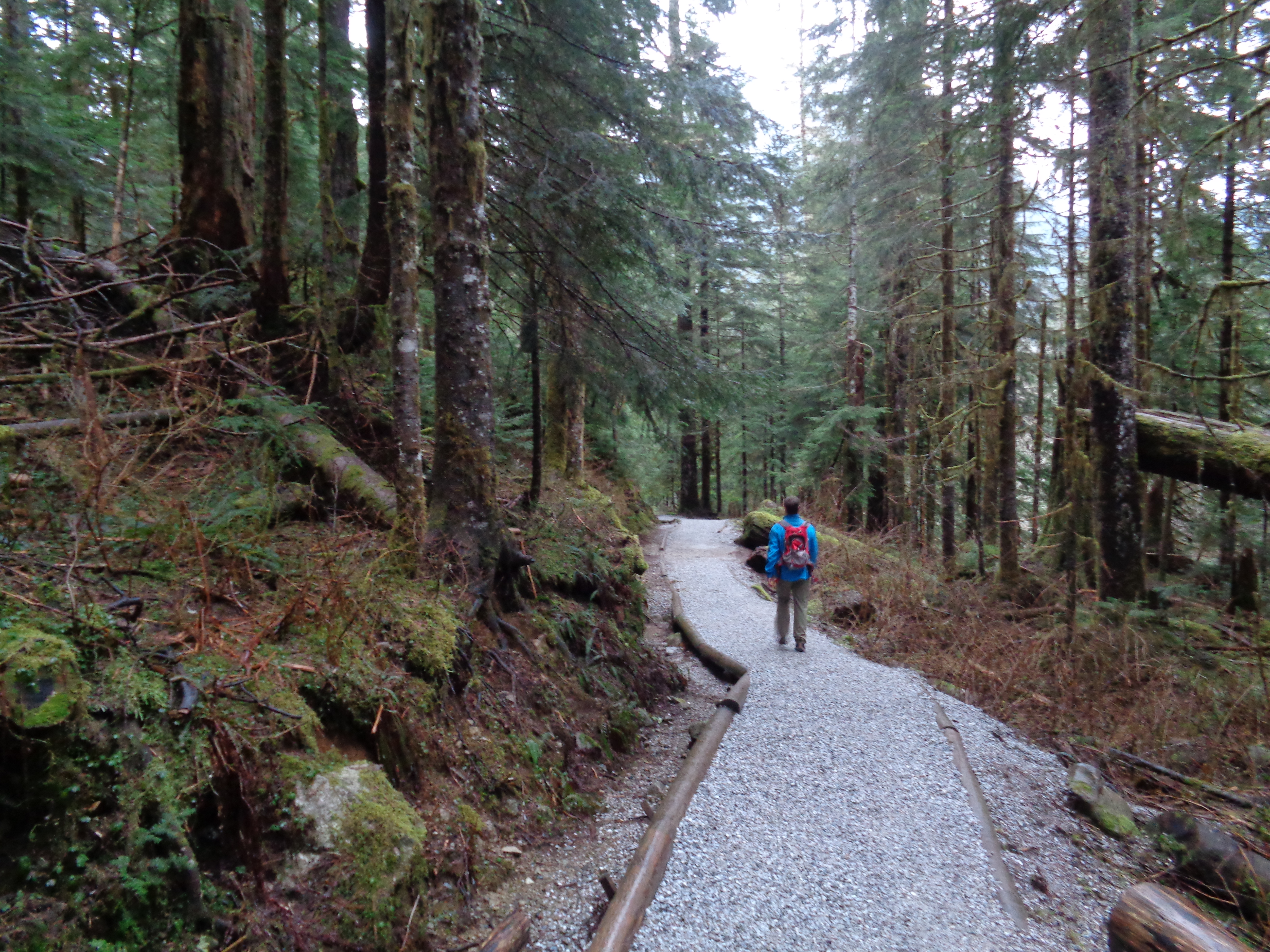
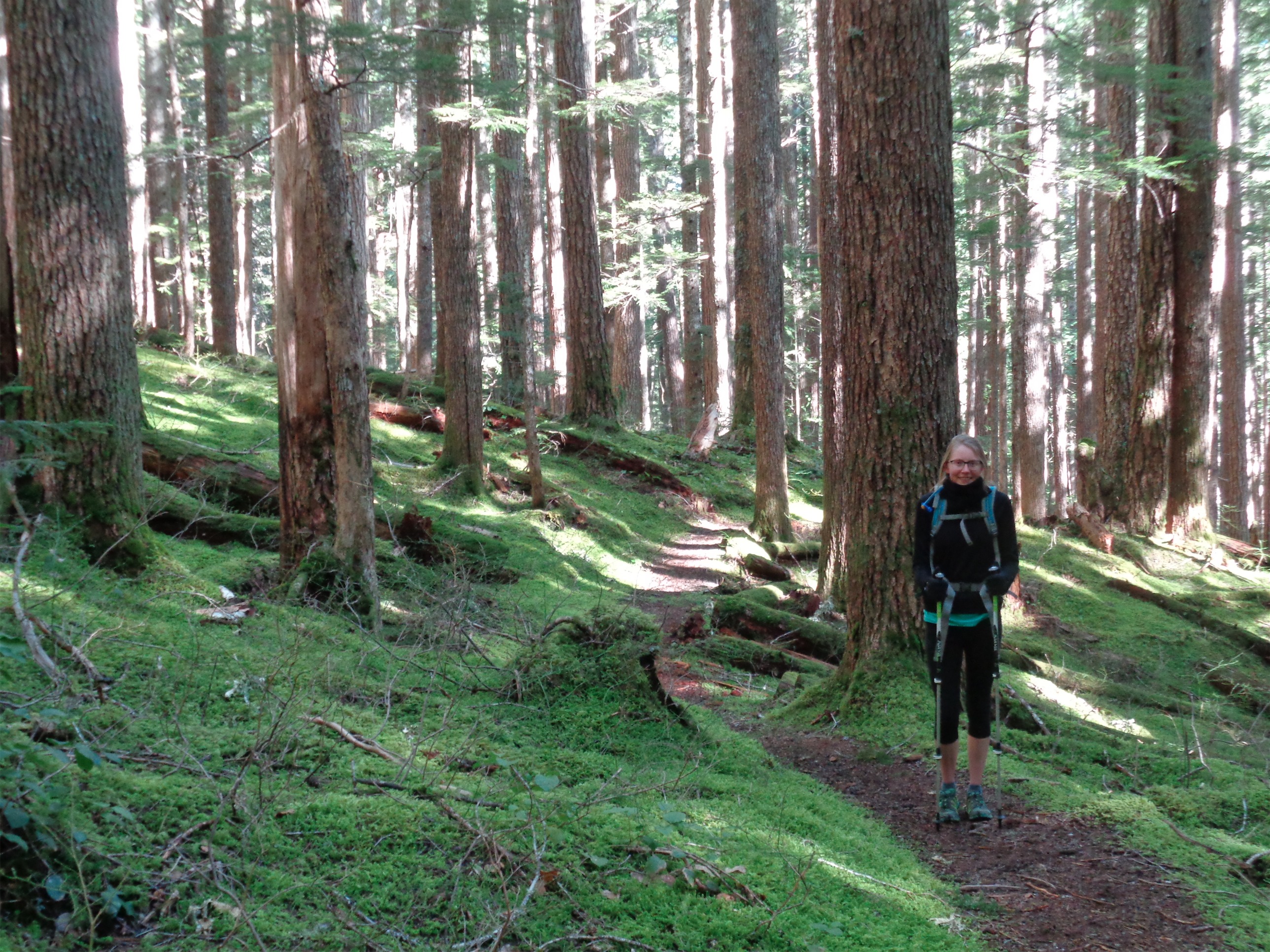
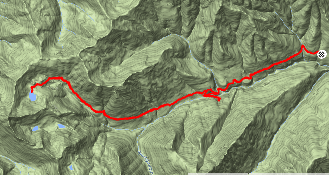
The road has a few potholes, which are even more noticeable in his 1989 honda civic than in my old Accord. But the Heather Lake trailhead is close to the highway, and shortly we were hopping out of the car getting out stuff together. I forgot to start the Strava app, so this will have to go without a map.
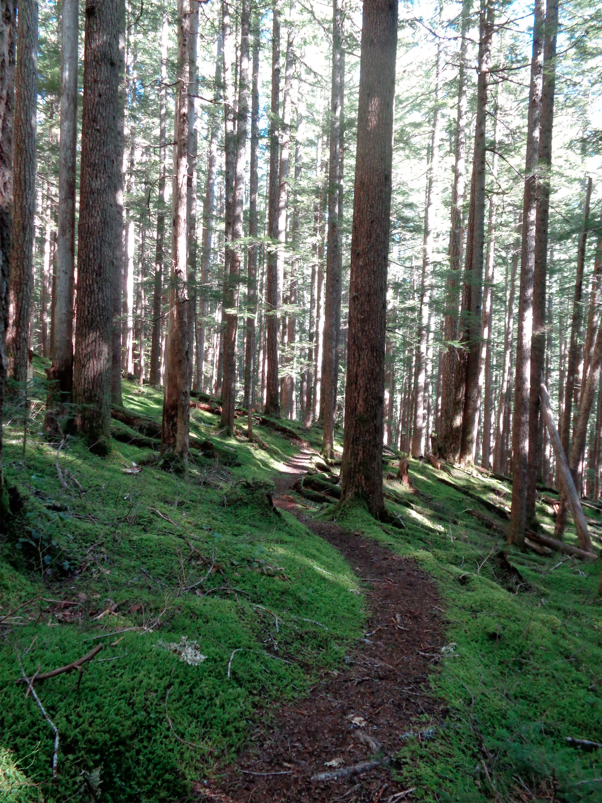
The trail is straightforward. There were a few fallen trees and some slick rocks, but nothing unmanageable. What struck me was how much less green it was compared to August! “Duh,” you might be saying, but I had started to assume that Washington just never had winter. It was still damn green, don’t get me wrong. But in August, it was mind blowingly green and alive. Or maybe I was just more impressed back then because I was new, and now my standards have risen.
I did learn that there’s a name for things like the stump to the left that has trees growing out of it. “Nurse logs!” Any sort of log that’s giving life to new trees, and there were plenty of those on this hike. Most of which were huge, like over 6 feet tall and 8 feet wide huge.

Snack rock of choice
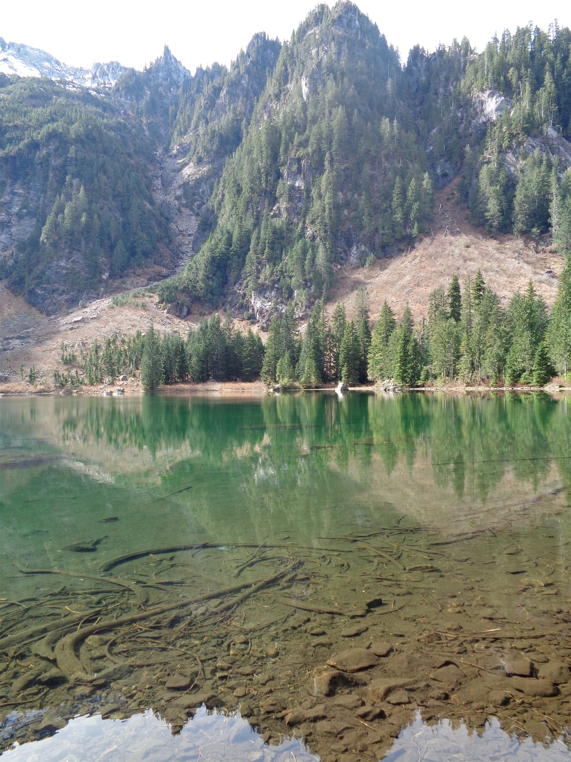
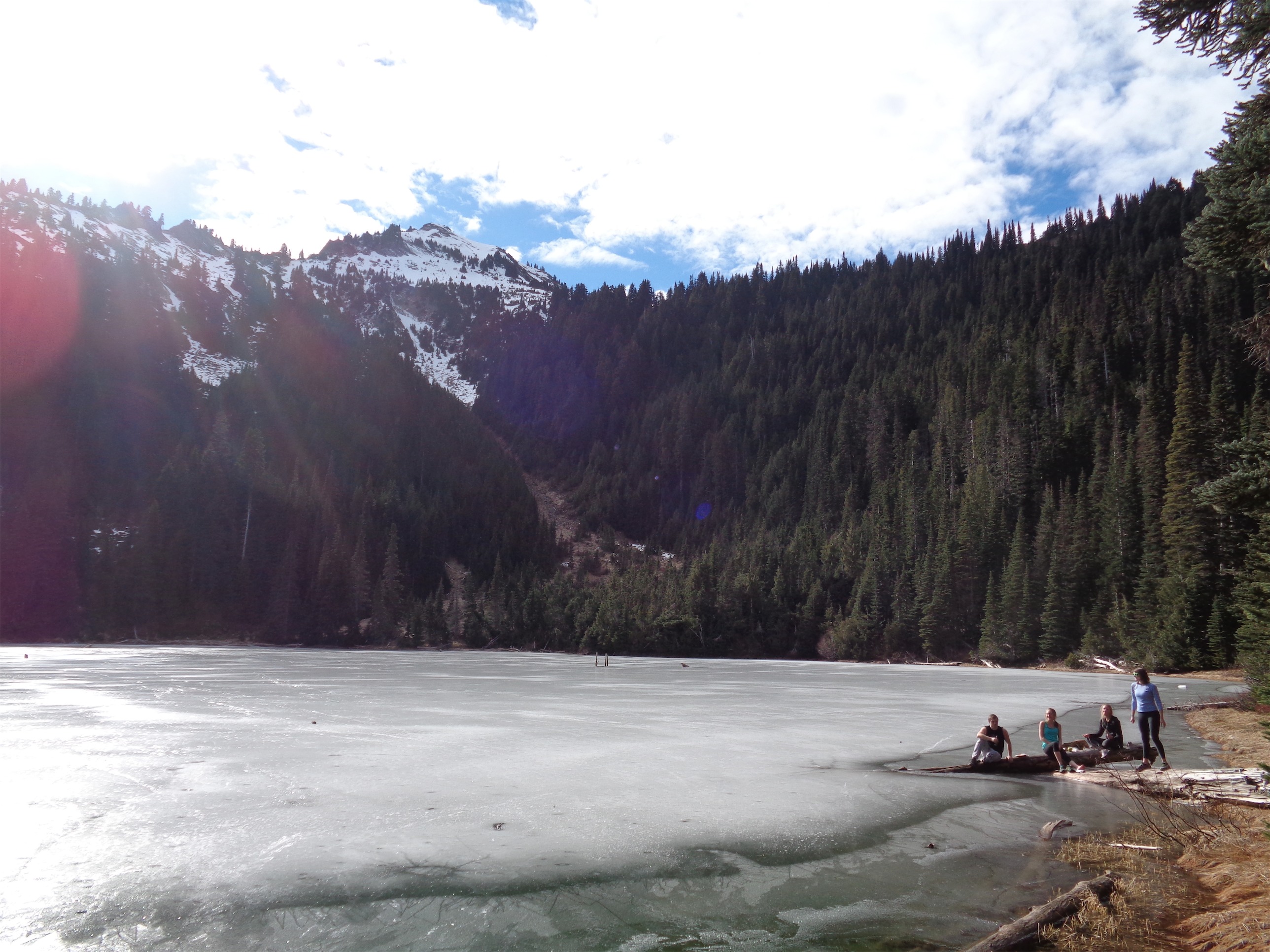
We were at the lake surprisingly soon, and decided to stop for a snack. Last time I was here, I went left to hte closest “beach” and stopped there. So this time, we went right. Turns out, the trail goes all the way around the lake! With plenty of offshoots to explore, rocks to climb, and views of the lake. We set up on a rock next to the water first, took a few pictures, and had snacks. When the sun slipped behind one of the peaks, the temperature dropped a good ten degrees and we had to get moving again.
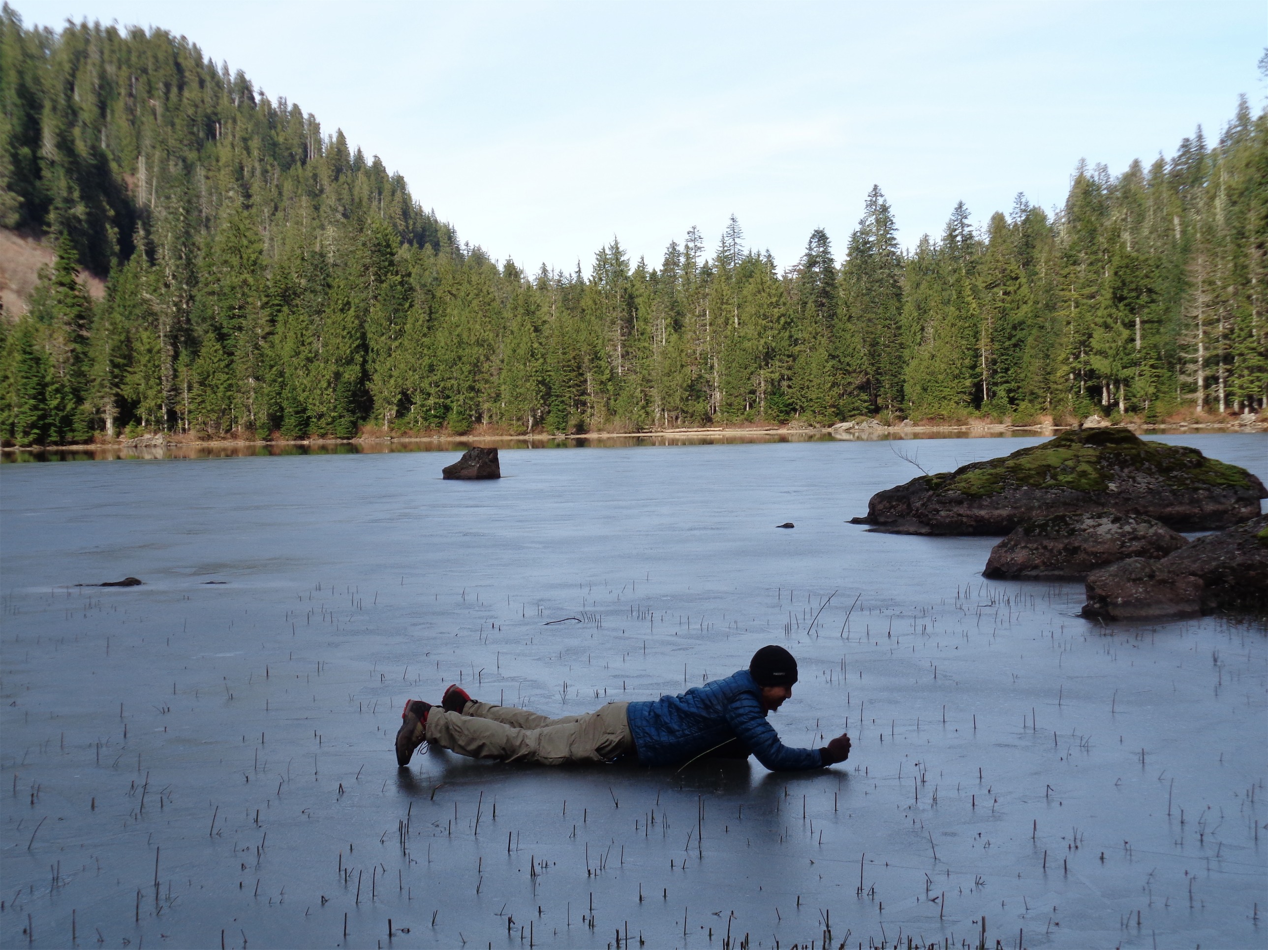
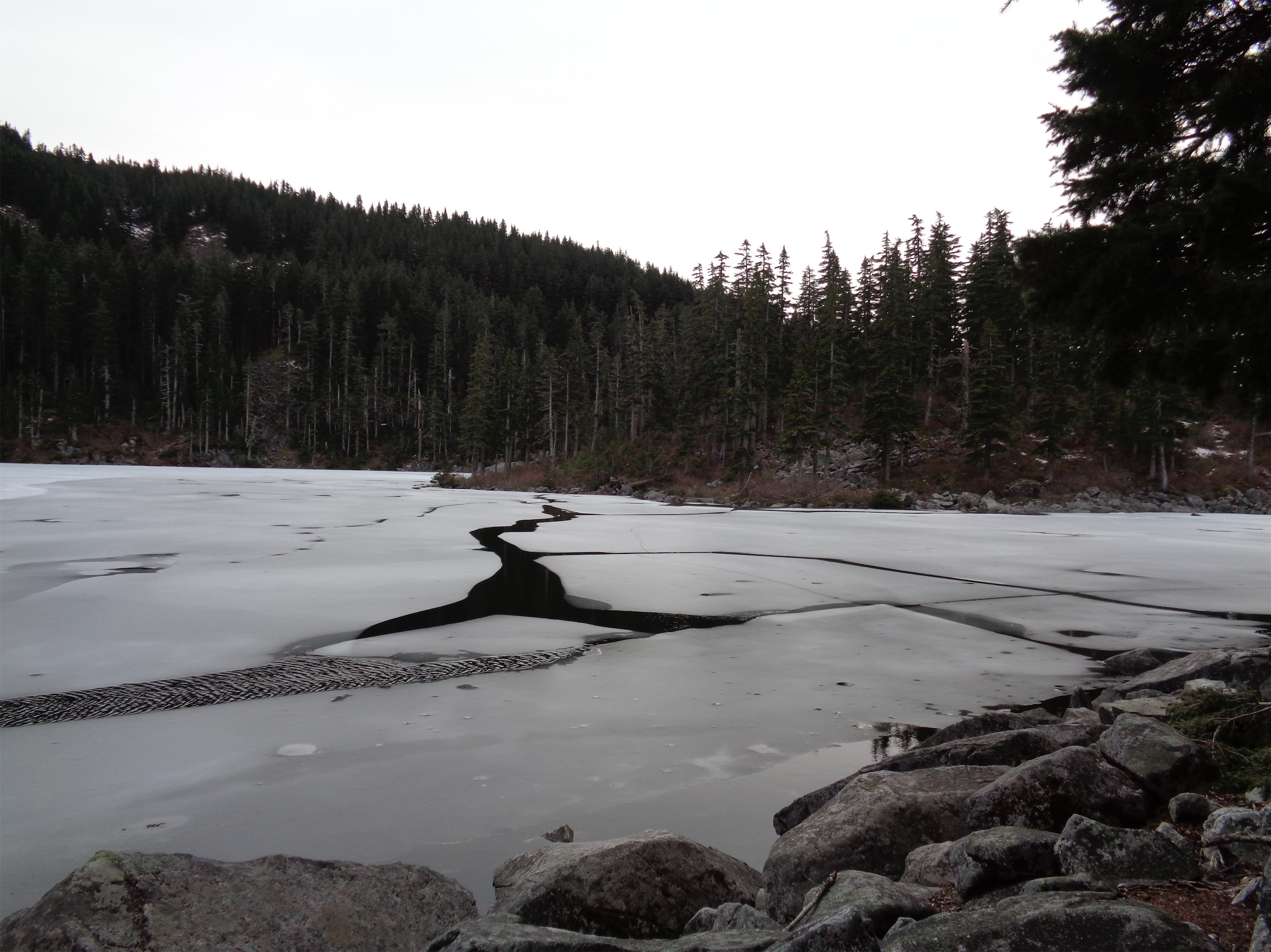
Sliding on the ice
We walked around to the back of the lake. The shady side. The winter side! This half was frozen, enough that we could walk on it. I’ll never suggest that you try it, but I’m allowed to be young and reckless on occasion. We slid around, taking pictures and skating on our shoes and marveling at the air bubbles trapped in the ice. My inner 5 year old was having a freaking blast. Winter!! Or as close as you can get here. Should have brought my skates!

The cracks I made…
Unfortunately, all good things must come to an end: half an hour later, with the sun coming out from behind the peak again, we were 20 feet from shore and heard that odd ringing noise that ice makes when a crack shoots through it. And again. And I looked down, and the crack was between my boots. Wait. Shit. GREAT. I froze. And then shuffled backwards. We figured that was a good sign to get back to land.

Another frozen area with rocks strewn everywhere
If you look closely at the picture of Jonathan sliding, you can see that the lower foot of the rocks is brown. I’m guessing this is the water line. As in, the water is usually a foot higher. Here’s a slightly better picture to show it.

Water level lower than usual, according to the rocks
All speculation, but it would explain all the still pools and lack of streams cascading down the mountain. It was far more wet in August, which I didn’t expect. To be fair, it was raining when we went back then, but that shouldn’t make that much of a difference with stream depth since it was a single rainy day, not a week of rain.

Fish!! In the center, just above the bigger rock in the foreground. Tough to see, but I tried.
There are a few campsites around the lake, and like I said, keep it a secret because it’s got to be an amazing place to camp. Just over an hour from Seattle, and two miles to be in the middle of the mountains near a gorgeous blue lake? Jeez. We had round 2 of snacks and sandwiches and headed back down the trail. We stopped to grab some water from a stream, but returned to the parking lot faster than we were on the way up. We spent probably two hours at the lake, making the round trip something like 4-5 hours.
Could be a summer pic but nope – March!
But I mean we had a winter lake and a summer lake both in one, so of course it took us a while. I could have freaking swam in the summer half, it was that warm.

Frost flowers!
Oh! Frost flowers!! I forgot about the frost flowers! Ahh! I’ve never seen anything like them in my life. I’ll try not to bombard you with pictures, but they were these unbelievably delicate ice formations that were maybe the size of a quarter at most. Somehow, petals and everything had formed. Incredible. I got a few pictures of some individuals, but they were everywhere in this one shady area. Very cool.
Guys, this is a great hike. Seriously, I’m amazed at how much I like it, because it’s short, simple, and close to Seattle, and that’s not usually my style. But if you need a quick excursion, or the knees are hurting, or you have kids to take along, you’ve got to check this one out. It’s like lake-22-lite, and more secret, especially this time of year.
However, hikers beware! Mosquito season has begun, apparently. I’ve been told that compared to summers in Maine, bugs out here aren’t a problem at all. But I’ll be the judge of that. Mosquitoes don’t really show any interest in me, but Jonathan dealt with a few on the hike down. And if they’re starting this early… ugh. The water levels in the lake were very low and the streams we passed were barely flowing, meaning lots of stagnant pools. Aka mosquito heaven. Have fun, folks. Get that cancer-causing 100% deet and go to town.

Sun hitting part of the lake
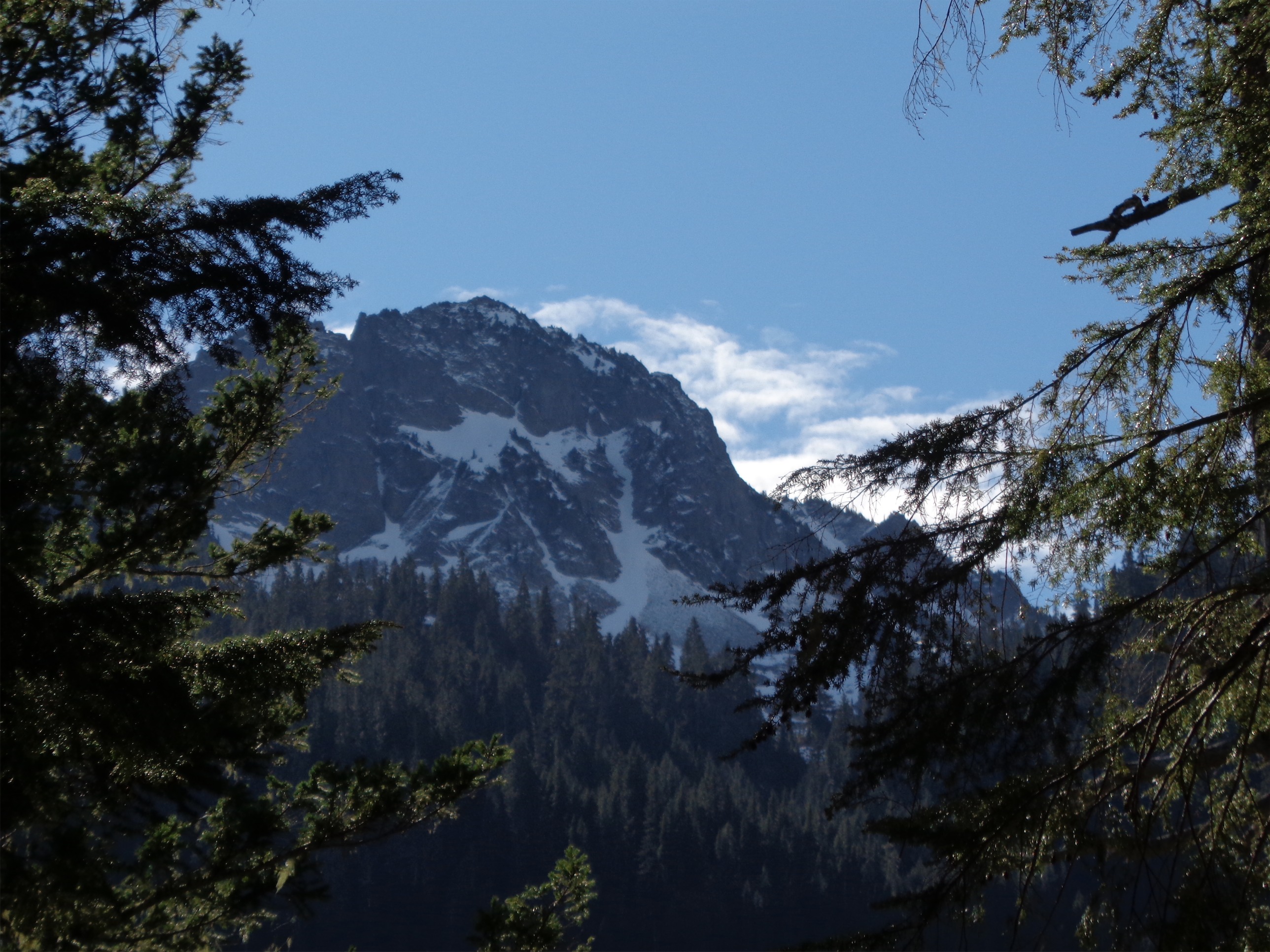
Bonus picture below: view from where I stood in August, except sunnier with more color. I was told there would be tons of snow melting around the lake in the spring (even the wta page has snow in the background) but not this year! Hopefully in a bit I’ll be able to scrounge a picture up from August so you can all see how different it is. I forget how amazing lakes are in the sunlight.

Unreal color, same place where I stood back in August

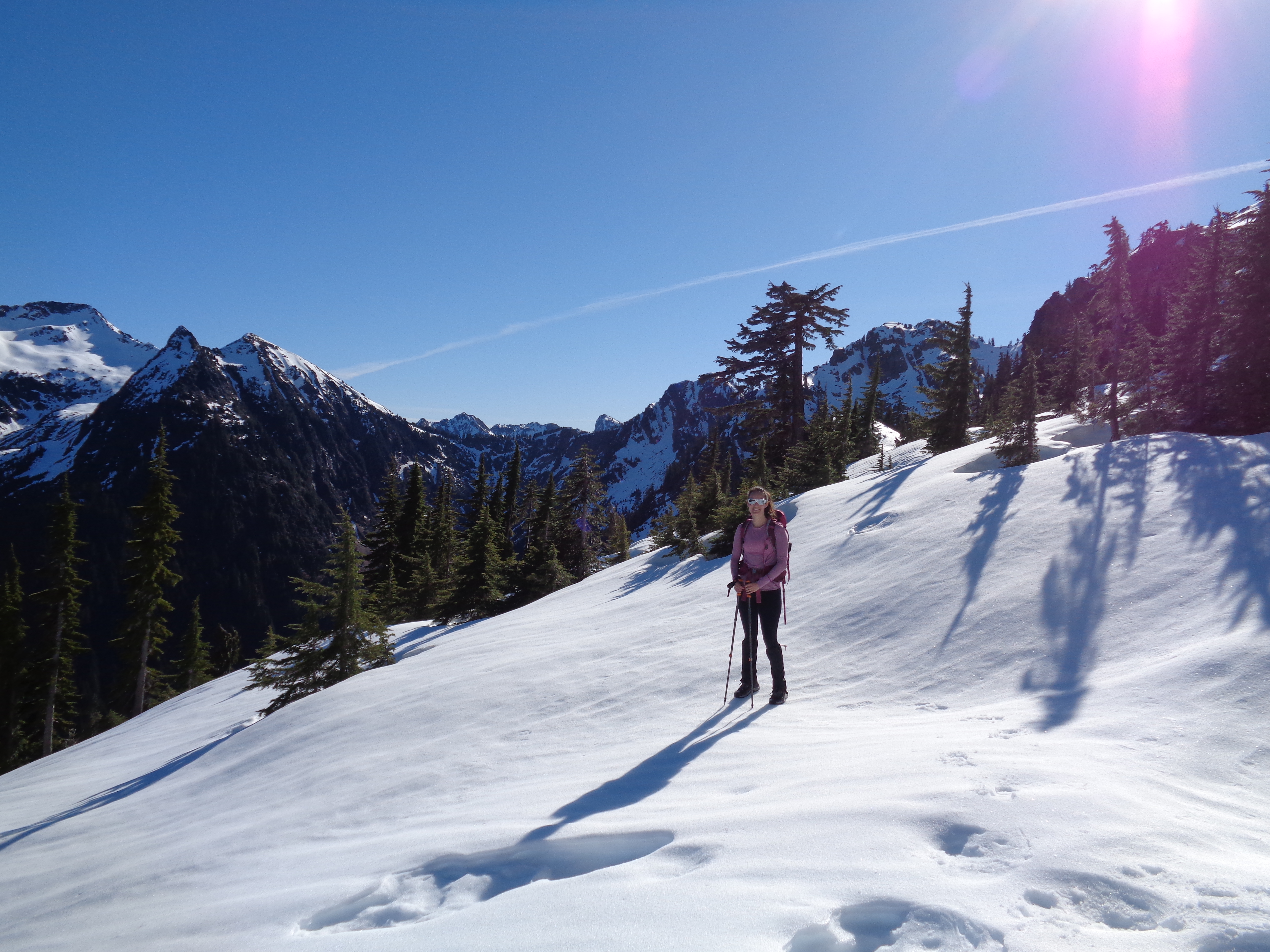
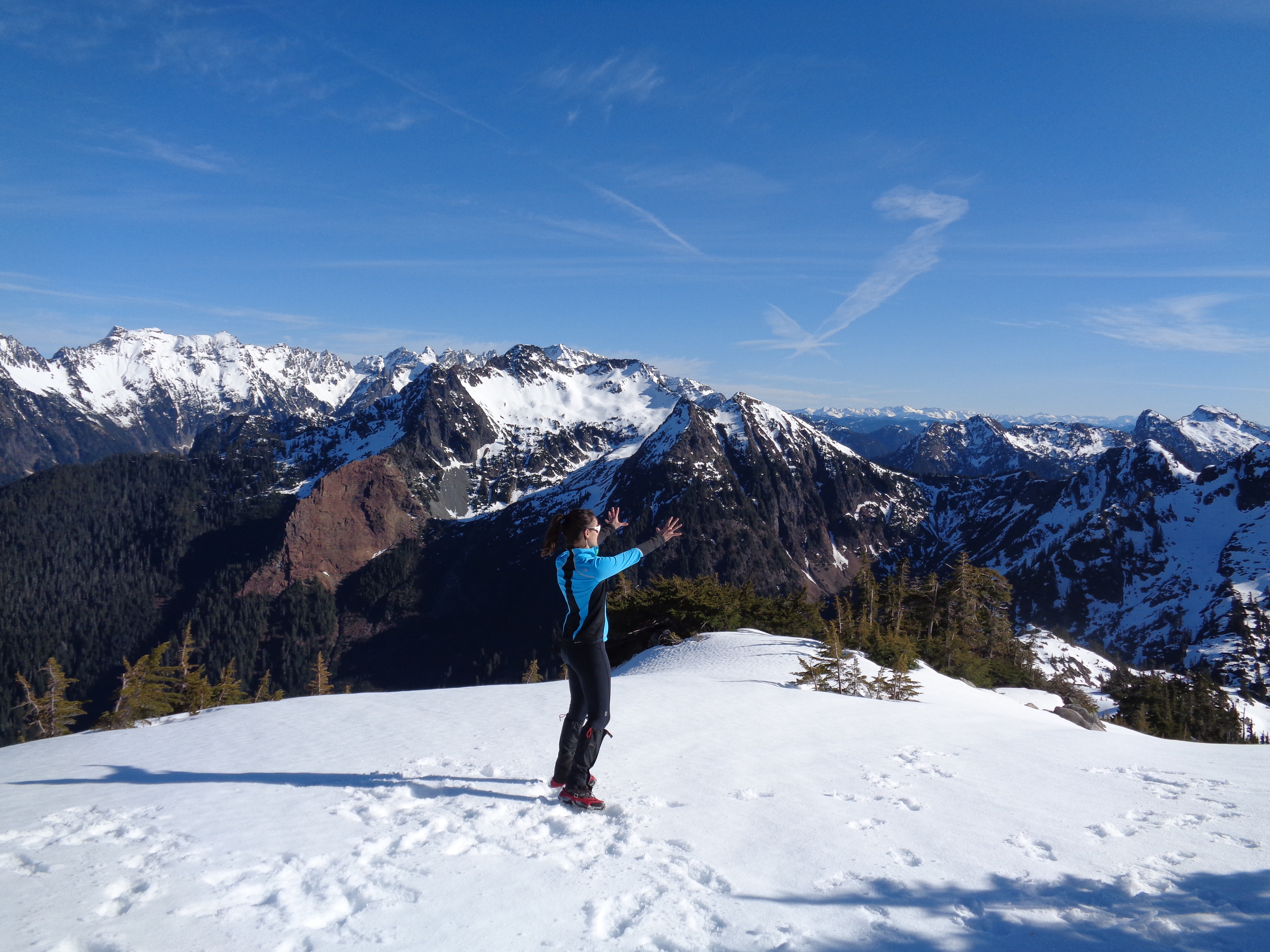
![This is what pure joy looks like [taken by Surafel]](https://havetent.com/wp-content/uploads/2015/02/10995959_10203853107111307_6943306165412916428_o.jpg)


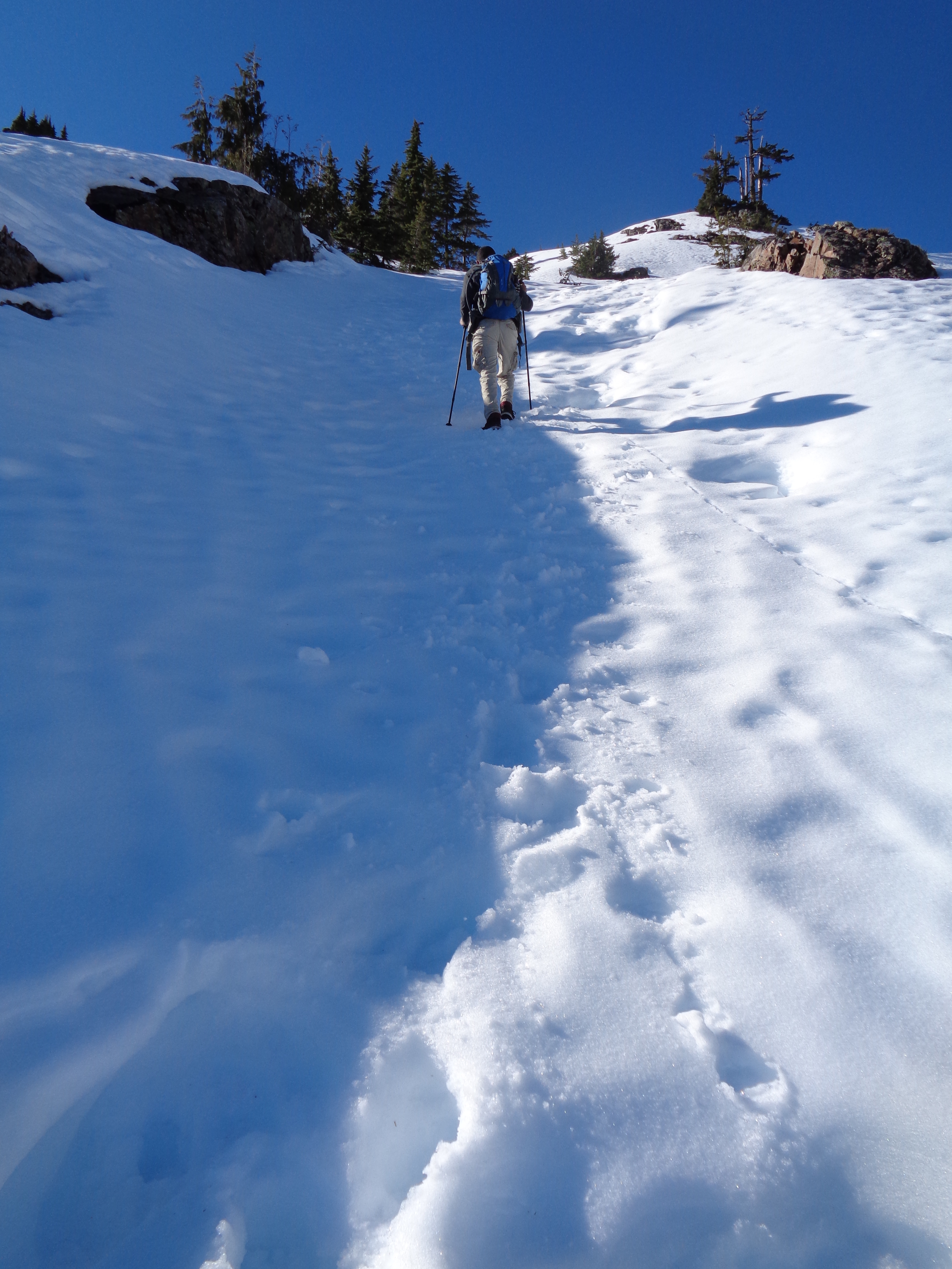
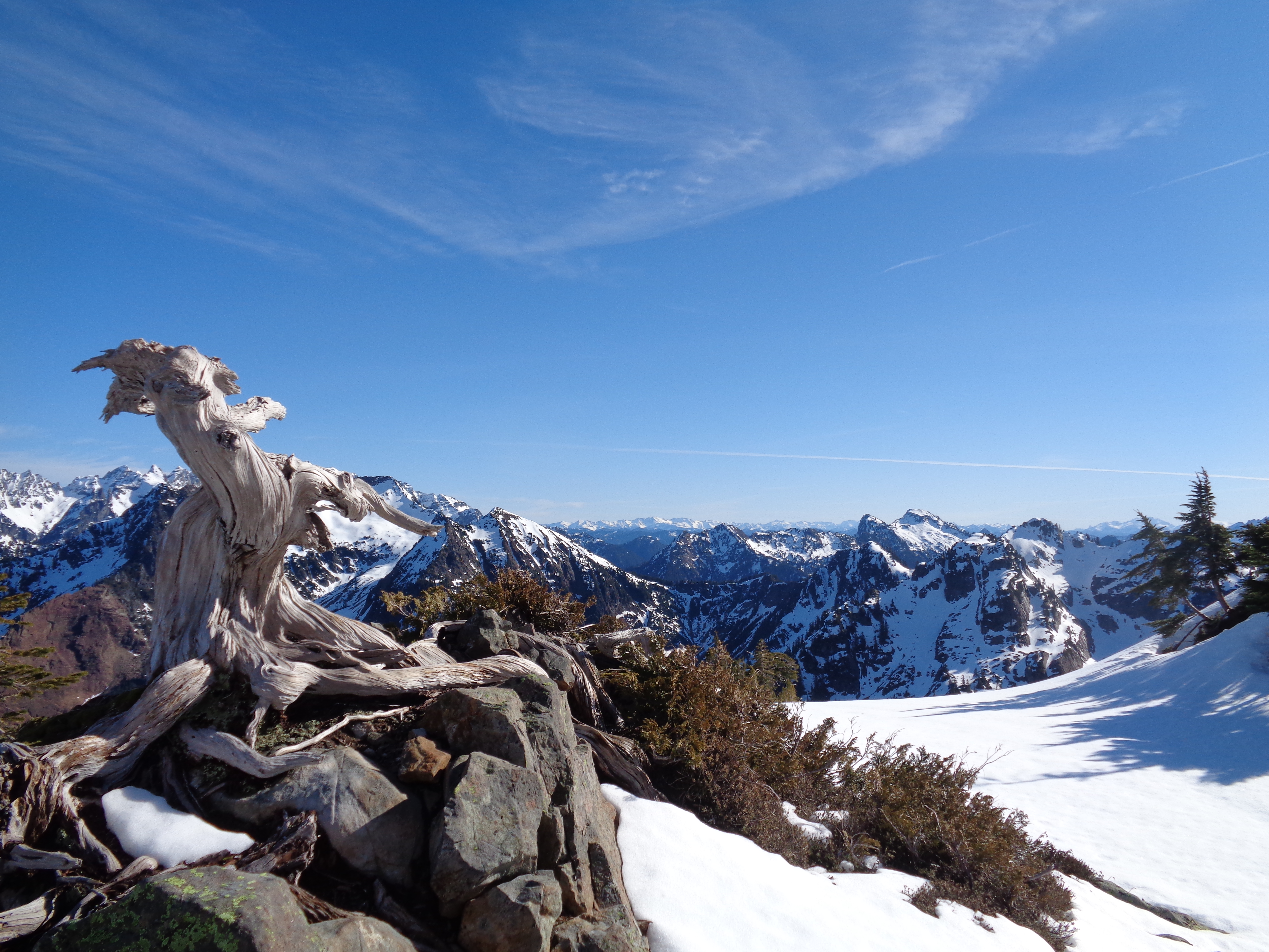
![Descending [taken by Surafel]](https://havetent.com/wp-content/uploads/2015/02/10403805_10203853105351263_5332851316975867245_o.jpg)