Mt. Stuart (phone photo)
I’m gonna go ahead and say this is the hike of the month. It had everything. It required a car with four wheel drive and high clearance. You know how much I like my car. Spikes, ice axe, navigation (well, kind of) tea, moon cheese, excessive photography. Plenty of postholing, slipping, negotiation steep slopes/short scrambles, wet feet. Sunburned nostrils. And of course, a big. Freaking. Mountain. Right in your face. As Surafel put it, “nice to meet you, Mt. Stuart!”

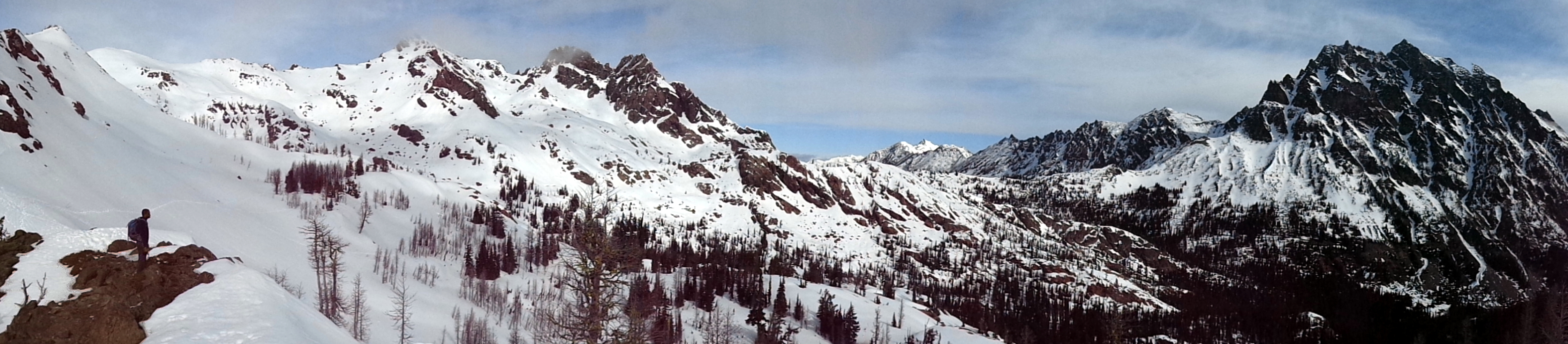
Surafel looking at Lake Ingalls. Ingalls peaks off screen to the left, Jack Ridge center, Stuart on the right.
- Distance: 9 miles (we did 7.7, “winter route”)
- Elevation: 2500ft gain, 6500 highest point
- Weather: 50’s and sunny
- Commute from Seattle: 2:30 without traffic
- Did I Trip: Postholed to my thighs, fell back and sat, but I guess technically… I did not. Ha!

Surafel with Esmerelda Peaks in the background
I almost said no to this hike. I almost. Said. No. I wasn’t sure about weather, or snow pack, or road conditions. But I though to hell with it, I’ll just do something else around there if everything fails. Hiked March 30th, 2015. And you know what? It worked out. And even if it hadn’t, at least sunrise driving through Snoqualmie Pass was stunning in itself. Shit, someone tell me how to fit 33 pictures into a blog post.
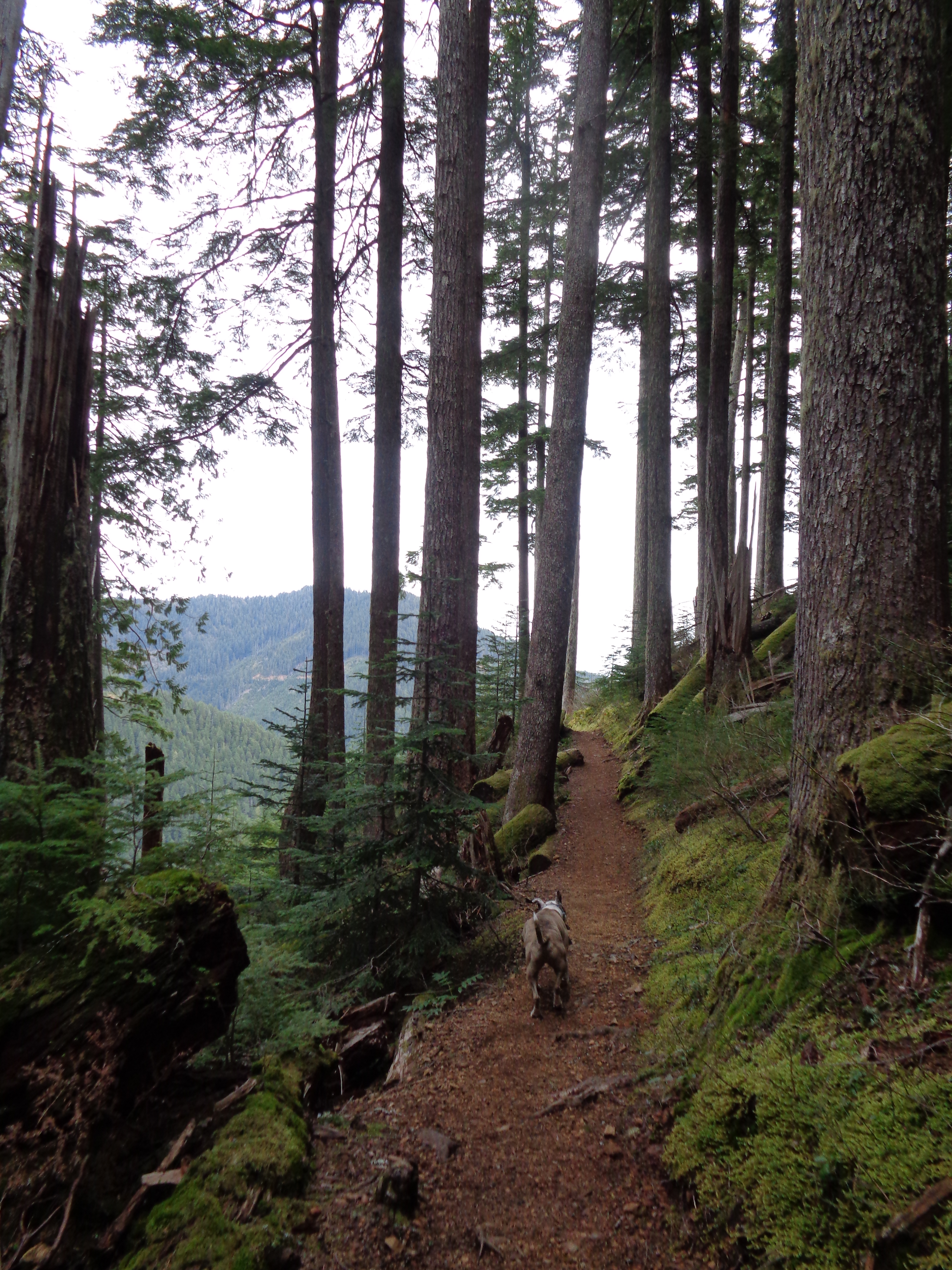
It’s a drive. The road to the trailhead was impassable with a low clearance car. Nevermind potholes, there’s a small creek that has built itself a 12″ tall riverbank across the road, and a rock slide close to the parking lot. Oh, and patches of snow and ice, though those were melting on the way out. I reached the trailhead around 8:15am, and there was Surafel, ready to go! Most of my stuff was already packed, so I hopped out, grabbed my poles, and we were off.

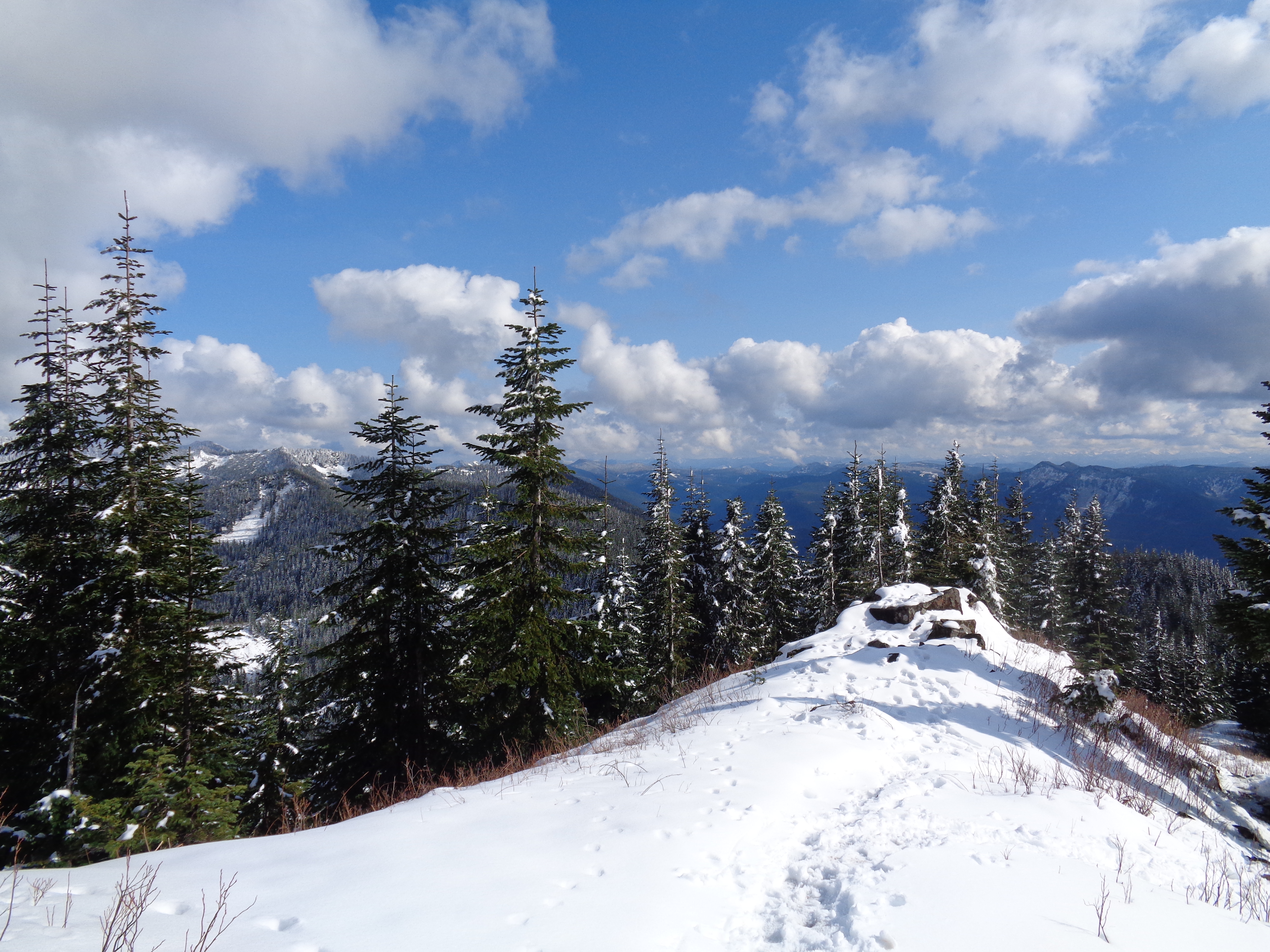
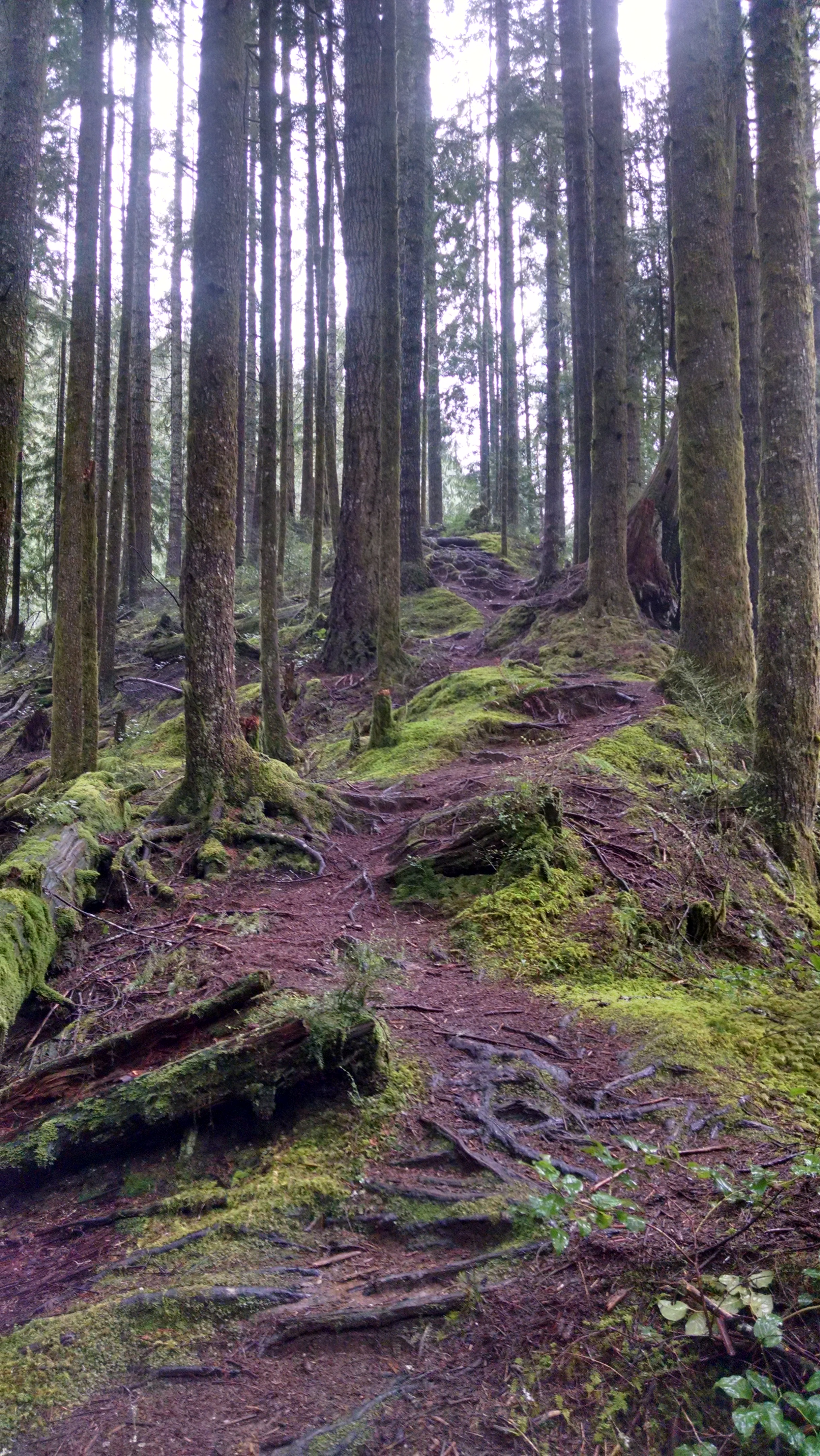
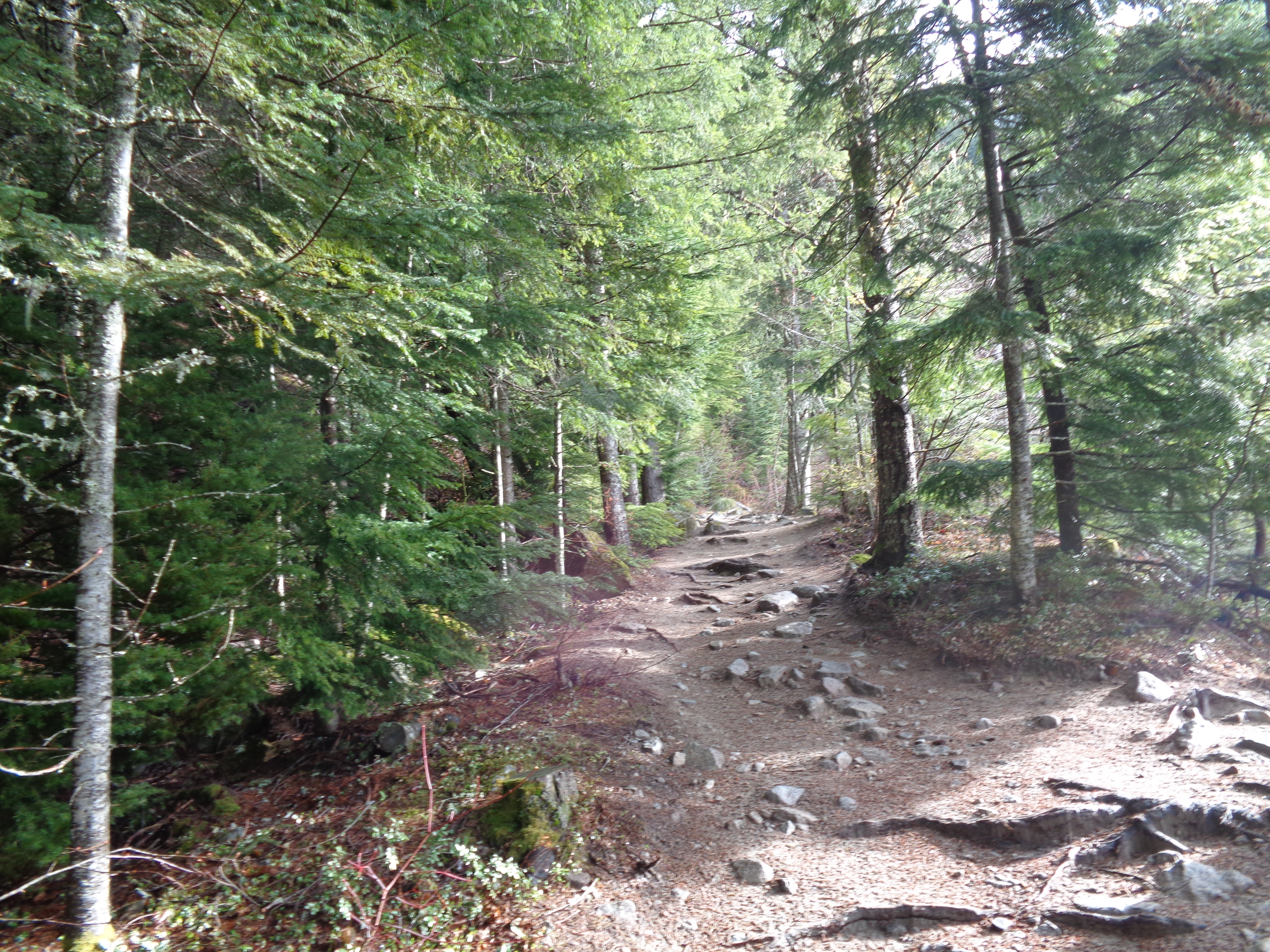
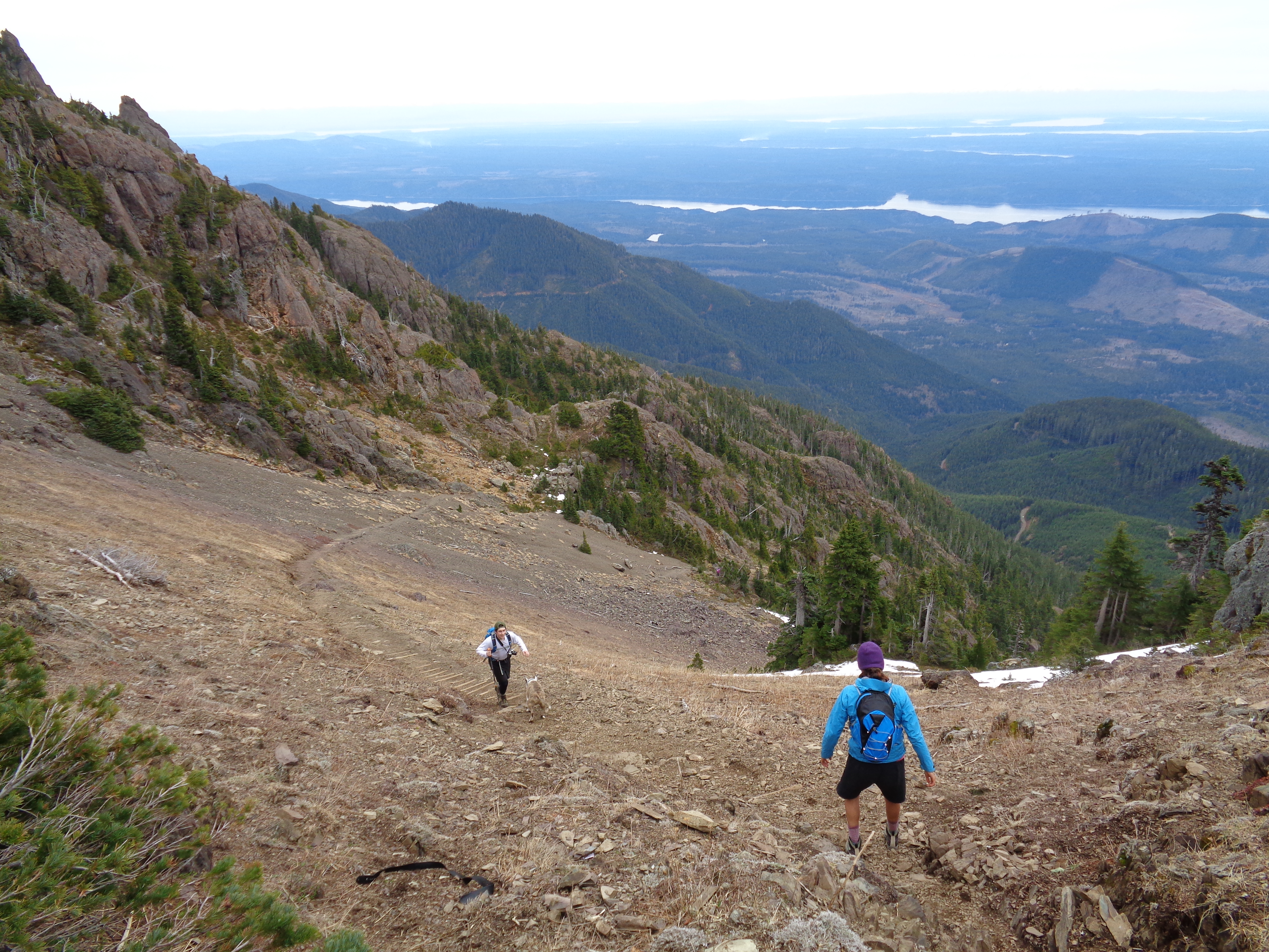
Nearly out of the trees
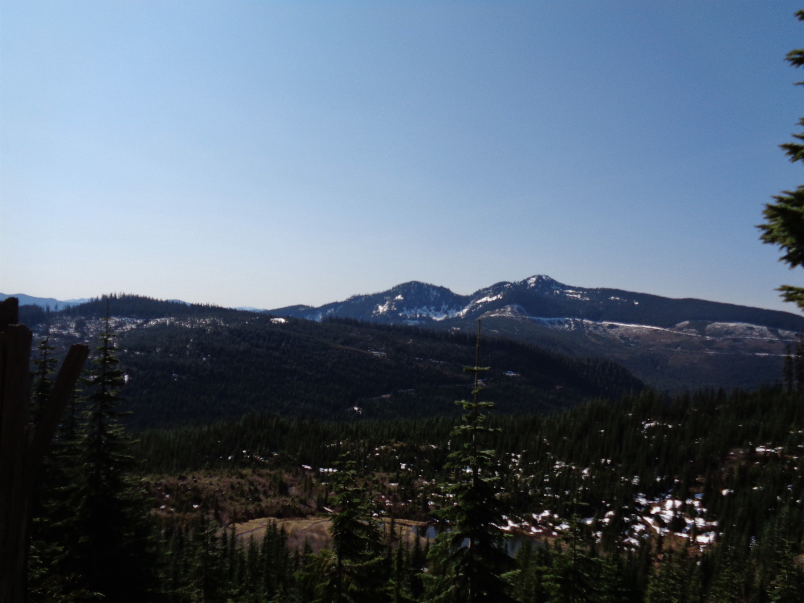
The summer trail lasted maybe a quarter of a mile before turning to snow. We followed footprints from a previous hiker (who postholed EVERYWHERE) and cut straight up through the trees. This is where we cut mileage off of the summer trail. The boot path was pretty obvious up until the basin. The north face of Esmerelda peaks was covered in snow, which looked amazing on the way up. Until we started getting above it.. and then it looked less impressive. And we kept going up.
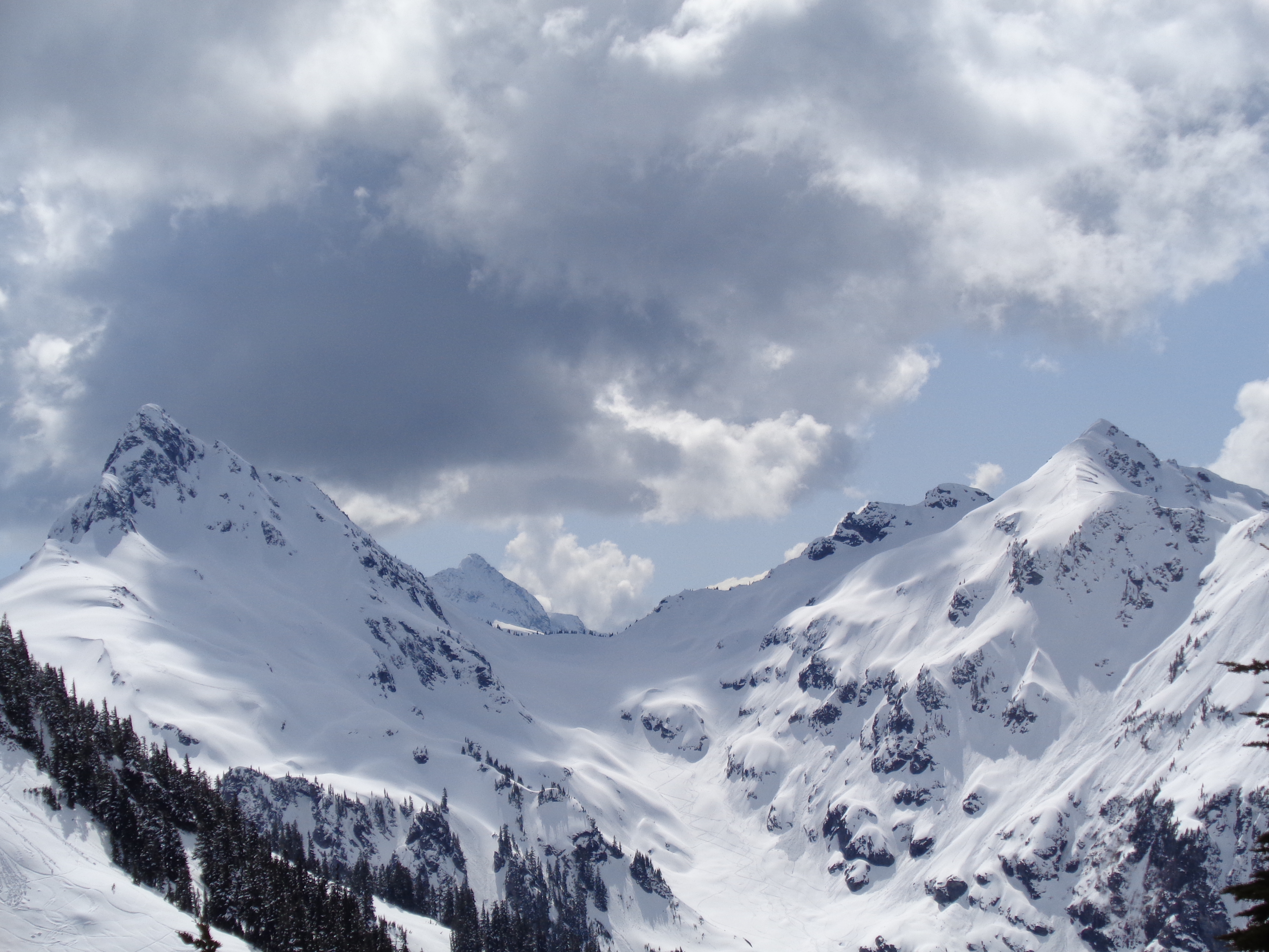
The snowpack was pretty well consolidated, and firm on the way up. We were mostly in shade which helped, and it was only mid morning, so it hadn’t been too warm. I suggested possibly aiming for Ingalls Peak (the south summit) to Surafel, and we decided to make a game time decision based on conditions in the basin. There was one small river crossing that involved descending a steep slope, but it wasn’t too menacing. Interesting how the snow on one side was completely melted, but not on the other. Adams and Rainier start to come into view if it’s clear enough, and damn. Just wait until you get to the ridge.

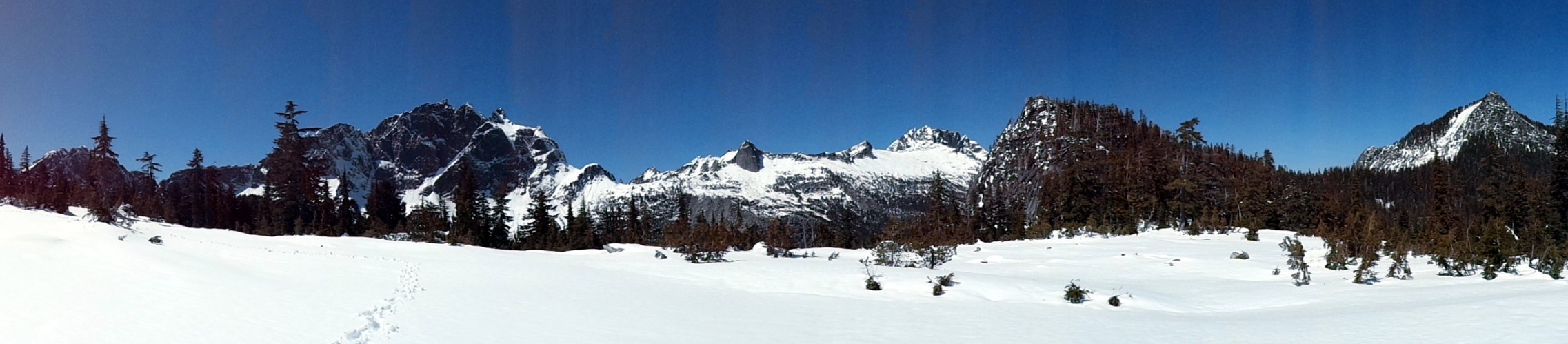
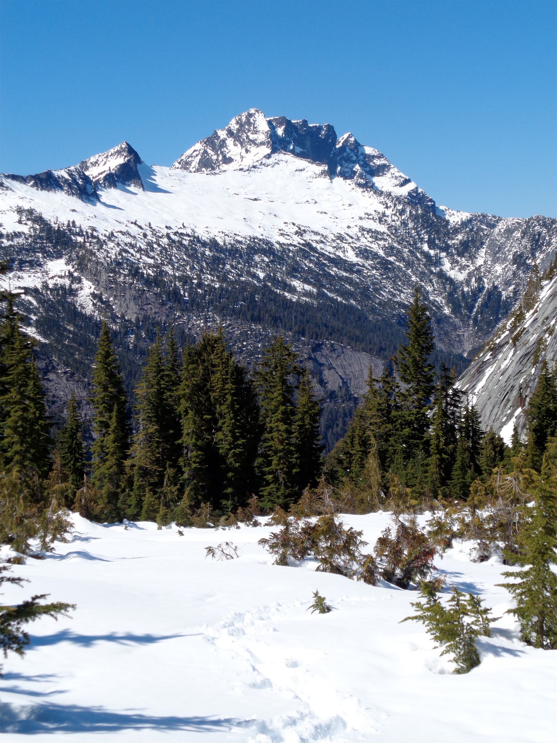
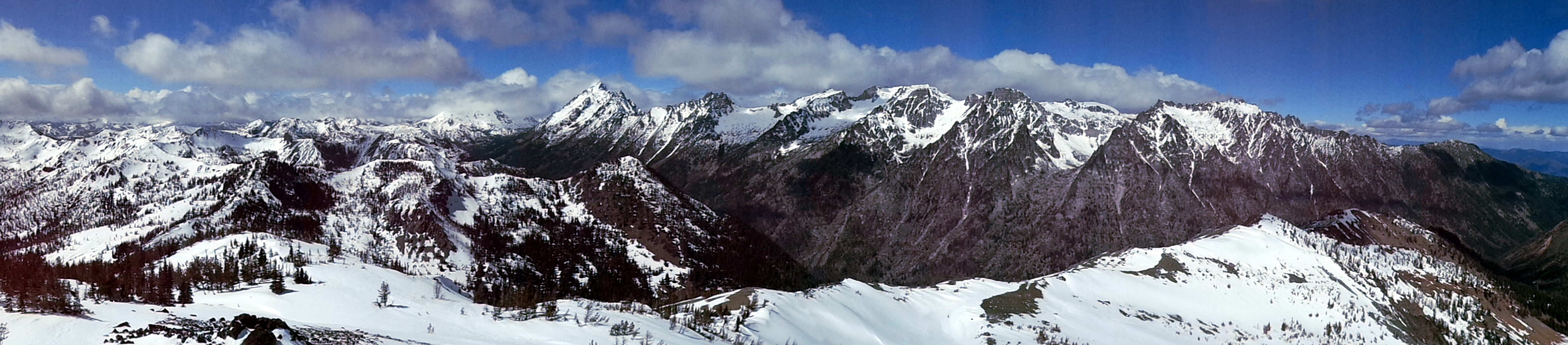
Panorama from where we gained the ridge, Stuart on the right, Ingalls in the sun on the left with Surafel enjoying the view

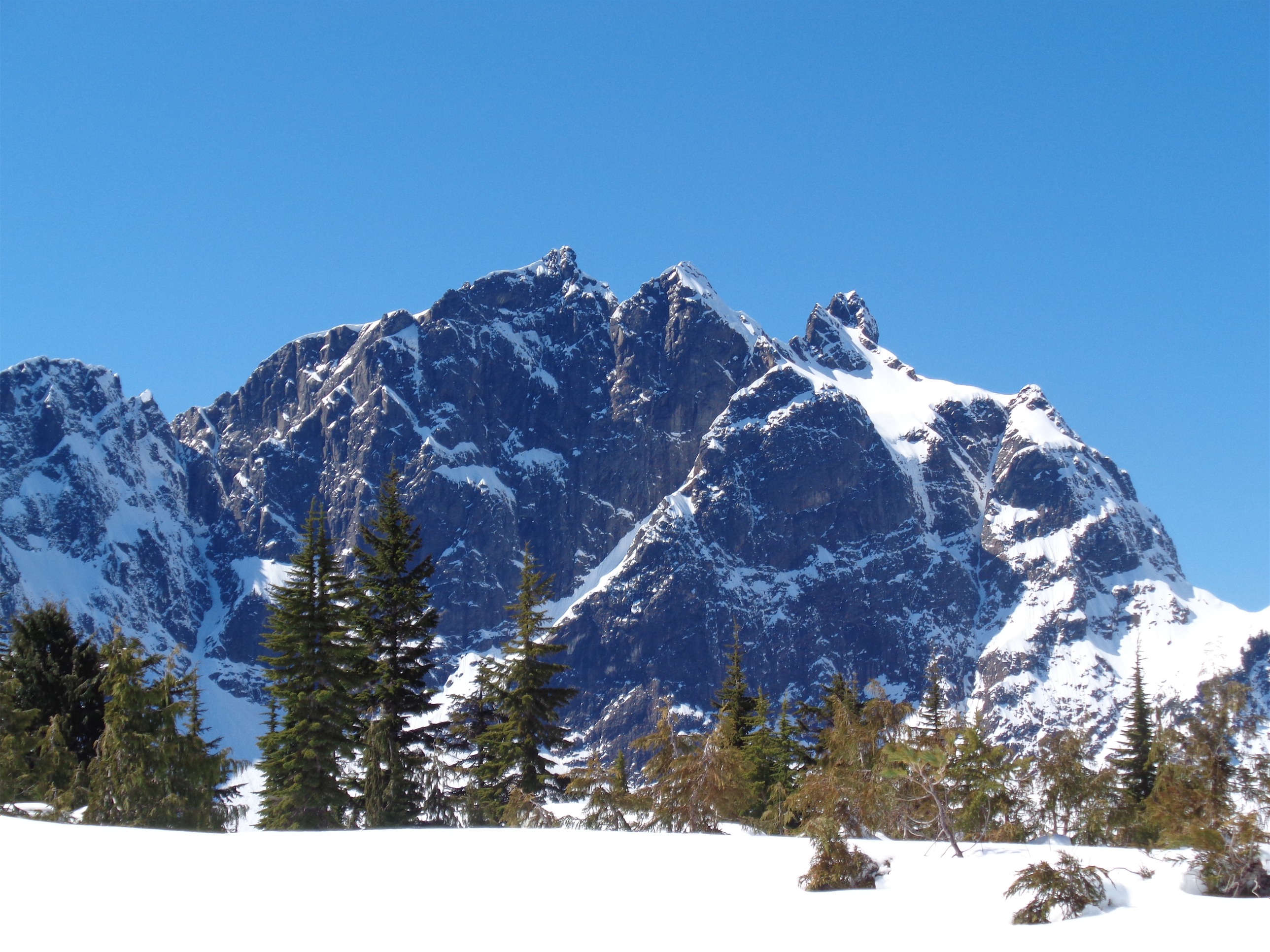
Mt. Stuart being ridiculous
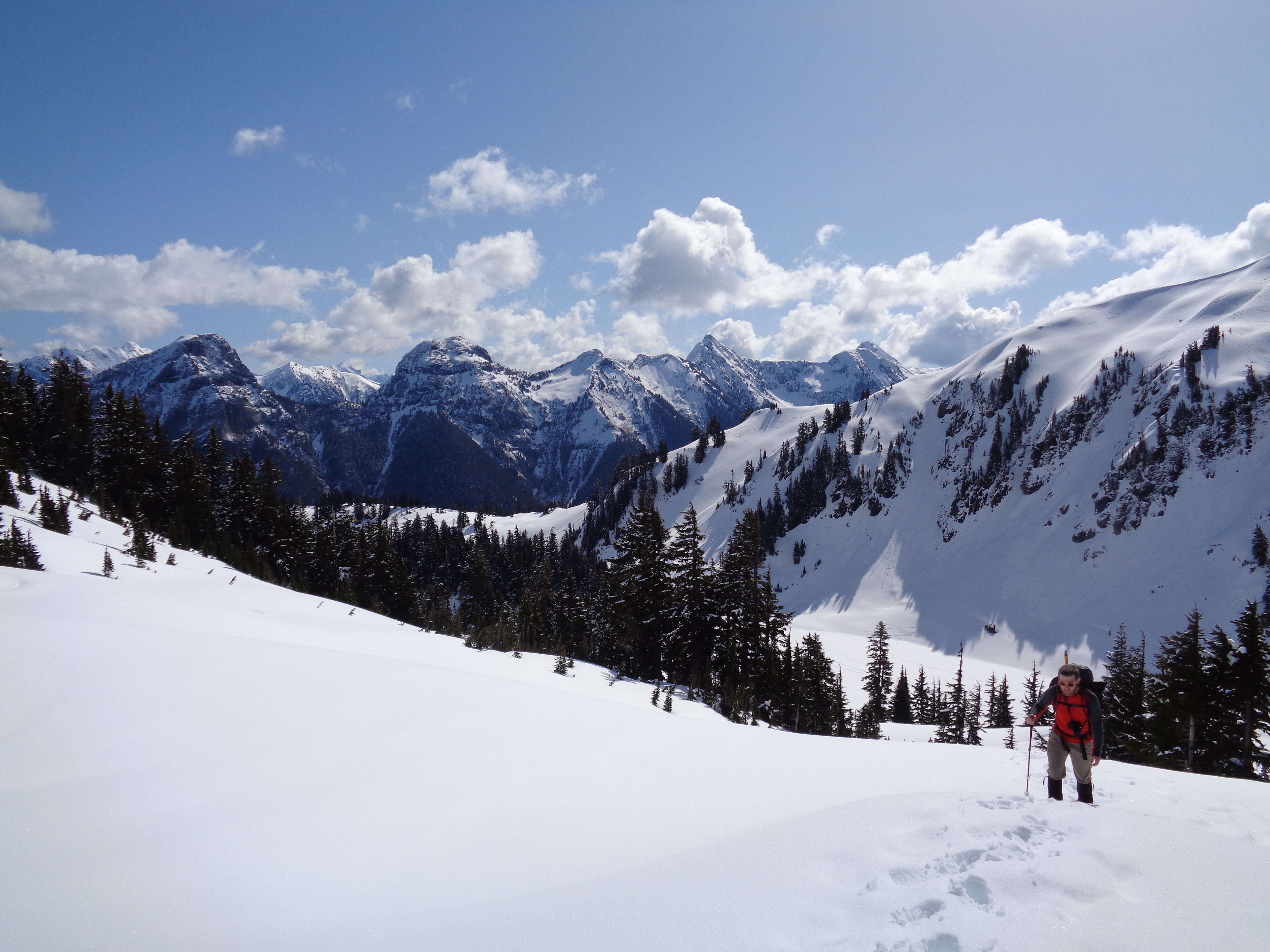
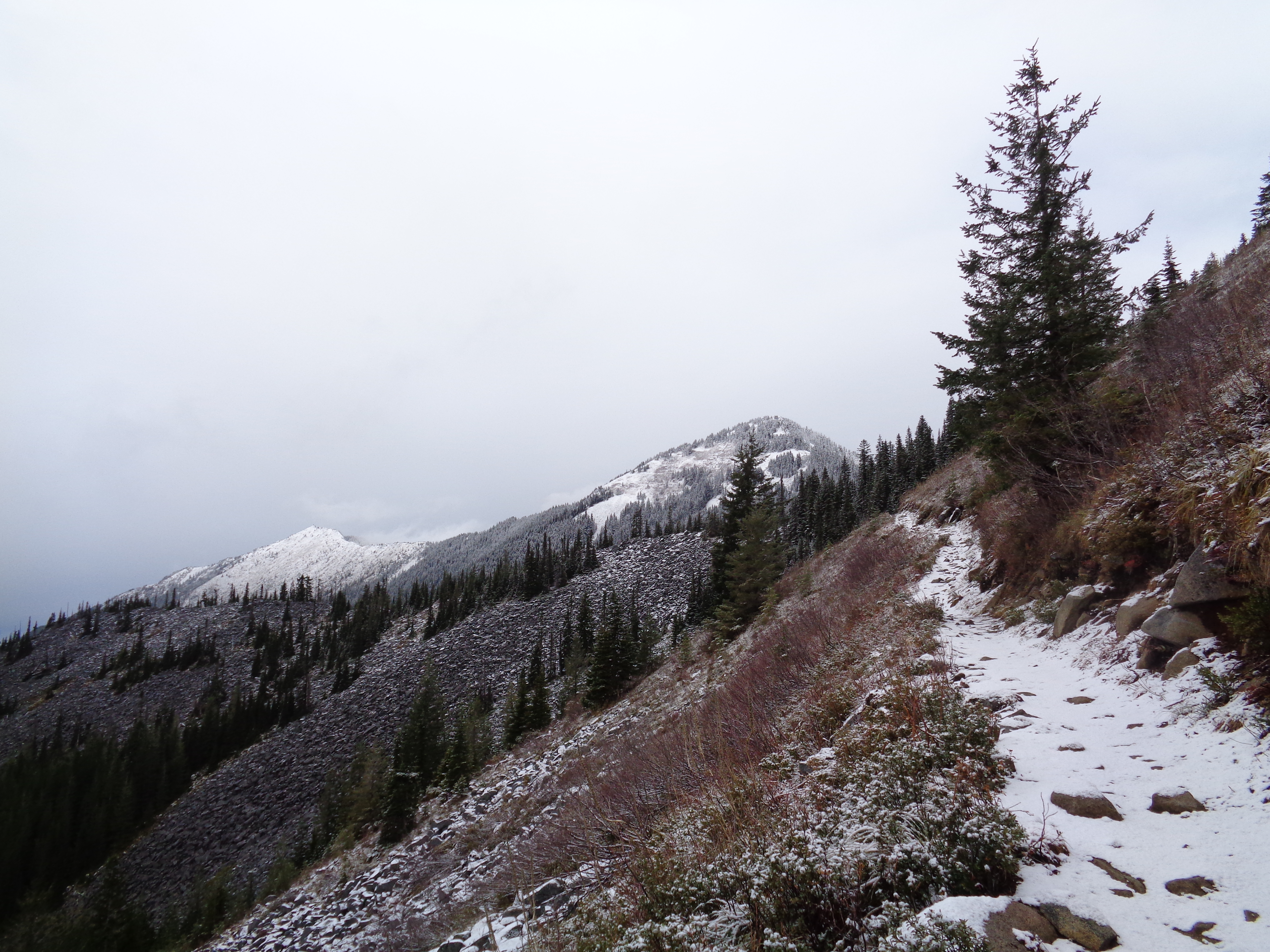
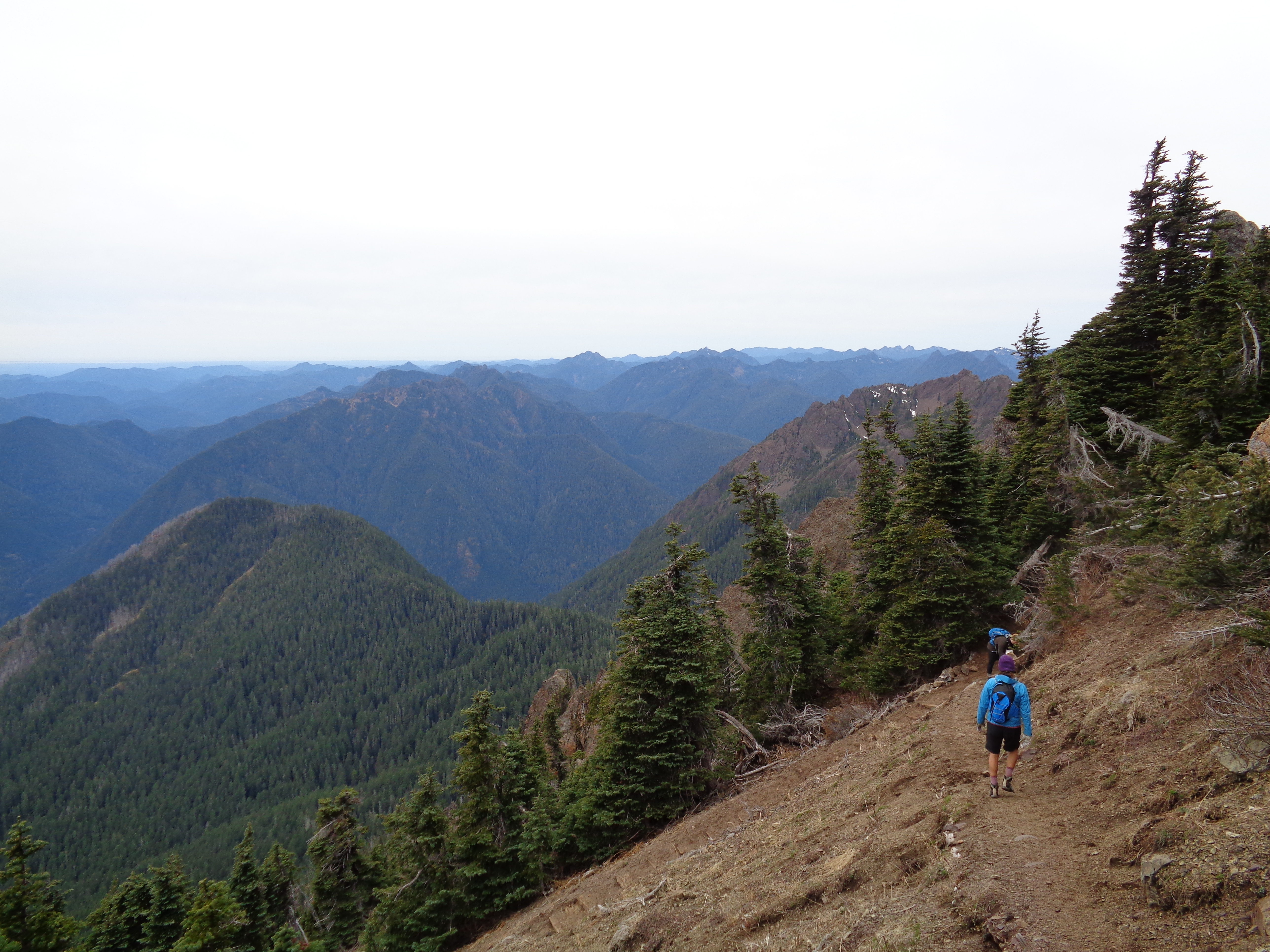
Cresting the ridge is one of the best parts of this hike. It’s an amazing feeling, getting to the top of something and seeing sweeping views below you that you didn’t know existed until that moment. And that’s how this is. I remembered it from last time. Suddenly there’s Ingalls Peak, and the basin, and Mt. Stuart, all these things you had no idea would be in your face. It looked much different covered in 6 feet of snow than when it was clear and full of yellow larches, but it was just as gorgeous this time around. And being two of the five total people in a basin full of snow (a group of three was heading for the peak) makes it that much more wild.
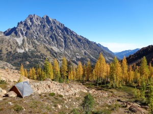
Mt. Stuart back in October
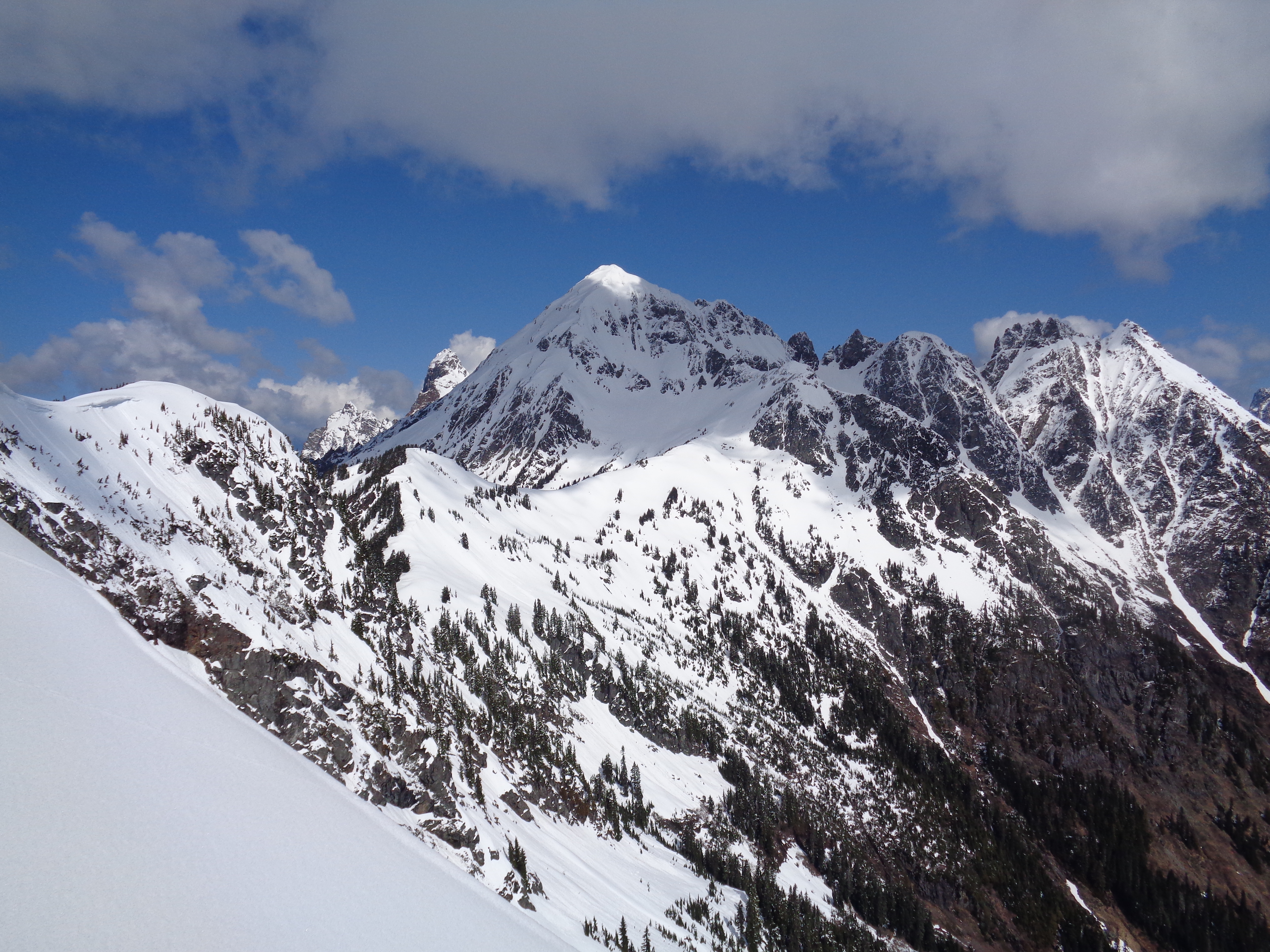
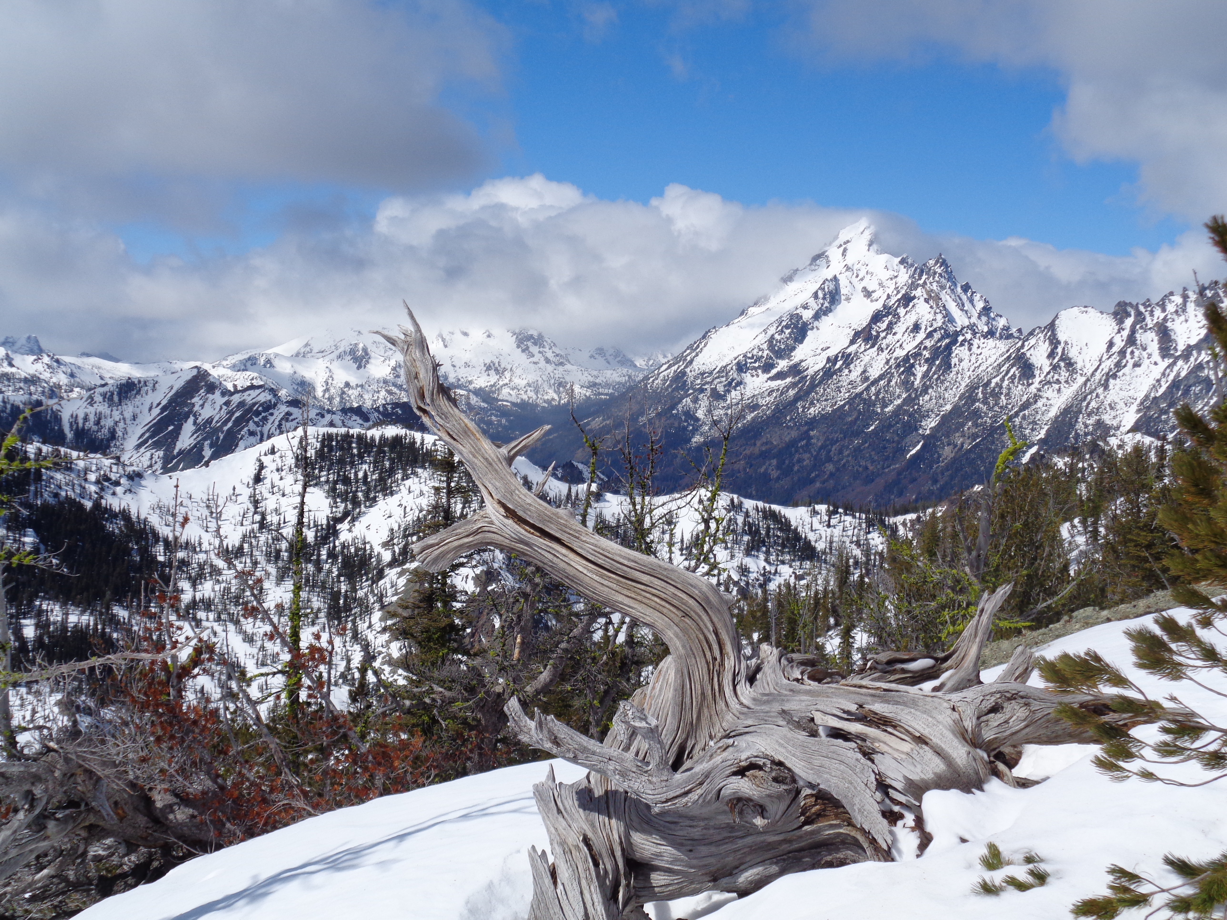
We had a small break after reaching the ridge to take some pictures and soak in Stuart’s glory. While the summer trail was beneath several feet of snow, I knew where the basin was, and figured we could find a decent way to get there. The first half was straightforward, it would be the last bit that would be tricky. We trekked to some of the overlooks I stood on last time I was here, and found a few snow bridges that showed just how deep the snow was. Deeper than I am tall, and this is a pretty low snow year. The area we were crossing got steeper, and we traded poles for ice axes. The runout didn’t look too good if we fell. Snow was soft, but if the snow didn’t stop us, the rocks would. Side note, it’s interesting how different Stuart and Ingalls are in color. Stuart has that sharp dark rocky color, whereas Ingalls is more of a soft brown. Different types of rock? I’ll have to do some research.

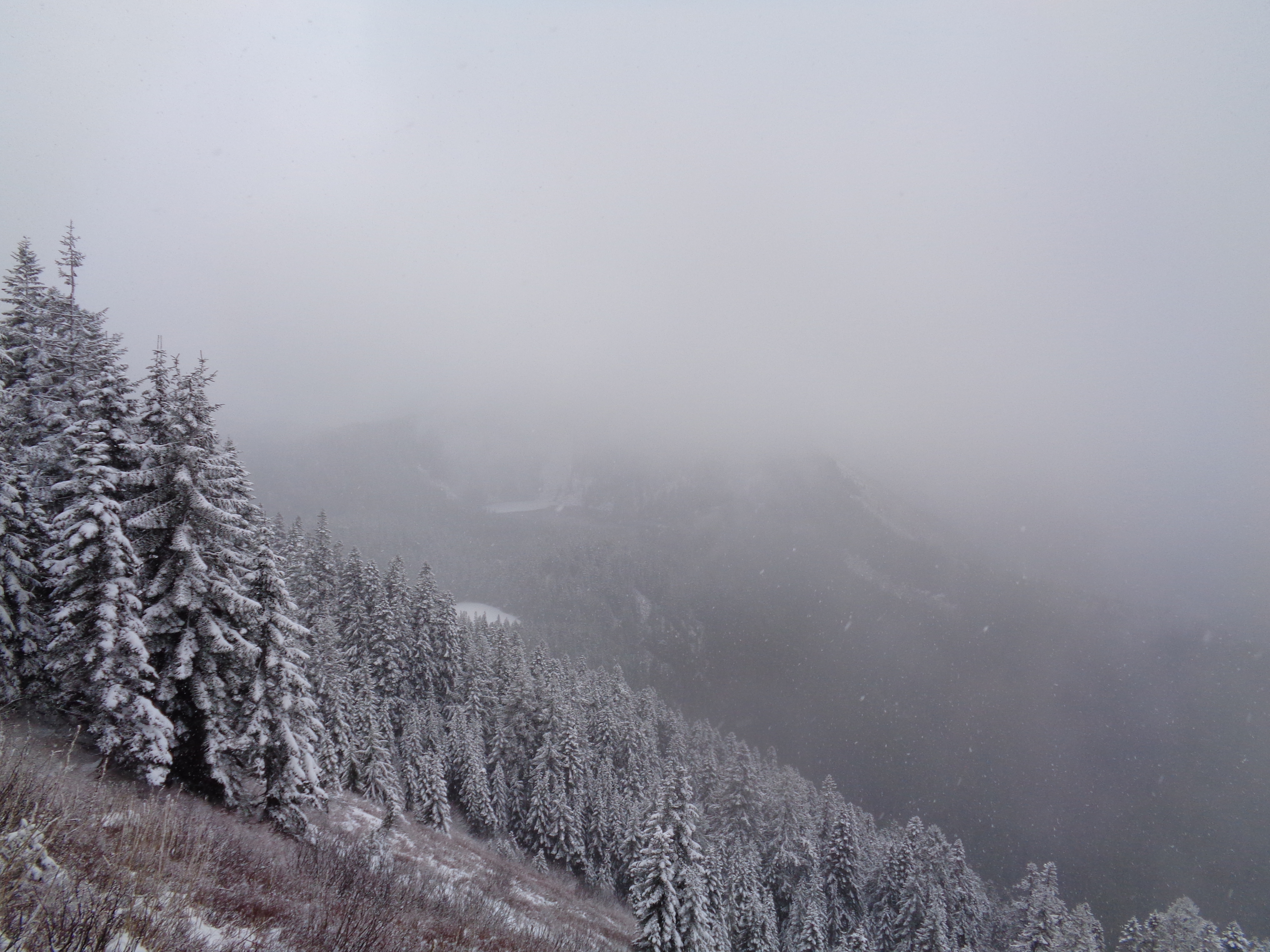
Looking across the valley, Stuart on the left, ridge on the right
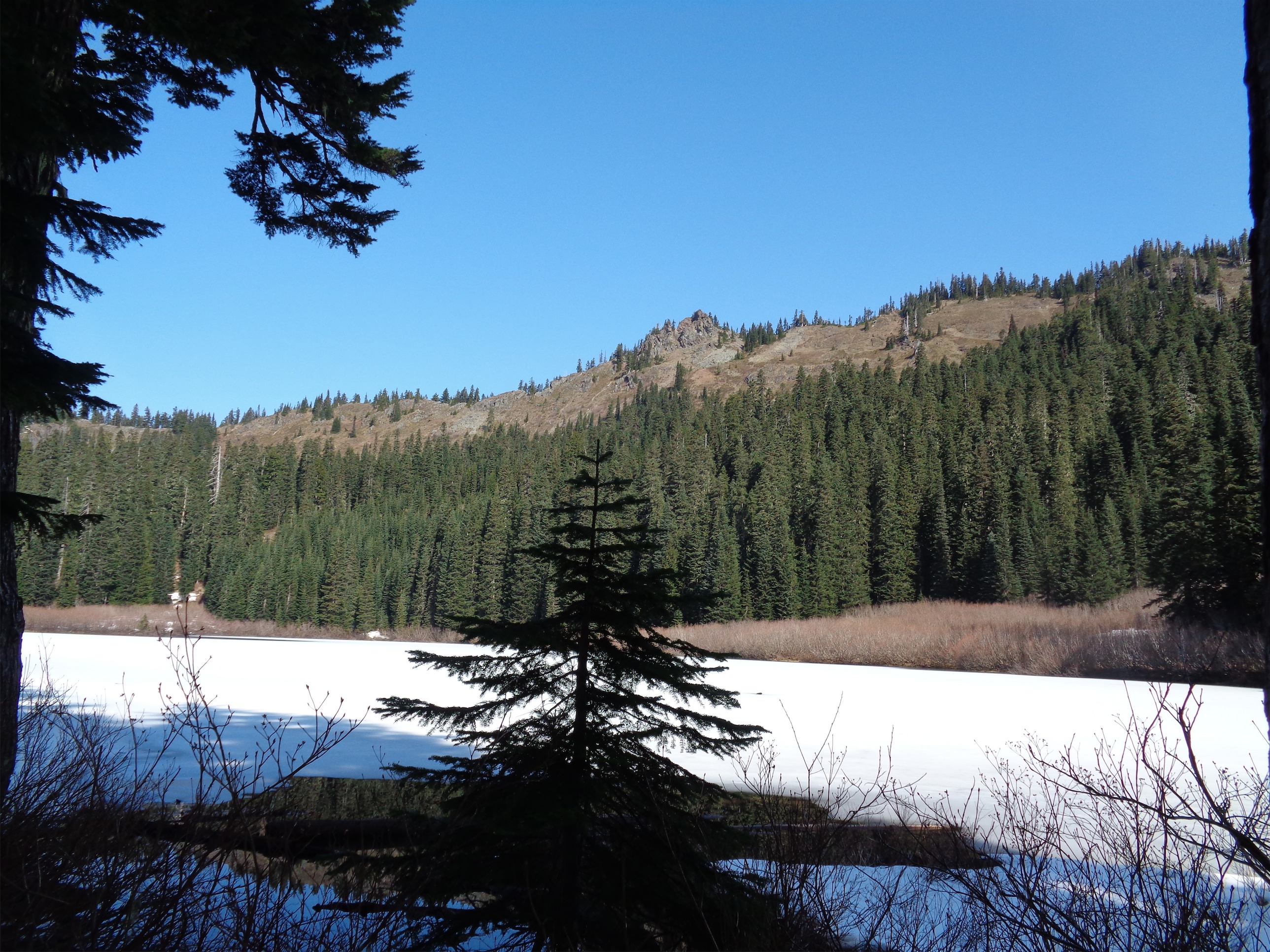
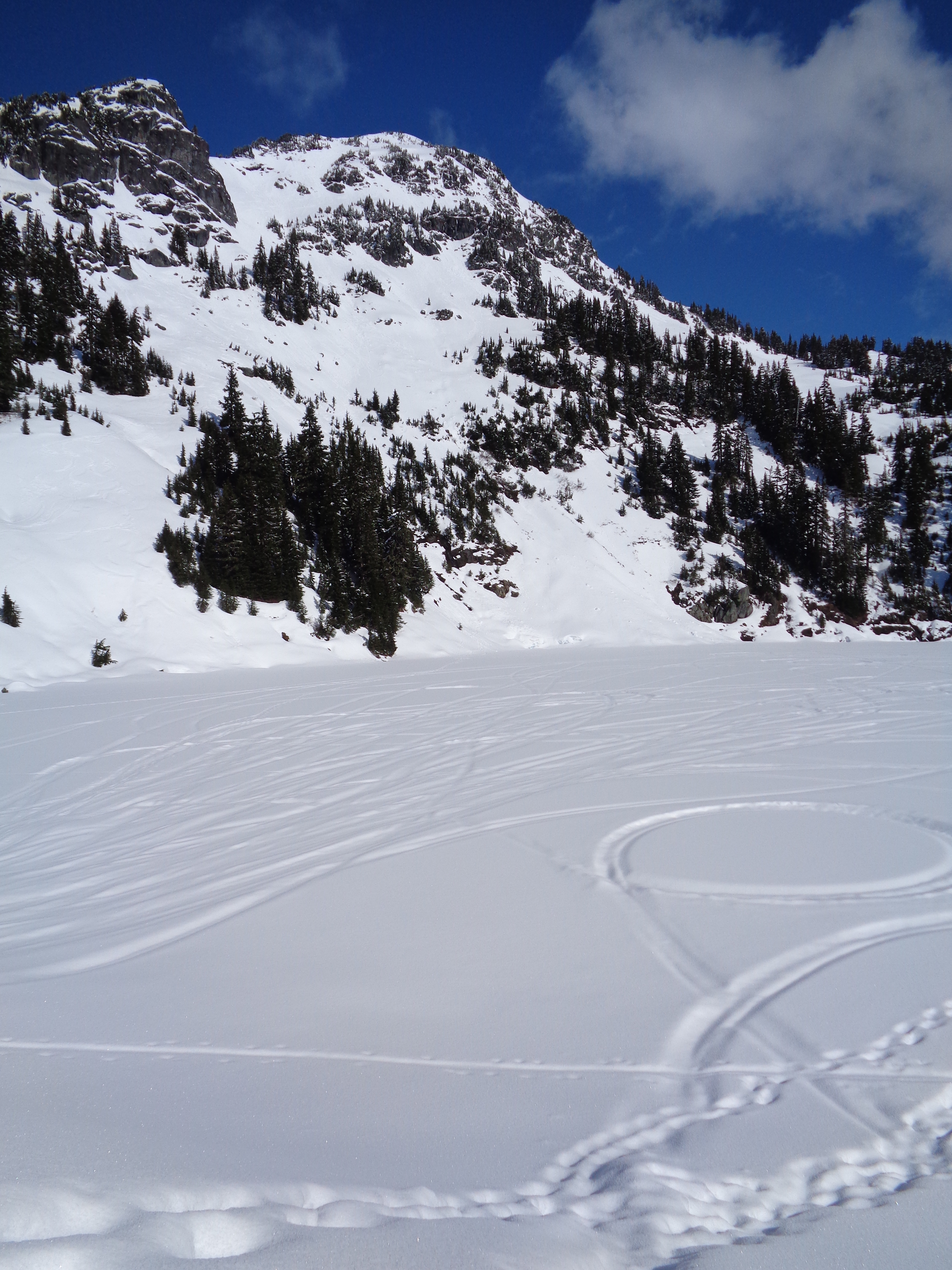
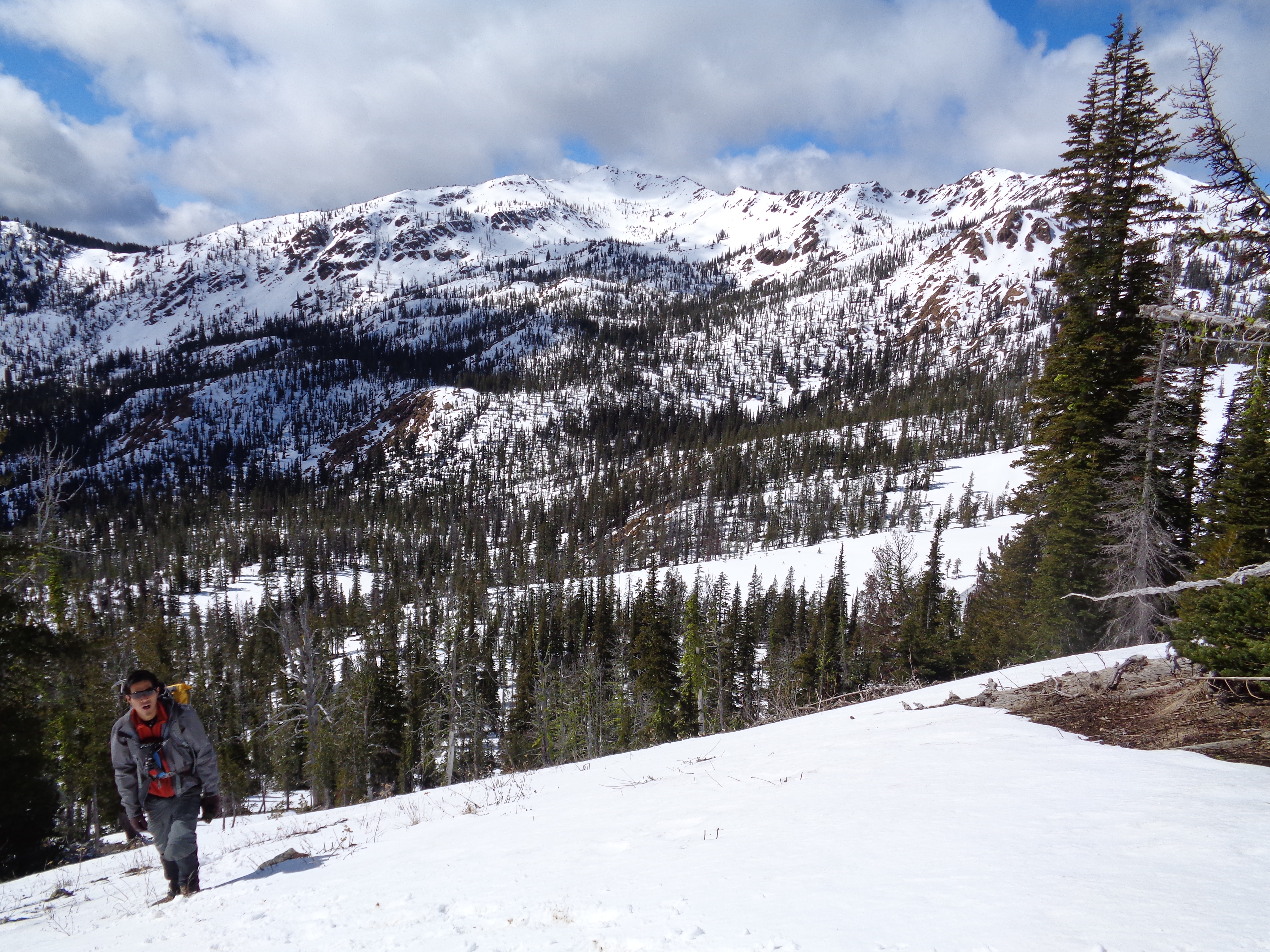
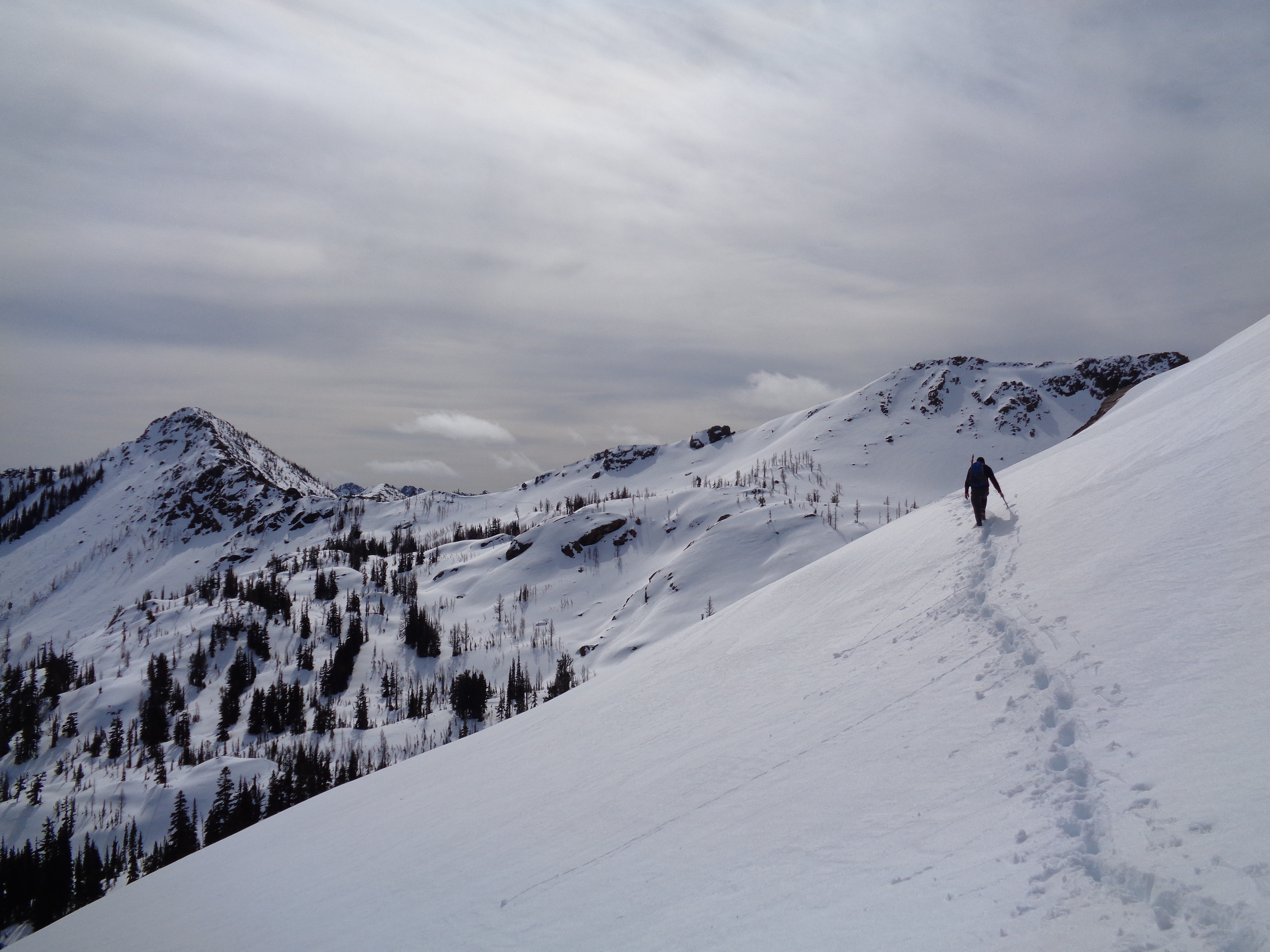
We crossed some areas that involved light scrambles over boulders, and finally reached a steep slope covered in pinwheels and roller balls. The sun was strong, it was warming up, and the snow was melting. I like to think I’m overly conservative. Since the slope was only maybe 30ft across, we went one at a time, and quickly, and literally nothing happened besides a small slide I saw above us. We repeated that across two more slopes, until we were on flat ground and cresting the hill that overlooks Lake Freaking Ingalls.

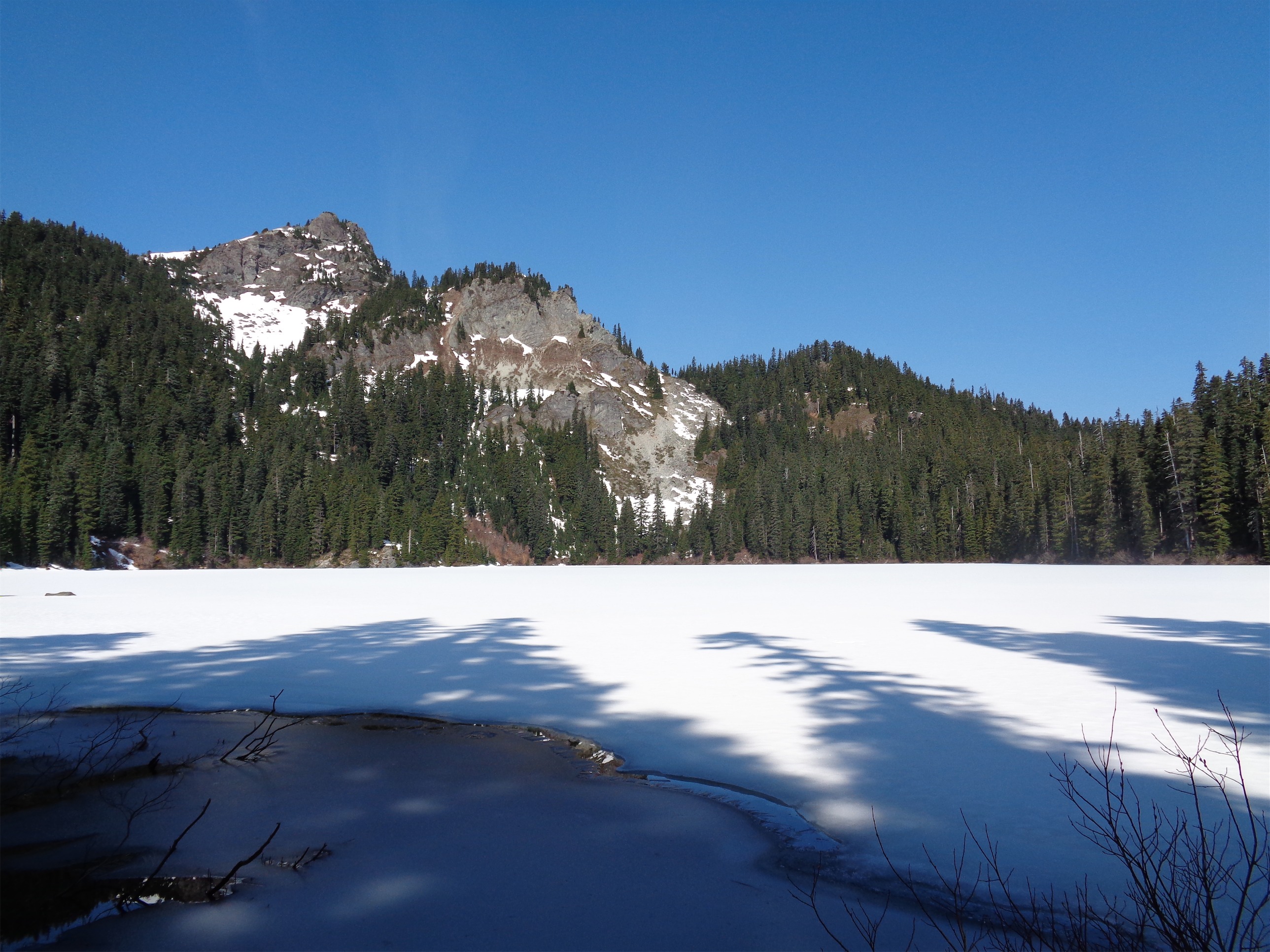
Lake Ingalls beneath Ingalls Peaks
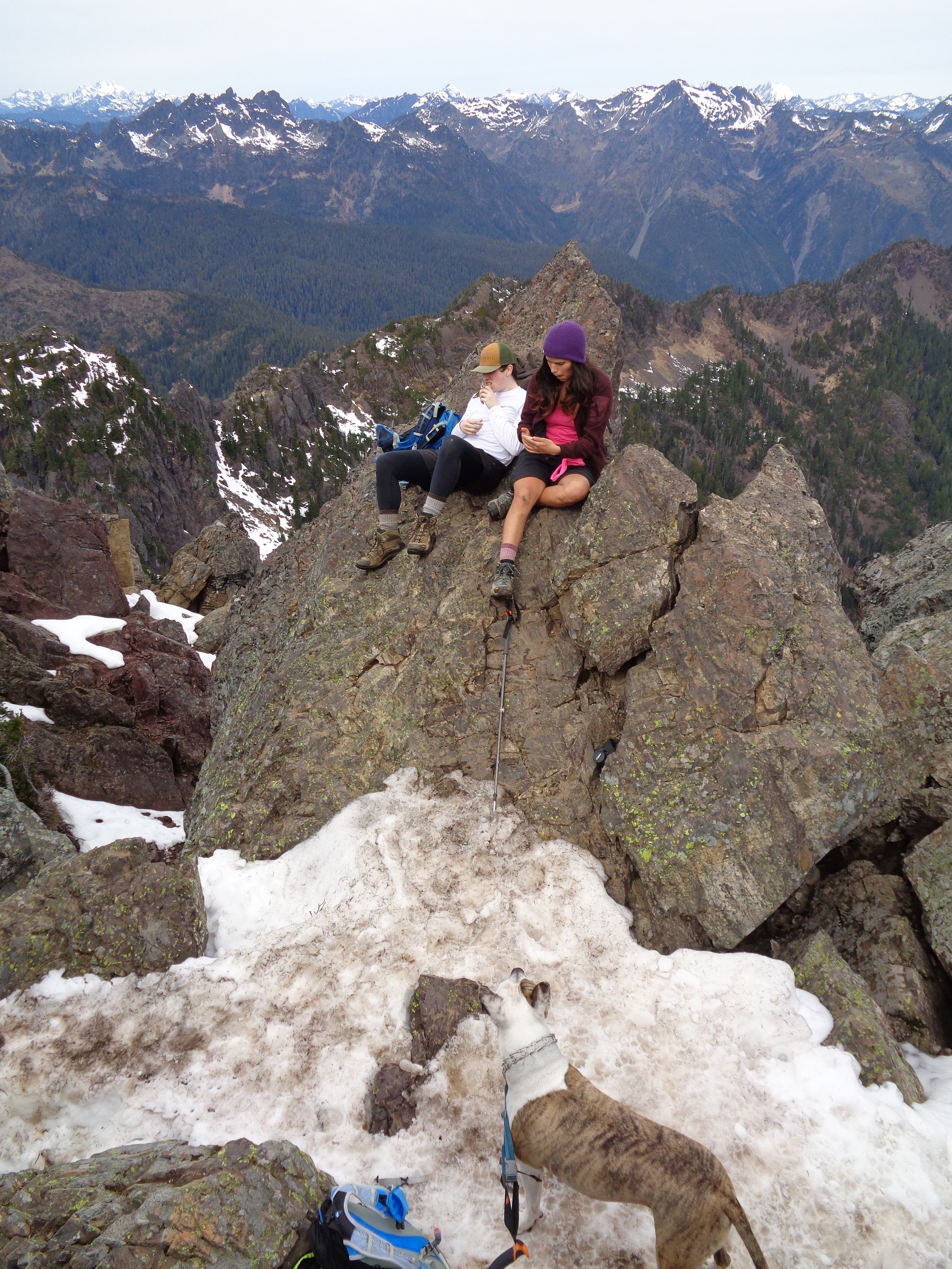
I jumped and shouted and turned around to holler to Surafel, who was behind me. Naturally, the lake was frozen over and covered in snow. We turned right to head up to a small rocky hill overlooking the lake, and chose to snack there. I was a little anxious about getting back across the slopes, so the break was short. But we did have a chance to watch the three climbers get close to the peak. Once they were on the rocks close to the summit, we lost track of them. We could hear them, but not see them. Crazy how far sound carries. I’ll admit I was a little jealous, but we had decided that the peak was a little out of our comfort zone. I like to think that because they were up there, avalanche danger couldn’t be that bad, but you never know. And I had seen that small avalanche 20 minutes before we reached the lake. So we played it safe.

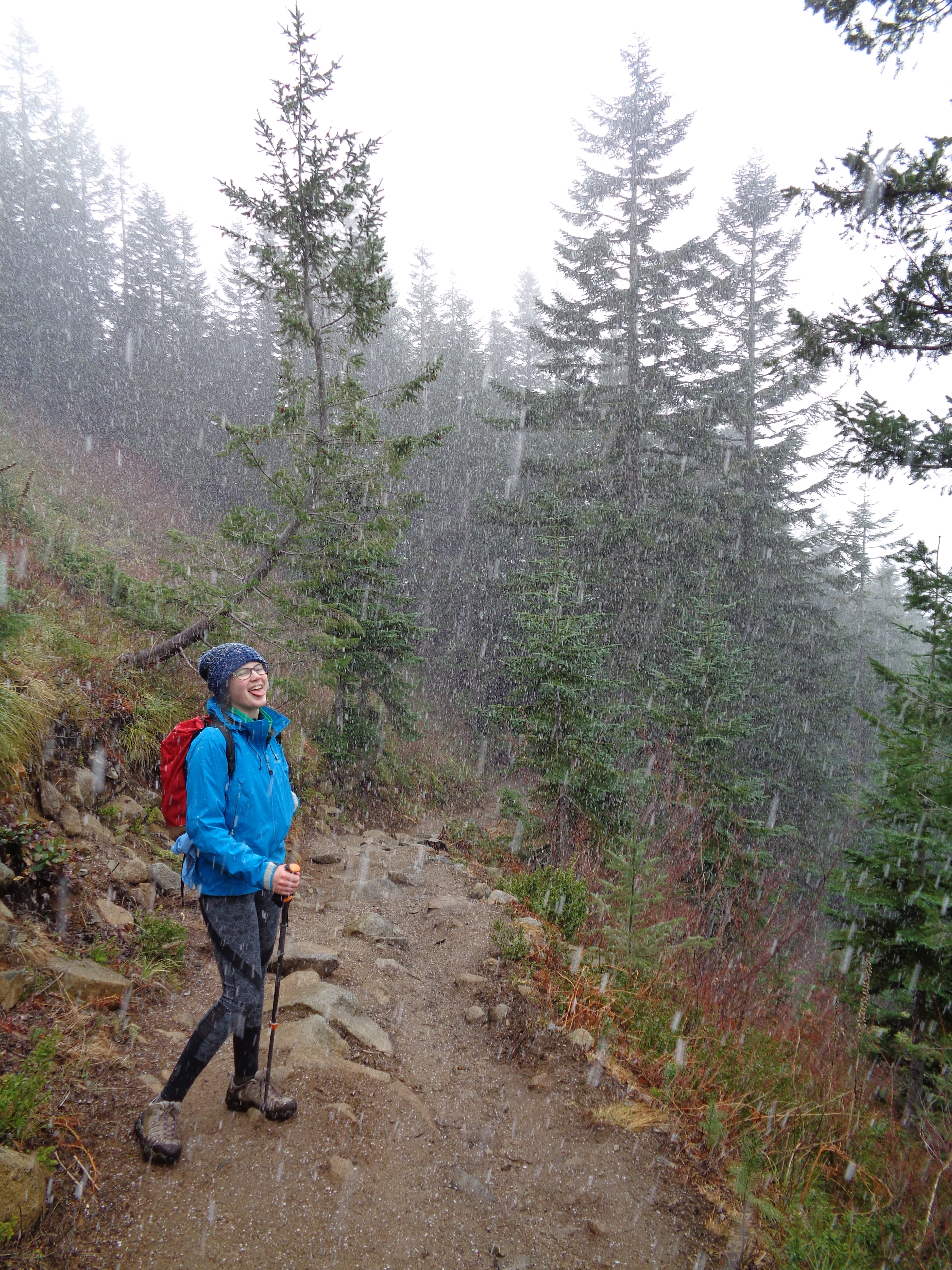
Surafel crossing hills
Heading back was easier. We had stomped a pretty good path, and it was easier than breaking trail on the way there. Forget avalanches, I was stopping to take pictures of Surafel crossing everything. That’s probably how I’ll exit this world someday. Just make sure you try to find my camera.
Every once in a while, I’d have those “…look where we ARE” moments where you stop and realize that you’re miles away from everything, including other people, dwarfed by slopes and boulders and mountains. The silence was absolute, except when broken by a rock slide, which was a sound I hadn’t heard since Rainier this past summer. Or by our steps, or by my breathing, or by the climbers communicating above us.

Me on the ridge with Stuart to the left across the basin. Taken by Surafel
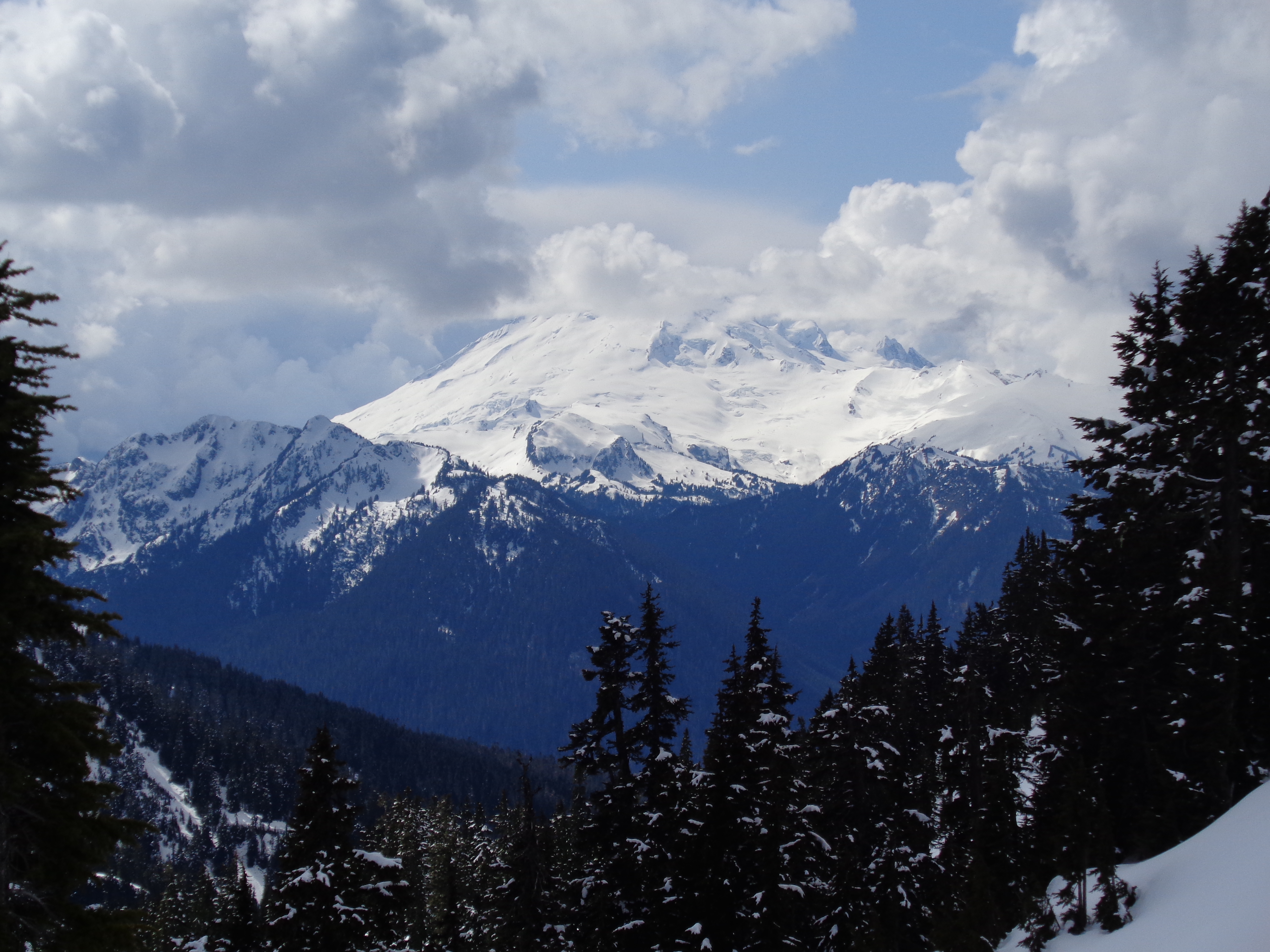
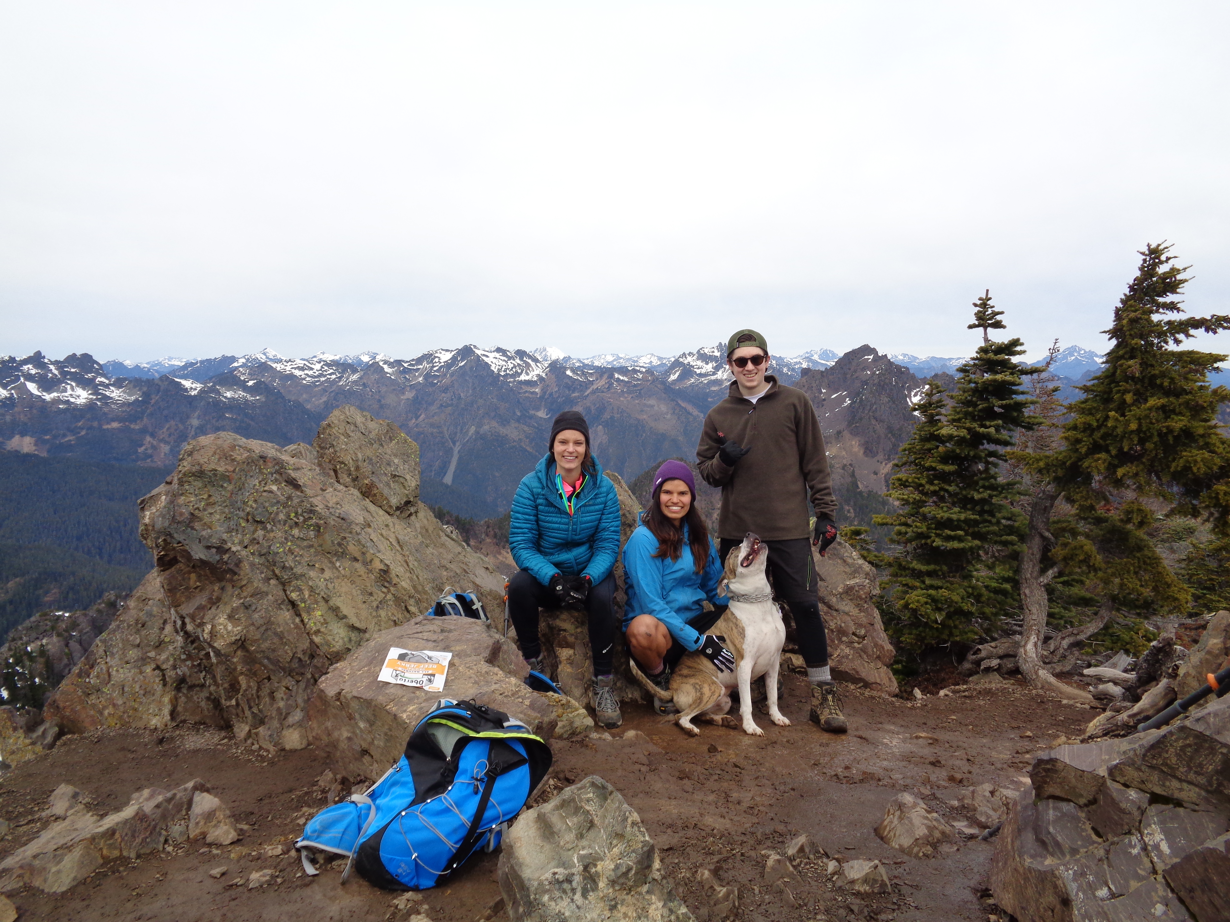
When we had made it back to the ridge, we took another break. The sky was absurd. It had alternated between blue, blue with wispy clouds, blue with rolling clouds, overcast, everything we could have asked for. Rainier and Adams were fully out (they had been shrouded in clouds before). Getting back down was… not tough, but tiring. Postholing every step is a pain in the ass. I thought descending Disappointment Cleaver for the first time in crampons (it felt like it just never ended) was my own personal hell, but I’ve revised that to Descending Disappointment Cleaver except Covered in Soft Ass Deep Snow So You Can Posthole Every Damn Step While Scrambling. It’s usually worth it in the end, but that doesn’t mean I have to enjoy it, guys.

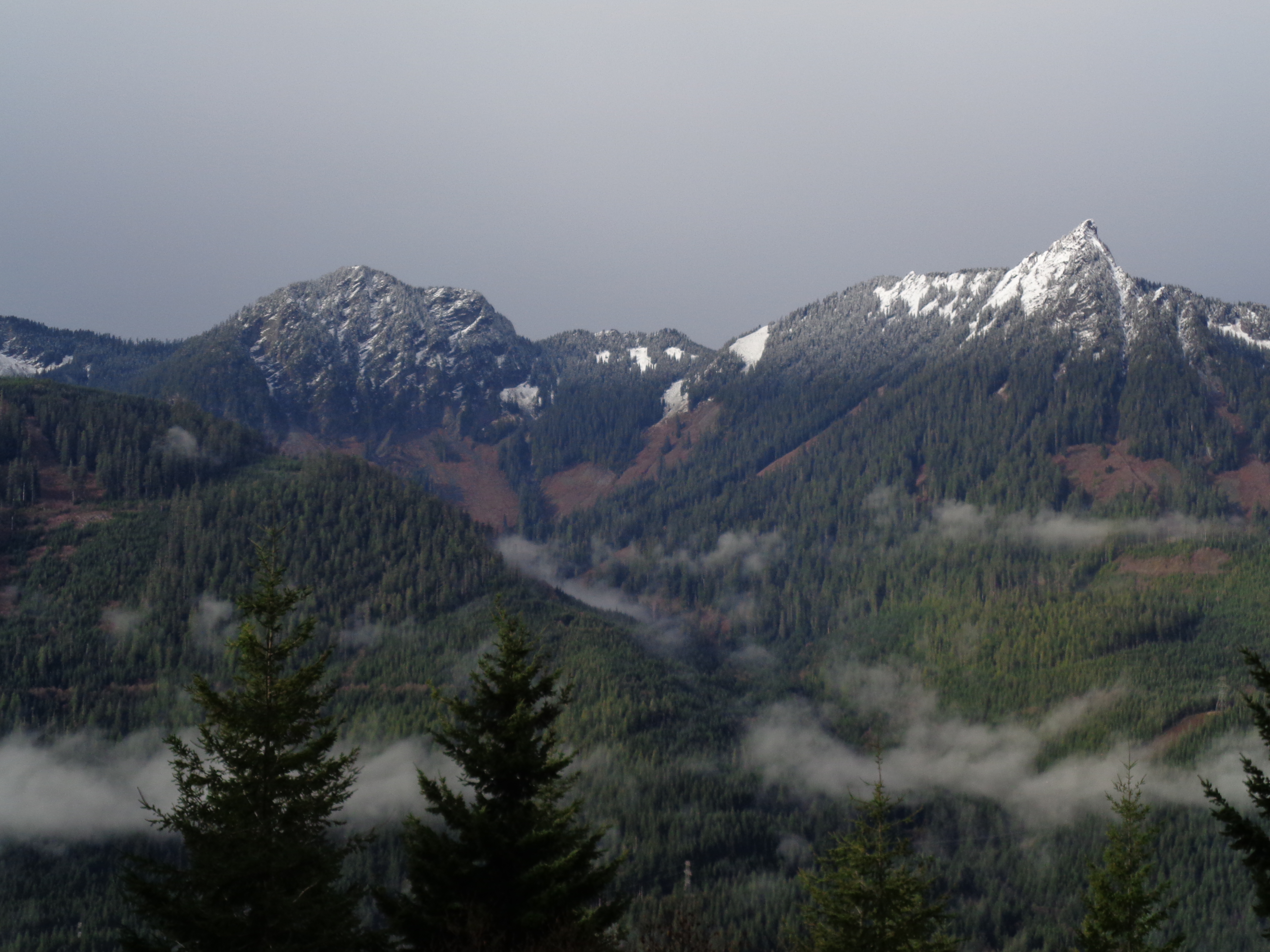
View of Rainier
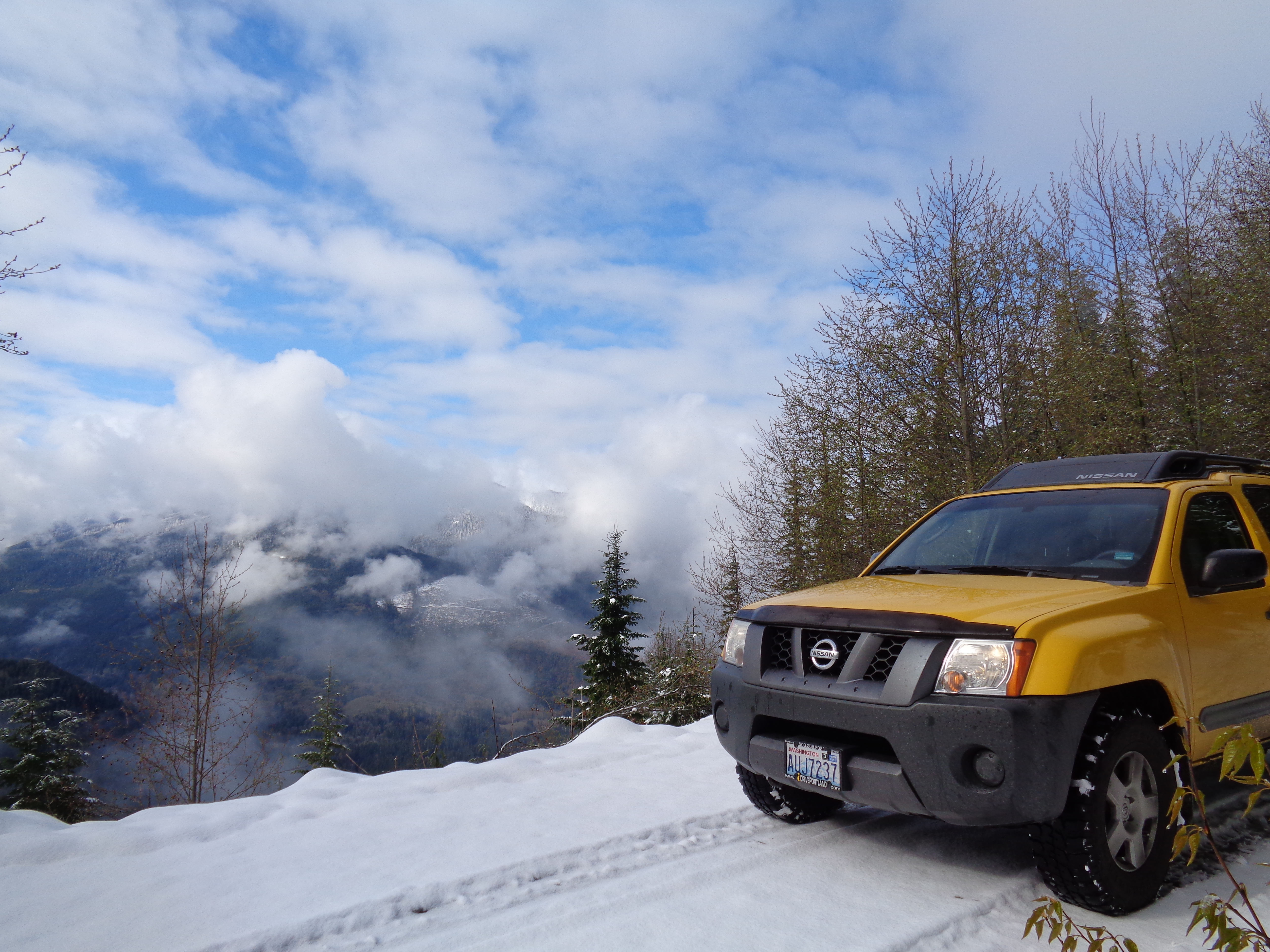
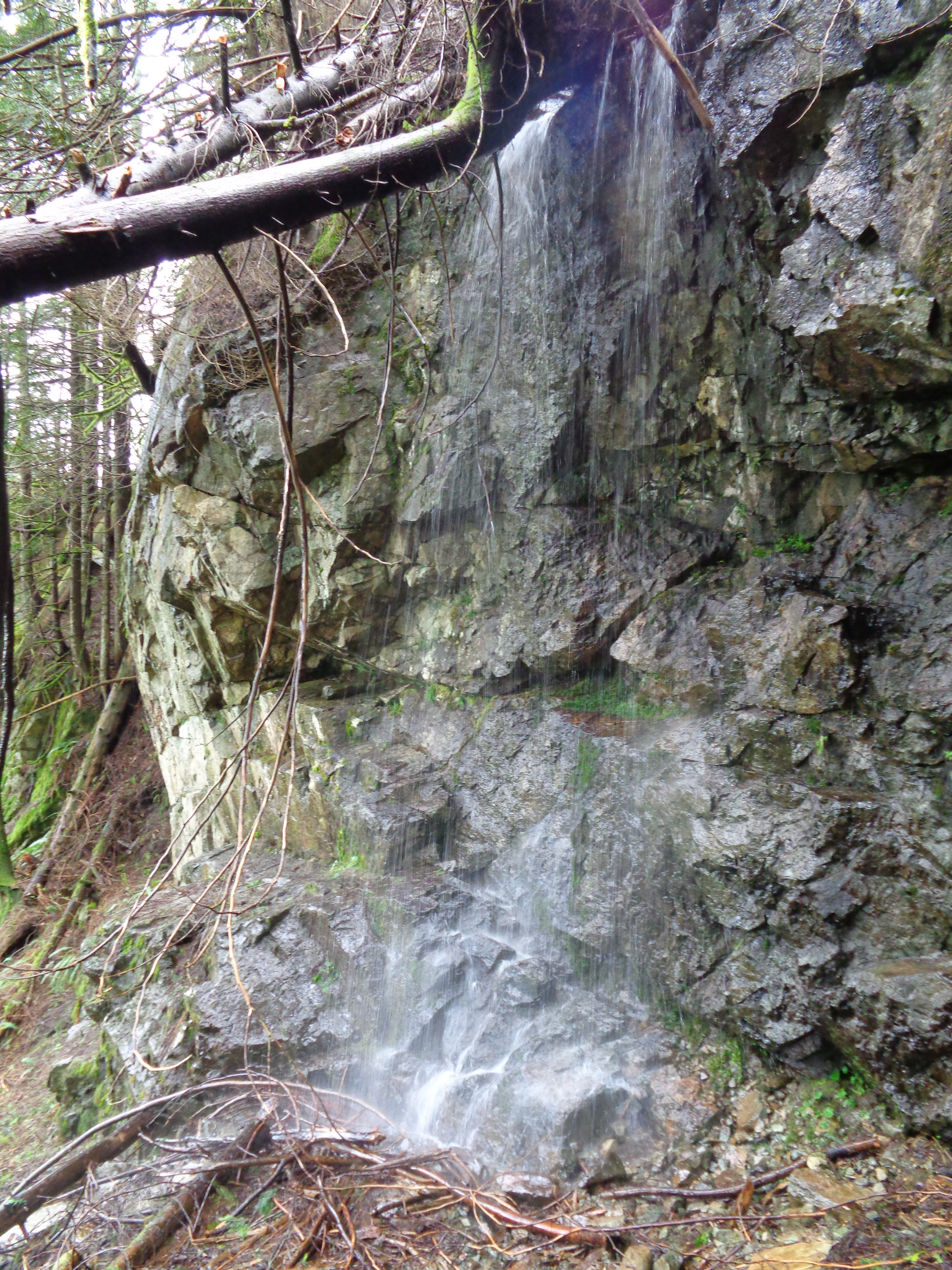
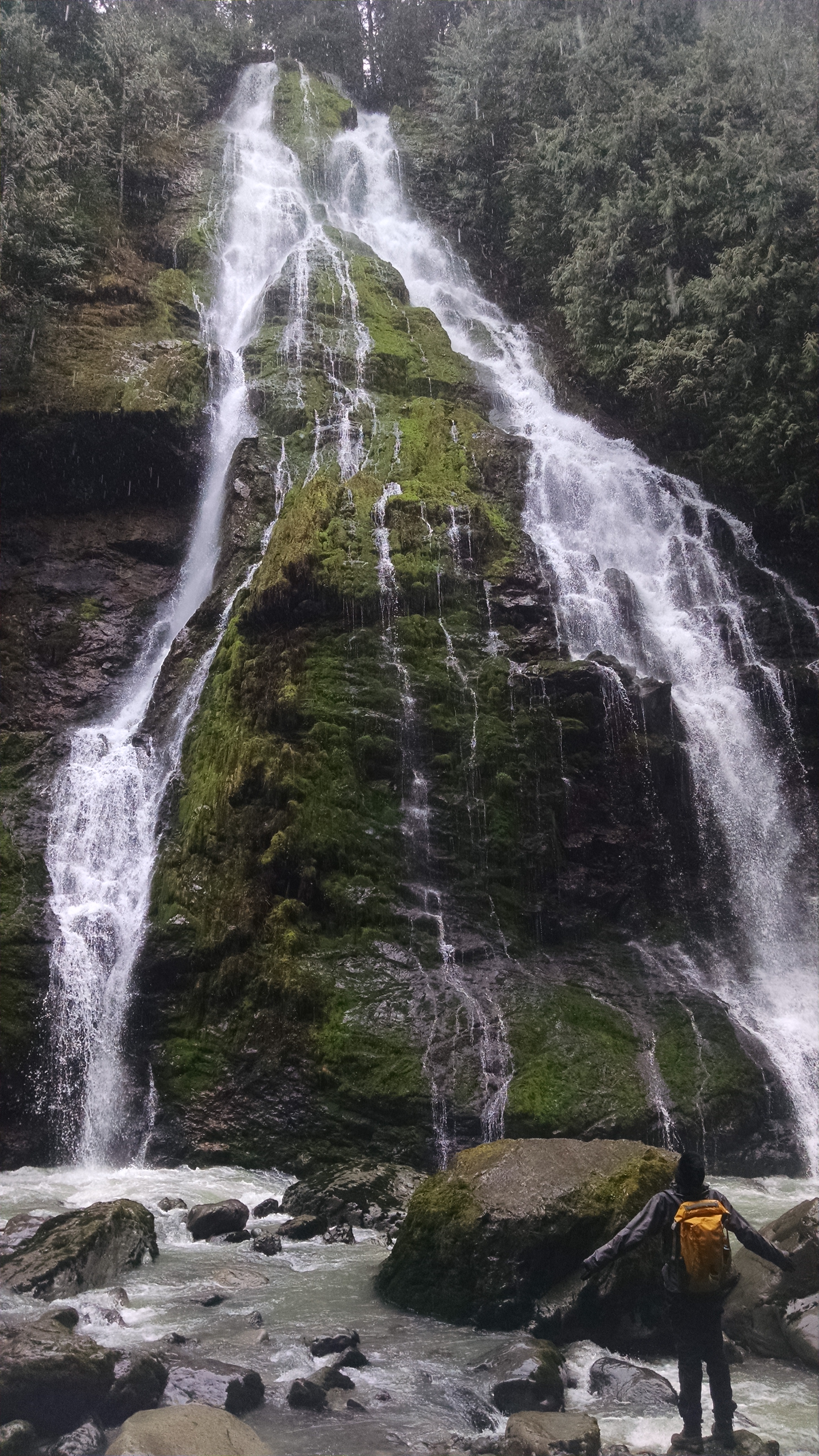
Dirt has never felt so good. The trail was still amazing, but when we got back to dirt, I felt so slick and fast and agile. We finally took the microspikes off, and were back to the cars by about 3pm. Faster than I expected. OH, also, I had sunburned around my glacier goggles. It’s a good look. We checked out the waterfall by the trailhead, and headed out. Of course, I wanted to stop to get a picture of my car on the road.
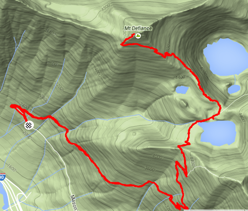
This hike was awesome. I had no idea I’d be back here in winter, with everything covered in snow. I will never get bored living in Washington. Our strava map is here. For anyone who wants to check it out, there should be a pretty good boot path from now until significant snow comes. If it comes. I’m not complaining – there’s enough snow for me to get in some good beginner experience, but not enough to stop me from getting to incredible places. And to think that just a few months ago, I was worried I’d have to stop hiking. It’s amazing what you can learn.

Strava map

Xterra looking sharp as usual. Taken by Surafel

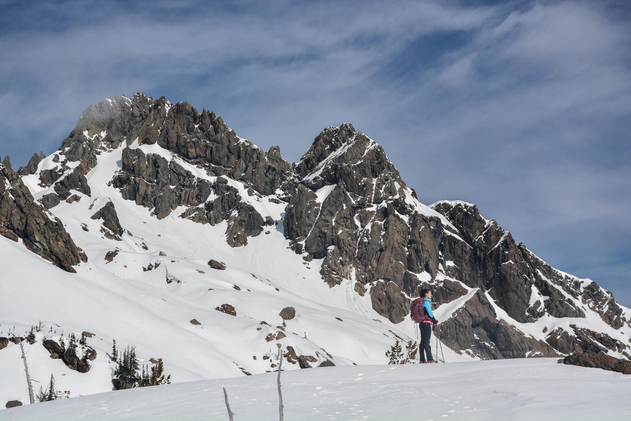
Standing beneath Ingalls Peaks, taken by Surafel

Overlooking Lake Ingalls, slope up to Ingalls peak on the left, Jack Ridge on the right. Taken by Surafel