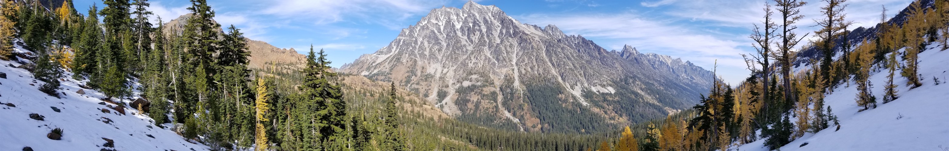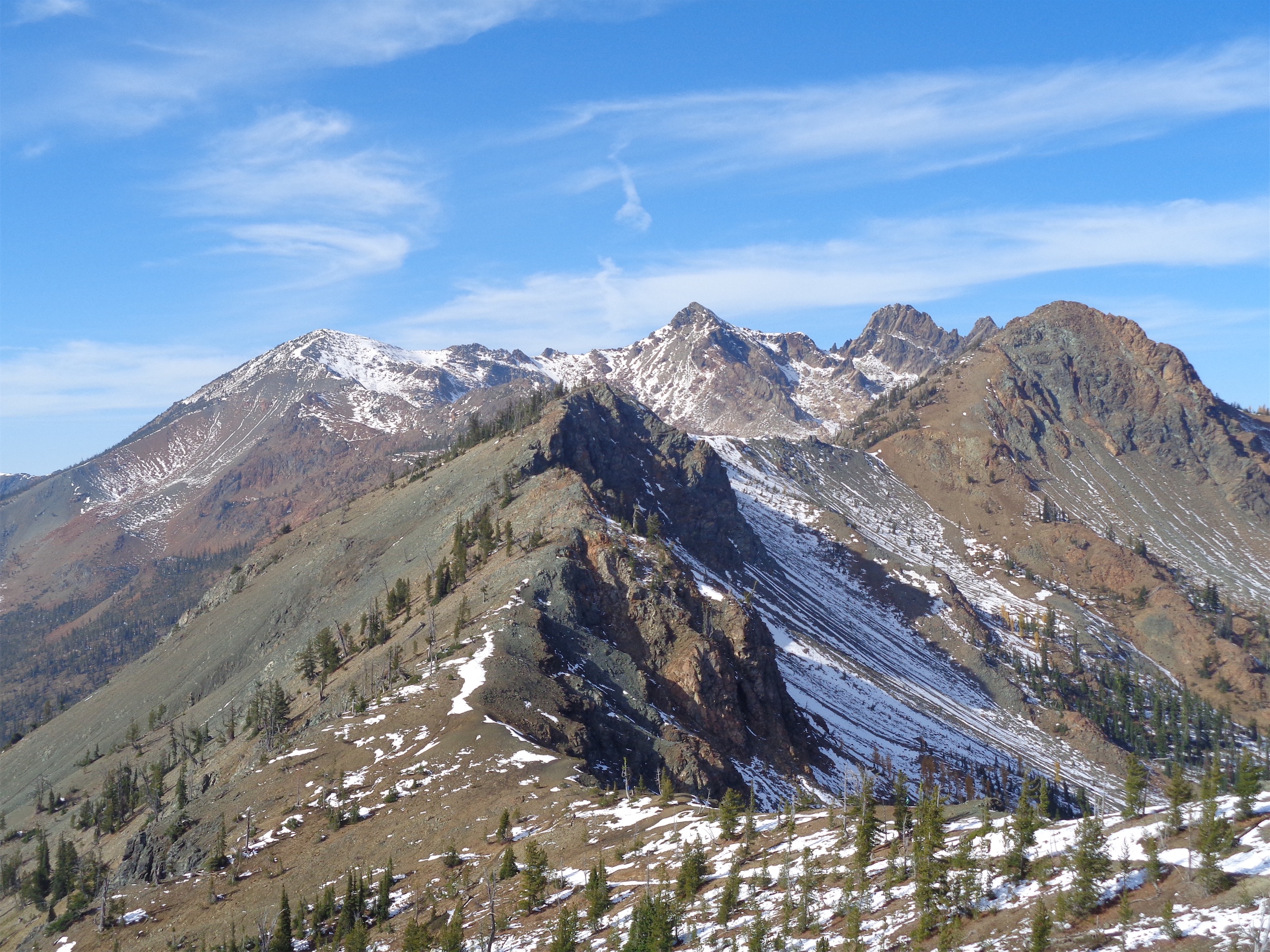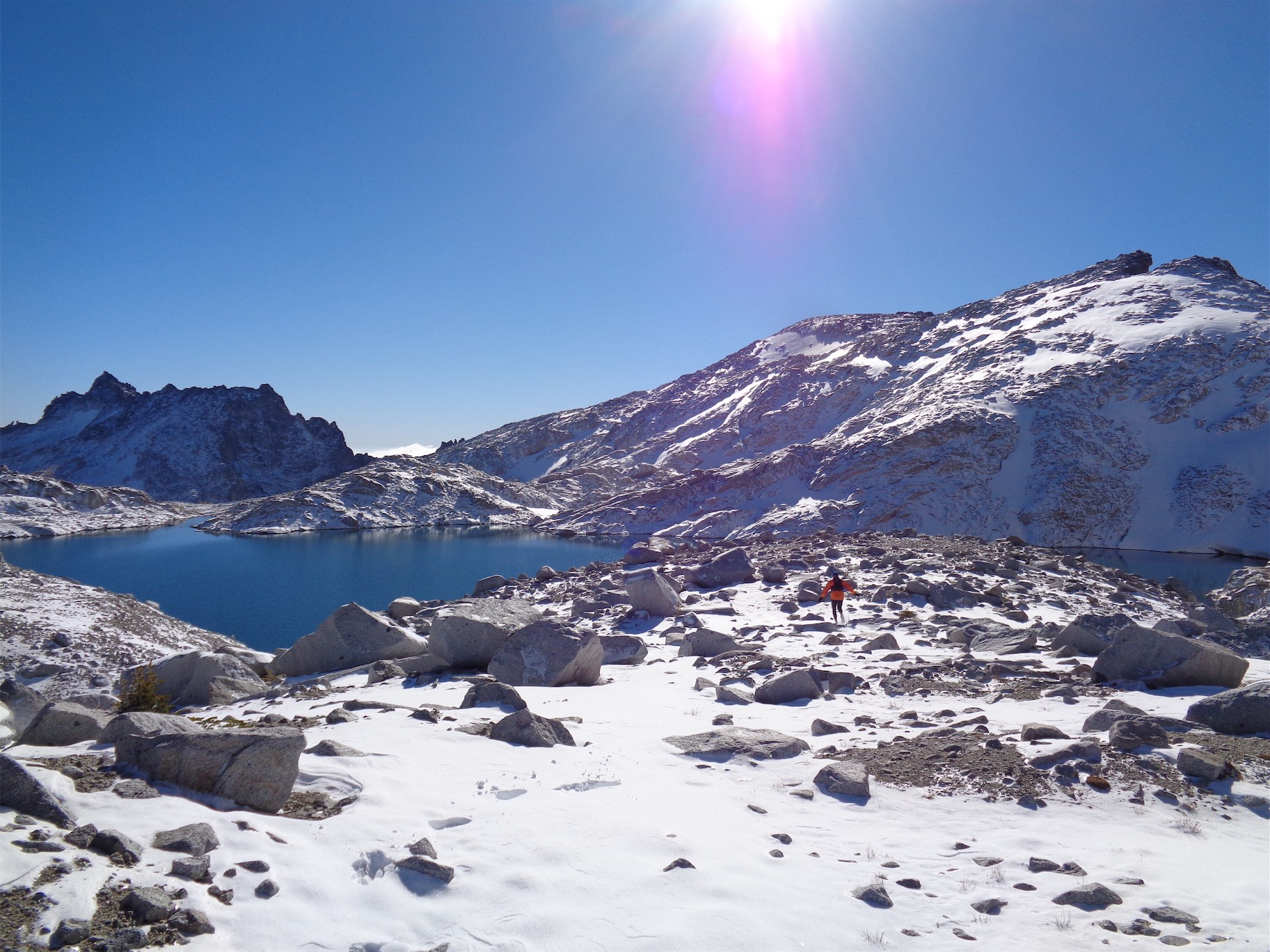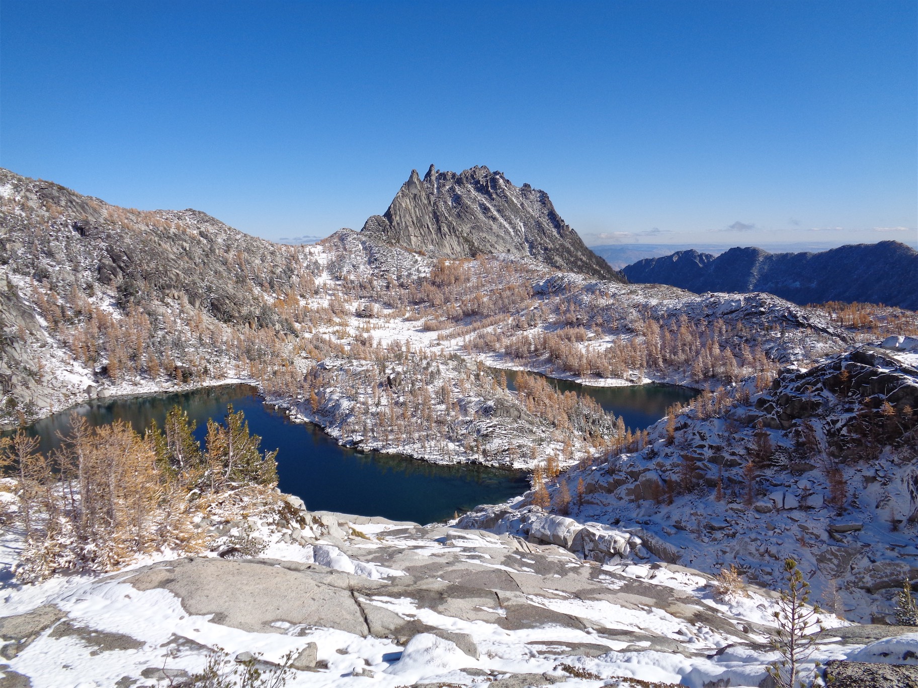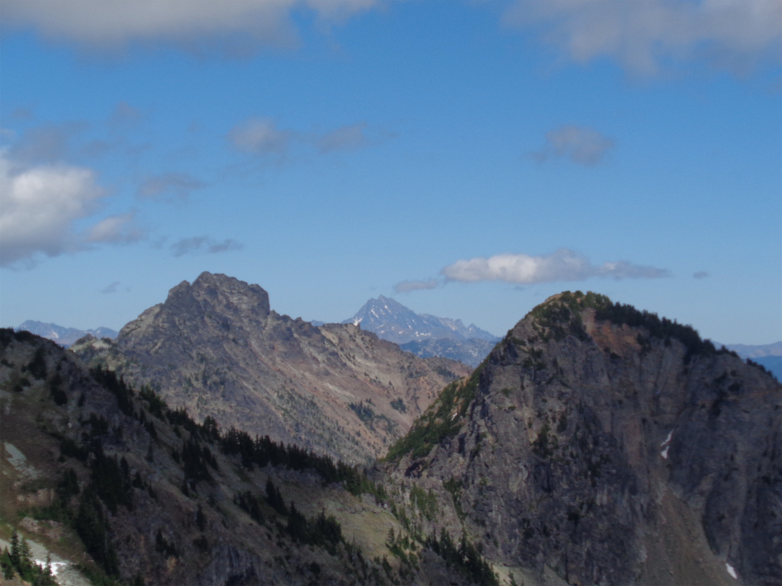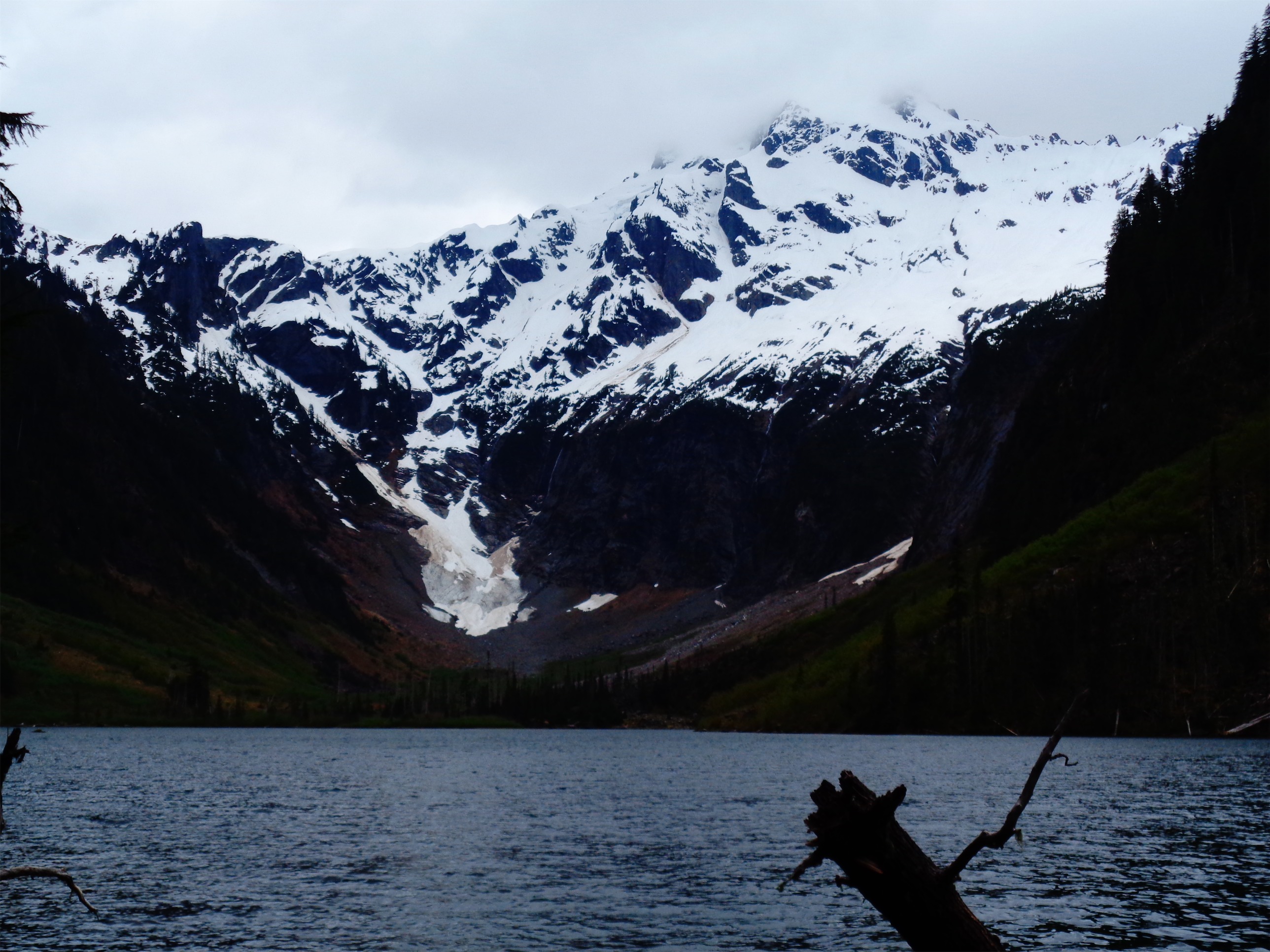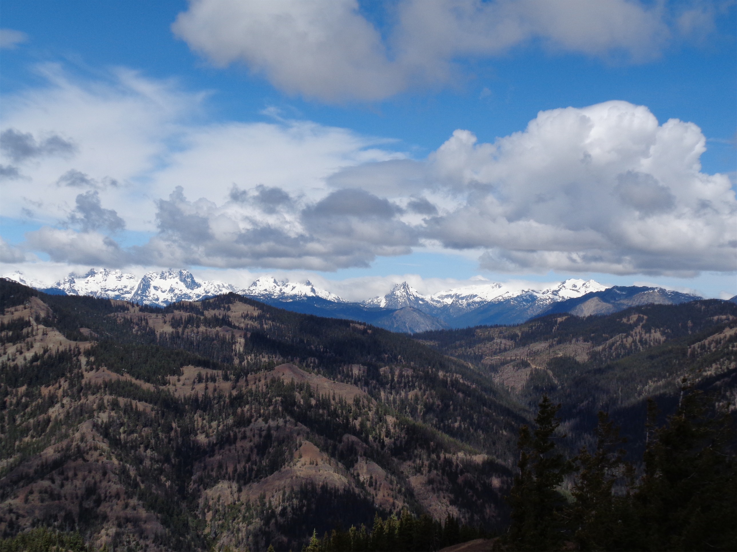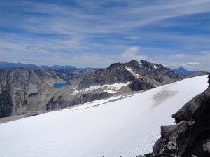
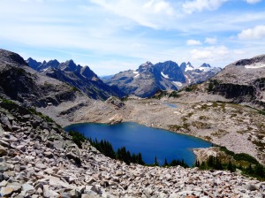
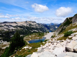
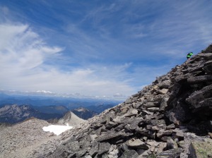
Looking at Daniel and Pea Soup Lake (and Stuart on the right!) from near the top
Holy crap, where to even start. I hadn’t been on a long trail run since the Moab marathon in November, but my weekly mileage was decent and I was feeling fit so when Cooper successfully got Wednesday off from work, we figured we’d hit the trails. I didn’t feel like driving three hours to Cashmere or North Twin Sister, so I made an impulsive decision to go see if we could bag Hinman in a day. I had already done the research, and Cooper had to be back by 7, so the timing was perfect. I knew we’d have to run as much as we could and hopefully wouldn’t lose too much time navigating, and of course had to pray that no one would crash and block all of i5 on the way back, but there was a chance.
- 24 miles round trip
- ~5900ft elevation gain (net), 7492ft highest point
- Weather: 50’s and windy and cloudy to 70’s and sunny and calm
- Commute from Seattle: 1:30 without traffic
- GPX file here (dropbox, email me if it does not work – NOTE: It doesn’t have altitude, and it does miss the first two miles of the Necklace Valley trail! You’ll catch up to it before any navigation is required though)
- Did I Trip: Yes! I only ate it once though, and it was in the one patch of sand along the trail. Nailed it.

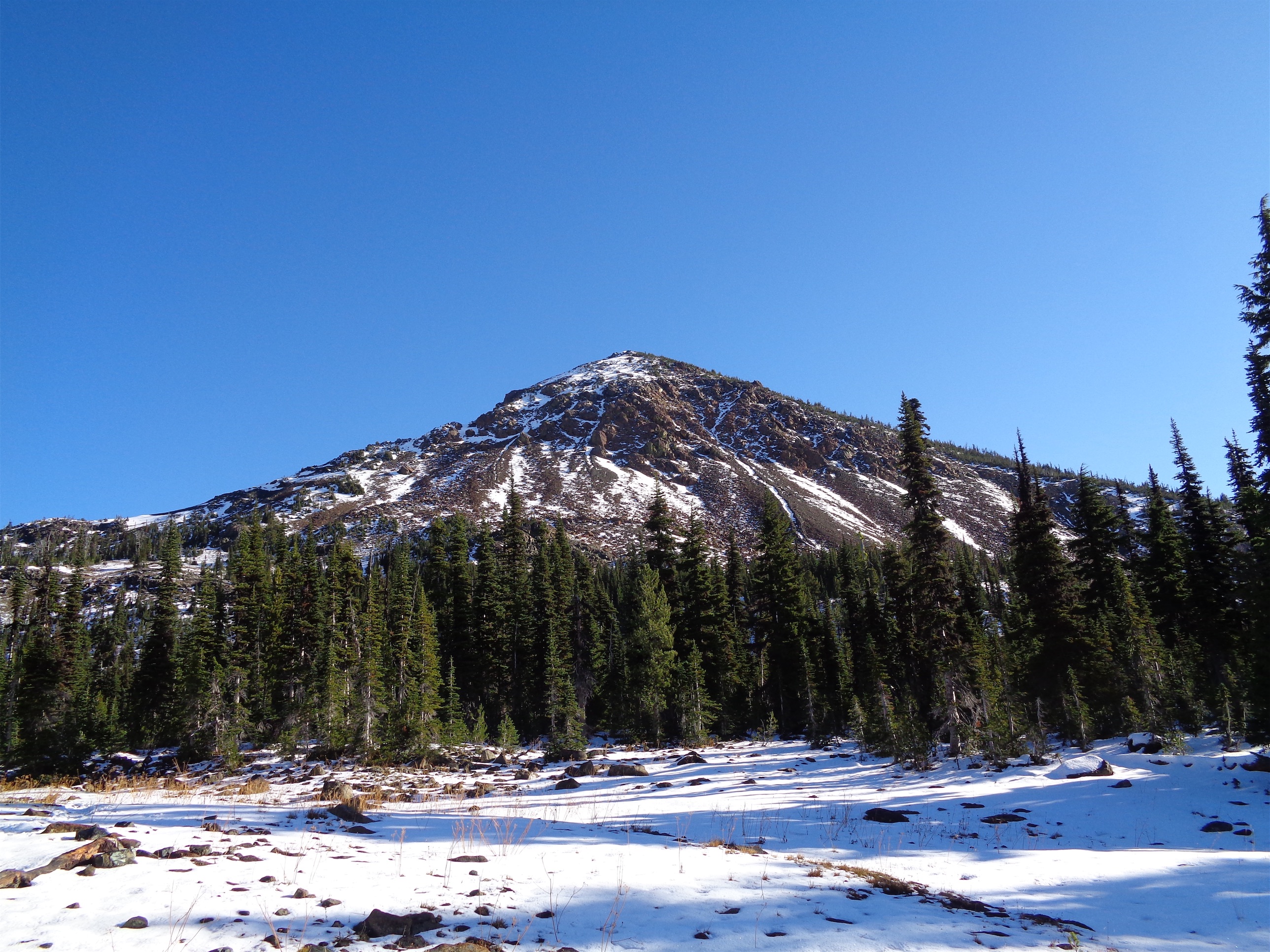
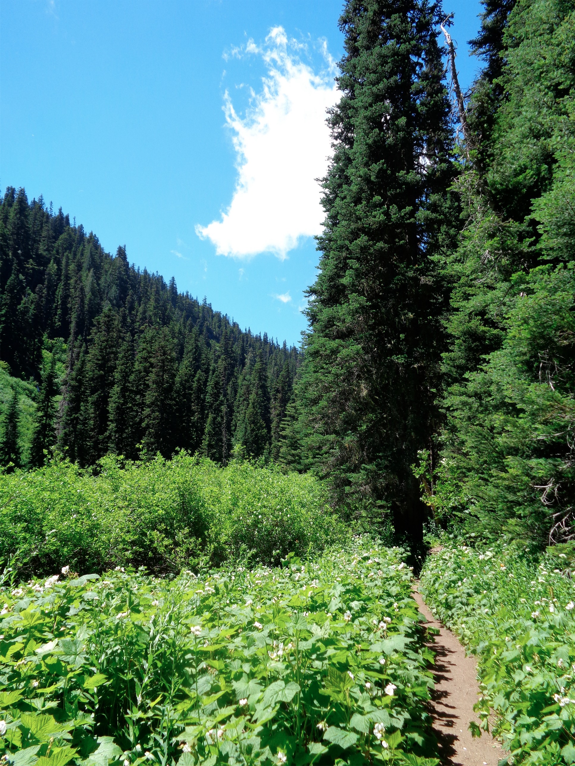
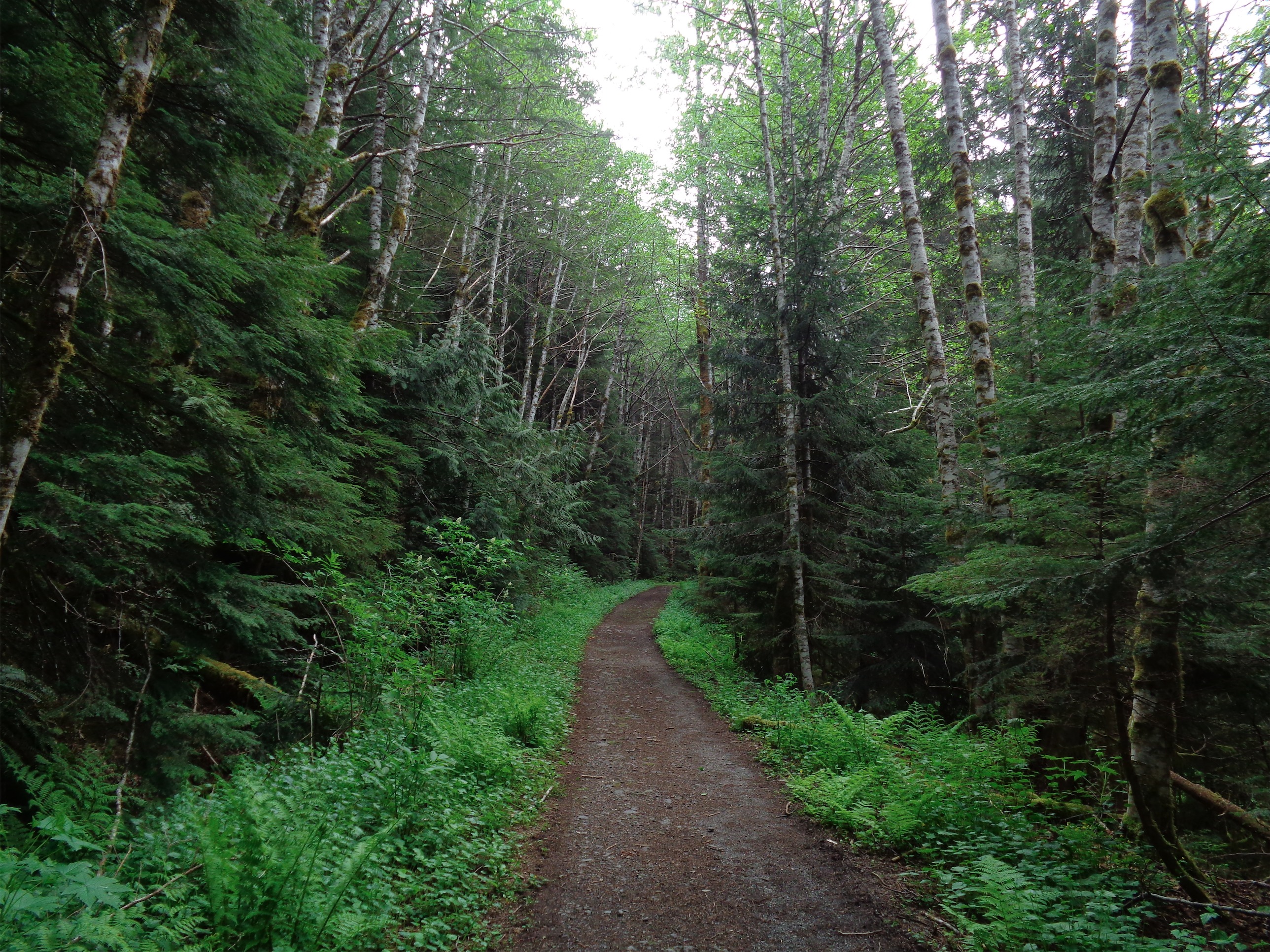
Starting out in soft forest
We were a little late getting started, but that meant I had time to devour two bacon/egg/cheese sandwiches from a gas station, switch my license plates to the correct ends of my car (yes, I’m an idiot), buy a bunch of snacks, and organize my pack. We left Seattle around 6:30am, and arrived at the trailhead around 8. Spent a few minutes getting organized, and we took off with me in the lead. Because I’m the best, obviously.

Foss River
Just kidding, it’s because I’m the slow one. Cooper casually runs like 80 mile weeks, so there was no chance he was leading. He even said straight up in the first mile “sometimes I push it too much and burn the other person out and they die towards the end, so don’t let me do that.” Okay Super Cooper, we’re going my slow ass forever pace and no faster, because I’m not being the running buddy who dies a few miles from the trailhead and has to hike back. It may not be fast, but we’ll get there and back with no issues.
Running past Jade Lake (on the way back)
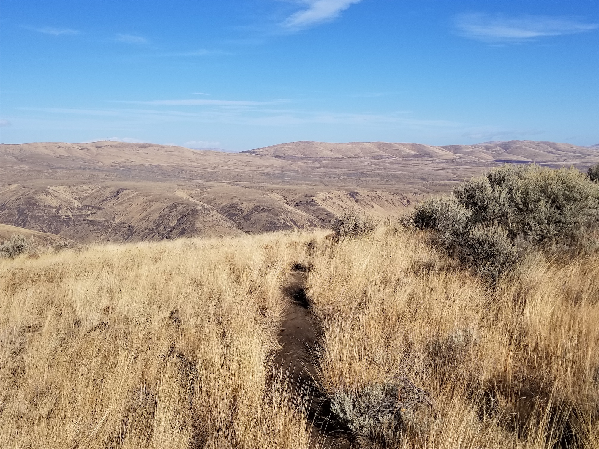
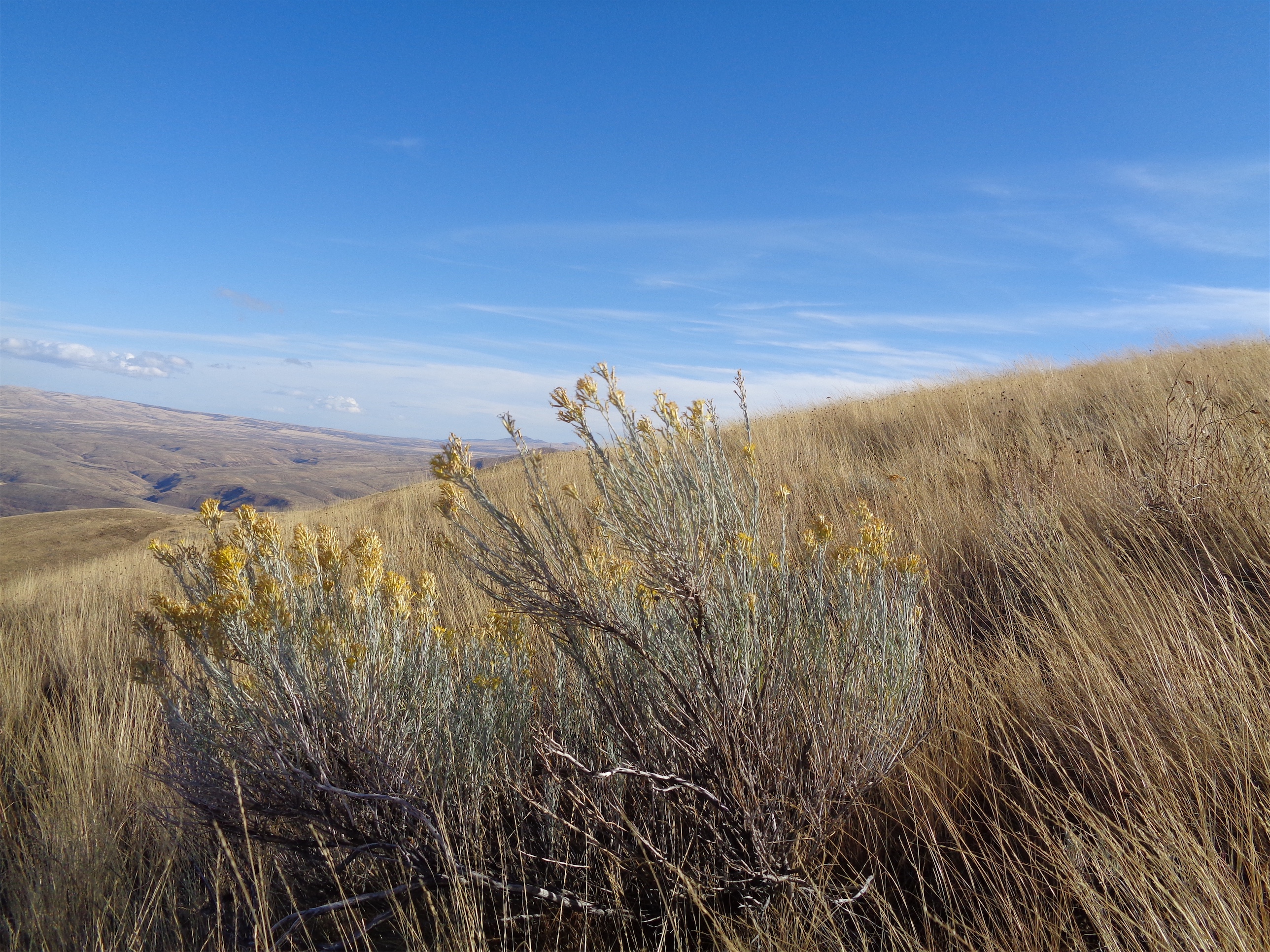
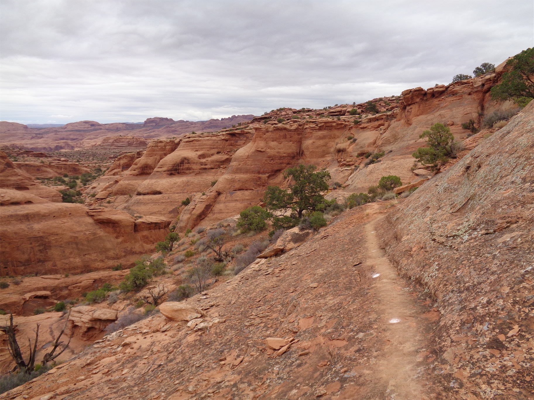
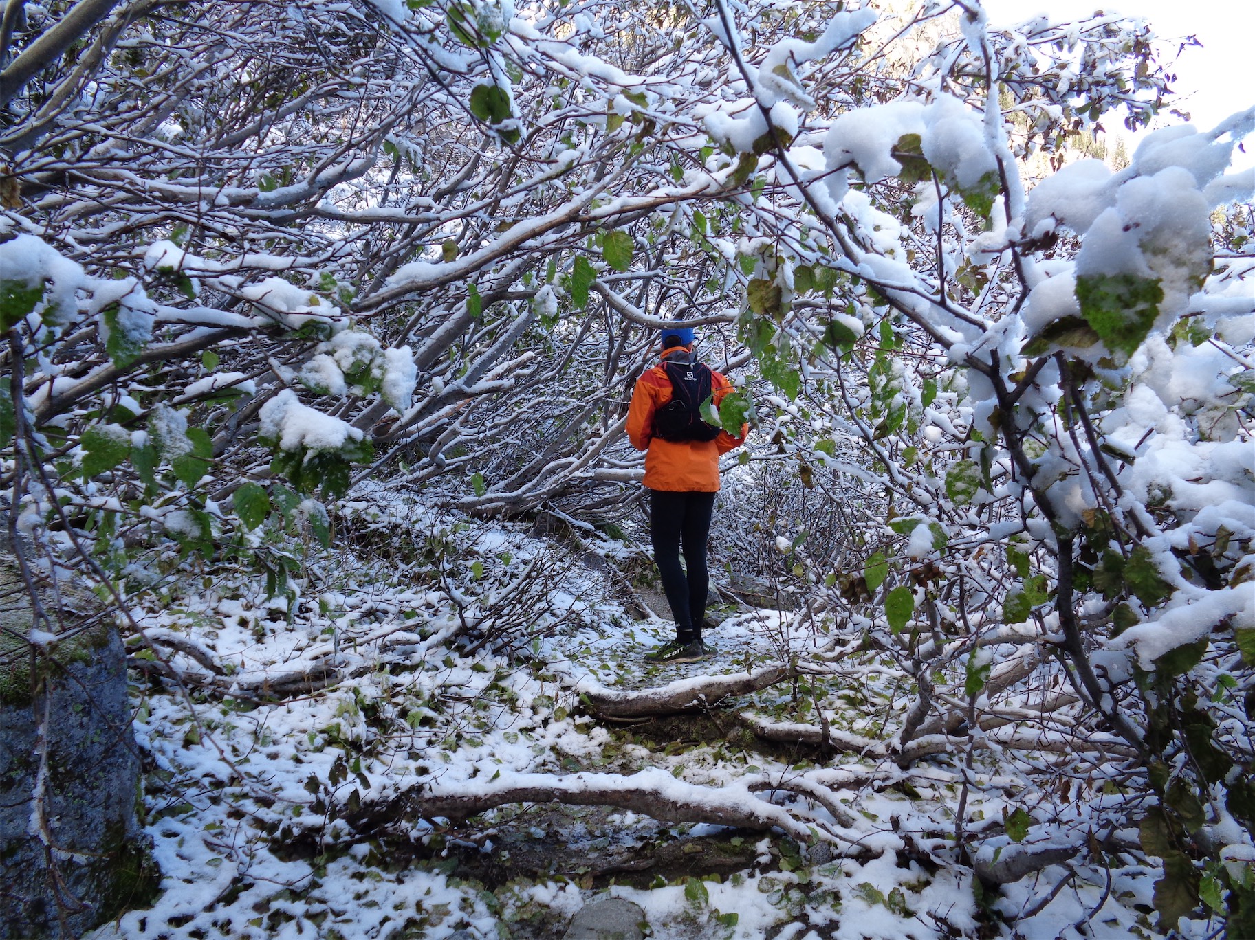
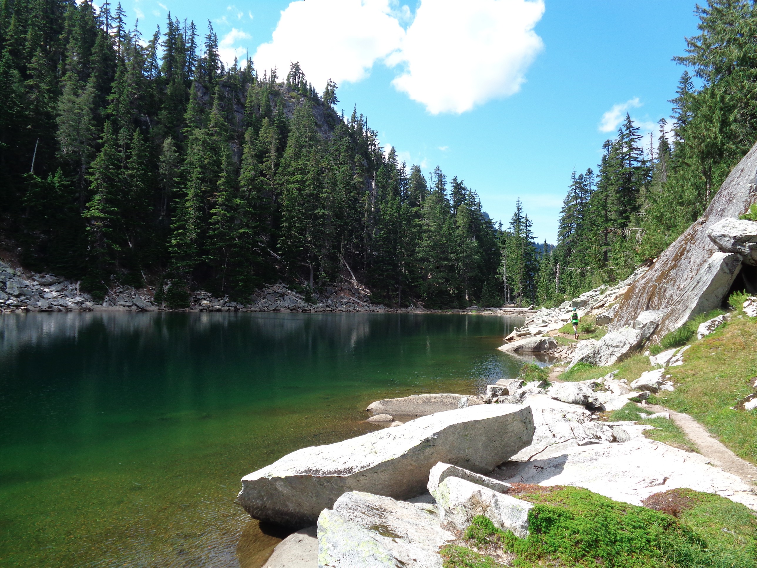
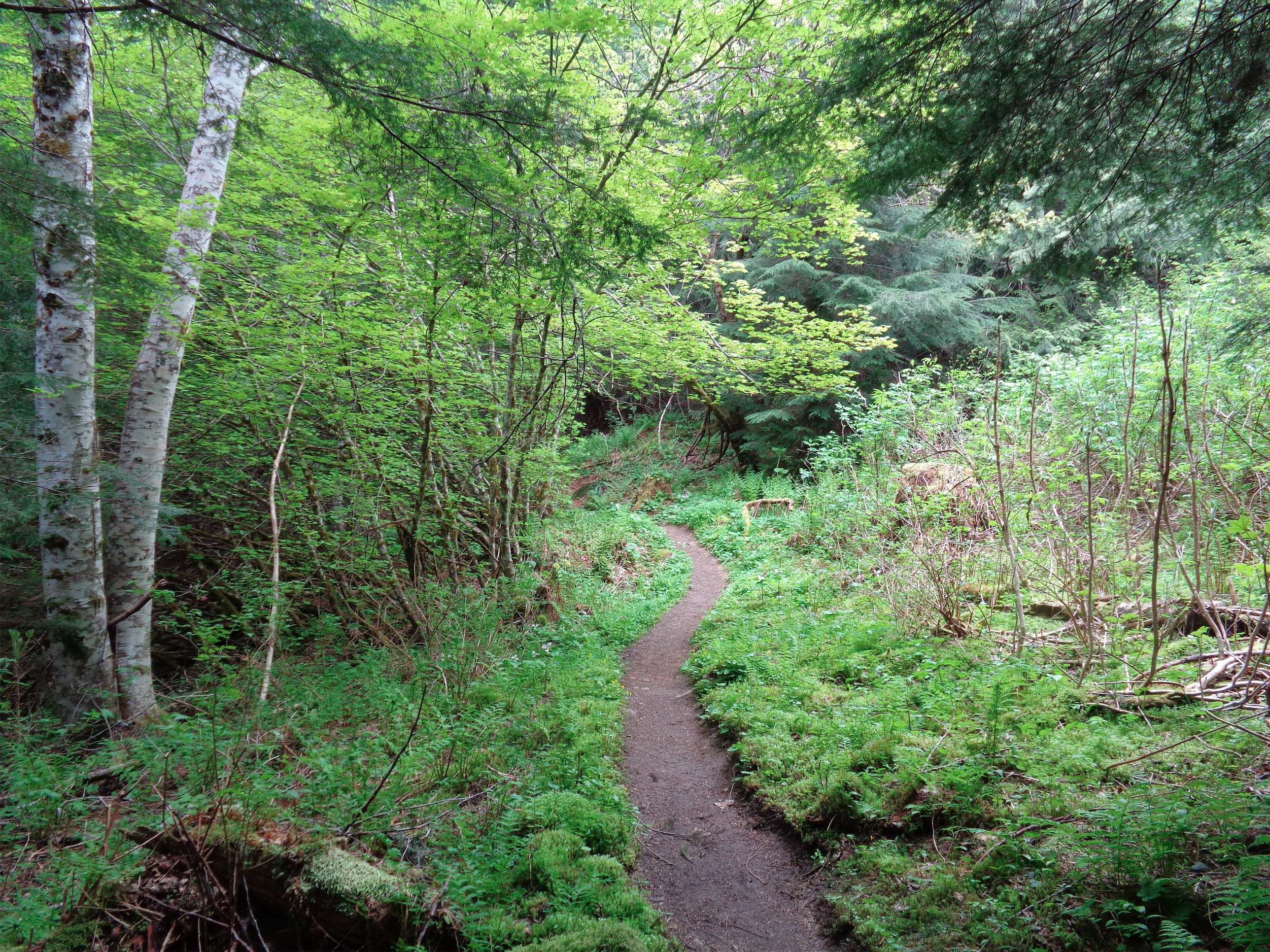
The first five miles of the trail are easy. 600ft of elevation gain total over those five miles, and it’s mostly soft, dirt trail through forest. There are a few overgrown-ish sections, but that was the worst of it. My legs had been feeling great from the beginning, which is rare when I drive out to trails. Usually the first mile or so sucks as everything loosens. The GPX file I had did not include the first ~1.5 miles, but eventually you come to a bridge crossing the east fork of Foss River. From there, the trail gets a little steeper, averaging ~800ft/mile gain. It switchbacks up a small talus slope before entering forest again.
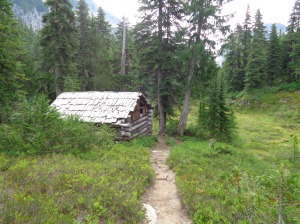
Cabin past Jade Lake
At this point, the skies had turned from sunny and blue to cloudy. God. Dammit. I was bummed. I didn’t come all this way to run 23 miles for a foggy summit. Come on, Hinman. I started trying to justify it. You don’t even know if you’ll make it, this can just be a recon trip, it’s still a good workout, the lakes will be beautiful… meh. We continued on.
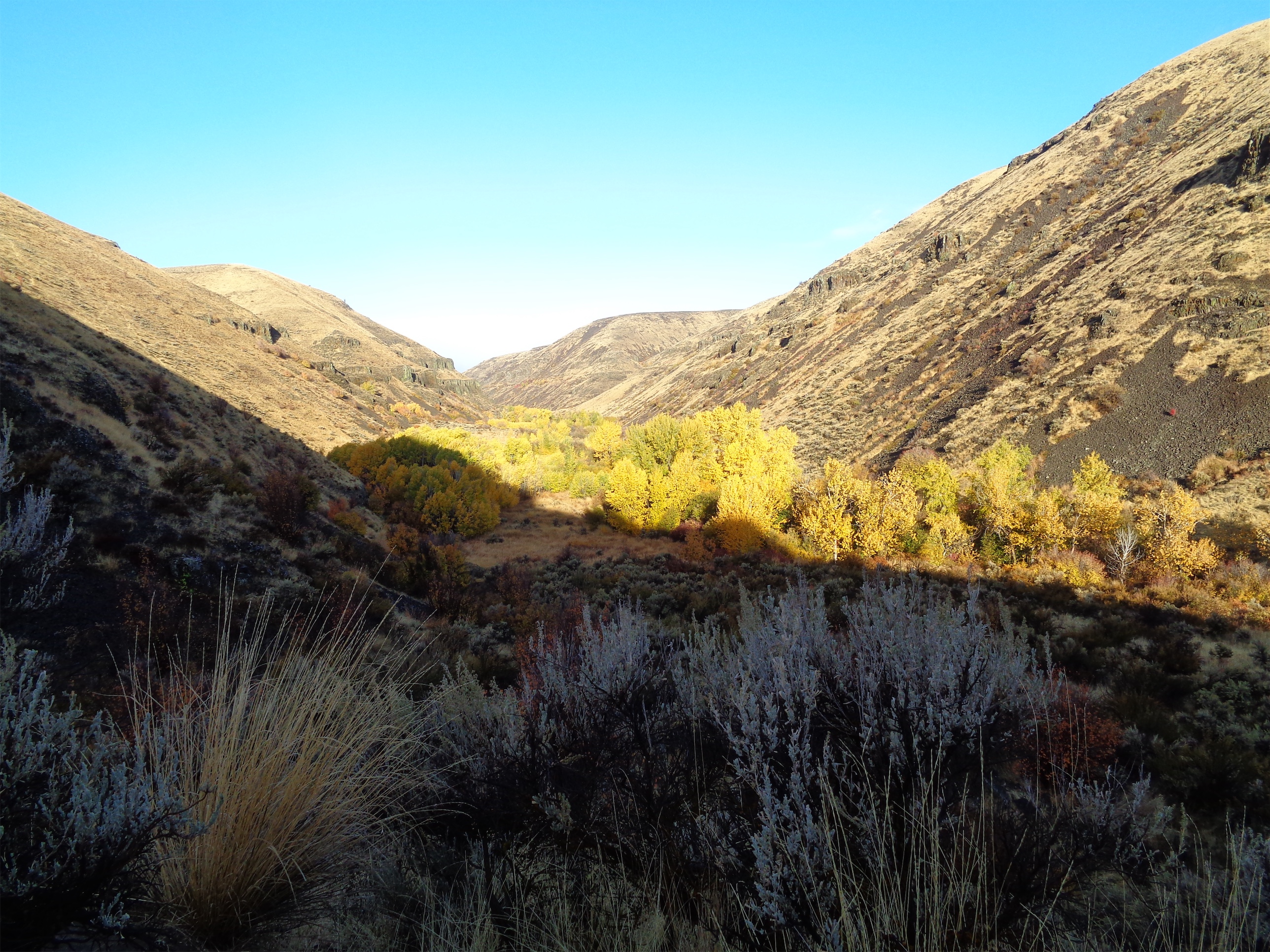
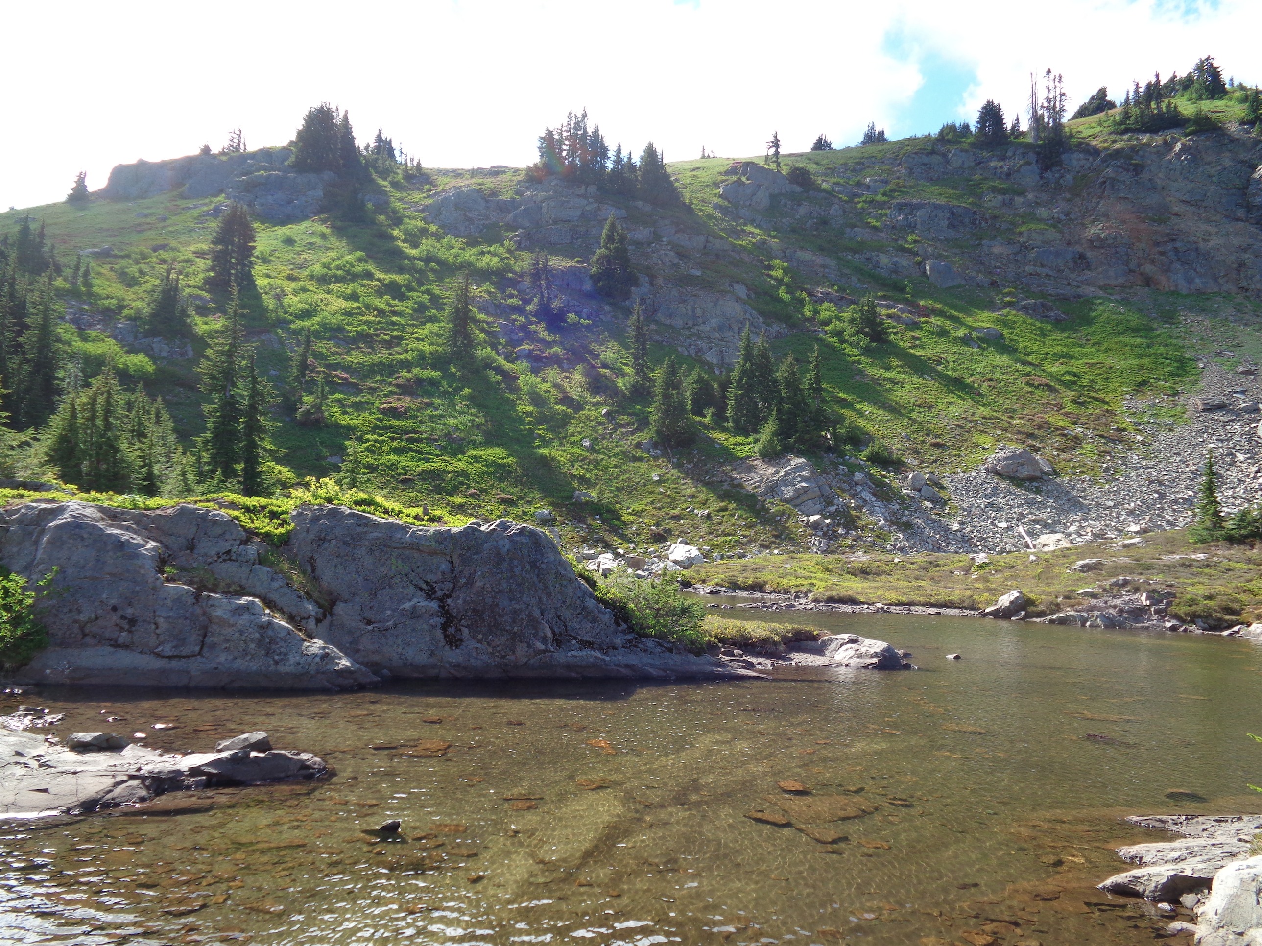
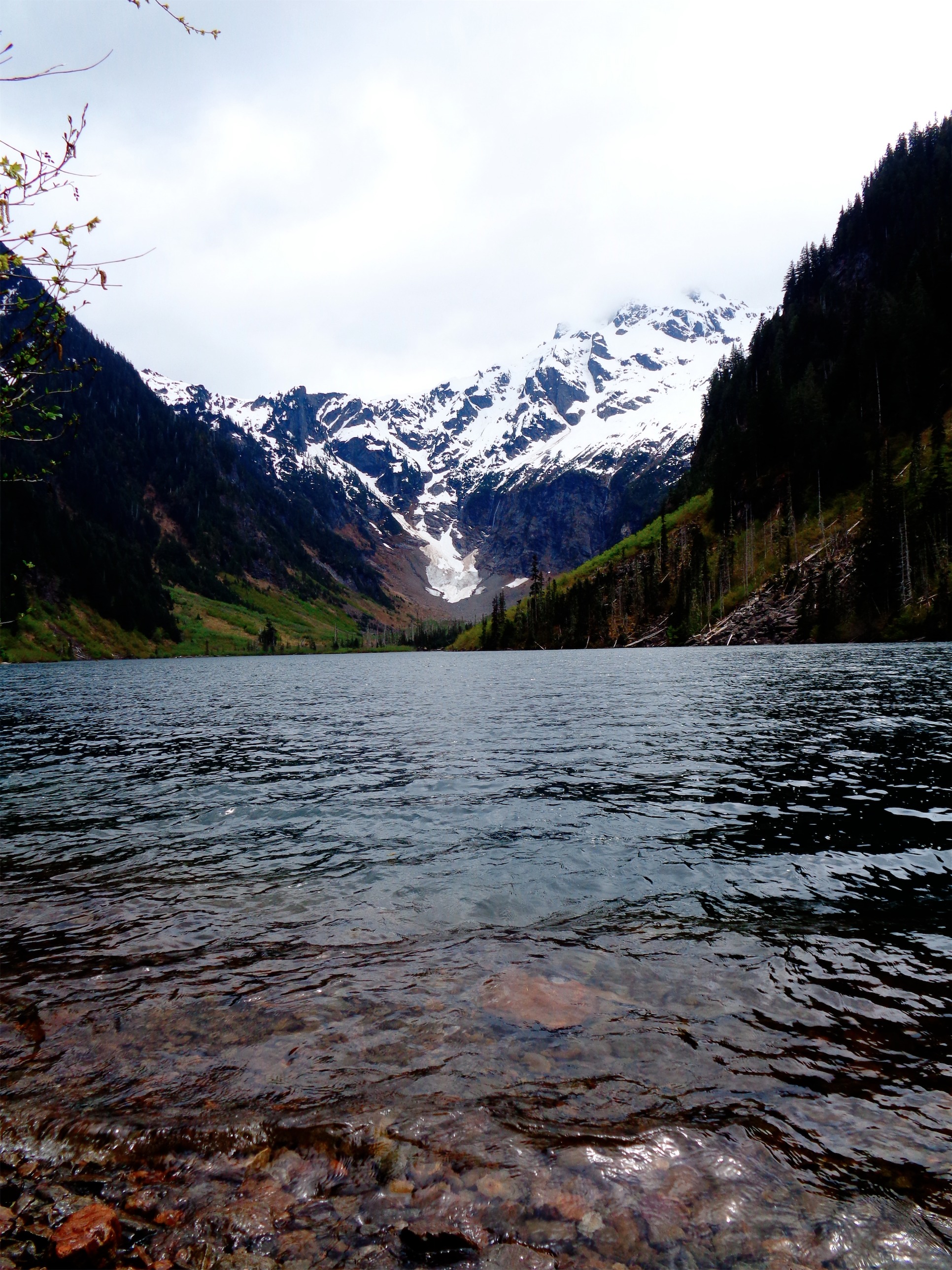
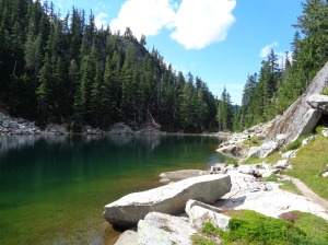
Jade Lake is about 7.5 miles in, and it was a morale booster finally reaching it. I hadn’t turned on Strava because I was worried about phone battery, so I wasn’t sure how far we had come or how far we had to go. There are two random mile markers for miles 7 and 8 (there might be more that we just missed) but those were good to see. Beyond Jade Lake, we found a cabin in the woods! More like a shanty/lean-to, but it was still a neat find. You’ll also pass Opal Lake and if you’re willing to explore, there are a few others as well, but we had a time limit and a destination to reach. Onward!
Head up and then left, around the trees jutting out on the left side. You’ll re-enter the trees farther up.
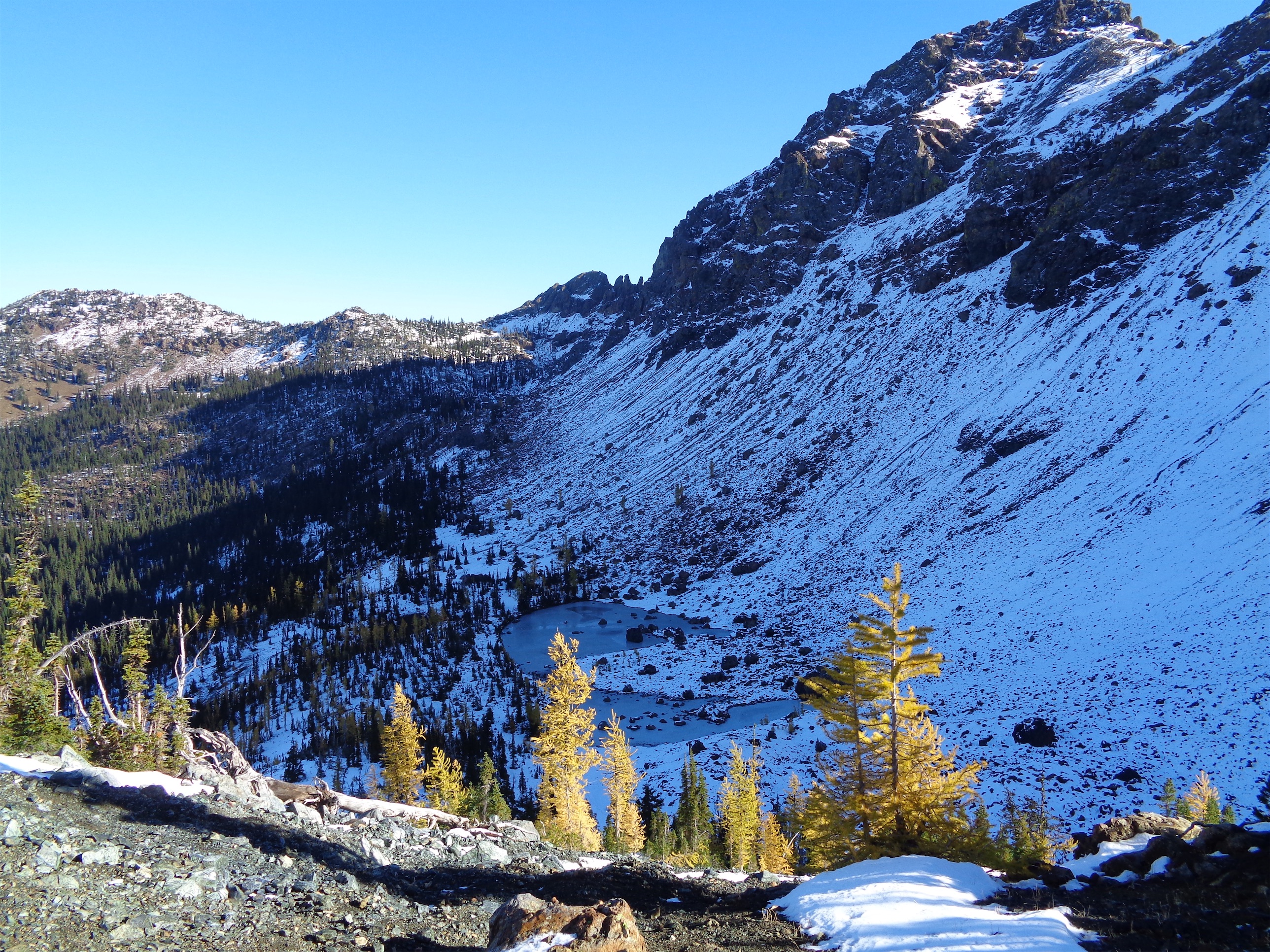
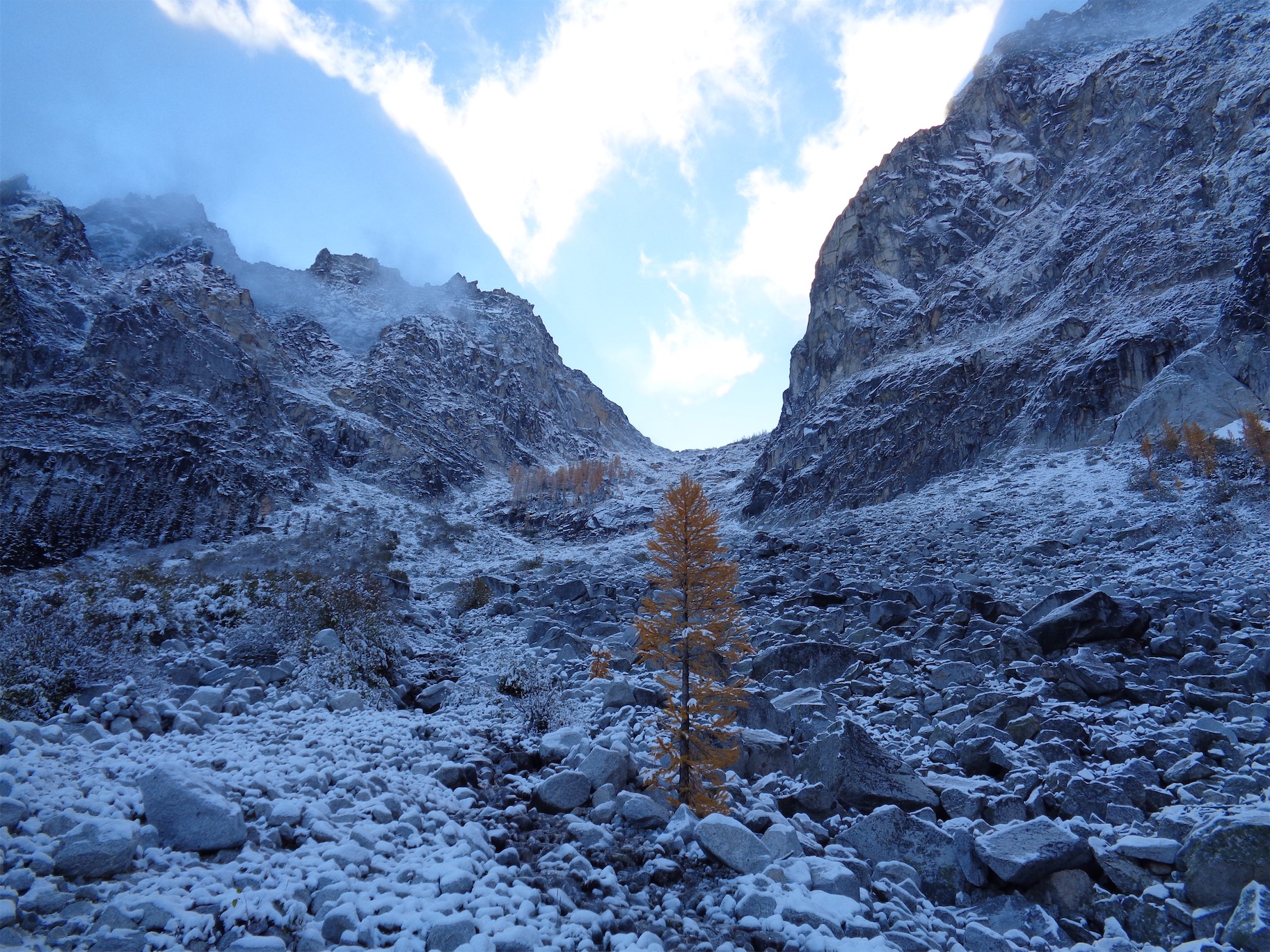
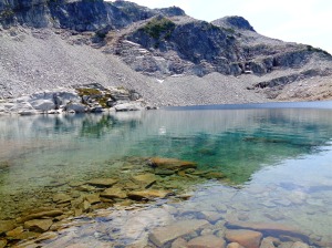
We got to the basin below La Bohn Gap and I finally had to whip out the map. Okay, we’re heading up and to the left. No cairns in sight. How far left? Maybe we can scramble up the middle so we can get a view of the left and scout out a trail? Do we go around those trees? Right when we were deliberating, we head “LA BOHN GAP?!” and look up to see a woman coming around the bend to the left. “YES!” we shouted, and she replied saying that’s were she was coming from! We hopped along the boulders up to her and stopped to chat. She had crampons and an ice axe, and the first thing I asked was whether she needed them. Nope! Apparently even La Bohn Lakes have snow this time of year during a year with normal snow fall. Not this year. She looked at our footwear and laughed a bit. “Hinman looked pretty runnable… which is what you look like you’re doing!” She had camped solo at the lakes for two nights, and headed down when it got cloudy since it looked like weather might be moving in. Luckily (she laughed again) it was clearing up. And it was! The clouds were parting, and patches of blue sky were showing. There was hope!
We thanked her profusely and continued up the boulder field with a few extra directions from her. Basically, from the basin, you head left around a patch of forest, and then you’ll find cairns. Don’t head towards the waterfall far left, which is what my map said, and don’t head straight up to the low point either. The cairns you eventually see will have you hike alongside the forest for a bit until a climbers’ path appears, and then you cut left into the trees (more like shrubbery) and go straight up to La Bohn Gap.
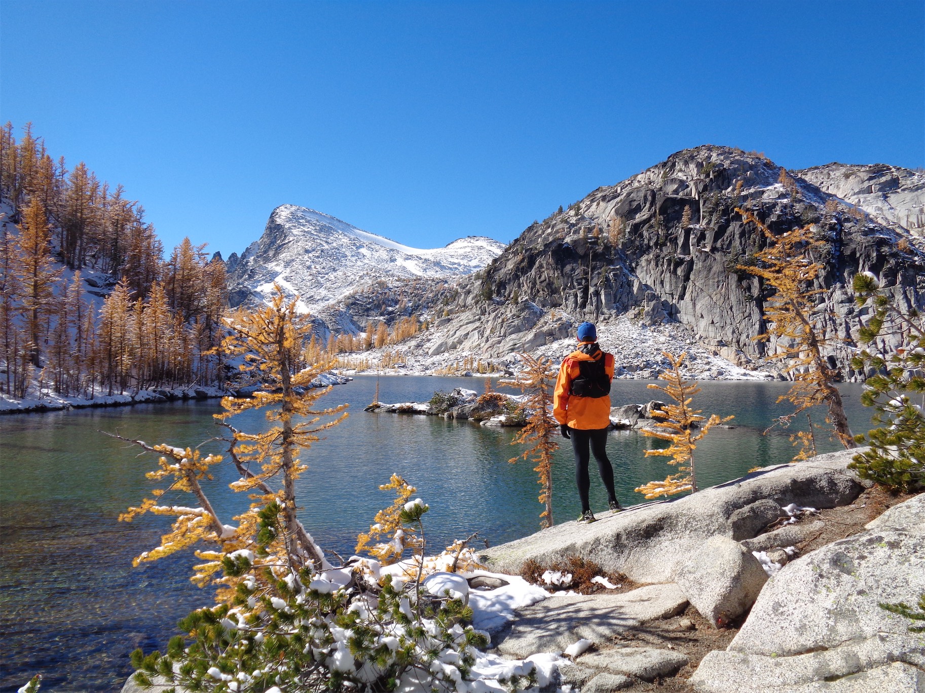
It’s so gorgeous I could barf
Ugh, La Bohn just STOP
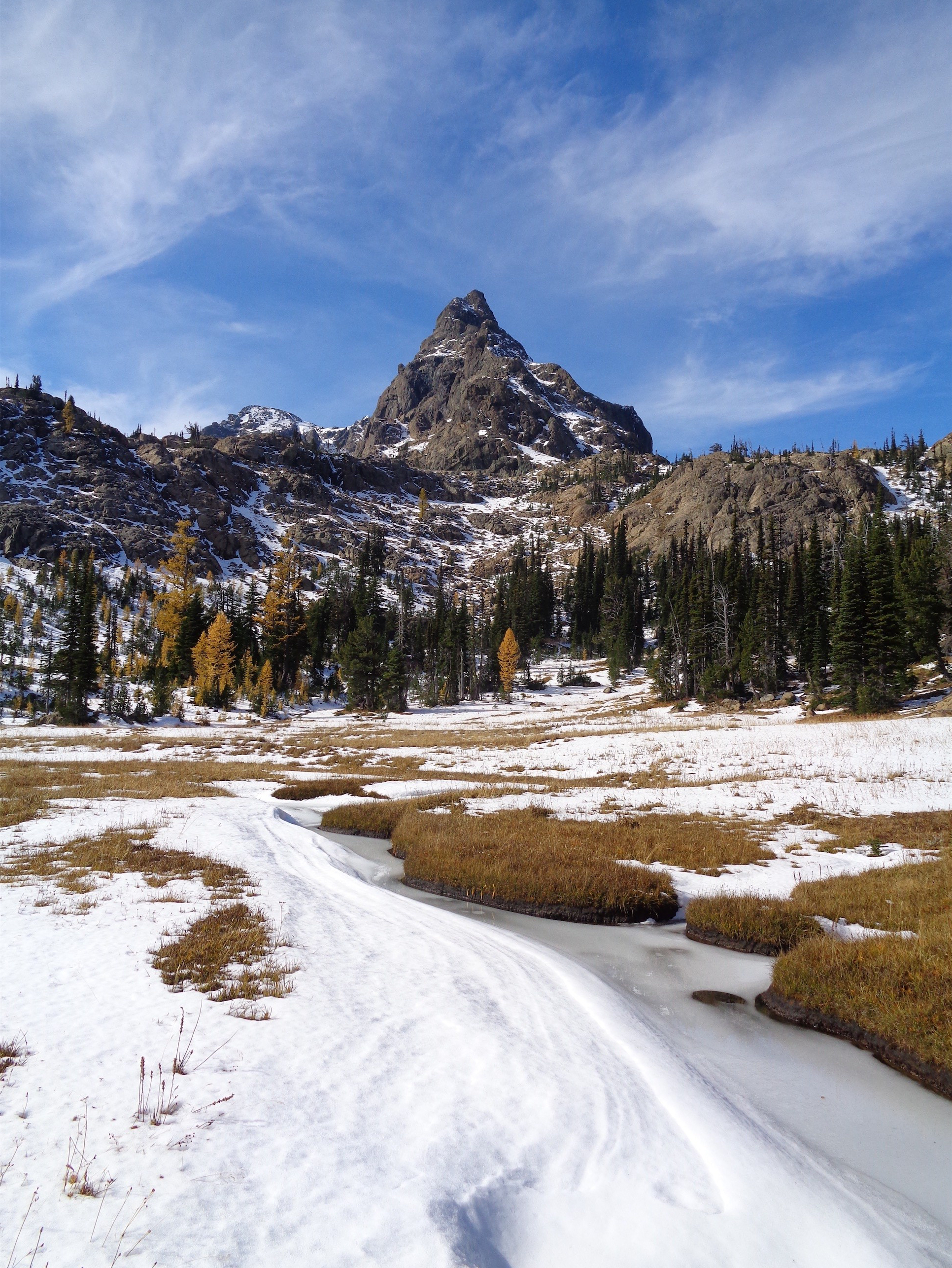
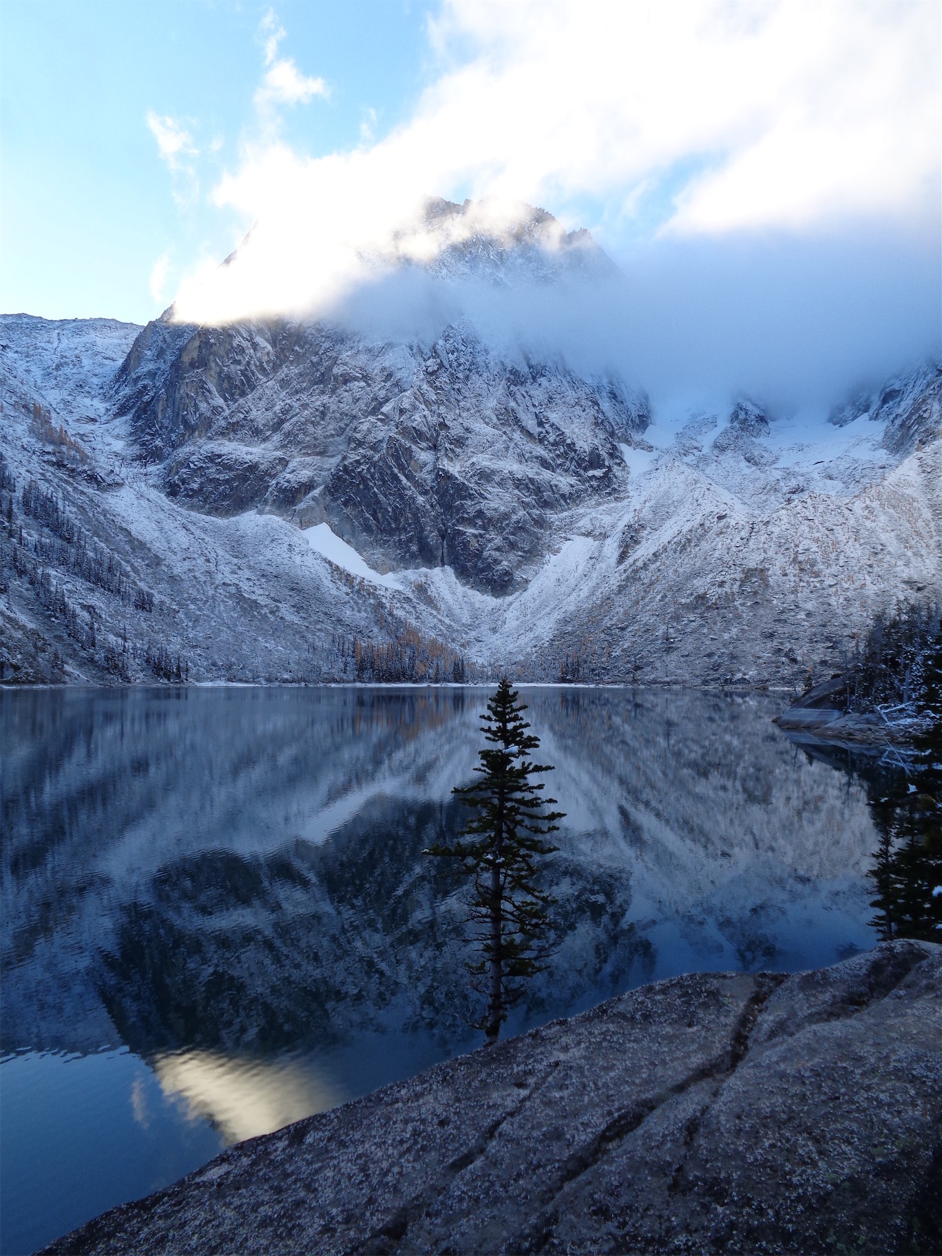
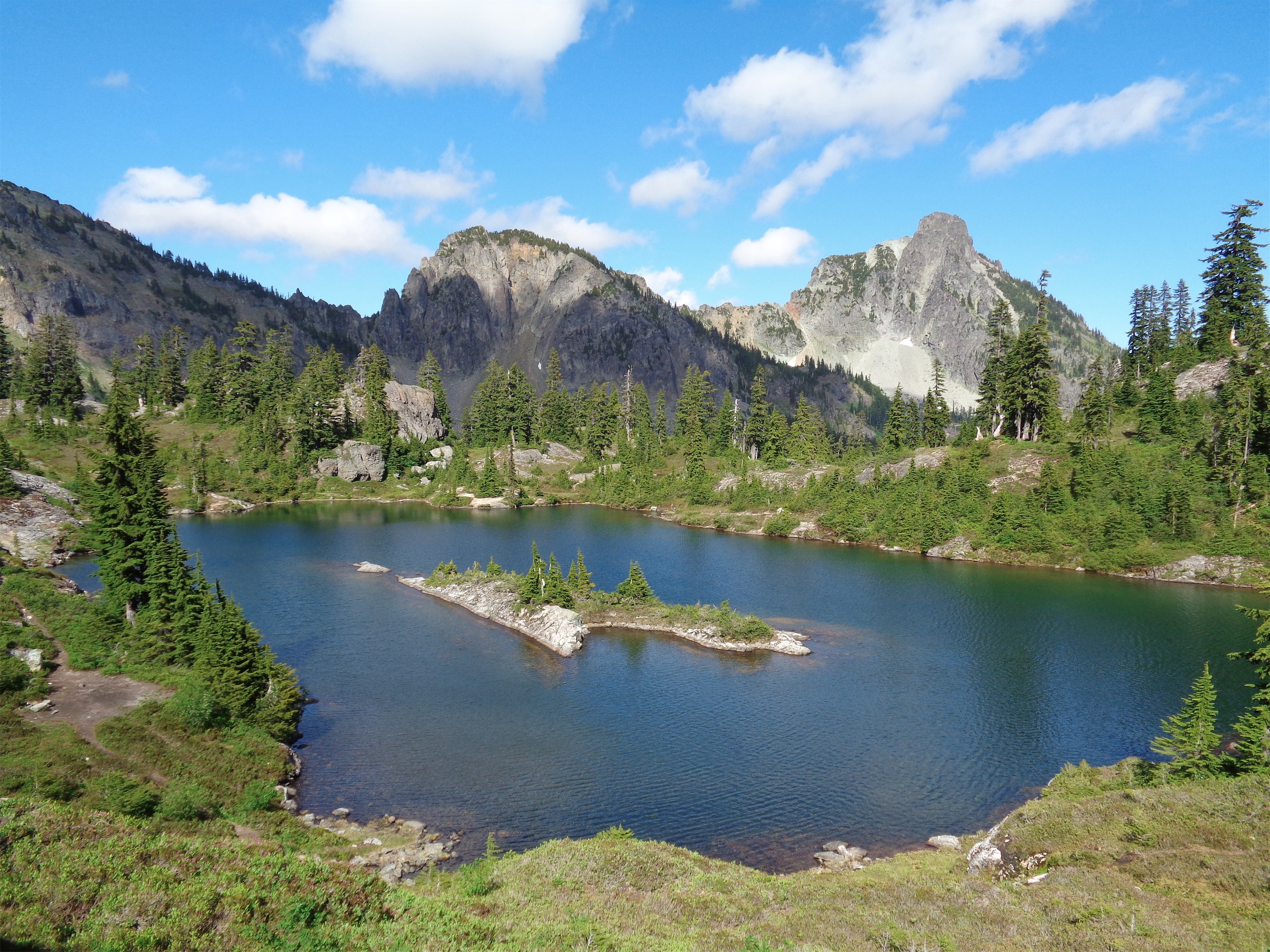
Okay. Freaking Washington. La Bohn Lakes might be the most gorgeous area I’ve ever seen out here. The lakes are unbelievably clear and blue and just stunning, there are rocky alpine spires and ridgelines everywhere you look. I got a burst of energy and started running again (we had hiked the boulder fields and climbers’ path) and essentially ran in circles next to the lake until my brain calmed down enough to take out the camera and start snapping pictures. Cooper, go stand over there! No, over there! Wait, more to your left! Okay okay that’s perfect oh my god look where we ARE you know wen something is just overwhelmingly beautiful? Take that feeling of awe and combine it with runner’s high, and you might as well be on drugs.
Summit Chief rising over one of La Bohn Lakes
Looking back down at La Bohn Gap
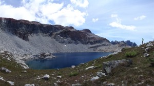
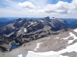
There are several lakes up in La Bohn Gap that you can check out. The whole area is a playground for adults. From the basin below La Bohn Gap, you can get up to Tank Lakes, the other side of the Necklace Valley (West Fork Foss River), Iron Cap, and then on our side you had La Bohn Lakes, Hinman, traverse to Daniel if you’re ambitious, there’s so much to do! Trail running is a much different form of appreciation for the outdoors than backpacking. You don’t sit down and soak in views as much, instead you’re running along the ridge line with a ridiculous panorama in every direction because you’re on top of the world. Mentally, physically, and emotionally. It’s an incredible feeling.
We took a quick snack break at the lakes, and refilled water since we knew there wouldn’t be any once we were up on the ridge. And then we started to pick our way up the boulder field between the two biggest lakes in La Bohn Gap, aiming for the ridge line we knew would take us to Hinman.
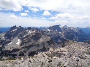
How good would these guys look in snow? So good. Bears Breast and Summit Chief over Lake Rowena
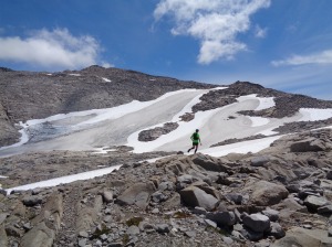
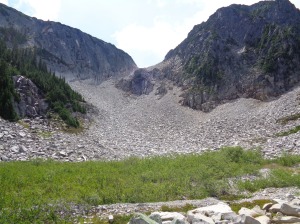
Running past the Hinman Glacier
Gaining the ridge, views open up below you. As always, it’s a great moment. The Hinman Glacier is pretty small, but it’s there, and it was just about the only snow/ice in the area. Most of the ridge line was completely melted out, which meant for lots of boulder hopping. I couldn’t help but think how gorgeous this area would be in winter. You can’t run it in a day, but I love how rocks, ice, and snow look. I’ll take a few days to get back there when snow hits again.
Fighter jet!
You can see the true summit when you first gain the ridge. It’s the black, wall of jagged vertical rocks jutting out along the east end of the ridge. We followed the ridge, mostly hiking, and I couldn’t believe where we were. Bear’s Breast and Summit Chief look amazing, and Daniel is a hulking massif to the east. In the other direction, Glacier and Sloan were both out. The sky cover was perfect. Some puffy clouds, some wispy clouds, just enough that we had tons of views but weren’t baking to death up on the boulder fields. We gained the false summit (oops) and had to climb back down and over to the true summit. At one point, two fighter jets flew overhead. We heard them before we saw them come swinging around a peak, with the sound coming from space a little bit behind them. I remember the first time I heard them in the mountains, I hit the floor I was so scared. Now I hear it and I get excited and start looking. They made two laps, but the first was the best. So cool.
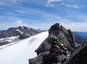
Cooper on the scramble to the summit
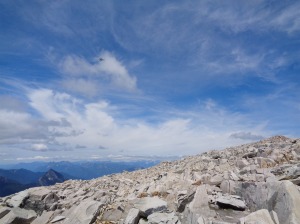
The scrambling along the true summit (the jagged, vertical rocks I mentioned) was trickier than expected. There were a few fourth class moves, and the rock was very loose without great handholds. We didn’t make it all the way to the eastern end, but being within a few feet of the highest point was enough for me to count it. Even if I stood next to that tallest spire, I’d never get on top of it, so we’ll call it a day.
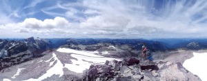
Panorama from just below the true summit
Negotiating the last few steps, Daniel and Stuart in the background (WHO LIKES SHORT SHORTS)
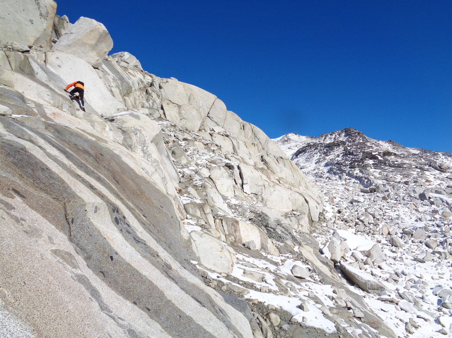
I snagged a few panoramas and pictures of the views, and we headed back down low to take a break back at the lakes where it wasn’t as windy. At Cooper’s urging (Cooper who runs scree slopes for fun) I decided to give running across talus a try. And so, for the first time, I ran across a talus field. More like an expedited-running-form-boulder-hop, and I still hesitated before some of the bigger steps and when I couldn’t pick a good line quickly enough, but it was still a really cool experience. I ran up to Cooper laughing at one point (he had to stop and wait a few times along this section), because I realized if someone told me last fall I’d be running talus fields on top of Hinman, I’d say you were crazy. But there we were.
I had a trail running customer ask me the other day how you do it. I had mentioned one of my favorite trail running loops close to Seattle (Melakwa Lake, since you can connect to so many other lakes in the area) and she looked surprised, and said the reason she was getting hiking boots was because she had hiked that exact trail and thought it was too rocky for her running shoes. She had mostly run around Cougar and Tiger mountains, and wanted to branch out. My answer was time and practice. And patience. And maybe a high pain tolerance. Going slowly, tripping a million times, stubbing toes everywhere. I showed her my scabby calves from the past few days and told her I’m more scratched up from trails this past week than a five year who keeps falling off the monkey bars on the playground. But it’s true. You get better, and soon you’re flying over trails like that without a thought. Running across the talus fields was like a puzzle you have to figure out quickly. I’m at the point where I wonder if it’ll ever become second nature, but that’s what I thought about rocky/rooty trails at first too.
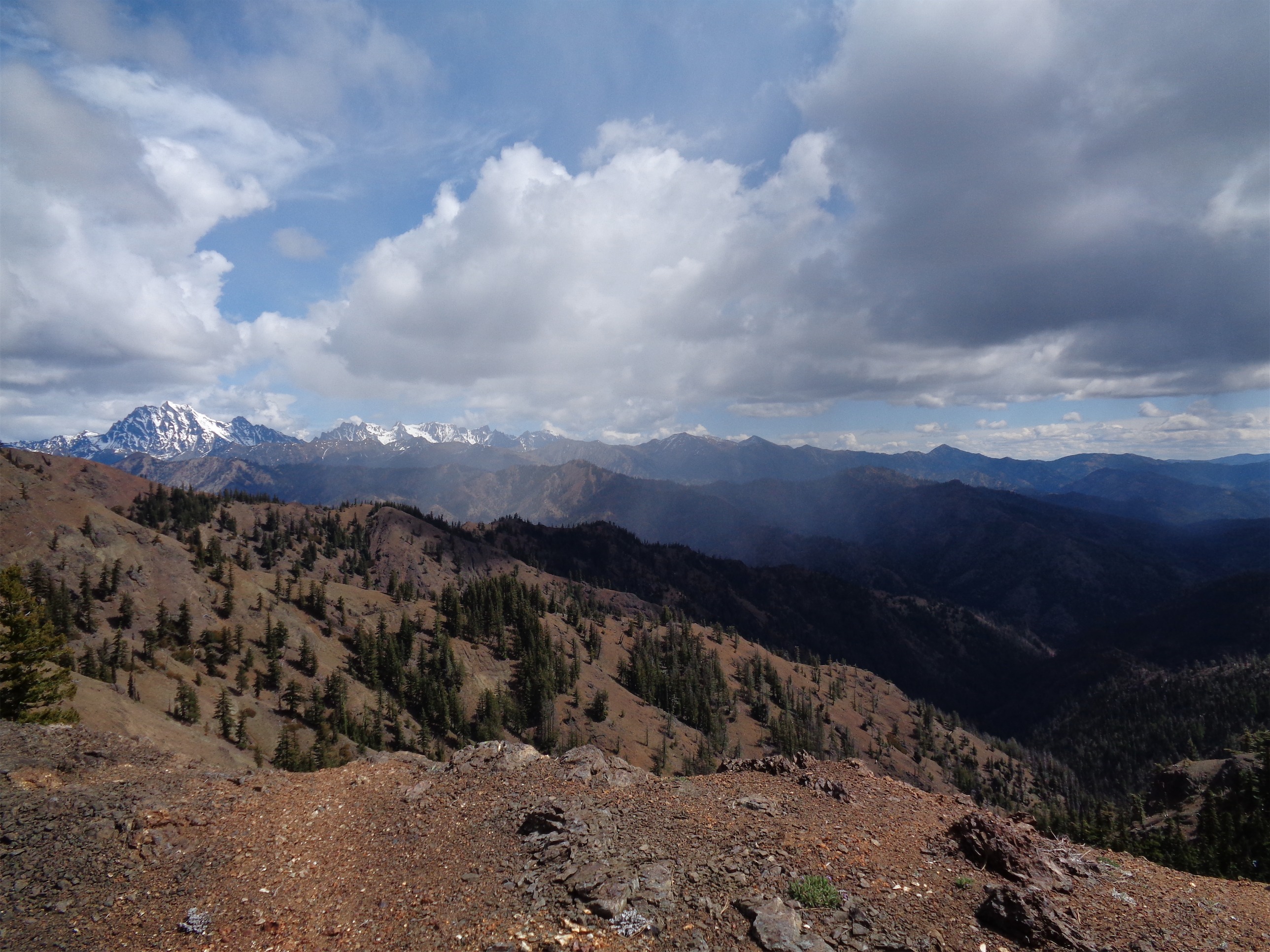
Running back down the ridge with Bears Breast and Summit Chief in the distance
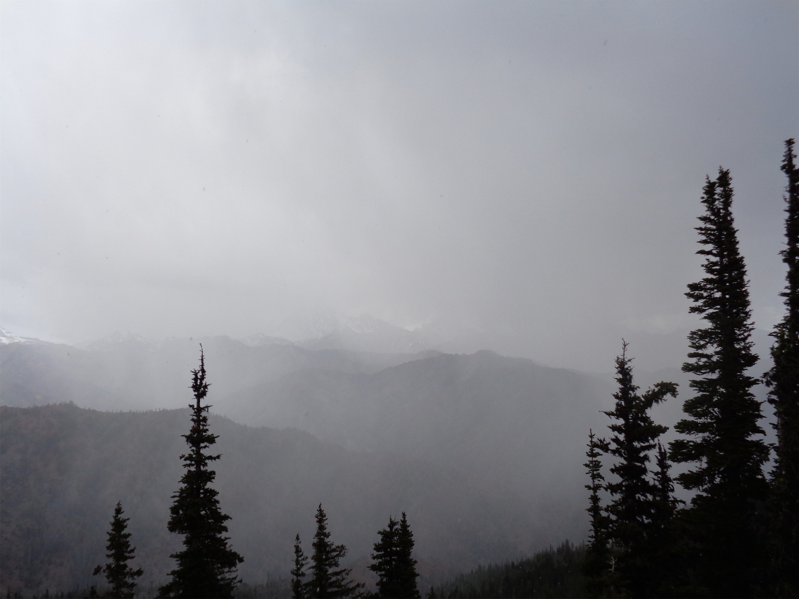
Clouds moved in a bit more as we got back down to La Bohn. We picked a different route on the way down to save time: when it’s a talus field, the whole slope is your kingdom. Quick break at La Bohn again, this time in the clouds. It’s amazing how different lakes can look in clouds versus sun. Sun lights up the colors and really shows you how clear they are, whereas in clouds they often just look blue. Still a stunning area.

Back down to La Bohn
Back down to the basin, and from there, we knew the rest of the way would be 100% legitimately runnable. We flew down. On the way up we had hiked the three steeper miles, but on the way down, that’s just a footwork game. I insisted on a quick snack at a campsite after the first bridge. I can tell I’m hungry when Gu starts to sound delicious, and that caramel macchiato gu was singing my name. After that, it was five or so short miles back to the trailhead, which is where we learned that the GPX file for some reason doesn’t include the first 1.5 or so miles from the trailhead out. We were back in the car at 5:30, and in Seattle just after 7. Would have been earlier if not for traffic. Either way, I was home just in time to move the last of the furniture from my old apartment, and immediately went to bed. Woke up the next morning, surprised to find that my legs were mostly fine from the previous day. You know what that means? Next time will be faster and farther!
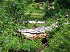
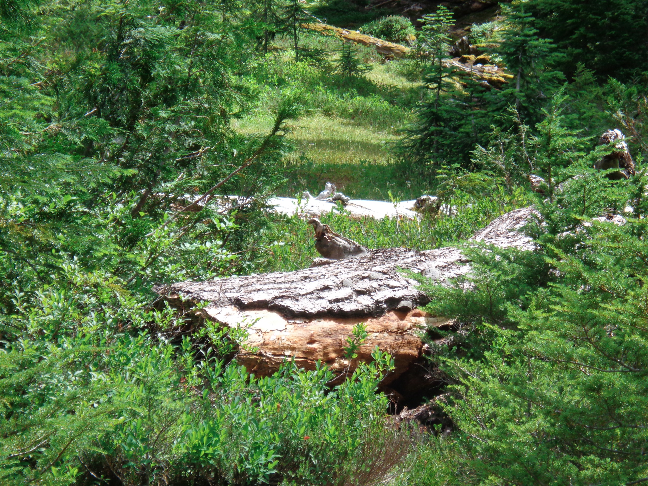
We were 100% convinced this was a bird. It’s a log. I won’t tell you how long we stared.