Working on my gaitor tan
- Distance: 13 miles
- Elevation: 4900ft gain (7115 highest point)
- Weather: 70’s and sunny
- Commute from Seattle: just under 3 hours without traffic
- Did I Trip: Yes
It was my last off day before a potential 19 day streak of work (yes, I’d love some cheese with my whine) with no off days, not even a half day. So I had high hopes that it’d be a five star day, and hopefully leave me sore and tired enough that I’d spend at least two or three days not concerned with hiking and running. As usual, it did the opposite. I got down, wasn’t too sore, and spent the next three days freezing the 1990’s-era computers at REI on my breaks because I had too many summitpost pages open. Oops.
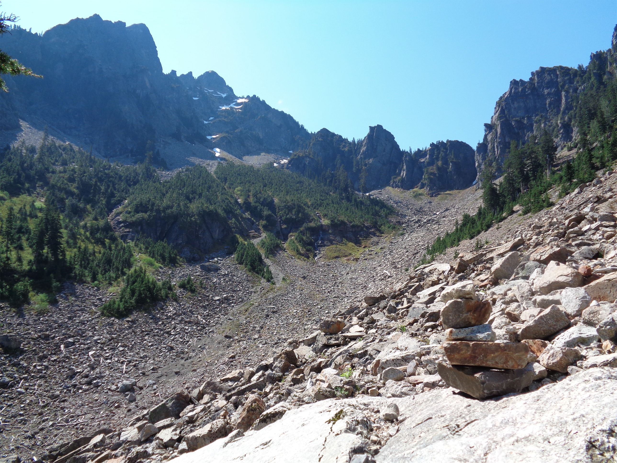
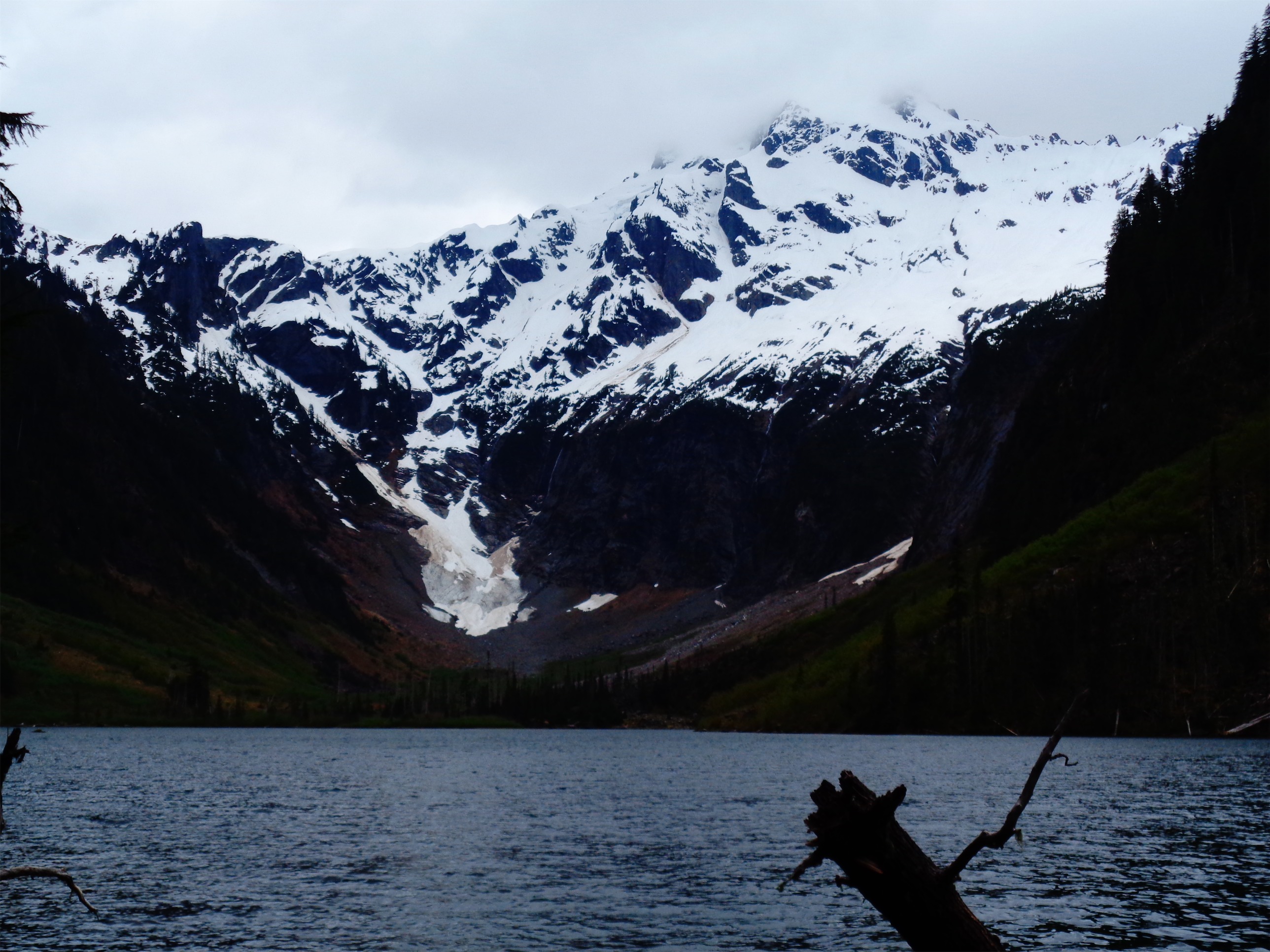
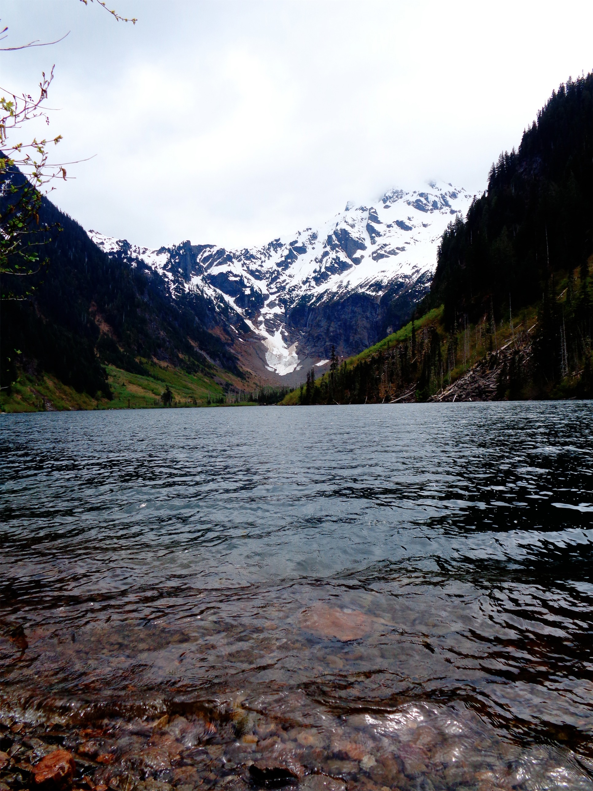
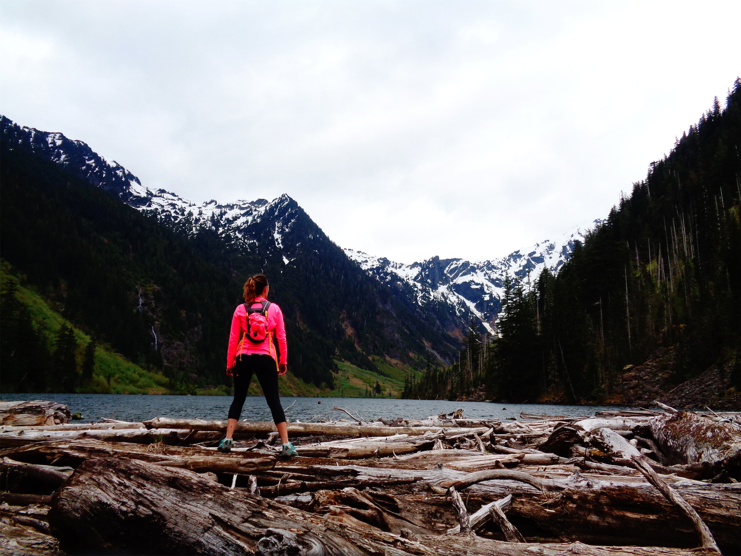
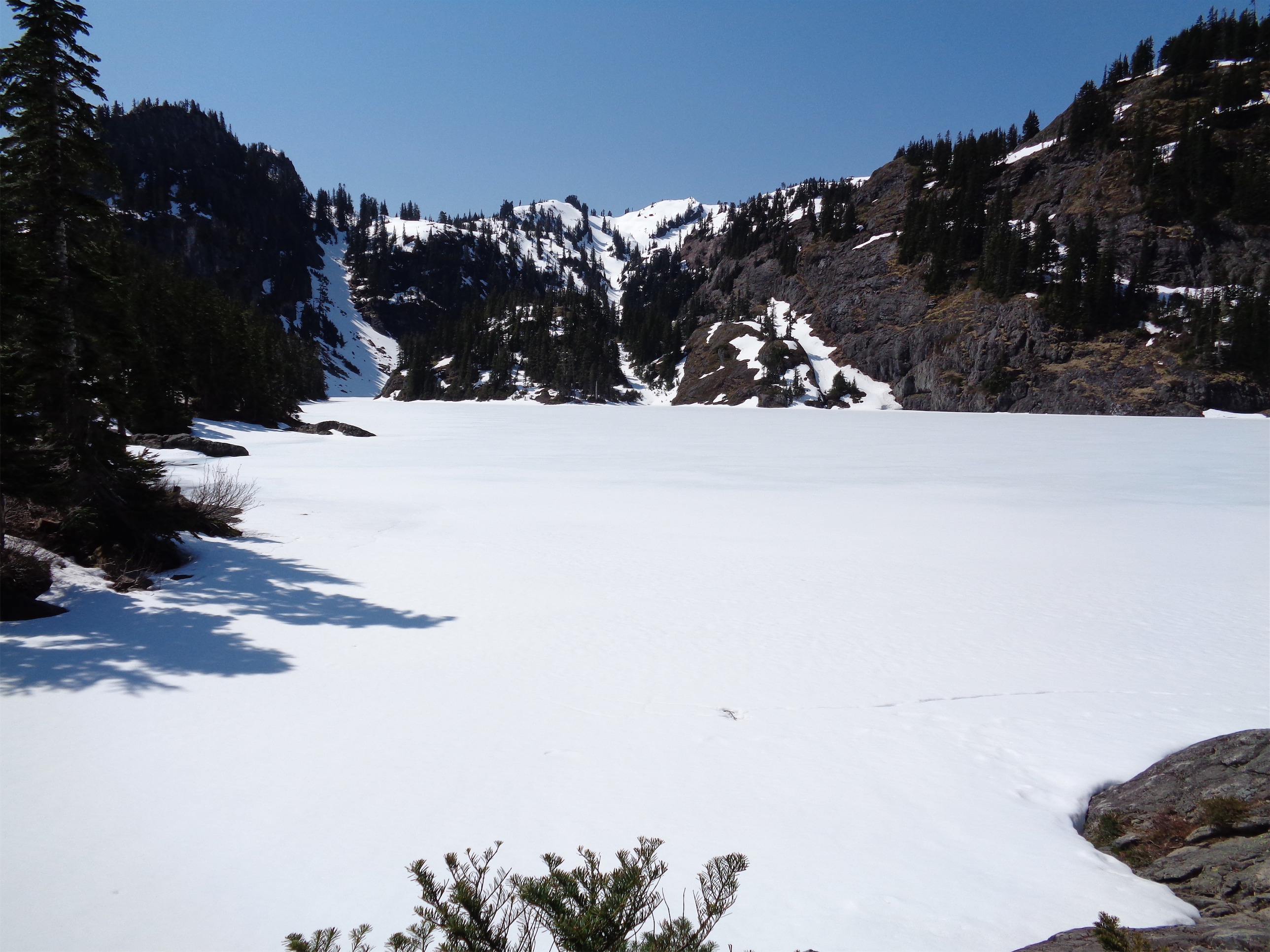
Ruth at the end of the valley
The day was off to a rough start. I was running a few minutes late because I realized I didn’t have snacks. “Hey guys, I’m gonna be 5 minutes late – stopping at QFC!” to which Brian replied “no worries” and Kyle 15 minutes later “yeah… I’m going to be a lot later than that.” Okay, so I woke everyone up with my “5 minutes late” text. Great. I got to Brian’s, parallel parked my truck like a pro, had some frosted flakes, and waited another 45 minutes for Kyle. Finally we got on the road around 7. Ruth wasn’t that hefty of a day, so I wasn’t too worried, and frosted flakes are surprisingly delicious.
The drive was overall uneventful, except for the part when I heard a big sigh followed by an explosive f-bomb come from the passenger seat. I asked what was wrong. “Guys…” What could possibly go wrong? What’d you forget. A beer? Snacks? Your phone? “Guys I forgot my boots.”
I should have braked immediately and pulled over for dramatic effect but instead I cracked up. Kyle forgot his boots. On a peak we were planning on using mountaineering boots and crampons. Well I had a few hiking shoes and trail runners in the trunk at least (it’s turning into a mini hiking closet due to the abject lack of space in my apartment), and we had Brian pass them forward one at a time so Kyle could see if he could cram his foot into them. No dice. We figured we’d improvise, we were already two hours away and not turning around to get boots.

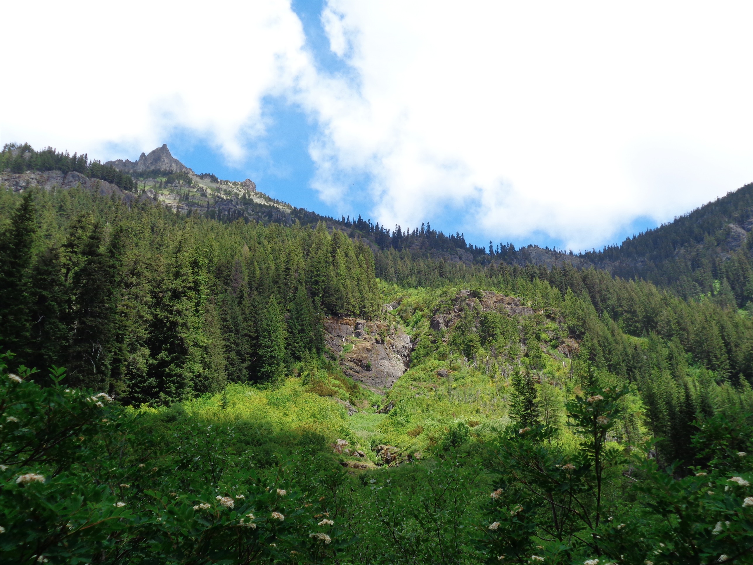
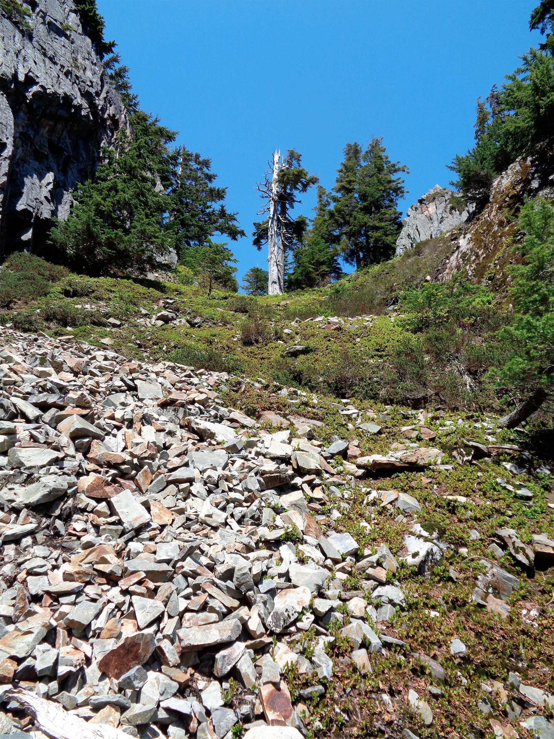
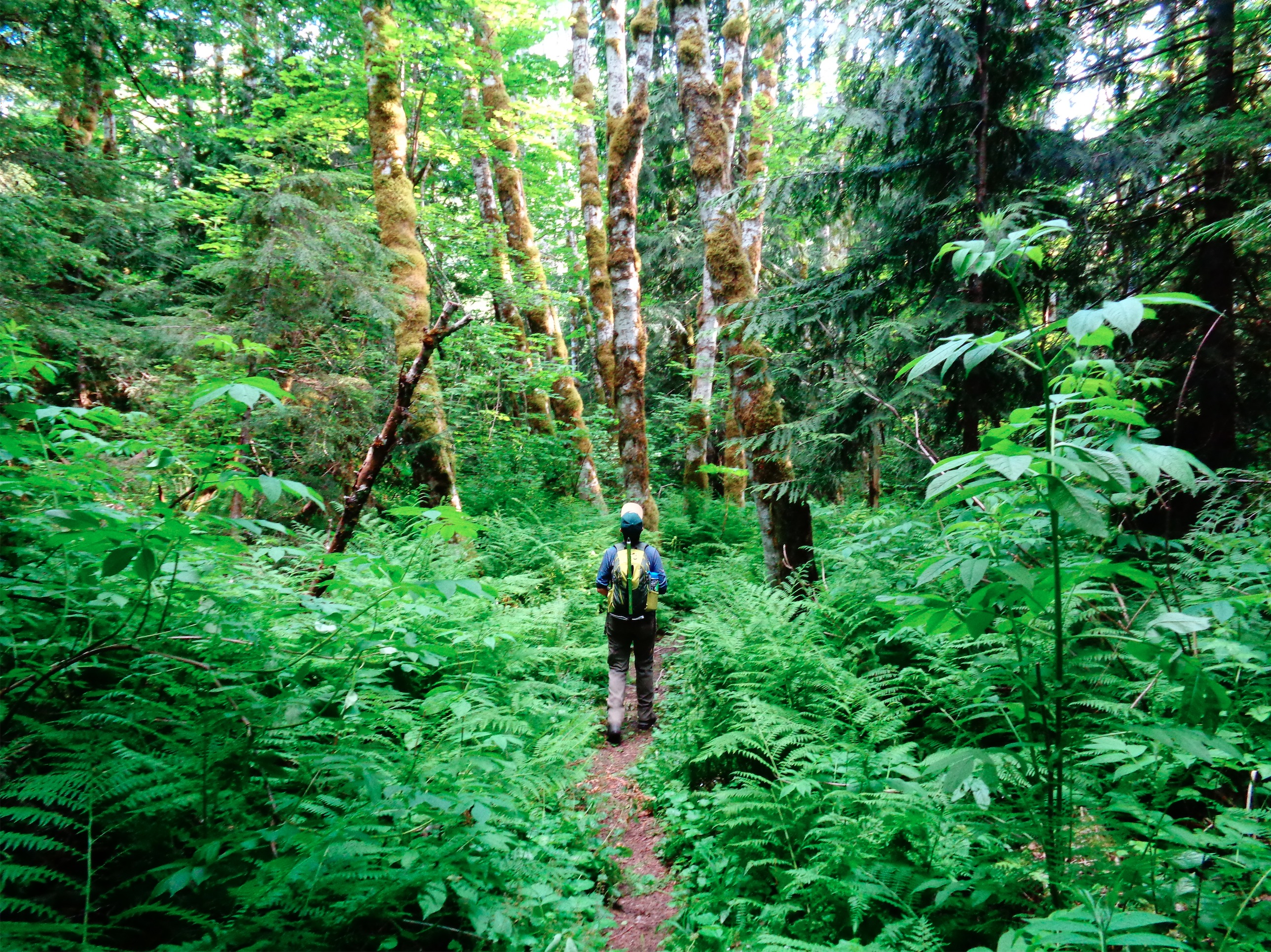
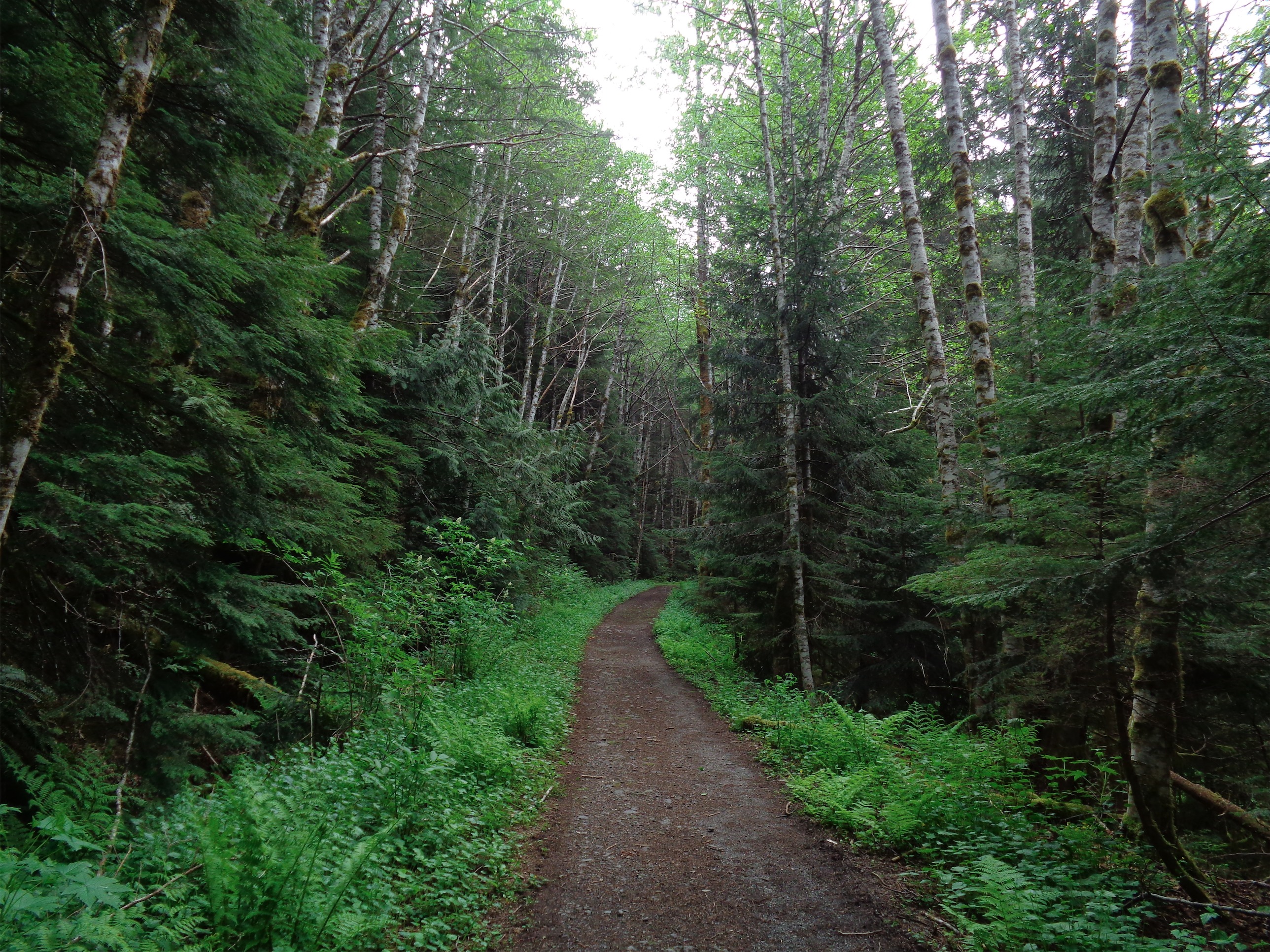
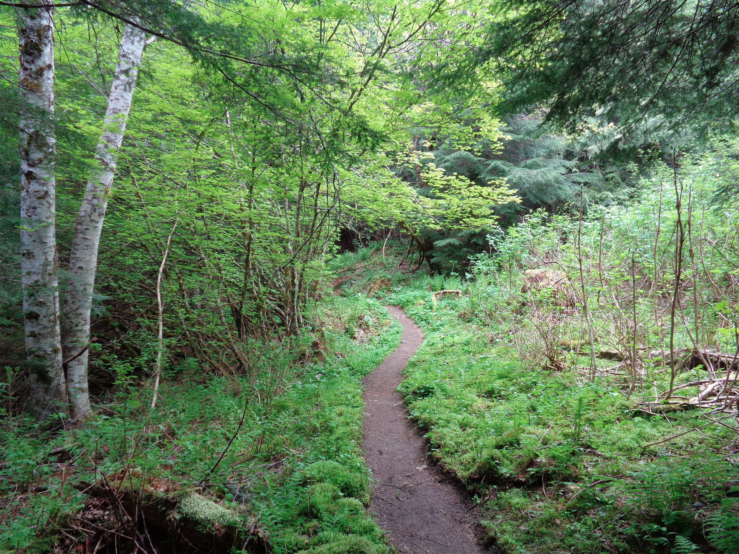
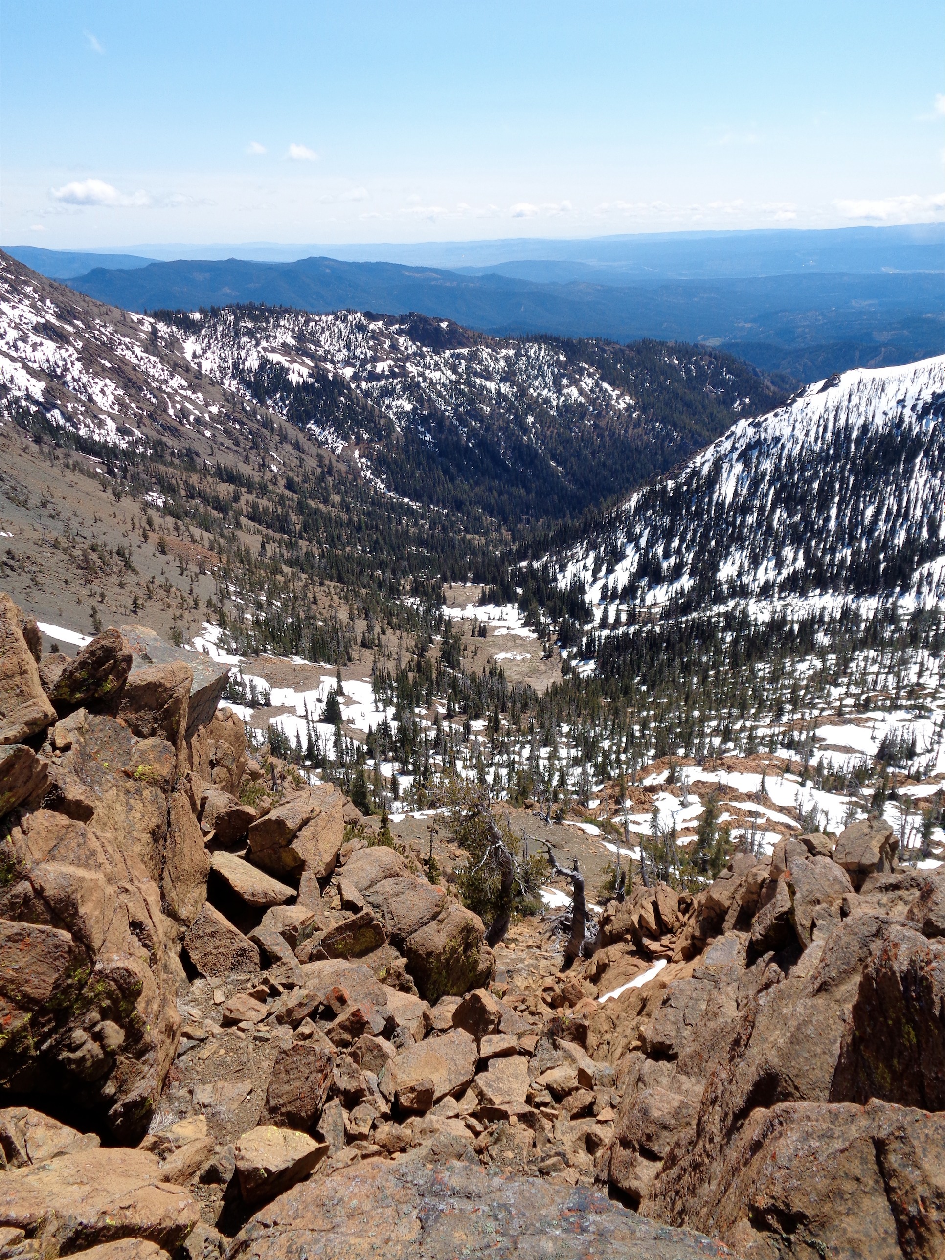
Starting off through the valley
The road to the trailhead was not nearly as bad as we expected. WTA.org had “ROAD CLOSED” in big red letters, but the washout was very small and plenty of low clearance vehicles had made it. While unloading, we ran into a friendly group of hikers, one of whom lent Kyle his trail runners. They were a step up from mine because at least they were men’s, and better to go too big than too small, but they were huge. Like two sizes too big. Okay, we’ll see how it goes.
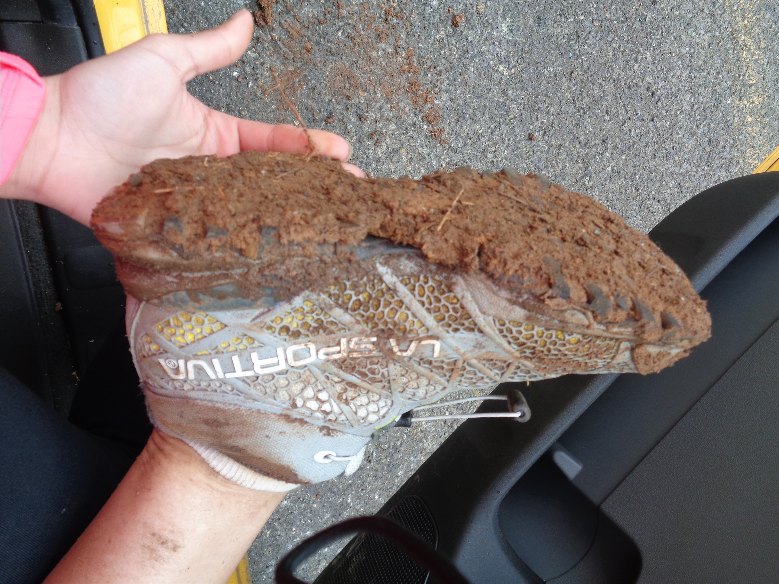
I had Brian pick through my bag to tell me how I was overpacking. You mean I don’t need three liters of water? Or waterproof clothing head to toe? I know I’m only going to eat one avocado probably but what if I’m hungry enough for the second? I should probably bring the whole box of wheat thins too. At least I left my second puffy layer at home! After abandoning some of the food and water and extra layers, my pack was actually pretty light, and we got moving. I wore my mountaineering boots for the whole hike, and tossed some barefoot trail runners in there just in case.
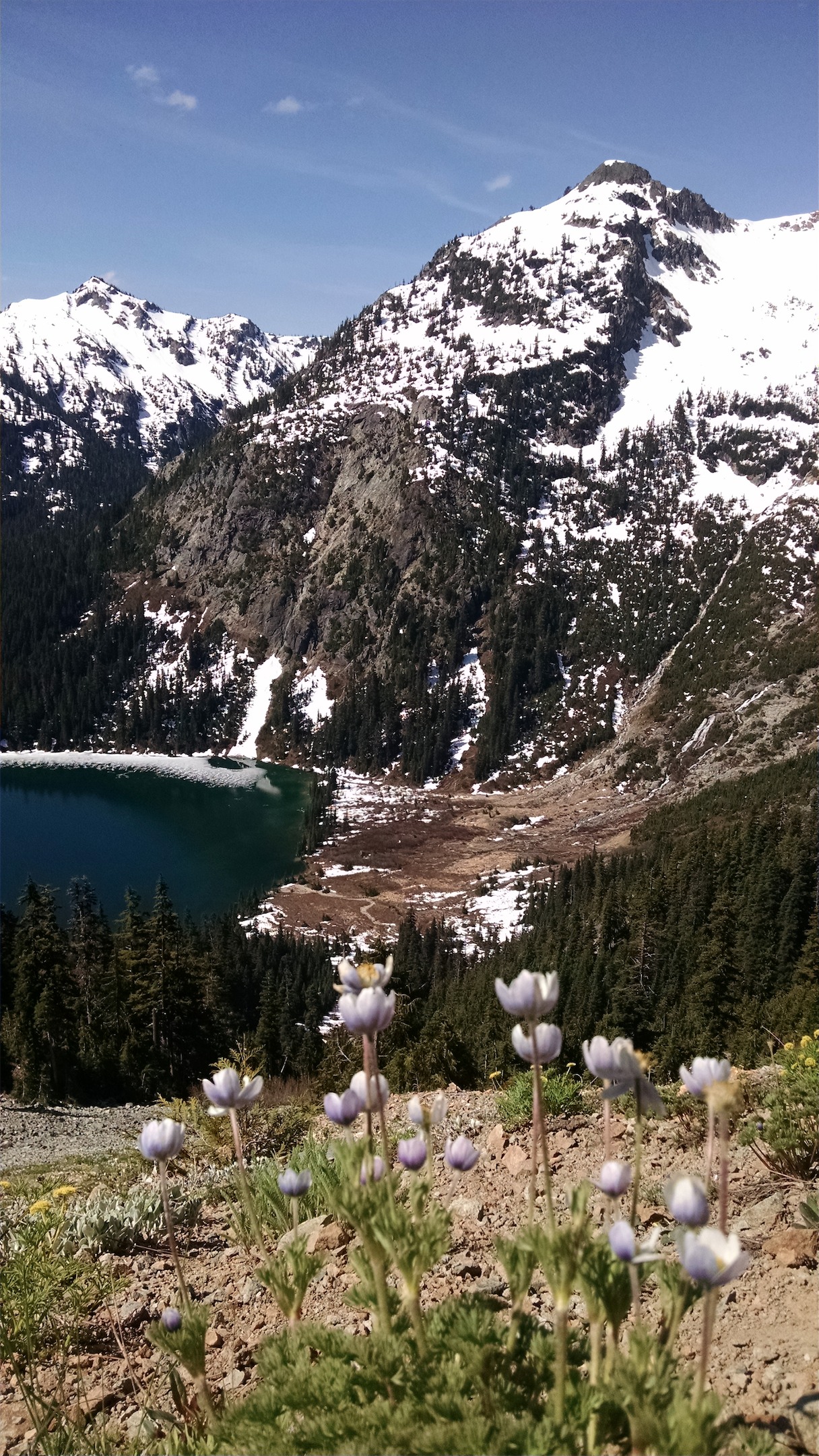
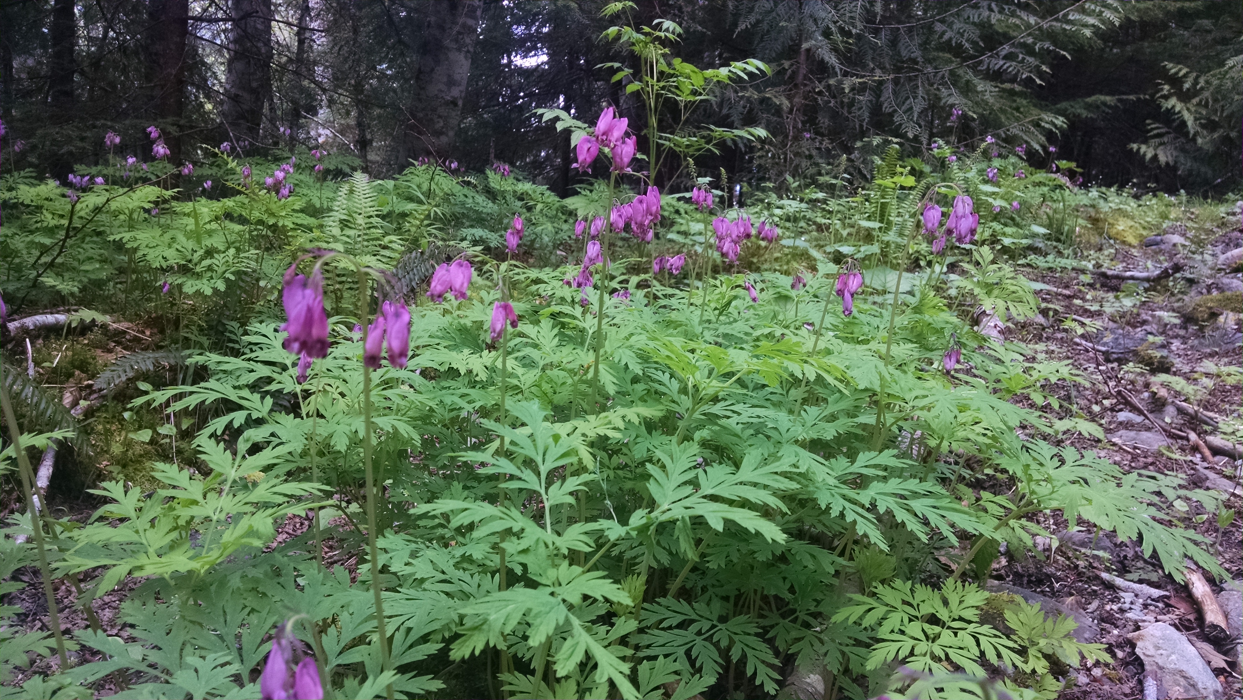
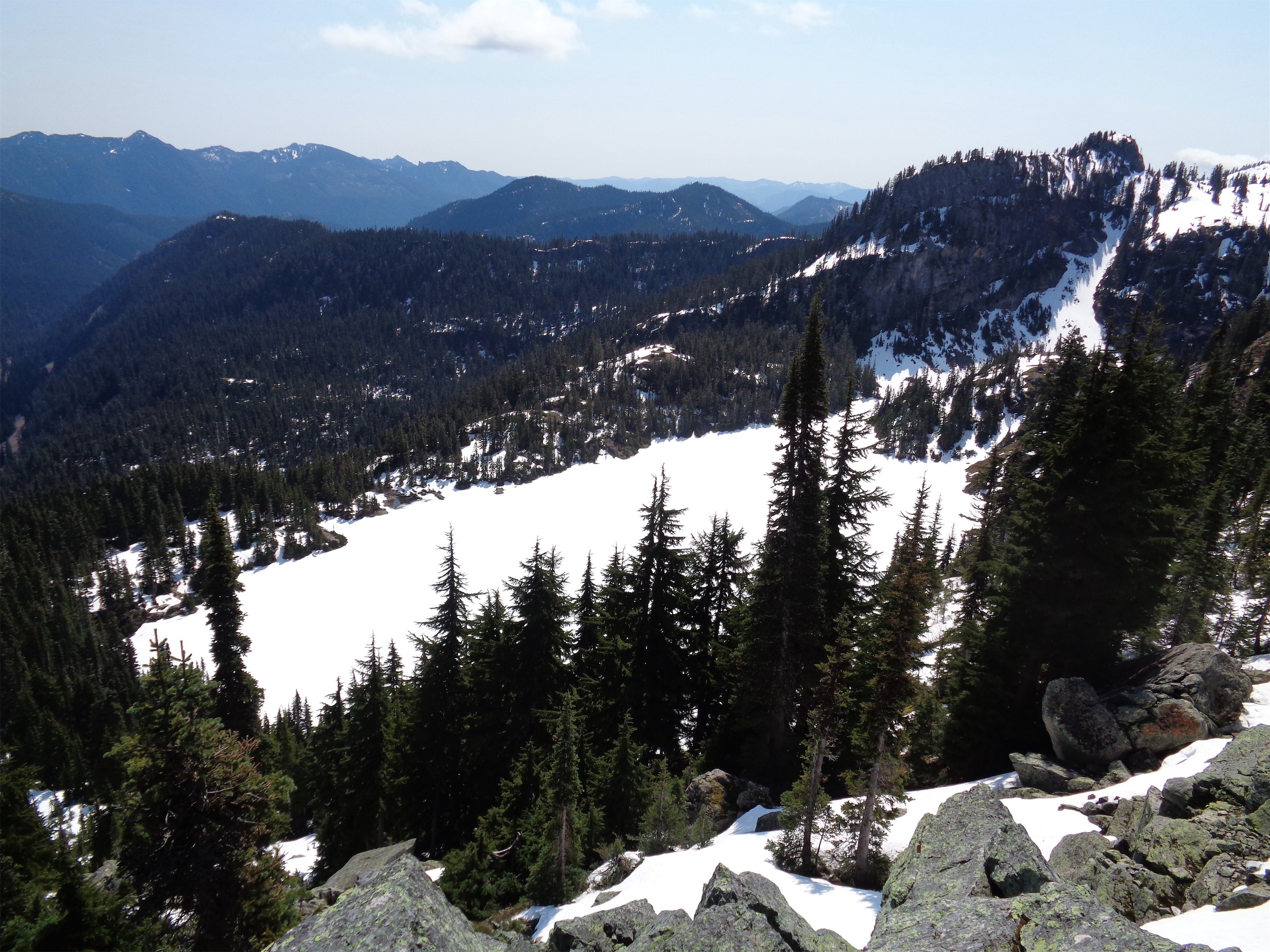
Wildflowers and a river and Ruth way in the background
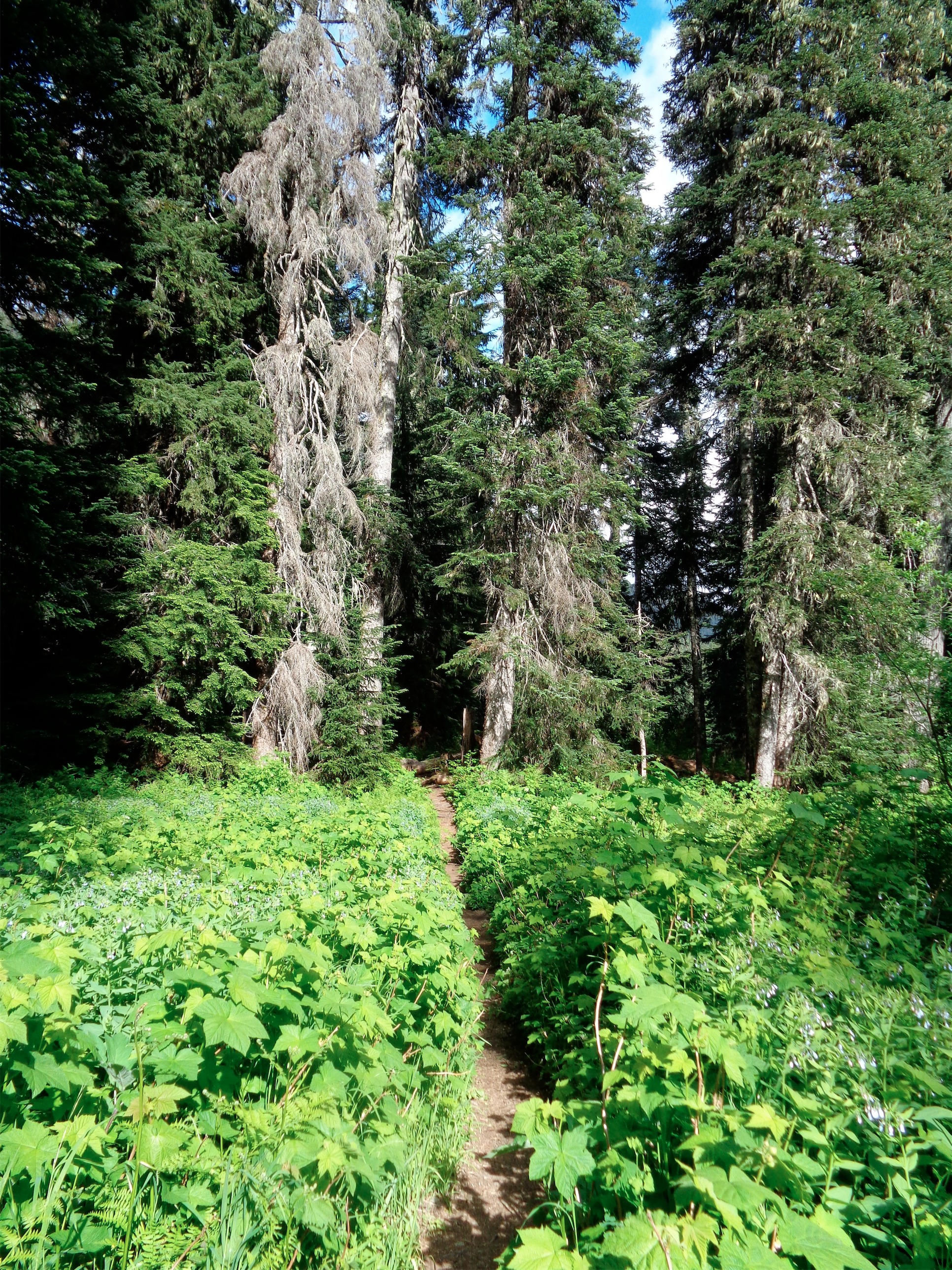
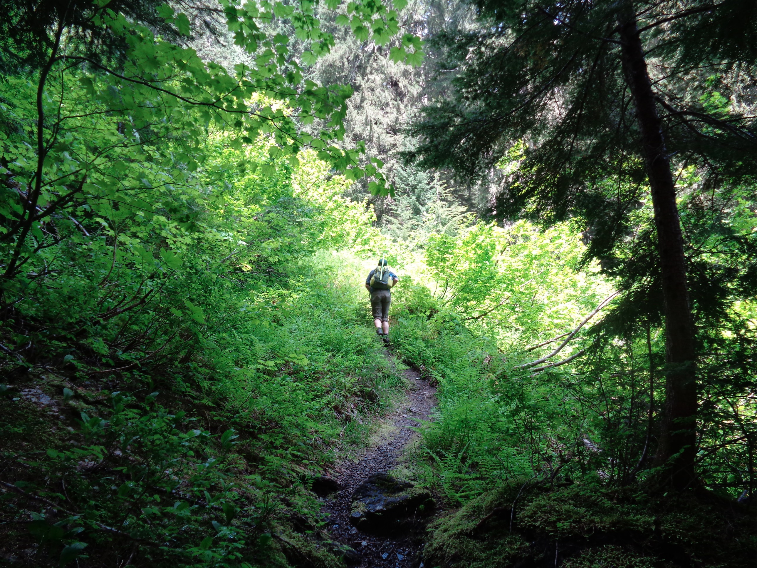
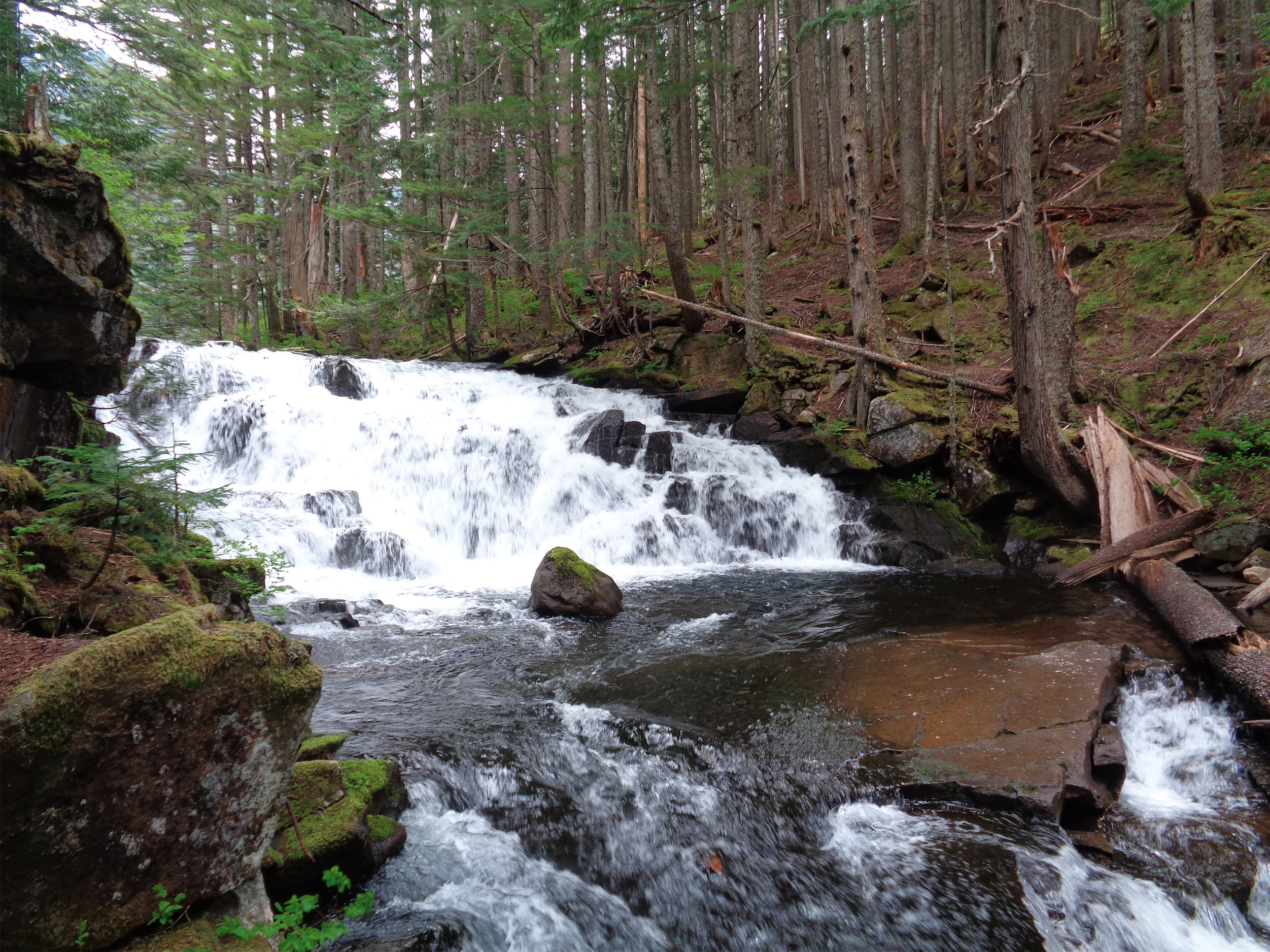
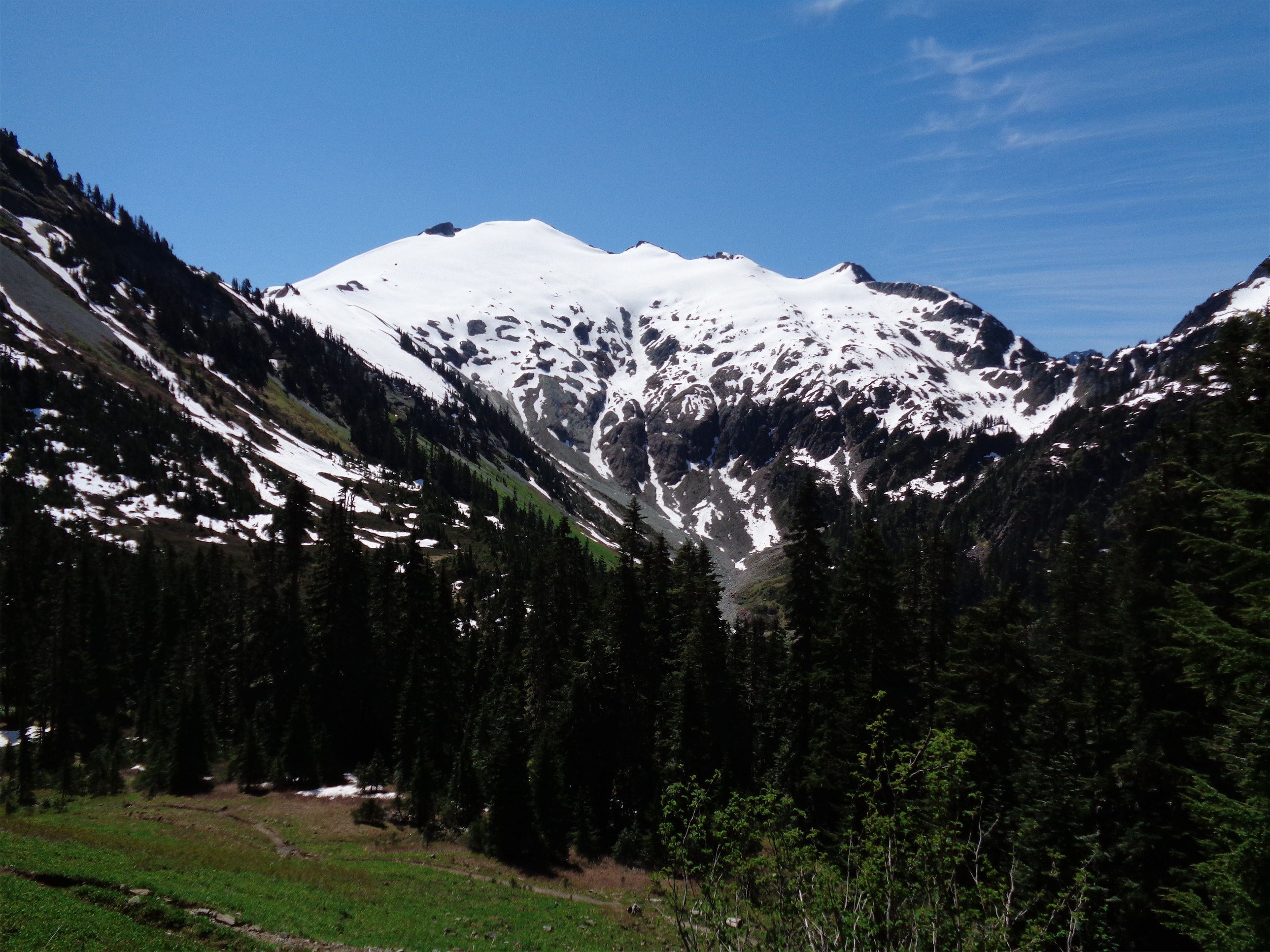
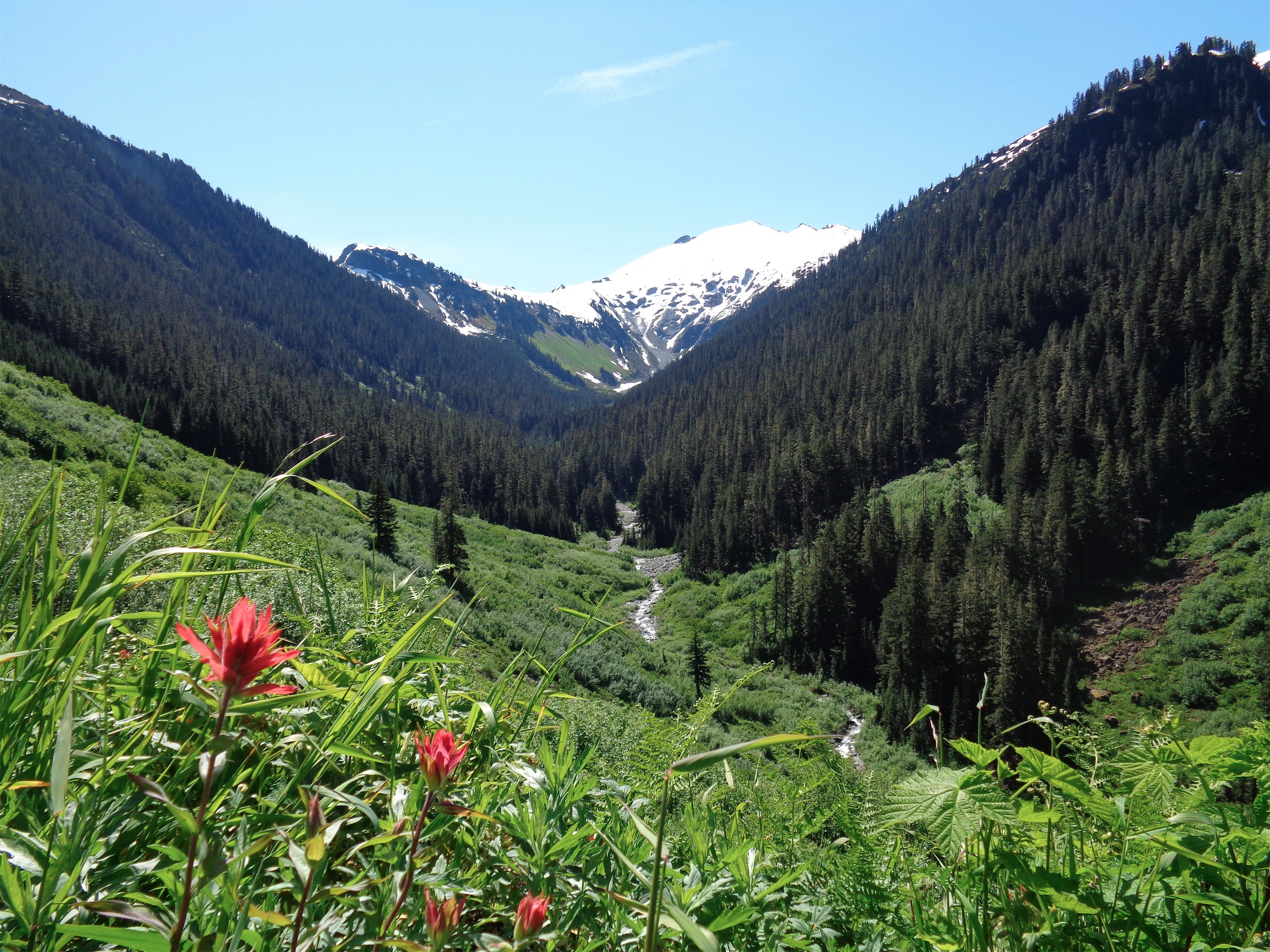
The trail is very pleasant for the first four miles. WAIT, I kid. Nettles! Effing nettles! I had never seen nettles before, or felt them, and I got demolished by them. Legs, hands, it’s like being stung by a million tiny bees except it only lasts for 30-60 seconds. But that didn’t stop me from bitching. Ignoring the nettles, the beginning of the hike is great. Pretty flat, amazing greenery and wildflowers, views of Sefrit peak and ridge, with Ruth way off in the backdrop and a creek running through the valley. We stopped to take pictures pretty frequently. Plenty of small creeks across the trail, reassuring me that leaving behind the extra two liters of water was probably a fine decision.
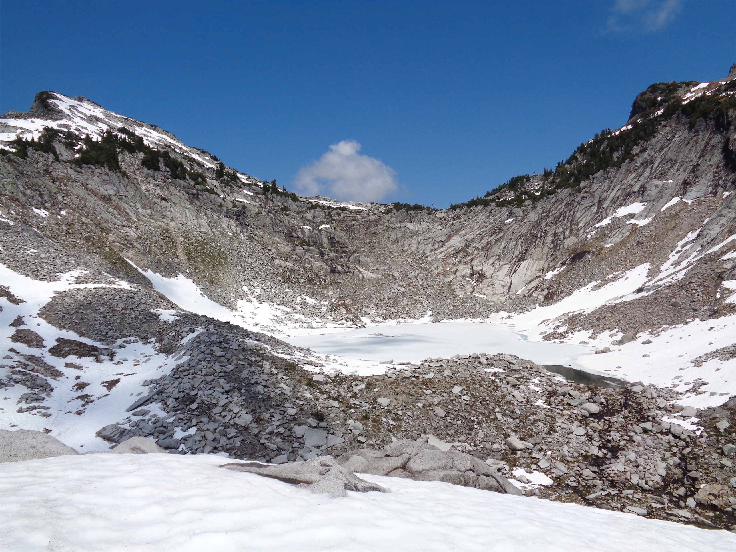
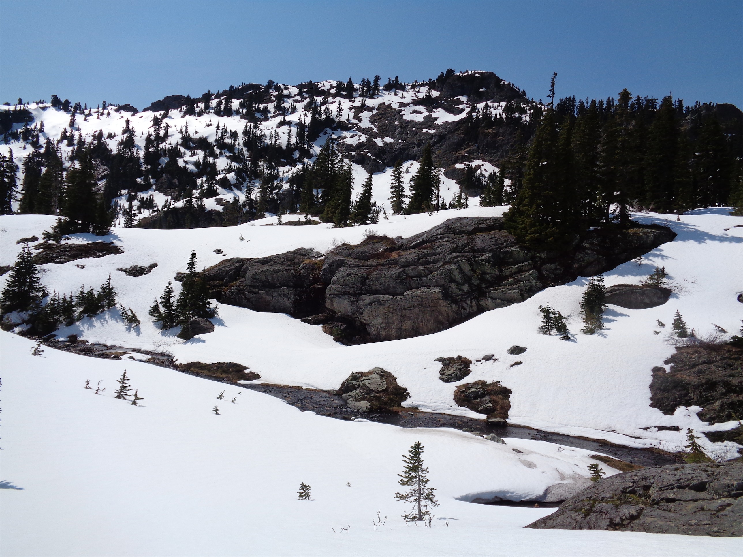
Hannegan pass came up quickly, and we stopped for a quick snack before heading to the right. We hiked over a small knoll and then fought through half melted-out creek beds and bushes up to a plateau beneath a high point. I left arrows in the snow for Kyle just in case, who was behind us since he had to run back and get the camera he forgot at our snack spot.
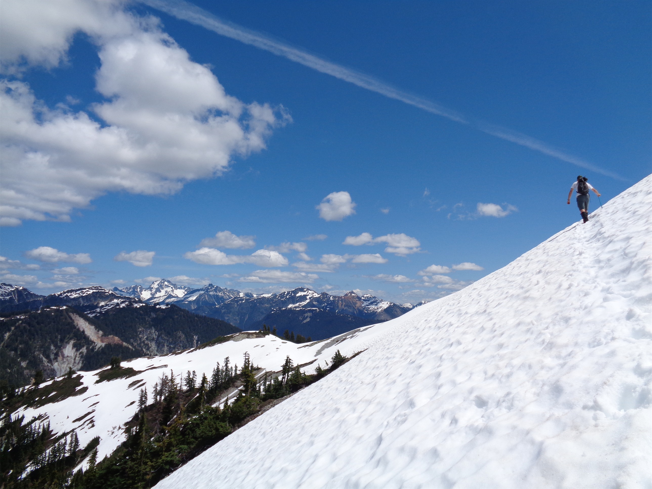
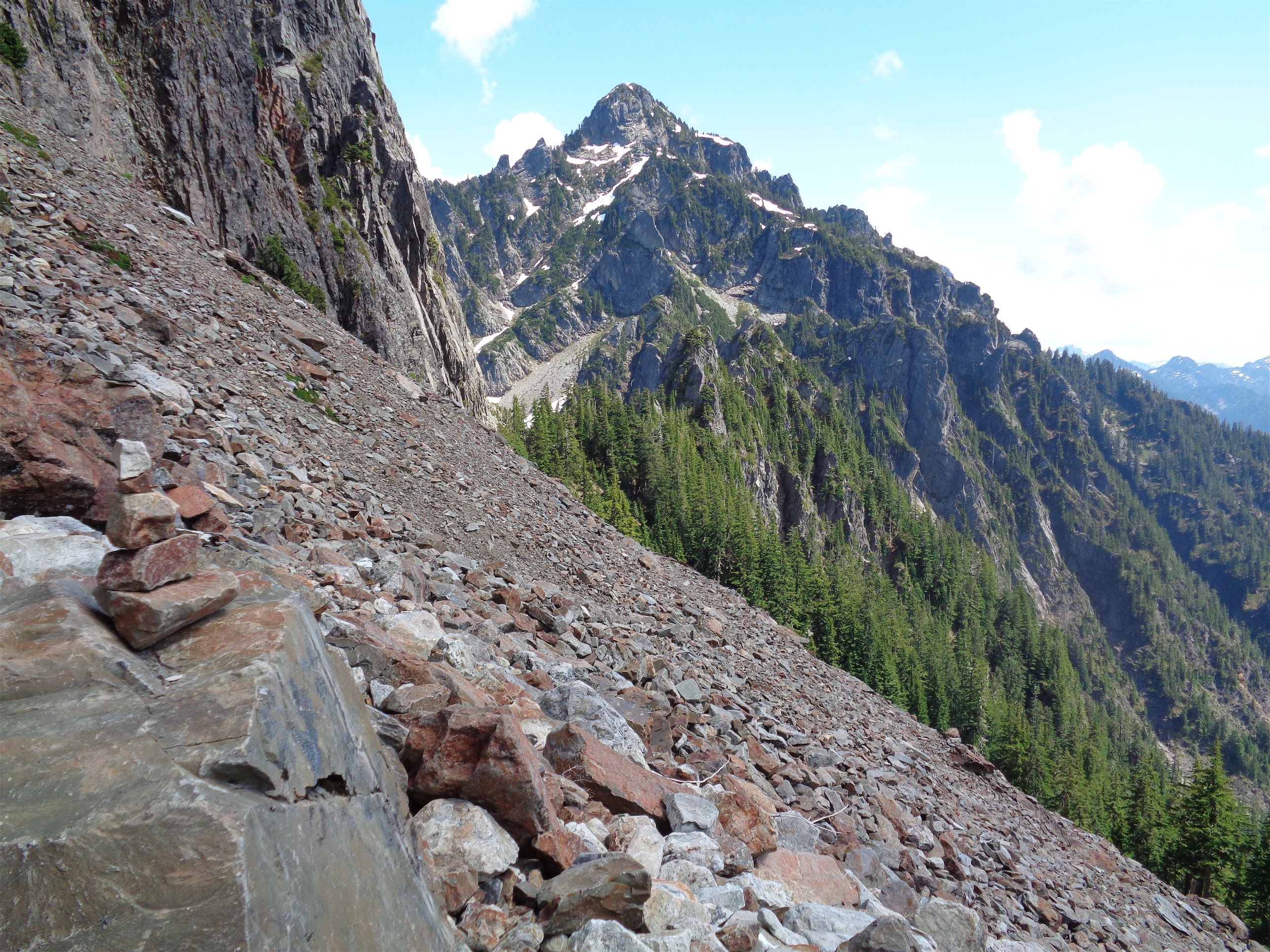
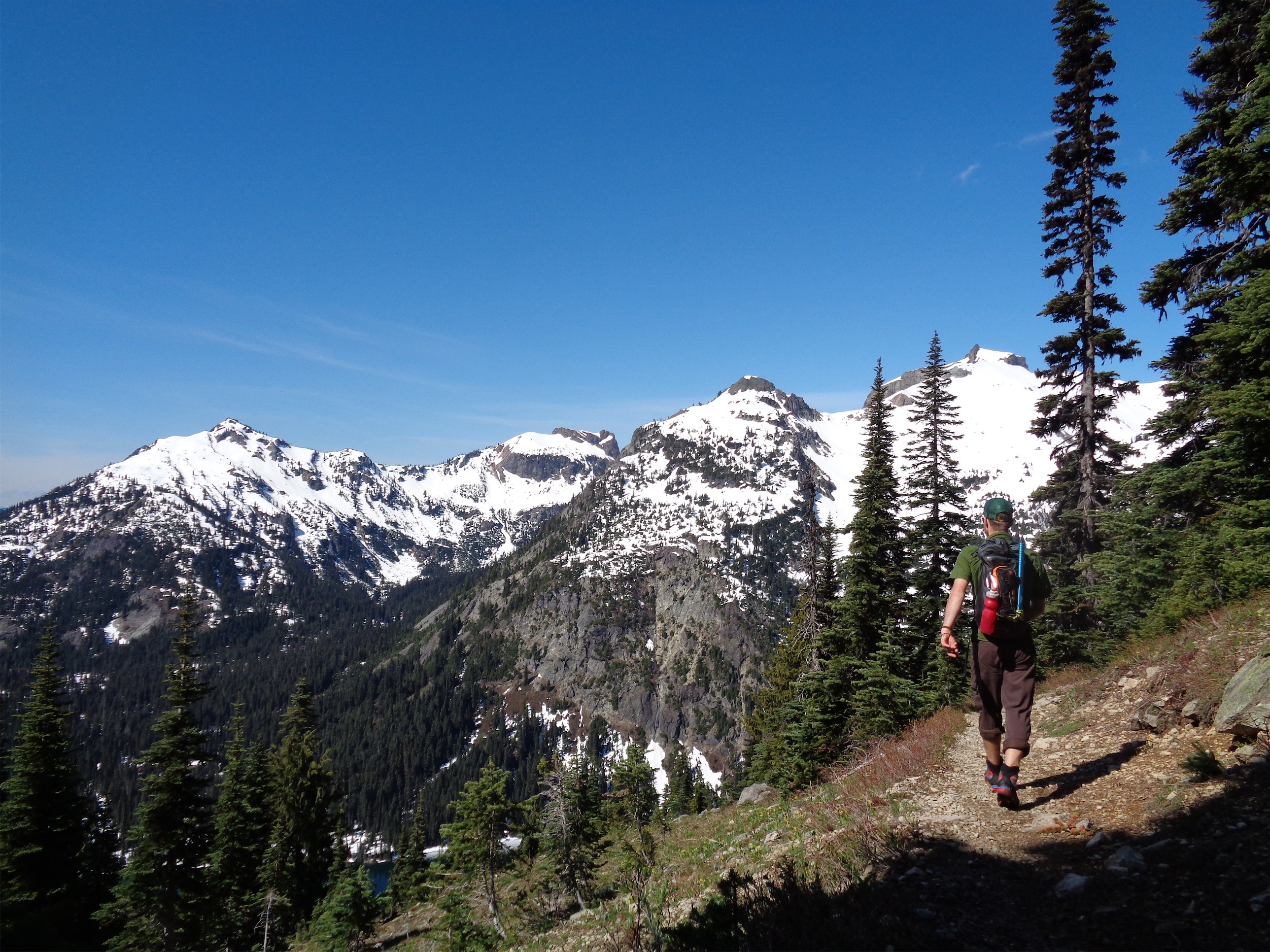
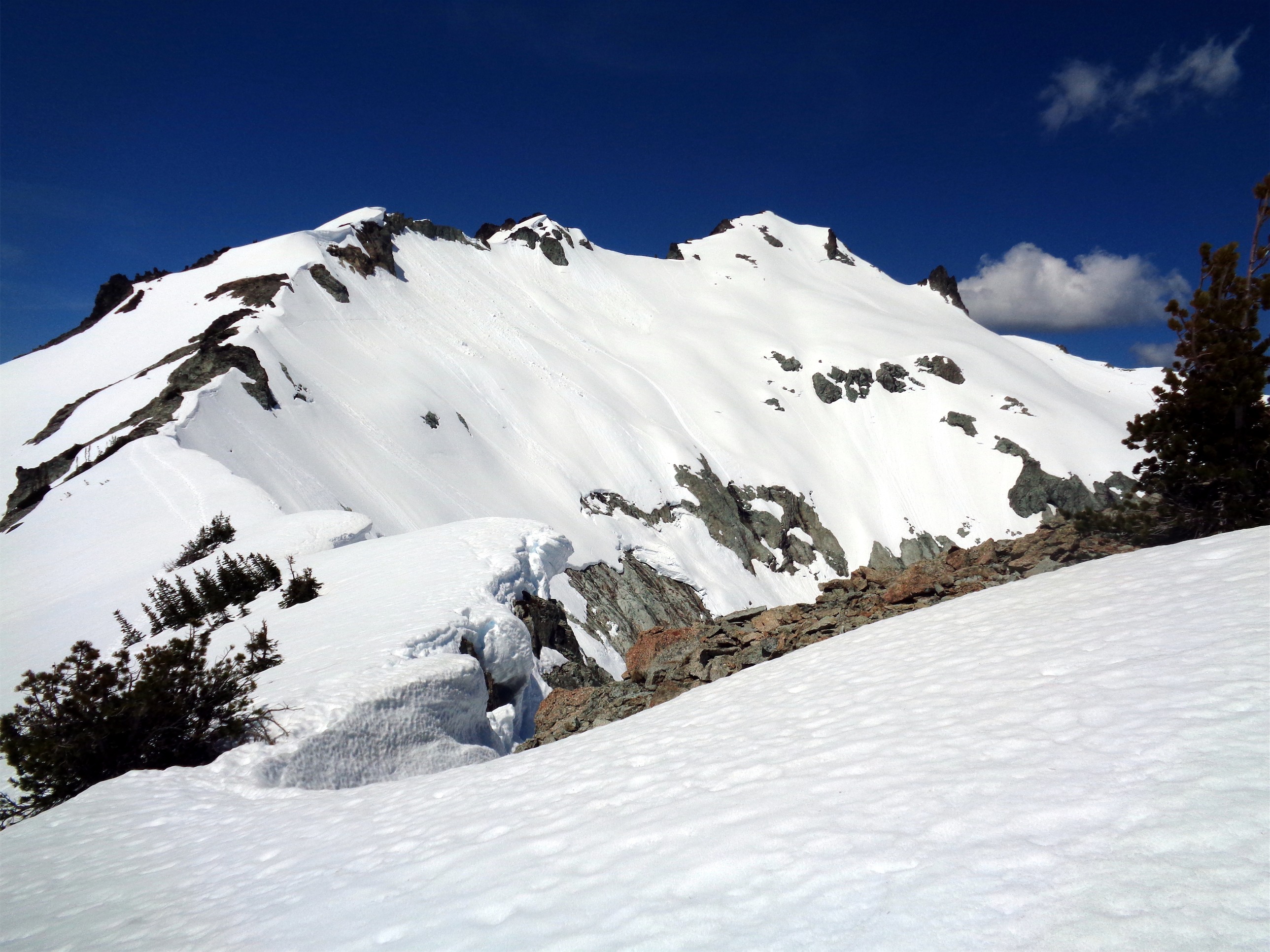
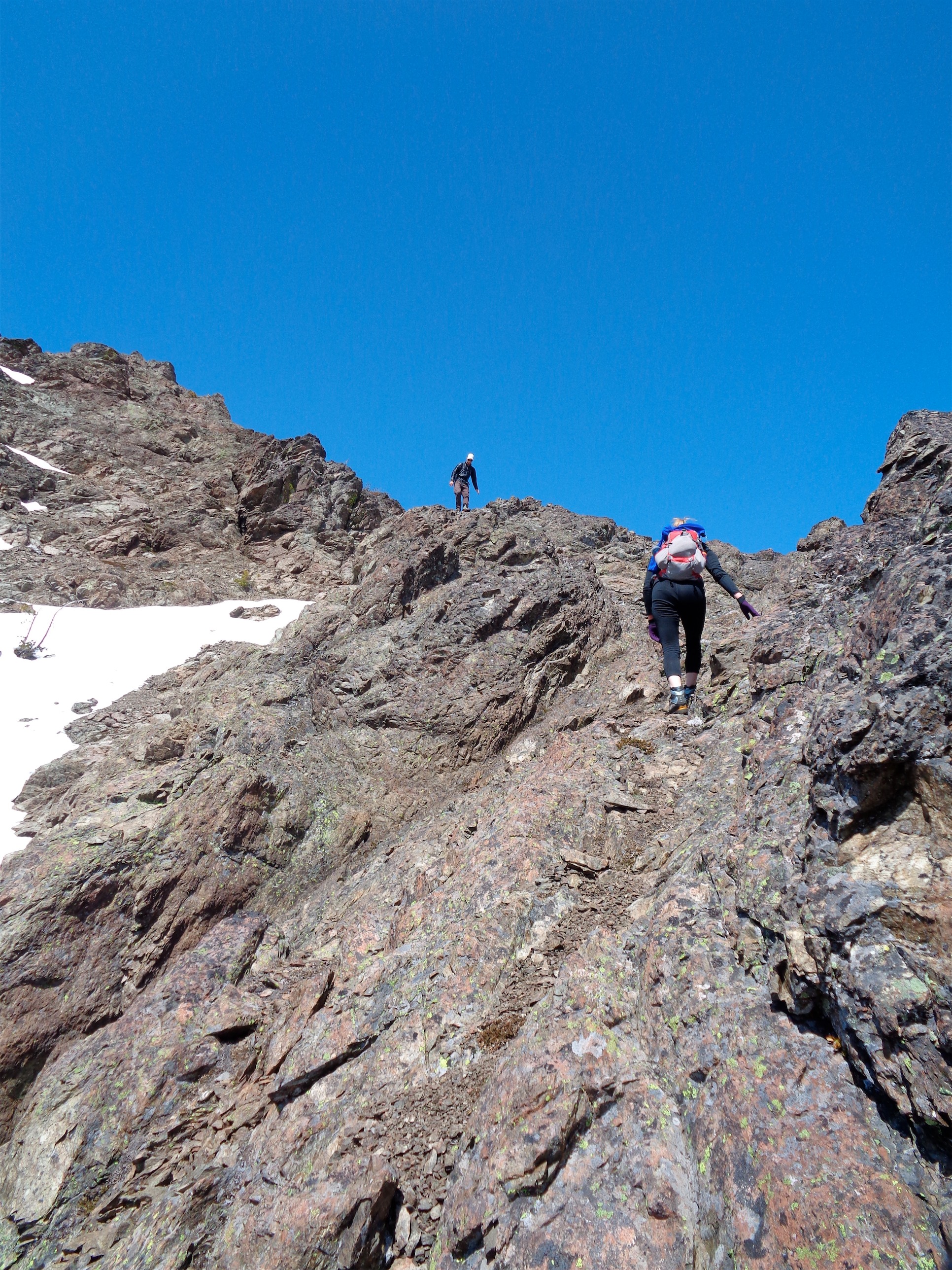
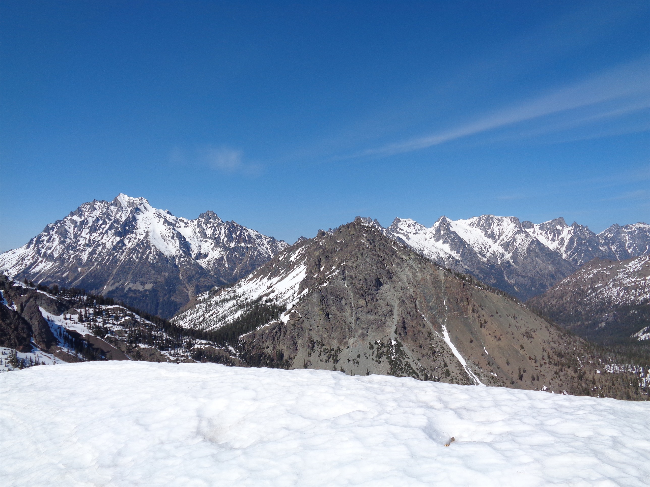
Traversing the dicey slope
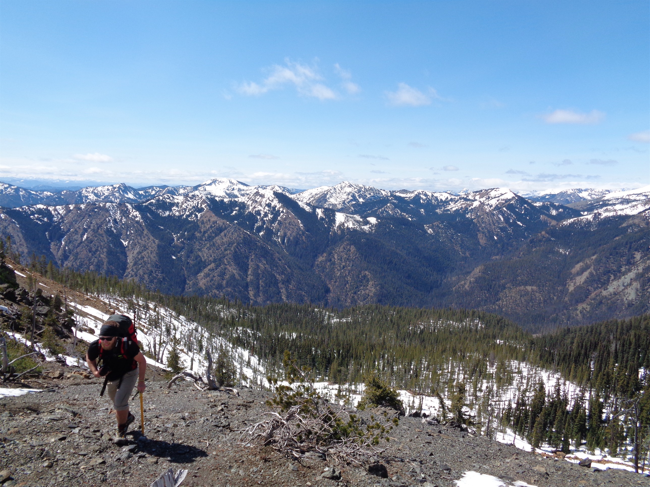
We rejoined at the plateau (the only part of the trail where you got a glimpse of Baker) and pulled out the map to double check where we were heading. The route wrapped around the back of a small peak (you might have been able to go up and over but it looked like a lot of time and effort) and then followed the ridge up to the true summit, so we started across. The slope we traversed wasn’t long, but it was steep. If you fell more than 20ft, you’d hit an exposed, rocky slope that ended in a cliff, so… don’t fall. Kyle decided to wait for us at the plateau, since he didn’t trust his footwear and of course we didn’t know how tricky the route would be once we were on the ridge. The beta I got before this trip all came from a guy who wore trail runners to the top, but at least his weren’t two inches too long for his feet. And I gotta say, going up there I have no idea how the previous guy did it. I mean sure you didn’t need stiff boots or crampons, but they were nice to have, and I like having toasty dry feet.

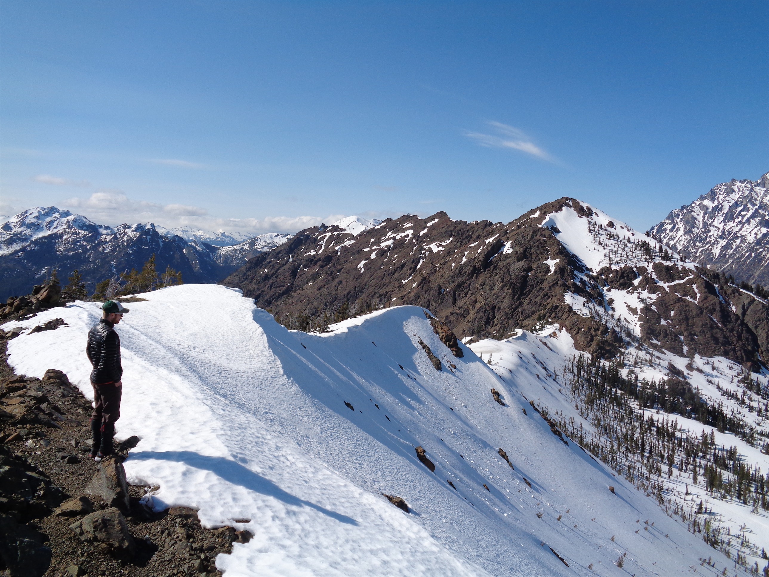
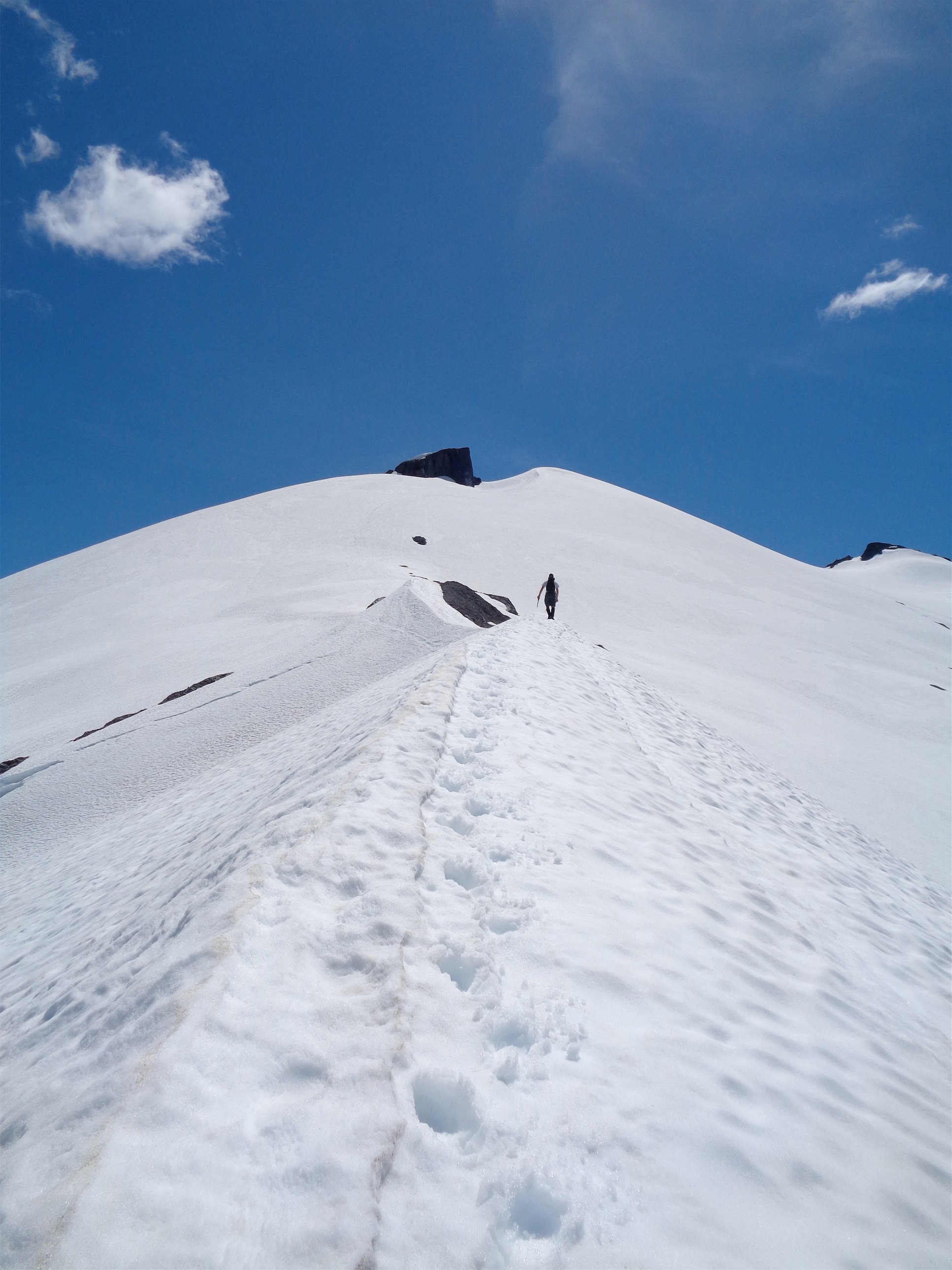
Rejoining the ridge
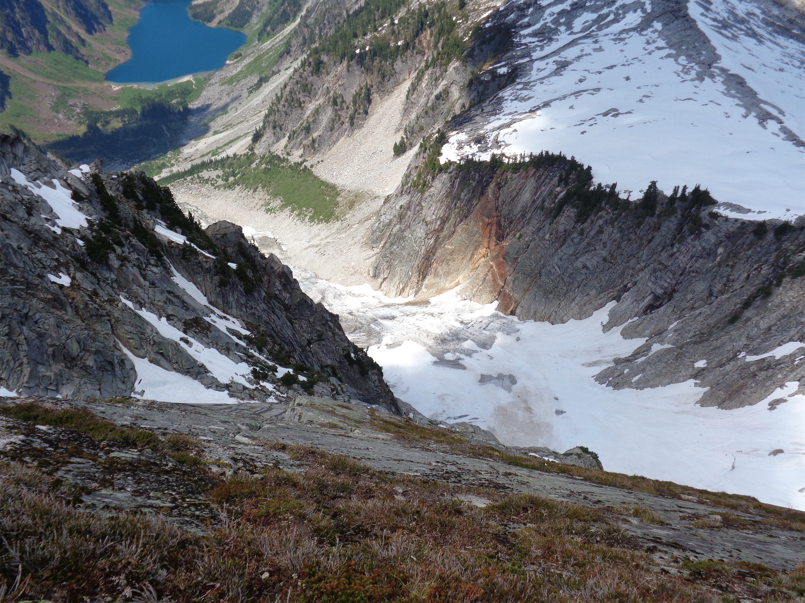
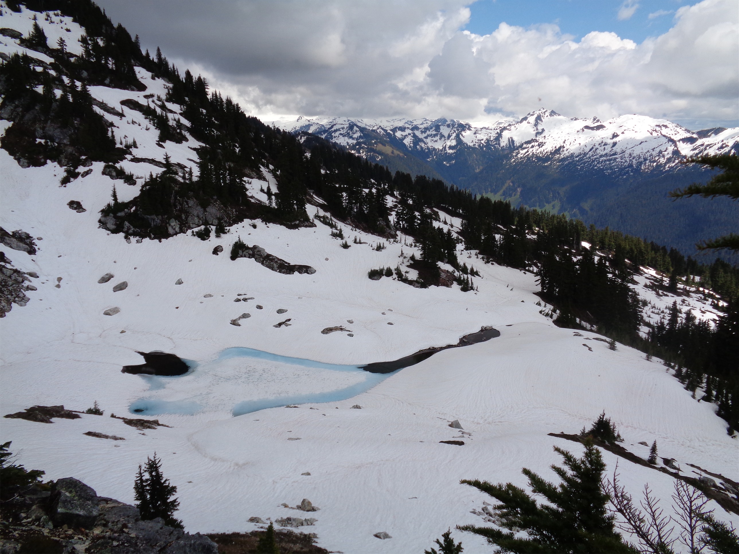
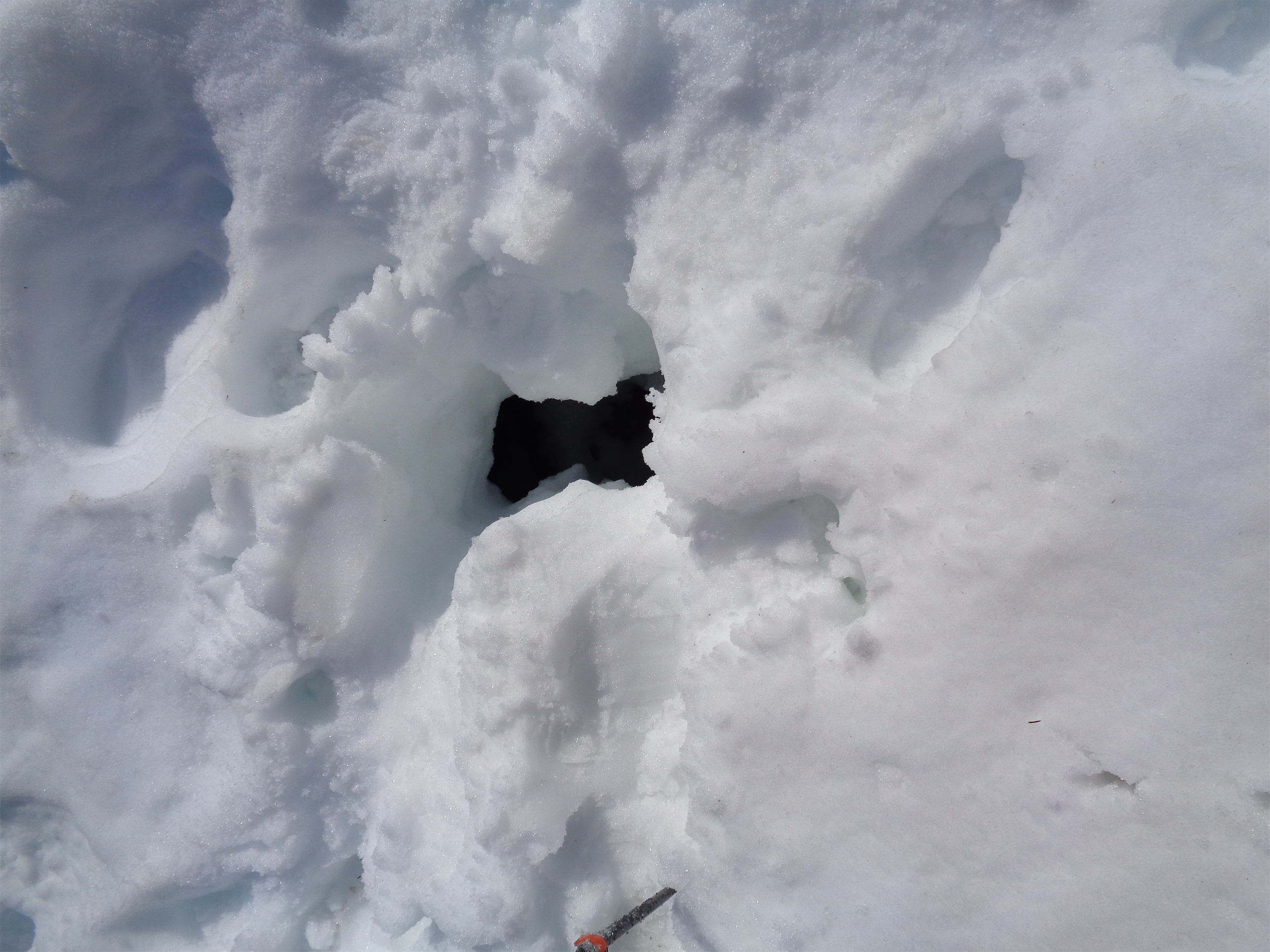
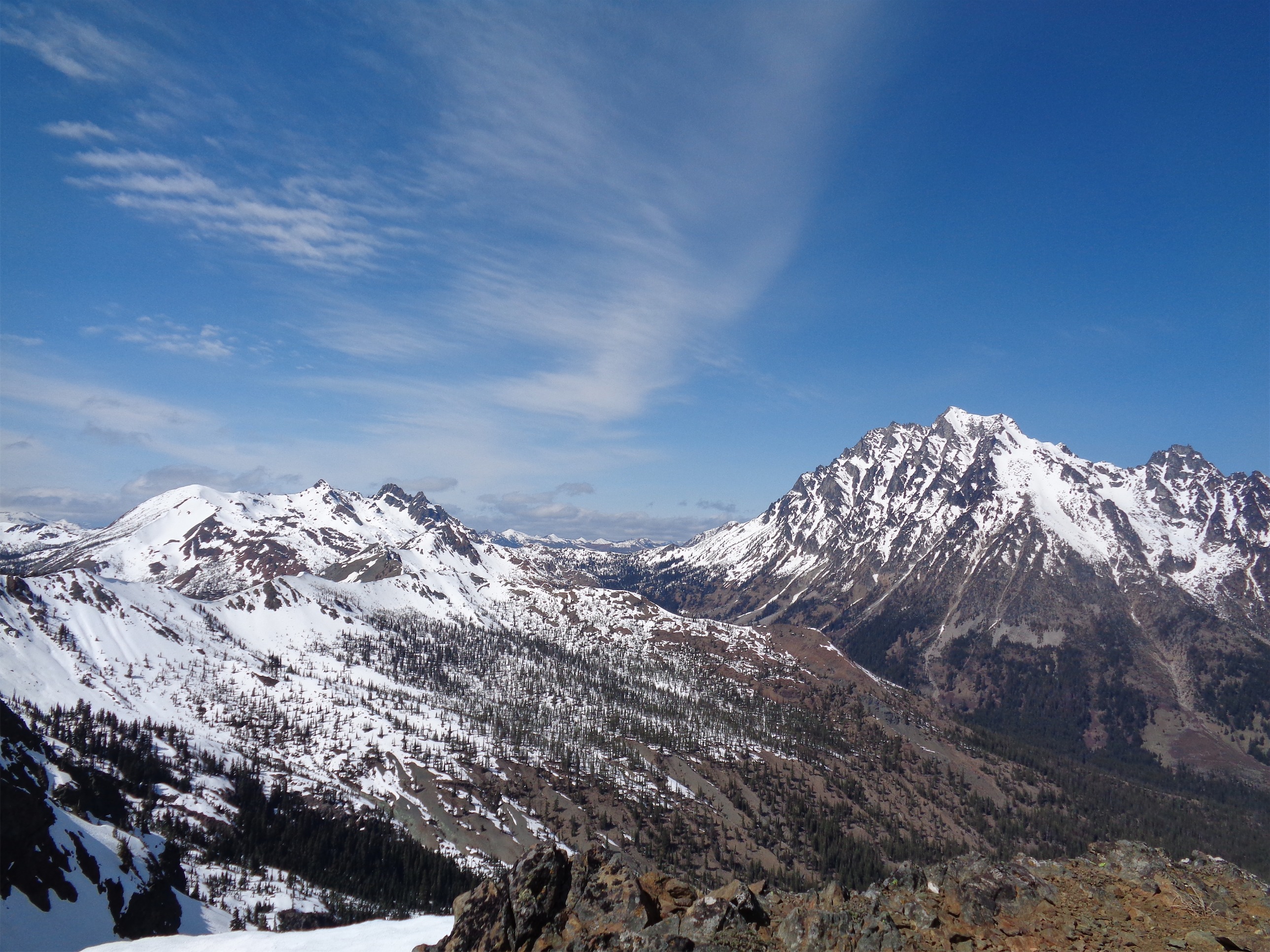
Fortunately, after that slope, the rest of the route was clear sailing. We joined up with the ridge on the other side, where some parts of the trail were even melted out! From the base of the snow fields, it just felt like a steep hike. There is a glacier, but this early in the season, there were no crevasses to contend with. If you drop lower on the route (especially later in the season), it sounds like you’ll probably want to rope up. We took turns breaking trail, and eventually put on crampons. The snow was soft enough that they weren’t necessary, but I could feel the difference they made. But euuuuughh, I forgot how awful they feel on rocks. Scraping like nails on a chalkboard. Yuck.
I can pretend it’s a knife edge right?
At points, the ridge turned into a mini knife edge before climbing steeply, and it was one of those hikes where you have to try to not be distracted by the ridiculous views around you. I have to thank Brian for not complaining when I stopped to try and get pictures of him every five minutes. There’s too much to see! You’re standing on a snowfield but it’s 70 degrees outside and you’re surrounded by snowy peaks in every direction and contoured snow sculpted by the wind and so quiet and serene that you almost don’t even want to speak.

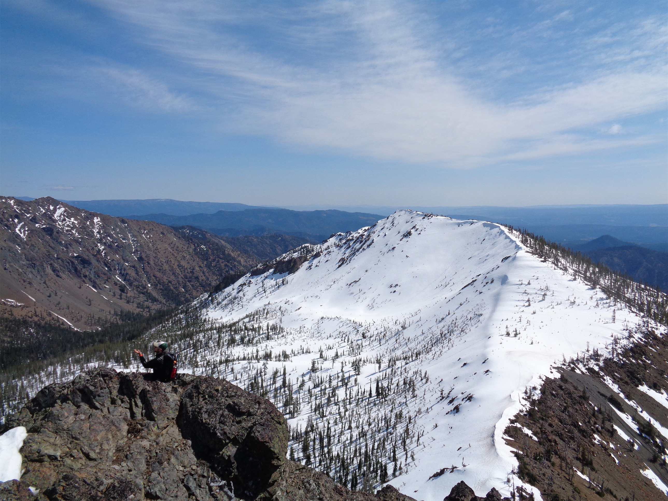
Almost there!
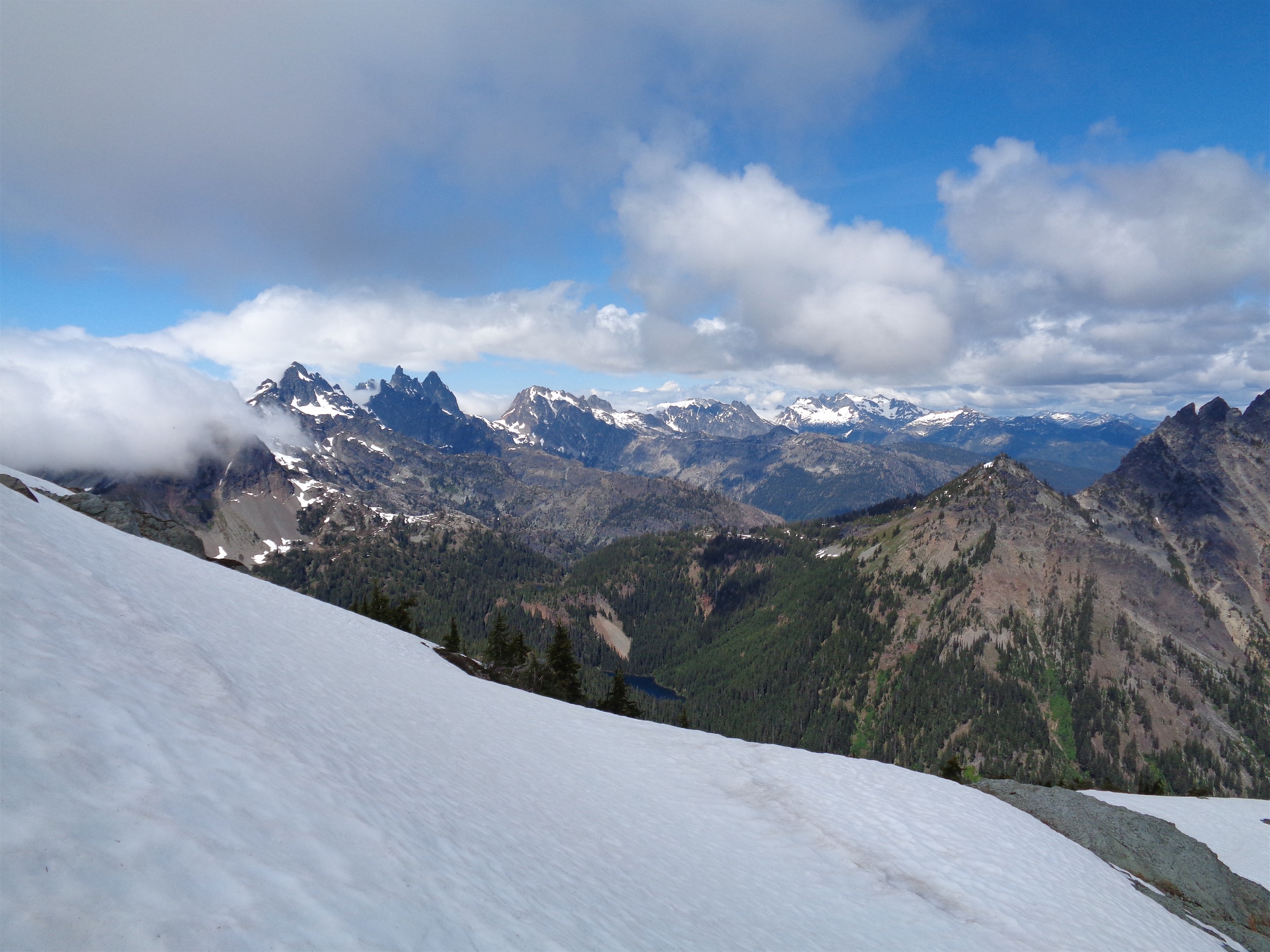
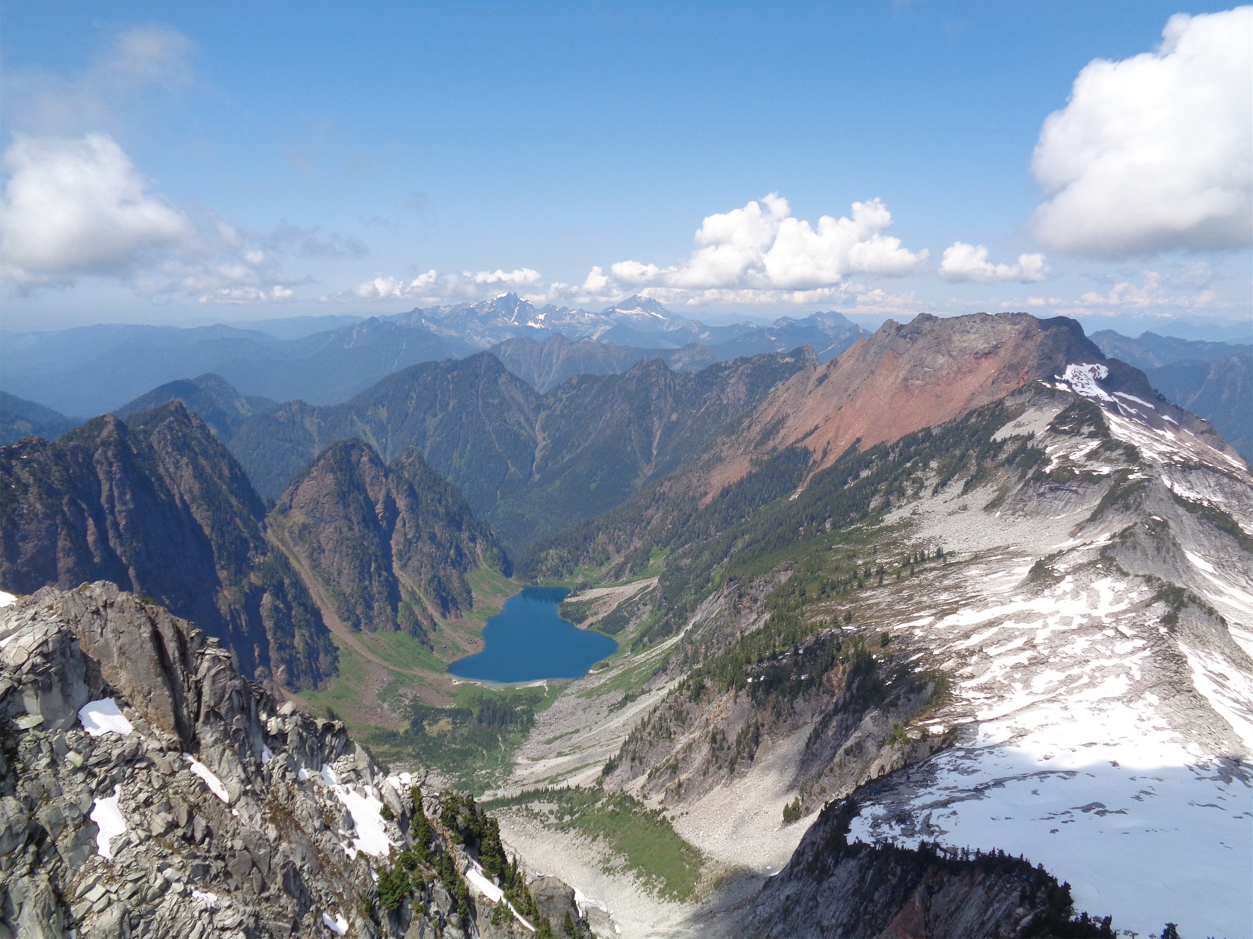
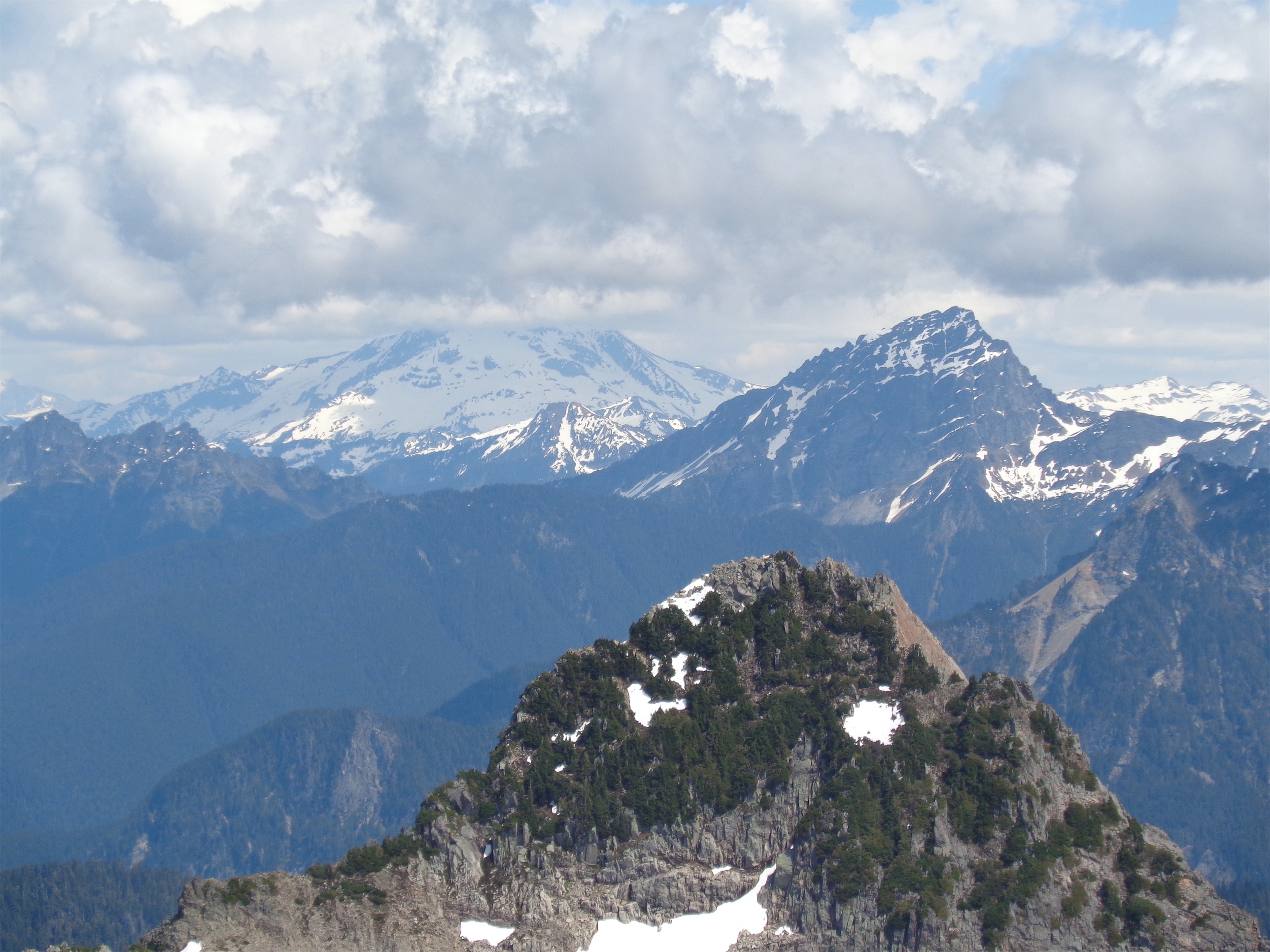
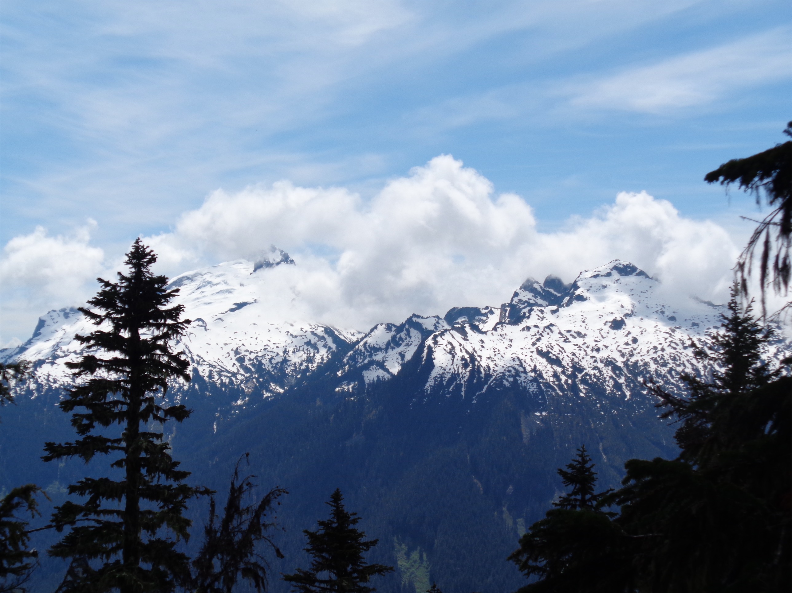
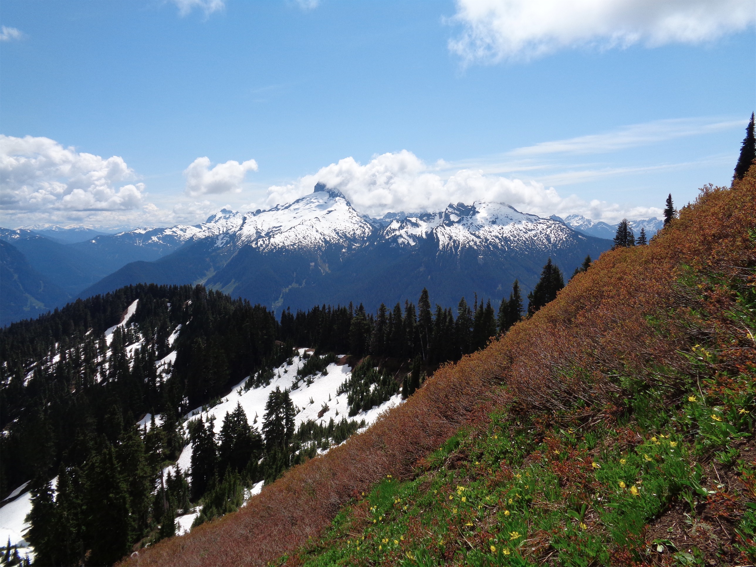
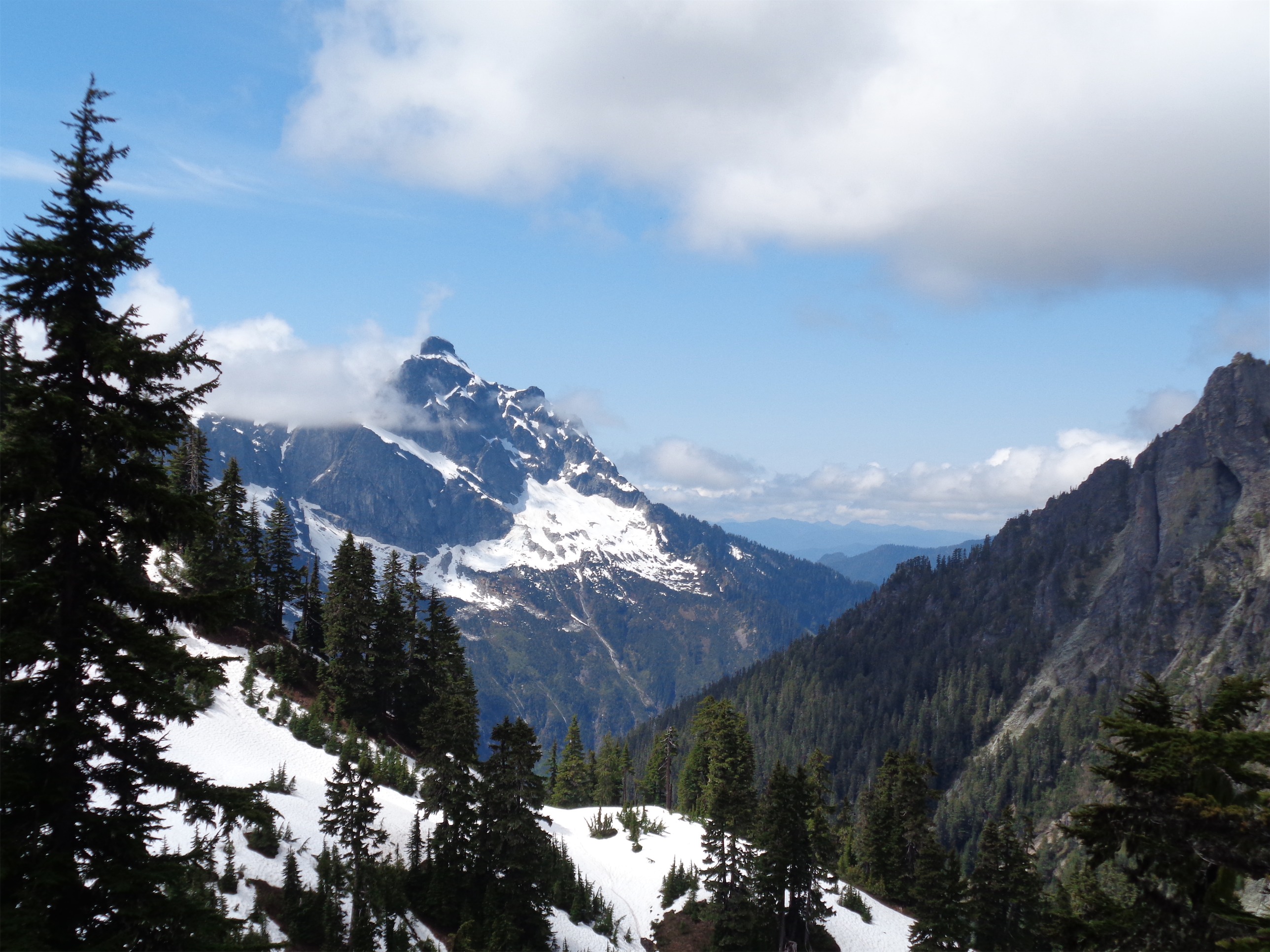
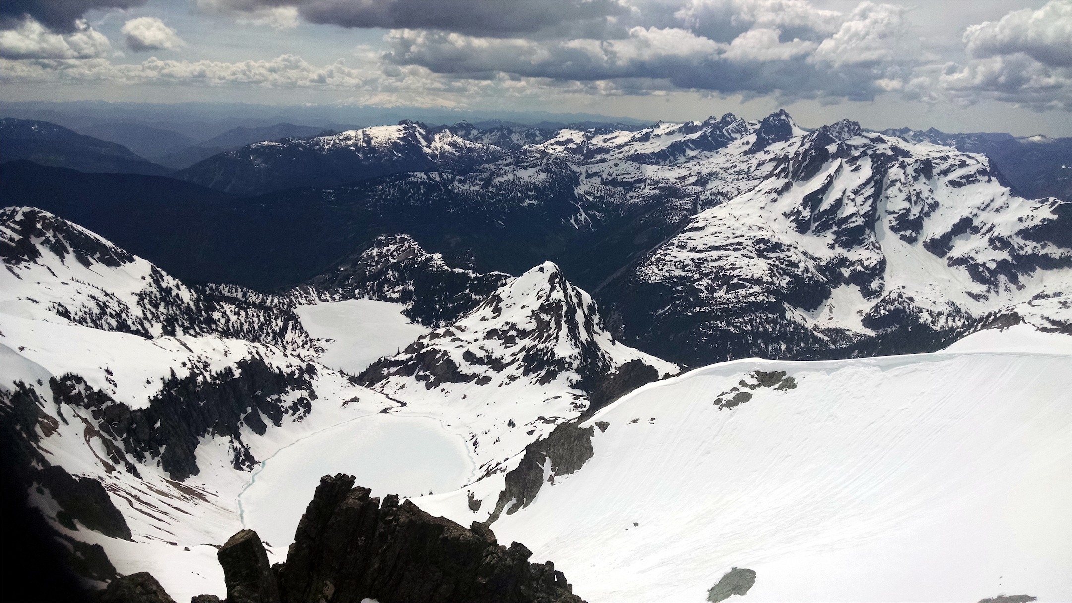
Part of the summit was melted out, and some rocks had been piled up in small bivvy style shelters to protect from the wind. Wait, how is that the first thing that comes to mind? The views! Shuksan! Holy crap, Shuksan looked unbelievable. You rarely see it from such a great angle. Glaciers cascading, and a nice rocky cirque leading up to the peak. To the left is Icy Peak, a traverse commonly done from Ruth. A climb I’d love to do someday, but not when my buddy is waiting at the bottom of the trail. Glimpses of the north end of the Picket range (I’m obsessed) and of course, hundreds of peaks I didn’t recognize. And if you turn around, you have lush green valleys backed by Church and Goat mountains. Ridiculous. I used to say I’d prefer to go blind than deaf (I mean neither are ideal okay) but now… now I’m debating that.

Mt. Shuksan from the top of Ruth
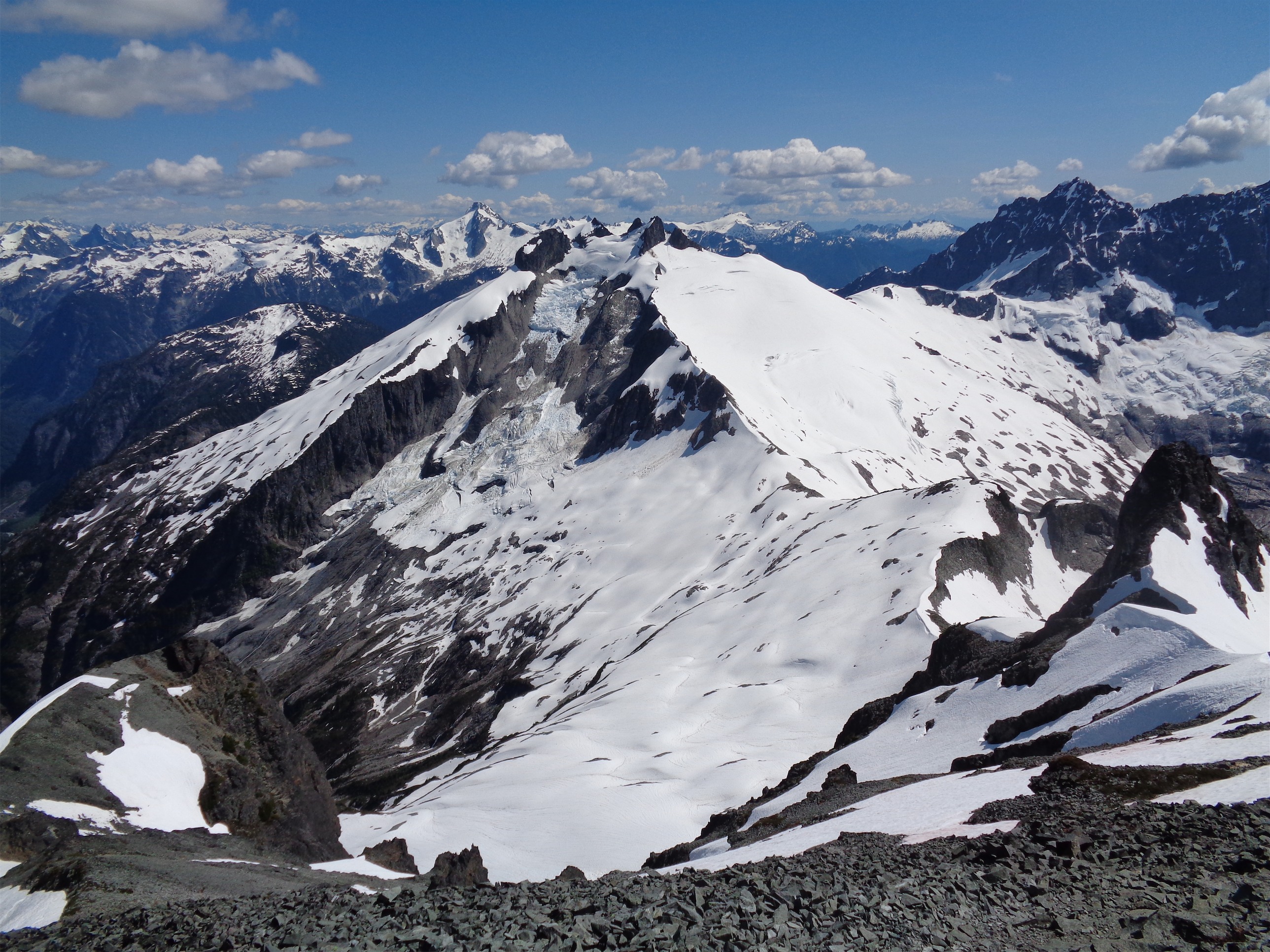
Icy Peak with Blum in the background from Ruth
We spent half an hour or so taking a power nap (five star nap on a five star day with five star views) on the summit, and I managed to grab a time lapse and plenty of snacks and pictures. The summit register’s pen was dead! And there was only one sad little piece of paper. We finally got up to head down, and started off back towards Hannegan Pass.

Heading along the ridge
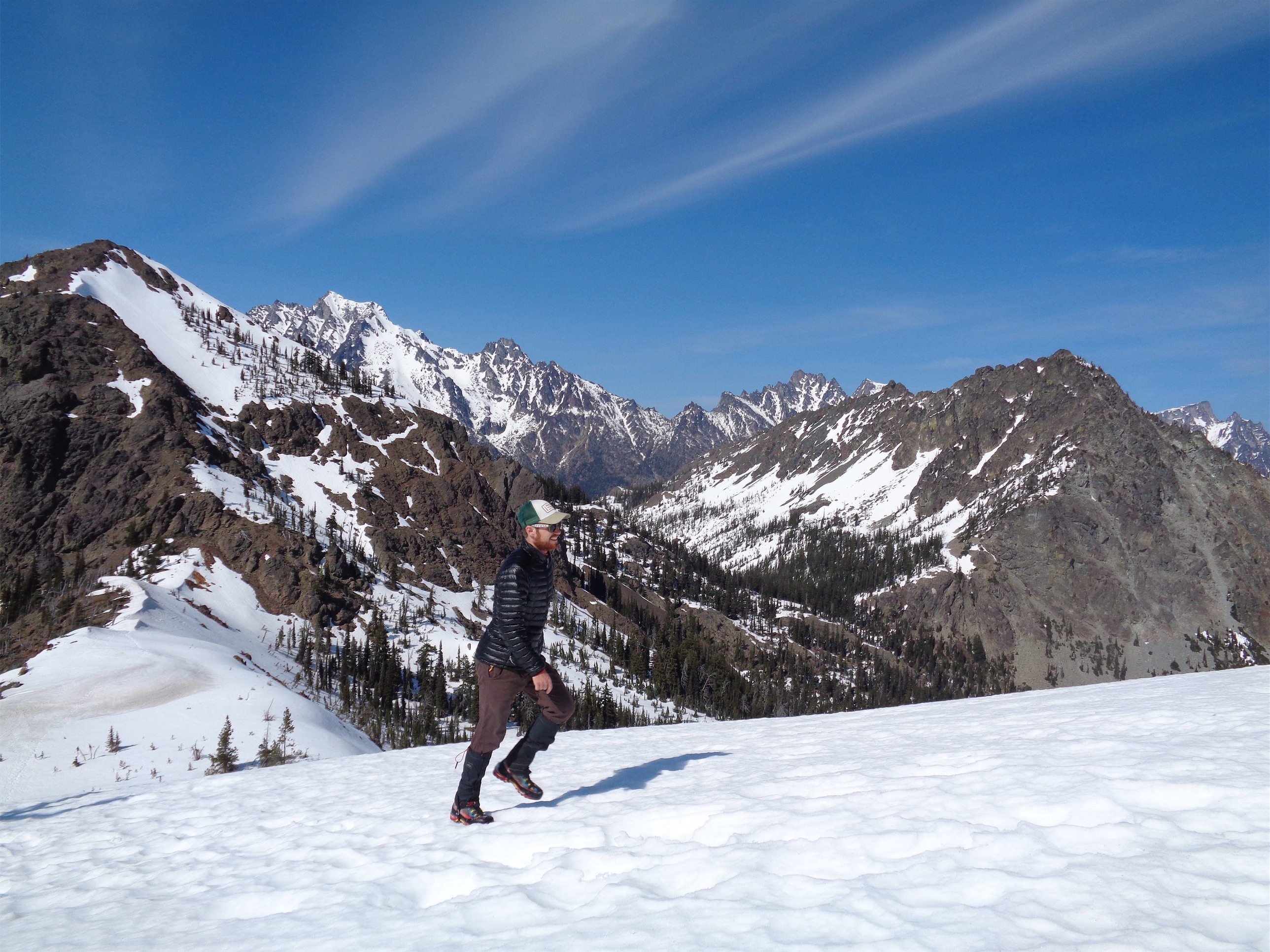
We got back down to Hannegan Pass, and Kyle was nowhere to be found so we figured (hoped? We knew he could take care of himself and we had left him on safe ground so we weren’t too worried) he was back at the car. We knew the last four miles were fairly flat, so it should be a quick return trip. Brian turned to me and asked if I wanted to slow-jog the rest of the way back to speed things up a bit. I looked down at my chunky Nepal Evos, shrugged, and thought hell, if I can run in these boots then I shouldn’t have any issues climbing in them. So let’s give it a shot.

Jogging back along the flat trail
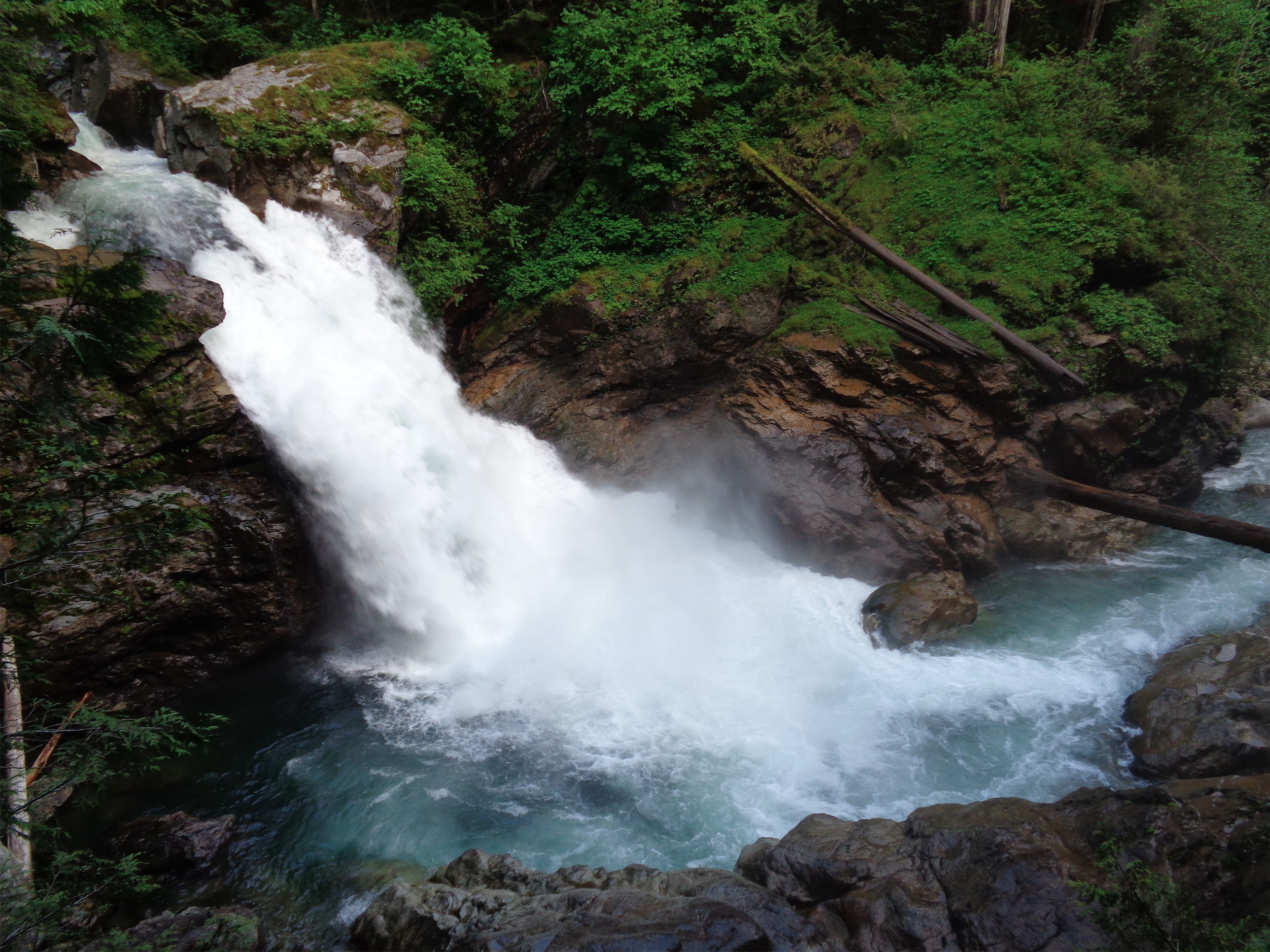
And we jogged the remaining four miles. I felt ridiculous, but it was beautiful and efficient and reminded me why I like trail running. The only thing that went wrong with the boots was that they untied about a mile from the end of the trail. I have to say, that was the LAST issue I expected to have running in fully insulated mountaineering boots. I thought everything else would go wrong first. Hot feet, shin bang, blisters, nope. Just untied laces. So I stooped to retie them, grabbed a drink from a nearby stream, and caught up with Brian and Kyle back at the trailhead.
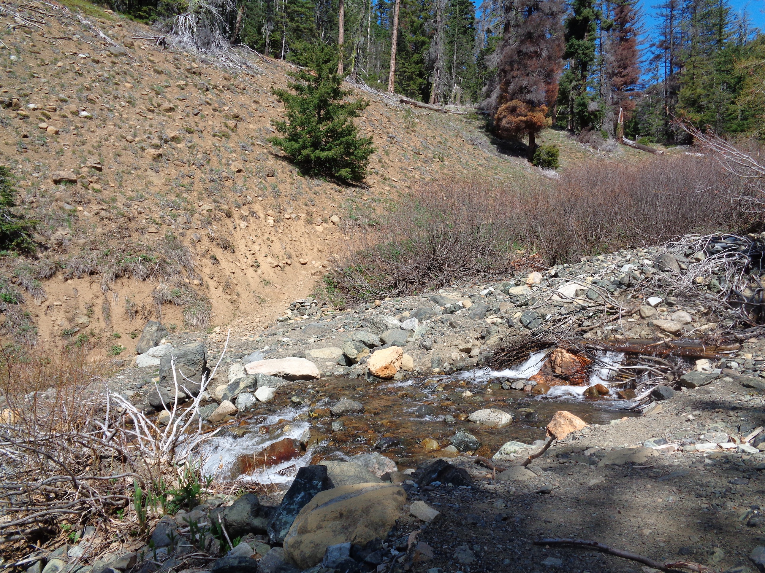
We spent some time chilling by the river (which was a little sandy! Who knew!) to cool off and relax before the drive home. On the way back, we stopped at a the North Fork Brewery to get drinks and pizza, which were both delicious. I’d recommend the Thai pizza. It seems like a weird combo, but I think it was the best of the three that we got. And naturally we had to finish all of the pizzas.
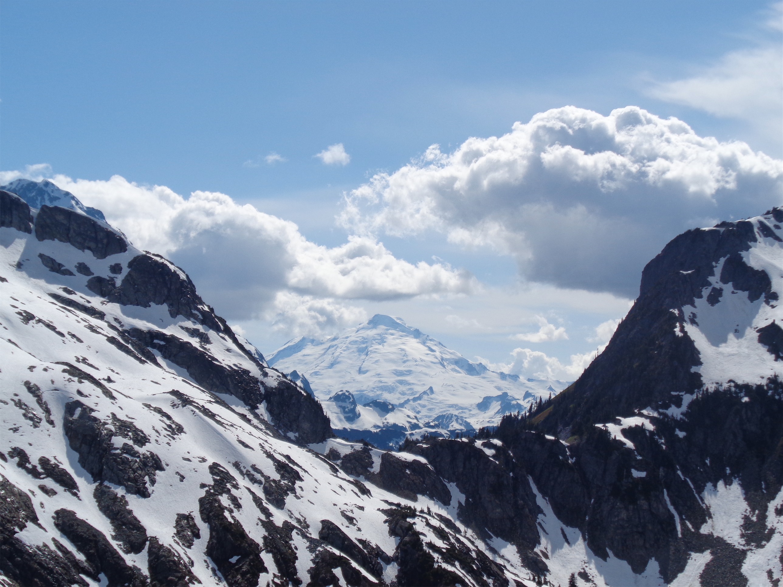
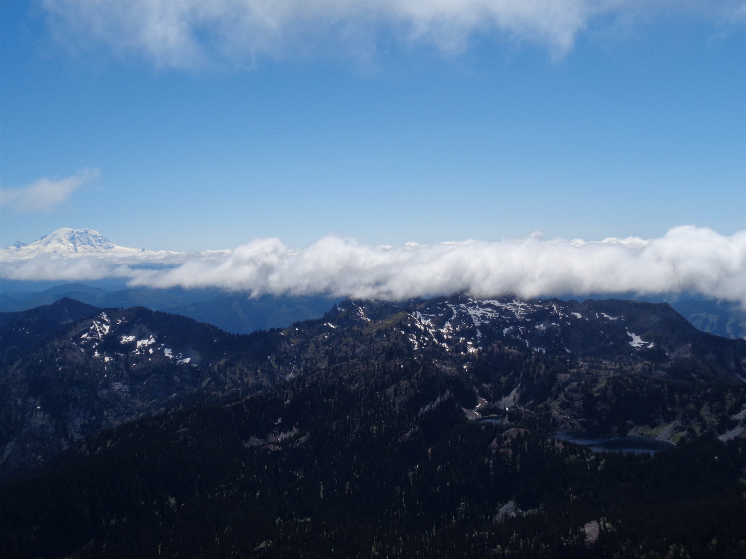
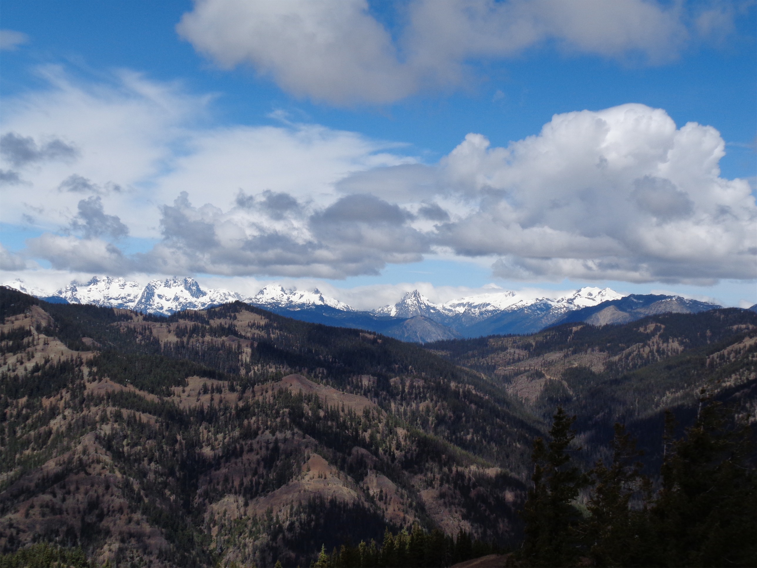
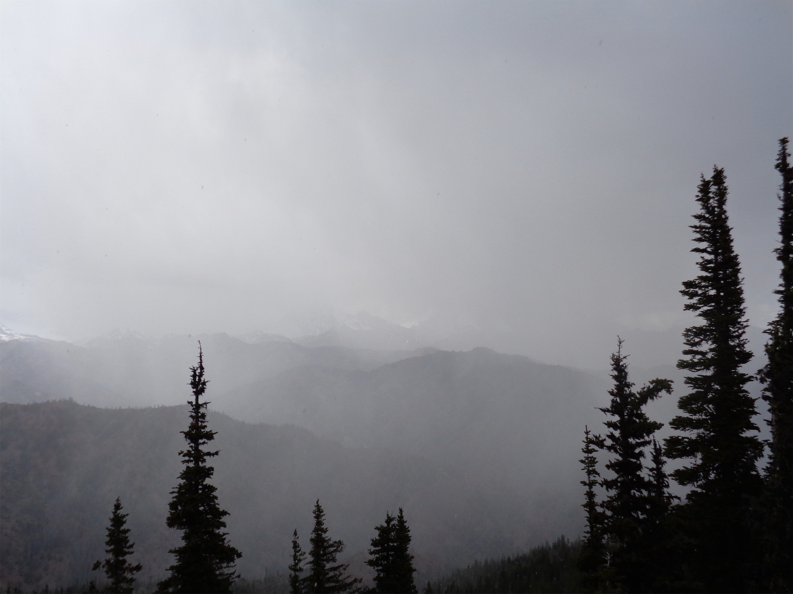
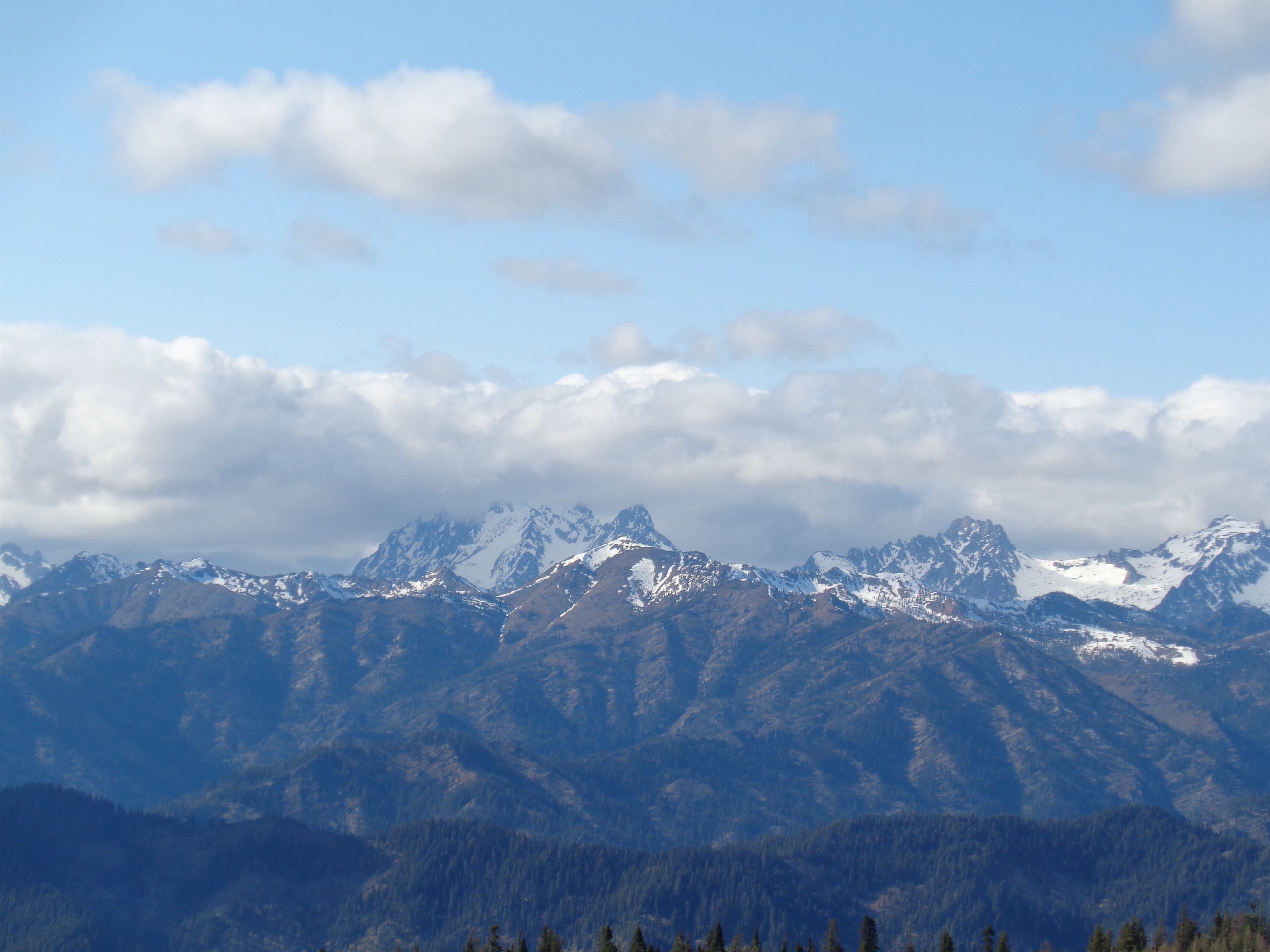
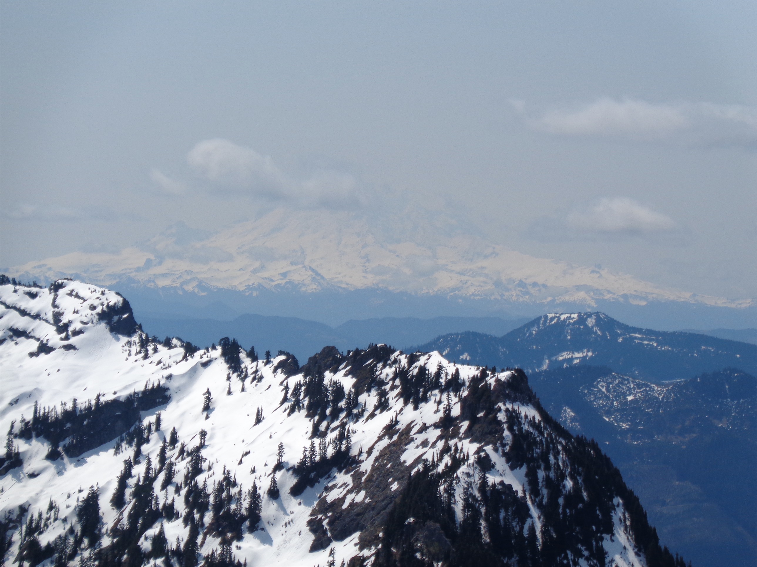
Glimpse of Baker in the clouds
Oh, and then it turned out someone had left my trunk open for our entire dinner meal. Ironic, because as I was walking in I saw a Subaru with an open trunk and thought “wow, people are so trusting out here!” and upon getting back to my car, there was the wide open trunk with thousands of dollars worth of mountaineering gear. But nothing was taken! Unbelievable.

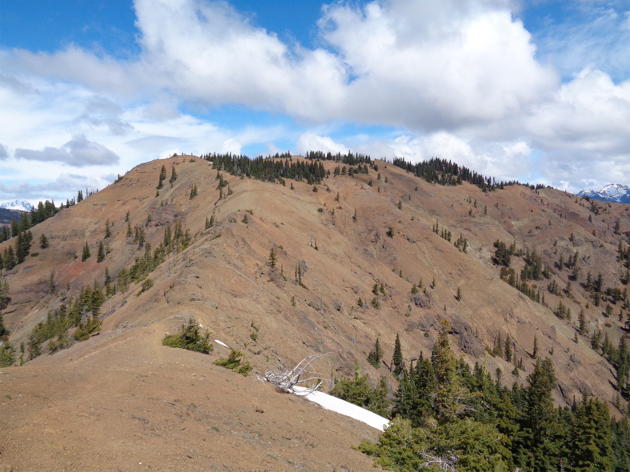
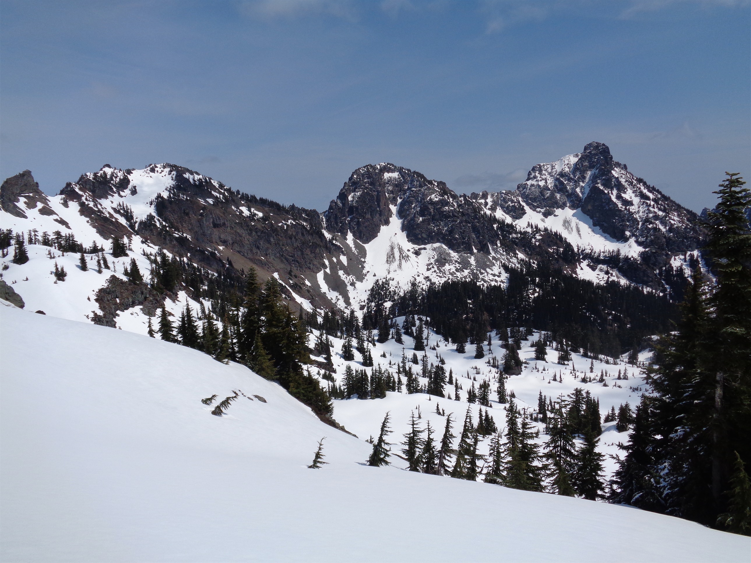
Peaks to the west of Ruth I don’t recognize